Trails in United Kingdom
3,857 hiking trails, each with its route, climb, walking time and grade.
All trails, page 71 of 81
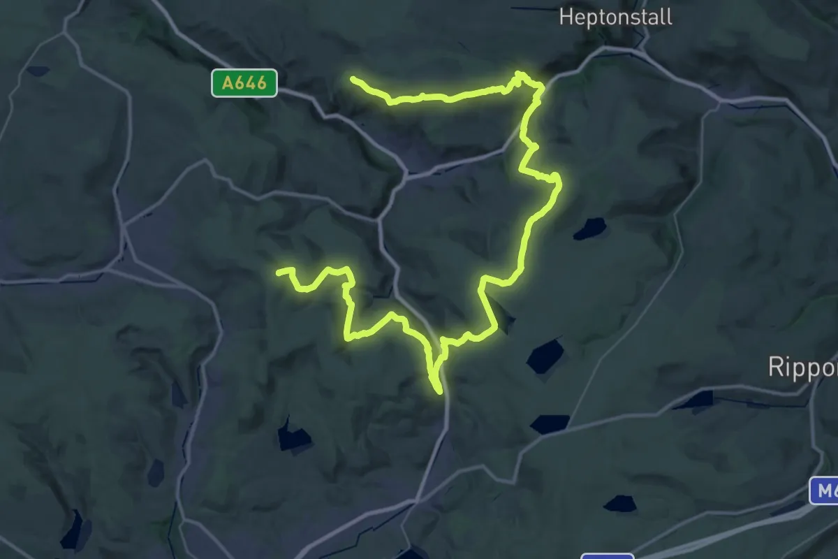
Demanding · Summit
Todmorden Centenary Way
50.1 km · ↑ 1475 m · 15 h 1 min
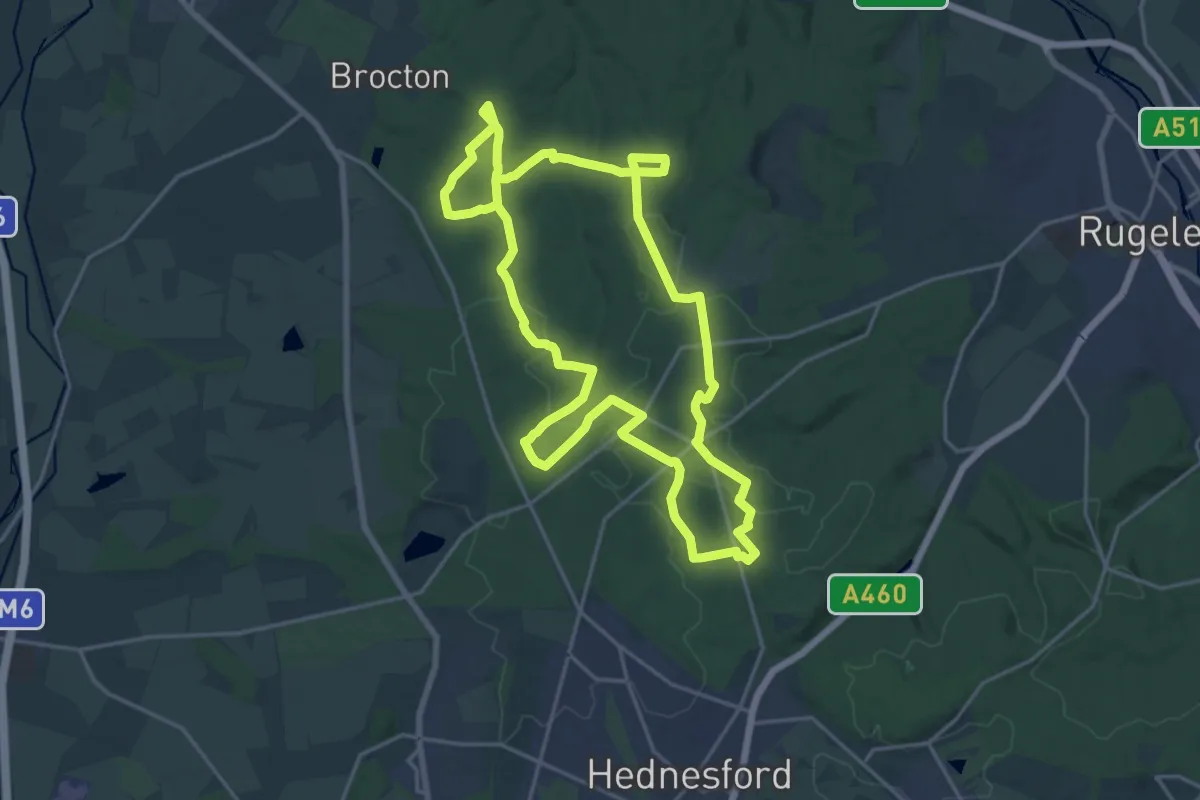
Medium · Trail
Tolkien Trail Cannock Chase Walk
17.4 km · ↑ 227 m · 4 h 50 min
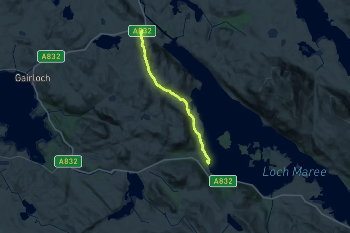
Medium · Trail
Tollie Path
16.7 km · ↑ 493 m · 5 h
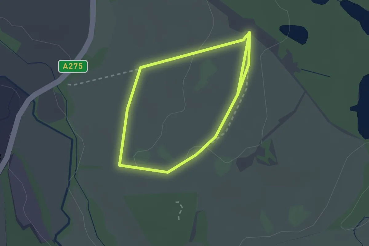
Easy · Trail
Tolls Walk, Sheffield Park
1.8 km · ↑ 14 m · 29 min
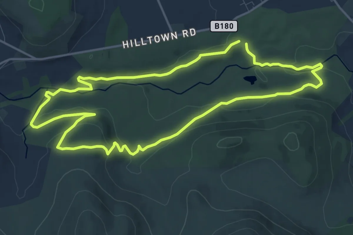
Medium · Trail
Tollymore Forest - Mountain Trail
9.1 km · ↑ 225 m · 2 h 46 min
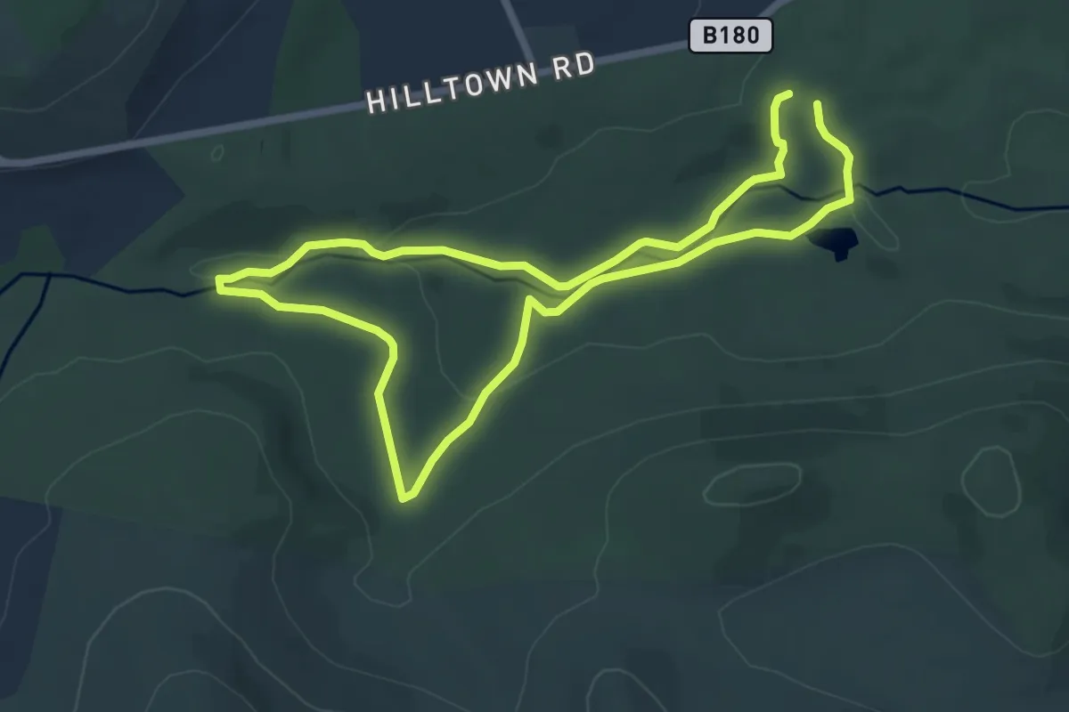
Easy · Trail
Tollymore Forest - River Trail
5.1 km · ↑ 125 m · 1 h 32 min
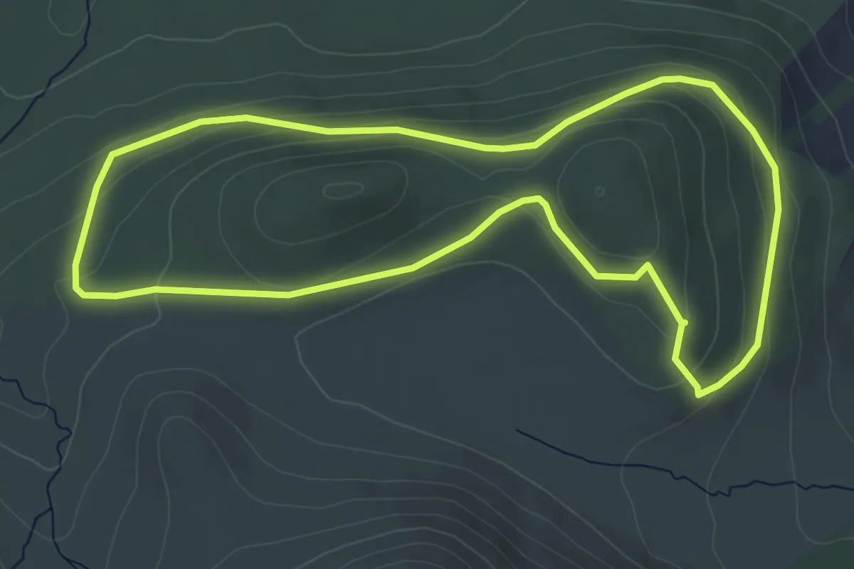
Easy · Trail
Tollymore Forest - The Drinns Trail
4.8 km · ↑ 178 m · 1 h 36 min
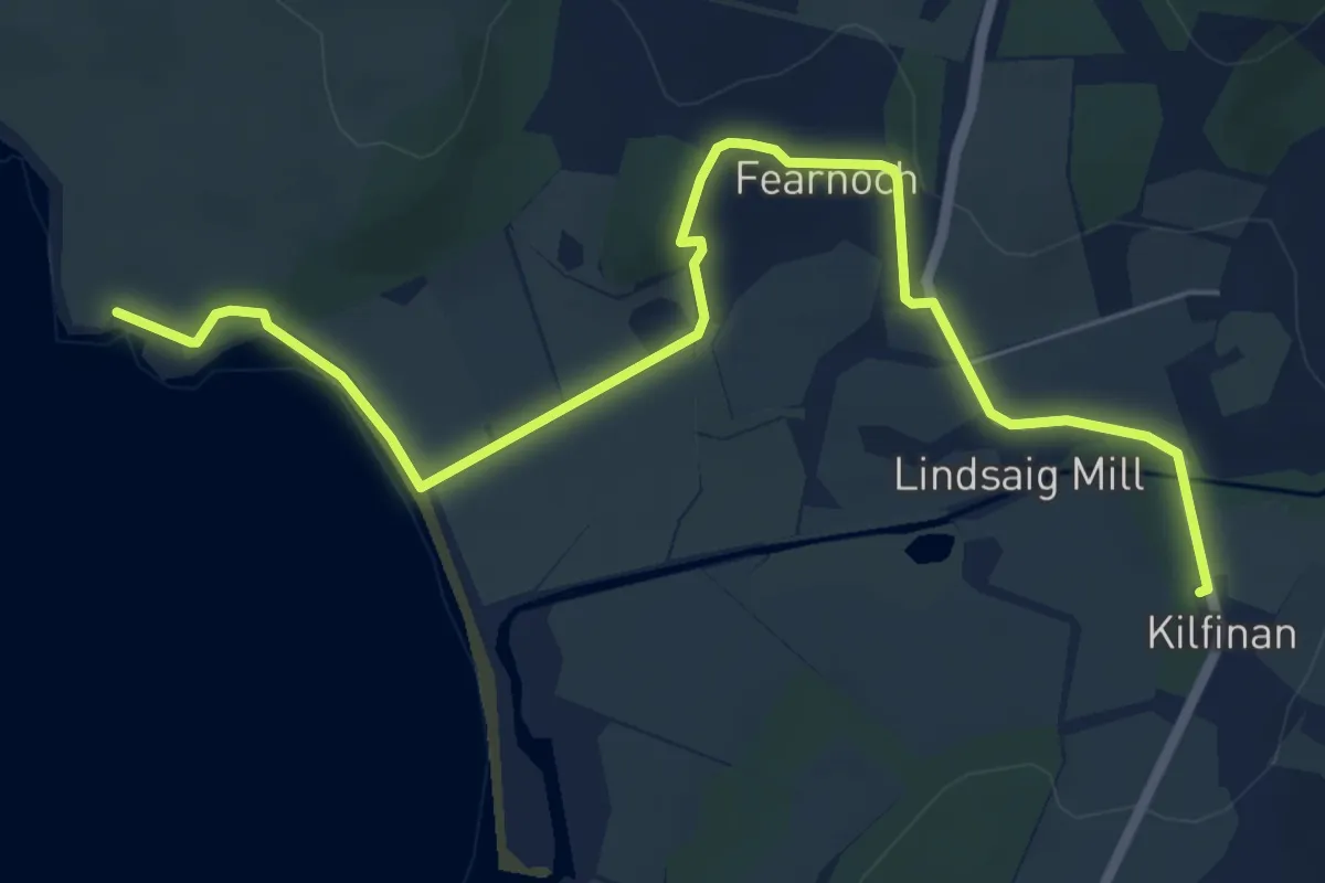
Easy · Trail
To Mcewan Cairn
6.0 km · ↑ 75 m · 1 h 34 min
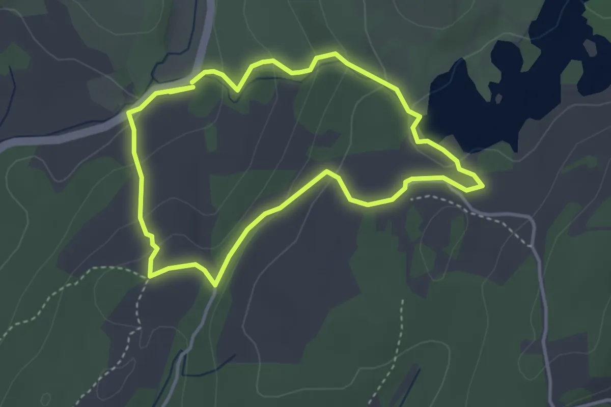
Easy · Trail
Tom Gill to Tarn Hows walk, Tarn Hows, South Lakes Outdoors
2.8 km · ↑ 119 m · 57 min
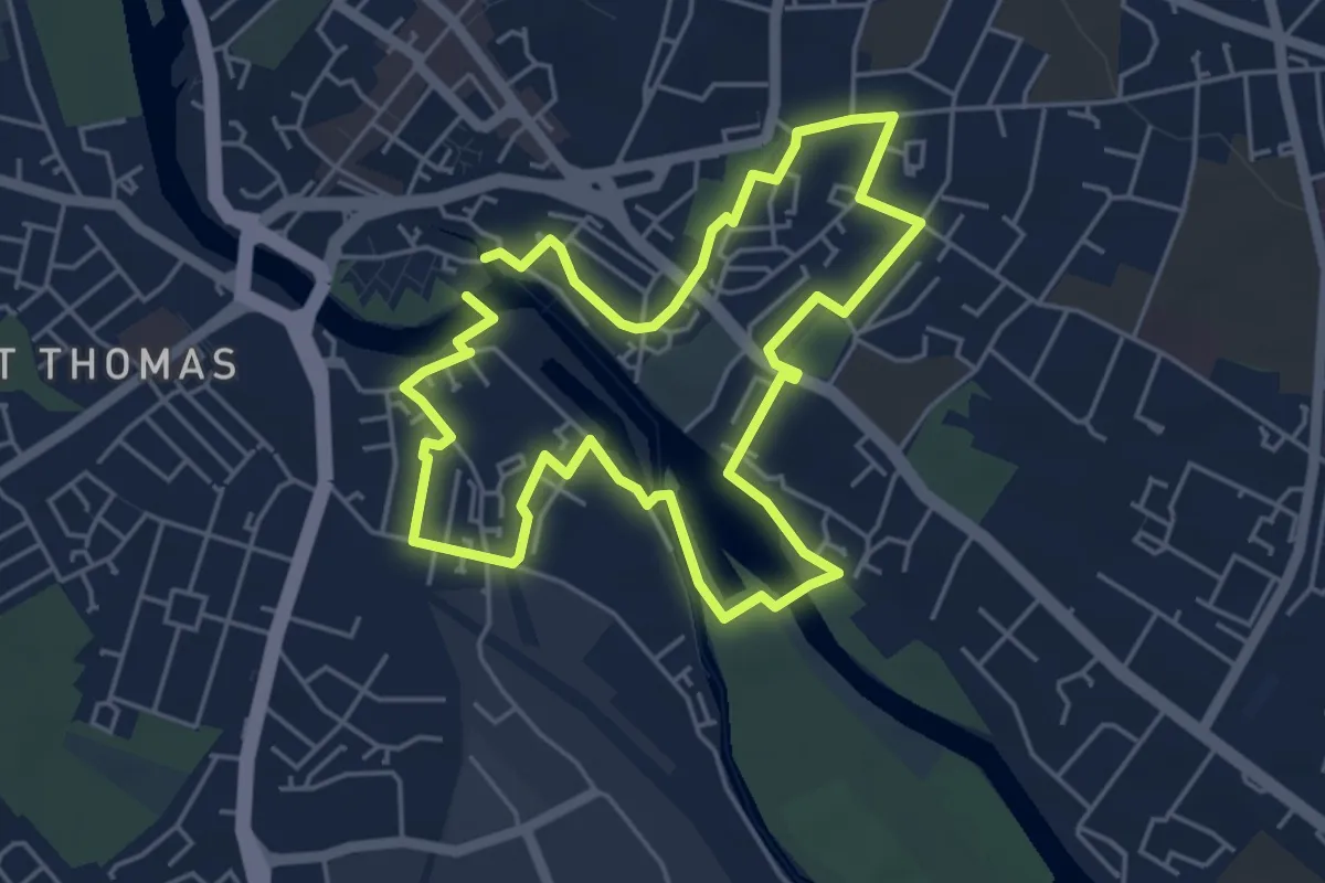
Easy · Trail
Tommy Cooper Trail
4.3 km · ↑ 34 m · 1 h 9 min
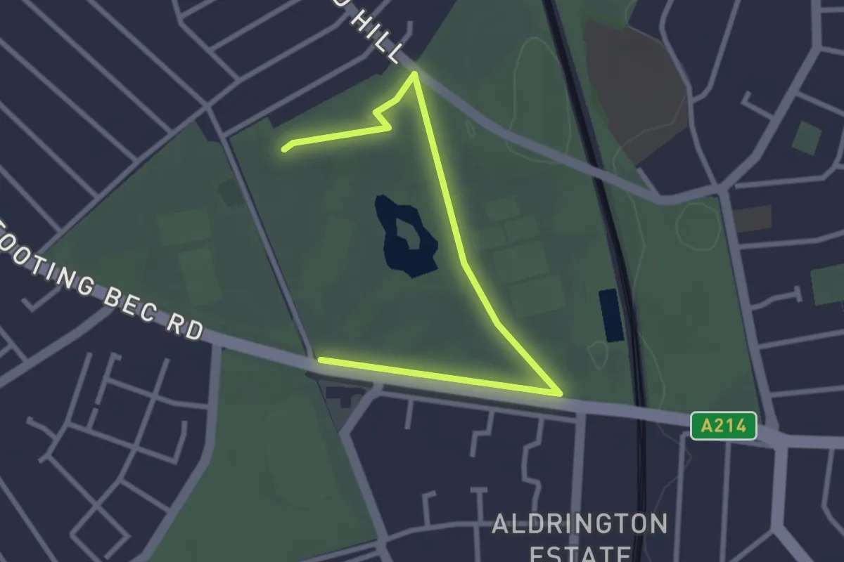
Easy · Trail
Tooting Common parkrun
2.7 km · ↑ 8 m · 40 min
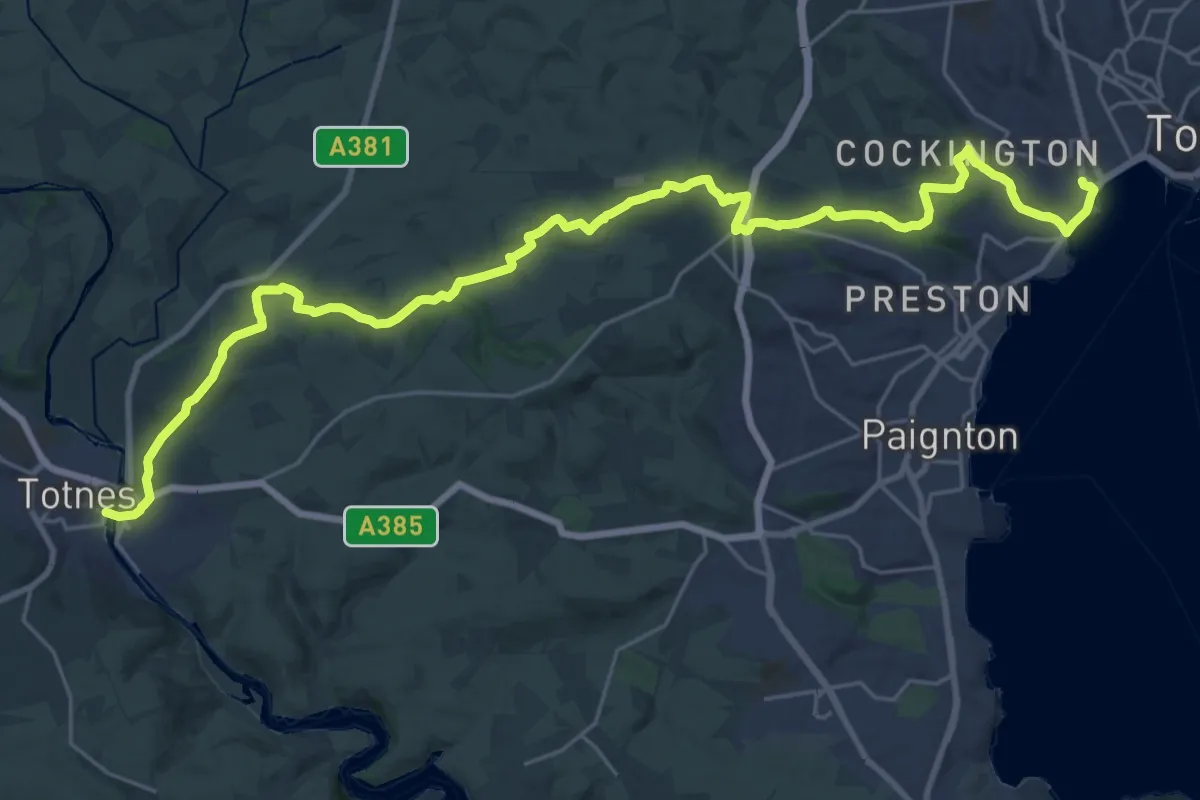
Medium · Trail
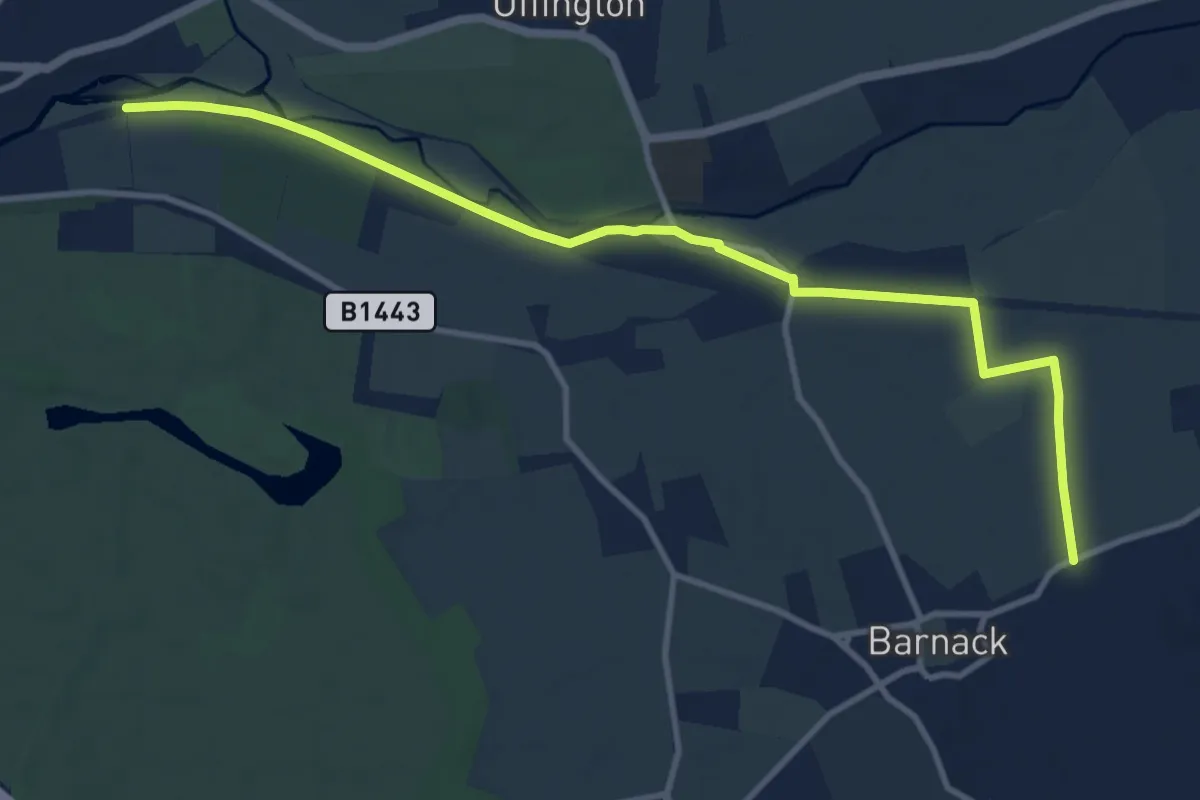
Torbay Totnes Trail (3T)
15.2 km · ↑ 360 m · 4 h 35 min
Medium · Trail
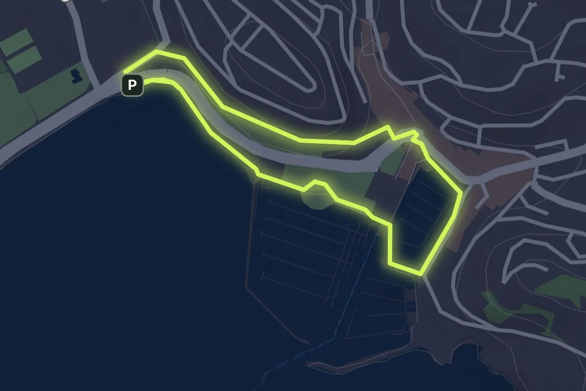
Torpel Way
10.5 km · ↑ 0 m · 2 h 29 min
Easy · Trail
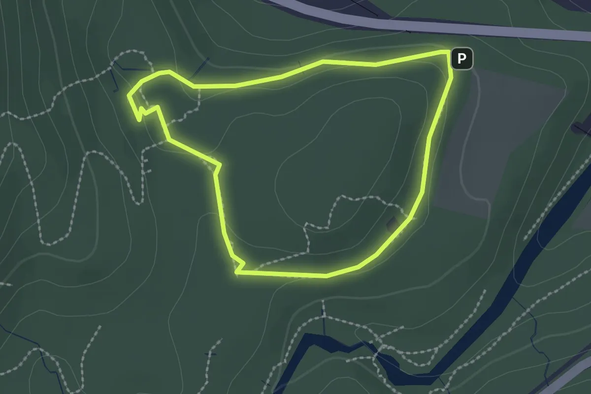
Torquay Harbour Trail
2.2 km · ↑ 28 m · 37 min
Easy · Trail
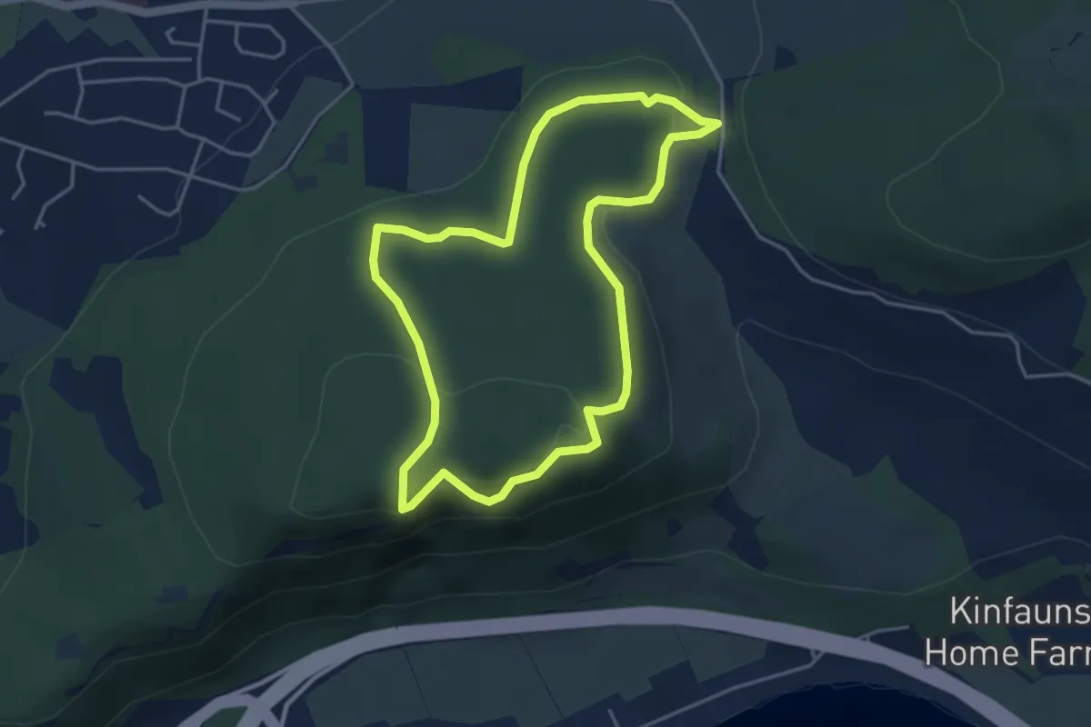
Torryvald Route
1.7 km · ↑ 38 m · 31 min
Easy · Summit
Tower Trail
3.2 km · ↑ 98 m · 1 h 1 min
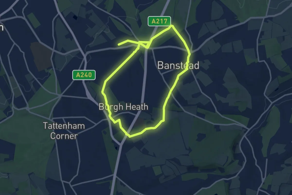
Medium · Trail
Town and Down Circular Walk
18.0 km · ↑ 186 m · 4 h 39 min
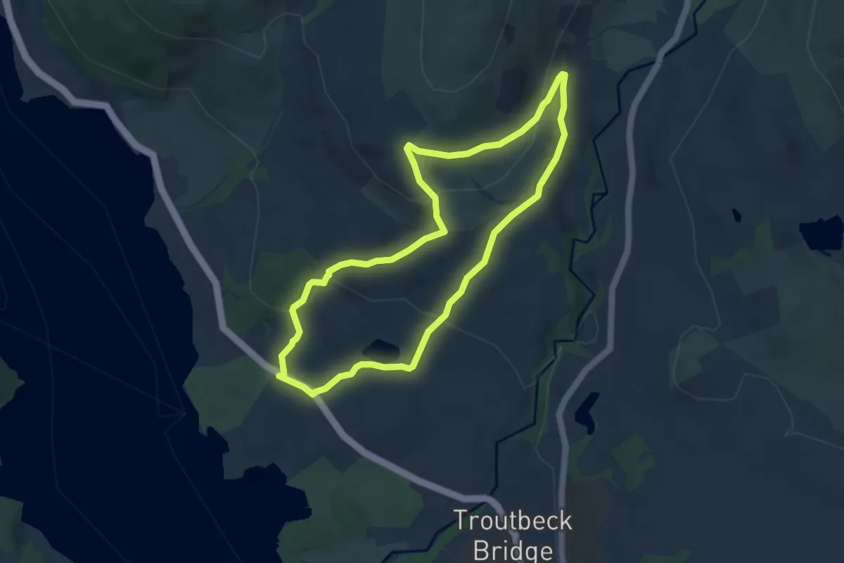
Easy · Trail
Townend and Troutbeck Valley Walk, Windermere
5.7 km · ↑ 197 m · 1 h 50 min
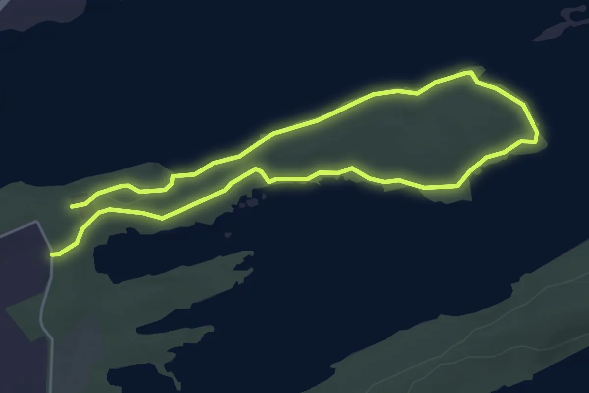
Easy · Trail
Trail 3 - Rossergole Point Walk, Castle Caldwell
6.7 km · ↑ 32 m · 1 h 39 min
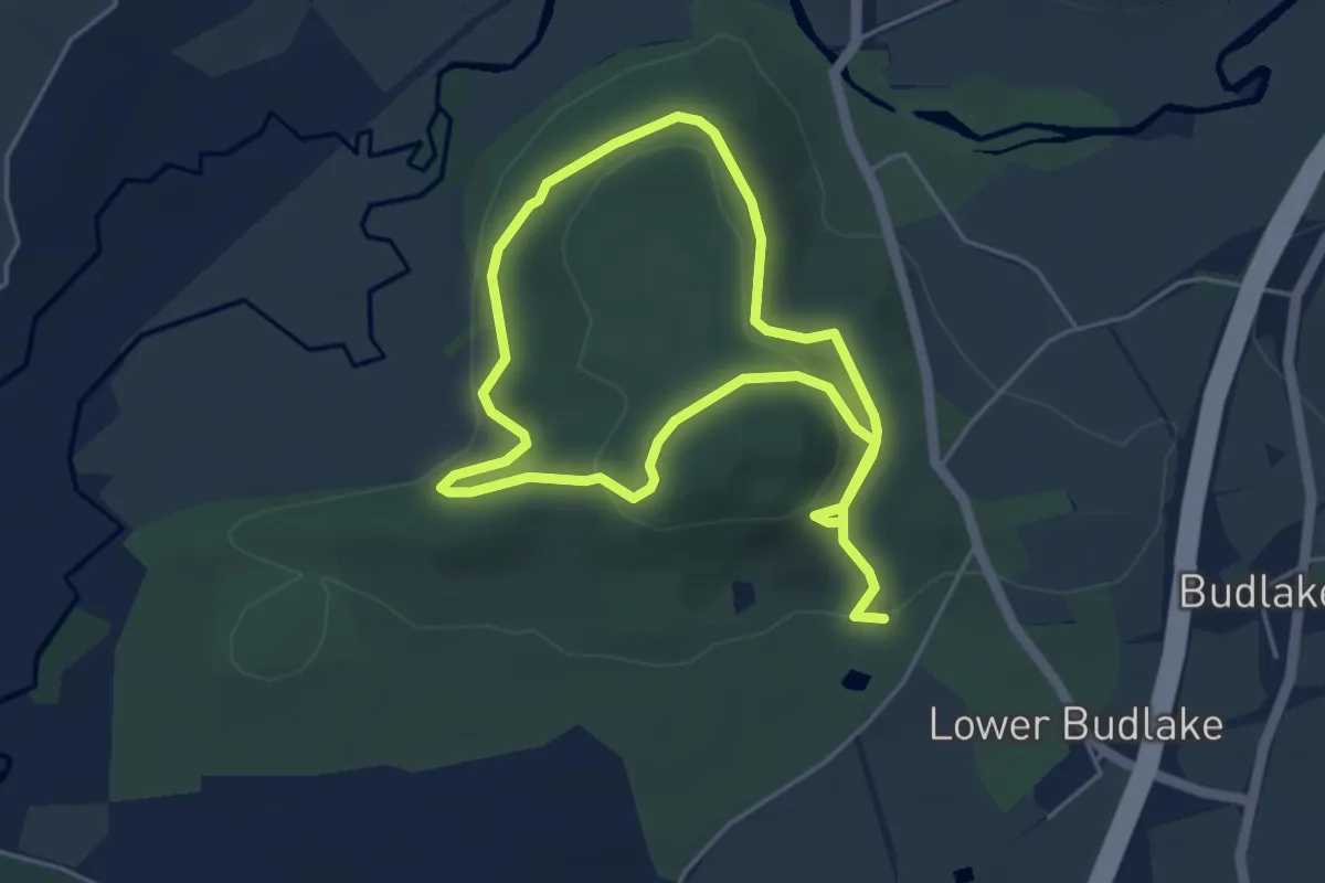
Easy · Summit
Tramper Route, Killerton
3.8 km · ↑ 108 m · 1 h 9 min
Easy · Trail
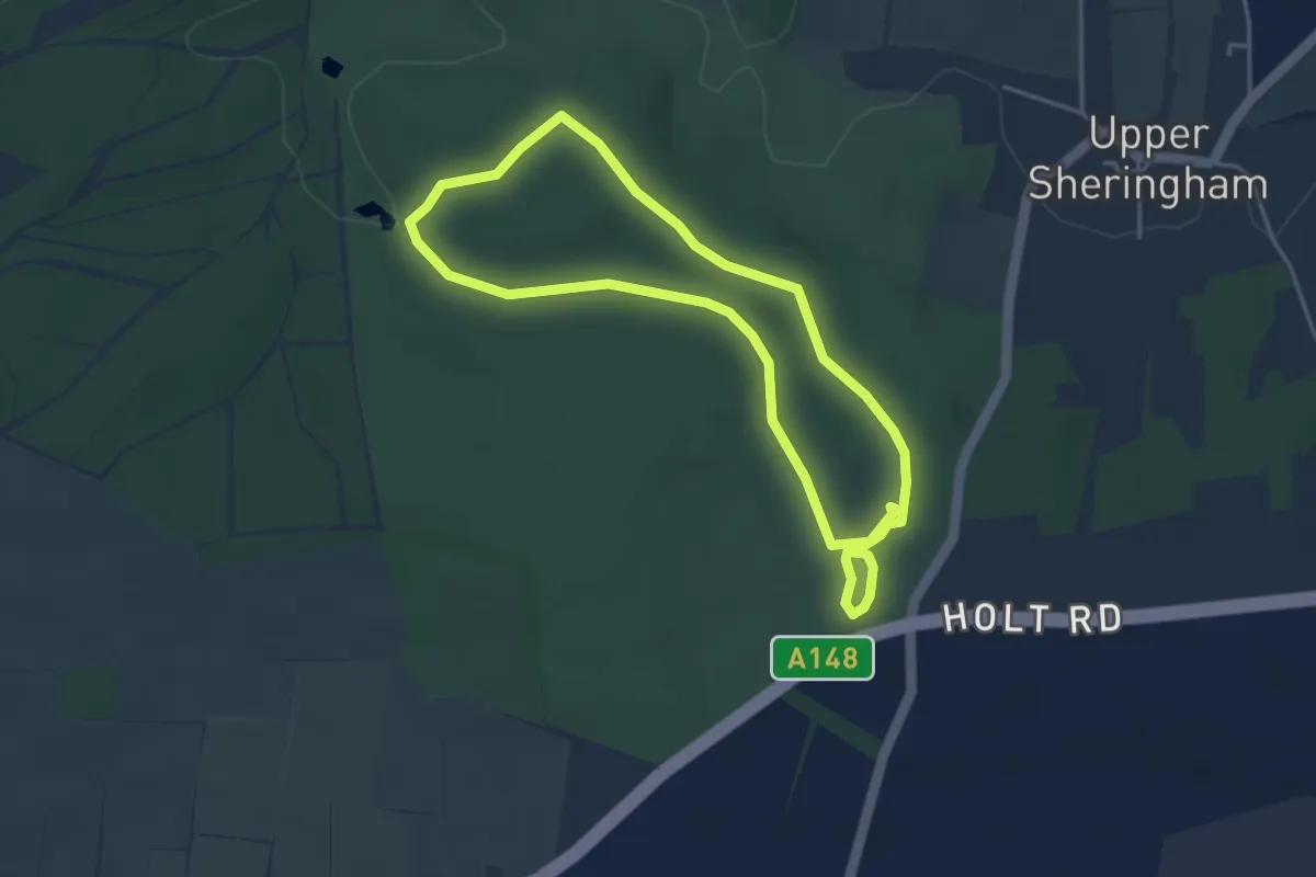
Tramper Route, Sheringham Park
3.3 km · ↑ 35 m · 54 min
Demanding · Trail
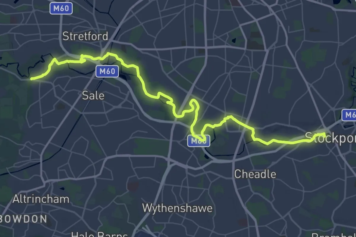
Trans-Pennine Trail (Ashton-upon-Mersey to Stockport)
20.6 km · ↑ 11 m · 5 h 11 min
Medium · Trail
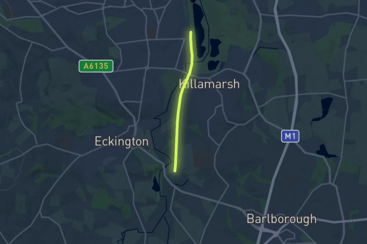
Trans-Pennine Trail (Beighton to Staveley spur)
8.0 km · ↑ 32 m · 1 h 58 min
Easy · Trail
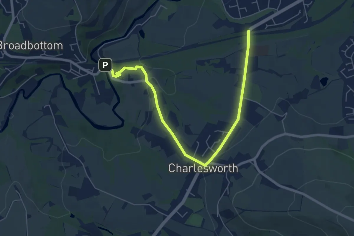
Trans-Pennine Trail (Charlesworth alternative route)
5.6 km · ↑ 134 m · 1 h 36 min
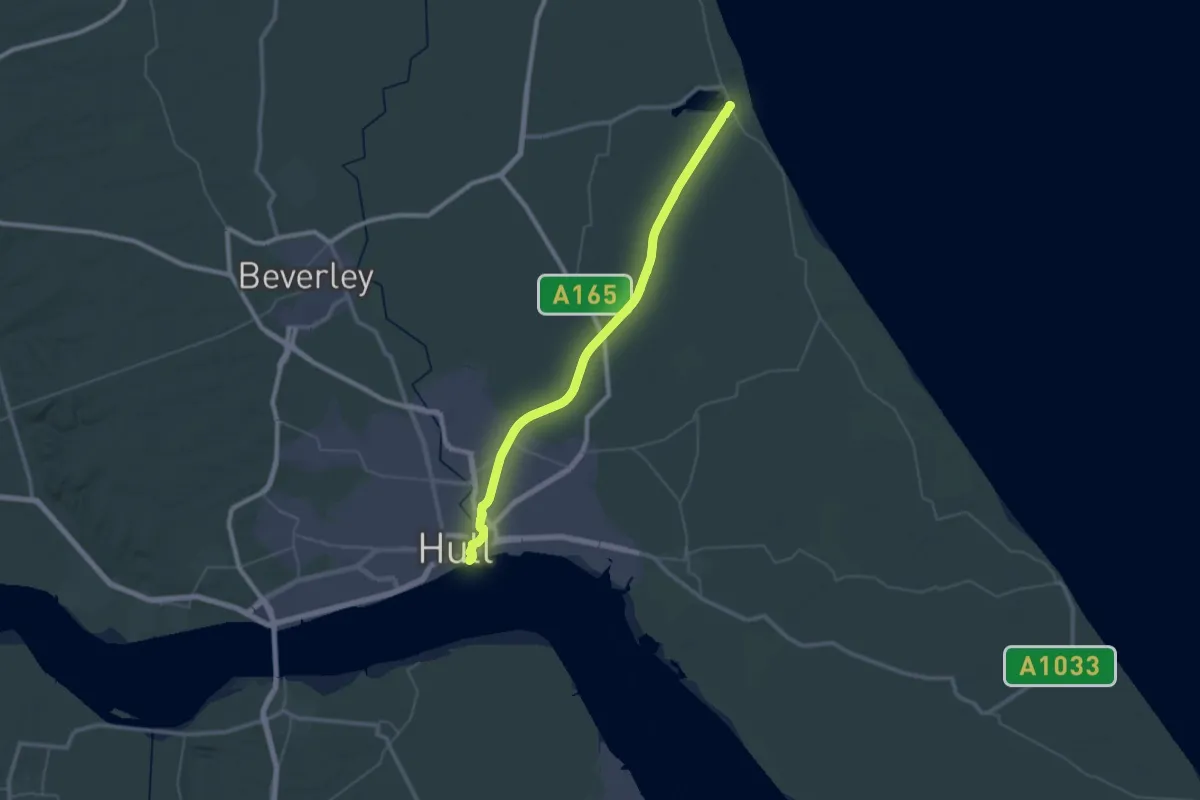
Demanding · Trail
Trans-Pennine Trail (Hull to Hornsea
22.5 km · ↑ 34 m · 5 h 43 min
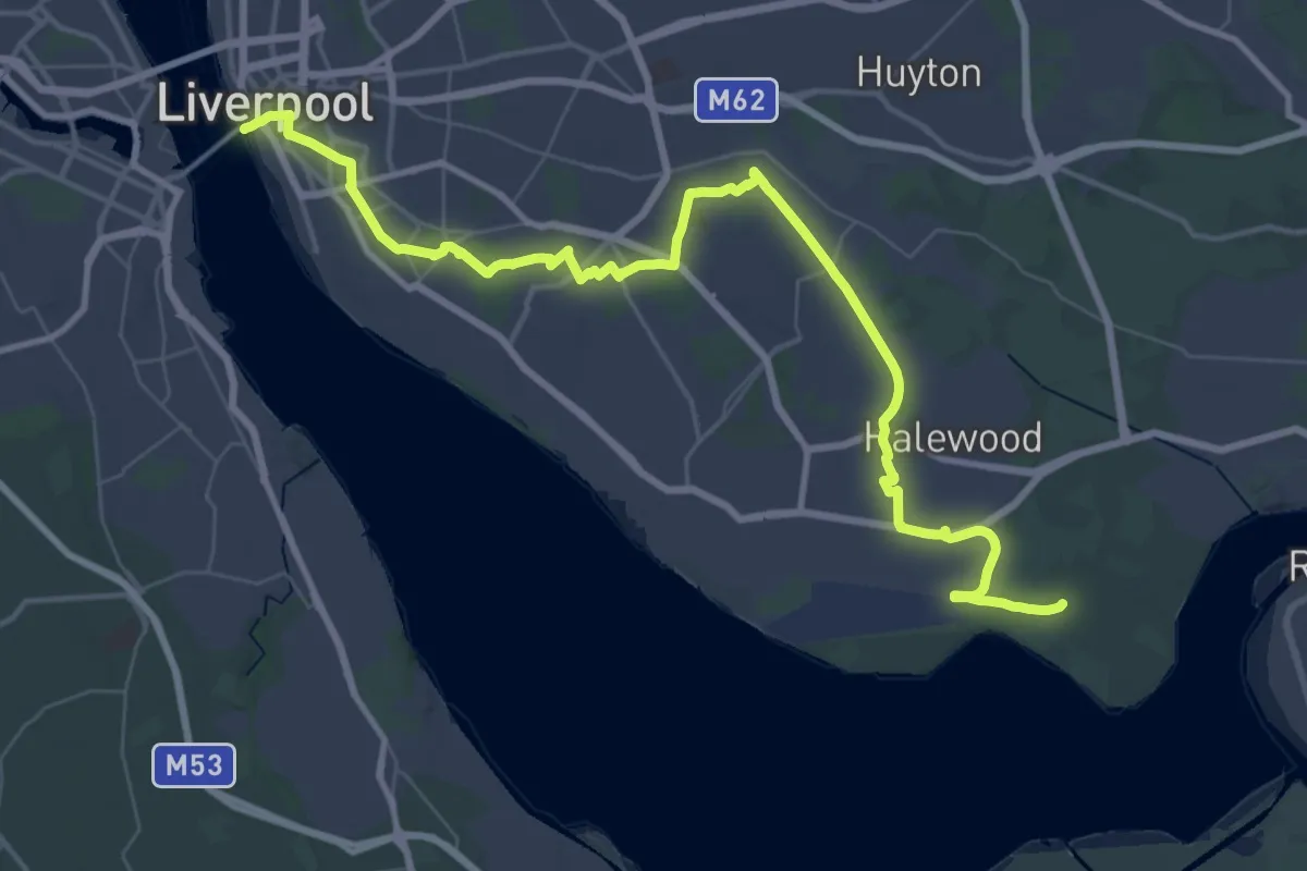
Demanding · Trail
Trans-Pennine Trail (Liverpool to Warrington)
23.2 km · ↑ 95 m · 6 h 1 min
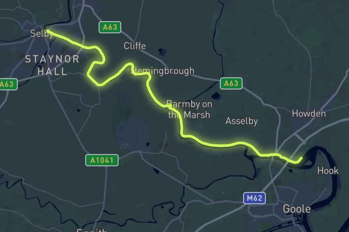
Demanding · Trail
Trans-Pennine Trail (Selby to Hull)
19.7 km · ↑ 0 m · 4 h 56 min
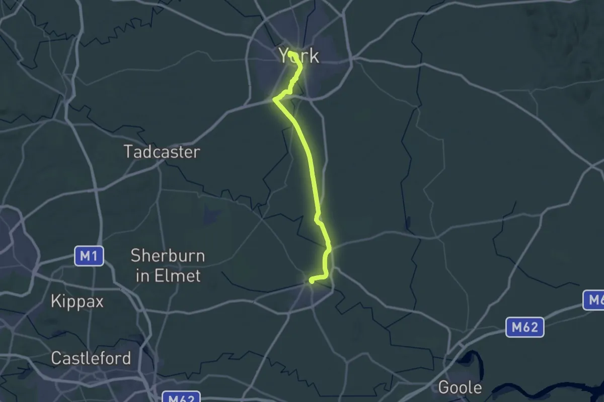
Demanding · Trail
Trans-Pennine Trail (Selby to York)
24.2 km · ↑ 9 m · 6 h 4 min
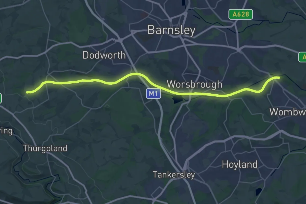
Demanding · Trail
Trans-Pennine Trail (Silkstone Common to Wombwell)
23.4 km · ↑ 188 m · 5 h 56 min
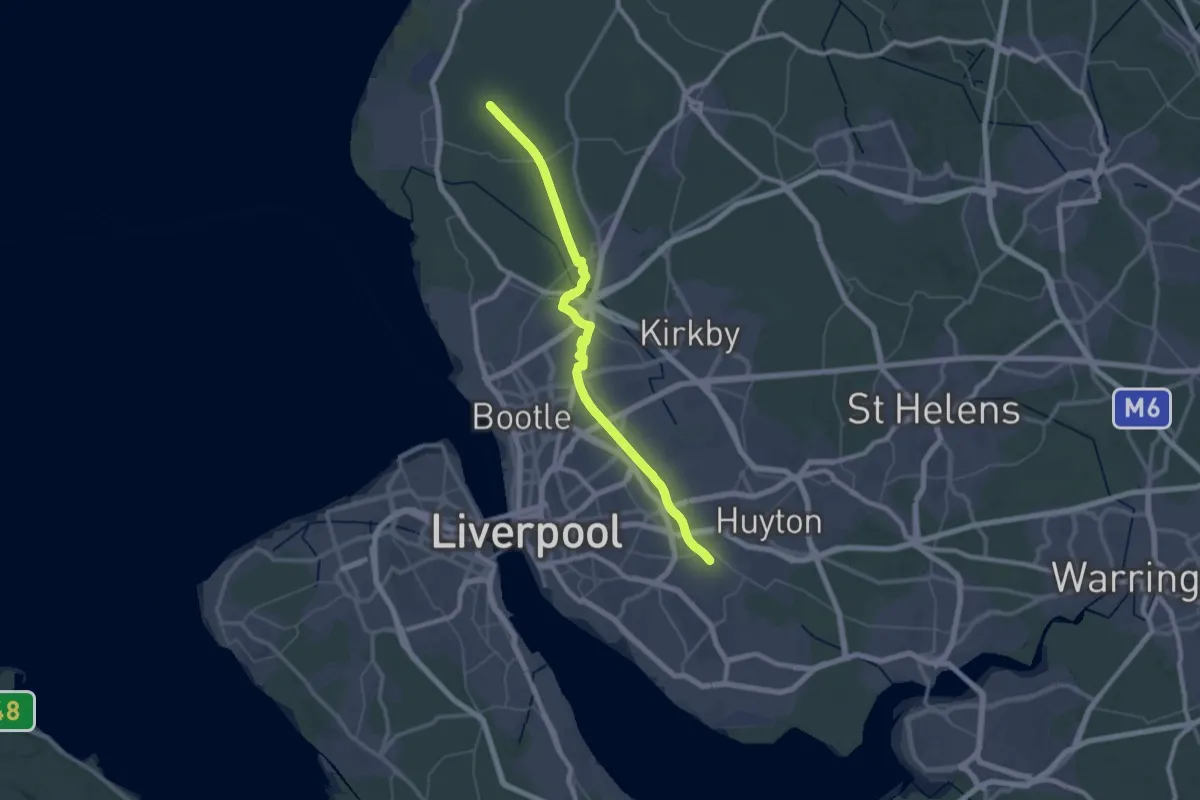
Demanding · Trail
Trans-Pennine Trail (Southport to Liverpool)
24.4 km · ↑ 22 m · 6 h 10 min
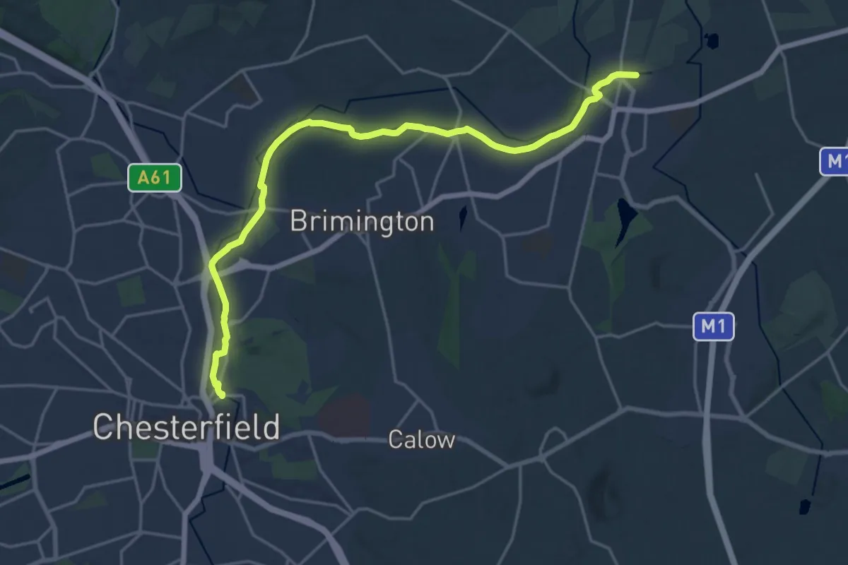
Medium · Trail
Trans-Pennine Trail (Staveley to Chesterfield spur)
17.3 km · ↑ 18 m · 4 h 7 min
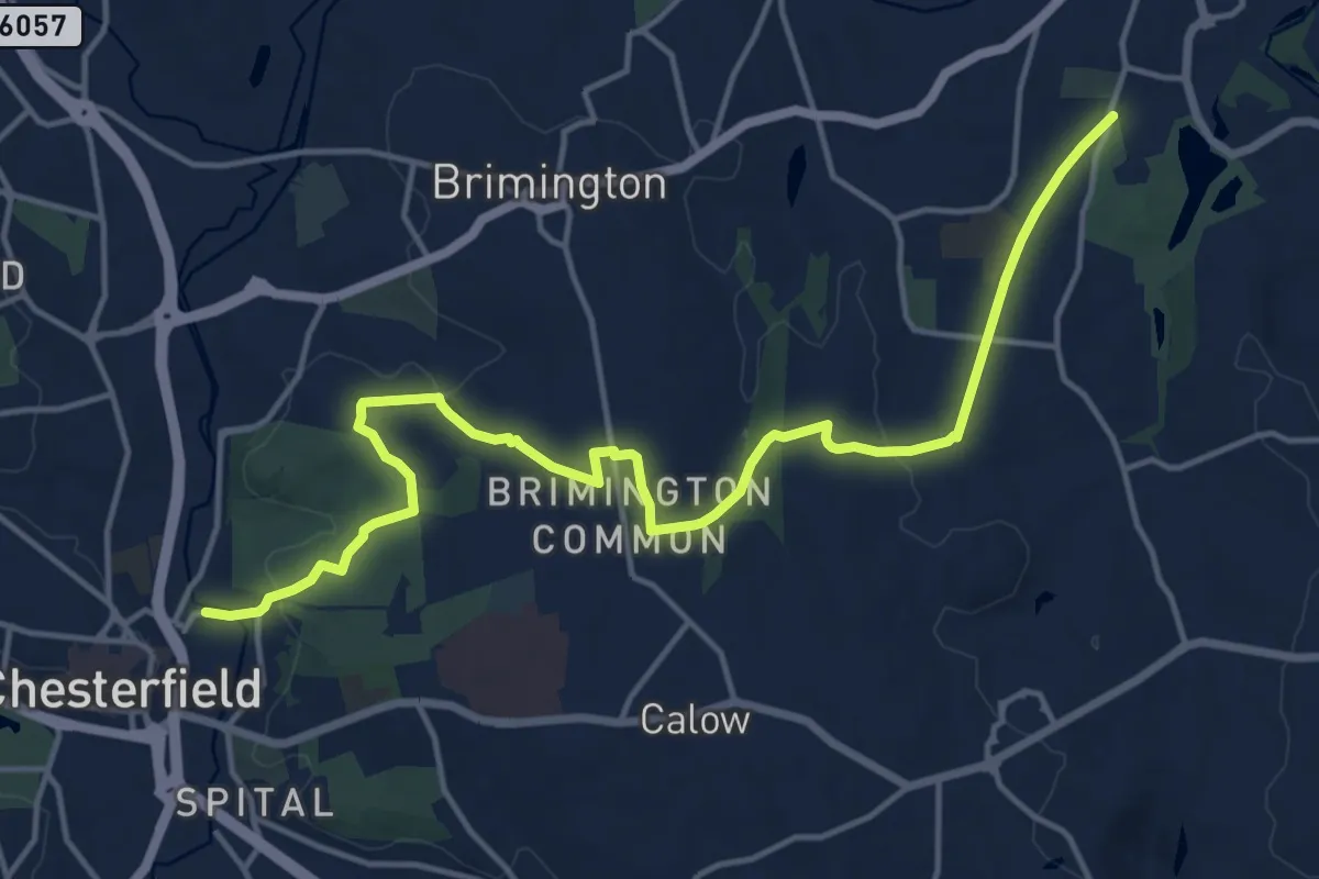
Medium · Trail
Trans-Pennine Trail (Staveley to Chesterfield spur - alternative route)
15.2 km · ↑ 224 m · 4 h 5 min
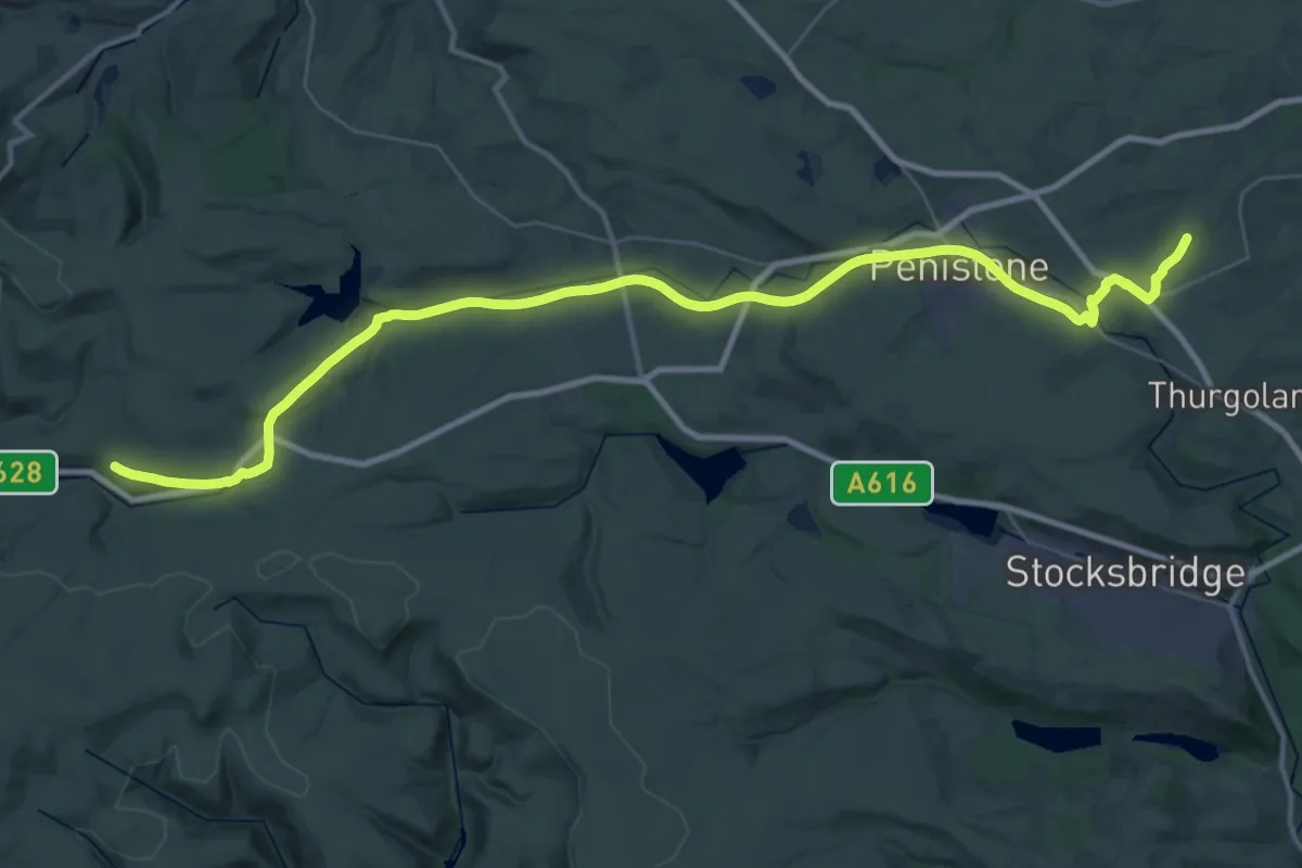
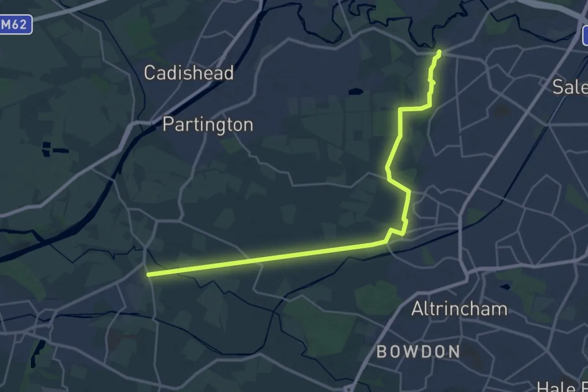
Demanding · Trail
Trans-Pennine Trail (Stockport to Silkstone Common)
19.9 km · ↑ 202 m · 5 h 30 min
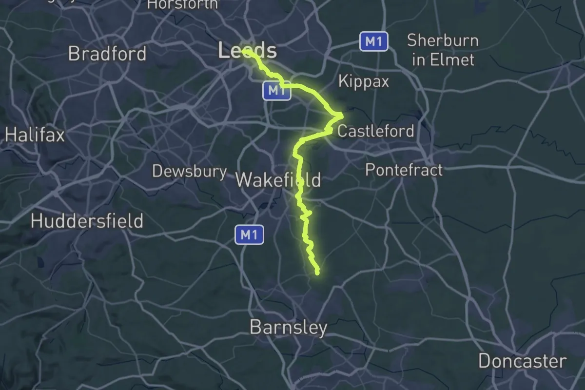
Demanding · Trail
Trans-Pennine Trail (Warrington to Ashton-upon-Mersey)
20.1 km · ↑ 12 m · 4 h 47 min
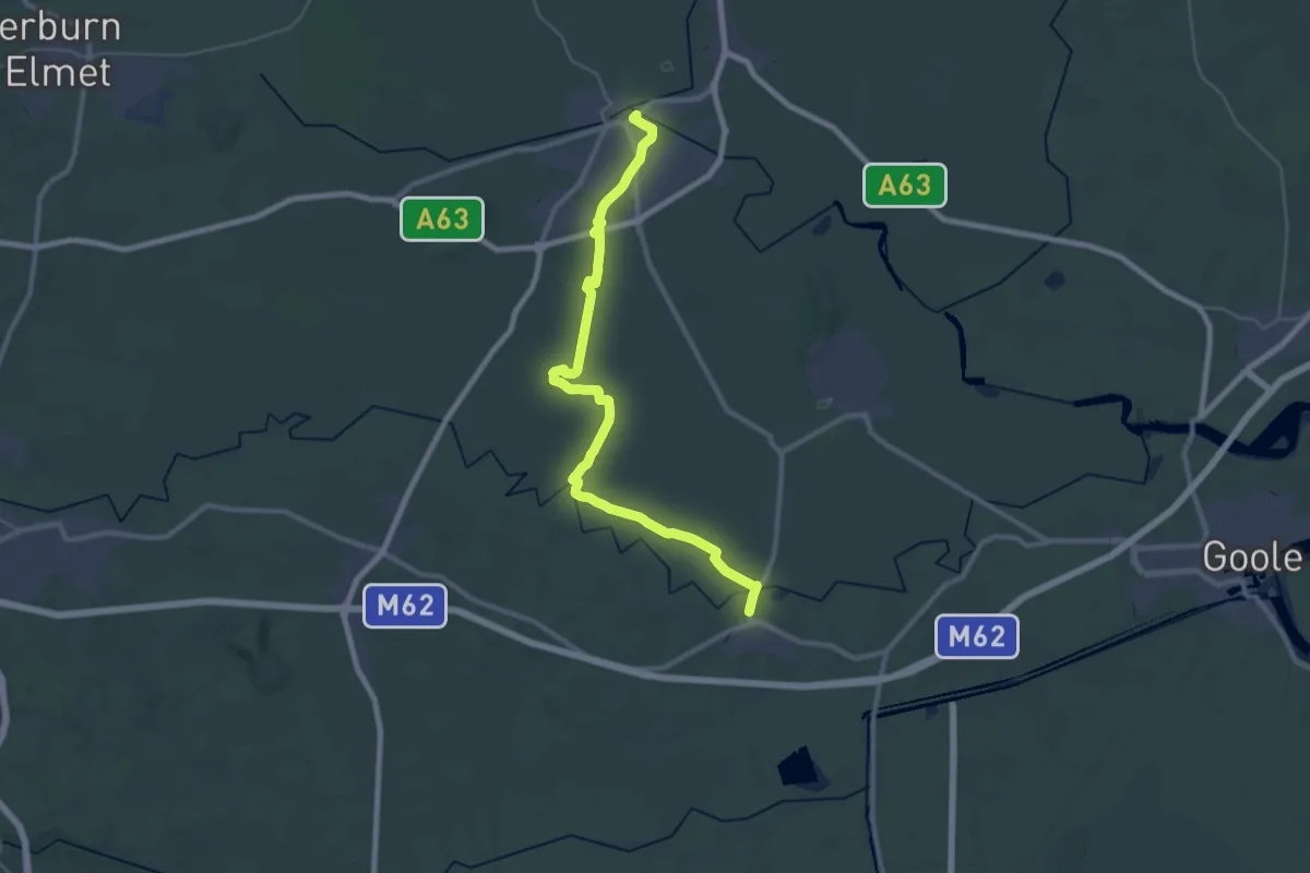
Demanding · Trail
Trans-Pennine Trail (Wombwell to Leeds)
37.4 km · ↑ 118 m · 9 h 36 min
Demanding · Trail
Trans-Pennine Trail (Wombwell to Selby)
31.4 km · ↑ 0 m · 7 h 25 min
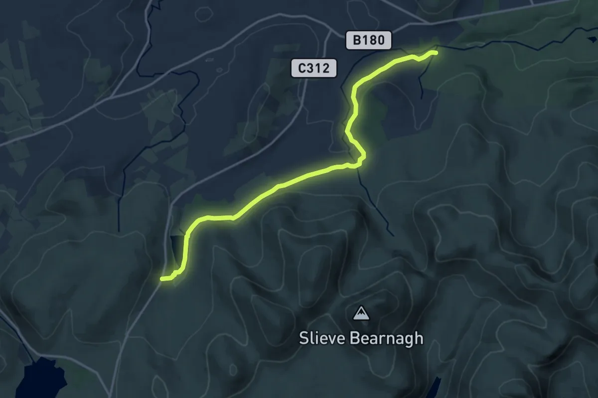
Medium · Trail
Trassey Track
12.5 km · ↑ 276 m · 3 h 33 min
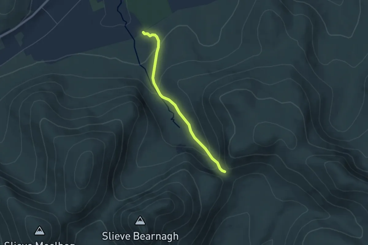
Easy · Trail
Trassey Track (upper)
4.3 km · ↑ 231 m · 1 h 31 min
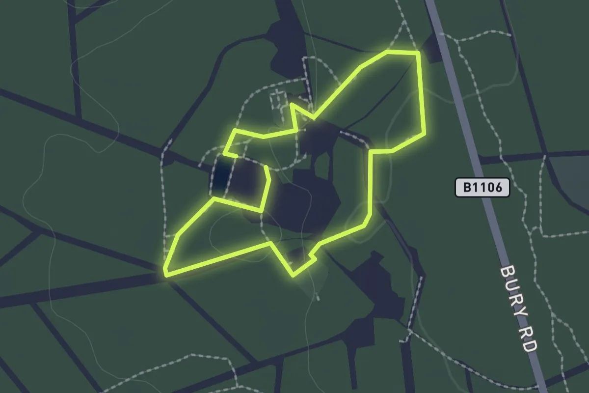
Easy · Trail
Tree and History Trail
1.6 km · ↑ 13 m · 26 min
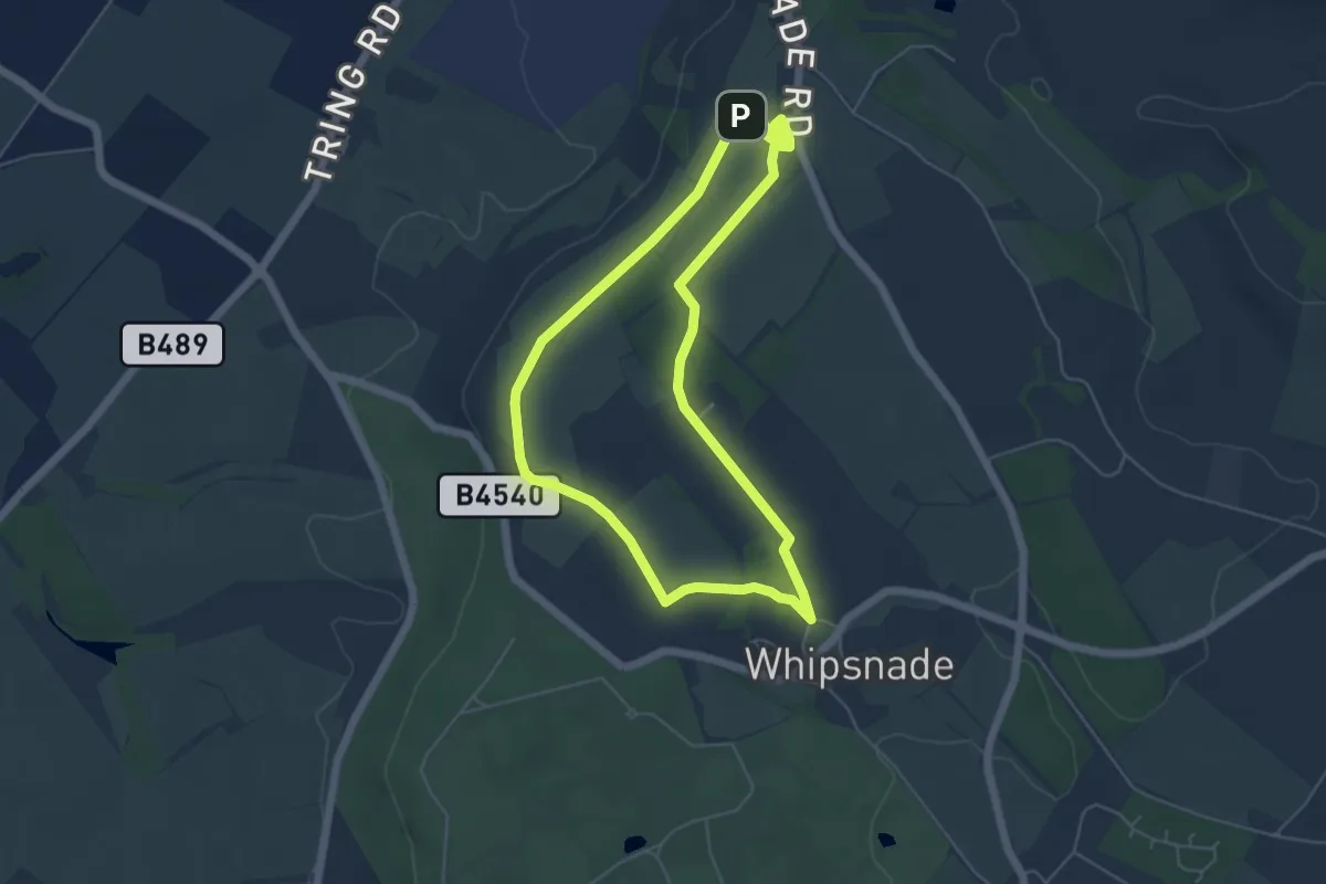
Easy · Summit
Tree Cathedral Walk, Dunstable Downs and Whipsnade Estate
4.7 km · ↑ 39 m · 1 h 15 min
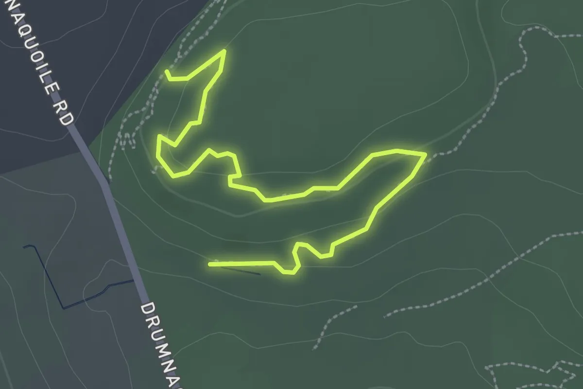
Easy · Trail
Treetop Trail
1.5 km · ↑ 25 m · 27 min
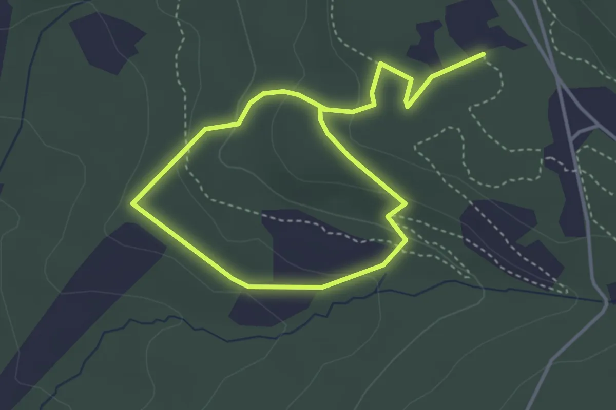
Easy · Trail
Tree Trail
5.2 km · ↑ 163 m · 1 h 34 min
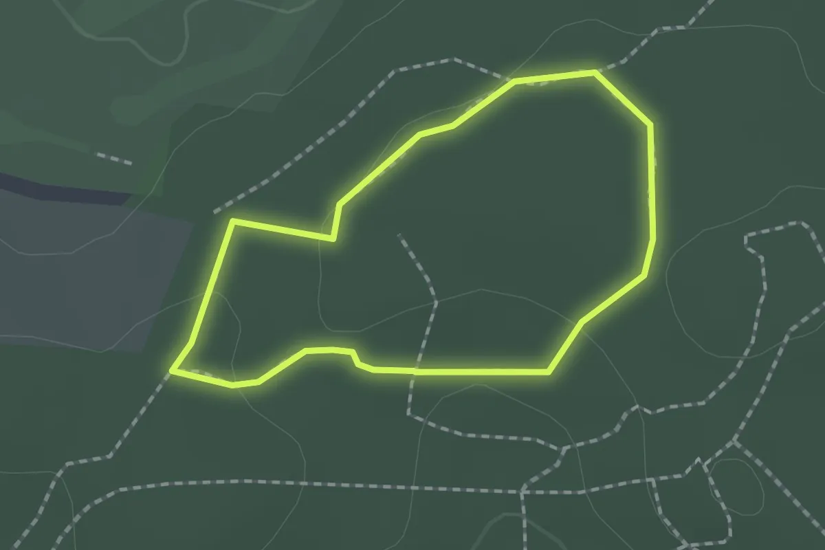
Easy · Trail
Tree Trail, Cobham Mausoleum & Woods
1.4 km · ↑ 14 m · 22 min
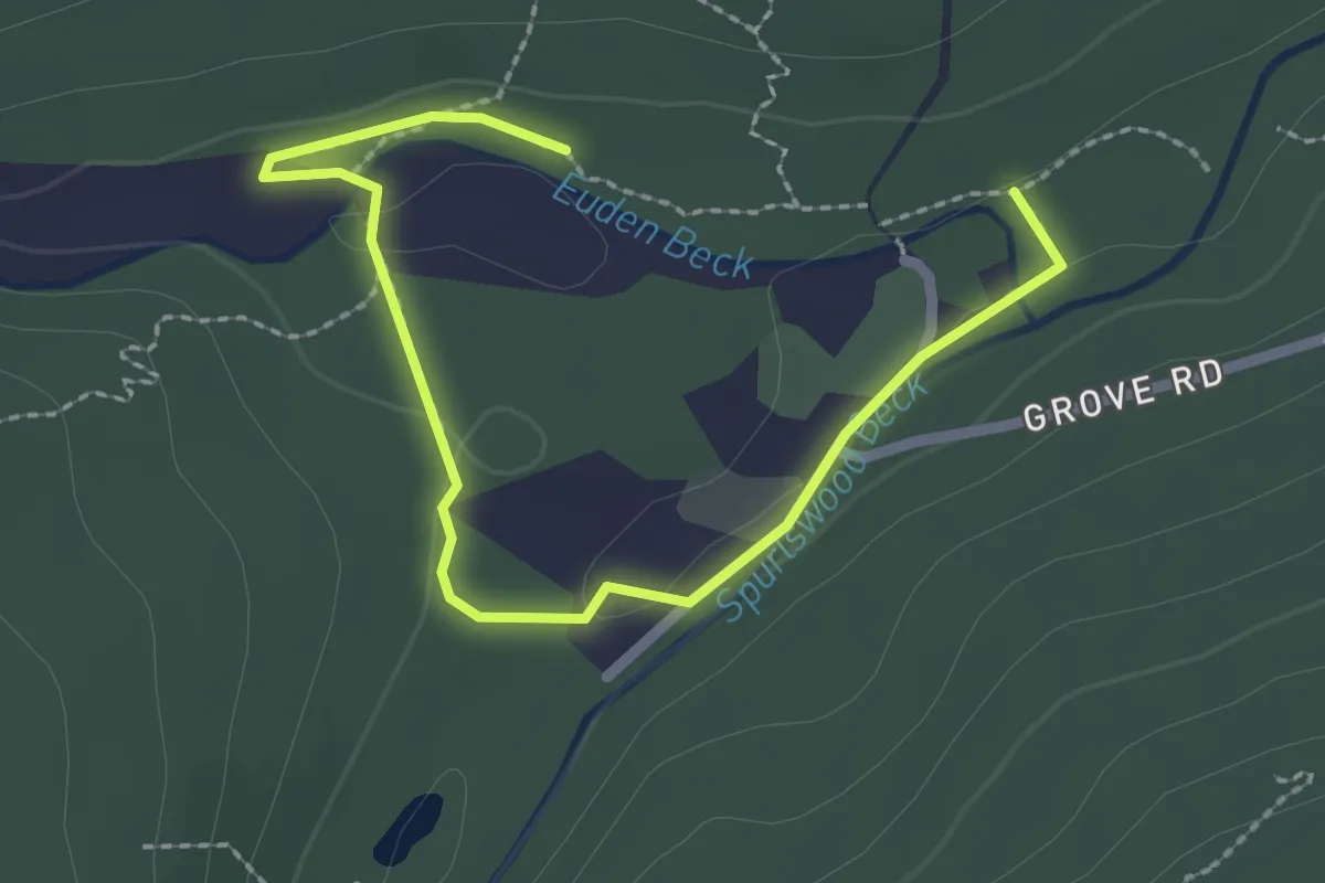
Easy · Trail
Tree Walk
2.4 km · ↑ 43 m · 40 min
Medium · Trail
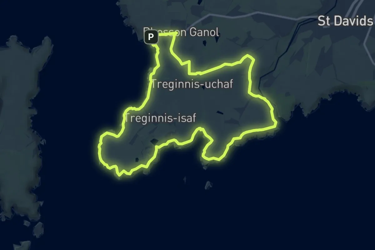
Treginnis Walk from Porthclais, Pembroke
10.2 km · ↑ 111 m · 2 h 47 min
Easy · Trail
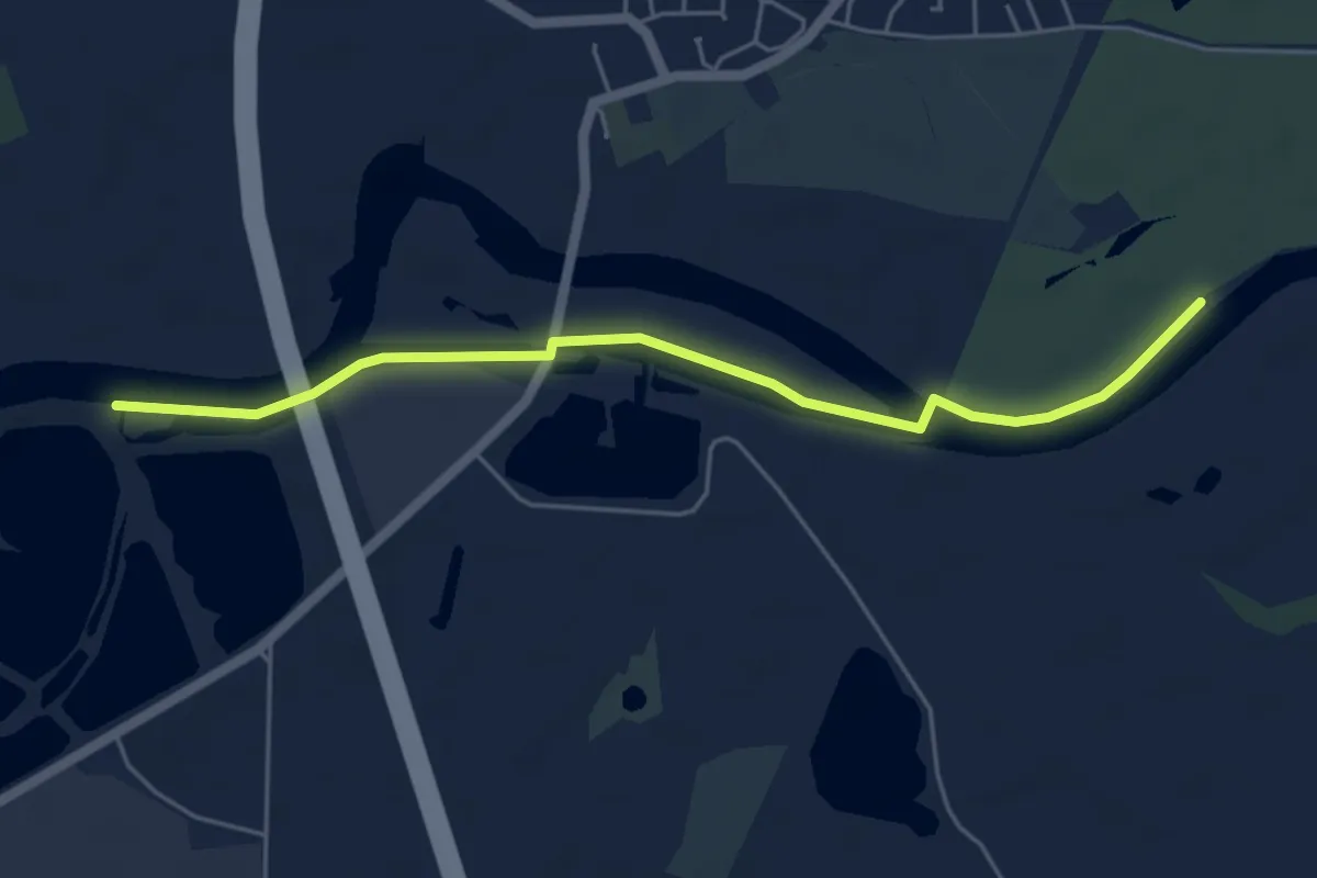
Trent Valley Way
4.7 km · ↑ 0 m · 1 h 6 min
Easy · Trail
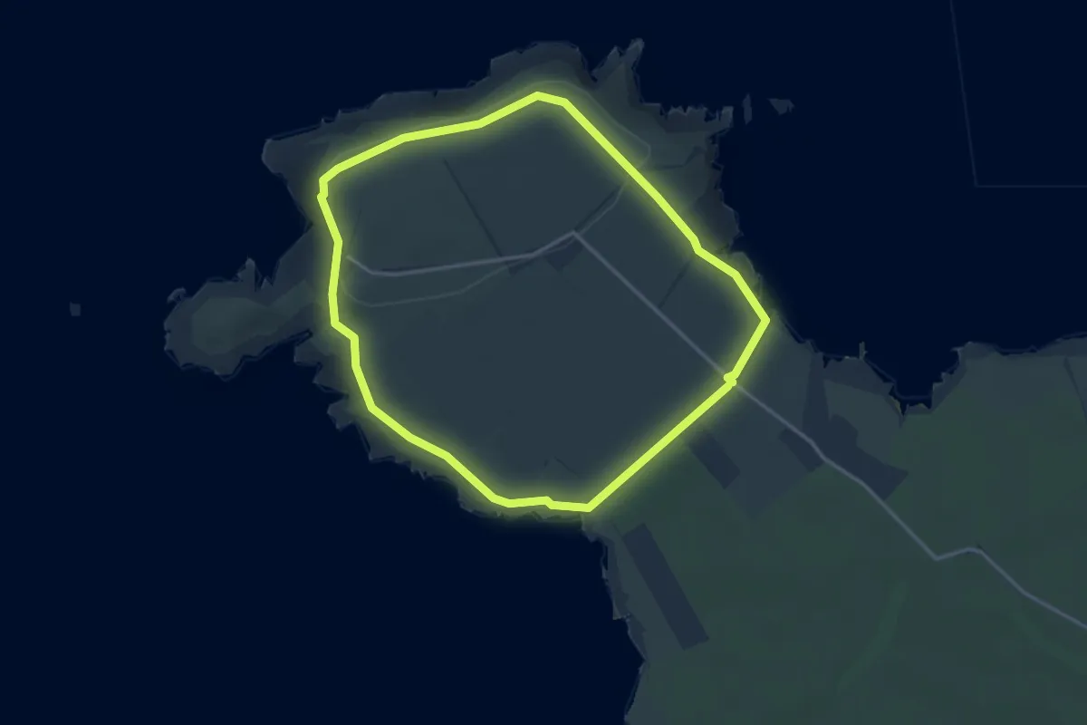
Trevose Head circular walk, North Cornwall
3.1 km · ↑ 66 m · 54 min
Easy · Trail
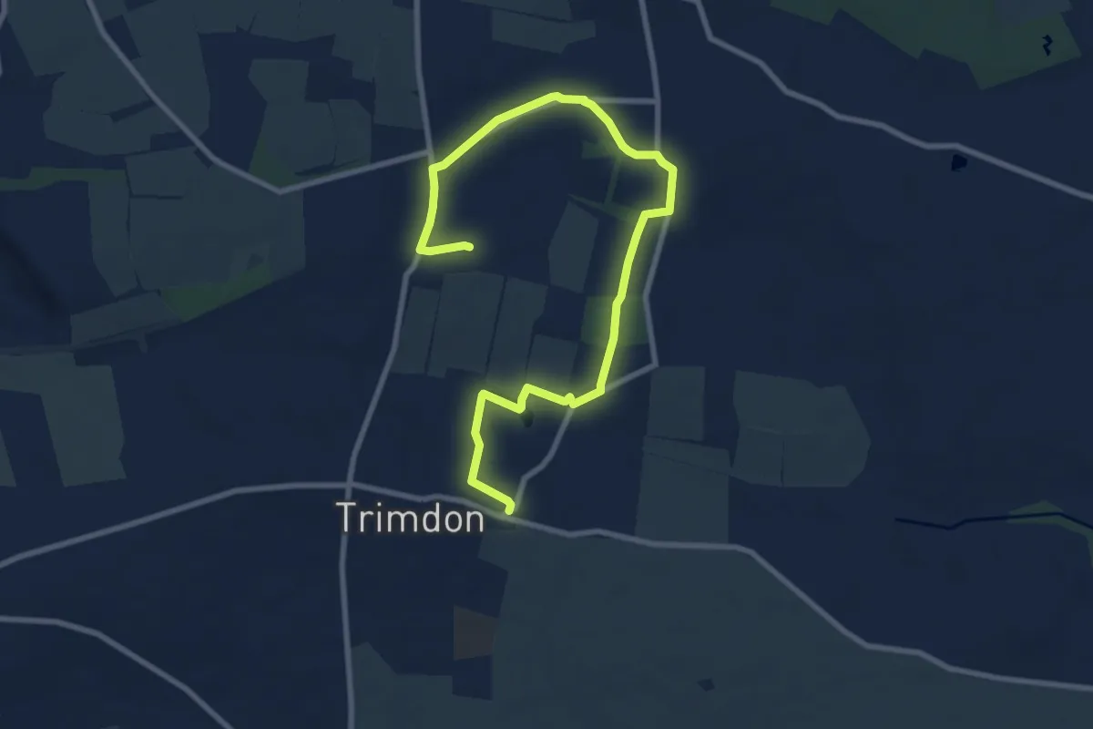
Trimdon Parish Circular Walk
4.5 km · ↑ 42 m · 1 h 12 min