Trails in United Kingdom
3,857 hiking trails, each with its route, climb, walking time and grade.
All trails, page 72 of 81
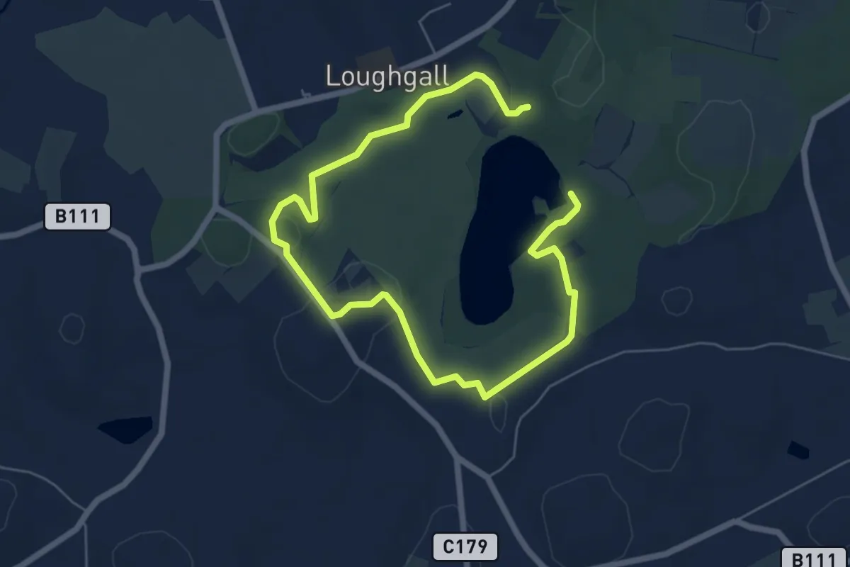
Easy · Trail
Trim Trail
7.3 km · ↑ 63 m · 1 h 52 min
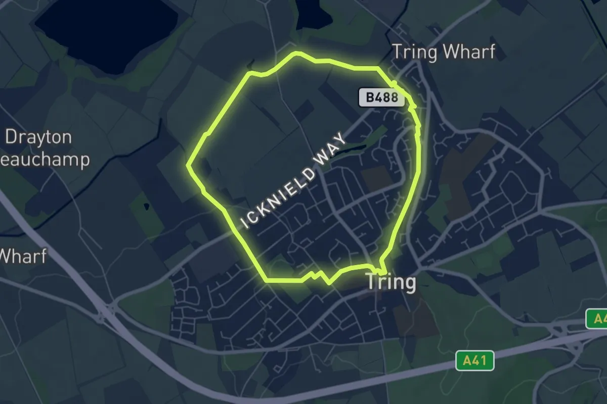
Easy · Trail
Tring Parish Walks: 1- Little Tring
5.1 km · ↑ 38 m · 1 h 22 min
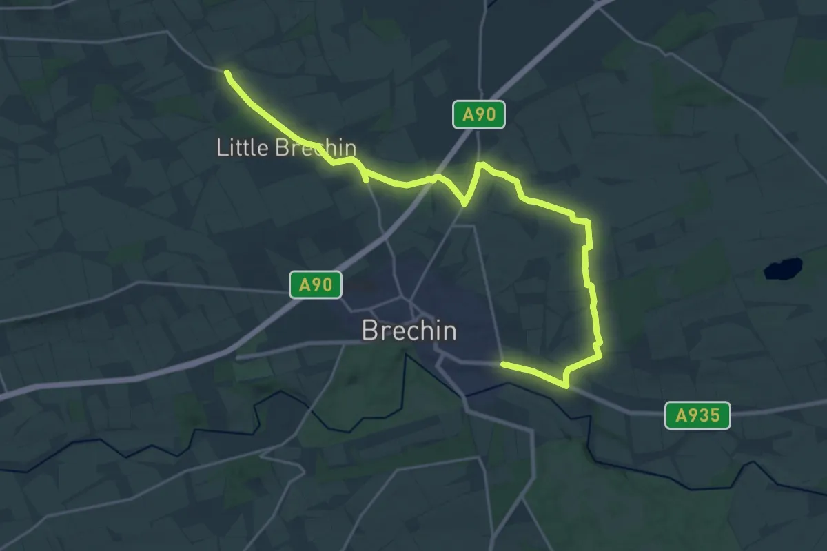
Demanding · Trail
Trinity Circuit
20.2 km · ↑ 96 m · 4 h 58 min
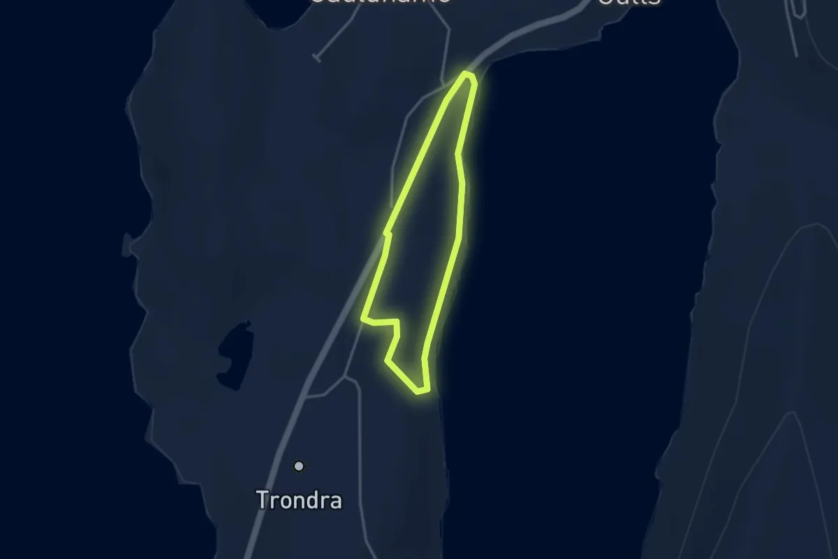
Easy · Trail
Trondra Hall to Trondra Bridge
2.0 km · ↑ 43 m · 36 min
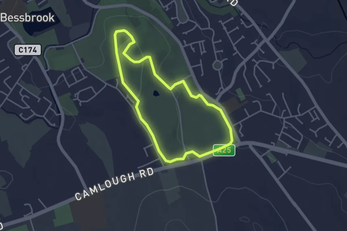
Easy · Trail
Trust10
2.6 km · ↑ 46 m · 44 min
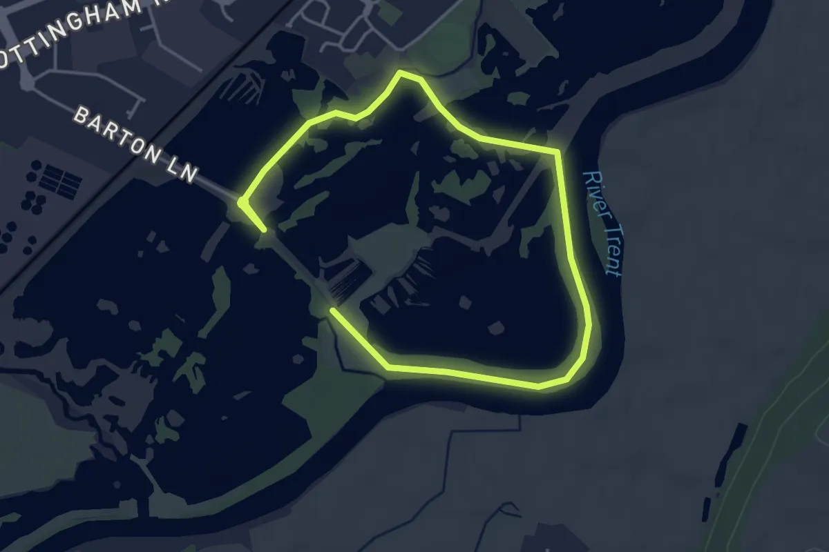
Easy · Trail
Tufted Duck Route
5.4 km · ↑ 0 m · 1 h 16 min
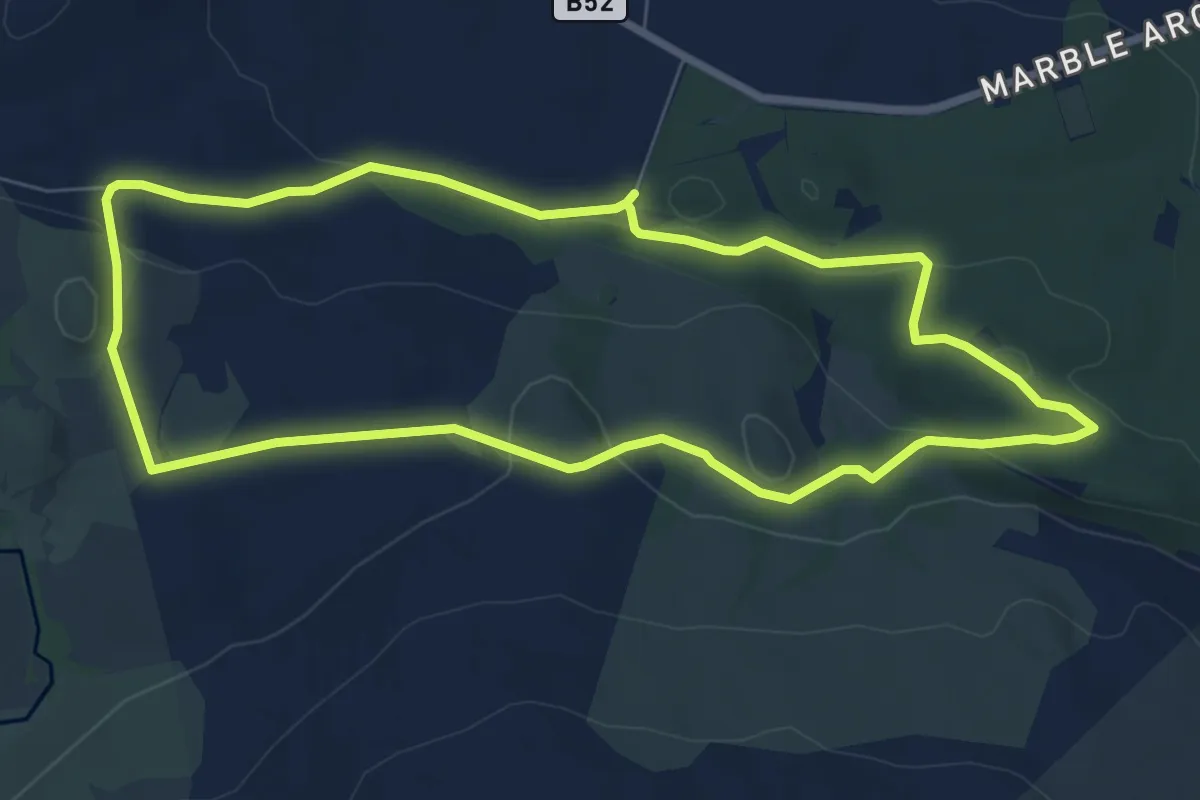
Easy · Summit
Tullyhona - brookfield loop
6.4 km · ↑ 154 m · 1 h 57 min
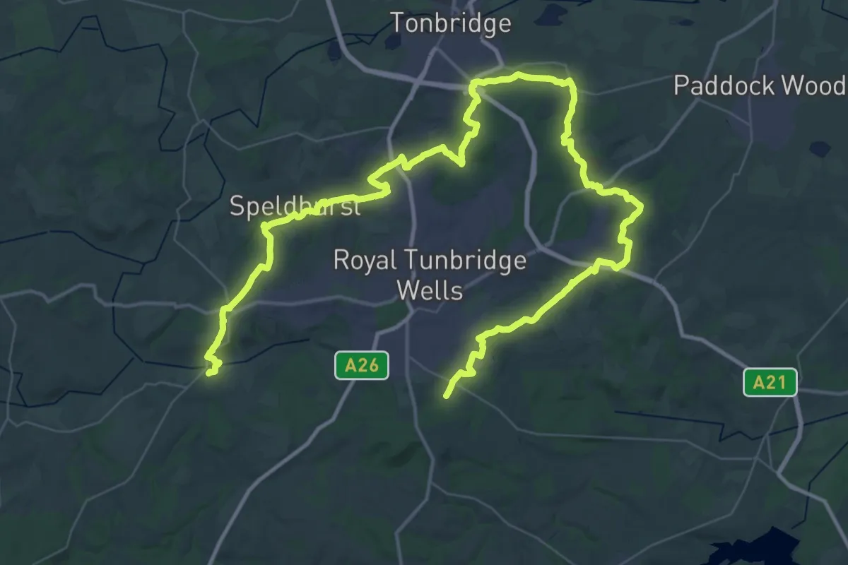
Demanding · Trail
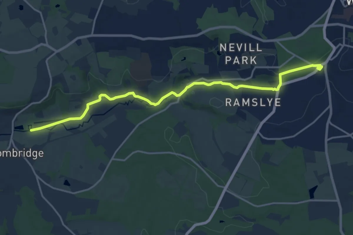
Tunbridge Wells Circular Walk
32.1 km · ↑ 551 m · 9 h 15 min
Medium · Trail
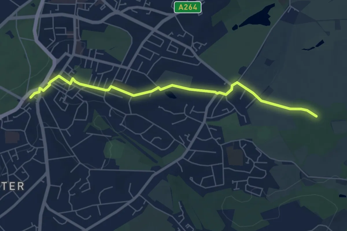
Tunbridge Wells Circular Walk (Groombridge Link)
11.4 km · ↑ 99 m · 2 h 55 min
Easy · Trail
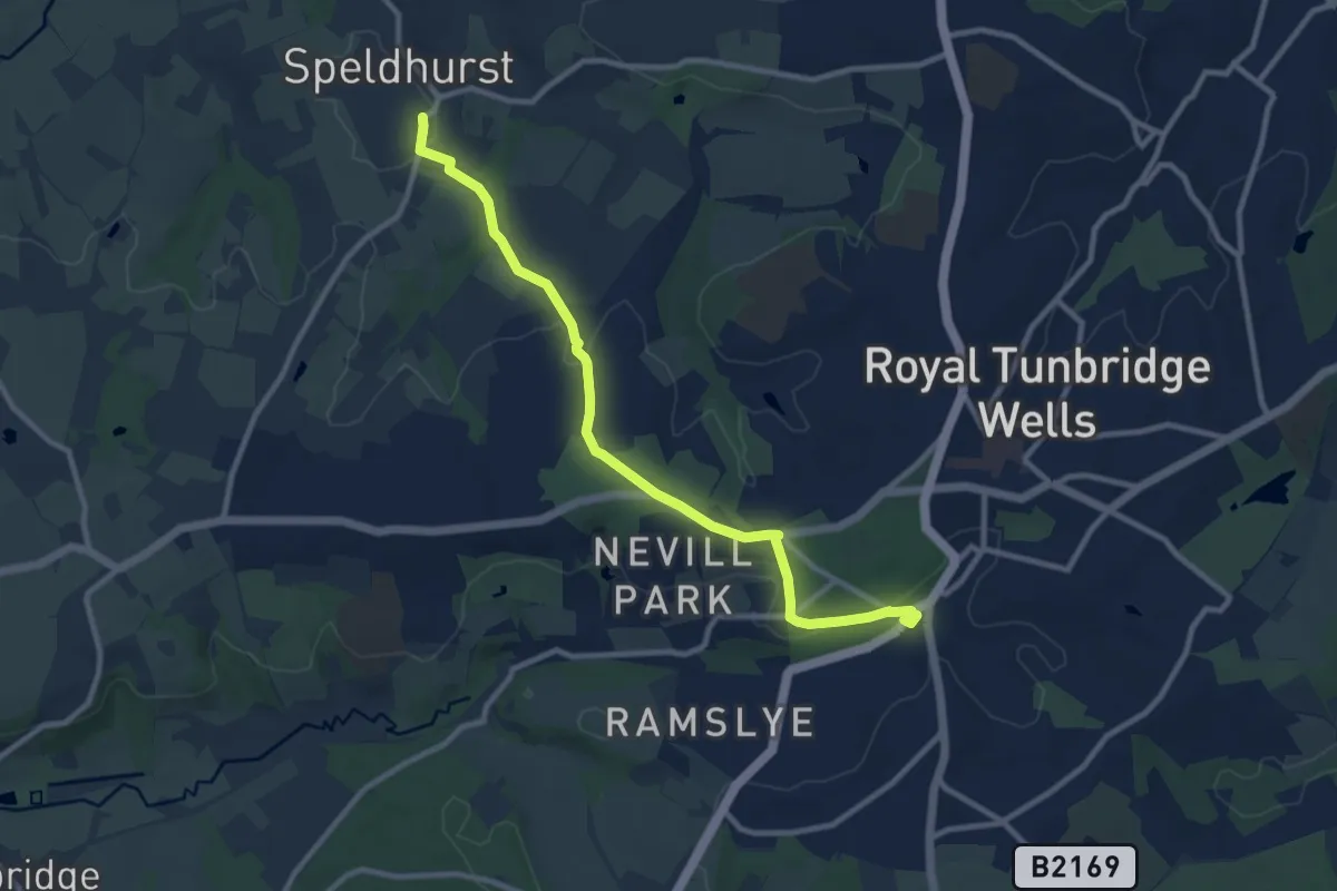
Tunbridge Wells Circular Walk (Hawkenbury Link)
5.6 km · ↑ 72 m · 1 h 28 min
Medium · Trail
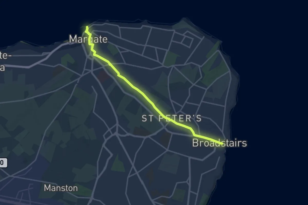
Tunbridge Wells Circular Walk (Speldhurst Link)
9.4 km · ↑ 159 m · 2 h 34 min
Medium · Trail
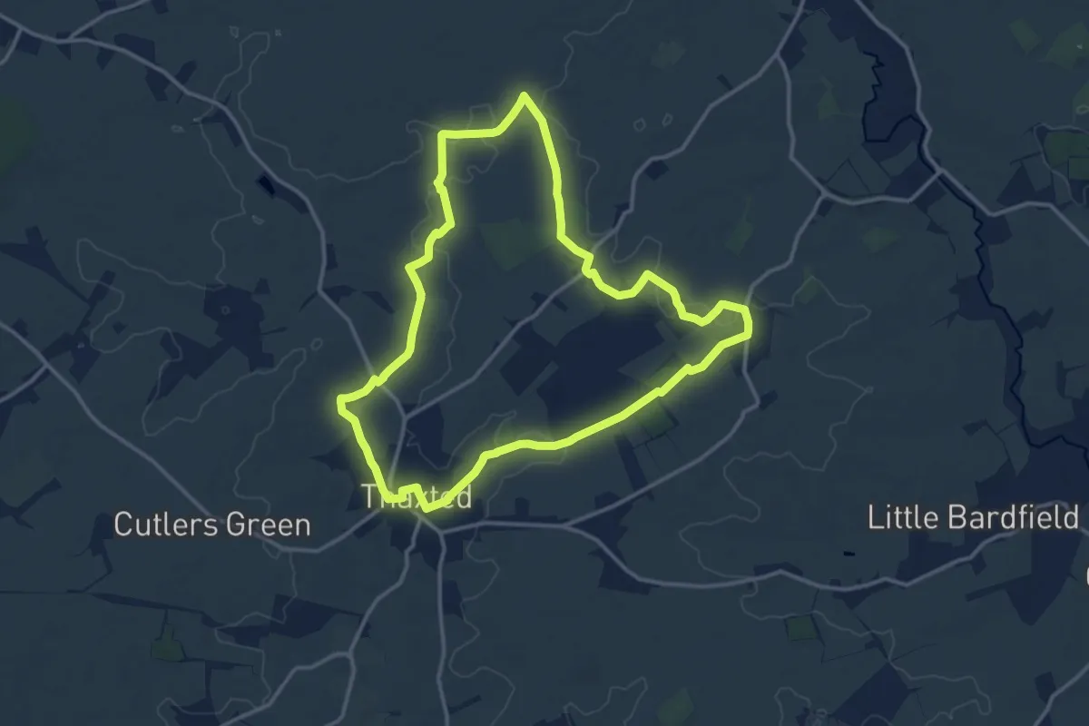
Turner & Dickens Walk
12.4 km · ↑ 65 m · 3 h 4 min
Medium · Trail
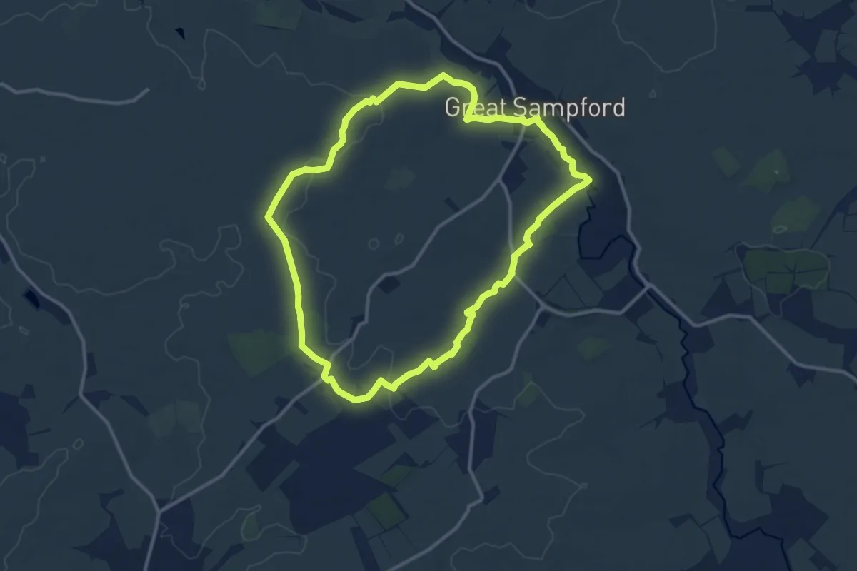
Turpin's Trail 1
12.0 km · ↑ 61 m · 3 h 7 min
Medium · Trail
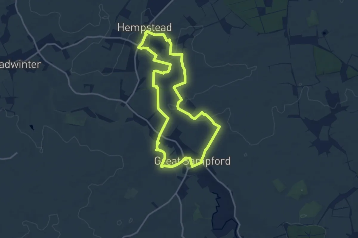
Turpin's Trail 2
9.9 km · ↑ 39 m · 2 h 33 min
Medium · Trail
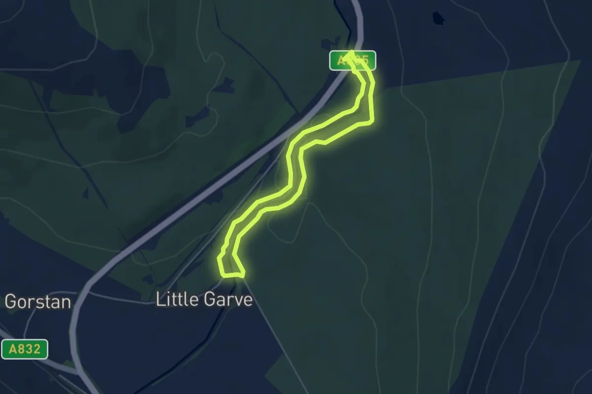
Turpin's Trail 3
9.3 km · ↑ 76 m · 2 h 30 min
Easy · Trail
Two Bridges Trail
3.2 km · ↑ 31 m · 51 min
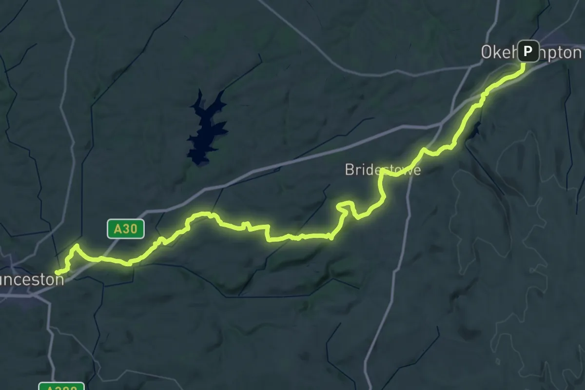
Demanding · Trail
Two Castles Trail
36.0 km · ↑ 666 m · 10 h 30 min
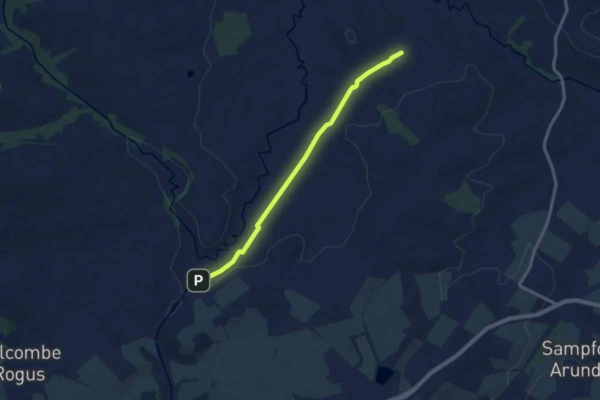
Easy · Trail
Two Counties Way
5.8 km · ↑ 12 m · 1 h 23 min
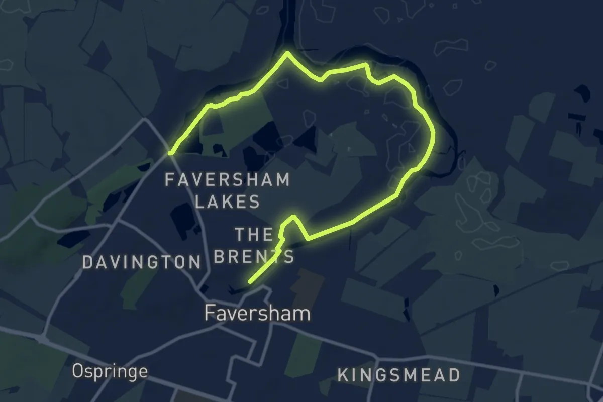
Medium · Trail
Two Creeks Circular Walk
11.3 km · ↑ 0 m · 2 h 40 min
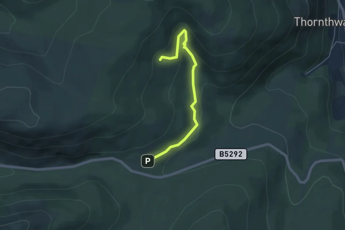
Easy · Trail
Two Gills Trail
3.3 km · ↑ 180 m · 1 h 11 min
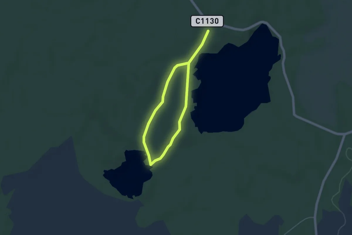
Easy · Trail
Two Lochs trail
4.7 km · ↑ 64 m · 1 h 14 min
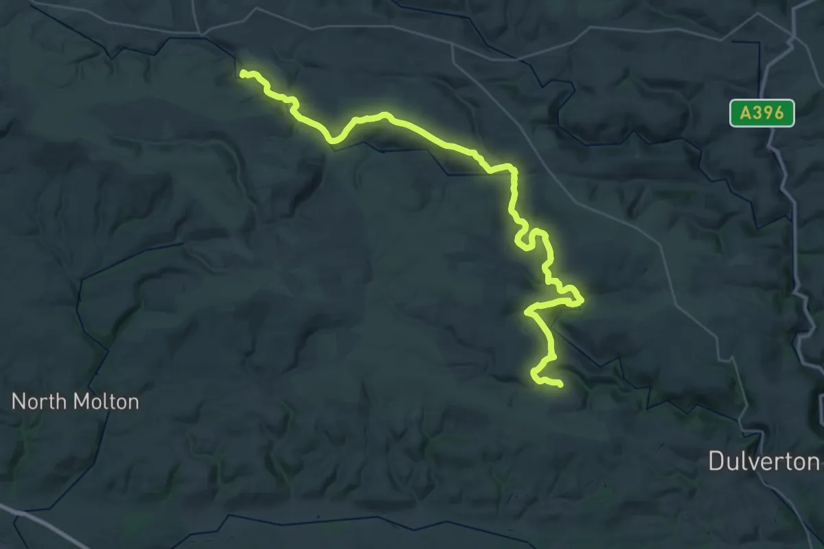
Demanding · Summit
Two Moors Way
38.8 km · ↑ 824 m · 10 h 56 min
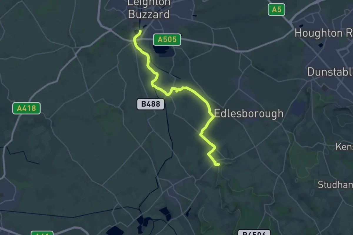
Demanding · Summit
Two Ridges Link
23.9 km · ↑ 160 m · 6 h
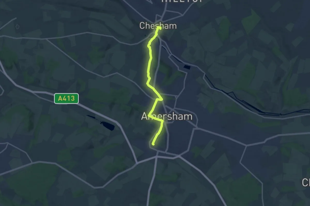
Medium · Trail
Two Rivers Walk
11.0 km · ↑ 139 m · 2 h 54 min
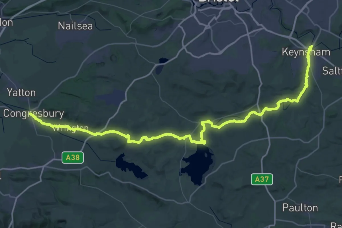
Demanding · Trail
Two Rivers Way
33.3 km · ↑ 311 m · 8 h 59 min
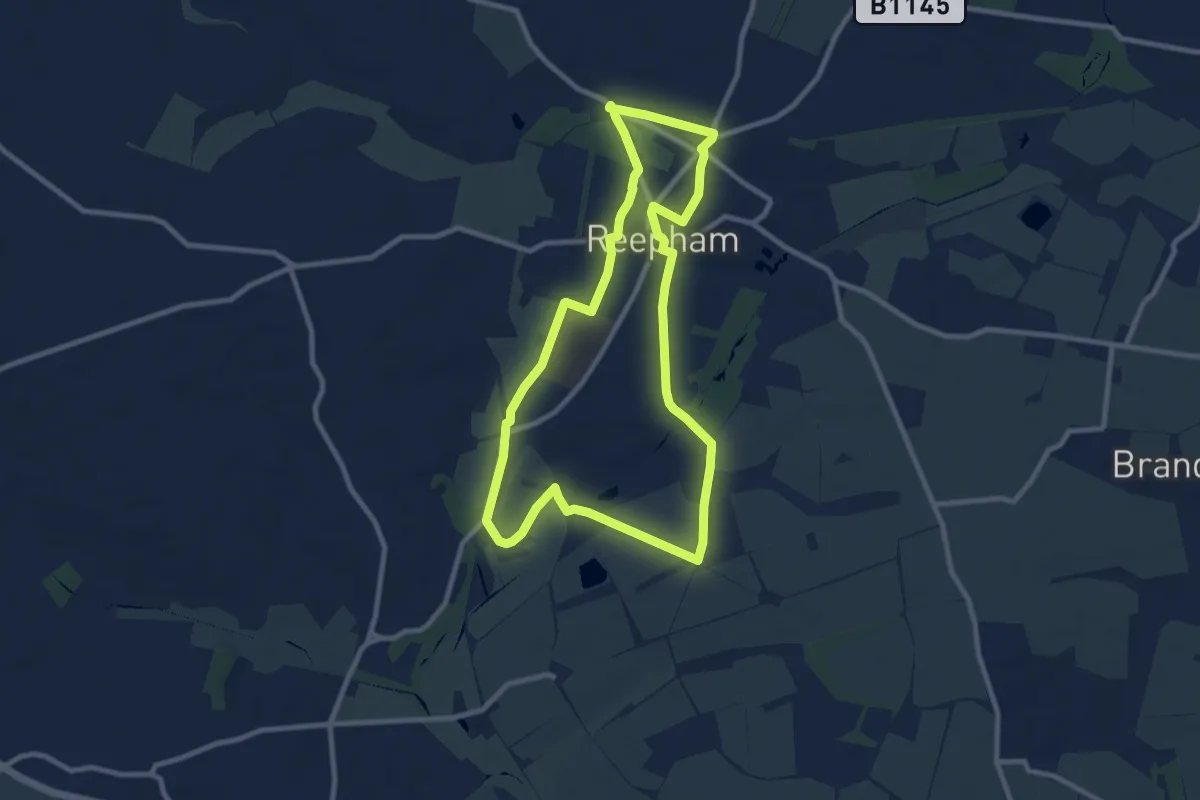
Medium · Trail
Two Stations
8.2 km · ↑ 40 m · 2 h 8 min
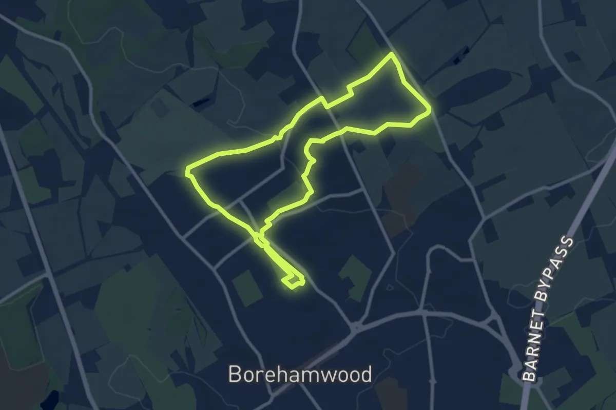
Easy · Trail
Tykes Water & Beyond
7.0 km · ↑ 57 m · 1 h 52 min
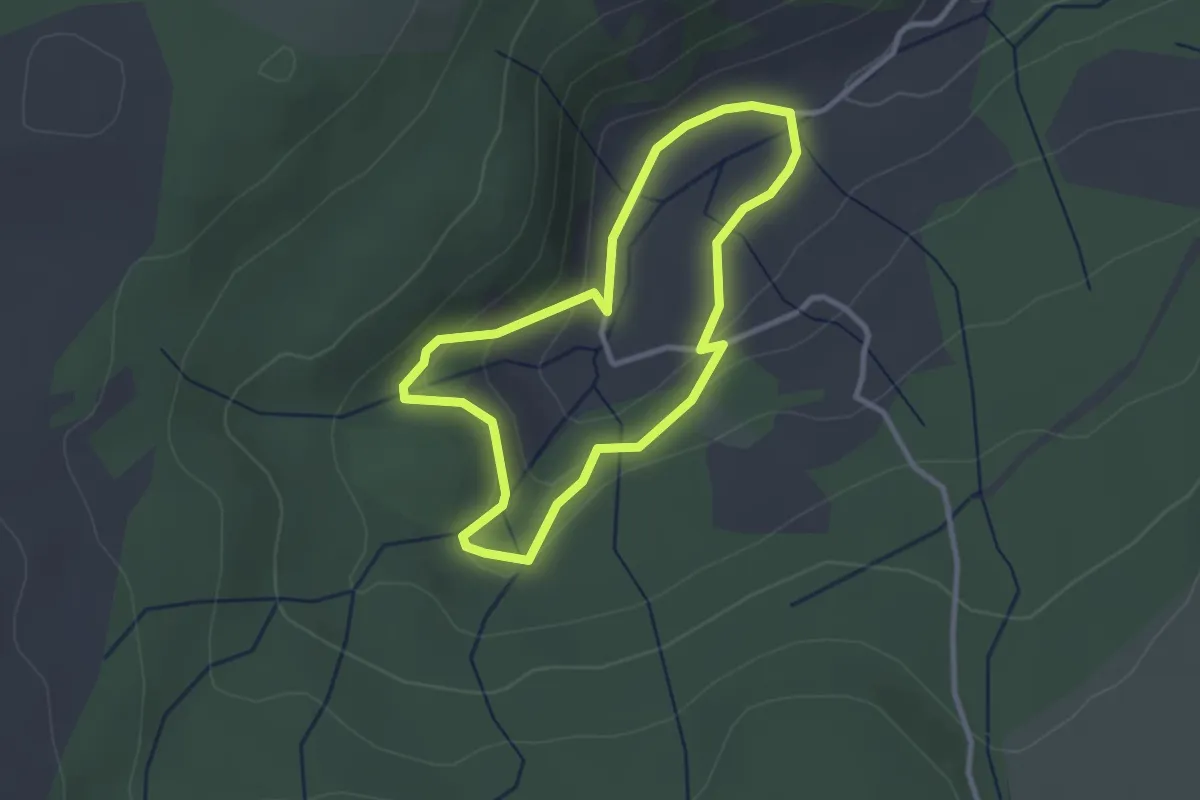
Easy · Trail
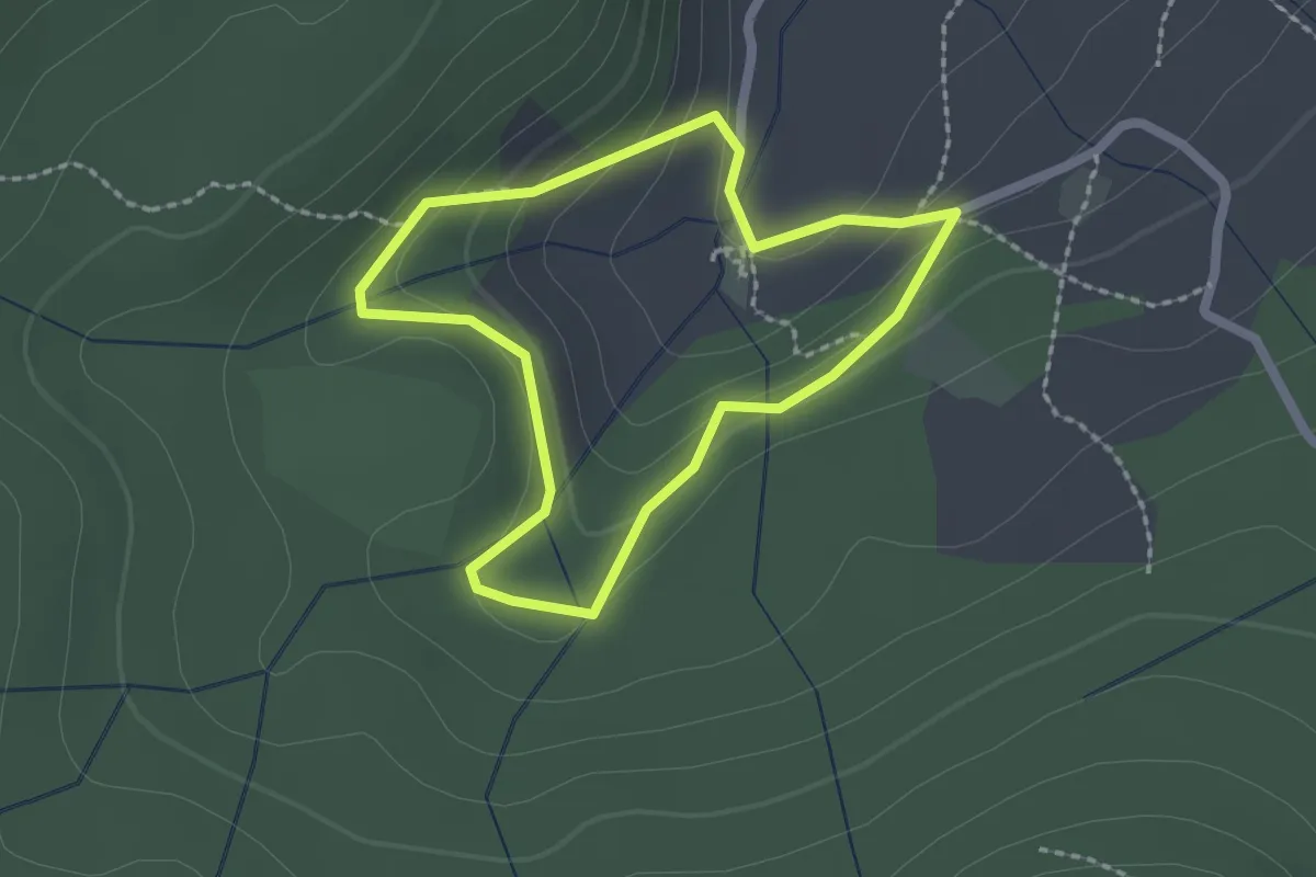
Tŷ Mawr Wybrnant and Cwm Wybrnant walk (Extended), Ysbyty
2.3 km · ↑ 85 m · 45 min
Easy · Trail
Tŷ Mawr Wybrnant and Cwm Wybrnant walk, Ysbyty
1.6 km · ↑ 67 m · 32 min
Medium · Trail
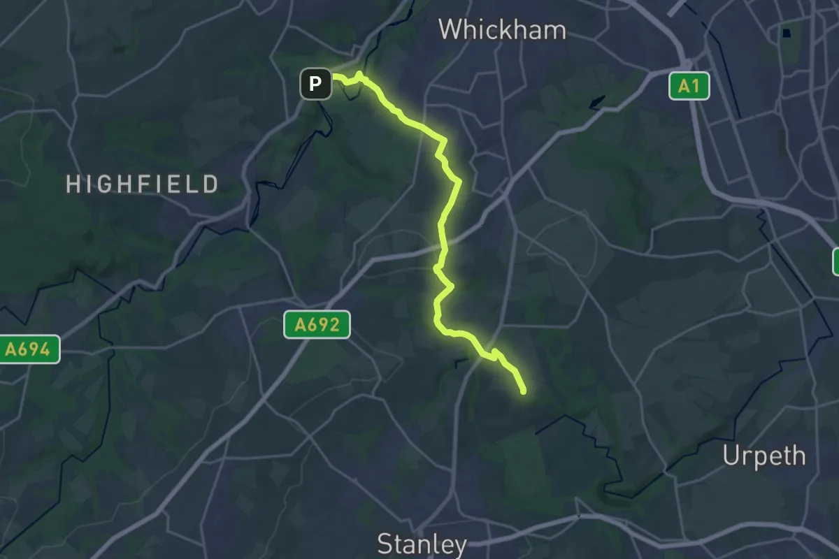
Tyne and Wear Heritage Way Section 6
16.2 km · ↑ 357 m · 4 h 36 min
Demanding · Trail
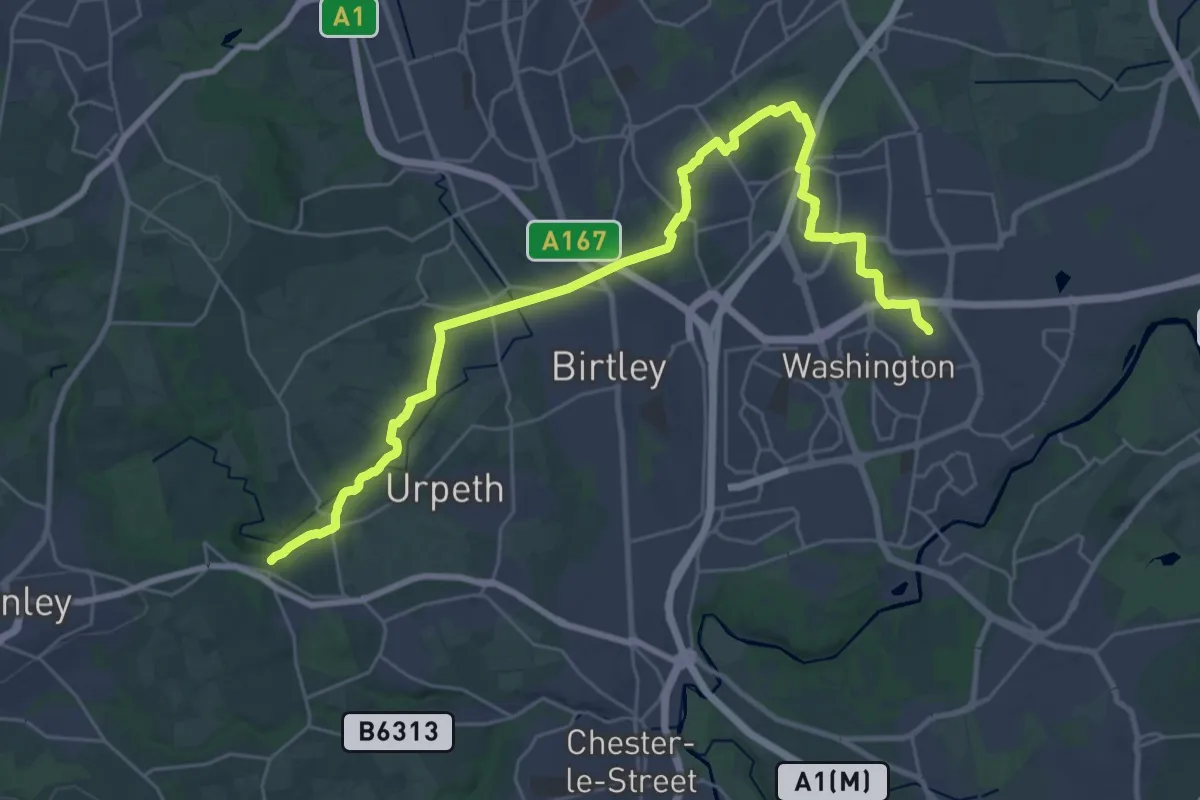
Tyne and Wear Heritage Way Section 7
29.5 km · ↑ 417 m · 7 h 52 min
Easy · Trail
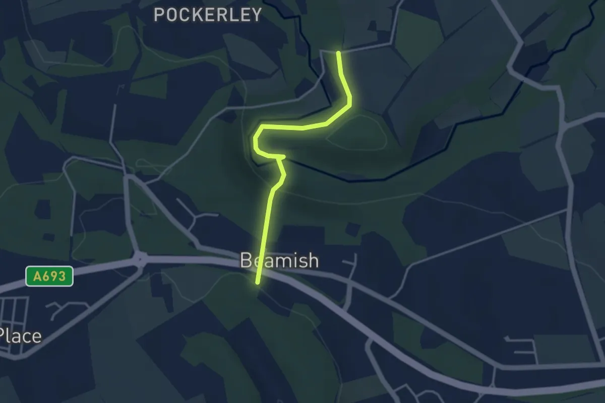
Tyne-Wear Trail
2.5 km · ↑ 106 m · 49 min
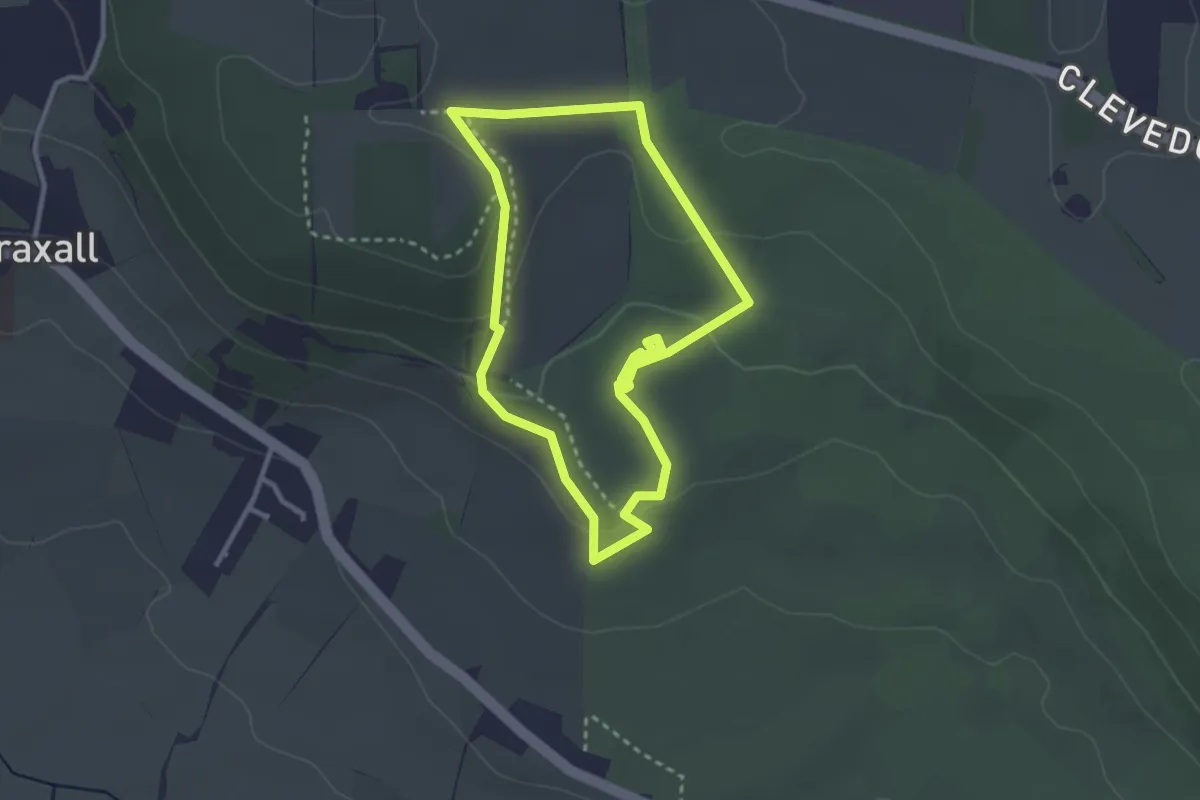
Easy · Trail
Tyntesfield Sidelands Walk, Tyntesfield
2.6 km · ↑ 66 m · 48 min
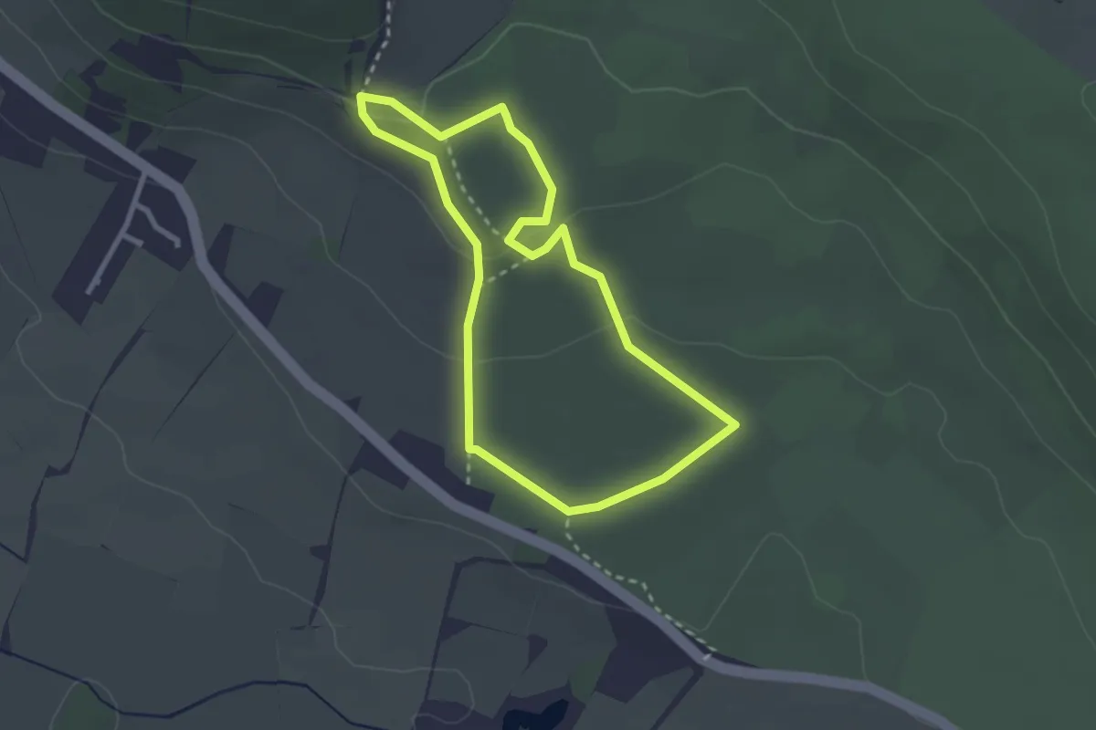
Easy · Trail
Tyntesfield Tynings Walk, Tyntesfield
2.3 km · ↑ 46 m · 41 min
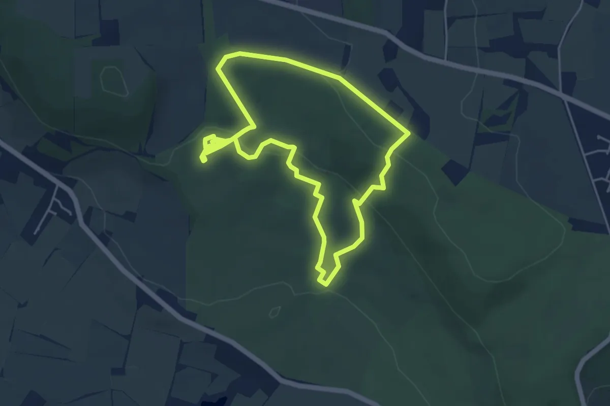
Easy · Trail
Tyntesfield Woodland Walk (Long Route), Tyntesfield
3.9 km · ↑ 103 m · 1 h 11 min
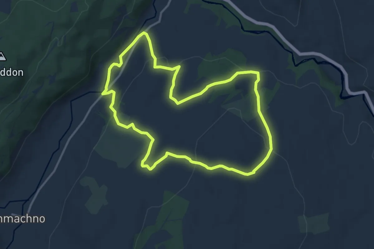
Easy · Trail
Ty'n y Coed Uchaf and Cwm Eidda walk, Ysbyty
7.9 km · ↑ 238 m · 2 h 30 min
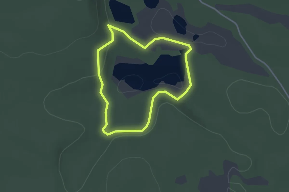
Easy · Trail
Uath Lochans Trail
2.0 km · ↑ 33 m · 33 min
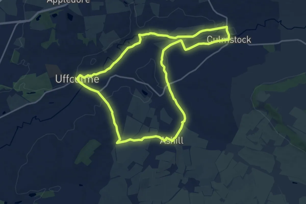
Medium · Trail
Uffculme Village Trail
11.2 km · ↑ 92 m · 2 h 59 min
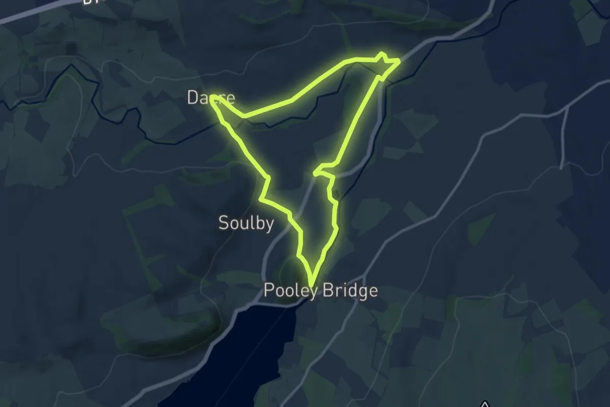
Easy · Summit
Ullswater Way - Dalemain Loop
8.0 km · ↑ 122 m · 2 h 16 min
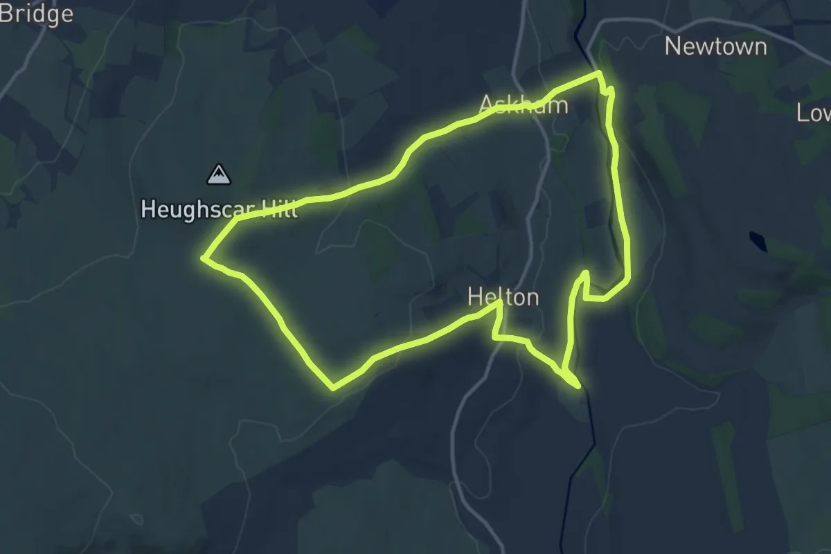
Medium · Trail
Ullswater Way - Lowther Castle Loop
11.1 km · ↑ 227 m · 3 h 15 min
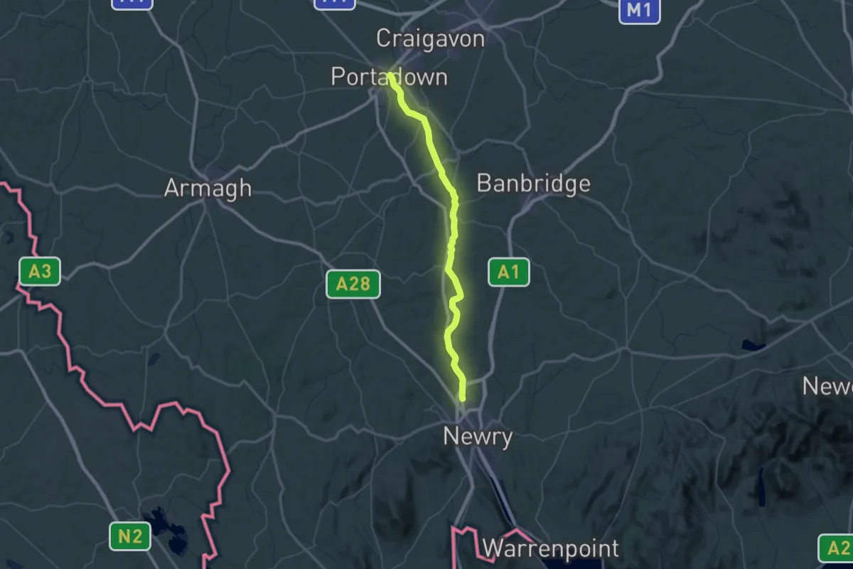
Demanding · Trail
Ulster Way (Newry Canal section)
28.1 km · ↑ 48 m · 7 h 7 min
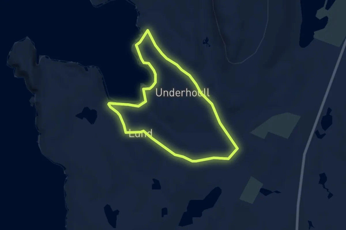
Easy · Trail
Underhoull Cirular
5.3 km · ↑ 146 m · 1 h 39 min
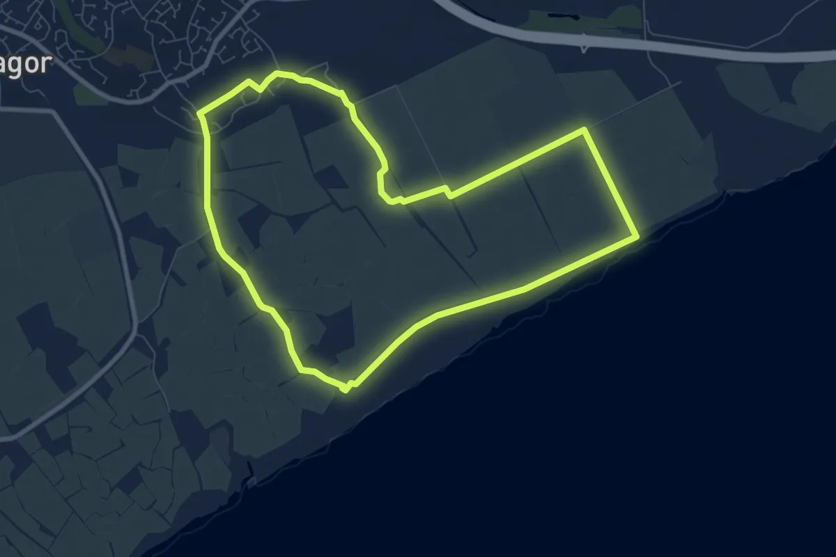
Easy · Trail
Undy & Caldicot Moor Loop
7.4 km · ↑ 4 m · 1 h 51 min
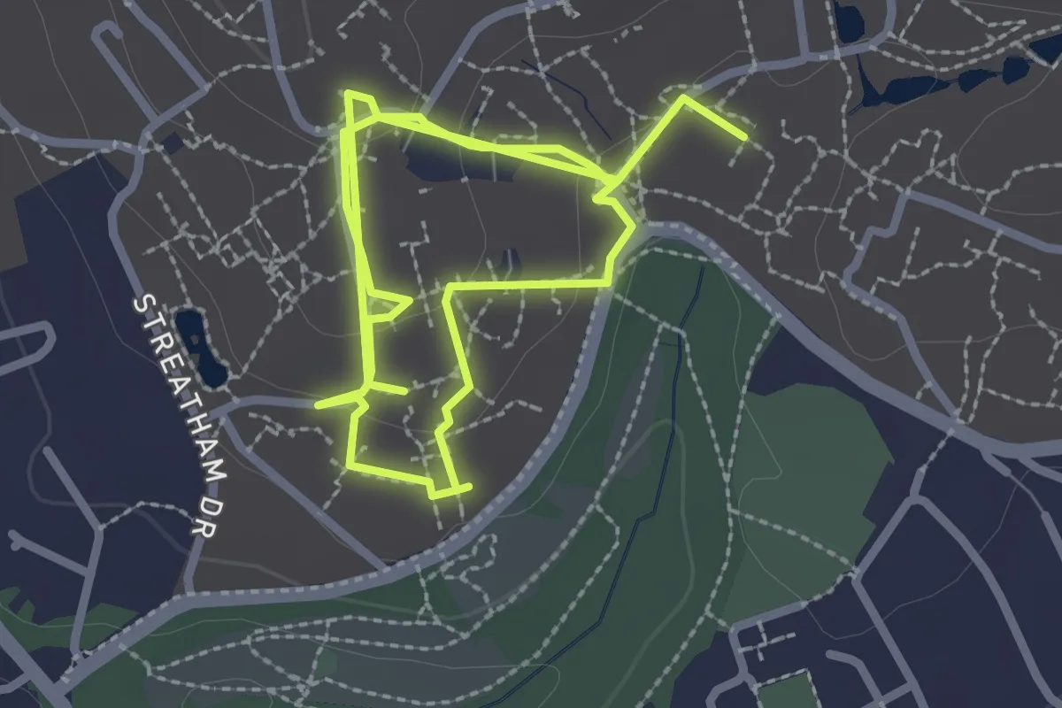
Easy · Trail
University Sculpture Walk
4.2 km · ↑ 104 m · 1 h 14 min
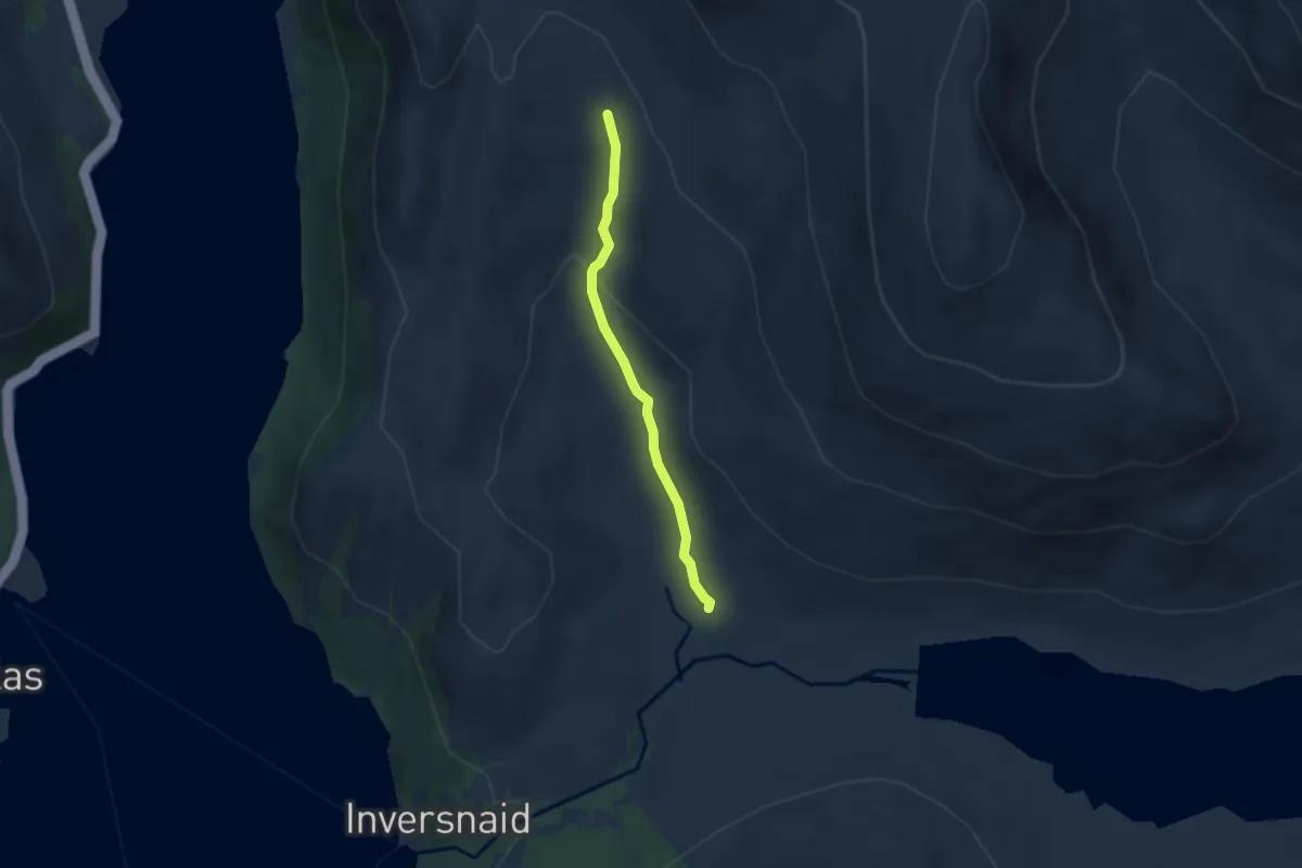
Easy · Trail
Upland Trail
4.0 km · ↑ 149 m · 1 h 15 min
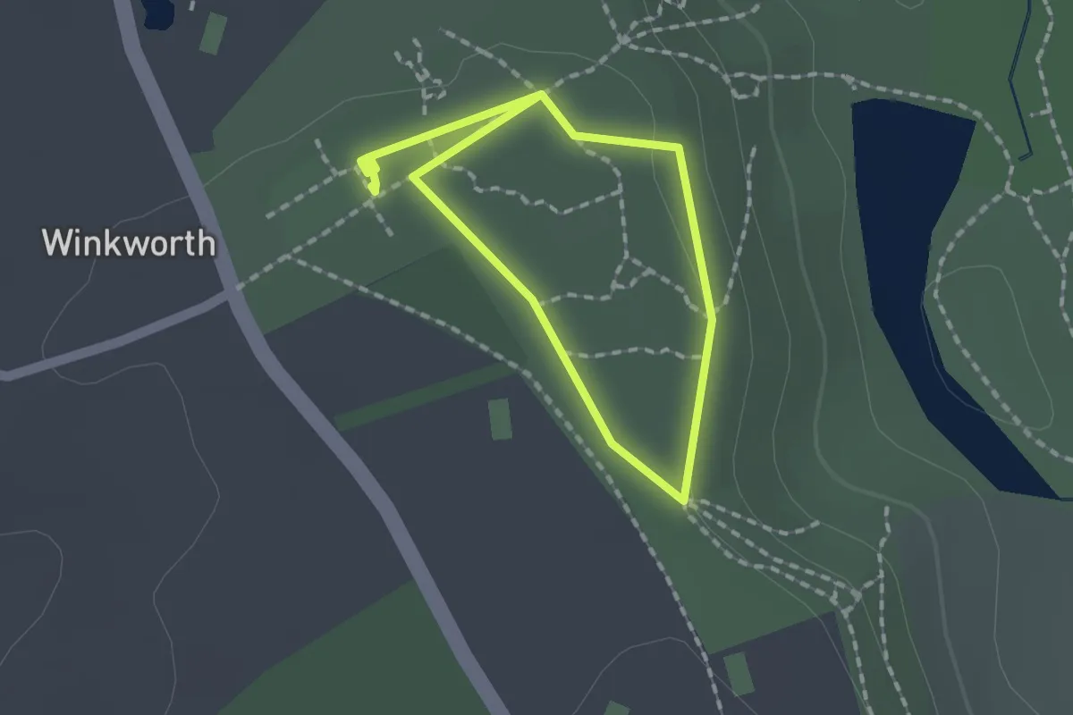
Easy · Trail
Upper Arboretum Route, Winkworth
1.1 km · ↑ 21 m · 20 min
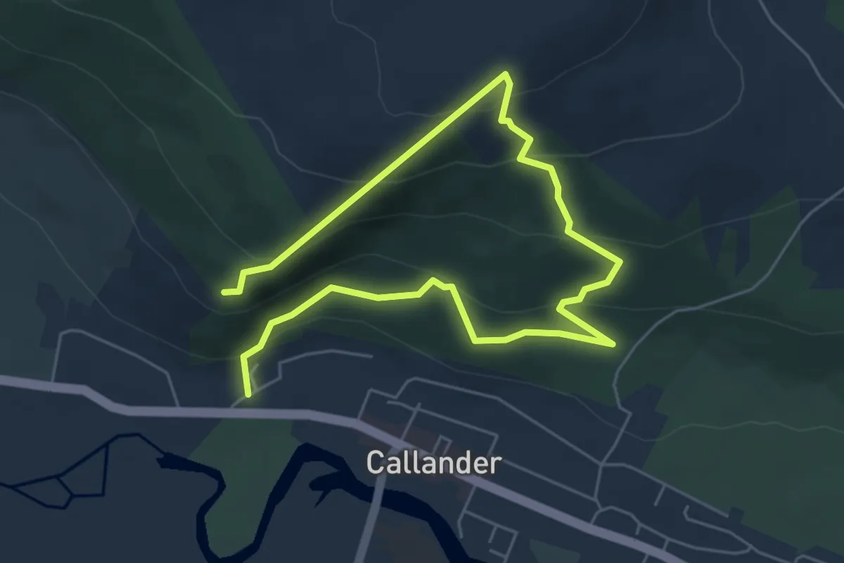
Medium · Trail
Upper Crags
6.5 km · ↑ 493 m · 2 h 37 min
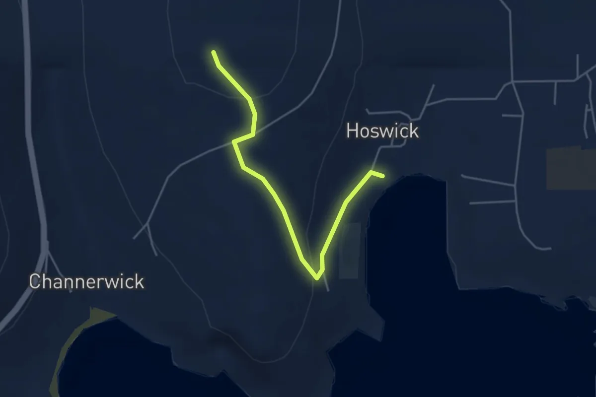
Easy · Trail
Upper Hoswick
3.0 km · ↑ 83 m · 53 min