Trails in United Kingdom
3,857 hiking trails, each with its route, climb, walking time and grade.
All trails, page 73 of 81
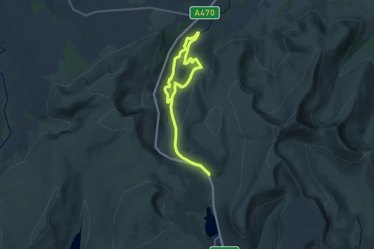
Medium · Trail
Upper Tarell Valley Walk, East Wales
9.0 km · ↑ 322 m · 2 h 52 min
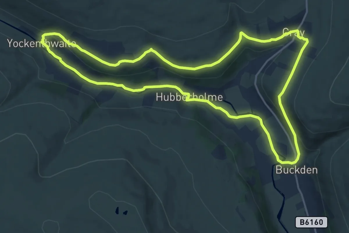
Medium · Trail
Upper Wharfdale Ranger Run, Upper Wharfdale
11.2 km · ↑ 198 m · 3 h 14 min
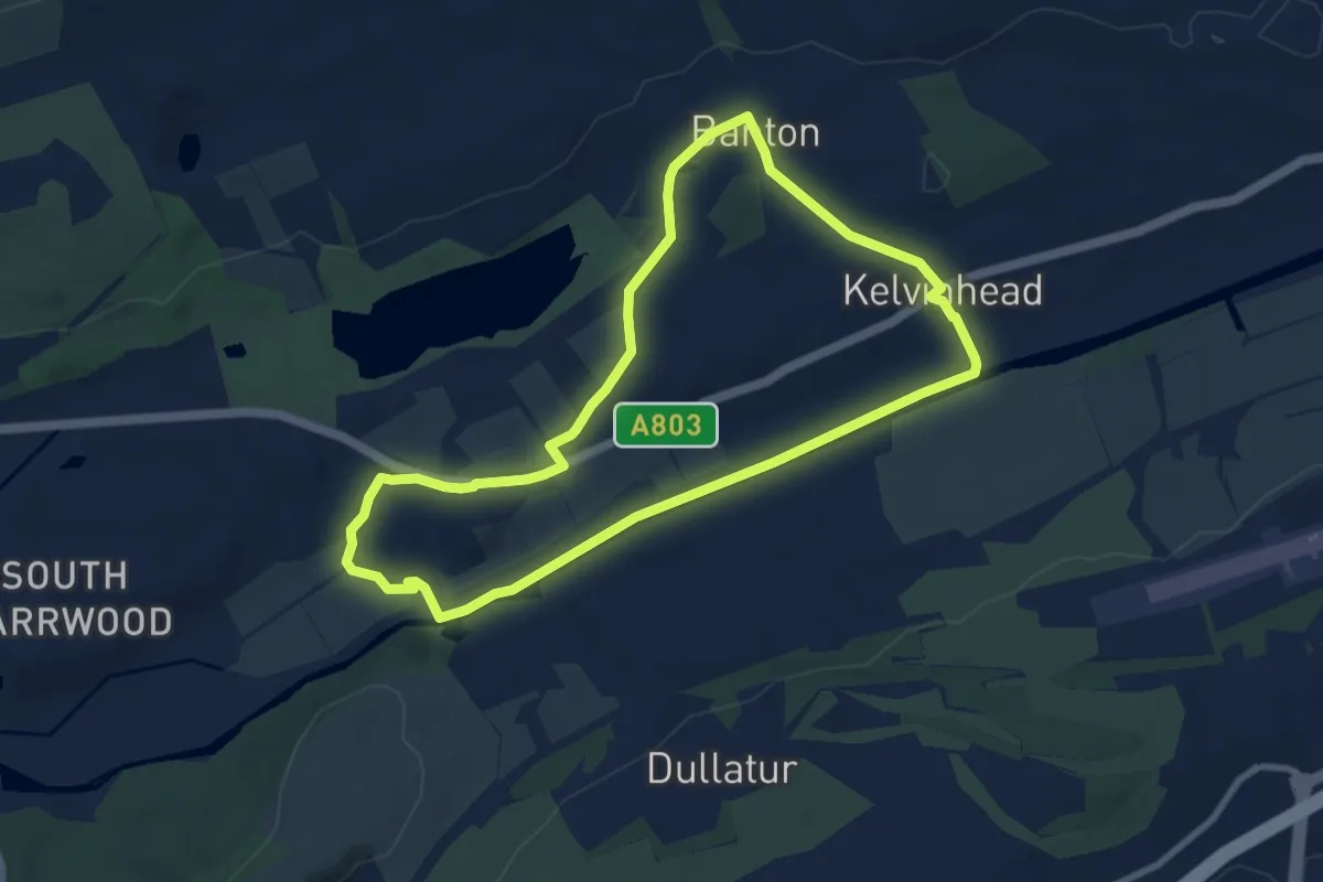
Easy · Trail
Up the Hill To Banton
6.8 km · ↑ 51 m · 1 h 49 min
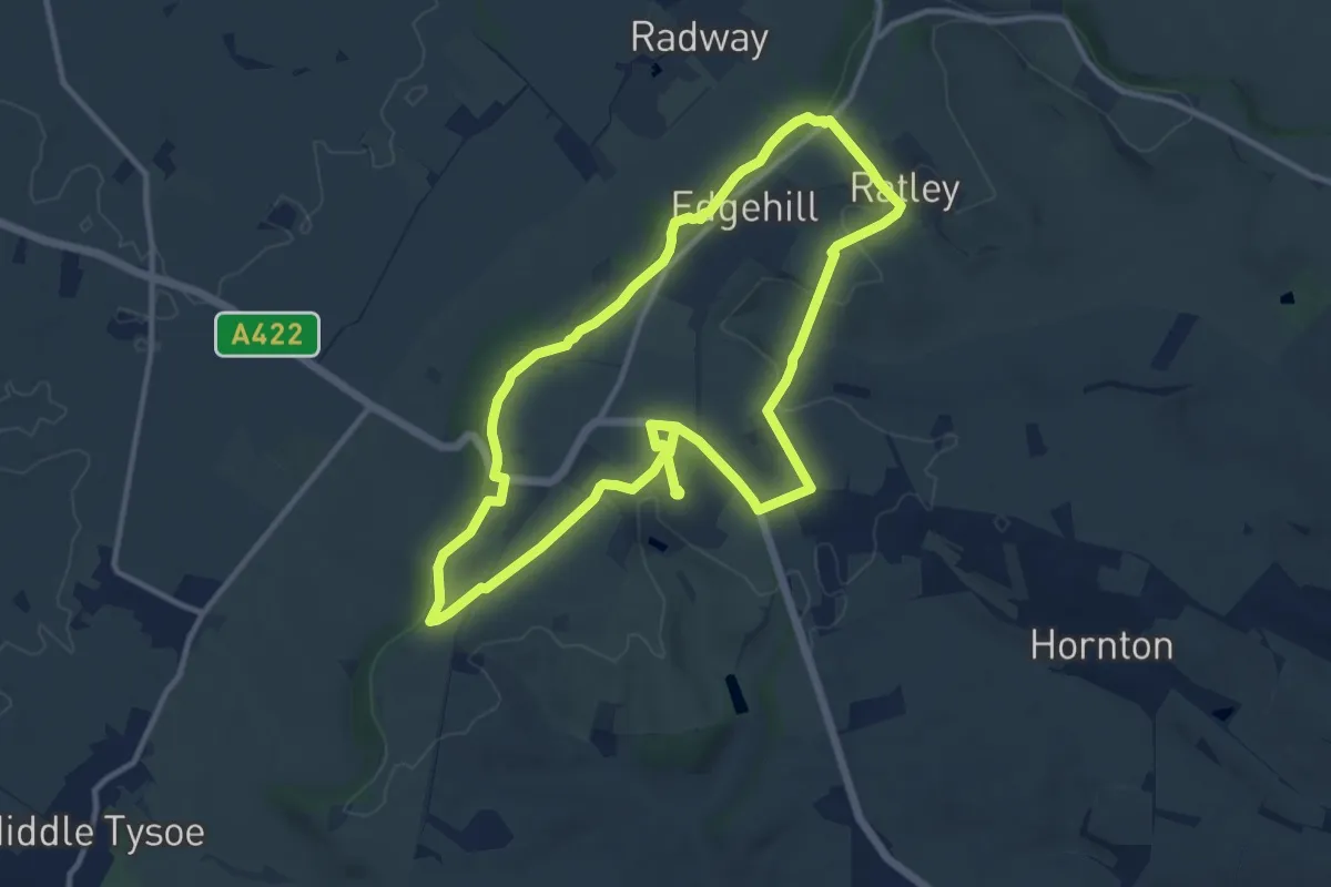
Medium · Trail
Upton House Ley Line Walk, Upton House and Gardens
9.9 km · ↑ 134 m · 2 h 46 min
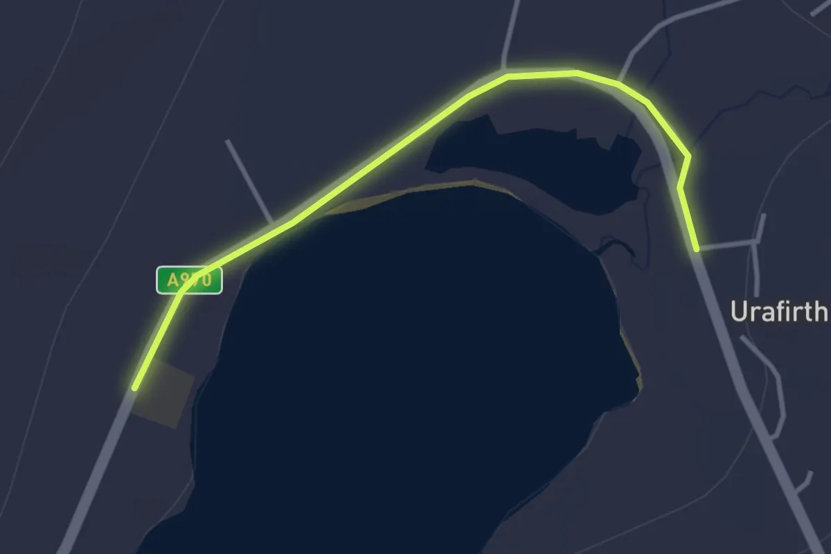
Easy · Trail
Urafirth
2.4 km · ↑ 5 m · 34 min
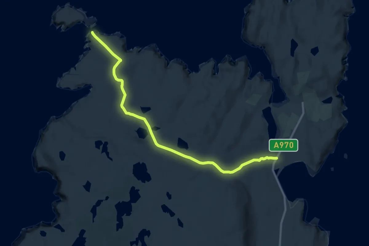
Medium · Trail
Uyea
13.9 km · ↑ 314 m · 3 h 57 min
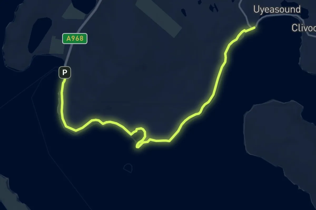
Medium · Trail
Uyeasound to Ferry Terminal
10.0 km · ↑ 16 m · 2 h 23 min
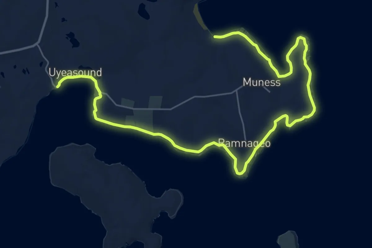
Demanding · Trail
Uyeasound to Muness
21.7 km · ↑ 119 m · 5 h 23 min
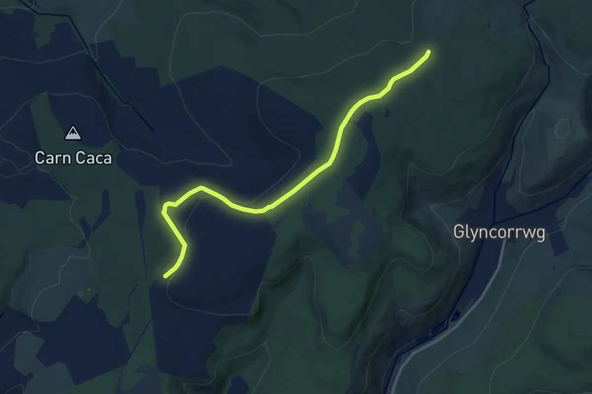
Medium · Trail
Vale of Neath Walk
9.3 km · ↑ 239 m · 2 h 43 min
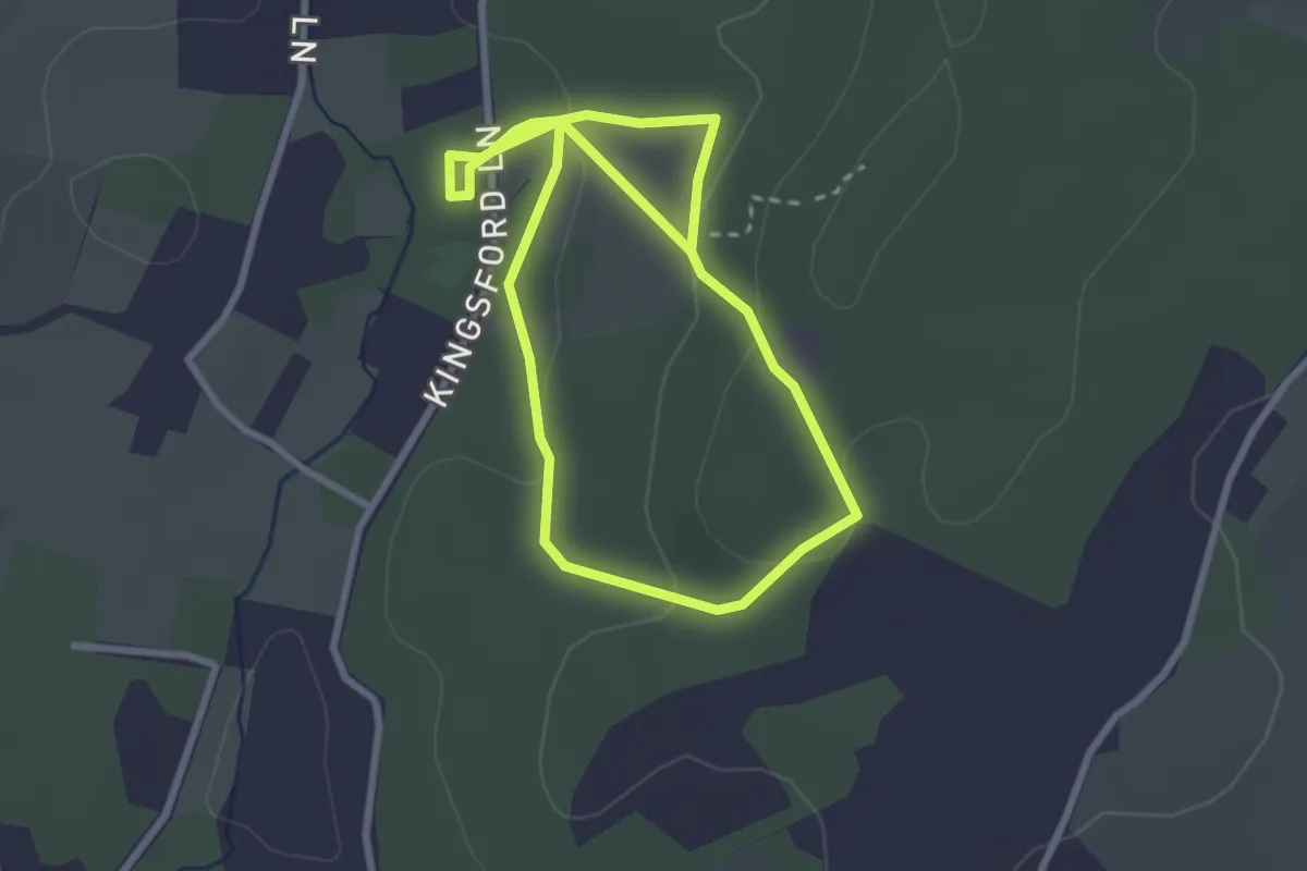
Easy · Trail
Vale's Rock Trail, Kinver Edge
2.4 km · ↑ 83 m · 46 min
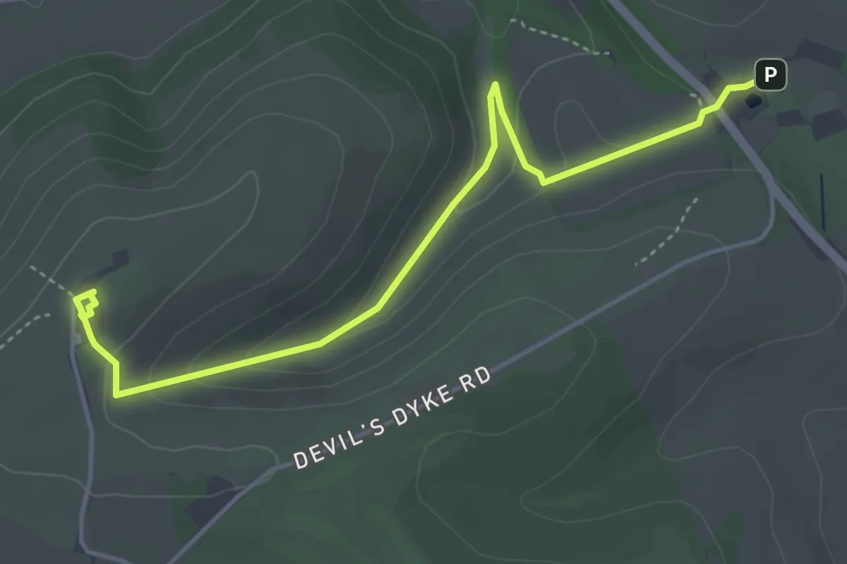
Easy · Trail
Valley Explorer Trail, Sussex East
4.4 km · ↑ 177 m · 1 h 25 min
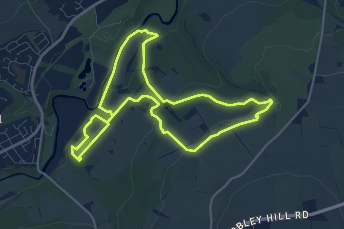
Easy · Trail
Valley Views Trail, Gibside
6.8 km · ↑ 145 m · 2 h 2 min
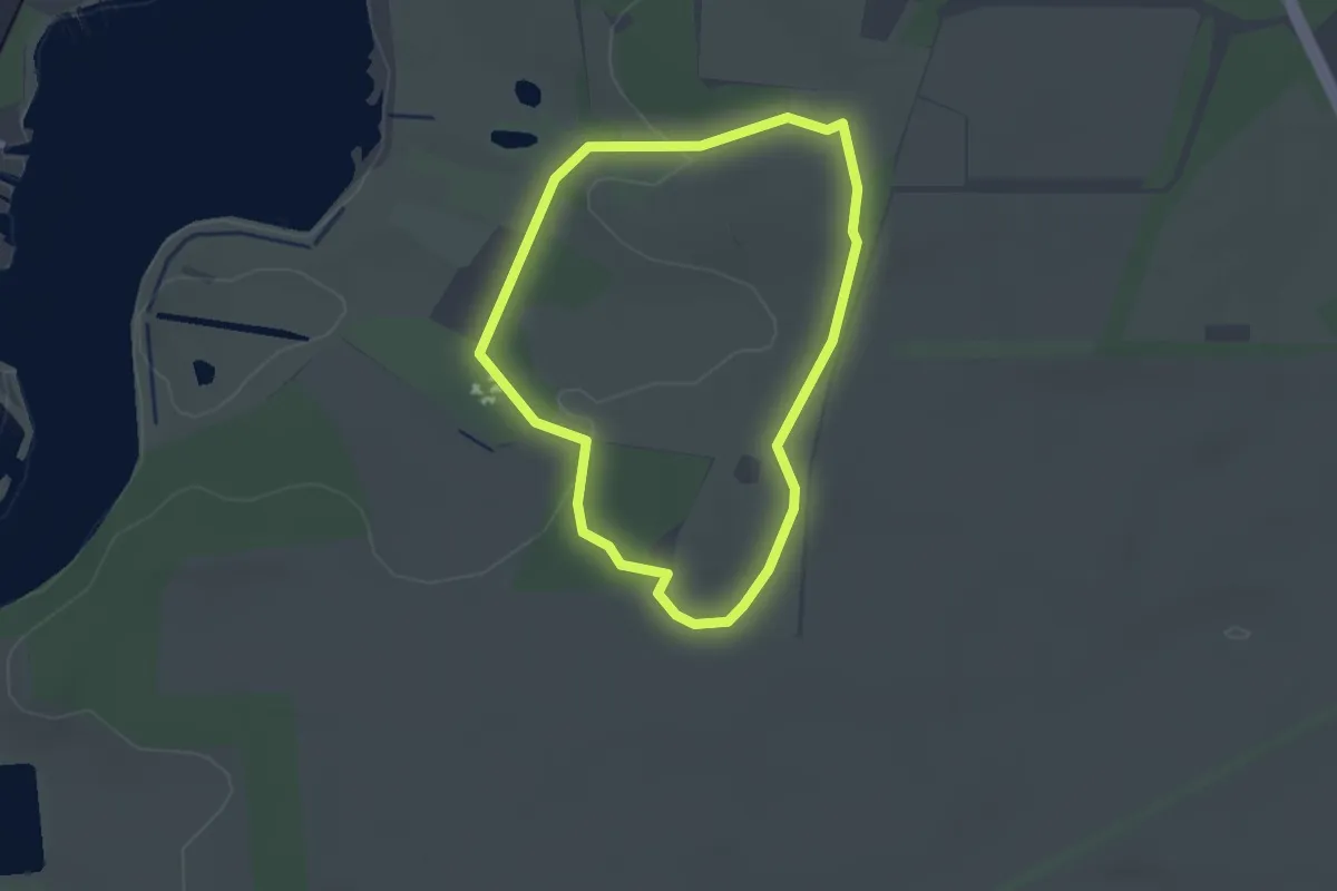
Easy · Trail
Valley Walk (Red Route), Sutton Hoo
2.0 km · ↑ 23 m · 32 min
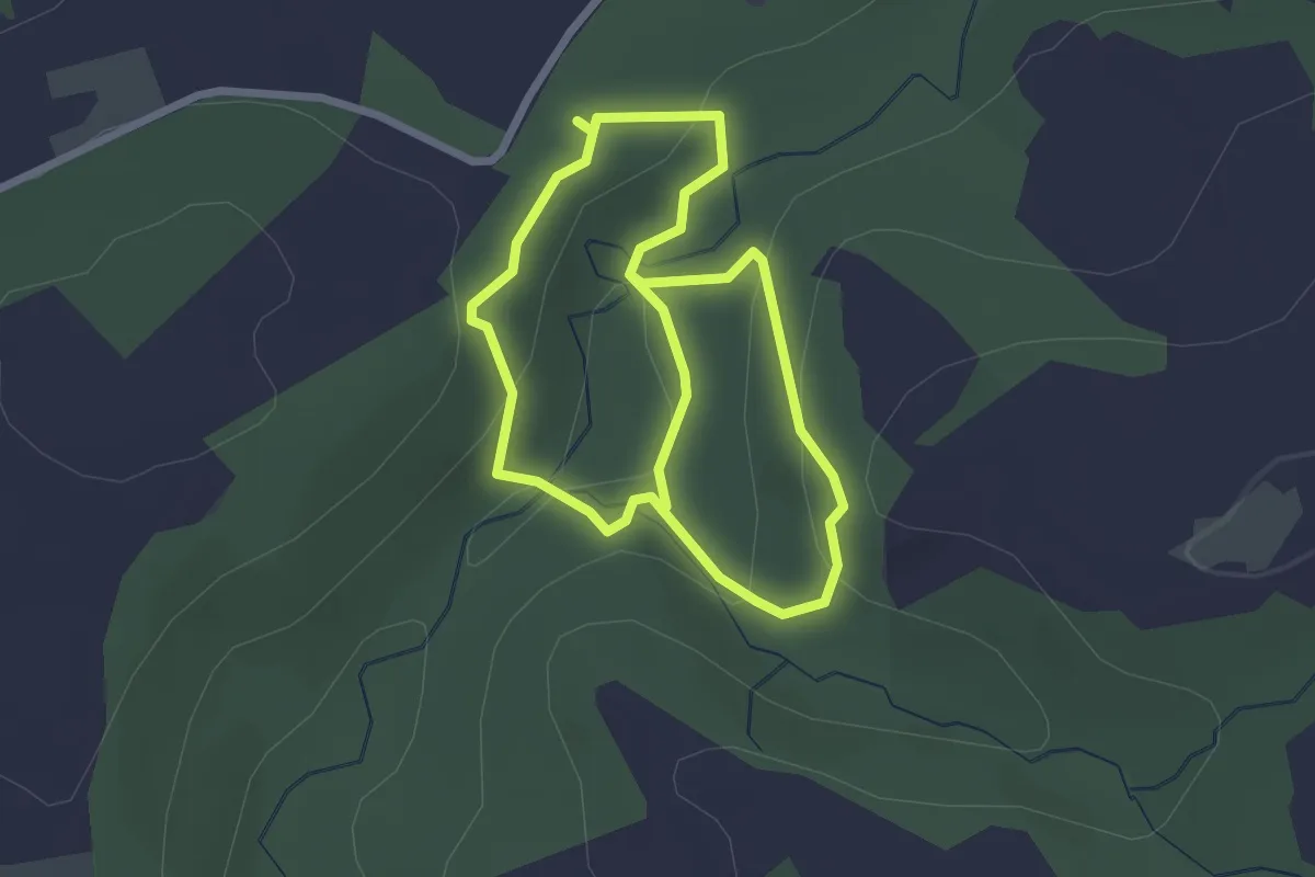
Easy · Trail
Valley Woodland Trail
4.0 km · ↑ 202 m · 1 h 23 min
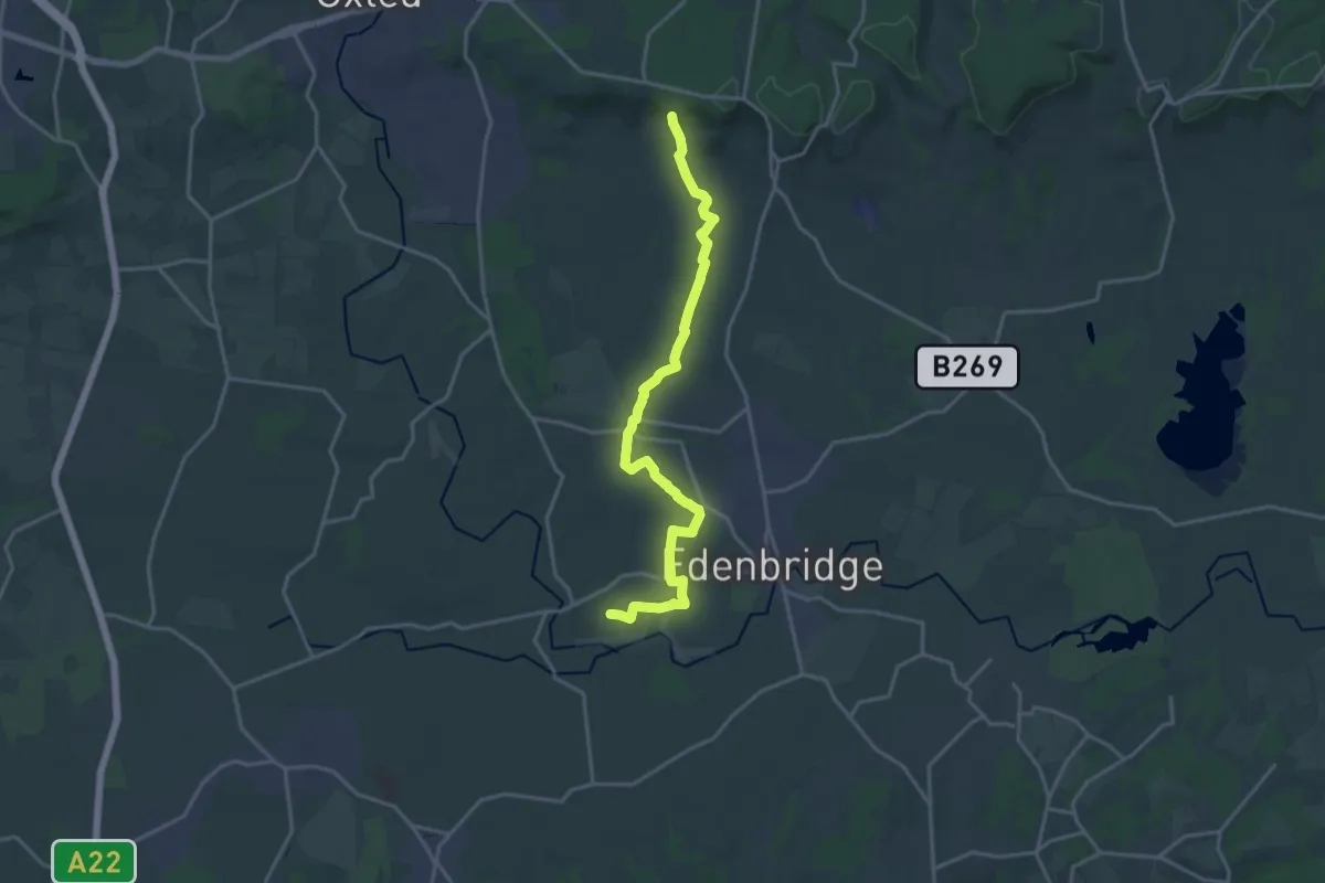
Medium · Trail
Vanguard Way
17.2 km · ↑ 170 m · 4 h 26 min
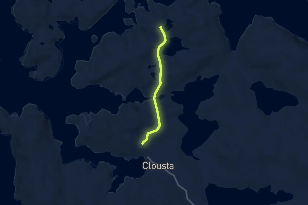
Easy · Trail
Vementry Path
4.2 km · ↑ 91 m · 1 h 11 min
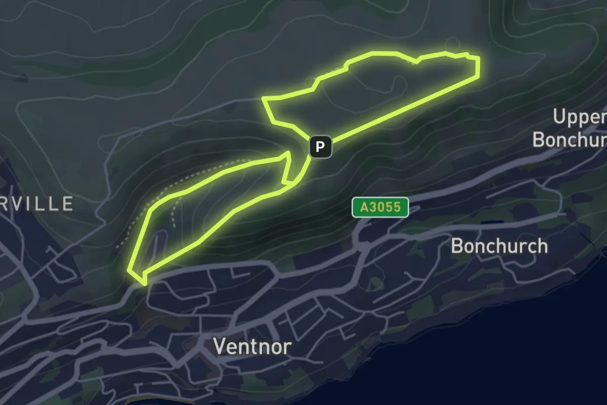
Easy · Summit
Ventor Downs Prehistory and Wartime Walk, Isle of Wight
4.1 km · ↑ 159 m · 1 h 22 min
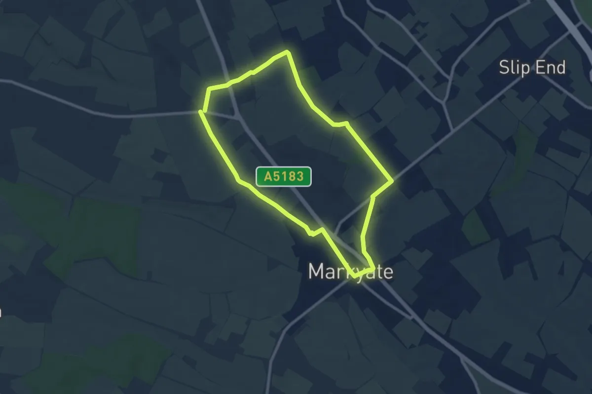
Easy · Trail
Ver Valley Walk 1
6.5 km · ↑ 82 m · 1 h 49 min
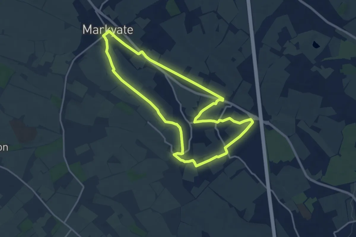
Medium · Trail
Ver Valley Walk 2
10.0 km · ↑ 98 m · 2 h 43 min
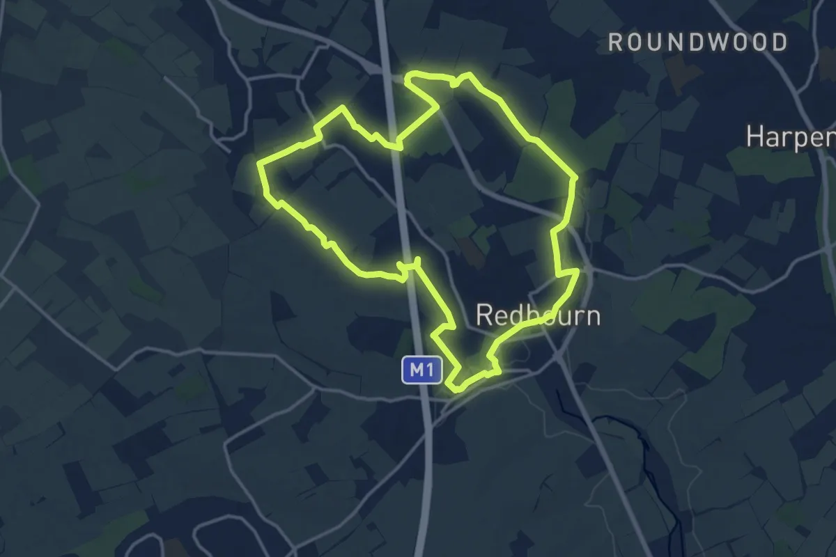
Medium · Trail
Ver Valley Walk 3
12.6 km · ↑ 75 m · 3 h 18 min
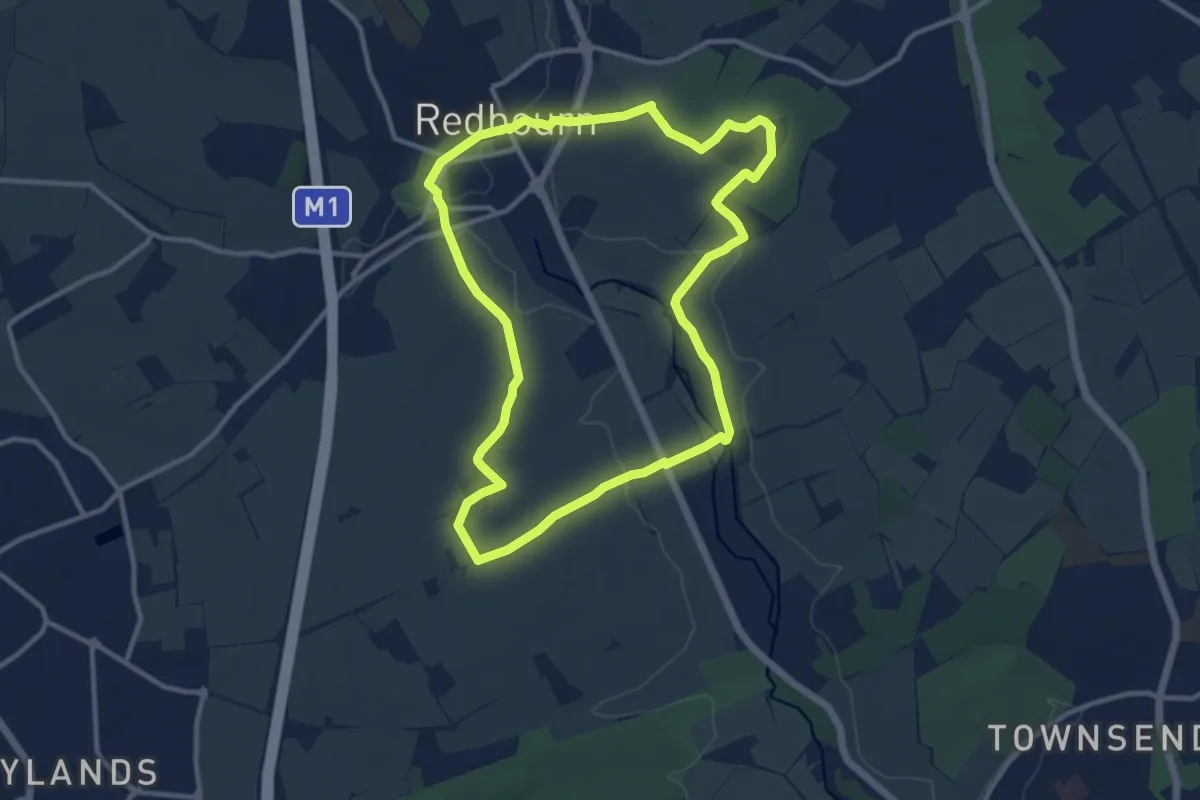
Medium · Trail
Ver Valley Walk 4
9.8 km · ↑ 99 m · 2 h 39 min
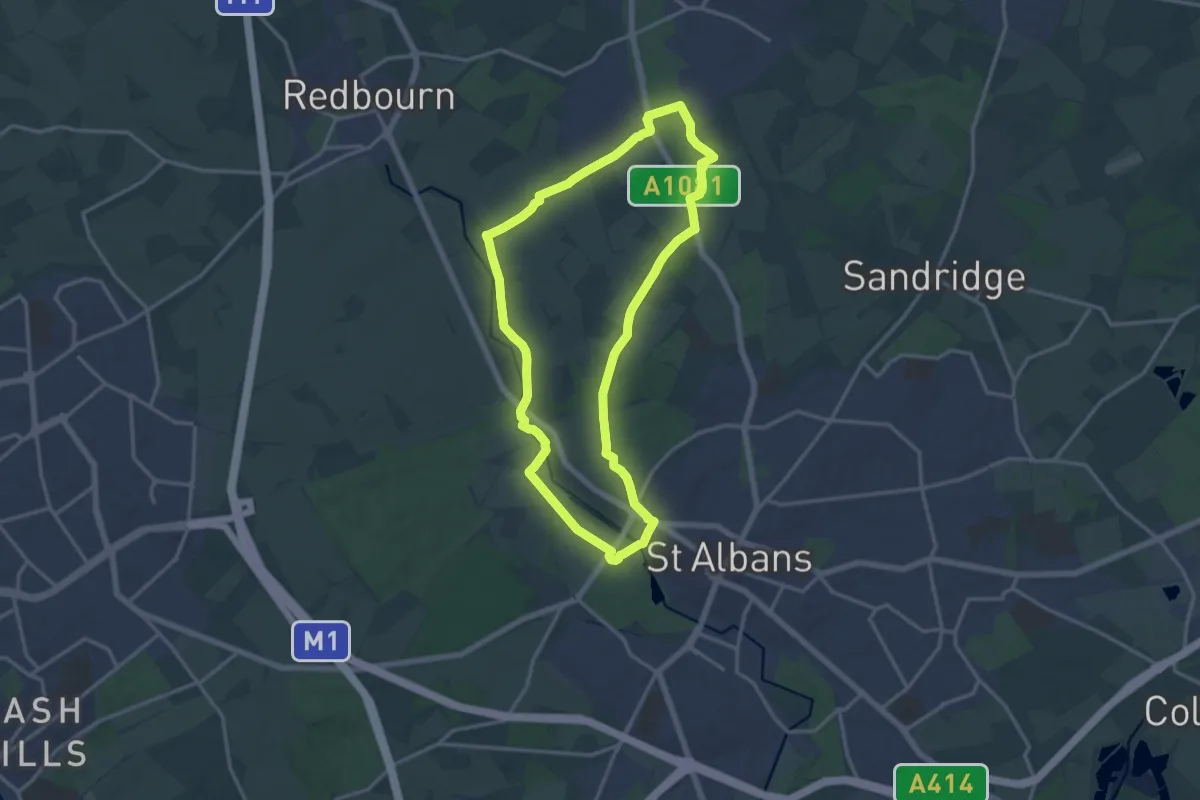
Medium · Trail
Ver Valley Walk 5
13.2 km · ↑ 71 m · 3 h 27 min
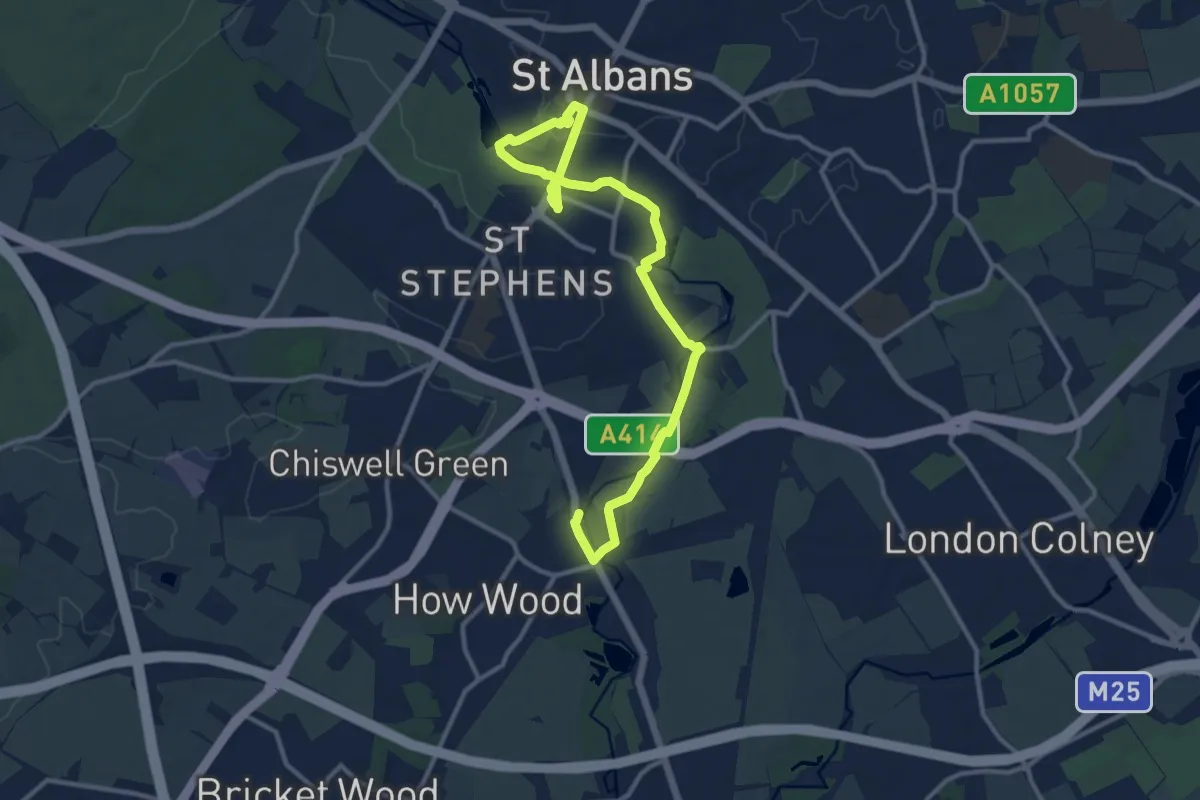
Medium · Trail
Ver Valley Walk 7
12.9 km · ↑ 84 m · 3 h 14 min
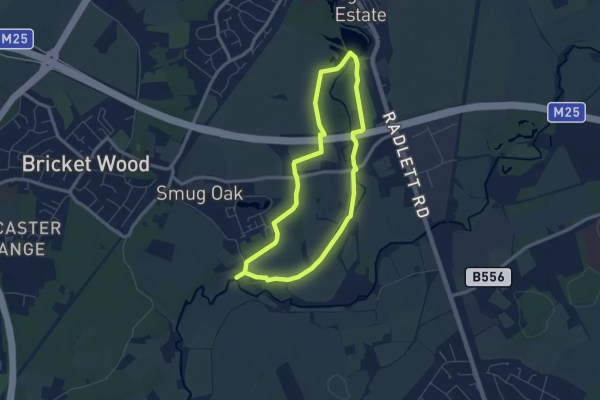
Easy · Trail
Ver Valley Walk 8
4.8 km · ↑ 18 m · 1 h 15 min
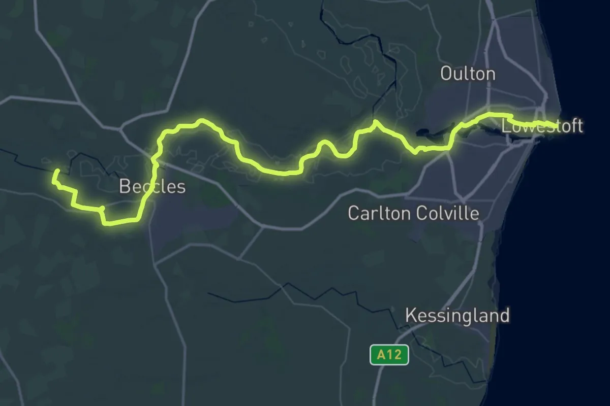
Demanding · Pilgrim path
Via Beata
24.9 km · ↑ 50 m · 6 h 21 min
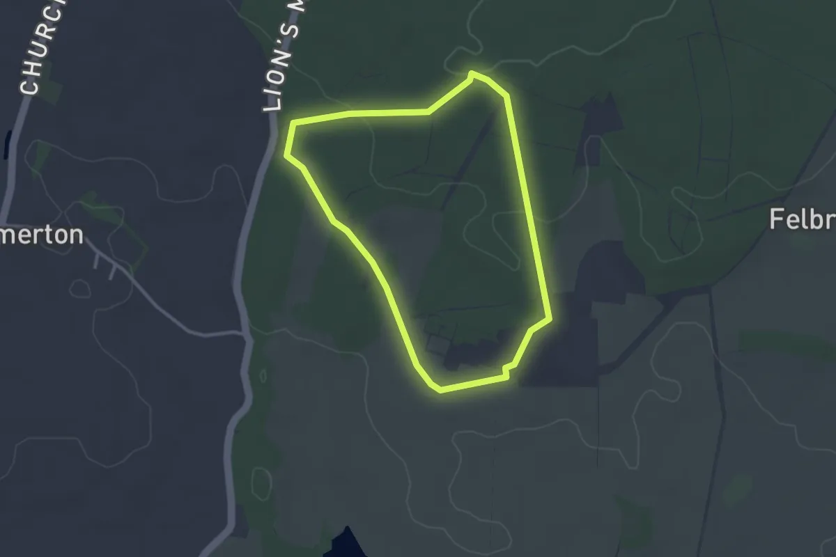
Easy · Trail
Victory V Walk, Felbrigg
2.4 km · ↑ 30 m · 39 min
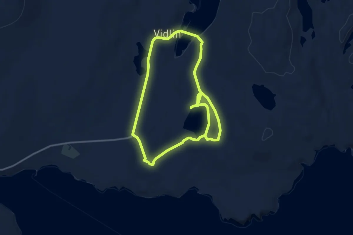
Medium · Trail
Vidlin to Burga Water Circular
12.9 km · ↑ 142 m · 3 h 21 min
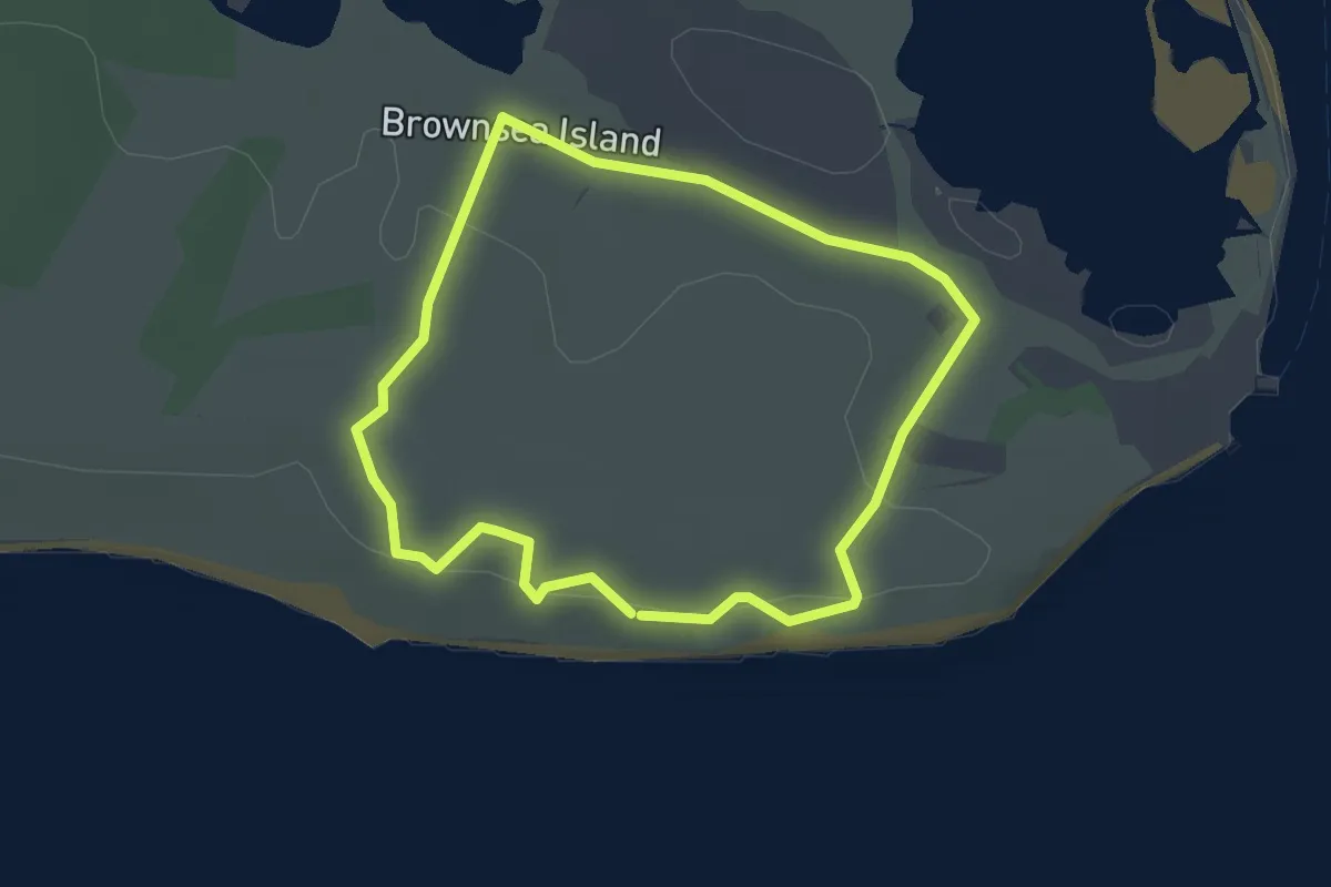
Easy · Trail
Viewpoints and Woodland Walk, Brownsea Island
2.1 km · ↑ 18 m · 34 min
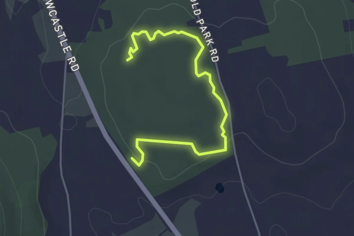
Easy · Trail
Viewpoint Trail
1.8 km · ↑ 42 m · 32 min
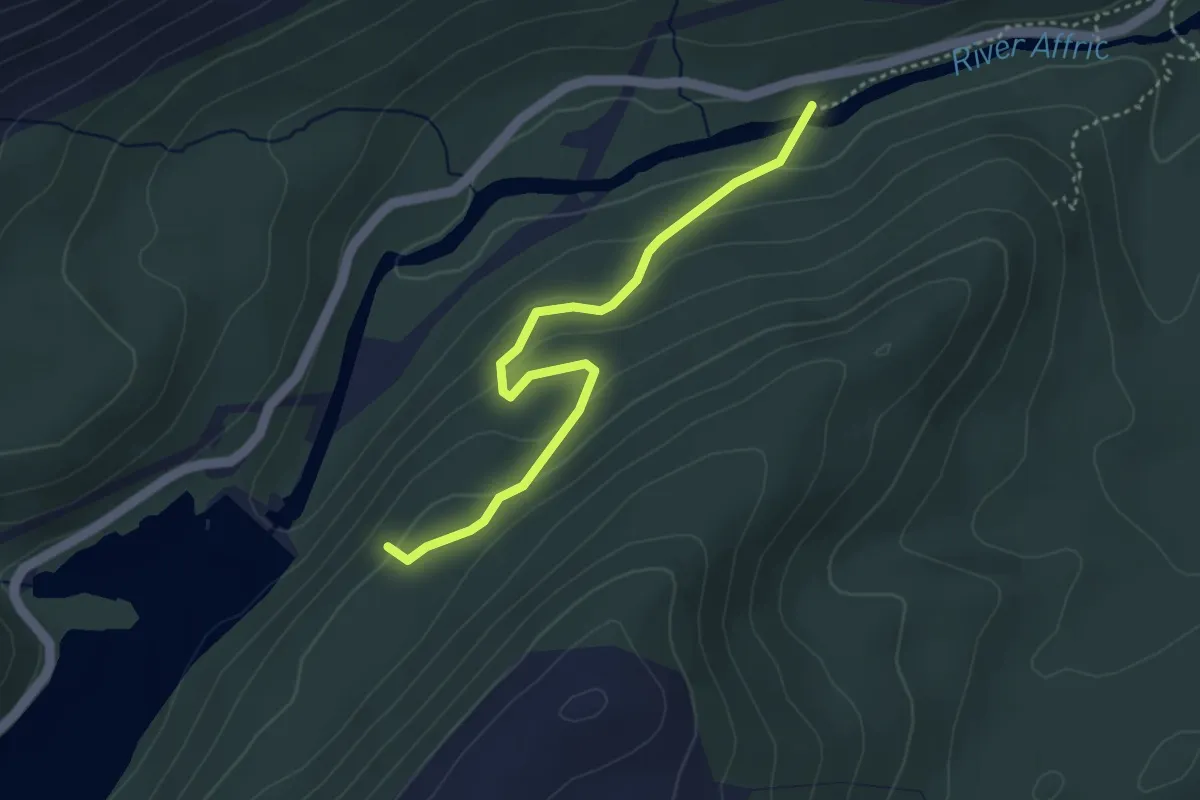
Easy · Trail
Viewpoint Trail
3.0 km · ↑ 137 m · 1 h
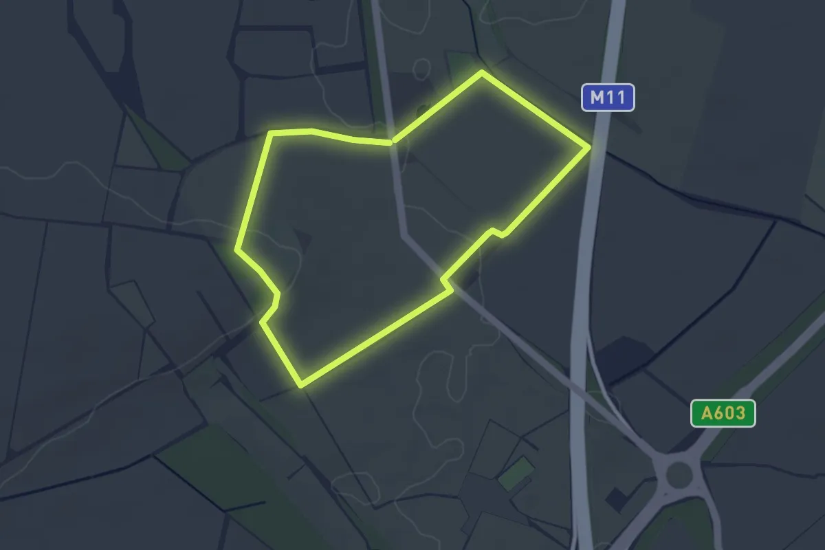
Easy · Trail
View Point Walk
2.8 km · ↑ 19 m · 45 min
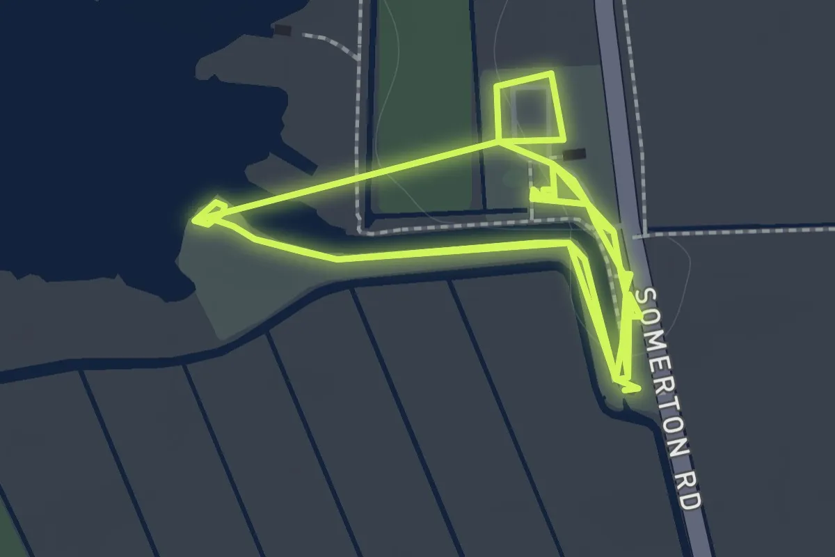
Easy · Trail
Viewpoint Walk, Horsey Windpump
1.6 km · ↑ 0 m · 24 min
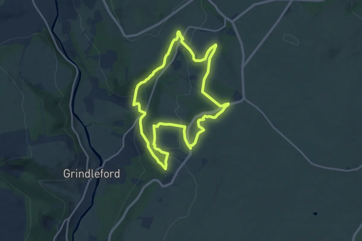
Medium · Trail
Views and Woodlands Walk at Longshaw, Longshaw Estate
8.4 km · ↑ 238 m · 2 h 37 min
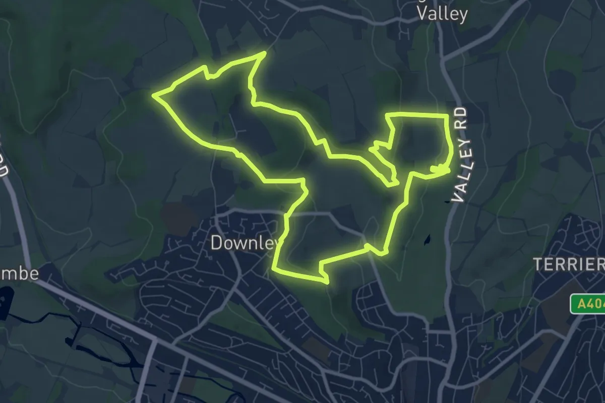
Medium · Trail
Views of the Hughenden Manor Estate Walk, Hughenden
9.2 km · ↑ 224 m · 2 h 46 min
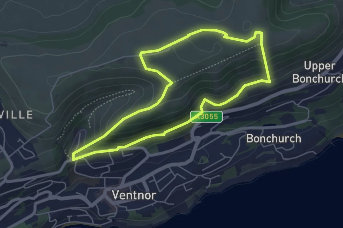
Easy · Summit
Views of Ventor Walking Trail, Isle of Wight
4.1 km · ↑ 169 m · 1 h 23 min
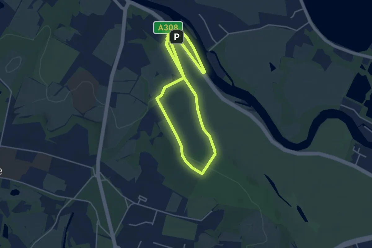
Easy · Trail
Views Route, Runnymede
3.7 km · ↑ 31 m · 59 min
Easy · Trail
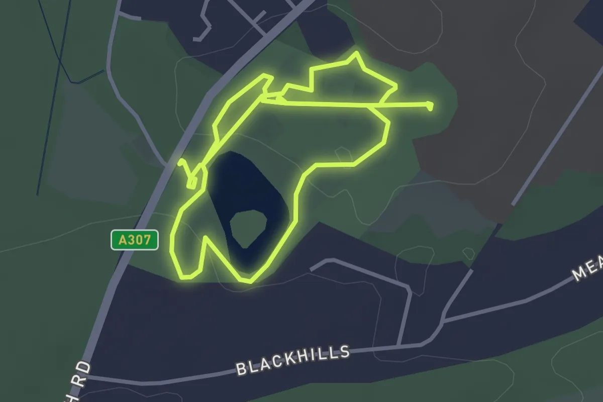
Views Walk, Claremont
5.3 km · ↑ 96 m · 1 h 28 min
Demanding · Trail
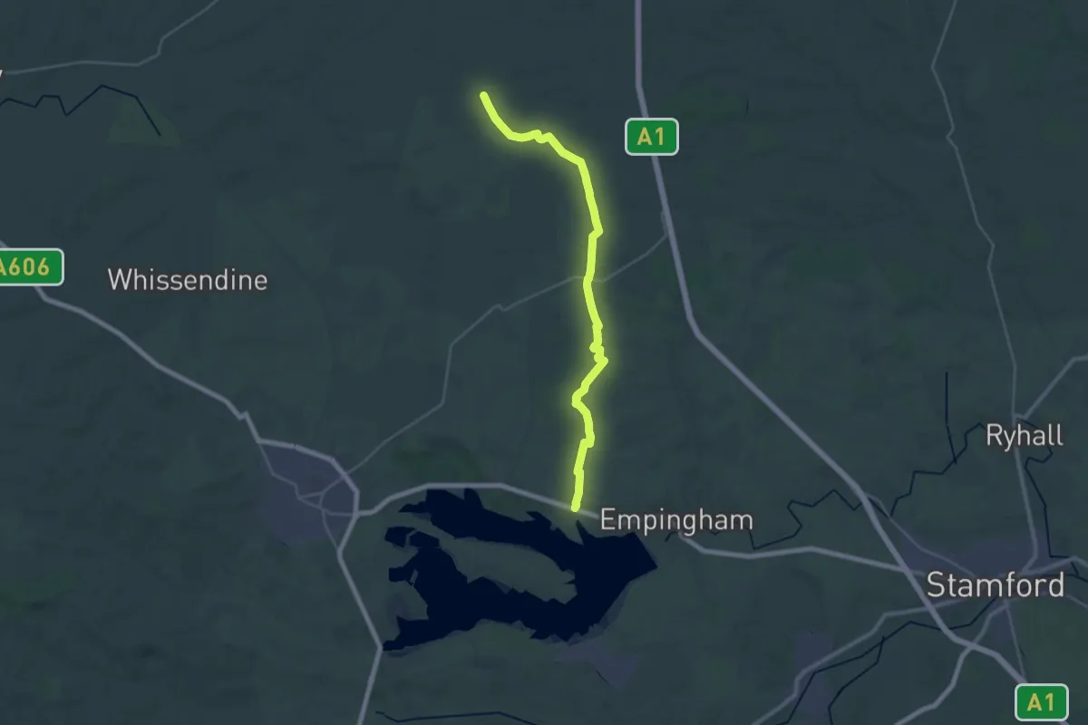
Viking Way (Barnetby to Whitwell)
26.0 km · ↑ 161 m · 6 h 29 min
Demanding · Trail
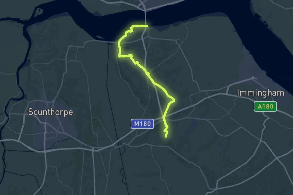
Viking Way (Barton-upon-Humber to Barnetby)
24.7 km · ↑ 138 m · 6 h 28 min
Easy · Trail
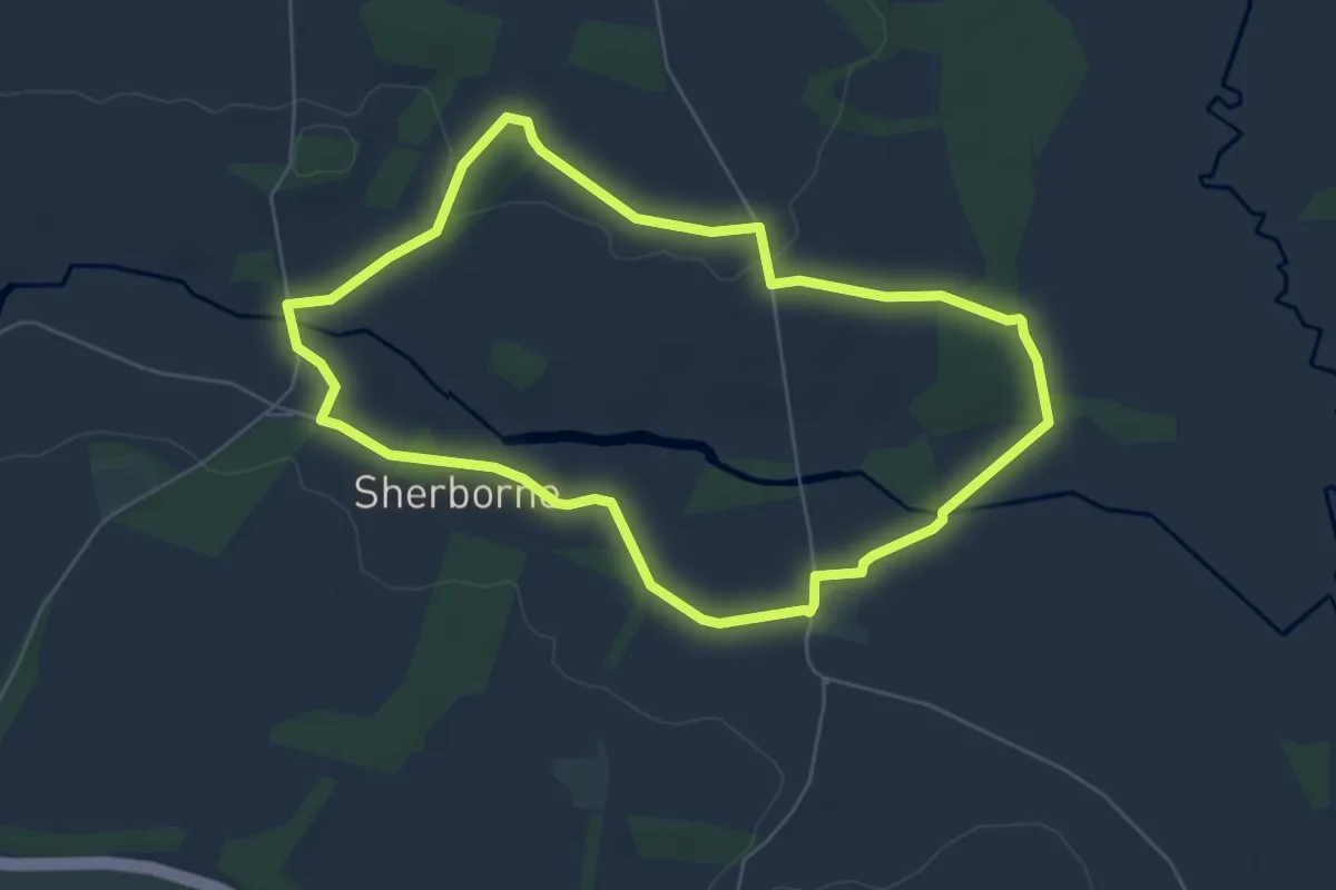
Village Walk, Sherborne Park Estate
5.3 km · ↑ 46 m · 1 h 25 min
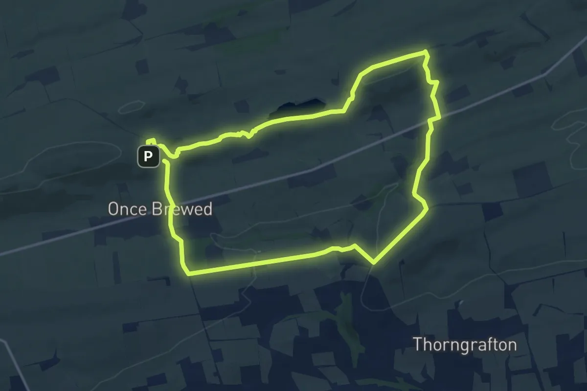
Demanding · Trail
Vindolanda & Hadrian's Wall Trail
20.3 km · ↑ 568 m · 6 h 1 min
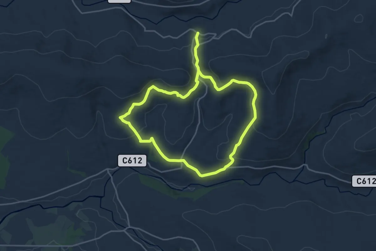
Demanding · Trail
Vinegar Hill Loop
21.2 km · ↑ 509 m · 6 h 7 min
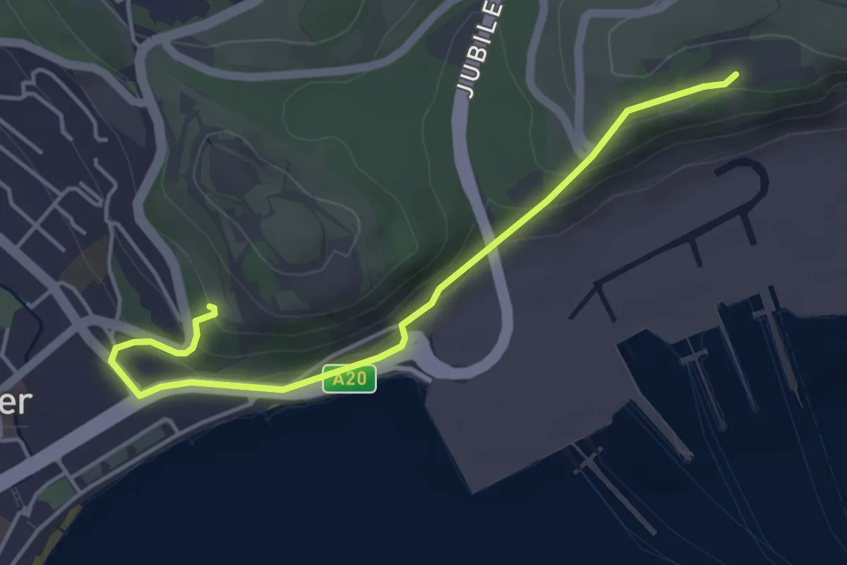
Easy · Trail
Visitor Centre to Dover Castle Trail, White Cliffs
4.1 km · ↑ 136 m · 1 h 16 min
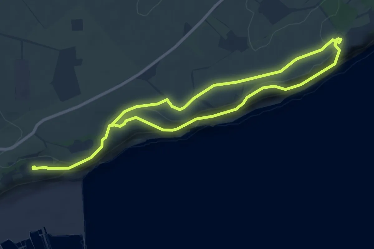
Easy · Trail
Visitor Centre to Fan Bay Deep Shelter and South Foreland Lighthouse Circiular Trail, White Cliffs
5.0 km · ↑ 76 m · 1 h 25 min
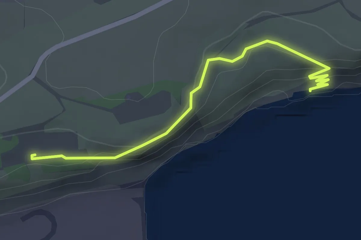
Easy · Trail
Visitor Centre to Langdon Stairs Trail, White Cliffs
3.2 km · ↑ 113 m · 1 h
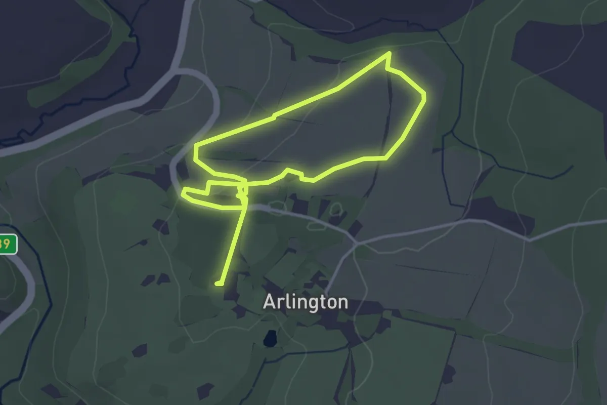
Easy · Trail
Vole Walk, Arlington Court
2.6 km · ↑ 47 m · 44 min
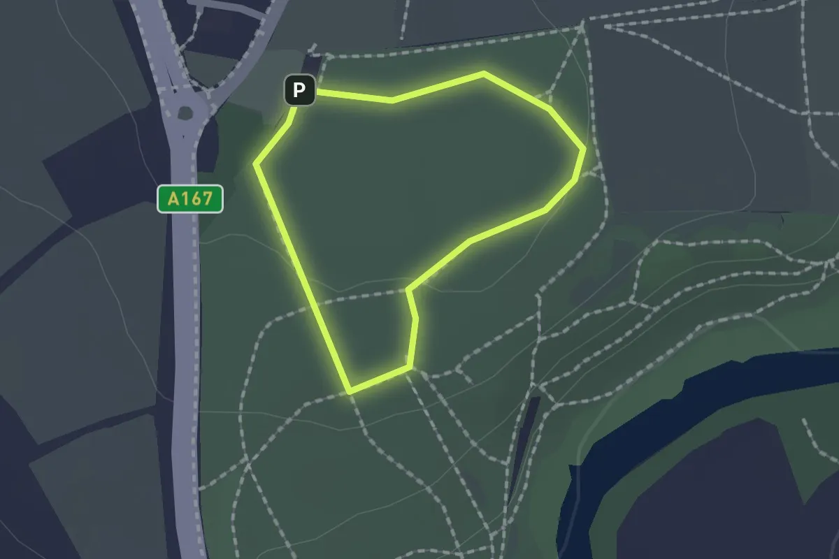
Easy · Trail
Wagon Way Trail
1.1 km · ↑ 9 m · 17 min
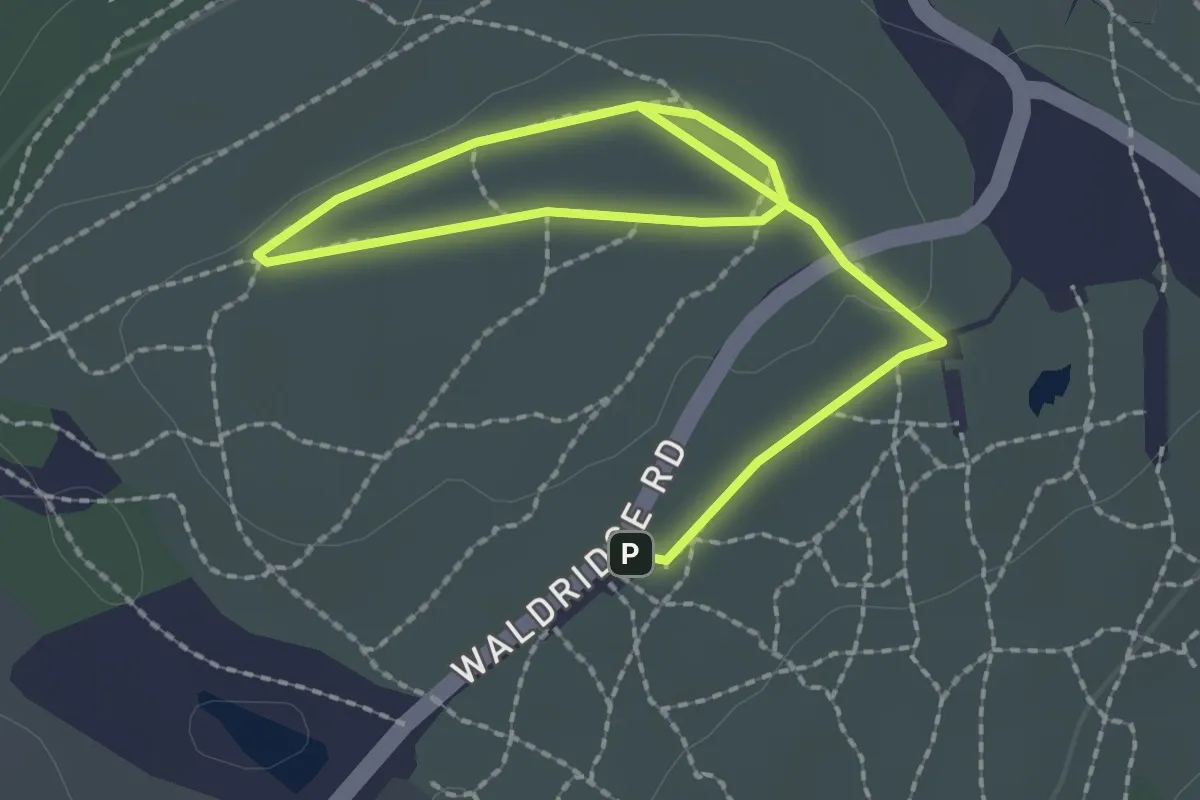
Easy · Trail
Waldridge Fell Country Park: Easy Access Route
2.8 km · ↑ 17 m · 42 min