Trails in United Kingdom
3,857 hiking trails, each with its route, climb, walking time and grade.
All trails, page 74 of 81
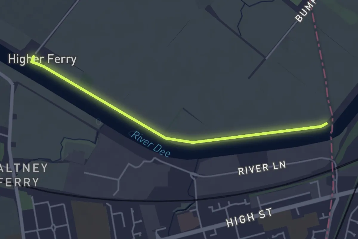
Easy · Trail
Wales Coast Path (North Wales) main route
3.5 km · ↑ 0 m · 50 min
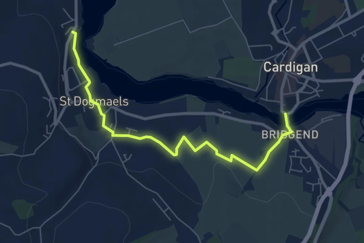
Easy · Trail
Wales Coast Path (Pembrokeshire) link
5.3 km · ↑ 61 m · 1 h 24 min
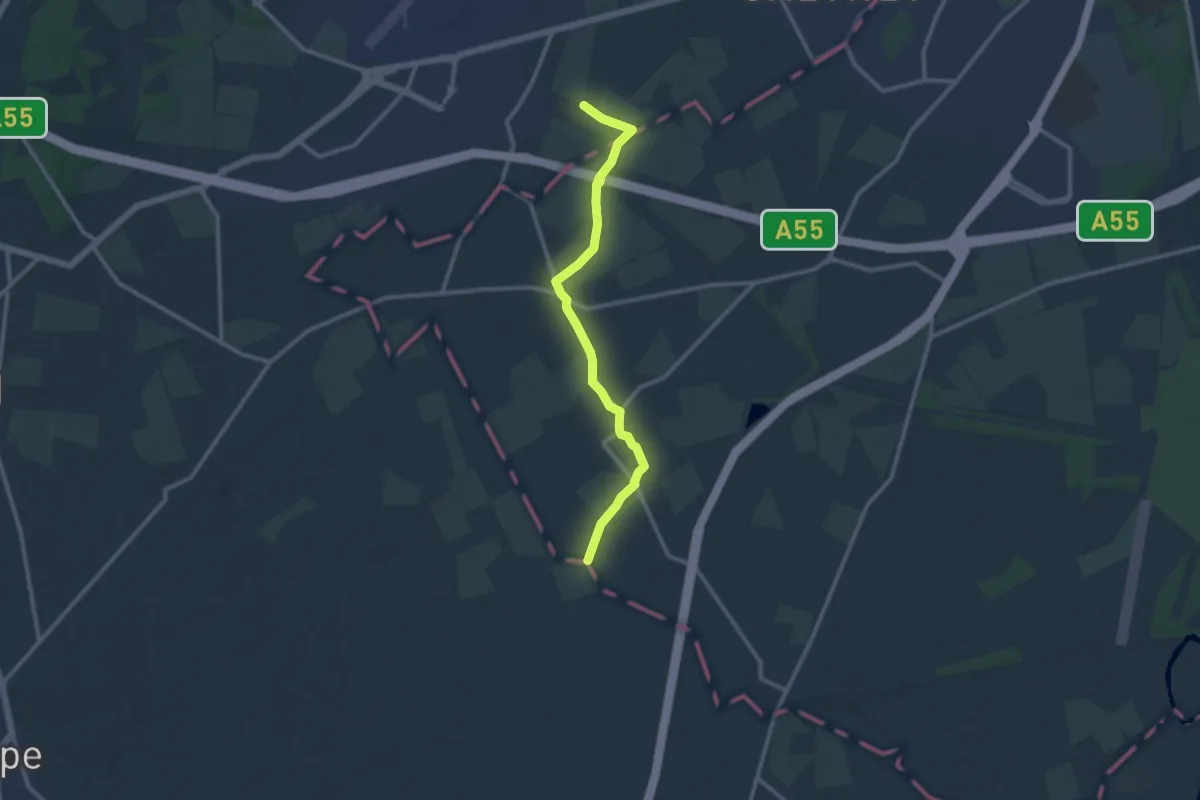
Medium · Trail
Wales Link Path
9.5 km · ↑ 12 m · 2 h 16 min
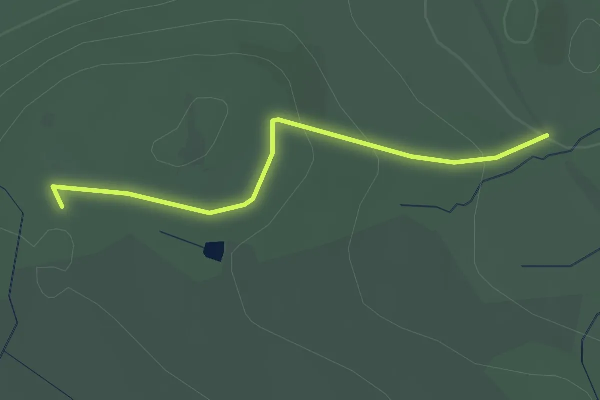
Easy · Trail
Walk 1
2.2 km · ↑ 68 m · 41 min
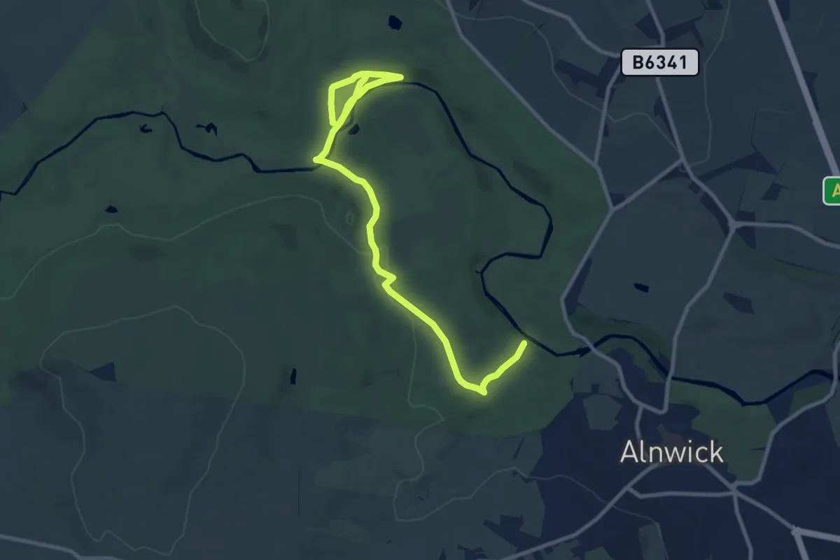
Medium · Trail
Walk 2
9.4 km · ↑ 171 m · 2 h 36 min
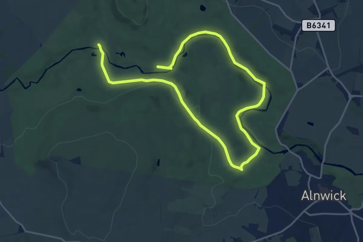
Medium · Trail
Walk 3
15.2 km · ↑ 137 m · 3 h 53 min
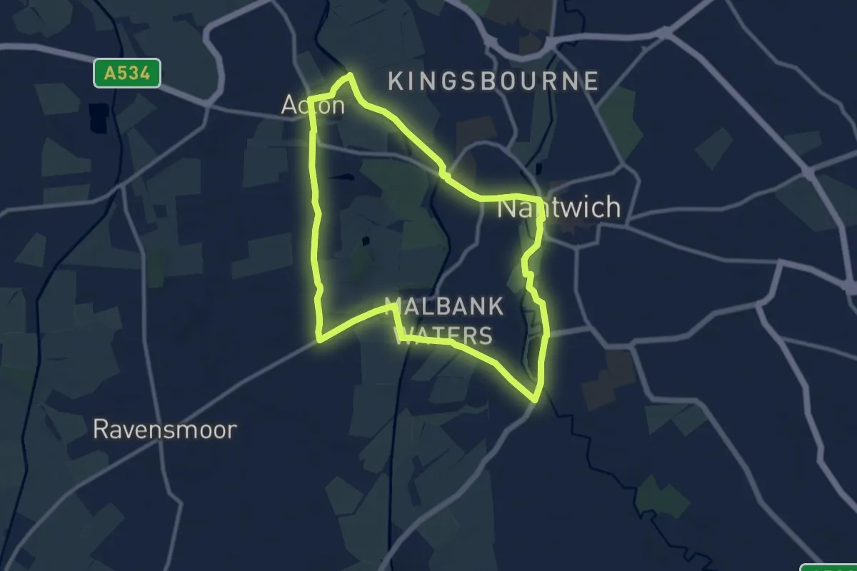
Easy · Trail
Walk around Nantwich and Acton
7.9 km · ↑ 26 m · 2 h 2 min
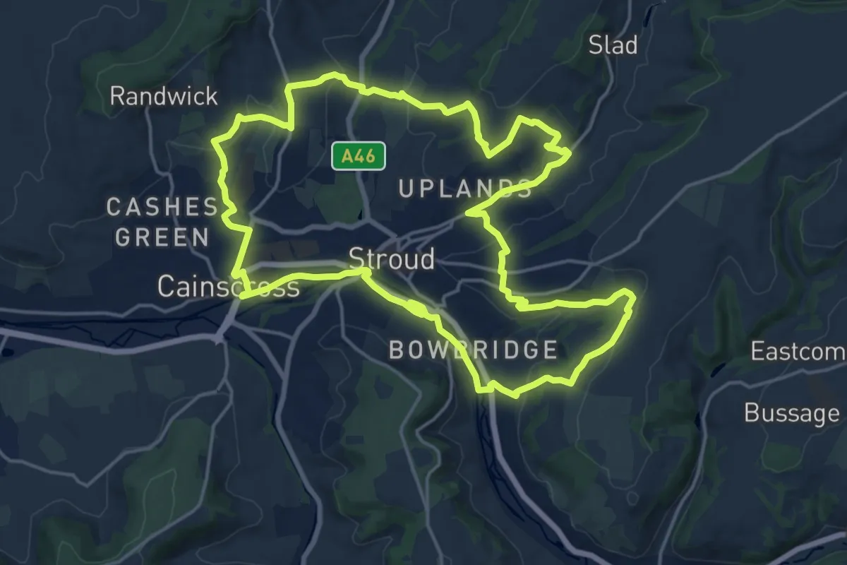
Medium · Trail
Walk Around Stroud (The WAS Way)
16.3 km · ↑ 448 m · 5 h 2 min
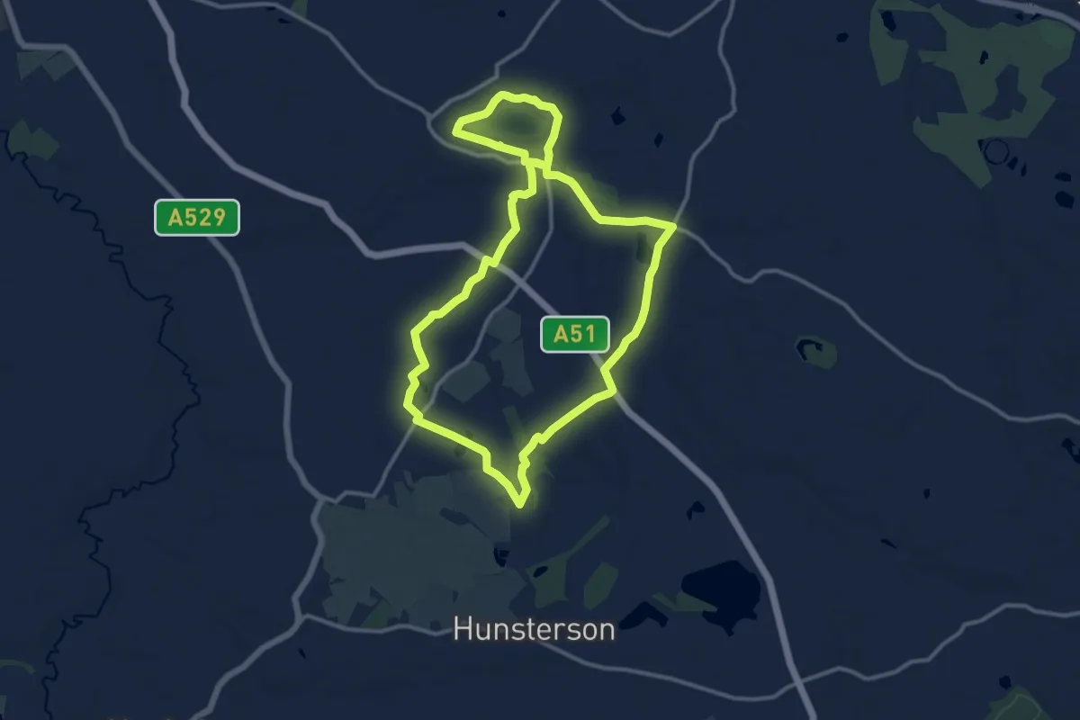
Demanding · Trail
Walk around Wybunbury
21.2 km · ↑ 160 m · 5 h 21 min
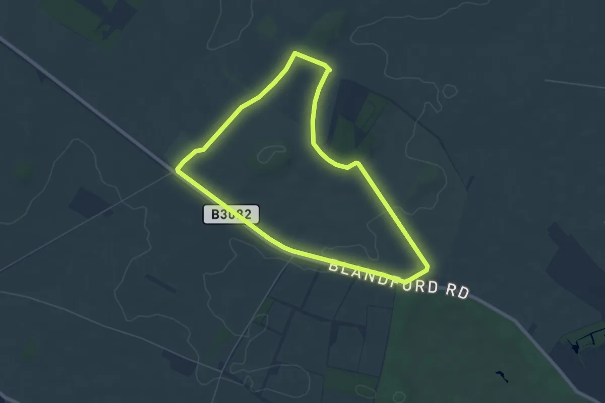
Easy · Trail
Walk at Badbury Rings and The Oaks, Kingston Lacy
5.4 km · ↑ 65 m · 1 h 29 min
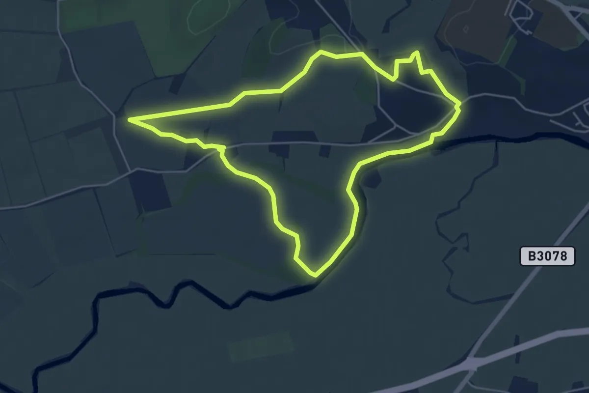
Easy · Trail
Walk at Eye Bridge and Pamphill, Kingston Lacy
4.3 km · ↑ 26 m · 1 h 8 min
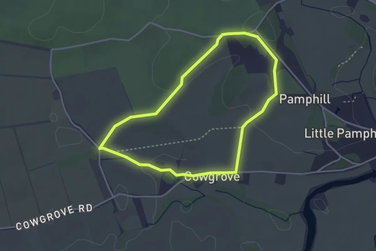
Easy · Trail
Walk at Pamphill and Cowgrove, Kingston Lacy
2.7 km · ↑ 27 m · 44 min
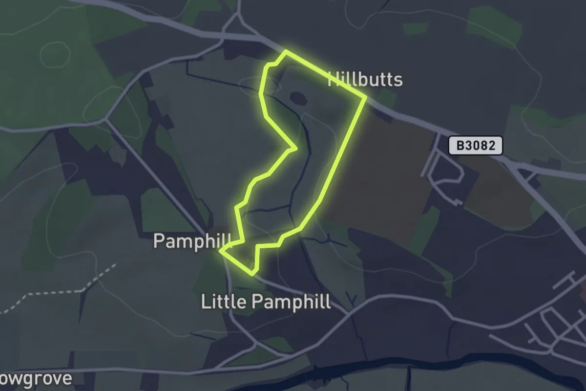
Easy · Trail
Walk at Pamphill Green and Moor, Kingston Lacy
1.9 km · ↑ 29 m · 31 min
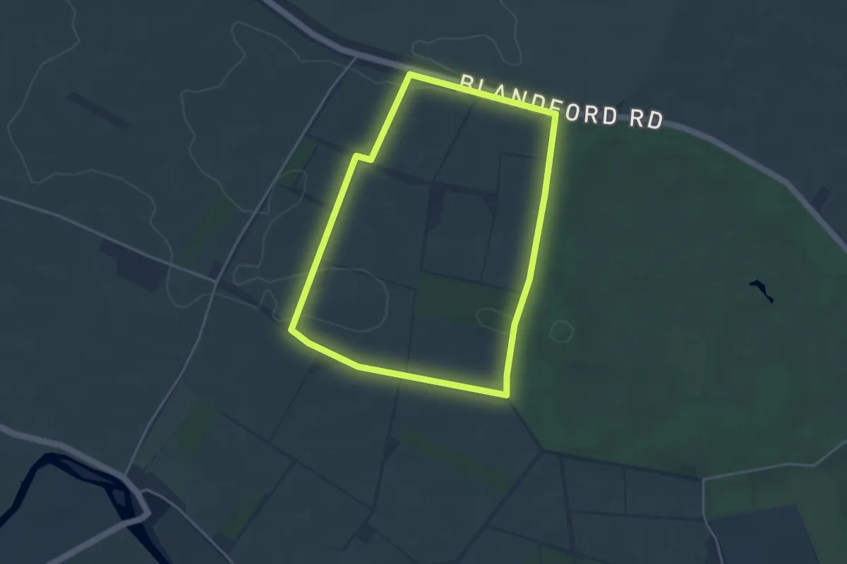
Easy · Trail
Walk at the Beech Avenue and Droves, Kingston Lacy
3.5 km · ↑ 32 m · 57 min
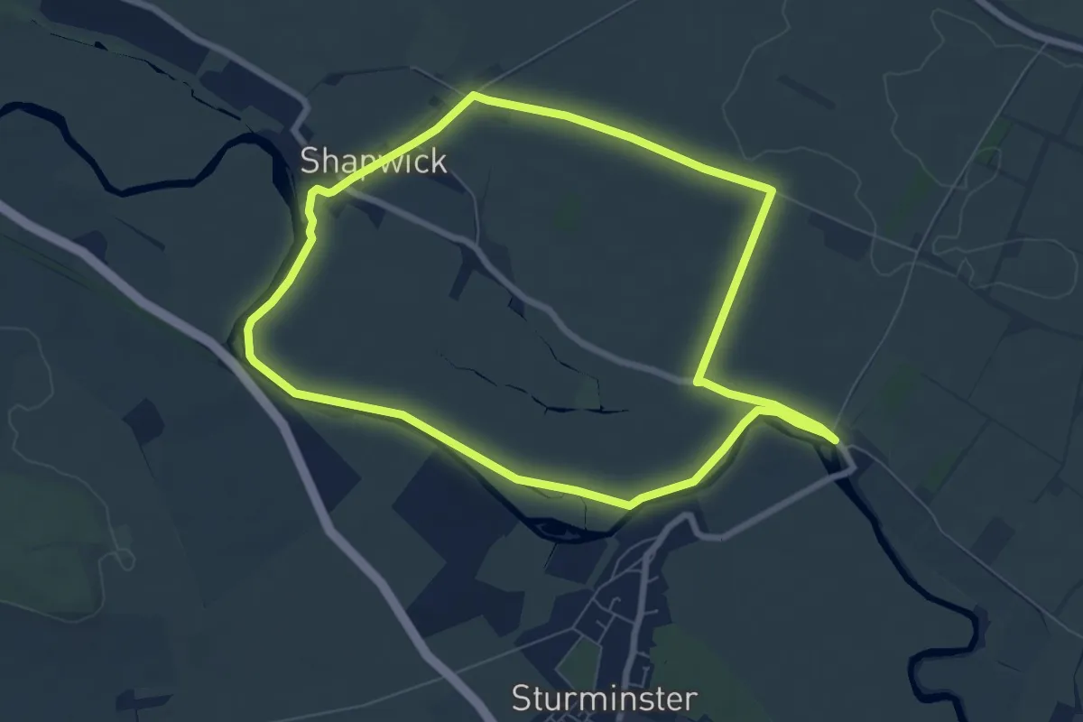
Easy · Trail
Walk at White Mill and Shapwick, Kingston Lacy
6.8 km · ↑ 18 m · 1 h 44 min
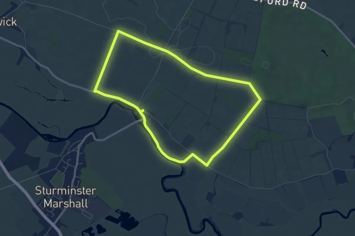
Easy · Trail
Walk at White Mill and the Droves, Kingston Lacy
5.9 km · ↑ 32 m · 1 h 33 min
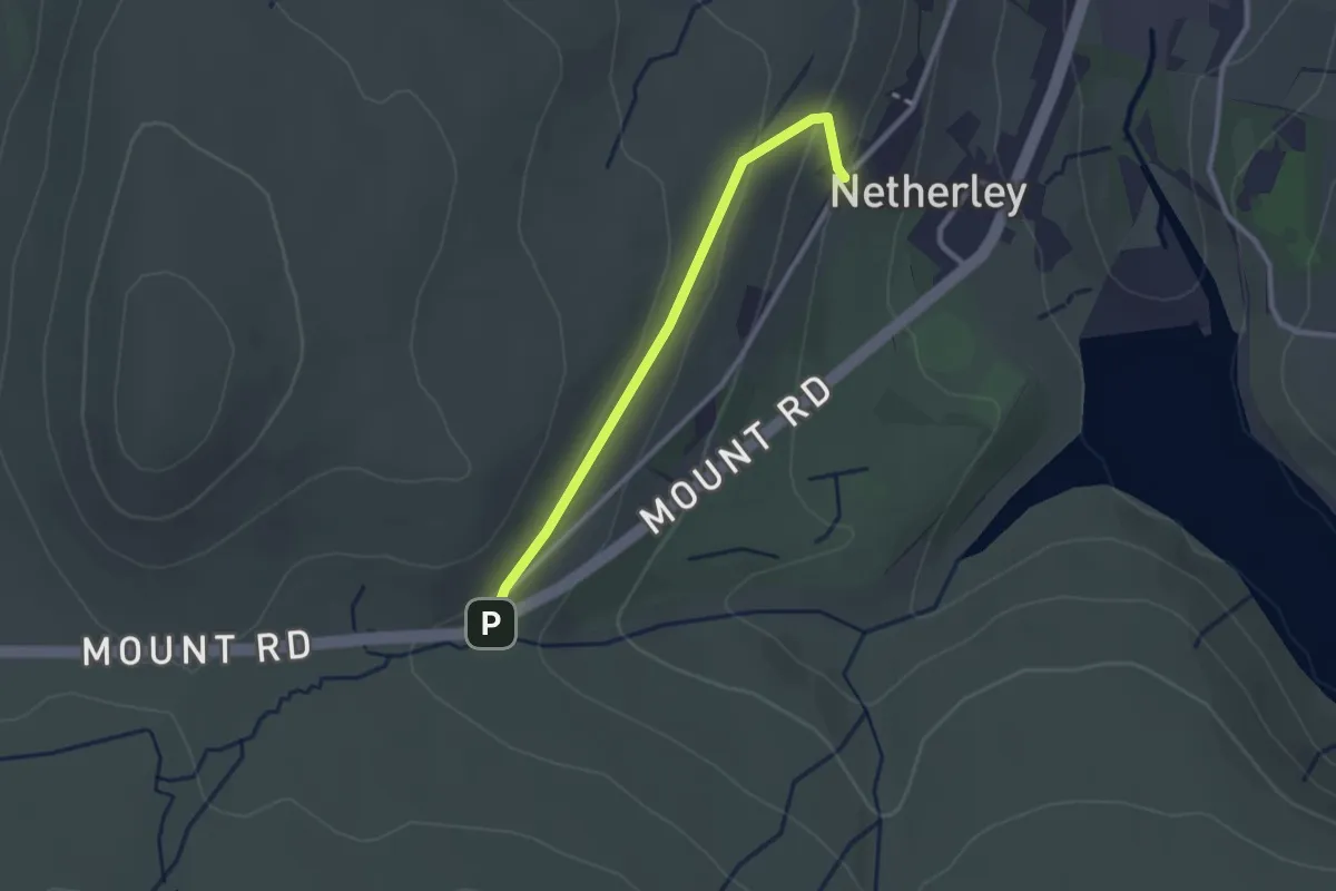
Easy · Trail
Walkers are Welcome Swellands
2.1 km · ↑ 67 m · 38 min
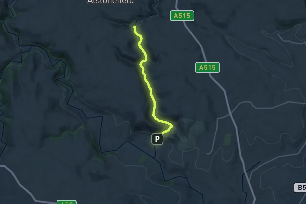
Medium · Trail
Walk from Dovedale to Milldale, Dovedale
10.4 km · ↑ 129 m · 2 h 44 min
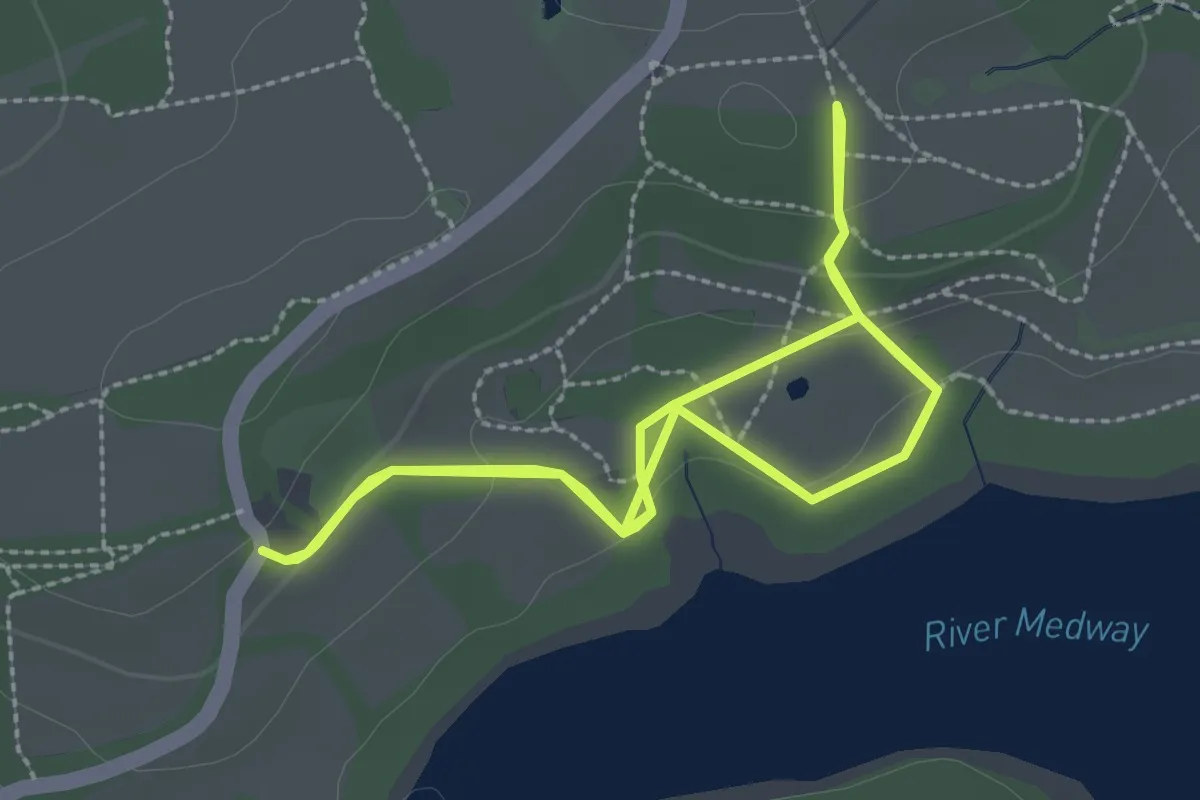
Easy · Trail
Walk from Standen to Kingscote Bluebell Railway, Standen
2.6 km · ↑ 60 m · 47 min
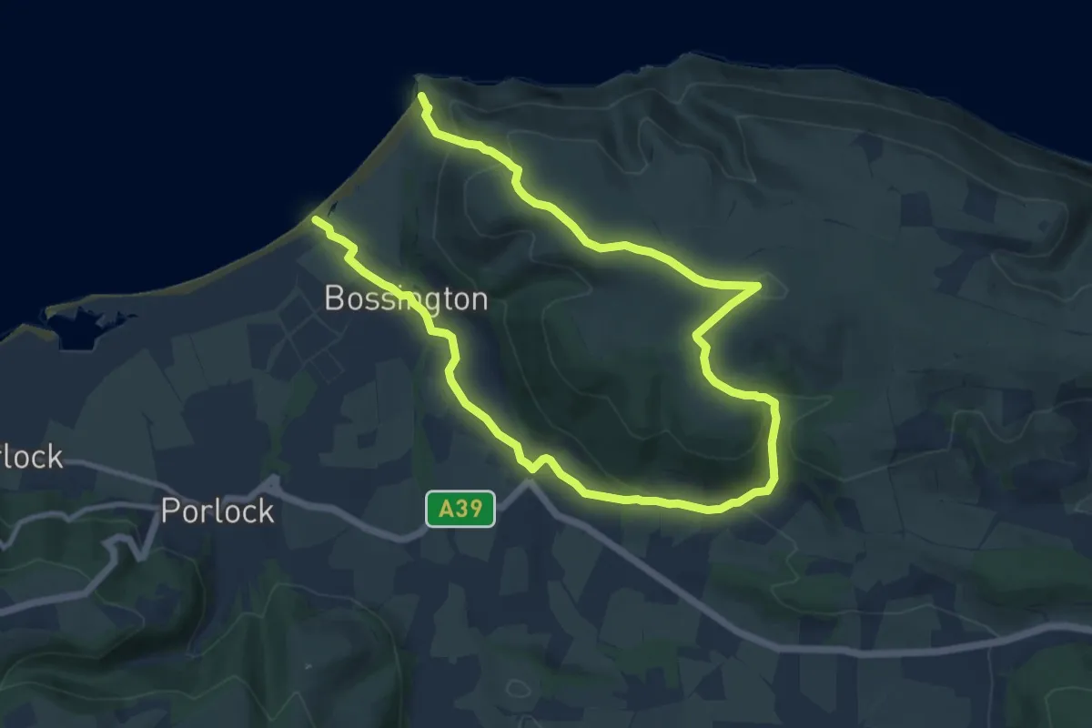
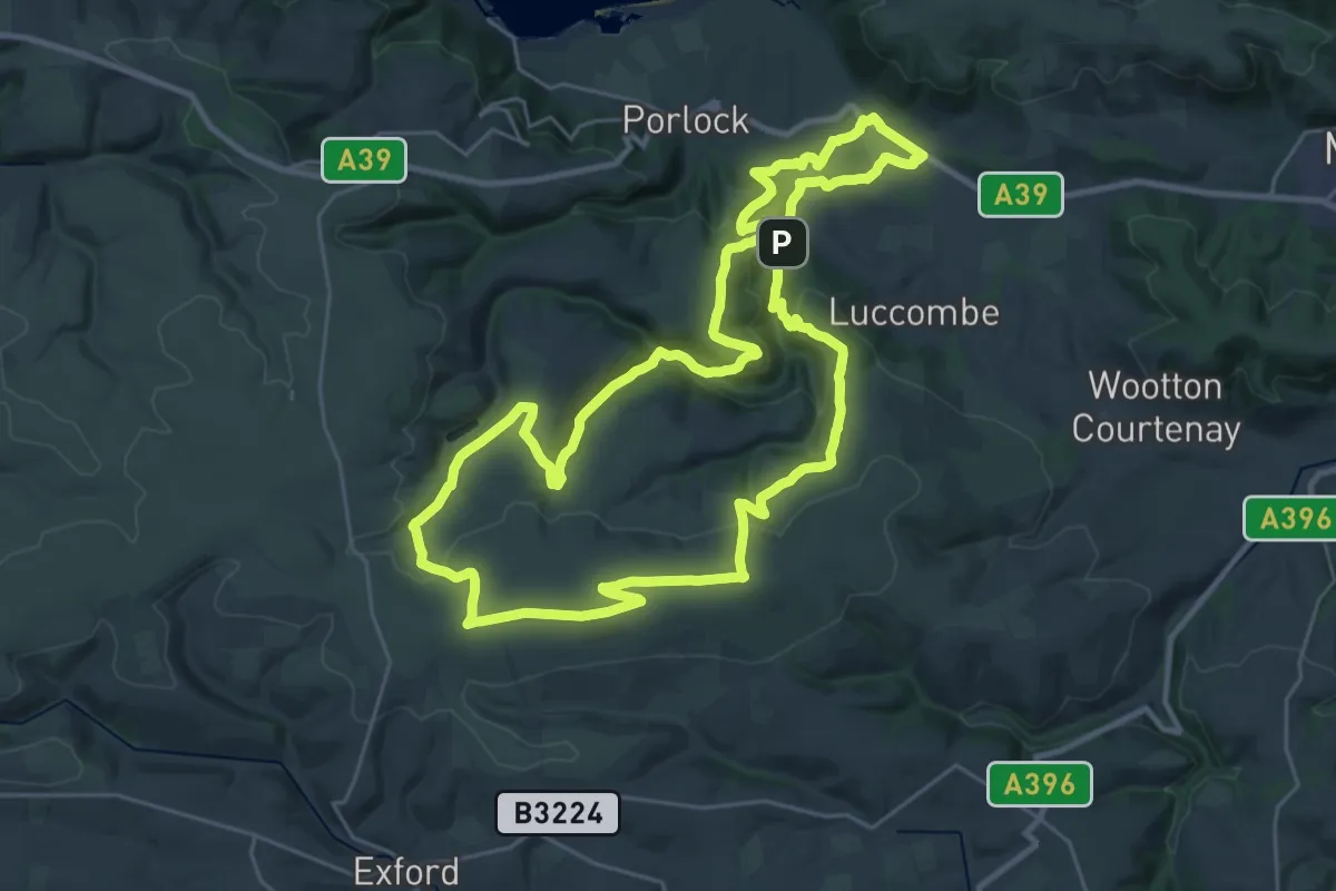
Medium · Summit
Walking in Exmoor: Day One
8.0 km · ↑ 302 m · 2 h 39 min
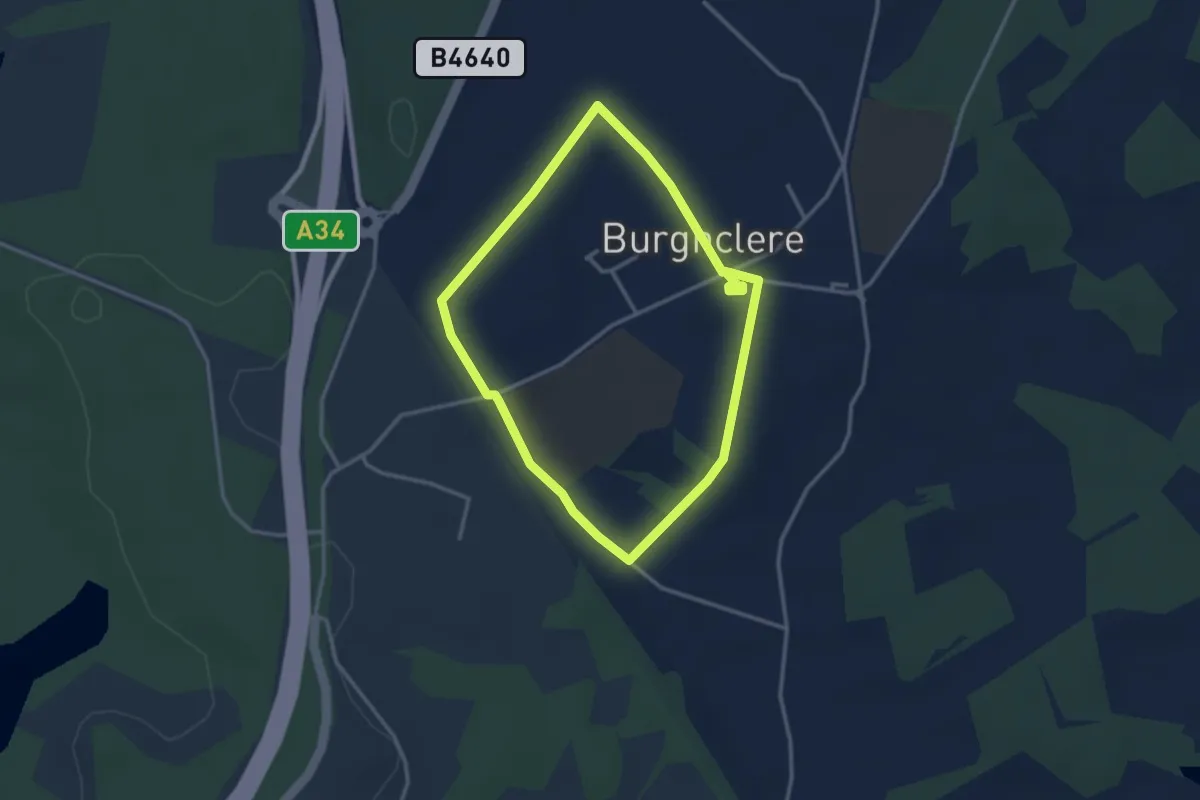
Demanding · Summit
Walking in Exmoor: Day Two
25.7 km · ↑ 779 m · 8 h 6 min
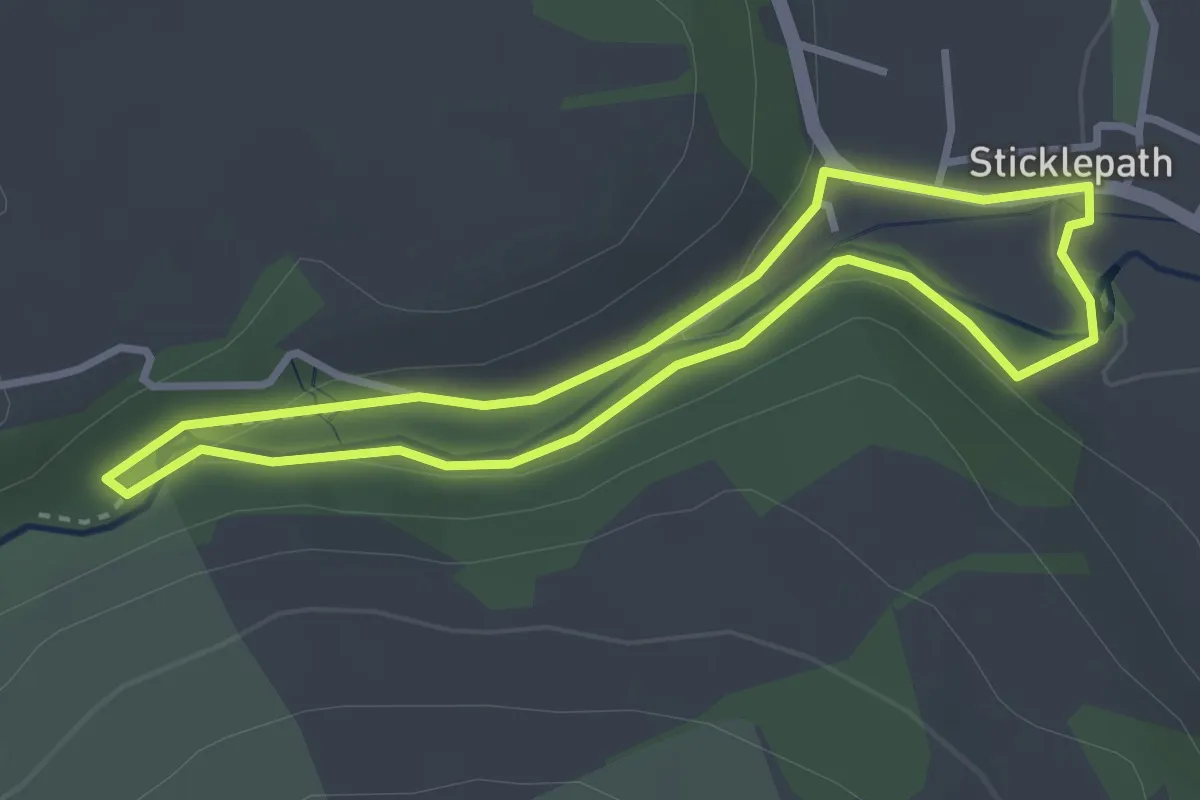
Easy · Trail
Walk in Stanley Spencer's Footsteps around Burghclere, Sandham
2.6 km · ↑ 18 m · 42 min
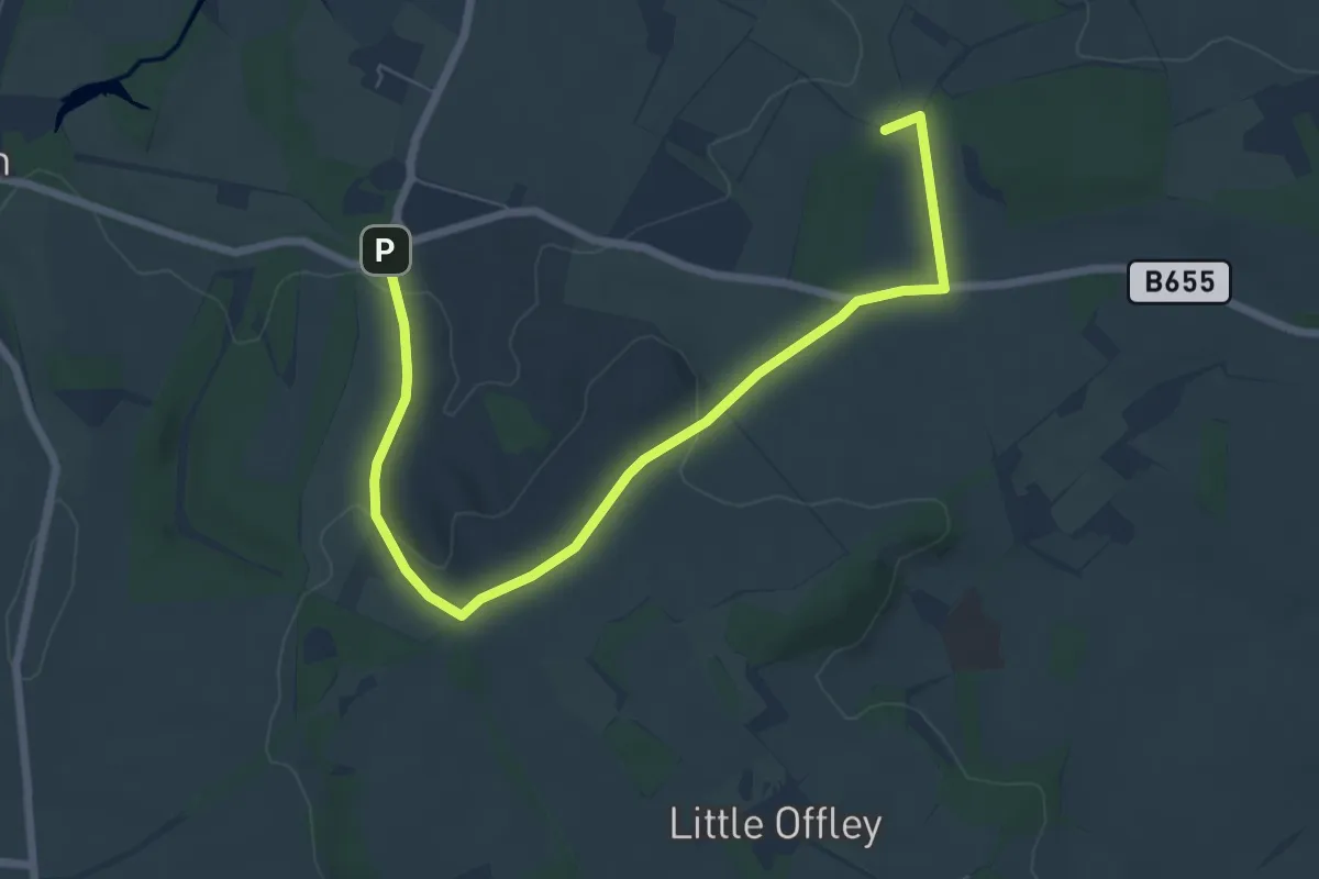
Easy · Trail
Walk in the footsteps of Tom Pearse, Finch Foundary
2.7 km · ↑ 38 m · 45 min
Easy · Trail
Walk on the wild side
7.1 km · ↑ 148 m · 2 h
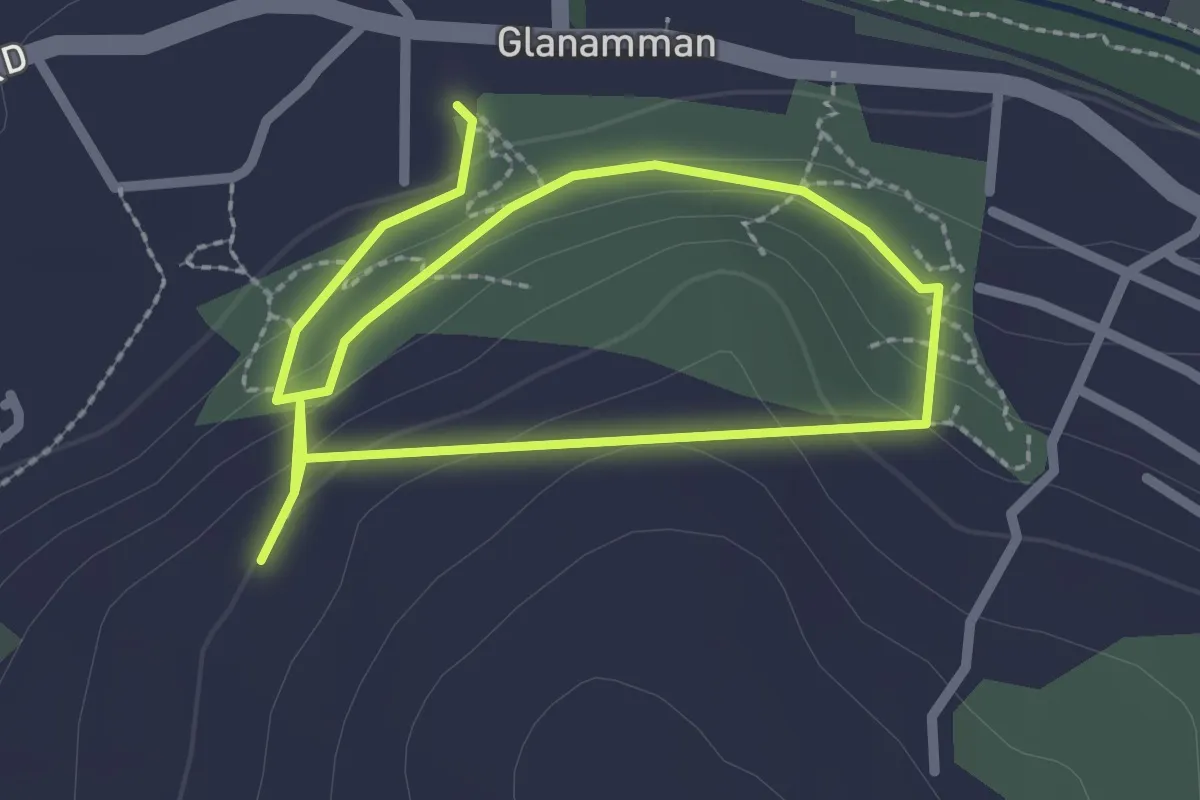
Easy · Trail
walk or endurance training
3.6 km · ↑ 133 m · 1 h 8 min
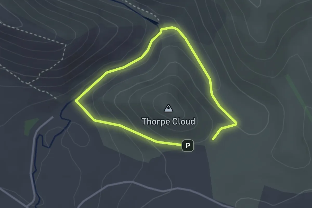
Easy · Trail
Walk Round Thorpe Cloud, Dovedale
1.8 km · ↑ 70 m · 37 min
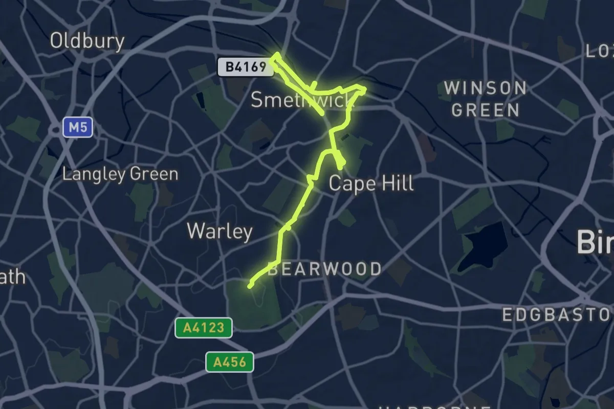
Medium · Trail
Walk Smethwick Heritage Trail
14.8 km · ↑ 137 m · 3 h 47 min
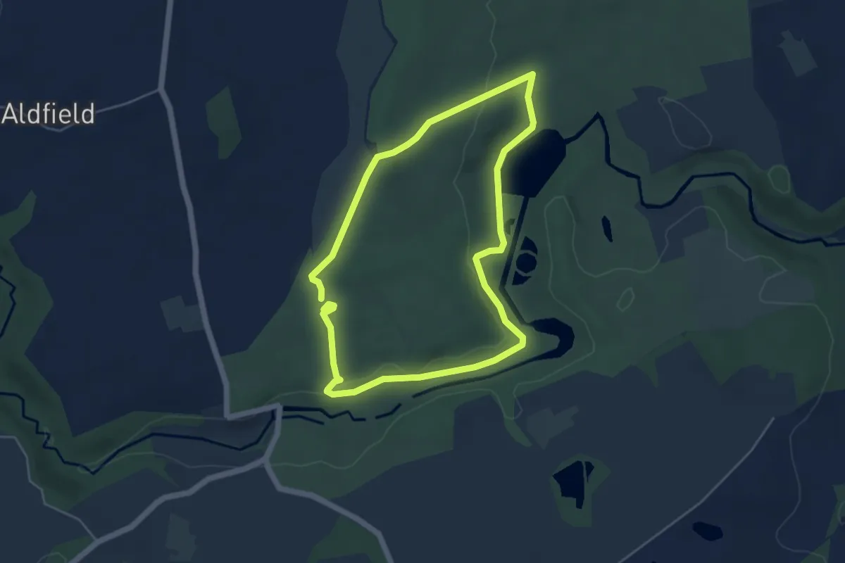
Easy · Trail
Walk through the centuries at Fountains Abbey
3.8 km · ↑ 54 m · 1 h 4 min
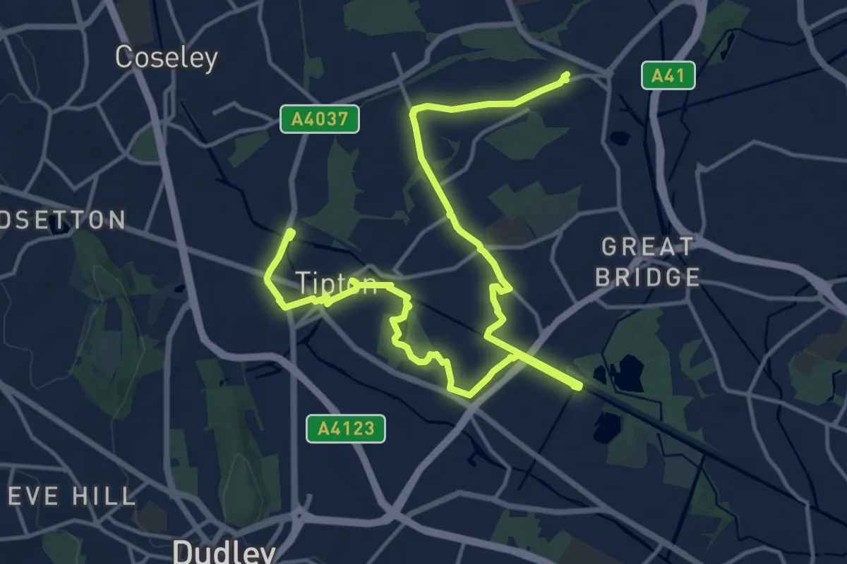
Medium · Trail
Walk Tipton Heritage Trail
17.0 km · ↑ 57 m · 4 h 8 min
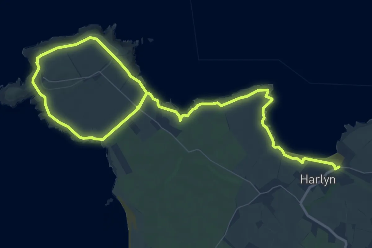
Easy · Trail
Walk to Trevose Head from the bus stop, North Cornwall
6.0 km · ↑ 116 m · 1 h 45 min
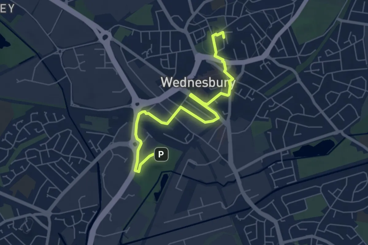
Easy · Summit
Walk Wednesbury Heritage Trail
5.8 km · ↑ 49 m · 1 h 28 min
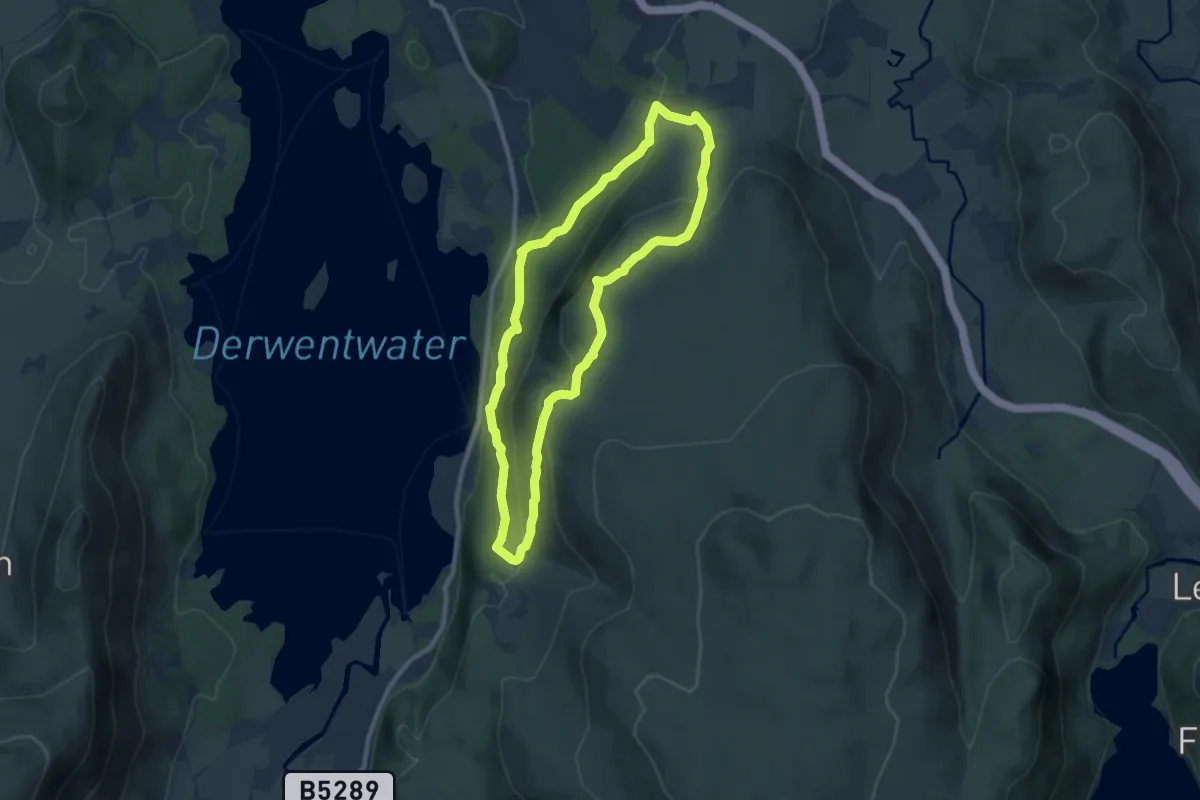
Medium · Summit
Walla Crag to Ashness Bridge walk, North Lakes Outdoors
7.1 km · ↑ 310 m · 2 h 27 min
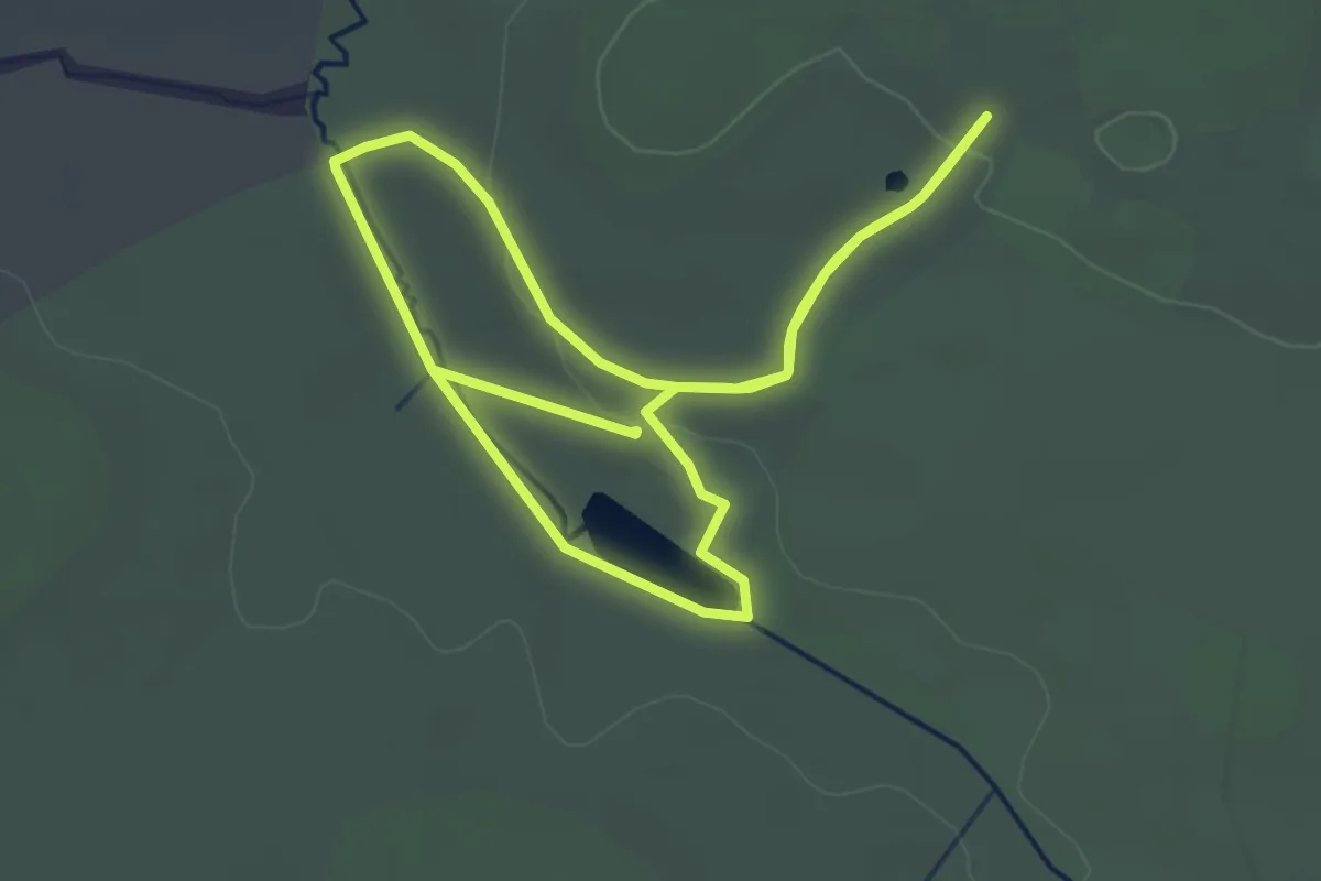
Easy · Trail
Walled Garden and Canal Walk, Ickworth Estate
2.9 km · ↑ 38 m · 49 min
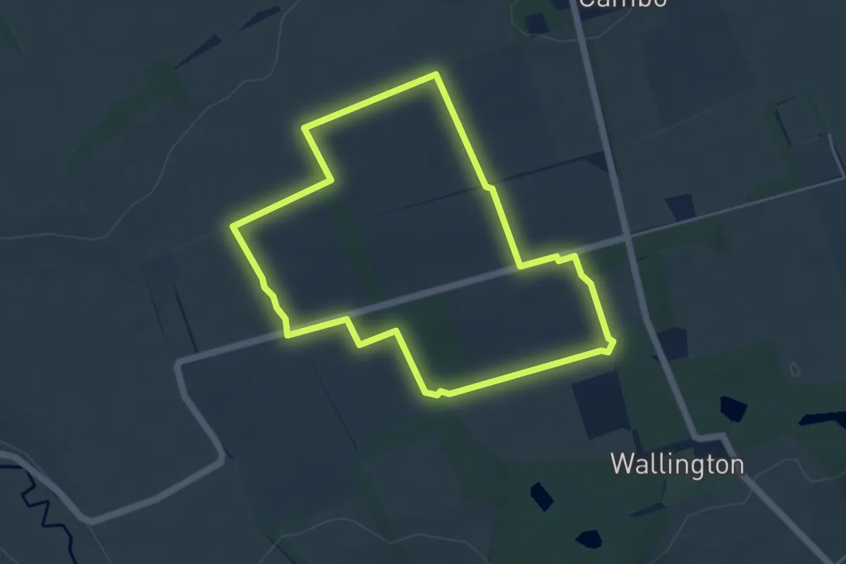
Easy · Trail
Wallington Farms Walk
3.5 km · ↑ 31 m · 56 min
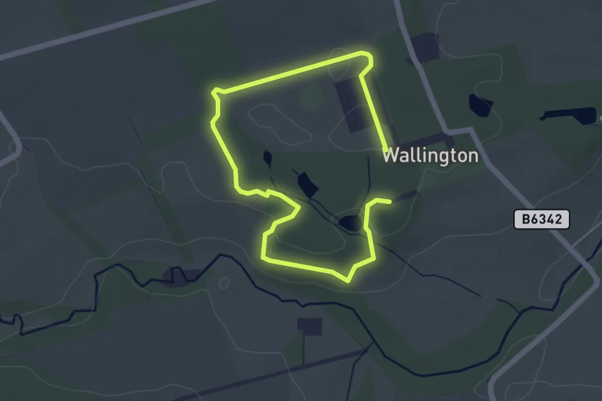
Easy · Trail
Wallington Pine Marten Trail
4.6 km · ↑ 42 m · 1 h 11 min
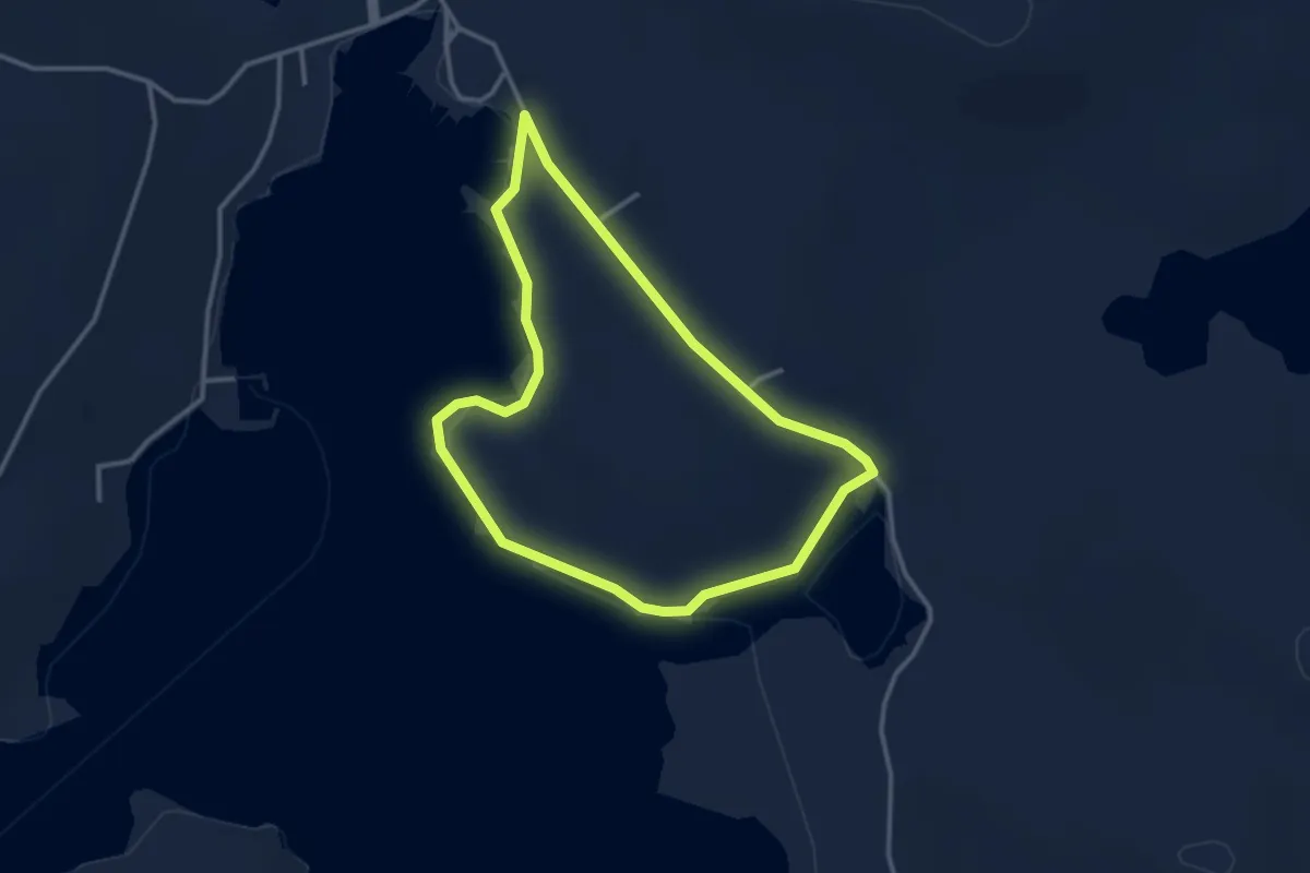
Easy · Trail
Walls Marina to Houb (saltness)
2.2 km · ↑ 14 m · 35 min
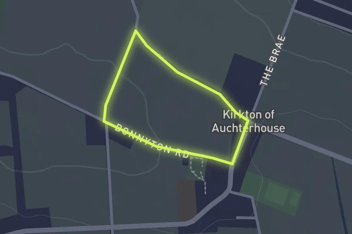
Easy · Trail
Wally's Wynd
1.1 km · ↑ 8 m · 18 min
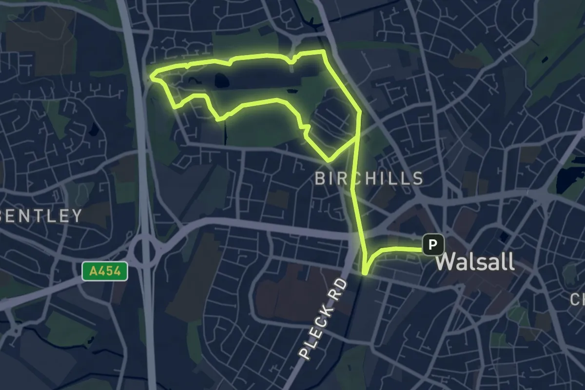
Easy · Summit
Walsall Walk of Art
5.3 km · ↑ 35 m · 1 h 24 min
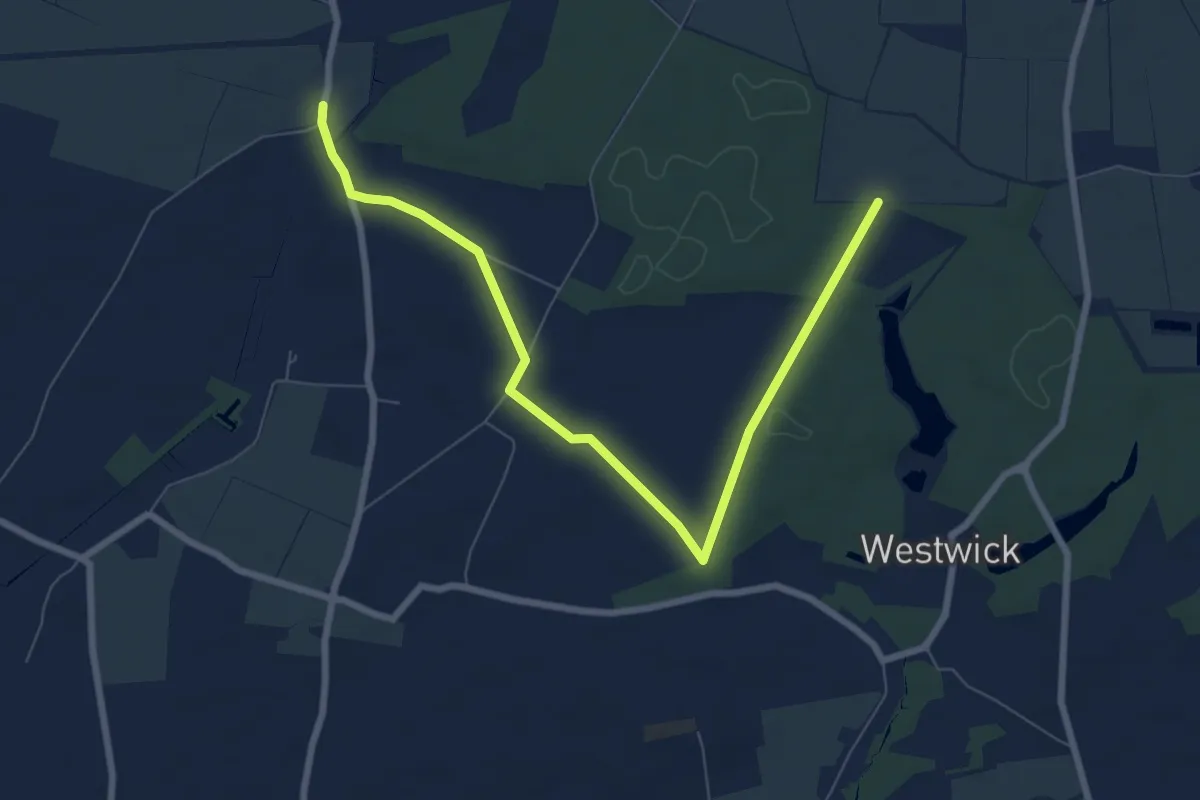
Easy · Trail
Walsham Wood Circular
3.8 km · ↑ 26 m · 1 h
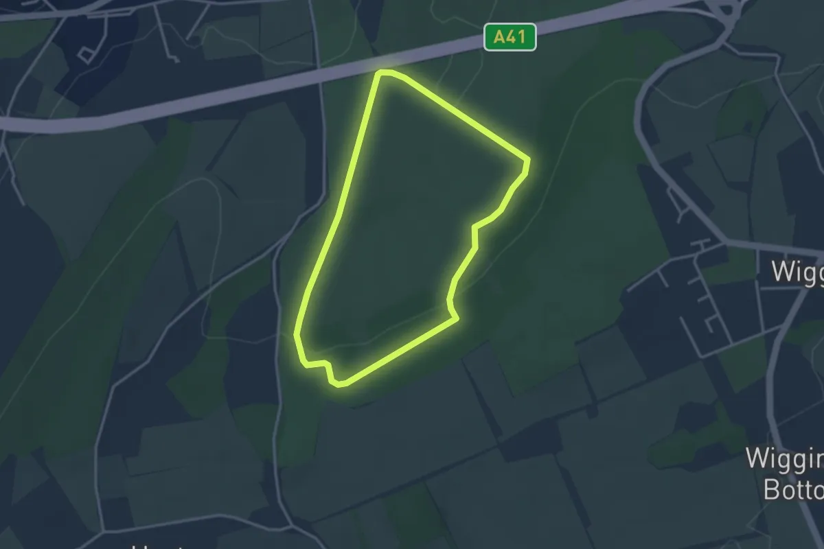
Easy · Trail
Walter's Wander
2.6 km · ↑ 75 m · 49 min
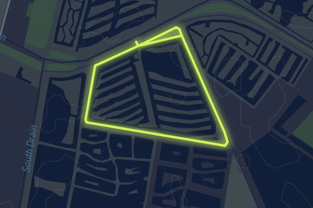
Easy · Trail
Walton Heath Trail
4.1 km · ↑ 0 m · 58 min
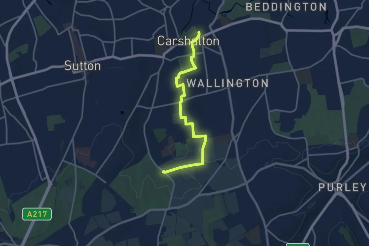
Medium · Trail
Wandle-Oaks Link
9.4 km · ↑ 89 m · 2 h 25 min
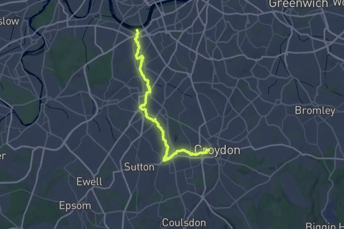
Demanding · Trail
Wandle Trail
19.8 km · ↑ 47 m · 5 h 2 min
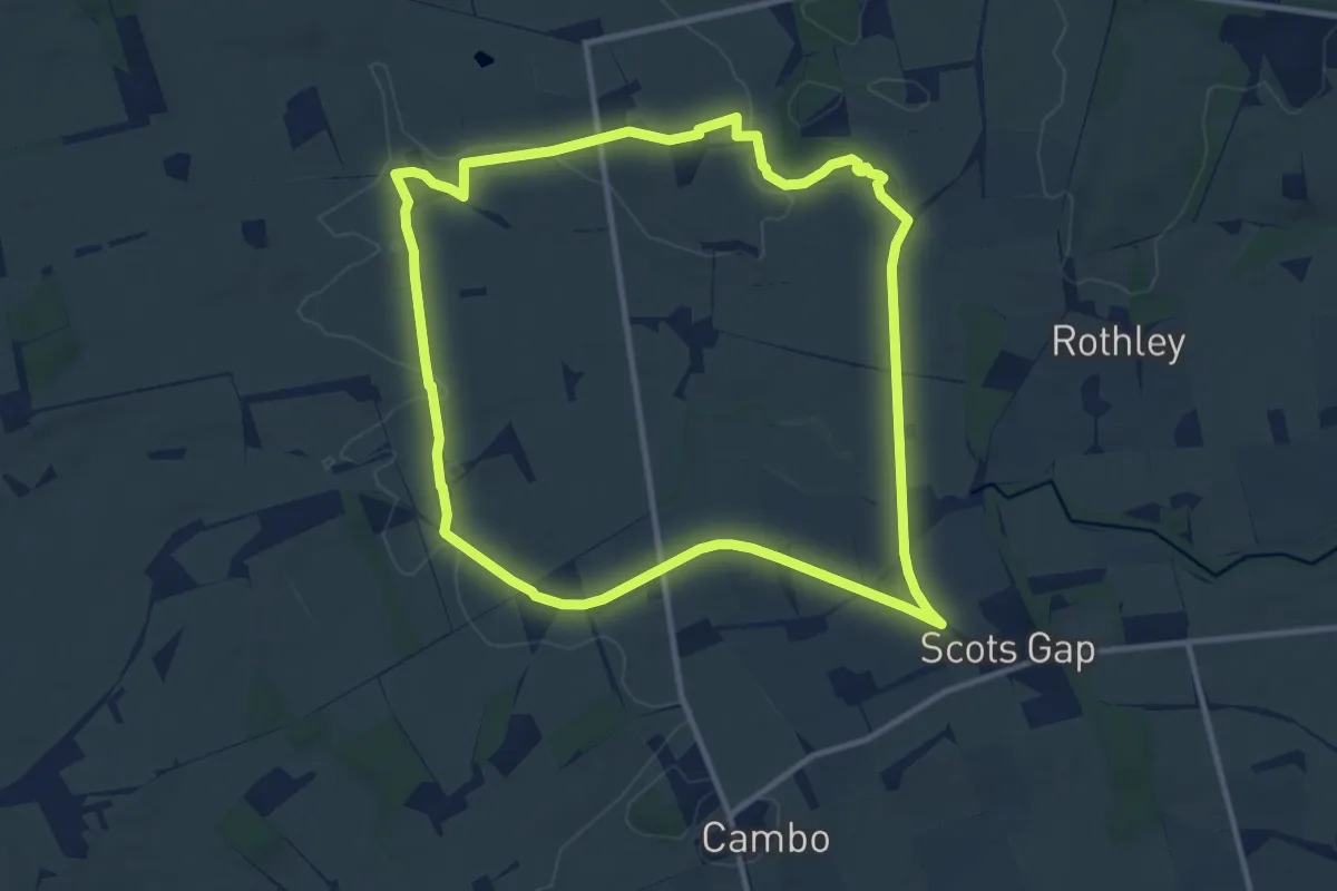
Medium · Trail
Wannie Line Walk, Wallington
9.5 km · ↑ 68 m · 2 h 31 min
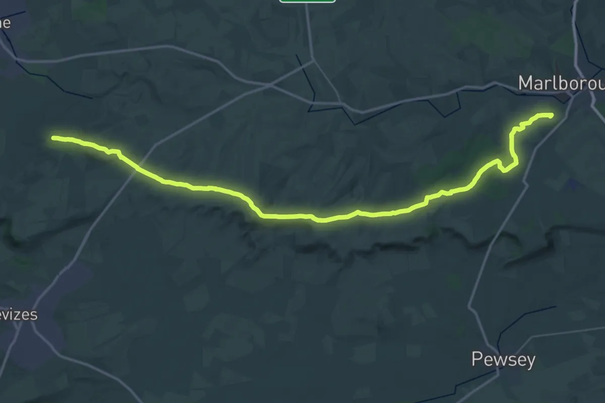
Demanding · Summit
Wansdyke Path
39.5 km · ↑ 711 m · 10 h 52 min
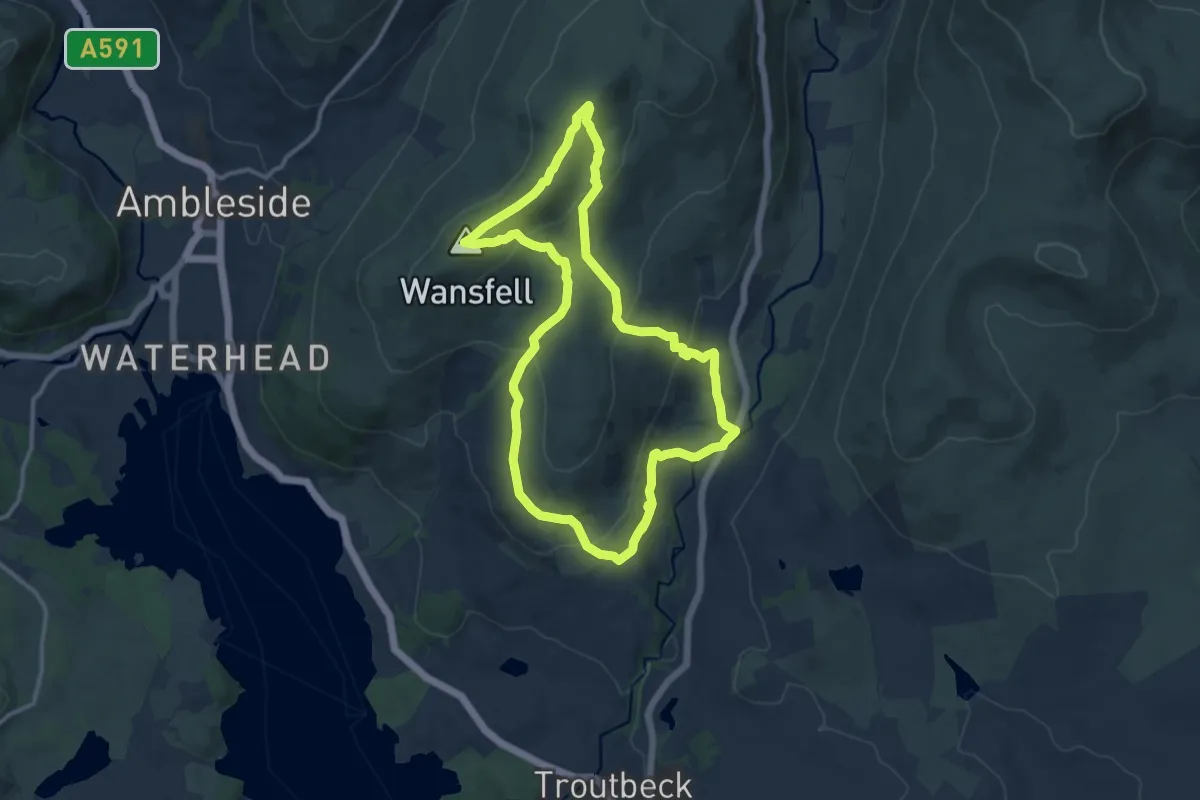
Medium · Summit
Wansfell from Troutbeck Walk, Windermere
10.2 km · ↑ 389 m · 3 h 24 min
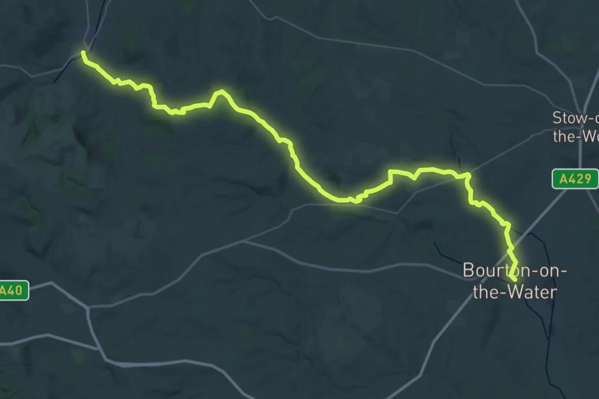
Demanding · Trail
Warden's Way
22.3 km · ↑ 358 m · 6 h 20 min
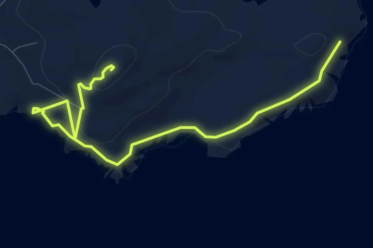
Easy · Summit
Ward of Clett and Hevda Field
7.9 km · ↑ 214 m · 2 h 19 min