Trails in United Kingdom
3,857 hiking trails, each with its route, climb, walking time and grade.
All trails, page 75 of 81
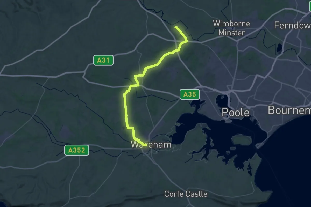
Demanding · Trail
Wareham Forest Way
20.0 km · ↑ 142 m · 5 h 18 min
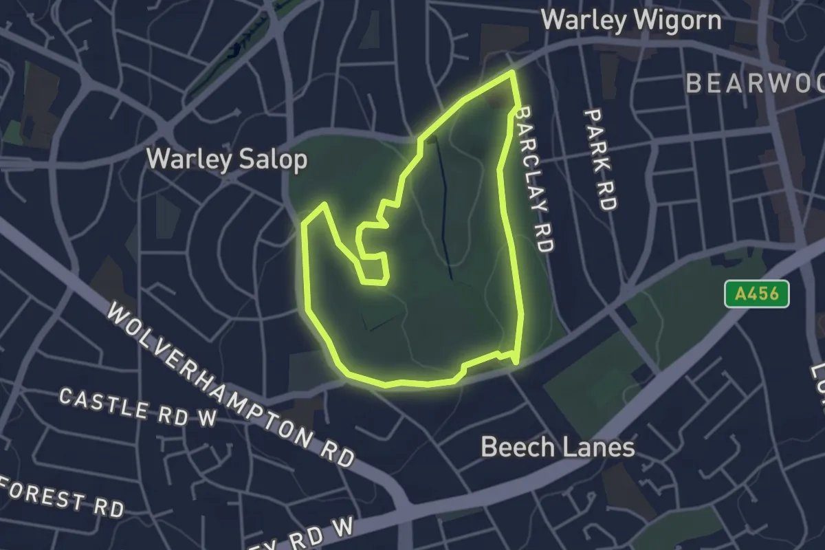
Easy · Summit
Warley Woods History Trail
3.1 km · ↑ 42 m · 51 min
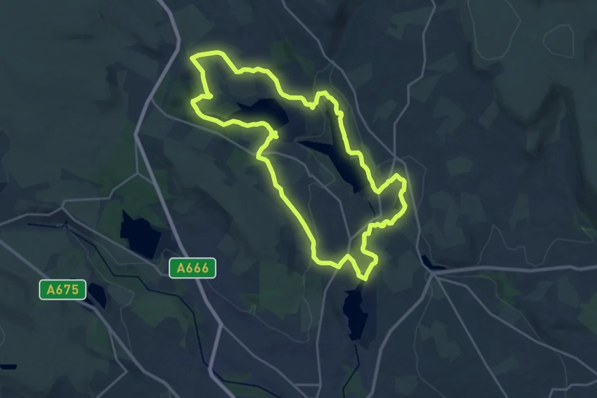
Medium · Trail
Warpers Trail - Witton Weavers Way
14.2 km · ↑ 270 m · 4 h 8 min
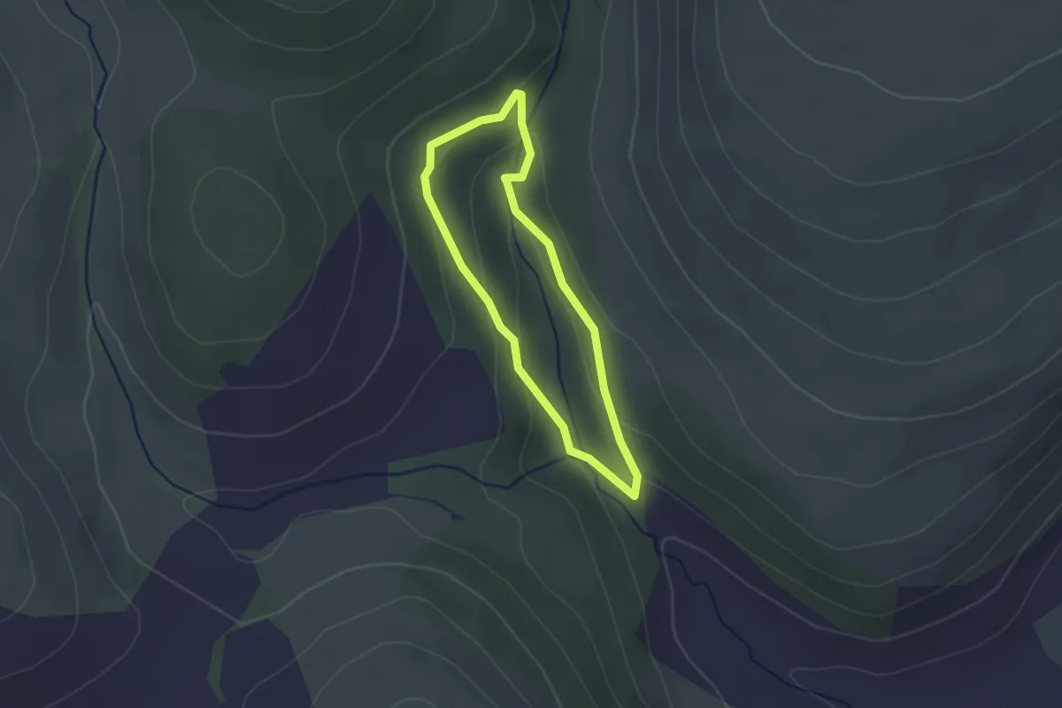
Easy · Trail
Warren Trail
1.8 km · ↑ 71 m · 37 min
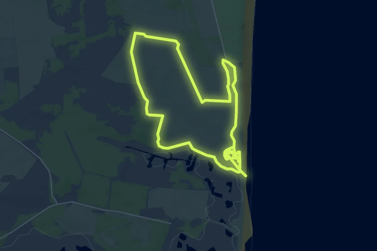
Easy · Trail
Wartime Trail, Dunwich Heath
5.4 km · ↑ 32 m · 1 h 24 min
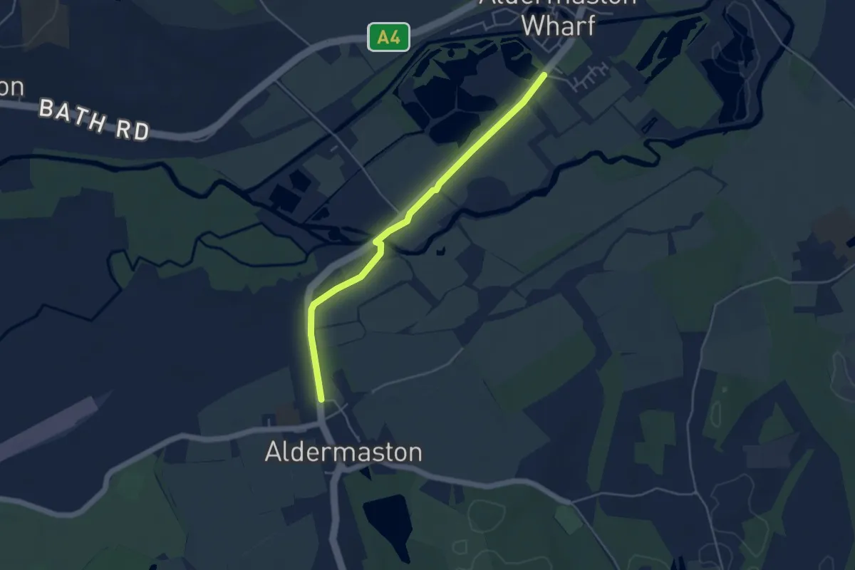
Easy · Trail
Wasing Way
4.0 km · ↑ 0 m · 57 min
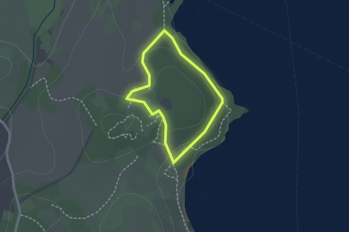
Easy · Trail
Watbarrow Wood Waymarked Walk, Wray Castle
1.0 km · ↑ 19 m · 18 min
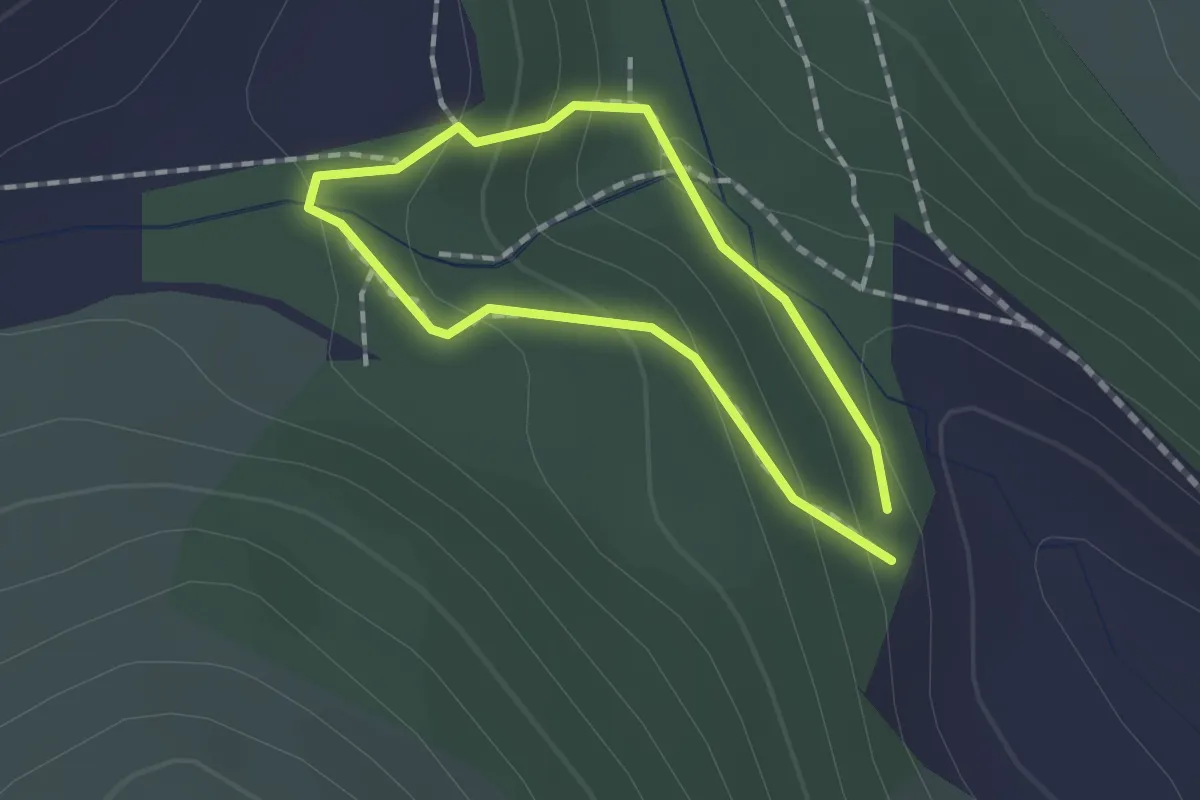
Easy · Trail
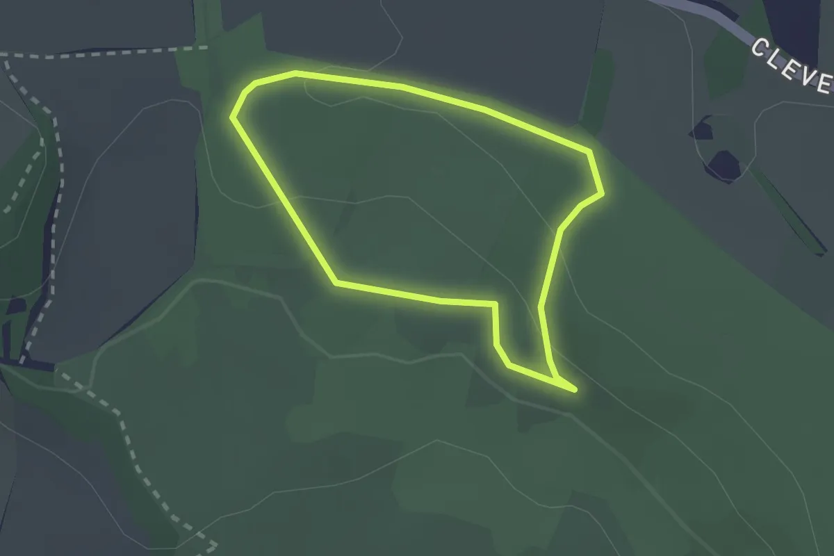
Water-Break-its-Neck Trail
1.0 km · ↑ 58 m · 23 min
Easy · Trail
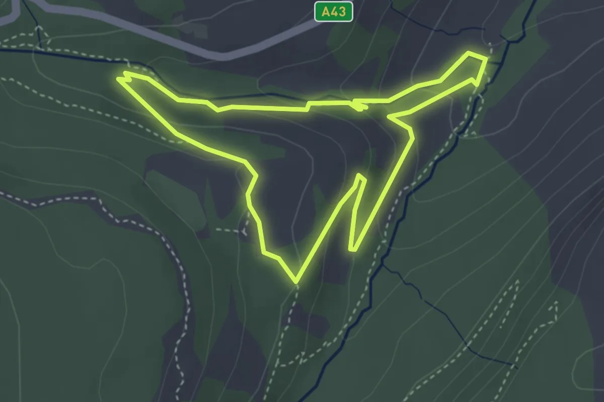
Watercatch Walk, Tyntesfield
1.7 km · ↑ 45 m · 31 min
Easy · Trail
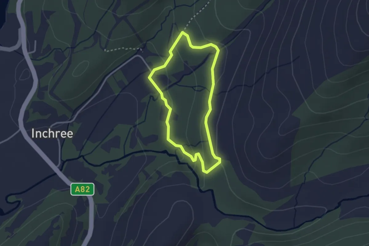
Waterfall Trail
3.0 km · ↑ 130 m · 1 h 1 min
Easy · Trail
Waterfall Walk
1.9 km · ↑ 71 m · 38 min
Demanding · Trail
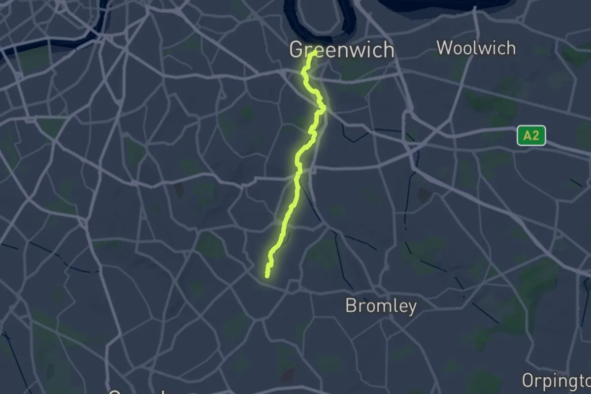
Waterlink Way
20.0 km · ↑ 30 m · 4 h 48 min
Easy · Trail
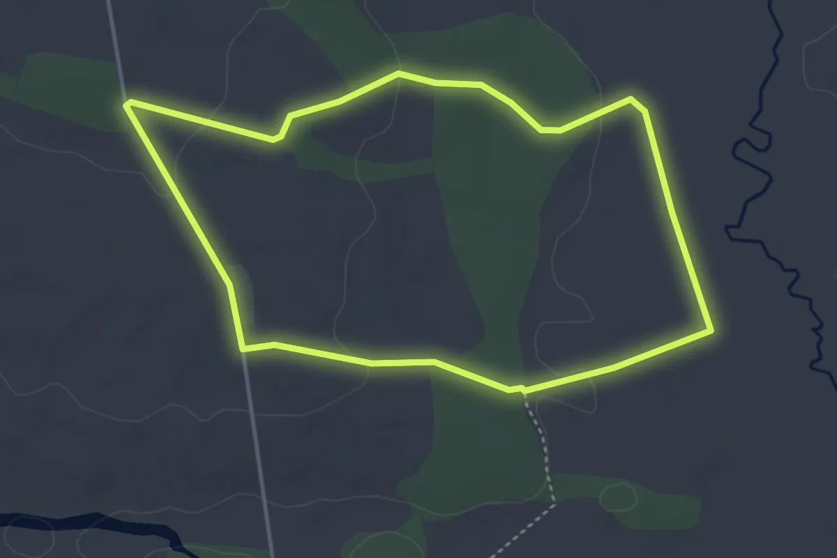
Watermeadows Walk, Sherborne Park Estate
3.5 km · ↑ 49 m · 1 h
Easy · Trail
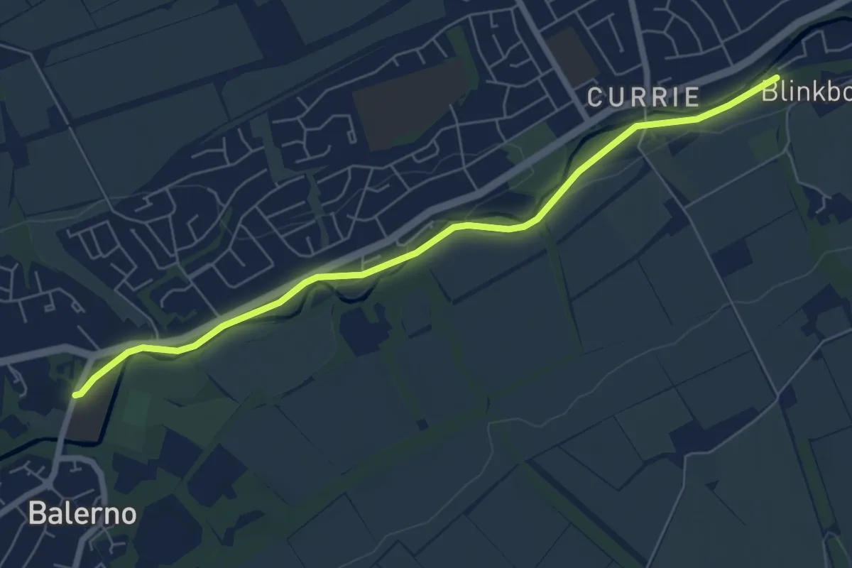
Water of Leith Walkway (Balerno to Currie)
5.4 km · ↑ 21 m · 1 h 19 min
Medium · Trail
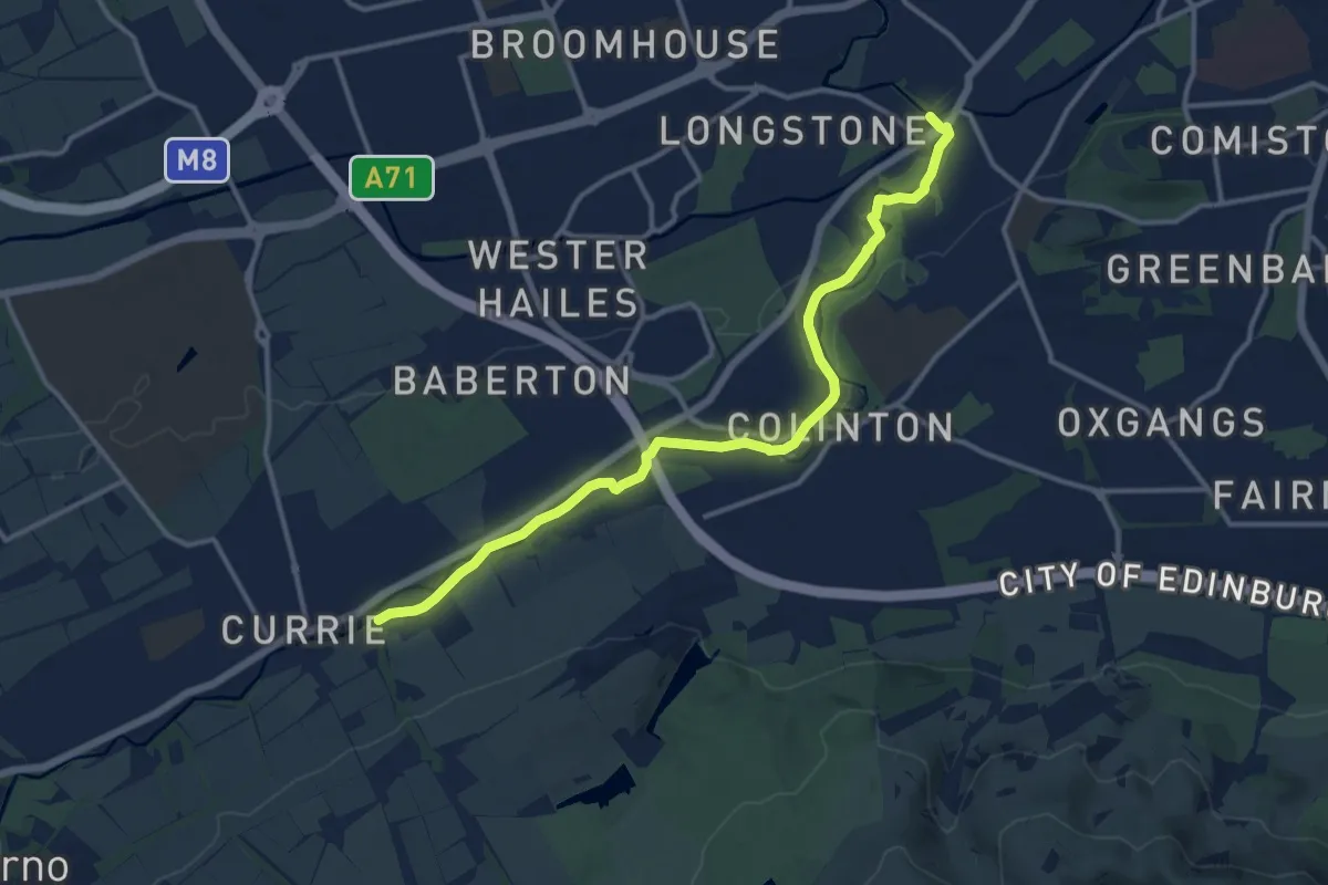
Water of Leith Walkway (Currie to Slateford)
11.2 km · ↑ 116 m · 2 h 53 min
Demanding · Trail
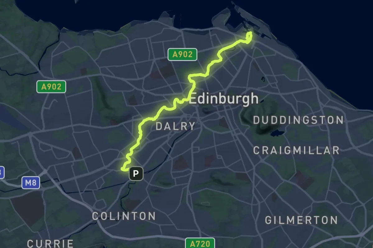
Water of Leith Walkway (Slateford to Leith)
24.6 km · ↑ 94 m · 6 h
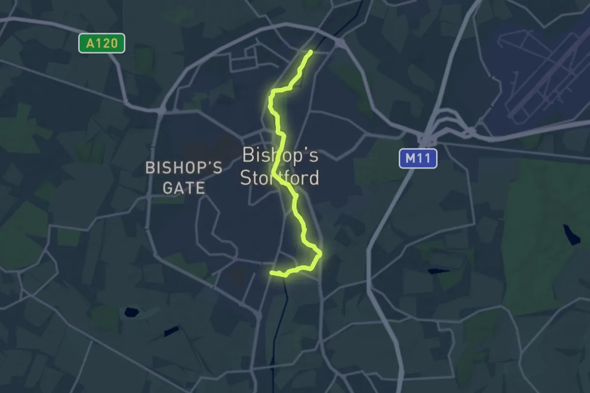
Medium · Trail
Waterside Stortford
10.9 km · ↑ 14 m · 2 h 37 min
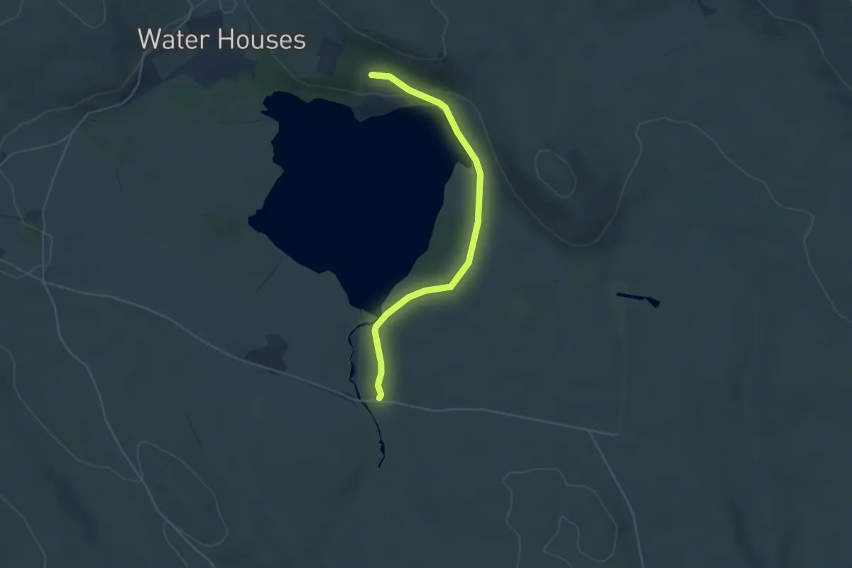
Easy · Trail
Watersinks to Malham Tarn Easy Stroll, Malham
2.0 km · ↑ 46 m · 34 min
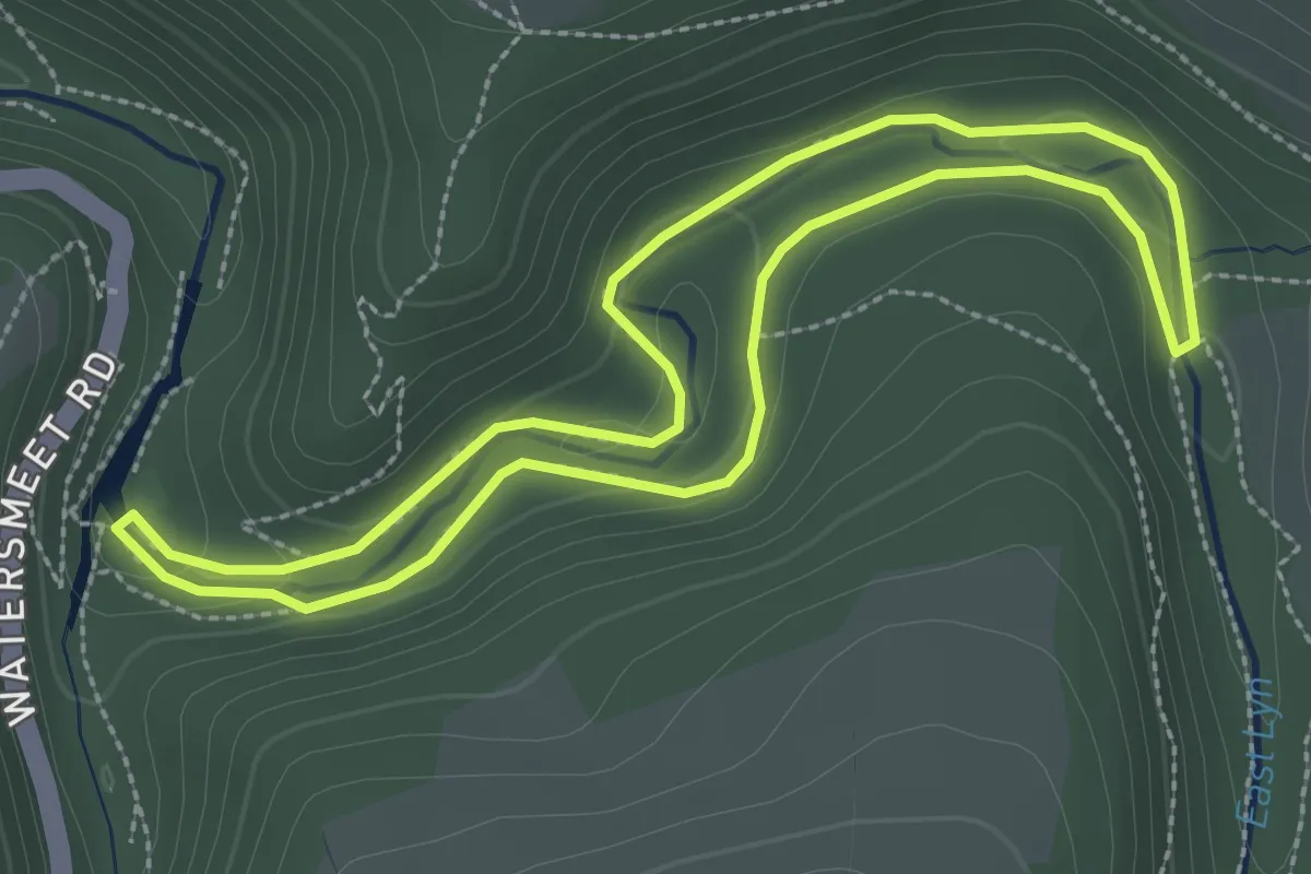
Easy · Trail
Watersmeet to Ash Bridge circular walk
2.5 km · ↑ 52 m · 44 min
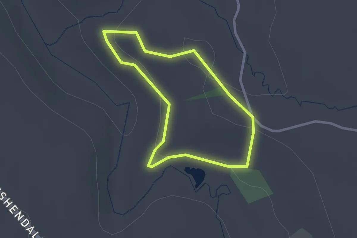
Easy · Trail
Watertop Farm Trail
1.6 km · ↑ 29 m · 28 min
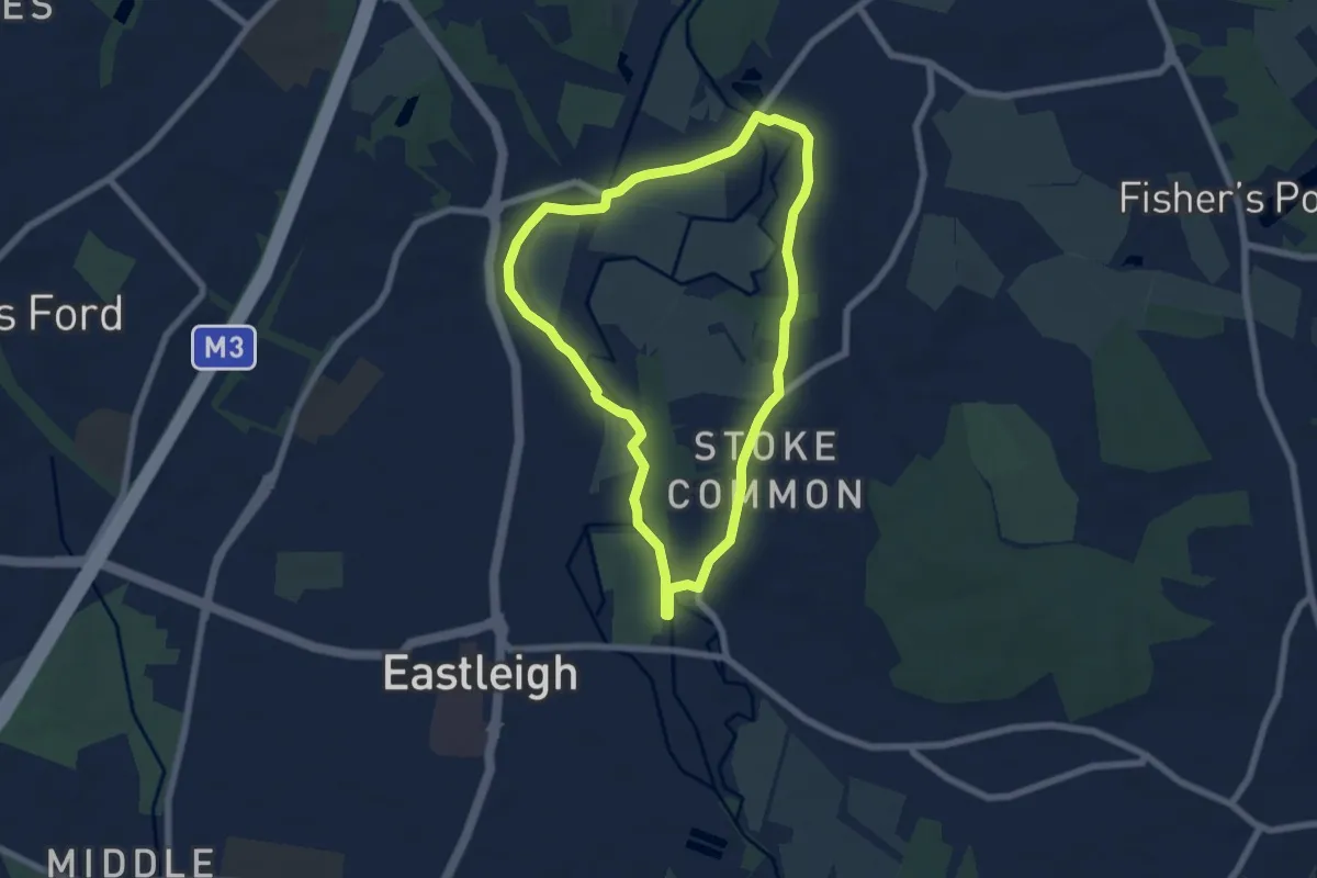
Easy · Trail
Water Vole Way
5.7 km · ↑ 39 m · 1 h 30 min
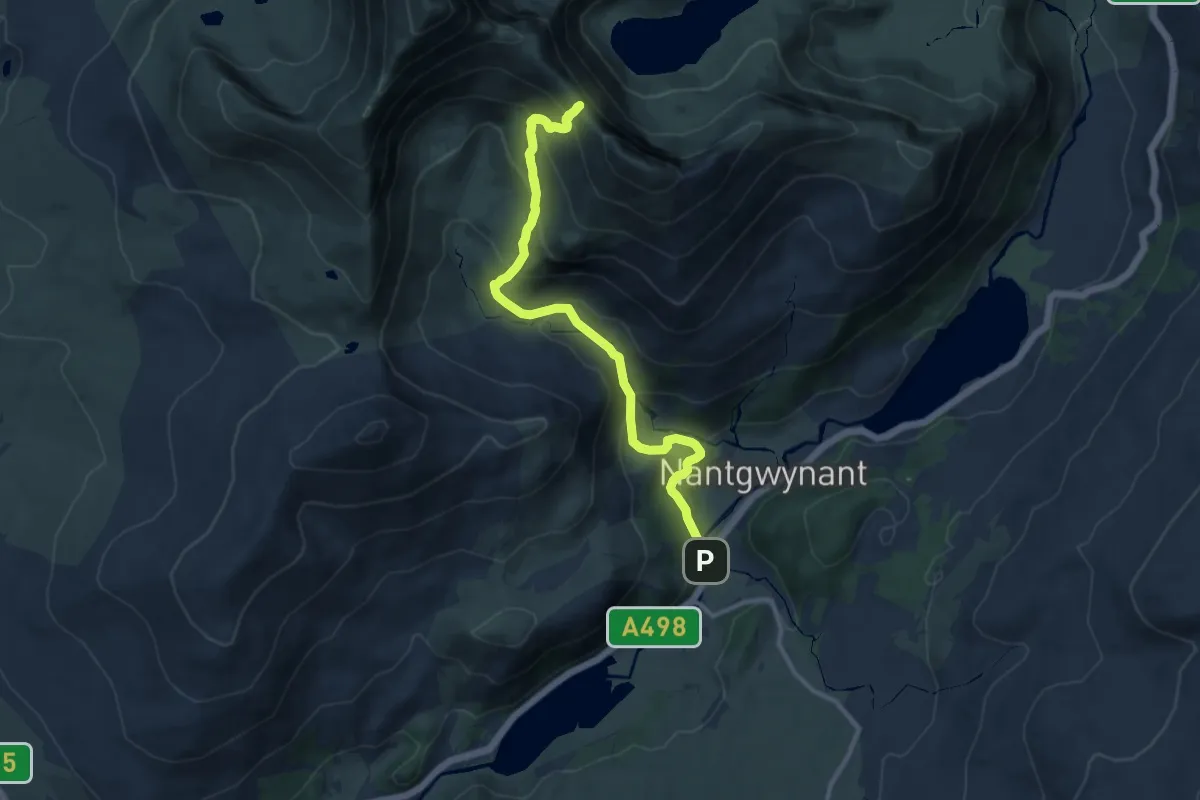
Demanding · Trail
Watkin Path
12.5 km · ↑ 973 m · 5 h 3 min
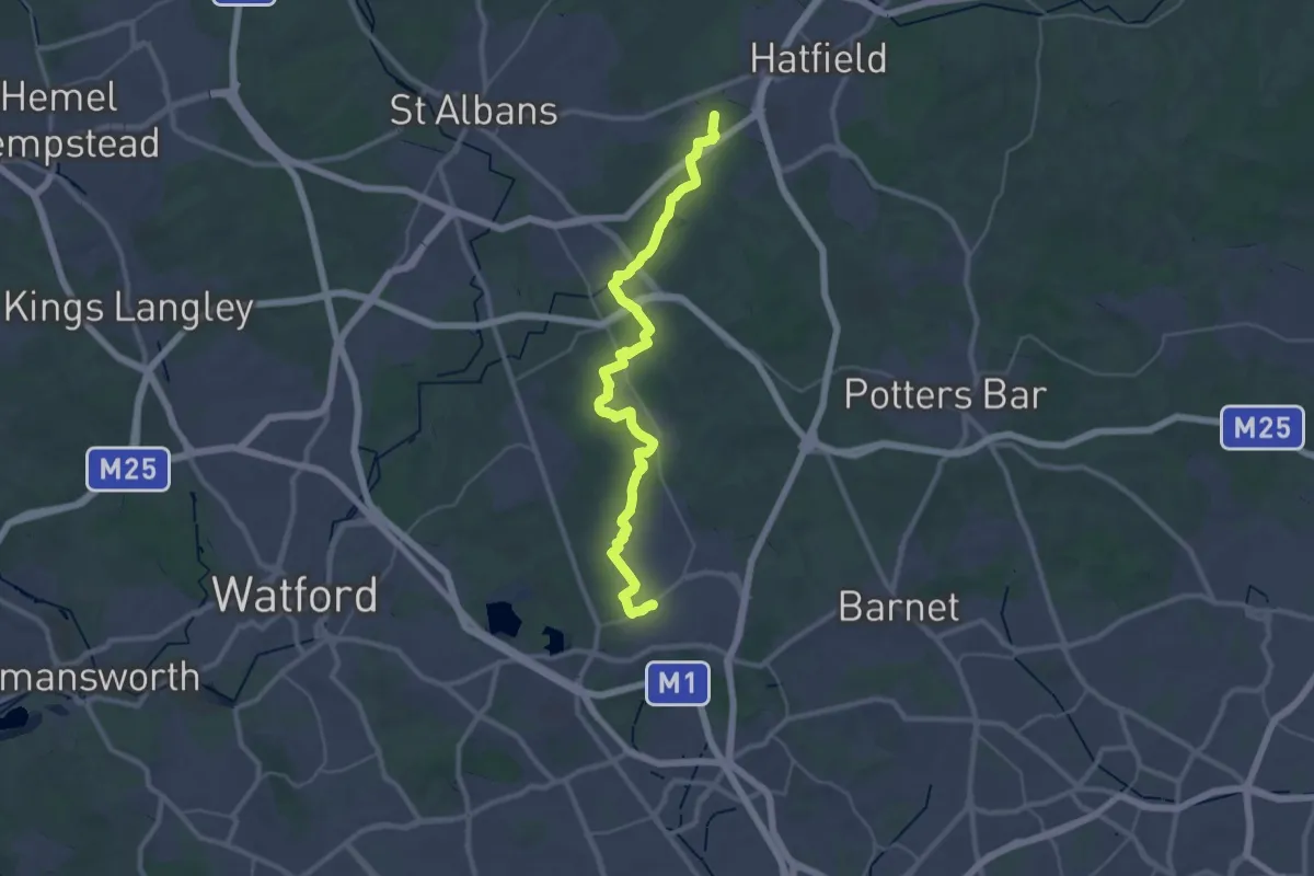
Medium · Trail
Watling Chase Timberland Trail
16.6 km · ↑ 95 m · 4 h 21 min
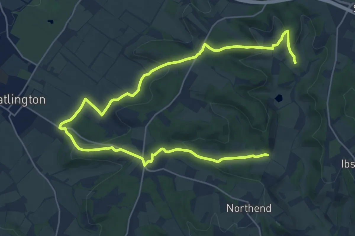
Medium · Trail
Watlington Hill and the Wormsley Estate walk, Watlington Hill
10.9 km · ↑ 285 m · 3 h 20 min
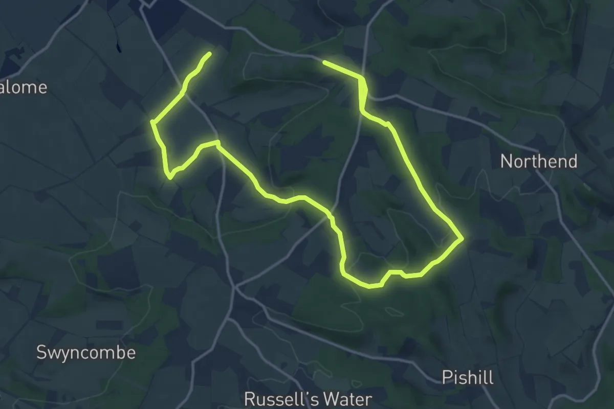
Medium · Trail
Watlington Hill Circular walk, Watlington Hill
10.8 km · ↑ 135 m · 3 h 3 min
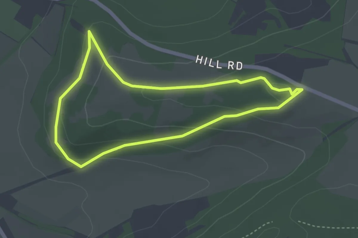
Easy · Trail
Watlington Hill Short Walk, Watlington Hill
2.9 km · ↑ 104 m · 57 min
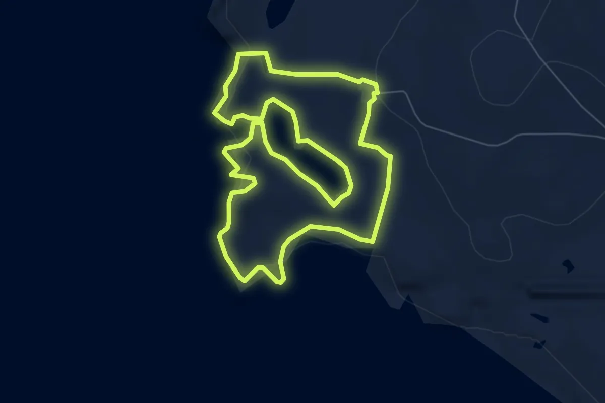
Easy · Trail
Watness Coastal
5.4 km · ↑ 210 m · 1 h 48 min
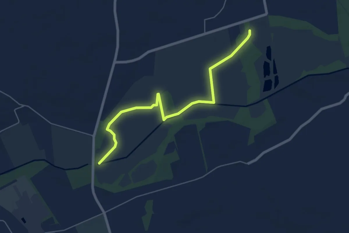
Easy · Trail
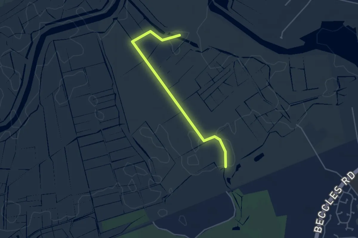
Waveney Trail
4.9 km · ↑ 0 m · 1 h 10 min
Easy · Trail
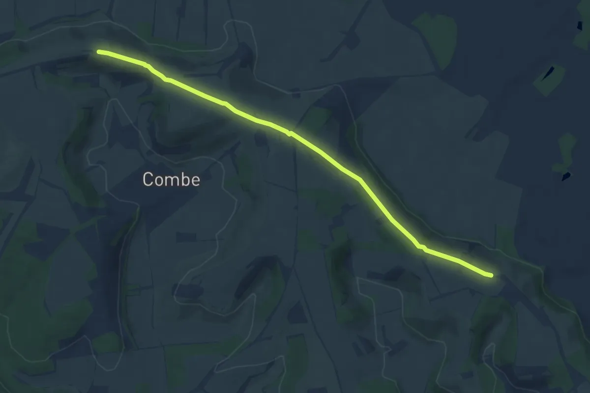
Waveney Valley Walks - Carlton Marshes
1.7 km · ↑ 0 m · 26 min
Medium · Summit
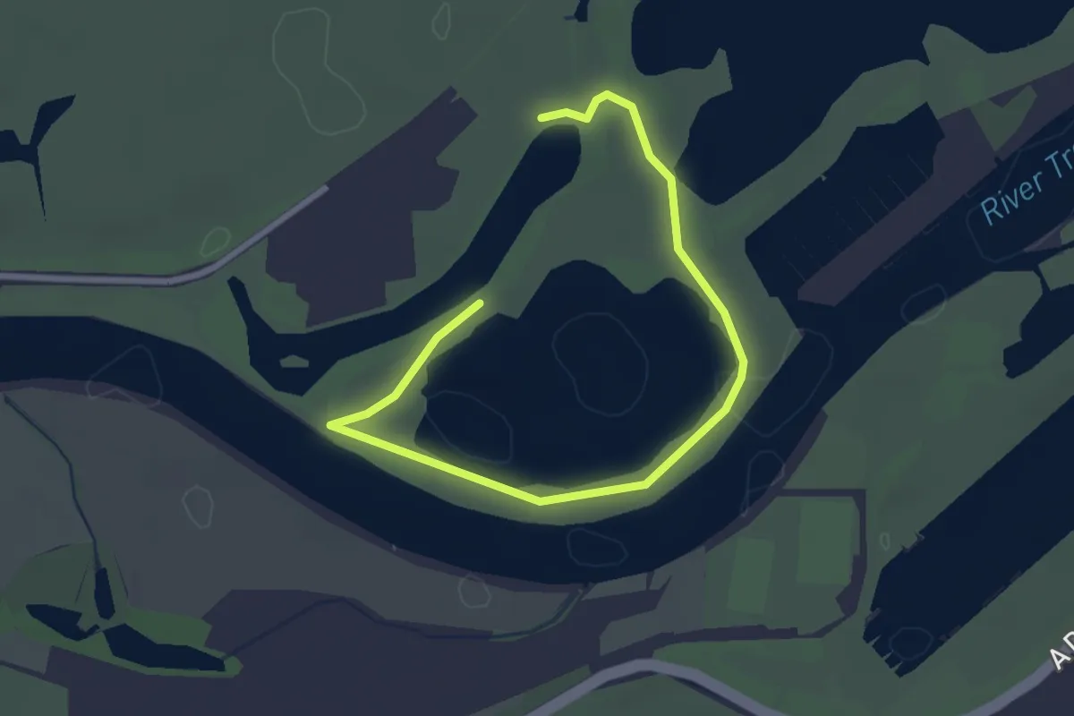
Wayfarers Walk
9.0 km · ↑ 151 m · 2 h 27 min
Easy · Trail
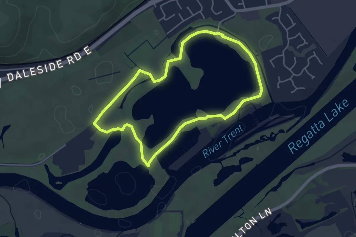
Waymarked Trail 1
3.0 km · ↑ 0 m · 42 min
Easy · Trail
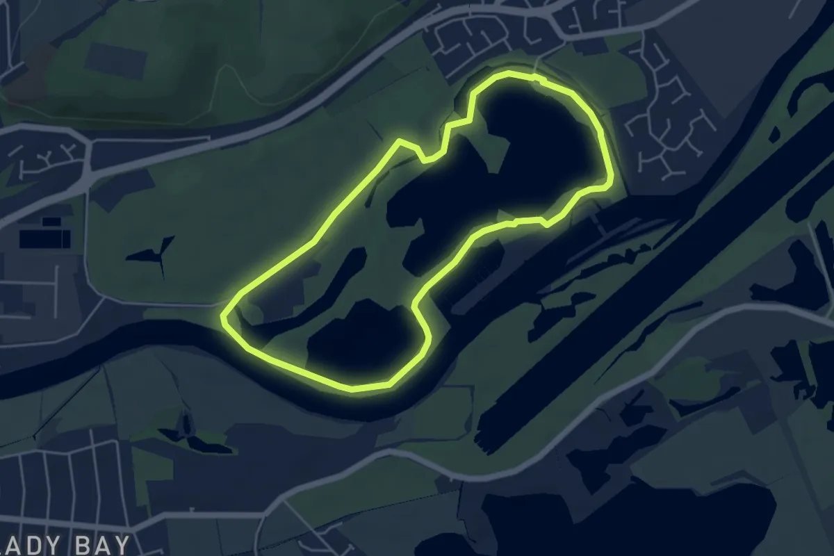
Waymarked Trail 2
3.1 km · ↑ 0 m · 47 min
Easy · Trail
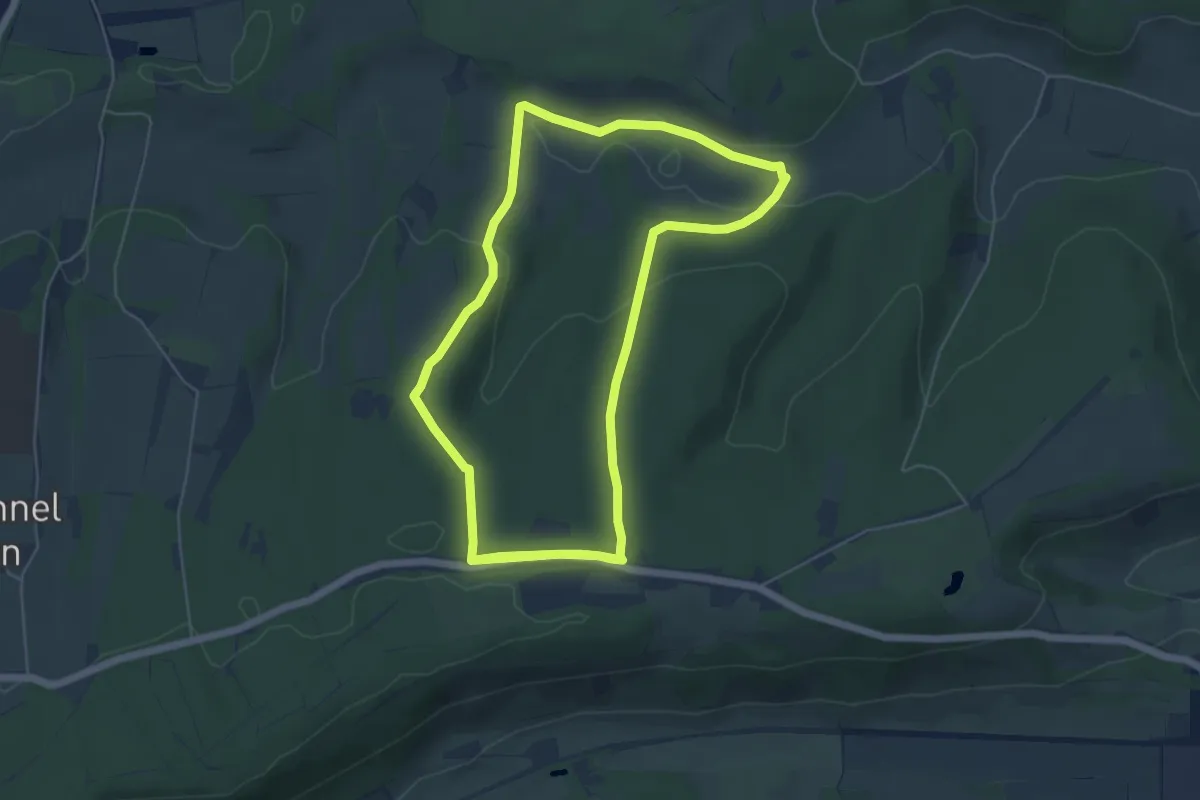
Waymarked Trail 3
4.1 km · ↑ 0 m · 1 h 1 min
Easy · Trail
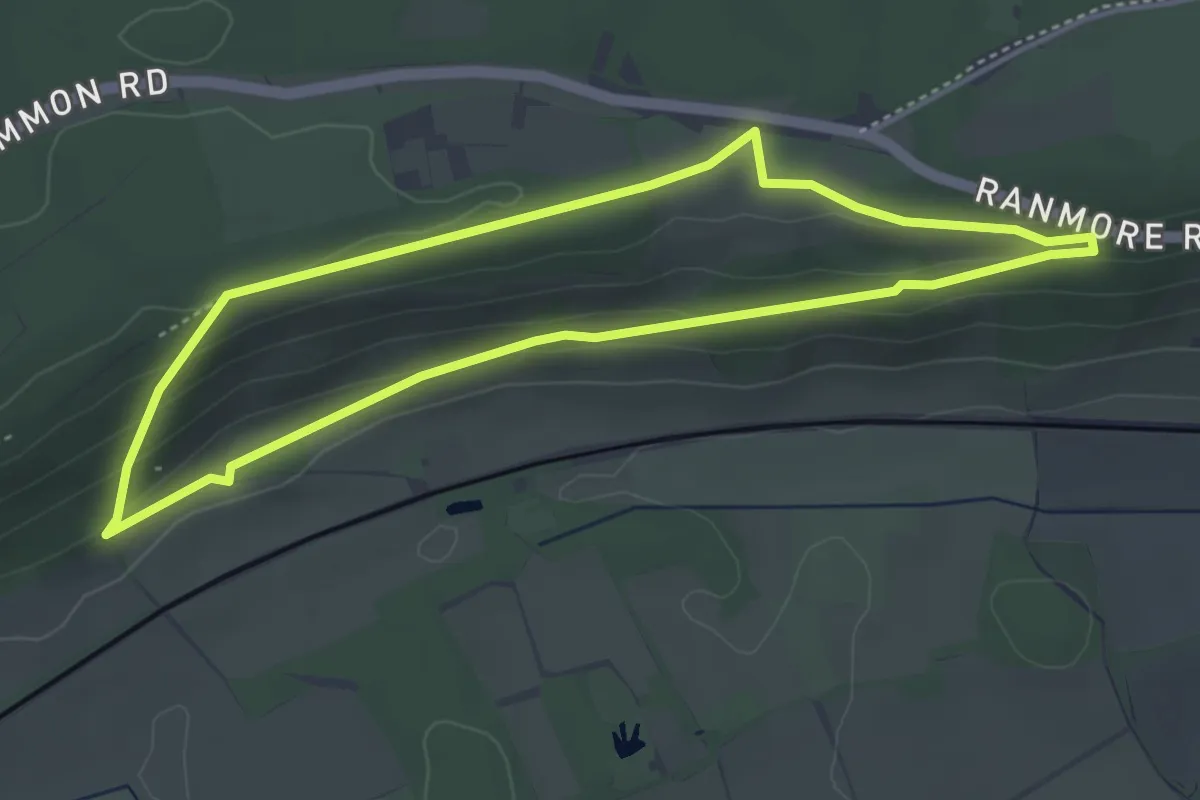
Waymarked Walk at Ranmore Common, North Downs West
5.3 km · ↑ 117 m · 1 h 34 min
Easy · Trail
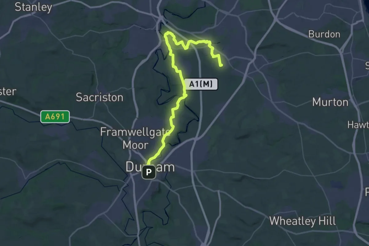
Waymarked Walk at Ranmore Common, North Downs West
3.8 km · ↑ 86 m · 1 h 8 min
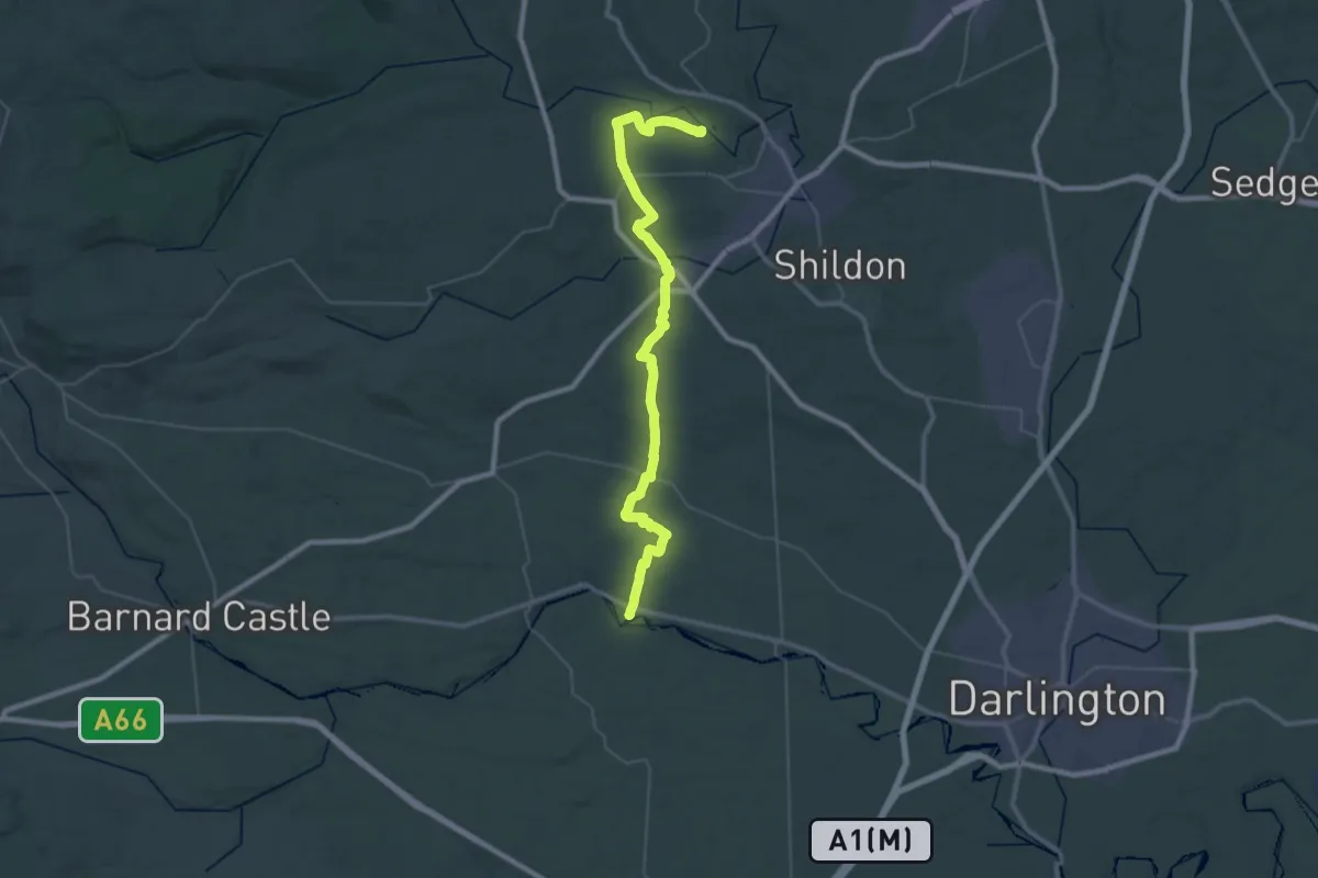
Demanding · Pilgrim path
Way of Learning
18.6 km · ↑ 179 m · 5 h 2 min
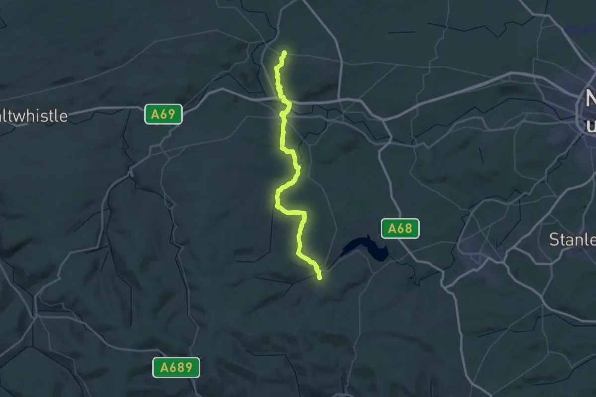
Demanding · Pilgrim path
Way of Life - Gainford to Escomb
20.3 km · ↑ 217 m · 5 h 32 min
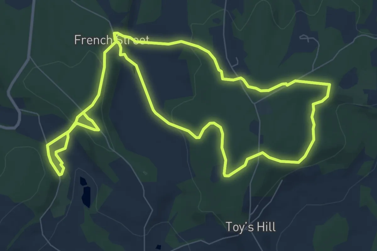
Demanding · Trail
Way of Light
27.8 km · ↑ 601 m · 8 h 17 min
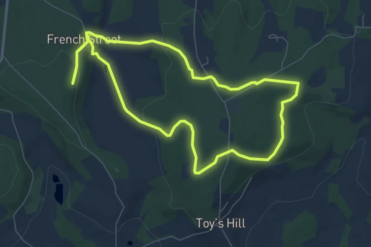
Easy · Trail
Weardale Circular Walk From Chartwell
7.4 km · ↑ 201 m · 2 h 18 min
Easy · Trail
Weardale Walk From Emmetts Garden, Emmetts
5.9 km · ↑ 165 m · 1 h 51 min
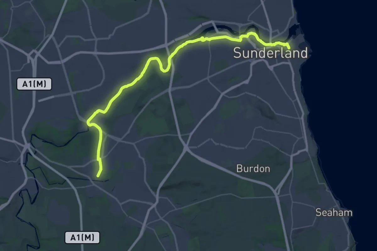
Medium · Trail
Weardale Way
16.7 km · ↑ 98 m · 4 h 25 min
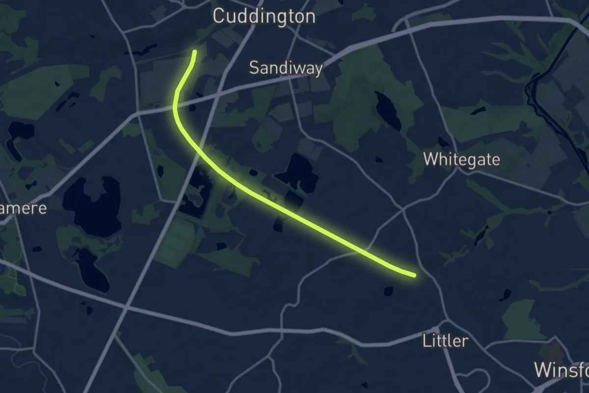
Medium · Trail
Weaver Parkway
10.6 km · ↑ 46 m · 2 h 37 min
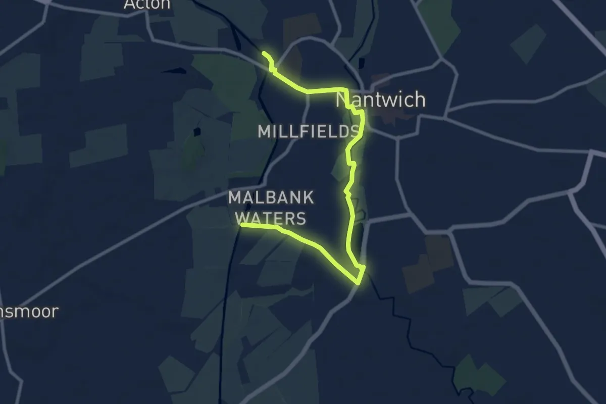
Easy · Trail
Weaver Way (Nantwich Loop)
7.6 km · ↑ 23 m · 1 h 50 min
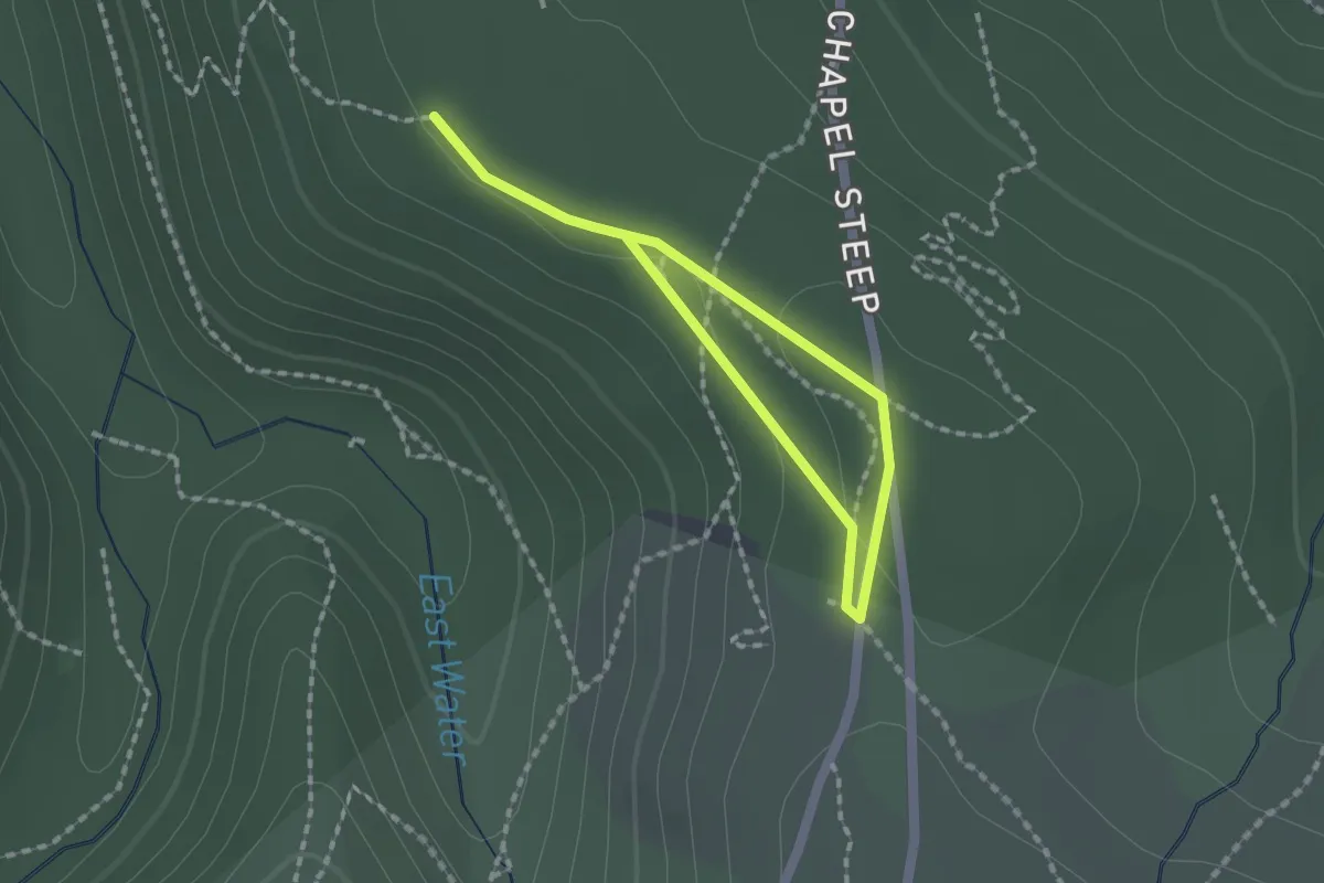
Easy · Trail
Webber's Post wander
1.0 km · ↑ 9 m · 17 min
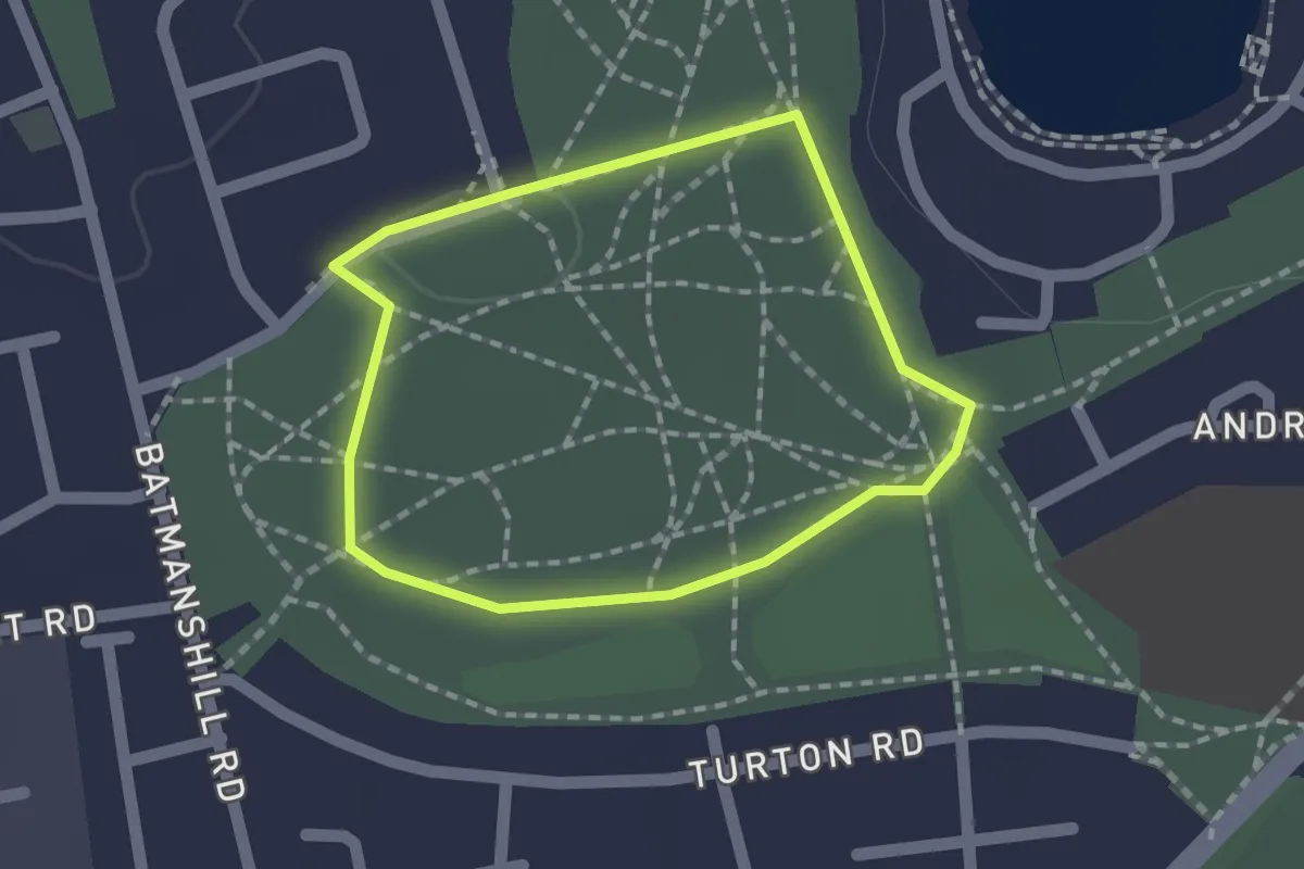
Easy · Trail
Weddell Wynd Circular Health Walk
1.2 km · ↑ 4 m · 18 min
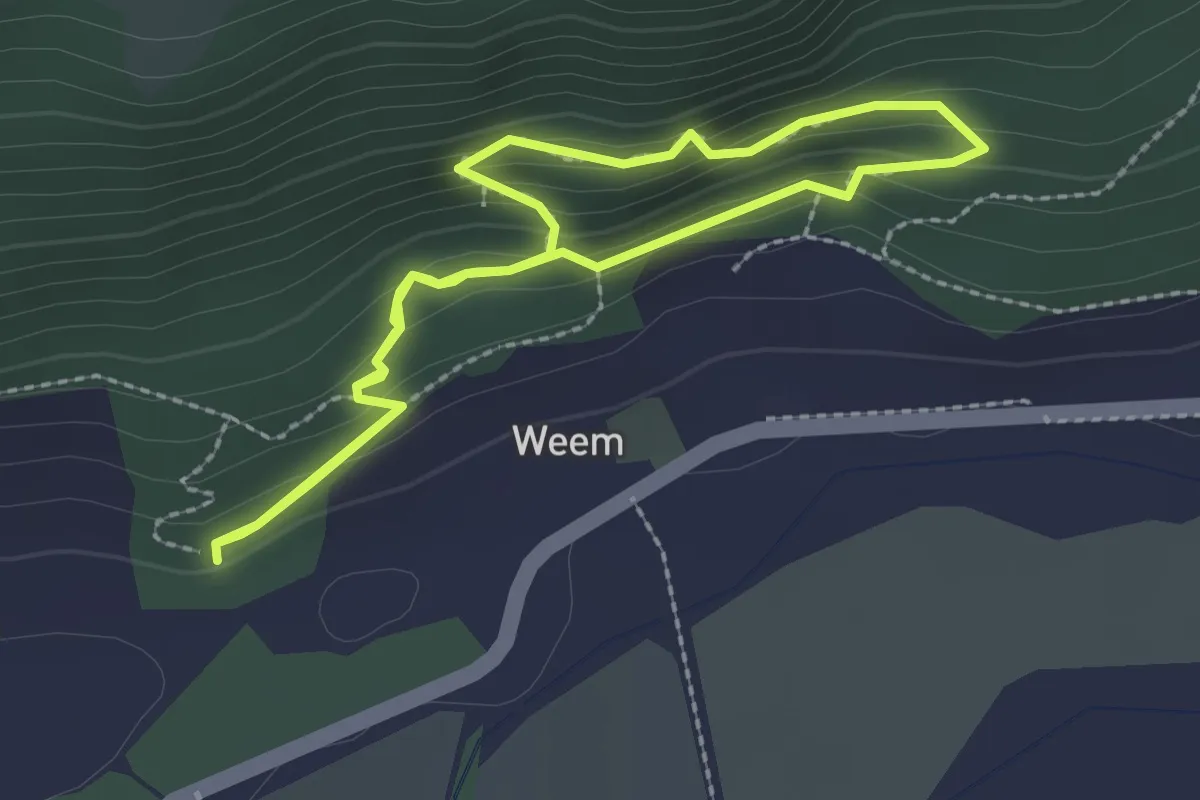
Easy · Trail
Weem Forest Trail
1.7 km · ↑ 115 m · 41 min
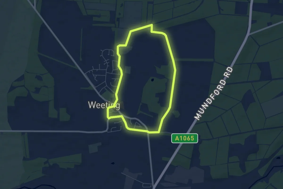
Easy · Trail
Weeting Village Walk
5.0 km · ↑ 4 m · 1 h 16 min
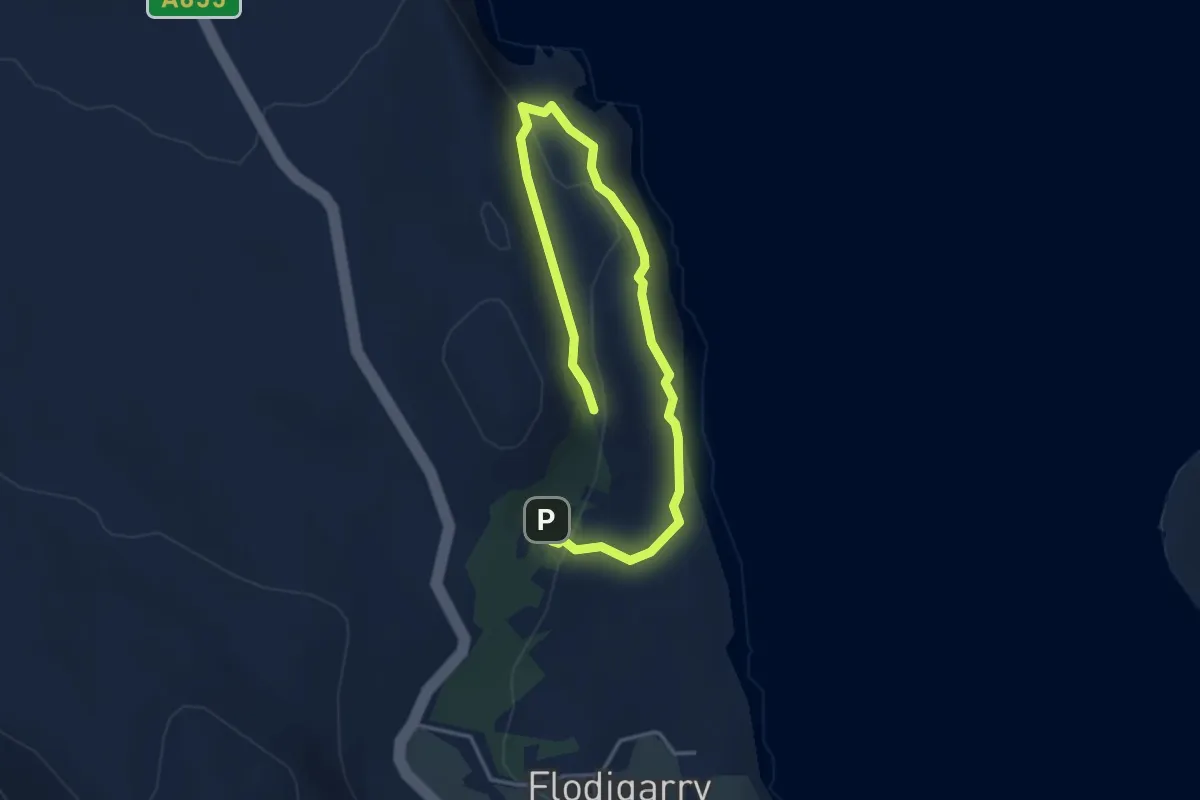
Easy · Trail
Wee Woodland Way
4.0 km · ↑ 148 m · 1 h 16 min