Trails in United Kingdom
3,857 hiking trails, each with its route, climb, walking time and grade.
All trails, page 76 of 81
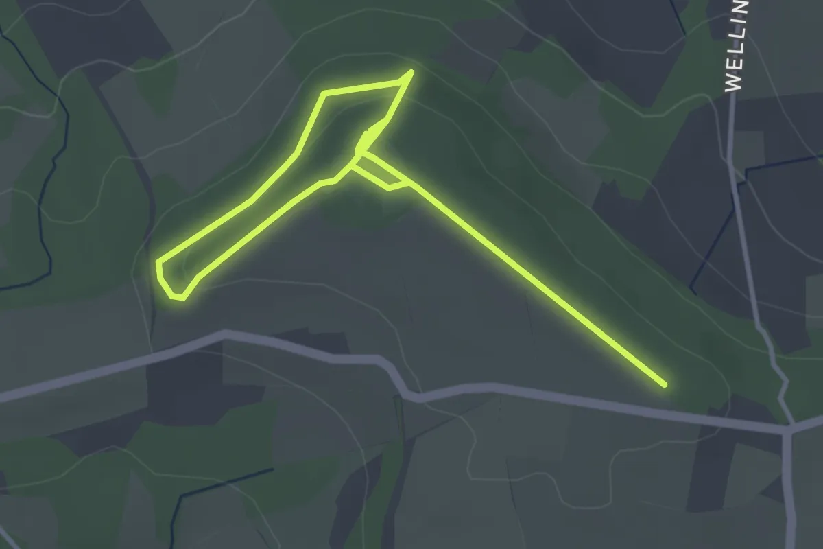
Easy · Trail
Wellington Monument walk
4.7 km · ↑ 120 m · 1 h 22 min
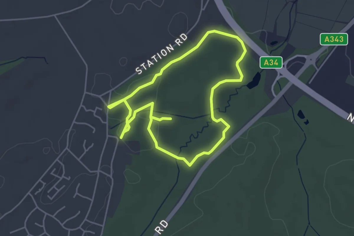
Easy · Trail
Welly Walker, NW Hants
3.4 km · ↑ 17 m · 53 min
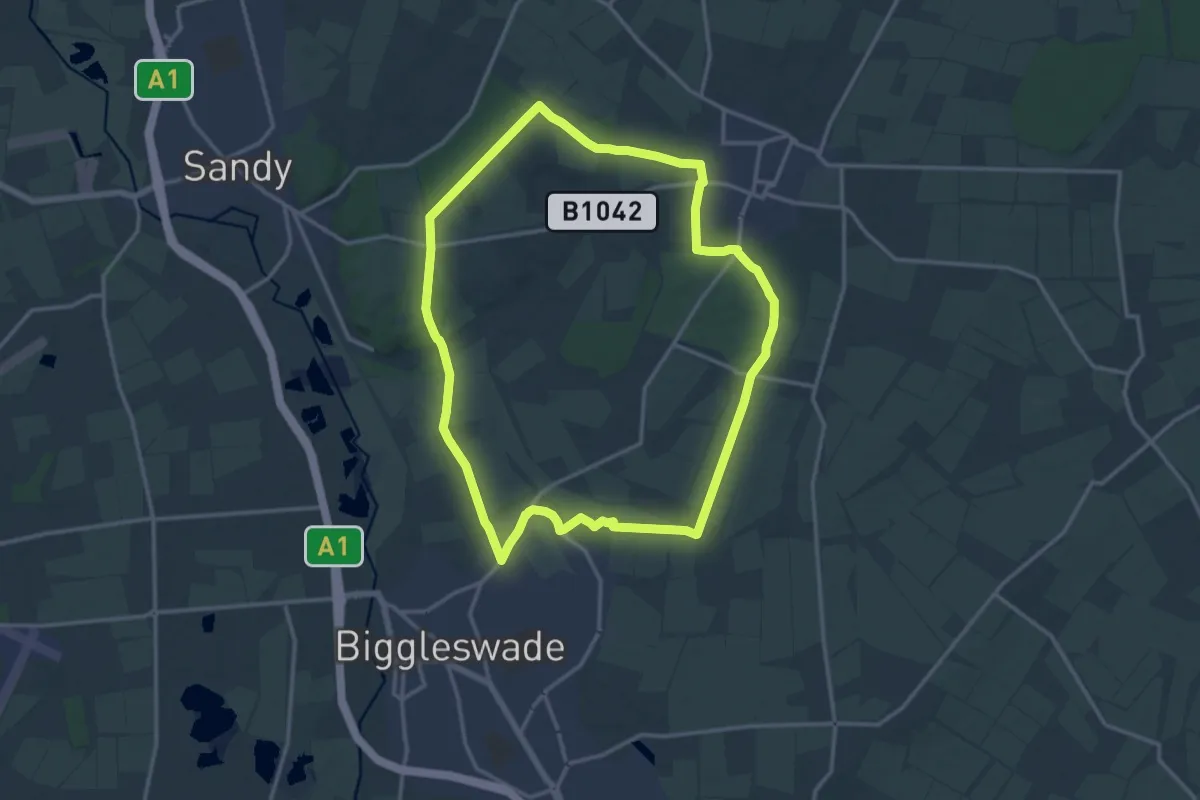
Medium · Trail
Weneslawe Walk
13.2 km · ↑ 44 m · 3 h 24 min
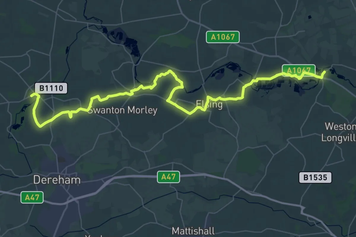
Demanding · Trail
Wensum Way
20.6 km · ↑ 95 m · 5 h 22 min
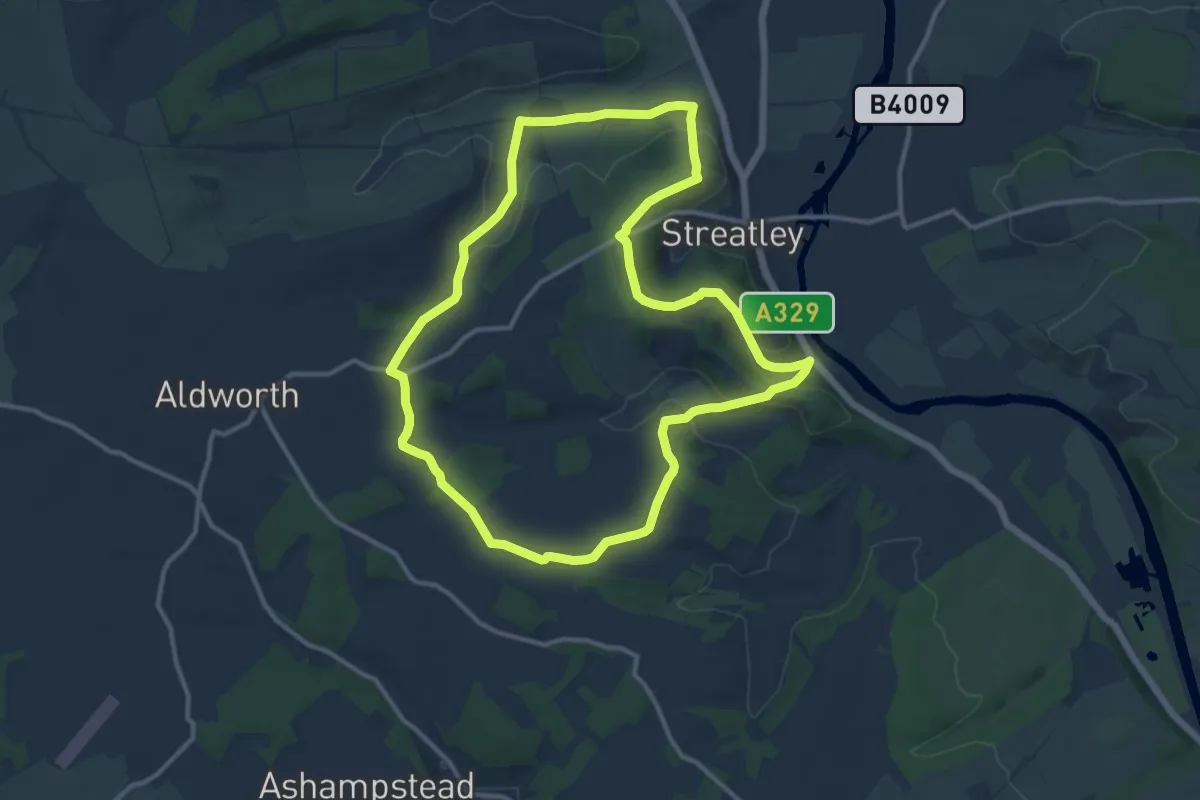
Medium · Trail
West Berkshire Countryside Walk, Goring Gap
11.1 km · ↑ 257 m · 3 h 20 min
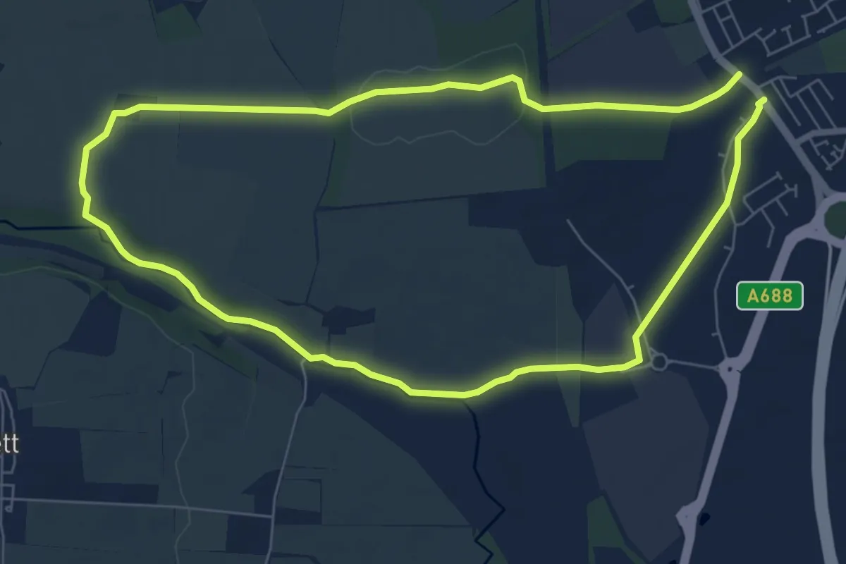
Easy · Trail
West Bowburn Way
5.6 km · ↑ 44 m · 1 h 30 min
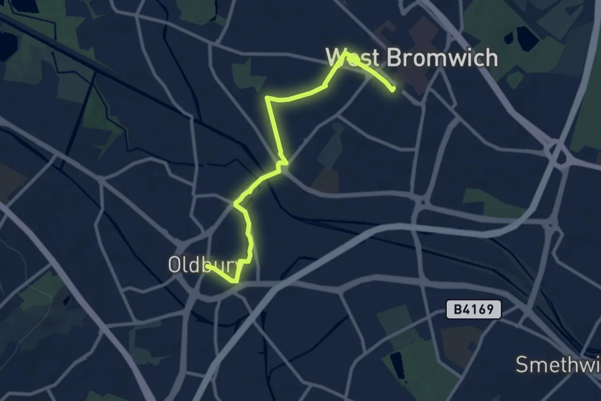
Easy · Trail
West Bromwich to Oldbury Health Walk
7.1 km · ↑ 44 m · 1 h 47 min
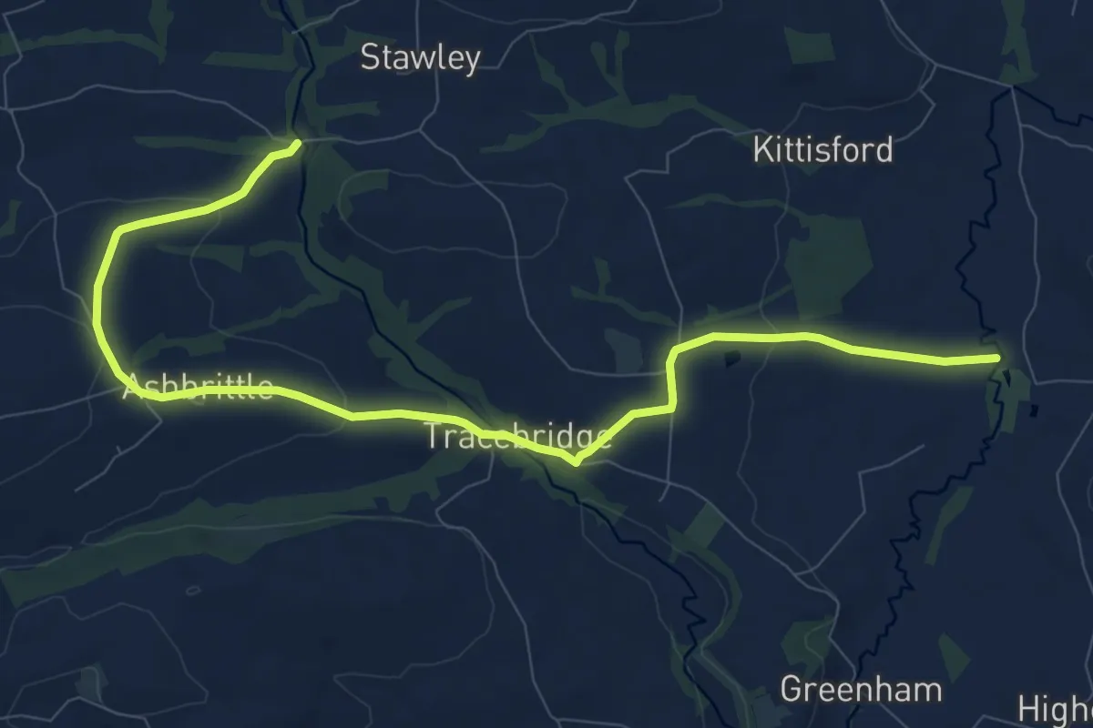
Medium · Trail
West Deane Way
10.5 km · ↑ 272 m · 3 h 3 min
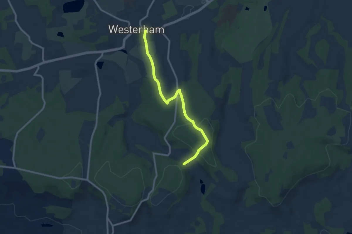
Easy · Trail
Westerham to Chartwell Trail, Chartwell
6.2 km · ↑ 181 m · 1 h 51 min
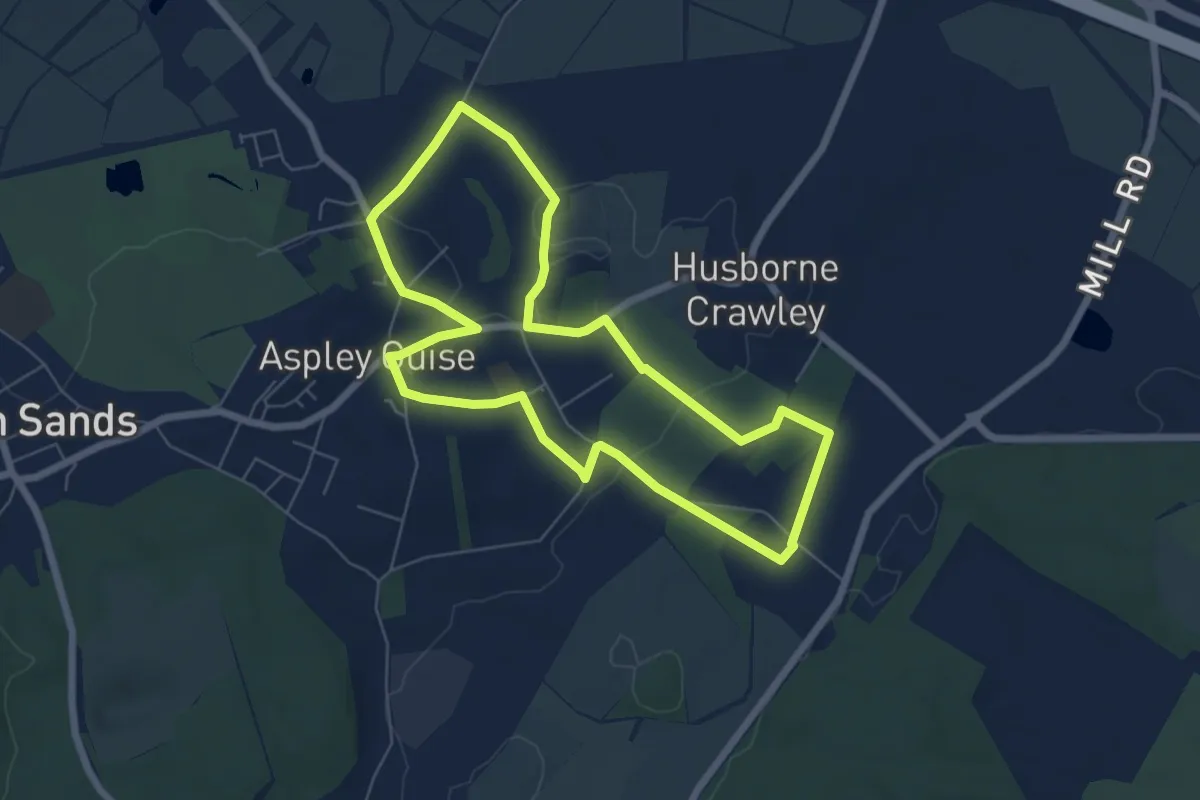
Easy · Trail
Western Historic Parkland Walk
5.6 km · ↑ 56 m · 1 h 32 min
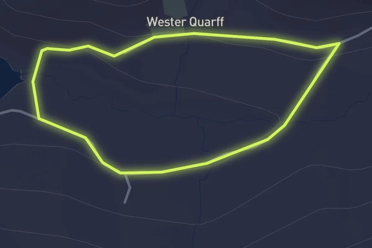
Easy · Trail
Wester Quarff
2.0 km · ↑ 59 m · 37 min
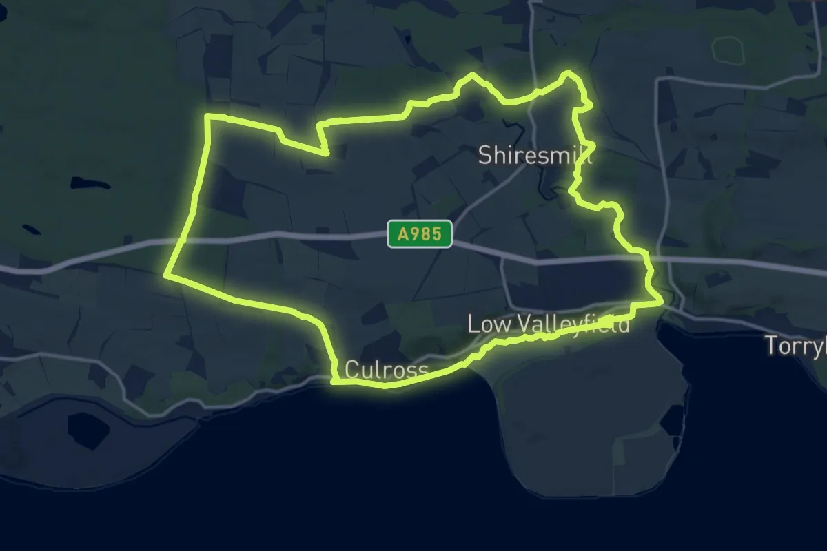
Demanding · Trail
West Fife Woodlands Way
29.6 km · ↑ 276 m · 7 h 35 min
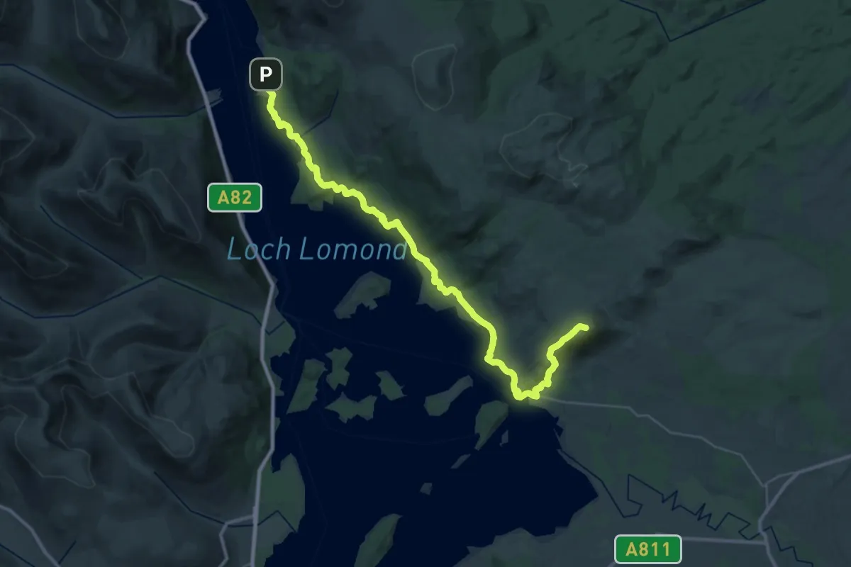
Demanding · Summit
West Highland Way (Drymen to Rowardennan)
29.6 km · ↑ 739 m · 8 h 35 min
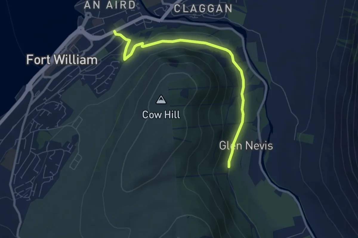
Easy · Trail
West Highland Way (High Route to Fort William)
5.7 km · ↑ 144 m · 1 h 40 min
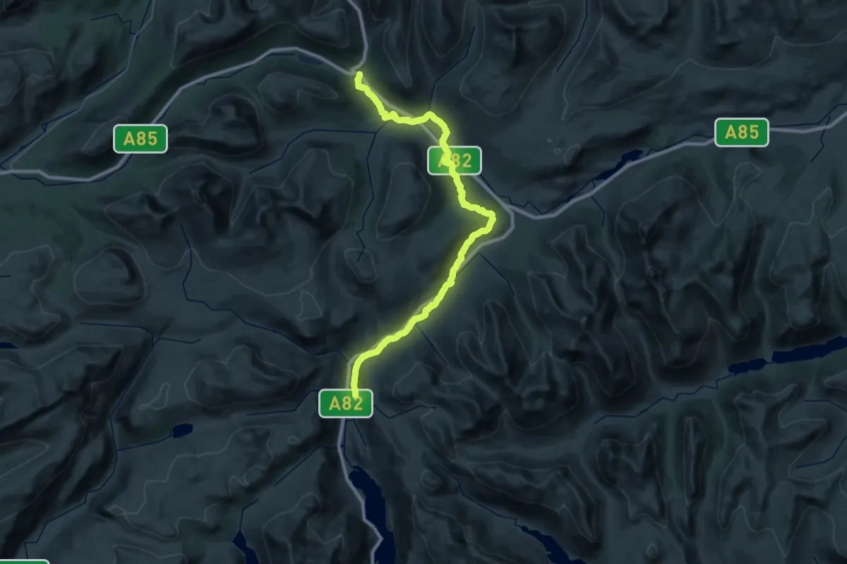
Demanding · Trail
West Highland Way (Inverarnan to Tyndrum)
19.2 km · ↑ 237 m · 5 h 26 min
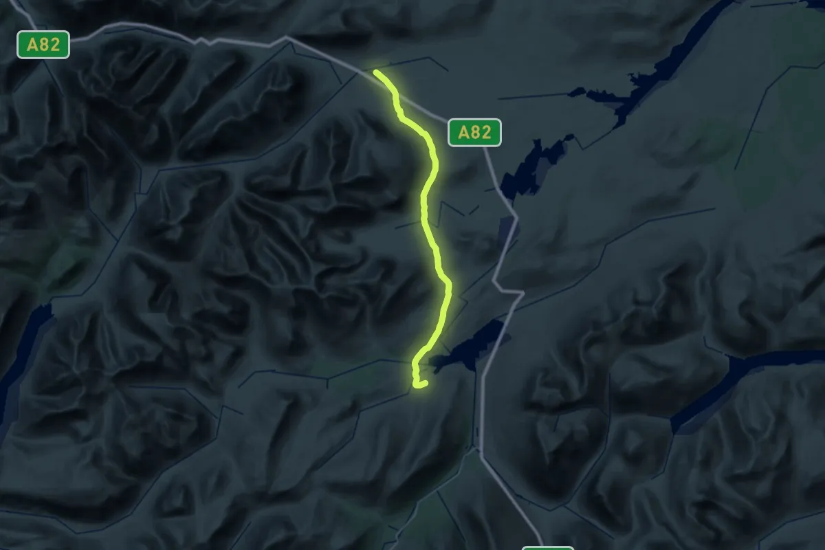
Medium · Trail
West Highland Way (Inveroran to Kingshouse)
15.6 km · ↑ 294 m · 4 h 30 min
Medium · Trail
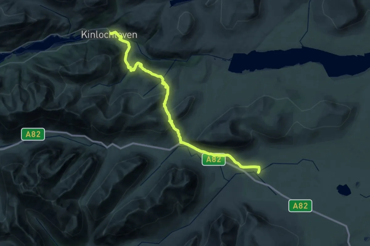
West Highland Way (Kingshouse to Kinlochleven)
14.2 km · ↑ 373 m · 4 h 28 min
Demanding · Trail
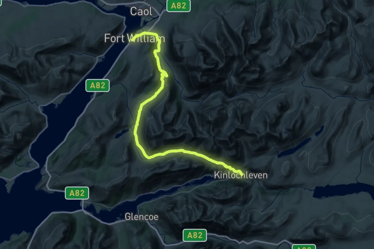
West Highland Way (Kinlochleven to Fort William)
24.5 km · ↑ 593 m · 7 h 24 min
Medium · Summit
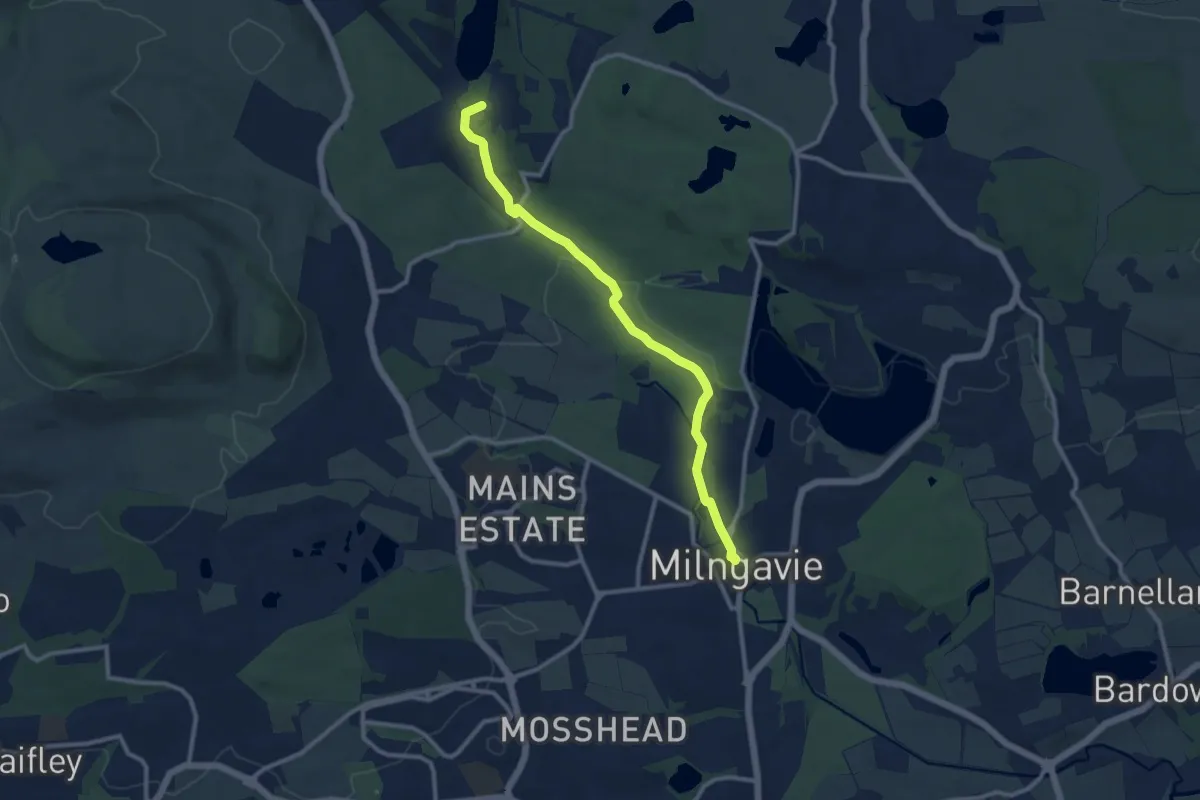
West Highland Way (Milngavie to Drymen part 1)
8.6 km · ↑ 75 m · 2 h 12 min
Demanding · Trail
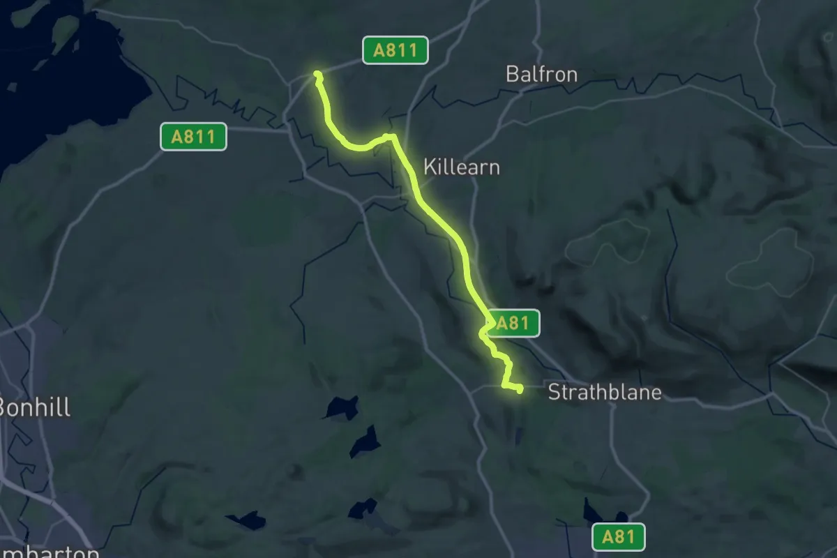
West Highland Way (Milngavie to Drymen part 2)
26.3 km · ↑ 225 m · 6 h 41 min
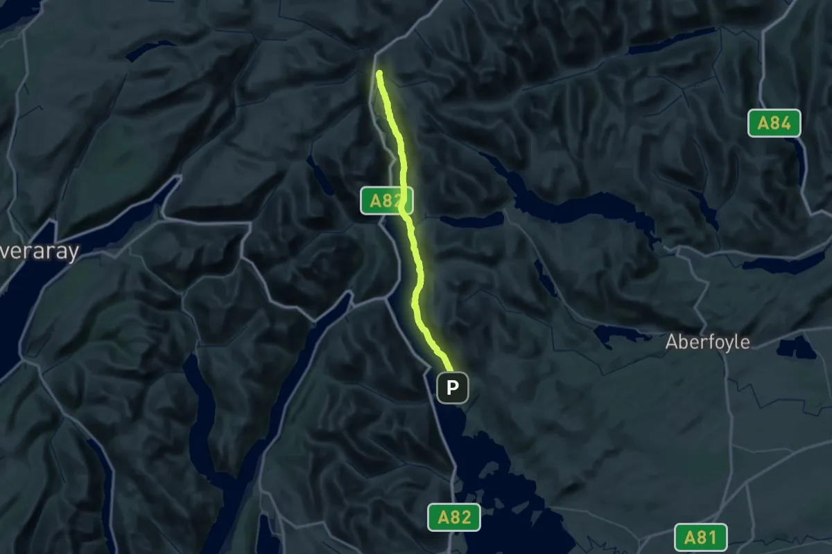
Demanding · Trail
West Highland Way (Rowardennan to Inverarnan)
22.0 km · ↑ 544 m · 6 h 40 min
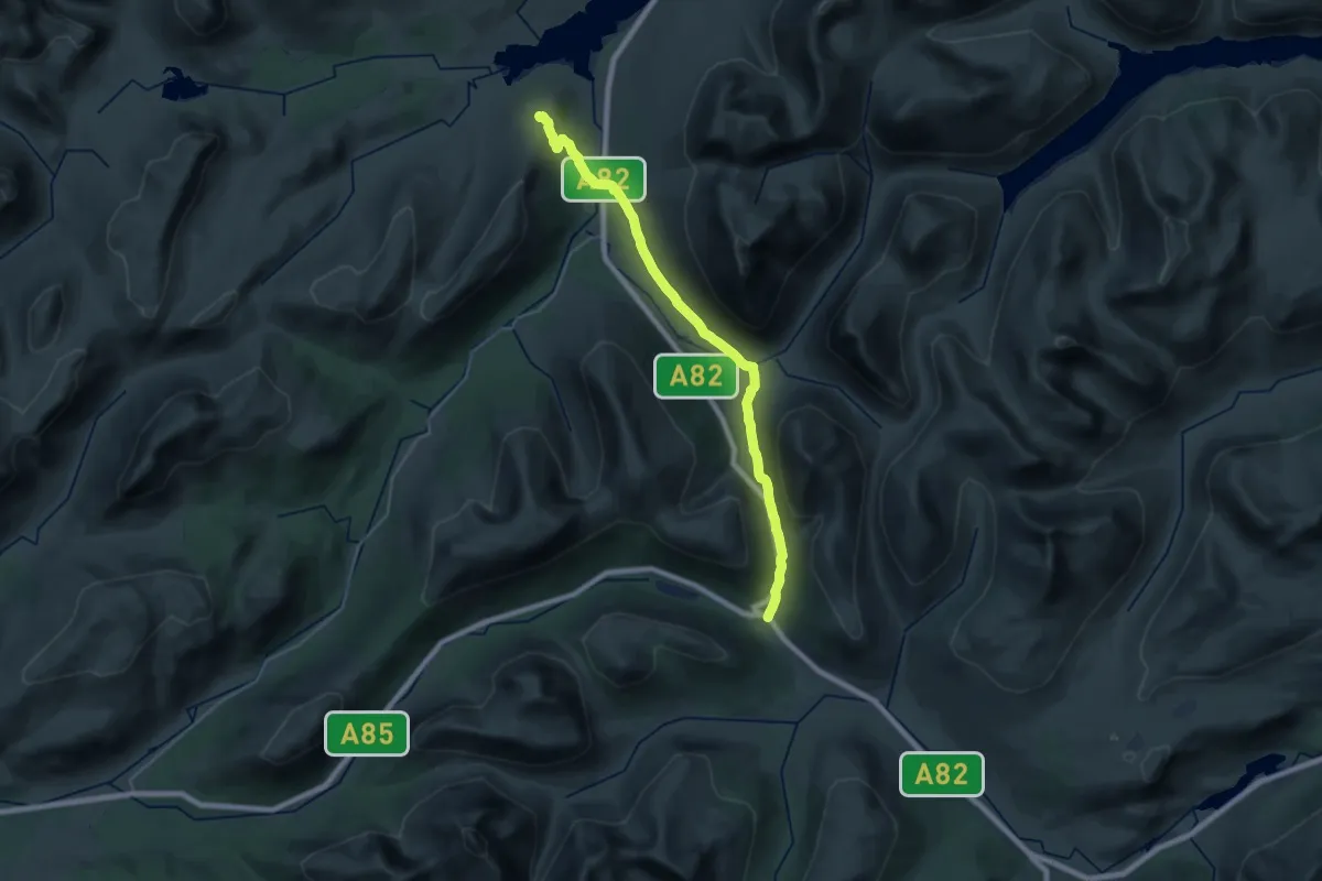
Demanding · Summit
West Highland Way (Tyndrum to Inveroran)
25.7 km · ↑ 461 m · 7 h 4 min
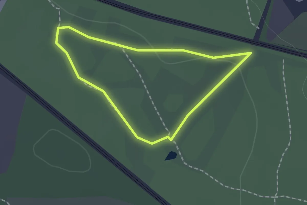
Easy · Trail
West Loop
1.0 km · ↑ 10 m · 17 min
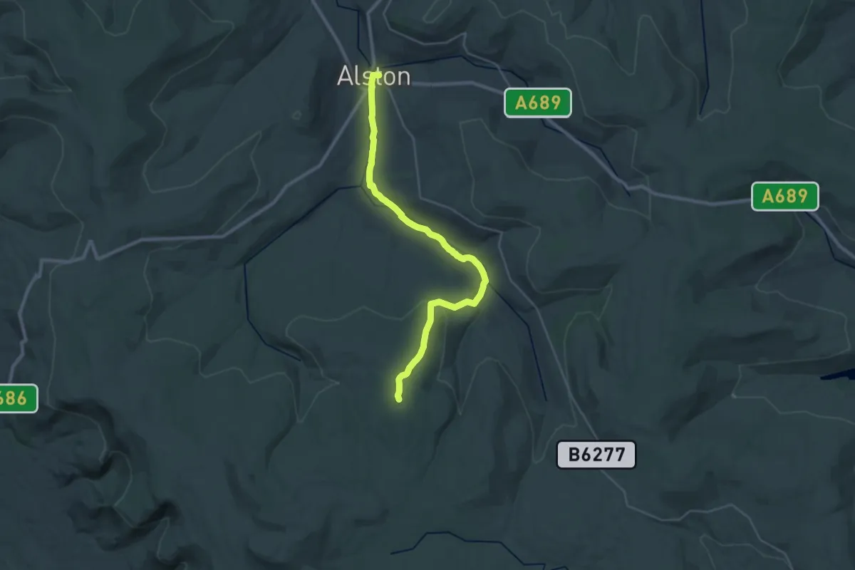
Demanding · Summit
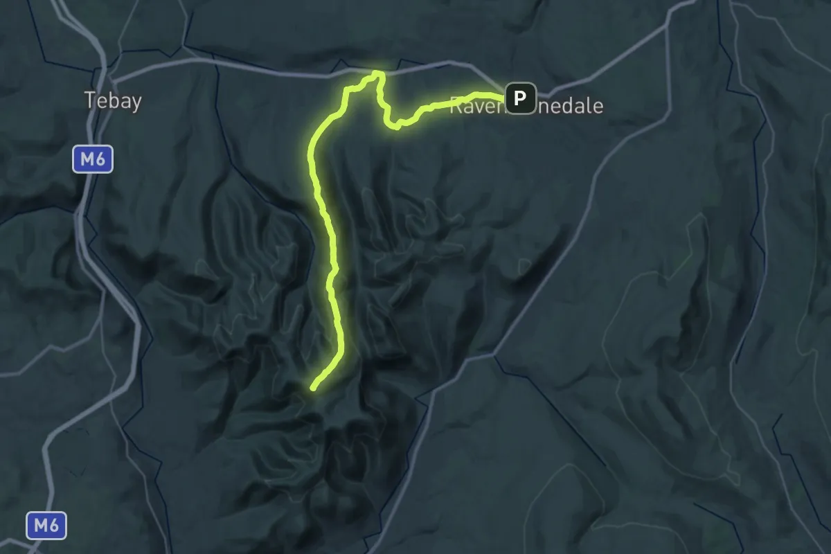
Westmorland and Furness Way: Stage 1 (The Pennine Roof)
23.4 km · ↑ 397 m · 6 h 22 min
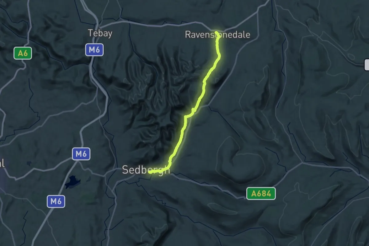
Demanding · Summit
Westmorland and Furness Way: Stage 3 - High Route
29.4 km · ↑ 803 m · 8 h 41 min
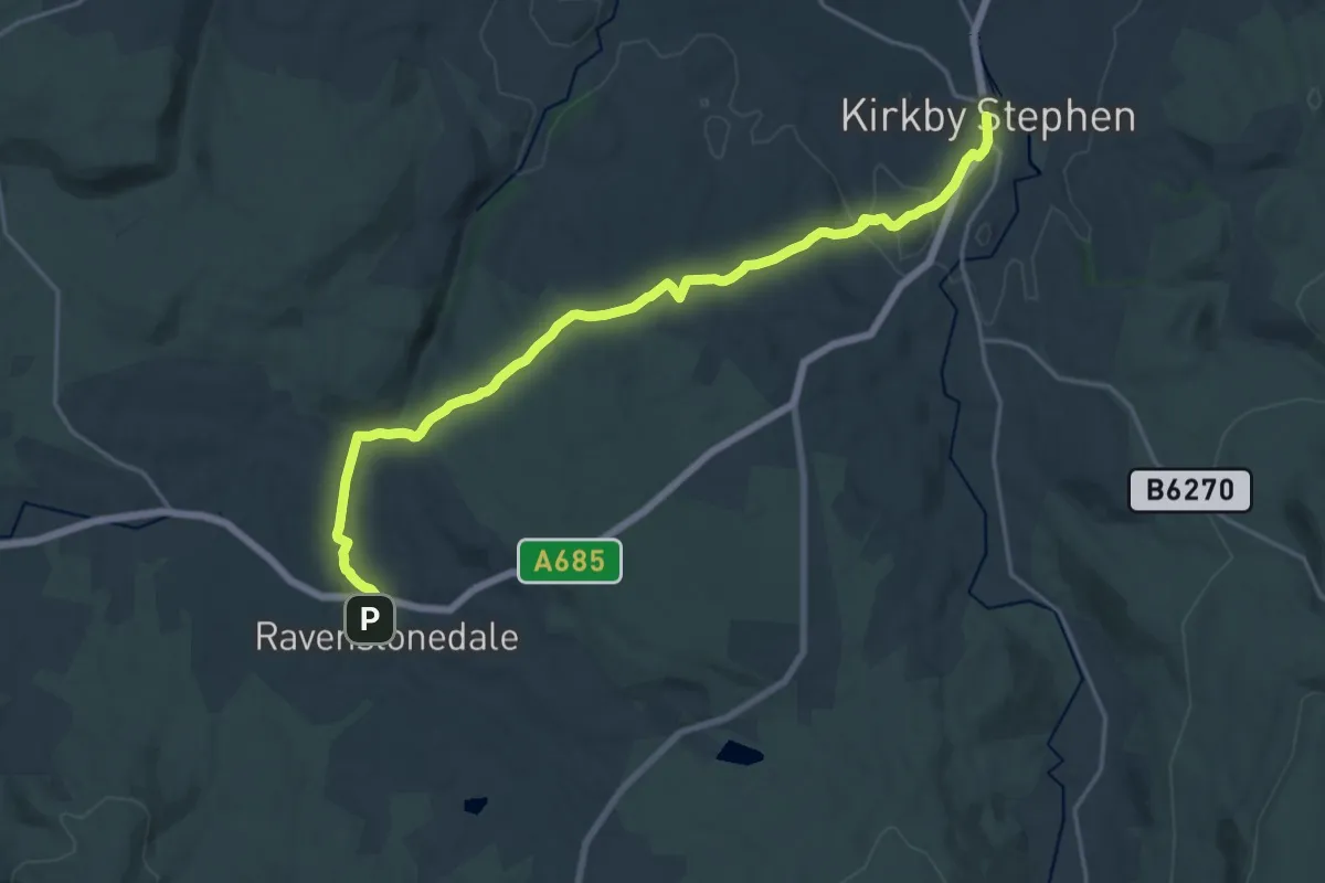
Medium · Trail
Westmorland and Furness Way: Stage 3 - Low Route
16.3 km · ↑ 417 m · 4 h 55 min
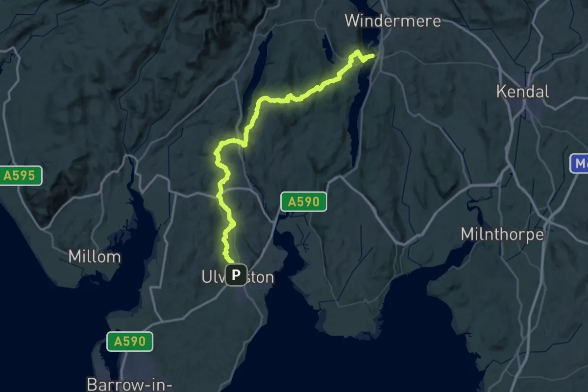
Medium · Trail
Westmorland and Furness Way: Stage 3 (The Sleeping Elephants)
17.6 km · ↑ 378 m · 4 h 59 min
Demanding · Trail
Westmorland and Furness Way: Stage 5 (Low Furness Fells)
33.6 km · ↑ 968 m · 10 h 29 min
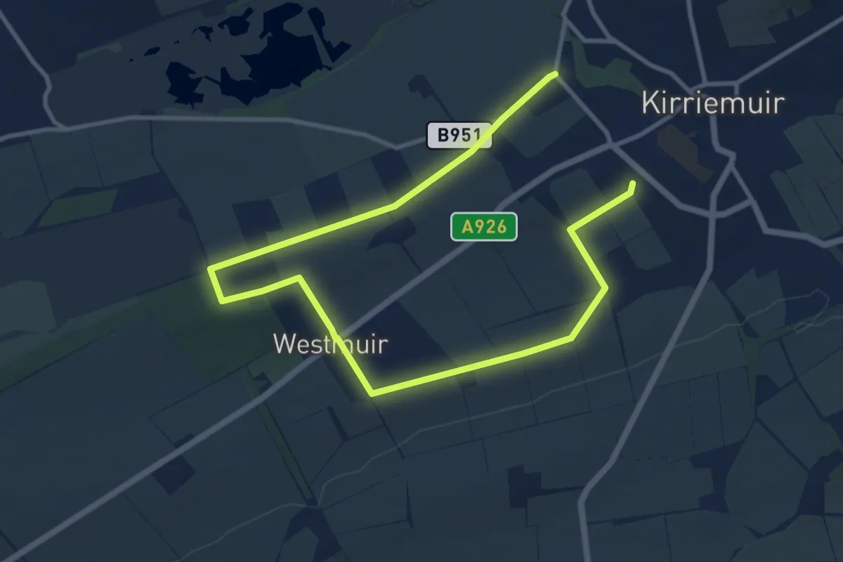
Medium · Trail
Westmuir Loop
11.3 km · ↑ 67 m · 2 h 49 min
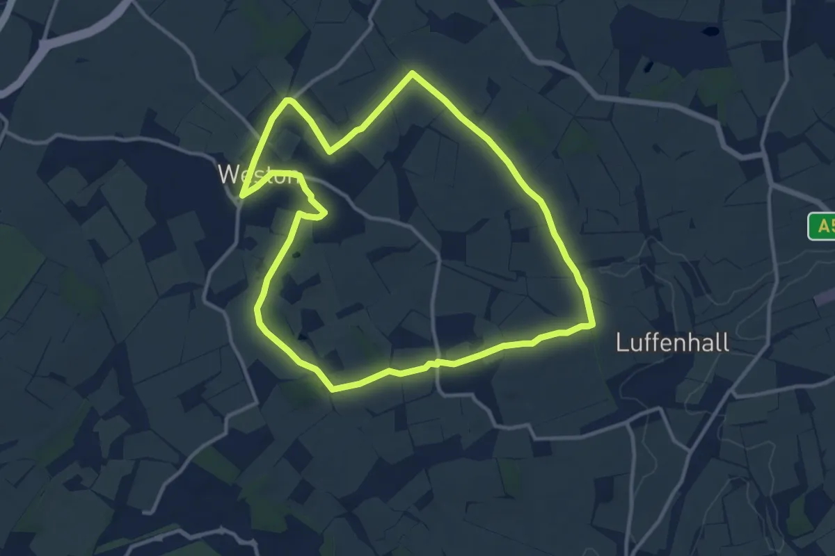
Medium · Trail
Weston Golden Jubilee Walk
10.1 km · ↑ 62 m · 2 h 40 min
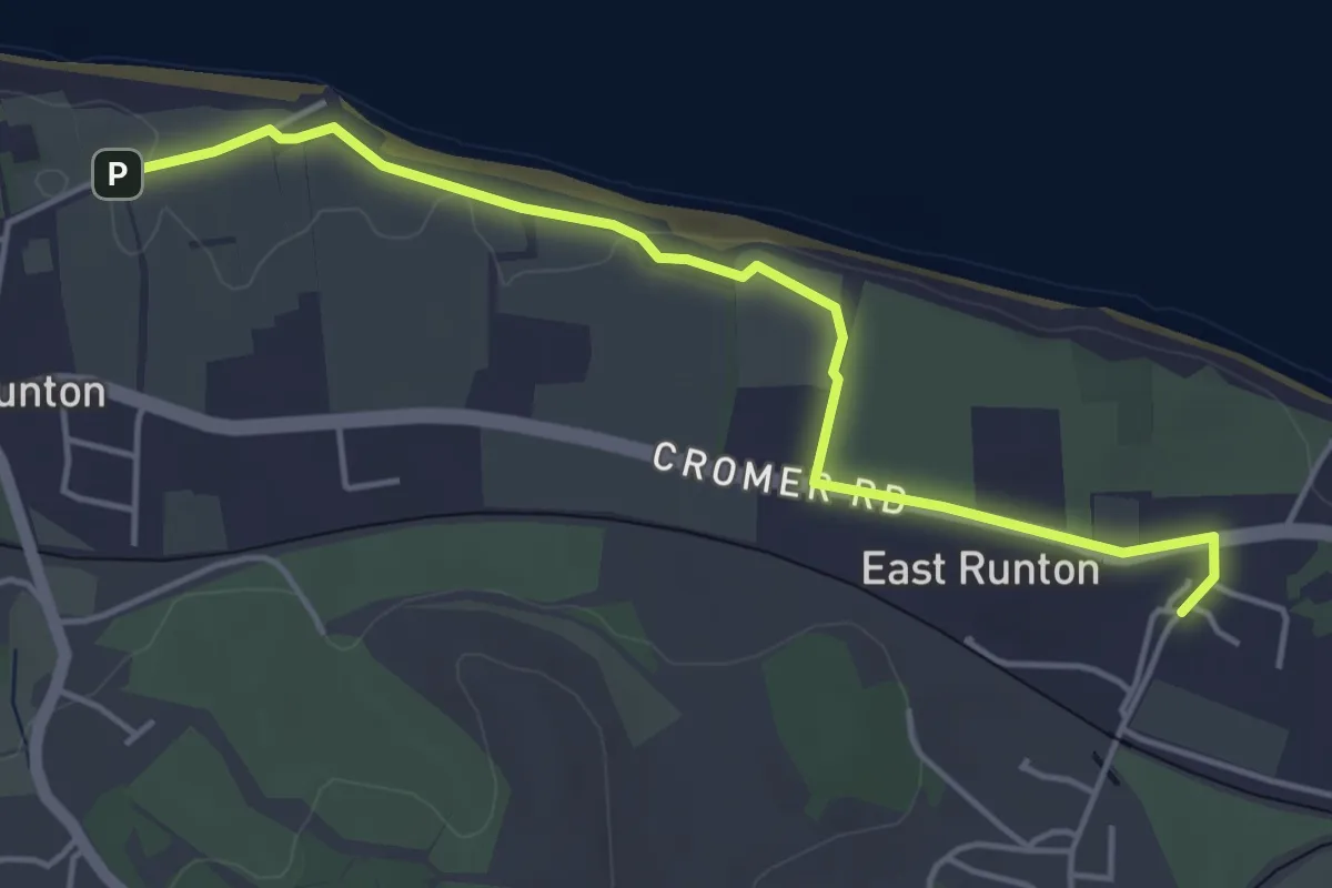
Easy · Trail
West Runton Circular
2.1 km · ↑ 24 m · 35 min
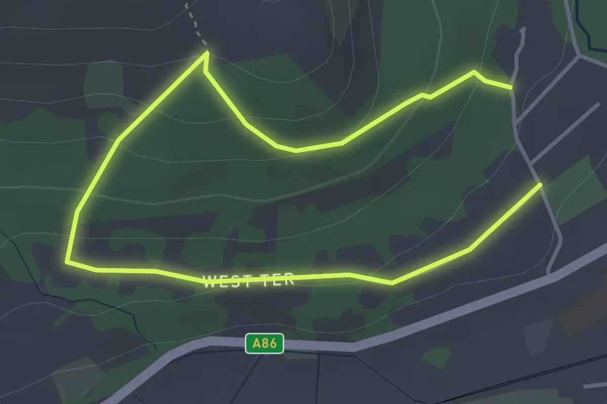
Easy · Trail
West Terrace Circular
4.3 km · ↑ 204 m · 1 h 28 min
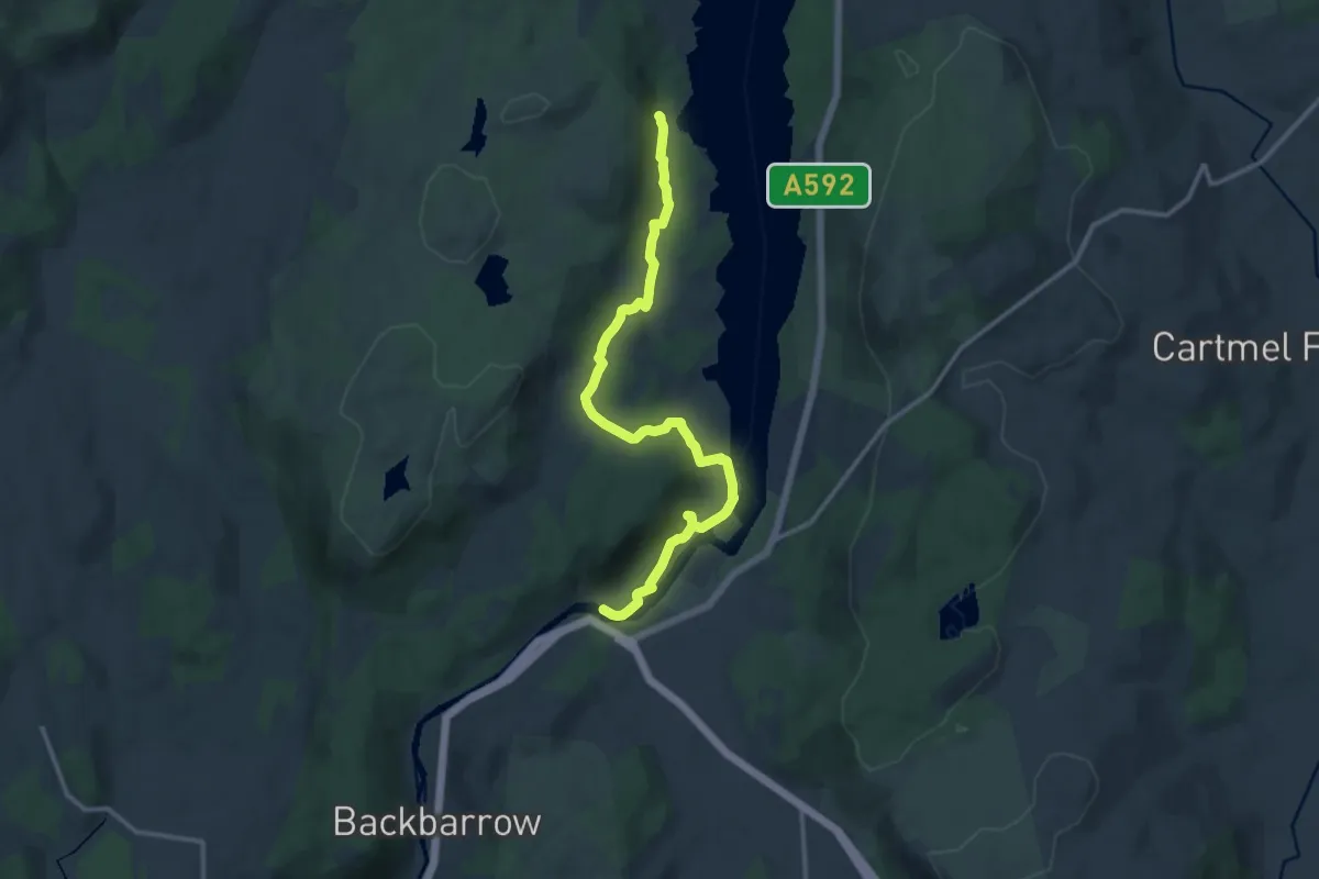
Medium · Trail
West Windermere Way (Walking Route)
11.4 km · ↑ 137 m · 3 h
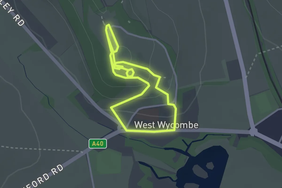
Easy · Trail
West Wycombe Trial, West Wycombe Village
2.2 km · ↑ 72 m · 43 min
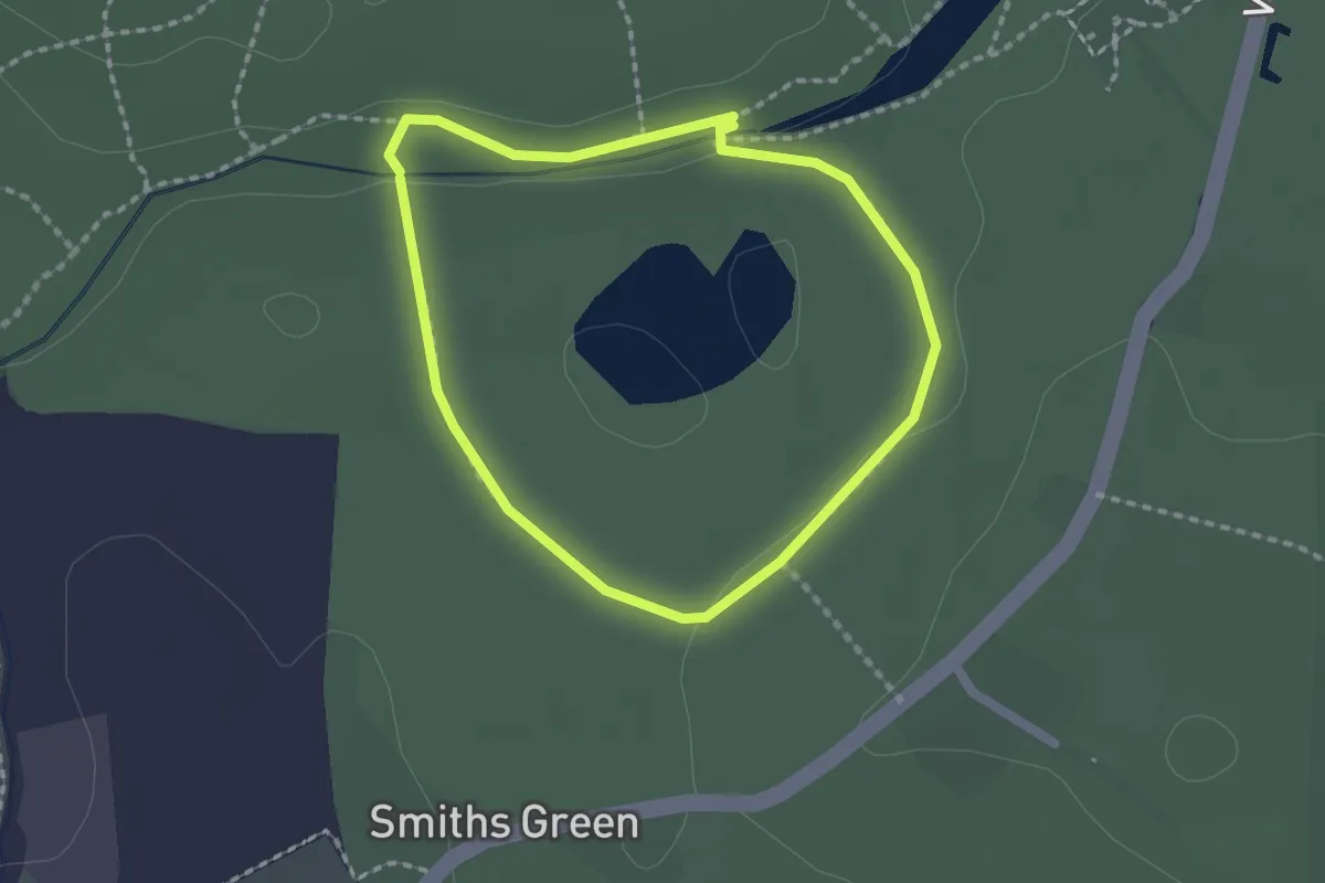
Easy · Trail
Wetlands Walk
1.5 km · ↑ 8 m · 24 min
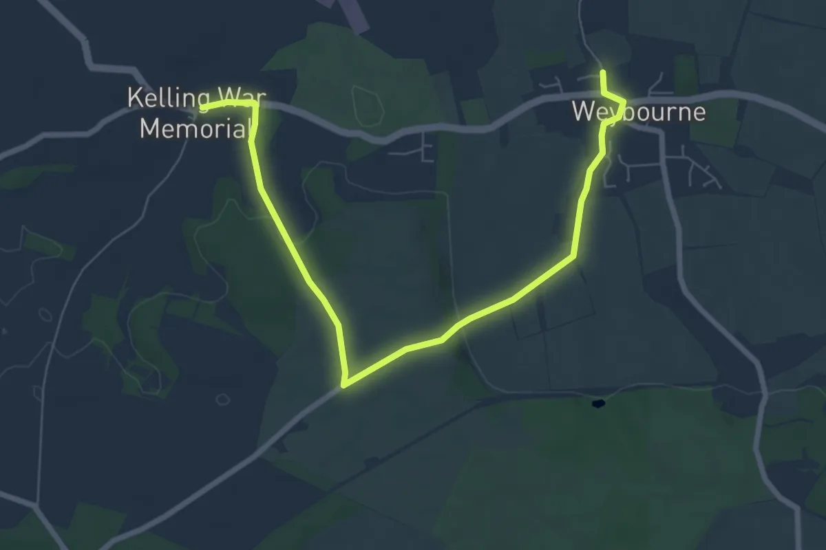
Easy · Trail
Weybourne Circular
3.5 km · ↑ 53 m · 59 min
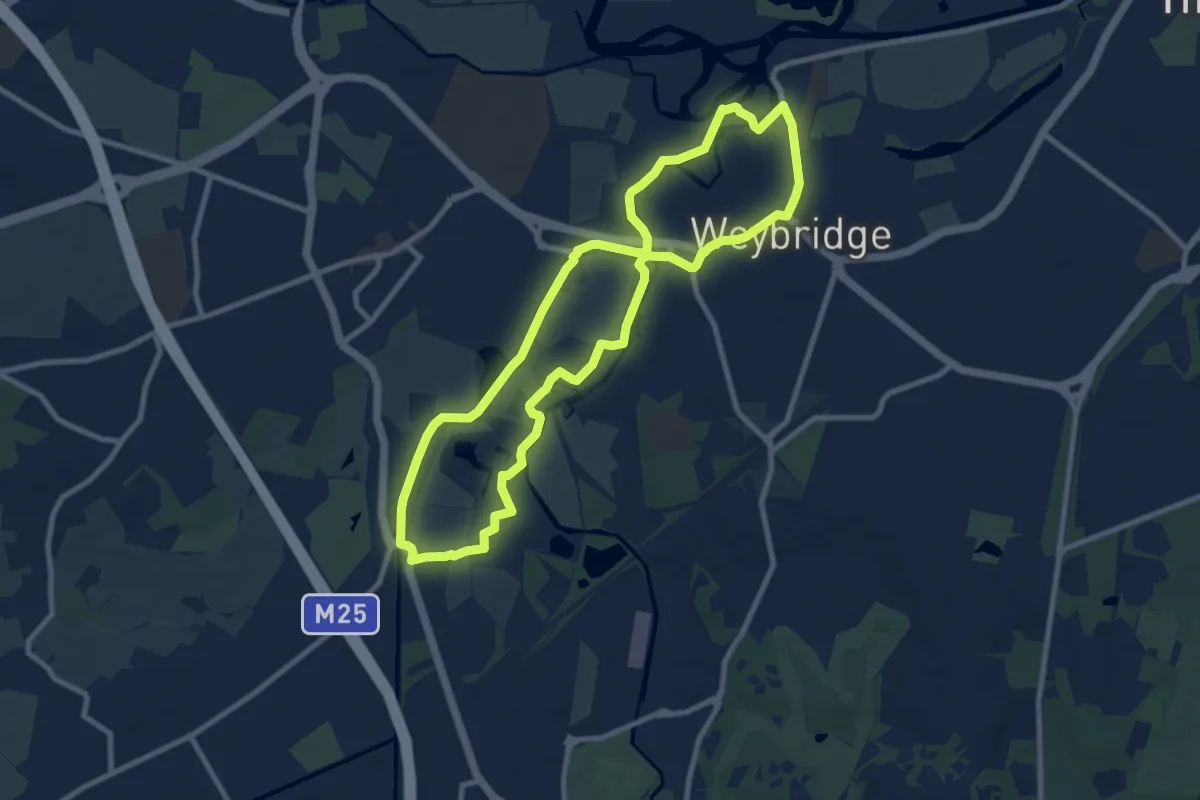
Medium · Trail
Weybridge to New Haw Lock Walk, River Wey Navigations
8.4 km · ↑ 0 m · 2 h 6 min
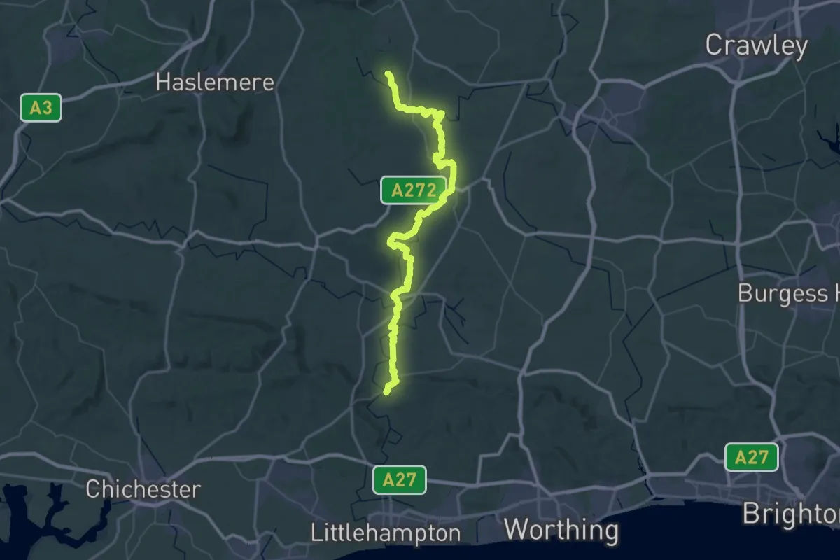
Demanding · Trail
Wey-South Path
34.5 km · ↑ 221 m · 9 h 7 min
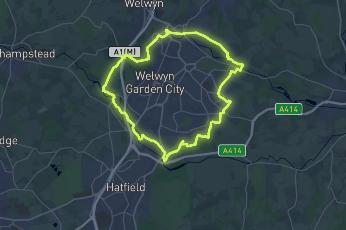
Demanding · Trail
WGC100 Centenary Walk
20.5 km · ↑ 152 m · 5 h 27 min
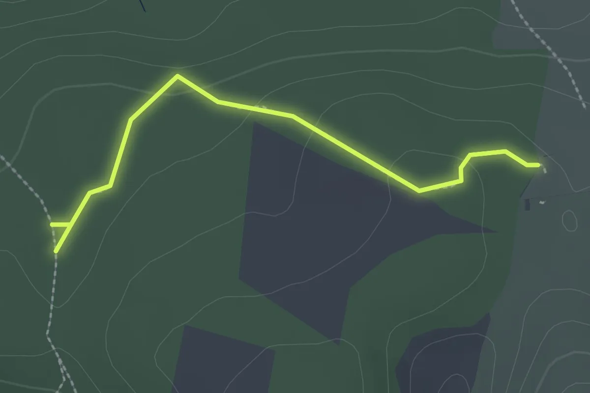
Easy · Trail
Wharfe Wood trail
2.1 km · ↑ 54 m · 37 min
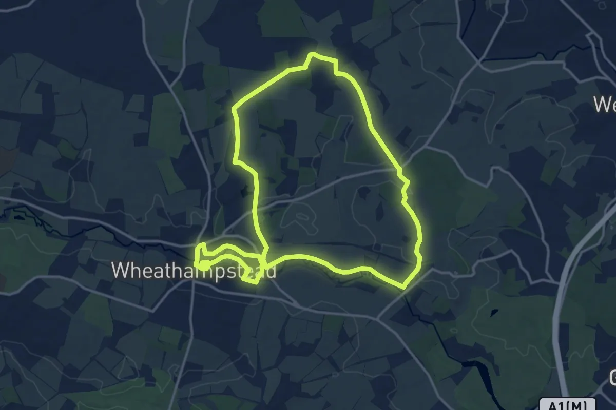
Medium · Trail
Wheathampstead to Shaw's Corner Circular Walk, Shaw's Corner
11.9 km · ↑ 91 m · 3 h 10 min
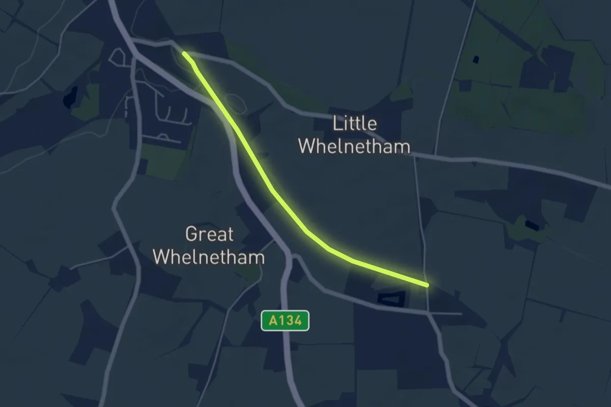
Easy · Trail
Whelnetham Railway Walk
3.7 km · ↑ 27 m · 56 min
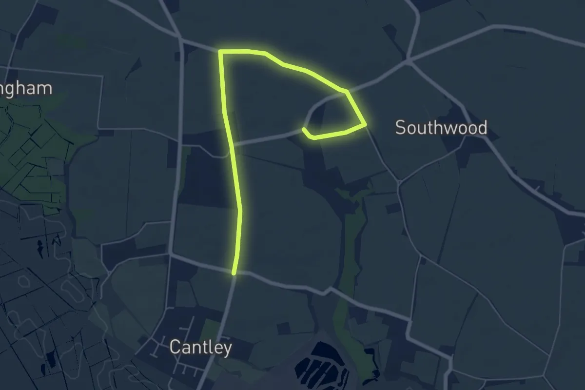
Easy · Trail
Wherry Lines Walk 2
2.9 km · ↑ 14 m · 45 min
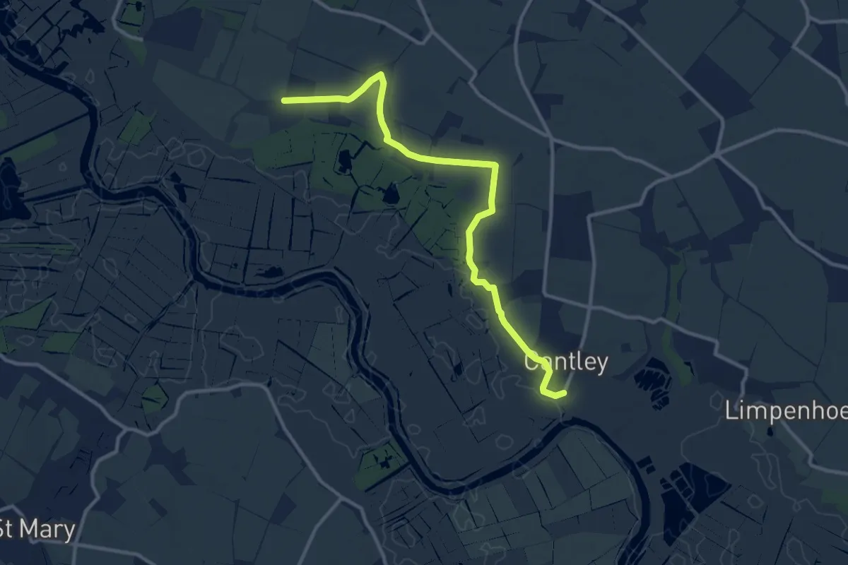
Medium · Trail
Wherry Lines Walk 3
10.1 km · ↑ 45 m · 2 h 29 min
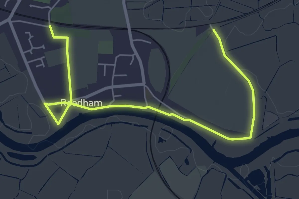
Easy · Trail
Wherry Lines Walk 4
2.8 km · ↑ 5 m · 43 min
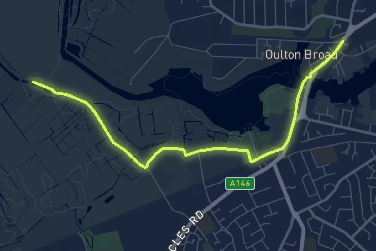
Easy · Trail
Wherry Lines Walk 7
3.5 km · ↑ 0 m · 53 min
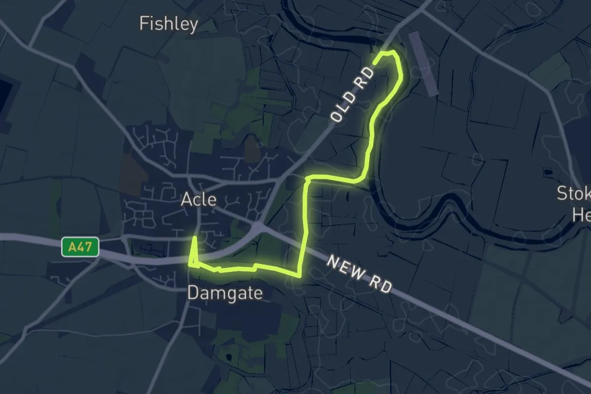
Easy · Trail
Wherry Lines Walk 8
3.5 km · ↑ 0 m · 52 min
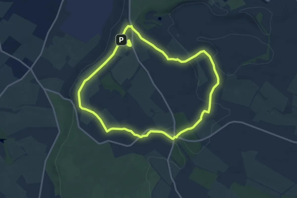
Easy · Summit
Whipsnade and Dunstable Downs Walk, Dunstable Downs and Whipsnade Estate
7.3 km · ↑ 95 m · 2 h 2 min