Trails in United Kingdom
3,857 hiking trails, each with its route, climb, walking time and grade.
All trails, page 77 of 81
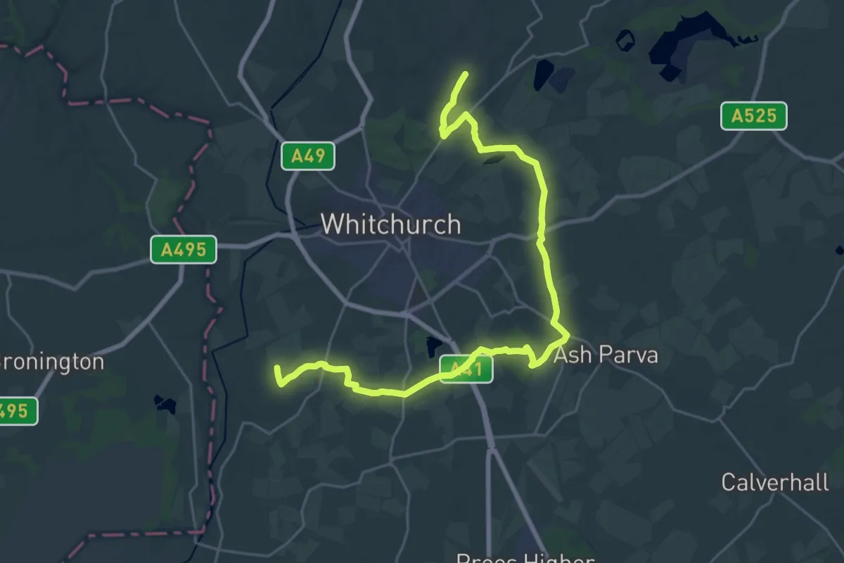
Medium · Trail
Whitchurch Wheel
12.2 km · ↑ 58 m · 3 h 12 min
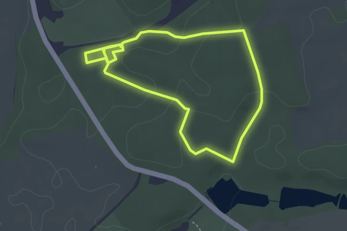
Easy · Trail
White Admiral Walk, Comer Woods, Dudmaston Estate
2.7 km · ↑ 70 m · 50 min
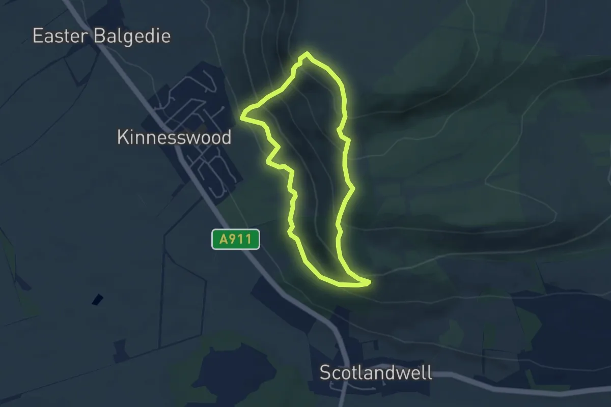
Easy · Trail
White Craigs and Kilmagadwood
3.6 km · ↑ 271 m · 1 h 30 min
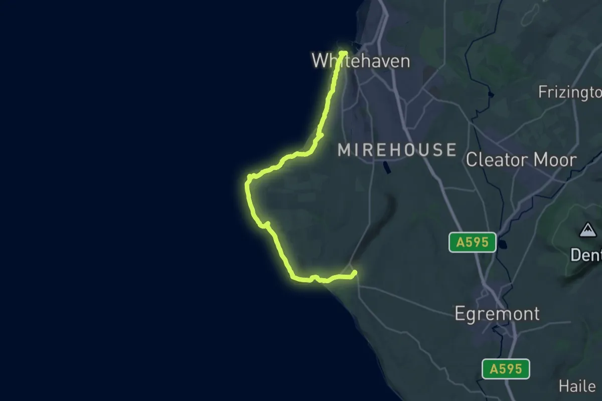
Demanding · Trail
Whitehaven Colourful Coastal Walk, North Lakes Outdoors
22.1 km · ↑ 724 m · 6 h 48 min
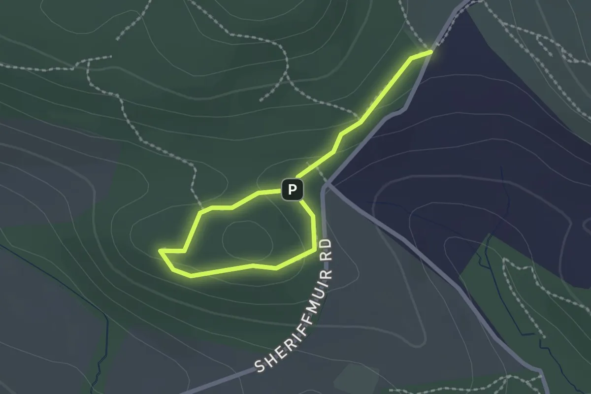
Easy · Trail
Whitehill Walk
1.0 km · ↑ 20 m · 18 min
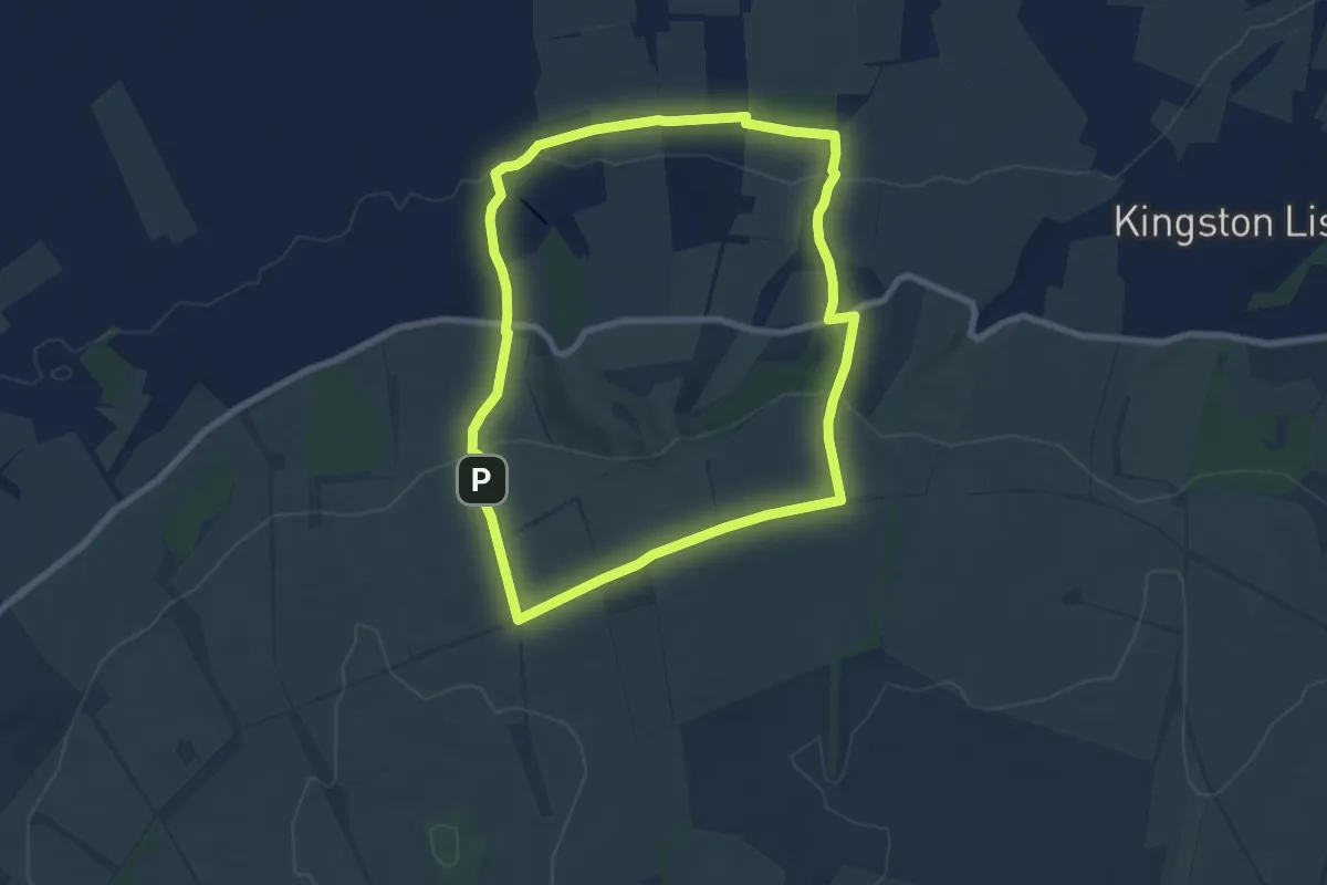
Easy · Trail
White horse circular walk
6.6 km · ↑ 153 m · 1 h 59 min
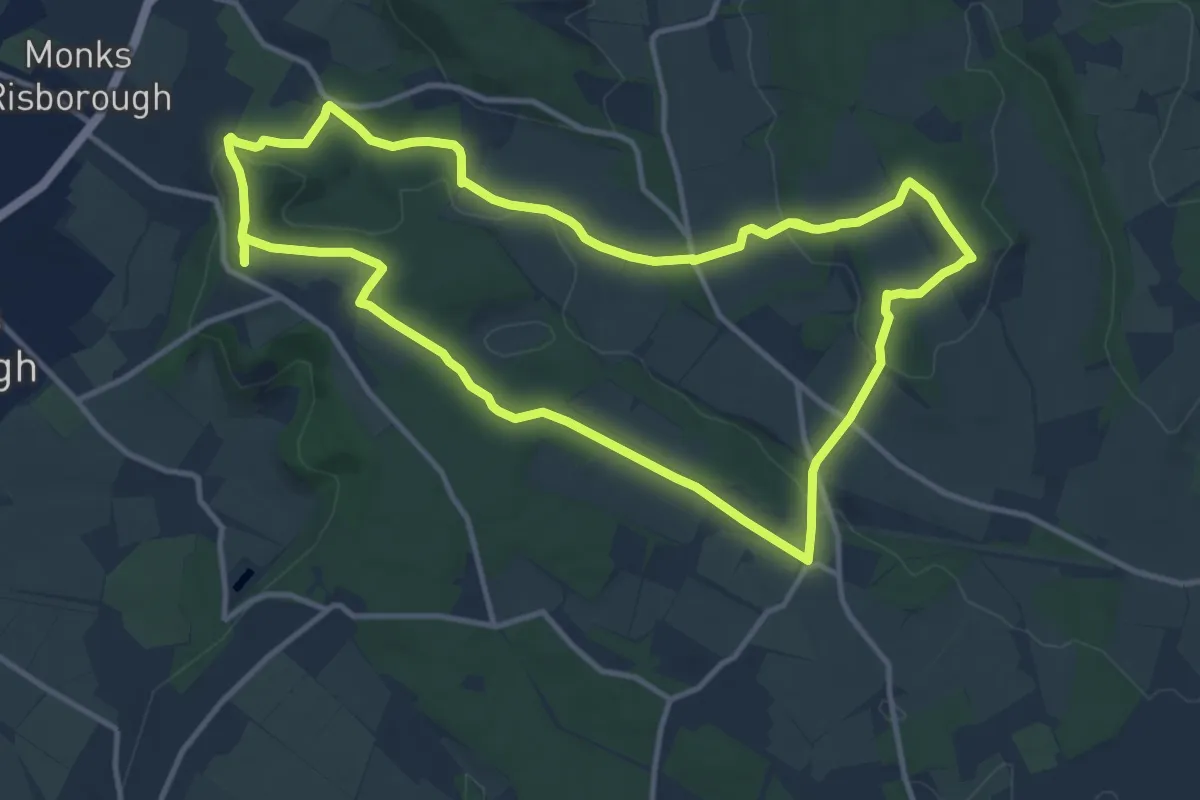
Medium · Summit
Whiteleaf and the Hampdens walk, Princes Risborough
11.6 km · ↑ 229 m · 3 h 24 min
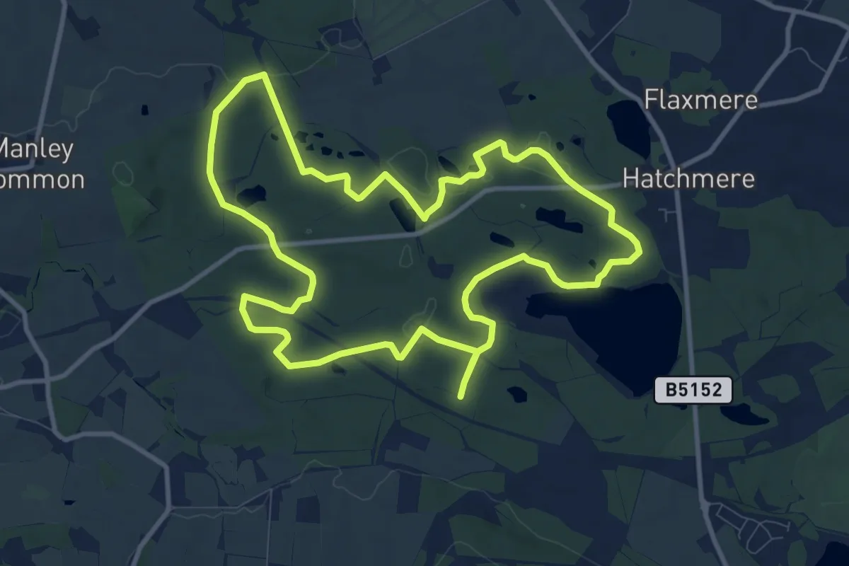
Medium · Trail
Whitemoor Trail
8.9 km · ↑ 59 m · 2 h 21 min
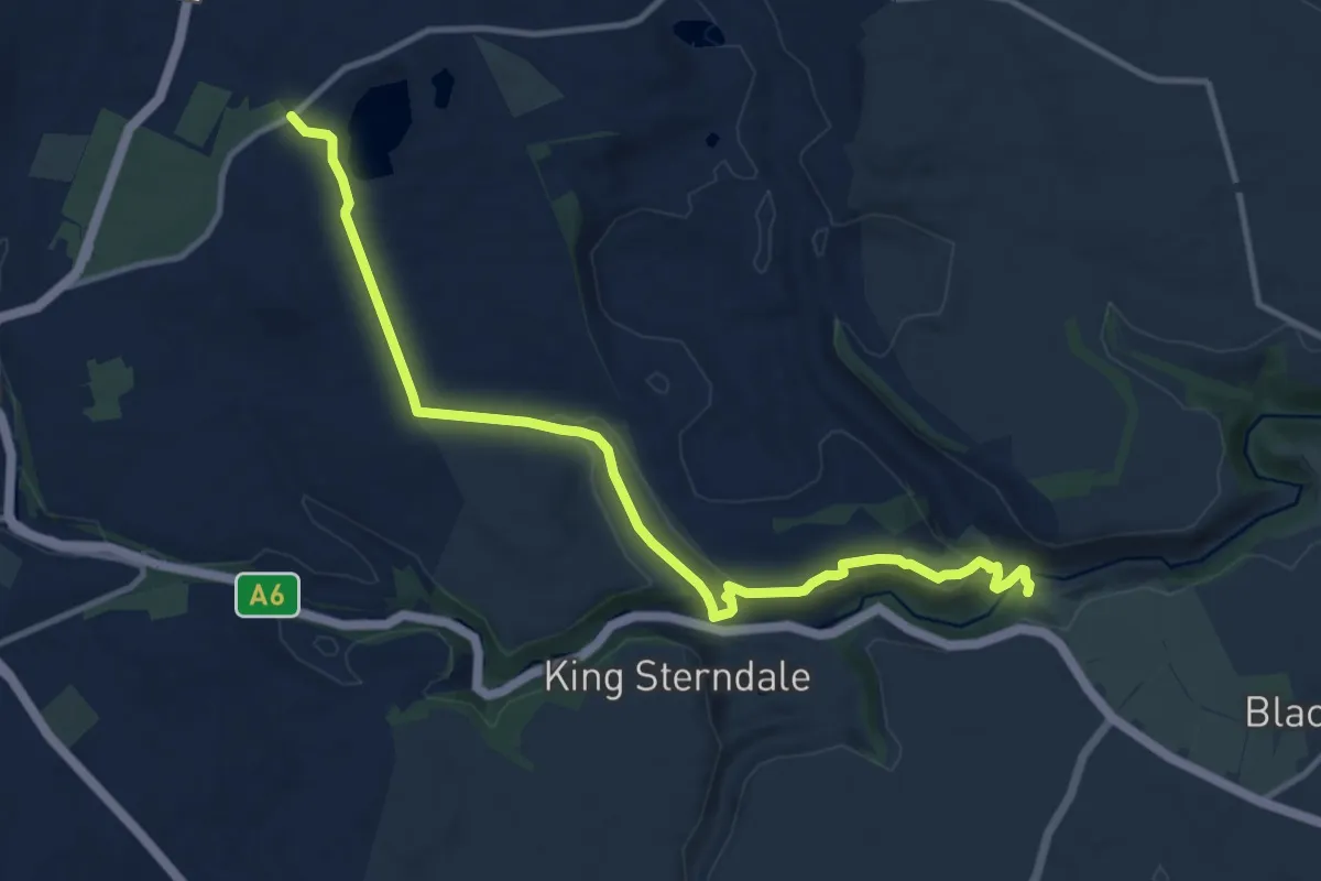
Medium · Trail
White Peak Loop - Link to Monsal Trail
11.0 km · ↑ 305 m · 3 h 15 min
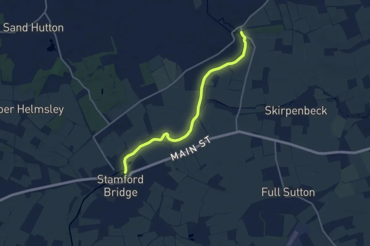
Medium · Trail
White Rose Way
8.4 km · ↑ 23 m · 2 h 2 min
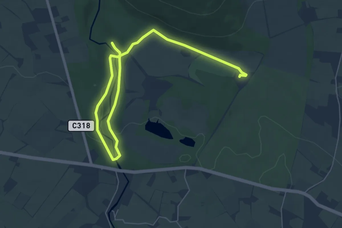
Easy · Trail
Whitewater Trail
3.3 km · ↑ 44 m · 55 min
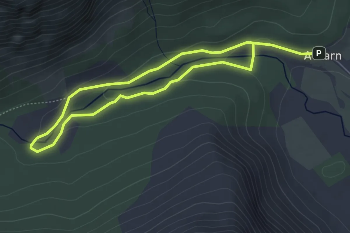
Easy · Trail
White Water Trail
6.5 km · ↑ 118 m · 1 h 48 min
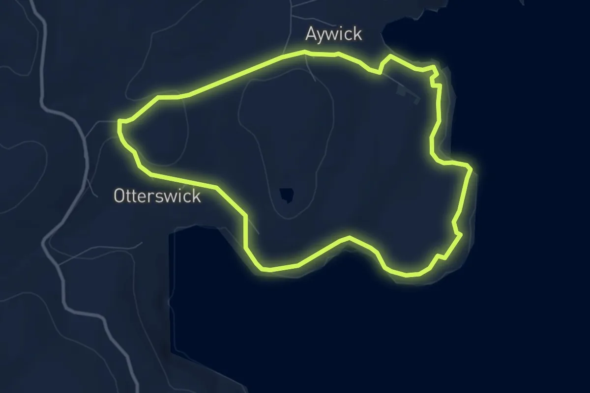
Easy · Trail
White Wife to Aywick
6.5 km · ↑ 153 m · 1 h 57 min
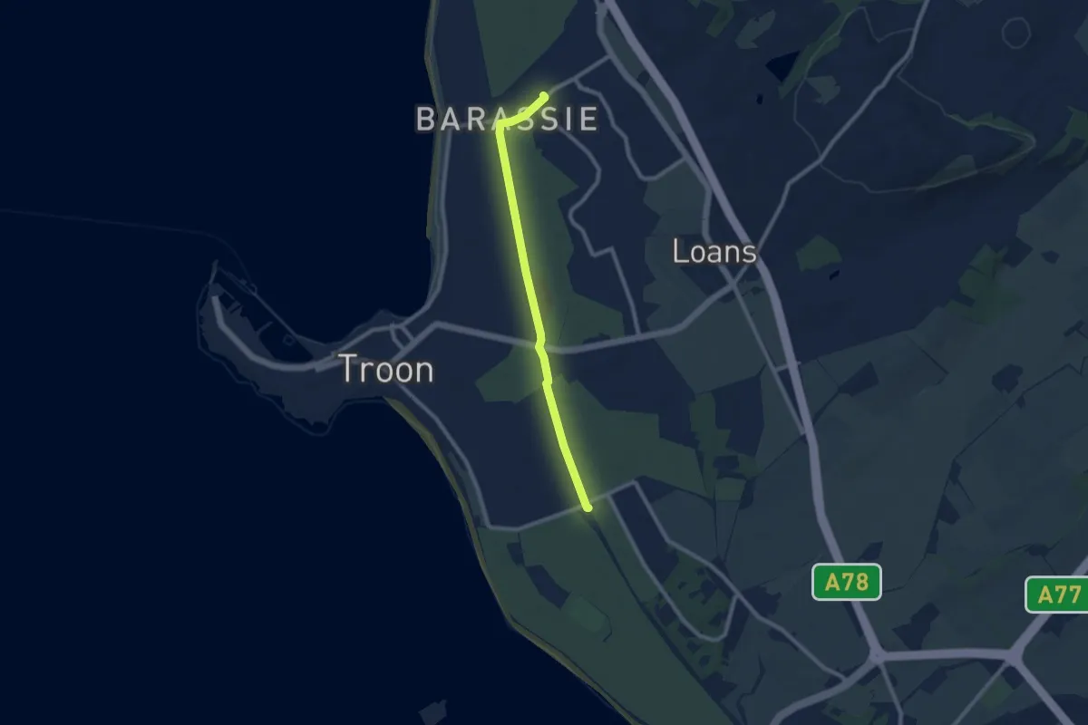
Easy · Trail
Whithorn Way (alternative to east of Troon)
6.7 km · ↑ 0 m · 1 h 35 min
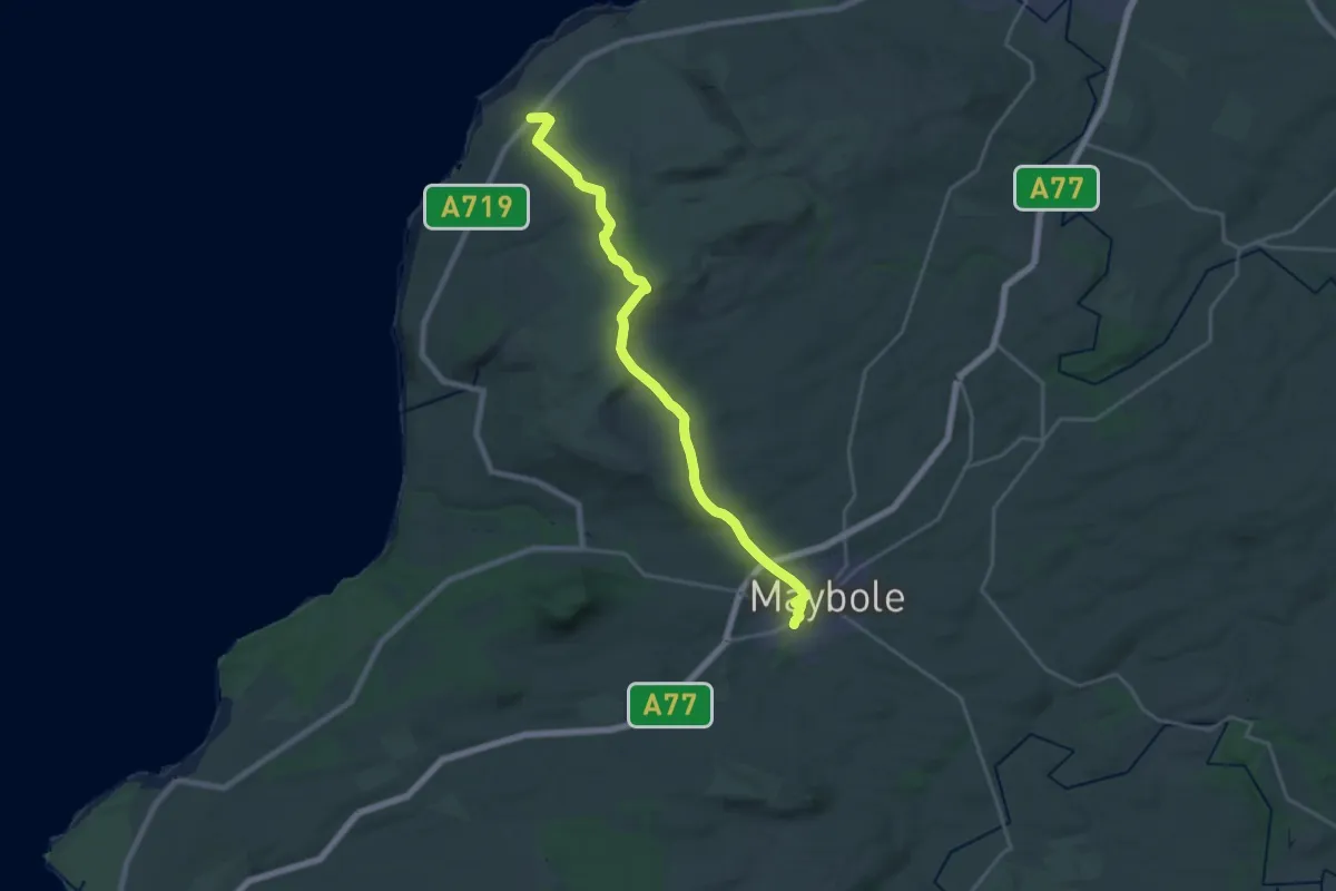
Demanding · Trail
Whithorn Way (Fisherton (A719) to Maybole)
18.4 km · ↑ 438 m · 5 h 18 min
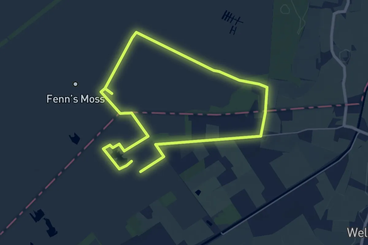
Easy · Trail
Whixall Moss History Trail
4.4 km · ↑ 4 m · 1 h 7 min
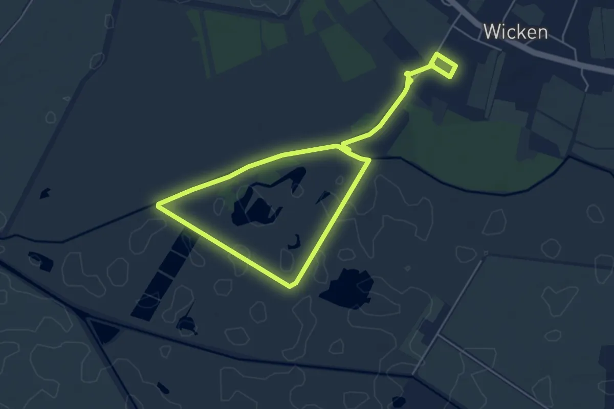
Easy · Trail
Wicken Fen Adventurers' Trail, Wicken Fen
3.8 km · ↑ 0 m · 57 min
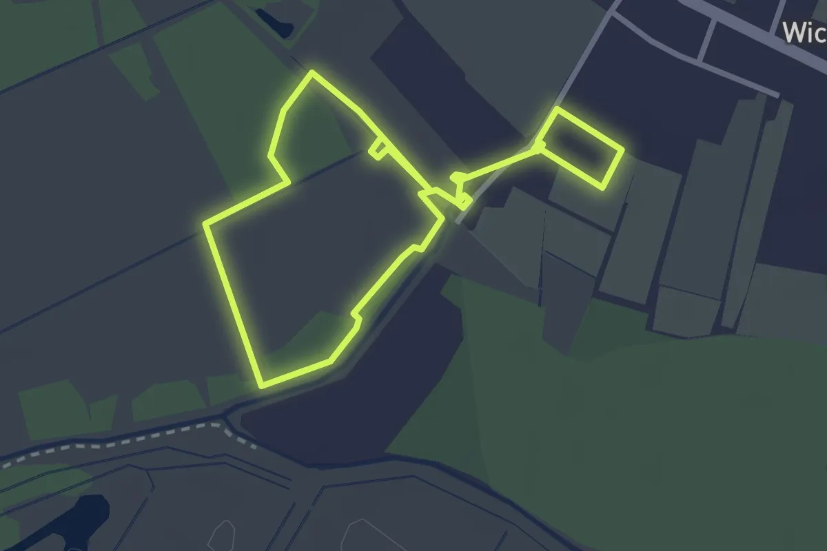
Easy · Trail
Wicken Fen Boardwalk Trail, Wicken Fen
2.1 km · ↑ 0 m · 31 min
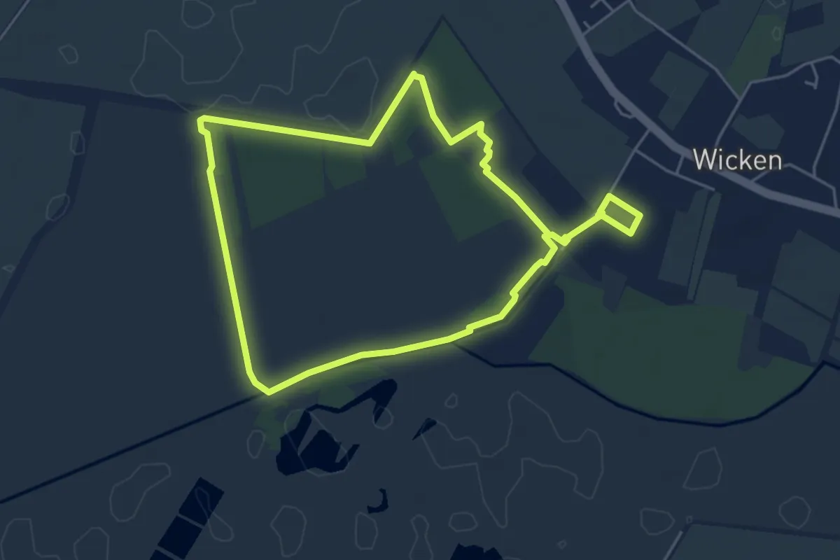
Easy · Trail
Wicken Fen Summer Nature Trail, Wicken Fen
4.2 km · ↑ 4 m · 1 h 3 min
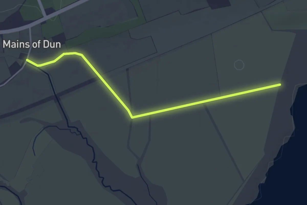
Easy · Trail
Wigeon Hide
3.2 km · ↑ 5 m · 46 min
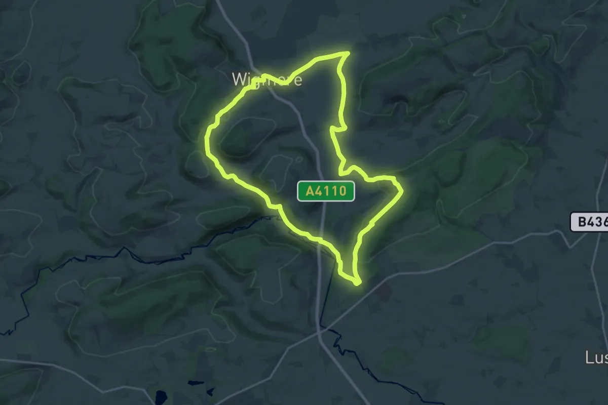
Medium · Trail
Wigmore Loop
16.0 km · ↑ 331 m · 4 h 43 min
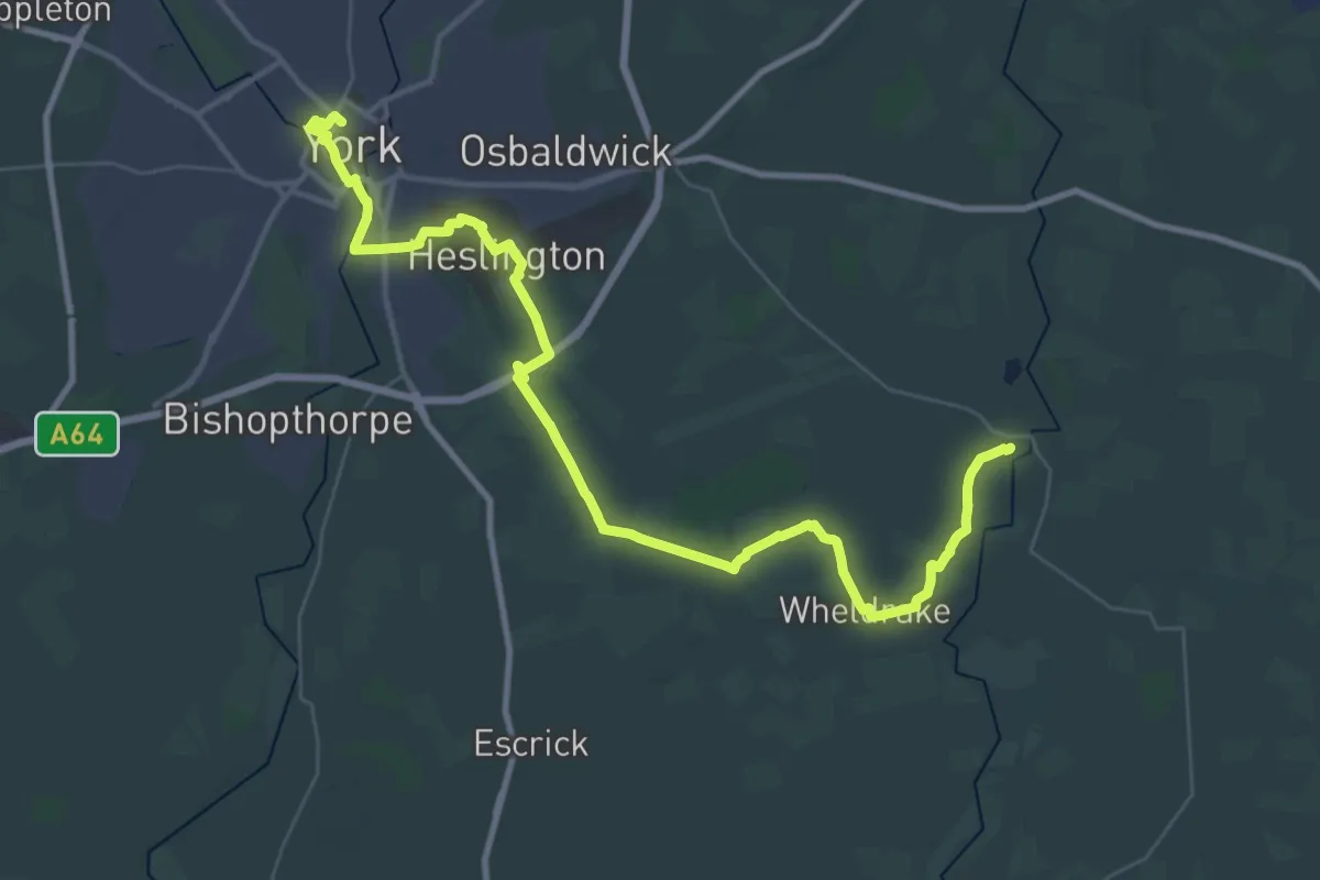
Demanding · Trail
Wilberforce Way
20.5 km · ↑ 21 m · 5 h 11 min
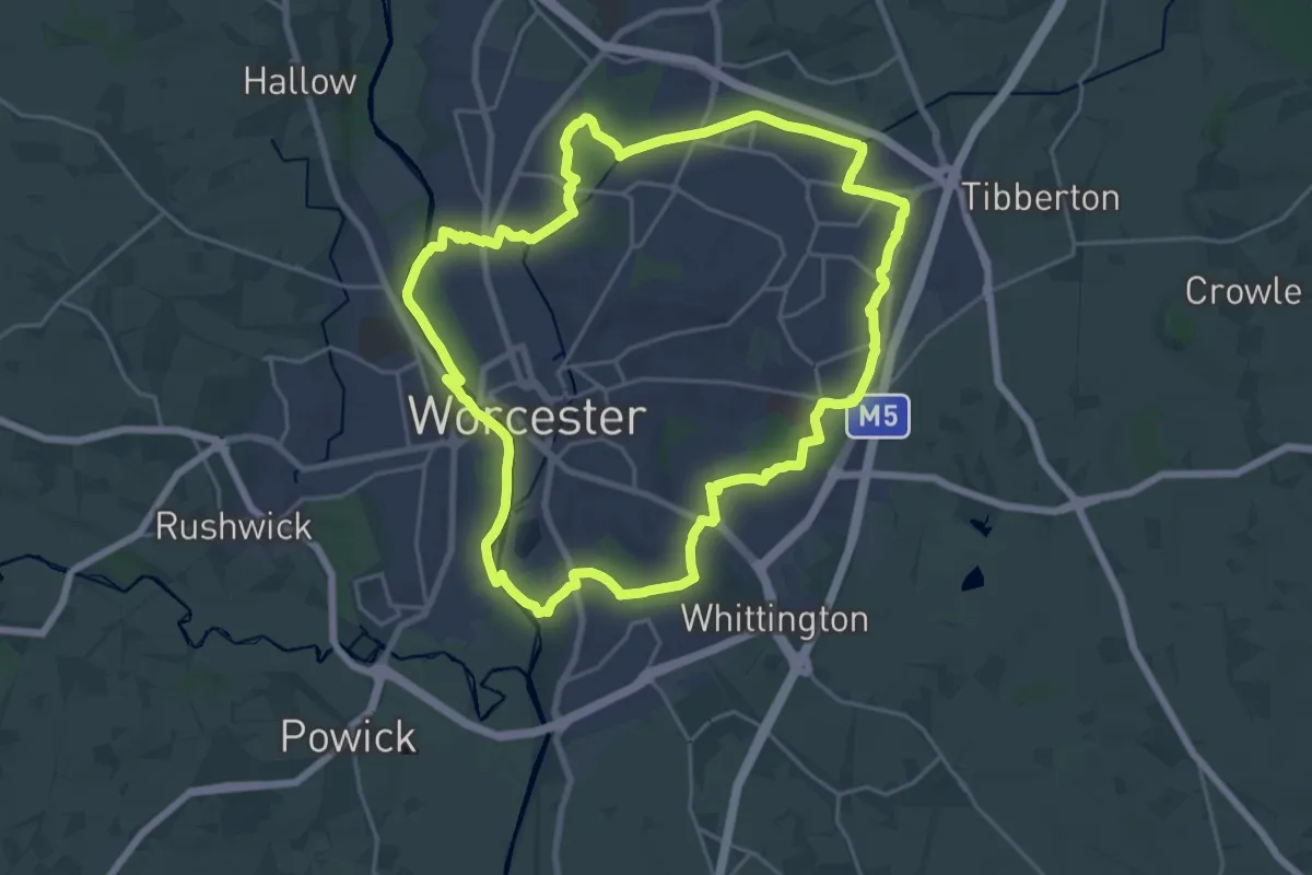
Demanding · Trail
Wild About Worcester Way
19.6 km · ↑ 64 m · 5 h 3 min
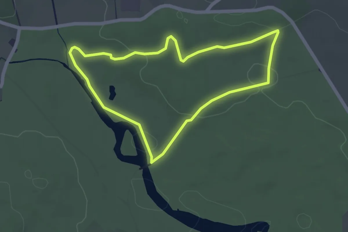
Easy · Trail
Wilderness walk
3.1 km · ↑ 30 m · 50 min
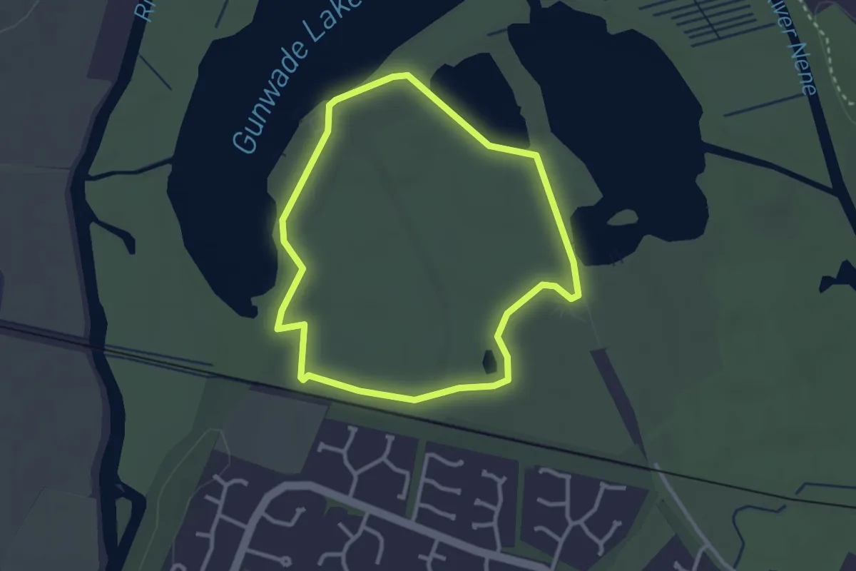
Easy · Trail
Wildflower Trail
2.4 km · ↑ 0 m · 36 min
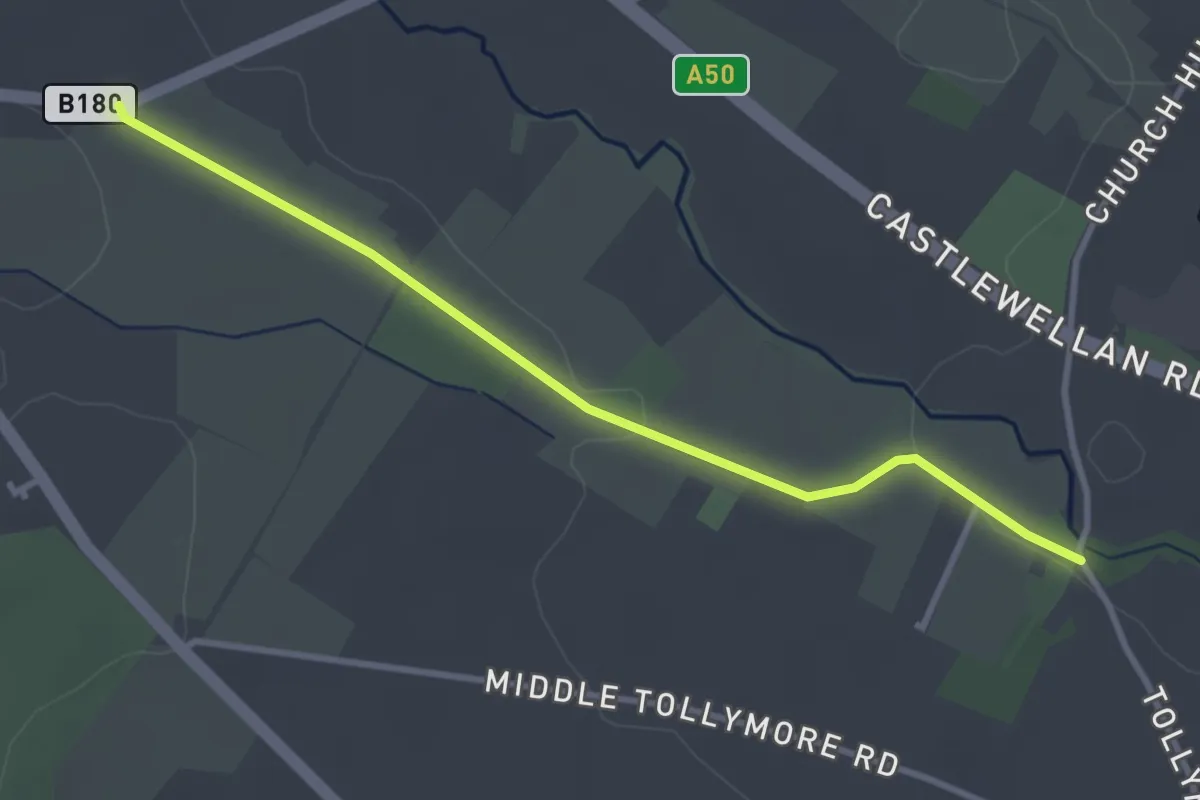
Easy · Trail
Wild Forest Lane
2.9 km · ↑ 31 m · 45 min
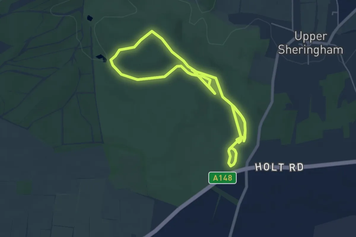
Easy · Trail
Wild Garden Route, Sheringham Park
3.9 km · ↑ 32 m · 1 h 3 min
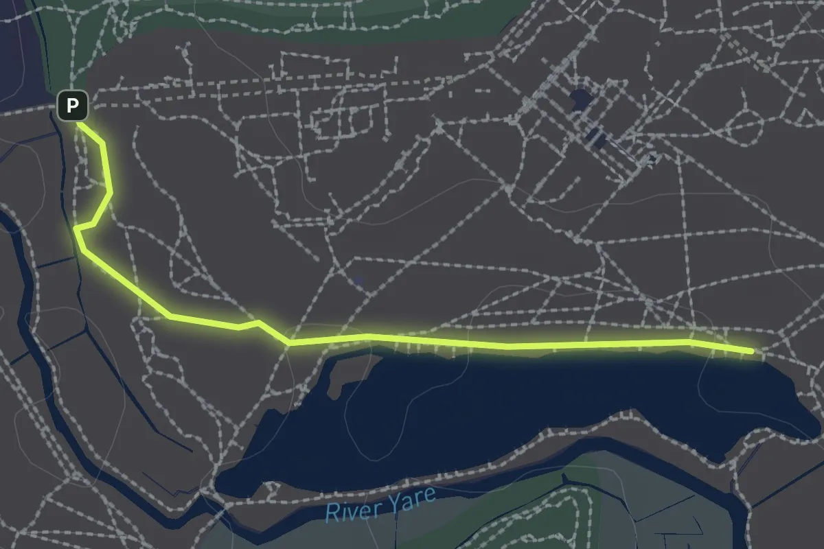
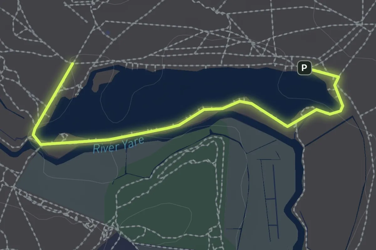
Easy · Trail
Wildlife Trail 2: Woodland and Grass Meadow
2.1 km · ↑ 0 m · 30 min
Easy · Trail
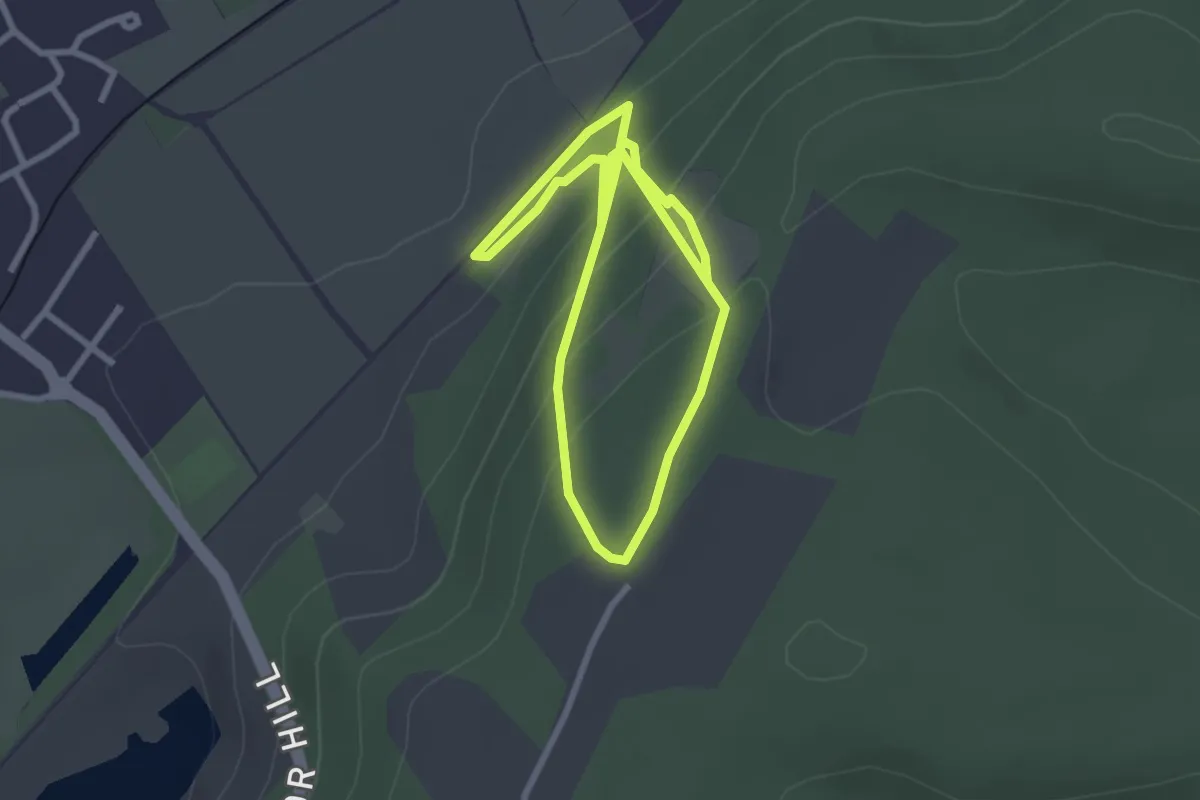
Wildlife Trail 3: UEA Broad
2.4 km · ↑ 0 m · 33 min
Easy · Trail
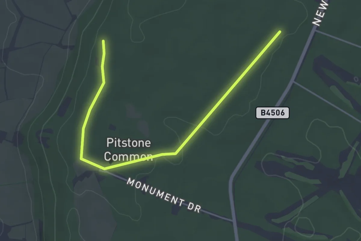
Wildlife Walk
4.7 km · ↑ 284 m · 1 h 43 min
Easy · Trail
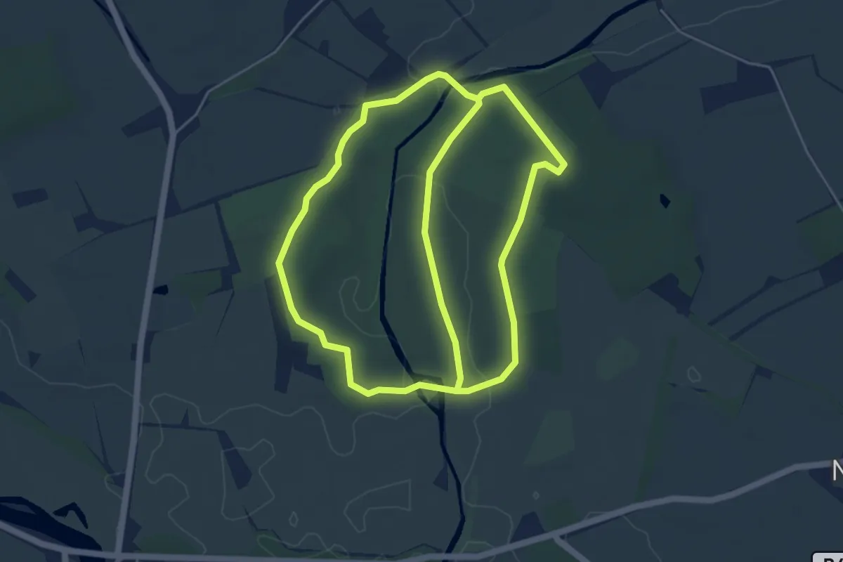
Wildlife Walk, Ashridge Estate
2.1 km · ↑ 8 m · 33 min
Easy · Trail
Wildlife Walk, Attingham Park
4.5 km · ↑ 17 m · 1 h 10 min
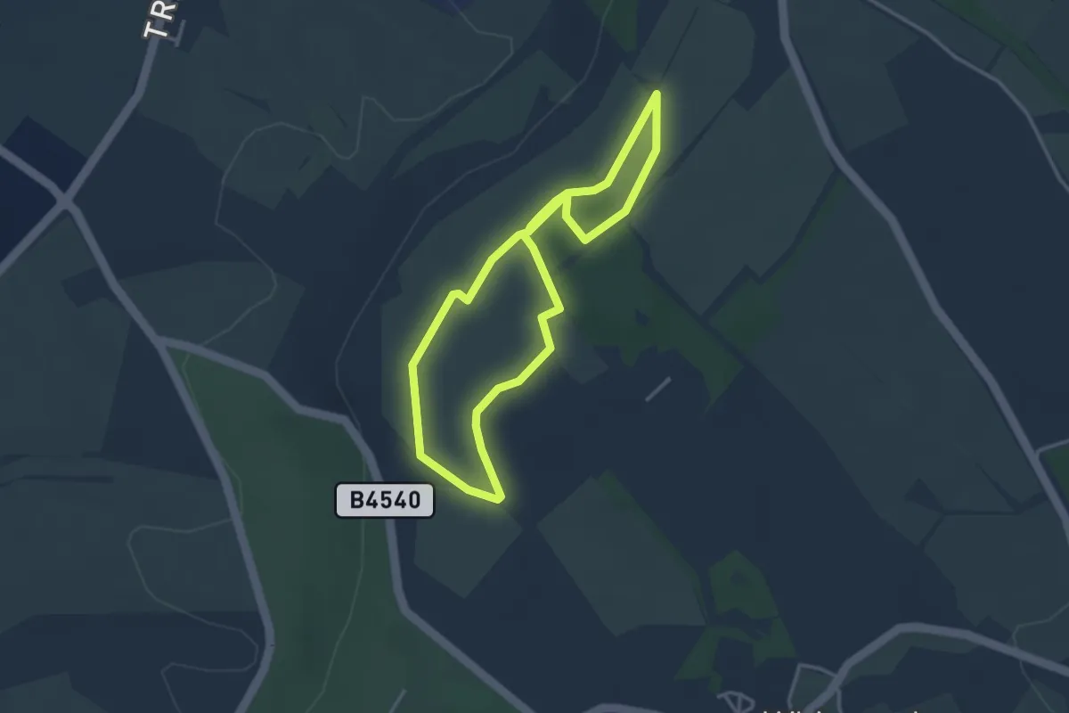
Easy · Trail
Wildlife Walk, Dunstable Downs and Whipsnade Estate
2.8 km · ↑ 23 m · 46 min
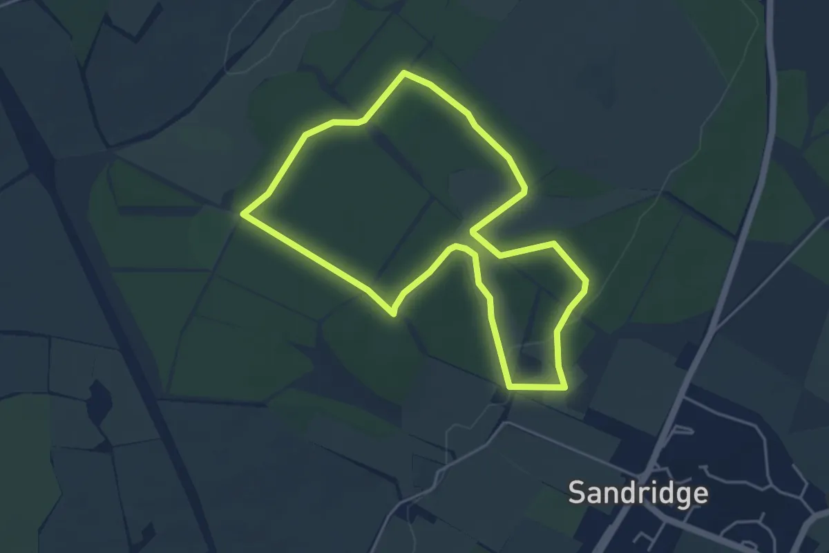
Easy · Trail
Wildlife Wander
3.8 km · ↑ 27 m · 1 h 1 min
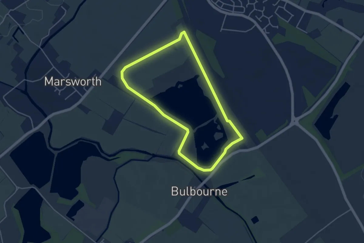
Easy · Trail
Wild Trail
3.4 km · ↑ 14 m · 52 min
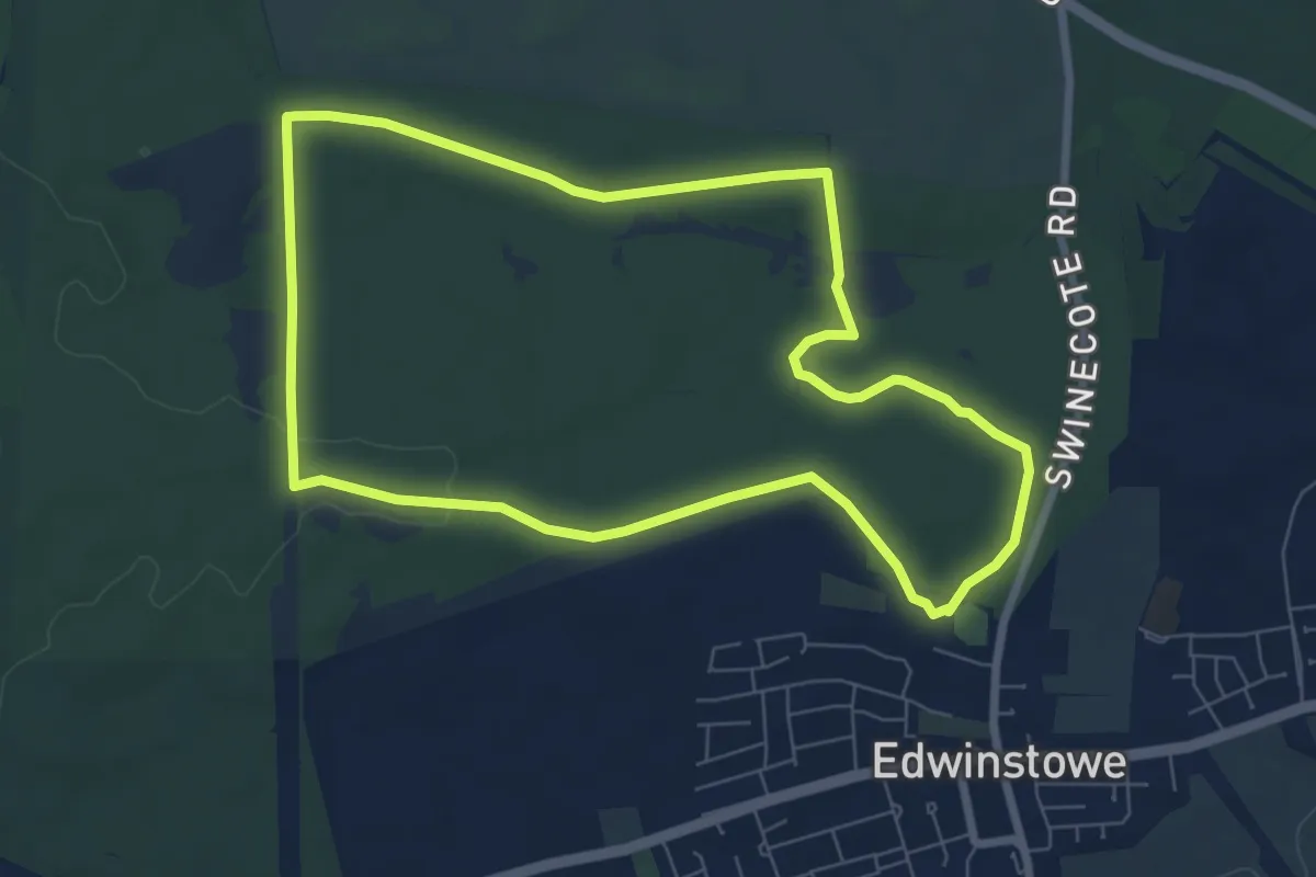
Easy · Trail
Wildwood Trail
6.4 km · ↑ 41 m · 1 h 41 min
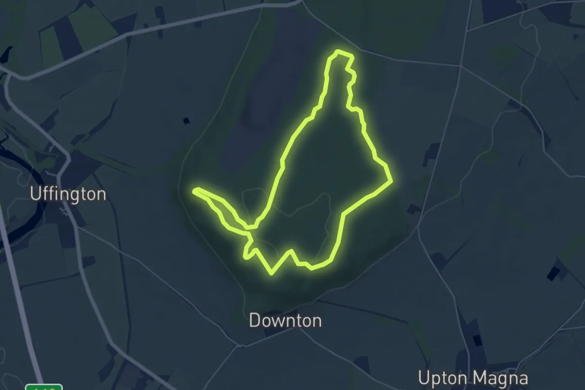
Easy · Summit
Wilfred's Walk
4.9 km · ↑ 31 m · 1 h 17 min
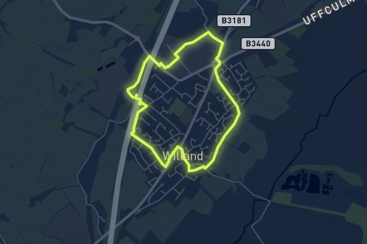
Easy · Trail
Willand Village Trail
4.1 km · ↑ 13 m · 1 h 3 min
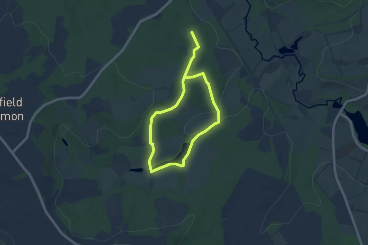
Easy · Trail
William Robinson Woodland Trail
6.0 km · ↑ 124 m · 1 h 41 min
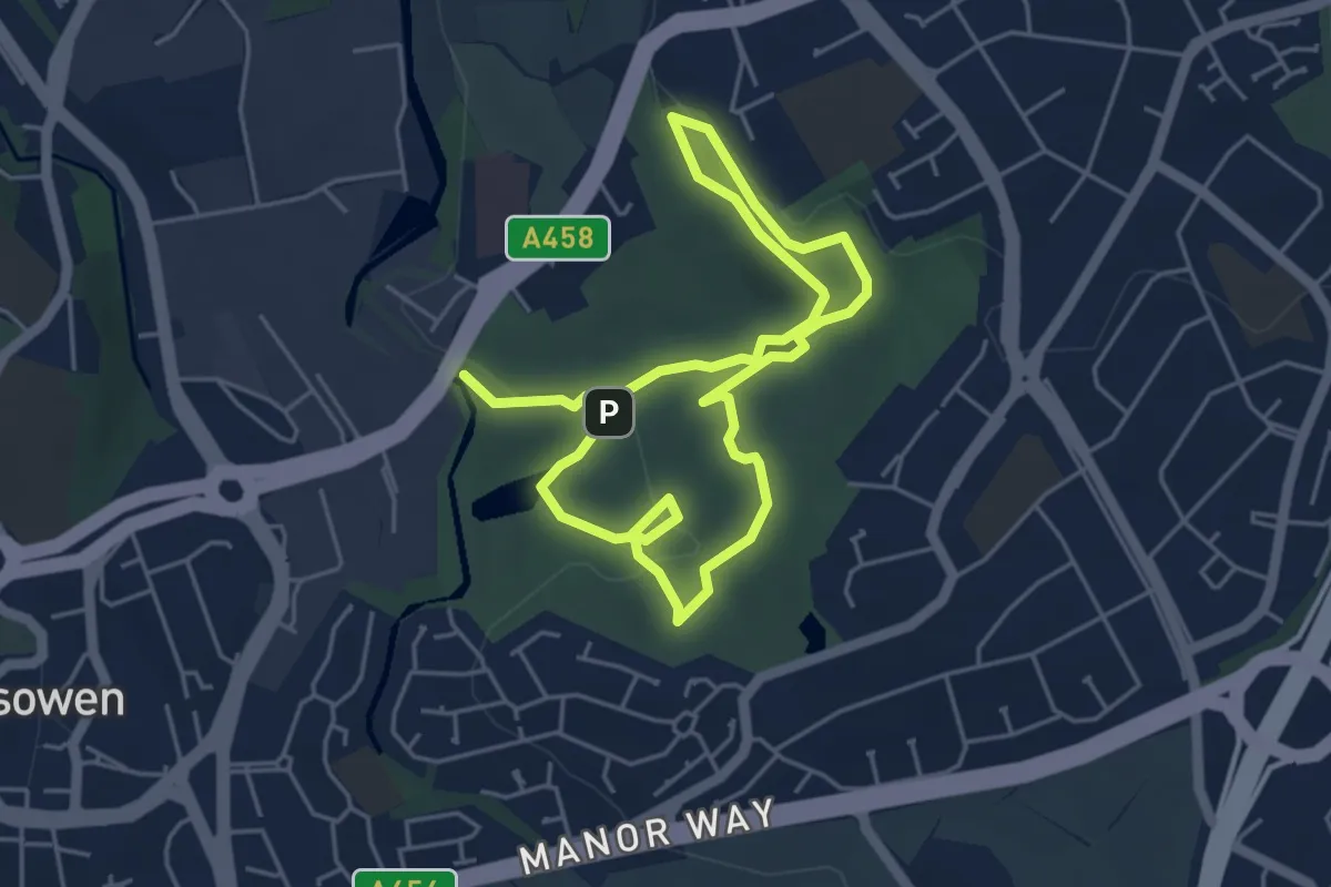
Easy · Trail
William Shenstone & The Leasowes Historical Trail
3.7 km · ↑ 99 m · 1 h 9 min
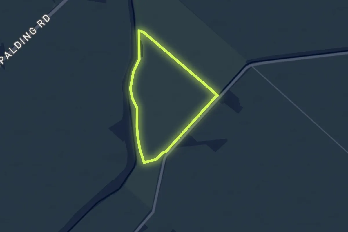
Easy · Trail
Willow Tree Fen Blue intermediate route
3.0 km · ↑ 0 m · 45 min
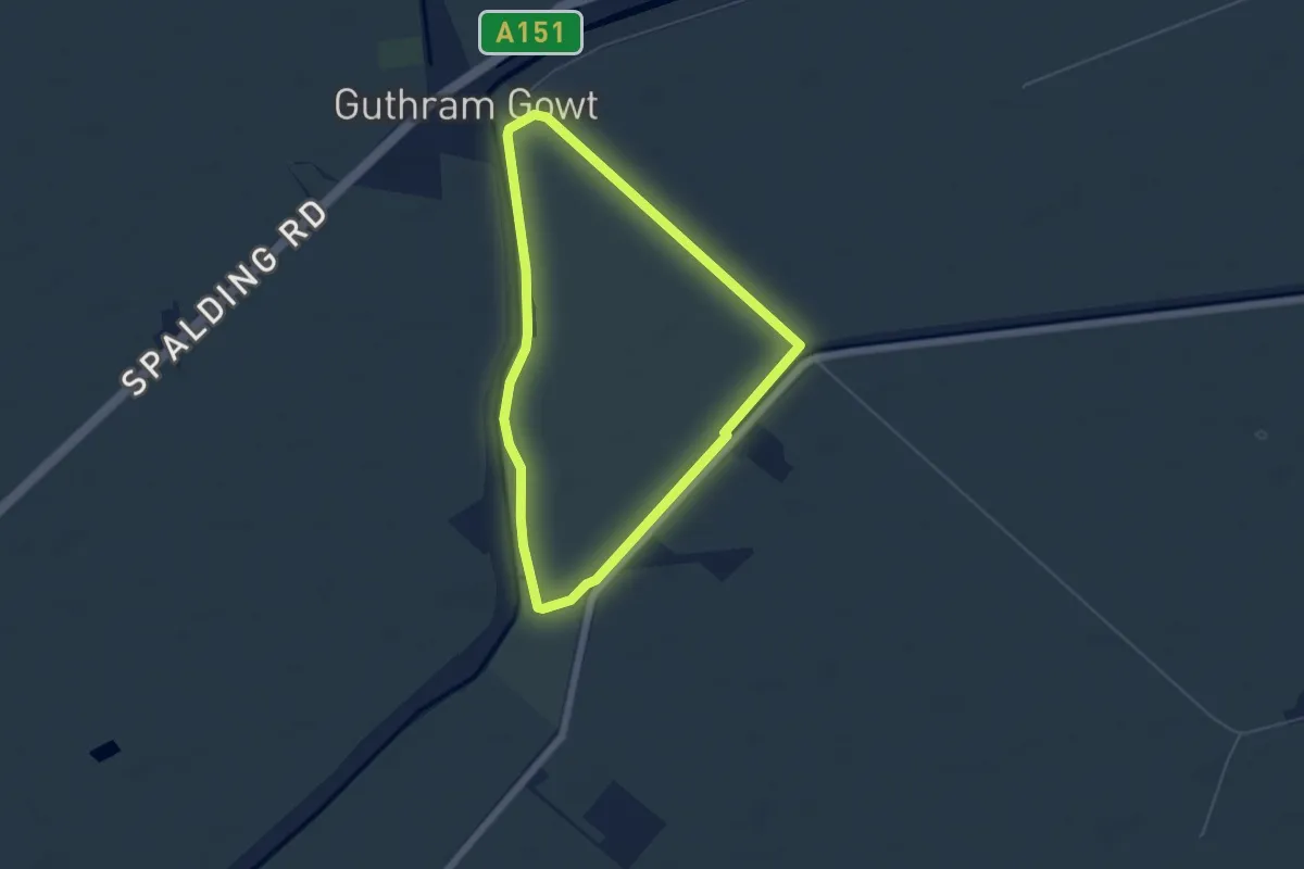
Easy · Trail
Willow Tree Fen Green perimeter route
4.3 km · ↑ 0 m · 1 h 5 min
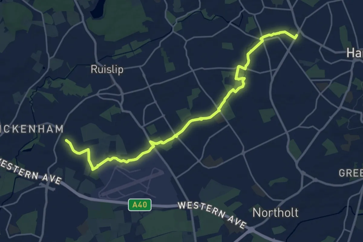
Medium · Trail
Willow Tree Wander
17.8 km · ↑ 29 m · 4 h 16 min
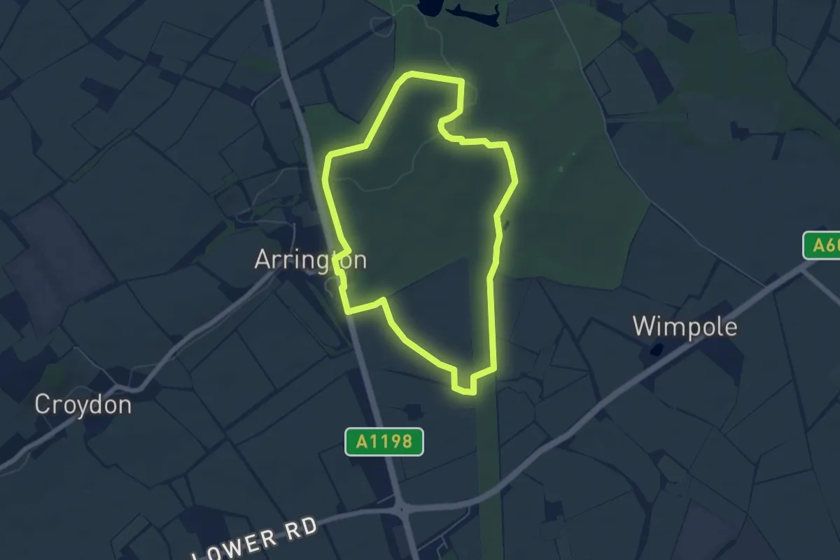
Easy · Trail
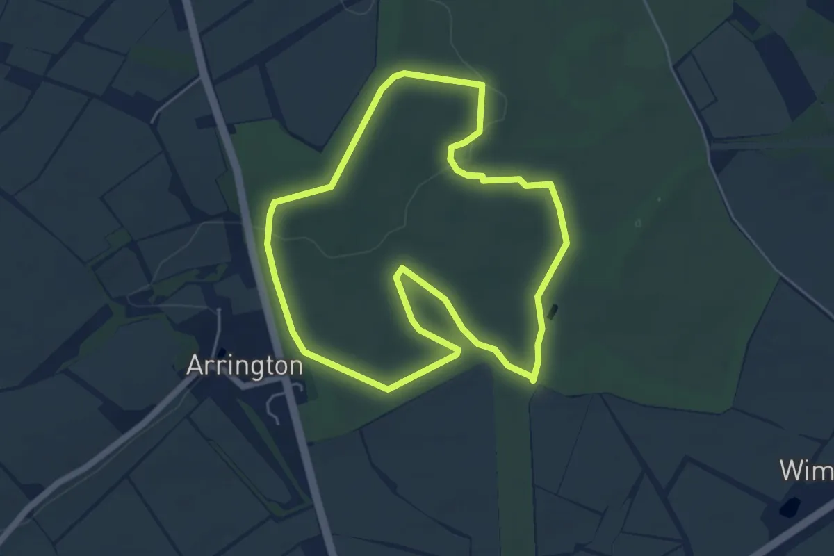
Wimpole Estate Arrington Longer Walk
5.1 km · ↑ 49 m · 1 h 23 min
Easy · Trail
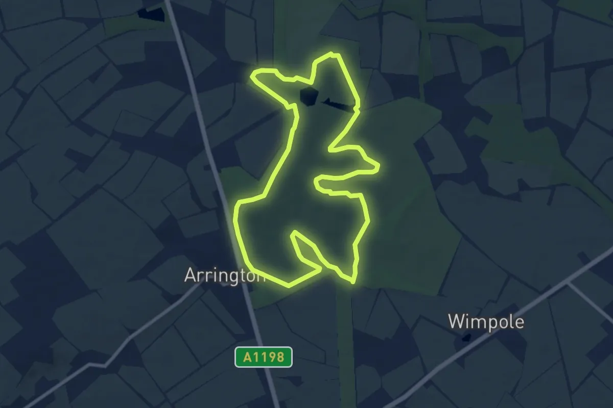
Wimpole Estate Arrington Walk
4.6 km · ↑ 45 m · 1 h 15 min
Easy · Trail
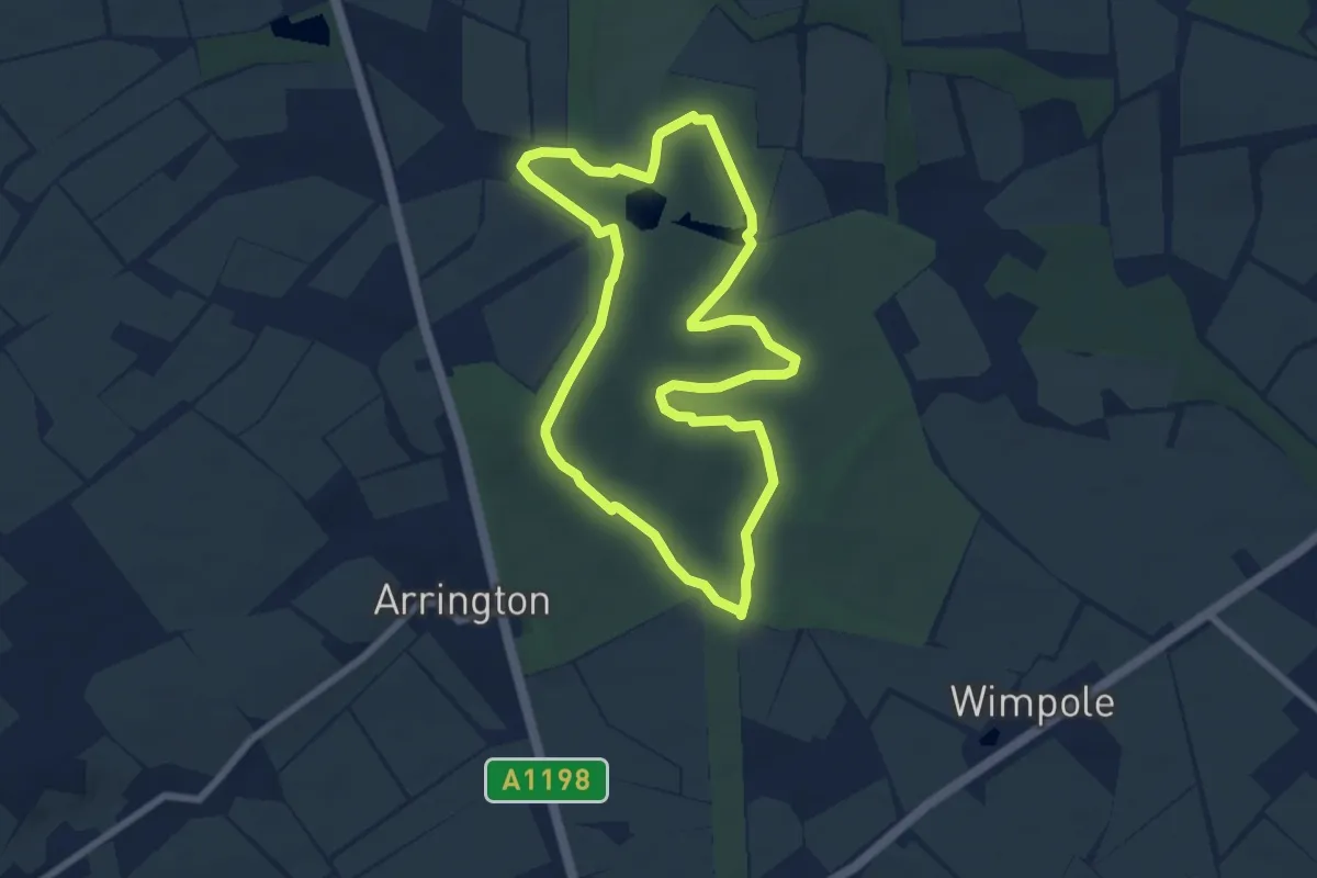
Wimpole Estate Centre Park Longer Walk
7.5 km · ↑ 71 m · 2 h 2 min
Easy · Trail
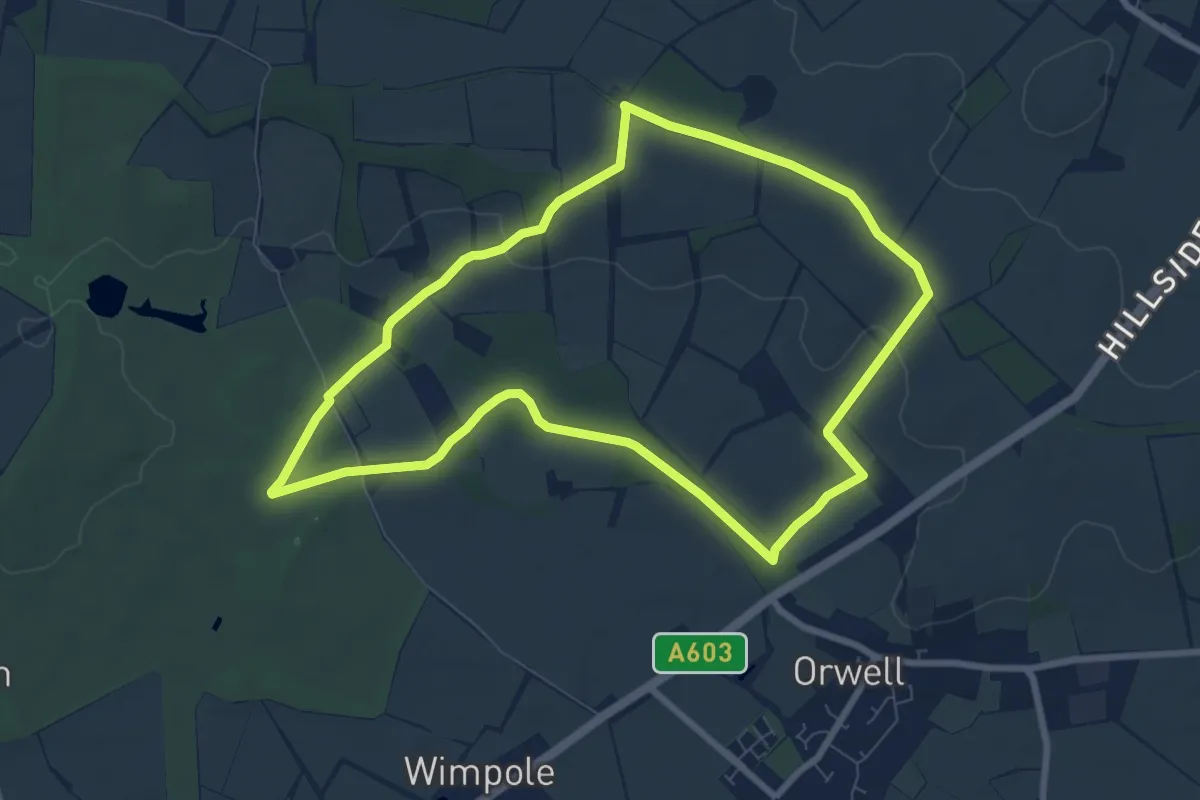
Wimpole Estate Centre Park Walk
6.2 km · ↑ 68 m · 1 h 41 min
Easy · Summit
Wimpole Estate Chalk Ridge Walk
7.1 km · ↑ 42 m · 1 h 52 min