Trails in United Kingdom
3,857 hiking trails, each with its route, climb, walking time and grade.
All trails, page 78 of 81
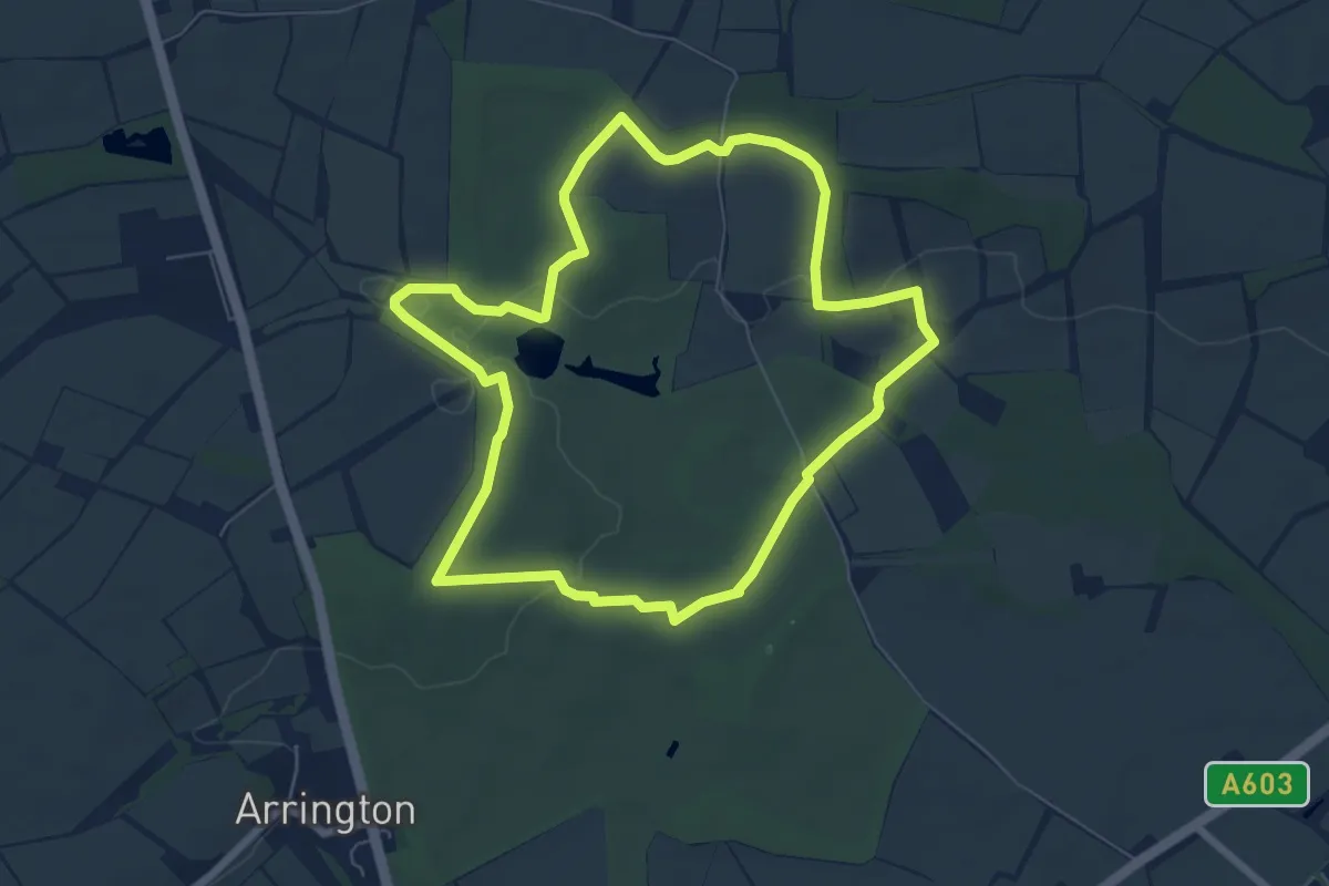
Easy · Trail
Wimpole Estate Folly Central Walk
6.1 km · ↑ 68 m · 1 h 41 min
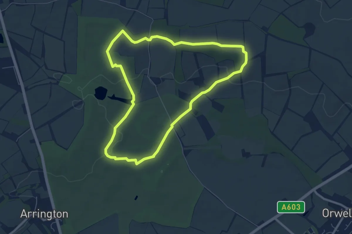
Easy · Trail
Wimpole Estate Folly East Walk
5.8 km · ↑ 62 m · 1 h 35 min
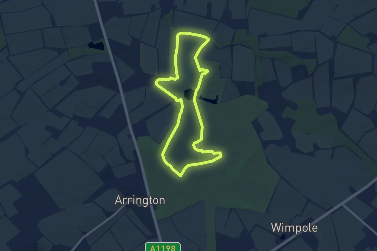
Easy · Trail
Wimpole Estate Folly West Walk
5.8 km · ↑ 67 m · 1 h 36 min
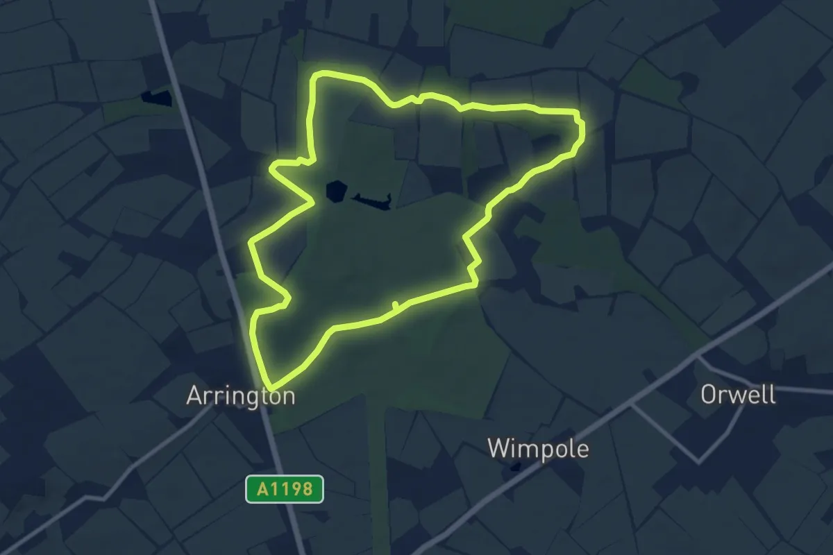
Medium · Trail
Wimpole Estate Multi-Use Trail Walk
8.5 km · ↑ 87 m · 2 h 19 min
Easy · Trail
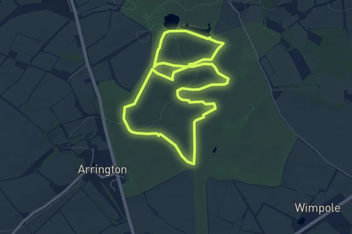
Wimpole Estate Zigzag Walk
5.8 km · ↑ 63 m · 1 h 35 min
Demanding · Trail
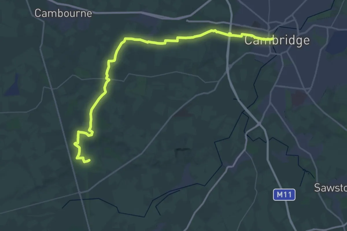
Wimpole Way
20.5 km · ↑ 115 m · 5 h 24 min
Demanding · Summit
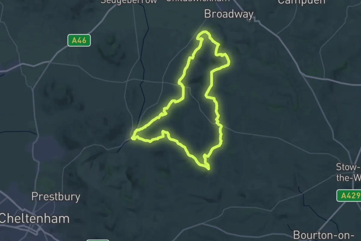
Winchcombe Way (East)
34.7 km · ↑ 613 m · 10 h
Demanding · Summit
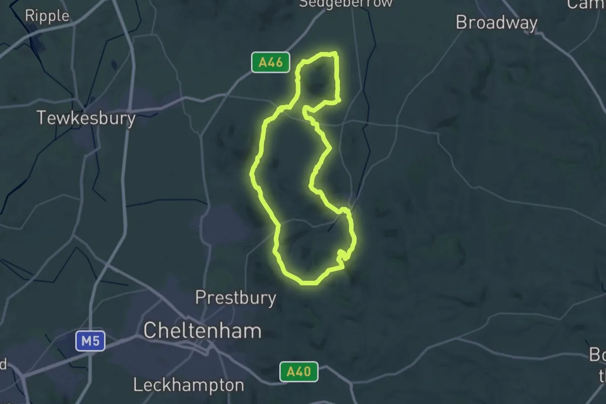
Winchcombe Way (West)
33.2 km · ↑ 605 m · 9 h 37 min
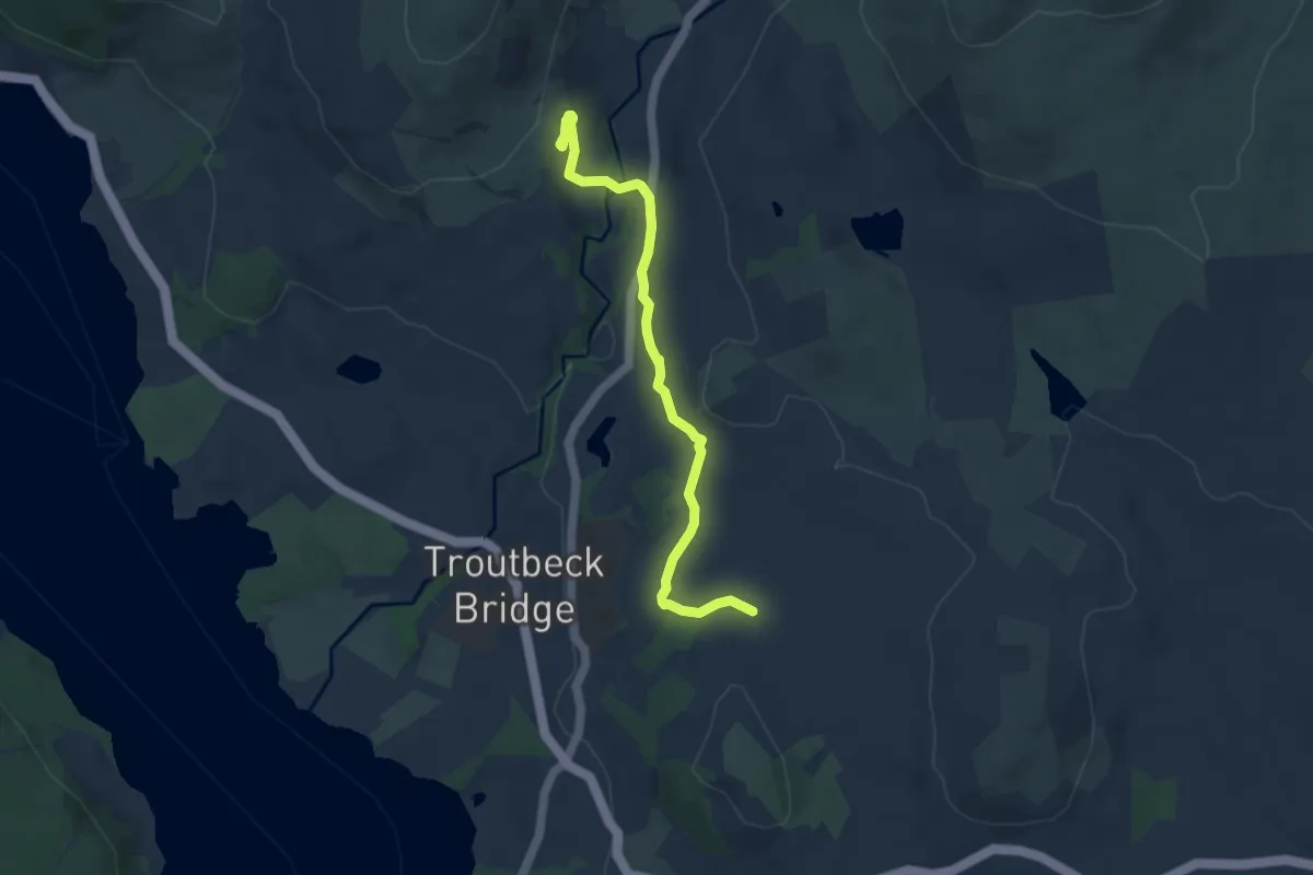
Easy · Trail
Windermere to Townend walk, Windermere
3.5 km · ↑ 94 m · 1 h 5 min
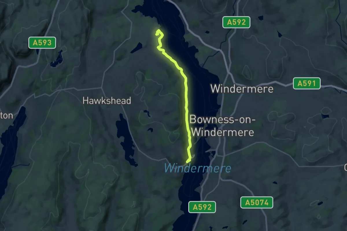
Medium · Trail
Windermere West Shore Walk, Claife Viewing Station
14.1 km · ↑ 126 m · 3 h 36 min
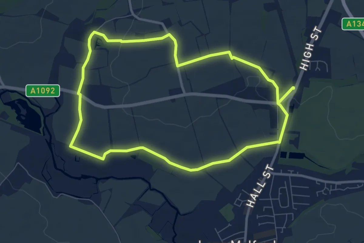
Easy · Trail
Windmill Hill Walk, Melford Hall
6.4 km · ↑ 37 m · 1 h 40 min
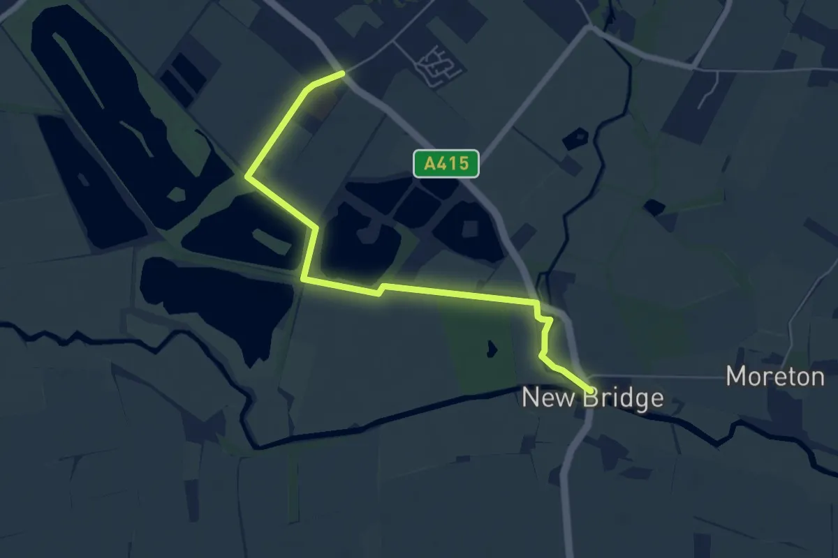
Easy · Trail
Windrush Path
5.5 km · ↑ 0 m · 1 h 18 min
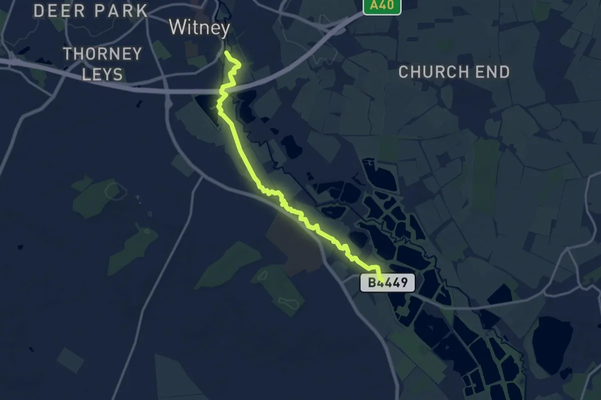
Medium · Trail
Windrush Path
10.9 km · ↑ 4 m · 2 h 35 min
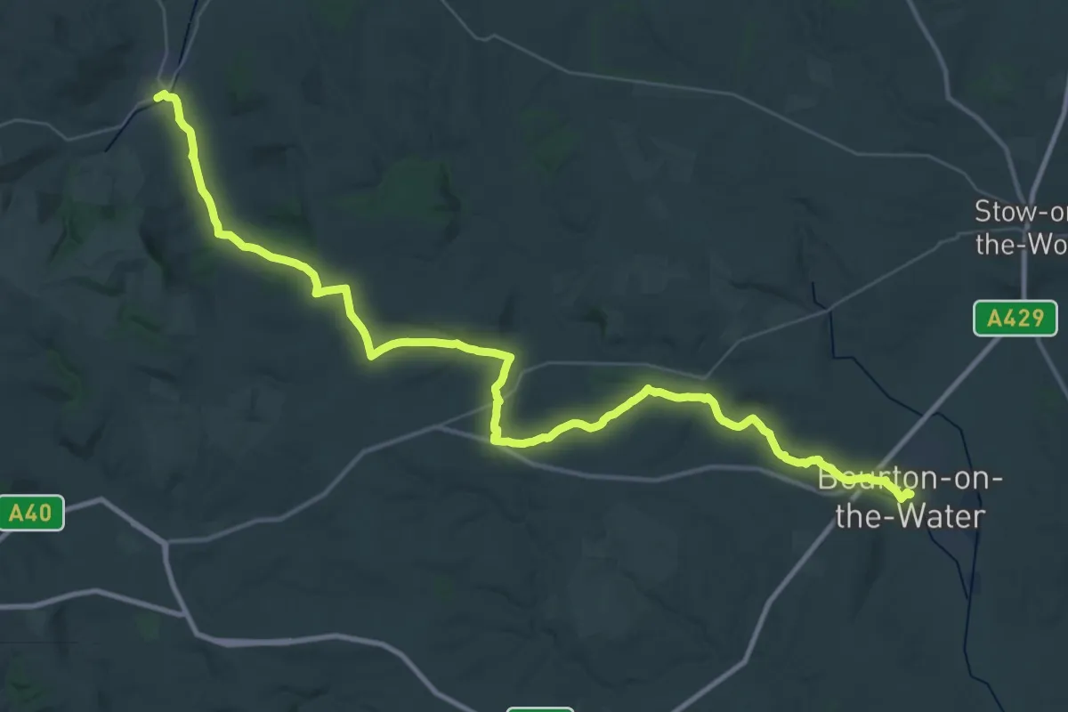
Demanding · Trail
Windrush Way
21.8 km · ↑ 332 m · 6 h 10 min
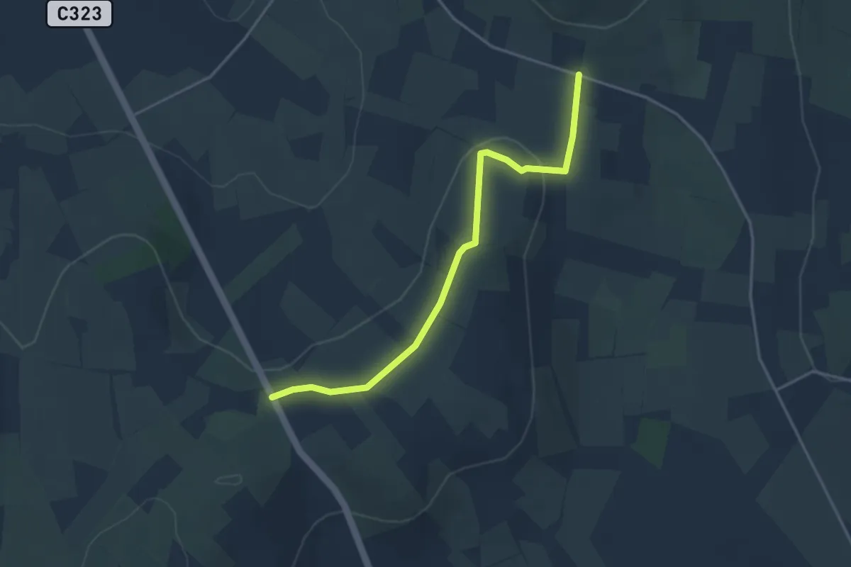
Easy · Trail
Windy Gap Pad
3.1 km · ↑ 73 m · 54 min
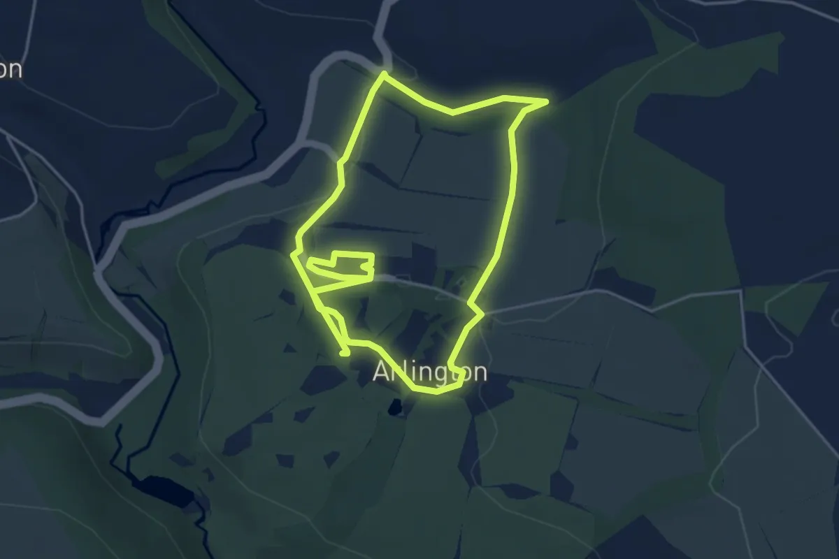
Easy · Trail
Winford Valley walk at Arlington Court, Arlington Court
3.8 km · ↑ 75 m · 1 h 7 min
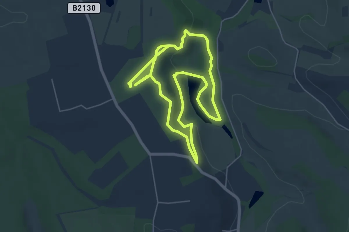
Easy · Trail
Winkworth Route, Winkworth
4.1 km · ↑ 107 m · 1 h 15 min
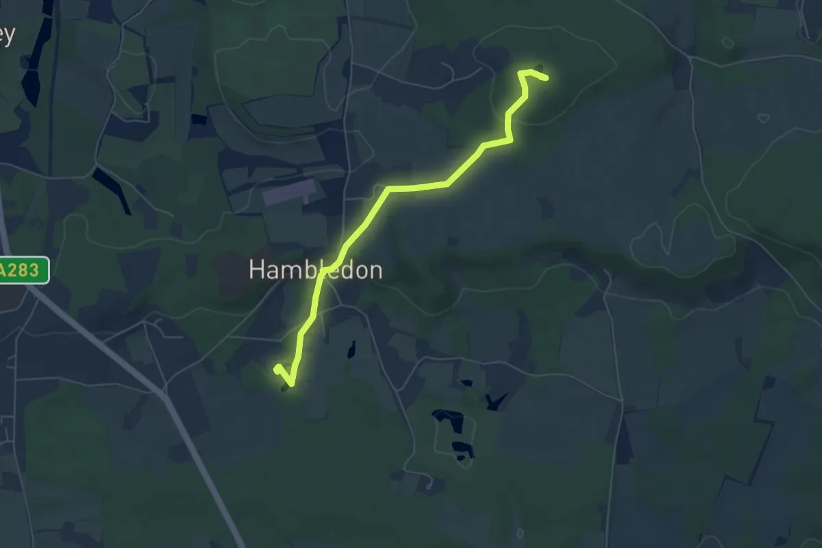
Easy · Summit
Winkworth to Oakhurst Wonder Walk, Winkworth
5.5 km · ↑ 127 m · 1 h 34 min
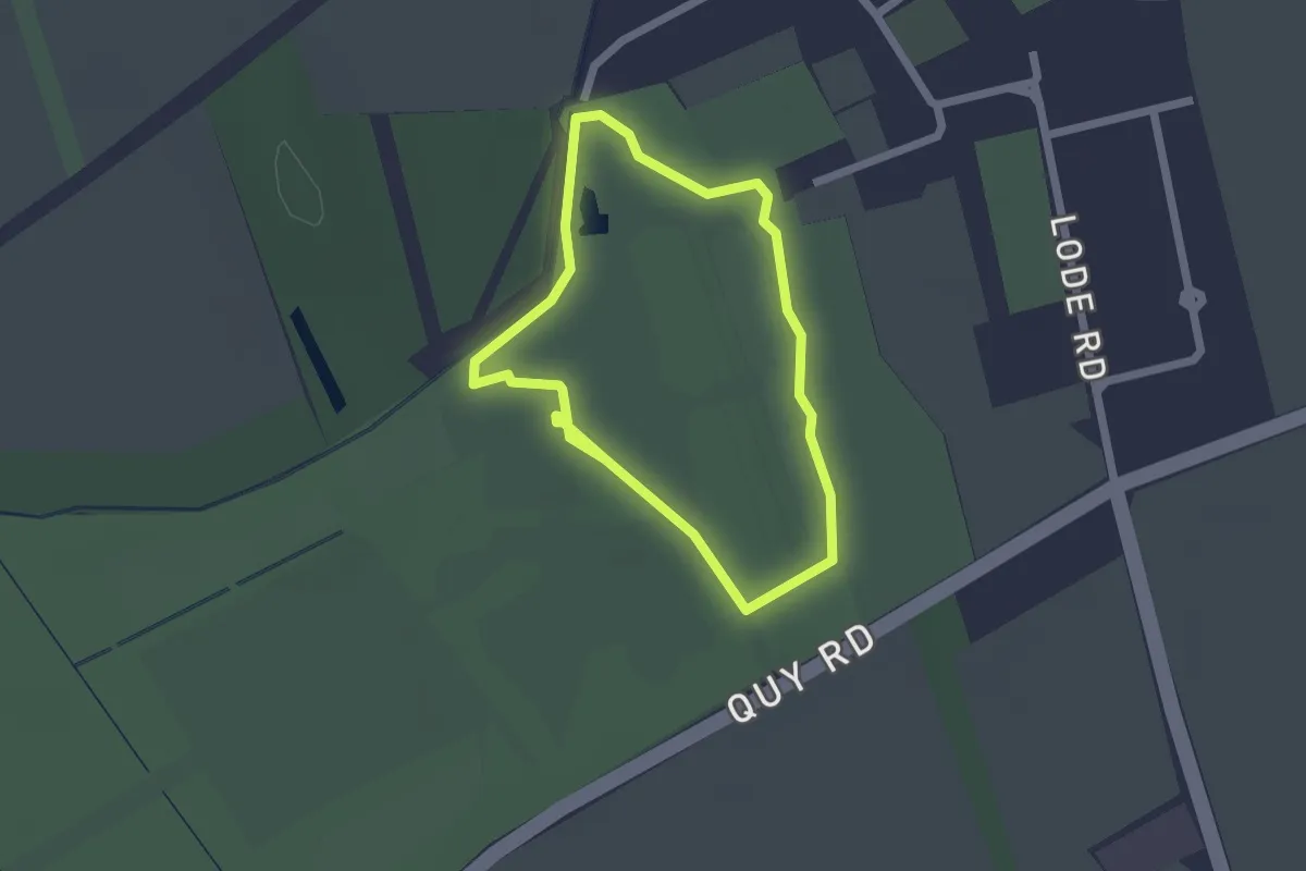
Easy · Trail
Winter Garden Route, Anglesey Abbey
1.5 km · ↑ 0 m · 23 min
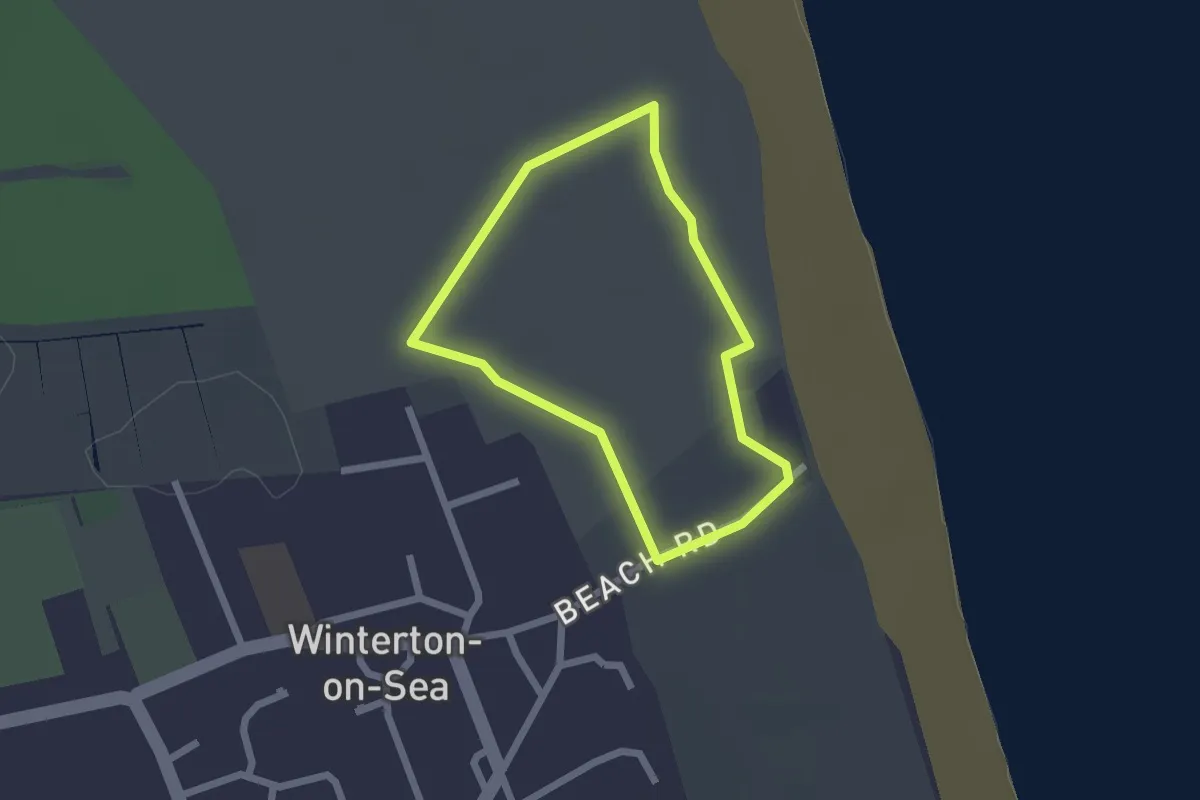
Easy · Trail
Winterton Dunes Circular
1.5 km · ↑ 4 m · 23 min
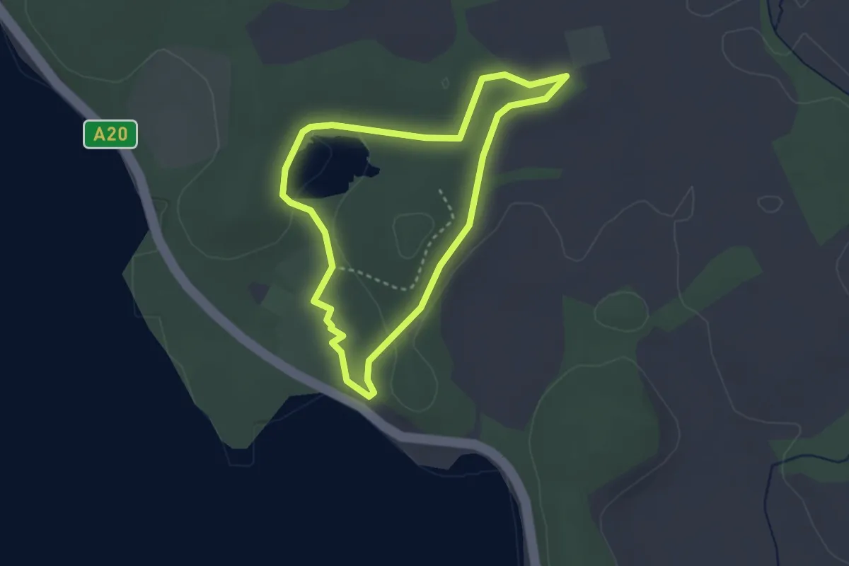
Easy · Trail
Winter Walk, Mount Stewart
2.4 km · ↑ 20 m · 38 min
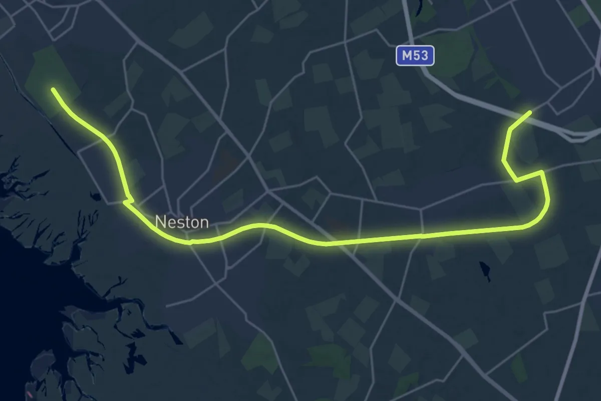
Demanding · Trail
Wirral Circular Trail
23.6 km · ↑ 75 m · 5 h 44 min
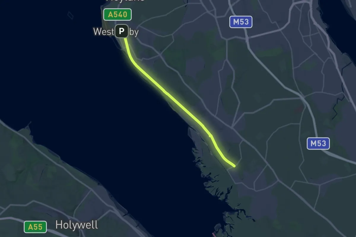
Demanding · Trail
Wirral Way
21.2 km · ↑ 34 m · 5 h 4 min
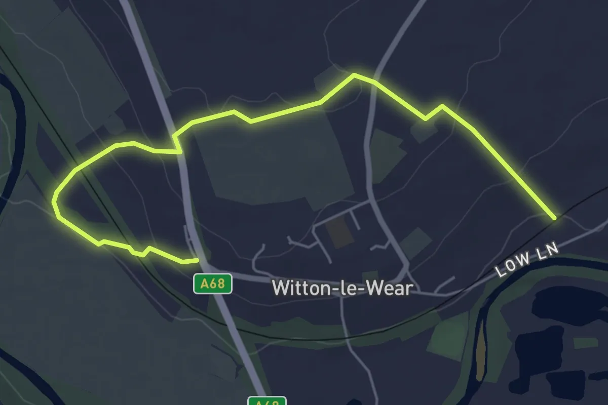
Easy · Trail
Witon-le-Wear Circular Walk 2
5.1 km · ↑ 153 m · 1 h 33 min
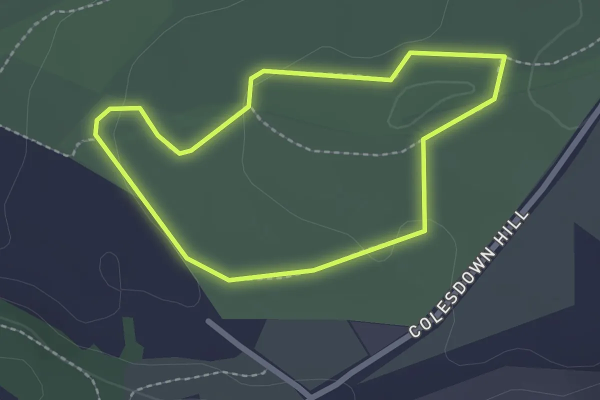
Easy · Trail
Wixenford Way, Saltram
1.7 km · ↑ 13 m · 27 min
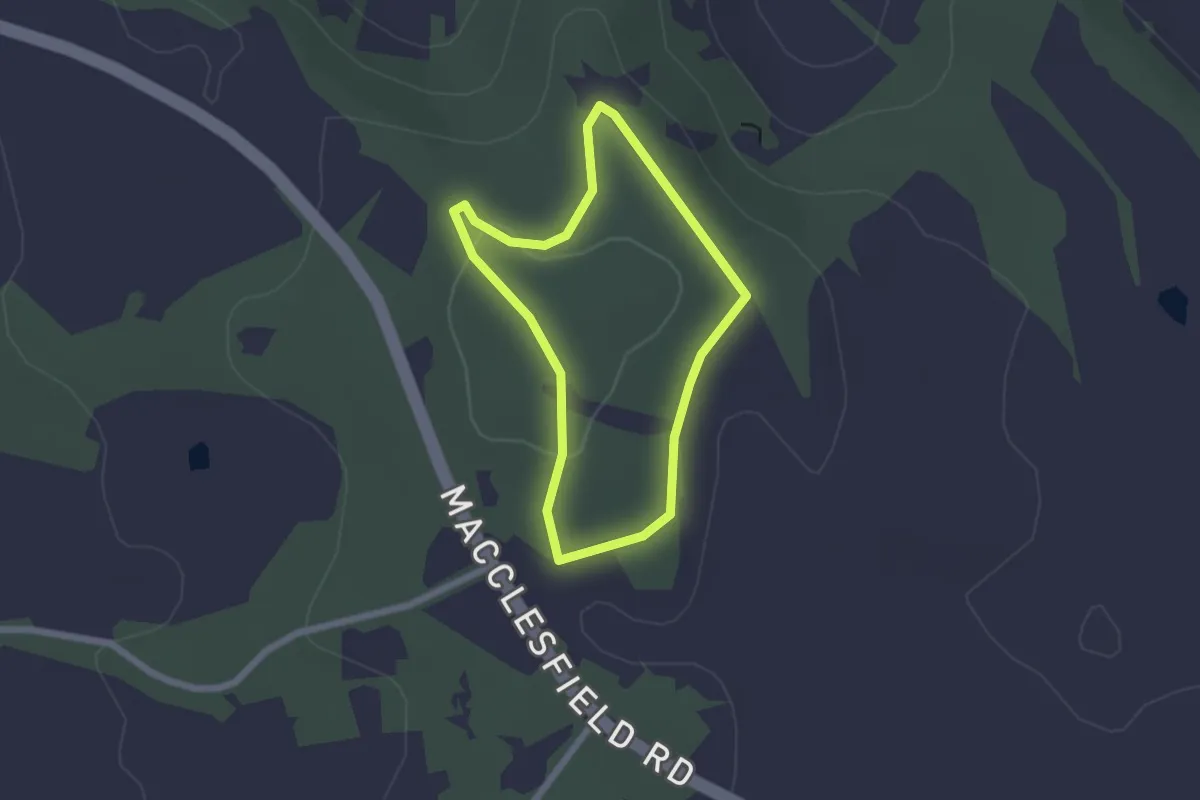
Easy · Summit
Wizard Walk
1.6 km · ↑ 9 m · 24 min
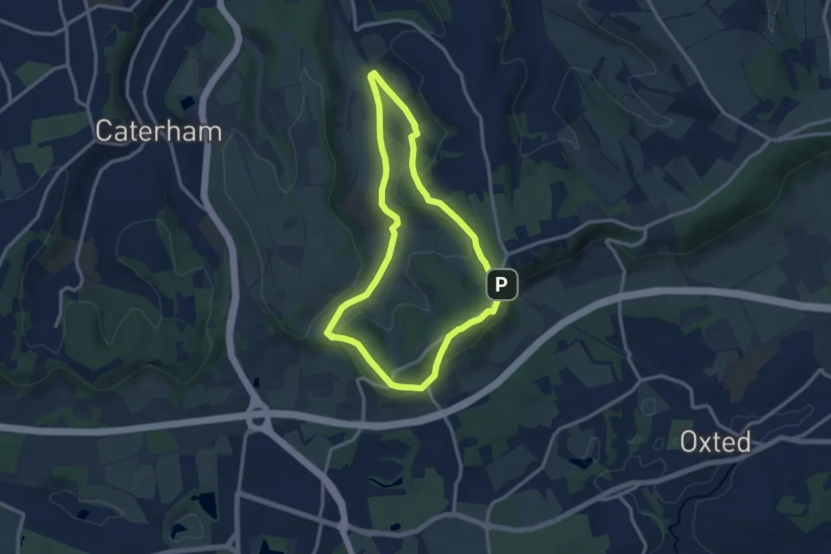
Easy · Trail
Woldingham Countryside Walk
7.6 km · ↑ 169 m · 2 h 16 min
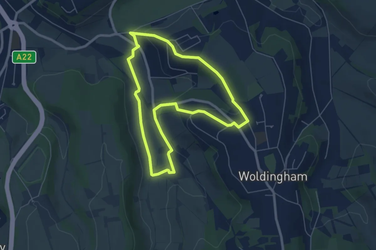
Easy · Trail
Woldingham walk (SCC)
4.9 km · ↑ 112 m · 1 h 29 min
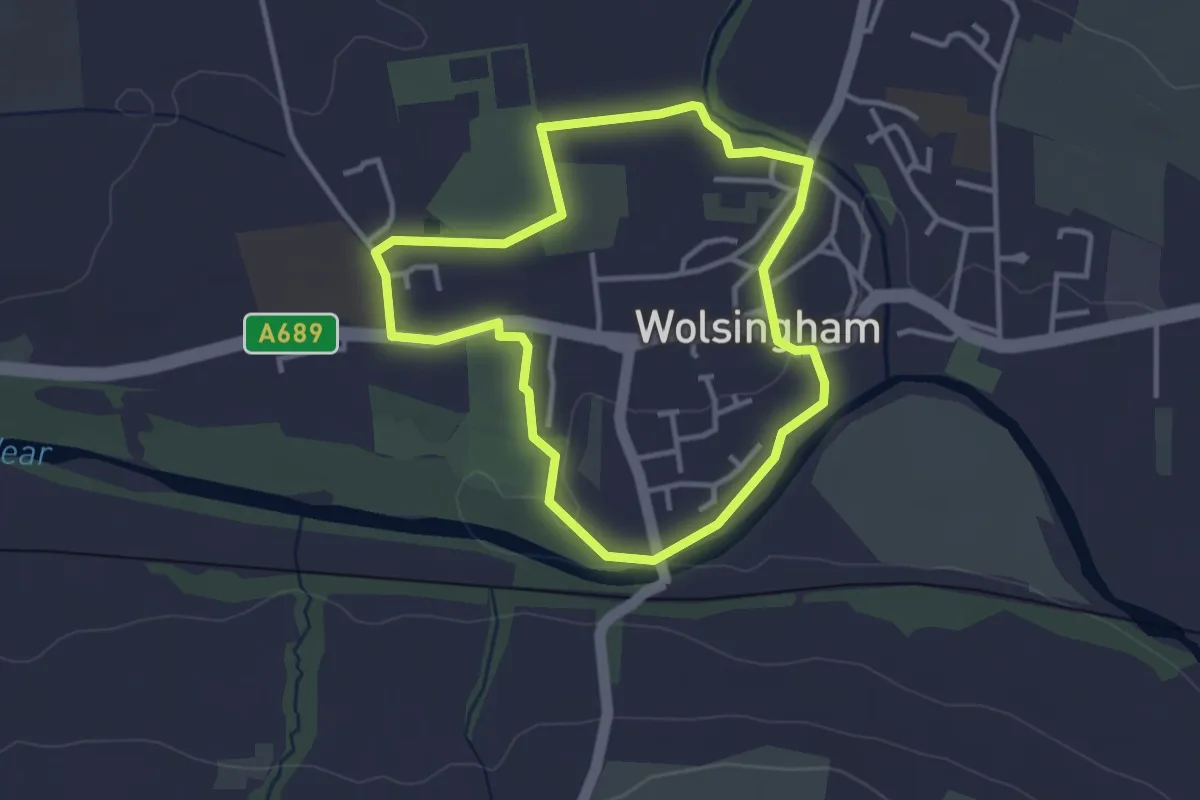
Easy · Trail
Wolsingham Family Walk
2.6 km · ↑ 13 m · 40 min
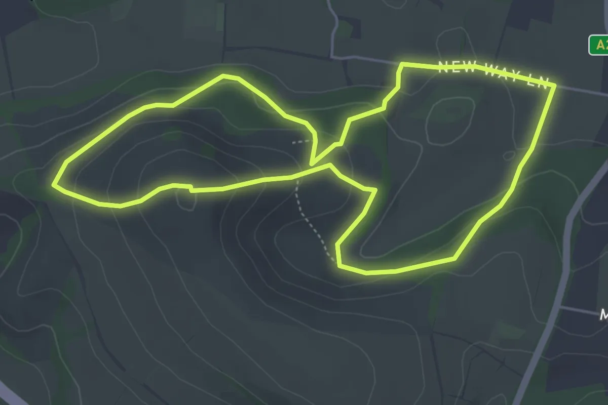
Easy · Summit
Wolstonbury Hill Explore Nature Walk, Sussex East
4.7 km · ↑ 192 m · 1 h 36 min
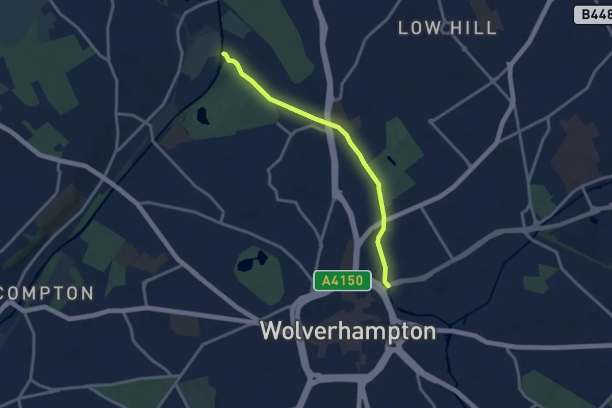
Easy · Trail
Wolverhampton Locks Walk
6.0 km · ↑ 35 m · 1 h 30 min
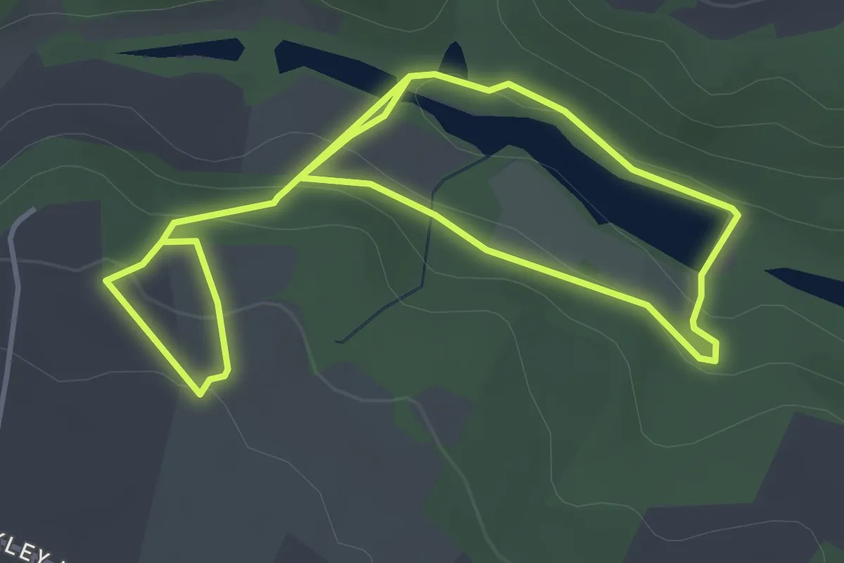
Easy · Trail
Woodchester Blue Trail
6.2 km · ↑ 229 m · 1 h 57 min
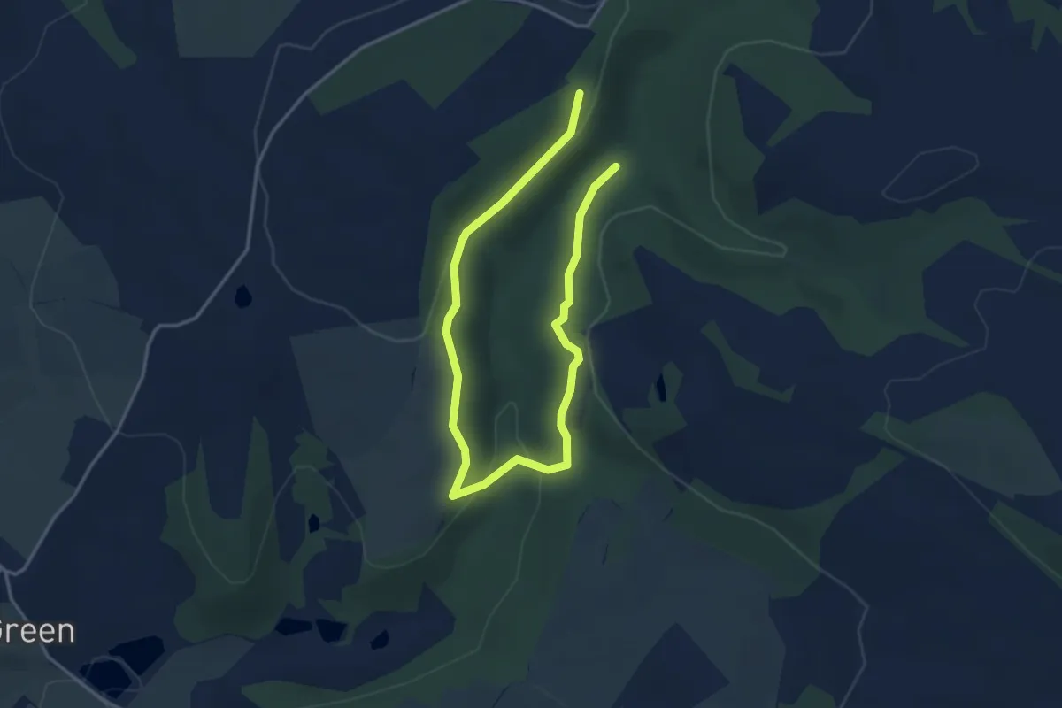
Easy · Trail
Woodcock Trail
4.5 km · ↑ 195 m · 1 h 29 min
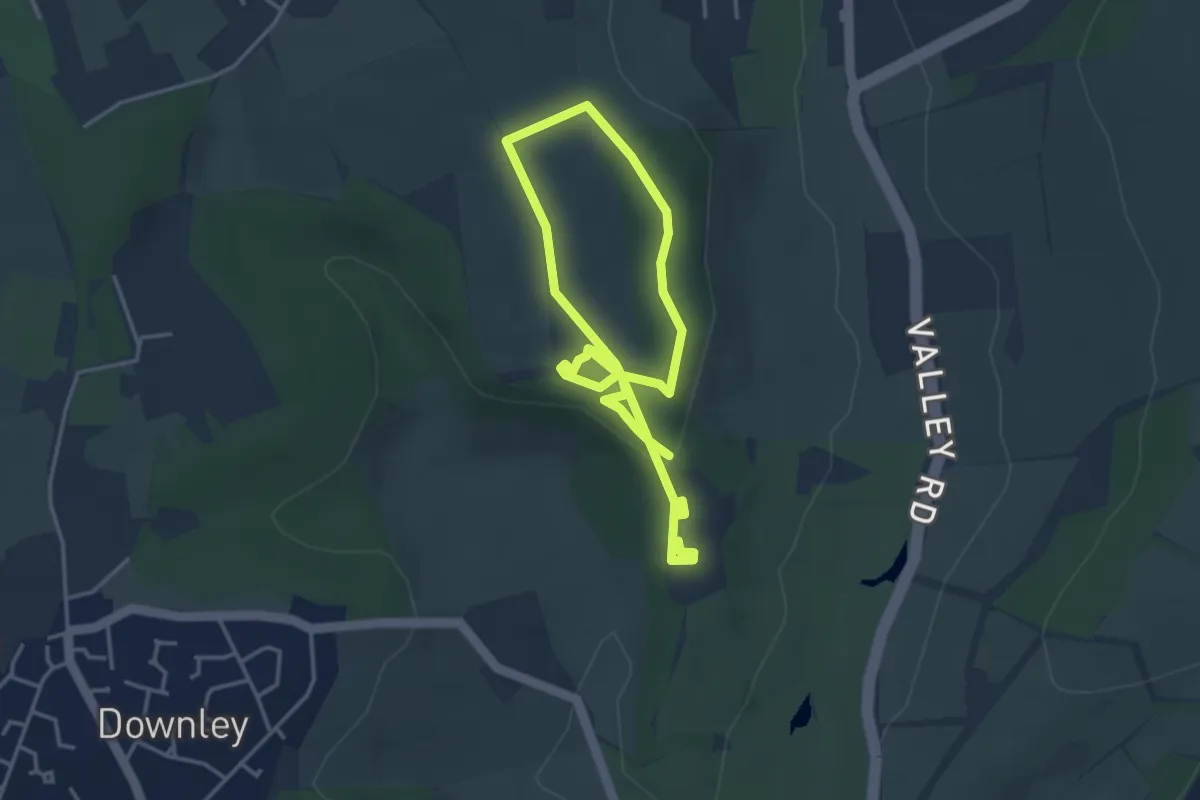
Easy · Trail
Woodcock Wood walk, Hughenden
3.2 km · ↑ 58 m · 55 min
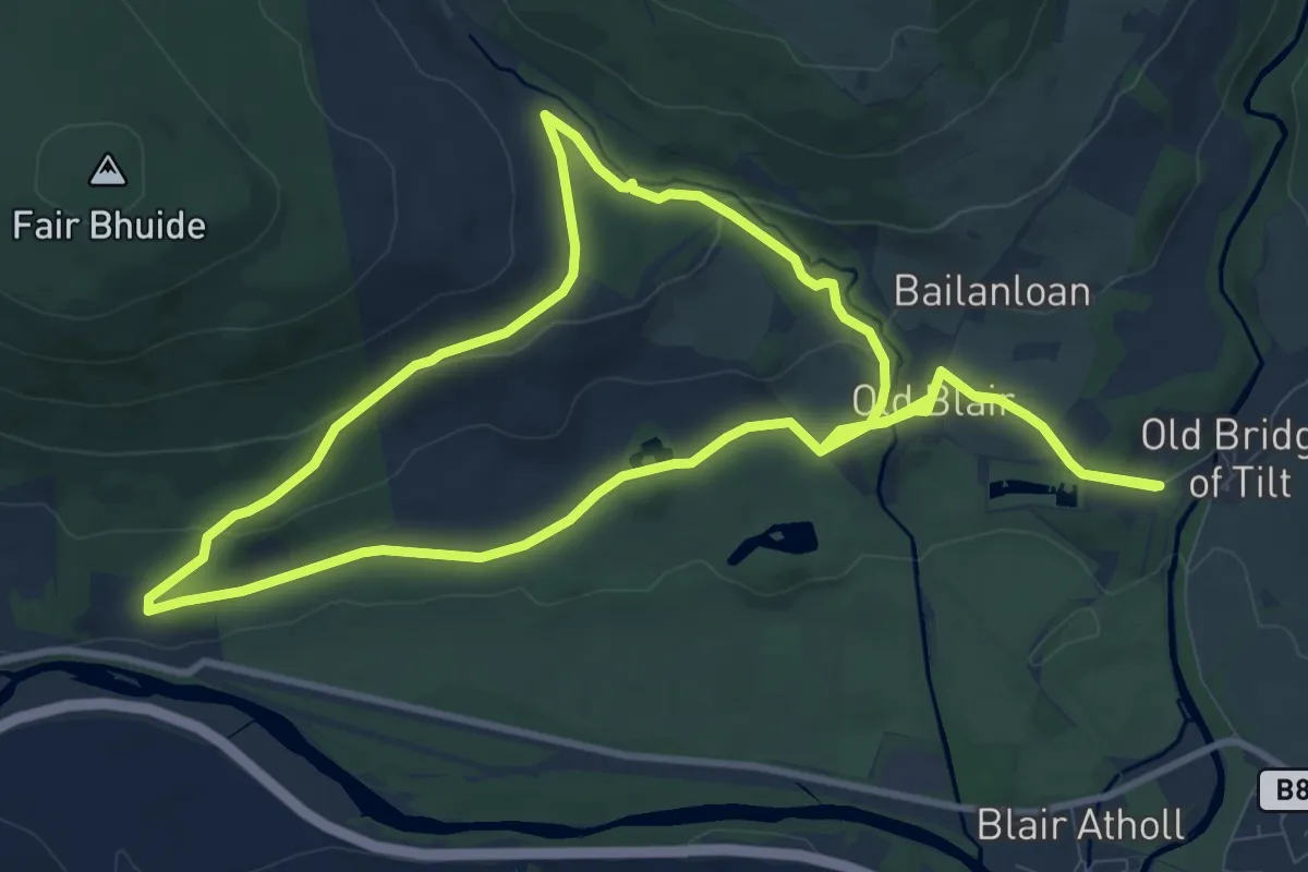
Medium · Trail
Woodend Walk
8.8 km · ↑ 149 m · 2 h 31 min
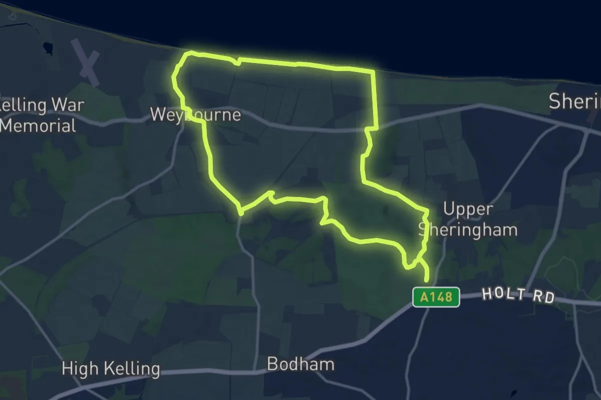
Medium · Trail
Woodland and Coastal Walk, Sheringham Park
10.8 km · ↑ 126 m · 2 h 58 min
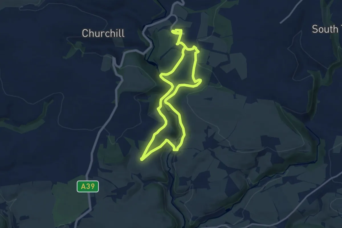
Medium · Trail
Woodland and Cott Brake circular walk at Arlington Court, Arlington Court
8.6 km · ↑ 254 m · 2 h 42 min
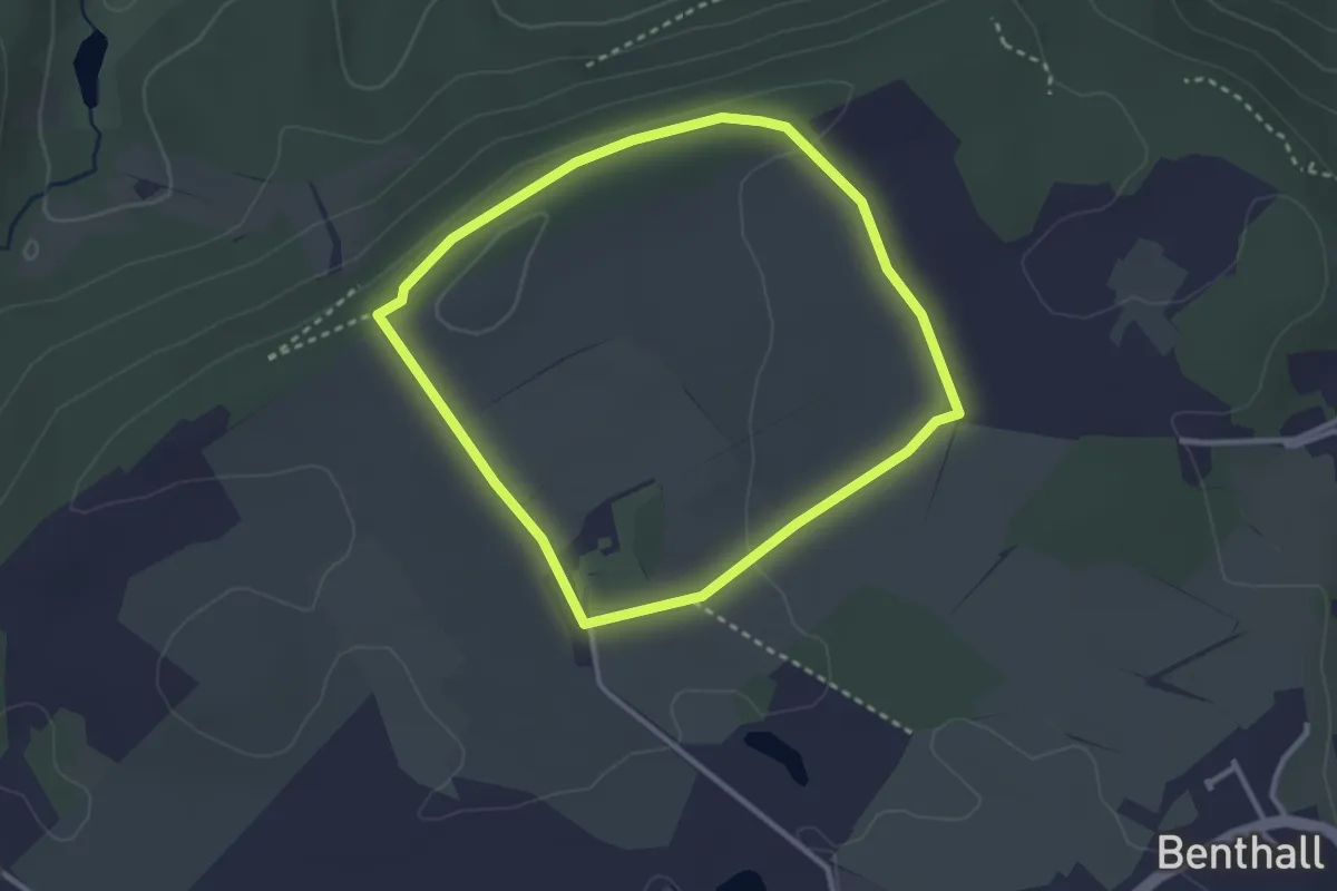
Easy · Trail
Woodland and Countryside Walk, Benthall Hall
2.4 km · ↑ 34 m · 41 min
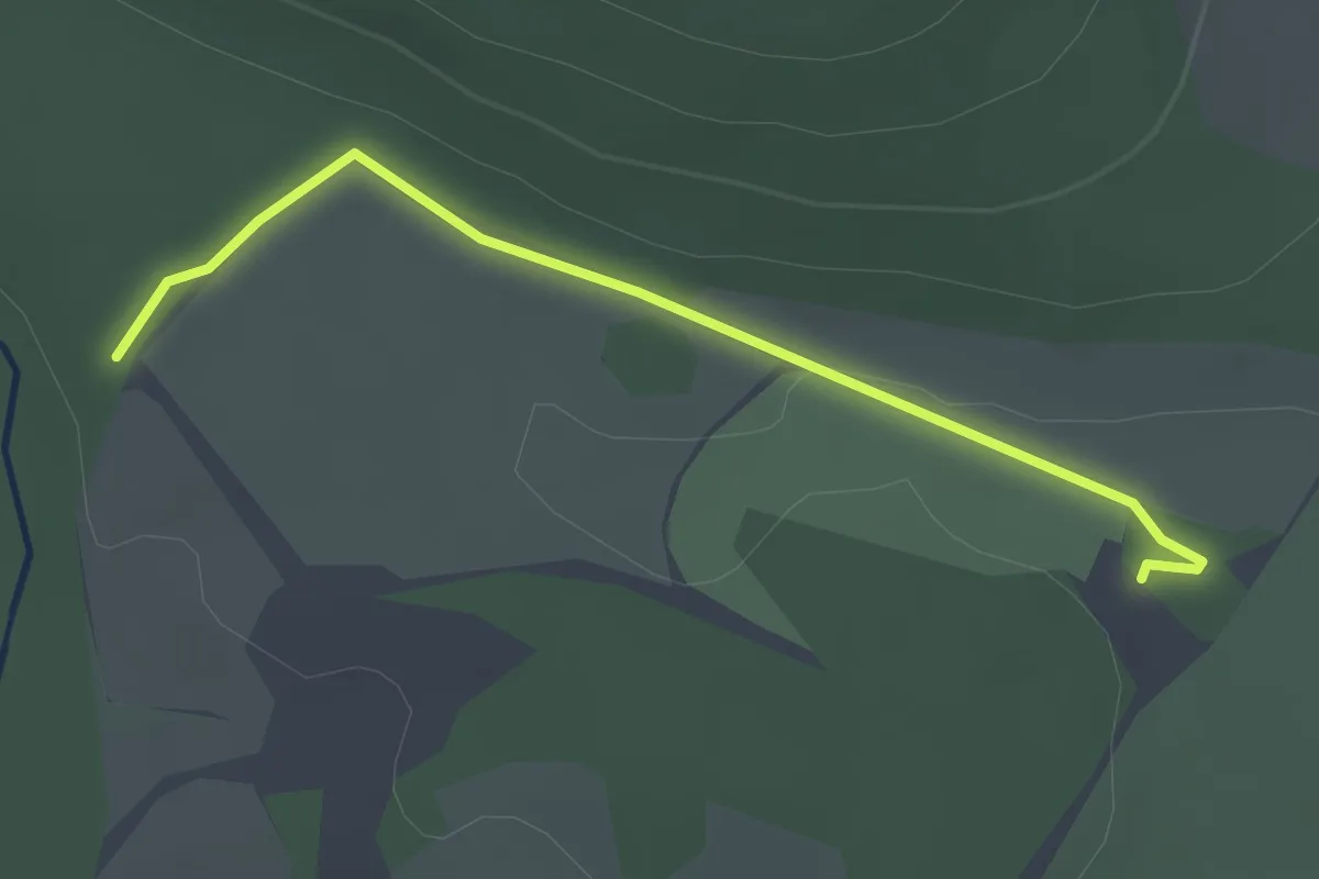
Easy · Trail
Woodland Loop
1.2 km · ↑ 16 m · 20 min
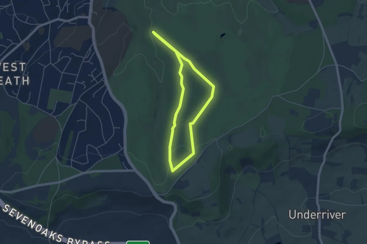
Easy · Trail
Woodland Ramble, Knole
3.6 km · ↑ 48 m · 1 h 1 min
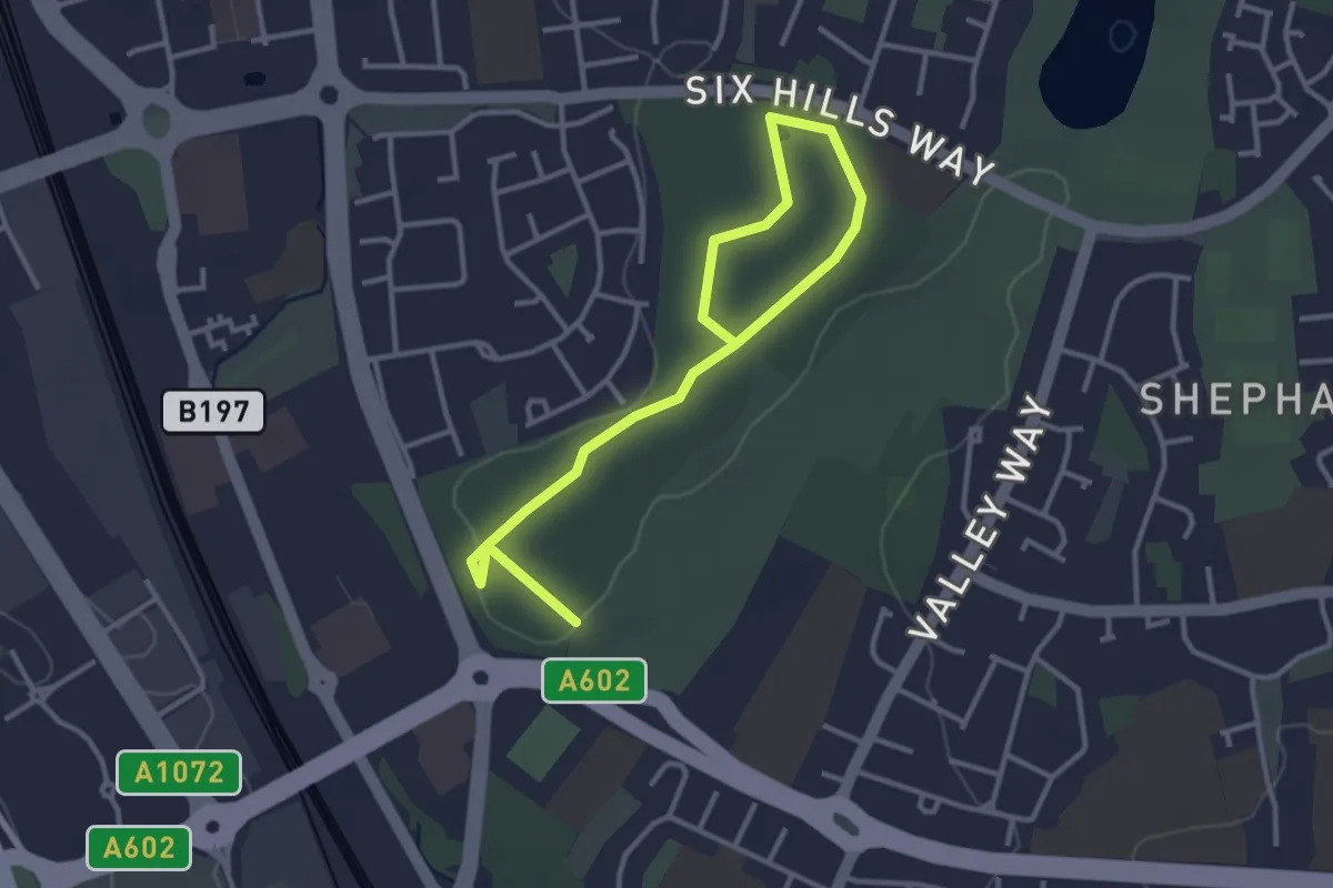
Easy · Trail
Woodland Trail
3.8 km · ↑ 21 m · 56 min
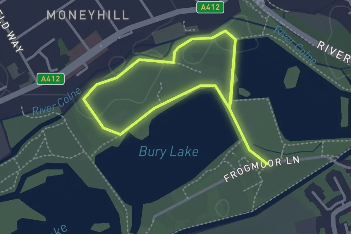
Easy · Trail
Woodland Trail
3.6 km · ↑ 0 m · 51 min
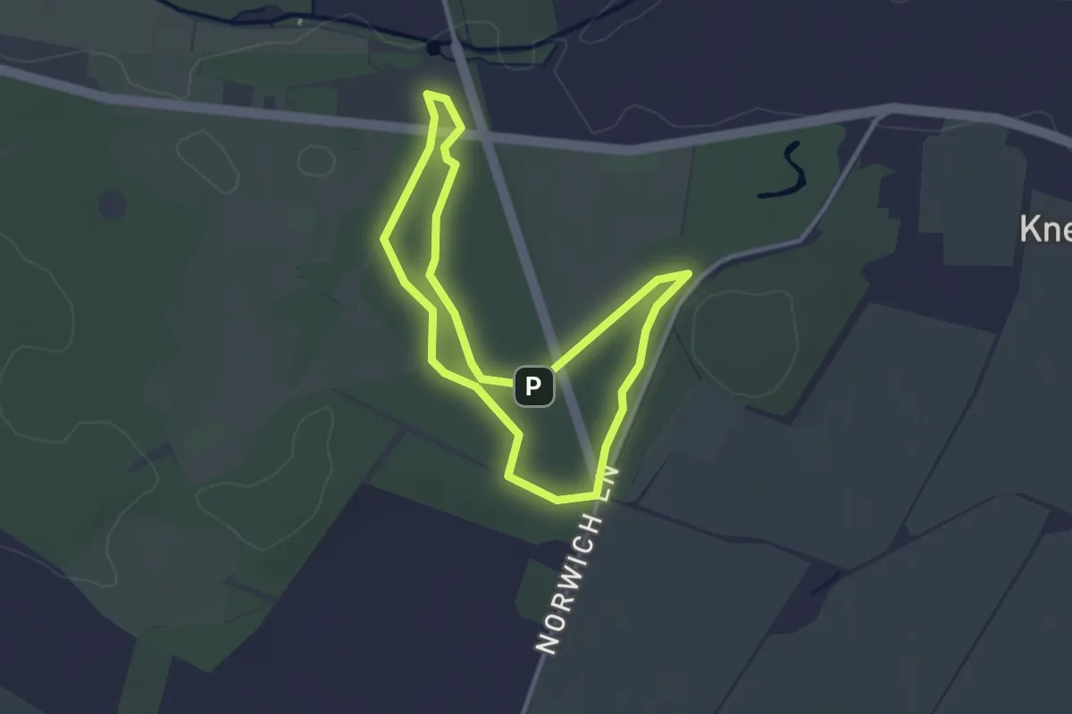
Easy · Trail
Woodland Trail
2.5 km · ↑ 8 m · 39 min
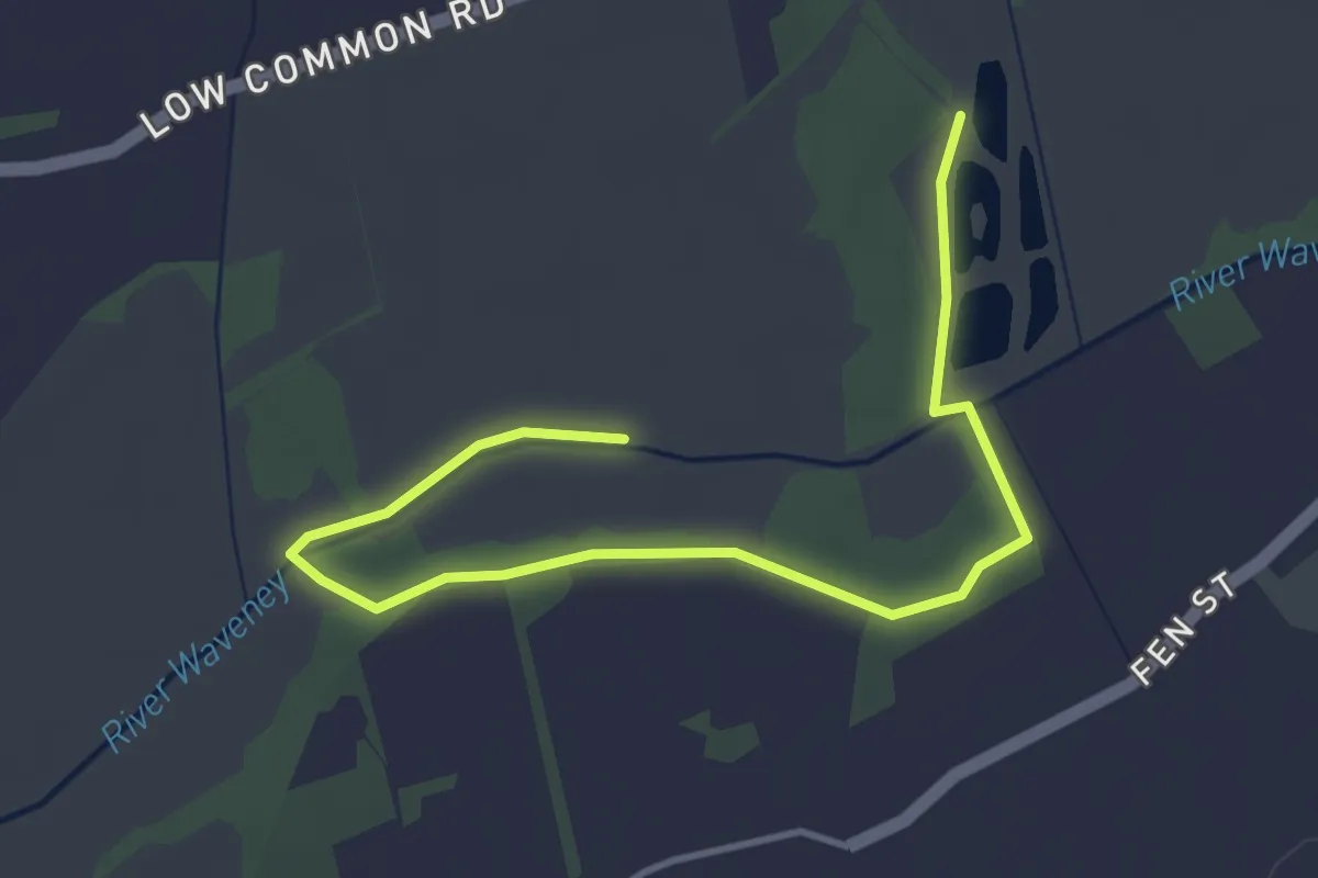
Easy · Trail
Woodland Trail
4.2 km · ↑ 0 m · 1 h
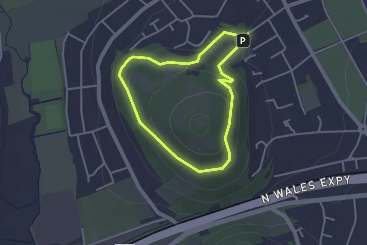
Easy · Summit
Woodland Trail
2.1 km · ↑ 100 m · 45 min
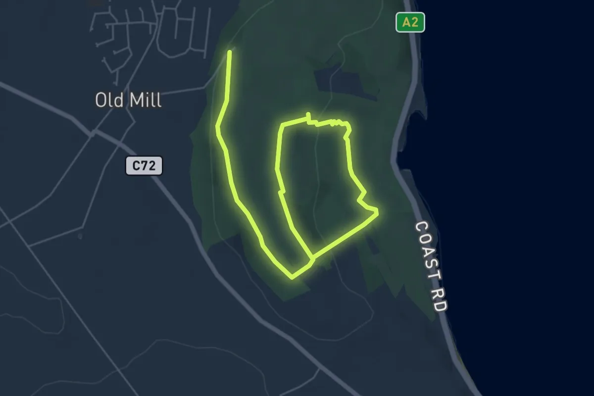
Easy · Trail
Woodland Trail
6.5 km · ↑ 178 m · 1 h 55 min
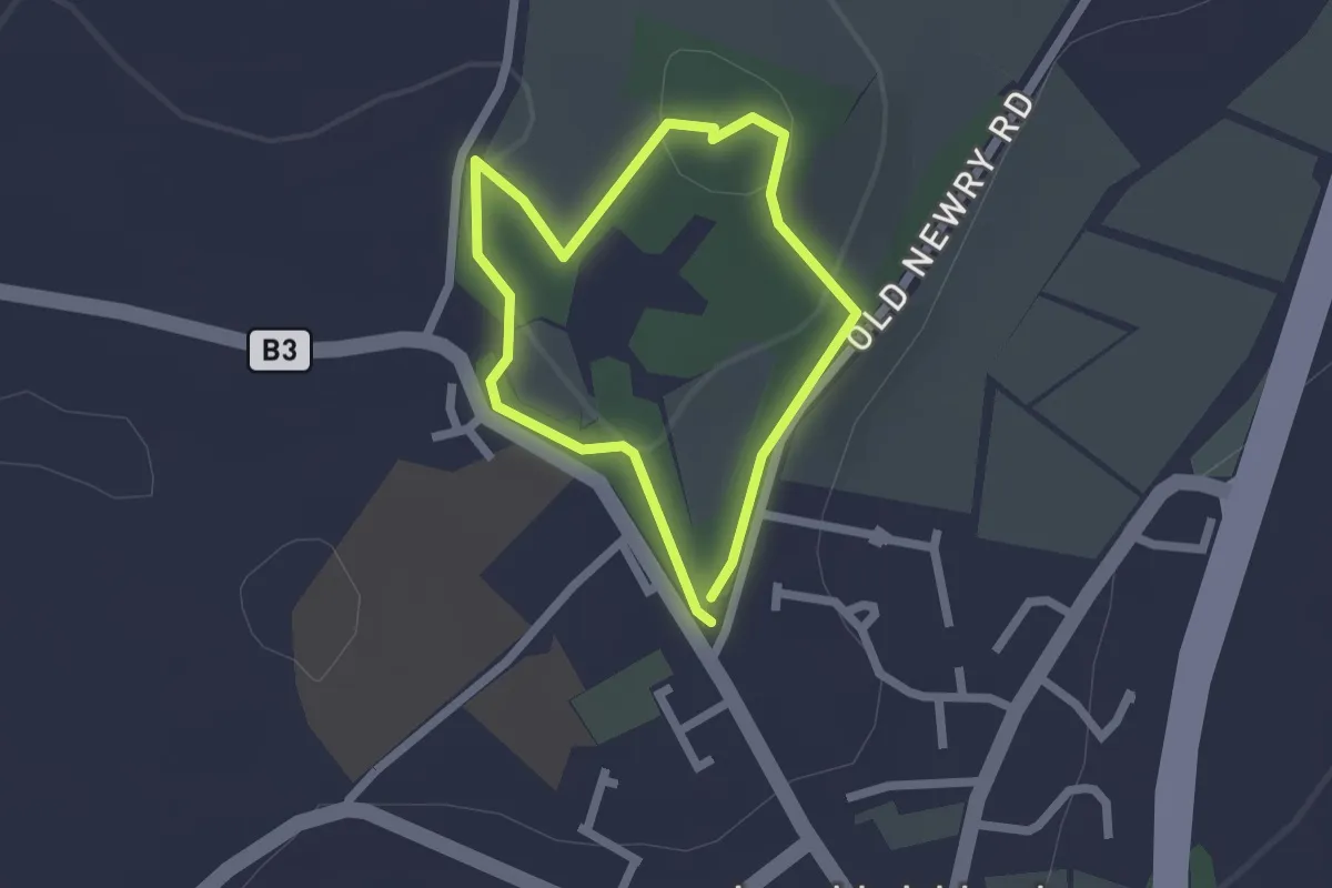
Easy · Trail
Woodland Trail
1.4 km · ↑ 27 m · 25 min
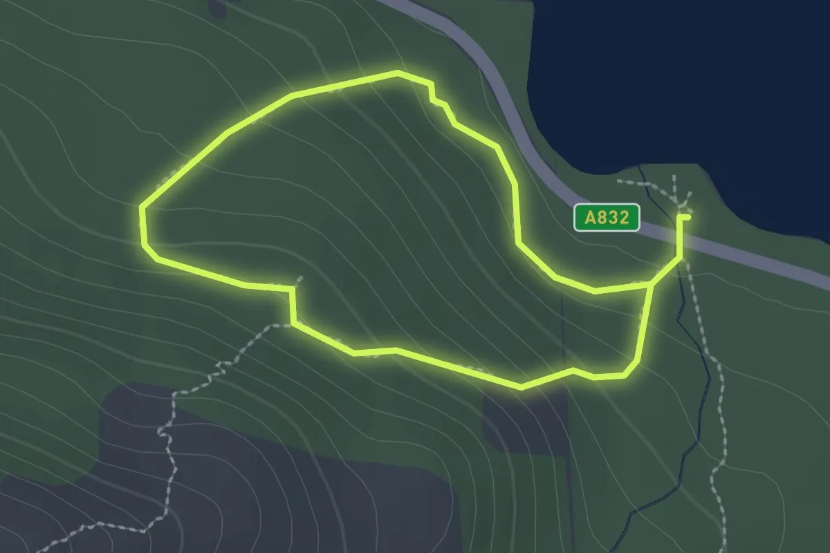
Easy · Trail
Woodland Trail - Beinn Eighe
1.6 km · ↑ 94 m · 36 min