Trails in United Kingdom
3,857 hiking trails, each with its route, climb, walking time and grade.
All trails, page 79 of 81
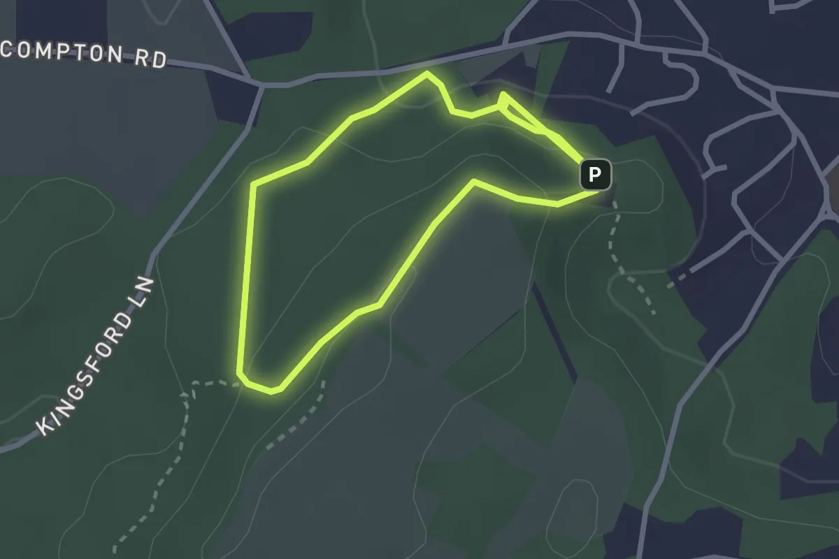
Easy · Summit
Woodland Trail, Kinver Edge
2.0 km · ↑ 68 m · 39 min
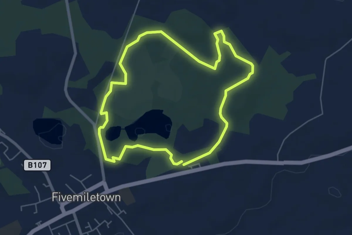
Easy · Trail
Woodlandwalk
3.9 km · ↑ 18 m · 1 h 1 min
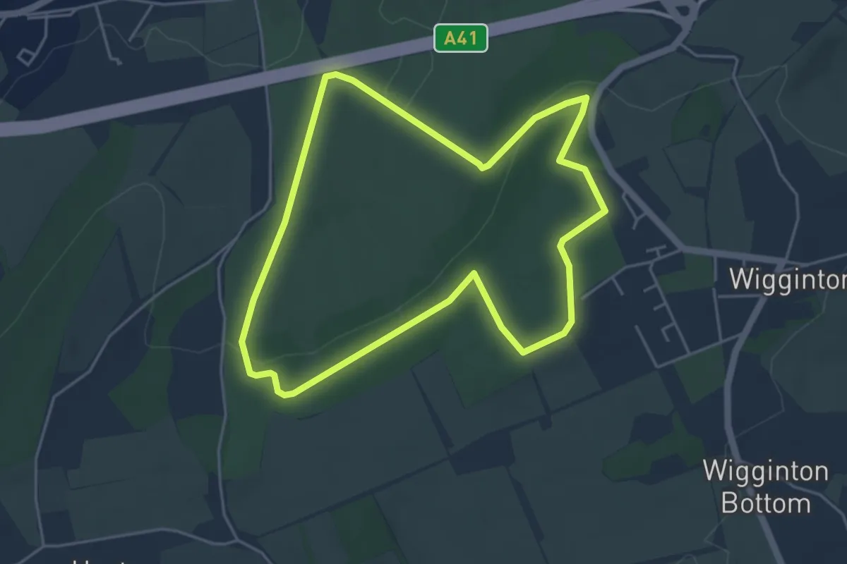
Easy · Trail
Woodland Walk
4.0 km · ↑ 91 m · 1 h 12 min
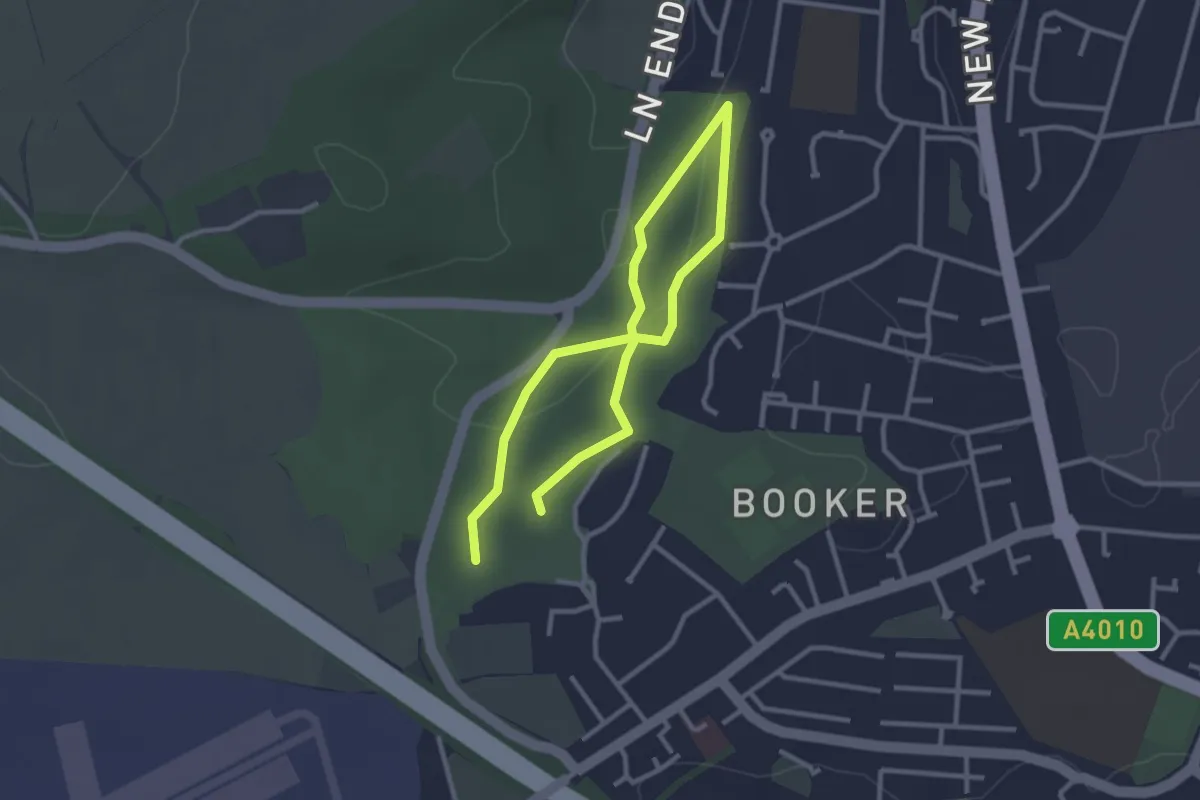
Easy · Trail
Woodland Walk
2.0 km · ↑ 29 m · 33 min
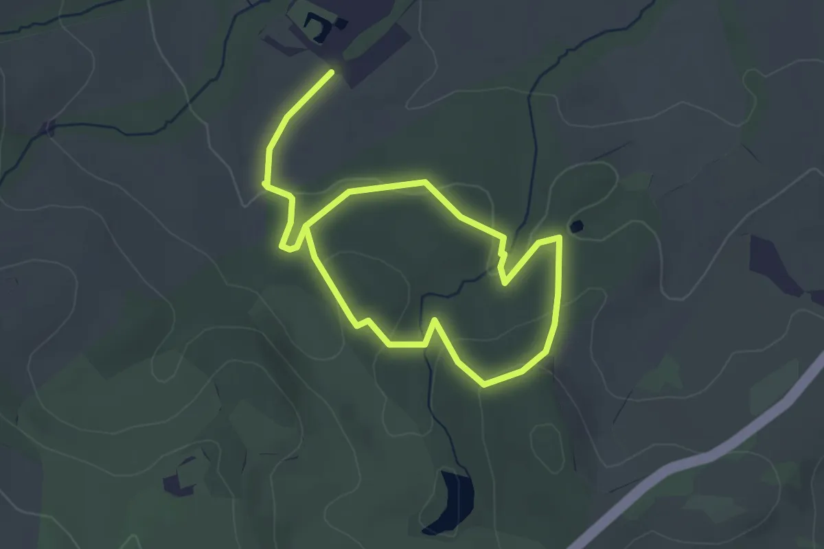
Easy · Trail
Woodland Walk
5.1 km · ↑ 129 m · 1 h 29 min
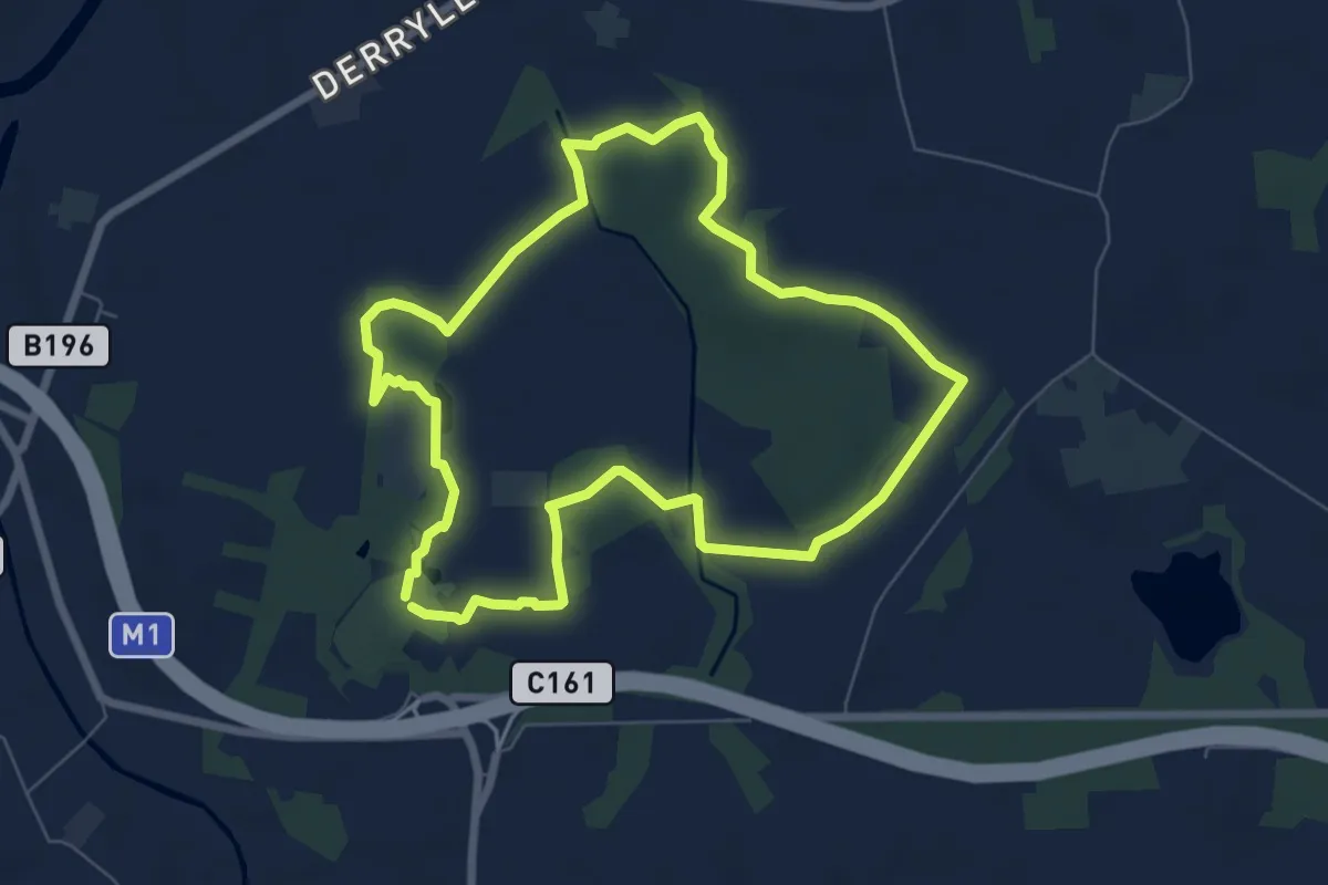
Easy · Trail
Woodland Walk
5.9 km · ↑ 19 m · 1 h 32 min
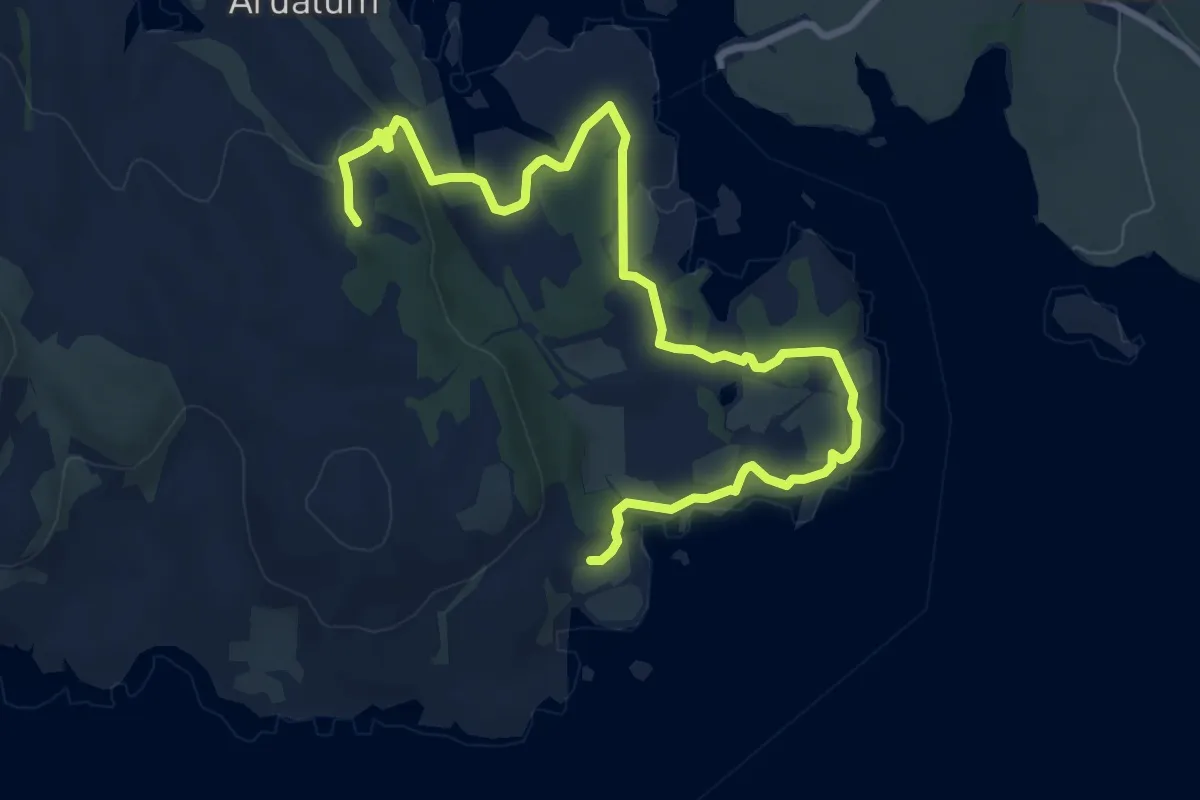
Medium · Trail
Woodland Walk
8.5 km · ↑ 111 m · 2 h 15 min
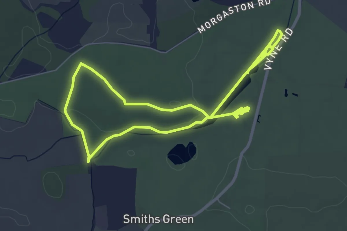
Easy · Trail
Woodland Walk at The Vyne
4.7 km · ↑ 17 m · 1 h 12 min
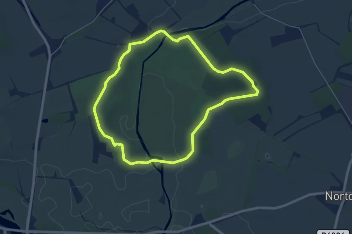
Easy · Trail
Woodland Walk, Attingham Park
3.9 km · ↑ 18 m · 1 h 1 min
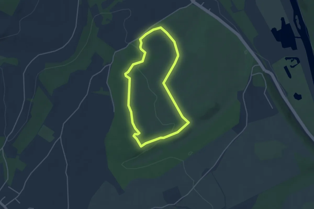
Easy · Trail
Woodland Walk, Basildon Park
3.1 km · ↑ 41 m · 51 min
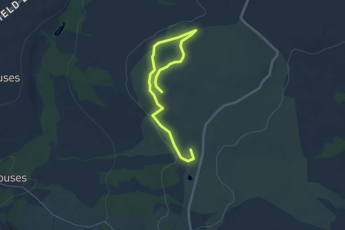
Easy · Trail
Woodland Walk, Brimham Rocks
4.8 km · ↑ 86 m · 1 h 19 min
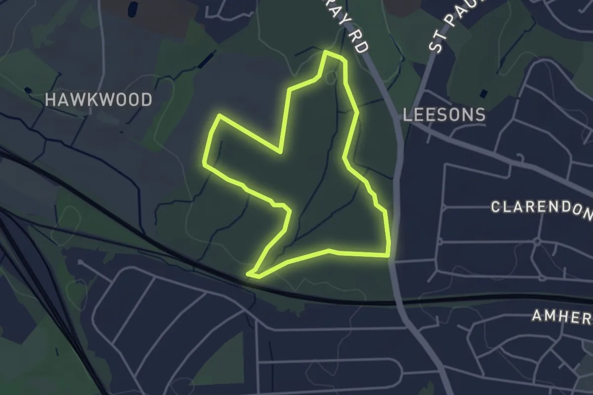
Easy · Trail
Woodland Walk, Hawkwood/PettsWood
3.1 km · ↑ 17 m · 48 min
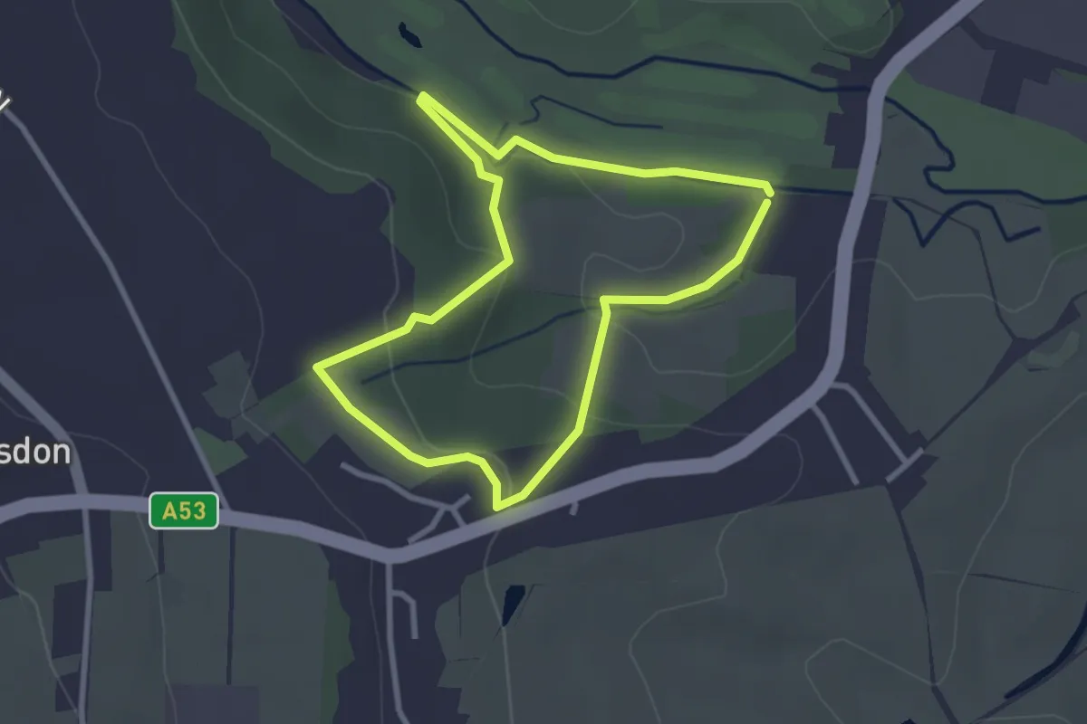
Easy · Trail
Woodland Walk Ladderedge Country Park (Brown Arrows)
2.3 km · ↑ 61 m · 42 min
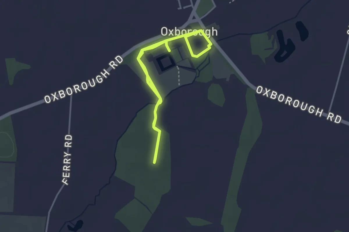
Easy · Trail
Woodland Walk, Oxburgh Estate
3.0 km · ↑ 4 m · 45 min
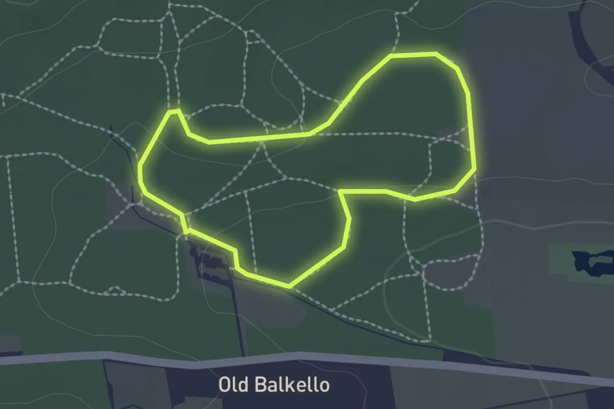
Easy · Trail
Woodland Wander
1.6 km · ↑ 18 m · 27 min
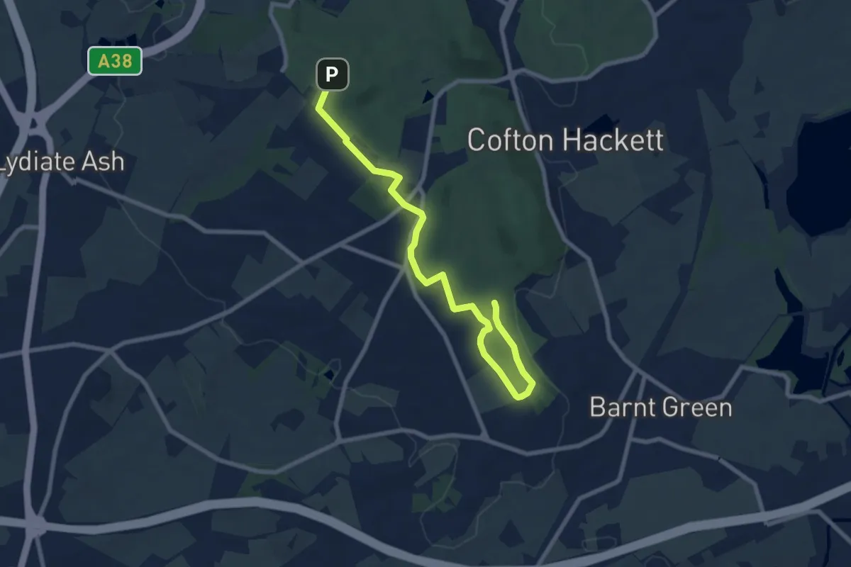
Easy · Trail
Woodpecker Trail
7.3 km · ↑ 104 m · 1 h 58 min
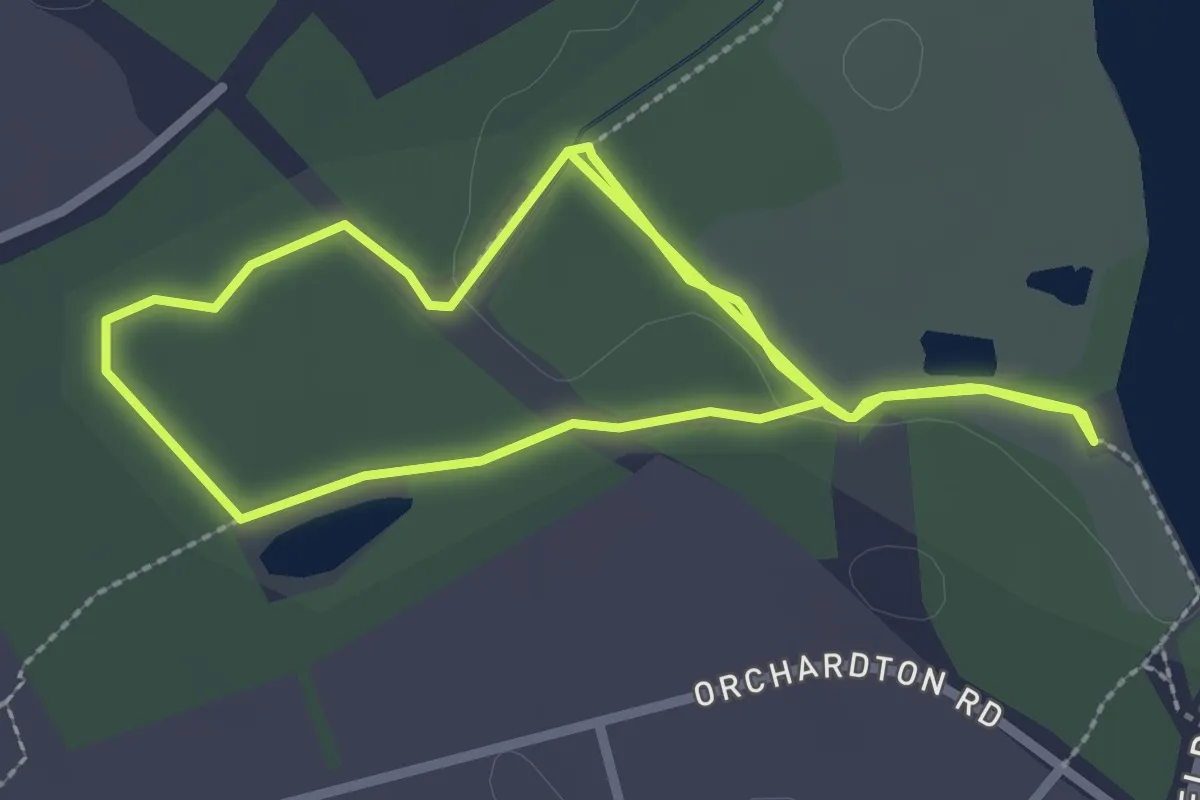
Easy · Trail
Woodpecker Trail
2.1 km · ↑ 8 m · 32 min
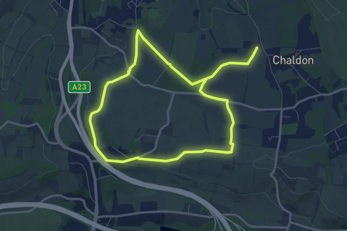
Medium · Trail
Wood Pigeon Way
12.5 km · ↑ 137 m · 3 h 14 min
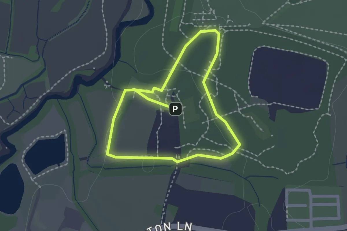
Easy · Trail
Woods and Meadows Walk
1.5 km · ↑ 8 m · 23 min
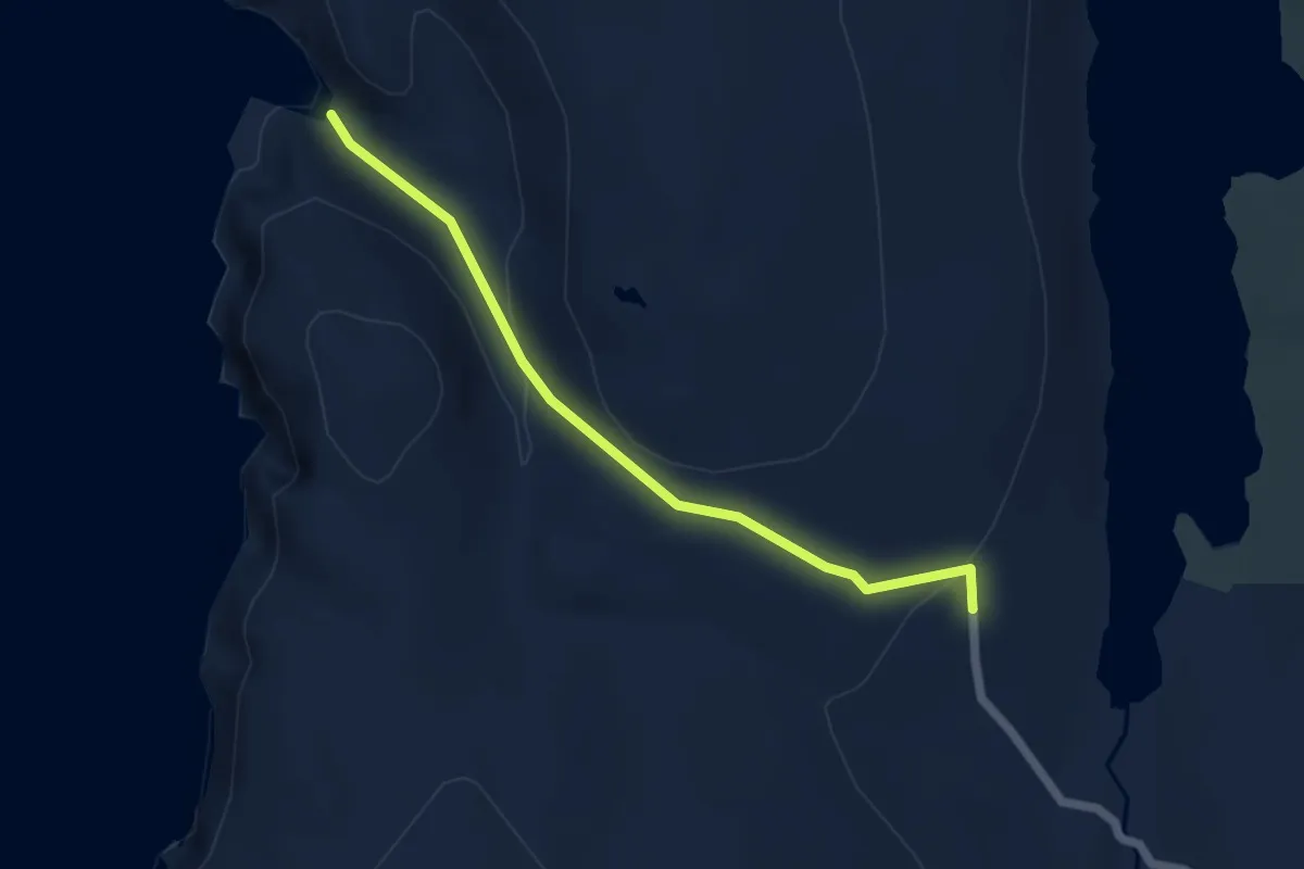
Easy · Trail
Woodwick
3.7 km · ↑ 155 m · 1 h 13 min
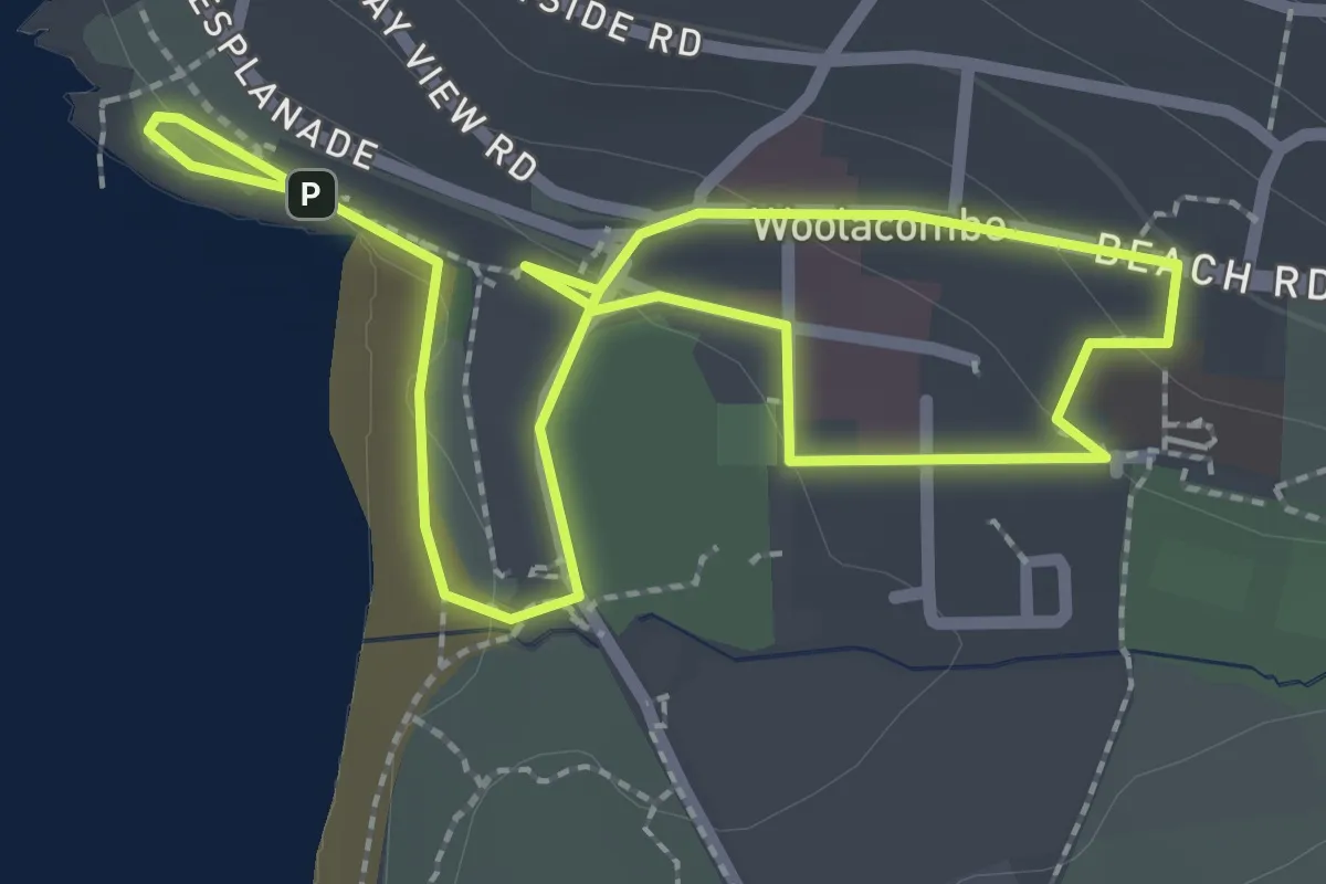
Easy · Trail
Woolacombe Community Trail
3.9 km · ↑ 73 m · 1 h 4 min
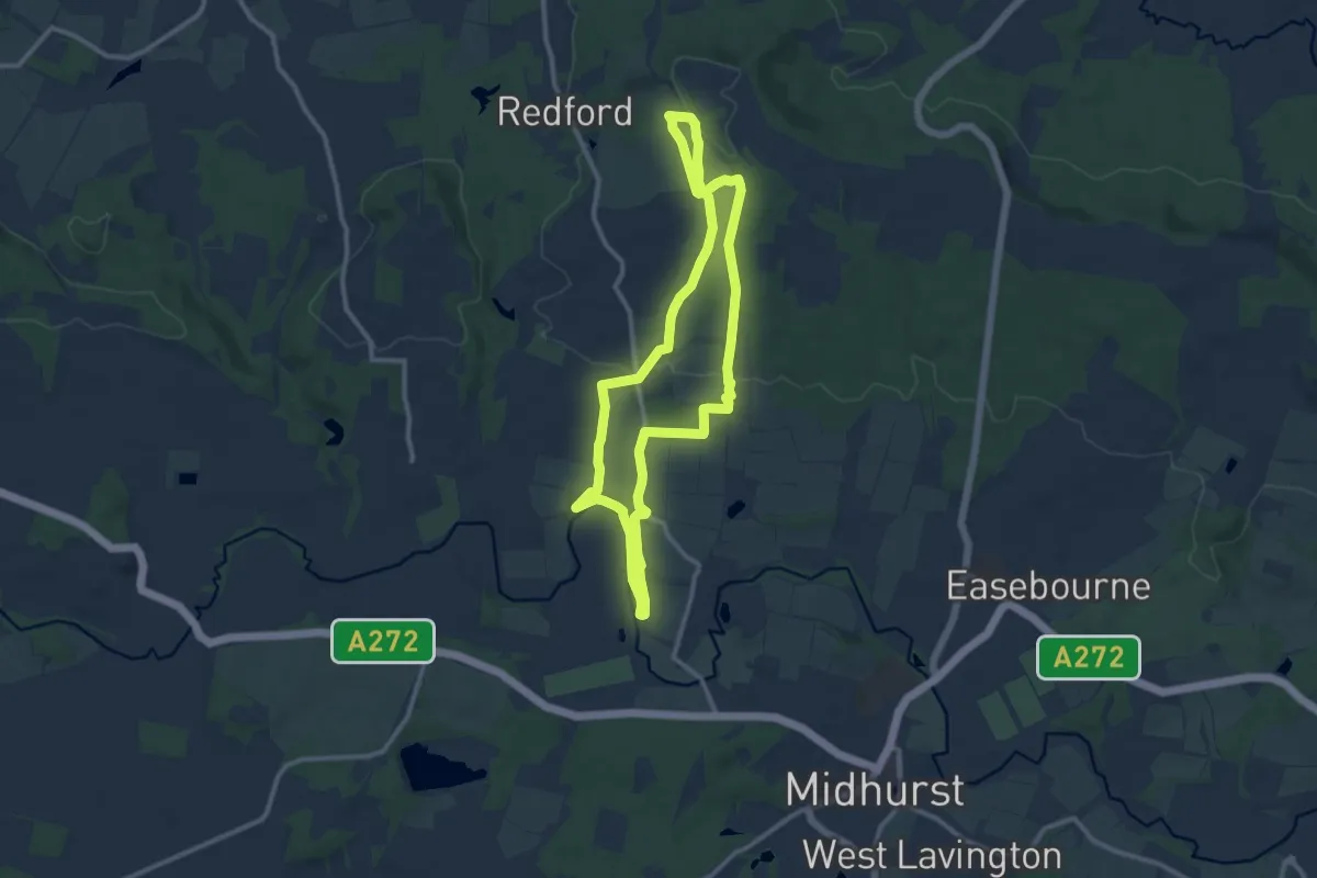
Medium · Trail
Woolbeding Landscapes Walk, Sussex West
9.4 km · ↑ 180 m · 2 h 44 min
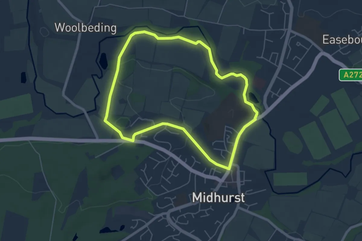
Easy · Trail
Woolbeding, River Rother and Midhurst Walk, South Downs West
4.5 km · ↑ 42 m · 1 h 14 min
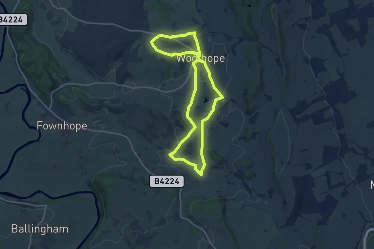
Medium · Trail
Woolhope Circular Walk
9.6 km · ↑ 137 m · 2 h 42 min
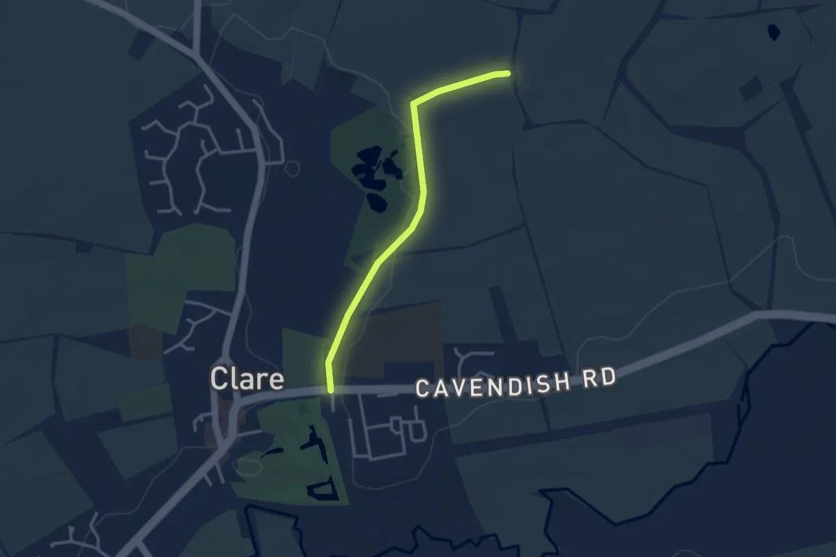
Easy · Trail
Wool Towns Walk
2.5 km · ↑ 32 m · 40 min
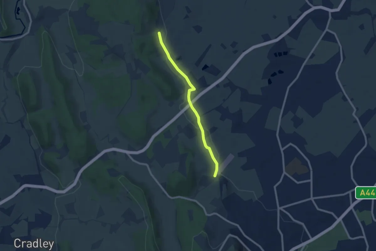
Easy · Trail
Worcestershire Way
5.1 km · ↑ 34 m · 1 h 17 min
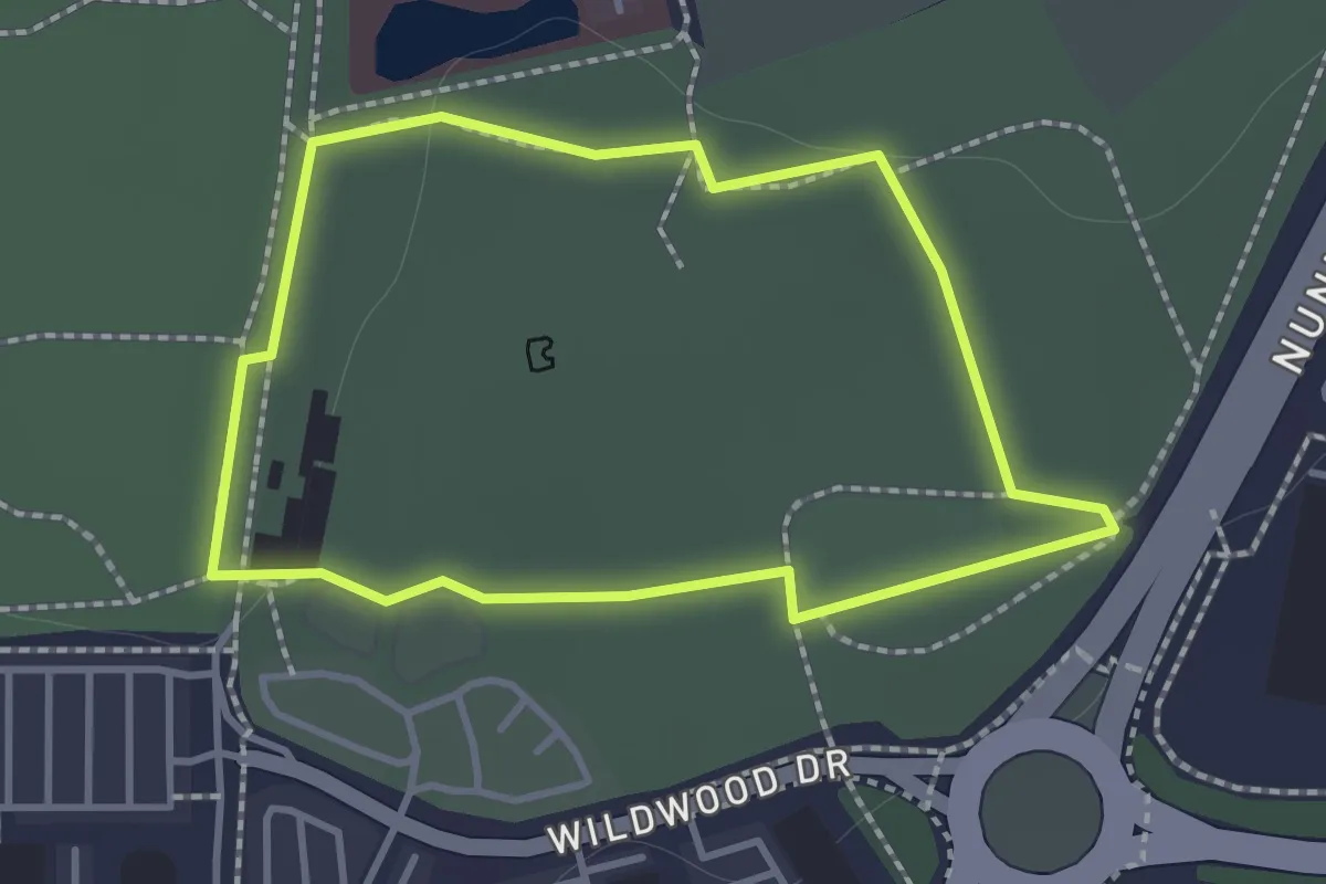
Easy · Trail
Worcester Woods Meadows Trail
1.1 km · ↑ 4 m · 17 min
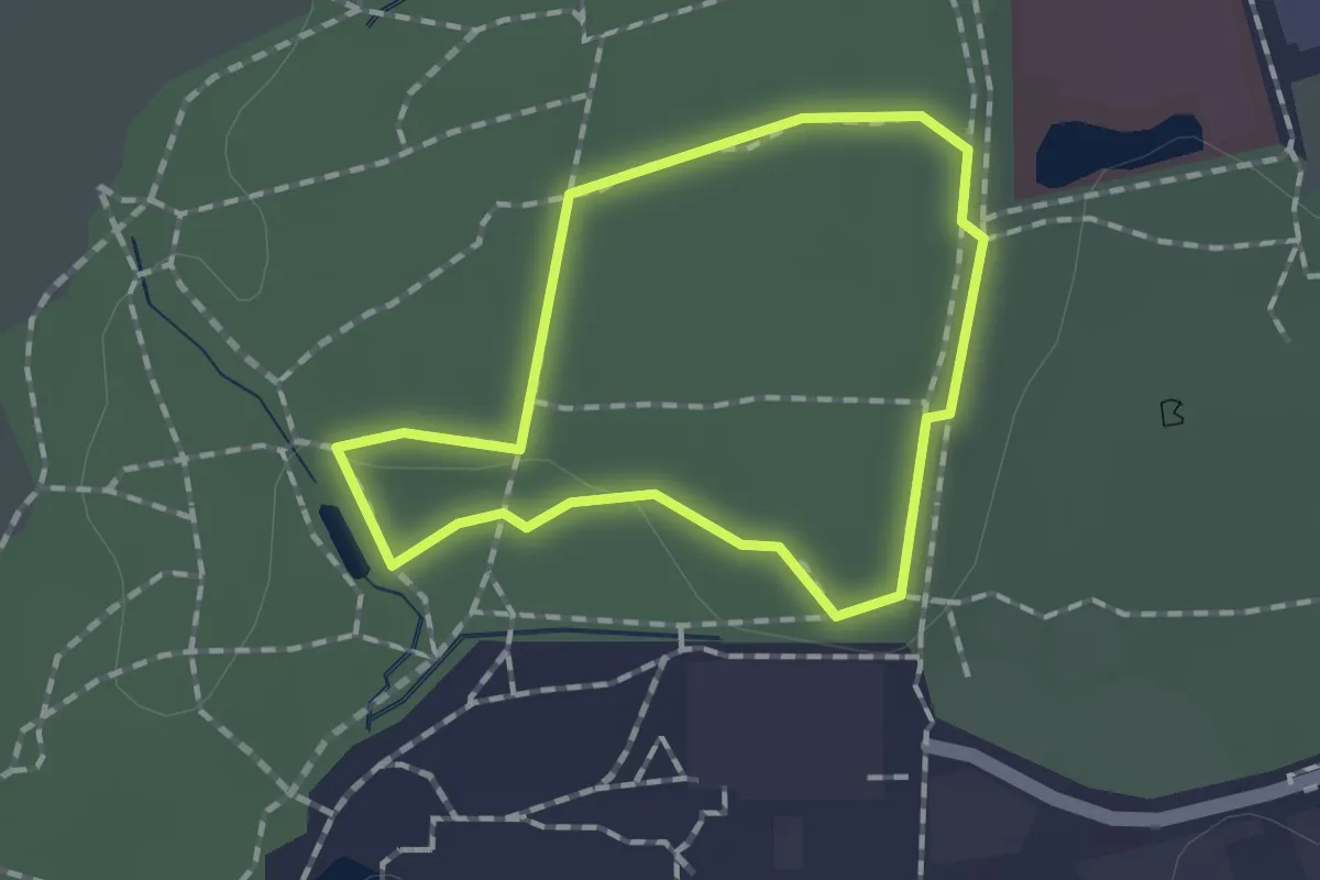
Easy · Trail
Worcester Woods Woodland Trail
1.1 km · ↑ 8 m · 17 min
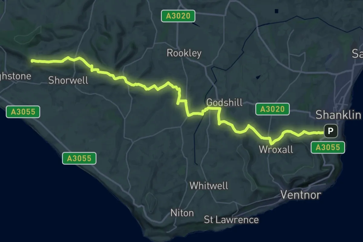
Demanding · Summit
Worsley Trail
38.7 km · ↑ 833 m · 10 h 57 min
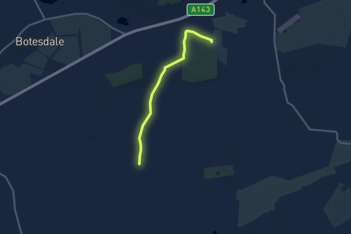
Easy · Trail
Wortham & Burgate Walks
5.2 km · ↑ 9 m · 1 h 15 min
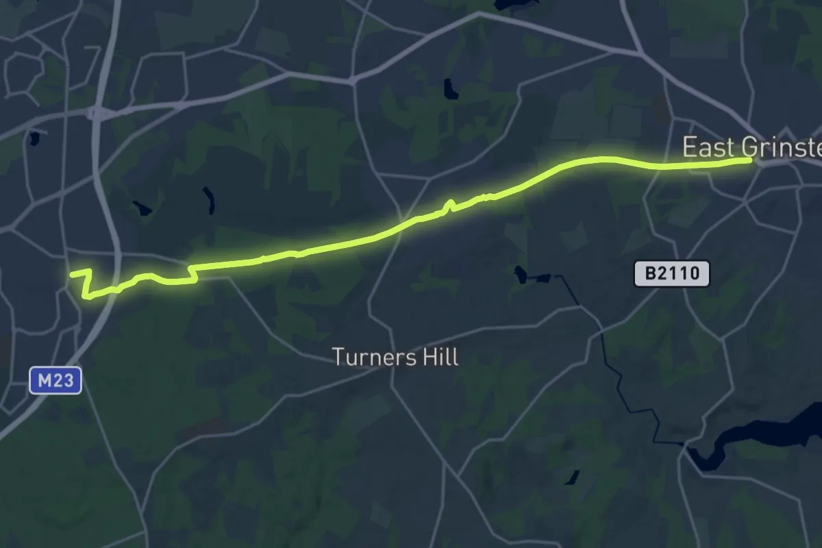
Demanding · Trail
Worth Way
20.1 km · ↑ 126 m · 5 h 1 min
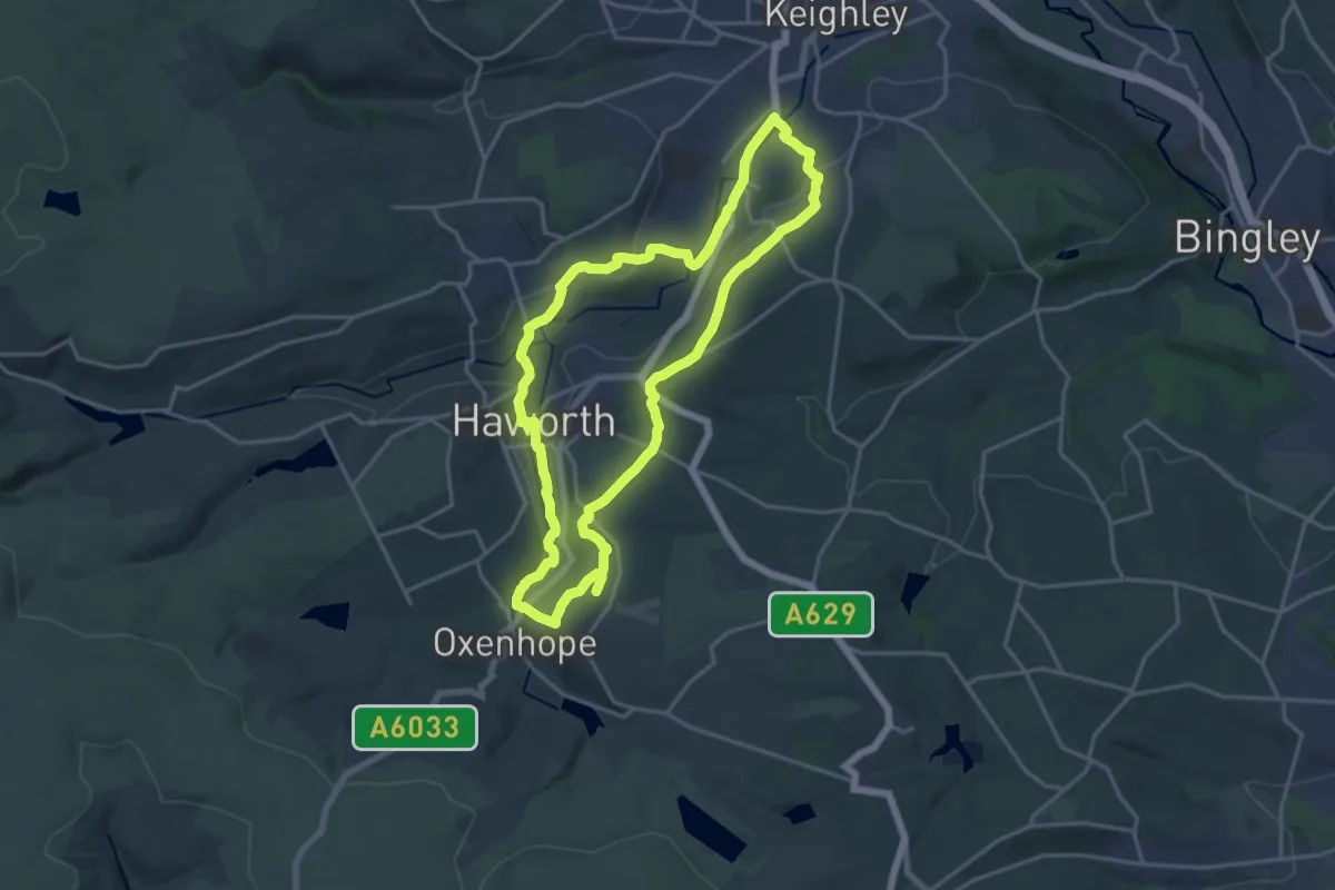
Medium · Trail
Worth Way
15.1 km · ↑ 320 m · 4 h 29 min
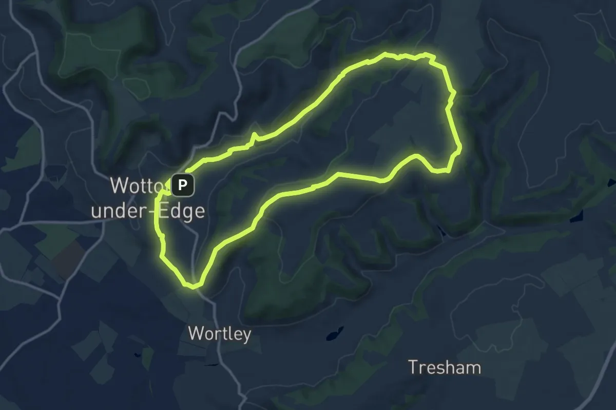
Medium · Trail
Wotton-under-Edge Cotswold Gateway Route 1
11.5 km · ↑ 221 m · 3 h 21 min
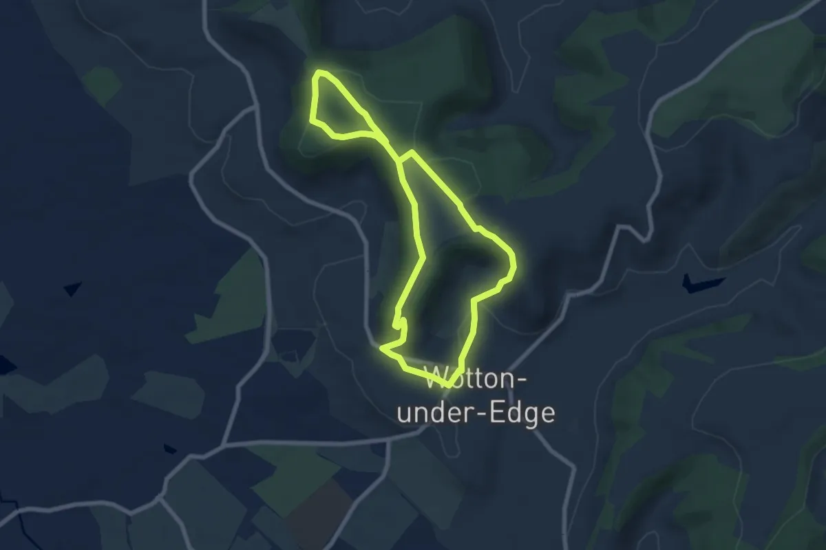
Easy · Trail
Wotton-under-Edge Cotswold Gateway Route 2
5.5 km · ↑ 142 m · 1 h 41 min
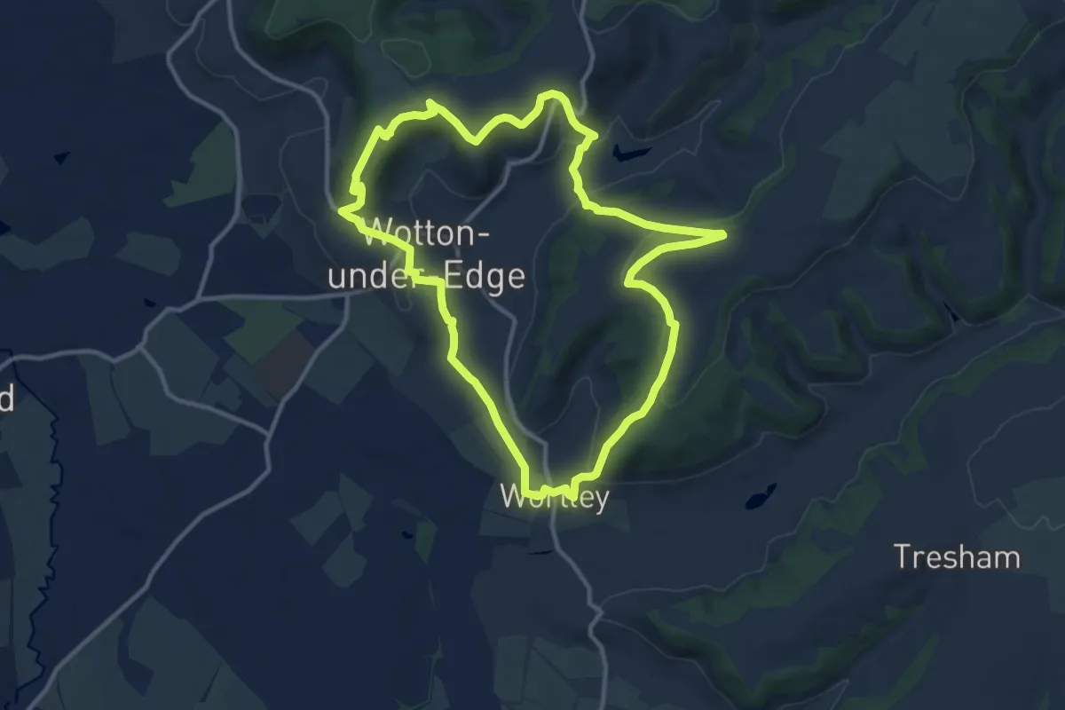
Medium · Trail
Wotton-under-Edge Cotswold Gateway Route 3
10.3 km · ↑ 303 m · 3 h 14 min
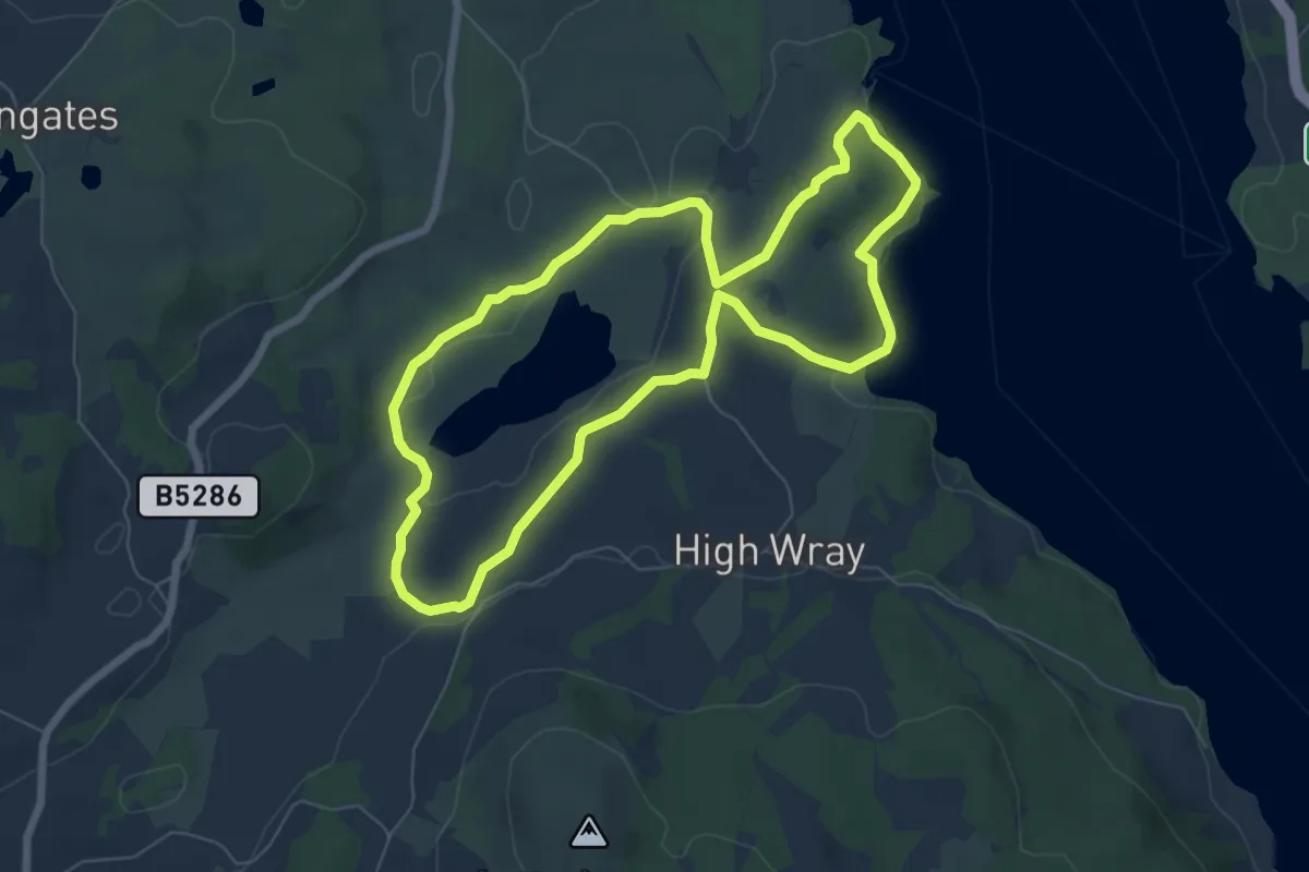
Easy · Trail
Wray to Blelham Tarn Circular Walk, Wray Castle
5.7 km · ↑ 103 m · 1 h 39 min
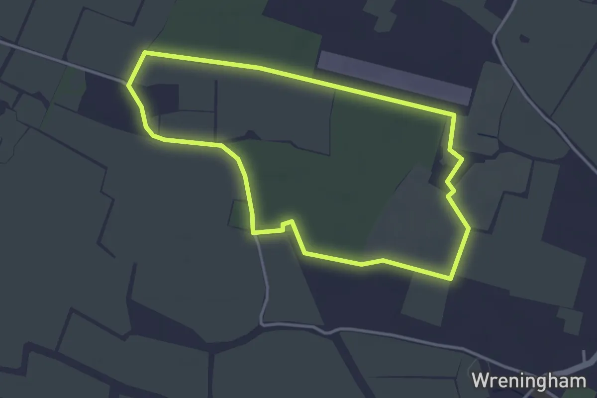
Easy · Trail
Wreningham’s Ghost Commons Trail
3.0 km · ↑ 4 m · 46 min
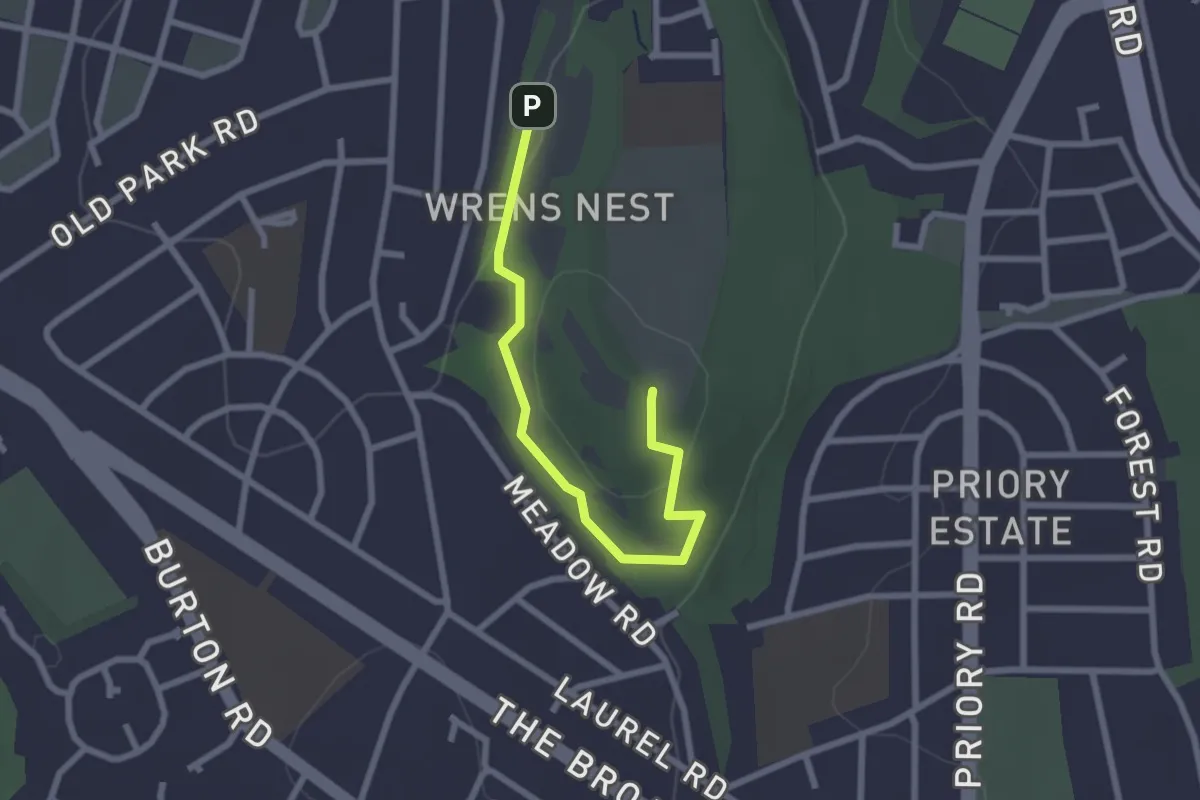
Easy · Summit
Wren's Nest UNESCO Black Country Geopark Geotrail
2.2 km · ↑ 38 m · 36 min
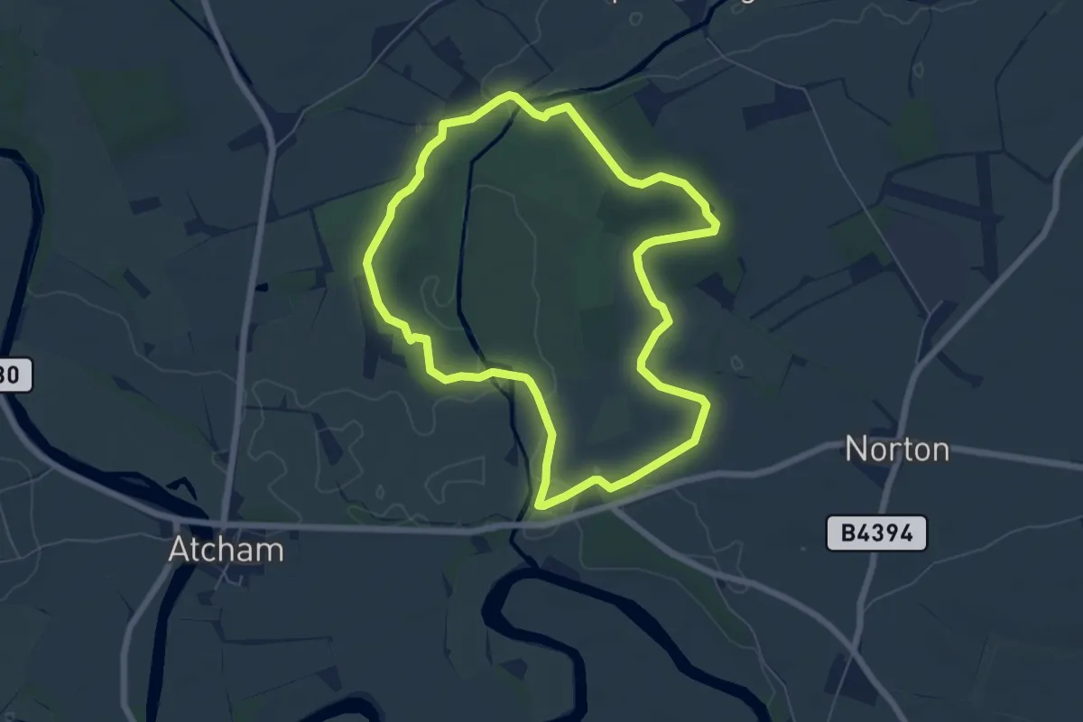
Easy · Trail
WWII Walk, Attingham Park
5.4 km · ↑ 18 m · 1 h 23 min
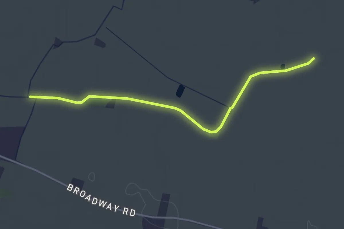
Easy · Trail
Wychavon Way
3.3 km · ↑ 4 m · 47 min
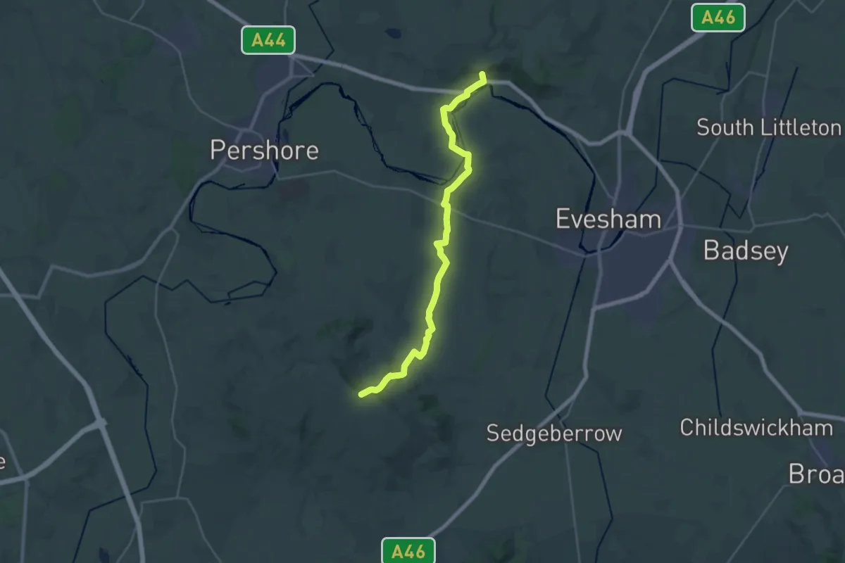
Demanding · Trail
Wychavon Way (old)
22.0 km · ↑ 356 m · 5 h 58 min
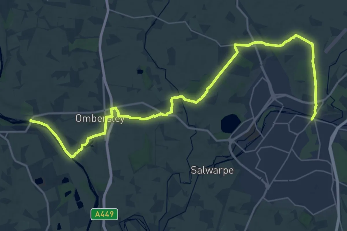
Demanding · Trail
Wychavon Way (old)
26.7 km · ↑ 277 m · 6 h 54 min
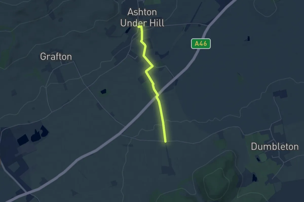
Easy · Trail
Wychavon Way (old)
3.7 km · ↑ 21 m · 55 min
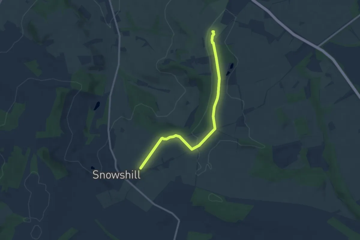
Easy · Summit
Wyche Way
7.1 km · ↑ 56 m · 1 h 47 min
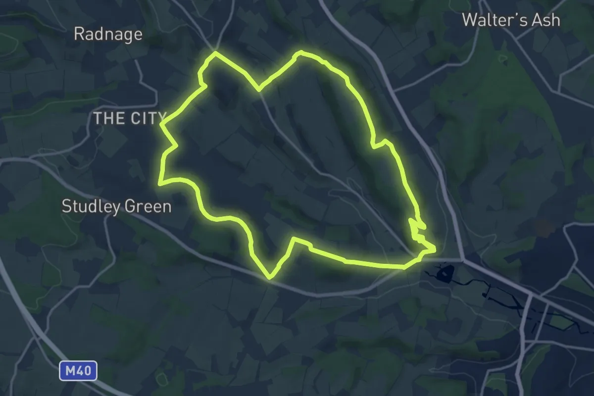
Medium · Trail
Wycombe West Ridges and Bottoms walk, West Wycombe Village
14.2 km · ↑ 406 m · 4 h 25 min
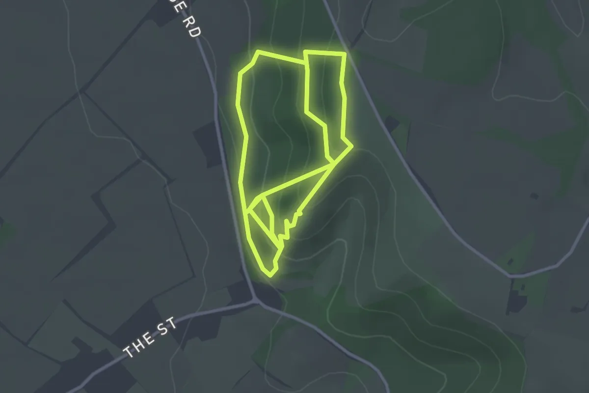
Easy · Trail
Wye National Nature Reserve Nature Trail
5.5 km · ↑ 306 m · 1 h 58 min
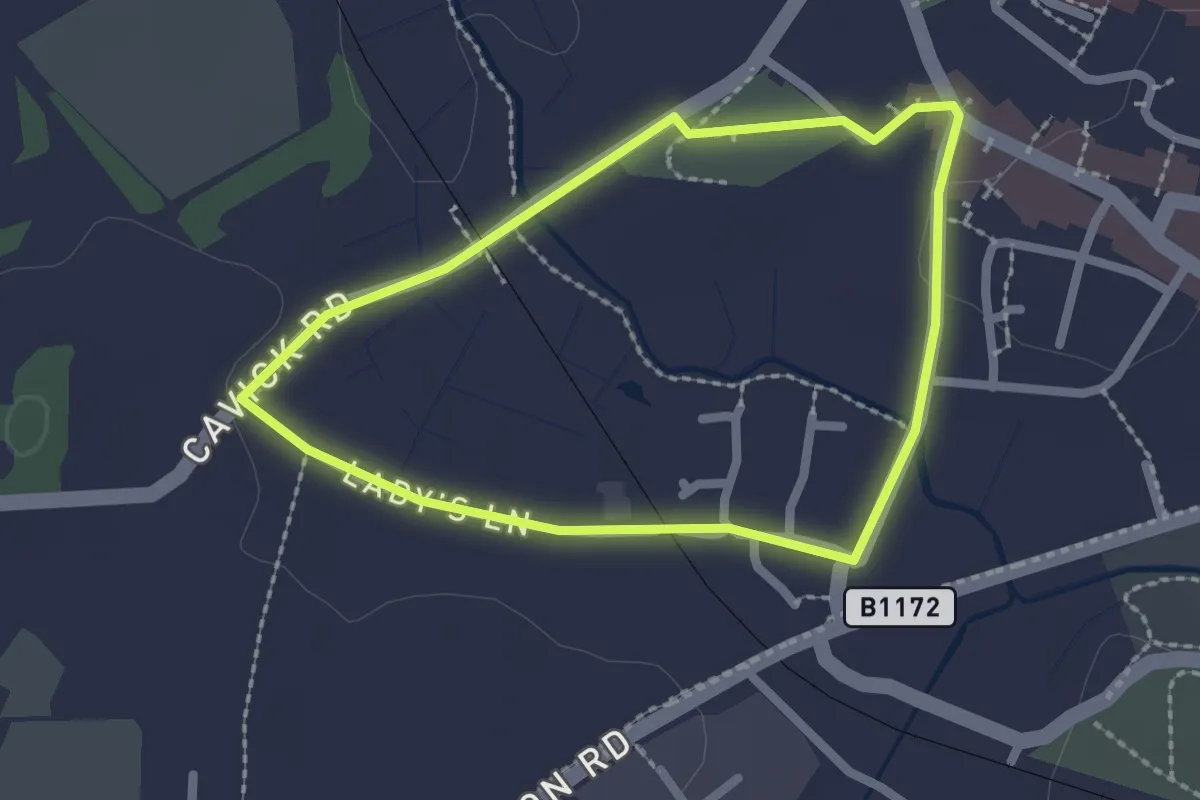
Easy · Trail
Wymondham’s Abbey Trail
1.7 km · ↑ 9 m · 27 min
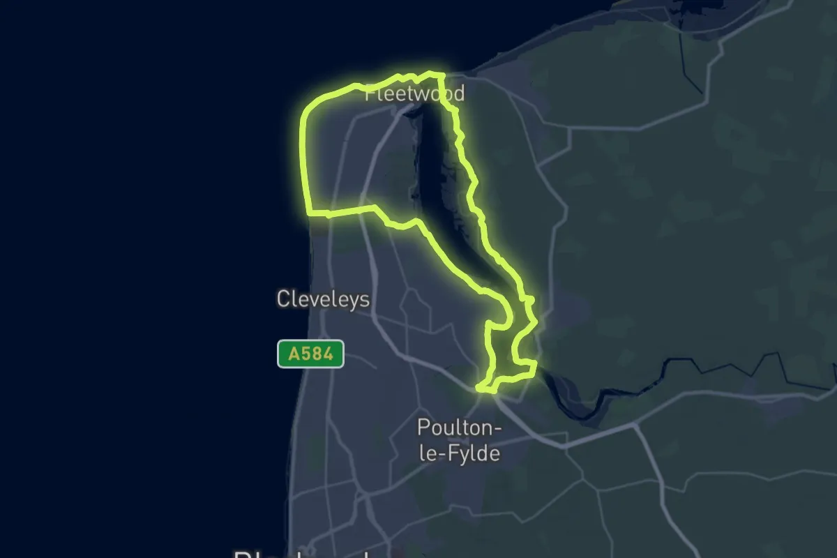
Demanding · Trail
Wyre Way (Fleetwood Peninsula Loop)
26.8 km · ↑ 41 m · 6 h 47 min