Trails in United Kingdom
3,857 hiking trails, each with its route, climb, walking time and grade.
All trails, page 80 of 81
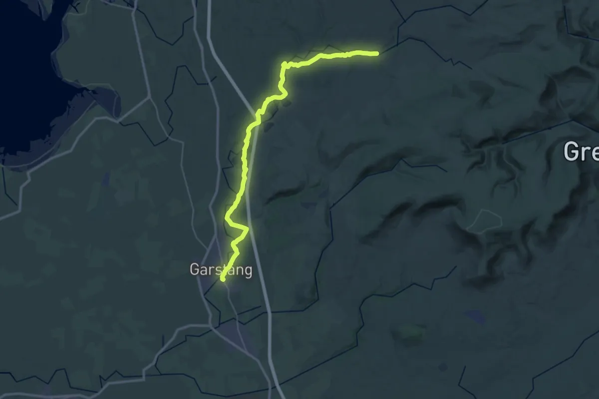
Demanding · Trail
Wyre Way (Garstang to Abbeystead)
30.6 km · ↑ 178 m · 7 h 36 min
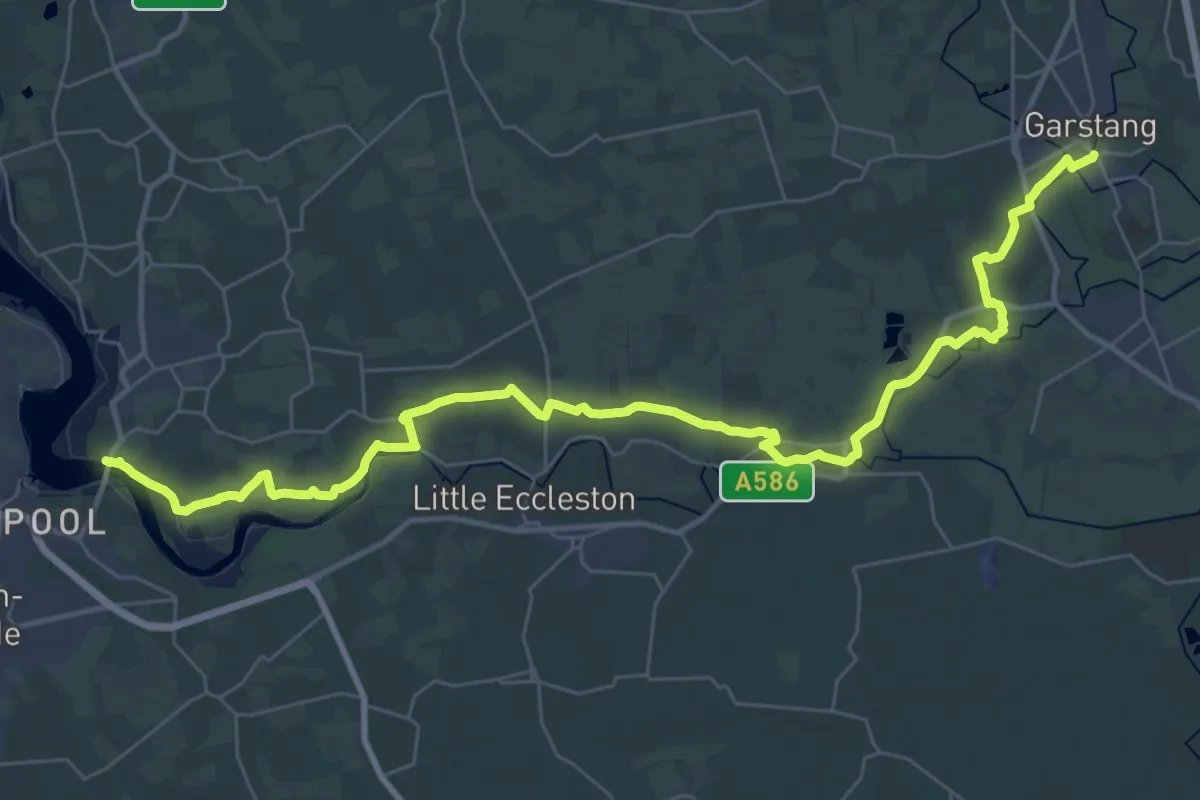
Demanding · Trail
Wyre Way (Shard Bridge to Garstang)
18.6 km · ↑ 34 m · 4 h 43 min
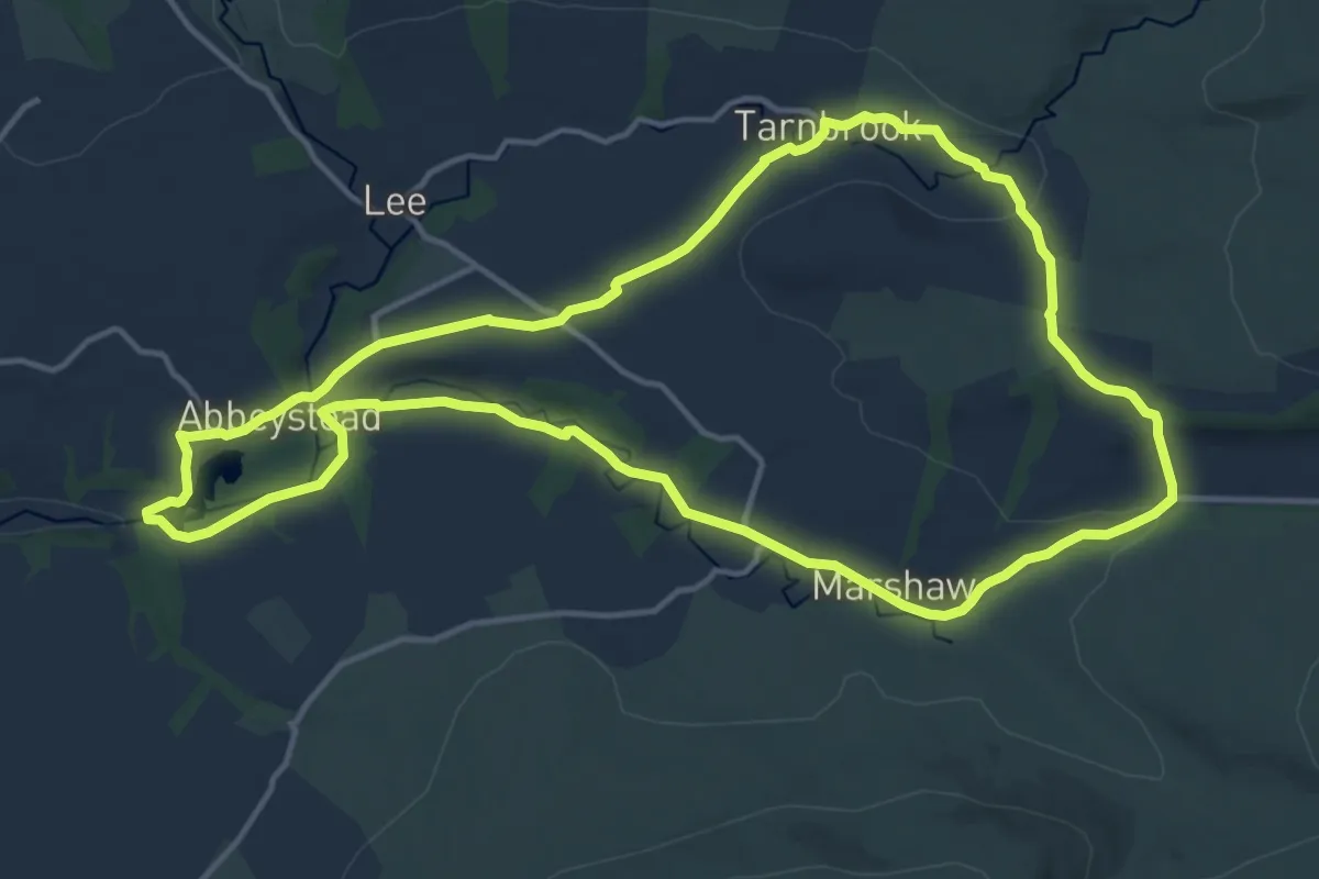
Medium · Trail
Wyre Way (Tarnbrook Loop)
12.8 km · ↑ 201 m · 3 h 39 min
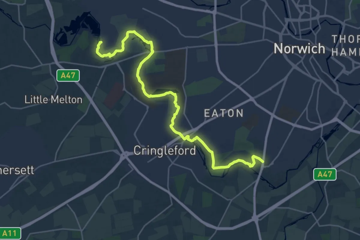
Demanding · Trail
Yare Valley Walk
19.3 km · ↑ 48 m · 4 h 39 min
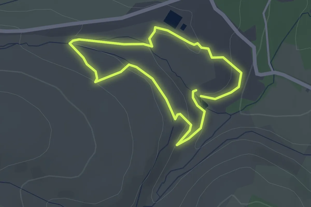
Easy · Trail
Yarner Wood Nature Trail
2.5 km · ↑ 78 m · 48 min
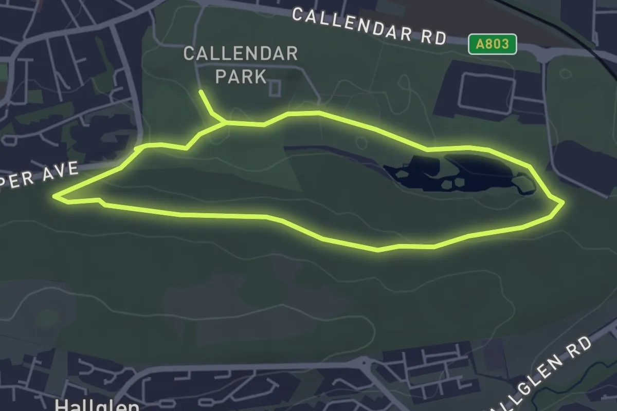
Easy · Trail
yellow
3.5 km · ↑ 40 m · 58 min
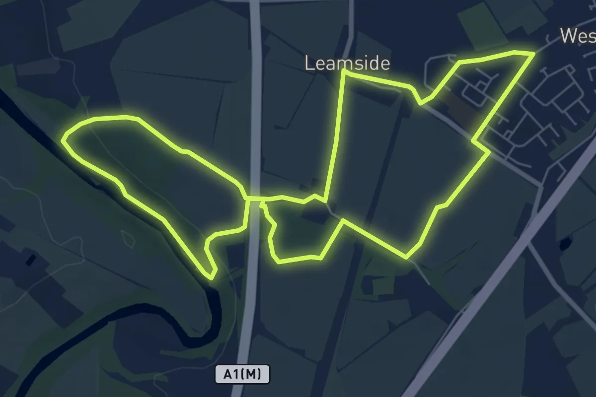
Easy · Trail
Yellow Clover Leaf Walk
5.9 km · ↑ 61 m · 1 h 37 min
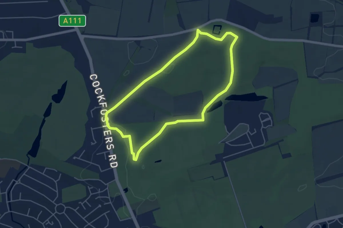
Easy · Trail
Yellow Route
3.9 km · ↑ 36 m · 1 h 3 min
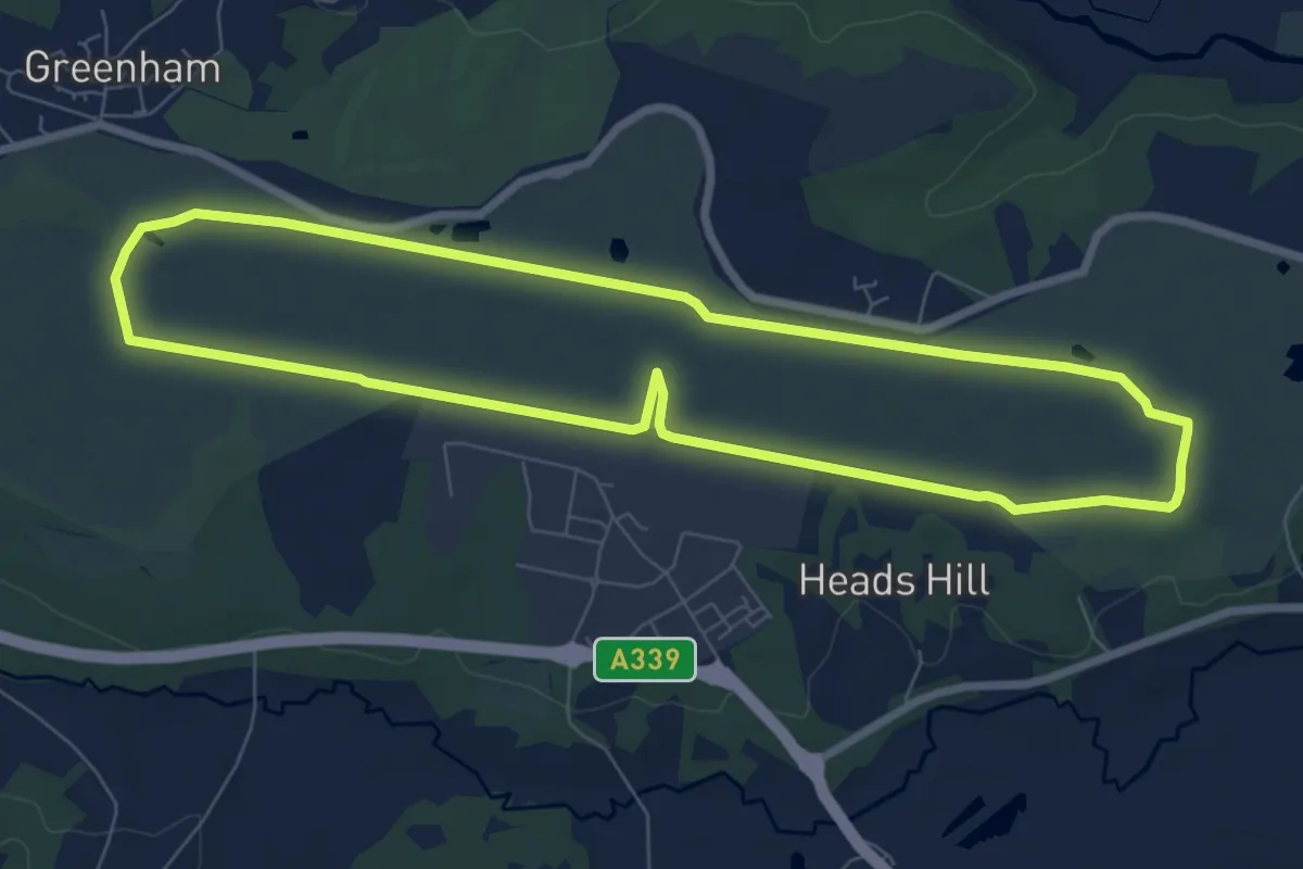
Easy · Trail
Yellow Route
6.9 km · ↑ 8 m · 1 h 44 min
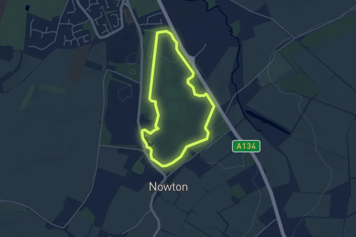
Easy · Trail
Yellow Route
3.4 km · ↑ 21 m · 53 min
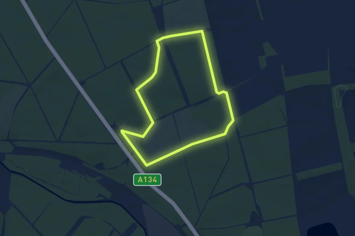
Easy · Trail
Yellow Route
3.1 km · ↑ 27 m · 51 min
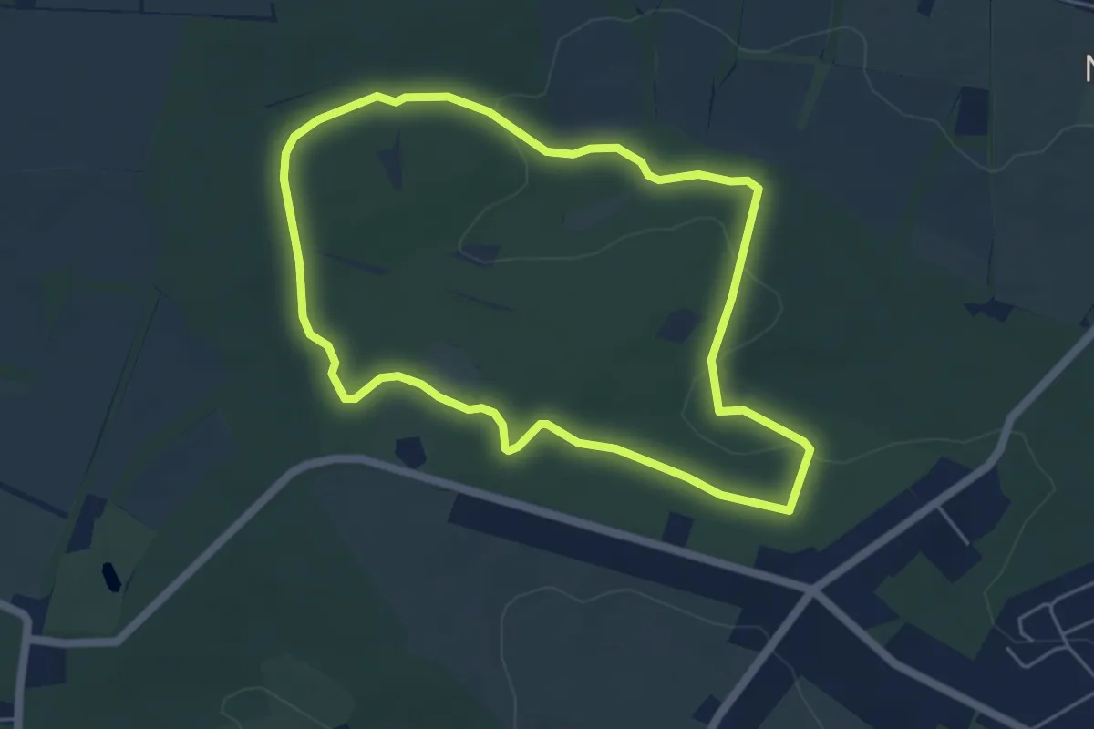
Easy · Trail
Yellow Trail
4.3 km · ↑ 74 m · 1 h 15 min
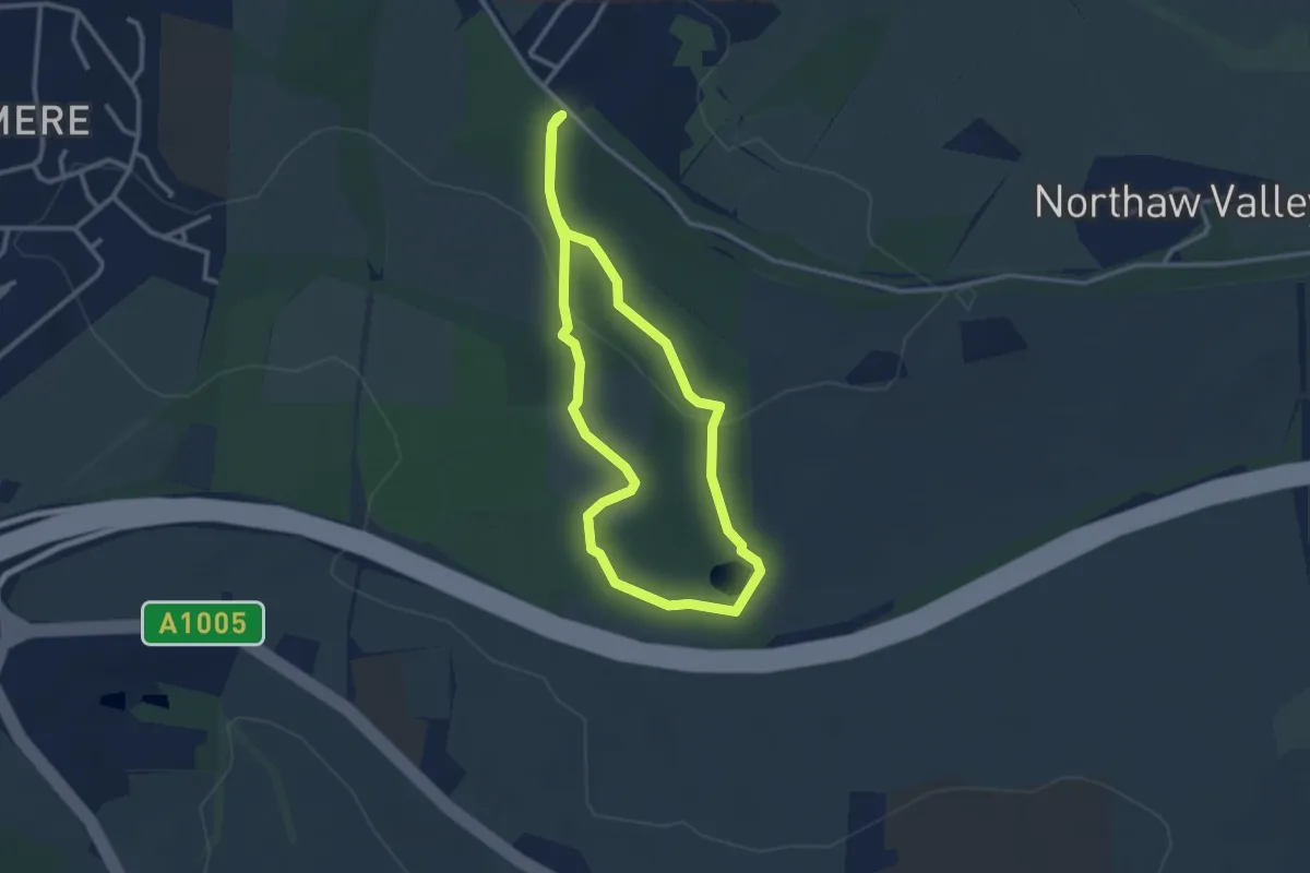
Easy · Trail
Yellow Trail
2.4 km · ↑ 30 m · 40 min
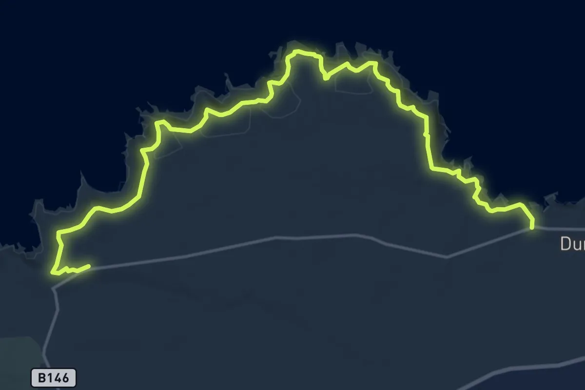
Demanding · Trail
Yellow Trail, Giant's Causeway
15.3 km · ↑ 1186 m · 6 h 11 min
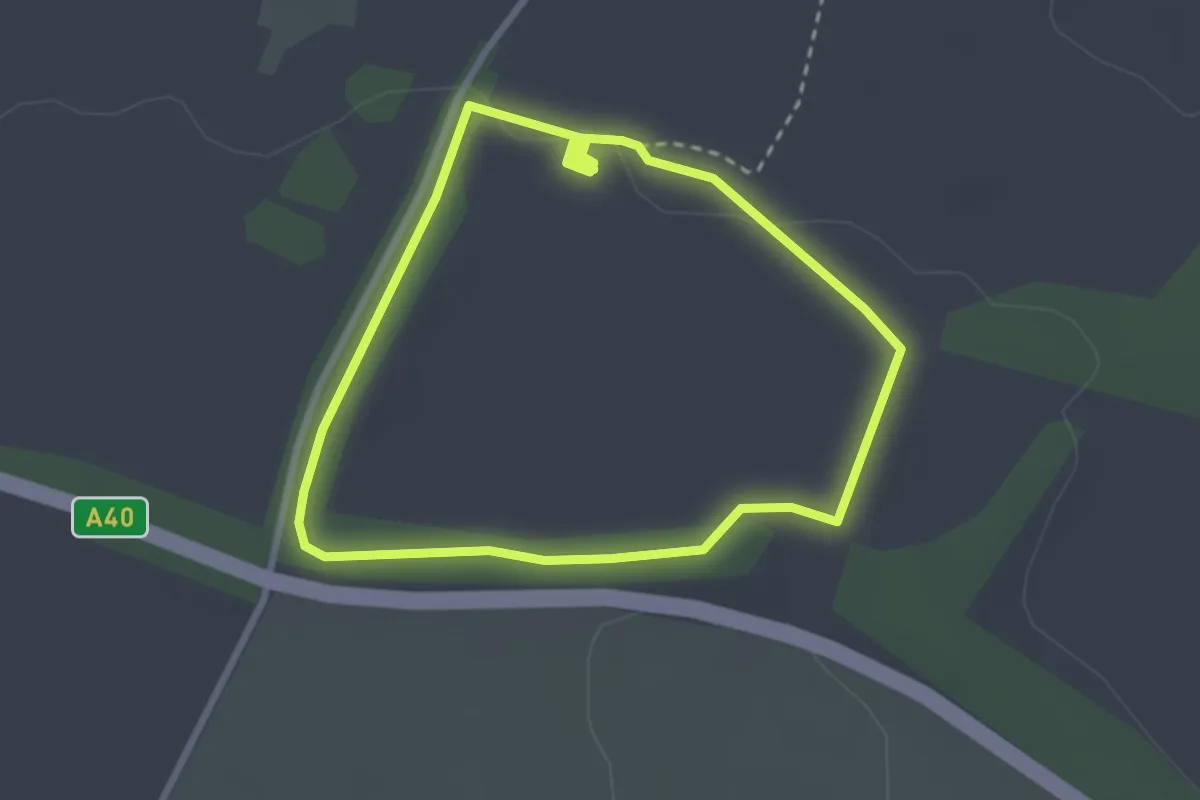
Easy · Trail
Yellow Trail, Sherborne Park Estate
2.3 km · ↑ 13 m · 37 min
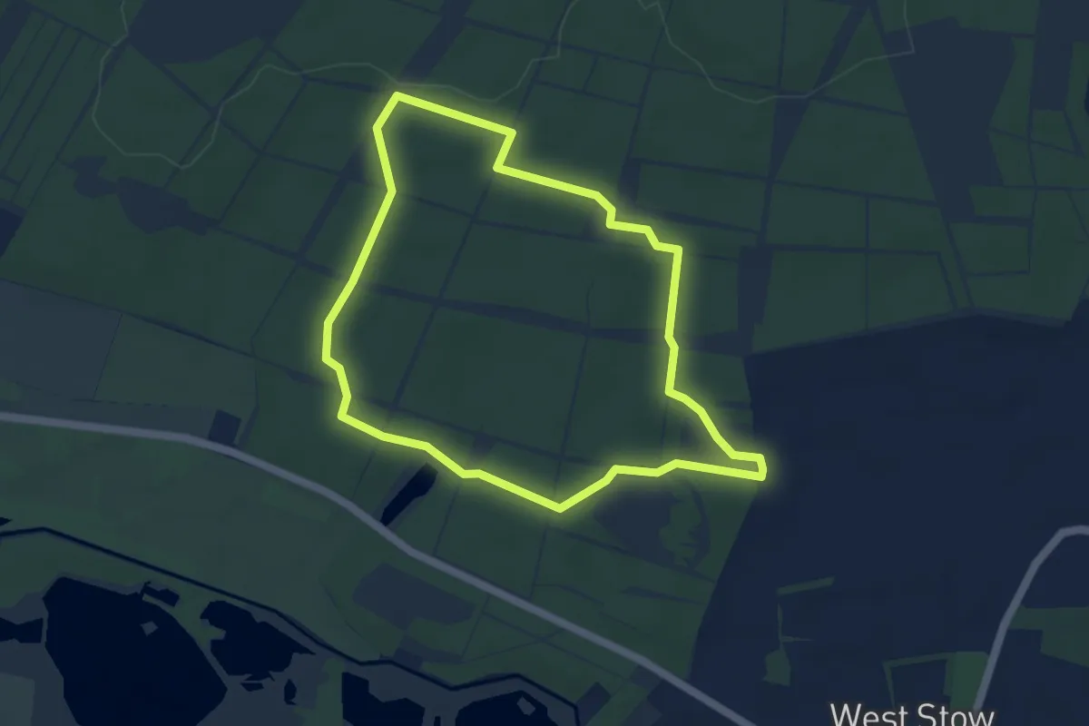
Easy · Trail
Yellow Walk
4.0 km · ↑ 21 m · 1 h 2 min
Easy · Trail
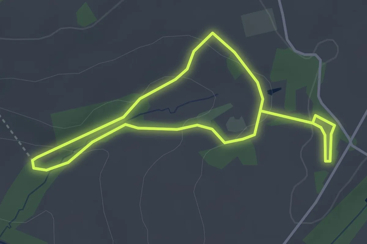
Yellow Walk, Buckland Abbey
2.6 km · ↑ 88 m · 49 min
Easy · Trail
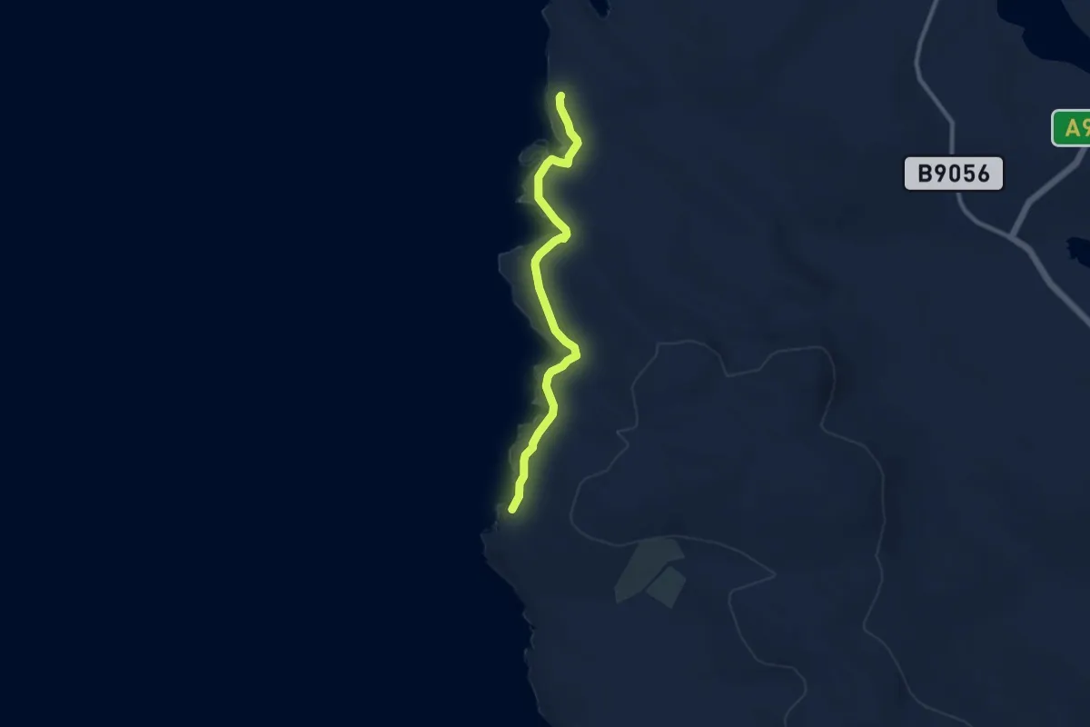
Yesnaby Trail
6.9 km · ↑ 170 m · 1 h 59 min
Easy · Trail
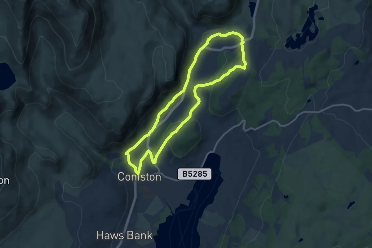
Yewdale Valley walk, Tarn Hows and Coniston
7.3 km · ↑ 188 m · 2 h 14 min
Easy · Trail
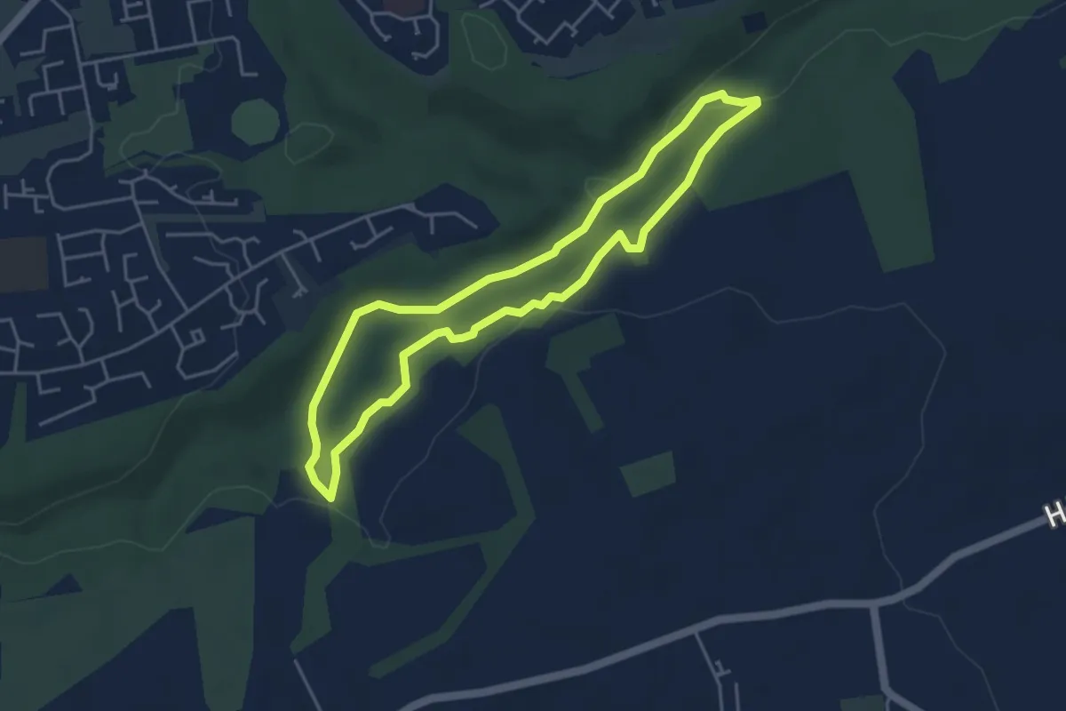
Yew Tree Trail
3.4 km · ↑ 85 m · 1 h 3 min
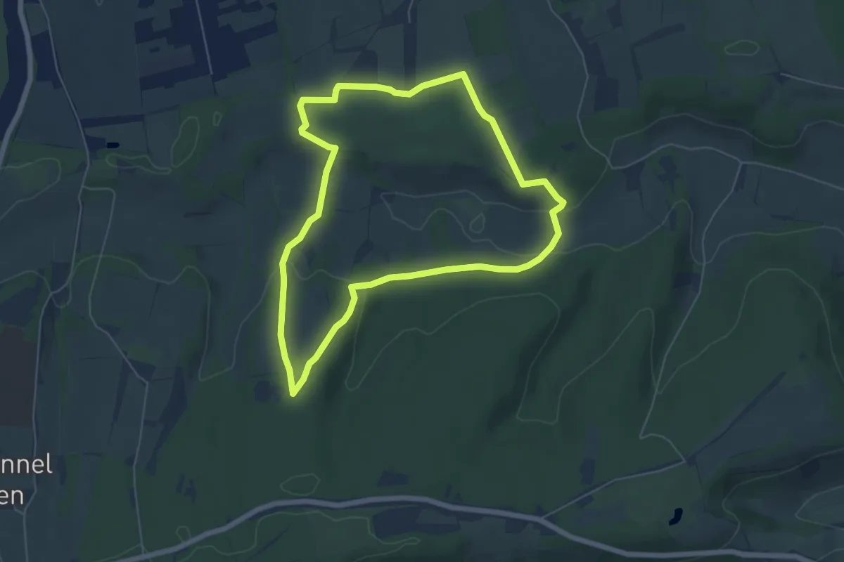
Easy · Trail
Yew Tree Walk, Polesden Lacey
5.1 km · ↑ 128 m · 1 h 34 min
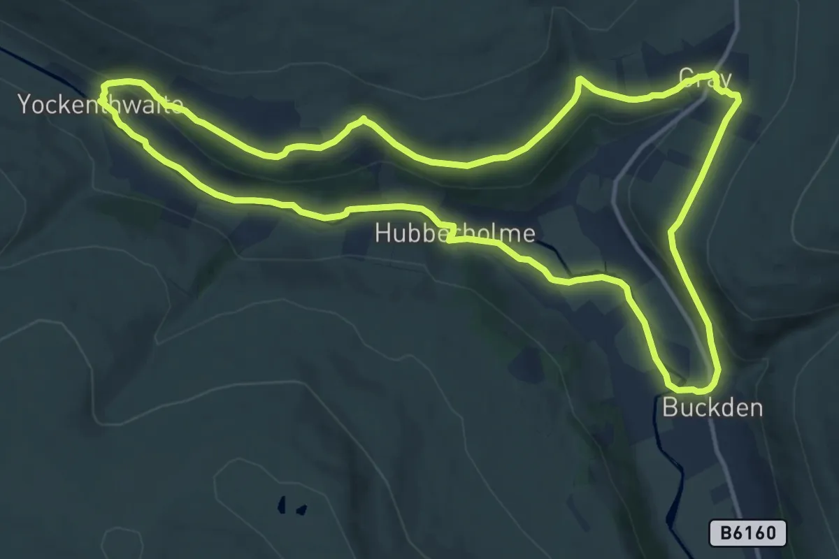
Medium · Trail
Yockenthwaite to Cray walk, Upper Wharfdale
11.2 km · ↑ 183 m · 3 h 13 min
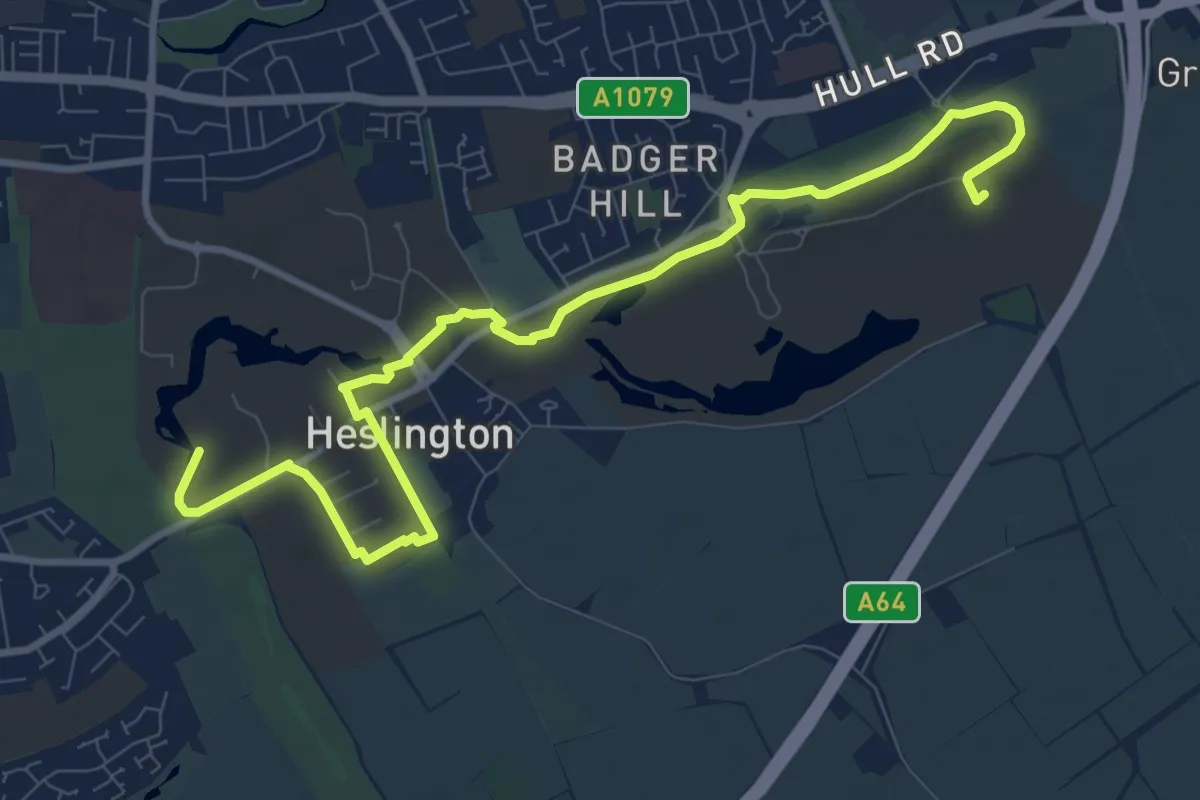
Medium · Trail
YorActive Trail
9.8 km · ↑ 30 m · 2 h 23 min
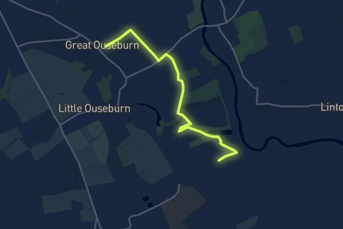
Medium · Trail
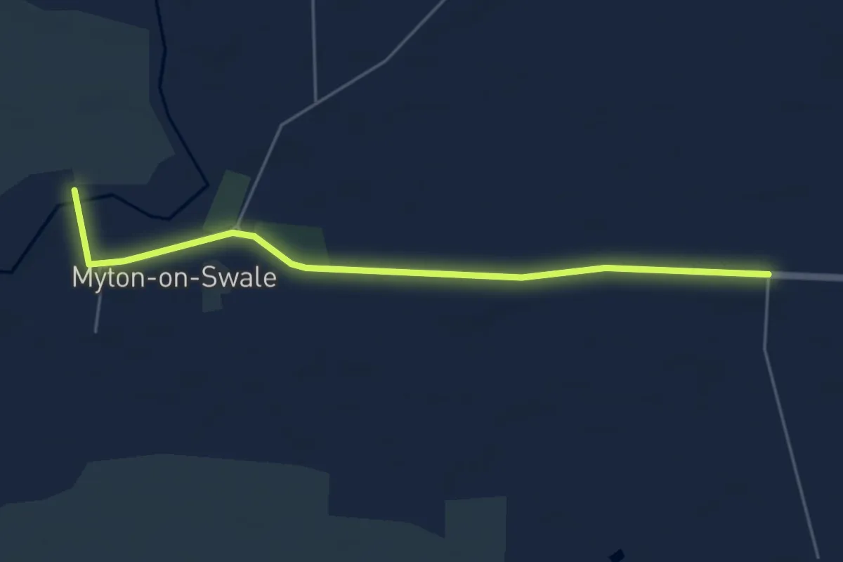
Yorevision
9.1 km · ↑ 13 m · 2 h 10 min
Easy · Trail
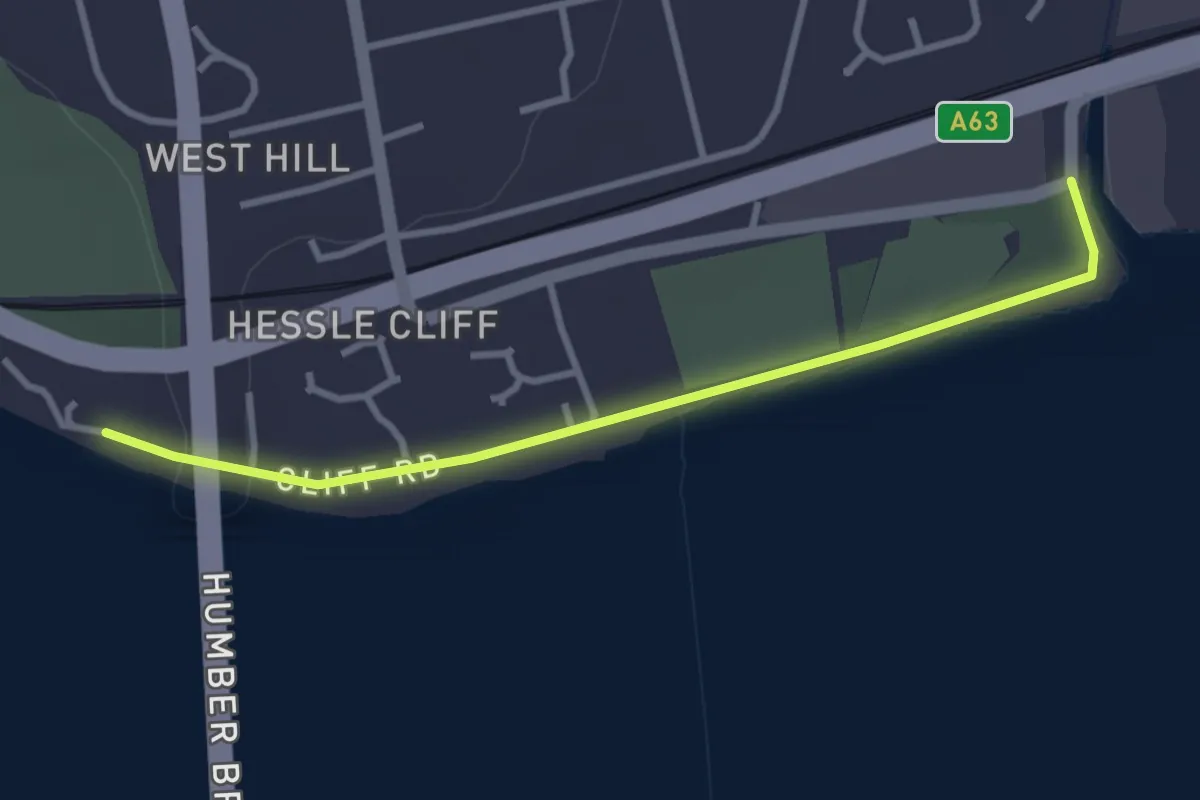
Yorevision
4.3 km · ↑ 4 m · 1 h 1 min
Easy · Trail
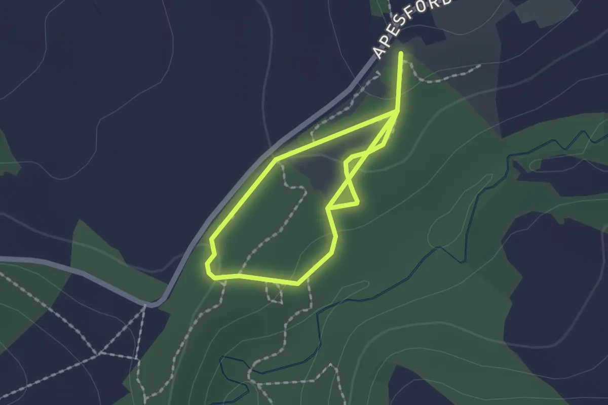
Yorkshire Wolds Way
2.7 km · ↑ 0 m · 38 min
Easy · Trail
Young Woodland Loop
2.4 km · ↑ 66 m · 43 min
Easy · Summit
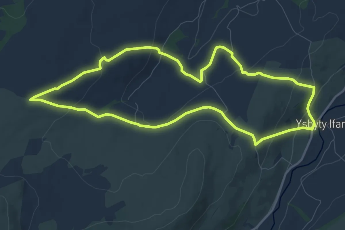
Ysbyty Ifan and Cwm Eidda walk, Ysbyty
7.7 km · ↑ 274 m · 2 h 31 min
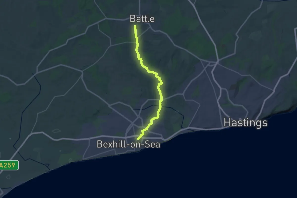
Demanding · Trail
1066 Country Walk - Bexhill Link
19.7 km · ↑ 223 m · 5 h 8 min
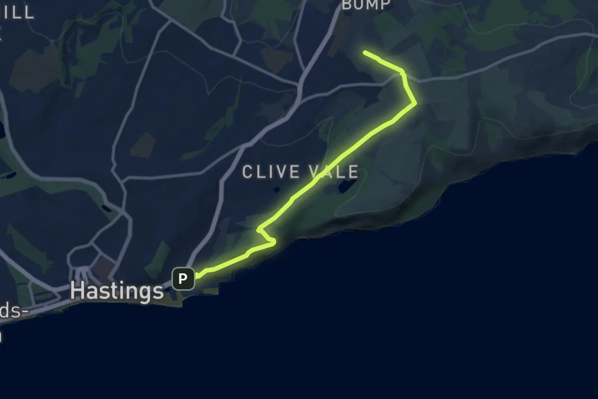
Medium · Summit
1066 Country Walk - Hastings Link
8.4 km · ↑ 190 m · 2 h 24 min
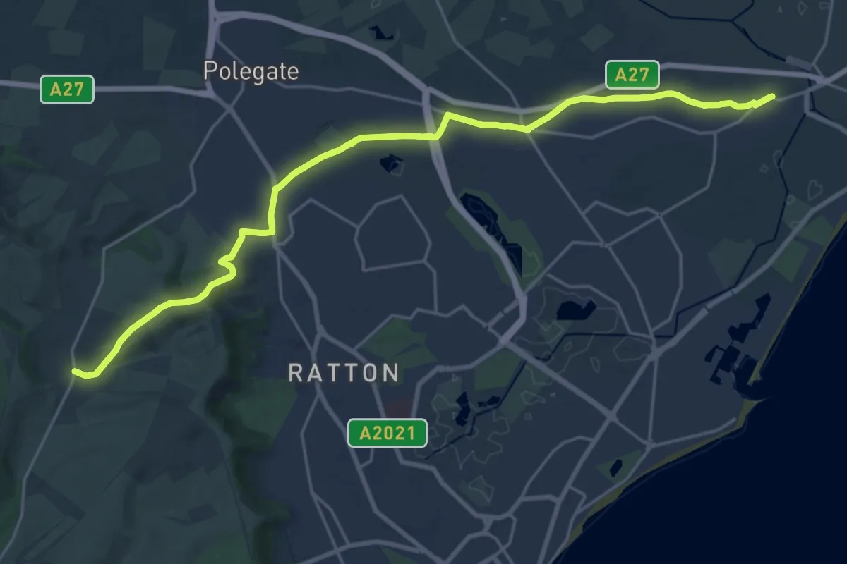
Demanding · Trail
1066 Country Walk - South Downs Link
21.0 km · ↑ 385 m · 5 h 47 min
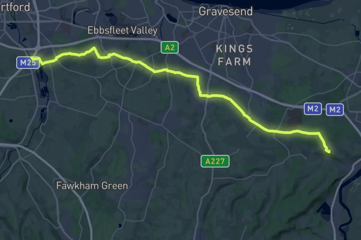
Demanding · Summit
1066 Harold's Way
35.7 km · ↑ 460 m · 9 h 25 min
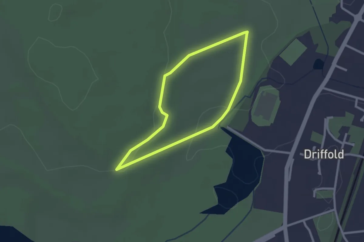
Easy · Trail
2km walk: Sutton Park
1.7 km · ↑ 14 m · 28 min
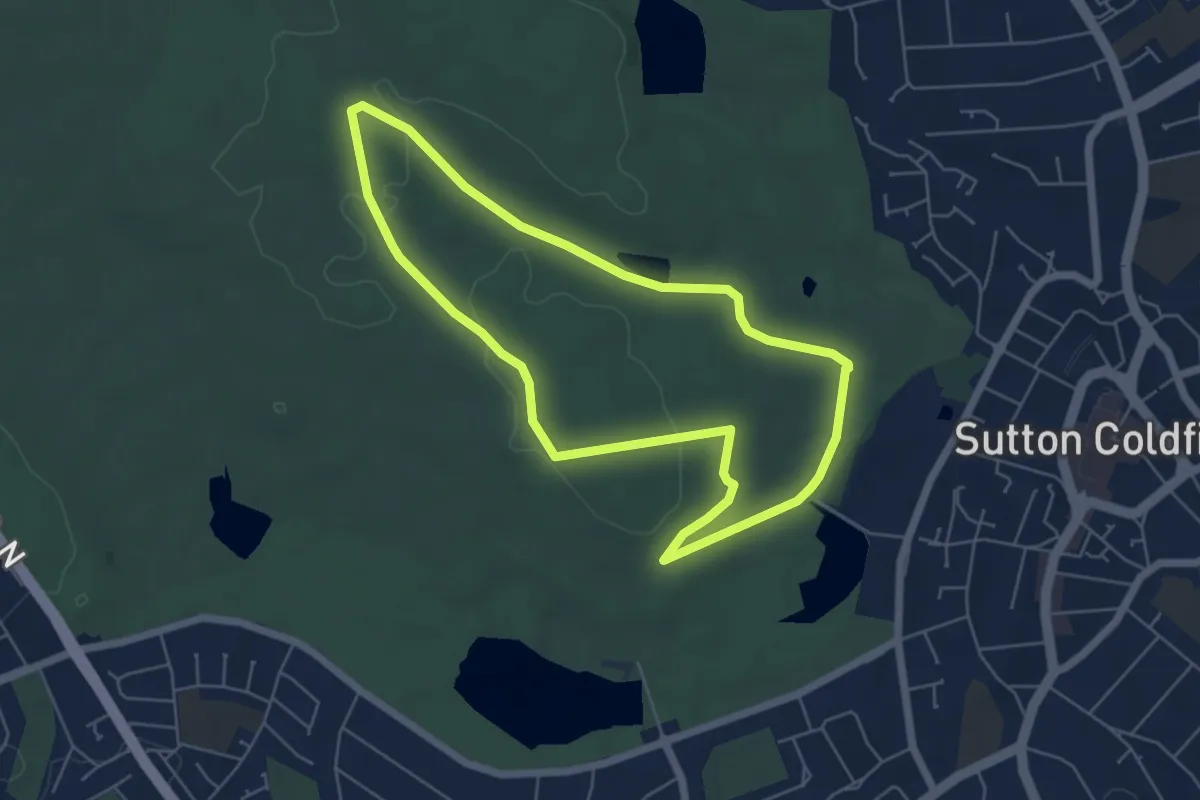
Easy · Trail
5km walk: Sutton Park
4.9 km · ↑ 45 m · 1 h 19 min
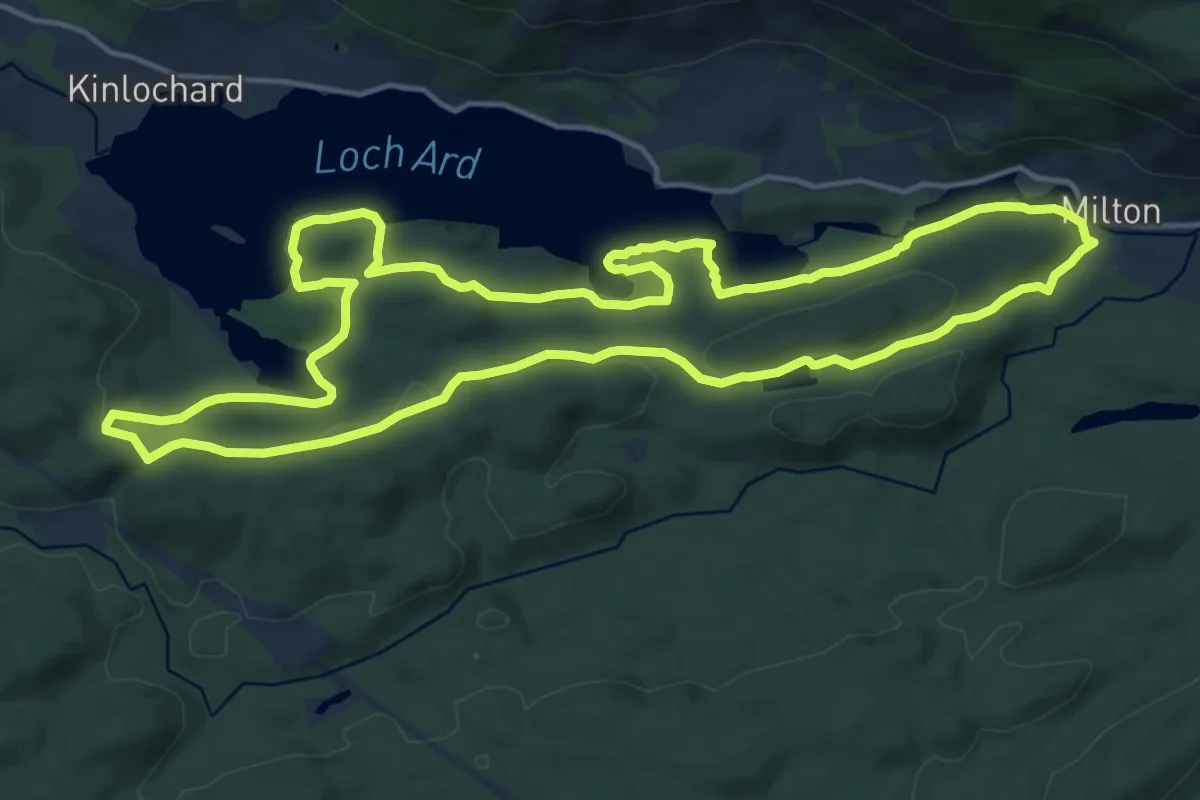
Medium · Trail
8 mile loop
13.8 km · ↑ 251 m · 3 h 59 min
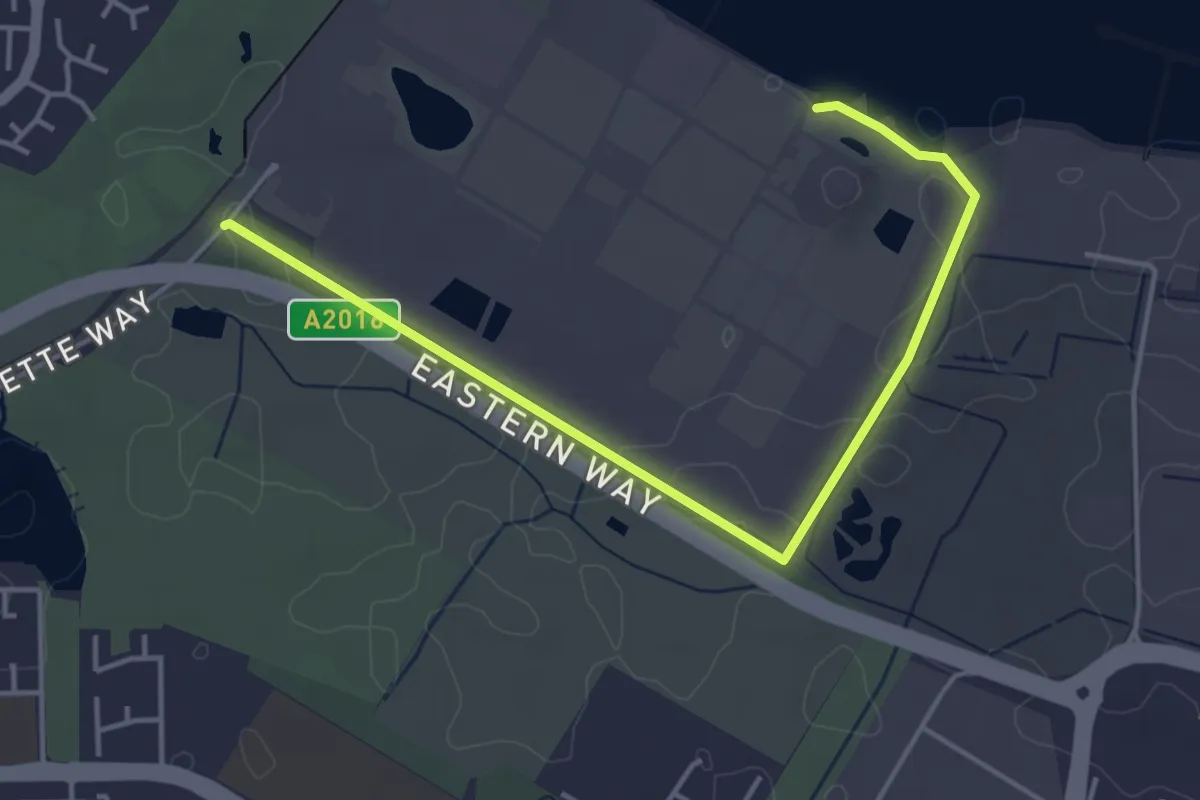
Easy · Trail
Bazalgette Way – Norman Road
4.3 km · ↑ 4 m · 1 h 1 min
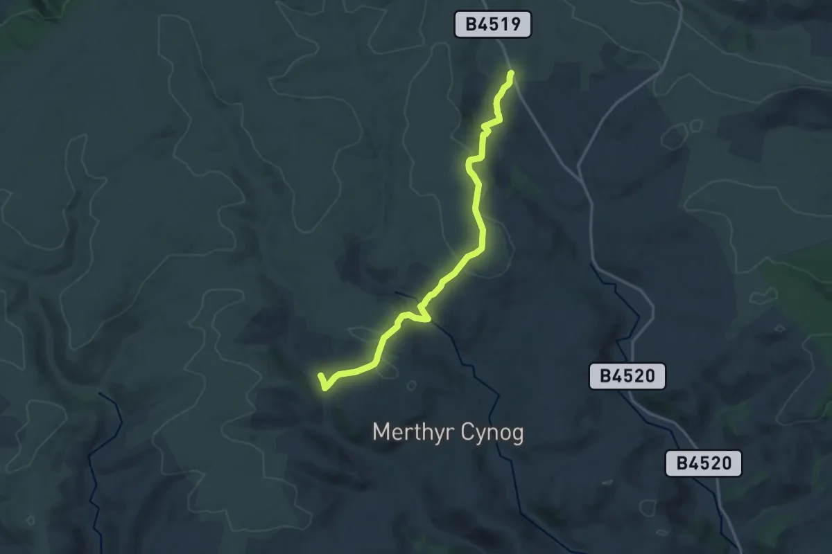
Medium · Trail
Llwyn y Celyn – Upper Chapel Viewpoint
14.2 km · ↑ 529 m · 4 h 29 min
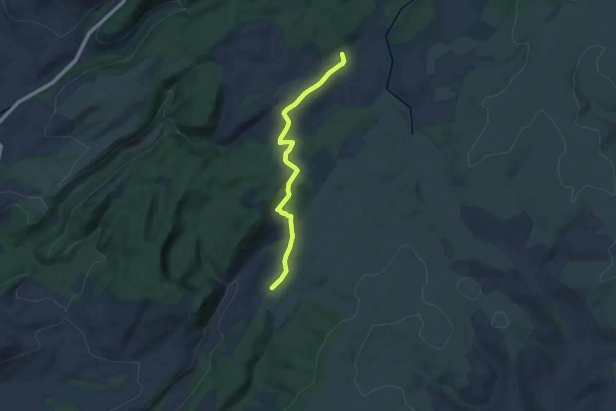
Medium · Trail
Tirabad – Craigyrwyddon
11.3 km · ↑ 361 m · 3 h 27 min
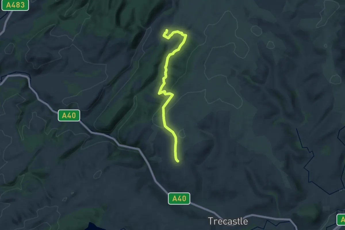
Medium · Trail
Craigyrwyddon – Fedw
15.6 km · ↑ 370 m · 4 h 28 min
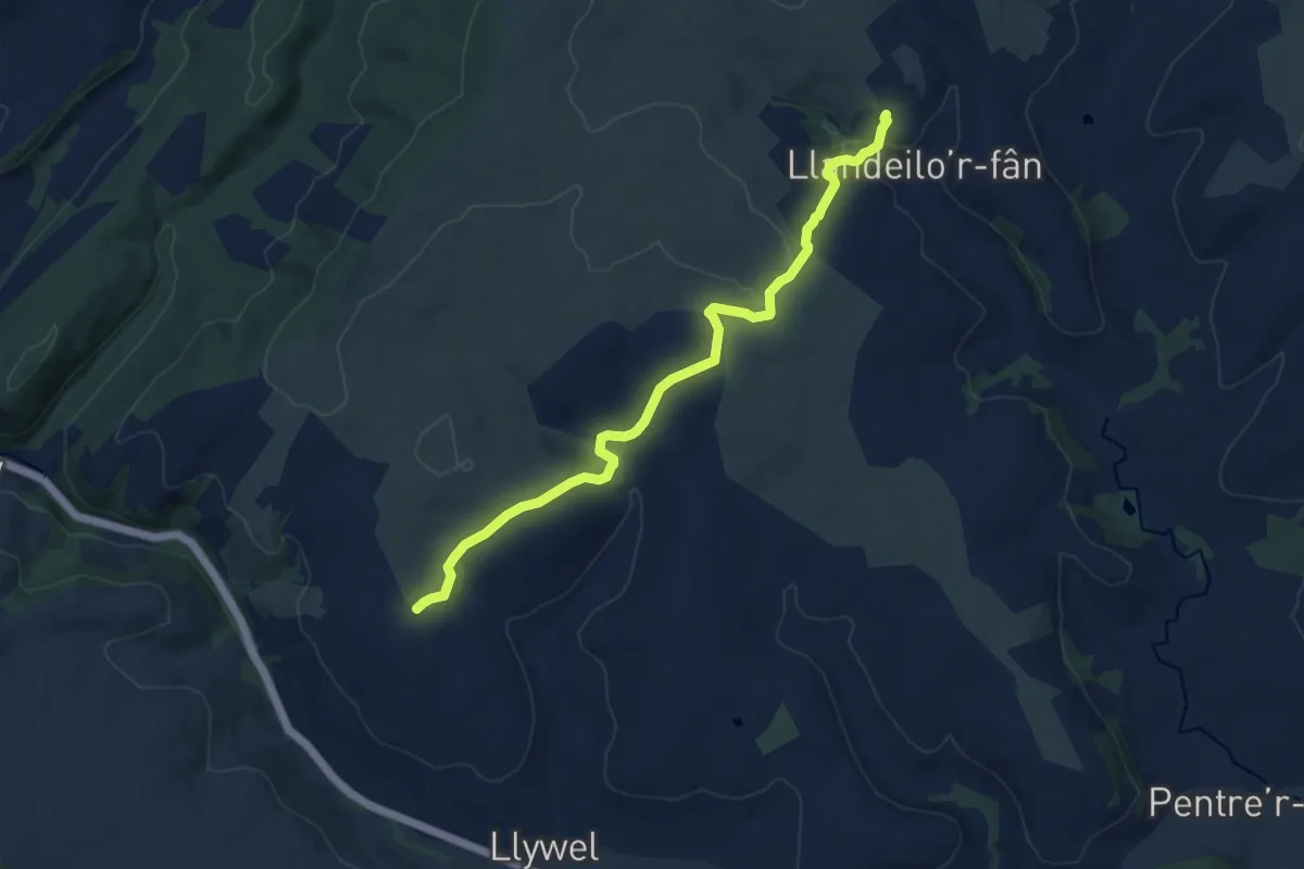
Medium · Trail
Fedw – Llandeilo’r Fan
11.4 km · ↑ 397 m · 3 h 33 min
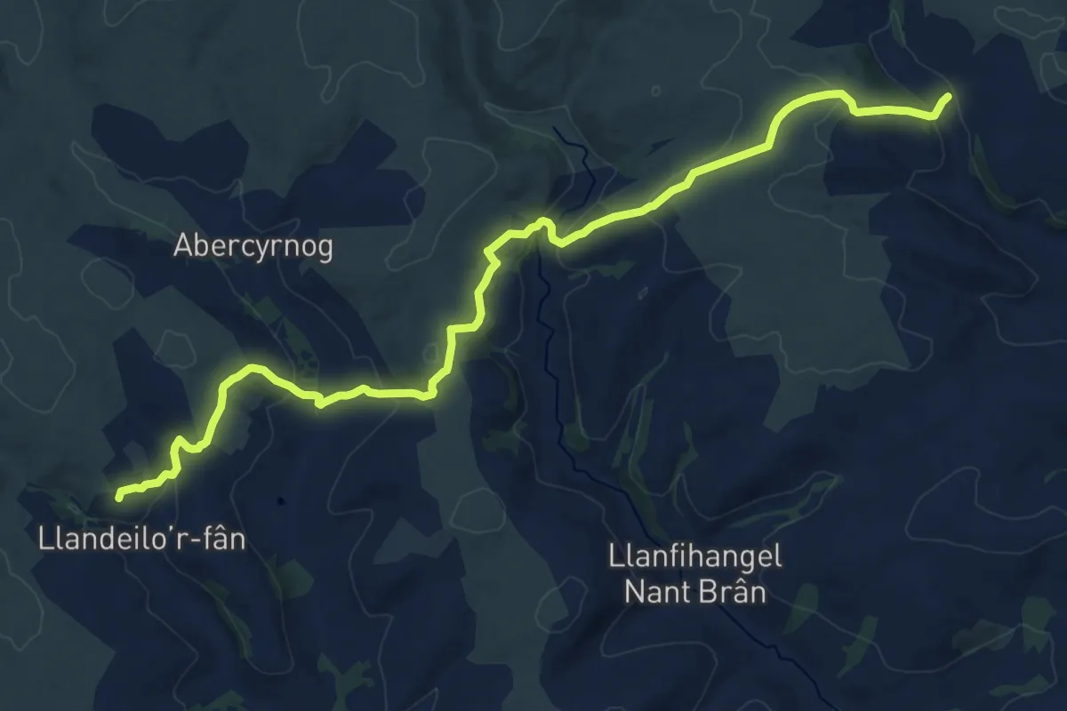
Demanding · Trail
Llandeilo’r Fan – Llwyn y Celyn
20.1 km · ↑ 769 m · 6 h 25 min
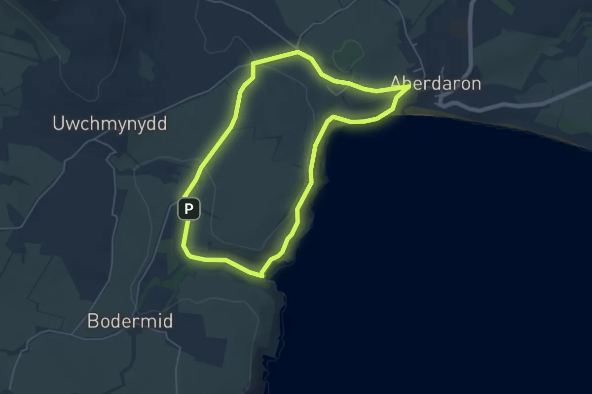
Easy · Trail
Visitor Car Park, Porth y Swnt, Henfaes, Aberdaron, Pwllheli, Gwynedd, LL53 8BE;52.80448, -4.71370;SH172264 – Visitor Car Park, Porth y Swnt, Henfaes, Aberdaron, Pwllheli, Gwynedd, LL53 8BE;52.80448, -4.71370;SH172264
3.9 km · ↑ 52 m · 1 h 6 min
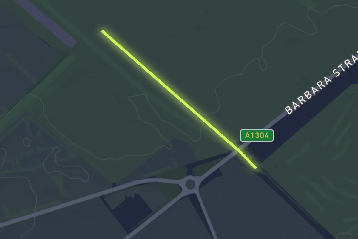
Easy · Trail
Reach – Wooditton
2.5 km · ↑ 19 m · 38 min
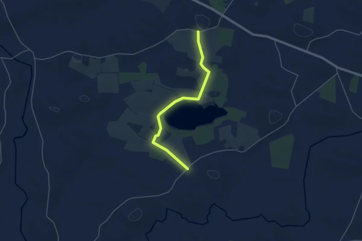
Easy · Trail
School Road – Crabtree Road
3.6 km · ↑ 23 m · 54 min
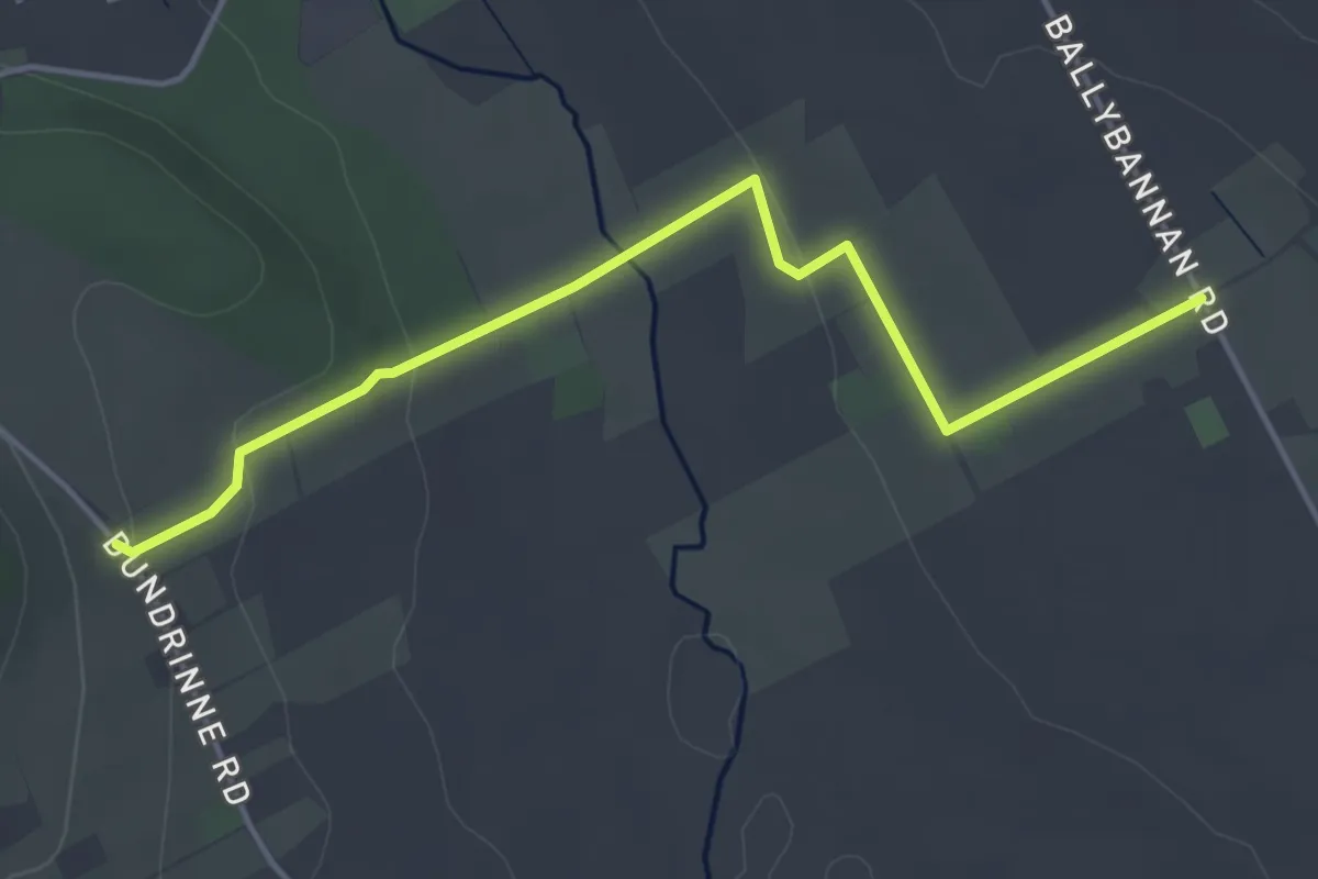
Easy · Trail
Dundrinne Road – Ballybannon Road
3.8 km · ↑ 89 m · 1 h 6 min
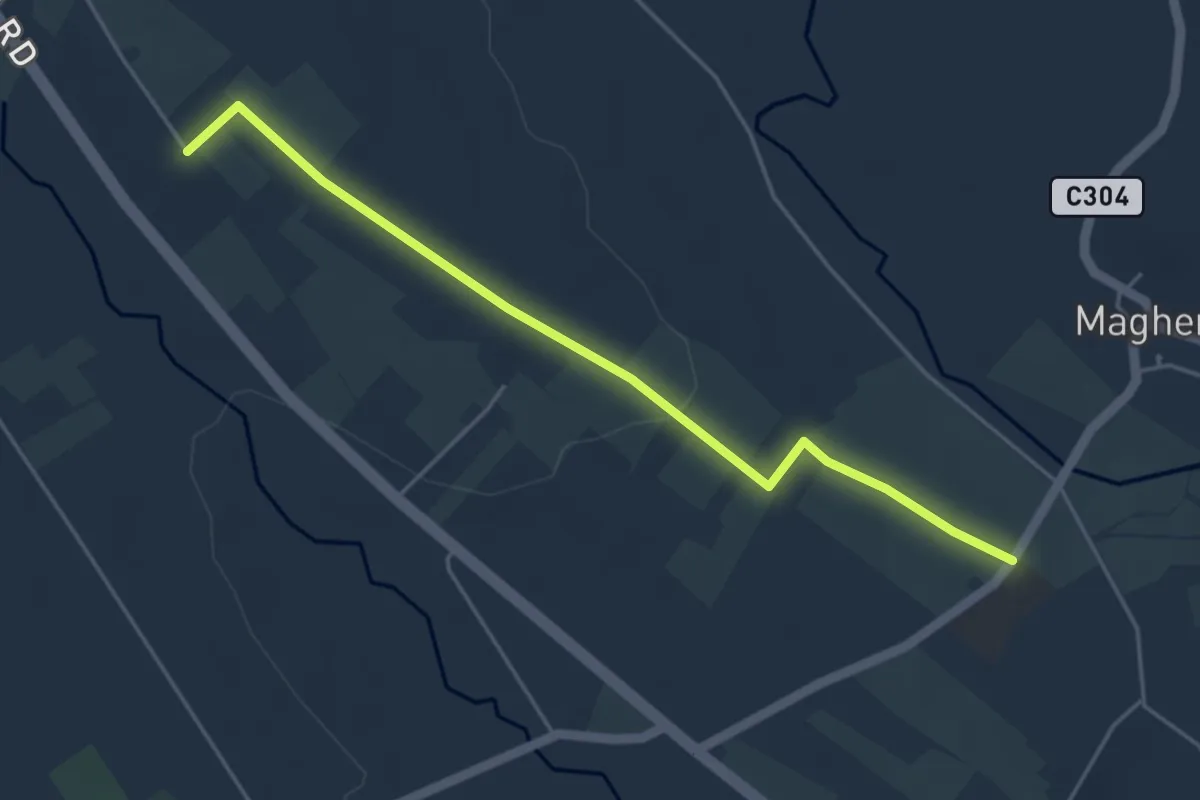
Easy · Trail
Drumee Road – Carnacaville Road
4.0 km · ↑ 69 m · 1 h 6 min
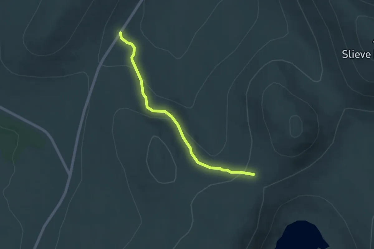
Easy · Trail
Ott Carpark – Mourne Wall
3.5 km · ↑ 160 m · 1 h 11 min
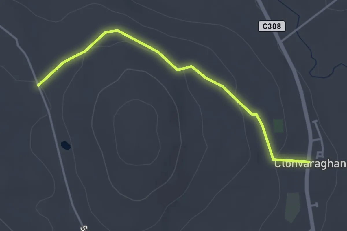
Easy · Trail
Clonvaraghan Road – Slievehanny Road
3.0 km · ↑ 68 m · 51 min