Trails in United States
10,332 hiking trails, each with its route, climb, walking time and grade.
All trails, page 10 of 216
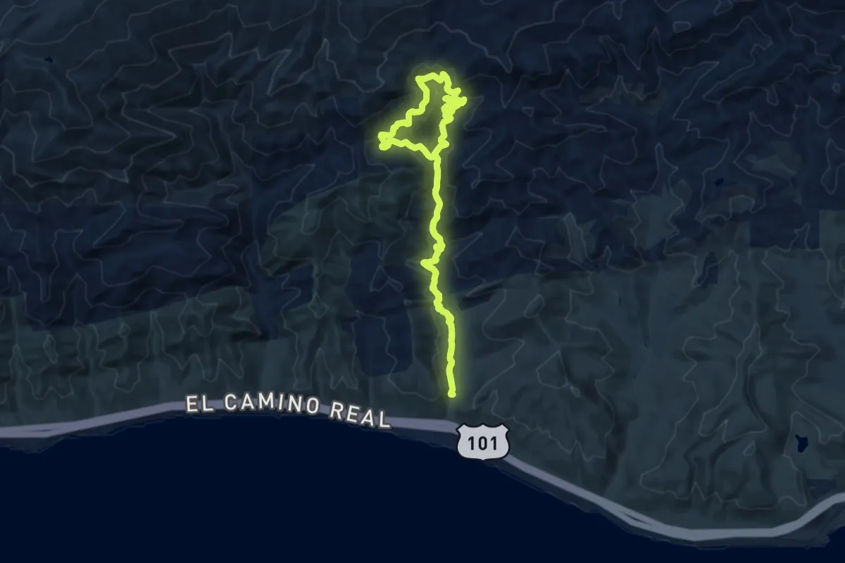
Medium · Trail
Baron Ranch Trail
10.8 km · ↑ 523 m · 3 h 50 min
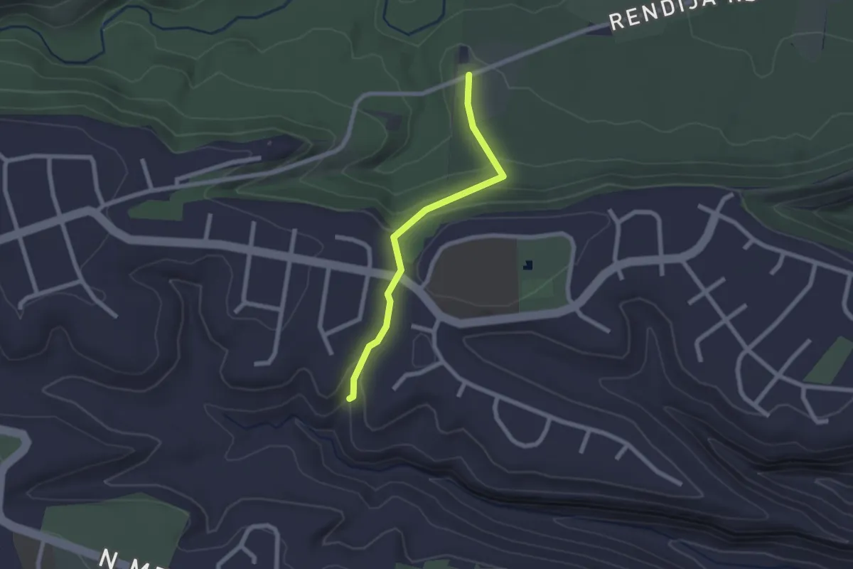
Easy · Trail
Barranca Crossing Trail
2.3 km · ↑ 99 m · 45 min
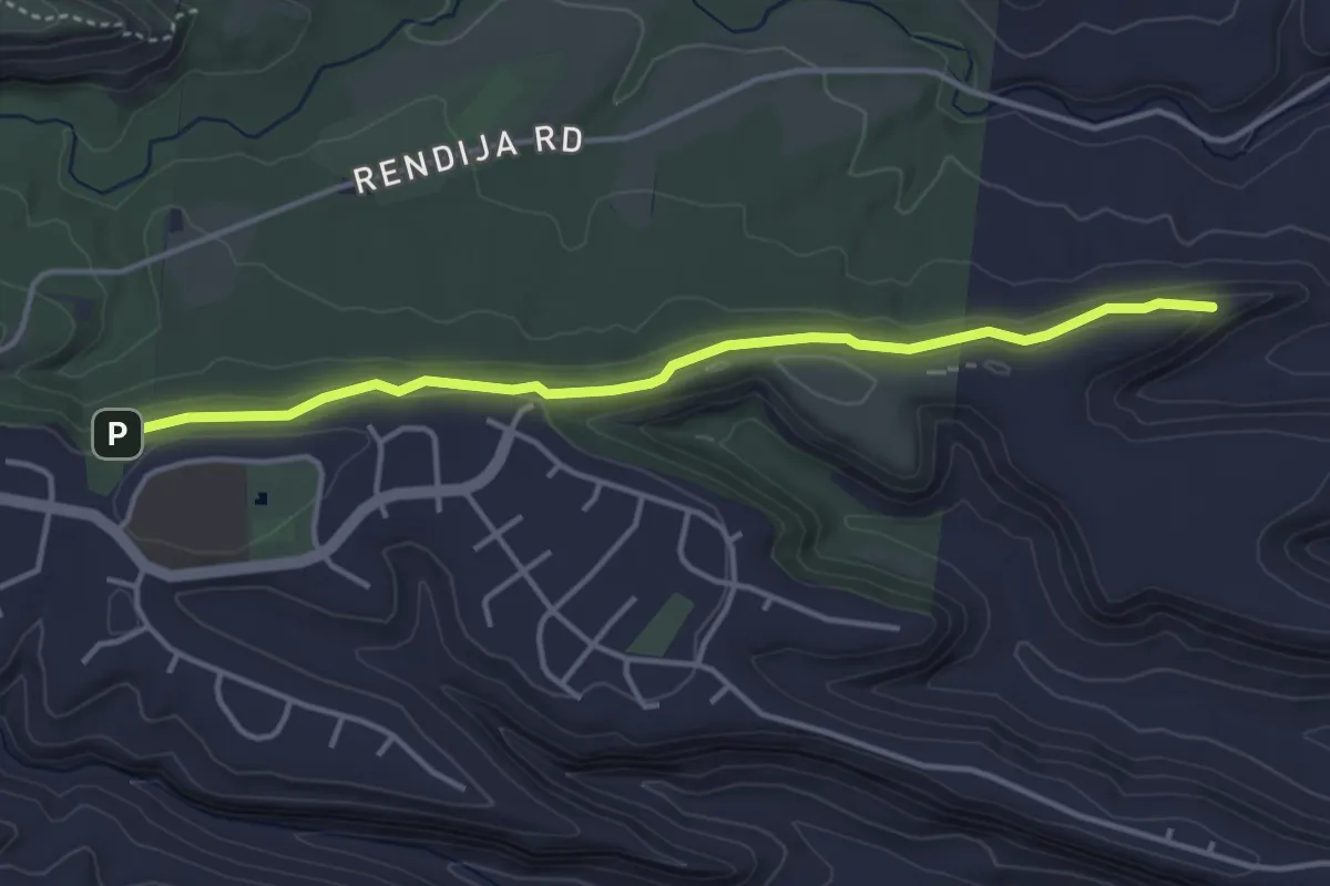
Easy · Trail
Barranca Mesa North Rim Trail
4.7 km · ↑ 86 m · 1 h 17 min
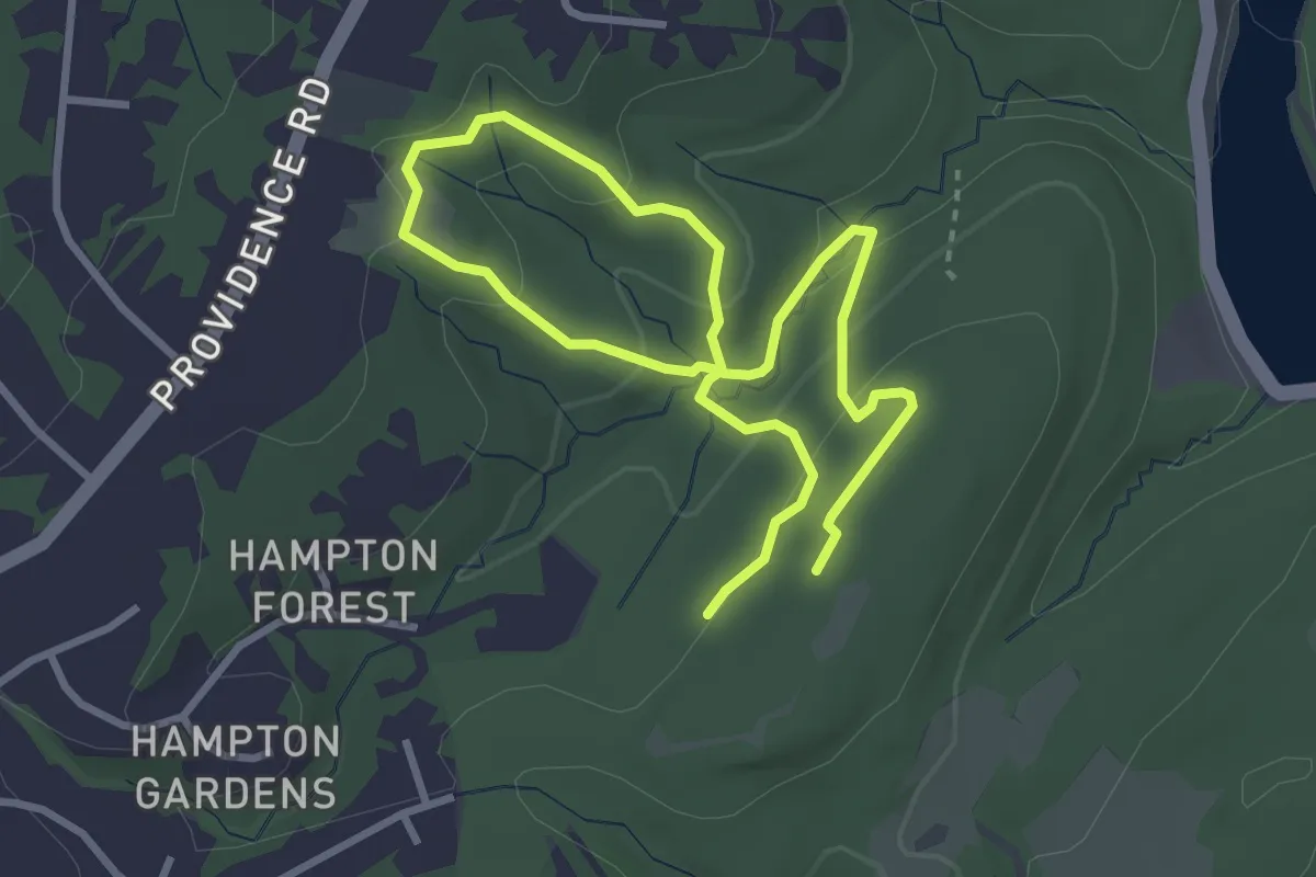
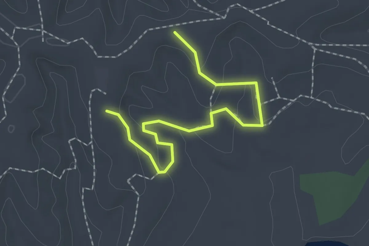
Easy · Trail
Barrans-Baldwin Trail (green)
5.5 km · ↑ 217 m · 1 h 47 min
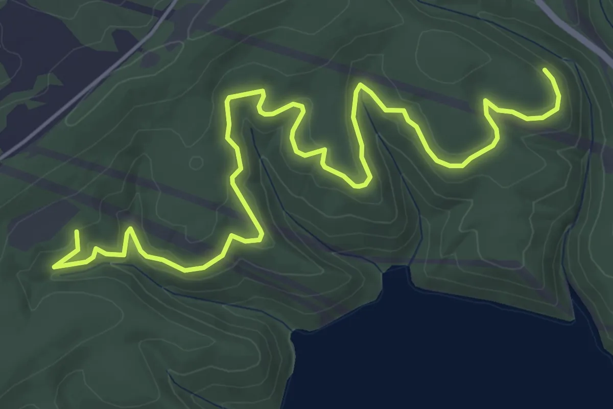
Easy · Trail
Barred Owl Hollow Trail
2.2 km · ↑ 70 m · 41 min
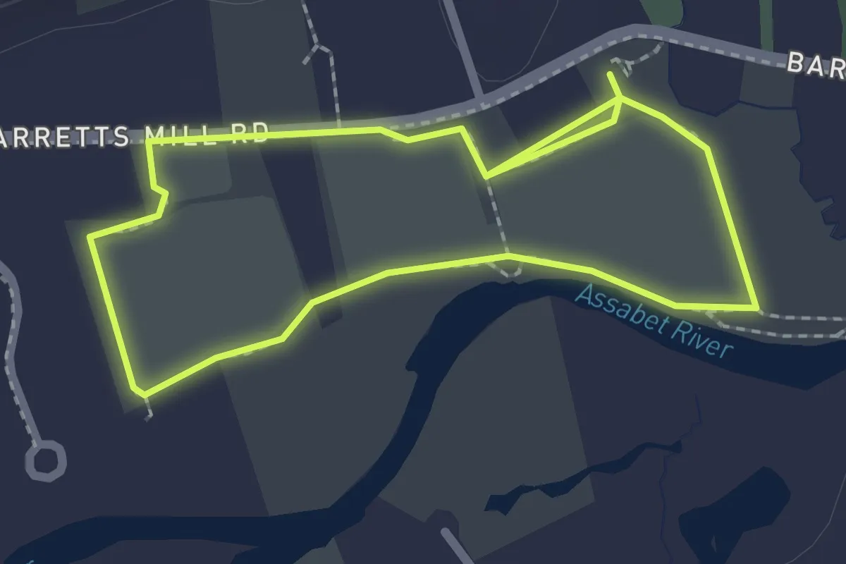
Easy · Trail
Barrel Bay Trail
7.7 km · ↑ 112 m · 2 h 3 min
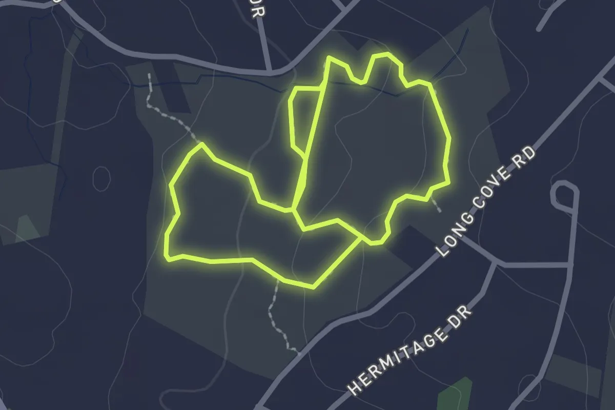
Easy · Trail
Barretts Mill Loop
2.1 km · ↑ 0 m · 31 min
Easy · Trail
Barrett Yellow Trail
4.6 km · ↑ 86 m · 1 h 17 min
Easy · Trail
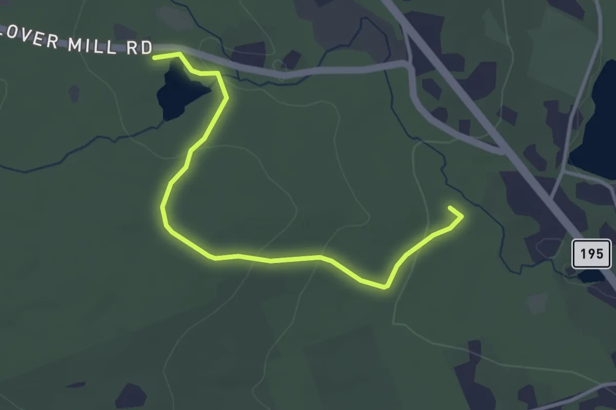
Barrows Trail
3.6 km · ↑ 114 m · 1 h 6 min
Demanding · Trail
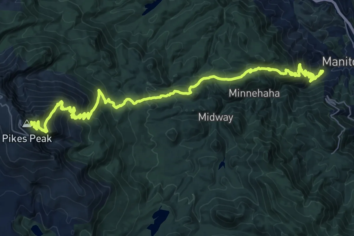
Barr Trail
18.7 km · ↑ 2277 m · 8 h 29 min
Medium · Summit
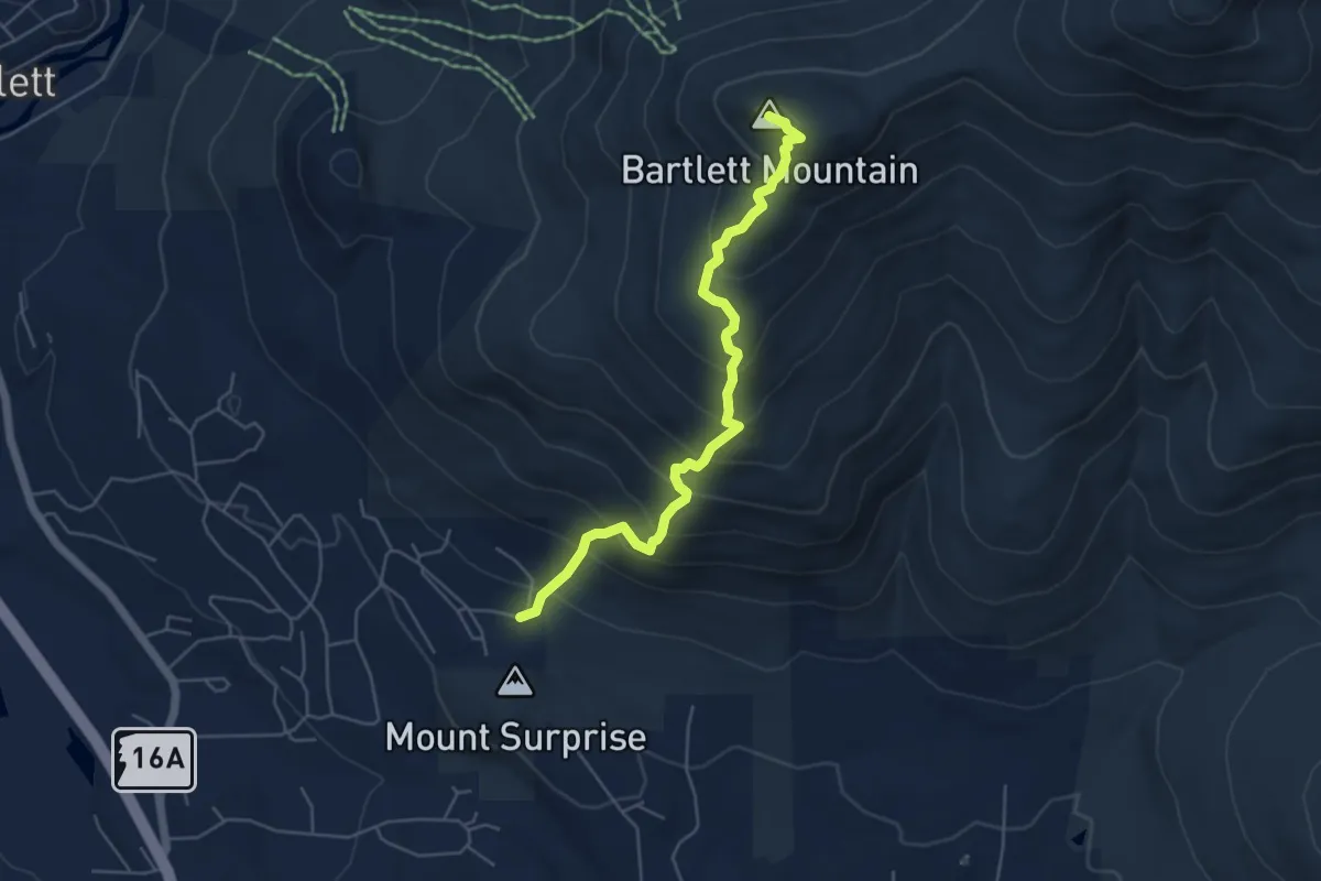
Bartlett Mountain Trail
5.5 km · ↑ 525 m · 2 h 26 min
Medium · Trail
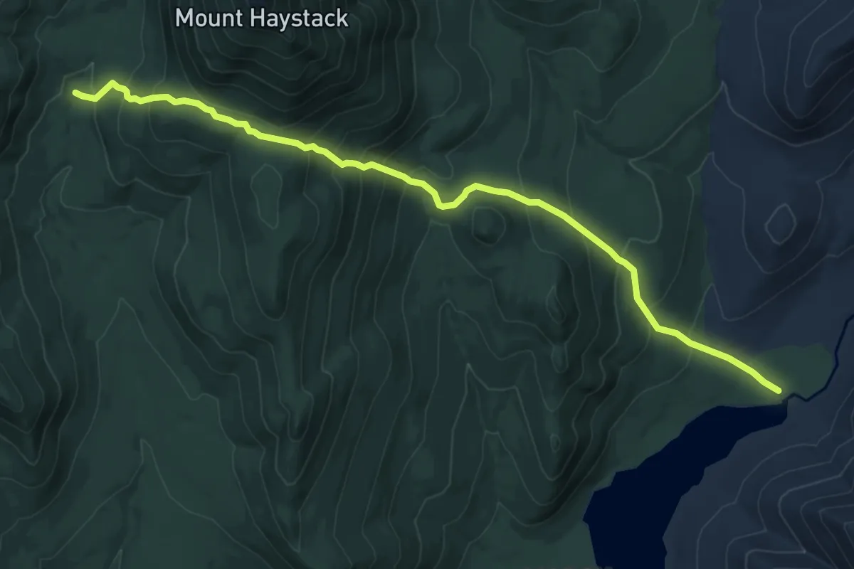
Bartlett Ridge Trail
9.7 km · ↑ 722 m · 3 h 52 min
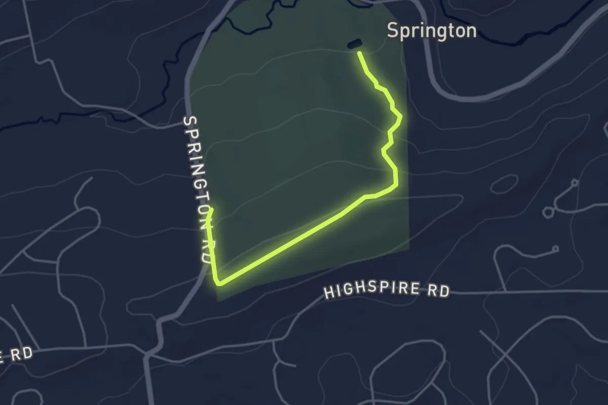
Easy · Trail
Bartol Trail (Purple)
4.1 km · ↑ 90 m · 1 h 9 min
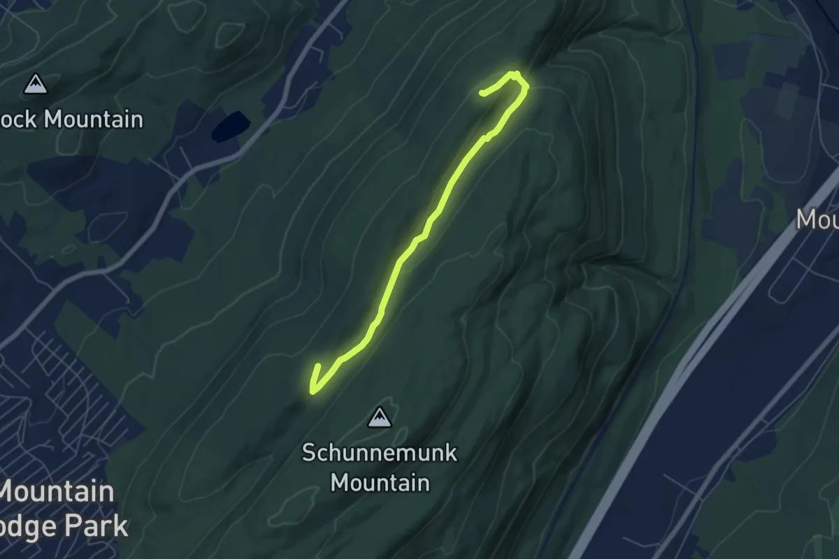
Easy · Trail
Barton Swamp Trail
6.1 km · ↑ 142 m · 1 h 45 min
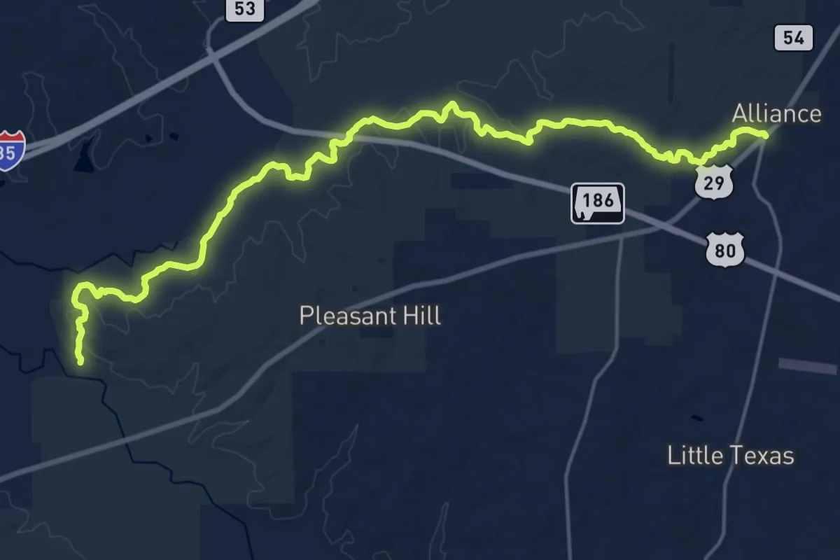
Demanding · Trail
Bartram National Recreational Trail
26.0 km · ↑ 264 m · 6 h 43 min
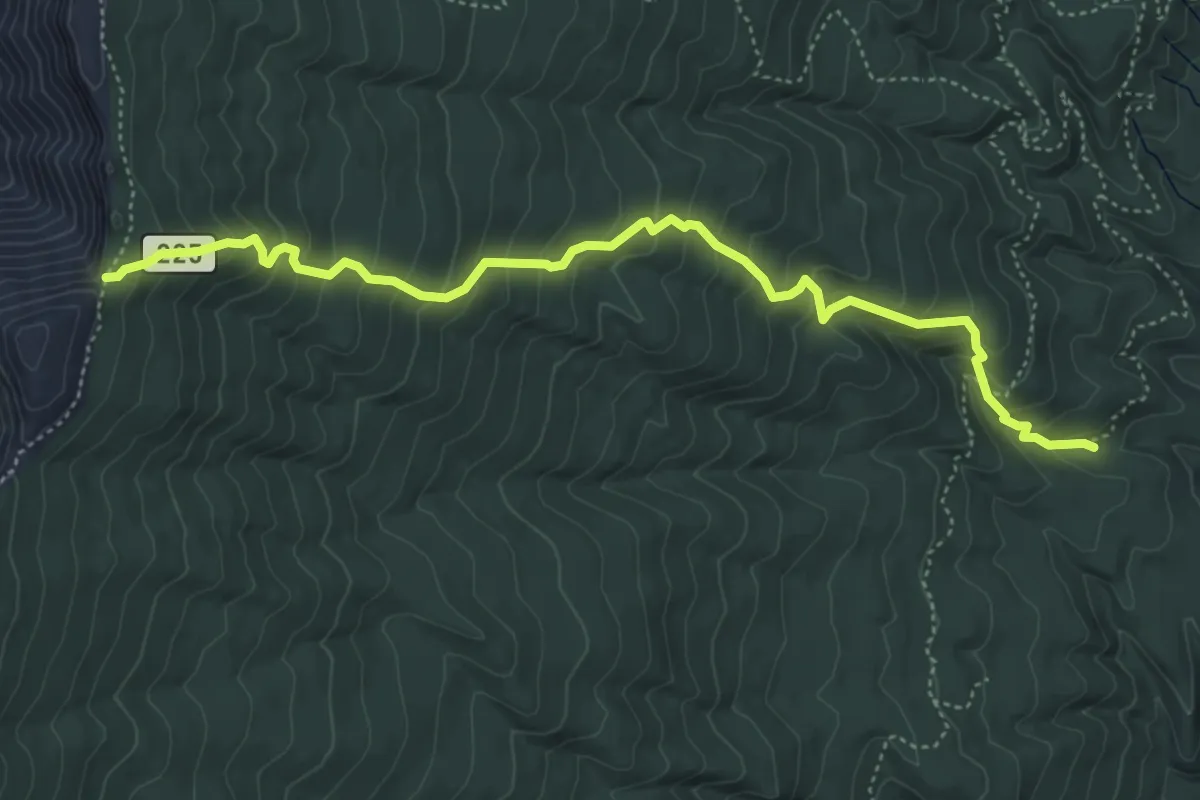
Demanding · Trail
Bart's Trail
6.4 km · ↑ 569 m · 2 h 45 min
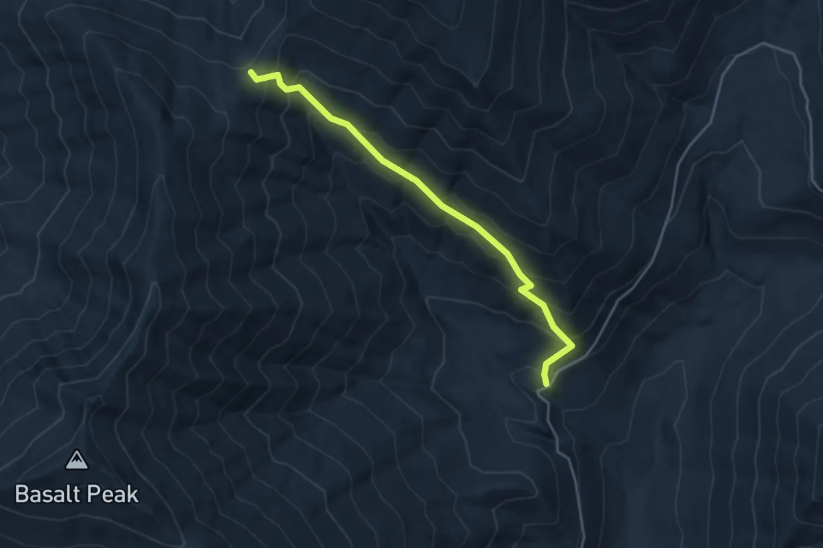
Medium · Trail
Basalt Pass Trail
3.5 km · ↑ 403 m · 1 h 43 min
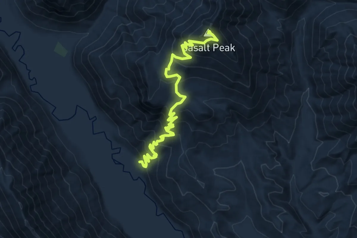
Demanding · Summit
Basalt Ridge Trail
16.6 km · ↑ 1102 m · 6 h 19 min
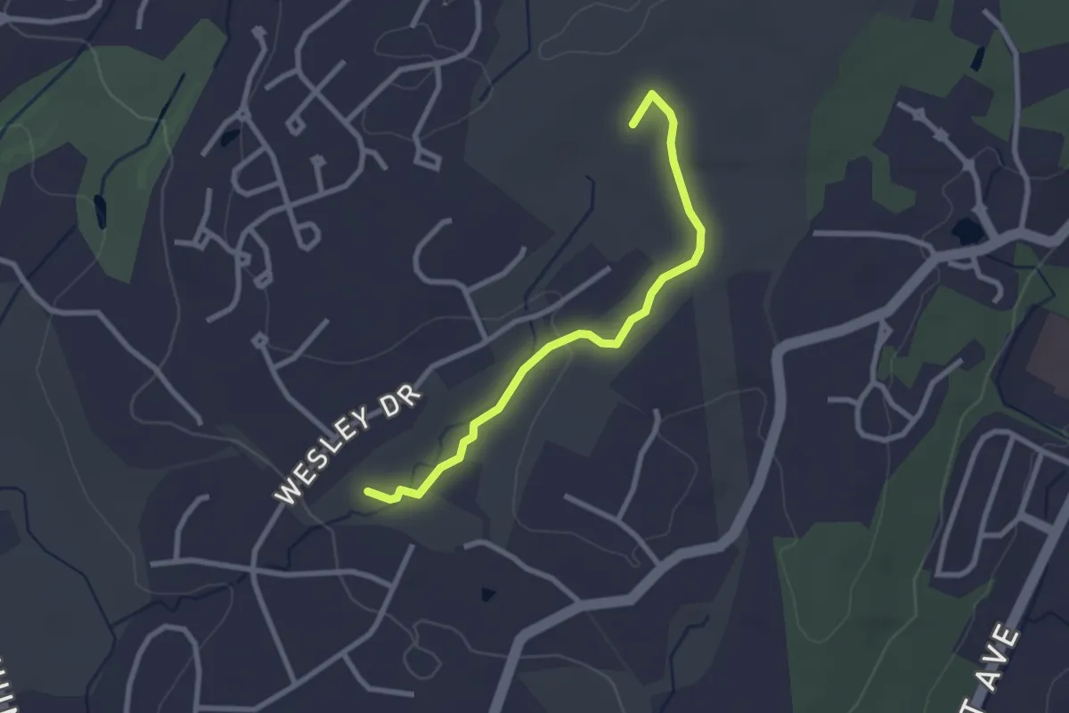
Easy · Trail
Basil Brook Bypass
2.8 km · ↑ 24 m · 42 min
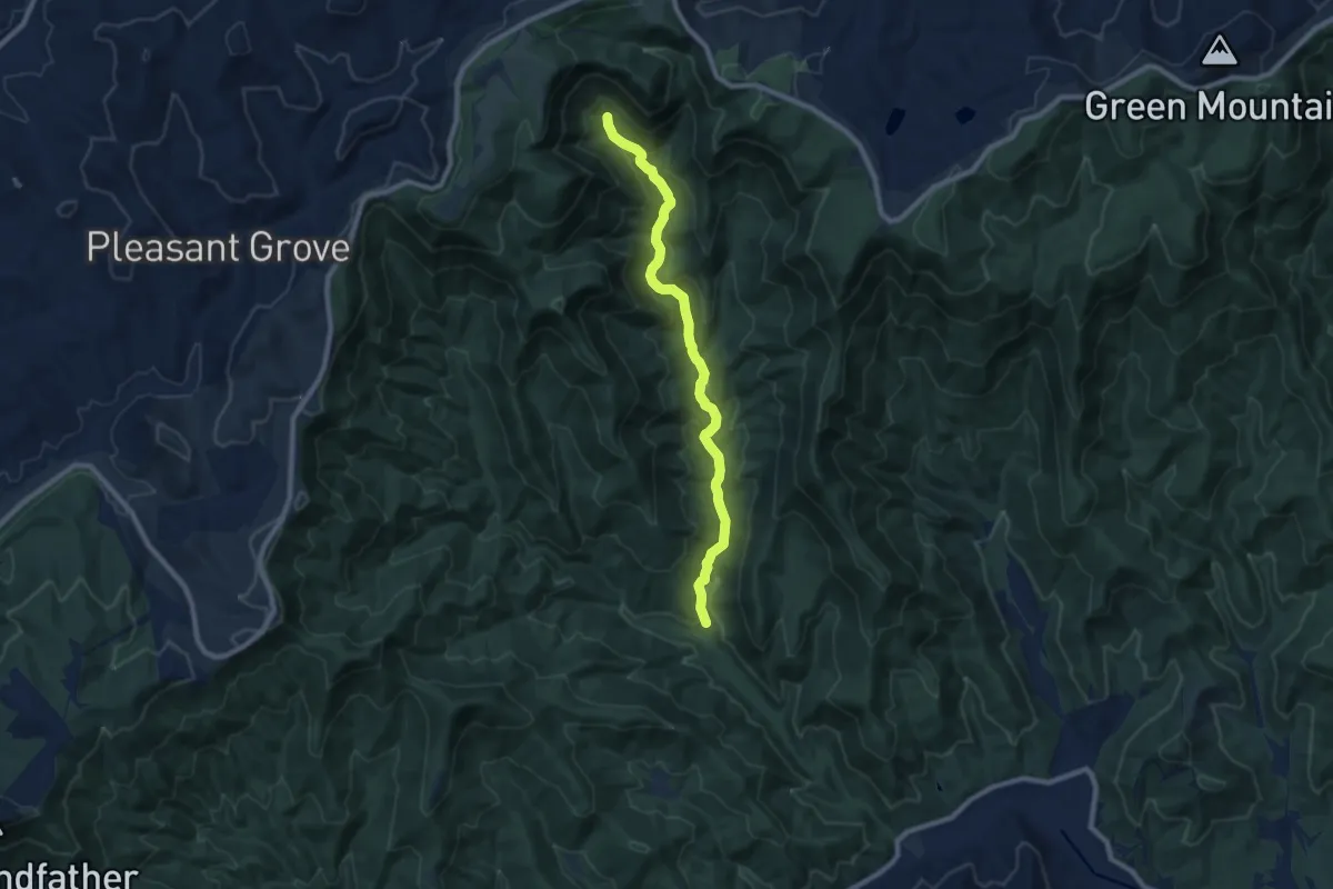
Medium · Trail
Basin Creek Trail
9.5 km · ↑ 407 m · 3 h 8 min
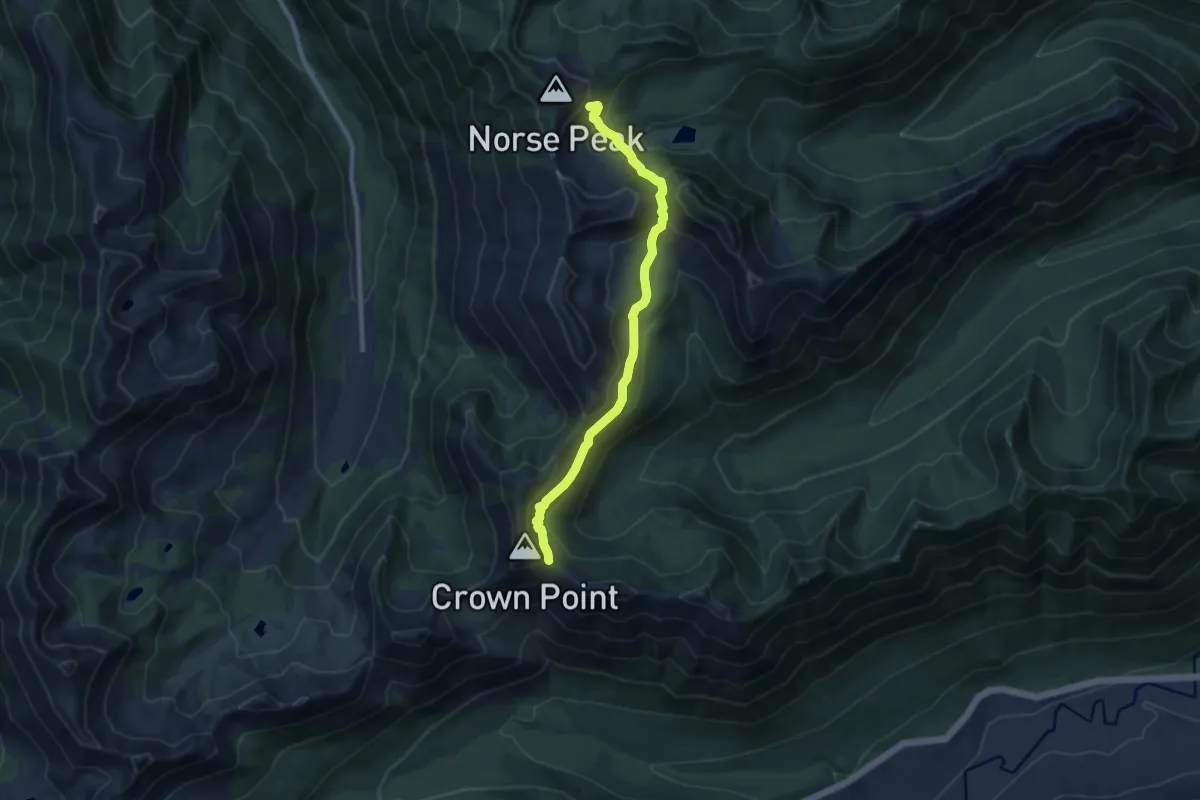
Medium · Trail
Basin Lake Trail
8.8 km · ↑ 559 m · 3 h 18 min
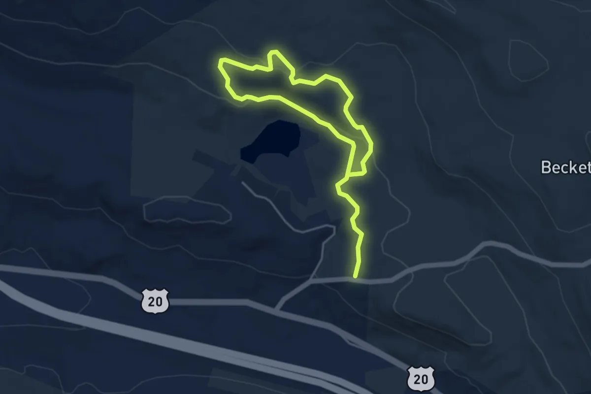
Easy · Trail
Basin Pond Trail
6.3 km · ↑ 147 m · 1 h 48 min
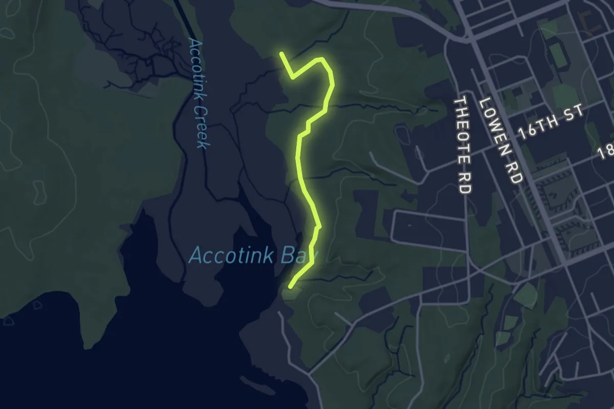
Easy · Trail
Basin Trail
3.0 km · ↑ 29 m · 46 min
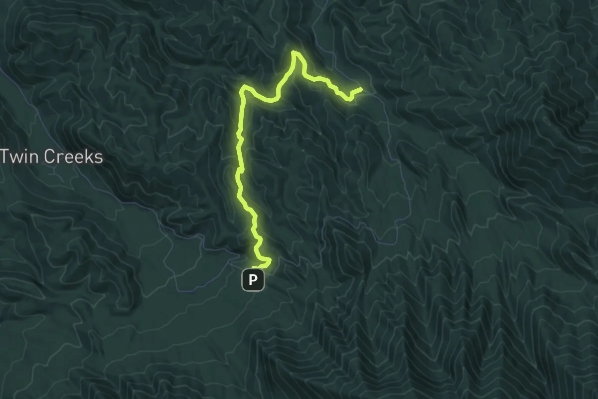
Medium · Trail
Baskins Creek Trail
8.6 km · ↑ 492 m · 3 h 6 min
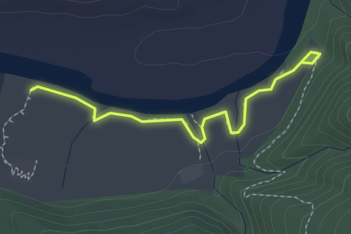
Easy · Trail
Bass Bright Trail
2.1 km · ↑ 27 m · 34 min
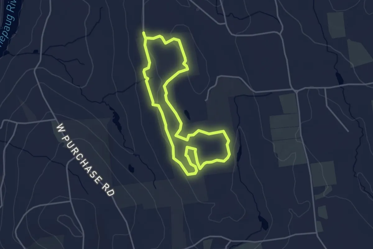
Easy · Trail
Bassett Loop Trail
3.7 km · ↑ 38 m · 1 h 1 min
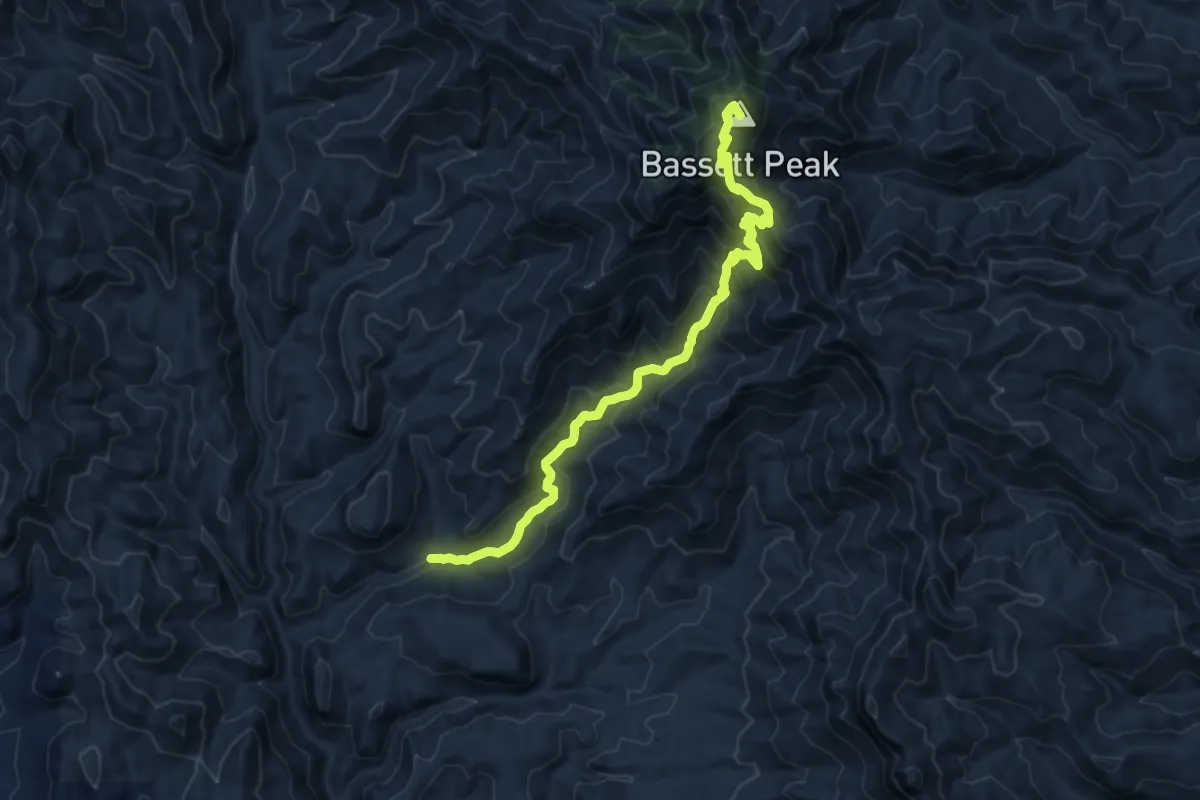
Demanding · Summit
Bassett Peak Trail #287C
14.9 km · ↑ 1067 m · 5 h 50 min
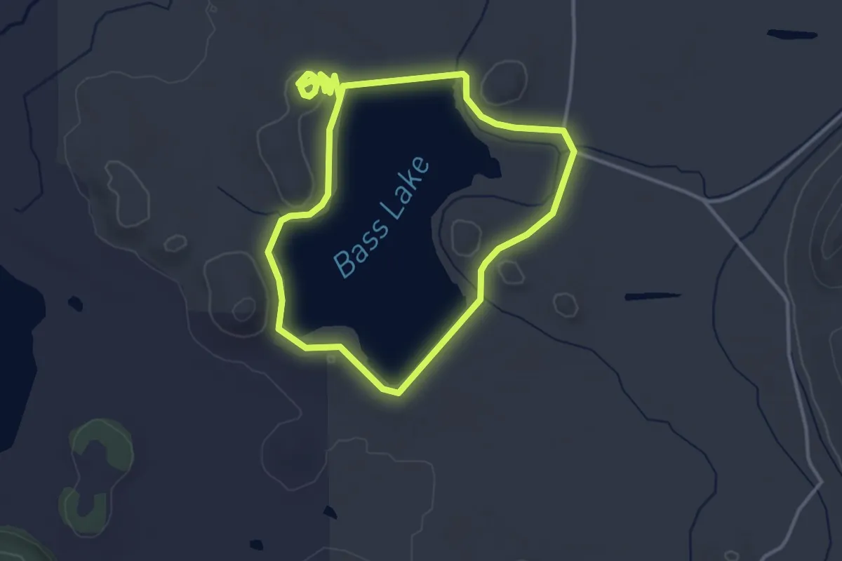
Easy · Trail
Bass Lake Loop
3.6 km · ↑ 31 m · 57 min
Easy · Trail
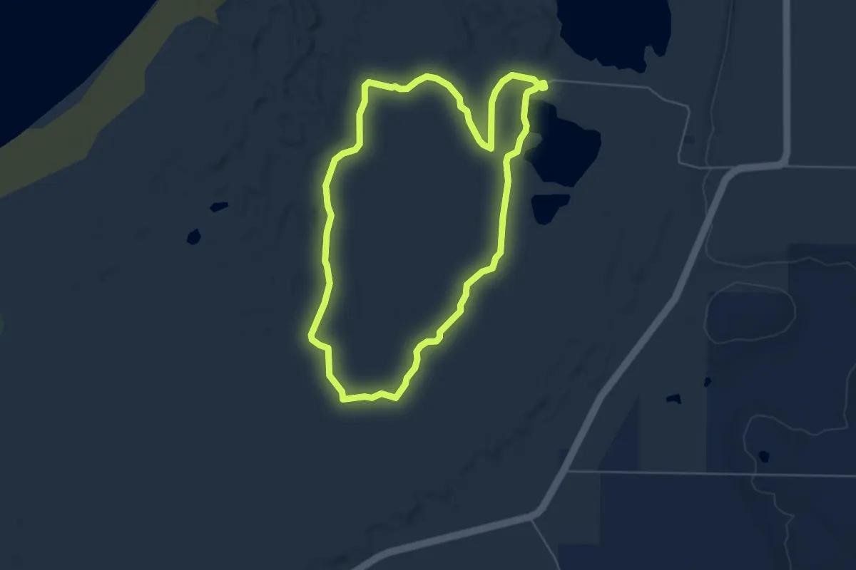
Bass Lake Loop (Platte Plains)
5.6 km · ↑ 13 m · 1 h 26 min
Easy · Trail
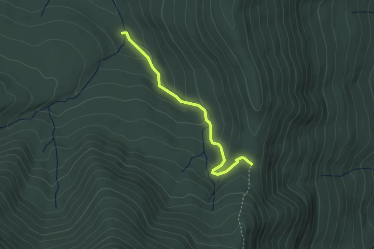
Batavia Kill Trail
3.1 km · ↑ 146 m · 1 h 3 min
Easy · Trail
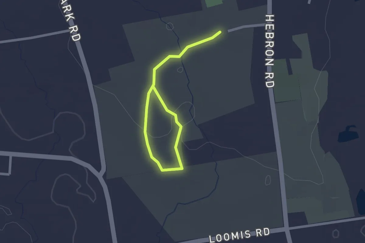
Bates Nature Trail
2.4 km · ↑ 40 m · 40 min
Easy · Trail
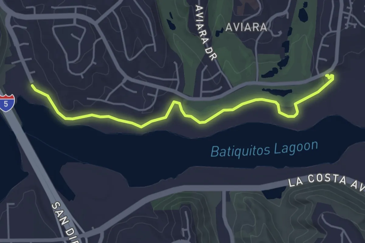
Batiquitos Lagoon Nature Trail
5.3 km · ↑ 8 m · 1 h 16 min
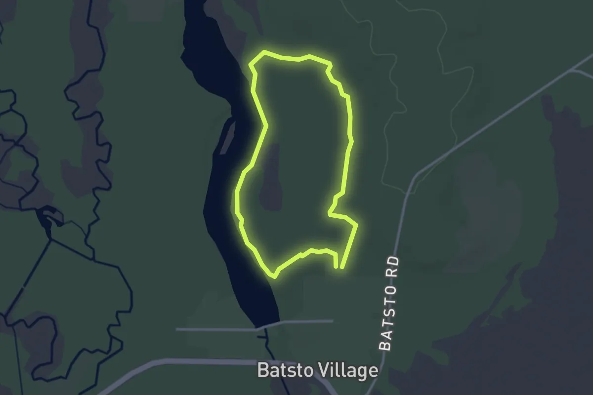
Easy · Trail
Batsto Blue Trail
2.8 km · ↑ 9 m · 43 min
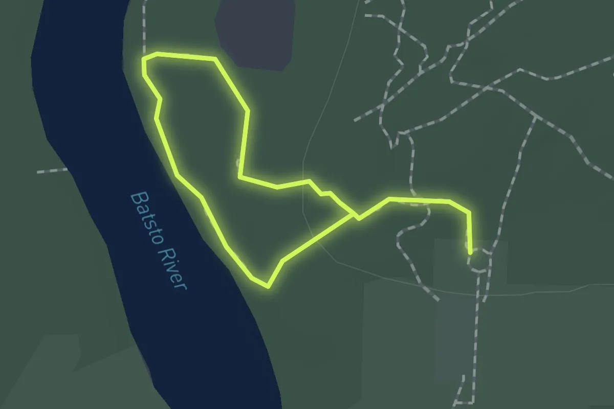
Easy · Trail
Batsto Red Trail
2.3 km · ↑ 9 m · 34 min
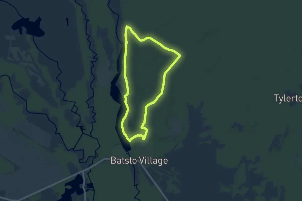
Easy · Trail
Batsto White Trail
6.3 km · ↑ 24 m · 1 h 38 min
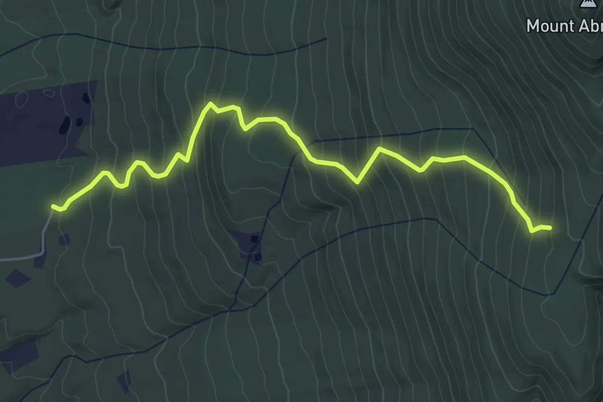
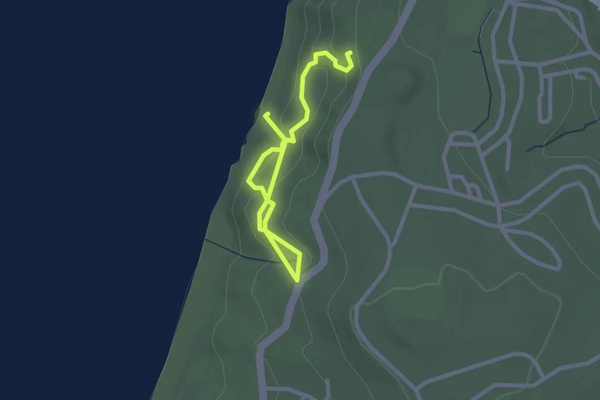
Medium · Trail
Battell Trail
5.8 km · ↑ 522 m · 2 h 30 min
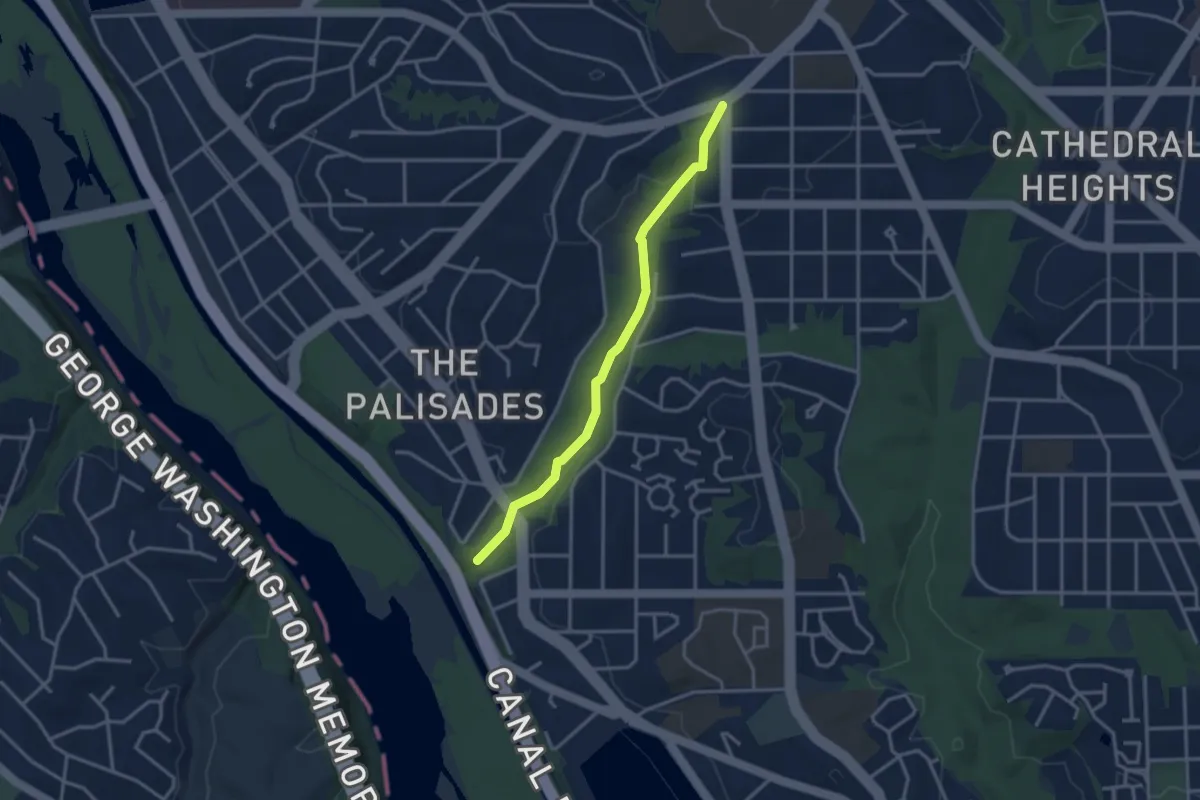
Easy · Trail
Batteries to Bluffs Trail
2.9 km · ↑ 169 m · 1 h 3 min
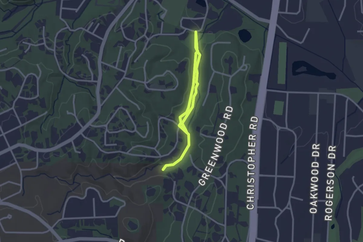
Easy · Trail
Battery Kemble Trail
3.5 km · ↑ 81 m · 1 h
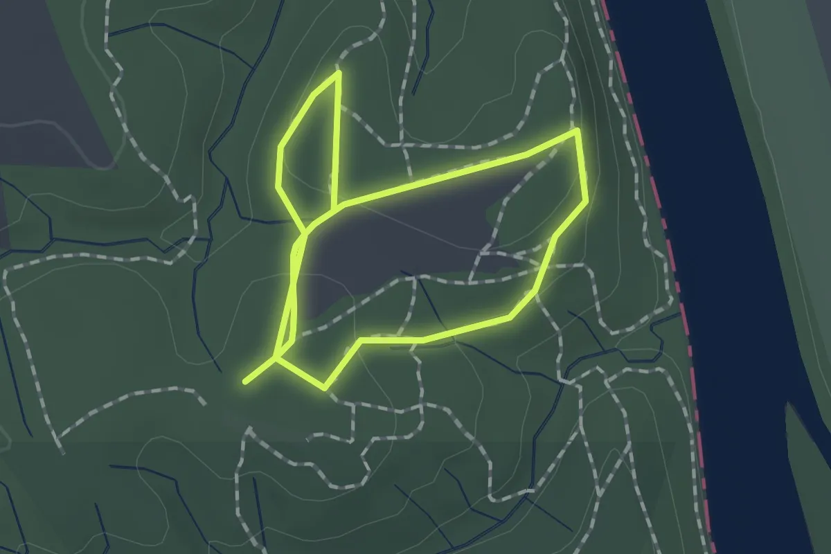
Easy · Trail
Battle Branch Trail
4.0 km · ↑ 14 m · 58 min
Easy · Trail
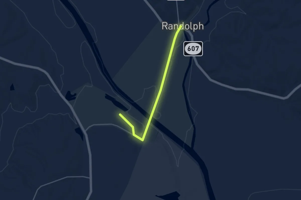
Battlefield Interpretive Trail
2.9 km · ↑ 45 m · 46 min
Easy · Trail
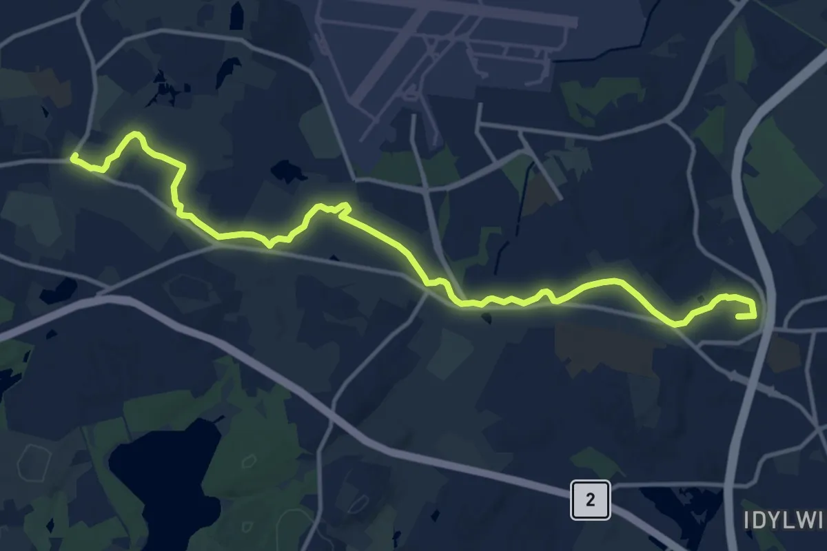
Battlefield Trail
3.8 km · ↑ 6 m · 55 min
Medium · Summit
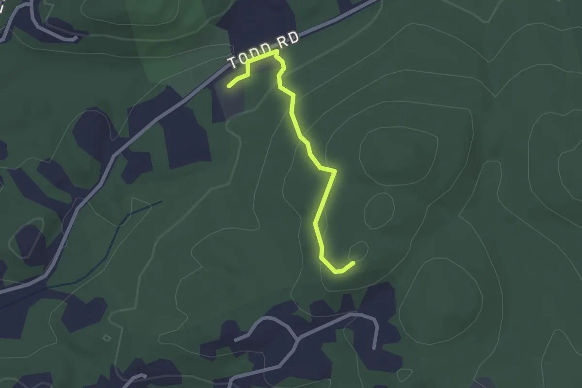
Battle Road Trail
15.2 km · ↑ 80 m · 3 h 46 min
Easy · Trail
Bauer Meadow Hill Trail
2.1 km · ↑ 111 m · 43 min
Demanding · Summit
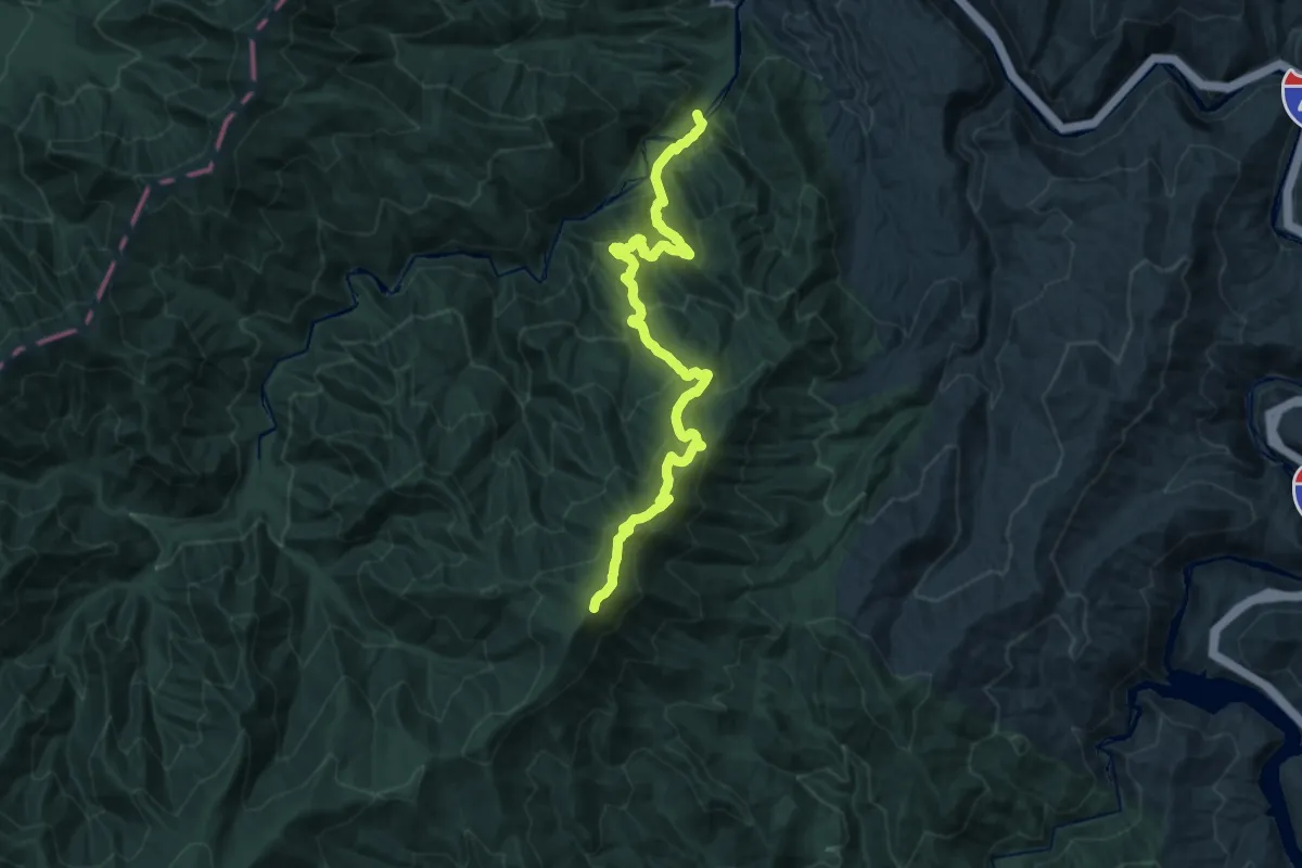
Baxter Creek Trail
19.3 km · ↑ 1346 m · 7 h 29 min
Easy · Trail
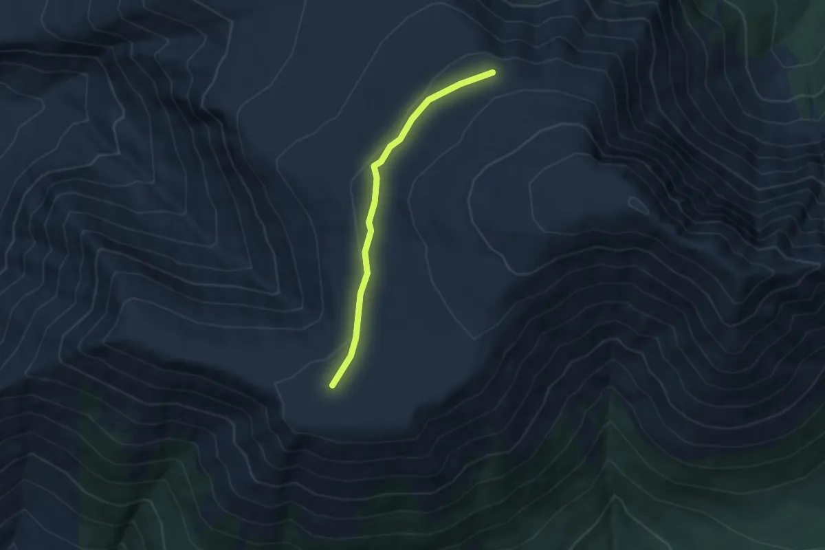
Baxter Peak Cutoff Trail
2.9 km · ↑ 54 m · 48 min
Medium · Trail
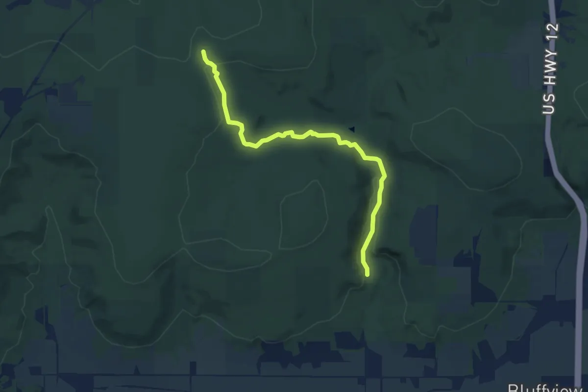
Baxter's Hollow
8.9 km · ↑ 152 m · 2 h 26 min
Medium · Trail
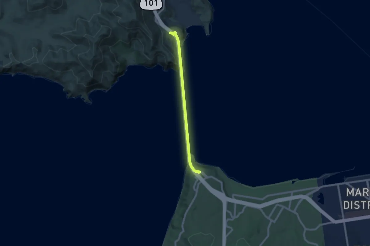
Bay Area Ridge Trail - Section 01 - Golden Gate Bridge
6.4 km · ↑ 416 m · 2 h 25 min
Easy · Trail
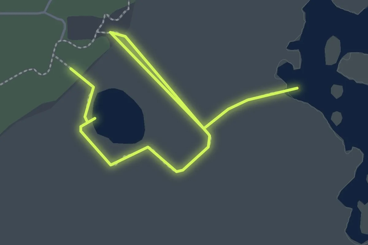
Bay Boardwalk
2.8 km · ↑ 0 m · 40 min