Trails in United States
10,332 hiking trails, each with its route, climb, walking time and grade.
All trails, page 9 of 216
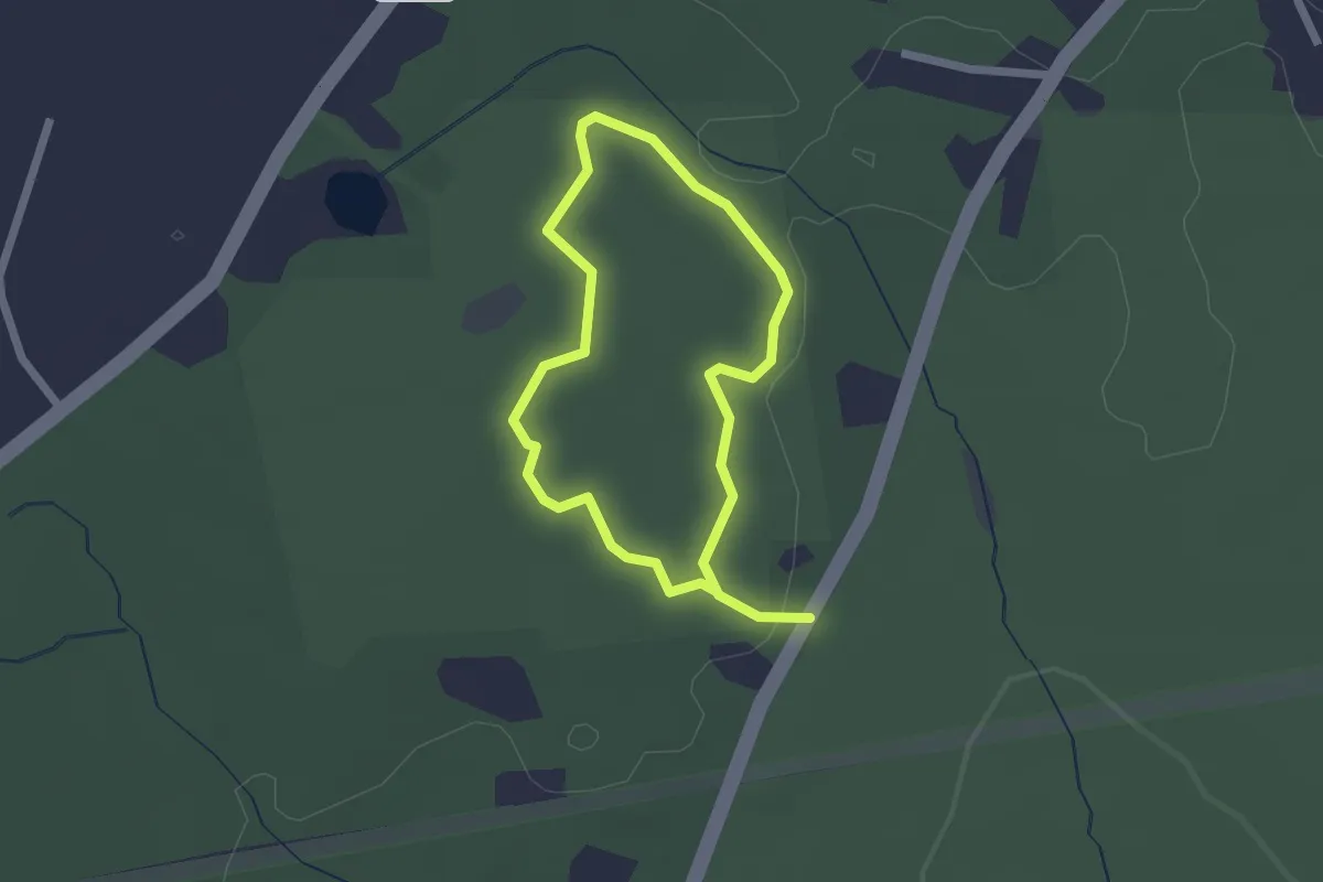
Easy · Trail
Balanced Boulder Trail
1.8 km · ↑ 32 m · 30 min
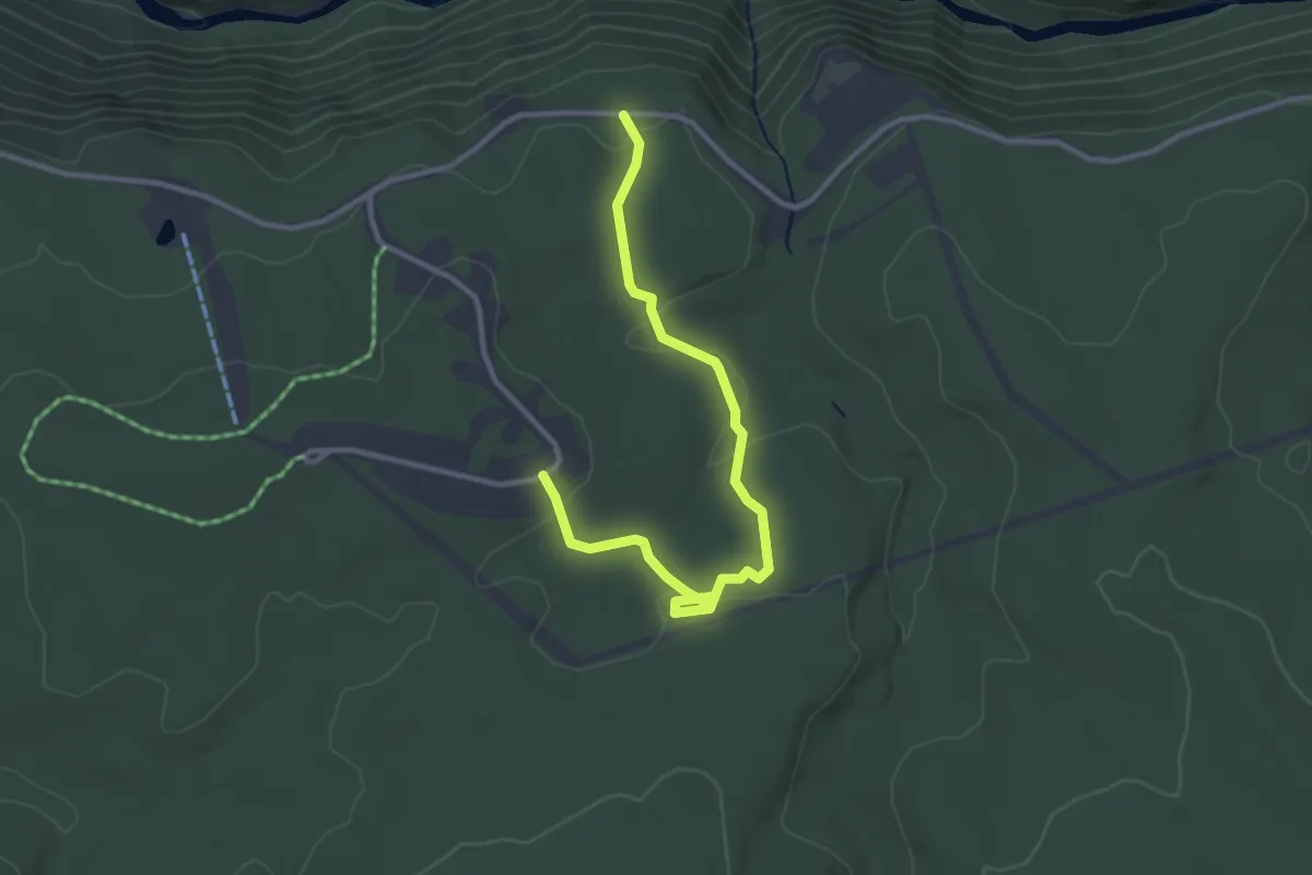
Easy · Trail
Balanced Rock Trail
3.8 km · ↑ 91 m · 1 h 6 min
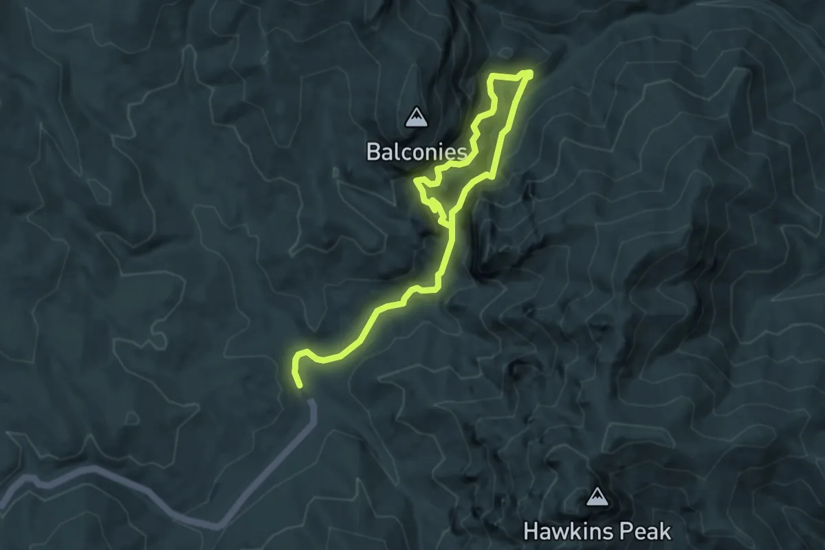
Medium · Trail
Balconies Trail
6.0 km · ↑ 449 m · 2 h 24 min
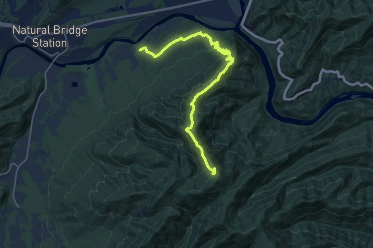
Medium · Trail
Balcony Falls Trail
16.9 km · ↑ 676 m · 5 h 28 min
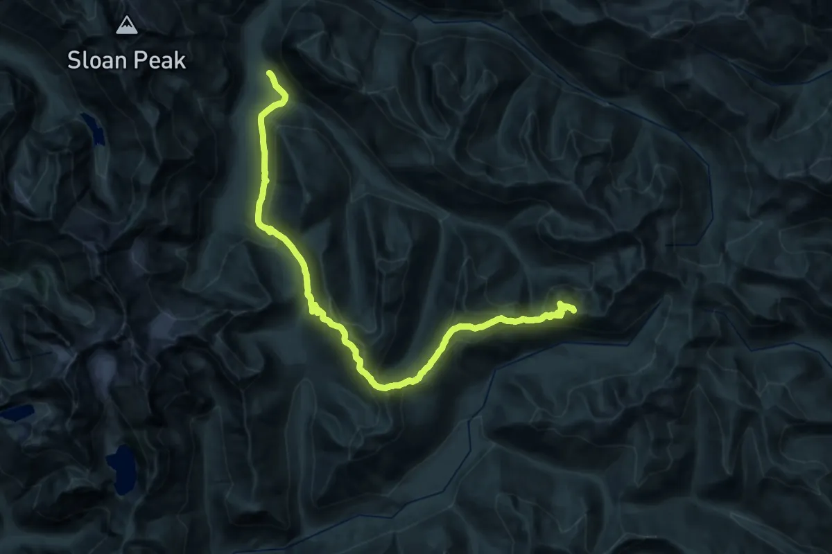
Demanding · Summit
Bald Eagle (Curry Gap) Trail
34.5 km · ↑ 1723 m · 11 h 53 min
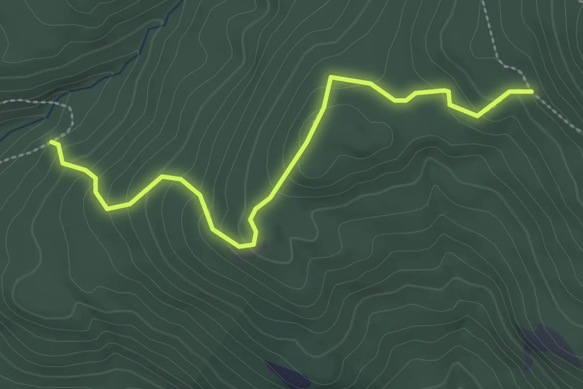
Medium · Trail
Bald Knob Cut-Off
3.0 km · ↑ 211 m · 1 h 10 min
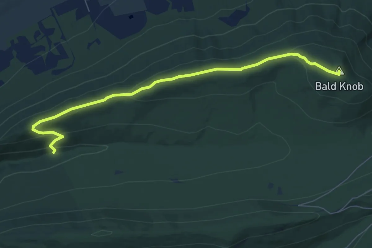
Easy · Summit
Bald Knob Ridge Trail
7.6 km · ↑ 262 m · 2 h 22 min
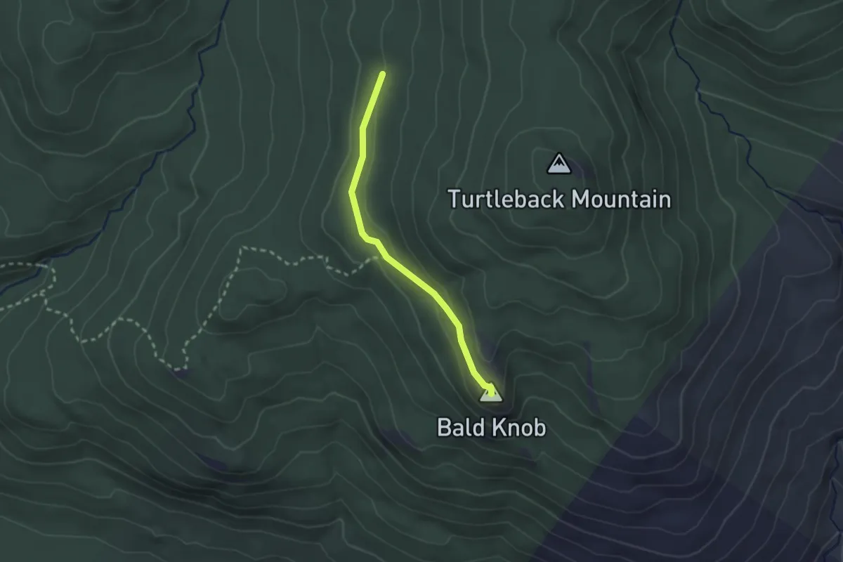
Easy · Summit
Bald Knob Trail
2.2 km · ↑ 57 m · 39 min
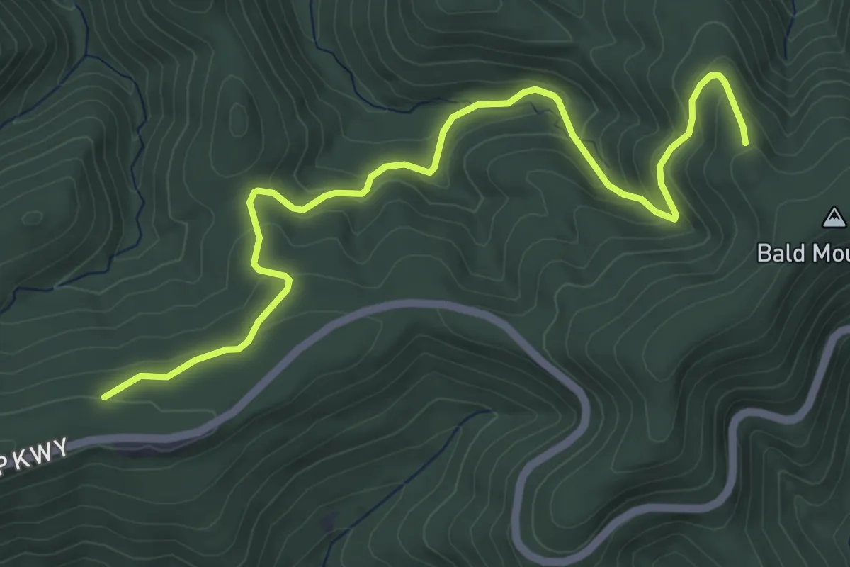
Medium · Trail
Bald Mountain Overlook Trail
6.7 km · ↑ 327 m · 2 h 18 min
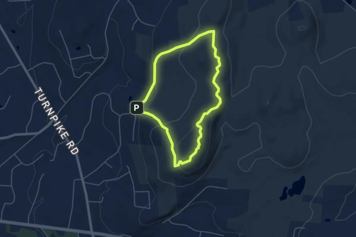
Easy · Summit
Bald Mountain Red Trail
4.2 km · ↑ 165 m · 1 h 24 min
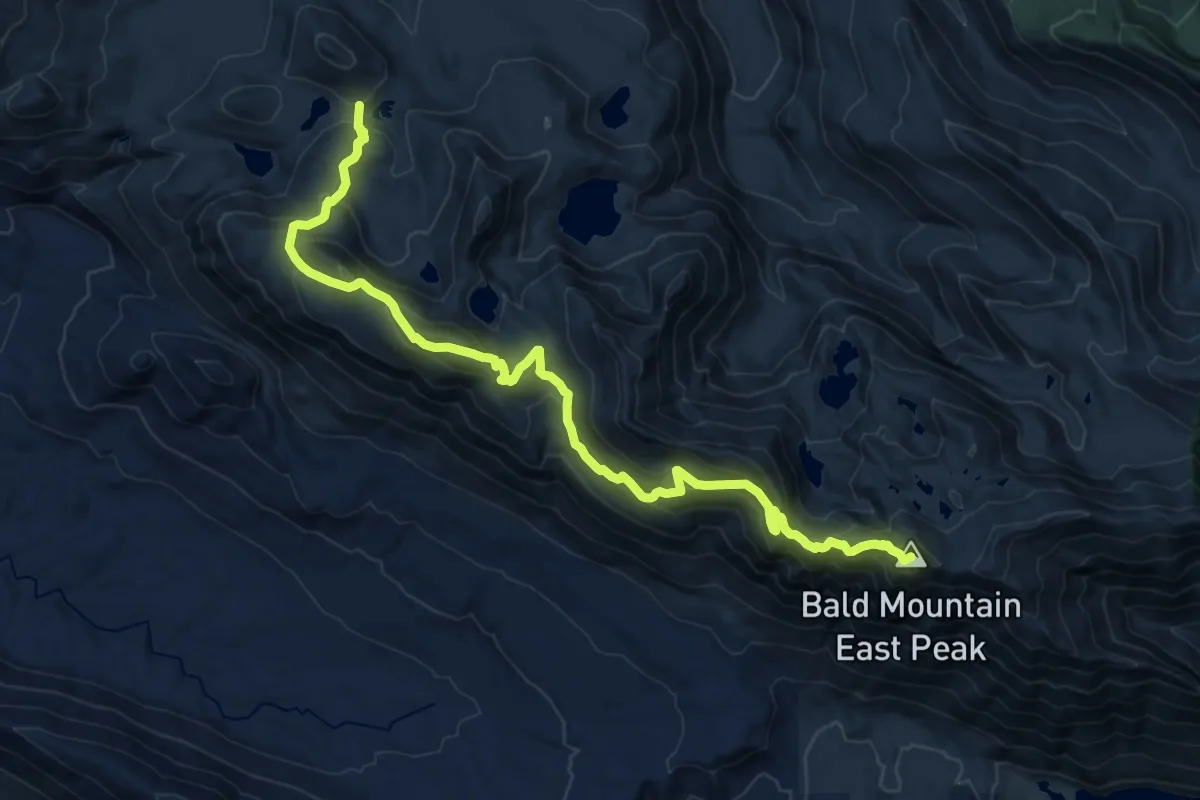
Demanding · Summit
Bald Mountain Ridge Trail
18.4 km · ↑ 1258 m · 7 h 4 min
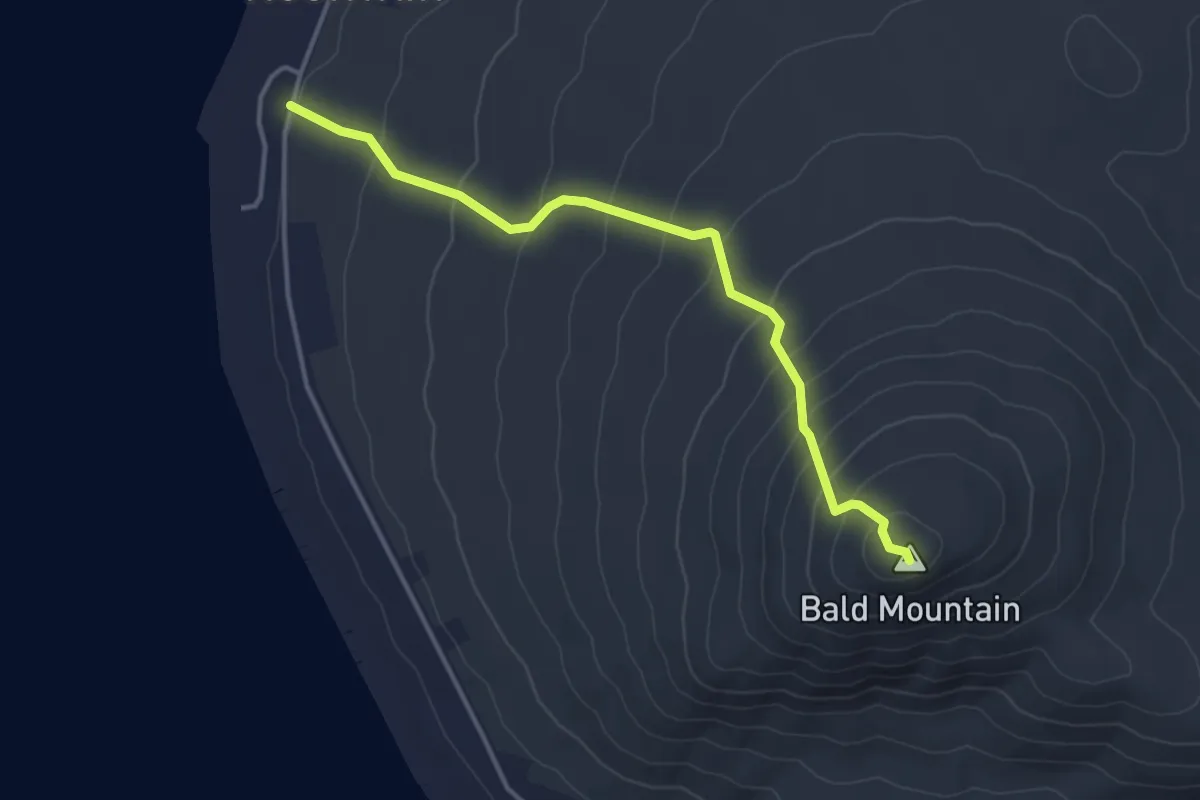
Easy · Summit
Bald Mountain Trail
3.9 km · ↑ 294 m · 1 h 33 min
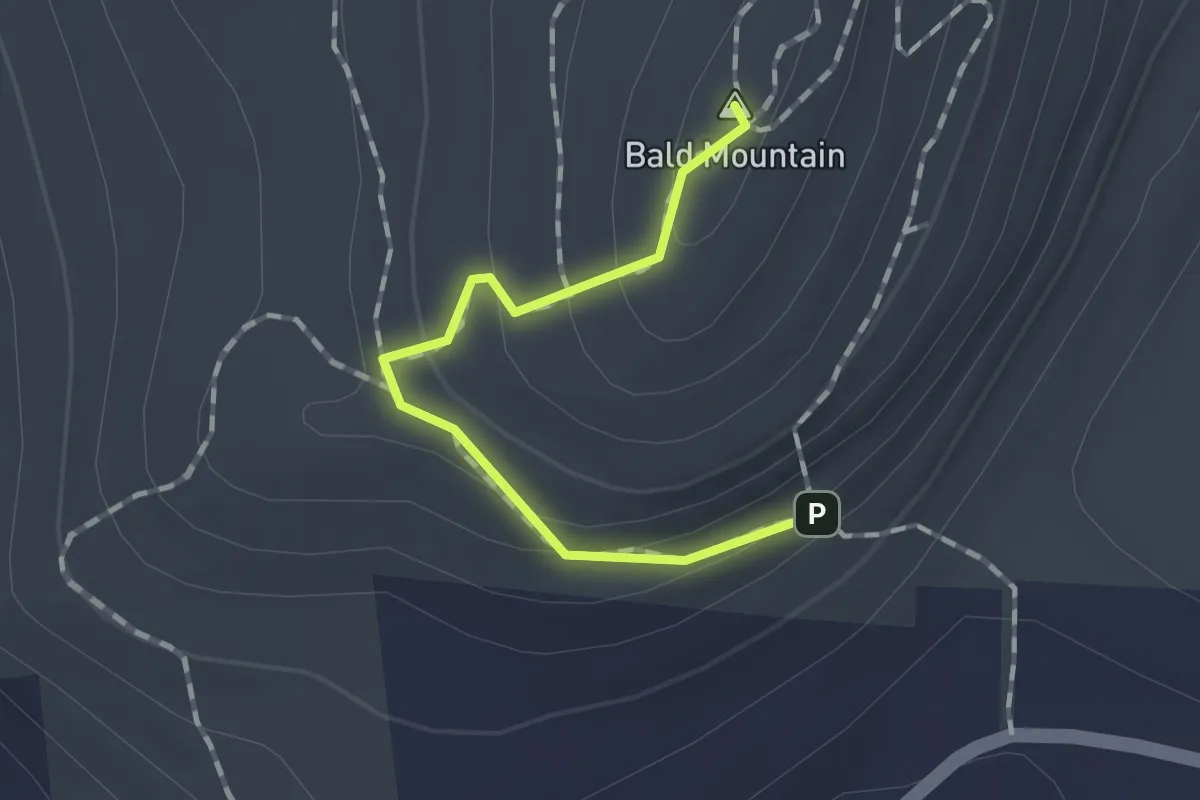
Easy · Summit
Bald Mountain White Trail
1.3 km · ↑ 74 m · 28 min
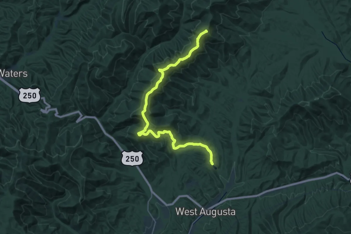
Demanding · Summit
Bald Ridge Trail
23.6 km · ↑ 928 m · 7 h 34 min
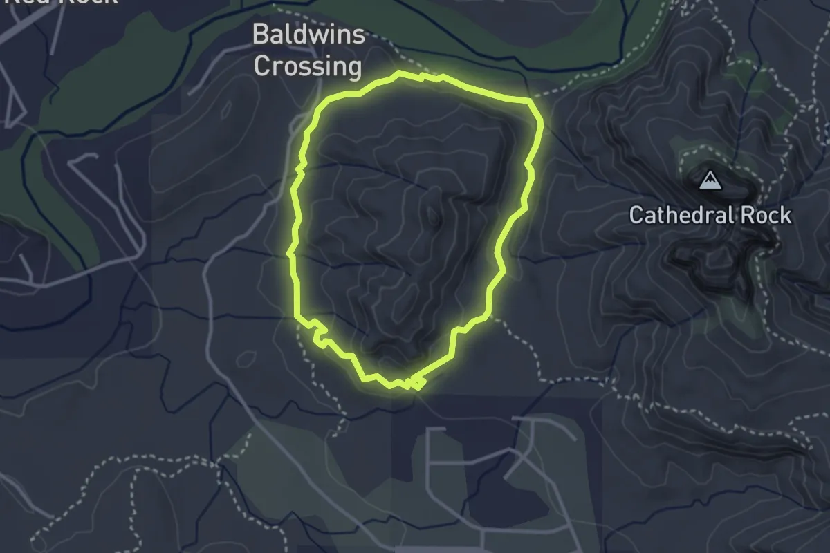
Easy · Trail
Baldwin #191
3.3 km · ↑ 69 m · 58 min
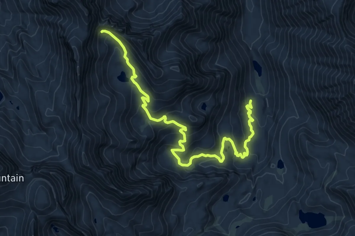
Medium · Trail
Baldwin Canyon Trail
13.8 km · ↑ 677 m · 4 h 43 min
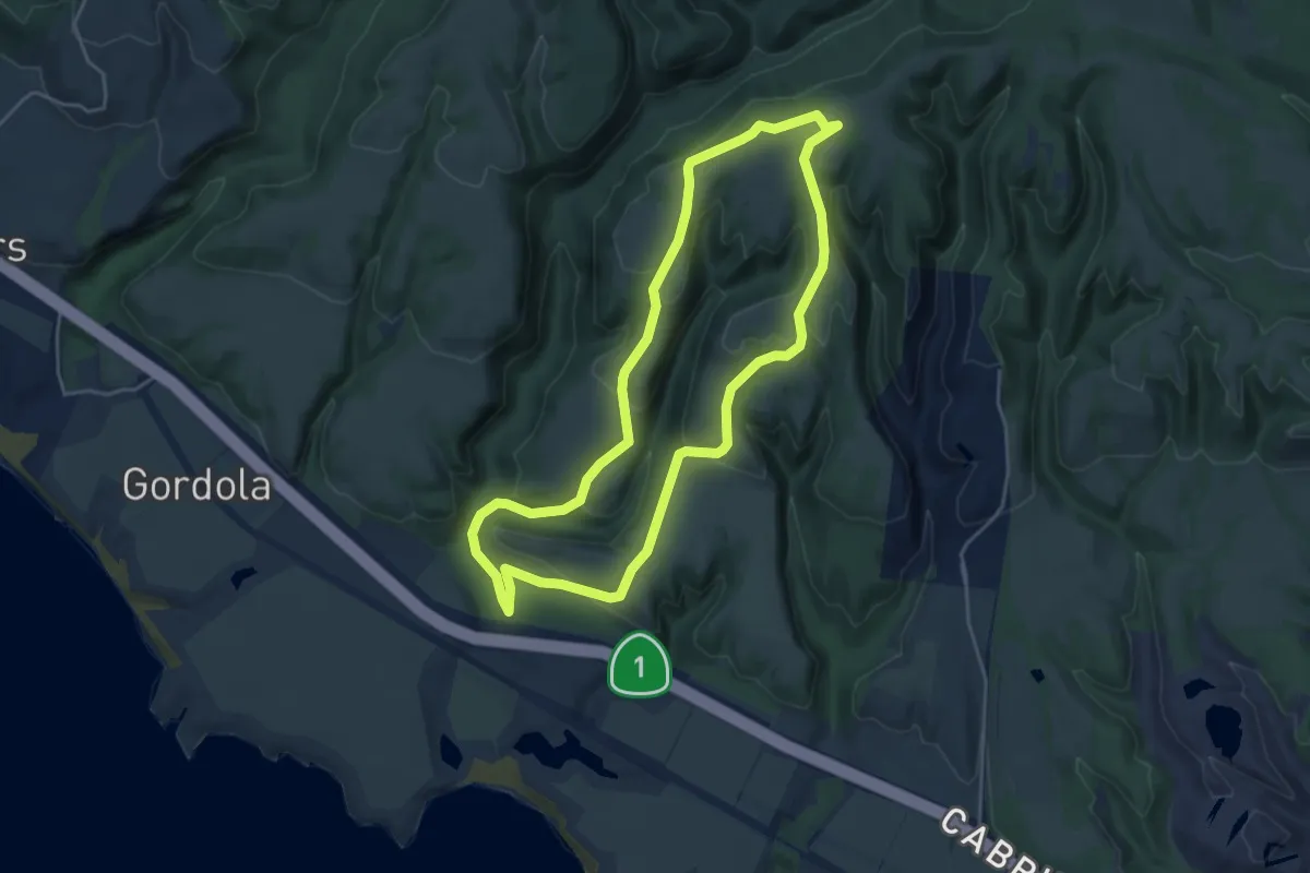
Easy · Trail
Baldwin Loop
5.1 km · ↑ 182 m · 1 h 40 min
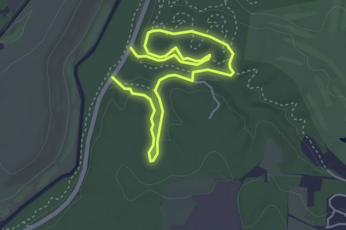
Easy · Trail
Ballentine and Glades Route
5.8 km · ↑ 142 m · 1 h 41 min
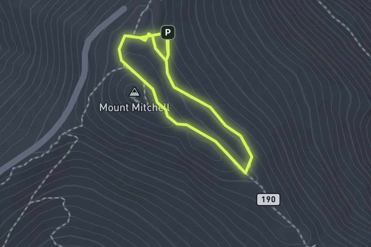
Medium · Summit
Balsam Nature Trail
1.4 km · ↑ 59 m · 28 min
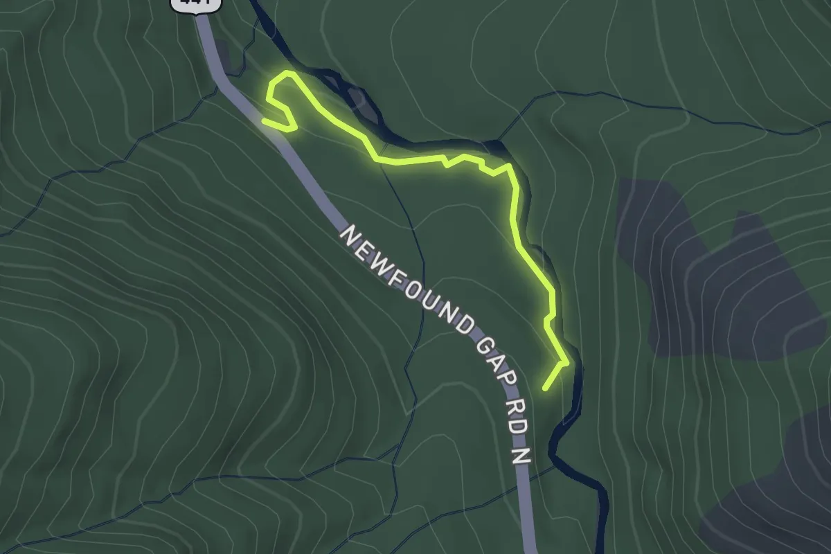
Easy · Trail
Balsam Point Quiet Walkway
2.7 km · ↑ 110 m · 53 min
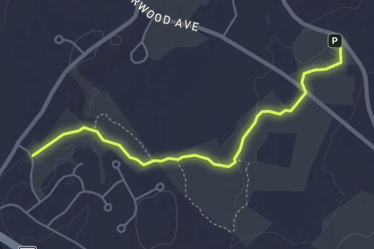
Easy · Trail
Balsam Trail
4.3 km · ↑ 34 m · 1 h 5 min
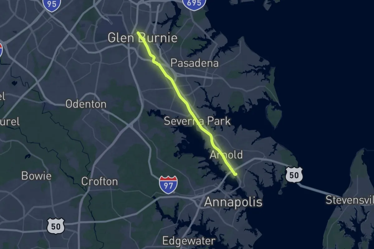
Demanding · Trail
Baltimore & Annapolis Trail
22.4 km · ↑ 141 m · 5 h 54 min
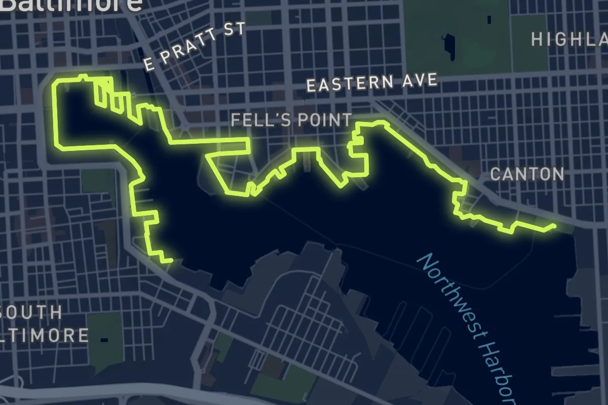
Demanding · Trail
Baltimore Waterfront Promenade
19.8 km · ↑ 0 m · 4 h 40 min
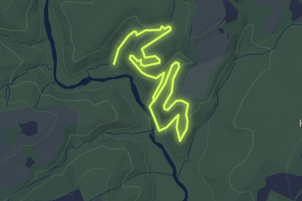
Easy · Trail
Bambi's Mom
5.0 km · ↑ 135 m · 1 h 29 min
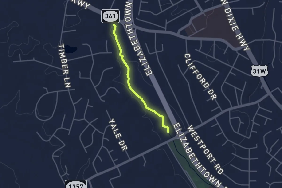
Easy · Trail
Banam Shaw Trail
2.8 km · ↑ 4 m · 41 min
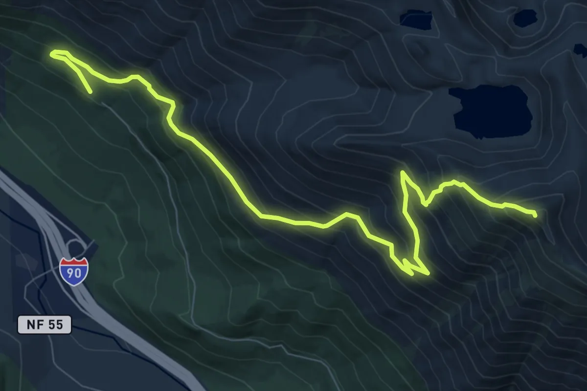
Demanding · Summit
Bandera Mountain Trail
10.4 km · ↑ 976 m · 4 h 34 min
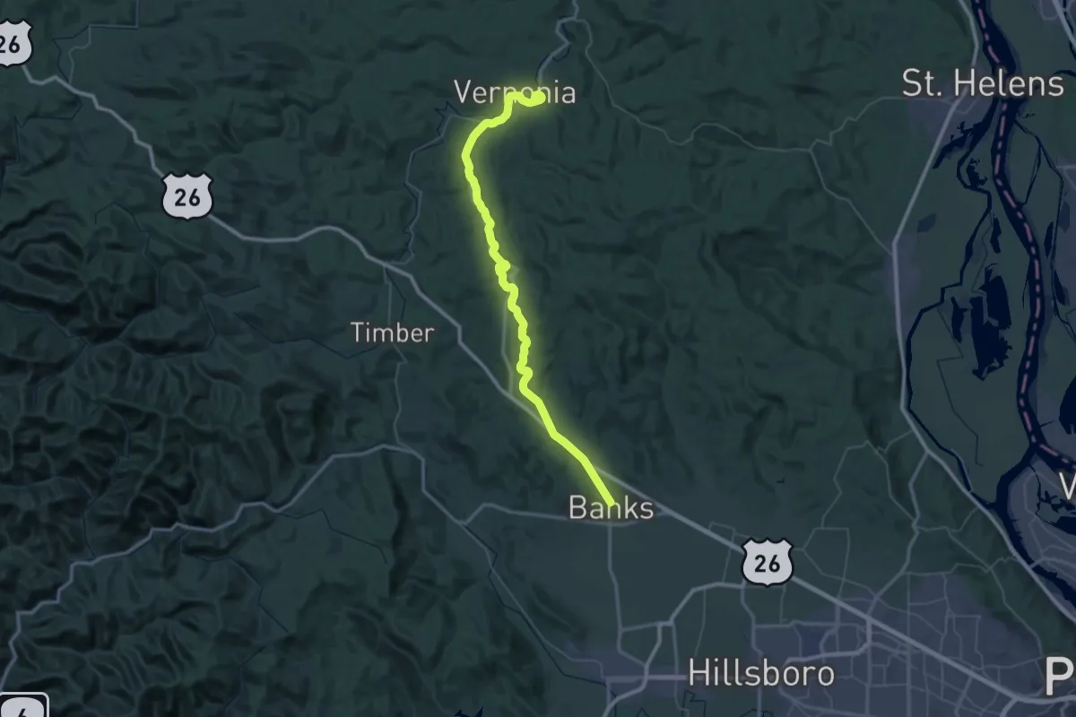
Demanding · Trail
Banks-Vernonia Trail
36.3 km · ↑ 373 m · 9 h 50 min
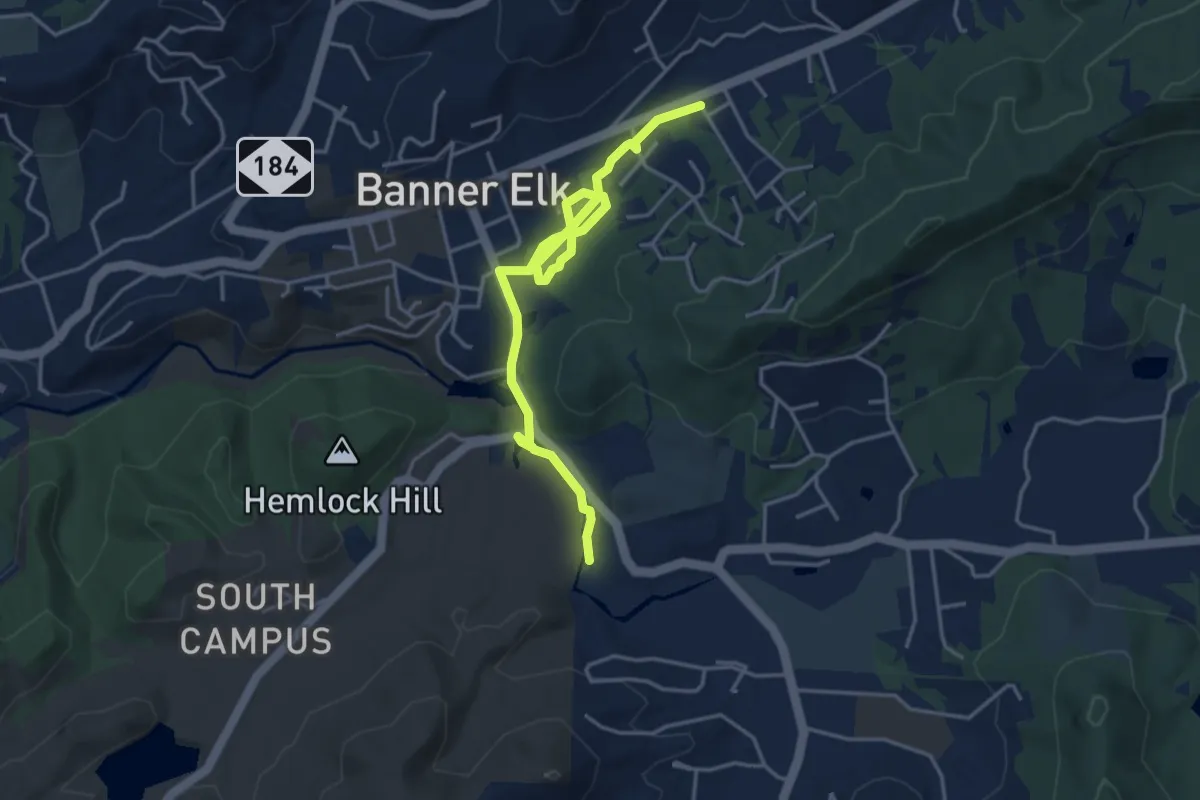
Easy · Trail
Banner Elk Greenway
5.6 km · ↑ 23 m · 1 h 23 min
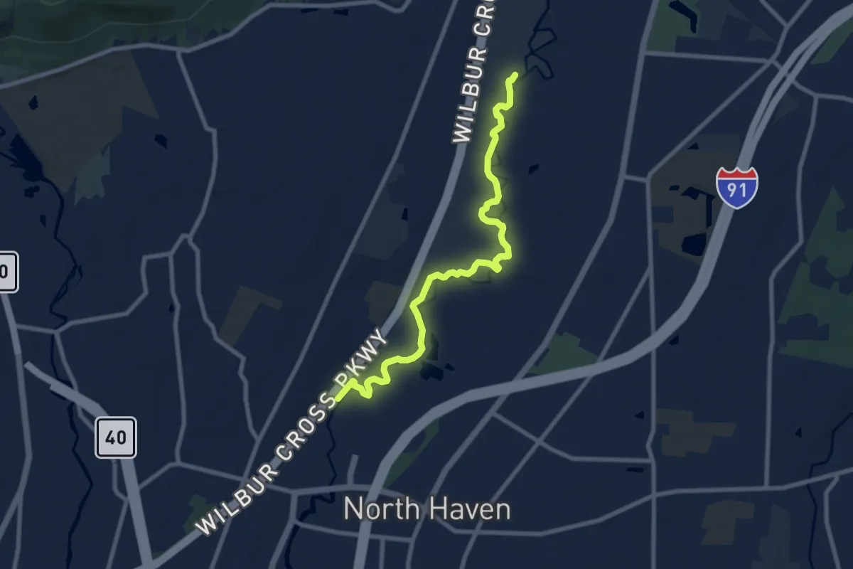
Medium · Trail
Banton Quinnipiac Trail
8.8 km · ↑ 9 m · 2 h 6 min
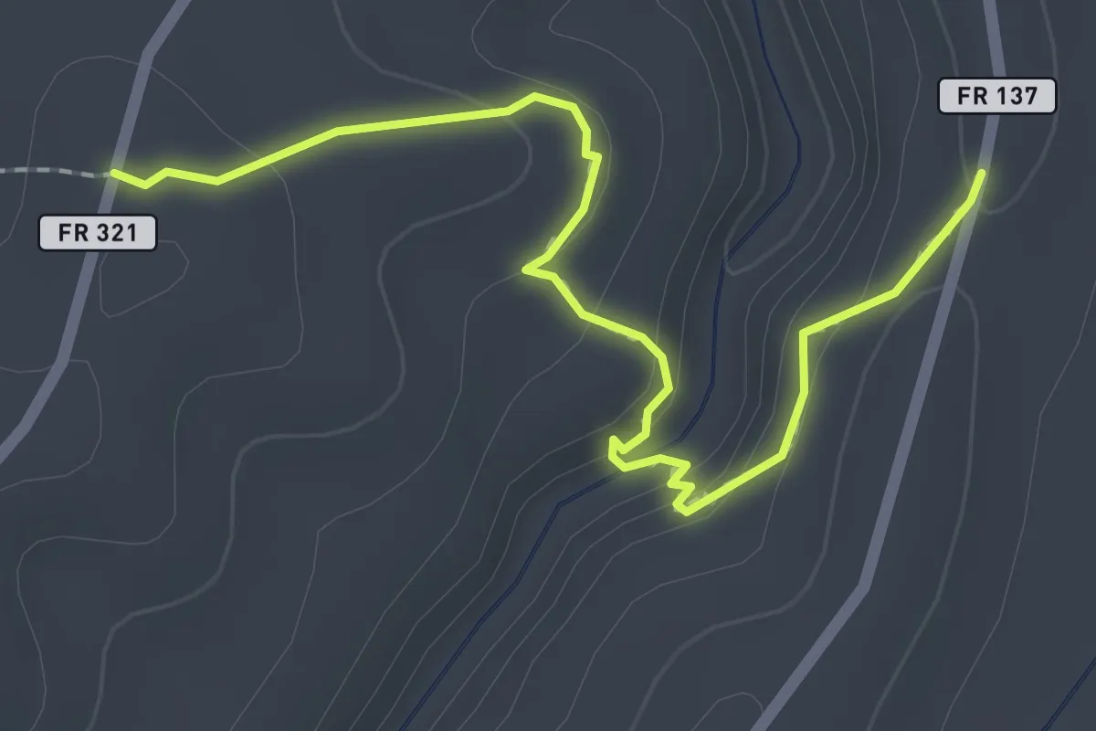
Easy · Trail
Barbershop Trail
2.7 km · ↑ 108 m · 53 min
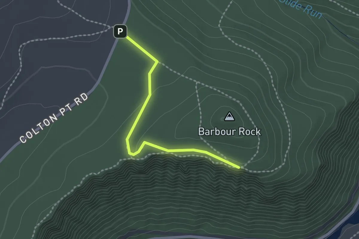
Easy · Trail
Barbour Rock Trail - Handicap Accessible
2.0 km · ↑ 30 m · 33 min
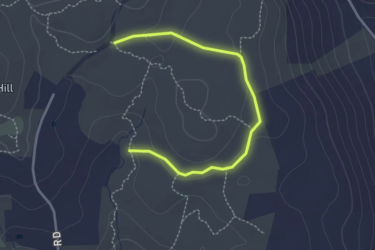
Easy · Trail
Barbour Woods Trail
2.7 km · ↑ 51 m · 46 min
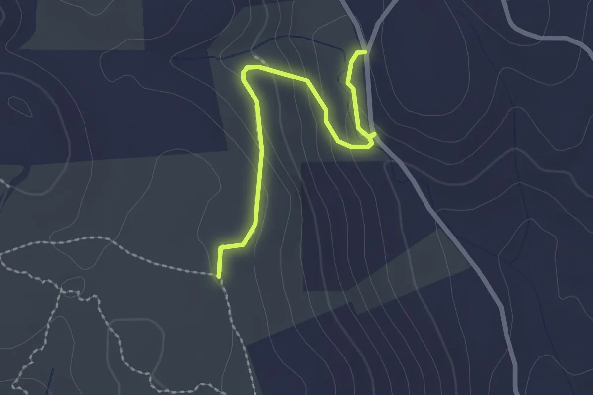
Easy · Trail
Barbour Woods Trail Spur
2.2 km · ↑ 85 m · 43 min
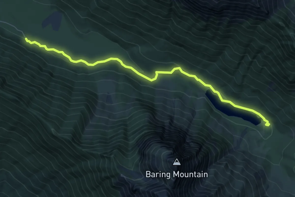
Easy · Trail
Barclay Lake Trail
6.9 km · ↑ 149 m · 1 h 57 min
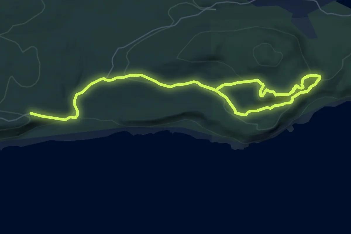
Medium · Trail
Bare Bluff Trail
7.9 km · ↑ 411 m · 2 h 52 min
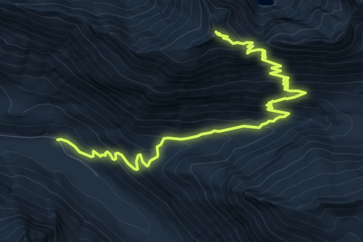
Demanding · Summit
Bare Mountain Trail
13.0 km · ↑ 1008 m · 5 h 15 min
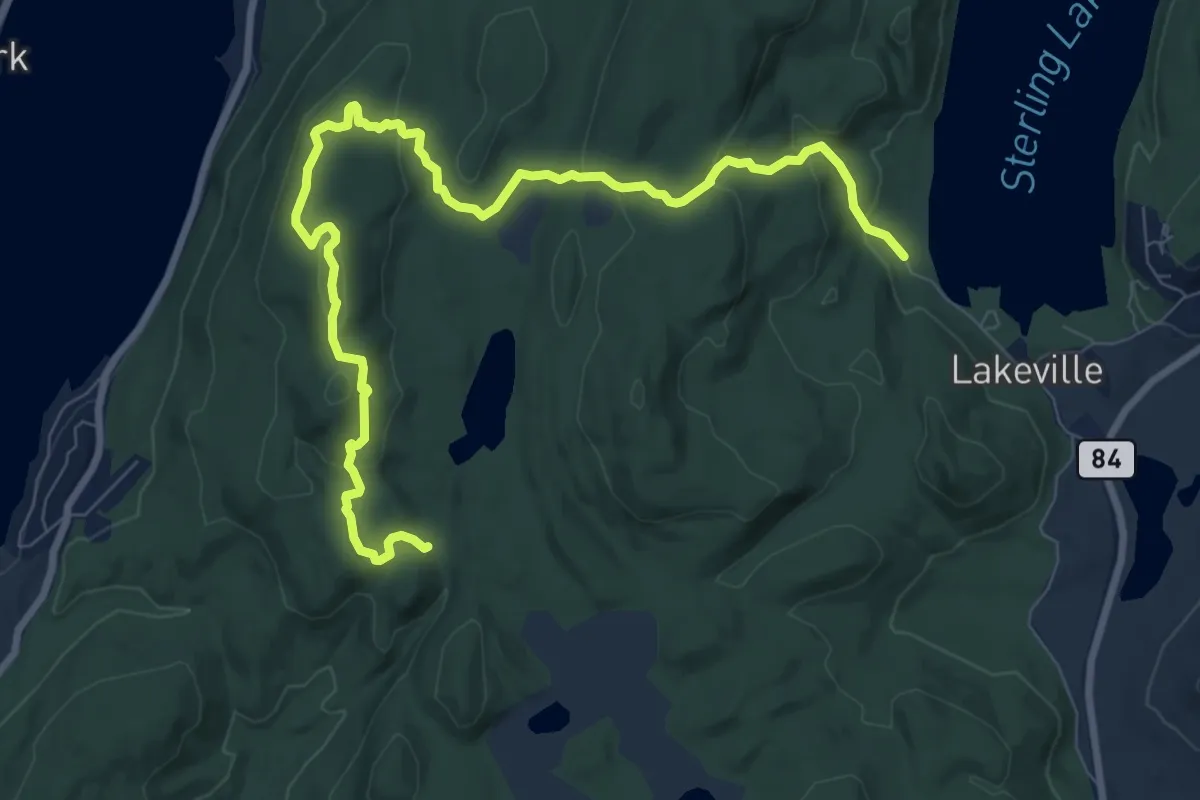
Medium · Trail
Bare Rock Trail
11.5 km · ↑ 387 m · 3 h 33 min
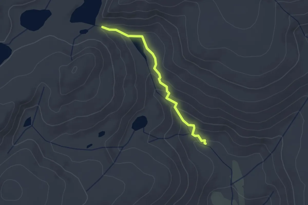
Easy · Trail
Barigan Stringer Trail
2.8 km · ↑ 118 m · 56 min
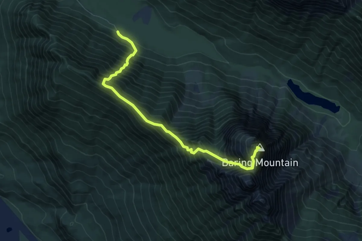
Demanding · Summit
Baring Mountain Trail
7.2 km · ↑ 1364 m · 4 h 40 min
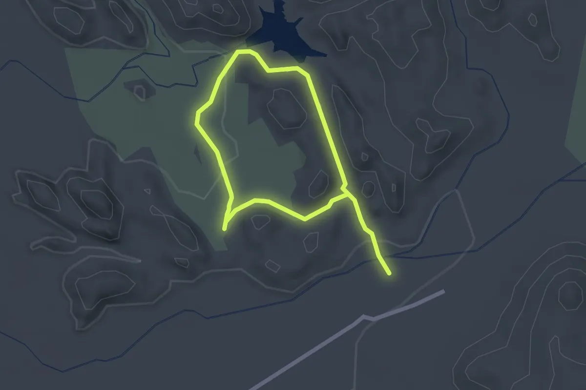
Easy · Trail
Barker Dam Loop
3.6 km · ↑ 28 m · 55 min
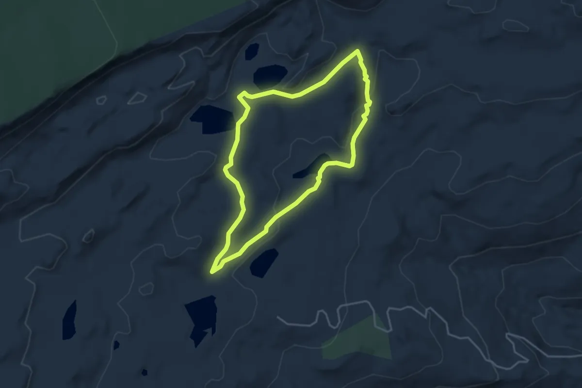
Easy · Trail
Barker Lakes Loop
3.9 km · ↑ 87 m · 1 h 10 min
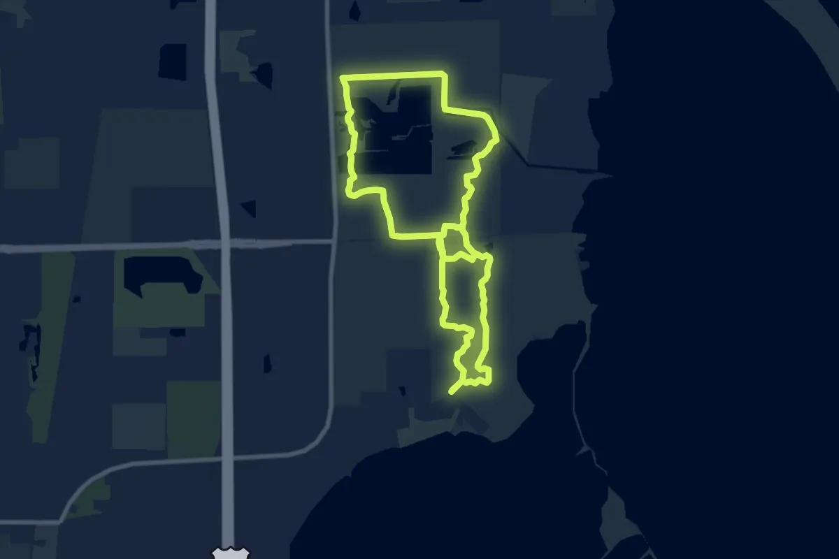
Medium · Trail
Barkhausen County Park
16.1 km · ↑ 0 m · 3 h 48 min
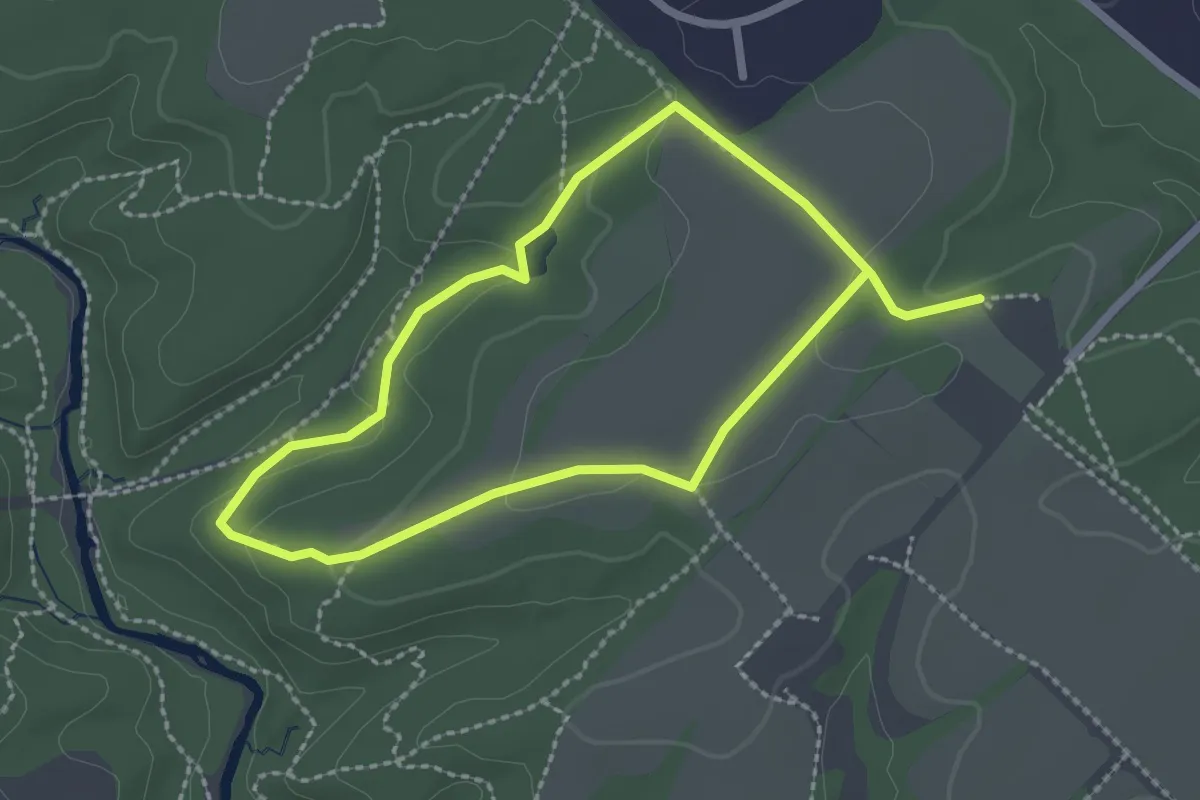
Easy · Trail
Barley Pond Loop
2.3 km · ↑ 42 m · 39 min
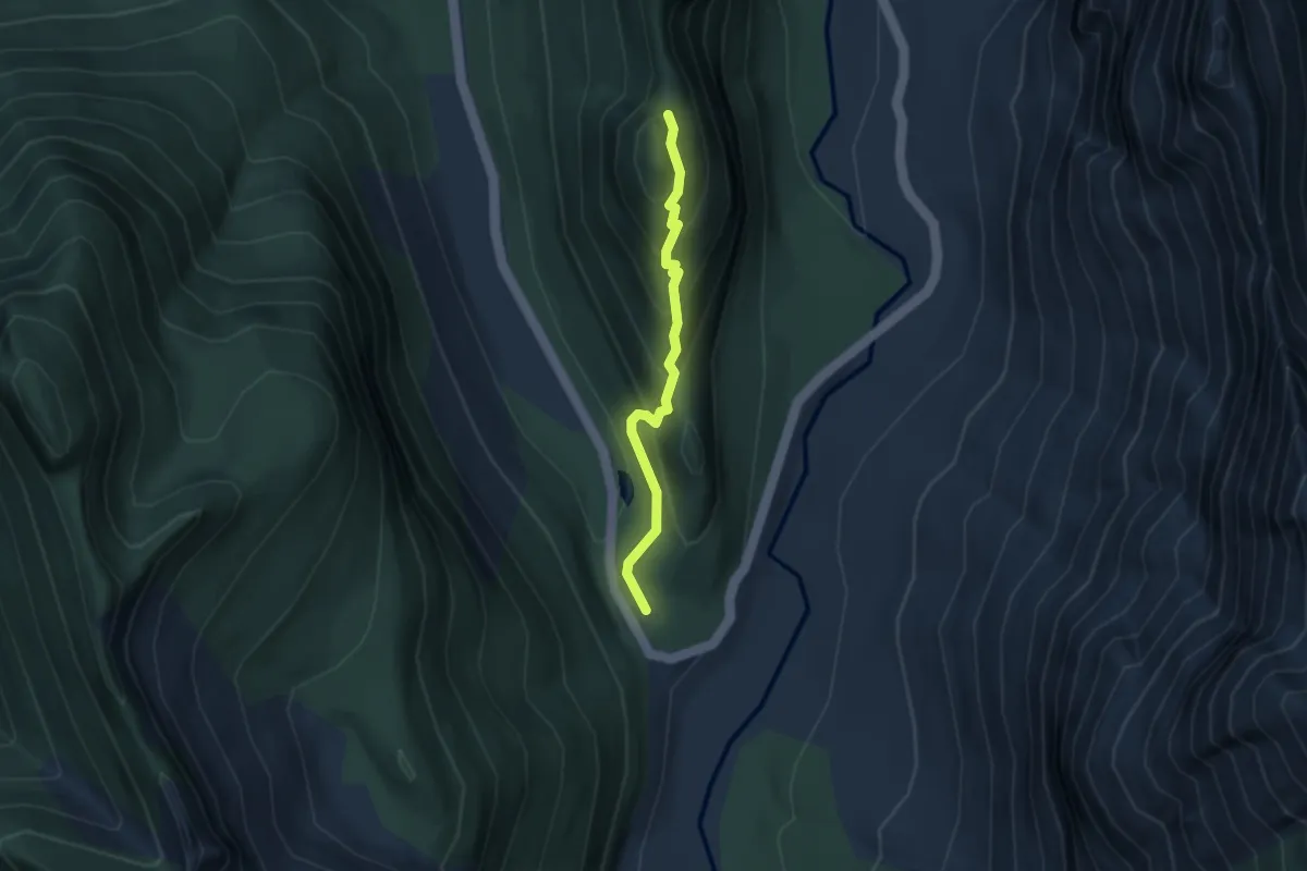
Easy · Summit
Barlow Point Trail
2.8 km · ↑ 291 m · 1 h 18 min
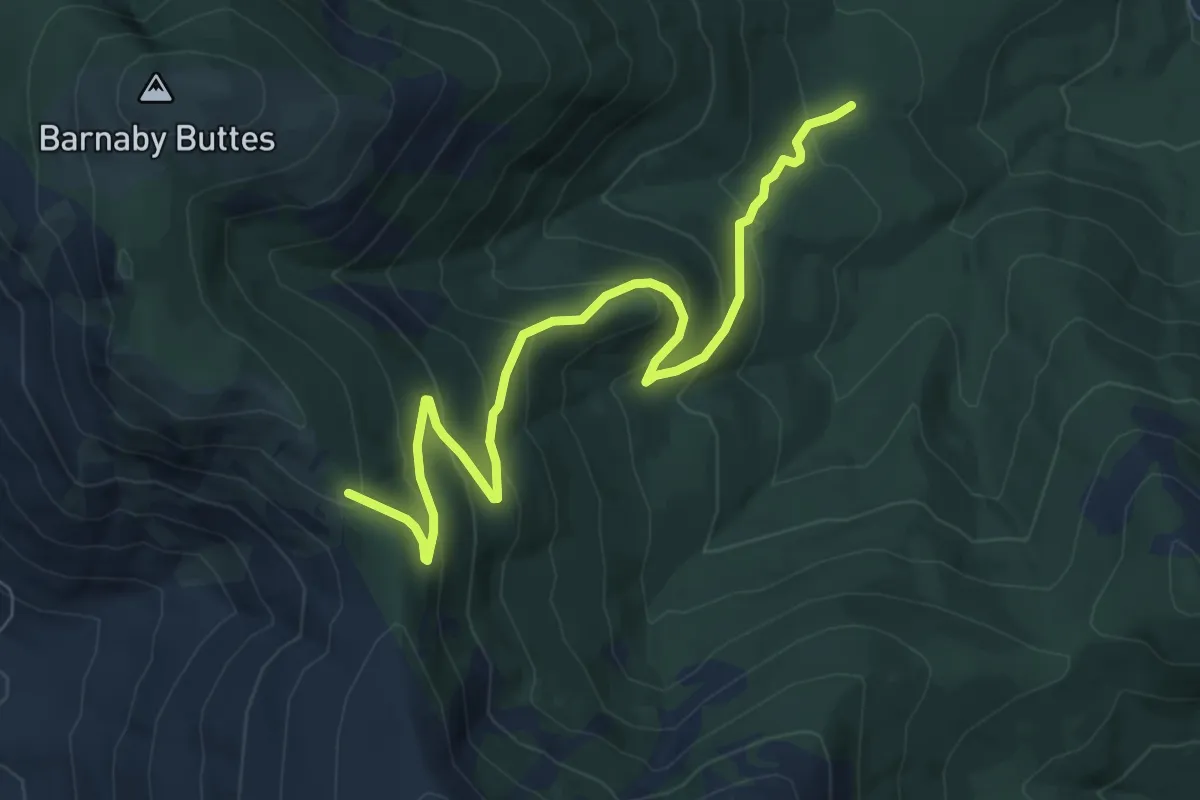
Medium · Trail
Barnaby Buttes
7.8 km · ↑ 472 m · 2 h 52 min
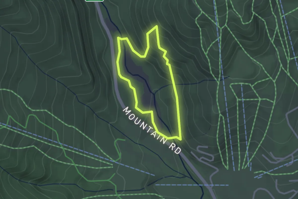
Easy · Trail
Barnes Camp Loop
2.1 km · ↑ 117 m · 47 min
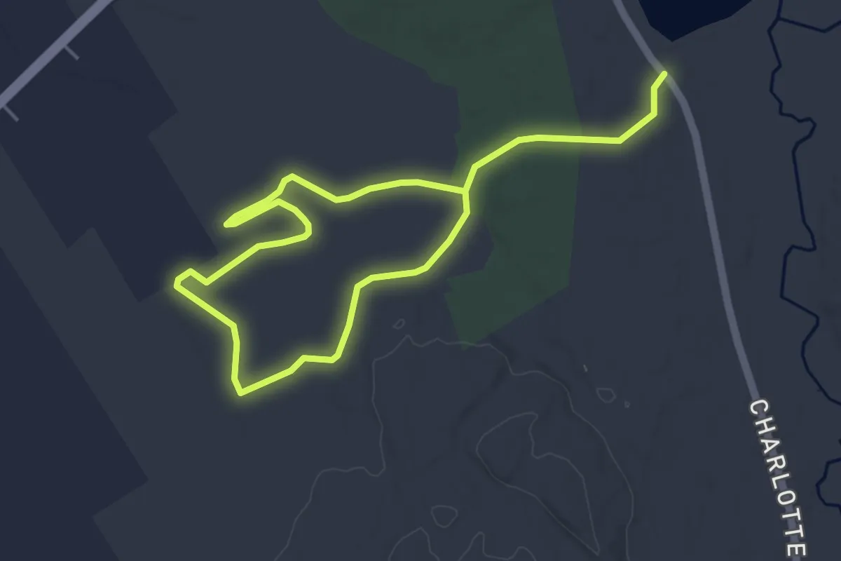
Easy · Trail
Barn Meadow Loop
7.4 km · ↑ 29 m · 1 h 48 min
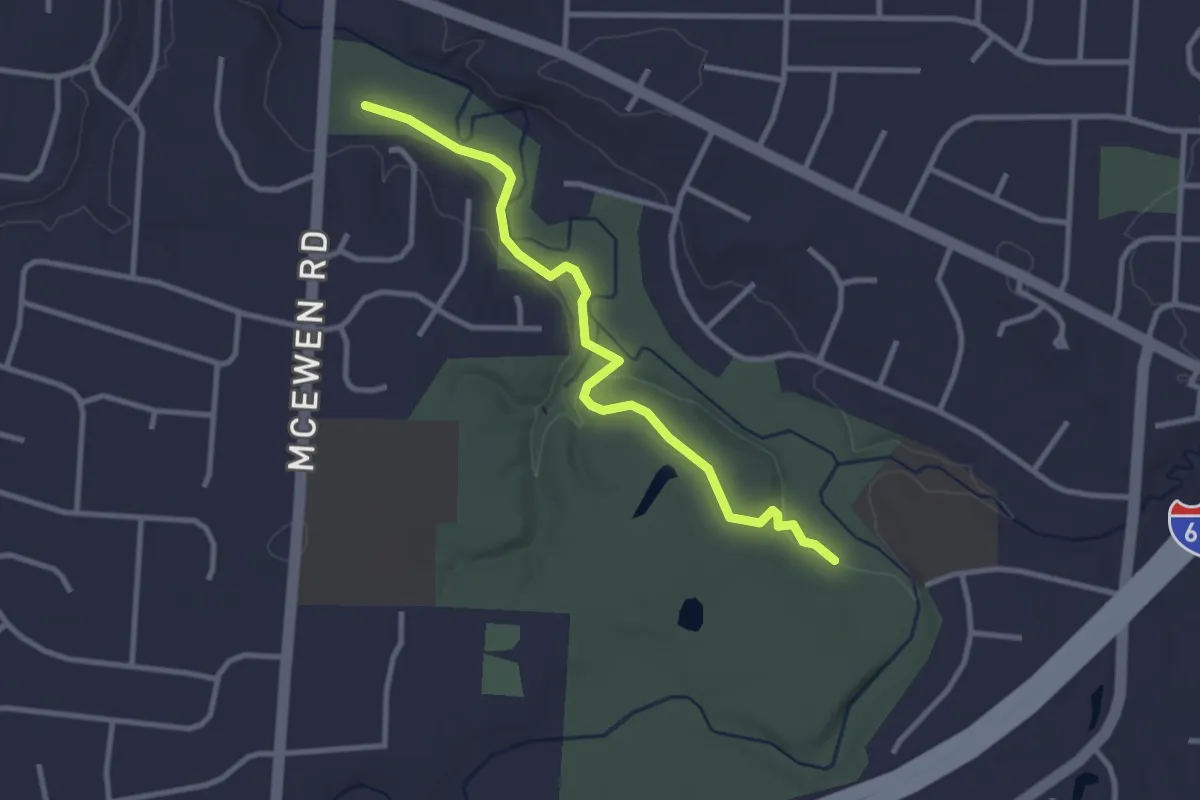
Easy · Trail
Barn Trail
3.4 km · ↑ 47 m · 54 min