Trails in United States
10,367 hiking trails, each with its route, climb, walking time and grade.
All trails, page 138 of 216
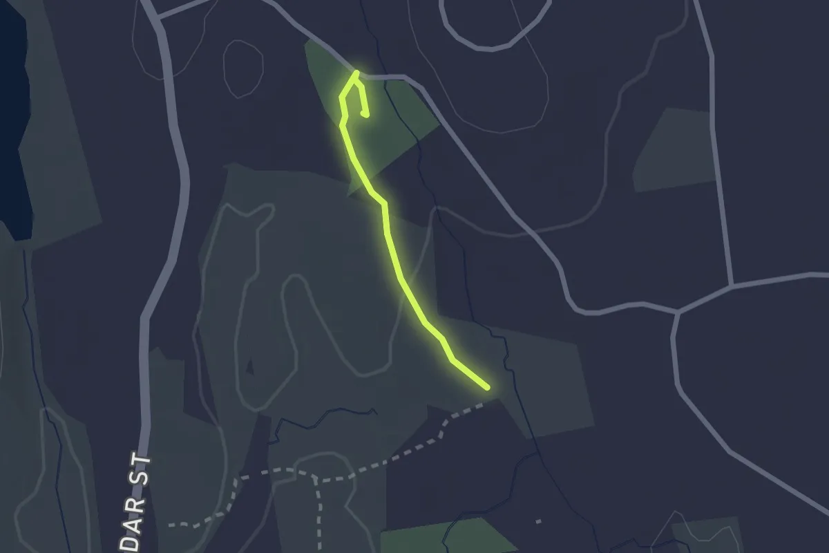
Easy · Summit
Orange Trail - College Rock Park
1.7 km · ↑ 31 m · 28 min
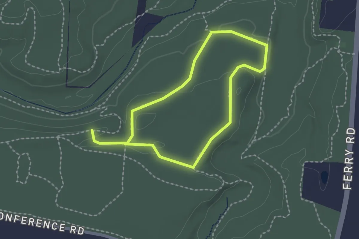
Easy · Trail
Orange Trial
1.7 km · ↑ 19 m · 28 min
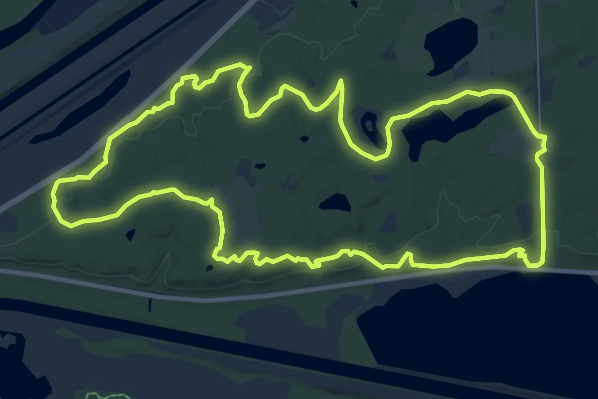
Medium · Trail
Orange Unpaved Loop
9.2 km · ↑ 112 m · 2 h 32 min
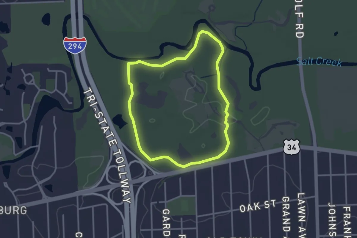
Easy · Trail
Orange Unpaved Trail
2.8 km · ↑ 8 m · 43 min
Easy · Trail
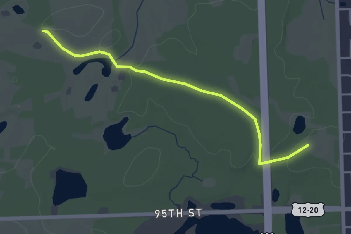
Orange Unpaved Trail
3.7 km · ↑ 27 m · 56 min
Easy · Trail
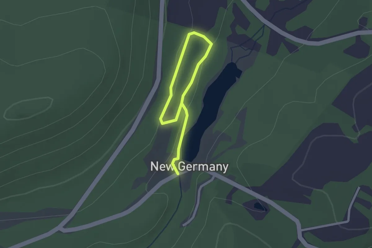
Orchard Loop
2.9 km · ↑ 53 m · 48 min
Easy · Summit
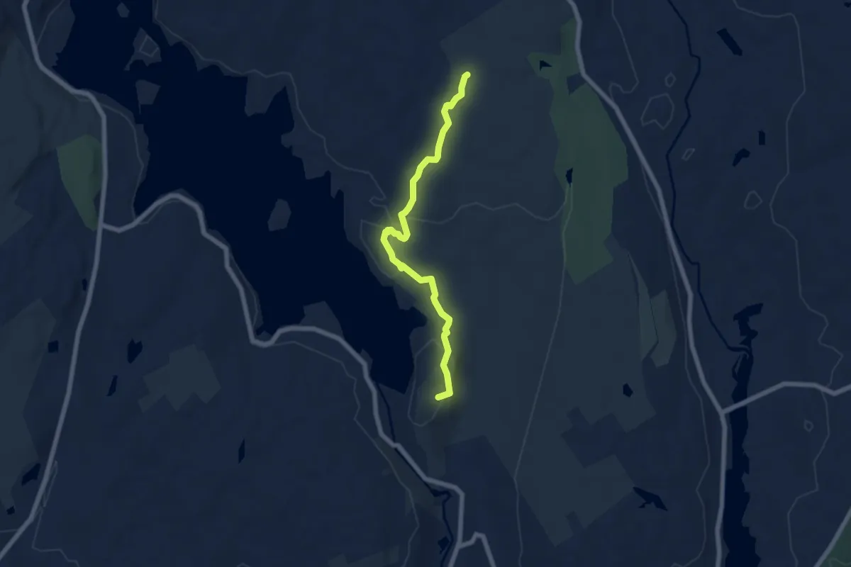
Ordway Trail
6.4 km · ↑ 231 m · 2 h 1 min
Medium · Trail
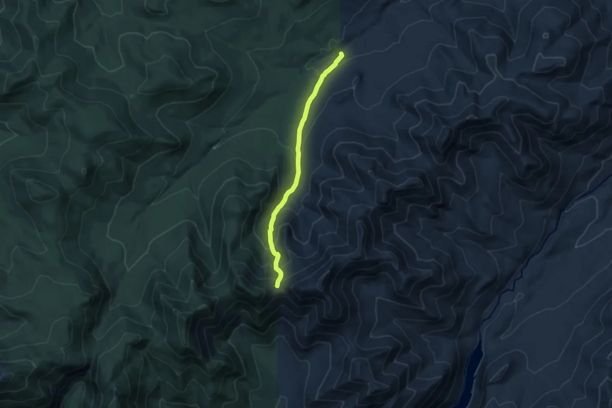
Orebed Brook Trail
8.6 km · ↑ 562 m · 3 h 16 min
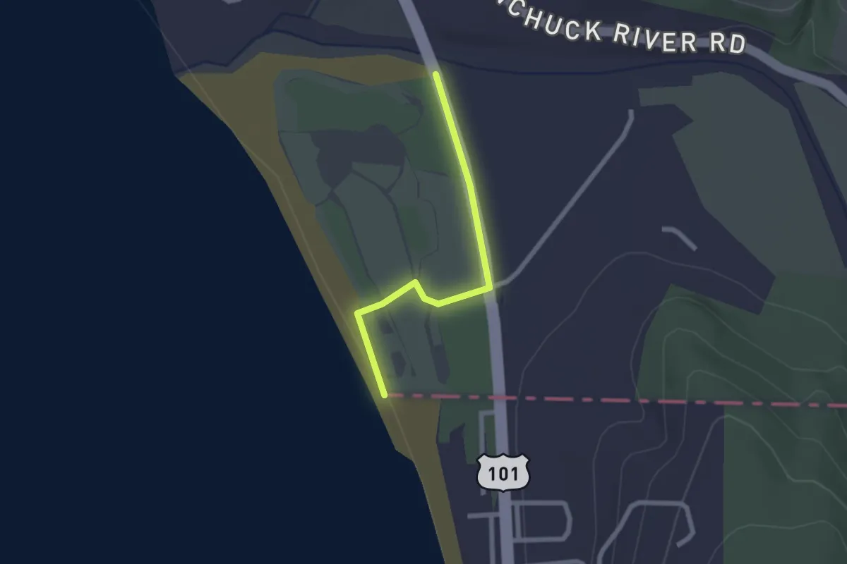
Easy · Trail
Oregon Coast Trail
2.1 km · ↑ 9 m · 31 min
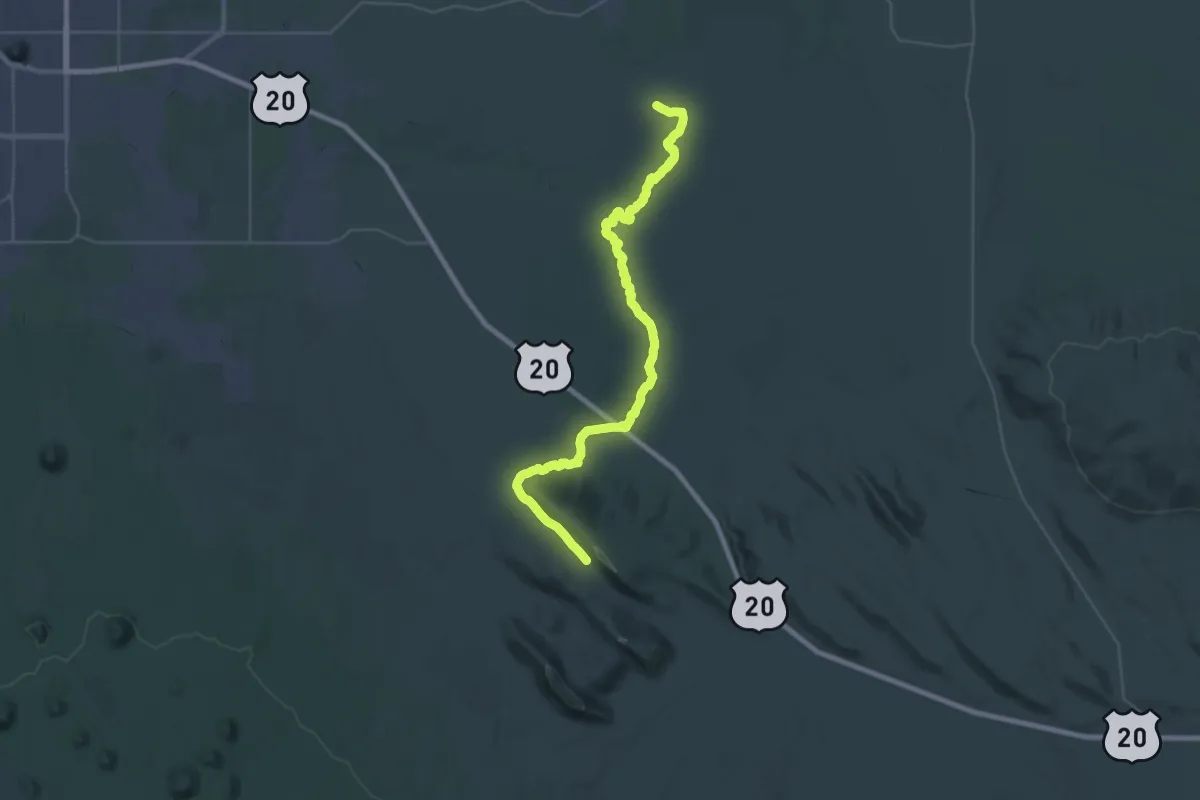
Demanding · Trail
Oregon Desert Trail
21.9 km · ↑ 35 m · 5 h 44 min
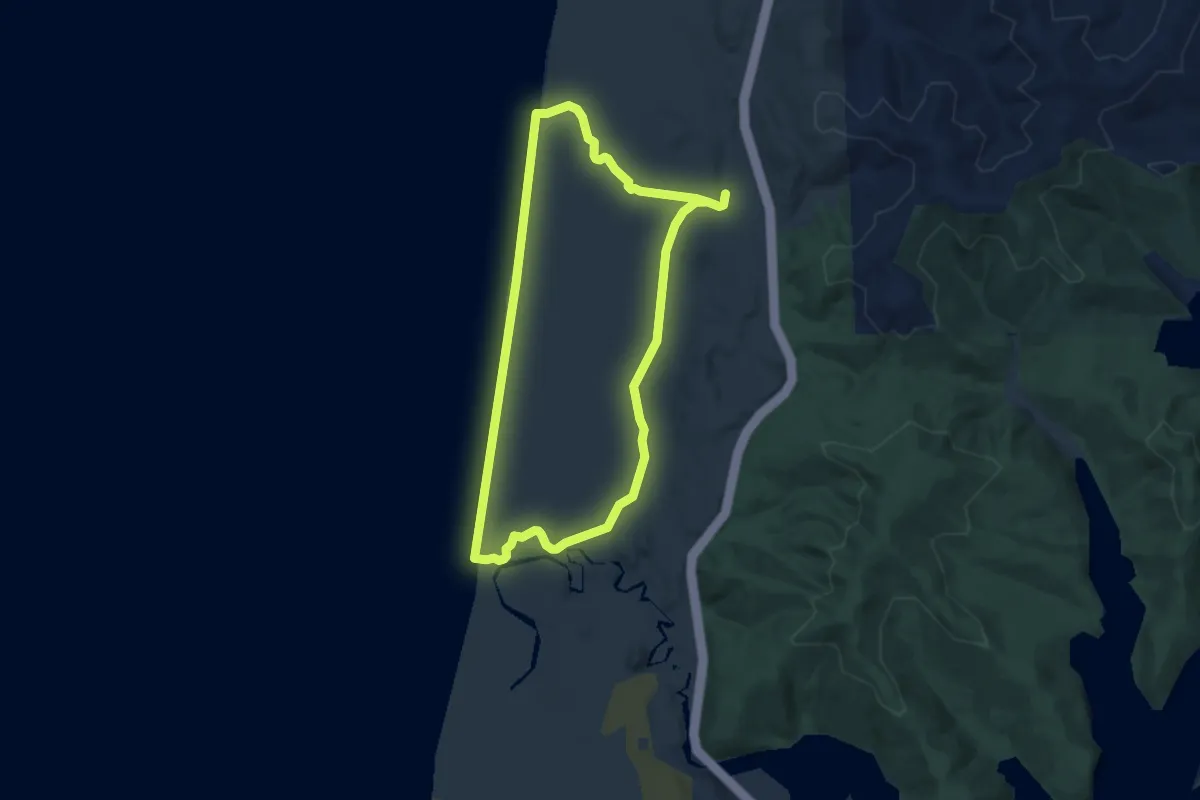
Easy · Trail
Oregon Dunes Loop Trail
6.2 km · ↑ 58 m · 1 h 41 min
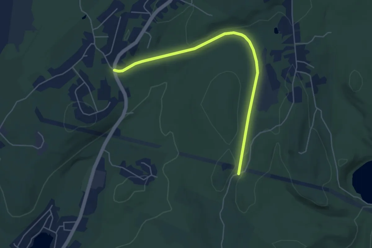
Easy · Trail
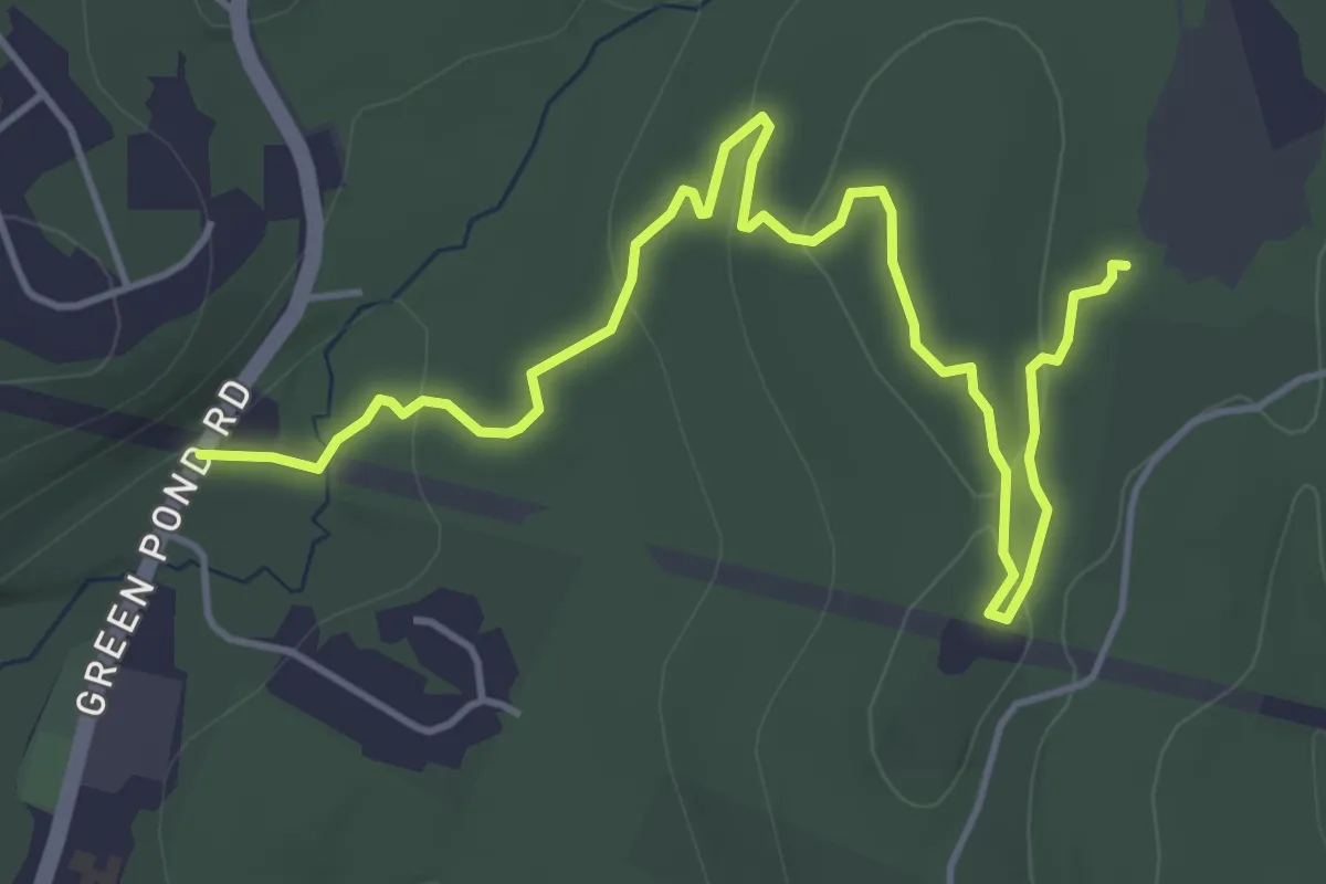
Oreland Rail Trail
5.6 km · ↑ 40 m · 1 h 25 min
Easy · Trail
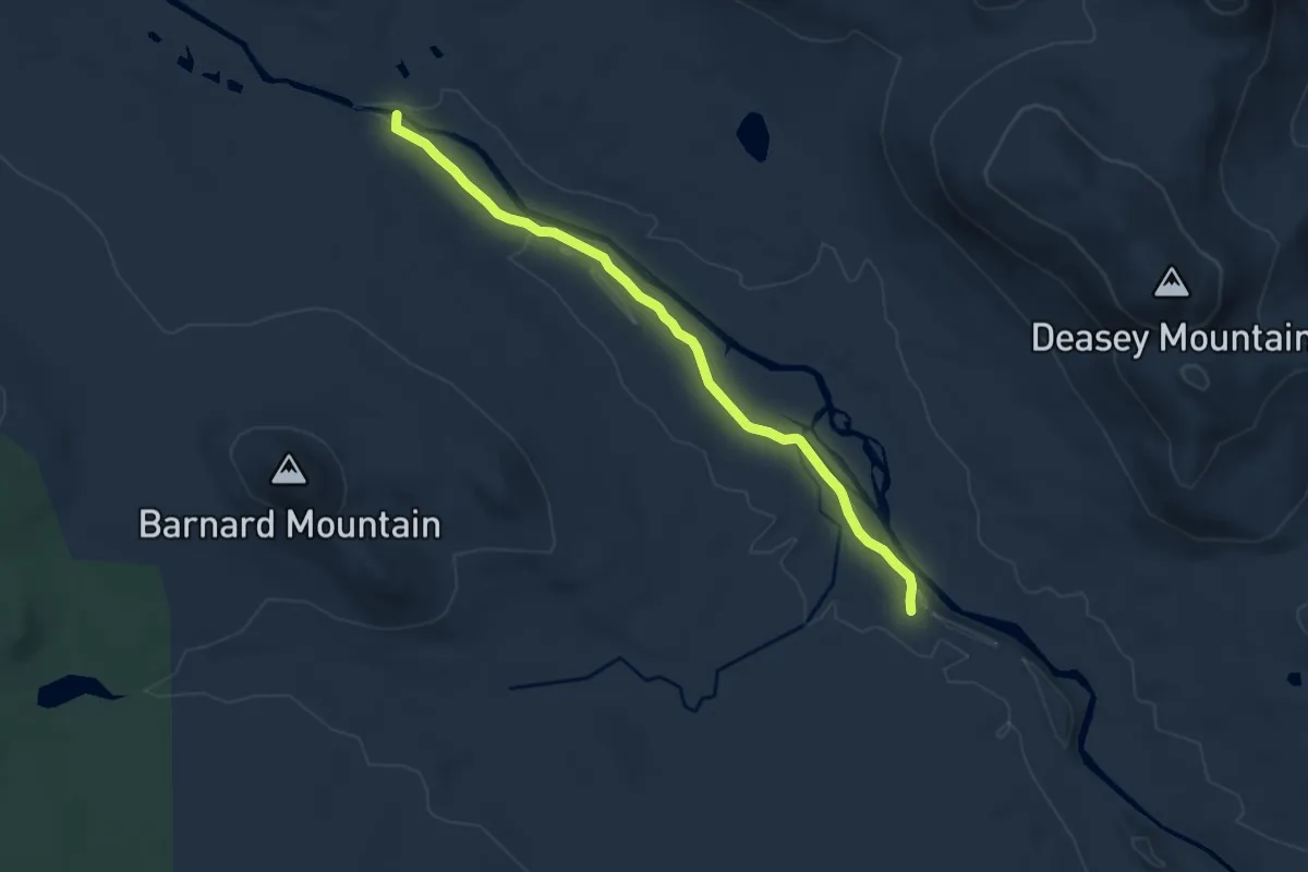
Oreland Trail
6.4 km · ↑ 122 m · 1 h 47 min
Medium · Trail
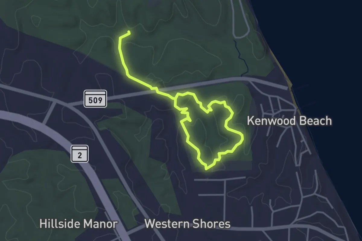
Orin Falls Trail
9.3 km · ↑ 70 m · 2 h 21 min
Easy · Trail
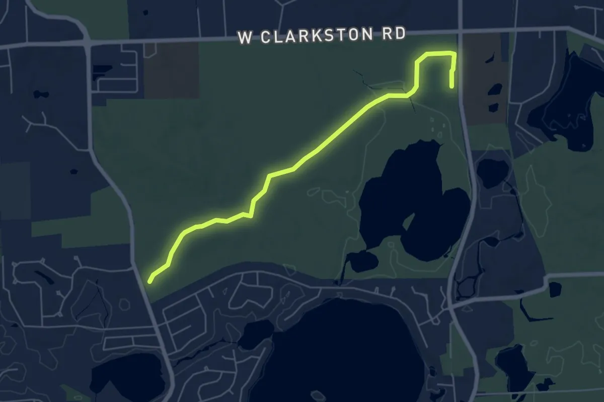
Oriole Trail
5.4 km · ↑ 81 m · 1 h 28 min
Easy · Trail
Orion Thru-way
6.1 km · ↑ 31 m · 1 h 31 min
Easy · Trail
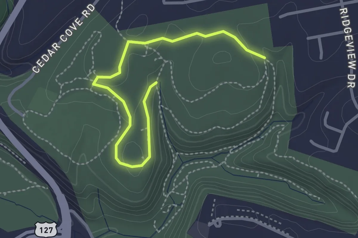
Osage
3.1 km · ↑ 48 m · 50 min
Demanding · Trail
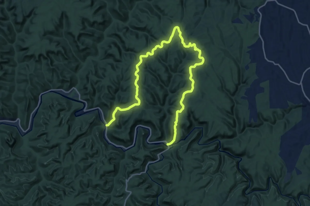
Osborne Bend Trail #240
21.2 km · ↑ 535 m · 6 h 10 min
Easy · Summit
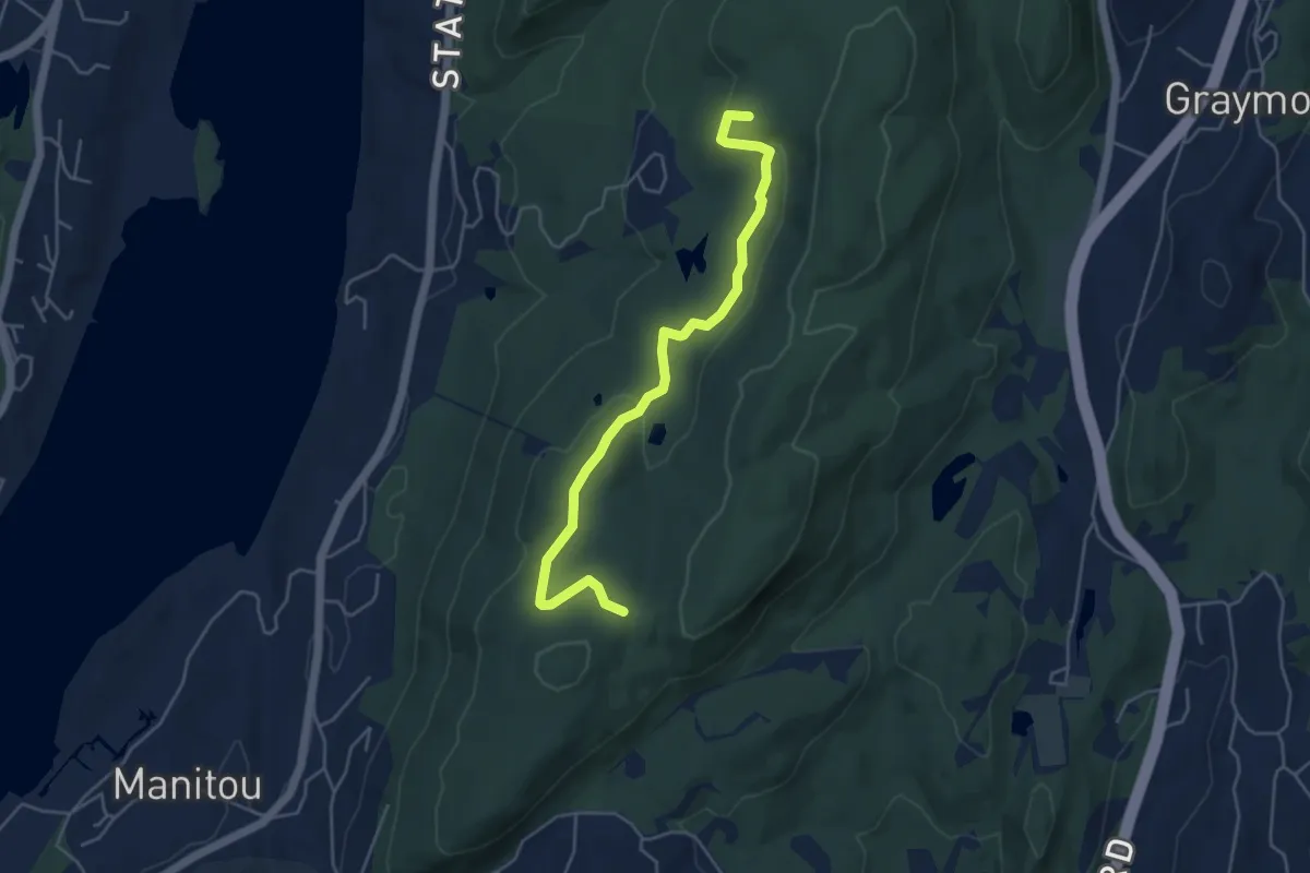
Osborne Loop
5.3 km · ↑ 129 m · 1 h 32 min
Demanding · Trail
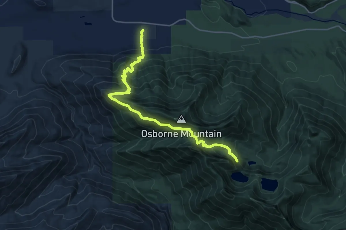
Osborne Mountain Trail #250
15.6 km · ↑ 1171 m · 6 h 13 min
Easy · Trail
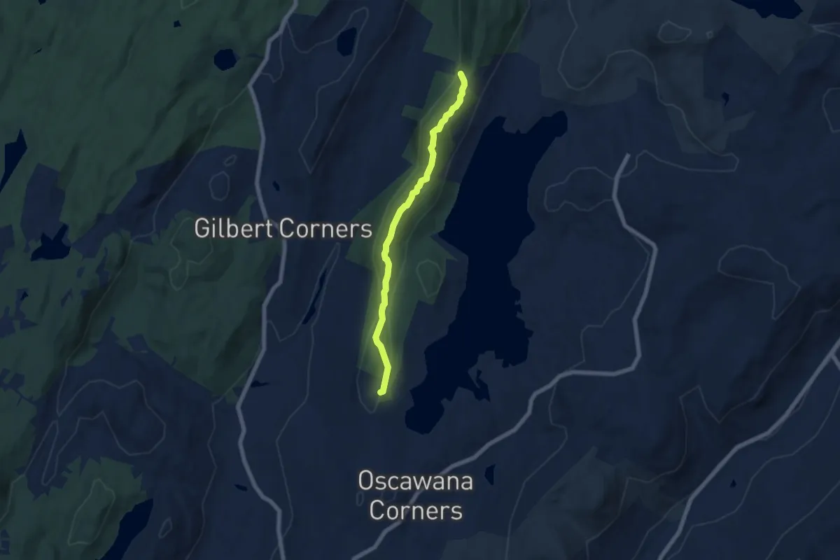
Oscawana Ridge Trail
6.2 km · ↑ 213 m · 1 h 55 min
Easy · Trail
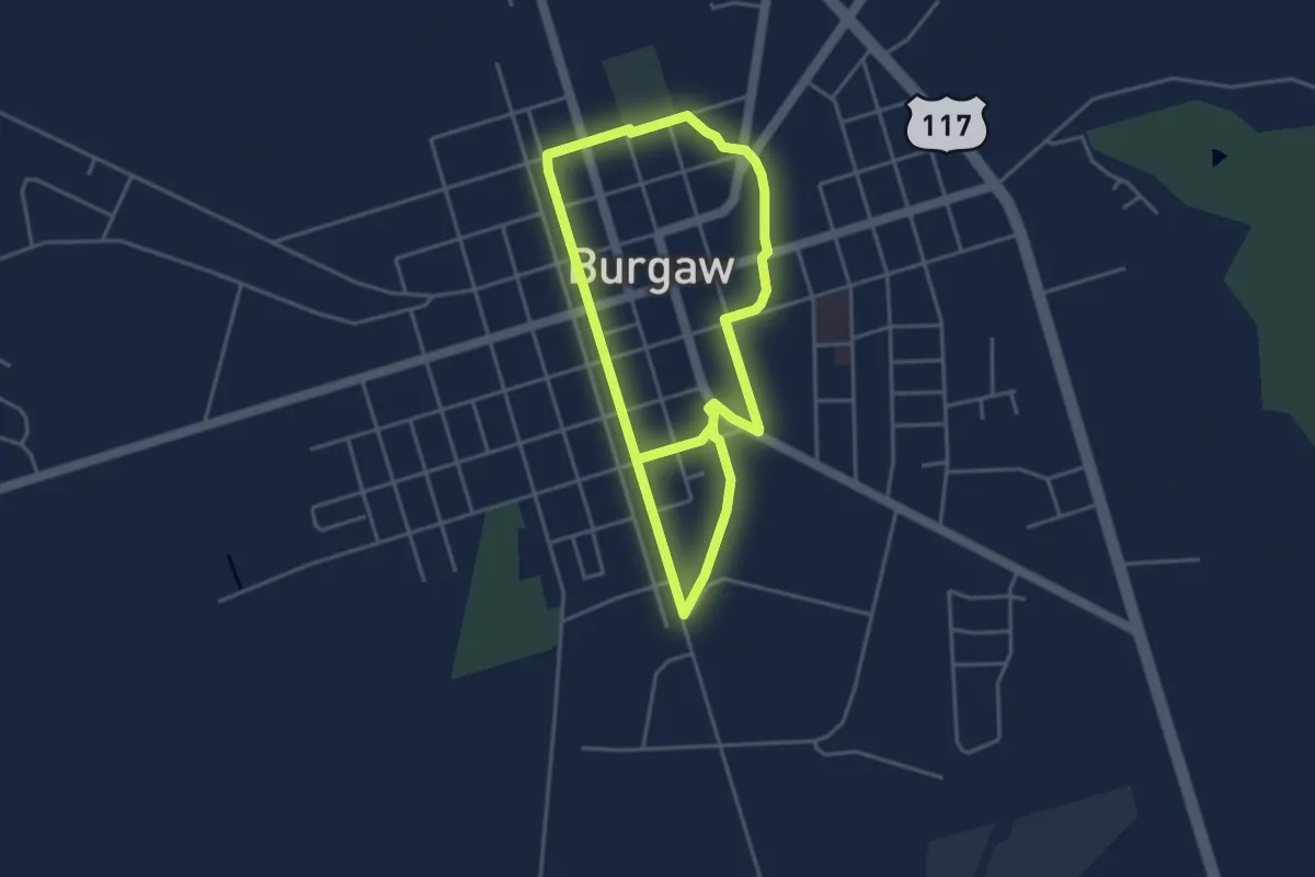
Osgood Canal Trail
4.4 km · ↑ 0 m · 1 h 6 min
Medium · Trail
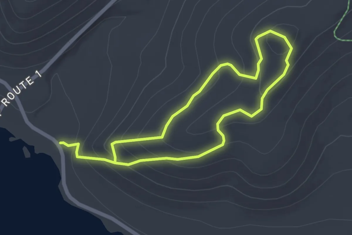
Osgood Trail
7.1 km · ↑ 361 m · 2 h 27 min
Demanding · Trail
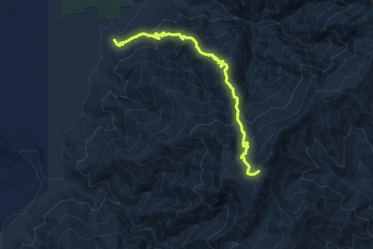
Osha Trail
11.2 km · ↑ 873 m · 4 h 32 min
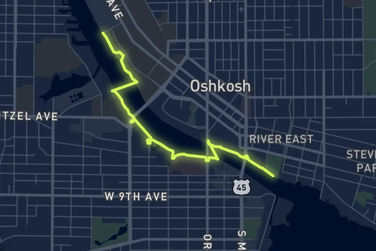
Easy · Trail
Oshkosh Riverwalk
7.7 km · ↑ 0 m · 1 h 48 min
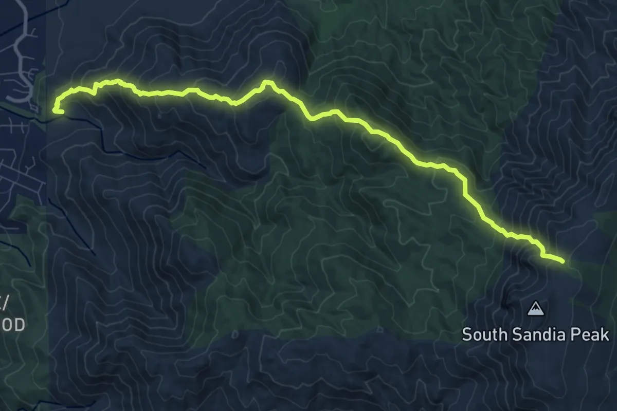
Demanding · Trail
Oso Ridge Trail
12.1 km · ↑ 1171 m · 5 h 24 min
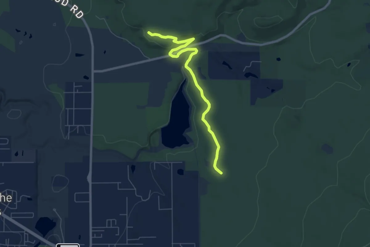
Easy · Trail
Osprey Connector Trail
7.6 km · ↑ 95 m · 2 h
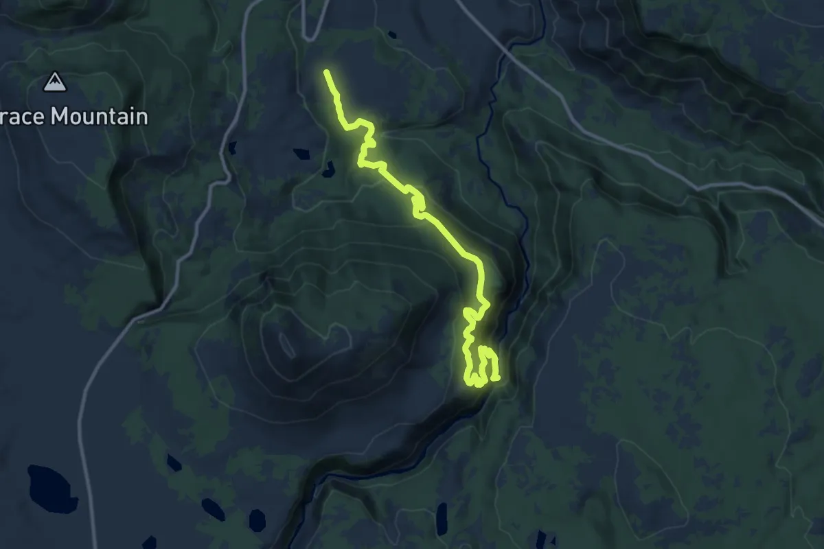
Medium · Trail
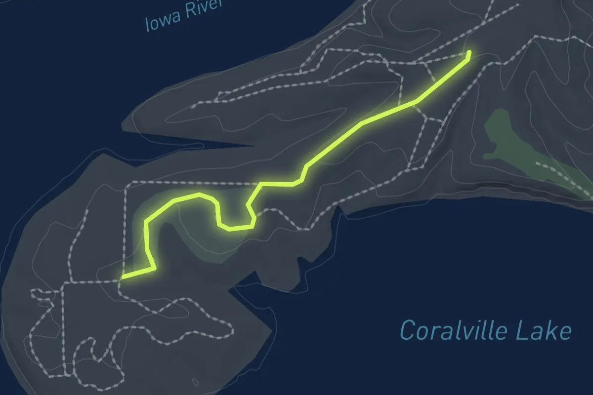
Osprey Falls Trail
12.5 km · ↑ 682 m · 4 h 26 min
Easy · Trail
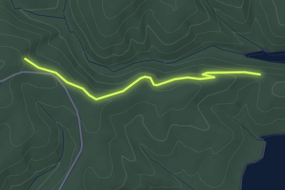
Osprey Hack Tower Trail
2.2 km · ↑ 18 m · 33 min
Easy · Trail
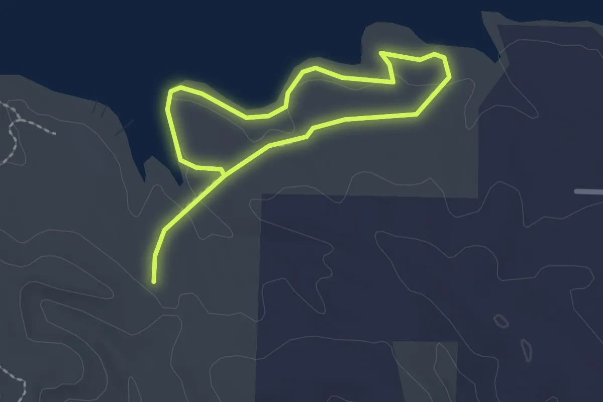
Osprey Trail
3.3 km · ↑ 101 m · 1 h
Easy · Trail
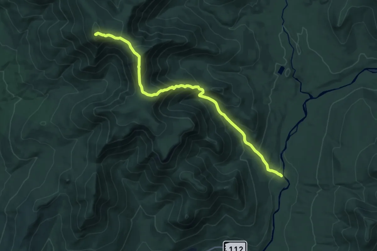
Osprey Trail
3.4 km · ↑ 13 m · 51 min
Demanding · Summit
Osseo Trail
14.9 km · ↑ 1216 m · 6 h 10 min
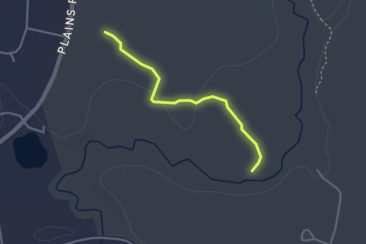
Easy · Trail
Ossipee Pine Barrens Accessible Trail
2.6 km · ↑ 4 m · 37 min
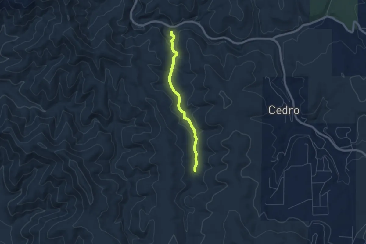
Medium · Trail
Otero Canyon Trail
5.3 km · ↑ 82 m · 1 h 26 min
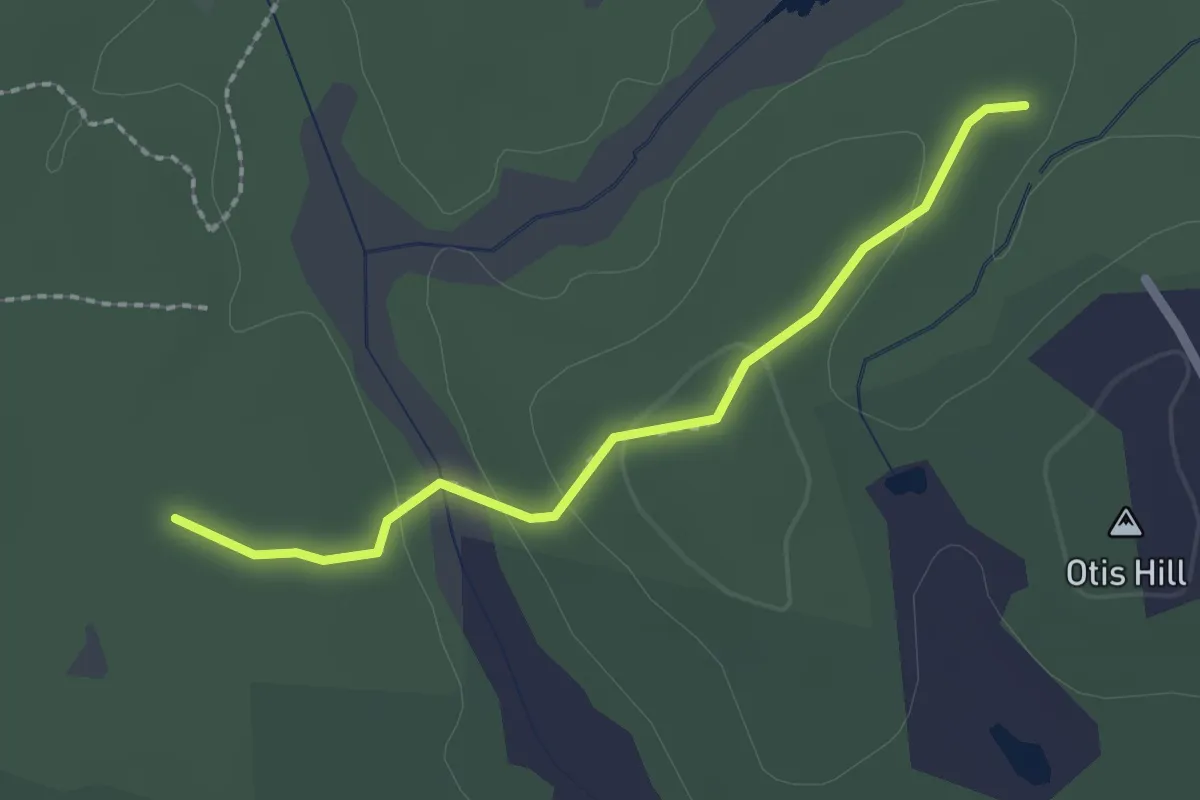
Easy · Trail
Otis Hill Trail
2.2 km · ↑ 37 m · 36 min
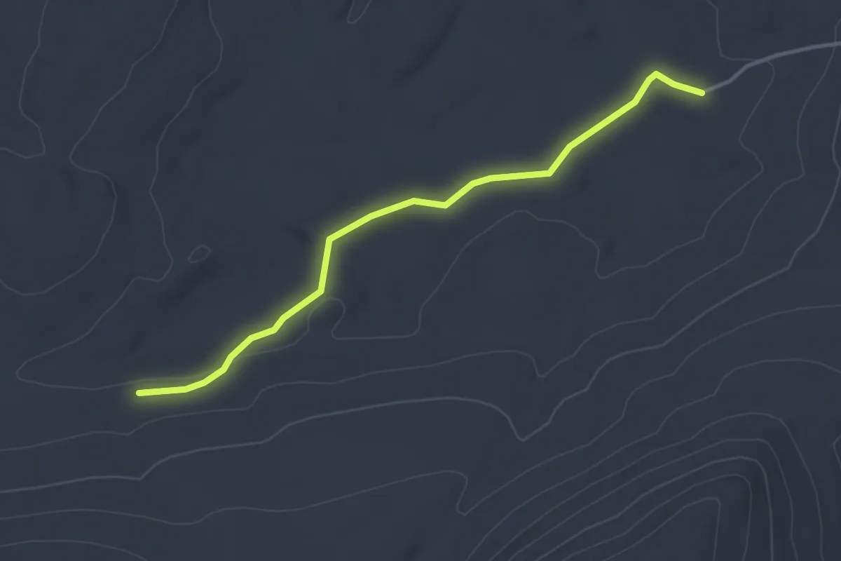
Easy · Trail
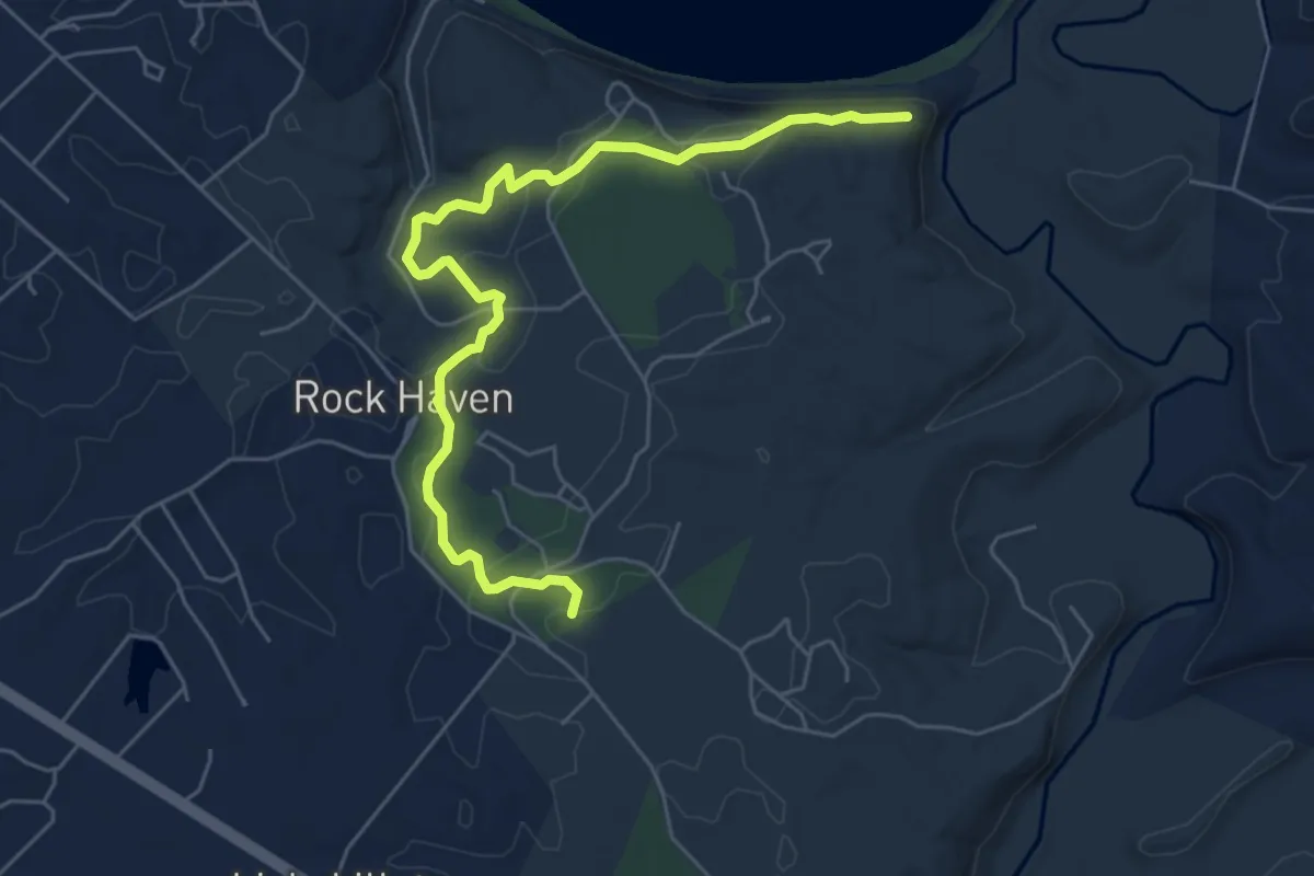
Otter Brook Trail
3.8 km · ↑ 40 m · 59 min
Easy · Trail
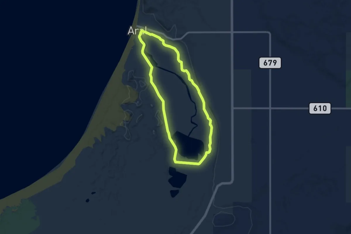
Otter Creek
7.3 km · ↑ 132 m · 2 h
Easy · Trail
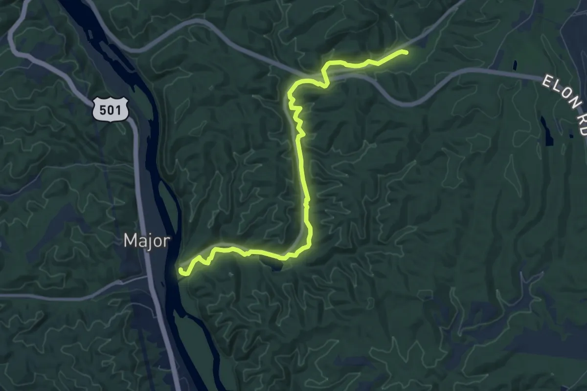
Otter Creek Loop (Platte Plains)
7.3 km · ↑ 4 m · 1 h 49 min
Medium · Trail
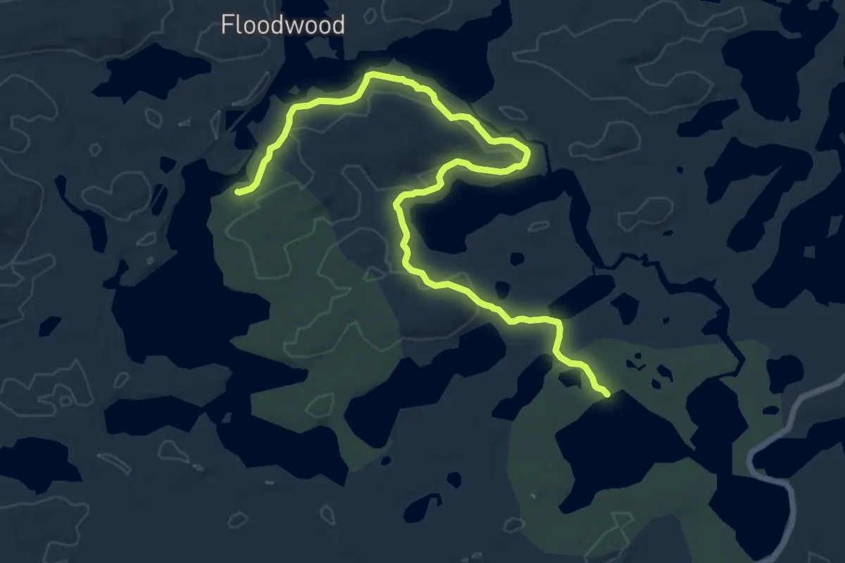
Otter Creek Trail
10.1 km · ↑ 145 m · 2 h 42 min
Medium · Trail
Otter Hollow Trail
14.4 km · ↑ 212 m · 3 h 52 min
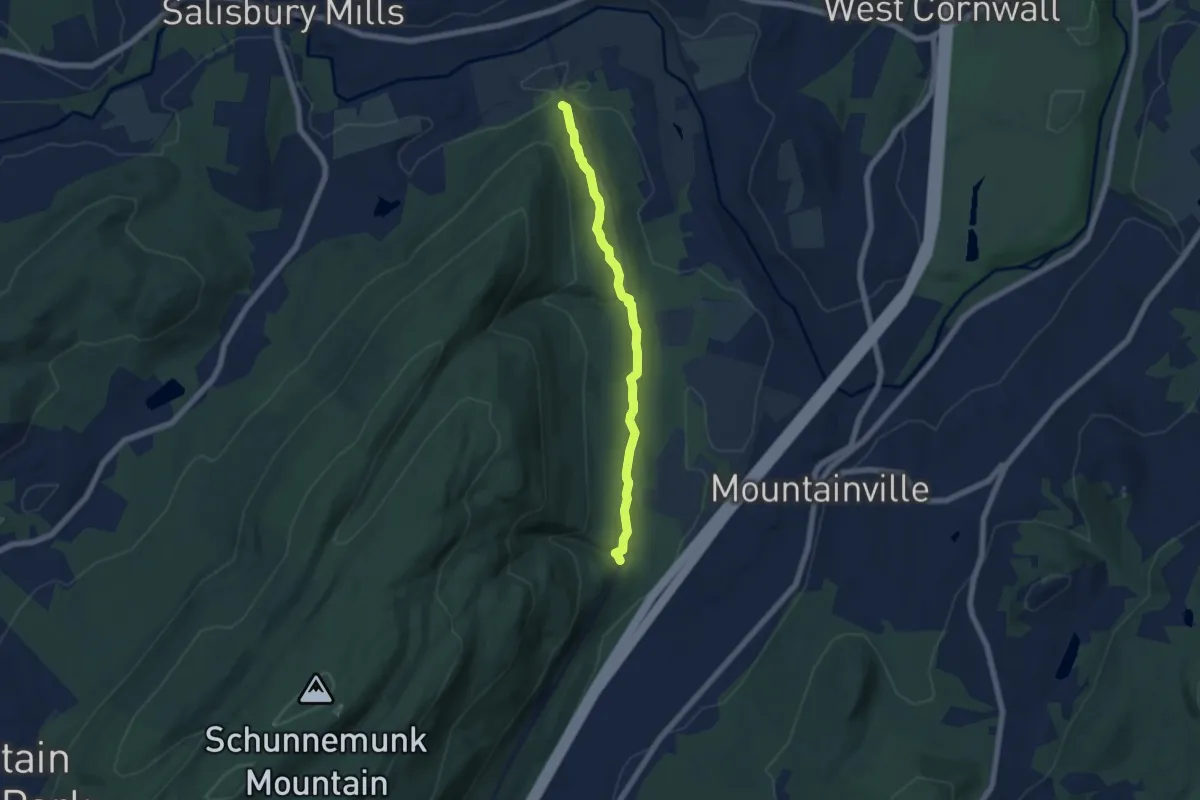
Easy · Trail
Otterkill Trail
6.3 km · ↑ 114 m · 1 h 45 min
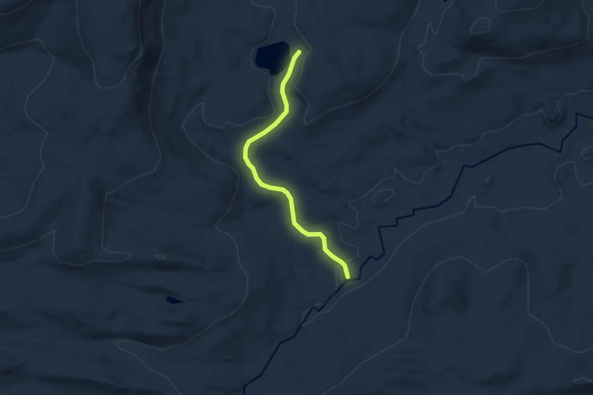
Easy · Trail
Otter Lake Trail
5.8 km · ↑ 103 m · 1 h 35 min
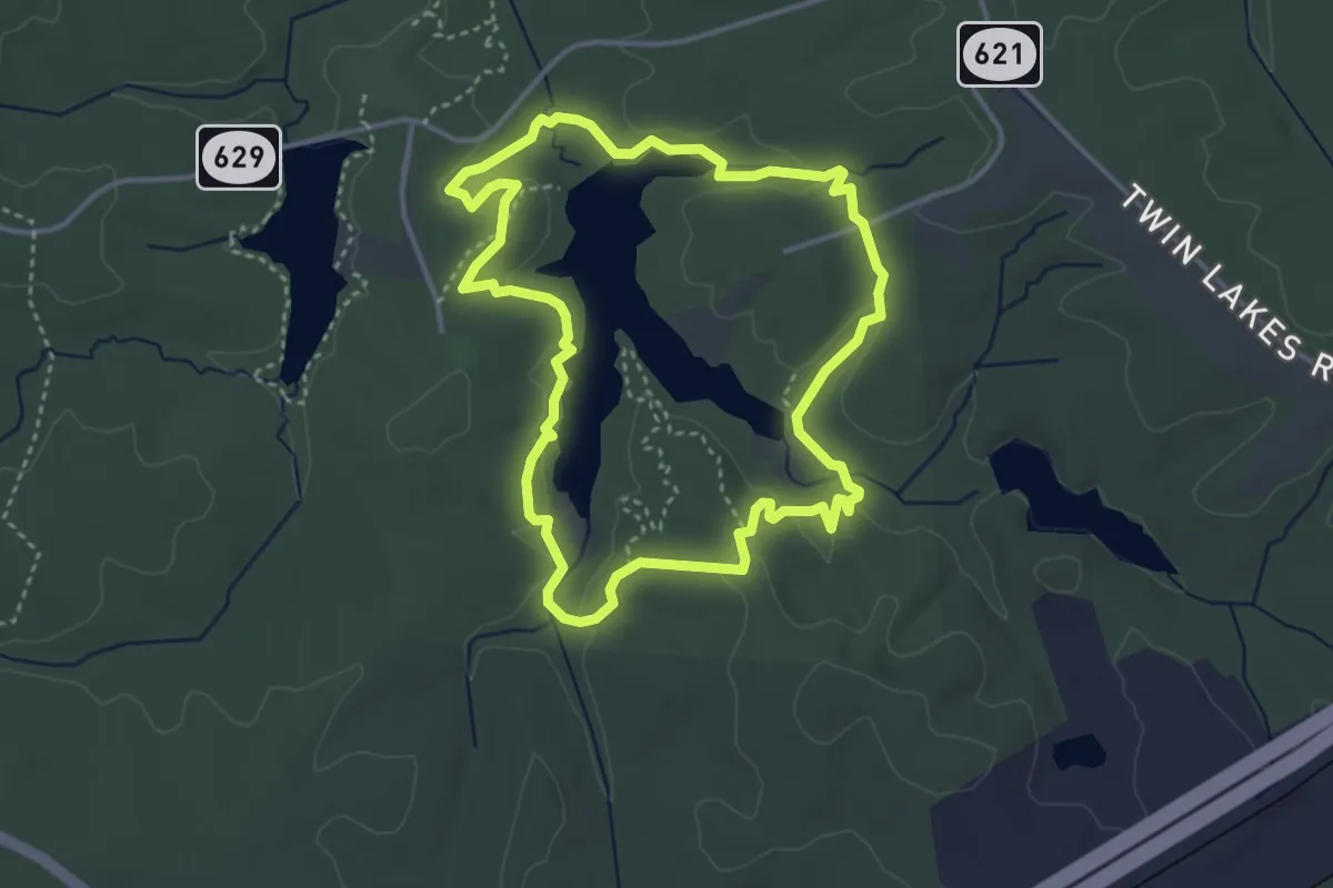
Easy · Trail
Otter's Path Trail
4.2 km · ↑ 76 m · 1 h 14 min
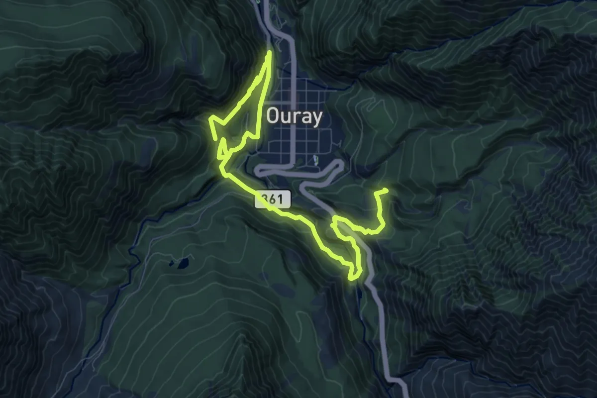
Medium · Trail
Ouray Perimeter Trail
6.8 km · ↑ 415 m · 2 h 35 min
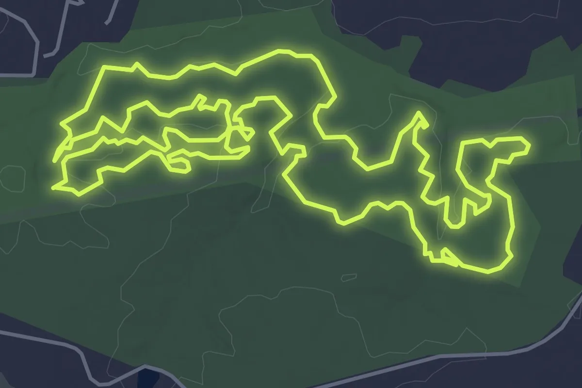
Medium · Trail
Outer Loop
8.0 km · ↑ 122 m · 2 h 16 min
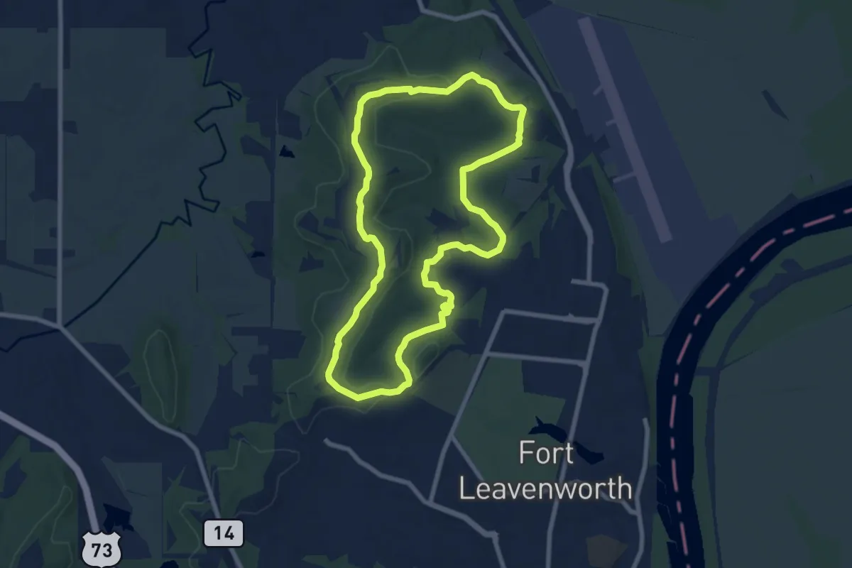
Medium · Summit
Outer Loop
8.0 km · ↑ 124 m · 2 h 16 min
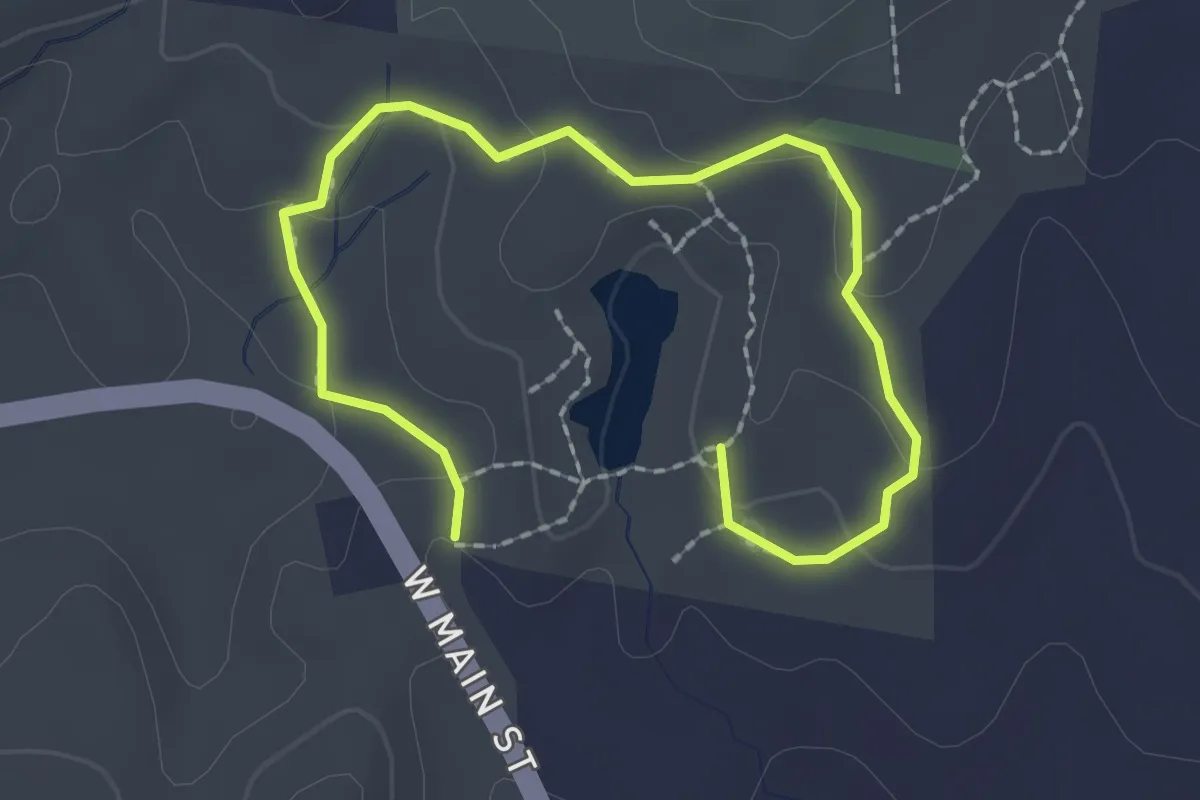
Easy · Trail
Outer Loop
2.9 km · ↑ 78 m · 52 min
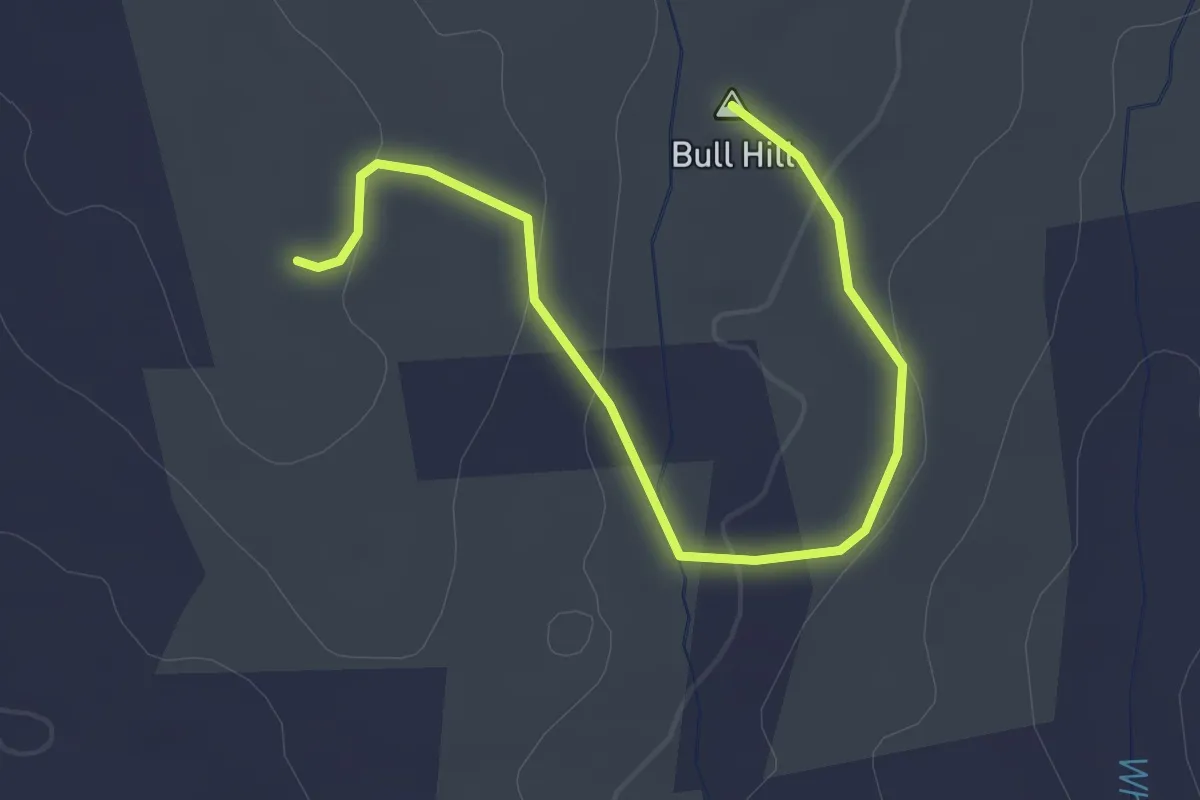
Easy · Summit
Outer Loop Trail
2.7 km · ↑ 89 m · 51 min