Trails in United States
10,367 hiking trails, each with its route, climb, walking time and grade.
All trails, page 139 of 216
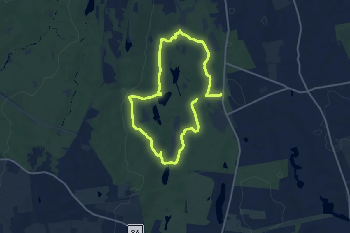
Medium · Trail
Outer Loop Trail
15.5 km · ↑ 219 m · 4 h 8 min
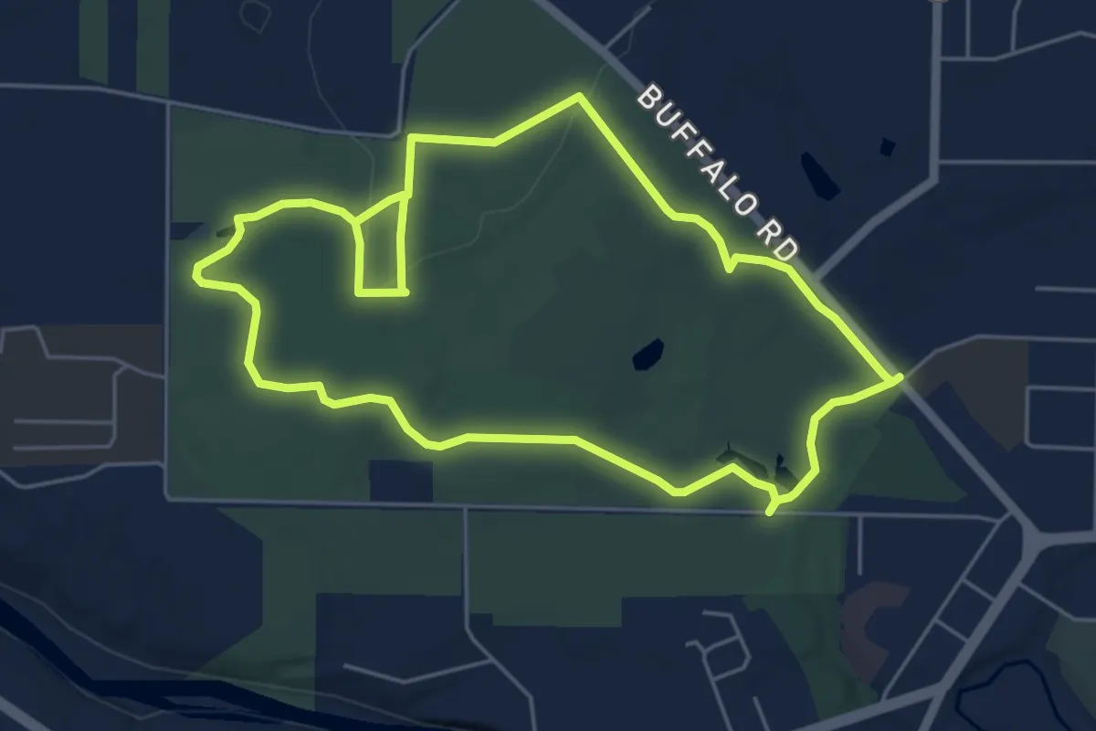
Easy · Trail
Outer Loop Trail
5.6 km · ↑ 39 m · 1 h 28 min
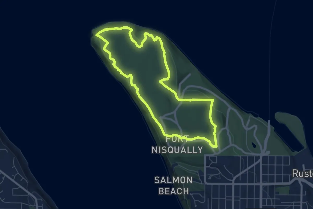
Easy · Trail
Outside Loop Trail
6.7 km · ↑ 116 m · 1 h 56 min
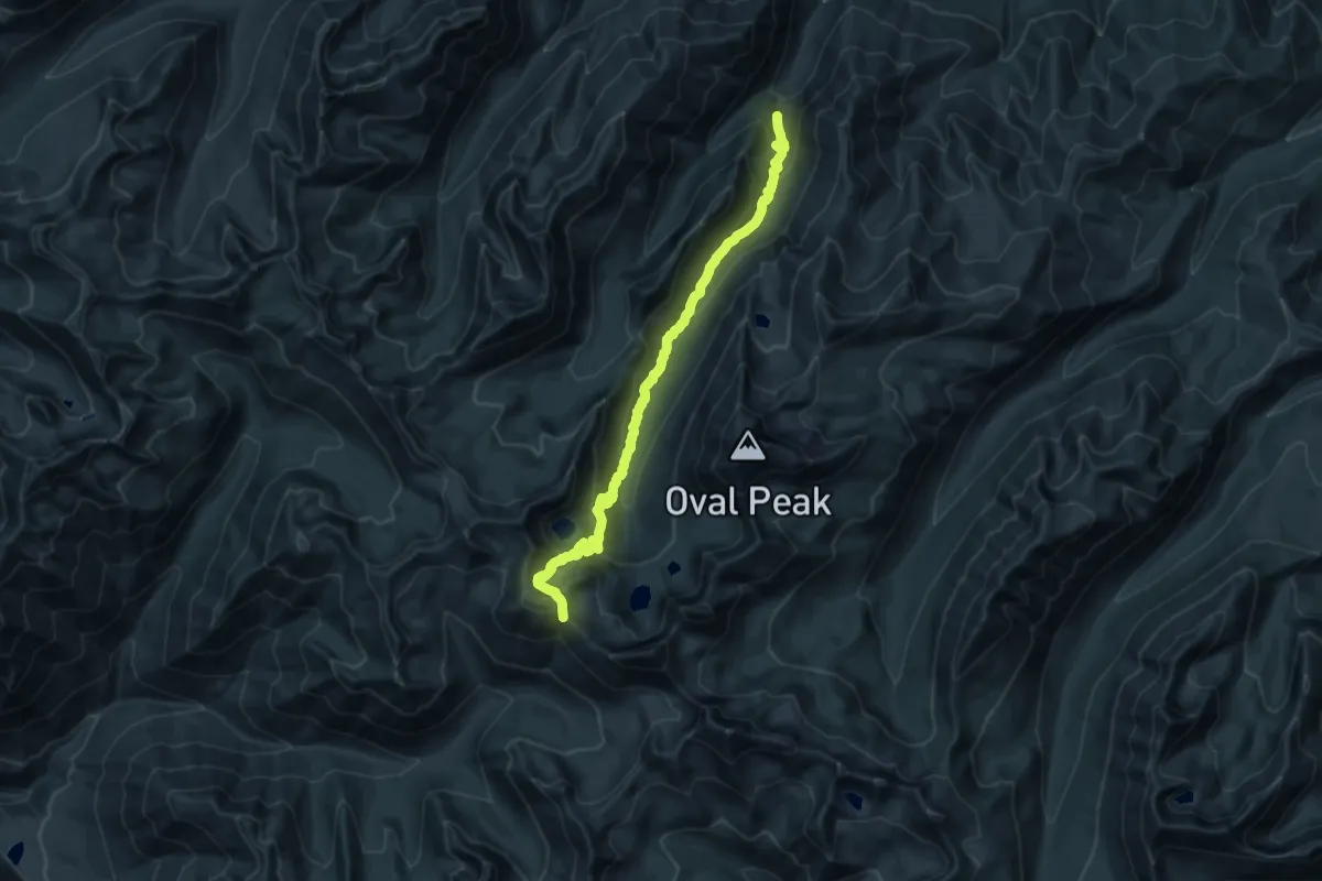
Demanding · Trail
Oval Creek Trail
20.9 km · ↑ 1263 m · 7 h 41 min
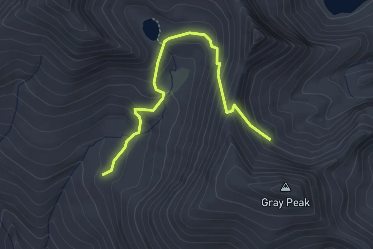
Medium · Trail
Oval Pass Trail #1259.13
3.8 km · ↑ 284 m · 1 h 30 min
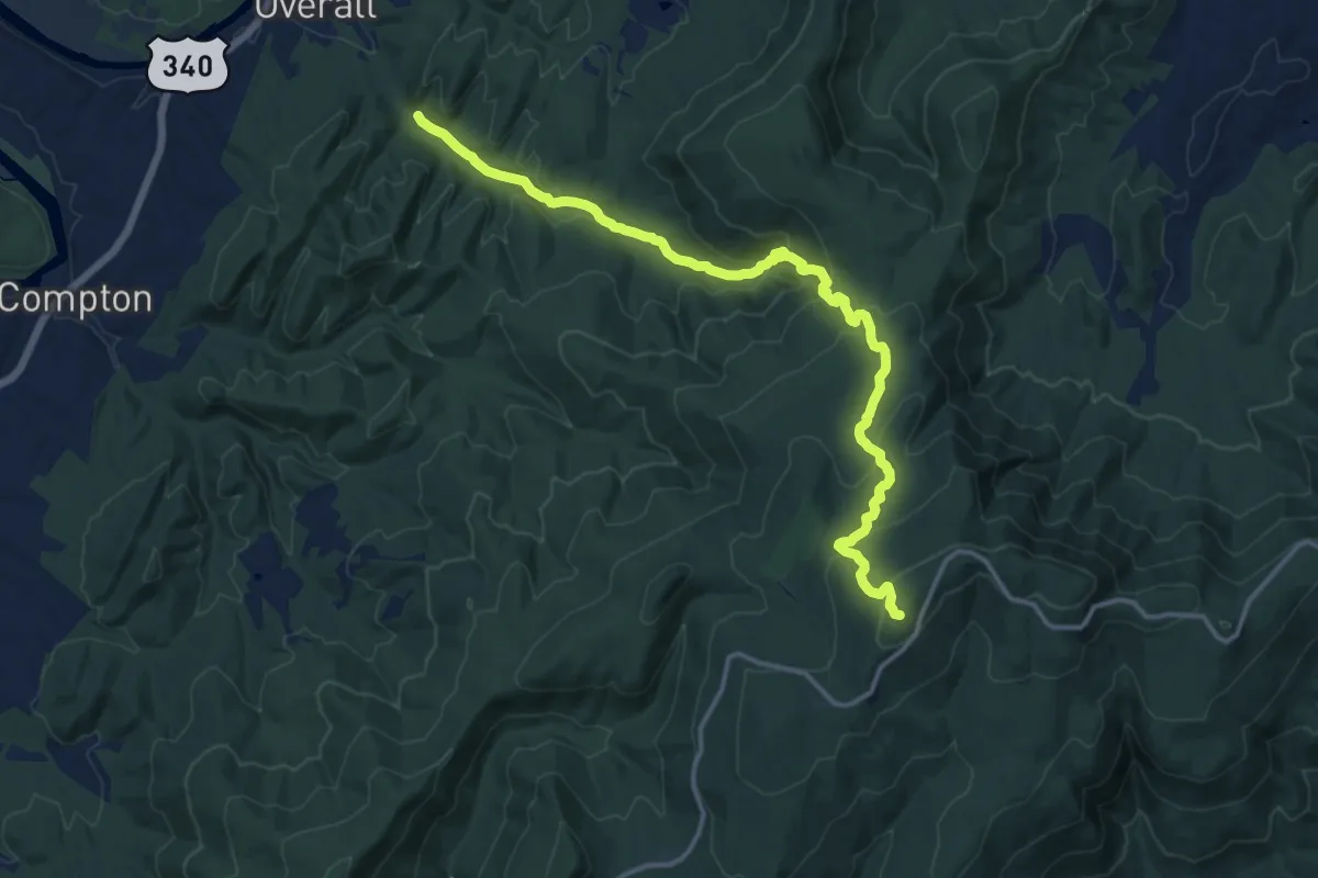
Demanding · Trail
Overall Run Trail
17.6 km · ↑ 845 m · 5 h 59 min
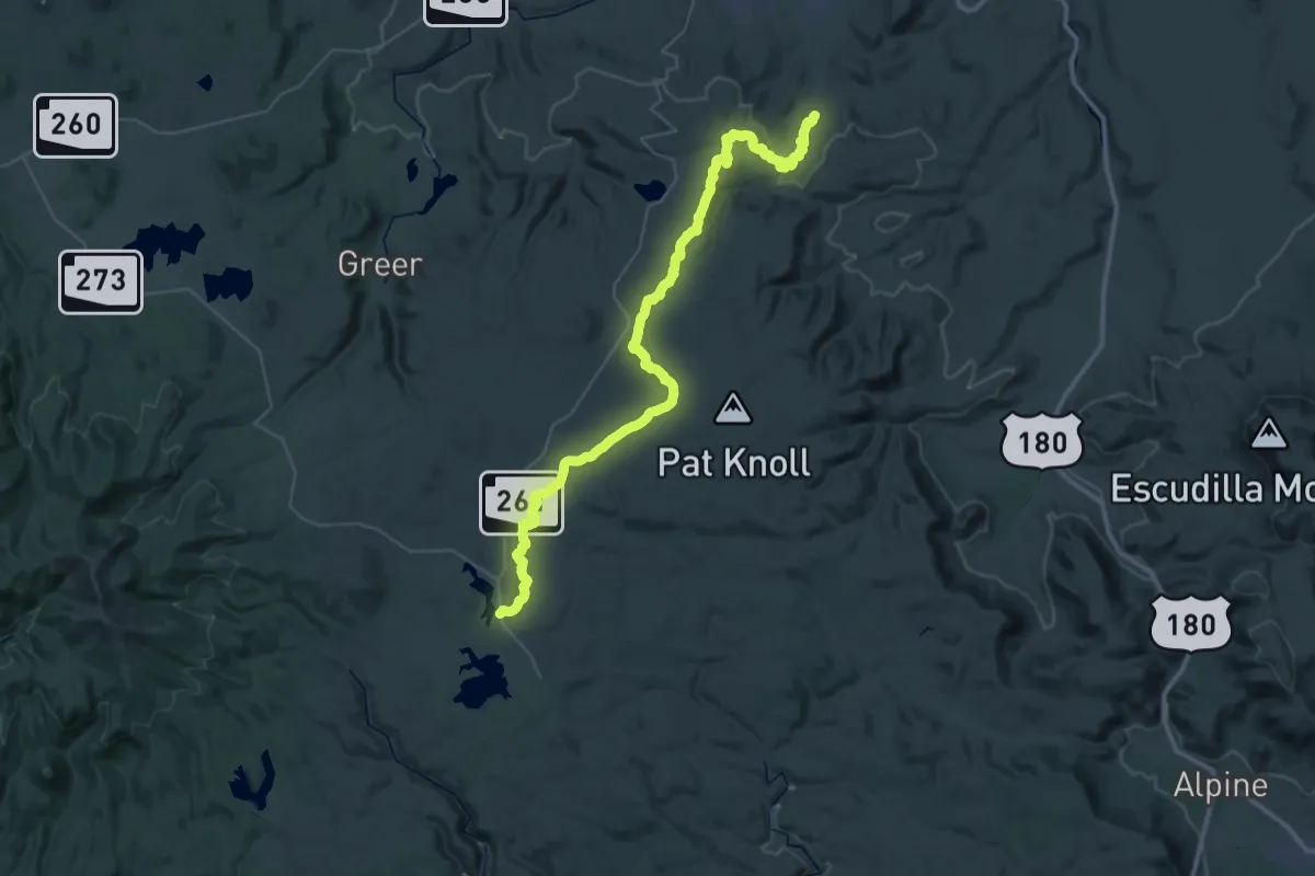
Demanding · Trail
Overland Trail #615
29.8 km · ↑ 213 m · 8 h 7 min
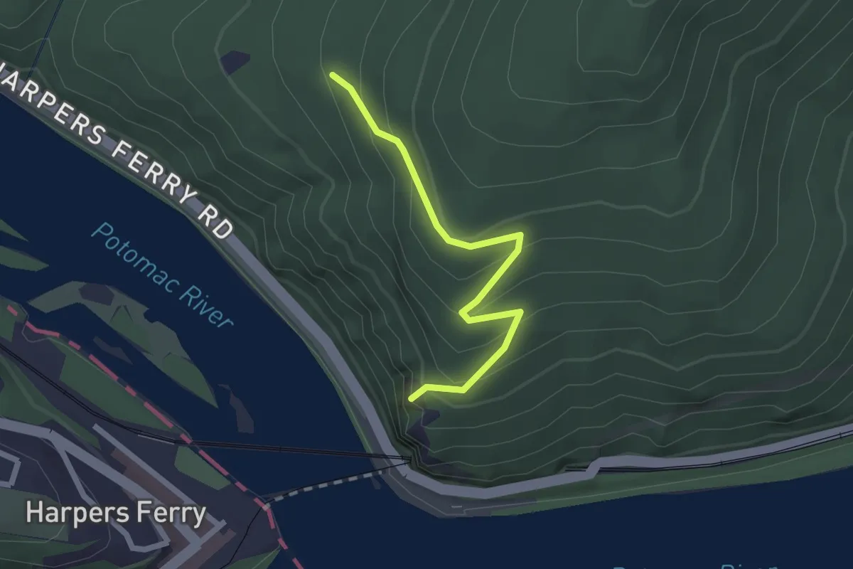
Easy · Trail
Overlook Cliff Trail
2.2 km · ↑ 173 m · 53 min
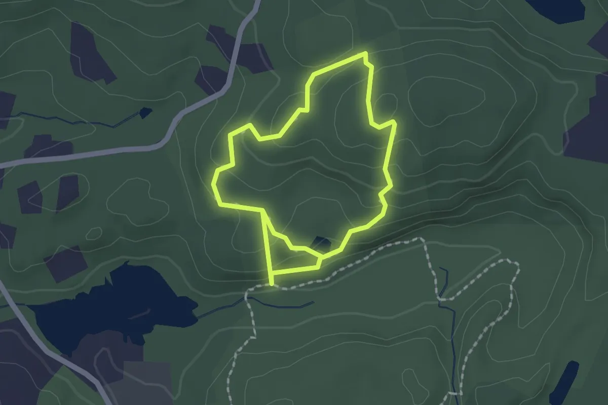
Easy · Trail
Overlook Loop
1.5 km · ↑ 79 m · 34 min
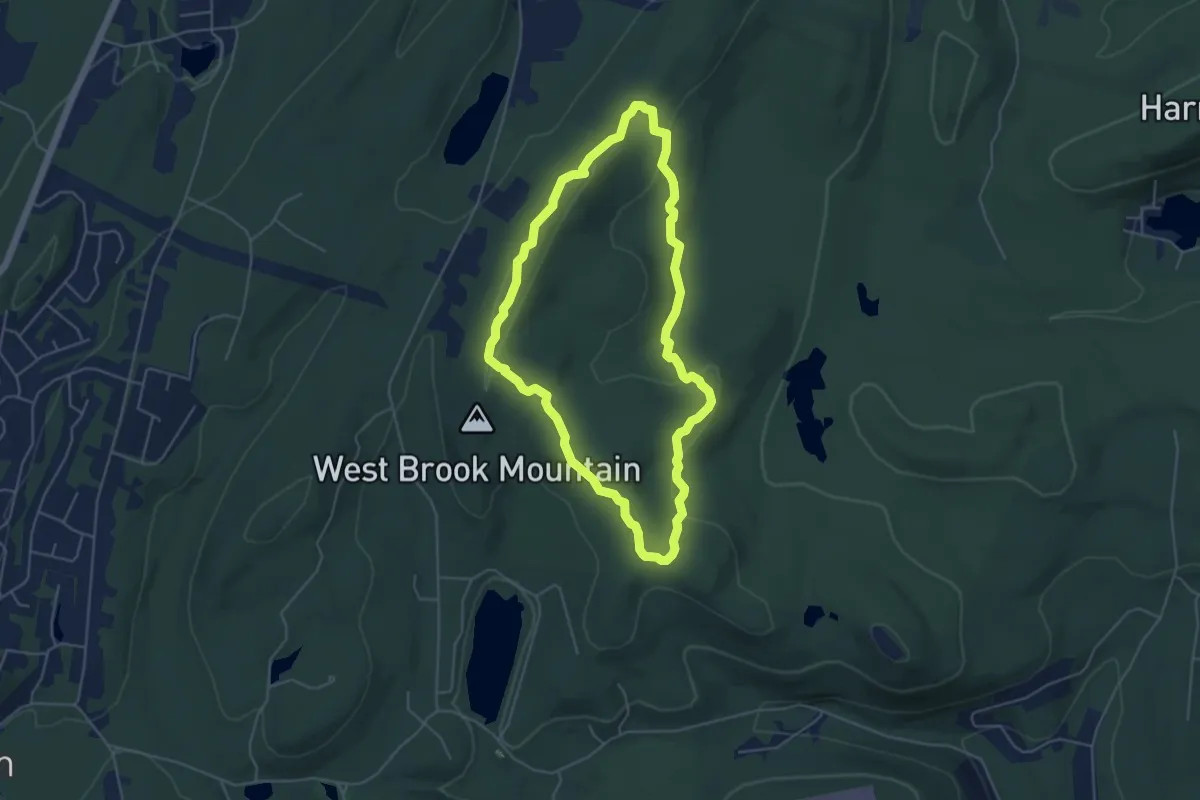
Easy · Trail
Overlook Rock Trail
5.1 km · ↑ 133 m · 1 h 34 min
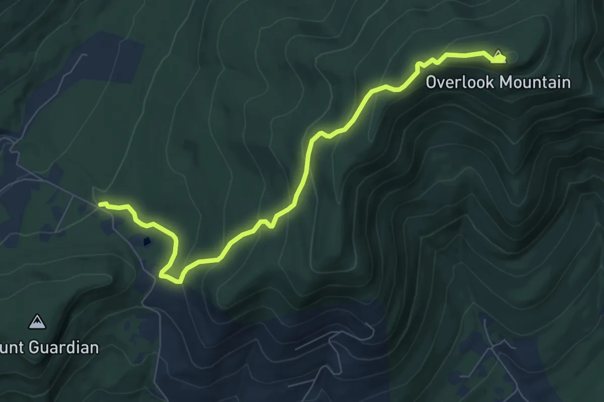
Medium · Summit
Overlook Spur Trail
8.9 km · ↑ 457 m · 3 h 5 min
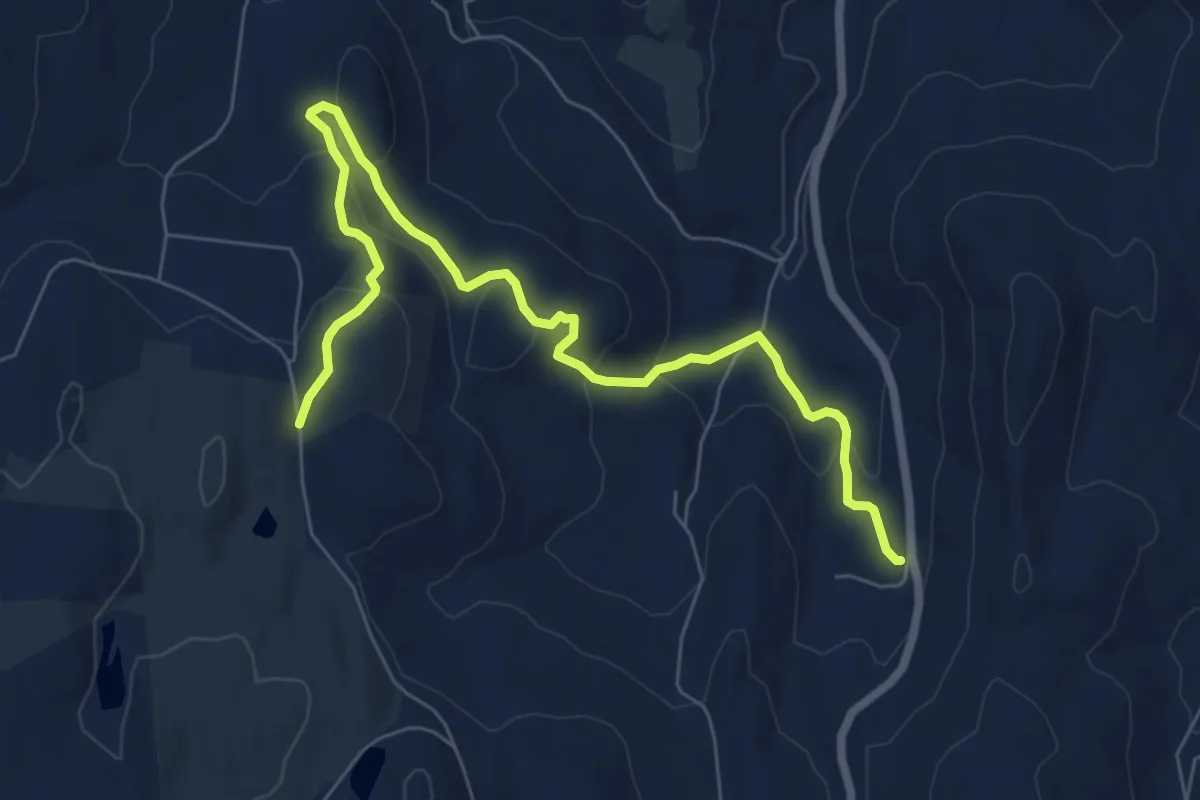
Medium · Trail
Overlook to Stroheker Road Trail
8.6 km · ↑ 352 m · 2 h 48 min
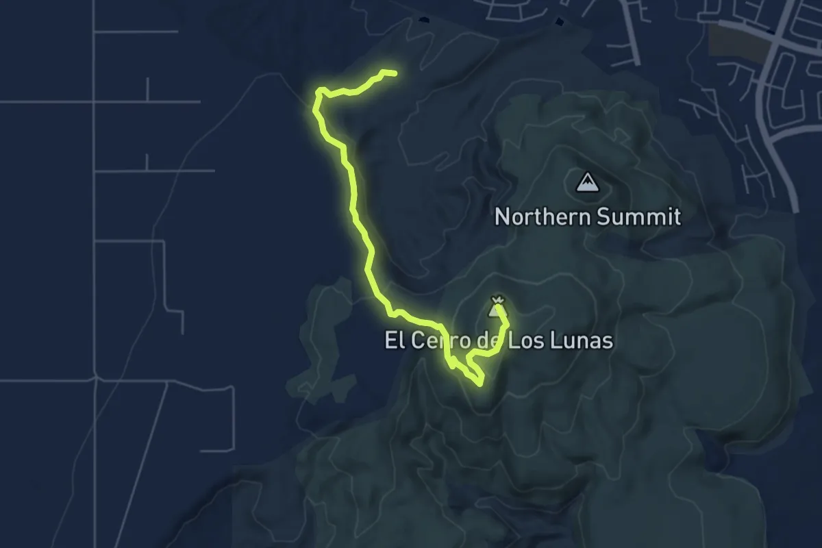
Easy · Summit
Overlook Trail
6.8 km · ↑ 207 m · 2 h 4 min
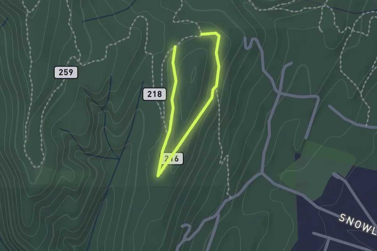
Medium · Trail
Overlook Trail
1.2 km · ↑ 28 m · 21 min
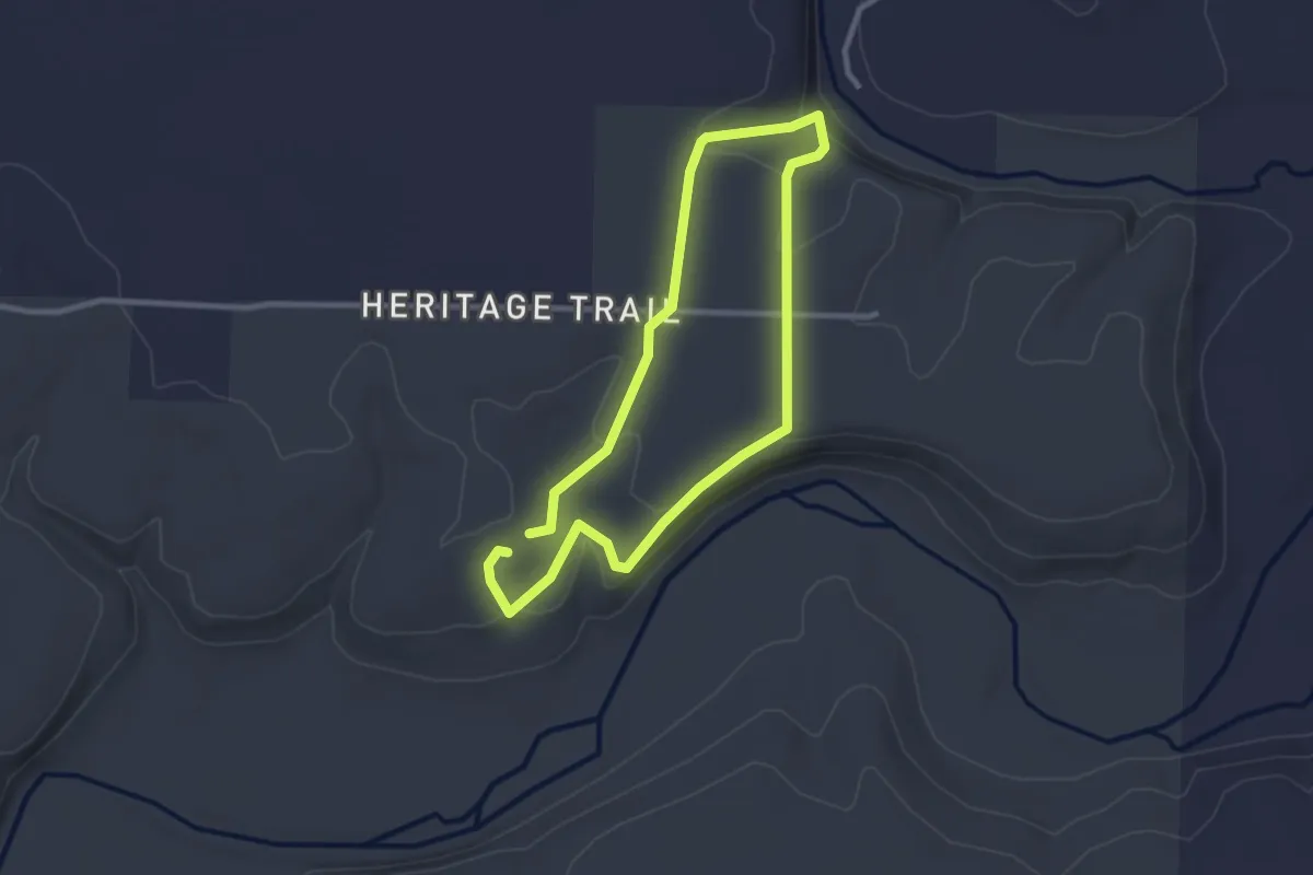
Easy · Trail
Overlook Trail
2.8 km · ↑ 65 m · 51 min
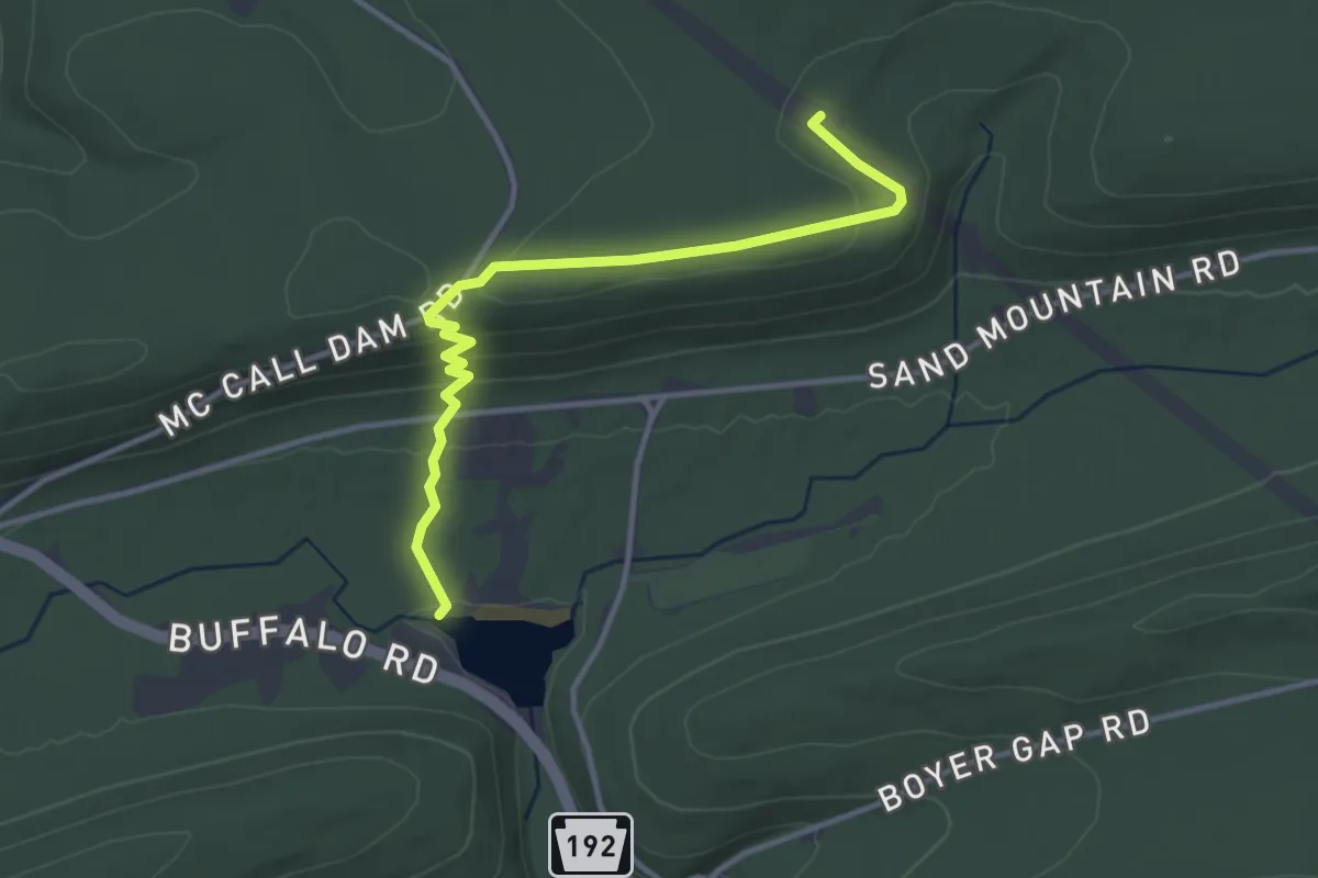
Easy · Trail
Overlook Trail
3.9 km · ↑ 131 m · 1 h 12 min
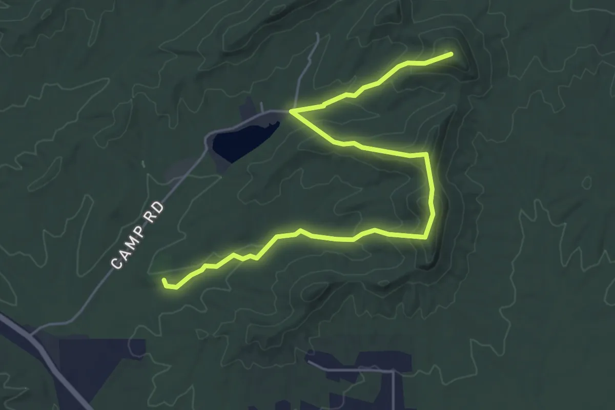
Easy · Trail
Overlook Trail
6.3 km · ↑ 313 m · 2 h 10 min
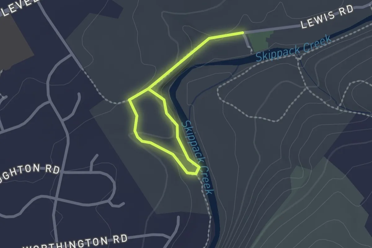
Easy · Trail
Overlook Trail
2.6 km · ↑ 64 m · 46 min
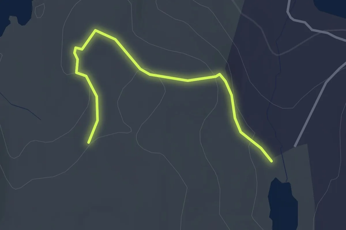
Easy · Trail
Overlook Trail
3.3 km · ↑ 84 m · 57 min
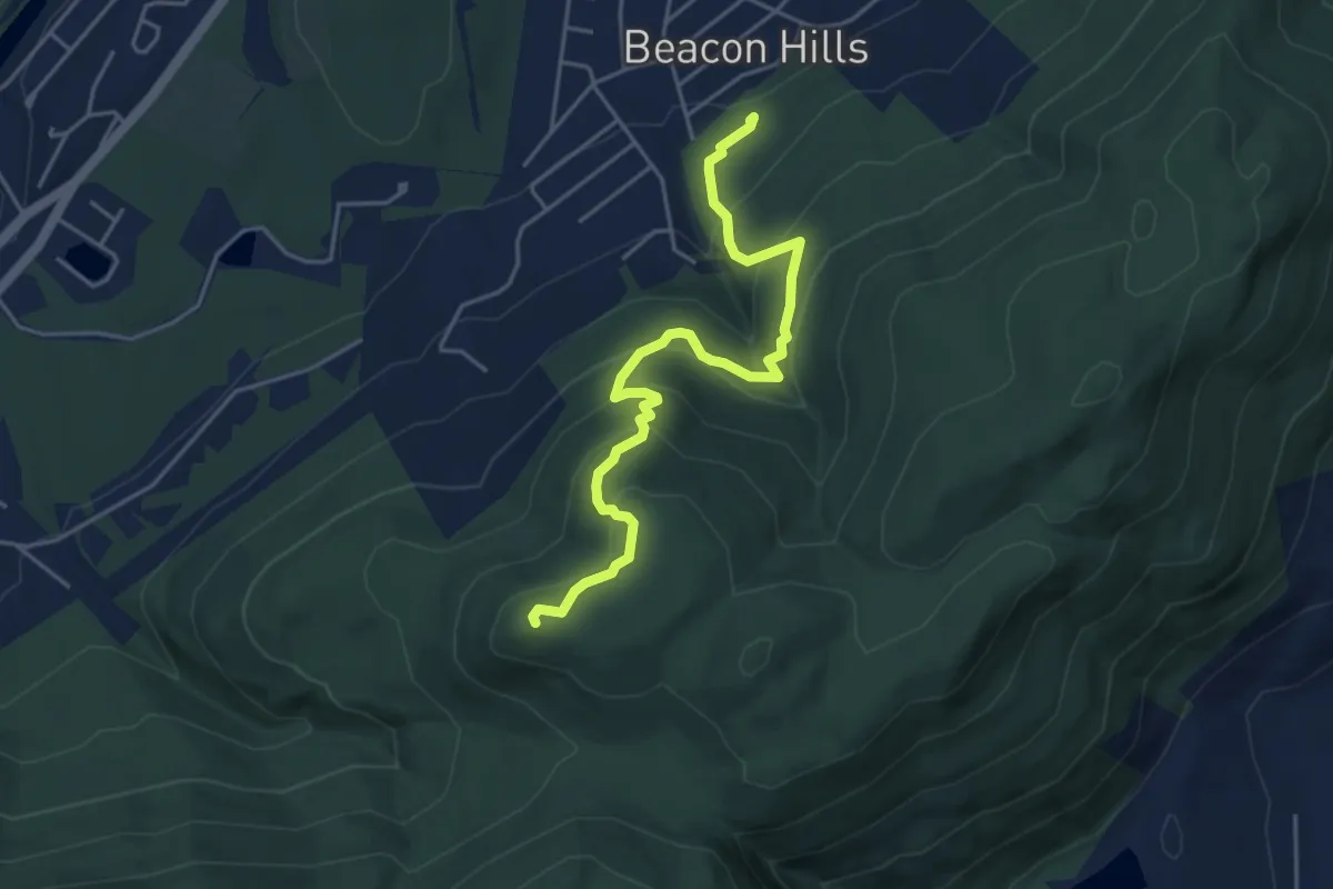
Medium · Trail
Overlook Trail
5.3 km · ↑ 370 m · 2 h 3 min
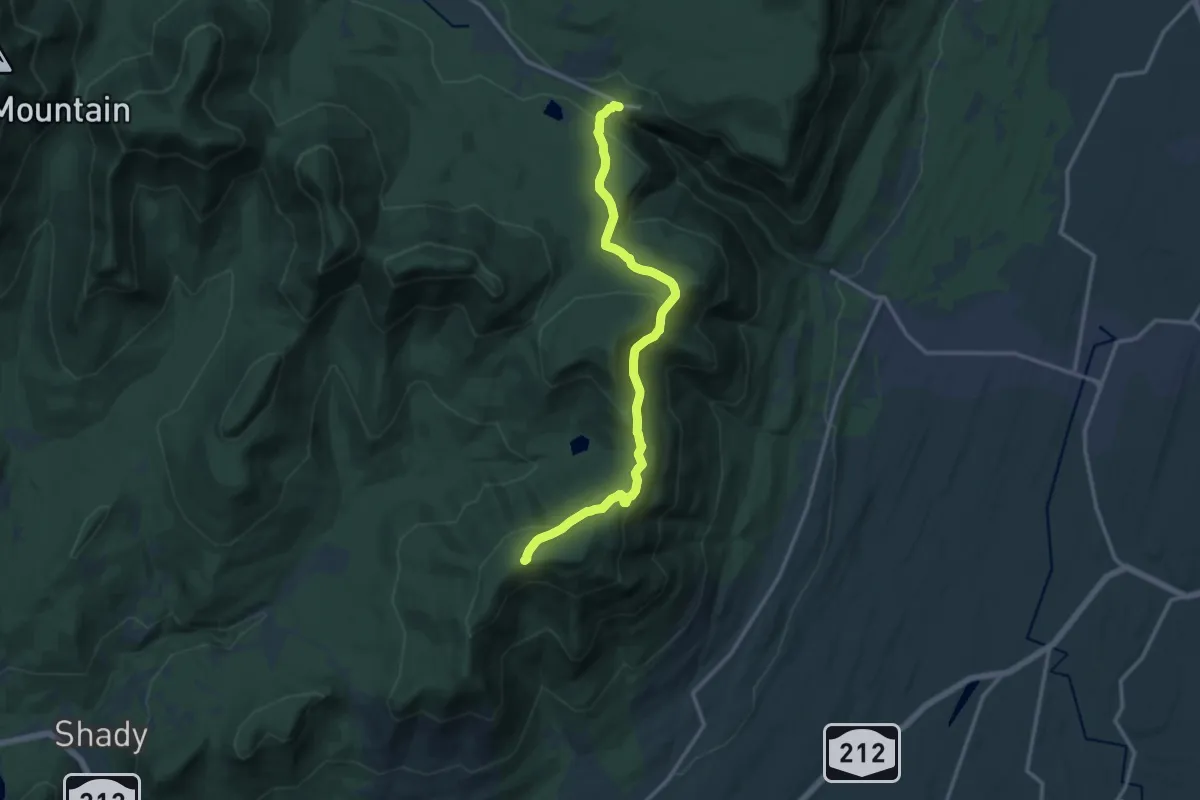
Medium · Trail
Overlook Trail
14.7 km · ↑ 434 m · 4 h 24 min
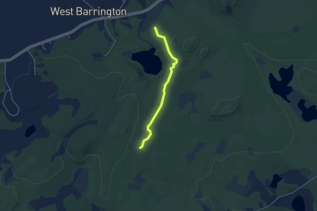
Easy · Trail
Overlook Trail
3.2 km · ↑ 82 m · 56 min
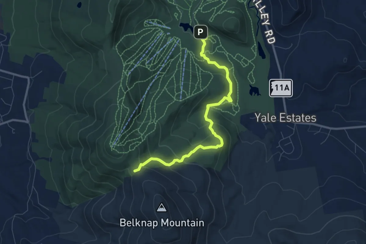
Medium · Trail
Overlook Trail
8.5 km · ↑ 341 m · 2 h 45 min
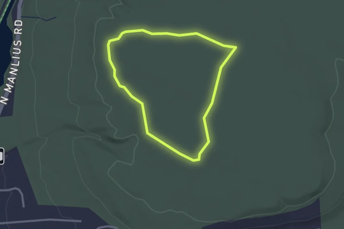
Easy · Trail
Overlook Trail
2.2 km · ↑ 5 m · 33 min
Easy · Trail
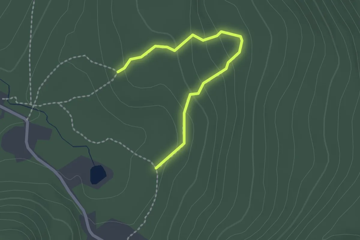
Overloop Trail
2.2 km · ↑ 97 m · 44 min
Medium · Trail
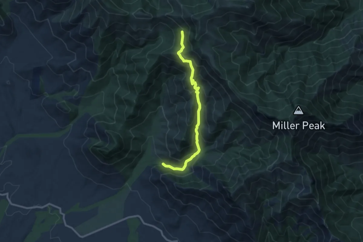
Oversite Canyon Trail #112
8.5 km · ↑ 635 m · 3 h 23 min
Easy · Trail
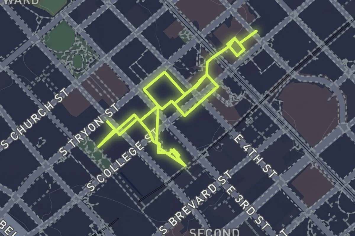
Overstreet Mall
4.6 km · ↑ 8 m · 1 h 6 min
Medium · Trail
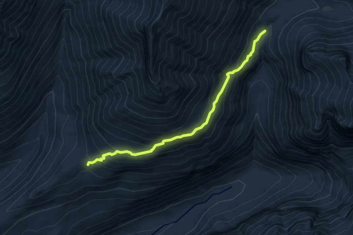
Over The Hill Trail
6.4 km · ↑ 414 m · 2 h 25 min
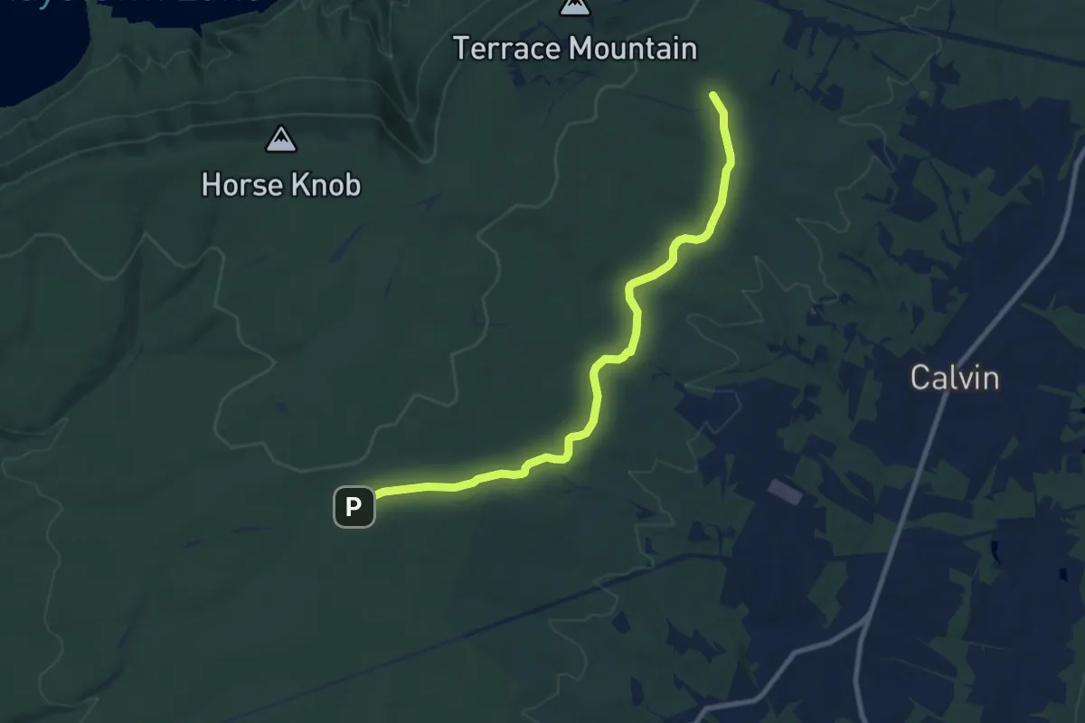
Medium · Trail
Over There Trail
10.7 km · ↑ 143 m · 2 h 50 min
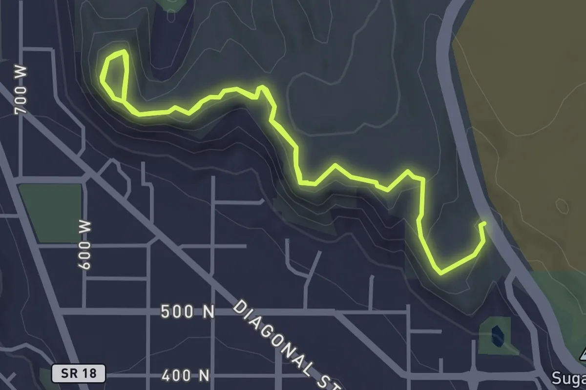
Easy · Trail
Owen's Loop
6.5 km · ↑ 182 m · 1 h 56 min
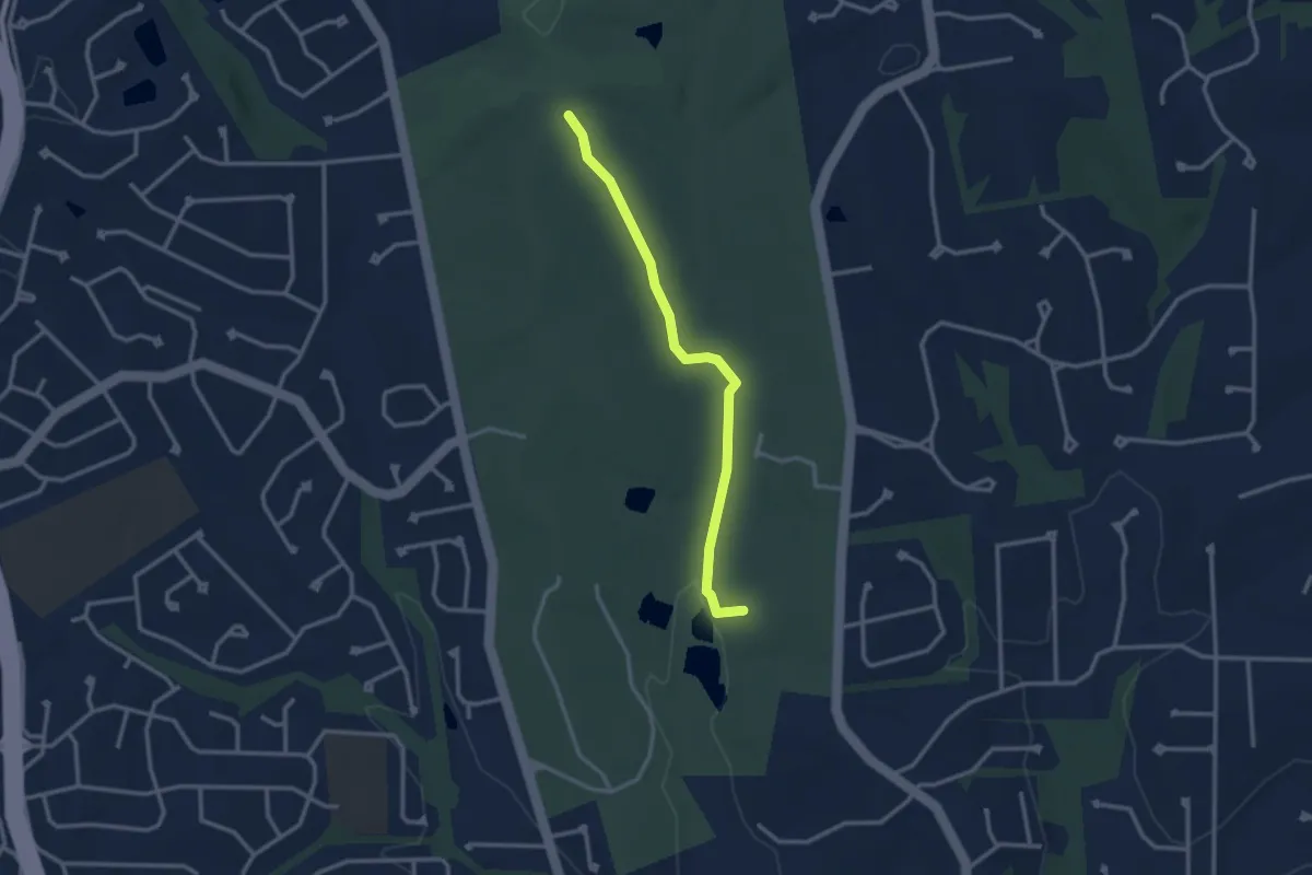
Easy · Trail
Owl Creek Trail
3.2 km · ↑ 48 m · 51 min
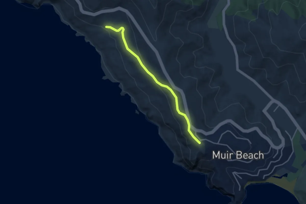
Easy · Trail
Owl Trail
3.3 km · ↑ 100 m · 1 h
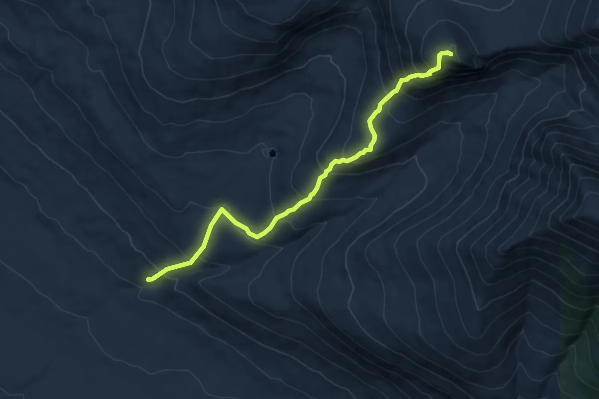
Medium · Summit
Owl Trail
6.2 km · ↑ 639 m · 2 h 50 min
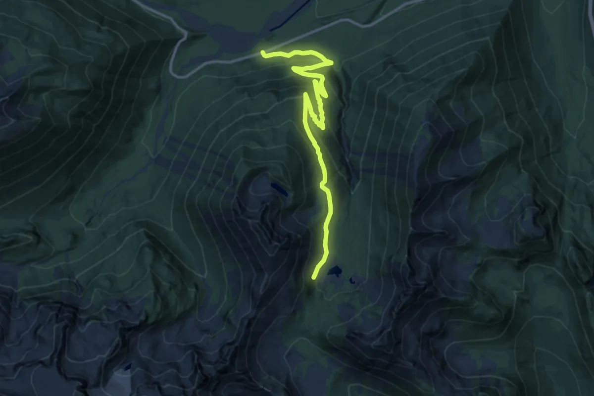
Medium · Trail
Owyhigh Lakes Trail
11.3 km · ↑ 481 m · 3 h 43 min
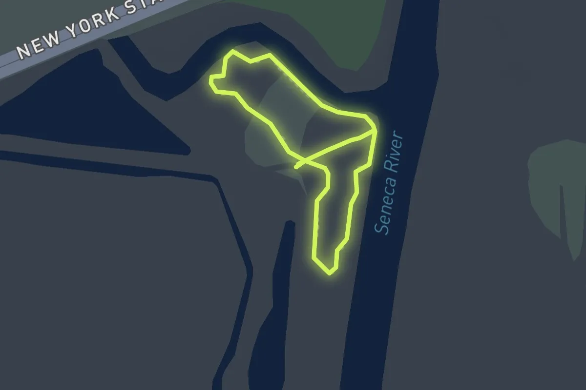
Easy · Trail
Oxbow Trail
3.1 km · ↑ 0 m · 45 min
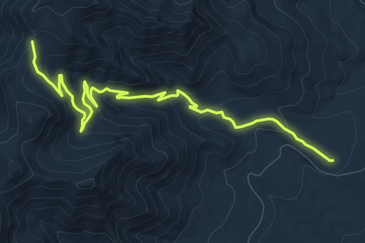
Medium · Trail
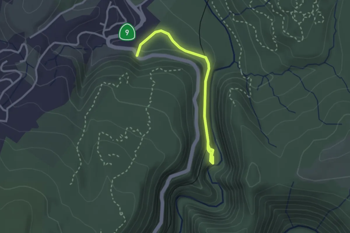
Ox Canyon Trail
11.9 km · ↑ 506 m · 3 h 55 min
Easy · Trail
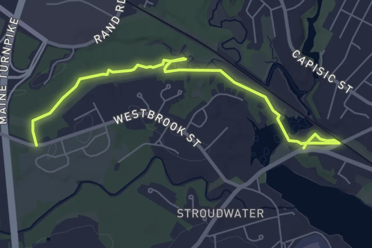
Ox Fire Road
2.8 km · ↑ 77 m · 50 min
Easy · Trail
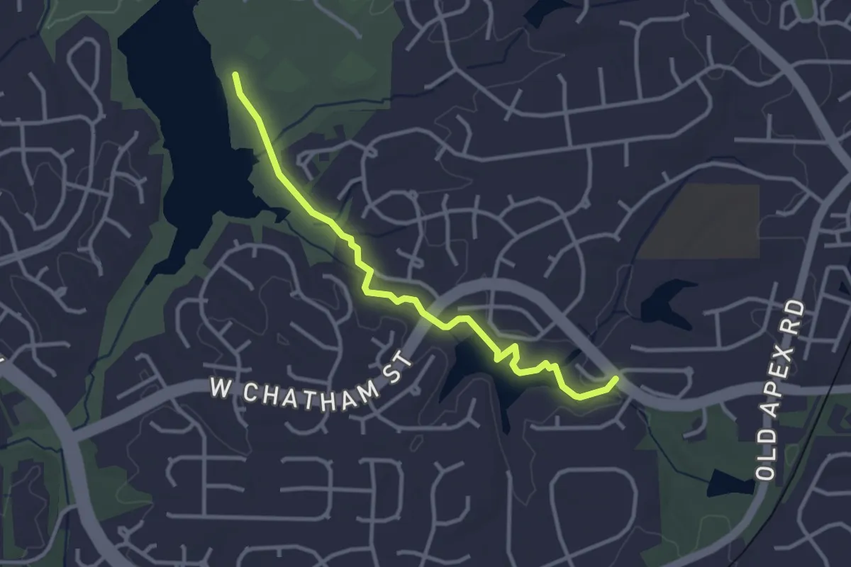
Oxford Cumberland Canal Trail
6.3 km · ↑ 39 m · 1 h 34 min
Easy · Trail
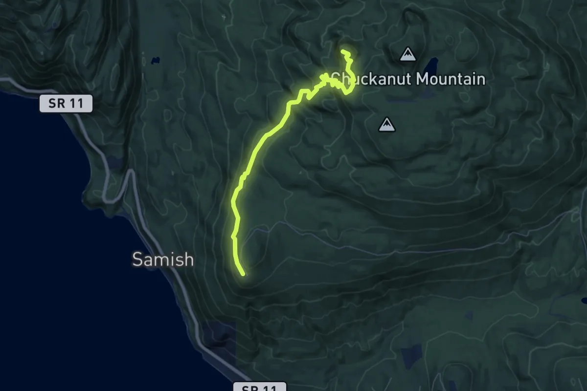
Oxxford Hunt Greenway
3.7 km · ↑ 14 m · 54 min
Medium · Trail
Oyster Dome Trail
6.4 km · ↑ 363 m · 2 h 18 min
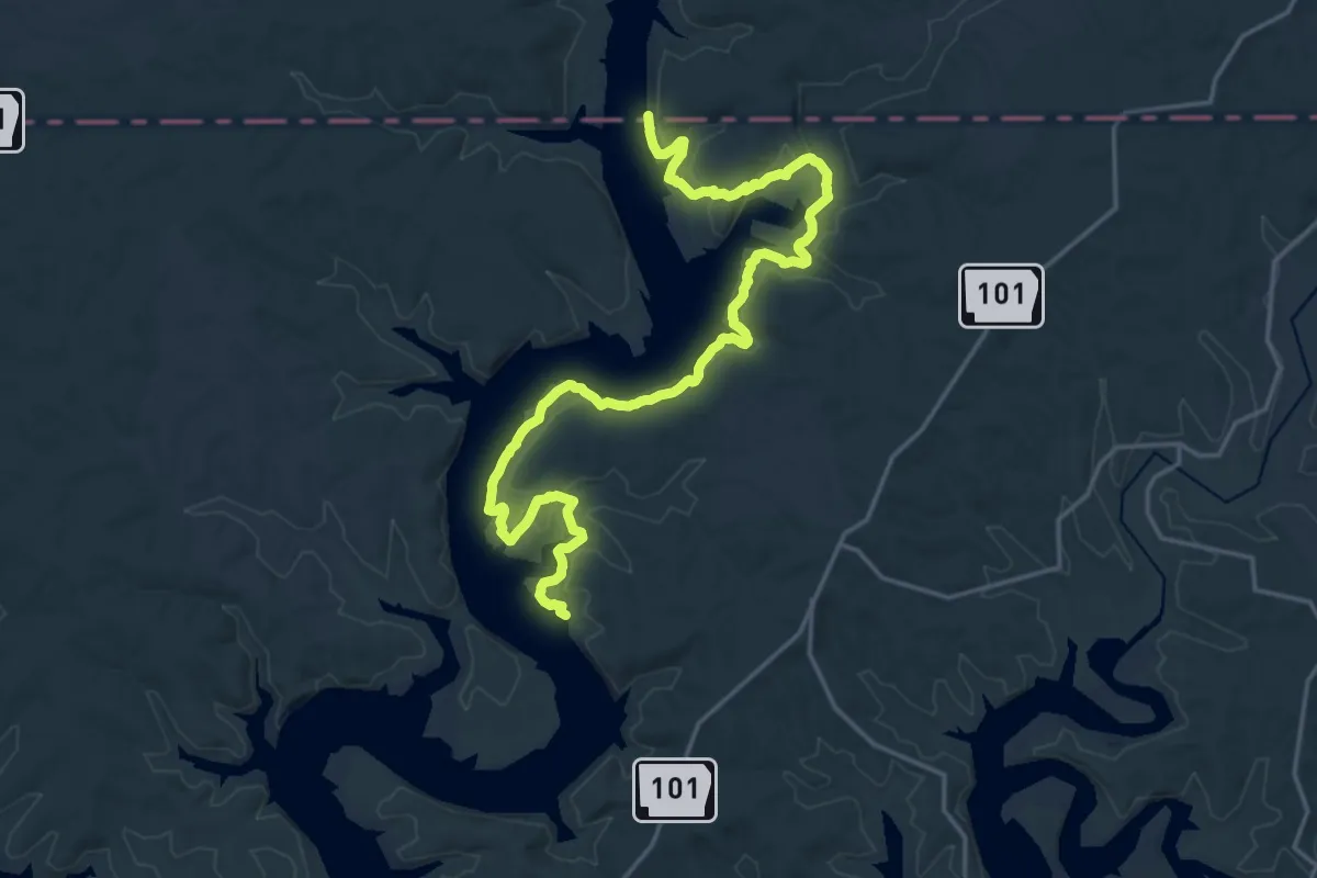
Demanding · Trail
Ozarks Keystone Trail
27.6 km · ↑ 415 m · 7 h 25 min
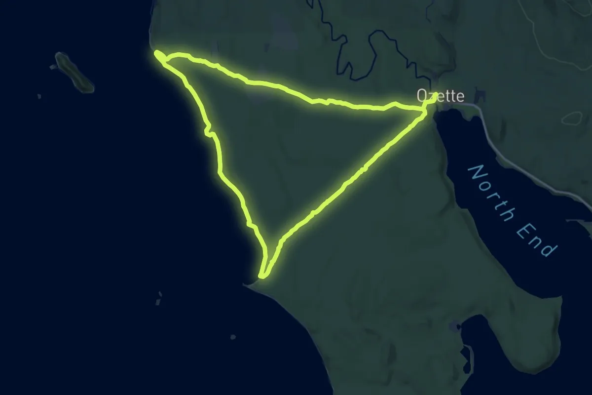
Medium · Trail
Ozette Loop
13.8 km · ↑ 210 m · 3 h 55 min
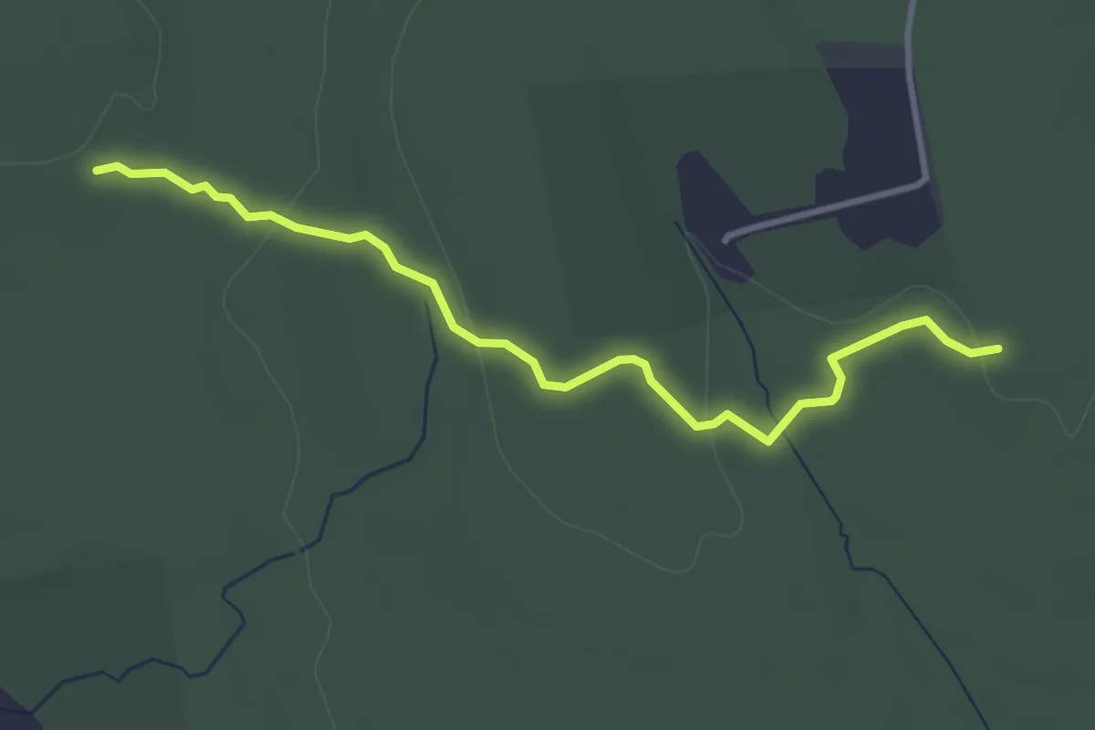
Easy · Trail
Pachaug - Nehantic Crossover
3.9 km · ↑ 57 m · 1 h 2 min
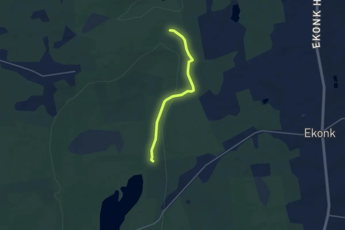
Easy · Trail
Pachaug - Quinebaug Crossover #1
3.0 km · ↑ 36 m · 48 min
Easy · Trail
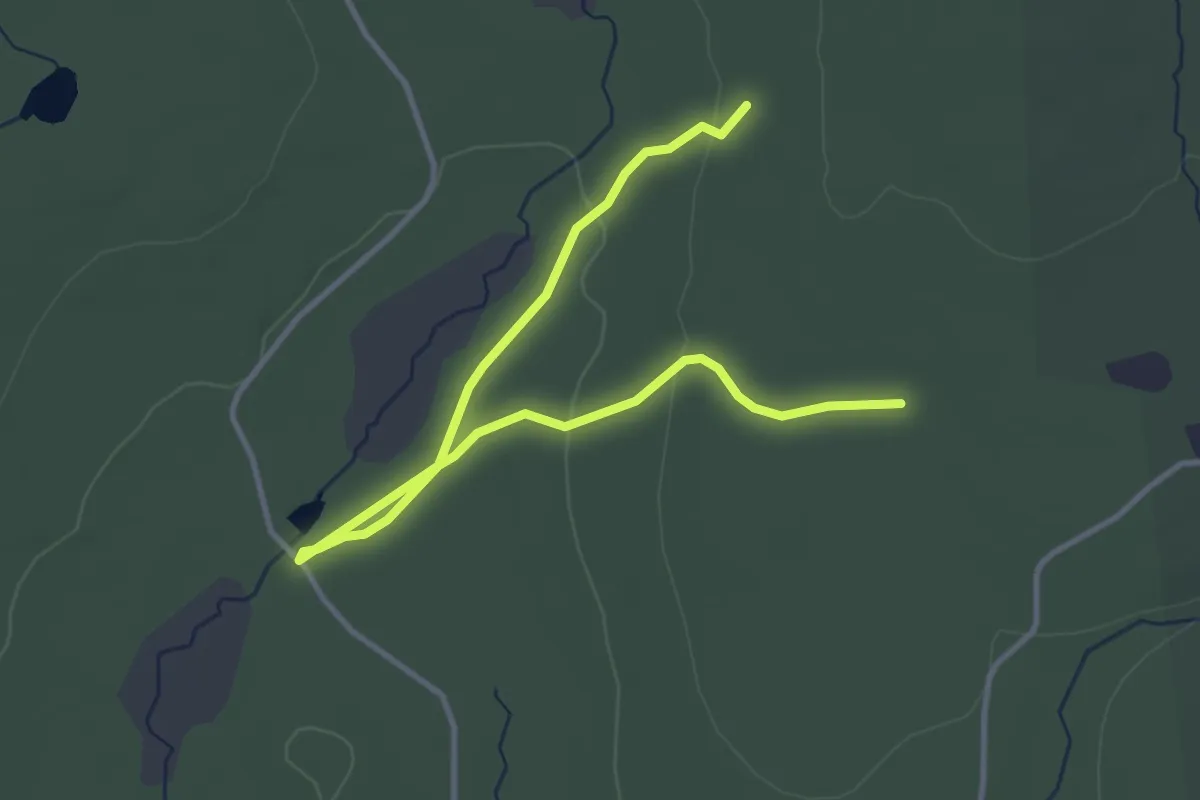
Pachaug - Quinebaug Crossover #2
4.9 km · ↑ 74 m · 1 h 19 min
Medium · Trail
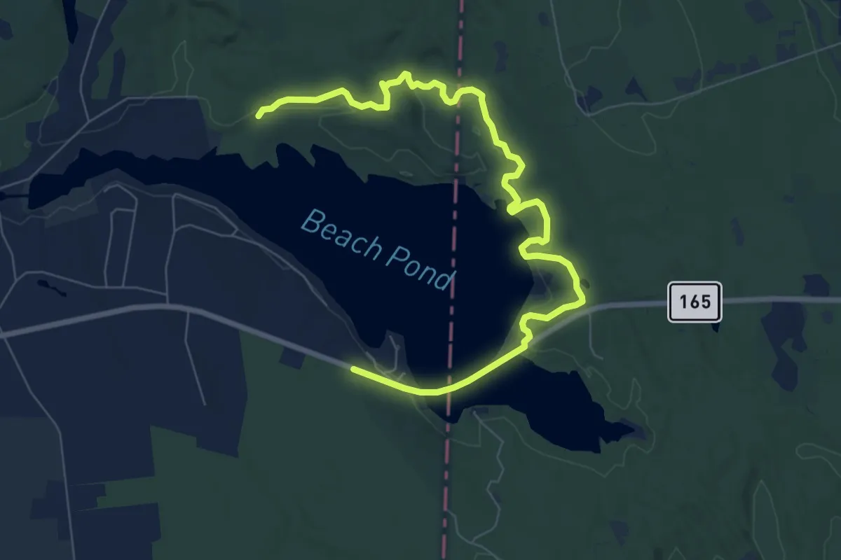
Pachaug Trail
10.1 km · ↑ 148 m · 2 h 42 min
Easy · Trail
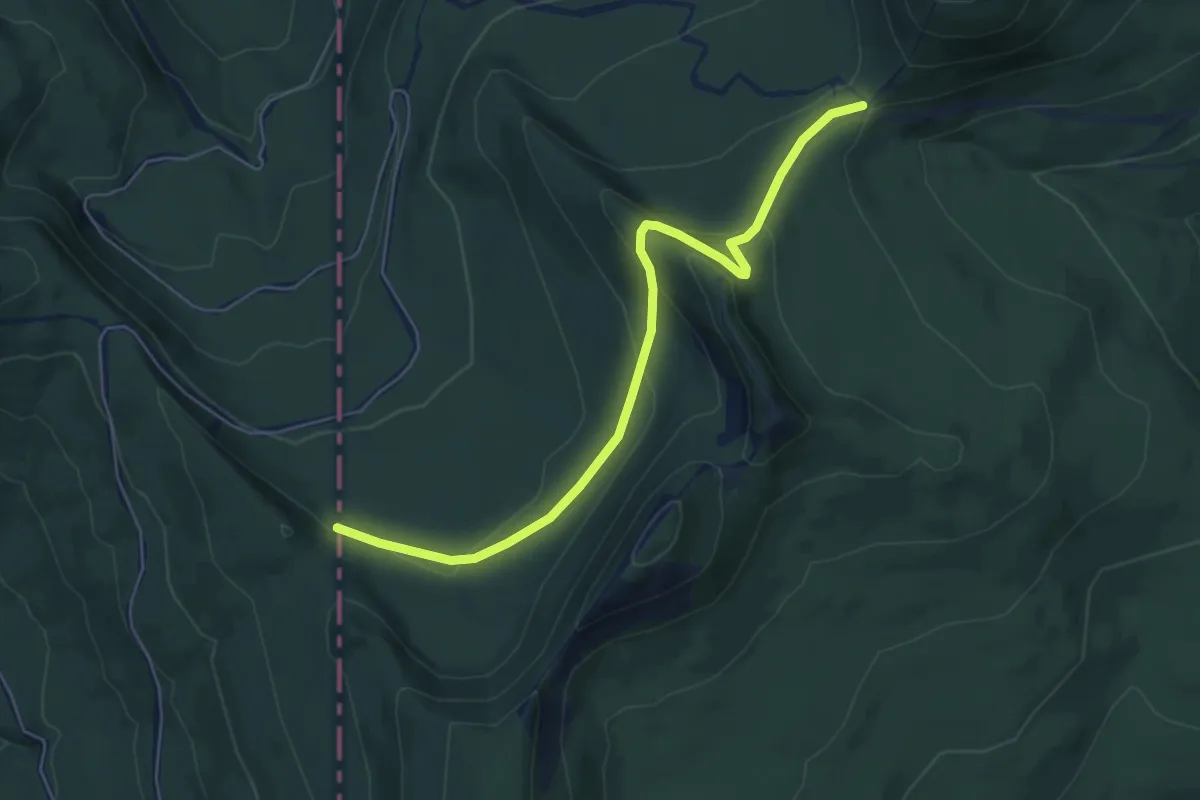
Pacific Northwest Trail 01 Montana
6.0 km · ↑ 265 m · 2 h
Easy · Trail
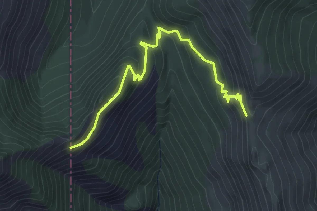
Pacific Northwest Trail 02 Idaho
5.2 km · ↑ 243 m · 1 h 45 min