Trails in United States
10,367 hiking trails, each with its route, climb, walking time and grade.
All trails, page 161 of 216
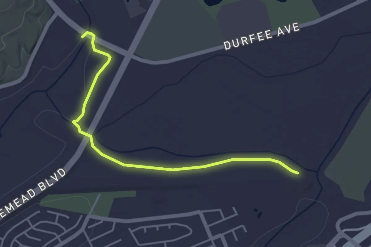
Easy · Trail
Rio Hondo San Gabriel River Trail Connector
4.7 km · ↑ 4 m · 1 h 7 min
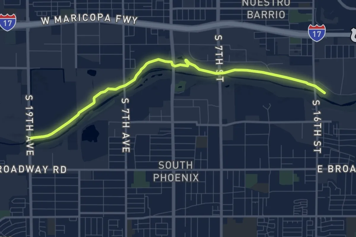
Medium · Trail
Rio Salado Habitat Restoration Area Walking Path
11.6 km · ↑ 26 m · 2 h 48 min
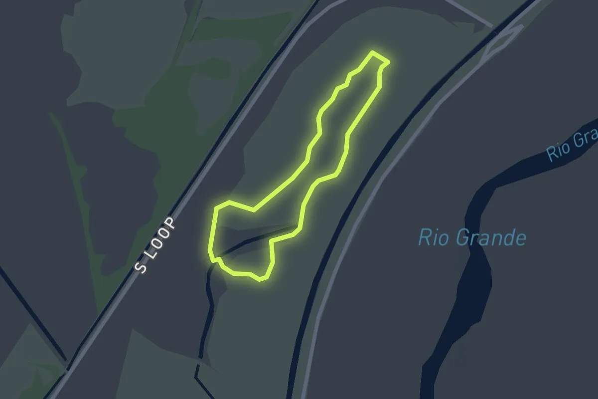
Easy · Trail
Rio Viejo Trail
2.1 km · ↑ 0 m · 31 min
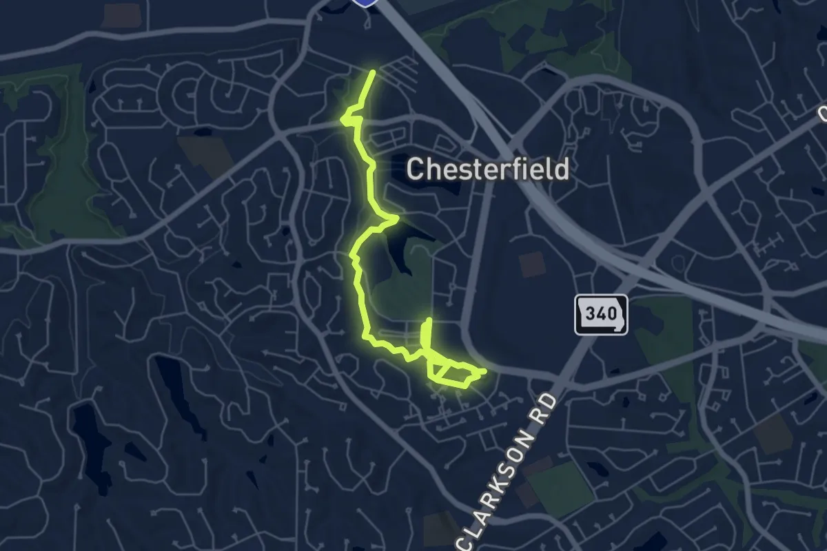
Medium · Trail
Riparian Trail
8.2 km · ↑ 56 m · 2 h 4 min
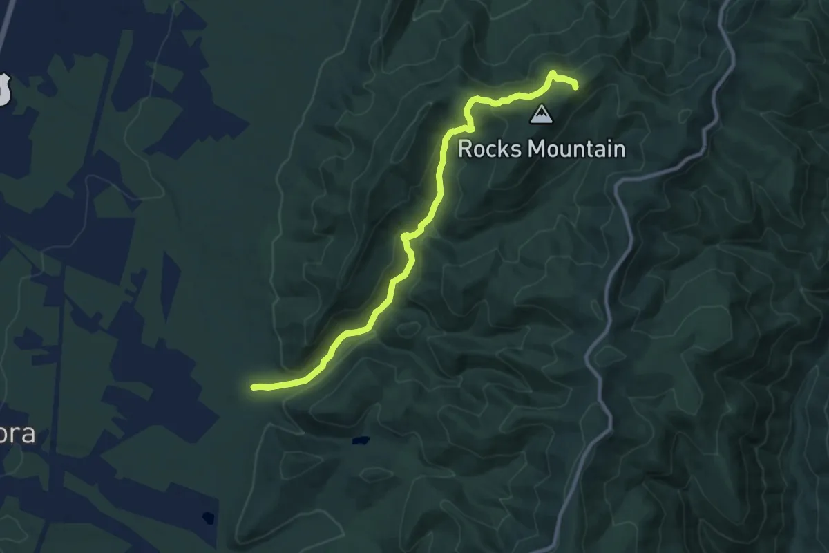
Medium · Summit
Riprap Trail
11.2 km · ↑ 427 m · 3 h 35 min
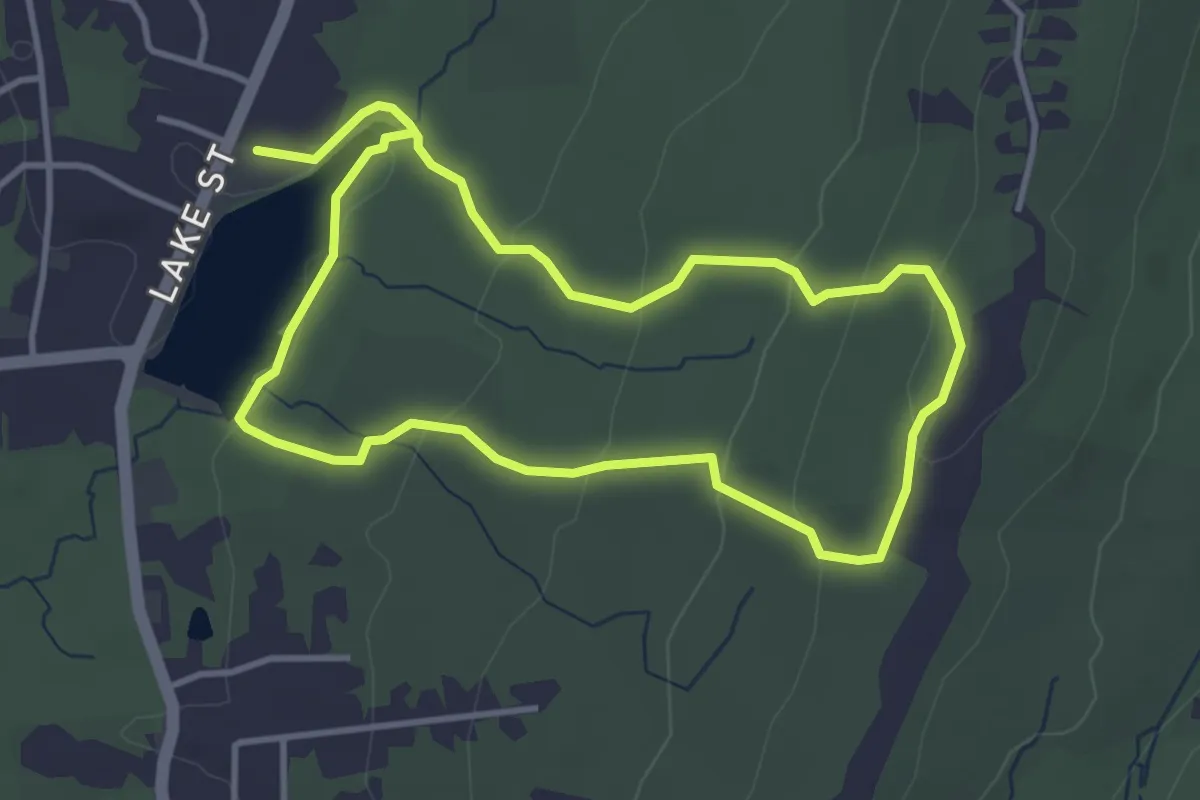
Easy · Trail
Risley Pond Loop Trail
3.8 km · ↑ 108 m · 1 h 11 min
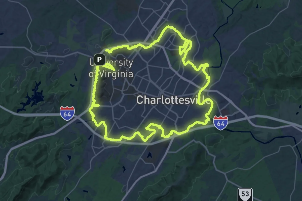
Demanding · Trail
Rivanna Trail Loop
34.1 km · ↑ 368 m · 9 h 19 min
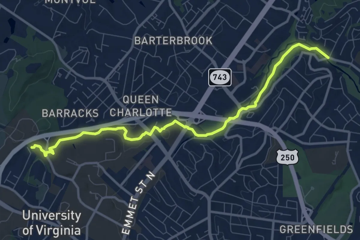
Medium · Trail
Rivanna Trail (RTF)
10.4 km · ↑ 98 m · 2 h 40 min
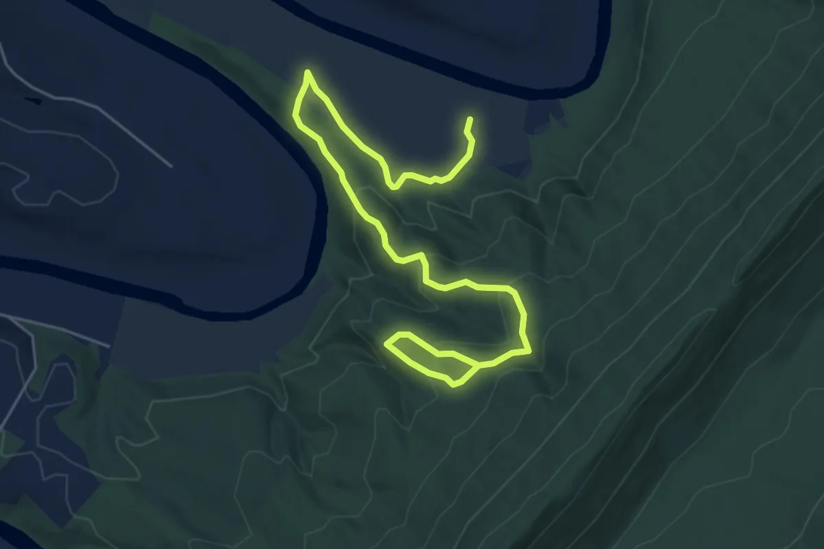
Easy · Trail
Riverbend Rise Trail
7.5 km · ↑ 316 m · 2 h 27 min
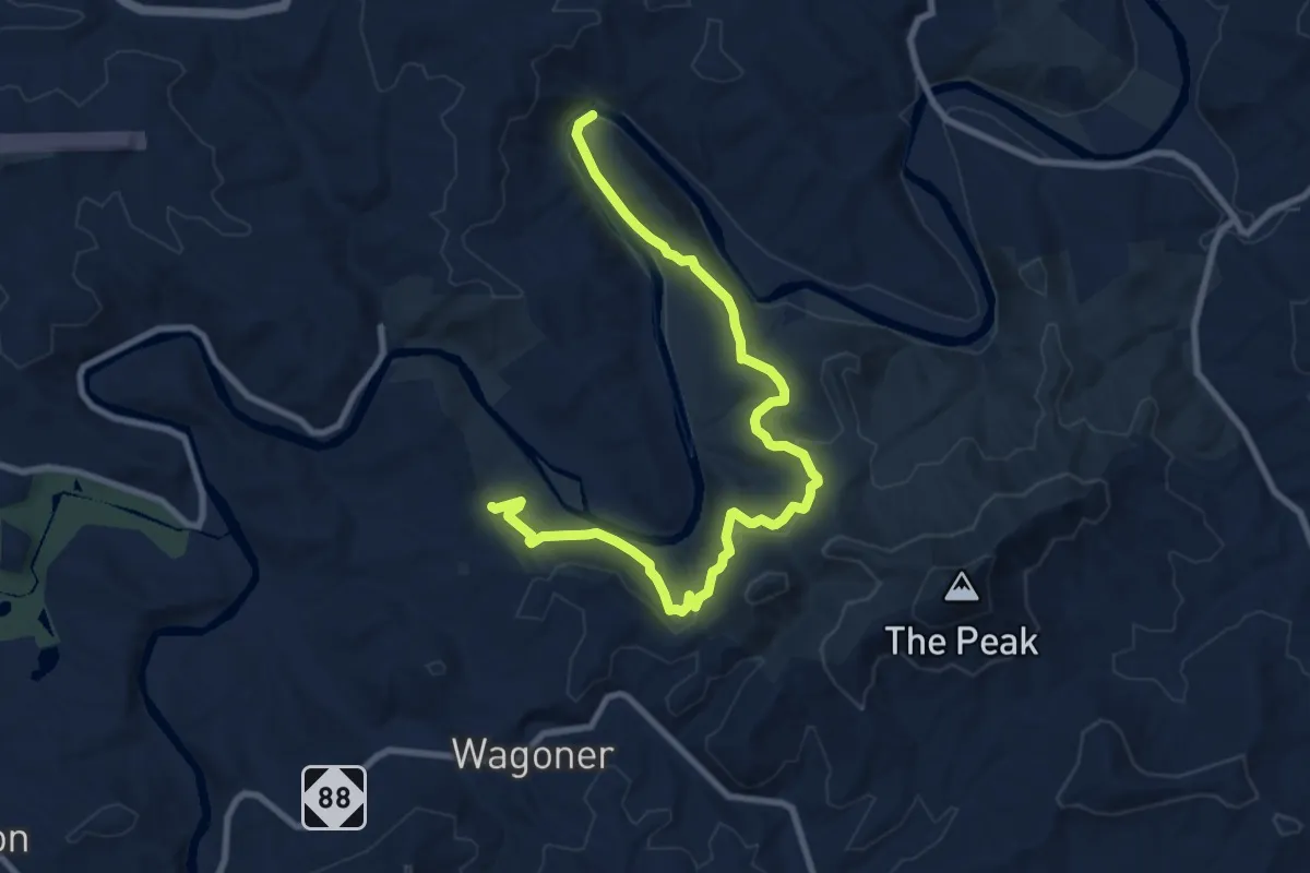
Medium · Trail
Riverbend Trail
11.9 km · ↑ 327 m · 3 h 31 min
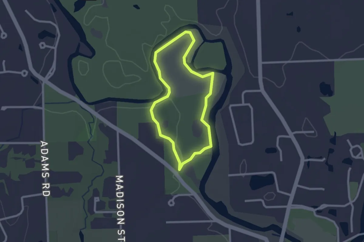
Easy · Trail
Riverbend Trail
2.0 km · ↑ 10 m · 32 min
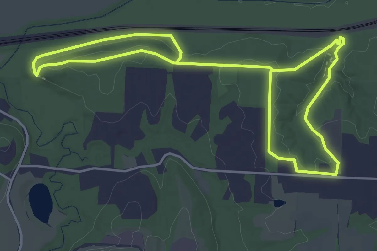
Medium · Trail
River Bluff Nature Trail
7.8 km · ↑ 165 m · 2 h 13 min
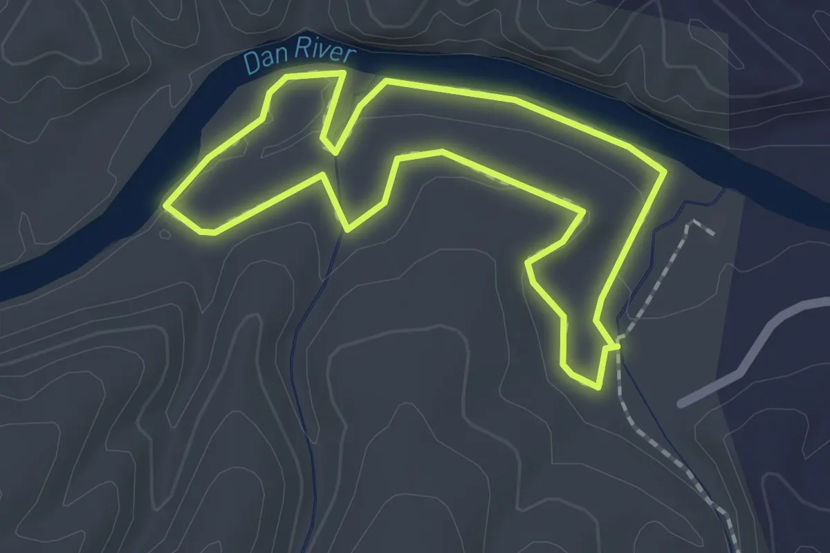
Easy · Trail
Riverbluffs Trail
1.9 km · ↑ 10 m · 30 min
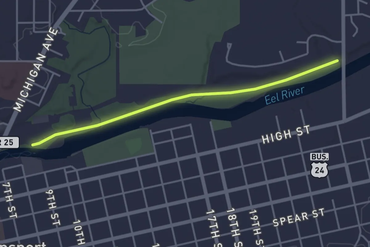
Easy · Trail
River Bluff Trail
3.9 km · ↑ 13 m · 57 min
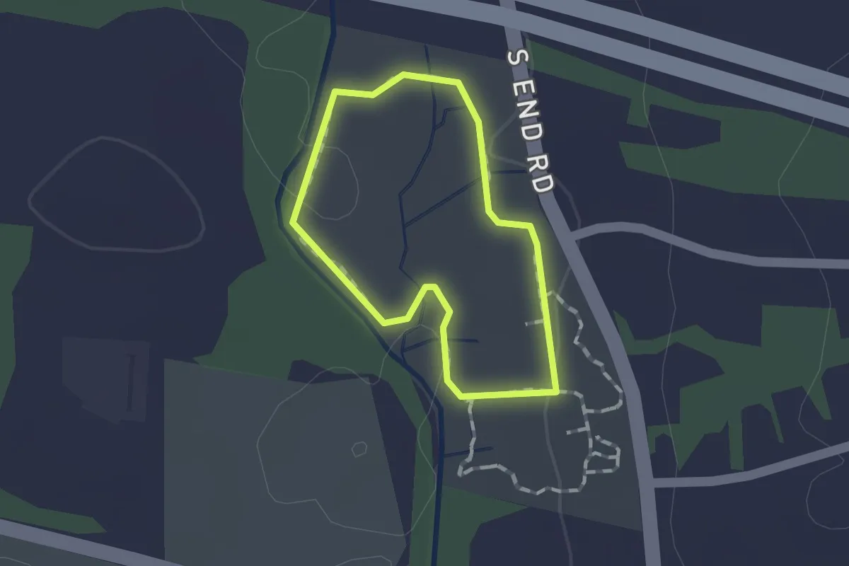
Easy · Trail
Riverbound Orange Trail
1.0 km · ↑ 11 m · 17 min
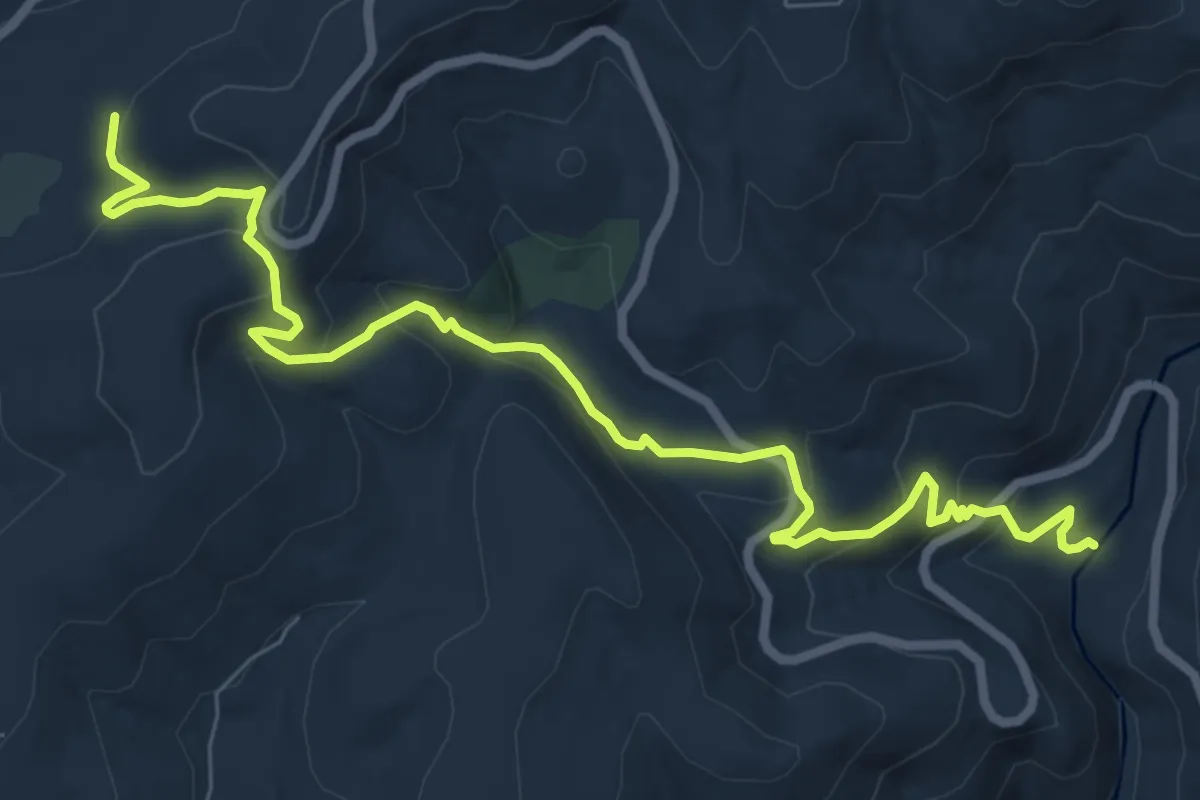
Medium · Trail
River Canyon Trail
10.0 km · ↑ 474 m · 3 h 24 min
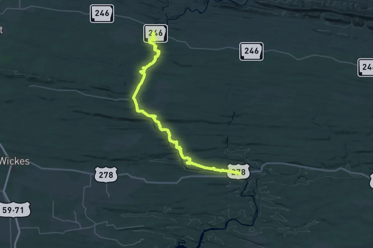
Demanding · Trail
River Corridor Trail
19.0 km · ↑ 493 m · 5 h 51 min
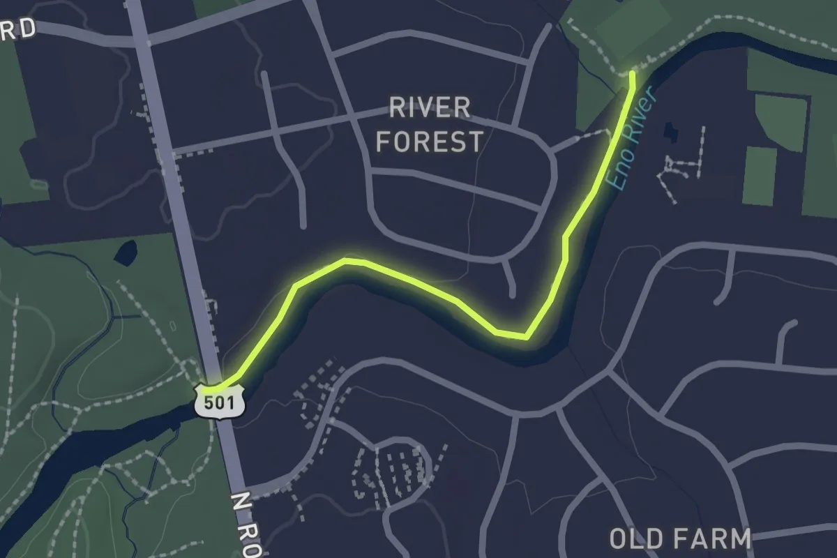
Easy · Trail
River Forest Trail
2.2 km · ↑ 0 m · 32 min
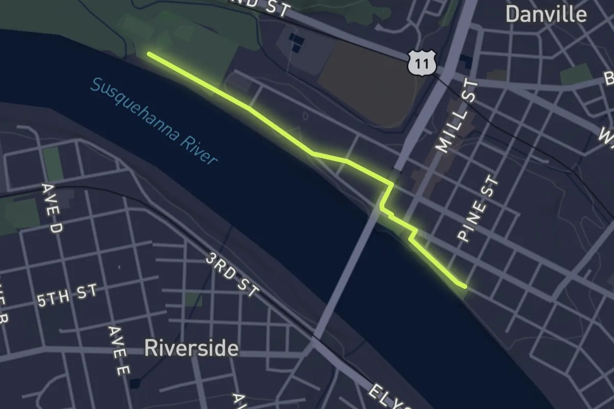
Easy · Trail
Riverfront Trail
3.2 km · ↑ 9 m · 46 min
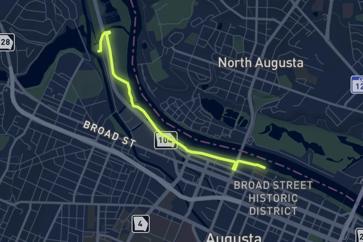
Medium · Trail
River Levee Trail
8.2 km · ↑ 37 m · 2 h 1 min
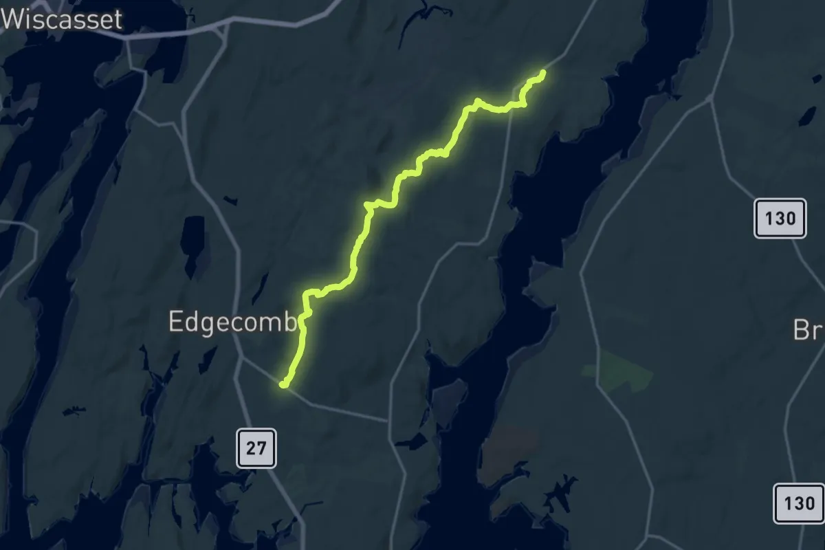
Medium · Trail
River Link
17.4 km · ↑ 367 m · 4 h 54 min
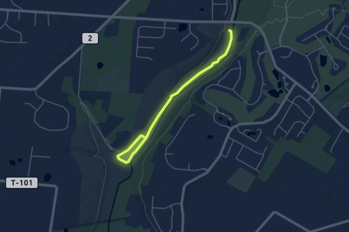
Easy · Trail
River Loop
4.7 km · ↑ 9 m · 1 h 8 min
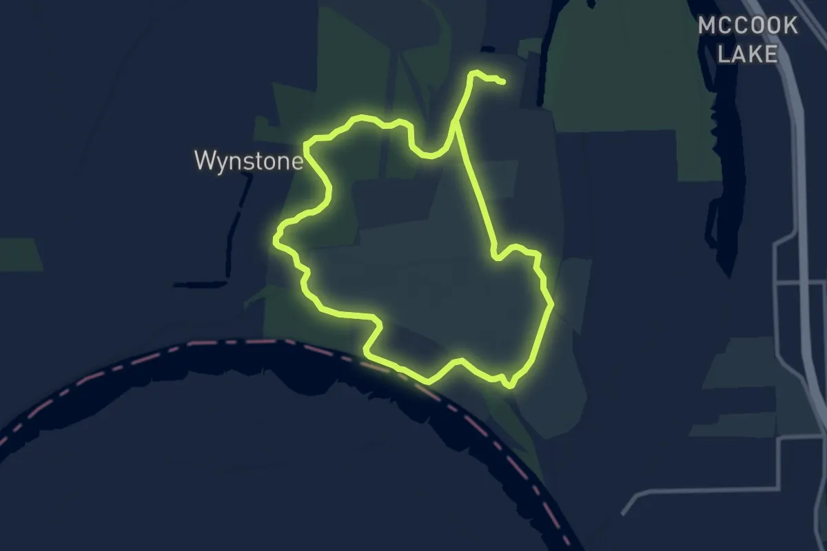
Medium · Trail
River Loop
8.8 km · ↑ 4 m · 2 h 12 min
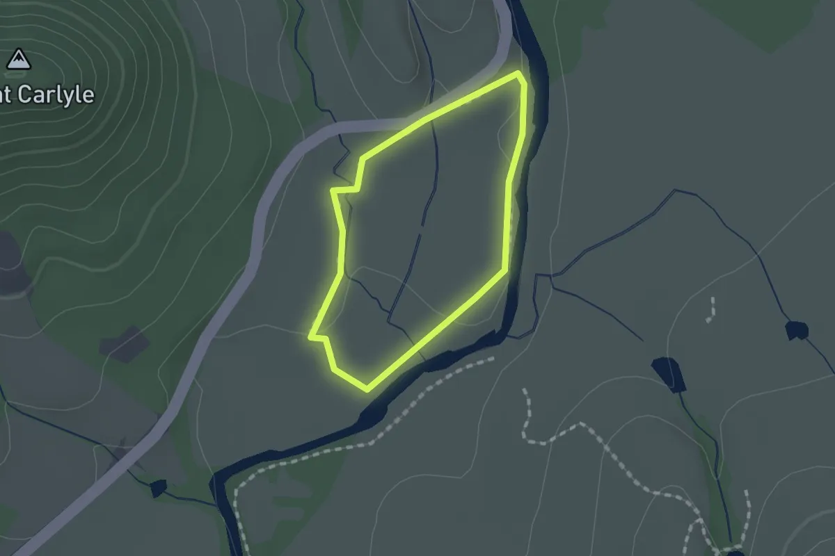
Easy · Trail
River Loop Trail
1.3 km · ↑ 5 m · 20 min
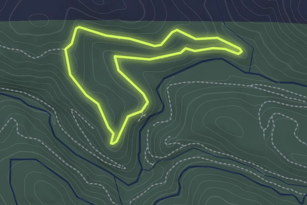
Easy · Trail
River Otter Loop
2.2 km · ↑ 53 m · 39 min
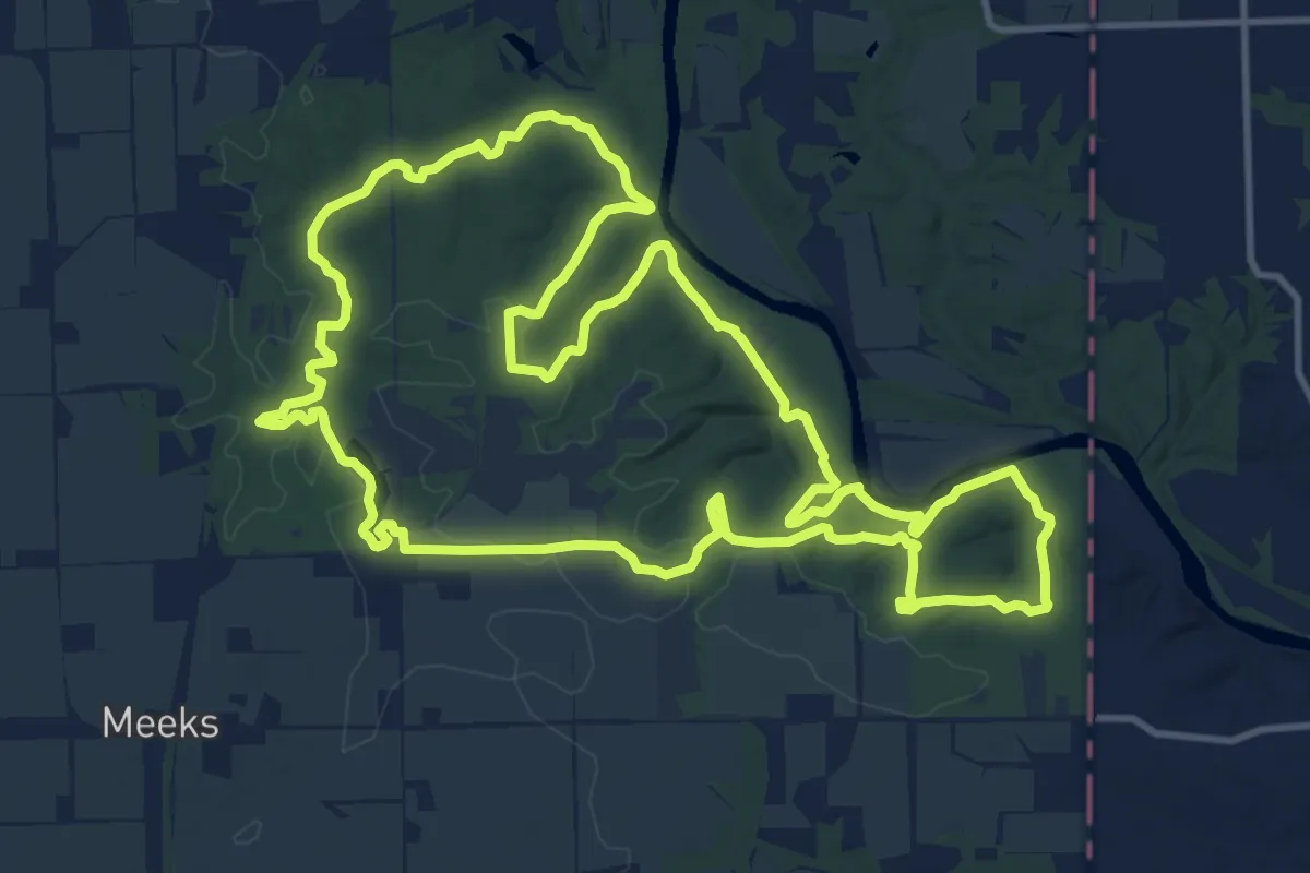
Medium · Trail
River Ridge Back Pack Trail
15.5 km · ↑ 319 m · 4 h 34 min
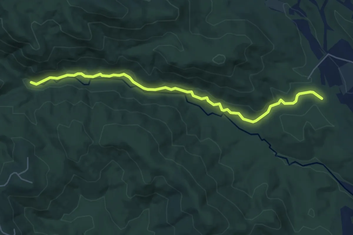
Easy · Trail
River Road
6.3 km · ↑ 97 m · 1 h 42 min
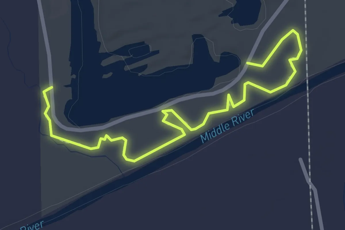
Easy · Trail
Riverside Trail
2.9 km · ↑ 0 m · 42 min
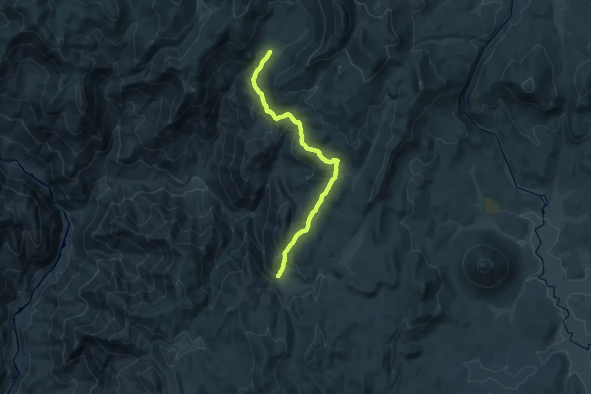
Demanding · Trail
River Springs Trail
21.1 km · ↑ 713 m · 6 h 32 min
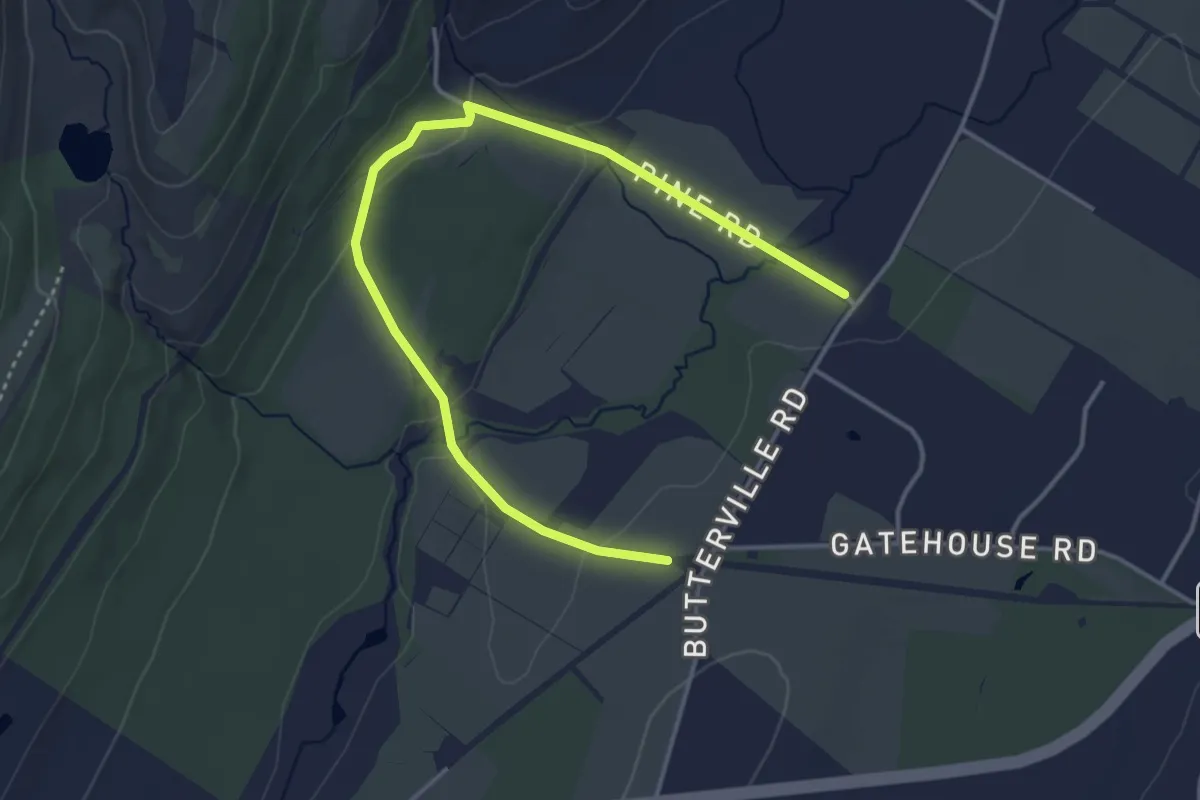
Easy · Trail
River-to-Ridge Trail
5.1 km · ↑ 70 m · 1 h 21 min
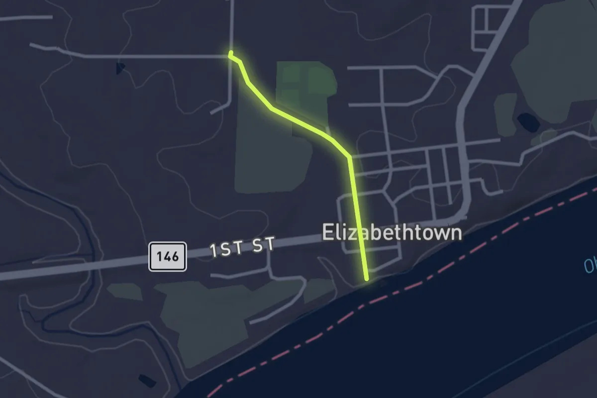
Easy · Trail
River to River Segment 1 - E'Town to Garden of the Gods
2.1 km · ↑ 14 m · 31 min
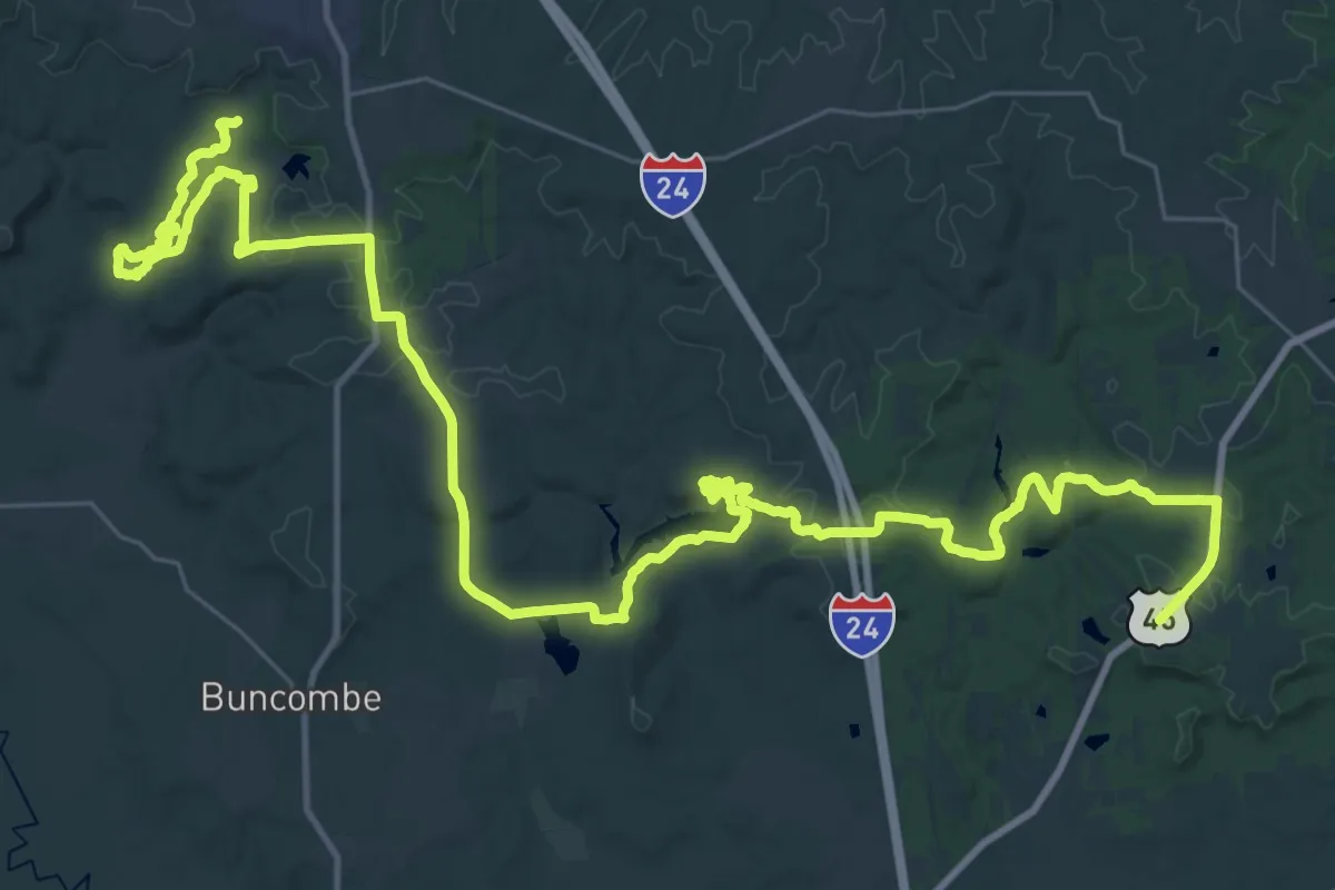
Demanding · Trail
River to River Segment 4 - U.S. 45 to Ferne Clyffe
31.4 km · ↑ 466 m · 8 h 53 min
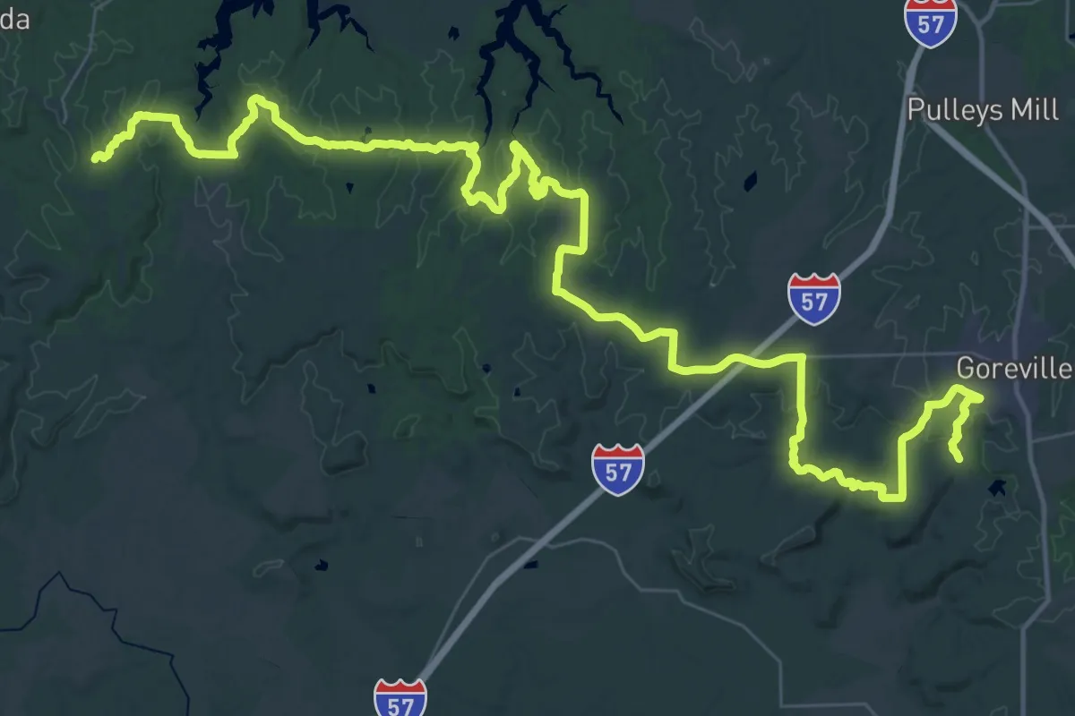
Demanding · Trail
River to River Segment 5 - Ferne Clyffe to Giant City
35.7 km · ↑ 707 m · 10 h 26 min
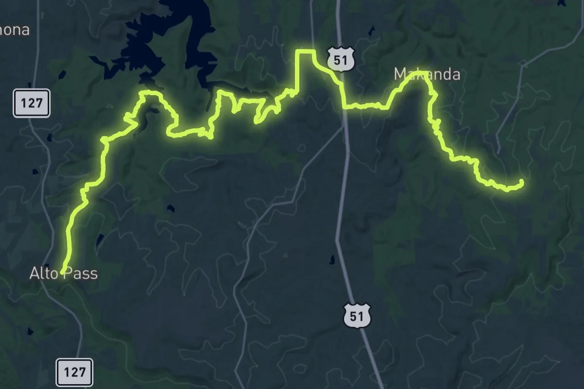
Demanding · Trail
River to River Segment 6 - Giant City to Alto Pass
28.5 km · ↑ 533 m · 8 h 16 min
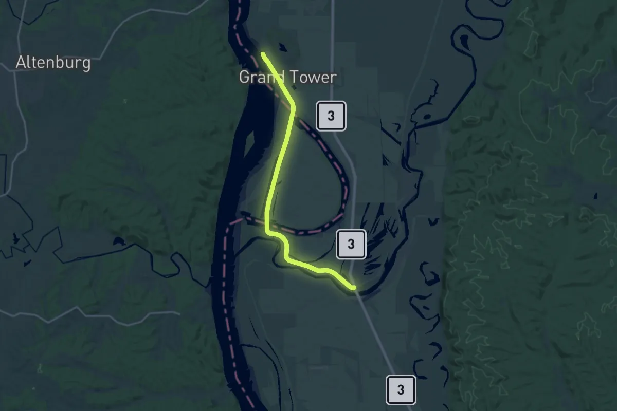
Demanding · Trail
River to River Segment 7 - Alto Pass to Devil's Backbone
20.0 km · ↑ 8 m · 4 h 45 min
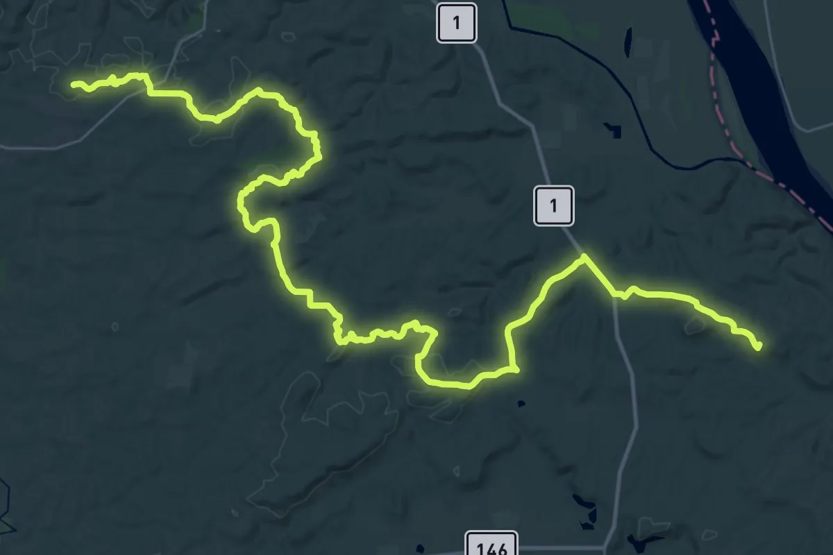
Demanding · Summit
River to River Segment A - Battery Rock Alternate
62.2 km · ↑ 1336 m · 17 h 35 min
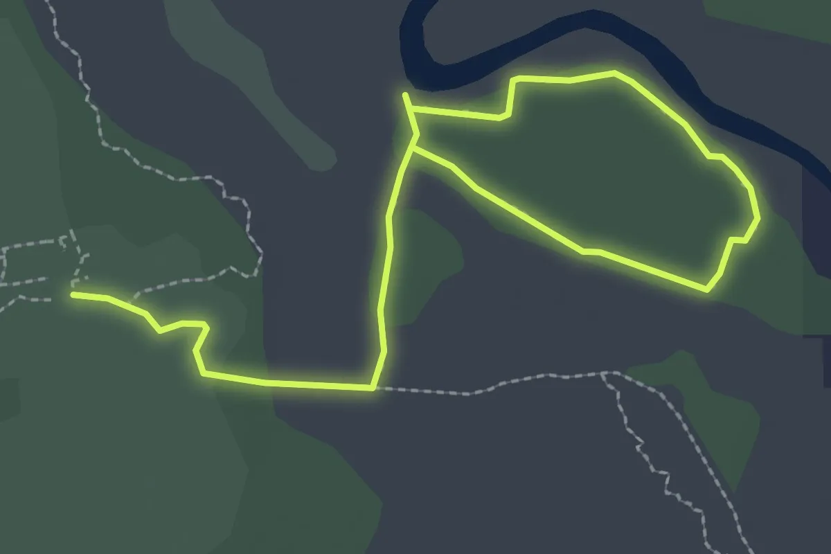
Easy · Trail
River Trail
4.7 km · ↑ 4 m · 1 h 7 min
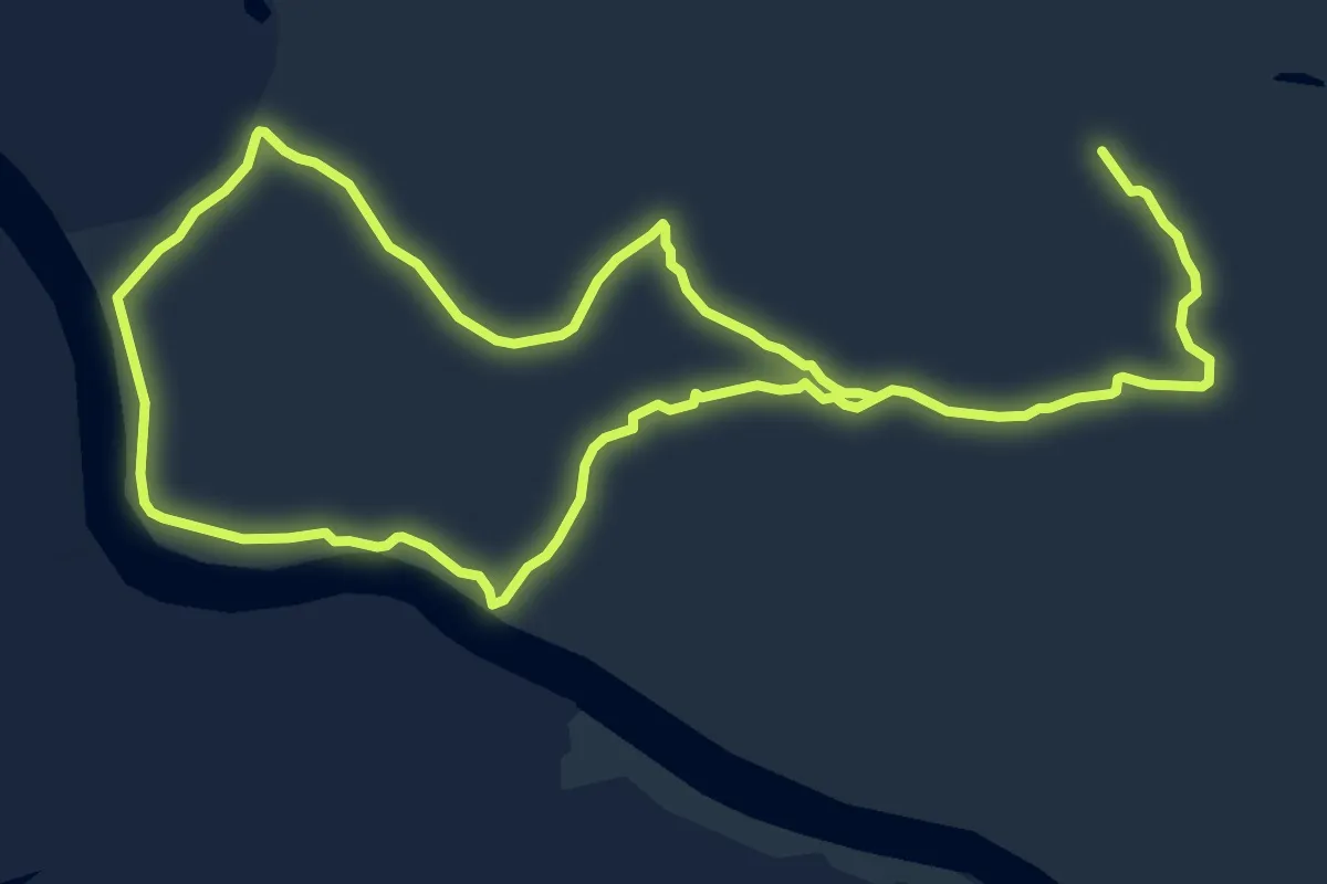
Medium · Trail
River Trail
16.8 km · ↑ 0 m · 3 h 58 min
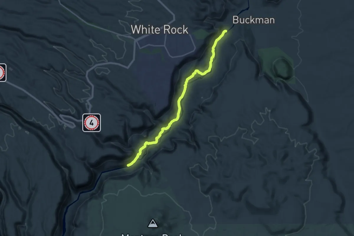
Demanding · Trail
River Trail
19.4 km · ↑ 331 m · 5 h 18 min
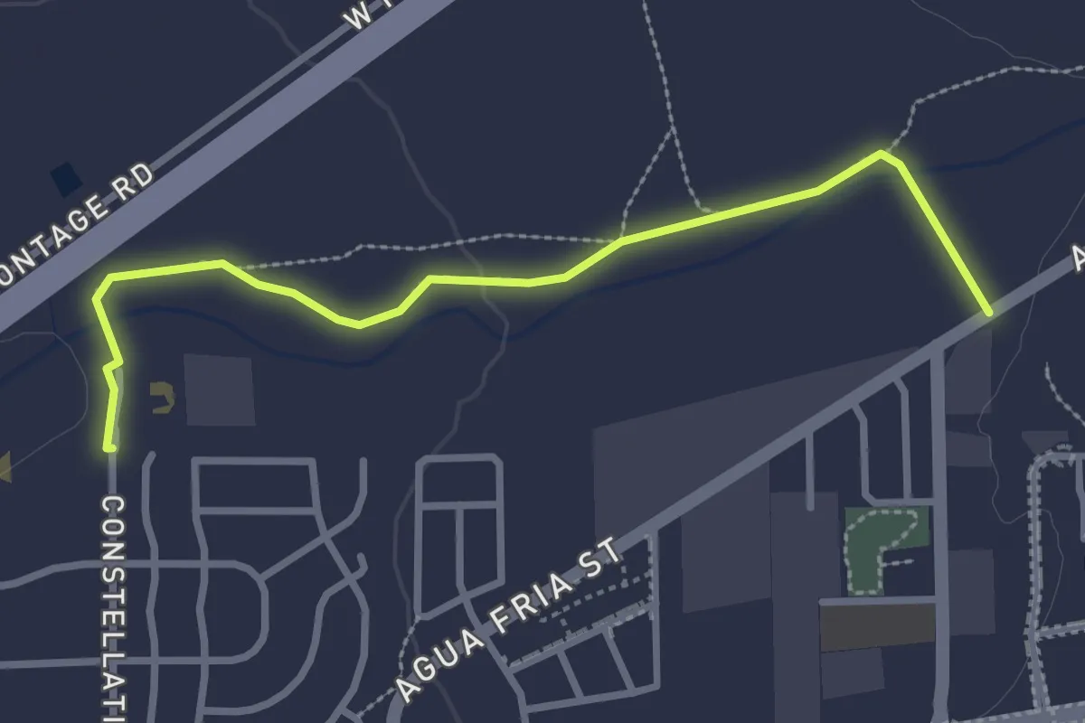
Easy · Trail
River Trail
3.5 km · ↑ 17 m · 52 min
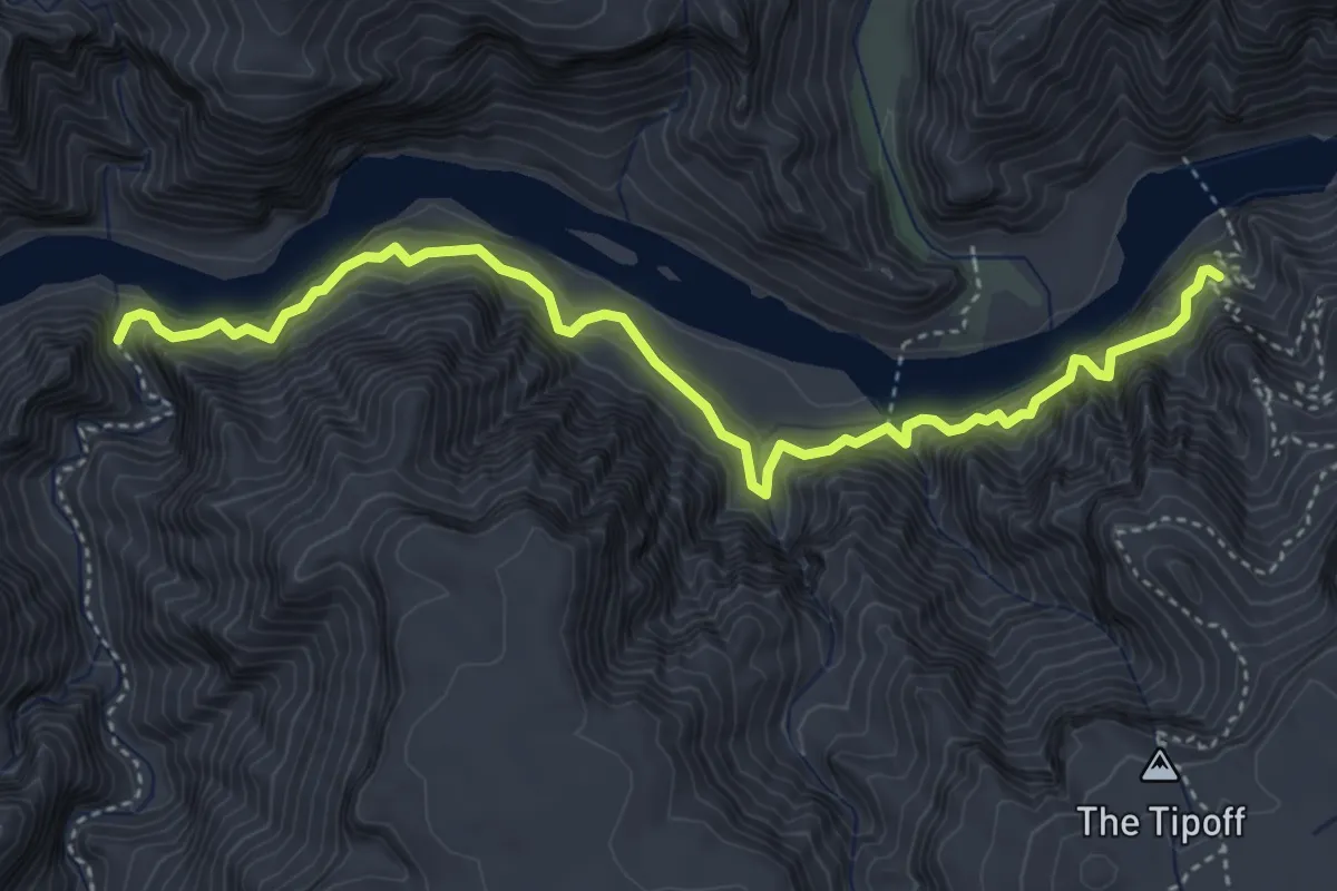
Medium · Trail
River Trail
5.5 km · ↑ 502 m · 2 h 24 min
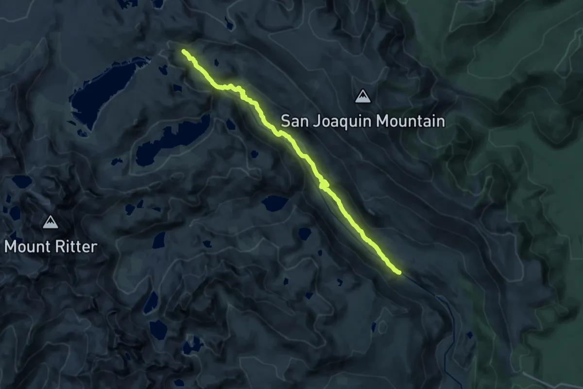
Demanding · Trail
River Trail
18.8 km · ↑ 562 m · 5 h 39 min
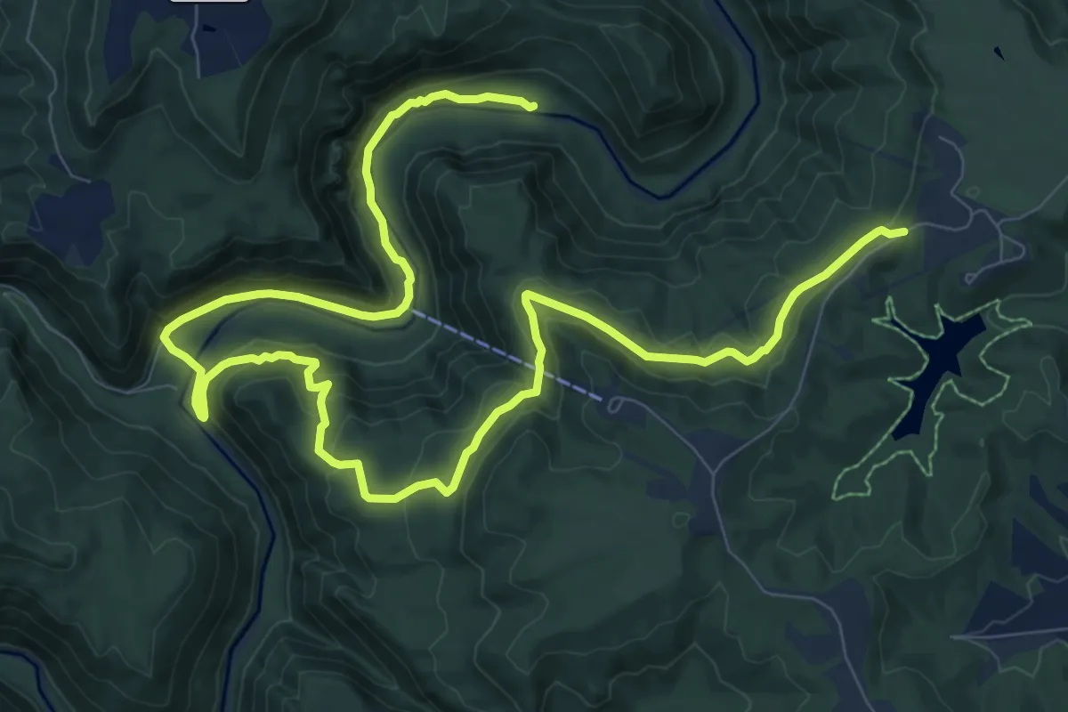
Medium · Trail
River Trail
16.0 km · ↑ 539 m · 4 h 57 min
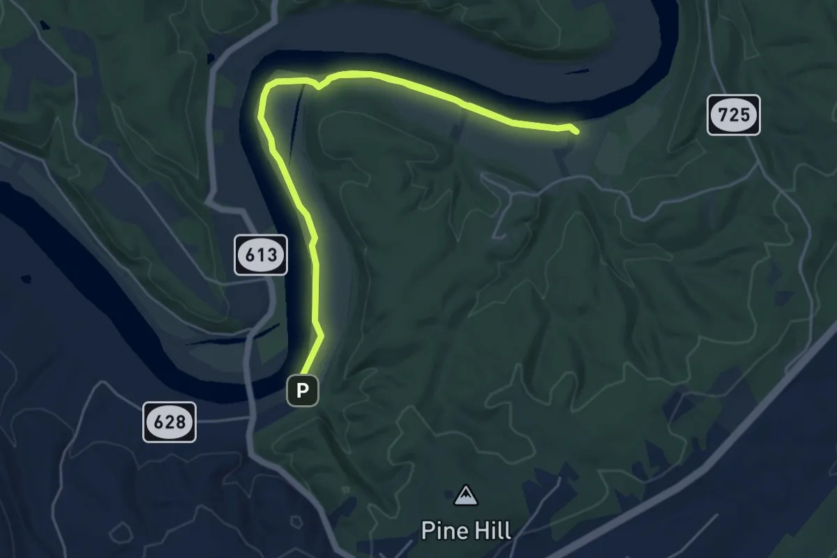
Medium · Trail
River Trail
9.6 km · ↑ 4 m · 2 h 17 min
Medium · Trail
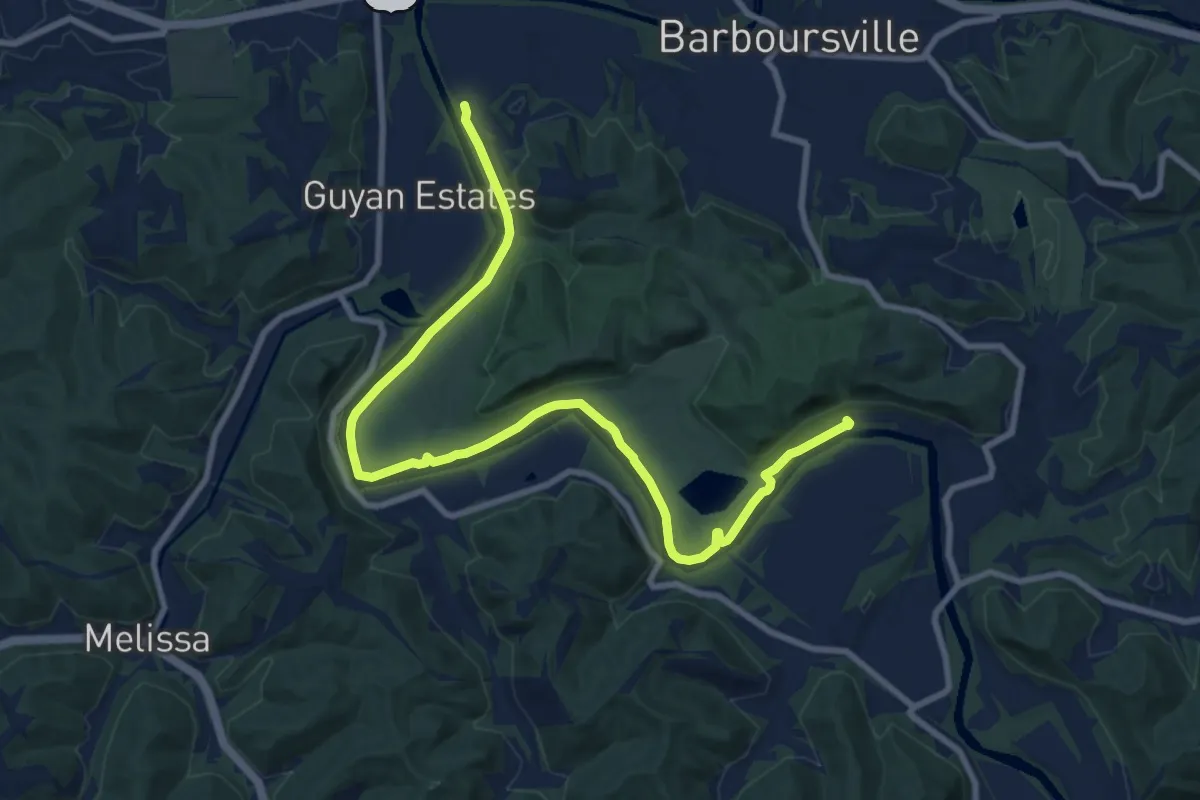
River Trail
12.4 km · ↑ 19 m · 2 h 58 min
Easy · Trail
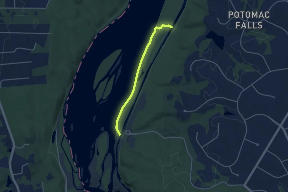
River Trail
3.2 km · ↑ 0 m · 45 min
Easy · Trail
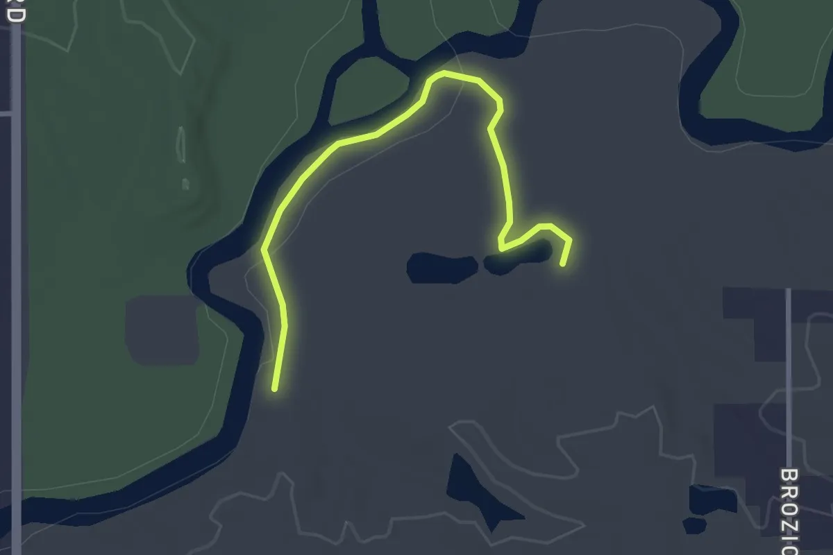
River Trail
3.0 km · ↑ 0 m · 43 min
Easy · Trail
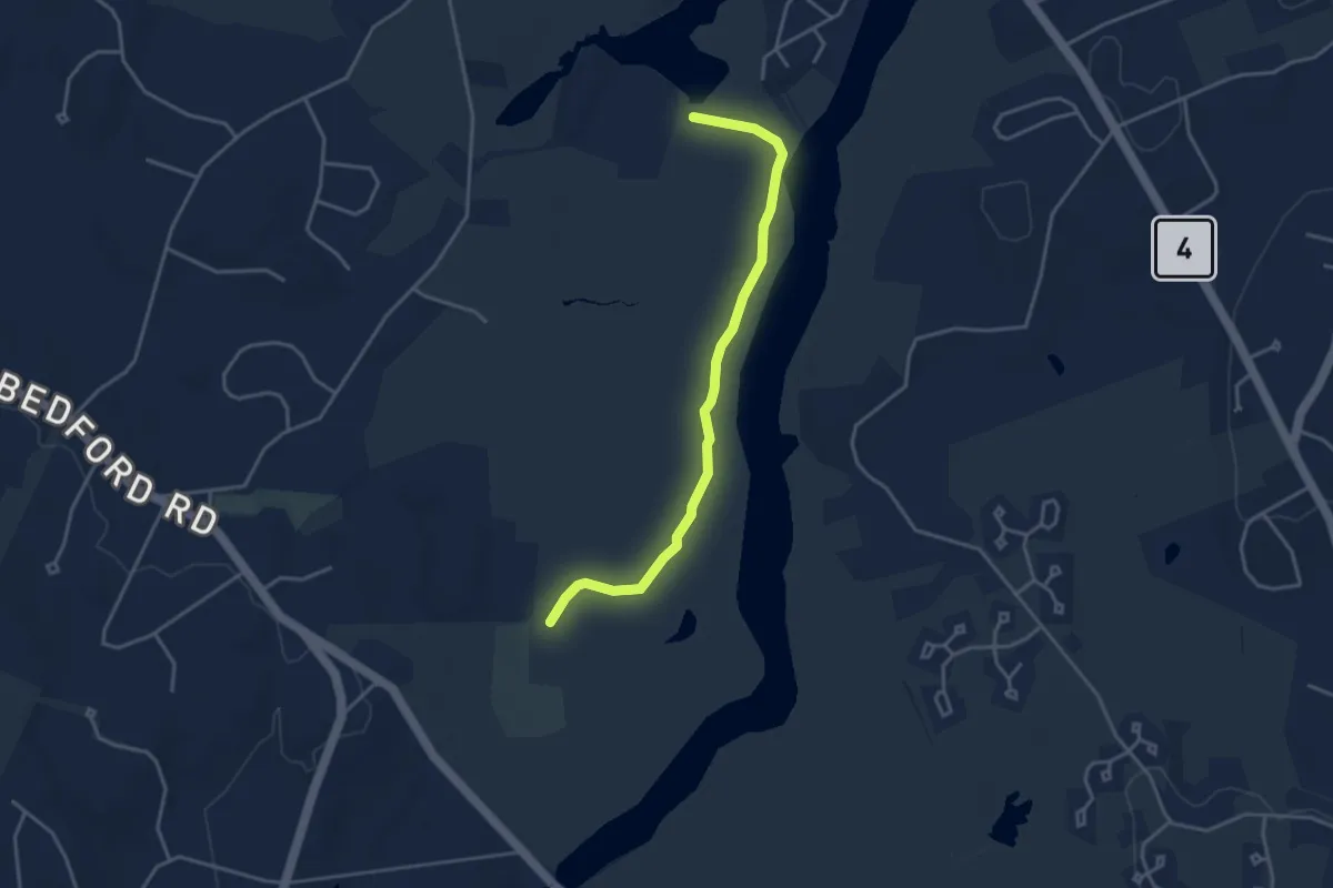
River Trail
4.1 km · ↑ 0 m · 58 min