Trails in United States
10,367 hiking trails, each with its route, climb, walking time and grade.
All trails, page 162 of 216
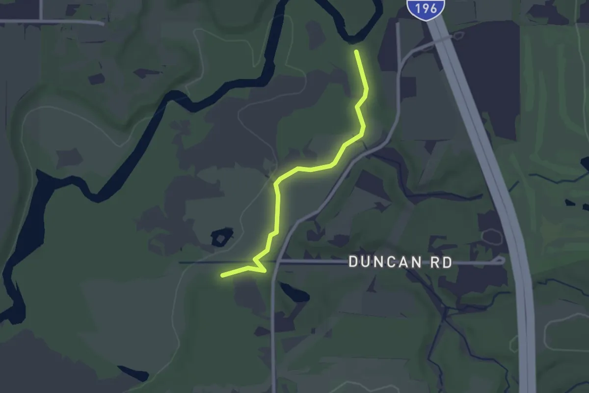
Easy · Trail
River Trail
2.3 km · ↑ 5 m · 32 min
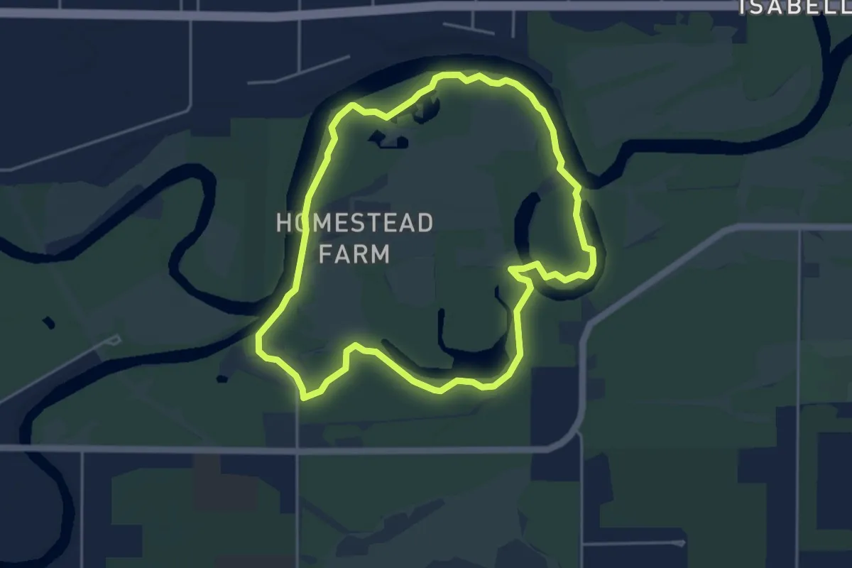
Easy · Trail
River Trail
4.6 km · ↑ 4 m · 1 h 9 min
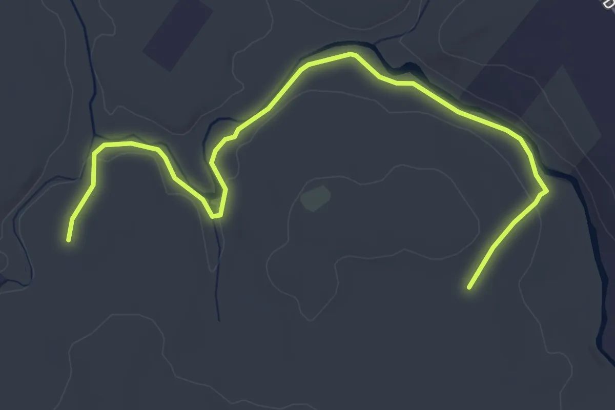
Easy · Trail
River Trail
5.9 km · ↑ 35 m · 1 h 28 min
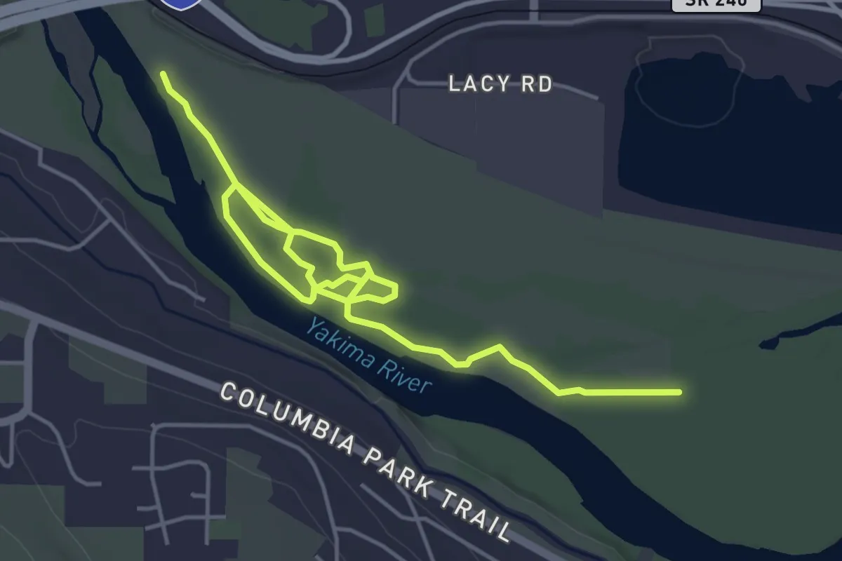
Easy · Trail
River Trail
6.2 km · ↑ 4 m · 1 h 28 min
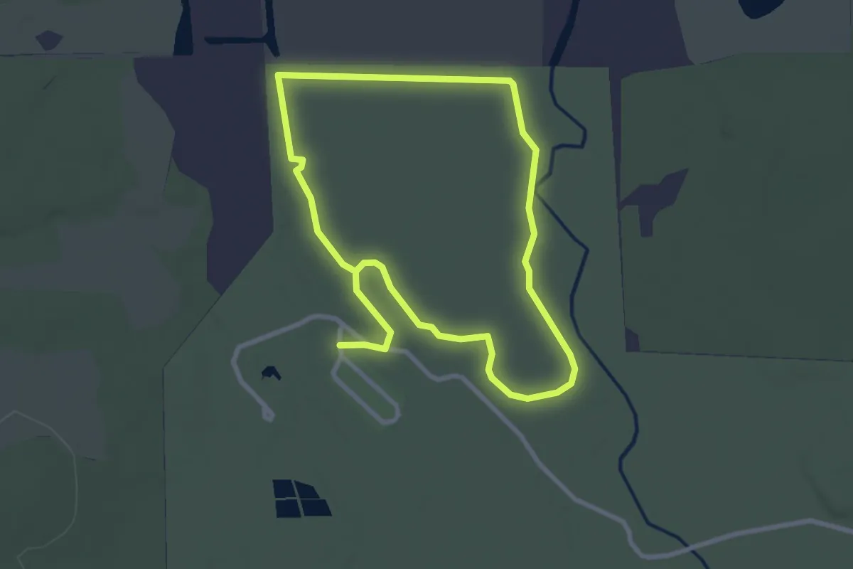
Easy · Trail
River Trail (Blue)
3.2 km · ↑ 0 m · 48 min
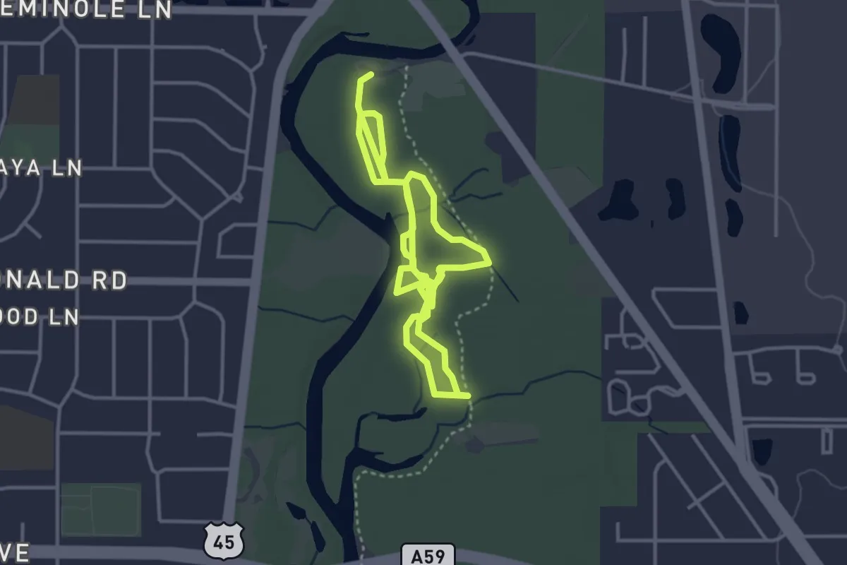
Easy · Trail
River Trail Nature Center Trails
7.1 km · ↑ 0 m · 1 h 41 min
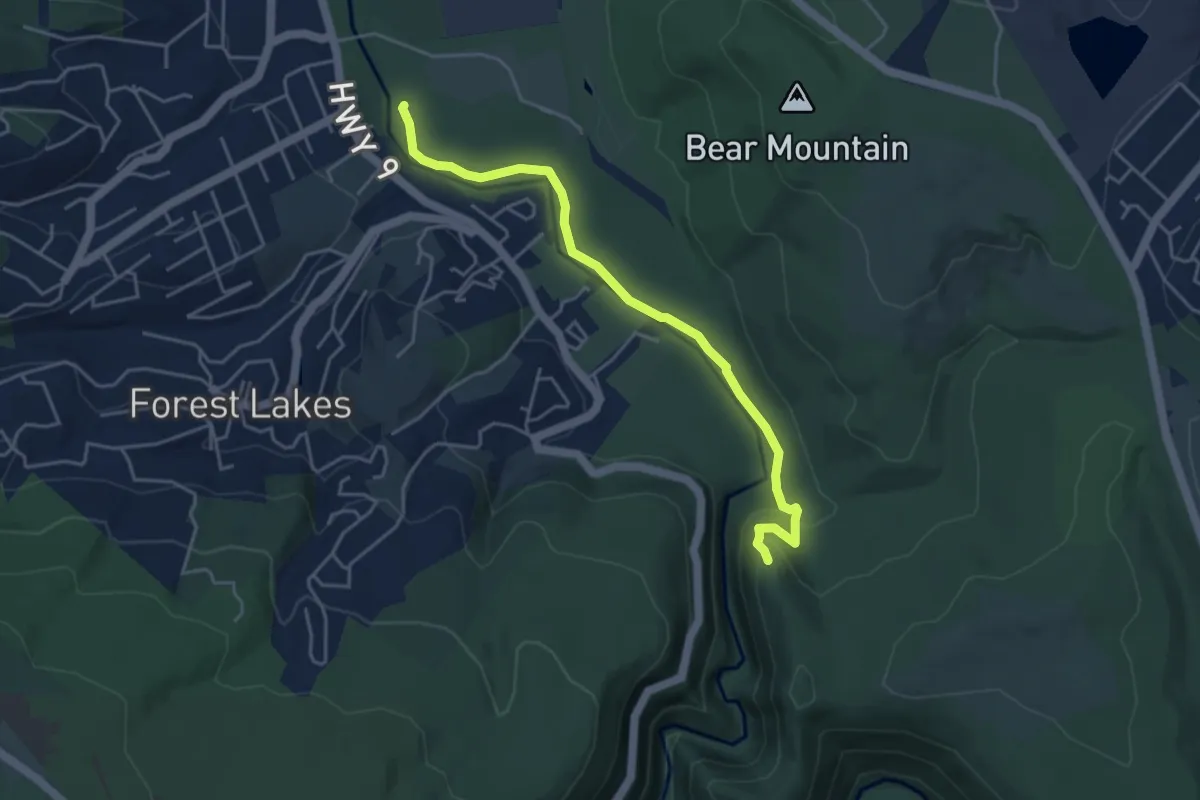
Medium · Trail
River Trail Pedestrian
5.2 km · ↑ 95 m · 1 h 26 min
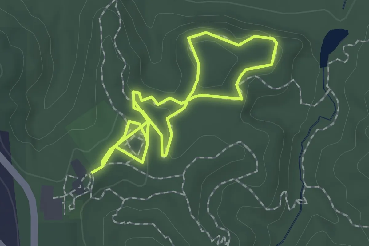
Easy · Trail
Riverview Boardwalk
1.6 km · ↑ 26 m · 28 min
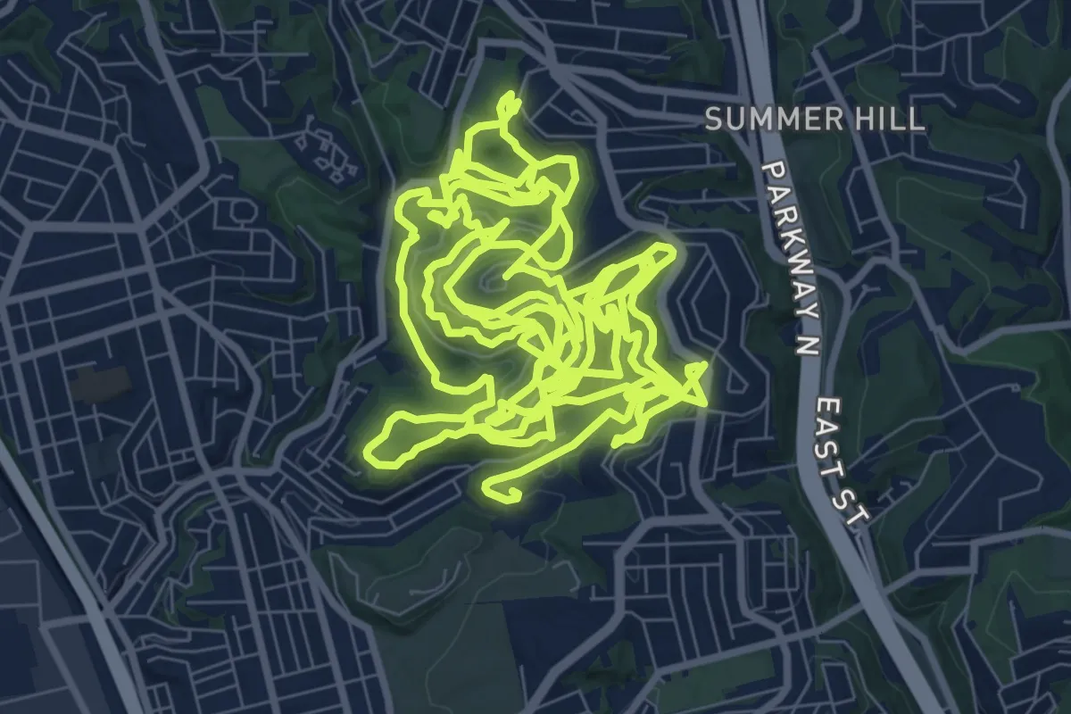
Demanding · Trail
Riverview Park Hiking Trails
19.4 km · ↑ 675 m · 6 h 20 min
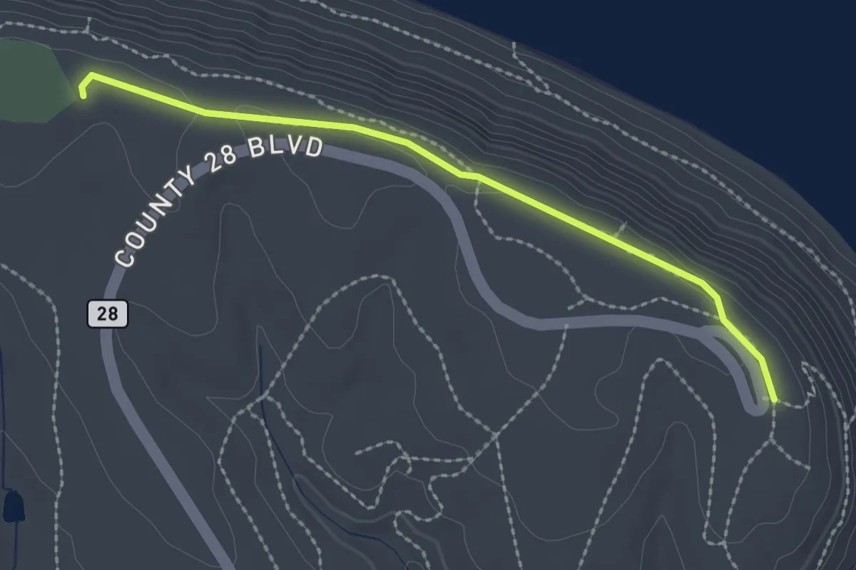
Easy · Trail
Riverview Trail
2.4 km · ↑ 9 m · 35 min
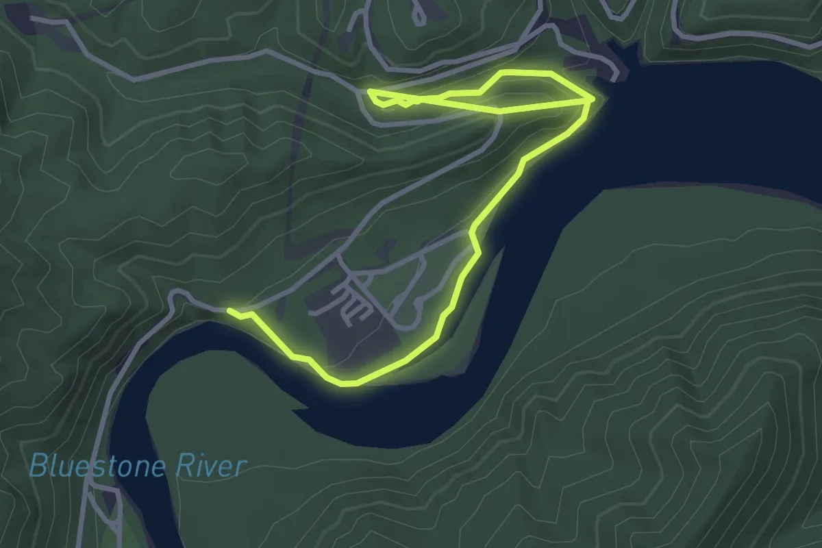
Easy · Trail
River View Trail
4.6 km · ↑ 155 m · 1 h 25 min
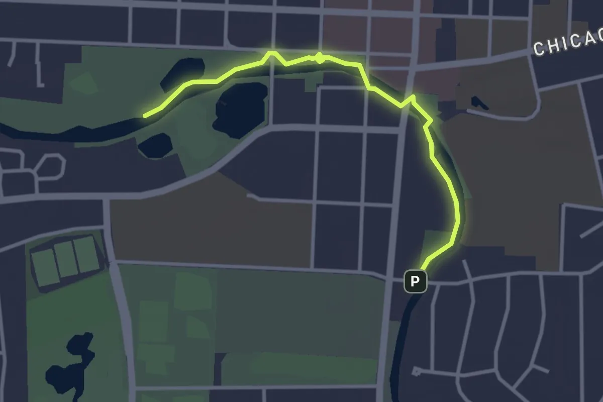
Easy · Trail
Riverwalk
3.3 km · ↑ 0 m · 47 min
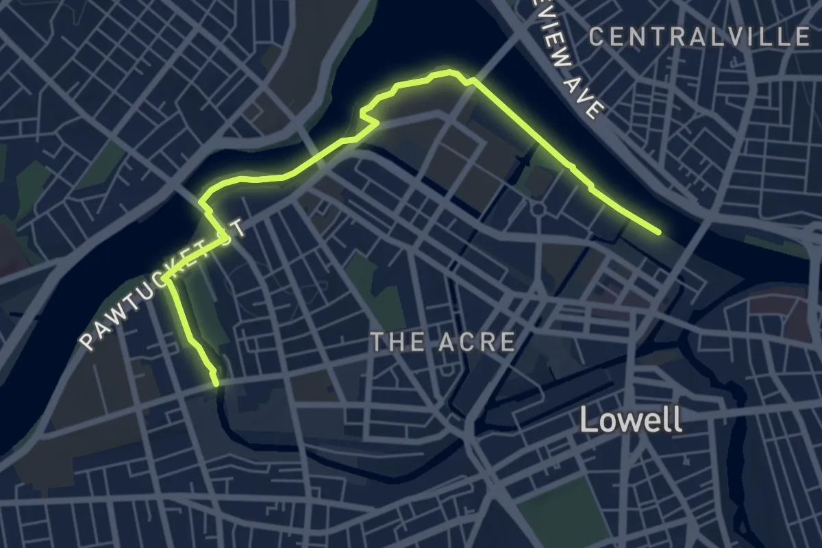
Easy · Trail
Riverwalk Ramble
6.9 km · ↑ 32 m · 1 h 42 min
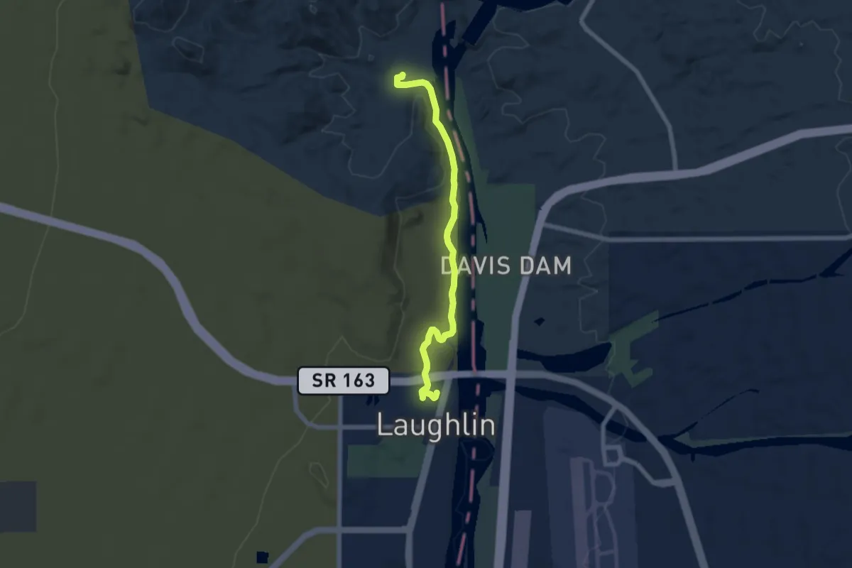
Easy · Trail
Riverwalk Trail
6.9 km · ↑ 37 m · 1 h 43 min
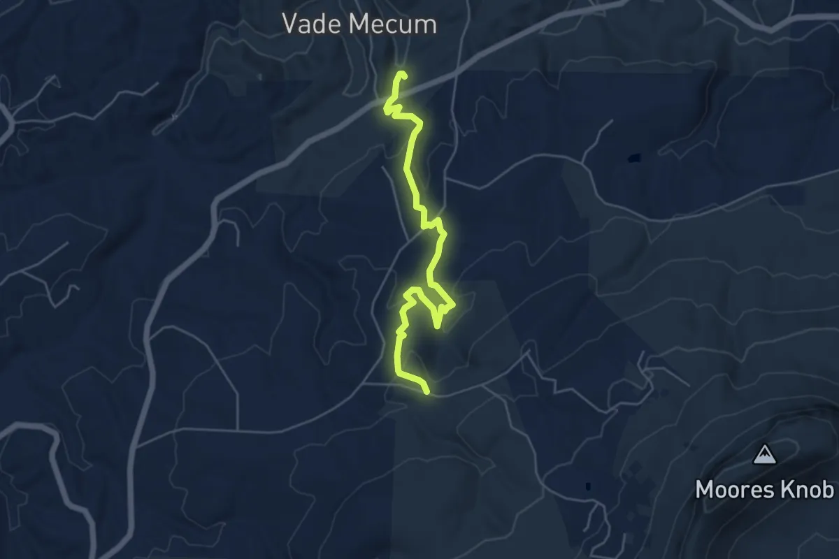
Medium · Trail
RM Collins Trail
5.8 km · ↑ 184 m · 1 h 46 min
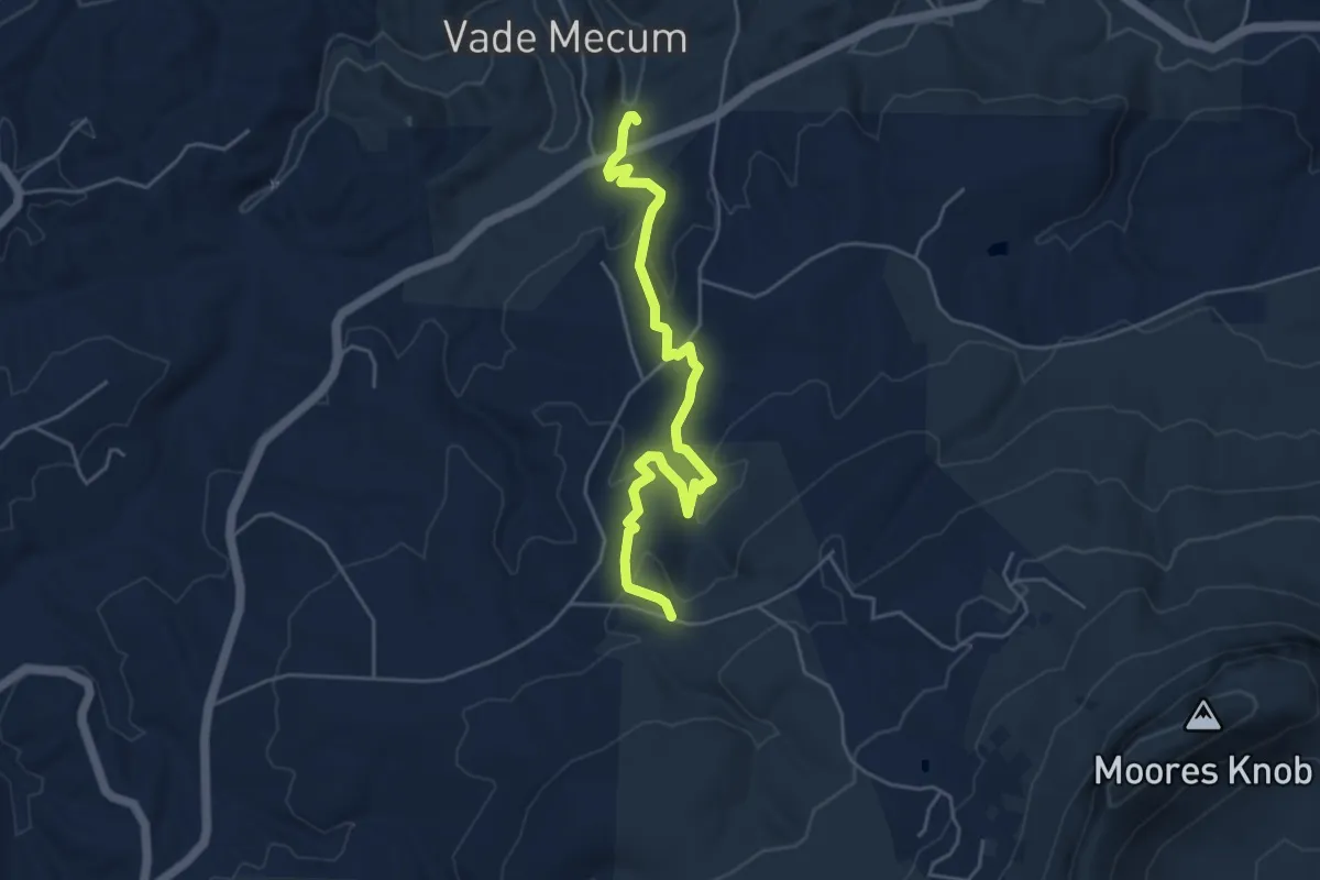
Medium · Trail
RM Collins Trail
5.8 km · ↑ 184 m · 1 h 46 min
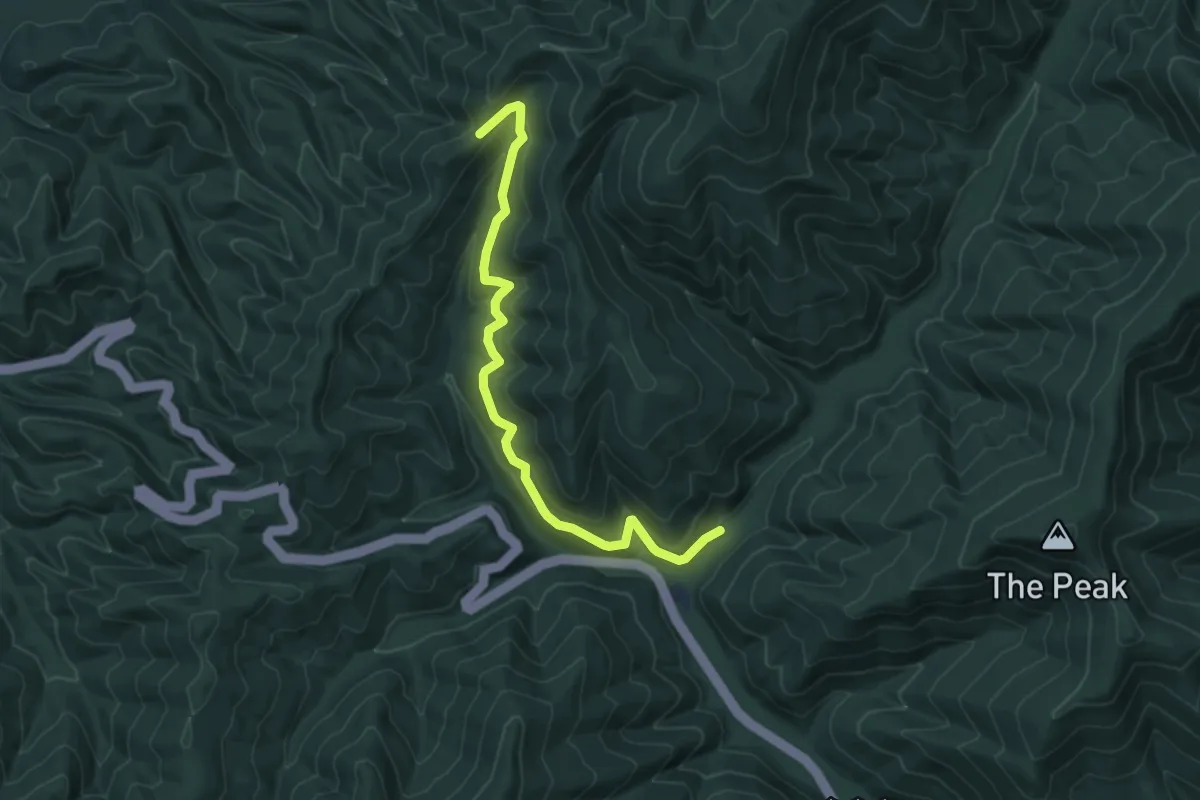
Easy · Trail
Road Hollow Trail
7.5 km · ↑ 236 m · 2 h 17 min
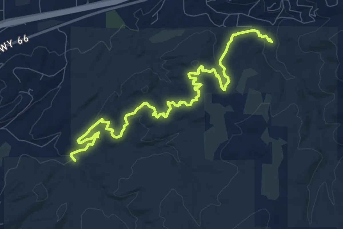
Medium · Trail
Road Noise Trail
12.1 km · ↑ 203 m · 3 h 18 min
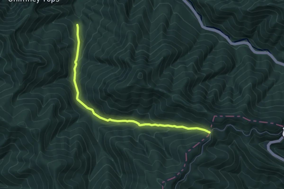
Medium · Trail
Road Prong Trail
7.2 km · ↑ 438 m · 2 h 39 min
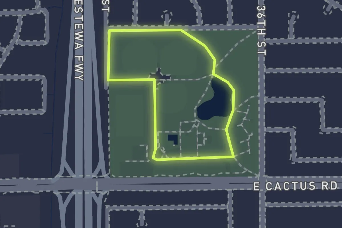
Easy · Trail
Roadrunner Park Walking Path
1.2 km · ↑ 0 m · 19 min
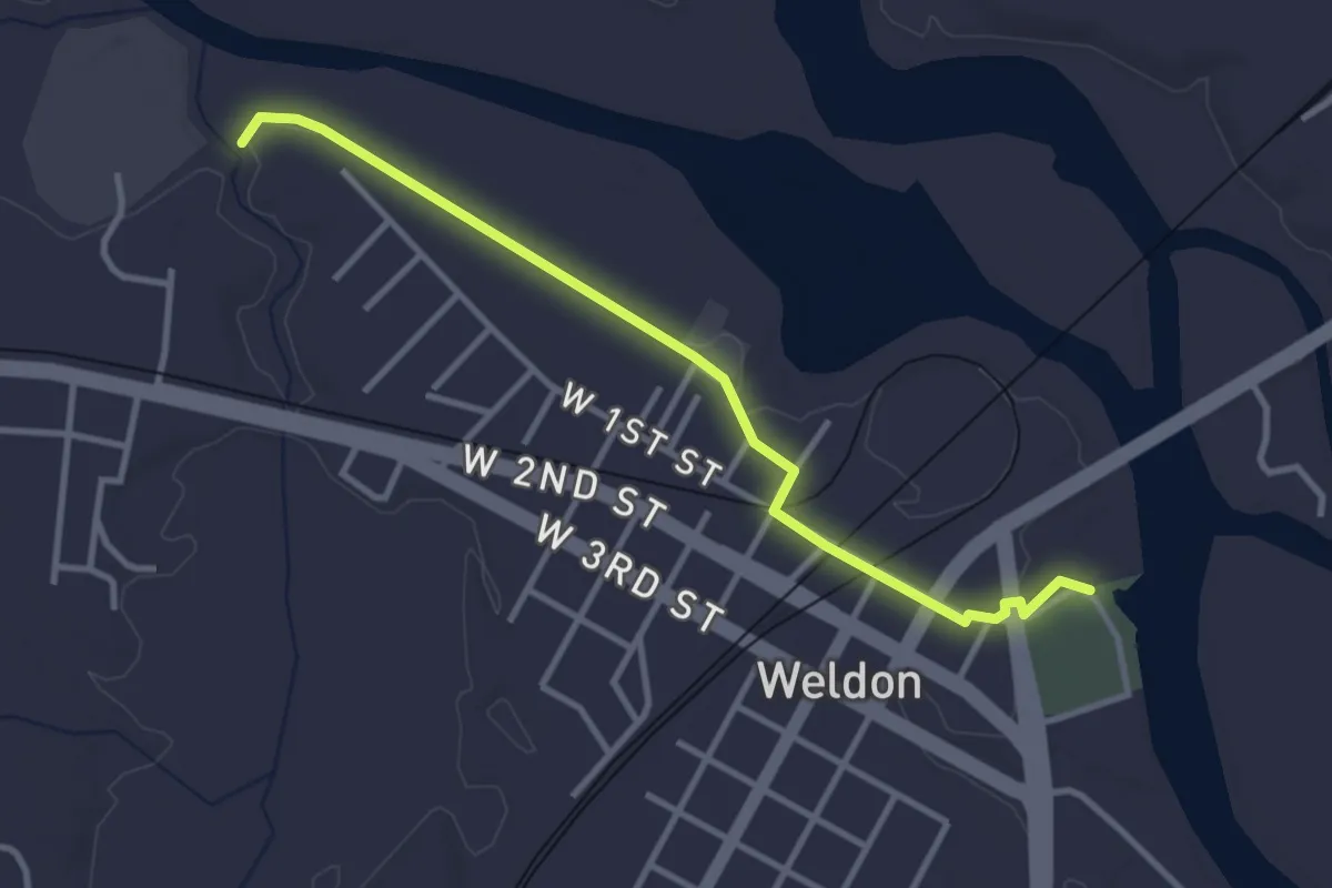
Easy · Trail
Roanoke Canal Path
4.0 km · ↑ 8 m · 57 min
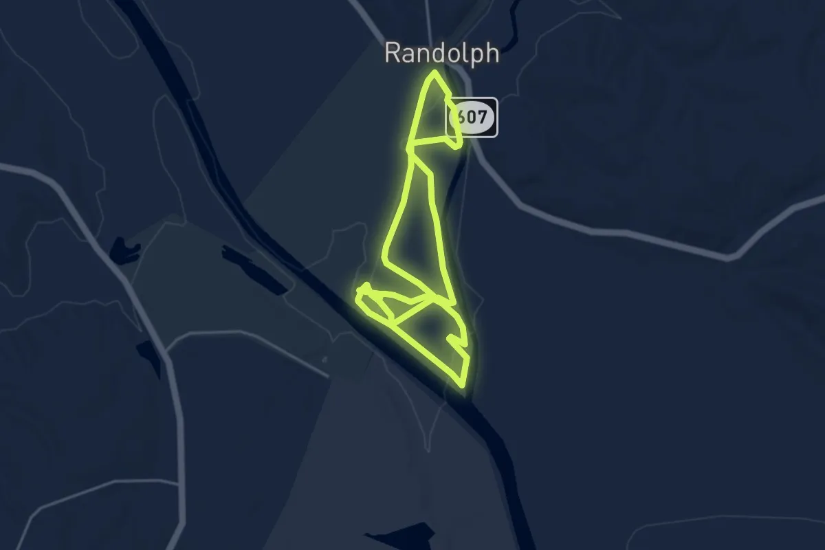
Medium · Trail
Roanoke Creek Trail
9.1 km · ↑ 0 m · 2 h 9 min
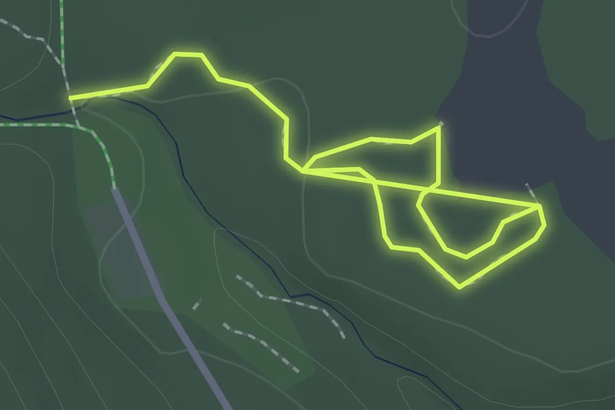
Easy · Trail
Roaring Brook Nature Trail
2.9 km · ↑ 0 m · 41 min
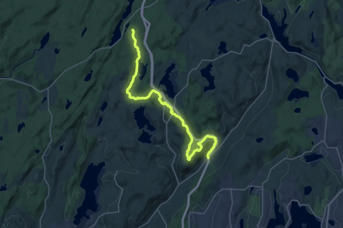
Demanding · Trail
Roaring Brook Trail
23.5 km · ↑ 681 m · 7 h 1 min
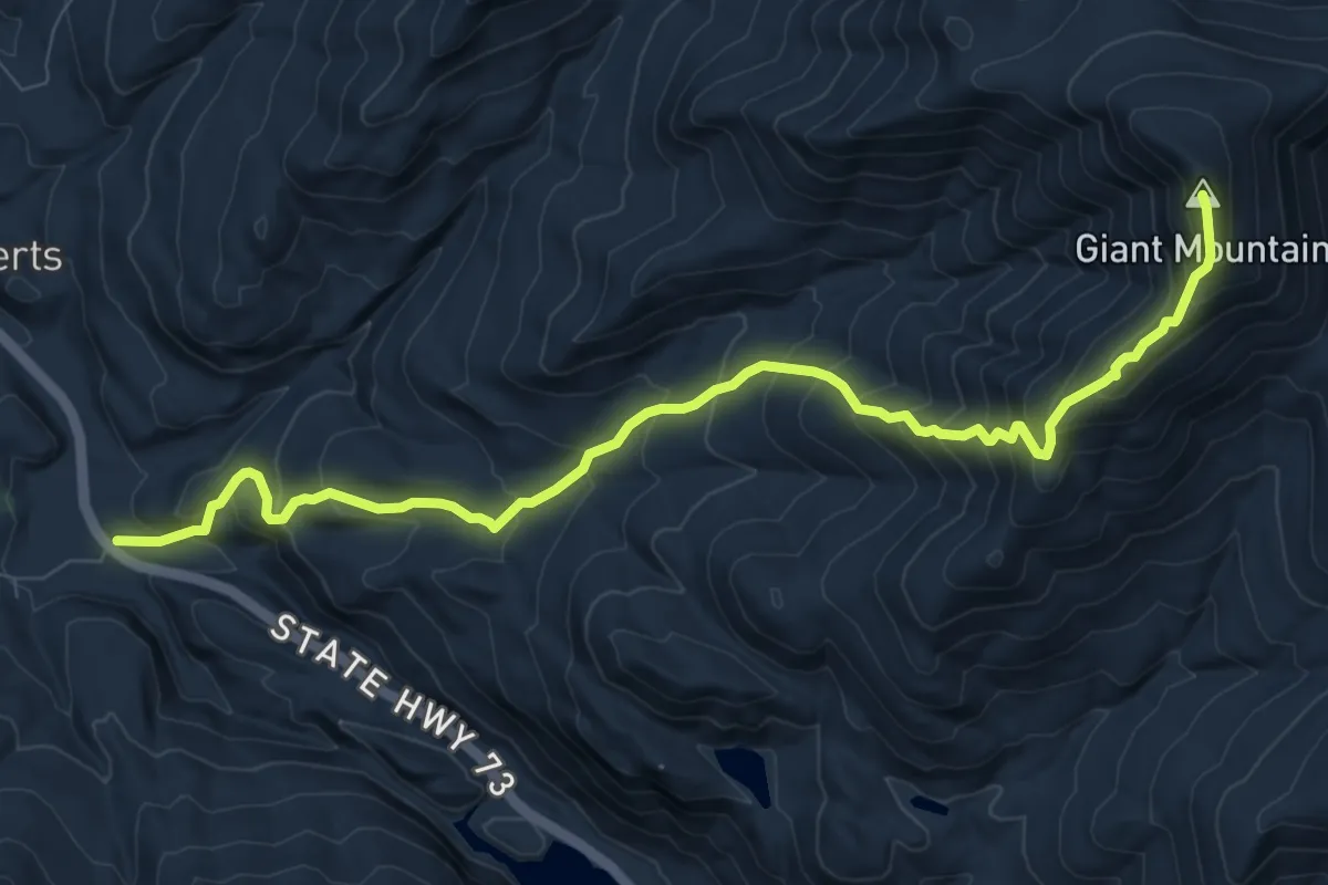
Demanding · Summit
Roaring Brook Trail
10.3 km · ↑ 1021 m · 4 h 39 min
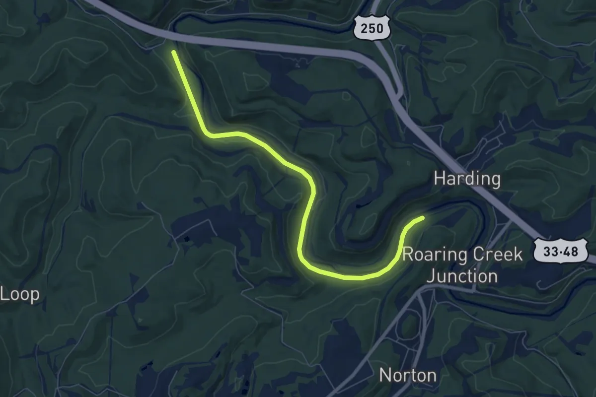
Medium · Trail
Roaring Creek & Belington Railroad Trail
8.3 km · ↑ 35 m · 2 h 2 min
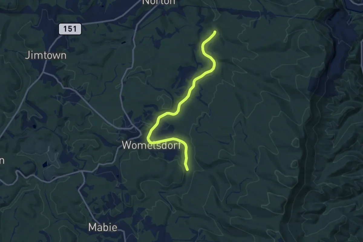
Medium · Trail
Roaring Creek & Charleston Railroad Trail
11.8 km · ↑ 58 m · 2 h 55 min
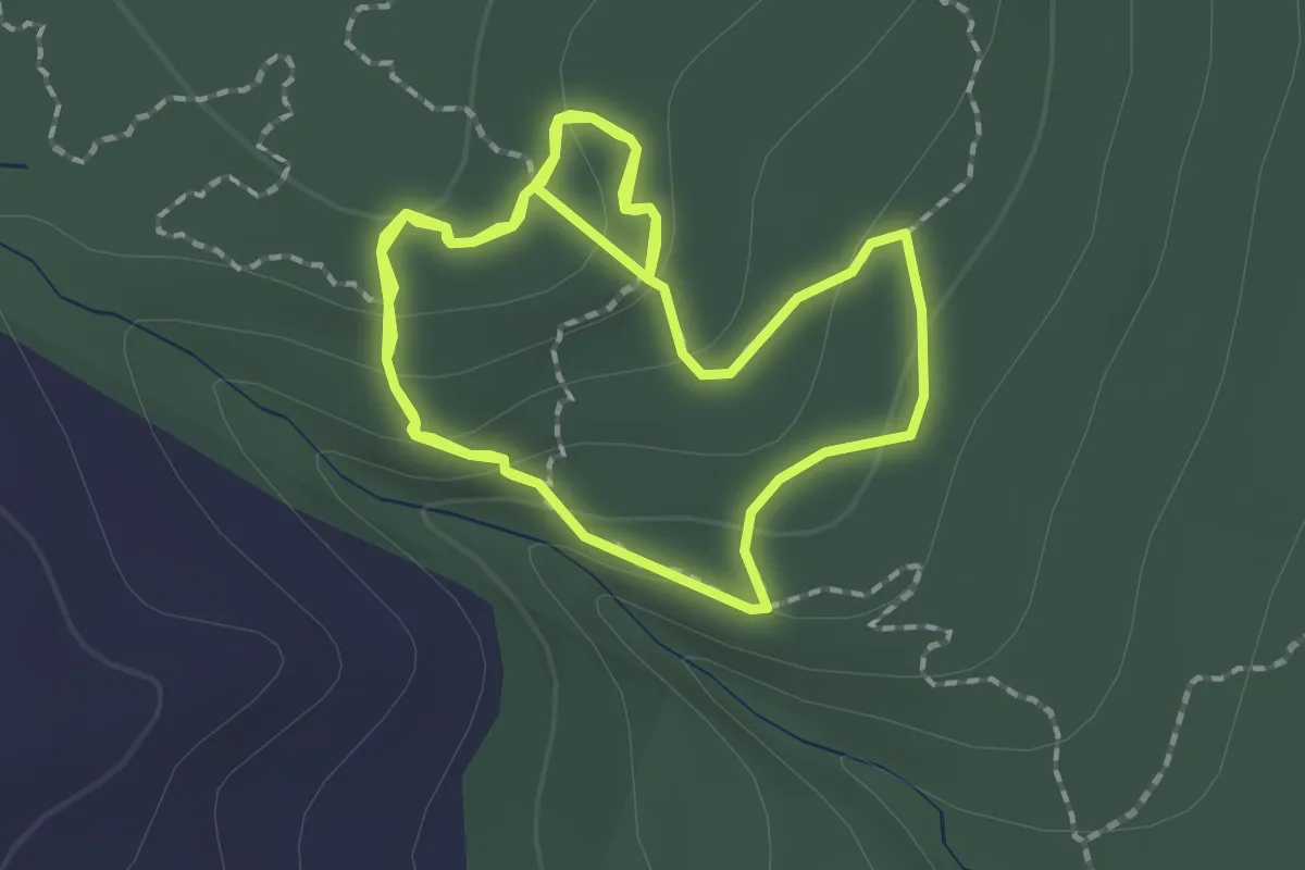
Easy · Trail
Roaring Rocks Trail
2.4 km · ↑ 66 m · 45 min
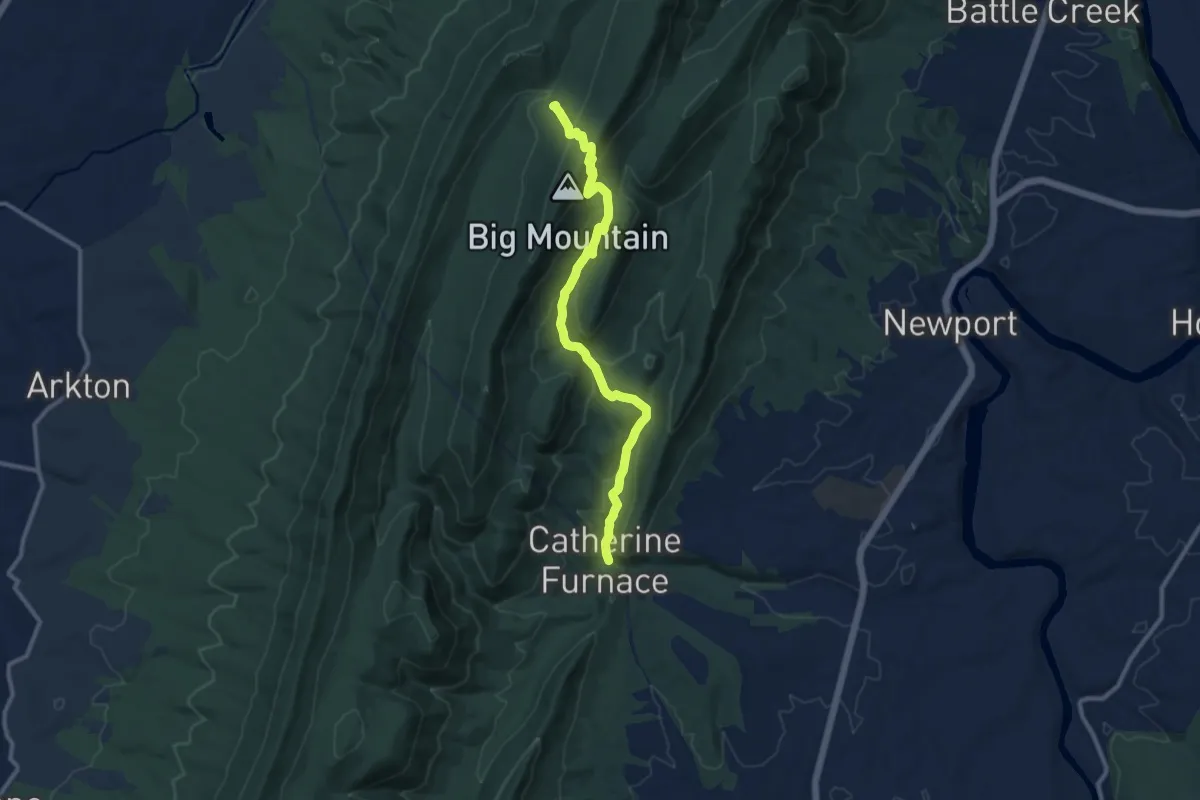
Medium · Trail
Roaring Run Trail
12.1 km · ↑ 658 m · 4 h 17 min
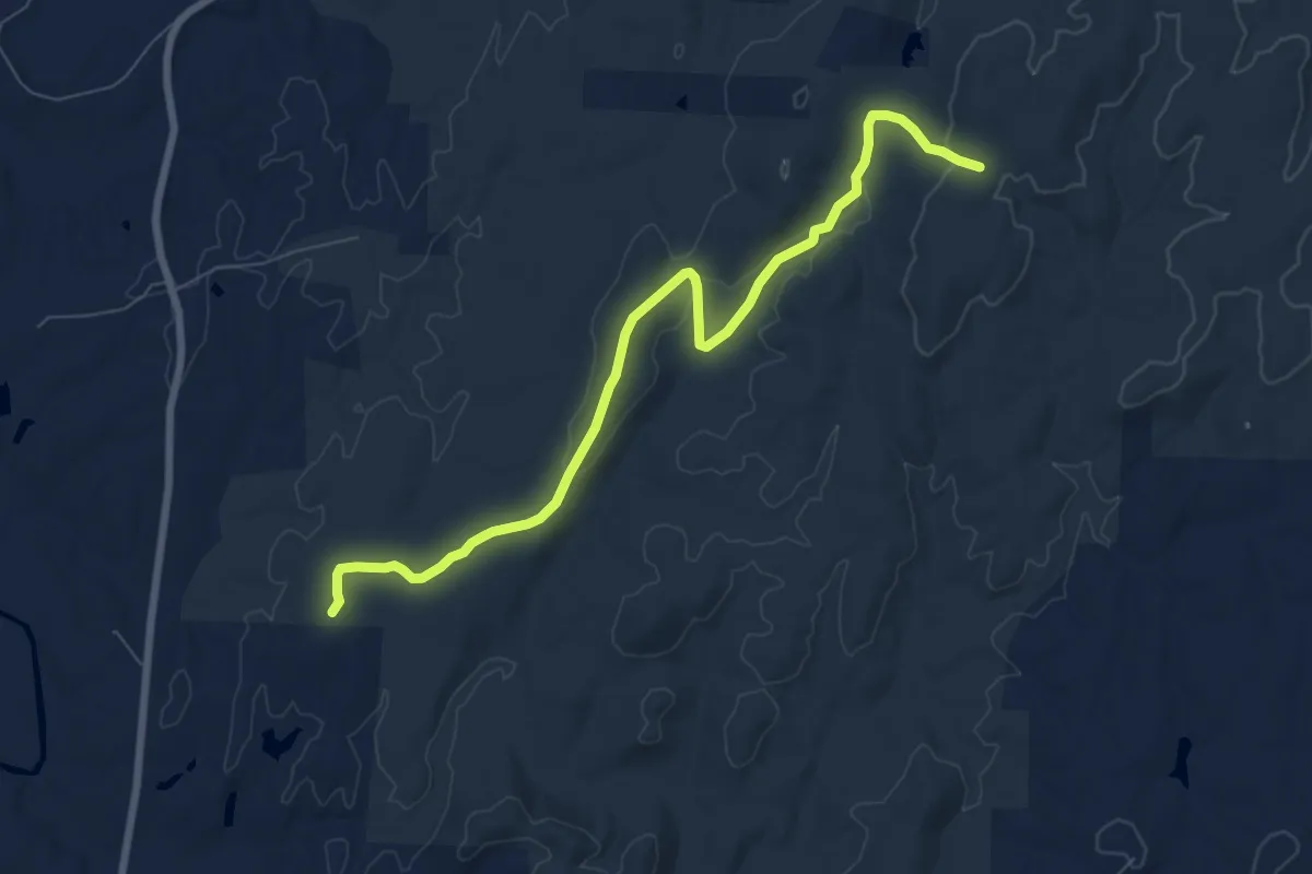
Medium · Trail
Robbins Branch Trail
9.5 km · ↑ 202 m · 2 h 41 min
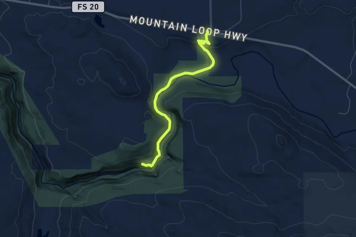
Expert · Trail
Robe Canyon Historic Trail
5.9 km · ↑ 251 m · 1 h 56 min
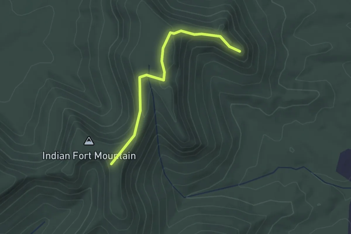
Easy · Trail
Robe Mountain Trail
2.7 km · ↑ 92 m · 50 min
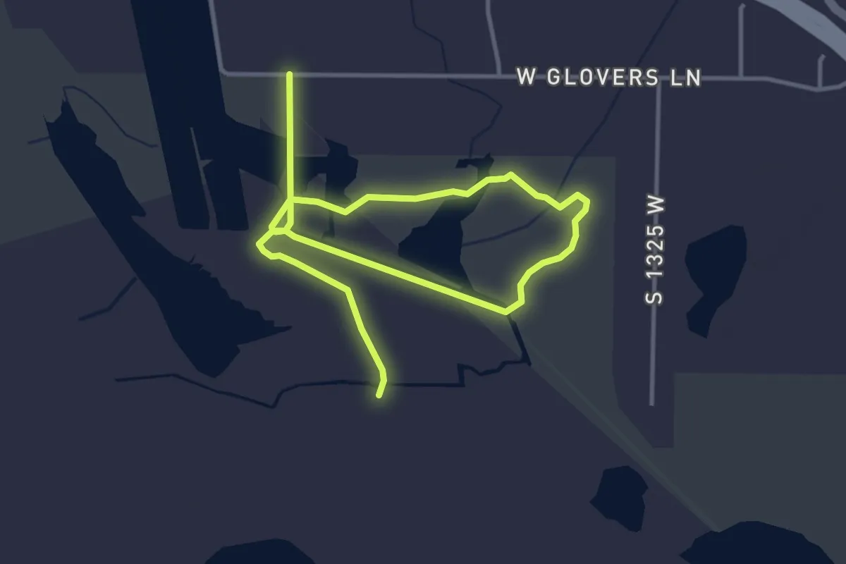
Easy · Trail
Robert N. Hasenyager Great Salt Lake Nature Center Trail
6.0 km · ↑ 0 m · 1 h 26 min
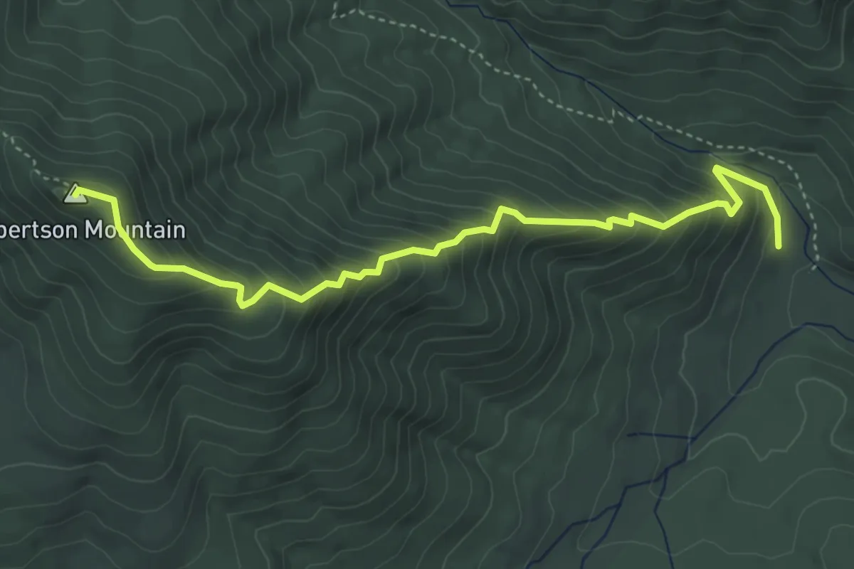
Medium · Summit
Robertson Mountain Trail
5.2 km · ↑ 524 m · 2 h 21 min
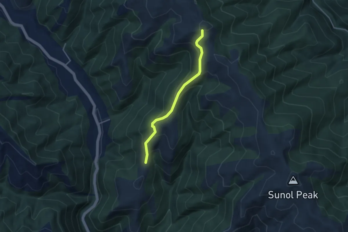
Easy · Trail
Robertson Ranch Trail
3.1 km · ↑ 197 m · 1 h 10 min
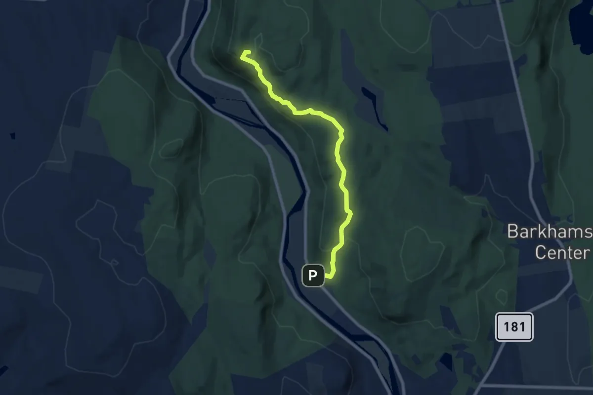
Easy · Trail
Robet Ross Trail
7.1 km · ↑ 287 m · 2 h 17 min
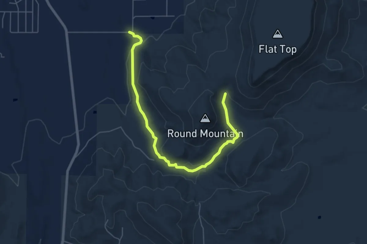
Easy · Trail
Robiinson Hollow Trail
6.9 km · ↑ 157 m · 1 h 58 min
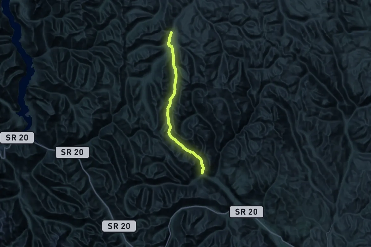
Demanding · Trail
Robinson Creek - Middle Fork Trail
35.7 km · ↑ 1395 m · 11 h 41 min
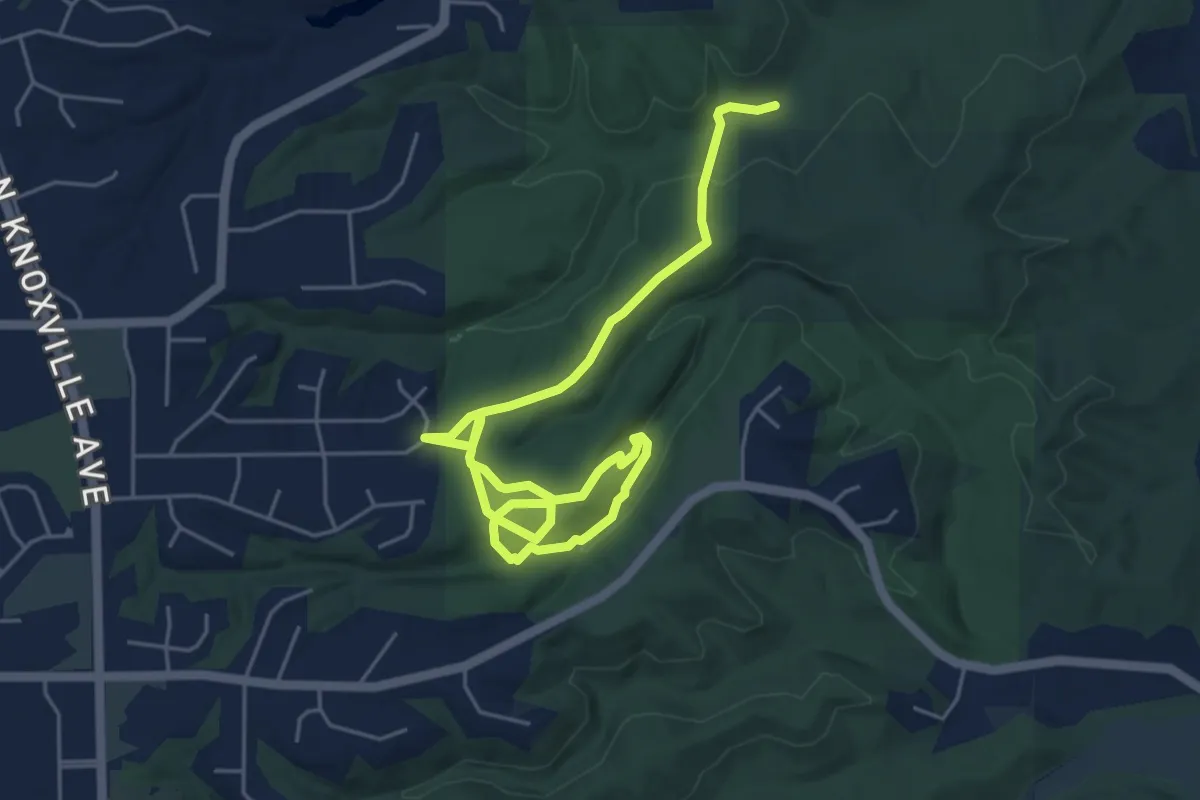
Easy · Trail
Robinson Park North
7.7 km · ↑ 173 m · 2 h 11 min
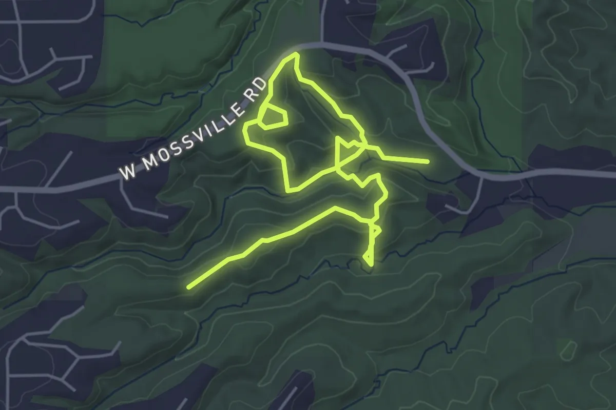
Medium · Trail
Robinson Park South
7.8 km · ↑ 324 m · 2 h 33 min
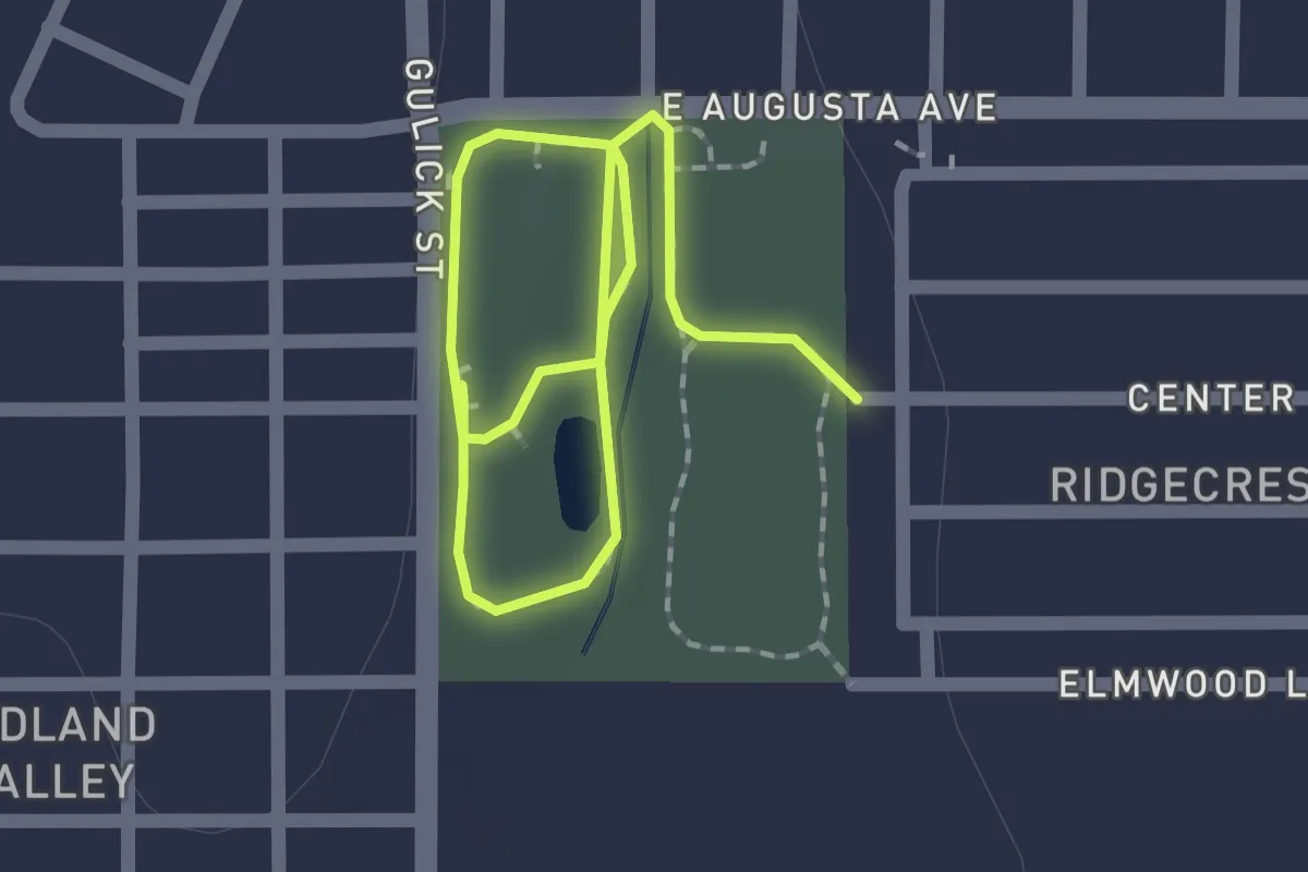
Easy · Trail
Robison Park Trail
3.0 km · ↑ 8 m · 44 min
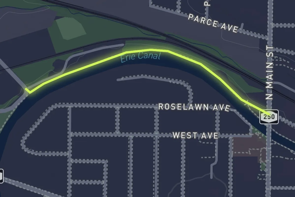
Easy · Trail
Rochester, Syracuse & Eastern Trolley Trail
2.3 km · ↑ 0 m · 32 min
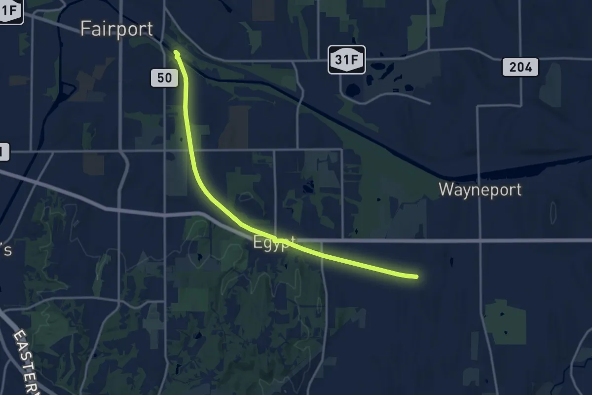
Medium · Trail
Rochester, Syracuse & Eastern Trolley Trail
14.0 km · ↑ 46 m · 3 h 25 min
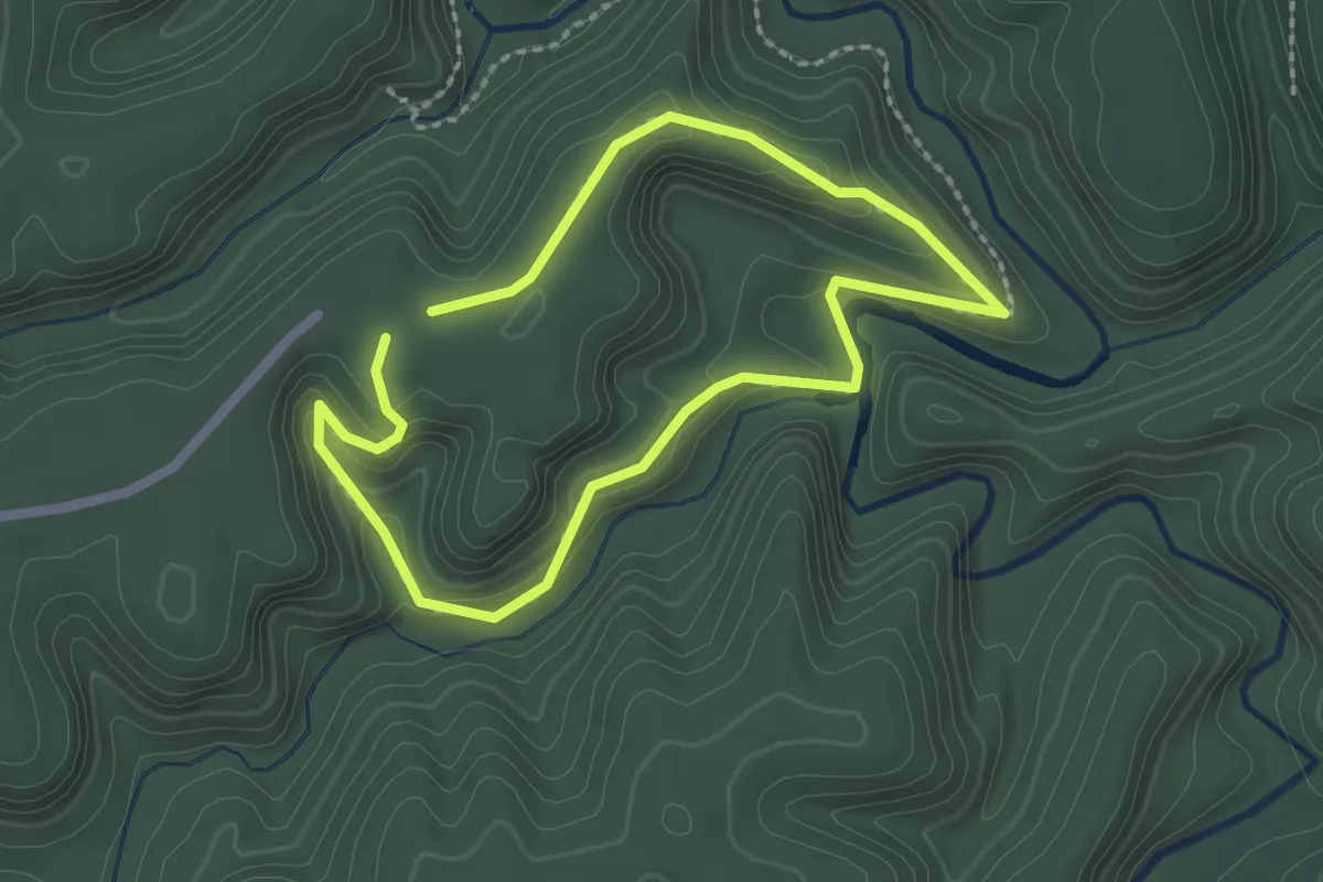
Easy · Trail
Rock Bridge Trail #207
2.1 km · ↑ 84 m · 42 min
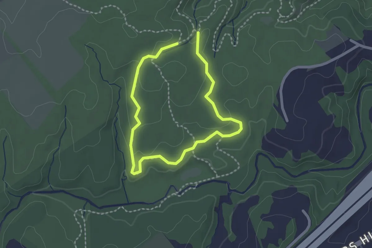
Easy · Trail
Rockburn Branch Trail
1.7 km · ↑ 26 m · 28 min
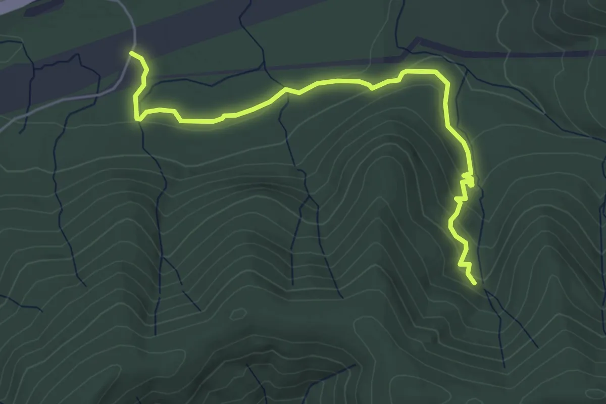
Easy · Trail
Rock Candy East
5.2 km · ↑ 139 m · 1 h 32 min
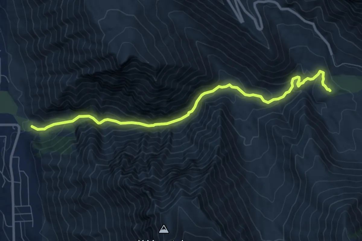
Medium · Trail
Rock Canyon
9.0 km · ↑ 526 m · 3 h 15 min
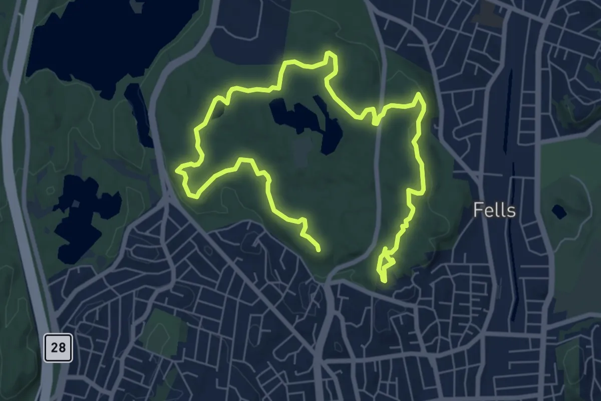
Medium · Summit
Rock Circuit Trail
6.6 km · ↑ 143 m · 1 h 57 min