Trails in United States
10,367 hiking trails, each with its route, climb, walking time and grade.
All trails, page 167 of 216
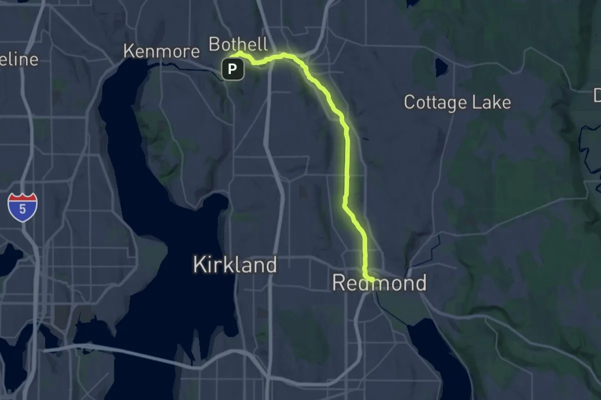
Demanding · Trail
Sammamish River Trail
31.1 km · ↑ 41 m · 7 h 26 min
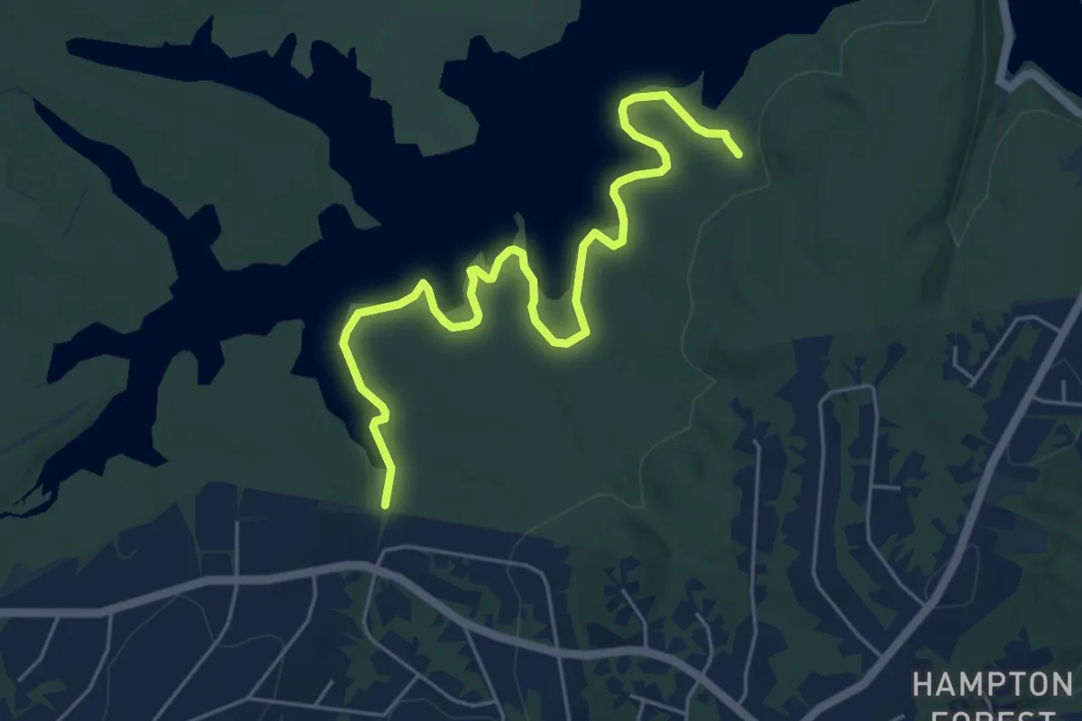
Easy · Trail
Sam's Grave Trail
6.8 km · ↑ 18 m · 1 h 38 min
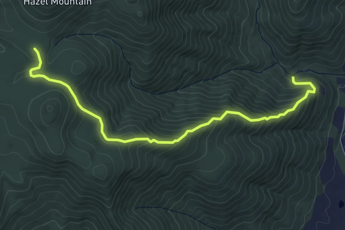
Medium · Trail
Sams Ridge Trail
6.8 km · ↑ 457 m · 2 h 35 min
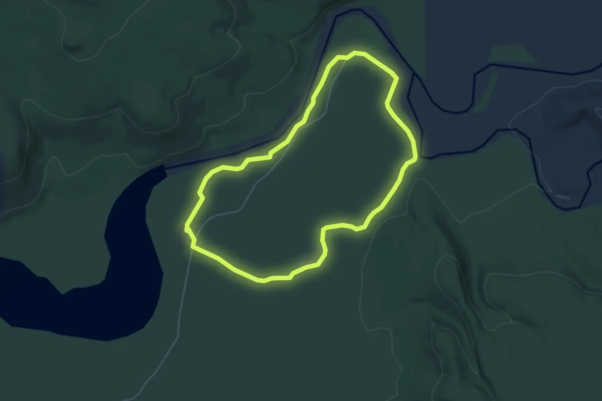
Medium · Trail
Sam's River Loop Trail
4.6 km · ↑ 13 m · 1 h 11 min
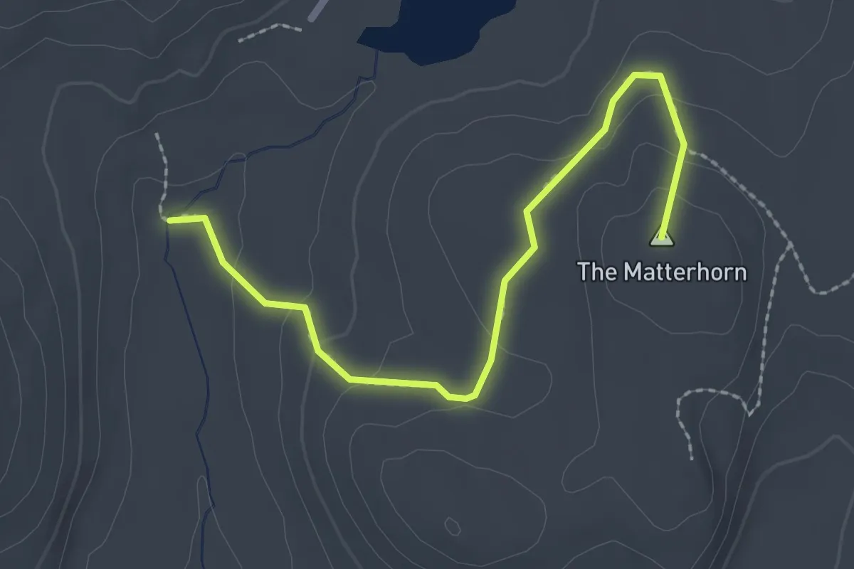
Easy · Summit
Sam Yankee Trail
2.6 km · ↑ 91 m · 48 min
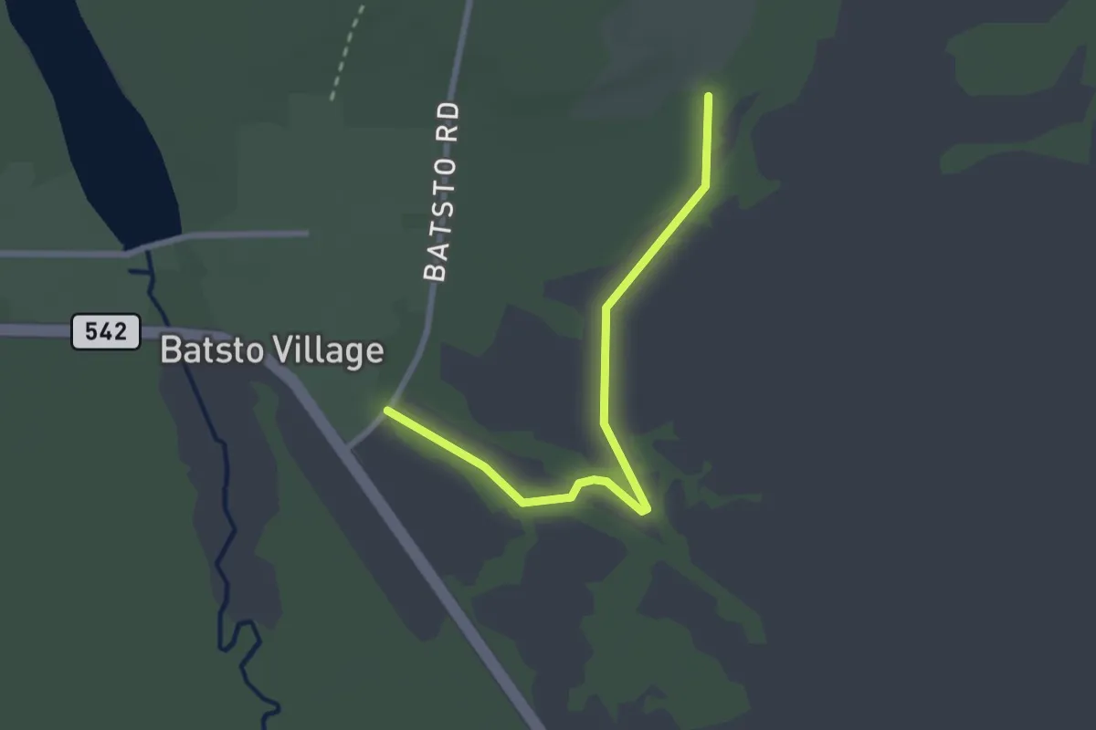
Easy · Trail
Sand and Water Trail
2.8 km · ↑ 0 m · 40 min
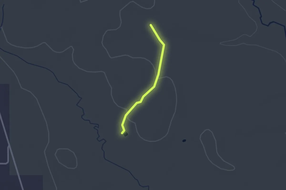
Easy · Trail
Sand Branch Trail
2.1 km · ↑ 23 m · 33 min
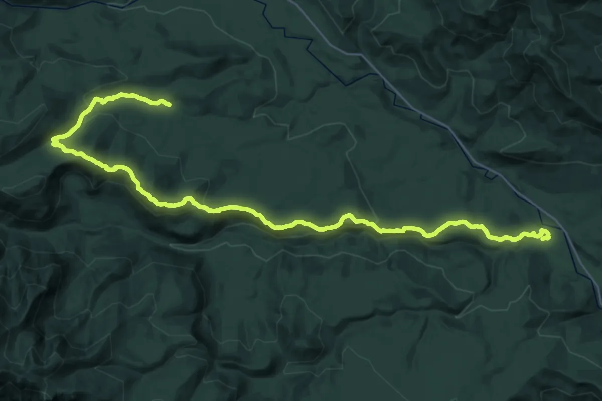
Medium · Trail
Sand Creek Trail
14.4 km · ↑ 411 m · 4 h 38 min
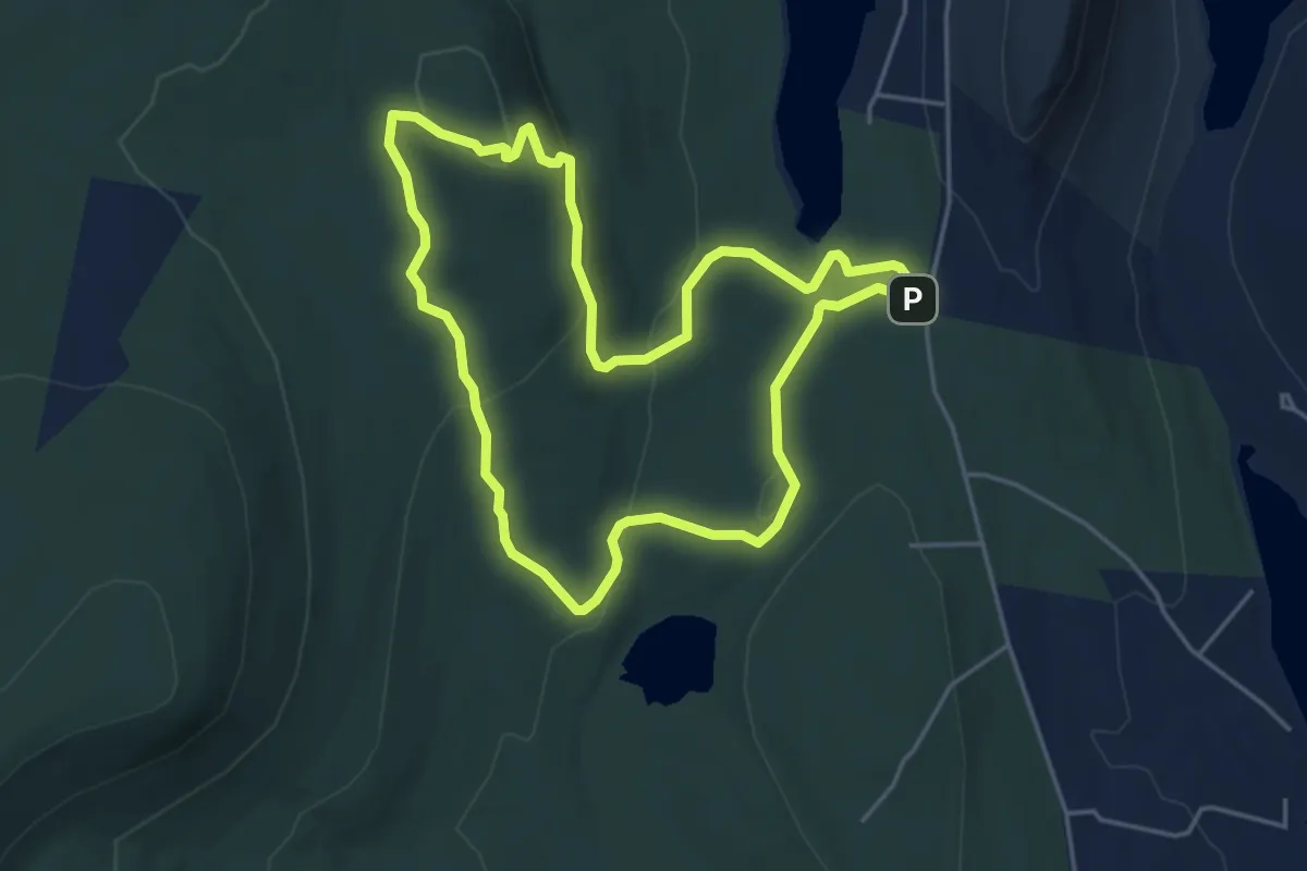
Easy · Summit
Sanders Hill Trail
4.7 km · ↑ 135 m · 1 h 27 min
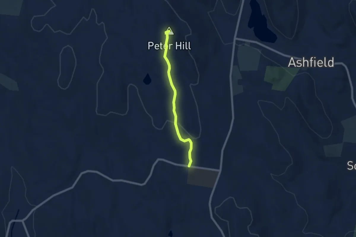
Easy · Summit
Sanderson to Bear Swamp Trail
5.0 km · ↑ 94 m · 1 h 23 min
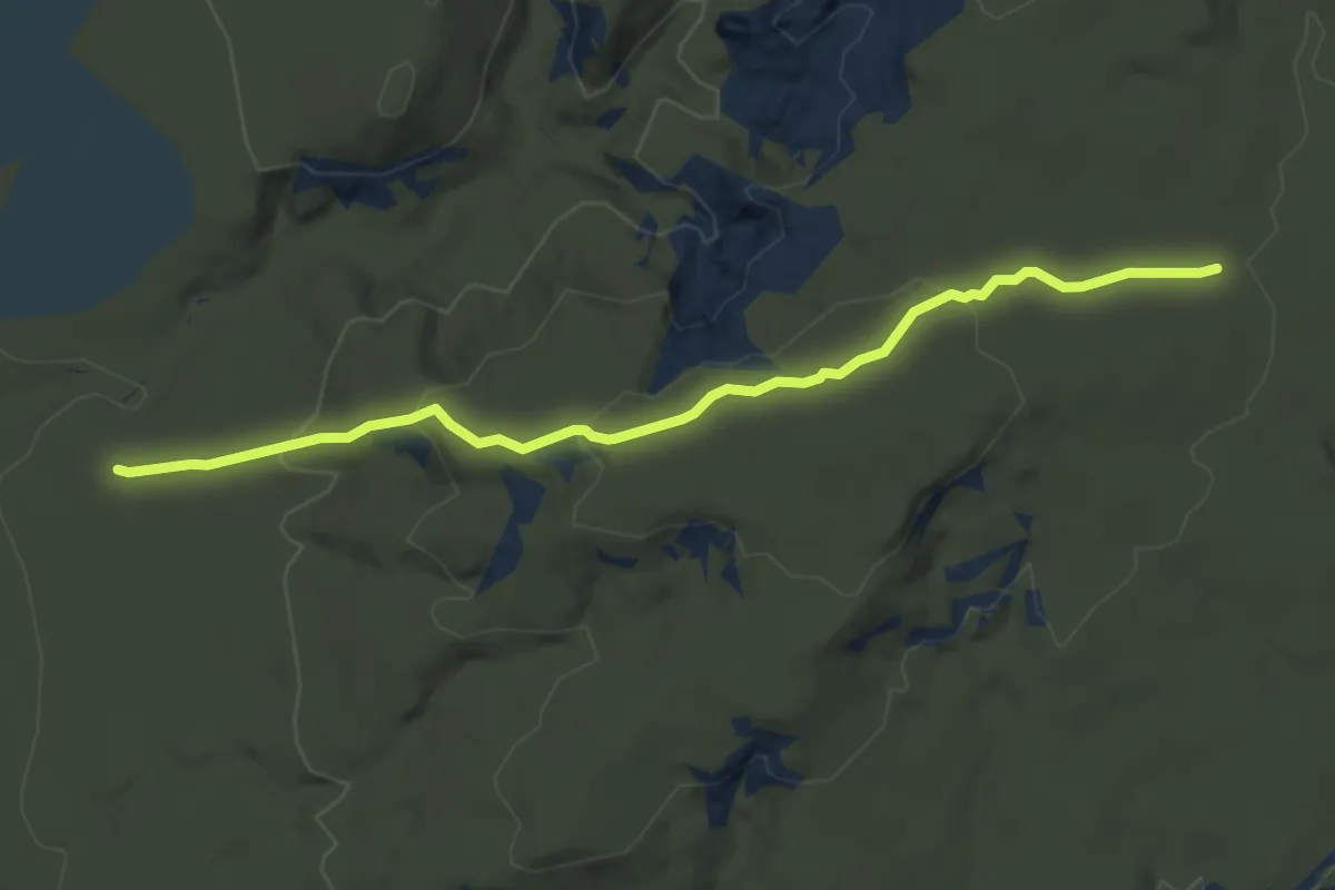
Easy · Trail
Sand Hill
5.5 km · ↑ 221 m · 1 h 47 min
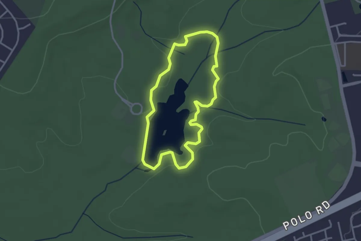
Easy · Trail
Sandhills Hiking Trail
3.1 km · ↑ 8 m · 48 min
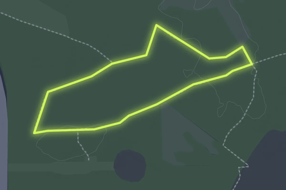
Easy · Trail
Sandhill Trail
2.5 km · ↑ 0 m · 38 min
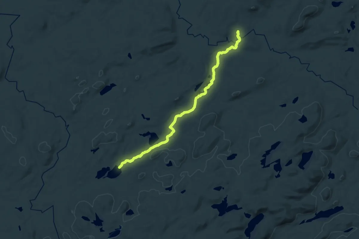
Demanding · Trail
Sand Lake Trail
22.0 km · ↑ 167 m · 5 h 34 min
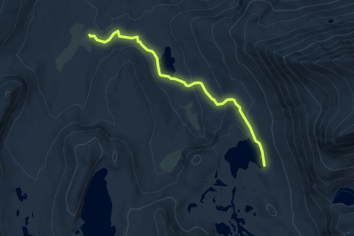
Easy · Trail
Sandpiper Lake Trail
5.2 km · ↑ 168 m · 1 h 35 min
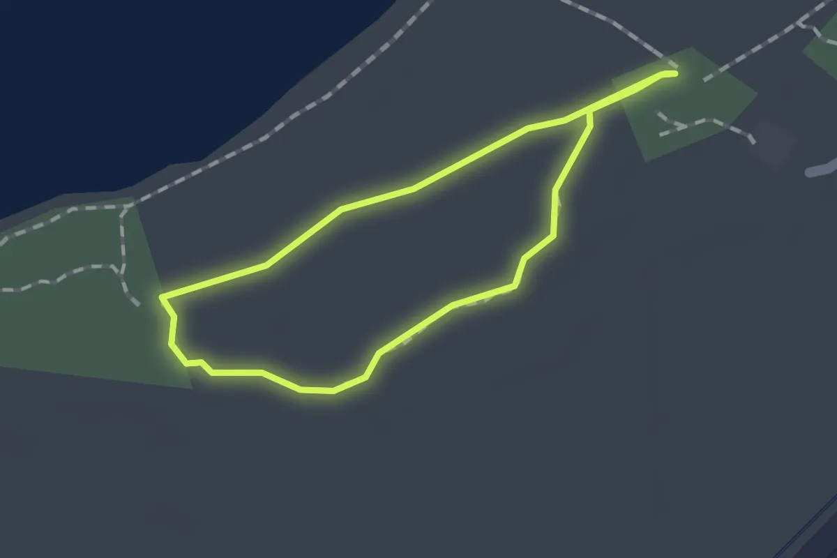
Easy · Trail
Sand Ridge Nature Trail
1.3 km · ↑ 0 m · 19 min
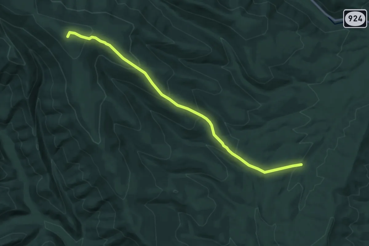
Medium · Summit
Sand Spring Trail
10.1 km · ↑ 551 m · 3 h 34 min
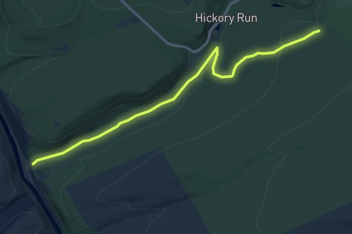
Easy · Trail
Sand Spring Trail
7.2 km · ↑ 108 m · 1 h 56 min
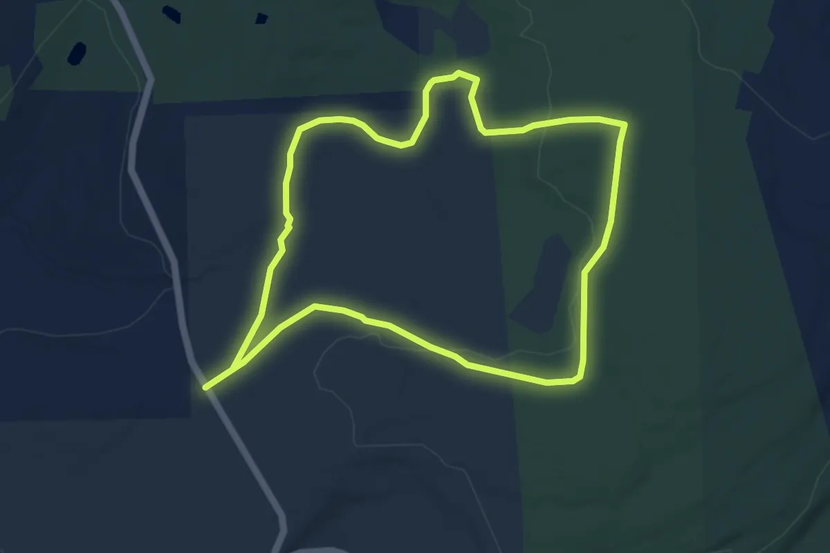
Easy · Trail
Sand Spring Trail
4.8 km · ↑ 42 m · 1 h 18 min
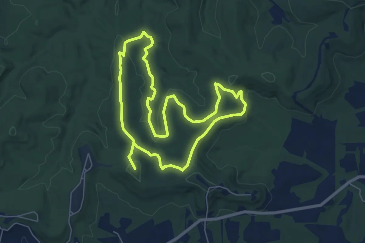
Medium · Summit
Sandstone Canyon Trail
11.2 km · ↑ 305 m · 3 h 18 min
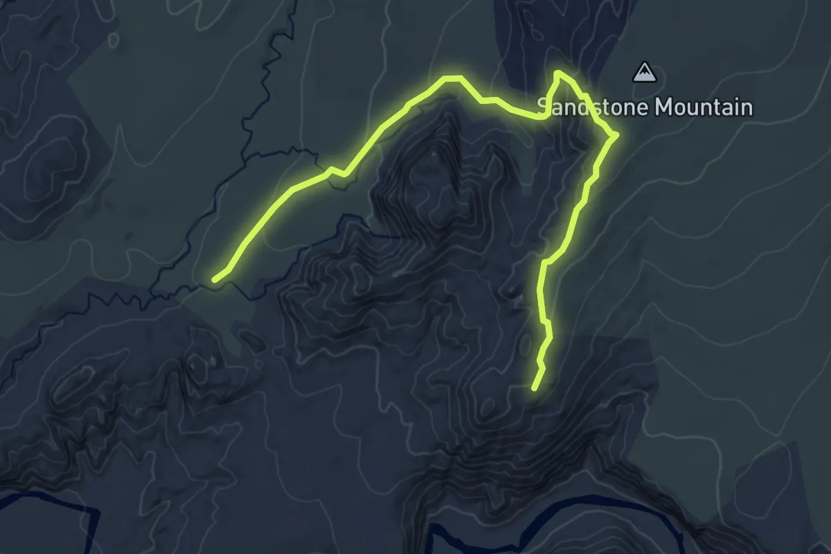
Easy · Trail
Sandstone Mountain
6.2 km · ↑ 216 m · 1 h 56 min
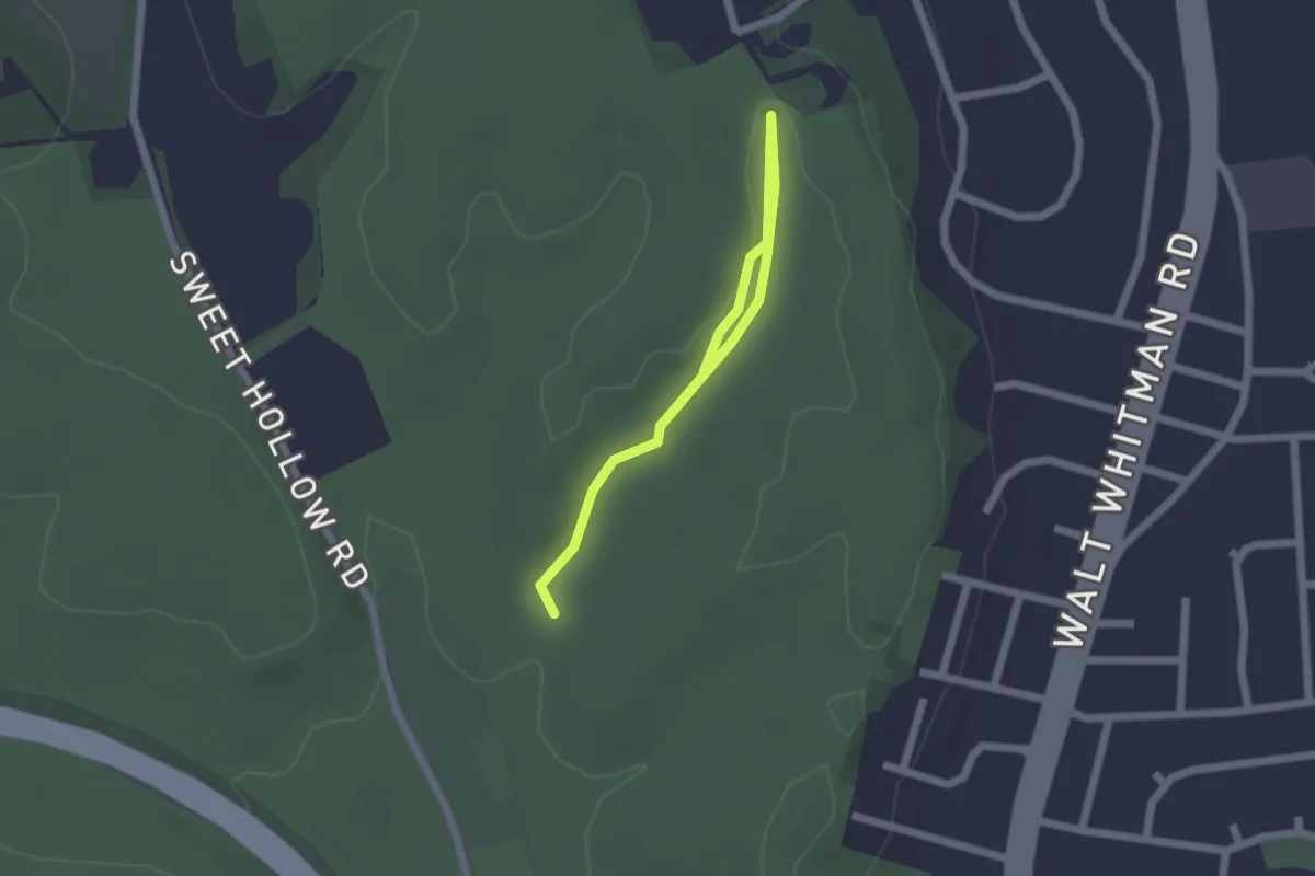
Easy · Trail
Sand Trail
2.4 km · ↑ 26 m · 37 min
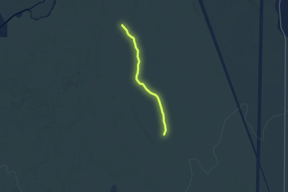
Medium · Trail
Sand Trail
9.2 km · ↑ 25 m · 2 h 14 min
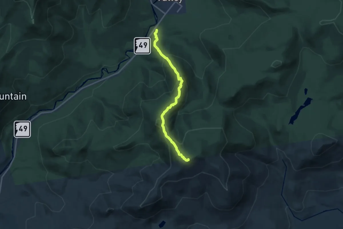
Demanding · Summit
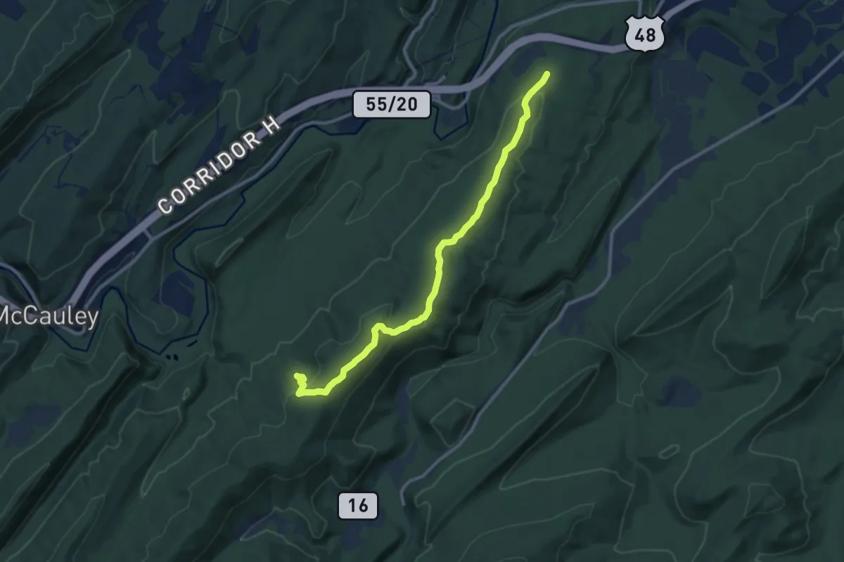
Sandwich Mountain Trail
11.0 km · ↑ 848 m · 4 h 27 min
Medium · Trail
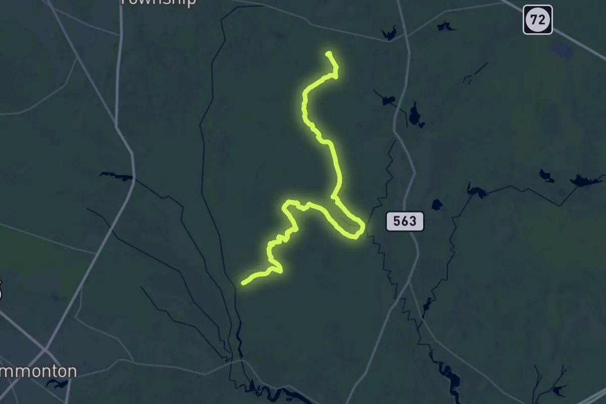
Sandy Ridge Trail
11.4 km · ↑ 316 m · 3 h 22 min
Demanding · Summit
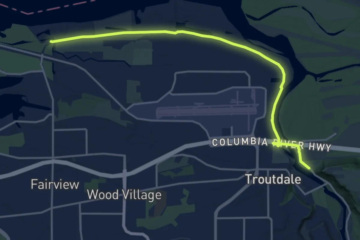
Sandy Ridge - Tulpehocken Trail
59.3 km · ↑ 86 m · 14 h 11 min
Medium · Trail
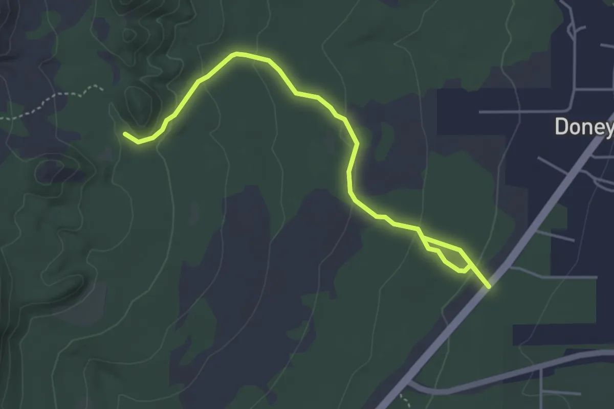
Sandy River Greenway
12.6 km · ↑ 8 m · 2 h 59 min
Easy · Trail
Sandy Seep Trail
5.5 km · ↑ 136 m · 1 h 36 min
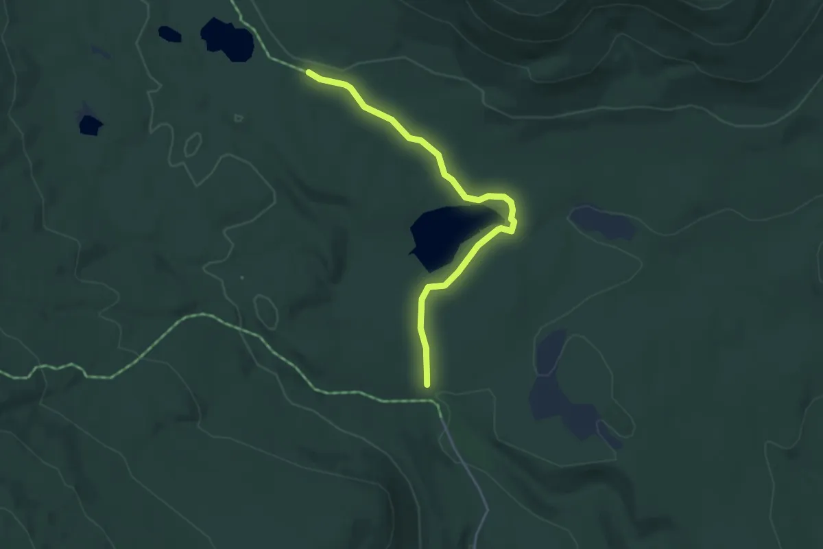
Easy · Trail
Sandy Stream Pond Trail
4.1 km · ↑ 49 m · 1 h 4 min
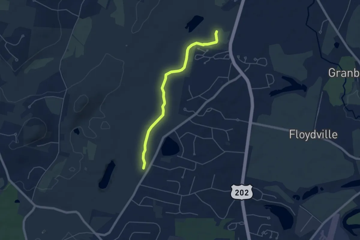
Easy · Trail
Sandy Trail
5.0 km · ↑ 34 m · 1 h 15 min
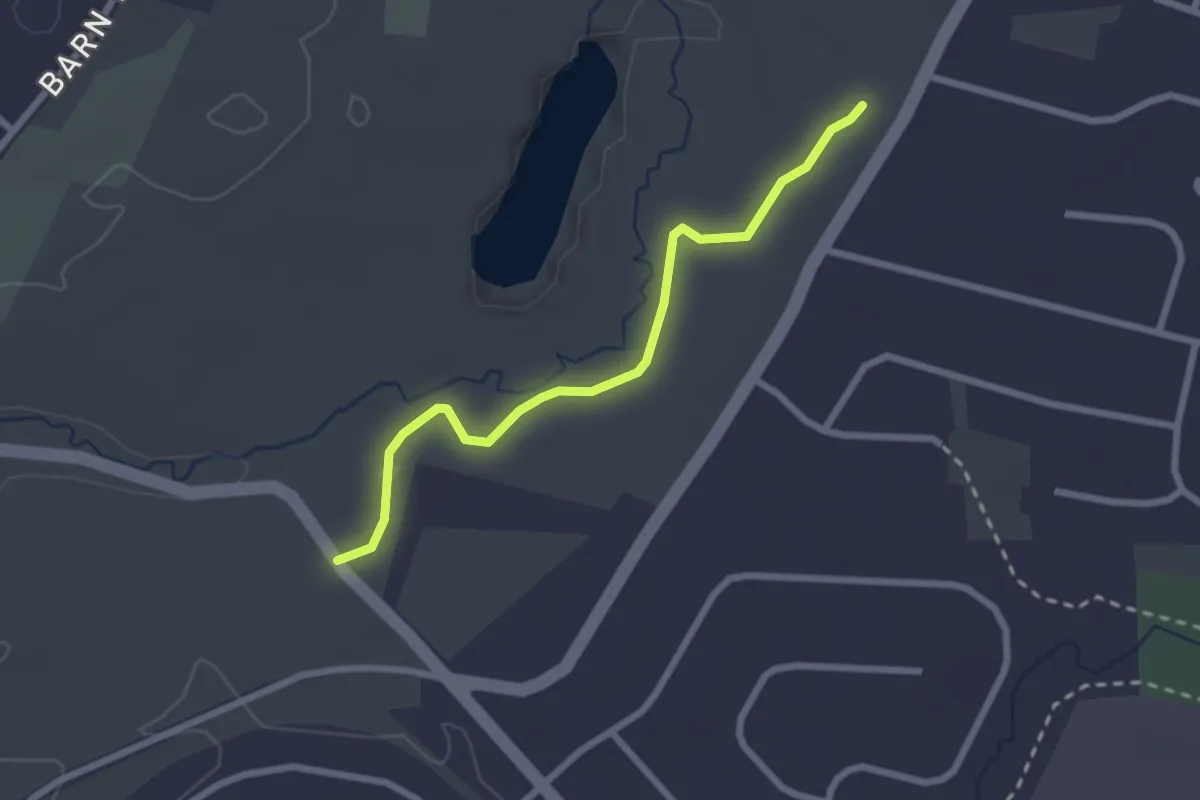
Easy · Trail
Sandy Trail
2.6 km · ↑ 38 m · 42 min
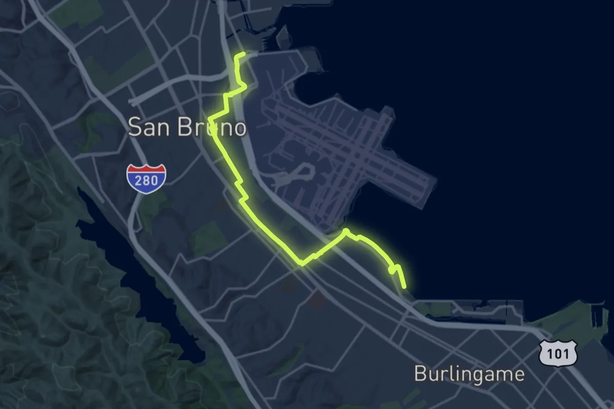
Demanding · Trail
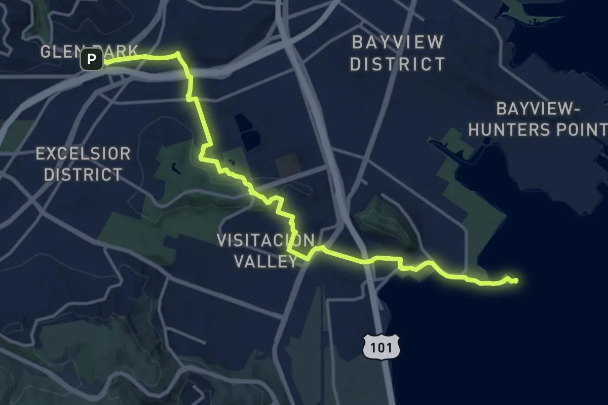
San Francisco Bay Trail walking route (in development)
19.2 km · ↑ 36 m · 4 h 37 min
Medium · Trail
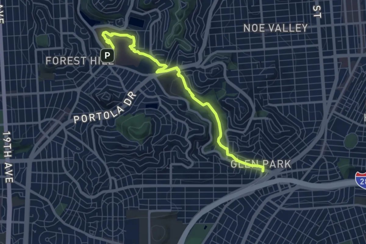
San Francisco Crosstown Trail - Hiking - Section 1
16.3 km · ↑ 310 m · 4 h 31 min
Medium · Trail
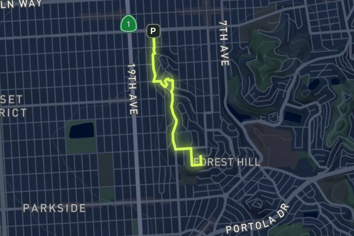
San Francisco Crosstown Trail - Hiking - Section 2
9.4 km · ↑ 269 m · 2 h 48 min
Easy · Summit
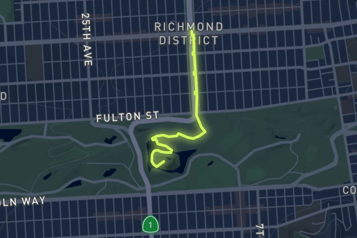
San Francisco Crosstown Trail - Hiking - Section 3
5.0 km · ↑ 204 m · 1 h 37 min
Easy · Summit
San Francisco Crosstown Trail - Hiking - Section 4
5.1 km · ↑ 83 m · 1 h 23 min
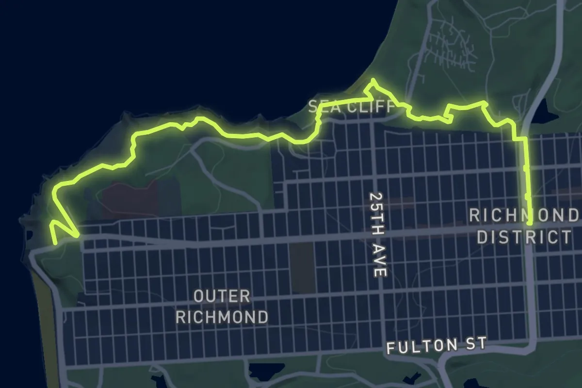
Medium · Trail
San Francisco Crosstown Trail - Hiking - Section 5
12.5 km · ↑ 190 m · 3 h 22 min
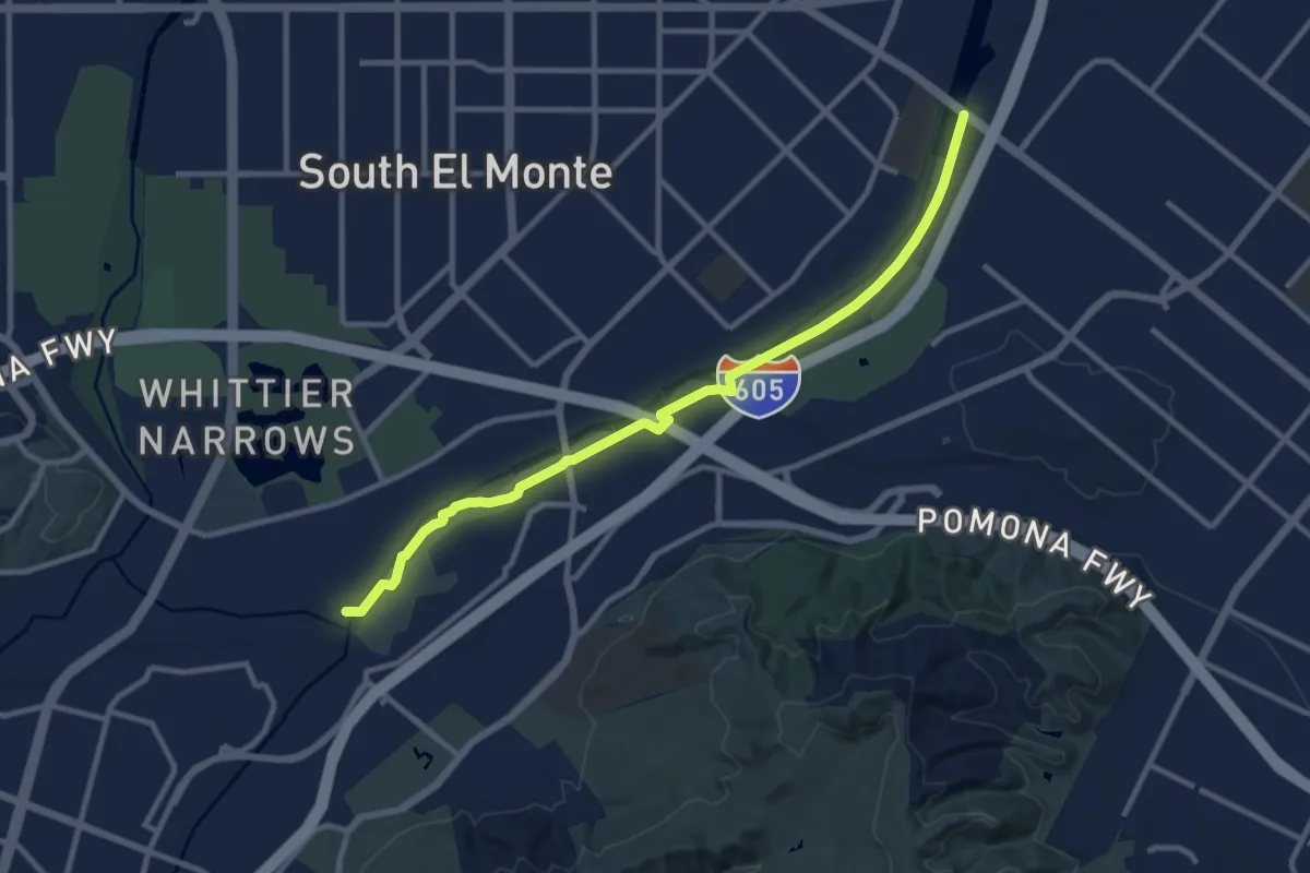
Medium · Trail
San Gabriel River Trail - Eastern Bank
12.8 km · ↑ 26 m · 3 h 5 min
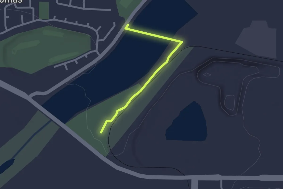
Easy · Trail
San Gabriel River Trail - Lario Connector
2.3 km · ↑ 8 m · 34 min
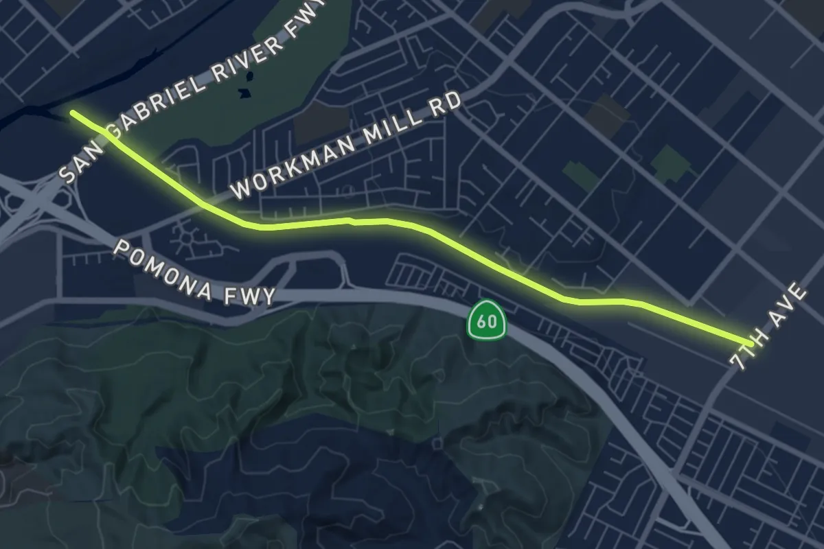
Medium · Trail
San Jose Creek Trail
8.4 km · ↑ 22 m · 2 h 2 min
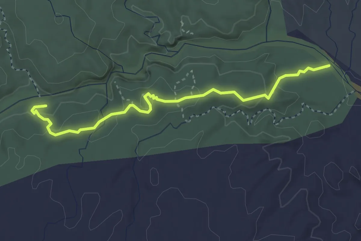
Medium · Trail
San Lorenzo Ridge Trail
3.8 km · ↑ 157 m · 1 h 14 min
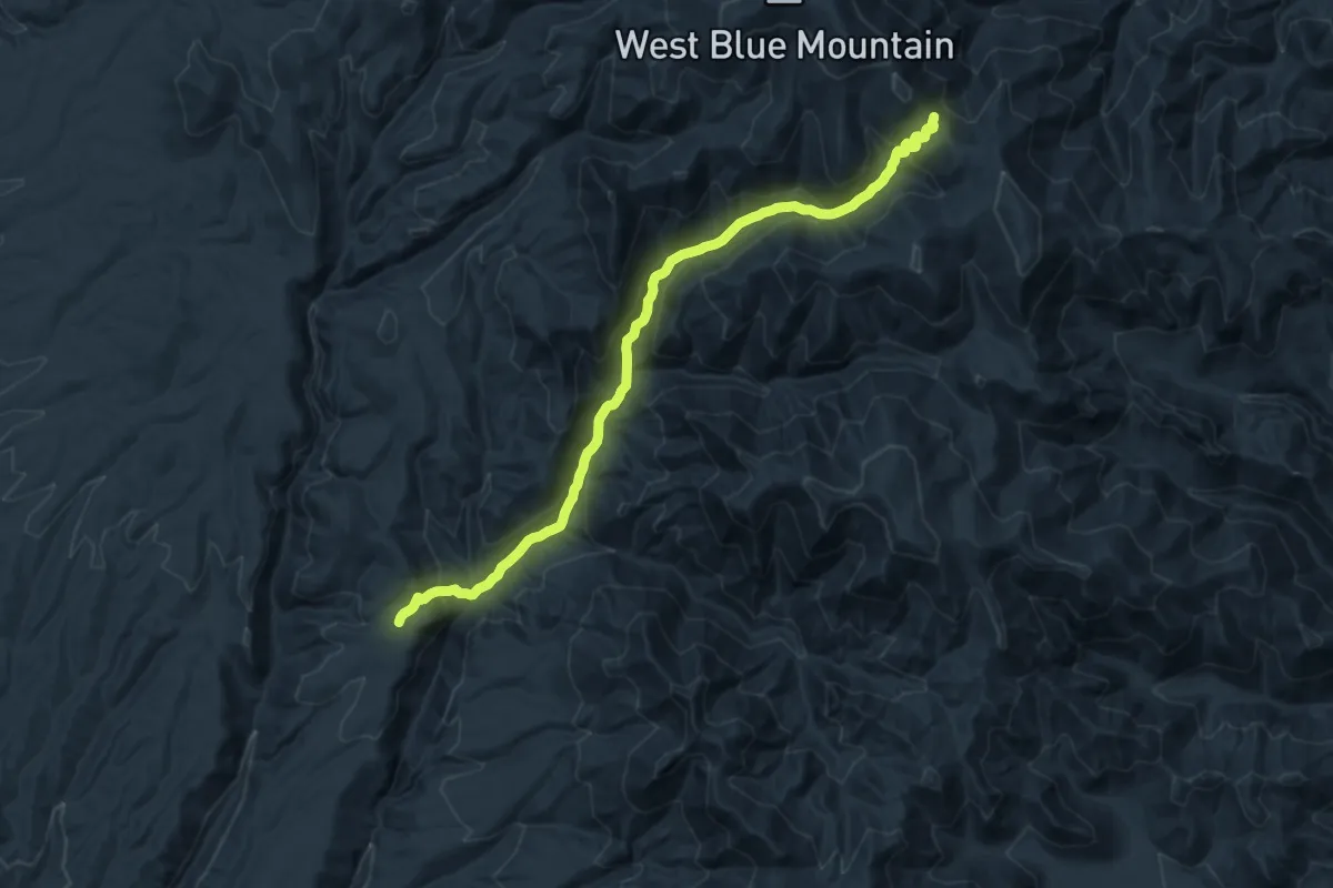
Demanding · Trail
San Mateo Trail
21.1 km · ↑ 1165 m · 7 h 30 min
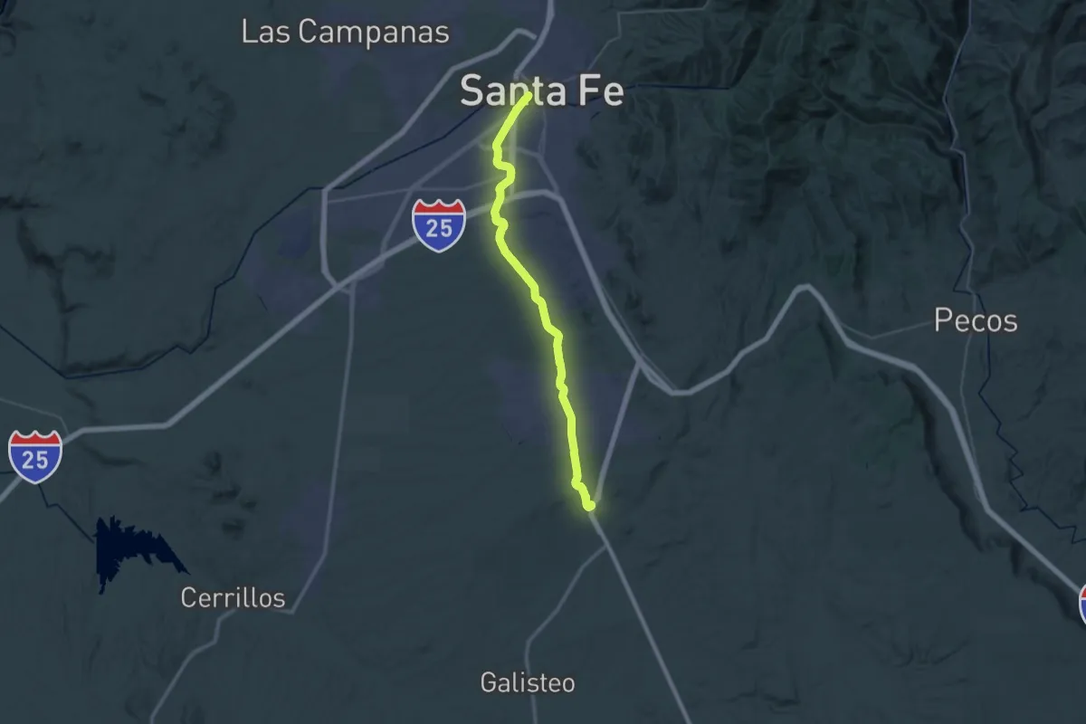
Demanding · Trail
Santa Fe Rail Trail
26.8 km · ↑ 199 m · 7 h 5 min
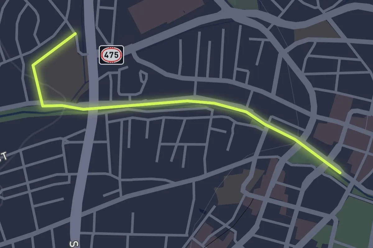
Easy · Trail
Santa Fe River Trail
3.6 km · ↑ 27 m · 54 min
Easy · Trail
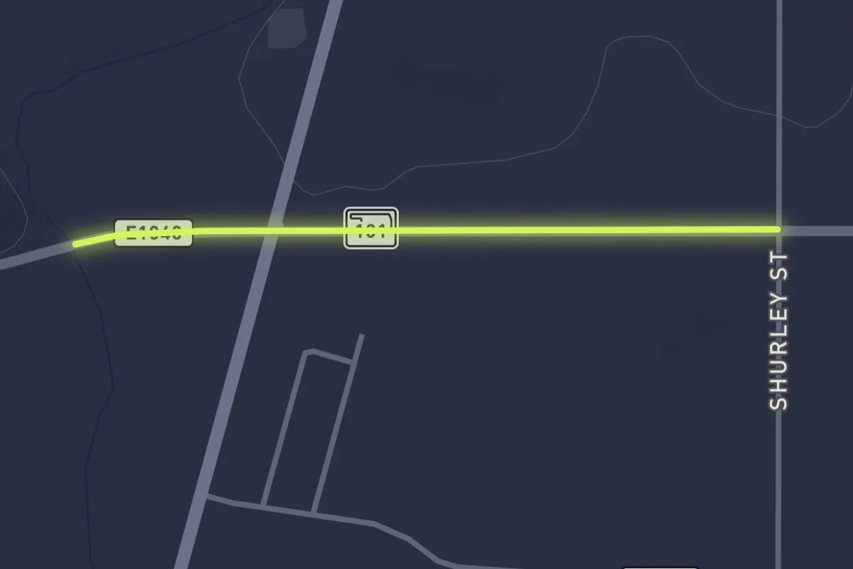
Santa Fe Trail
2.9 km · ↑ 4 m · 41 min
Medium · Summit
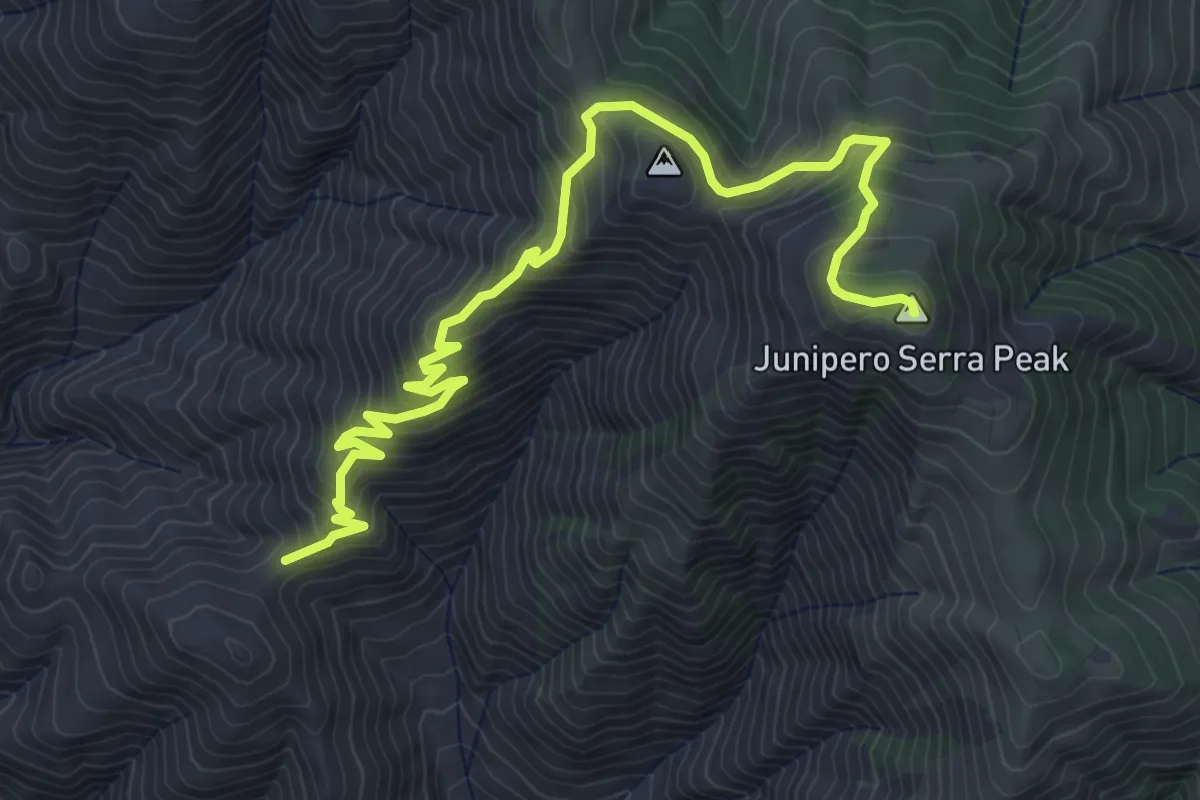
Santa Lucia Peak Trail
7.2 km · ↑ 610 m · 3 h 2 min
Demanding · Trail
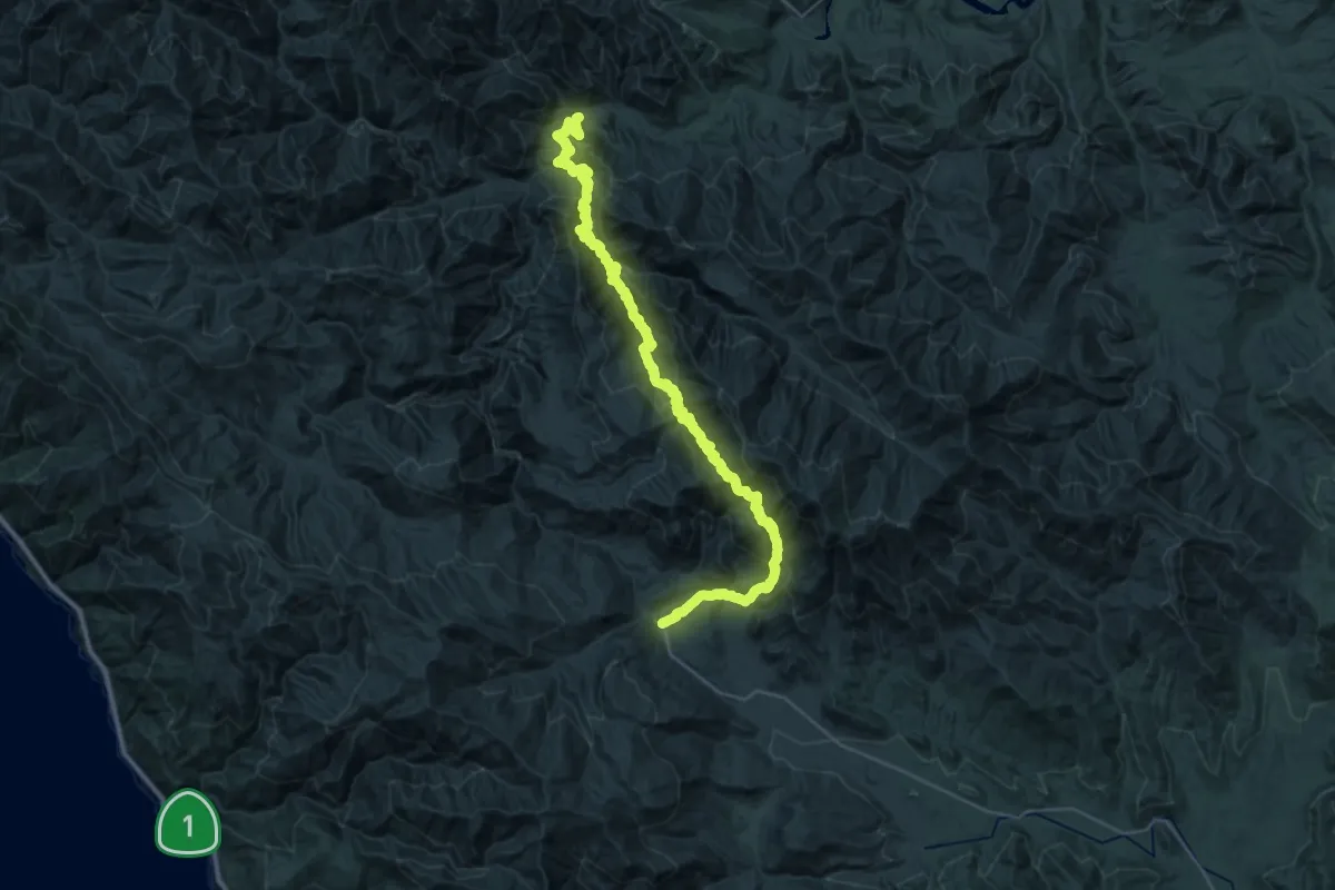
Santa Lucia Trail
23.7 km · ↑ 1681 m · 9 h 24 min
Easy · Trail
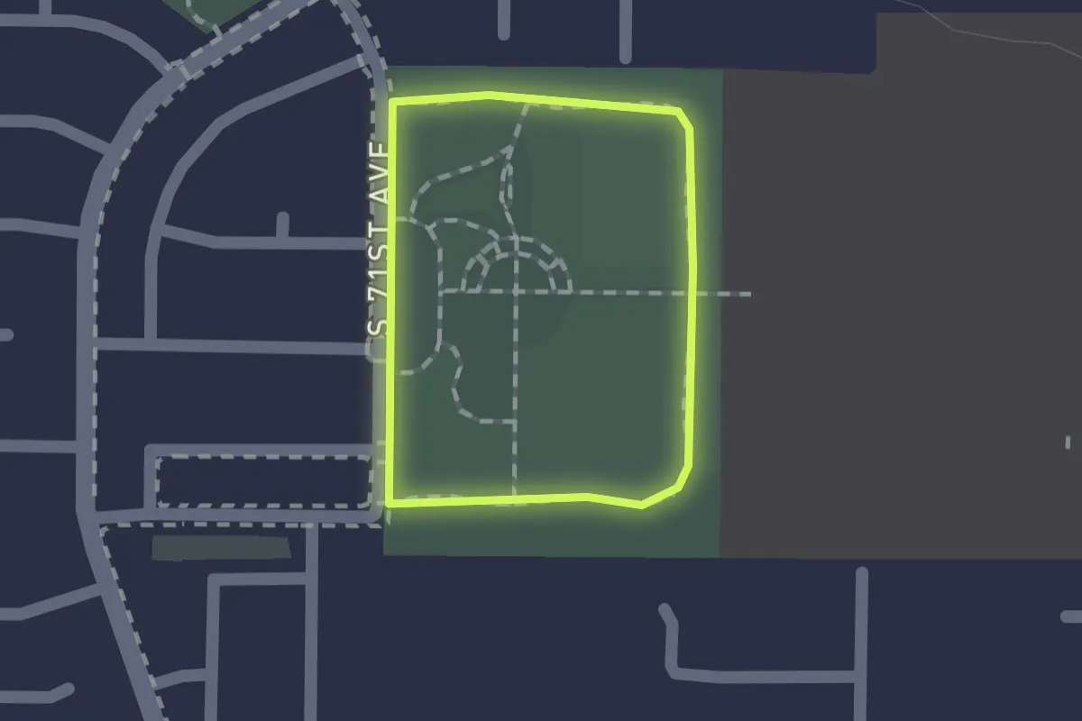
Santa Maria Park Walking Path
1.1 km · ↑ 0 m · 17 min