Trails in United States
10,367 hiking trails, each with its route, climb, walking time and grade.
All trails, page 168 of 216
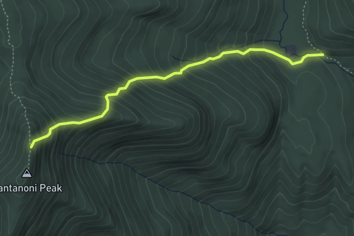
Medium · Trail
Santanoni Express Trail
4.3 km · ↑ 545 m · 2 h 12 min
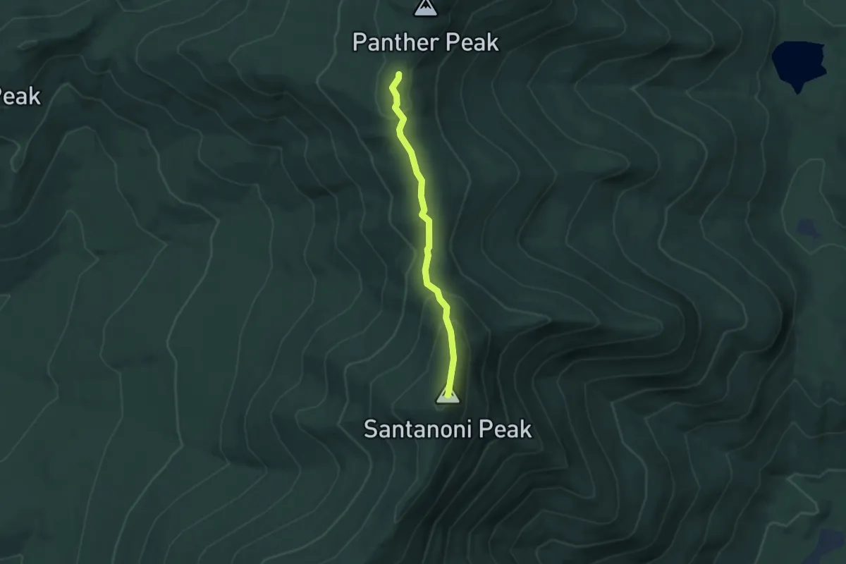
Medium · Summit
Santanoni Trail
3.2 km · ↑ 185 m · 1 h 9 min
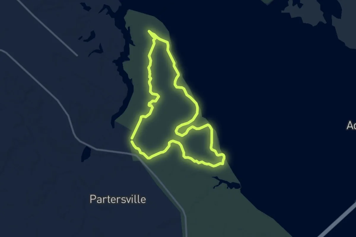
Medium · Trail
Santee Bike Trail
11.5 km · ↑ 17 m · 2 h 54 min
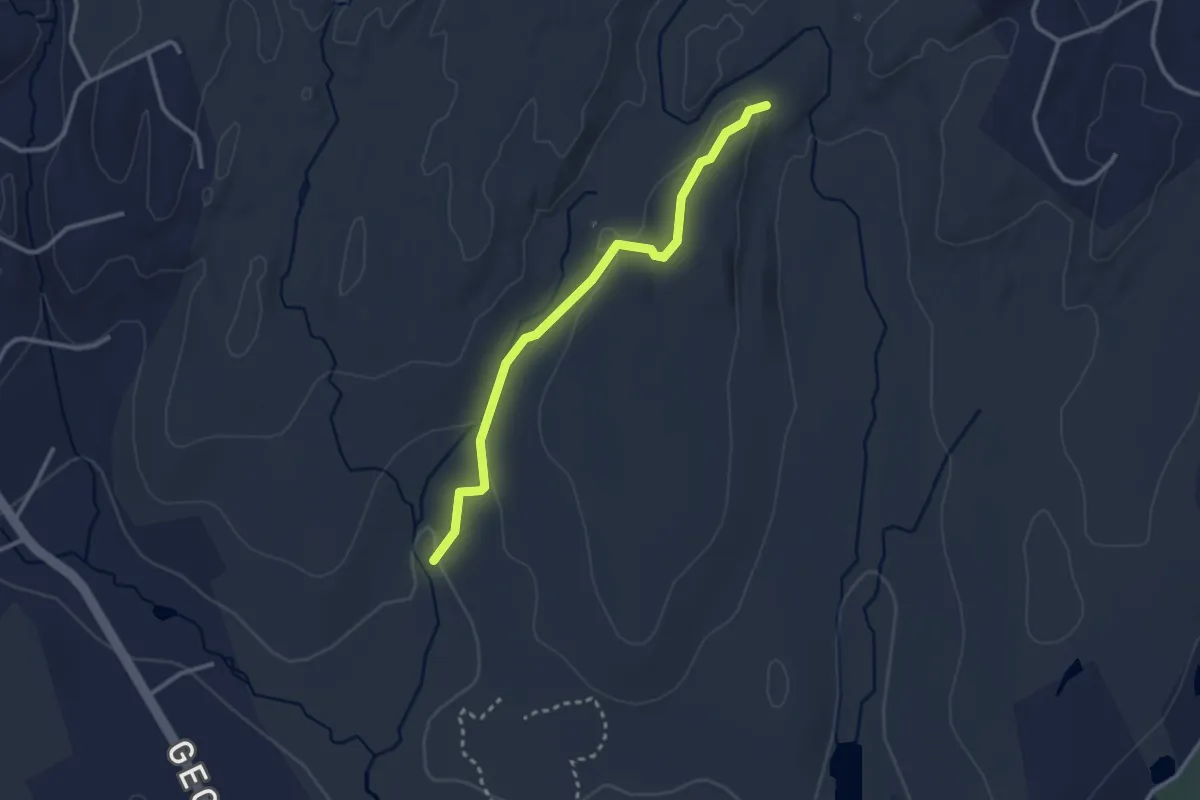
Easy · Trail
Sap Brook Trail
3.1 km · ↑ 83 m · 54 min
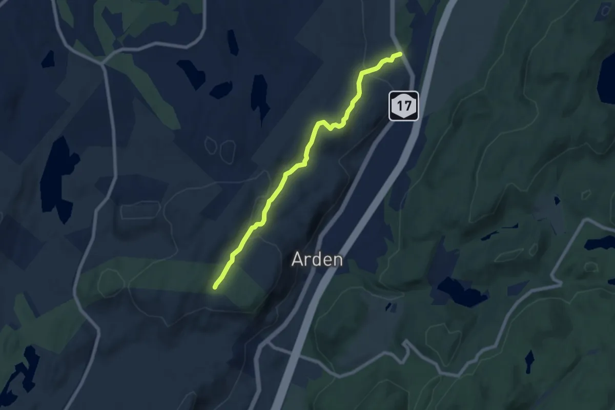
Easy · Trail
Sapphire Trail
6.8 km · ↑ 199 m · 2 h 2 min
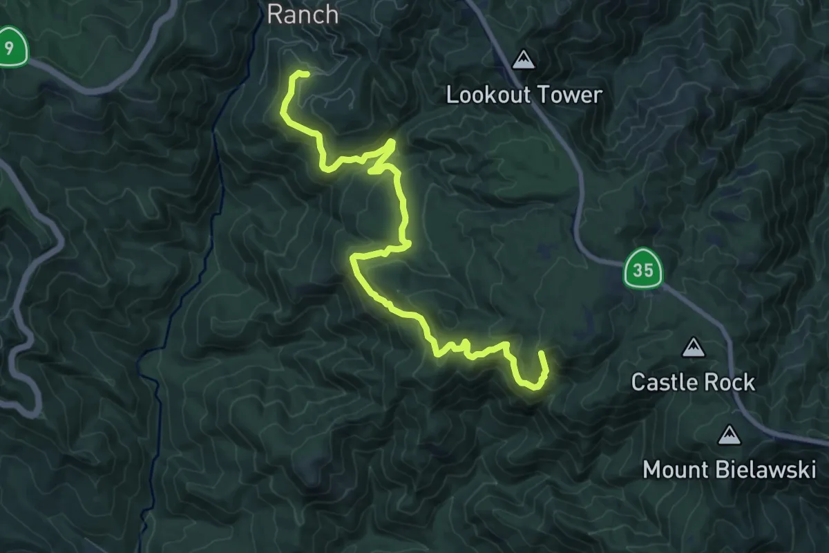
Demanding · Summit
Saratoga Gap Trail
10.5 km · ↑ 472 m · 3 h 30 min
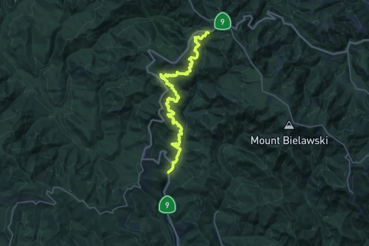
Demanding · Trail
Saratoga Toll Road Trail
21.9 km · ↑ 1025 m · 7 h 23 min
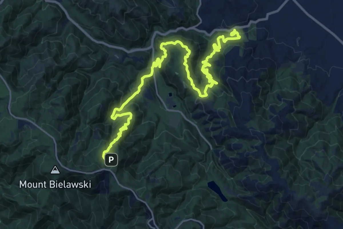
Demanding · Trail
Saratoga to the Skyline
12.3 km · ↑ 253 m · 3 h 57 min
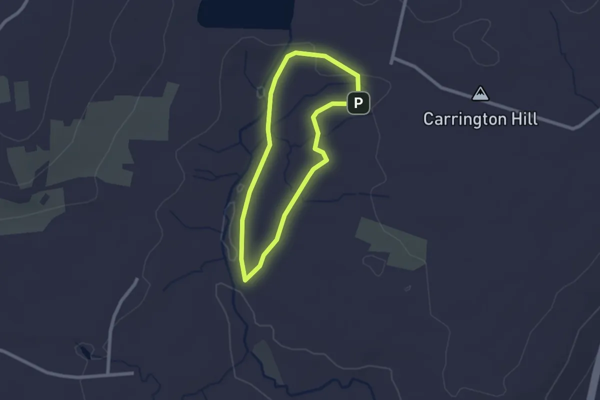
Easy · Trail
Sargent River Trail
1.9 km · ↑ 17 m · 31 min
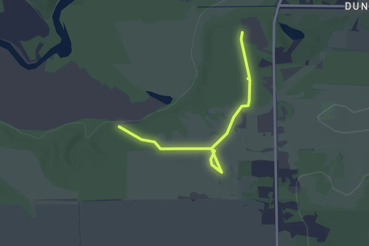
Easy · Trail
Sassafras Lane
2.4 km · ↑ 10 m · 35 min
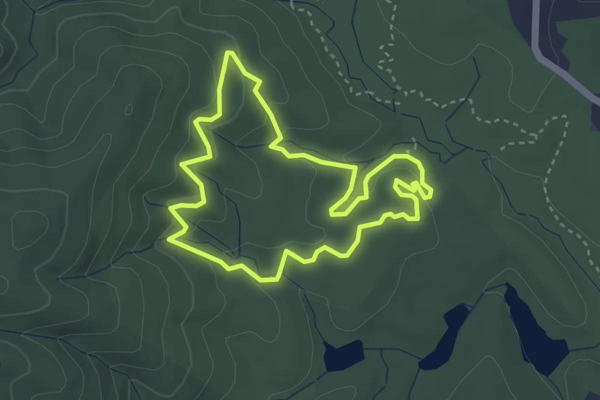
Easy · Trail
Sassafras Loop Trail
3.4 km · ↑ 130 m · 1 h 8 min
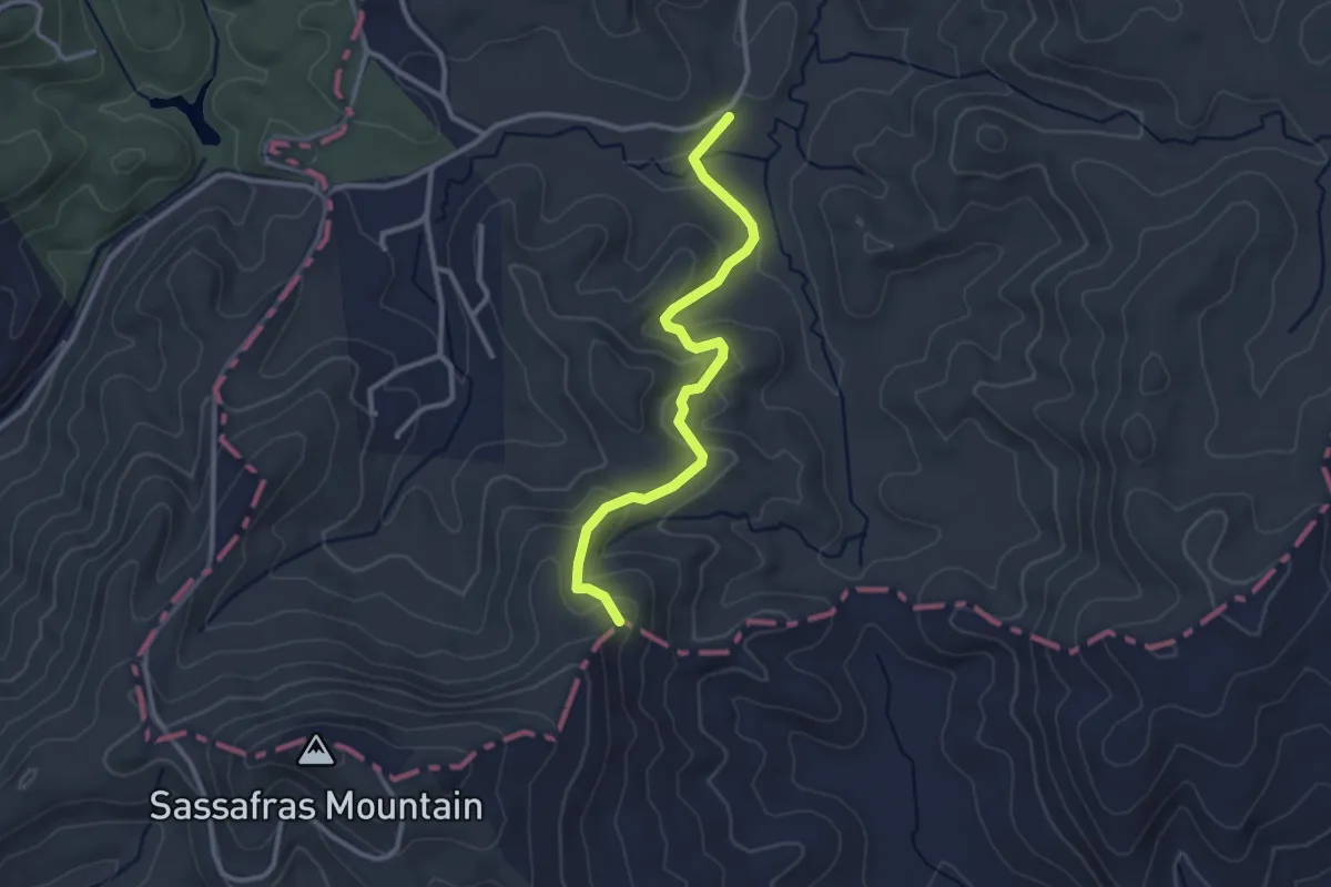
Easy · Trail
Sassafras Mountain Trail
3.4 km · ↑ 136 m · 1 h 6 min
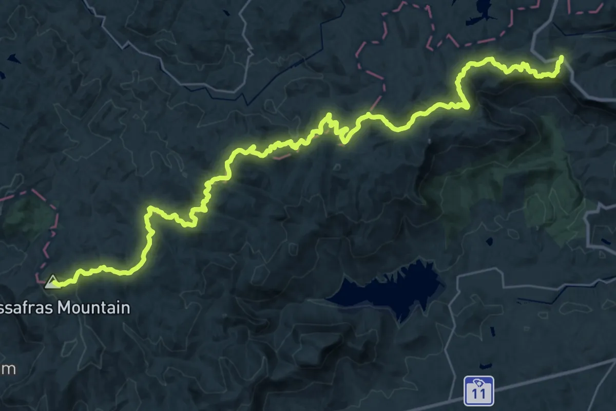
Demanding · Summit
Sassafras to Caeser's Head Spur Trail
45.0 km · ↑ 1920 m · 14 h 48 min
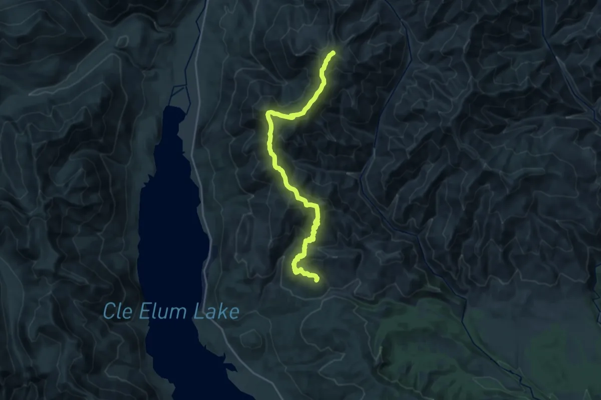
Demanding · Summit
Sasse Mountain Trail
19.9 km · ↑ 1424 m · 7 h 48 min
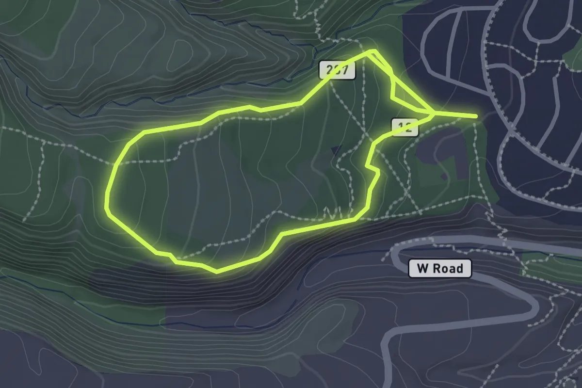
Easy · Trail
Satch Cowan Trail
5.4 km · ↑ 257 m · 1 h 49 min
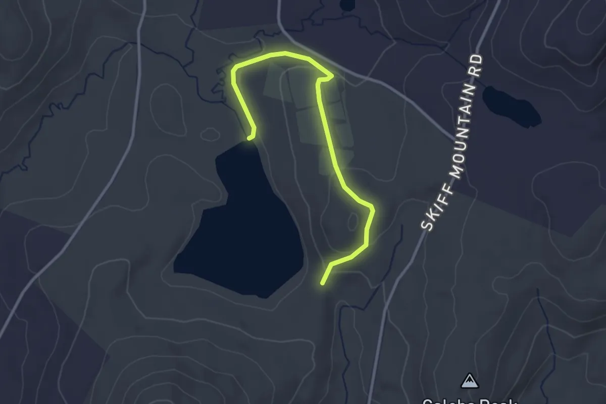
Easy · Trail
Saturday Afternoon Trail
3.3 km · ↑ 101 m · 59 min
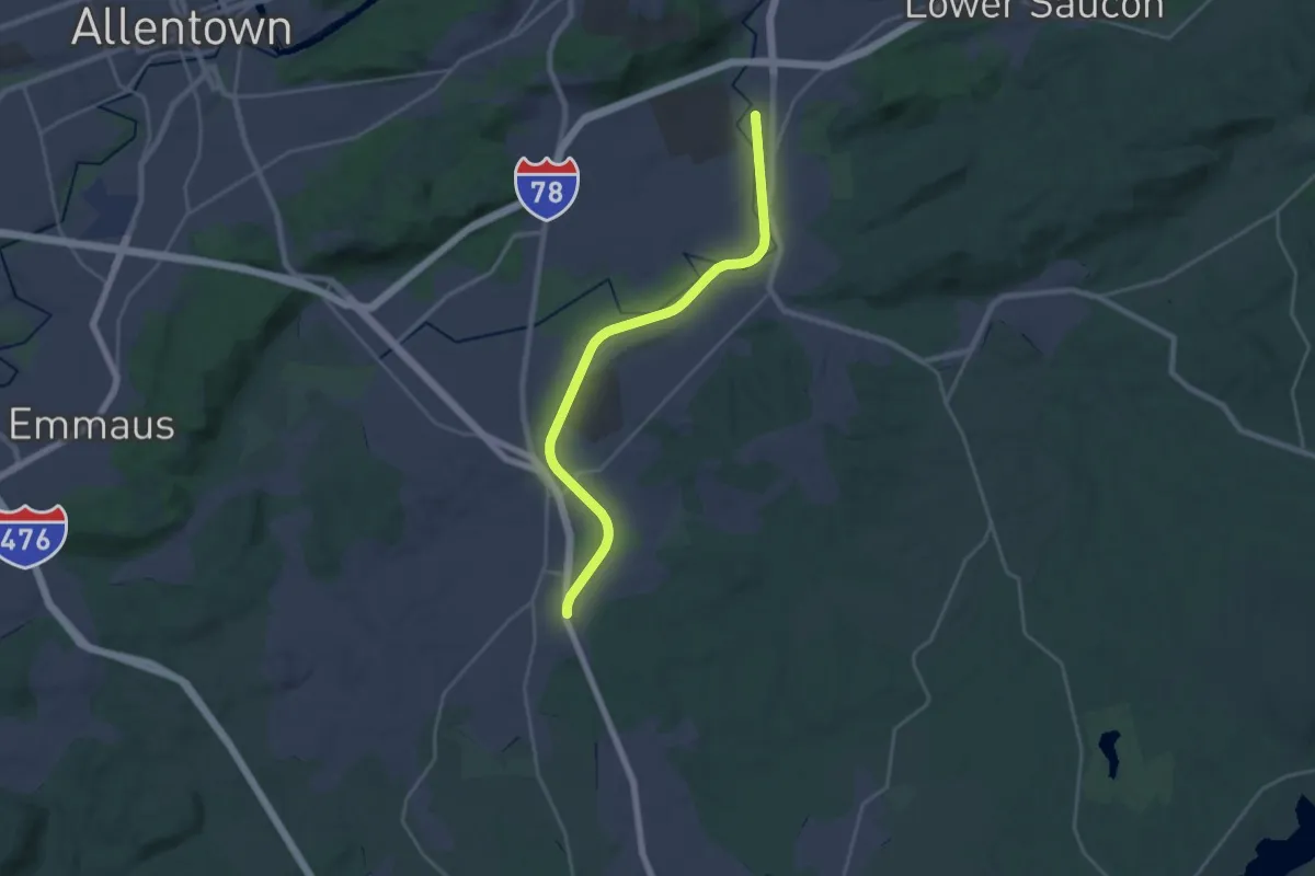
Demanding · Trail
Saucon Rail Trail
24.3 km · ↑ 124 m · 6 h
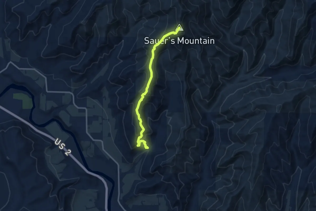
Medium · Summit
Sauer's Mountain Trail
8.3 km · ↑ 600 m · 3 h 15 min
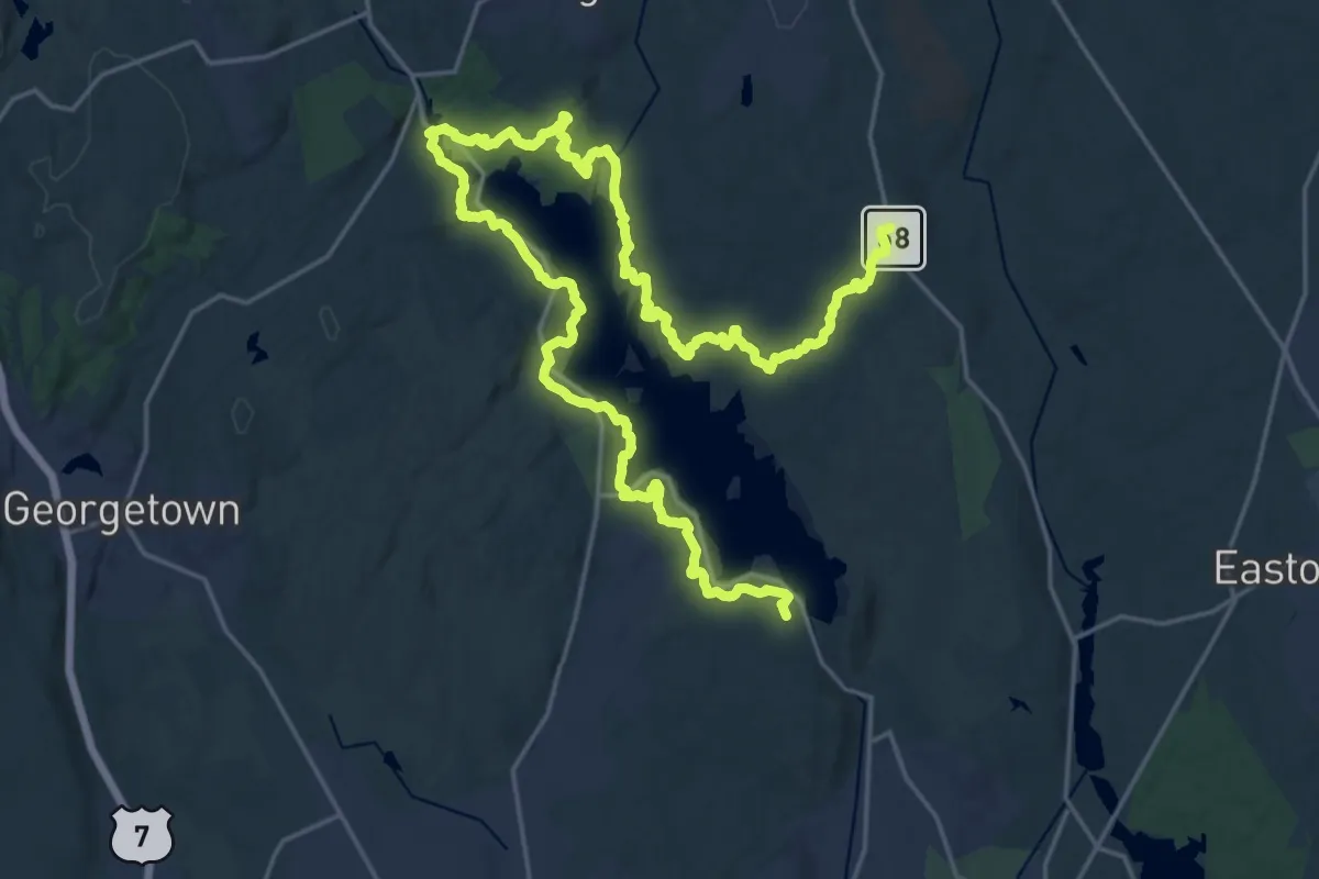
Medium · Trail
Saugatuck Trail
17.6 km · ↑ 436 m · 5 h 22 min
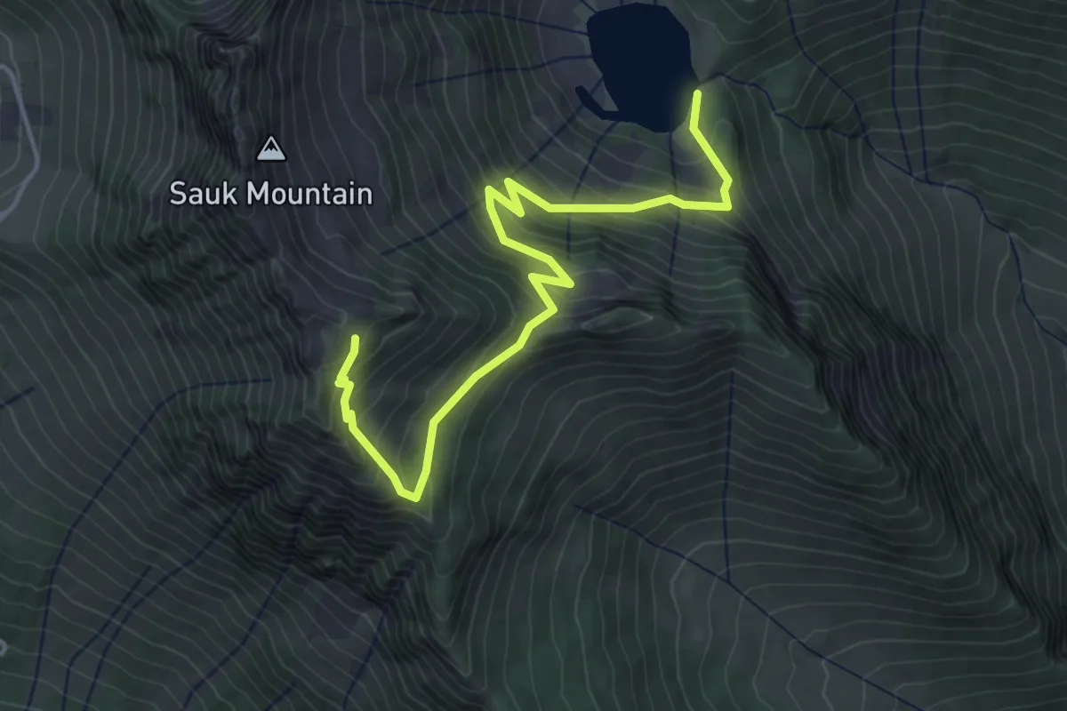
Medium · Trail
Sauk Lake Trail
4.3 km · ↑ 379 m · 1 h 51 min
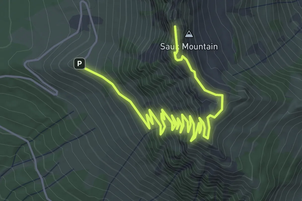
Medium · Summit
Sauk Mountain Trail
5.9 km · ↑ 391 m · 2 h 14 min
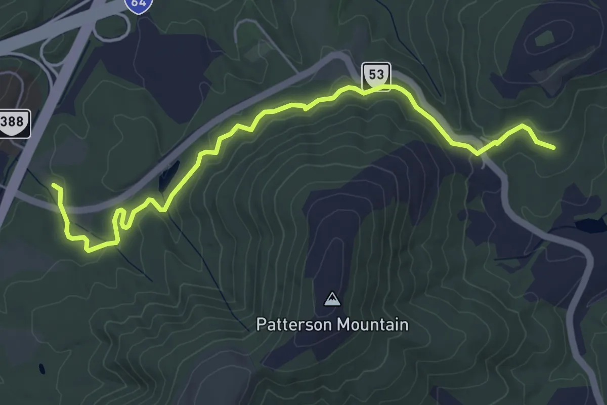
Easy · Trail
Saunders-Monticello Trail
6.8 km · ↑ 136 m · 1 h 54 min
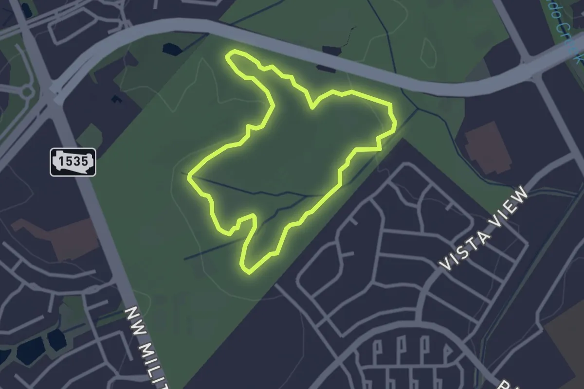
Easy · Trail
Savanna Loop Traip
3.0 km · ↑ 18 m · 47 min
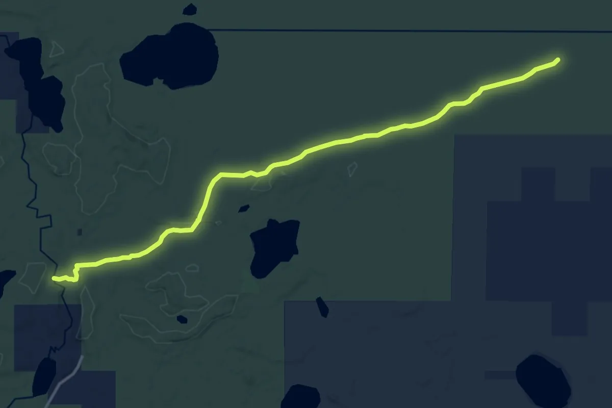
Medium · Trail
Savanna Portage Trail
14.1 km · ↑ 87 m · 3 h 31 min
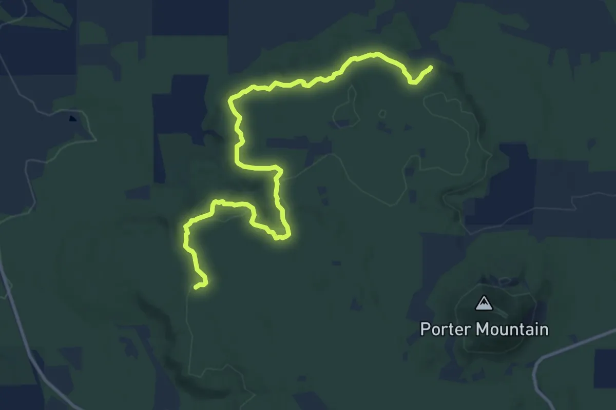
Medium · Trail
Sawmill Connector Trail
13.9 km · ↑ 190 m · 3 h 42 min
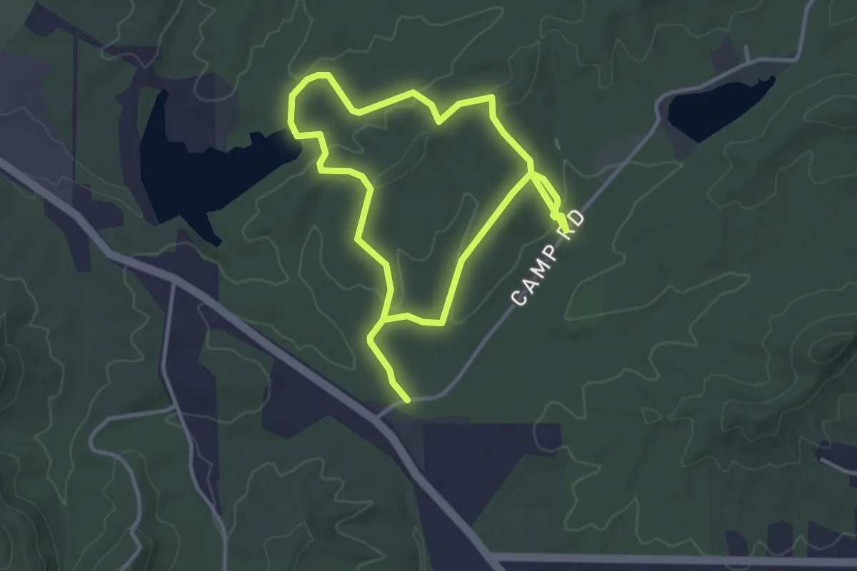
Easy · Trail
Sawmill Hollow Trail
3.2 km · ↑ 74 m · 57 min
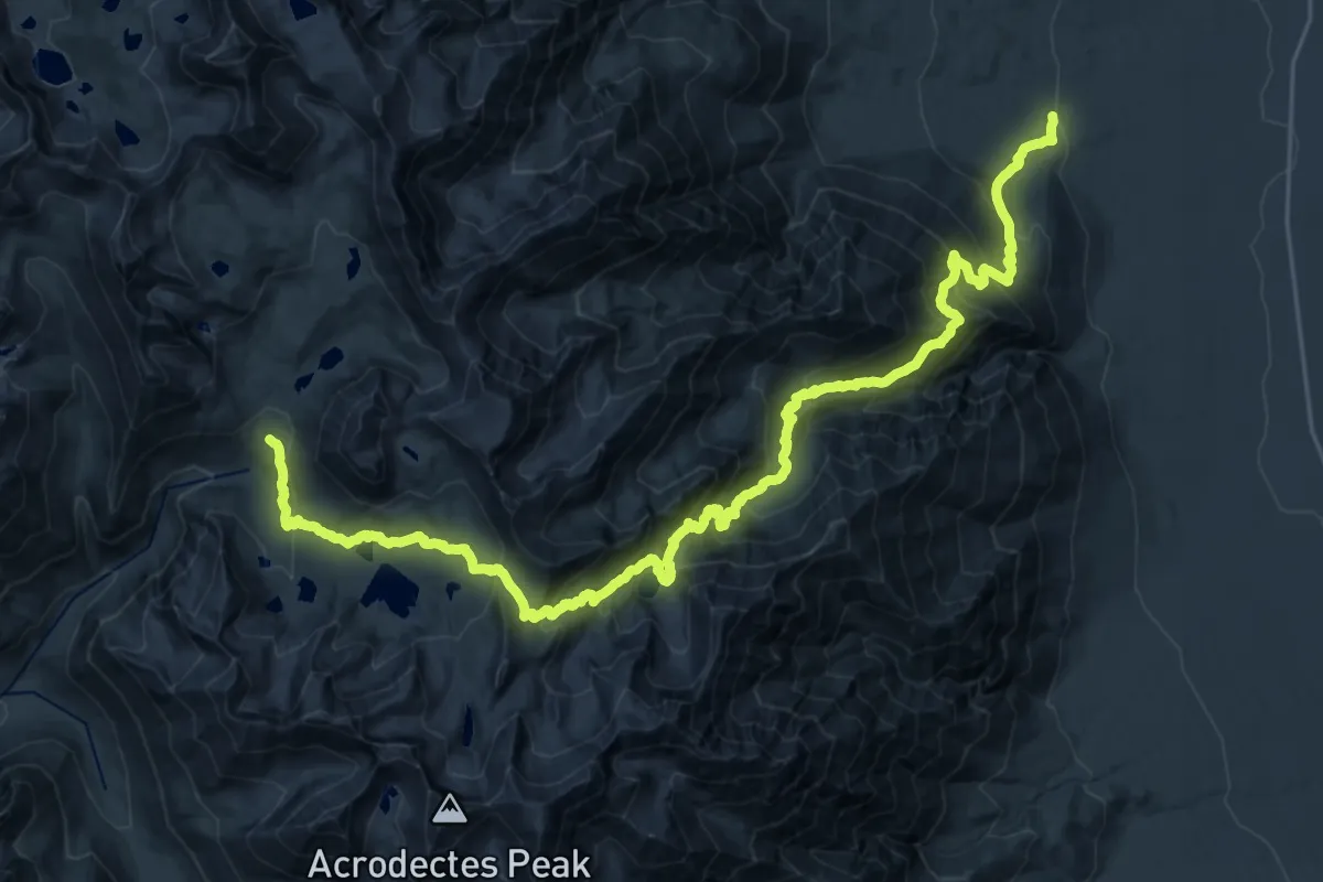
Demanding · Trail
Sawmill Pass Trail
19.8 km · ↑ 2164 m · 8 h 46 min
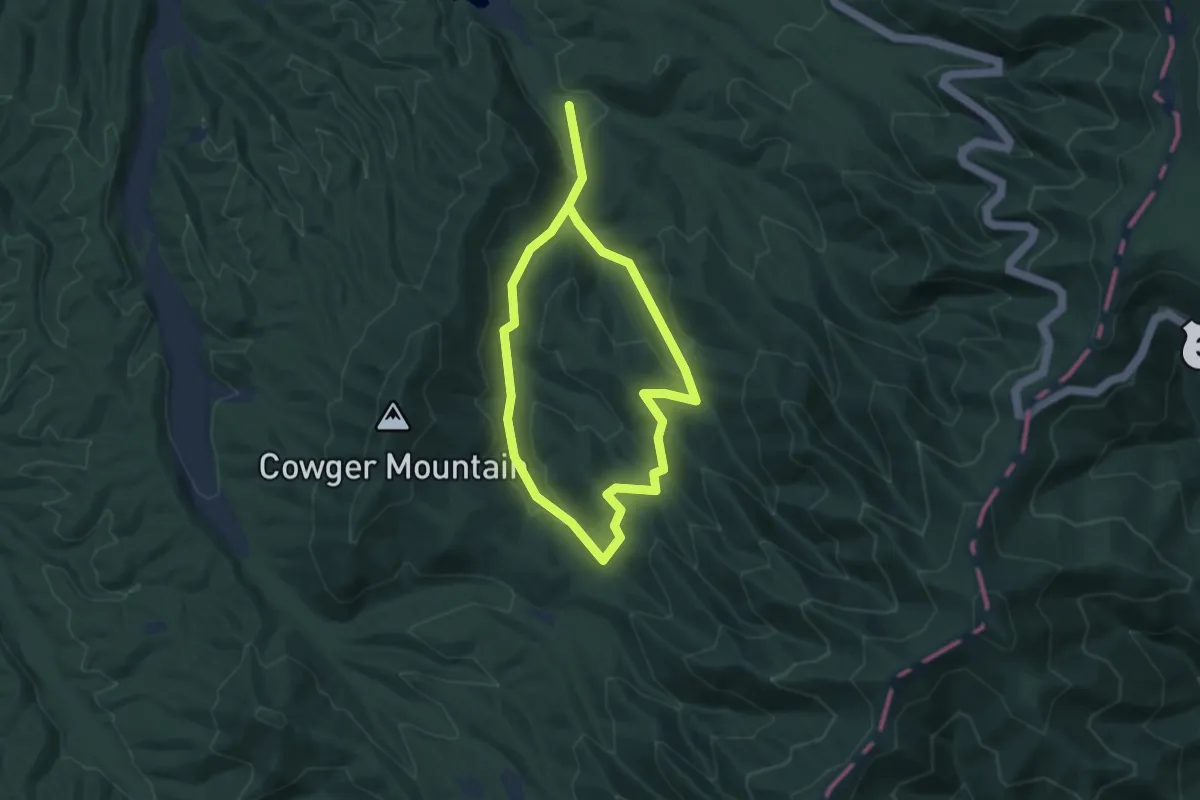
Medium · Trail
Saw Mill Trail
11.9 km · ↑ 382 m · 3 h 39 min
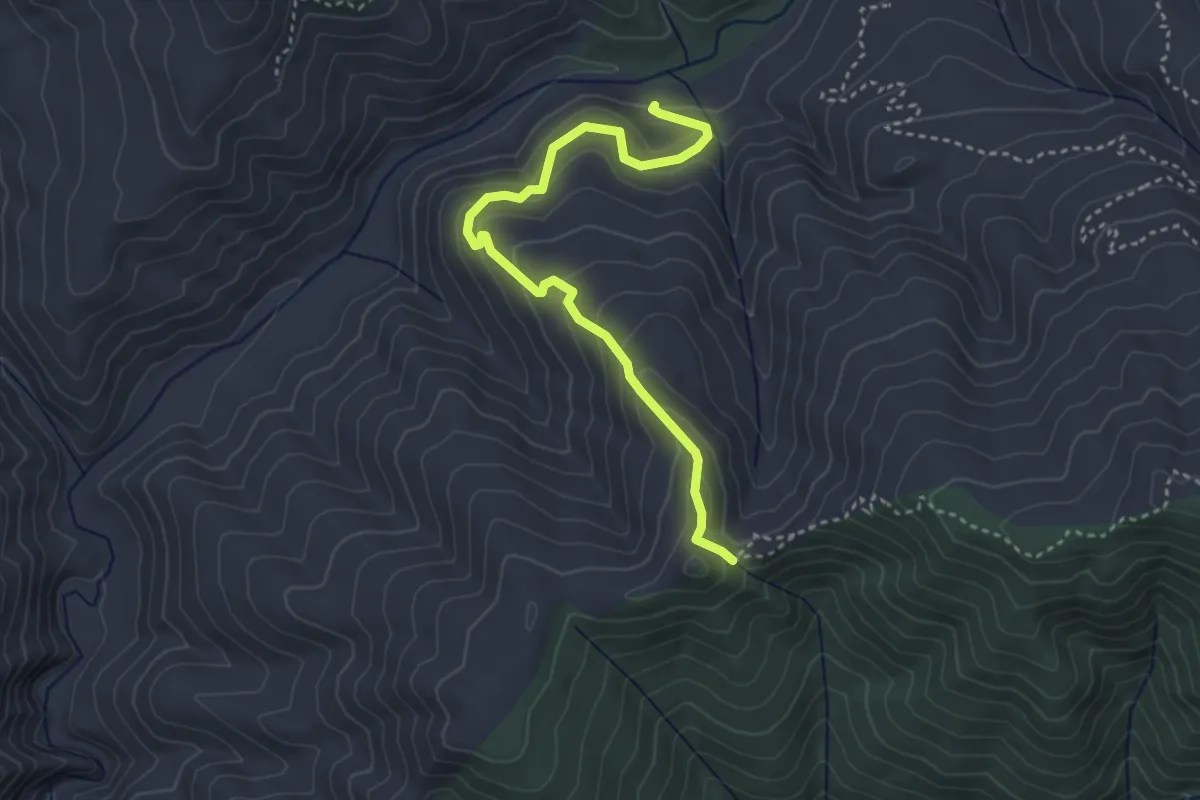
Easy · Trail
Sawpit Trail
4.3 km · ↑ 278 m · 1 h 36 min
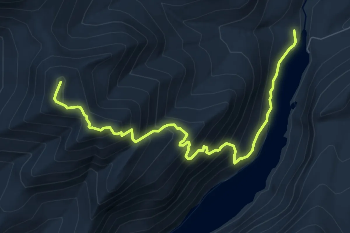
Demanding · Summit
Sawteeth Scenic Trail
7.9 km · ↑ 811 m · 3 h 37 min
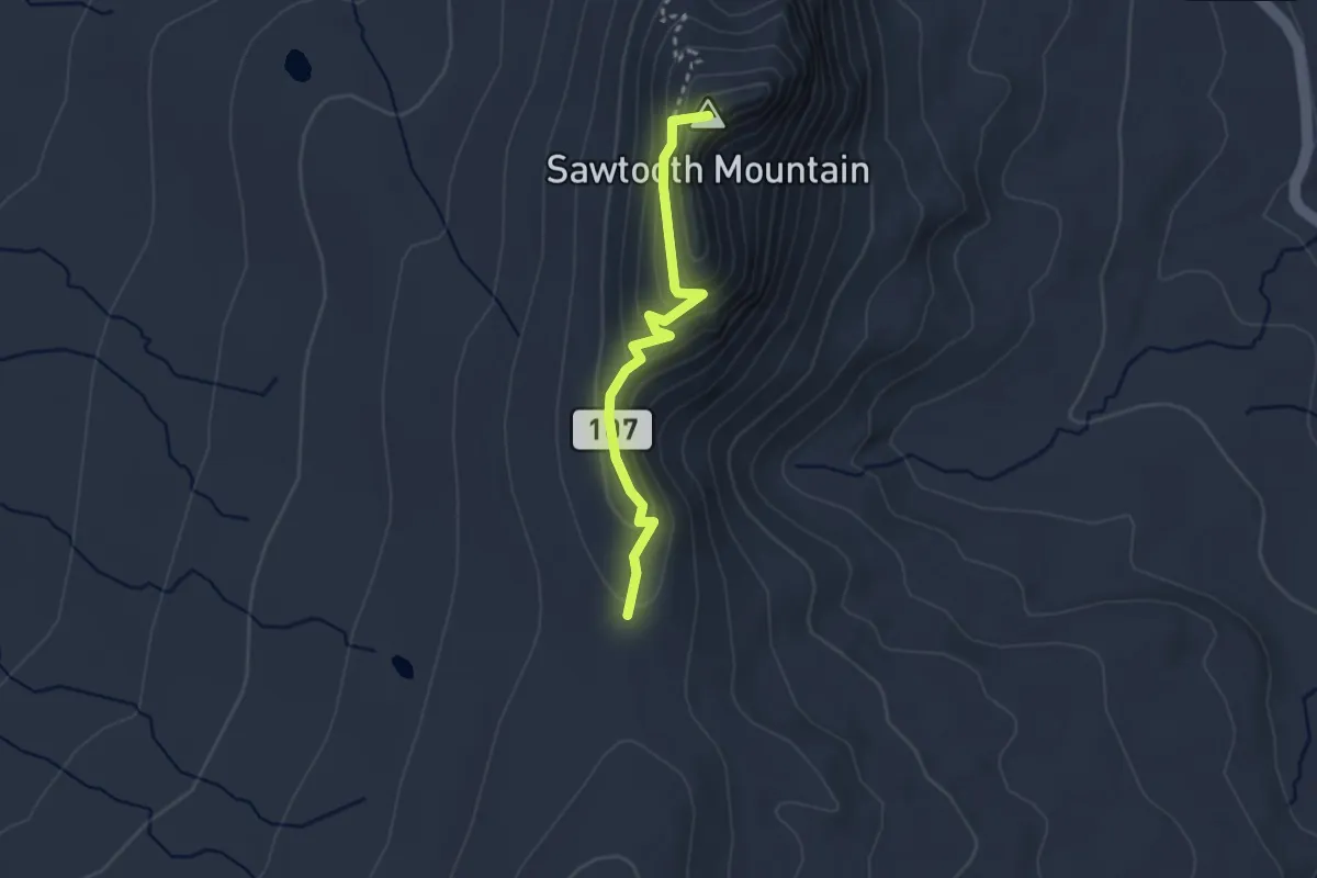
Medium · Summit
Sawtooth Mountain Trail #107
2.7 km · ↑ 170 m · 1 h
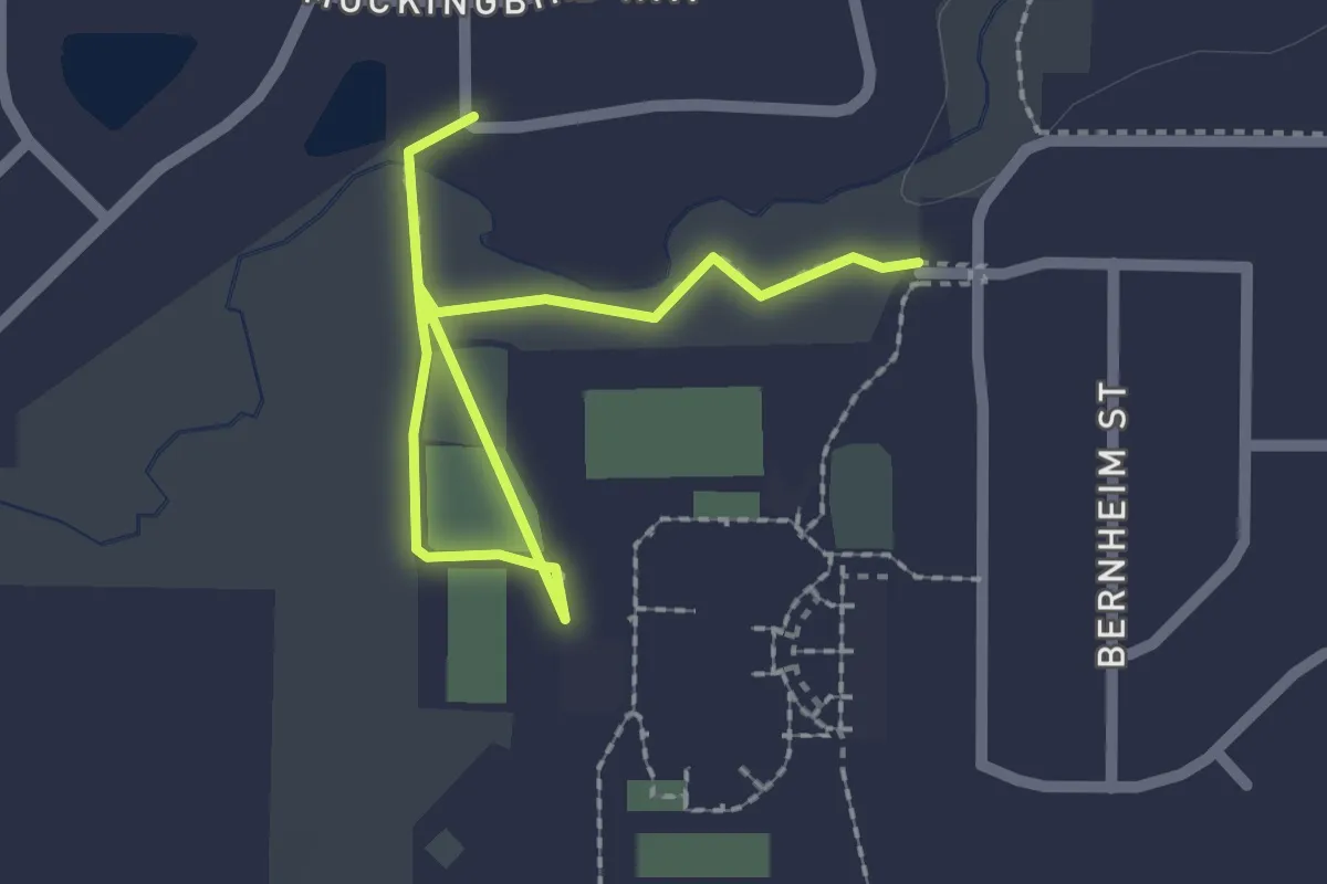
Easy · Trail
Sawyer Creek Trail
2.7 km · ↑ 0 m · 38 min
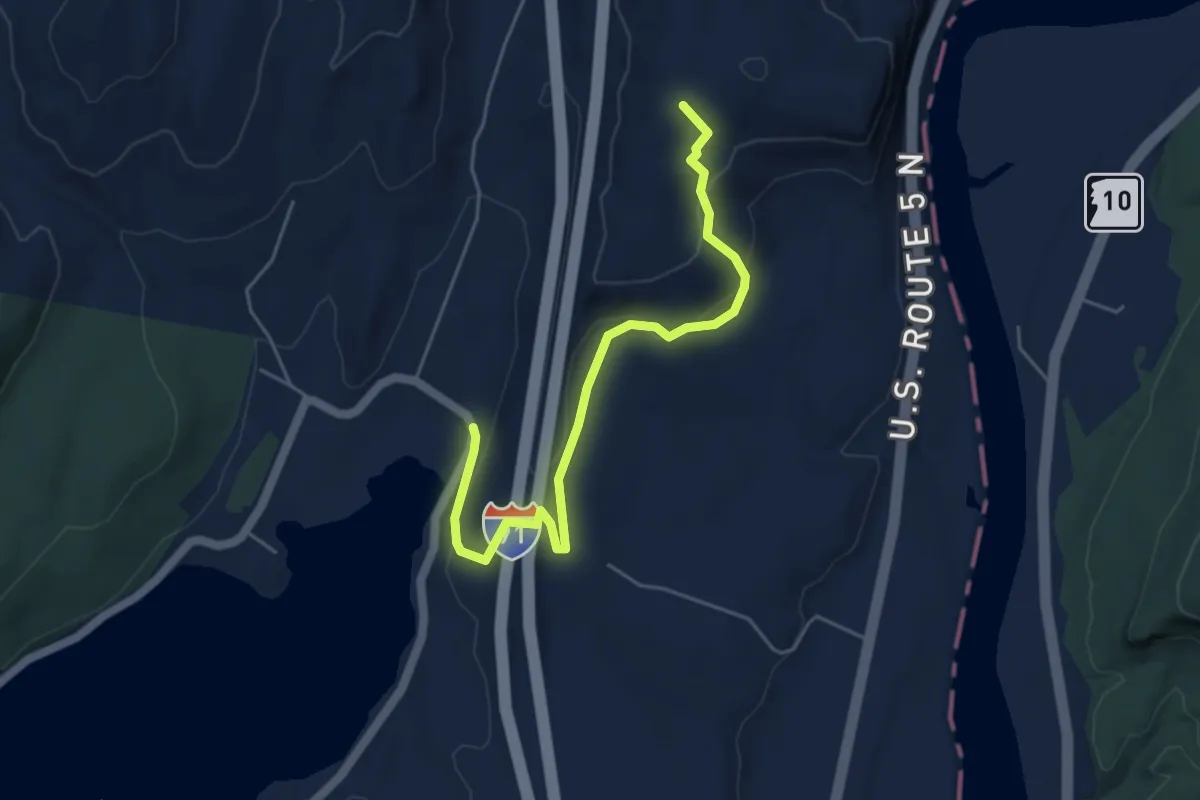
Easy · Summit
Sawyer Mountain Trail
5.4 km · ↑ 262 m · 1 h 51 min
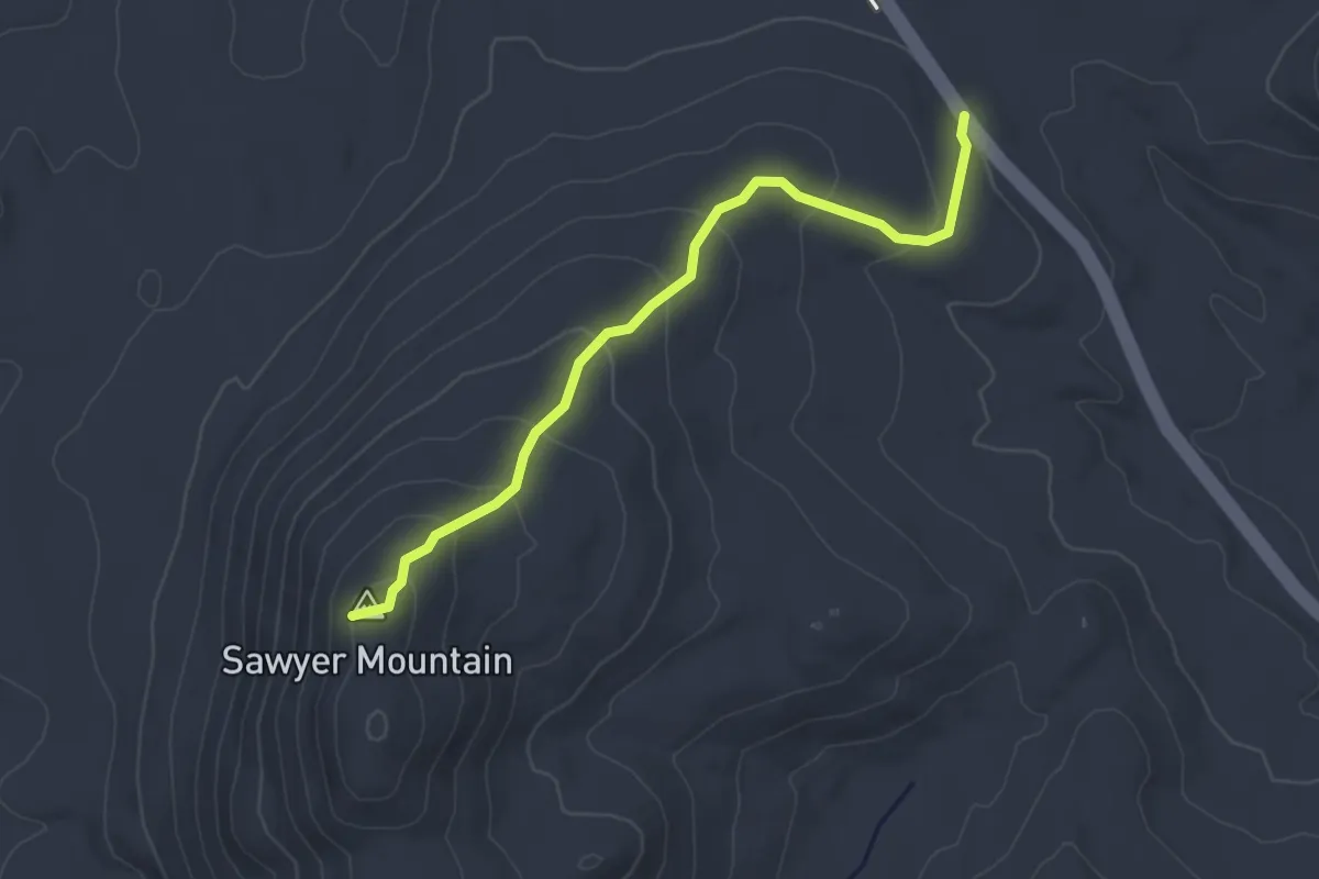
Easy · Trail
Sawyer Mountain Trail
3.6 km · ↑ 206 m · 1 h 17 min
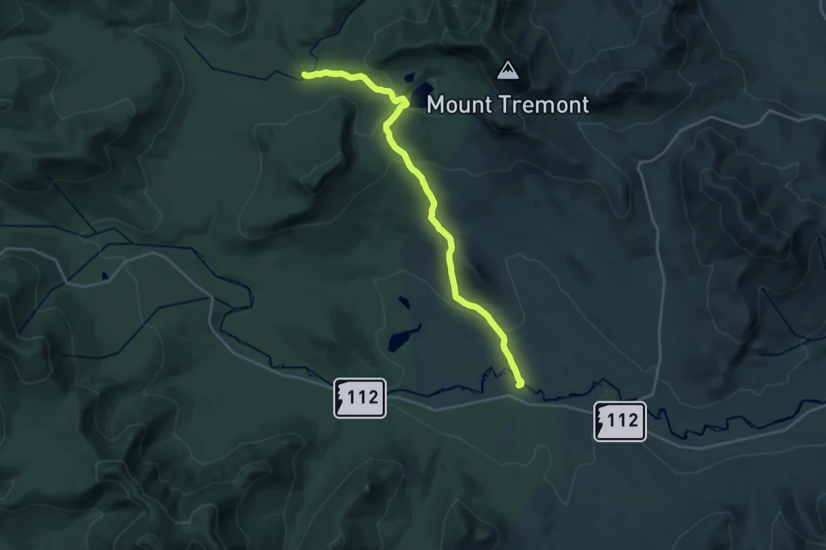
Medium · Trail
Sawyer Pond Trail
17.7 km · ↑ 448 m · 5 h 9 min
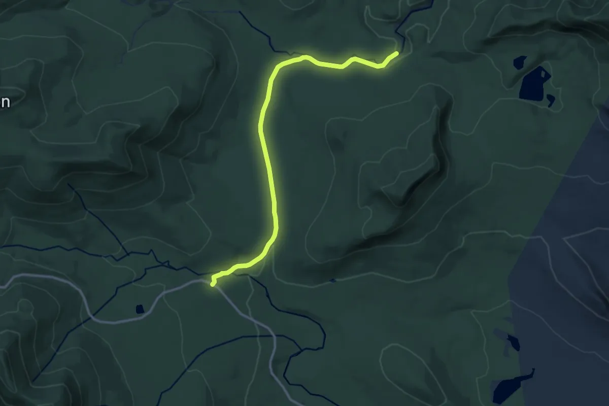
Medium · Trail
Sawyer River Trail
11.9 km · ↑ 117 m · 3 h 4 min
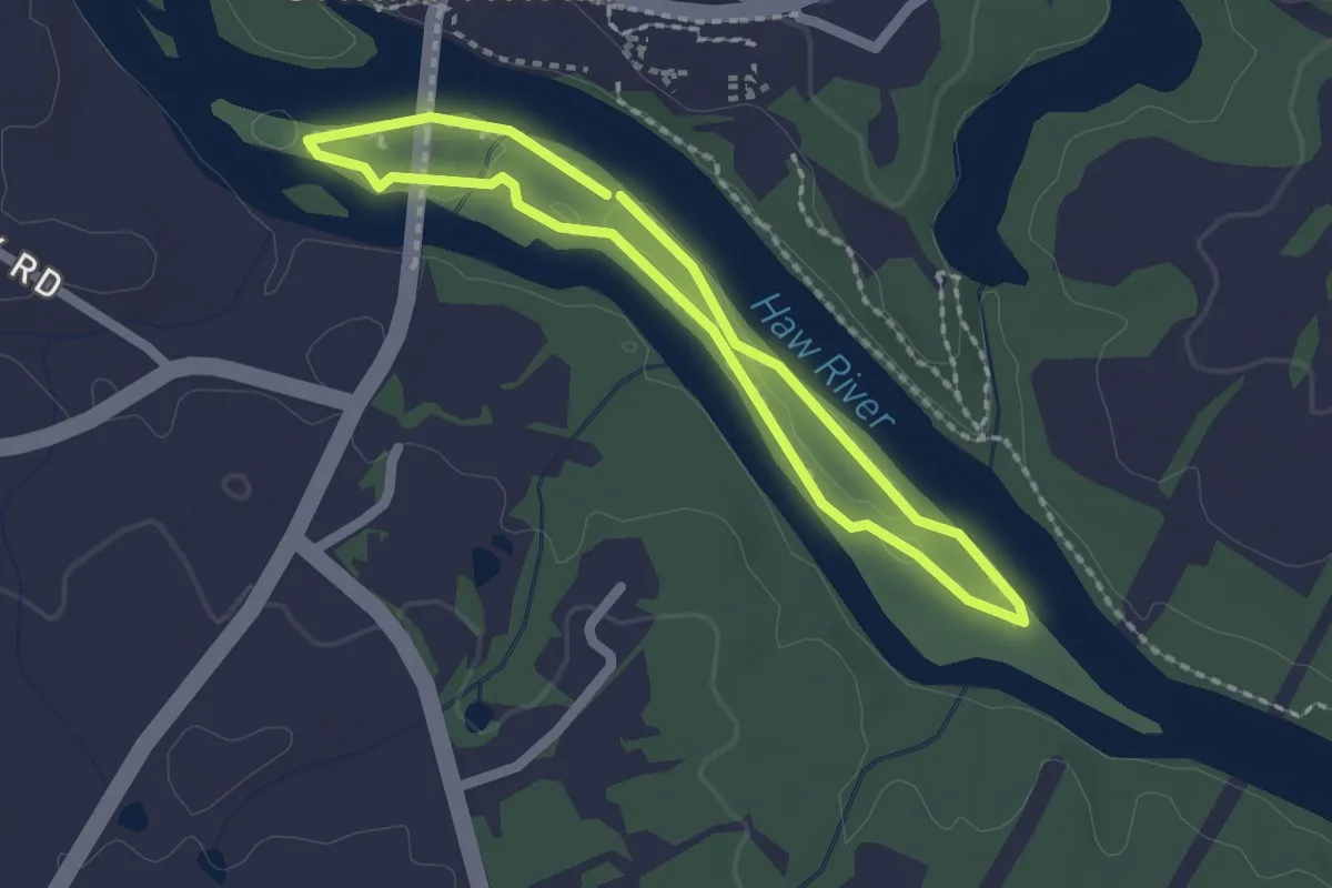
Easy · Trail
Saxapahaw Island Loop
2.0 km · ↑ 0 m · 30 min
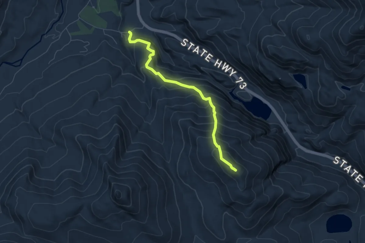
Medium · Summit
S. Burns Weston Trail
6.2 km · ↑ 603 m · 2 h 47 min
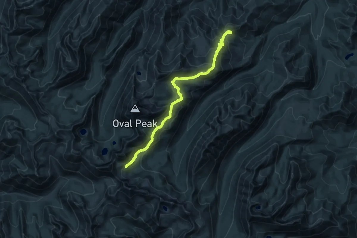
Medium · Trail
Scaffold Ridge/Oval Peak Trail
11.5 km · ↑ 376 m · 3 h 59 min
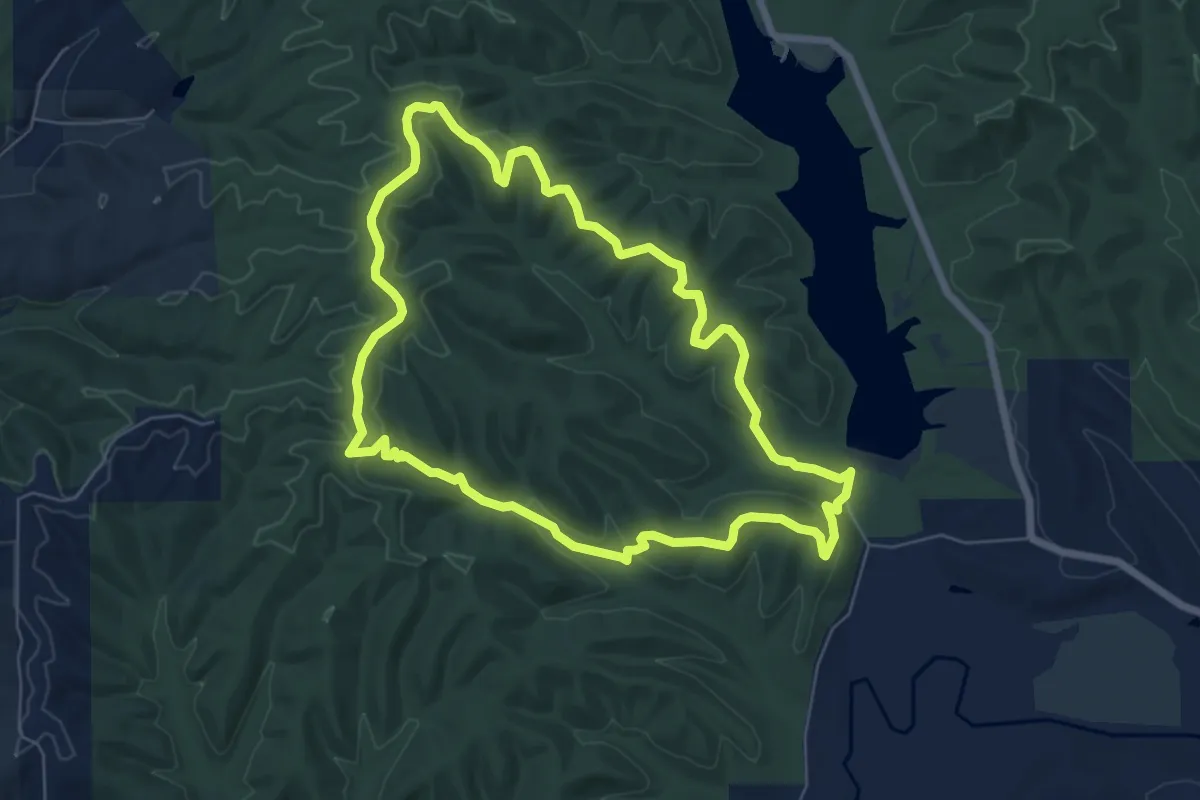
Easy · Summit
Scare O Fat Trail
7.4 km · ↑ 164 m · 2 h 13 min
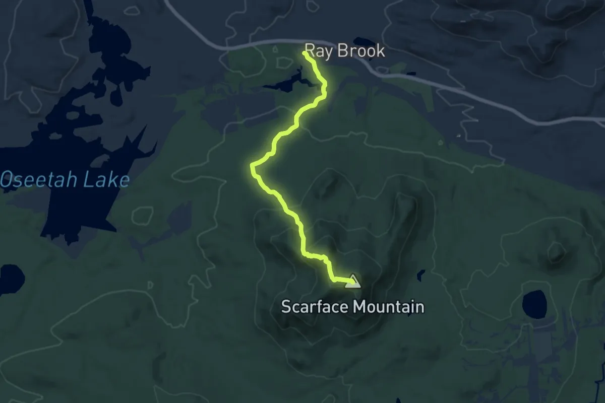
Medium · Summit
Scarface Mountain Trail
11.1 km · ↑ 476 m · 3 h 40 min
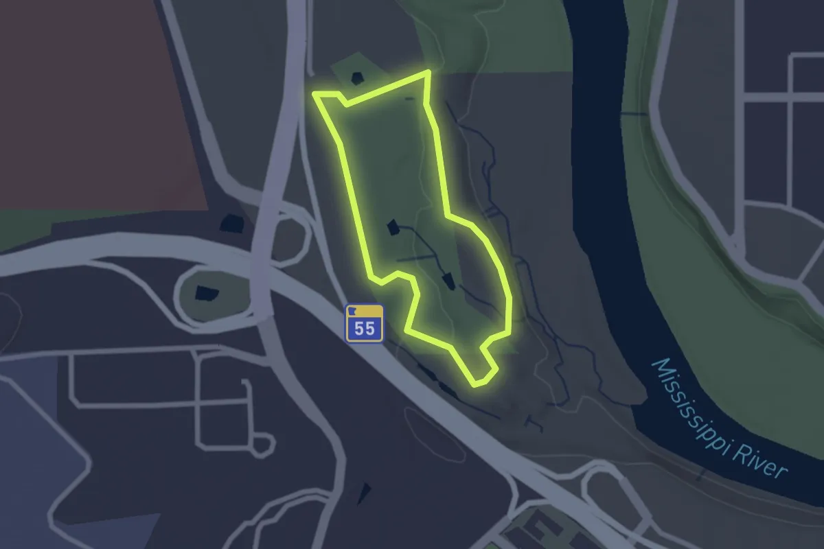
Easy · Trail
Scarlet Tanager Loop
1.8 km · ↑ 16 m · 29 min
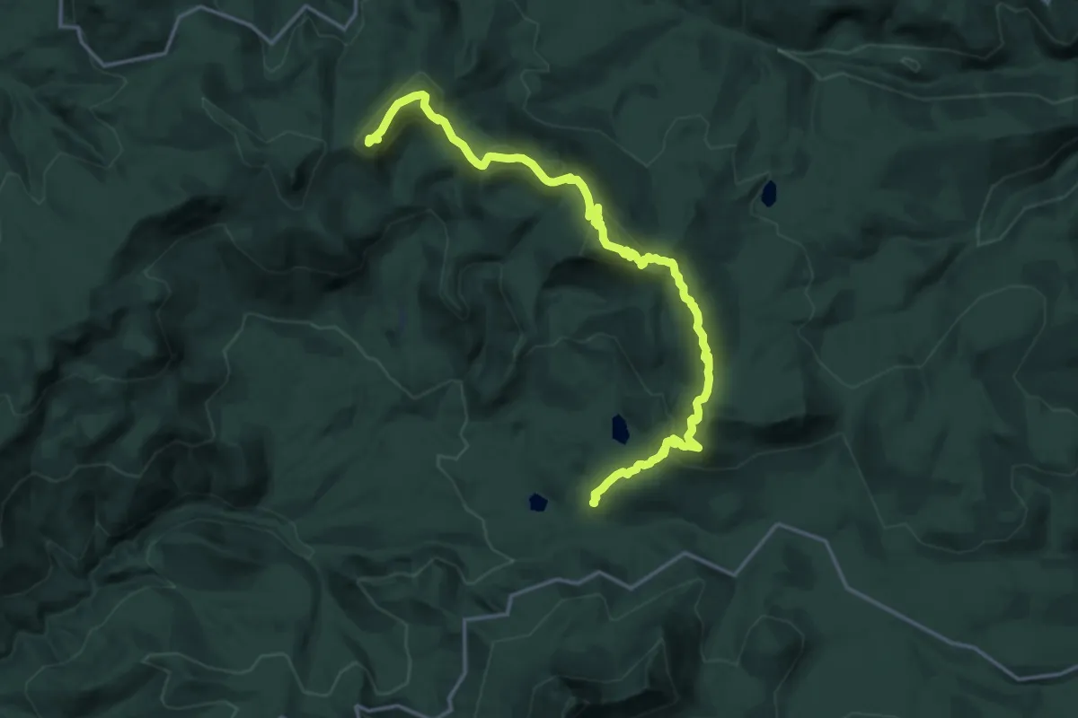
Demanding · Summit
Scar Mountain Trail
18.3 km · ↑ 1220 m · 6 h 58 min
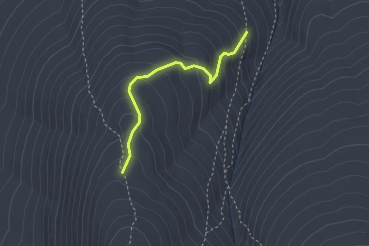
Medium · Trail
Scar Trail
2.4 km · ↑ 254 m · 1 h 8 min
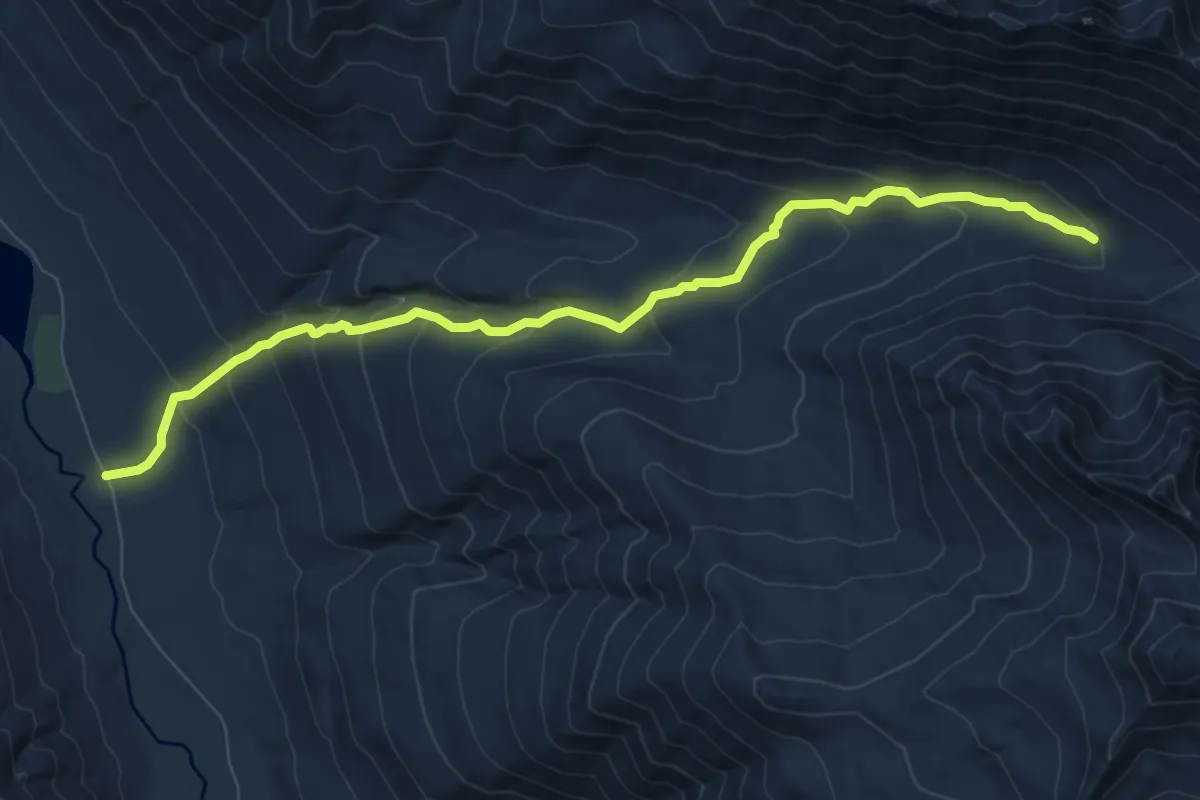
Medium · Trail
Scatter Creek Trail
8.7 km · ↑ 543 m · 3 h 14 min
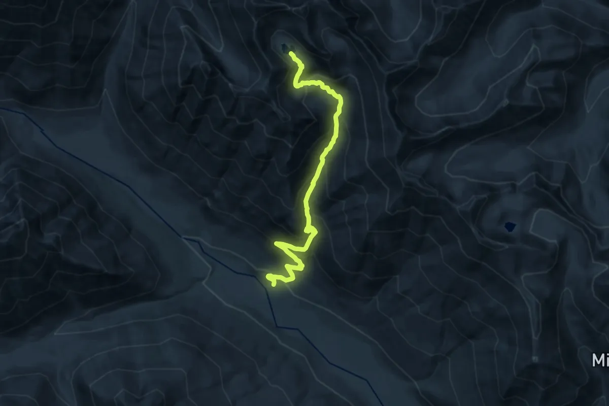
Demanding · Trail
Scatter Creek Trail
14.2 km · ↑ 1204 m · 5 h 58 min
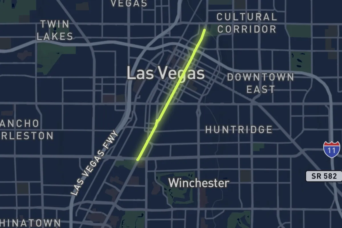
Medium · Trail
Scenic Byway Trail
9.1 km · ↑ 21 m · 2 h 11 min
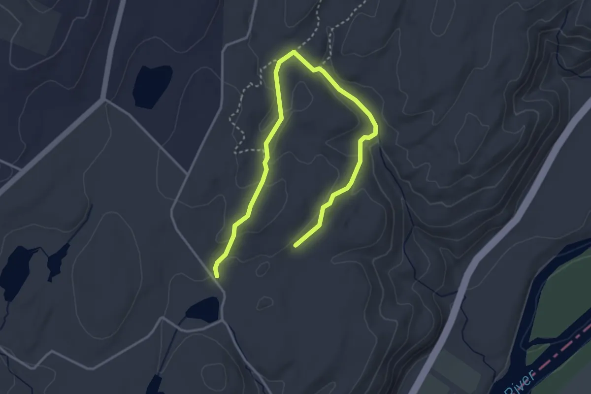
Easy · Trail
Scenic Gorge Trail
4.7 km · ↑ 126 m · 1 h 22 min