Trails in United States
10,367 hiking trails, each with its route, climb, walking time and grade.
All trails, page 169 of 216
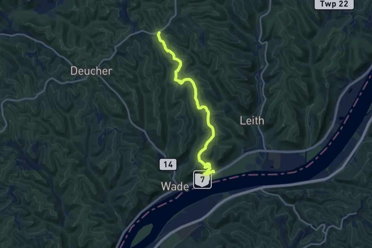
Medium · Trail
Scenic River Trail
11.1 km · ↑ 287 m · 3 h 15 min
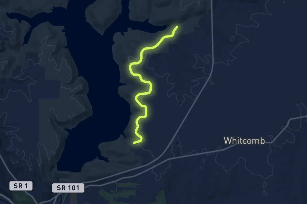
Medium · Trail
Scenic Trail
11.7 km · ↑ 142 m · 3 h 3 min
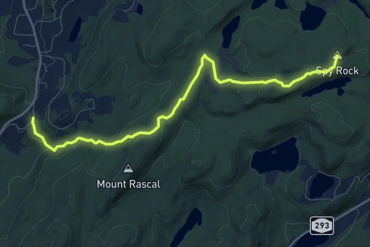
Medium · Summit
Scenic Trail
10.1 km · ↑ 283 m · 3 h
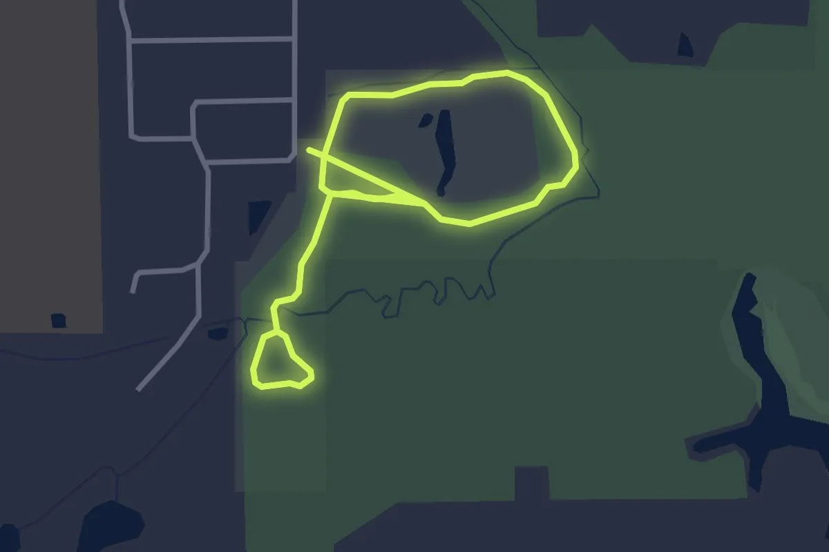
Easy · Trail
Scenic Woods Trails
4.8 km · ↑ 0 m · 1 h 7 min
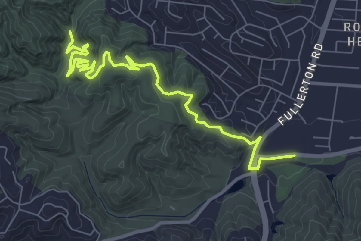
Medium · Trail
Schabarum Extension Trail
8.9 km · ↑ 308 m · 2 h 47 min
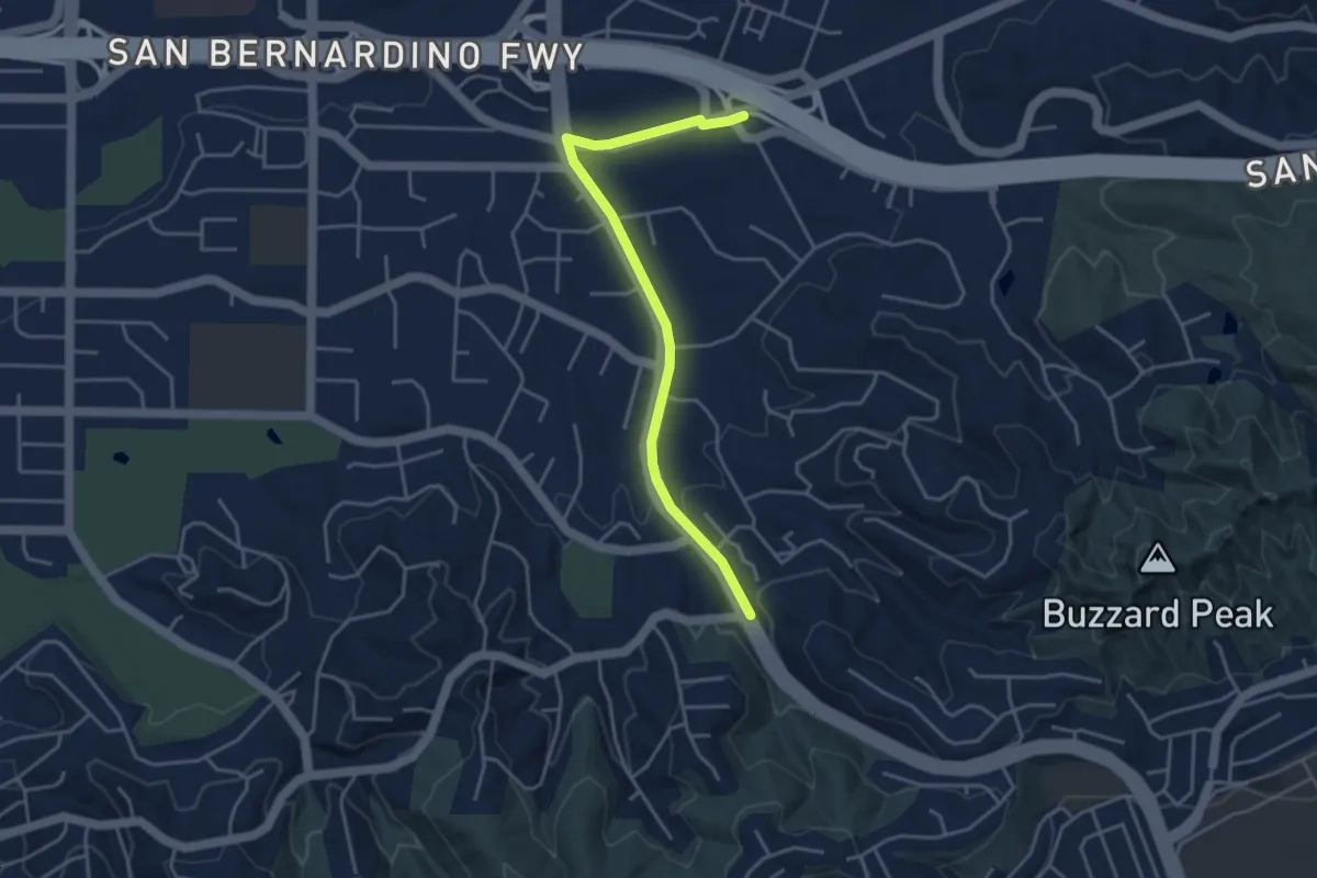
Easy · Trail
Schabarum Grand Spur Trail
4.9 km · ↑ 74 m · 1 h 19 min
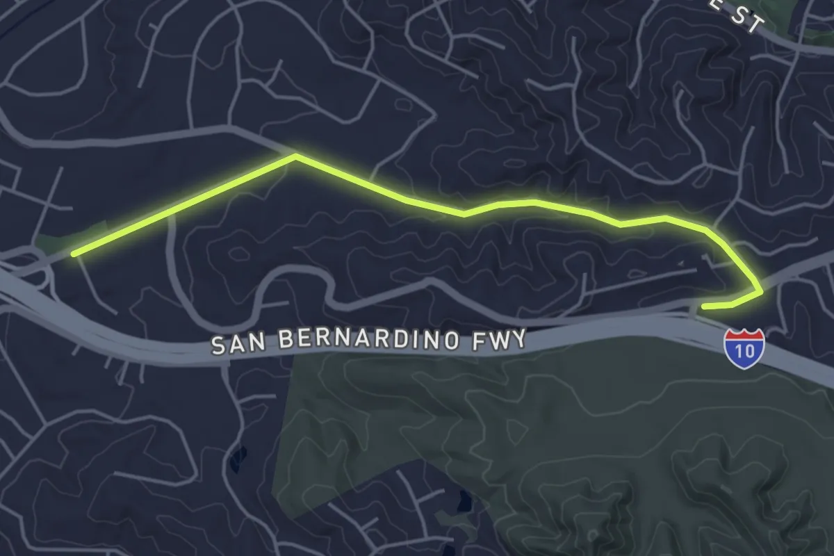
Easy · Trail
Schabarum San Dimas Connector Trail
5.4 km · ↑ 110 m · 1 h 31 min
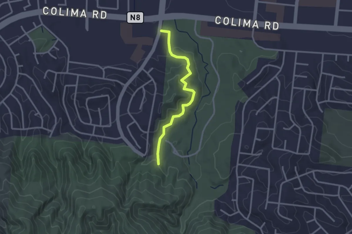
Easy · Trail
Schabarum-Skyline Trail - Azusa/Colima Connector
2.8 km · ↑ 92 m · 52 min
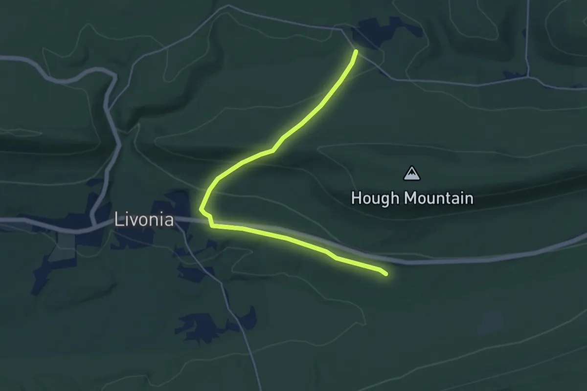
Easy · Trail
Schade Path
5.9 km · ↑ 205 m · 1 h 51 min
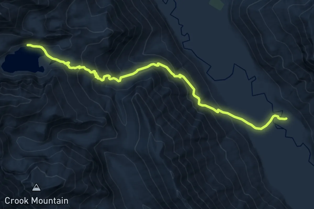
Demanding · Trail
Schaefer Lake Trail
13.7 km · ↑ 884 m · 5 h 9 min
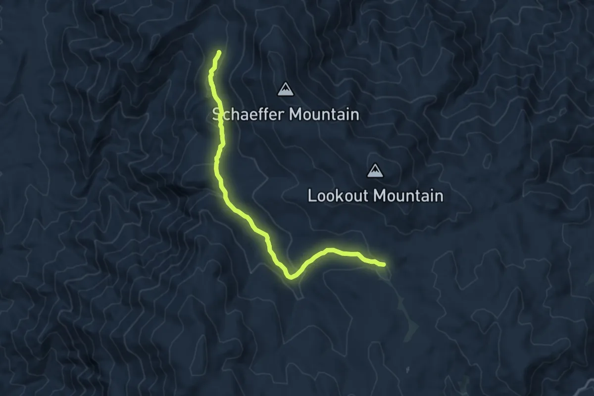
Medium · Trail
Schaeffer Trail
13.3 km · ↑ 354 m · 3 h 54 min
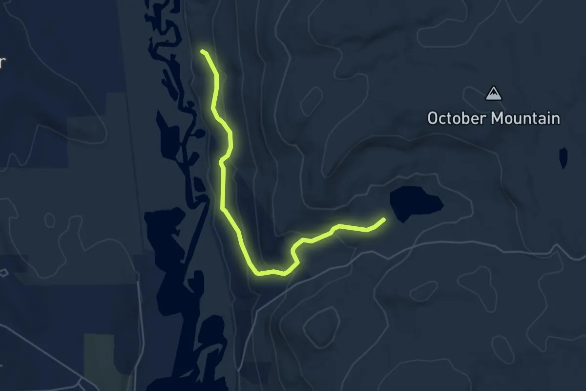
Easy · Trail
Schemerhorn Trail
5.4 km · ↑ 252 m · 1 h 49 min
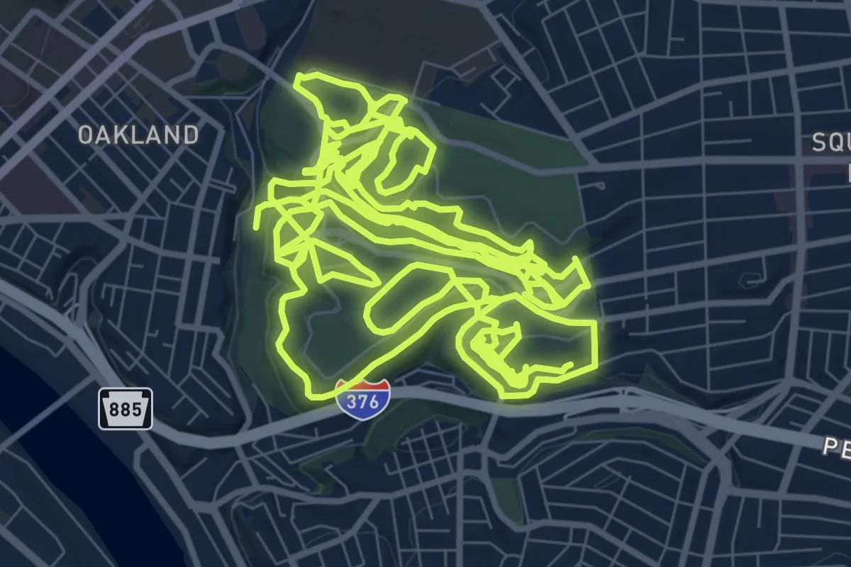
Expert · Trail
Scheneley Park Hiking
20.0 km · ↑ 452 m · 6 h
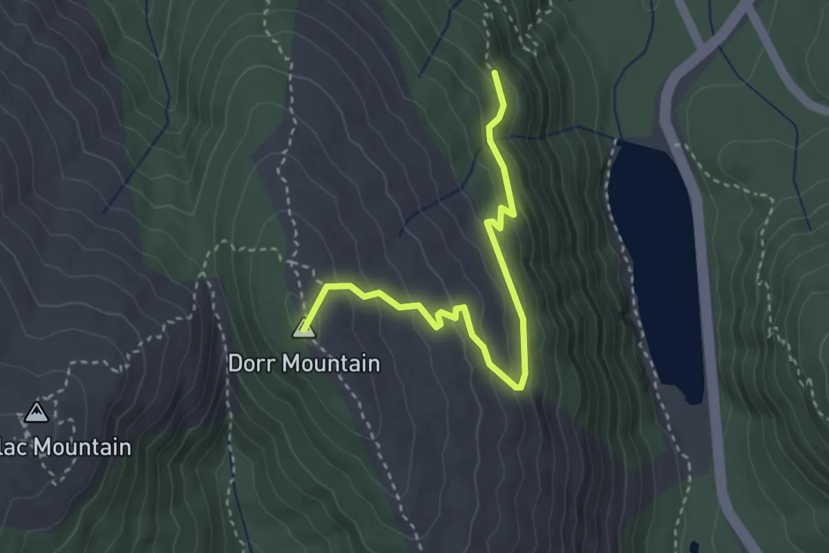
Demanding · Summit
Schiff Path
3.2 km · ↑ 207 m · 1 h 13 min
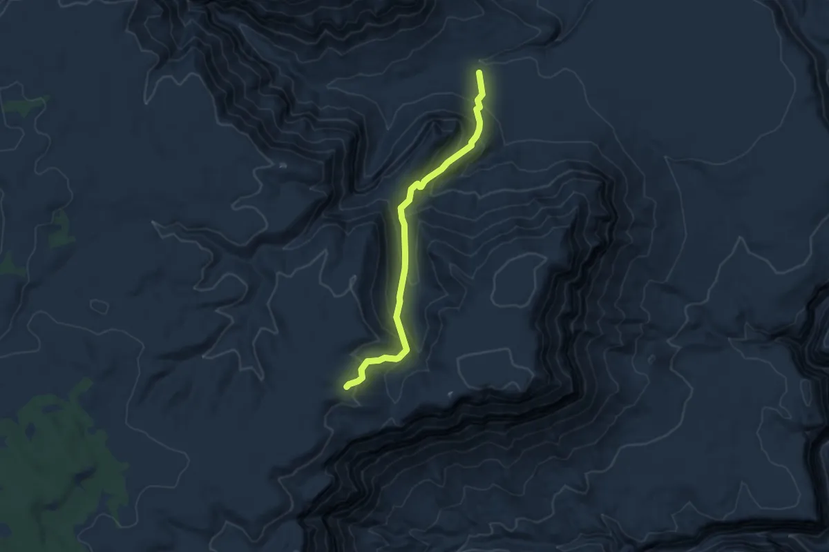
Medium · Trail
Schmutz Spring Trail
5.4 km · ↑ 415 m · 2 h 11 min
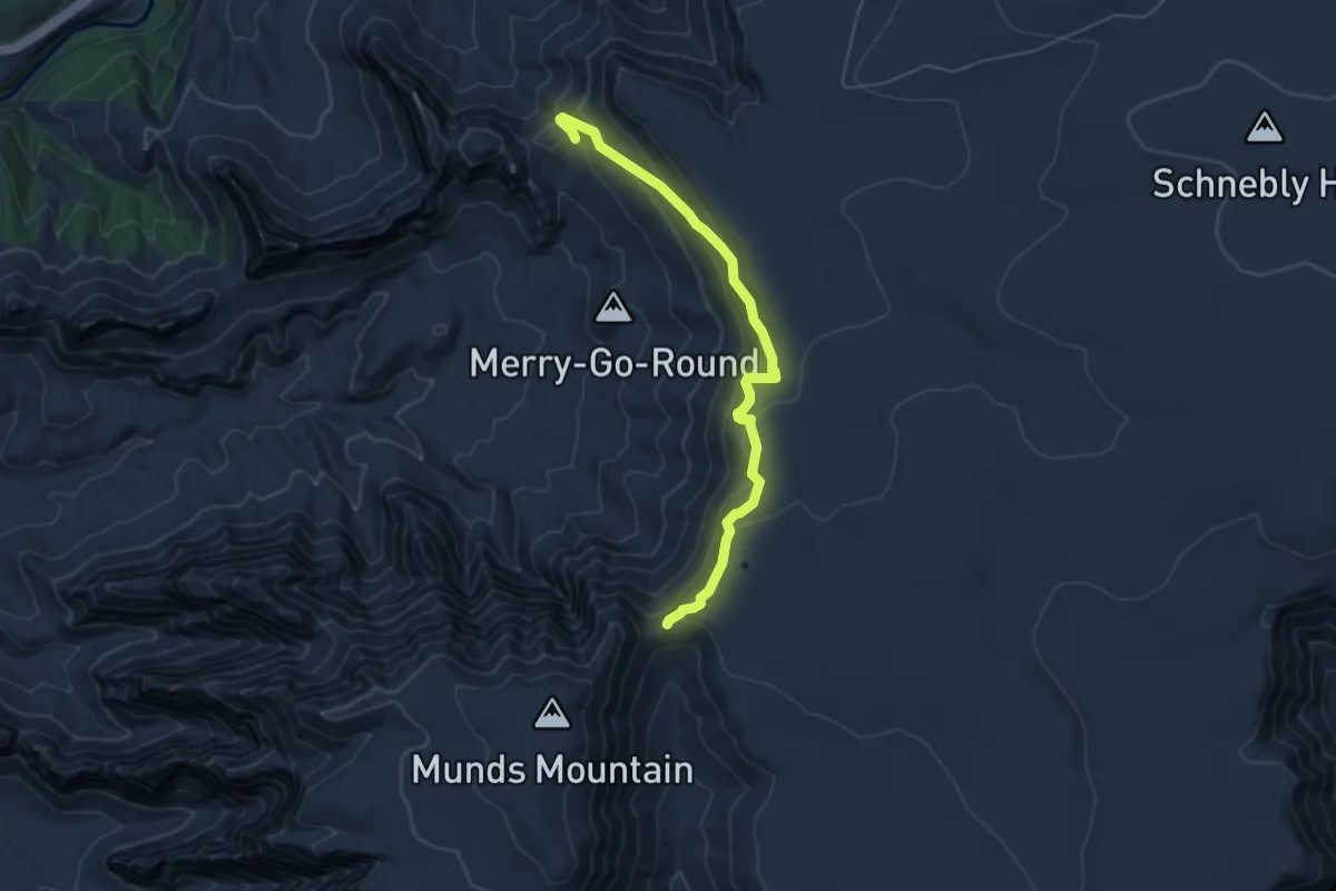
Demanding · Trail
Schnebly Hill #158
6.5 km · ↑ 309 m · 2 h 12 min
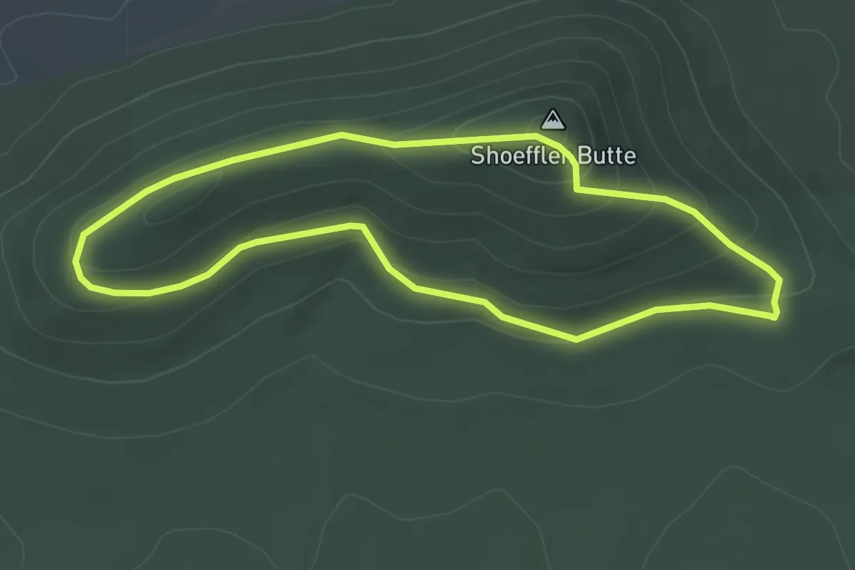
Easy · Summit
Schoeffler Butte Loop
3.3 km · ↑ 127 m · 1 h 6 min
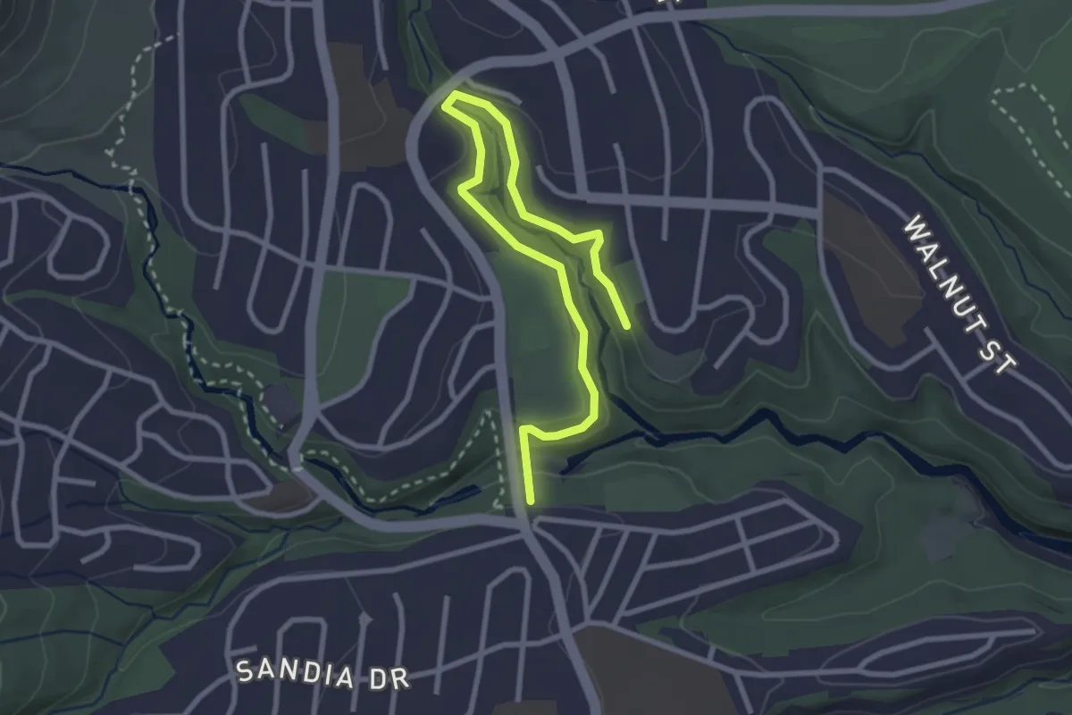
Easy · Trail
School Canyon Trail
4.0 km · ↑ 123 m · 1 h 12 min
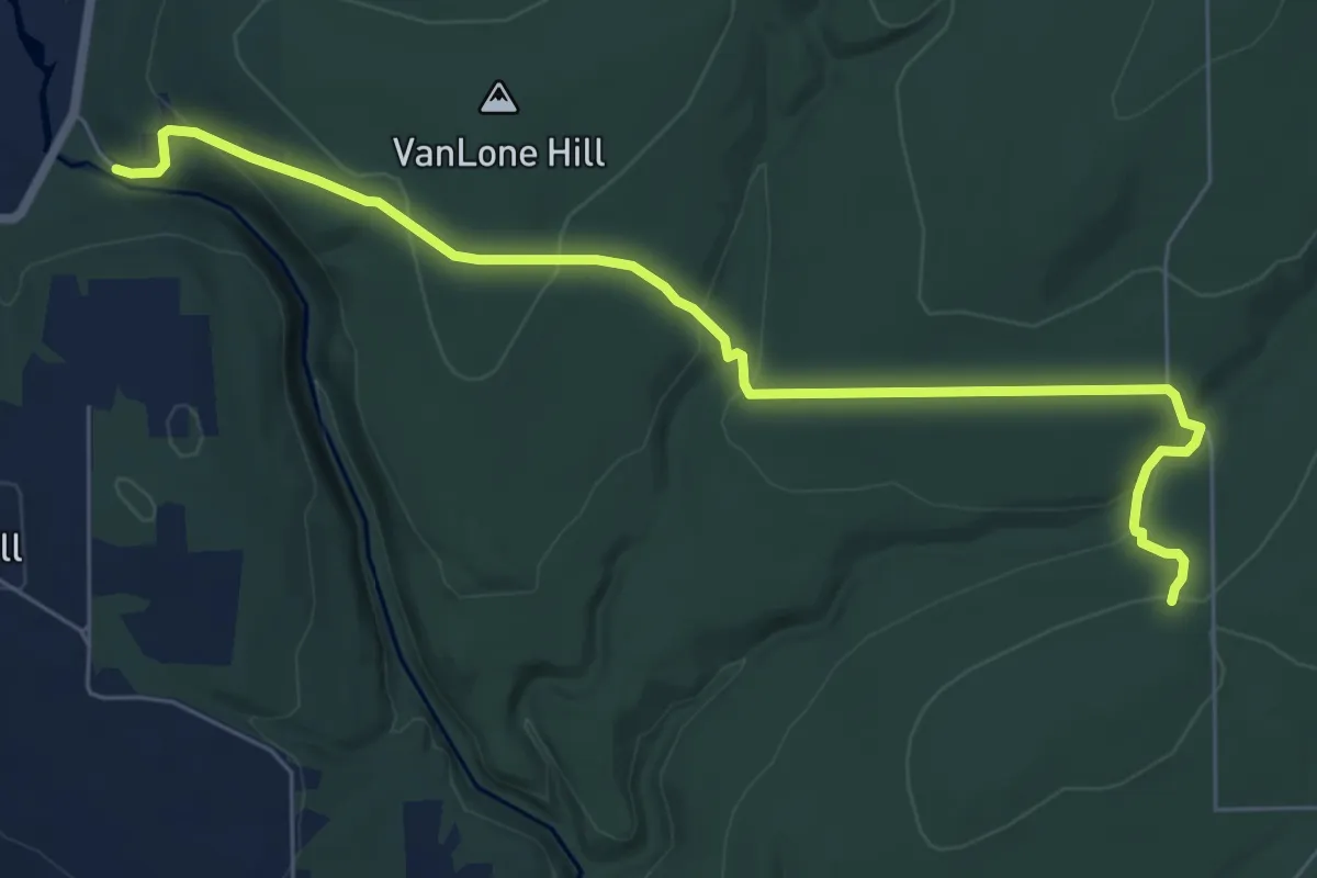
Medium · Trail
School House Trail
8.2 km · ↑ 327 m · 2 h 39 min
Easy · Trail
School House Trail
4.3 km · ↑ 0 m · 1 h 1 min
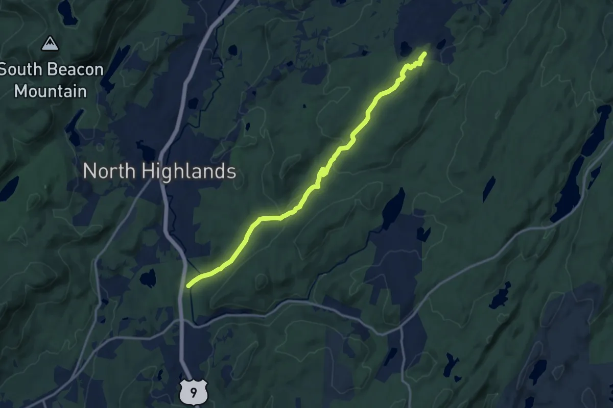
Medium · Trail
School Mountain Trail
13.3 km · ↑ 314 m · 3 h 49 min
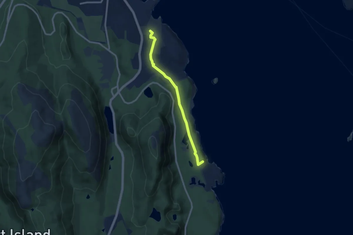
Easy · Summit
Schooner Head Path
7.1 km · ↑ 96 m · 1 h 52 min
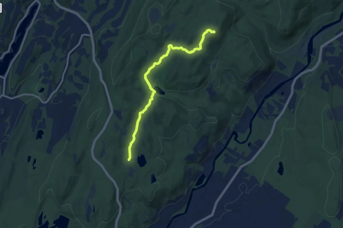
Medium · Summit
Schuber Trail
8.0 km · ↑ 252 m · 2 h 26 min
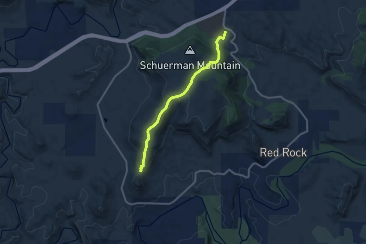
Easy · Trail
Schuerman Mountain #56
7.1 km · ↑ 261 m · 2 h 14 min
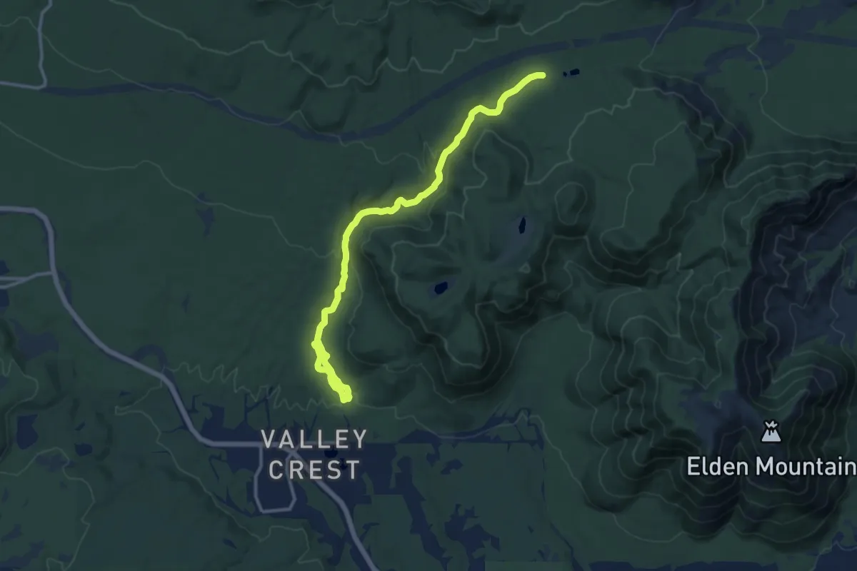
Medium · Trail
Schultz Creek Trail
15.4 km · ↑ 295 m · 4 h 17 min
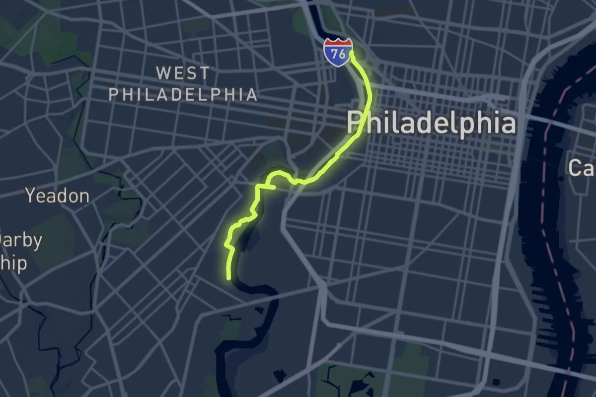
Medium · Trail
Schuylkill Banks
15.3 km · ↑ 55 m · 3 h 44 min
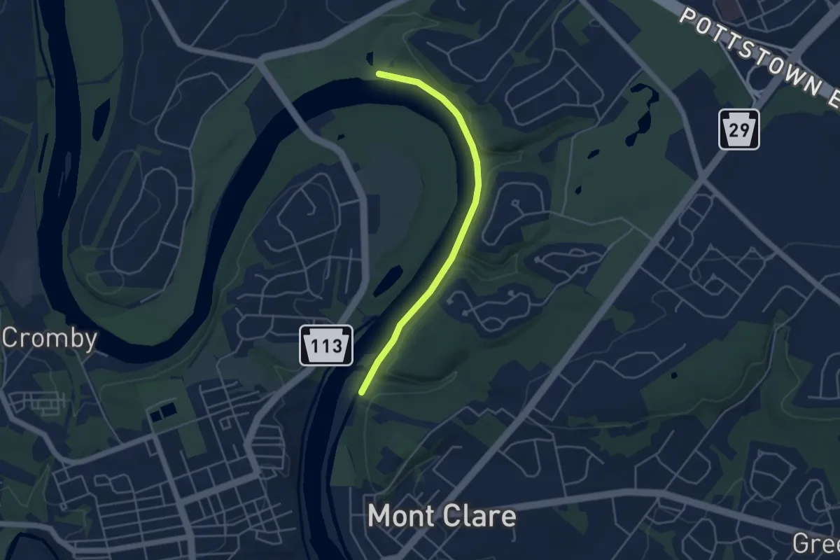
Easy · Trail
Schuylkill East Trail
4.5 km · ↑ 26 m · 1 h 7 min
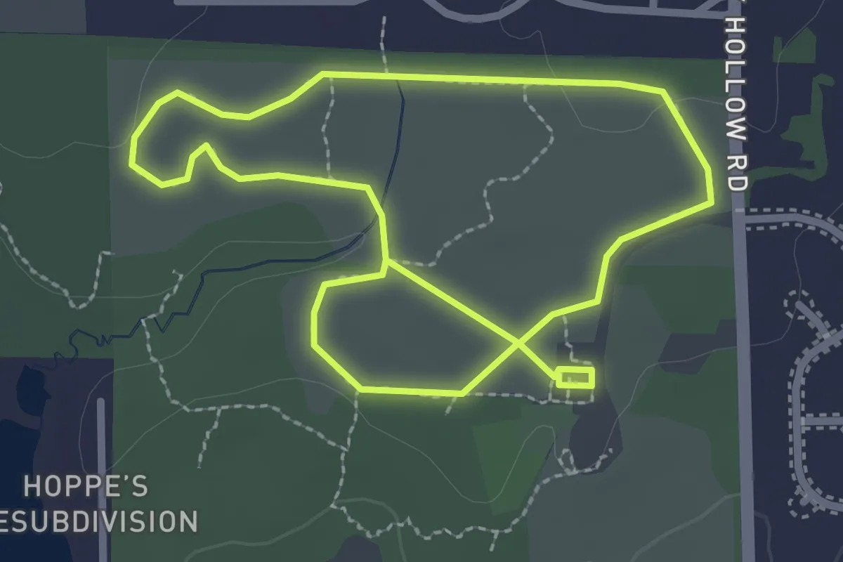
Easy · Trail
Schweitzer Woods Forest Preserve hiking path
5.1 km · ↑ 17 m · 1 h 15 min
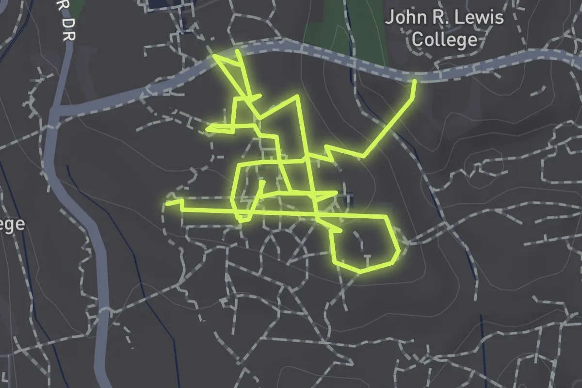
Easy · Trail
Science Hill wheelchair accessibility
4.0 km · ↑ 57 m · 1 h 5 min
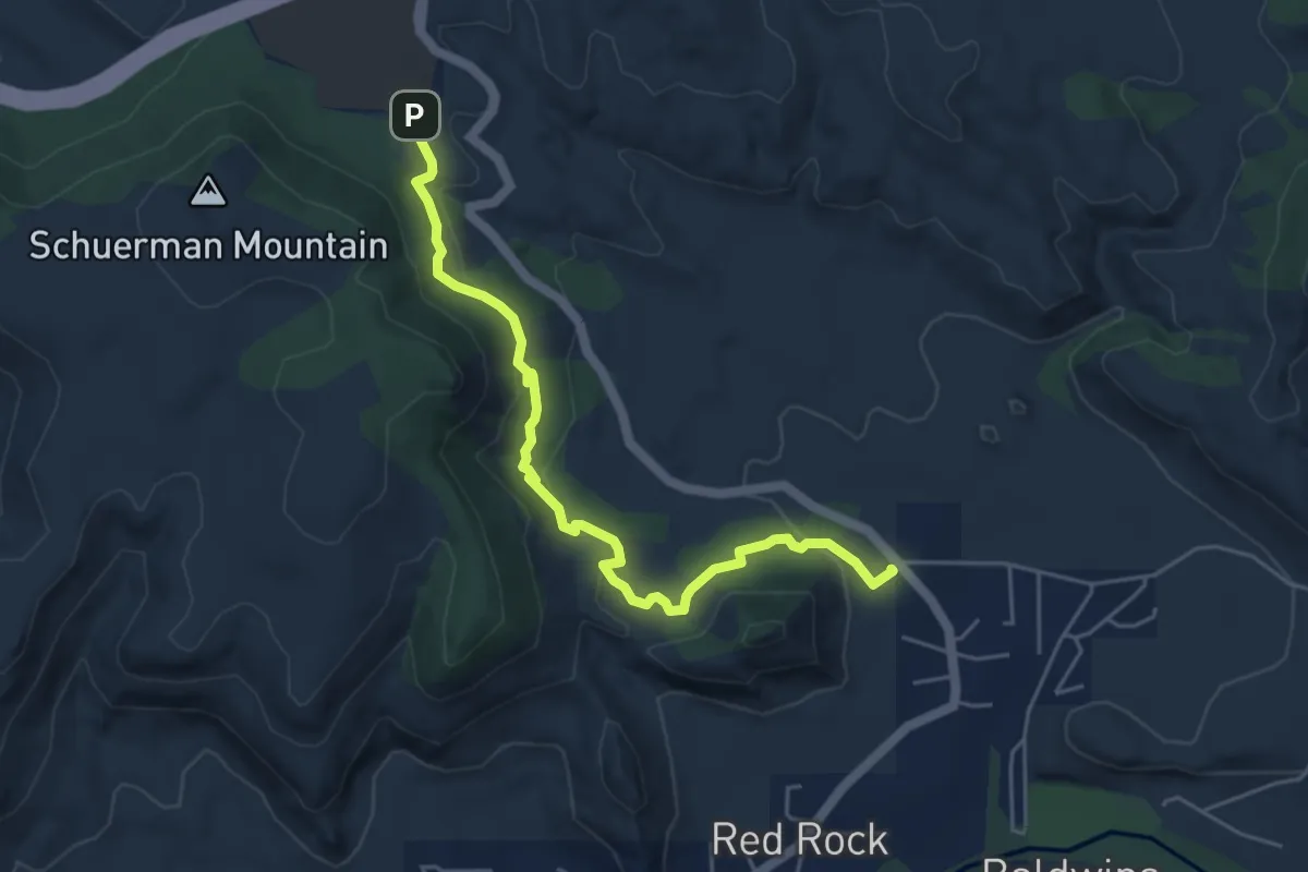
Easy · Trail
Scorpion #673
6.2 km · ↑ 162 m · 1 h 48 min
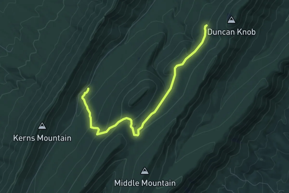
Medium · Trail
Scothorn Gap Trail
9.3 km · ↑ 276 m · 2 h 48 min
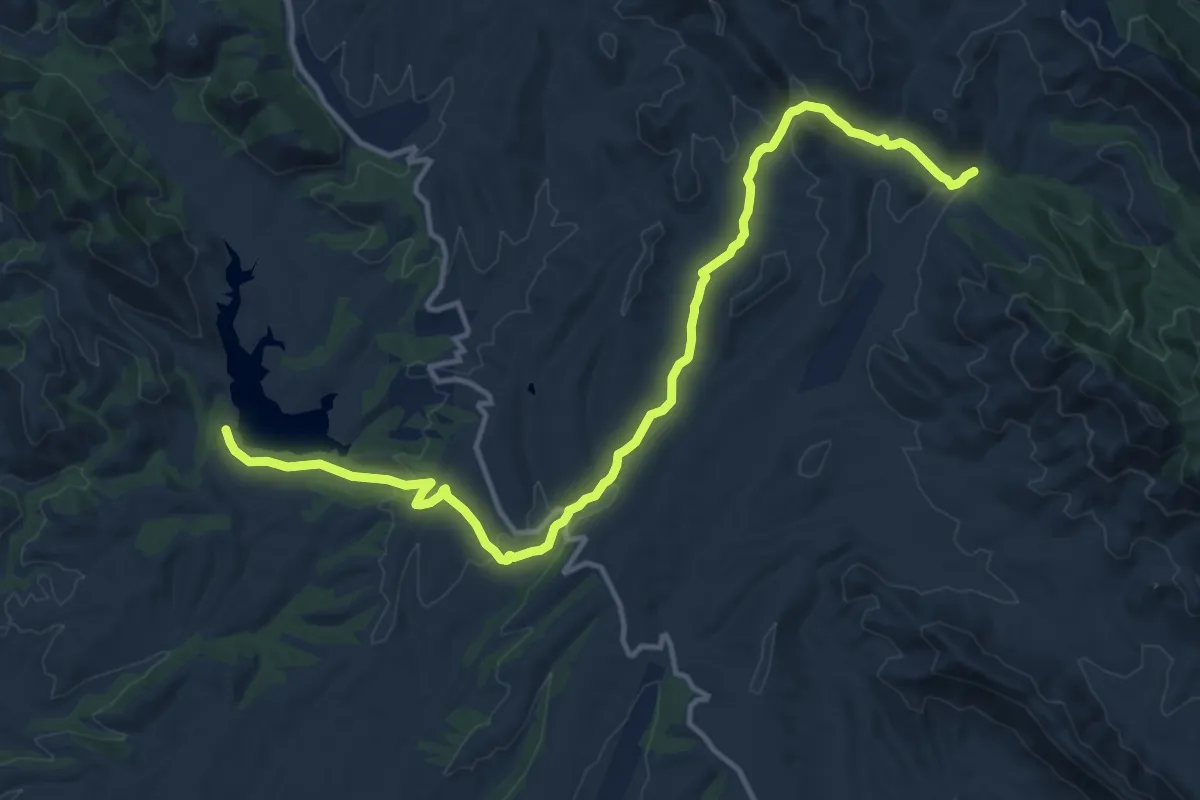
Demanding · Trail
Scotia Canyon Trail #127
18.8 km · ↑ 322 m · 5 h 8 min
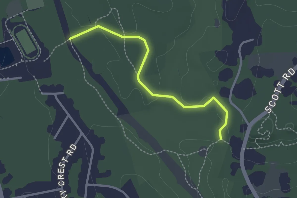
Easy · Trail
Scott Brook Trail
2.4 km · ↑ 23 m · 37 min
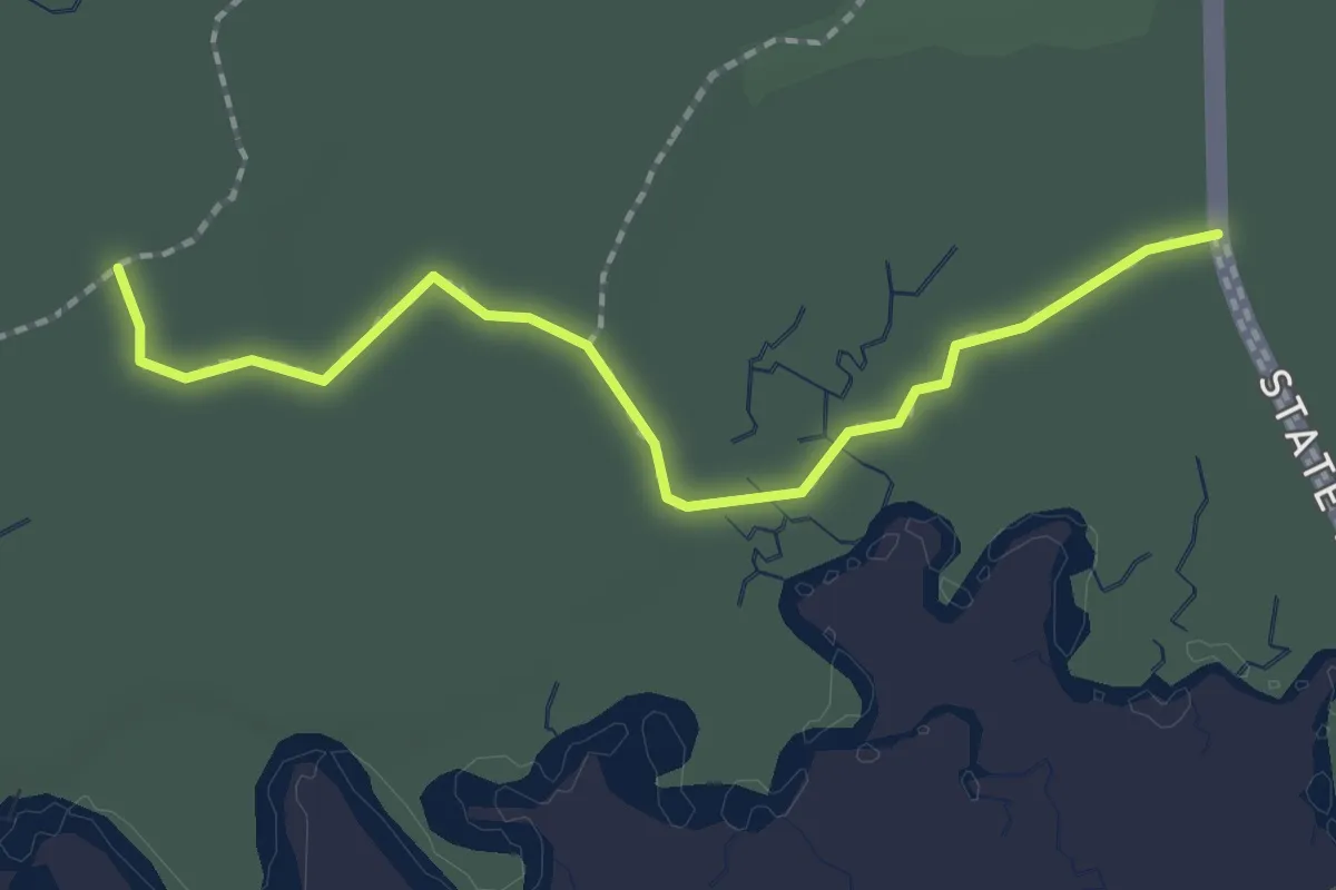
Easy · Trail
Scott Creek Trail
2.5 km · ↑ 34 m · 39 min
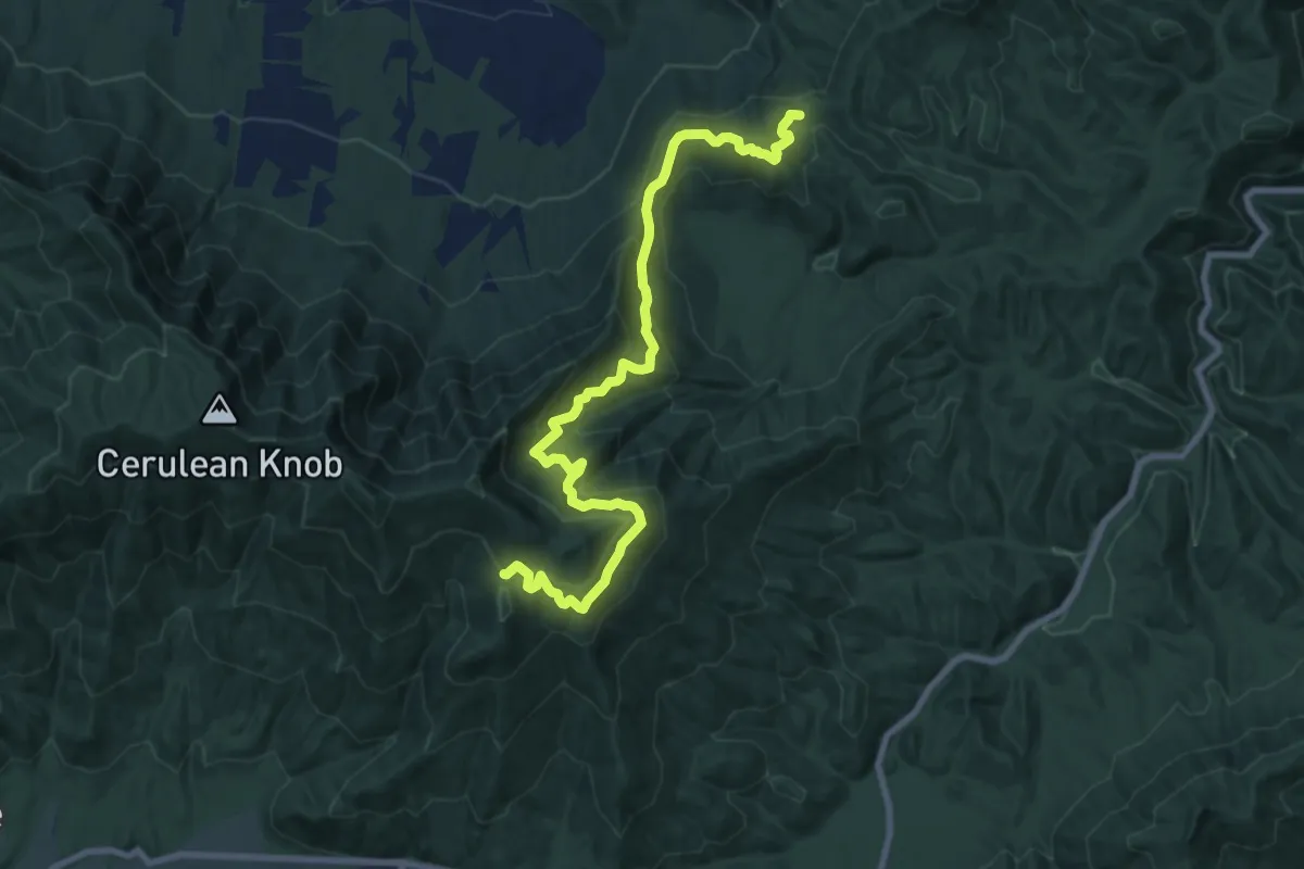
Medium · Trail
Scott Mountain Trail
11.2 km · ↑ 646 m · 4 h 3 min
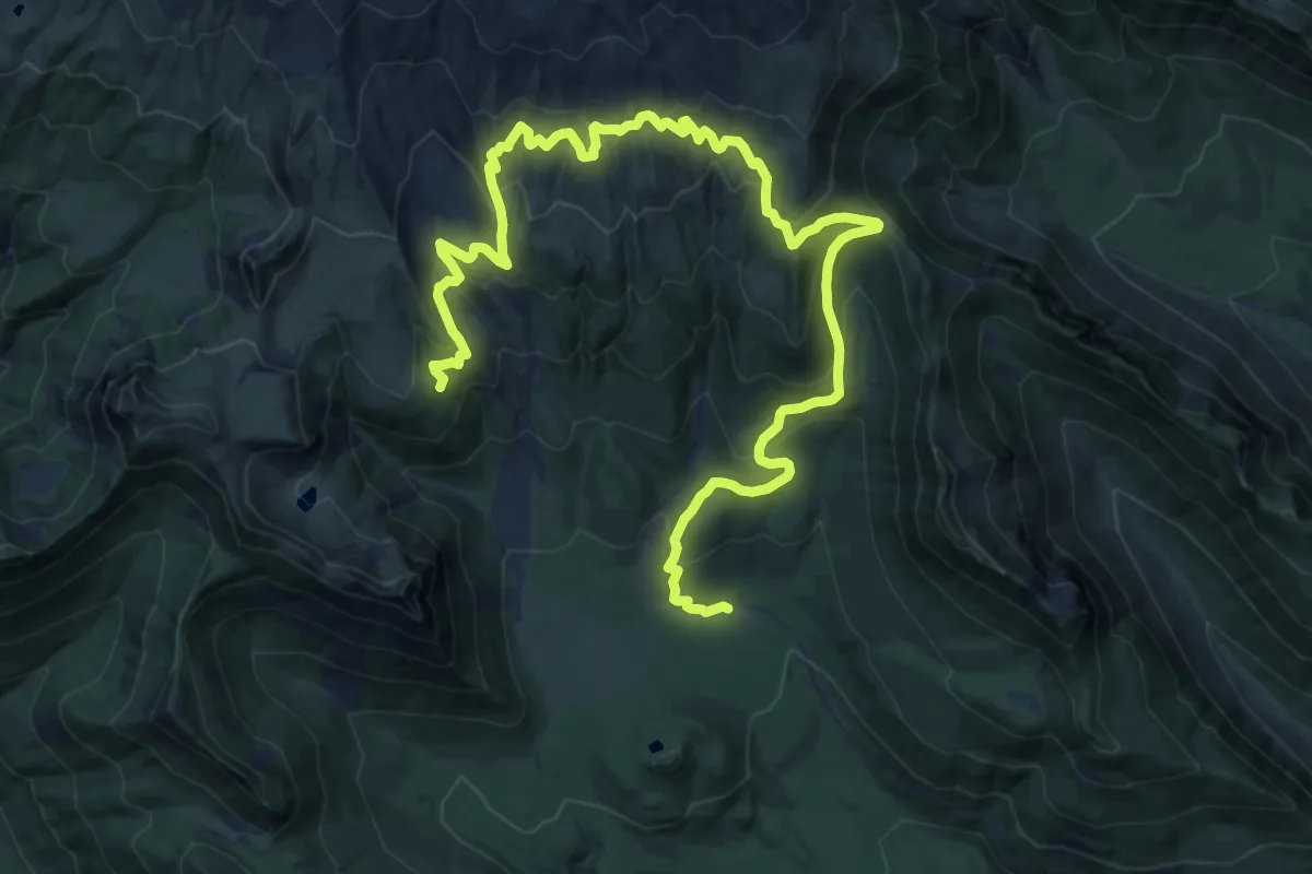
Demanding · Trail
Scott Paul Trail
17.9 km · ↑ 936 m · 6 h 16 min
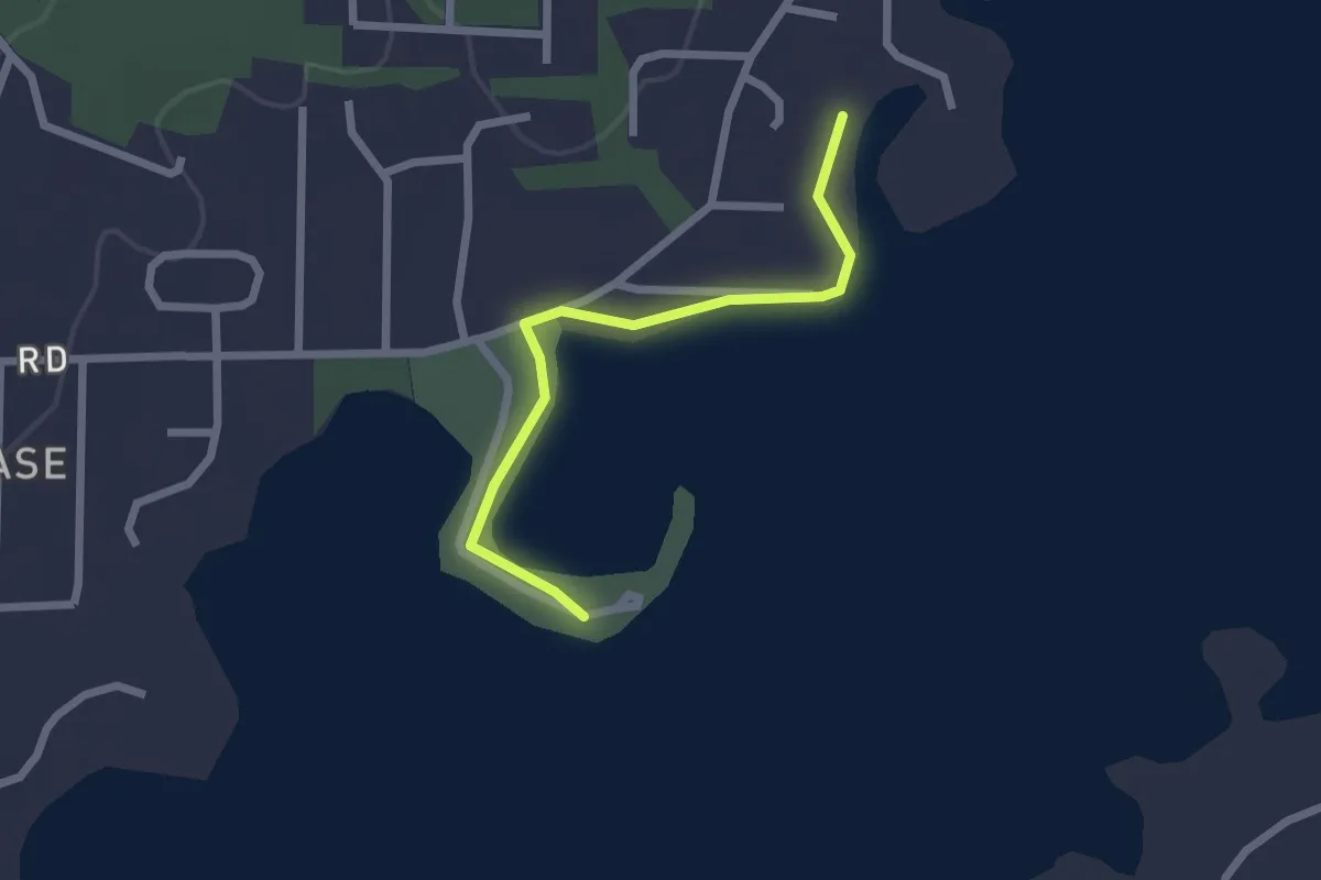
Easy · Trail
Scottsboro City Park Walking Trail
2.5 km · ↑ 0 m · 35 min
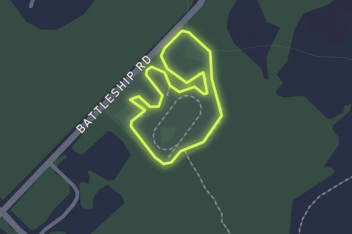
Easy · Trail
Scotts Park Loop
1.5 km · ↑ 0 m · 22 min
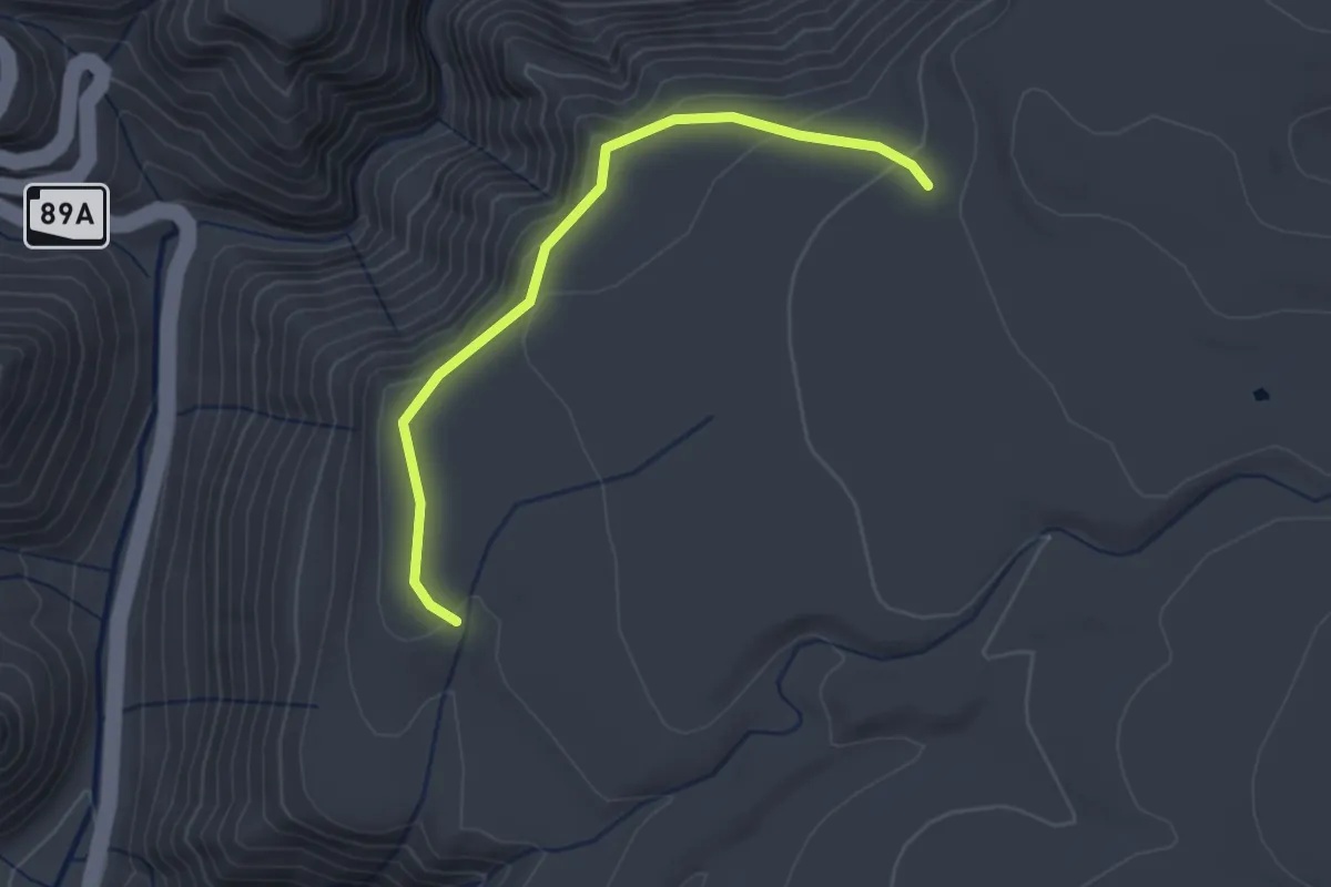
Easy · Trail
Scott Springs #44
3.2 km · ↑ 99 m · 59 min
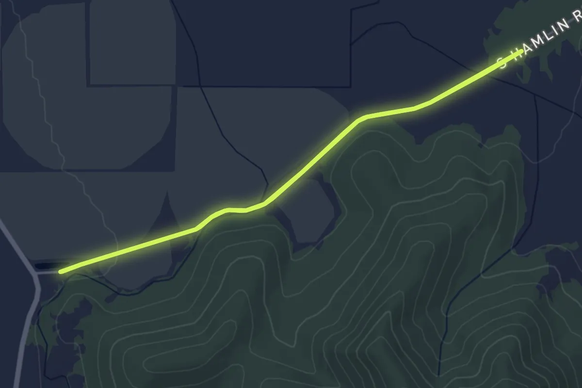
Easy · Trail
Scott Valley Schools' Turkey Trot 3 Mile Route
4.9 km · ↑ 13 m · 1 h 15 min
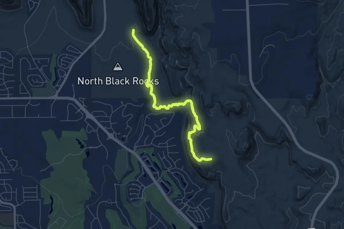
Easy · Trail
Scout Cave
7.4 km · ↑ 226 m · 2 h 20 min
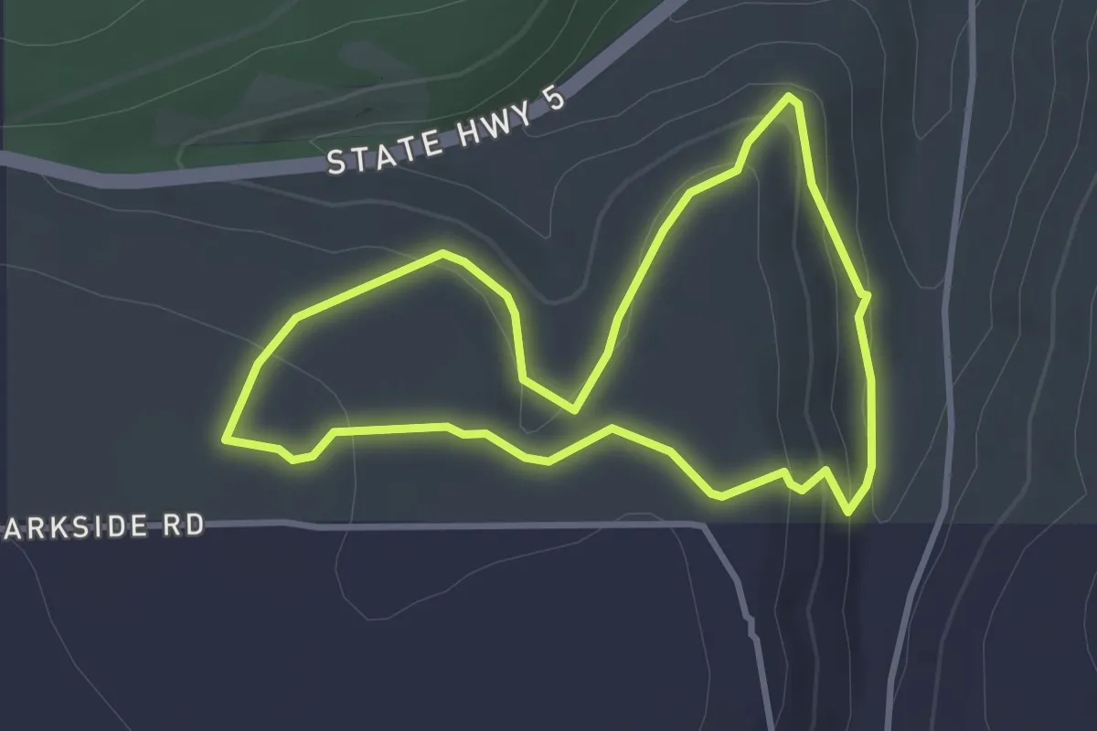
Easy · Trail
Scout Out Loop
3.0 km · ↑ 111 m · 59 min
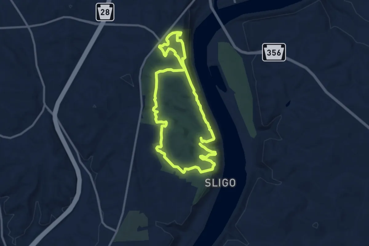
Medium · Trail
Scouts Trail
8.2 km · ↑ 208 m · 2 h 29 min
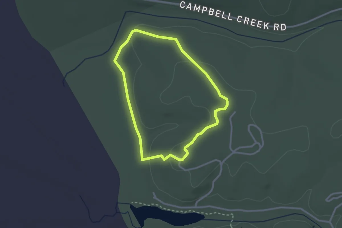
Easy · Trail
Scout Trail
2.8 km · ↑ 30 m · 45 min
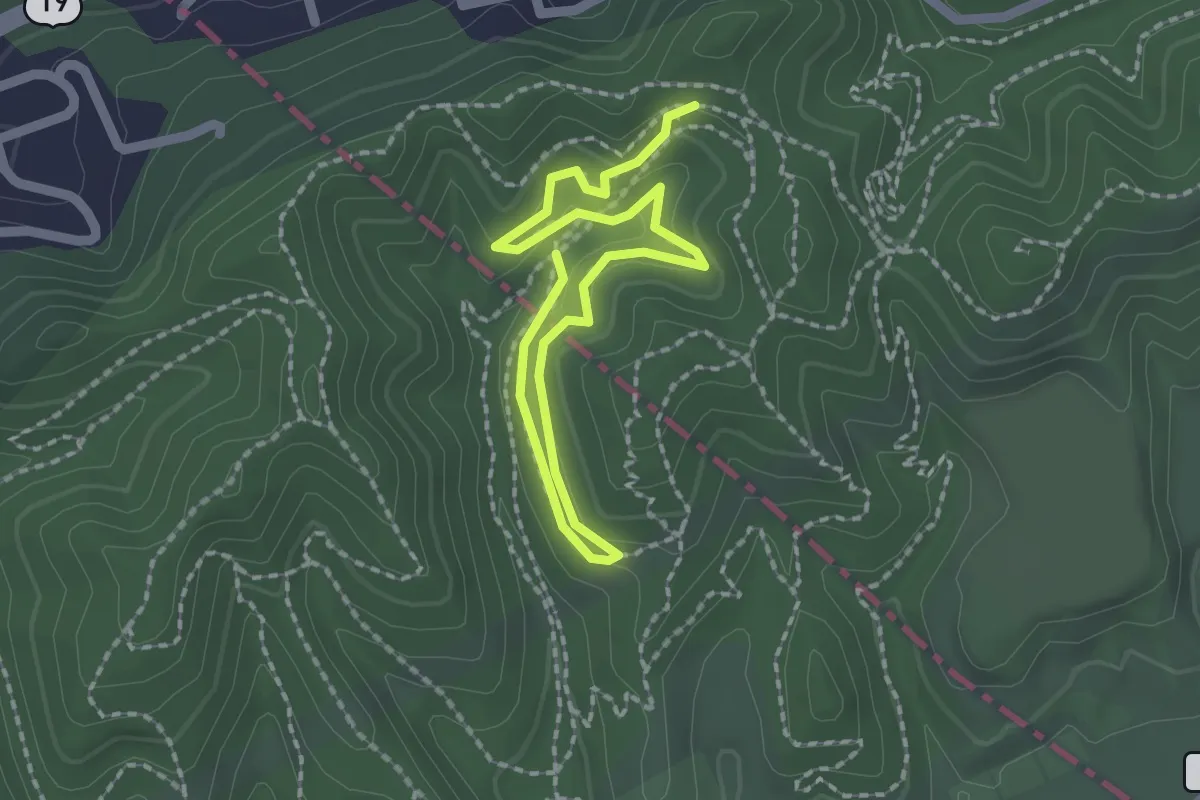
Easy · Trail
Scout Trail
3.1 km · ↑ 88 m · 55 min
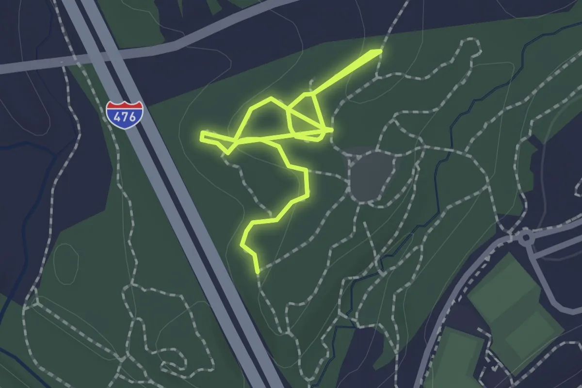
Easy · Trail
Scout Trail
2.8 km · ↑ 45 m · 46 min
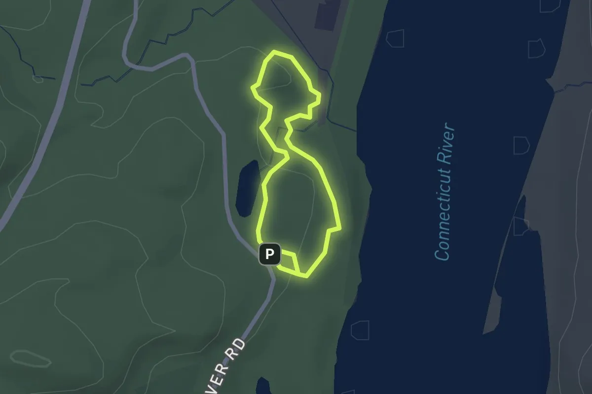
Easy · Trail
Scovill Northern Loop
1.6 km · ↑ 31 m · 28 min
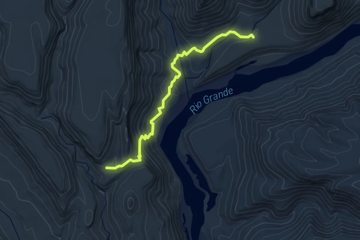
Easy · Trail
Scramble Trail
4.8 km · ↑ 235 m · 1 h 38 min