Trails in United States
10,367 hiking trails, each with its route, climb, walking time and grade.
All trails, page 181 of 216
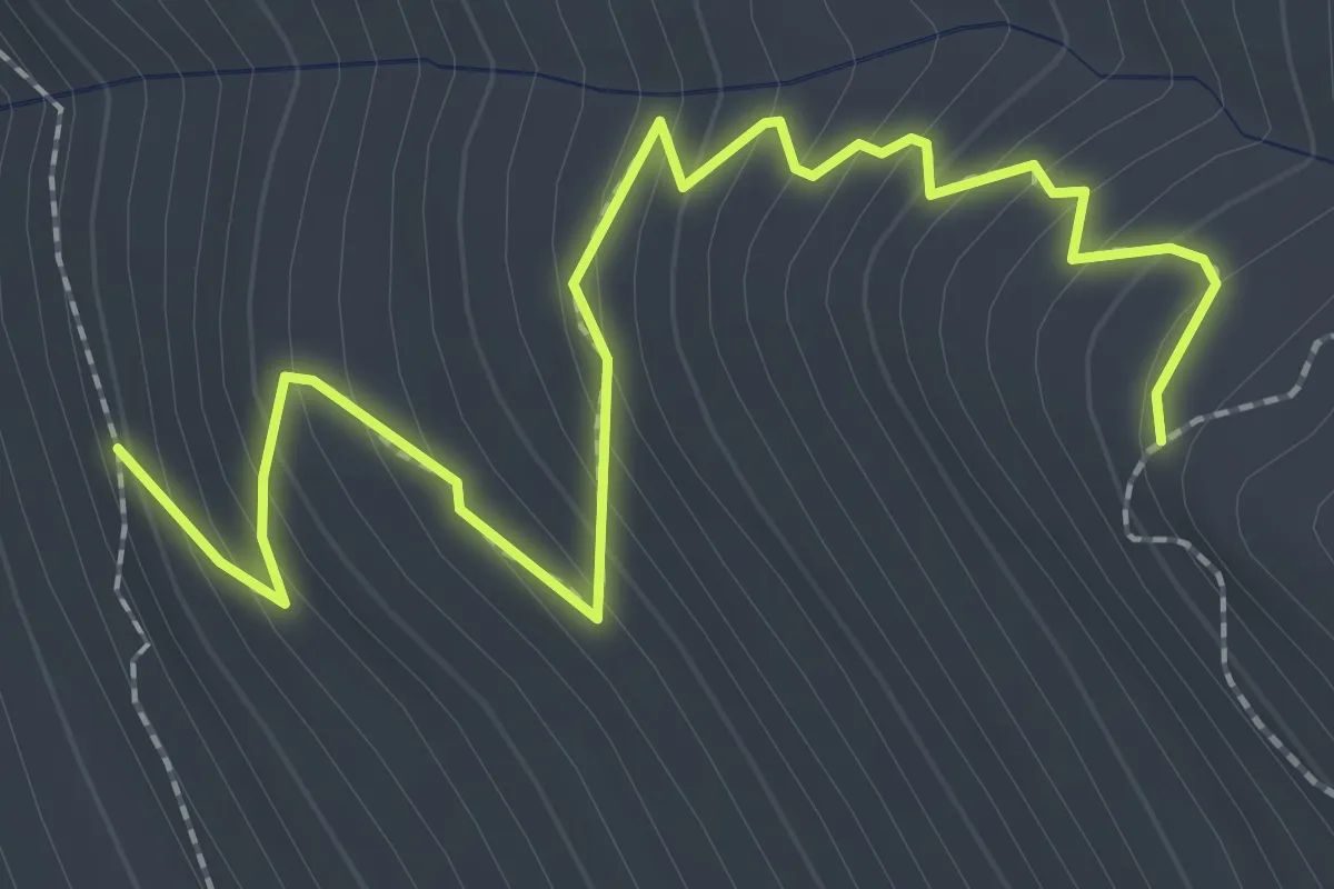
Easy · Trail
Spur Trail
2.8 km · ↑ 268 m · 1 h 15 min
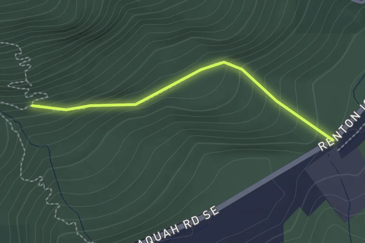
Easy · Trail
Squak Mountain Connector Trail
2.0 km · ↑ 123 m · 44 min
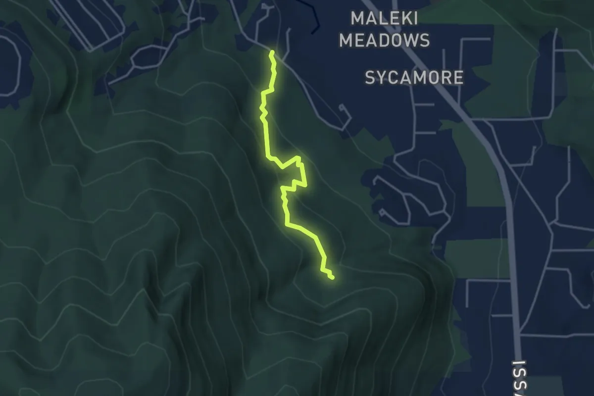
Easy · Trail
Squak Mtn Access Trail
2.9 km · ↑ 157 m · 1 h 2 min
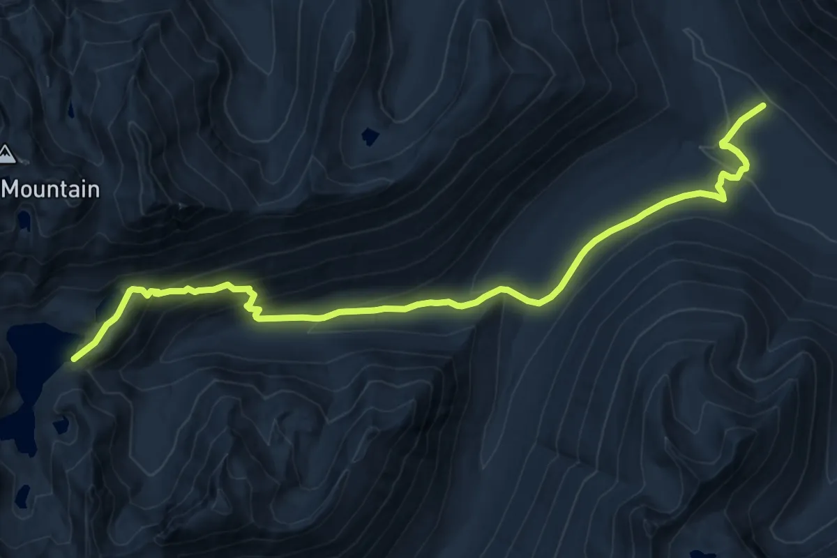
Medium · Trail
Square Lake Trail
15.3 km · ↑ 650 m · 5 h 2 min
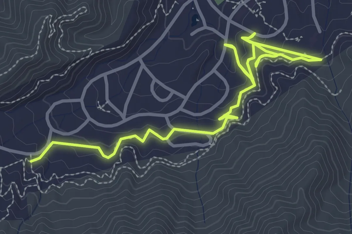
Medium · Trail
Squatter Trail
4.9 km · ↑ 219 m · 1 h 38 min
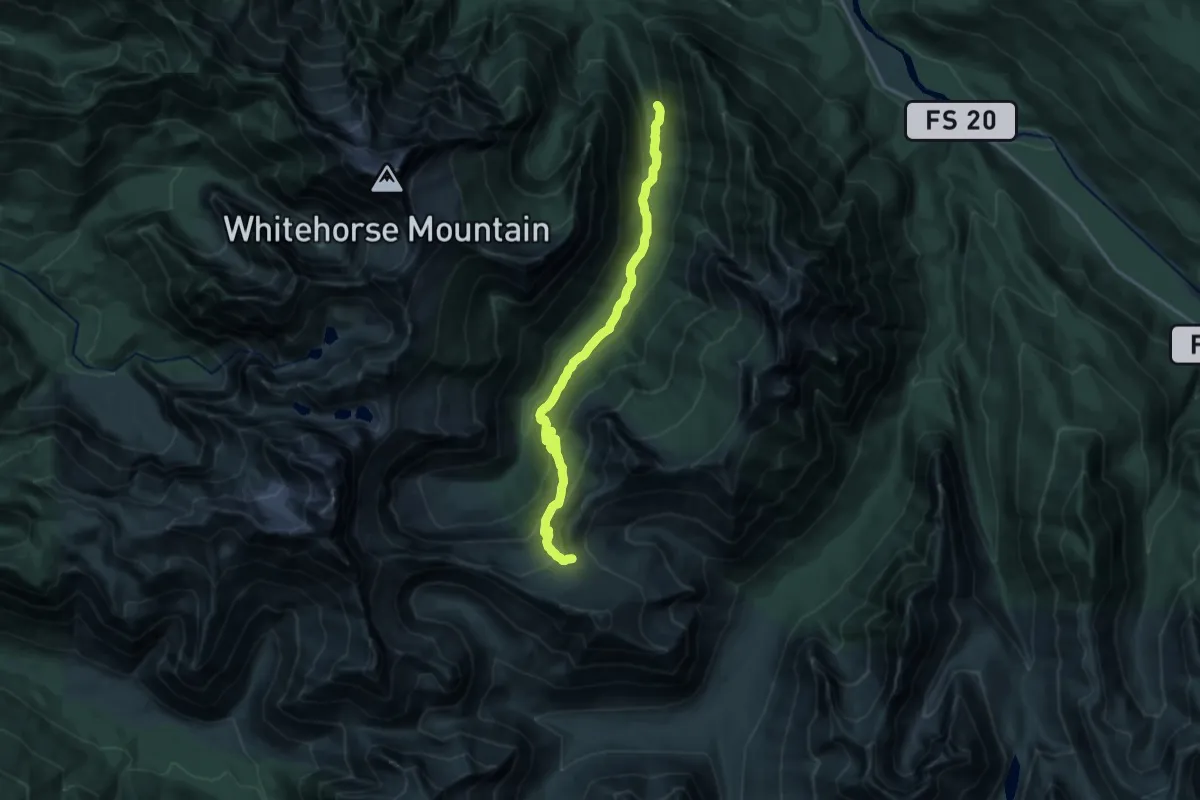
Demanding · Trail
Squire Creek Trail
16.5 km · ↑ 1011 m · 6 h 5 min
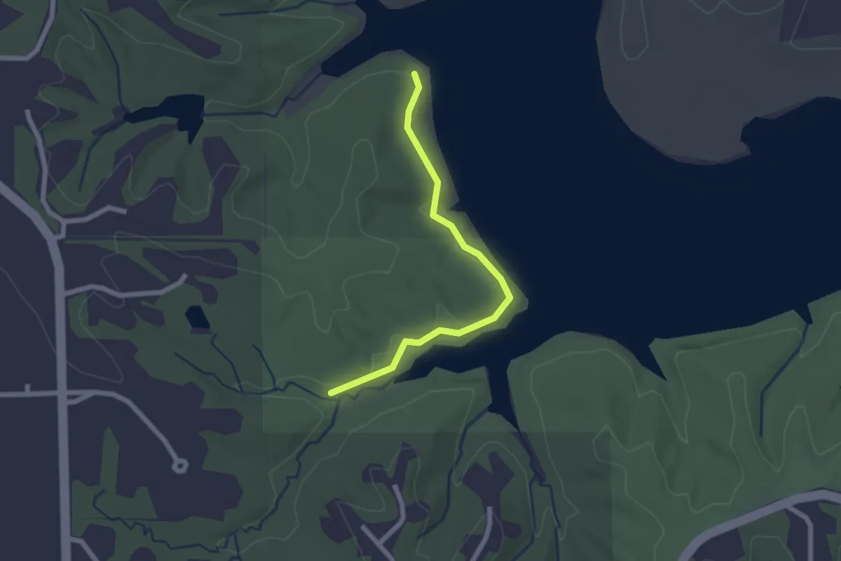
Easy · Trail
Squire Shore Trail
2.1 km · ↑ 0 m · 30 min
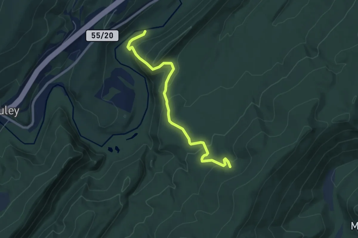
Easy · Trail
Squirrel Gap Trail
6.3 km · ↑ 259 m · 2 h 3 min
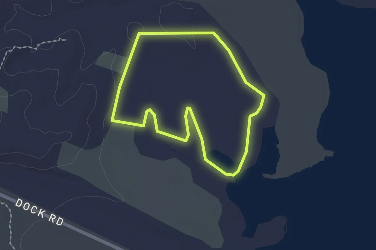
Easy · Trail
Squirrel Neck Loop
1.8 km · ↑ 4 m · 27 min
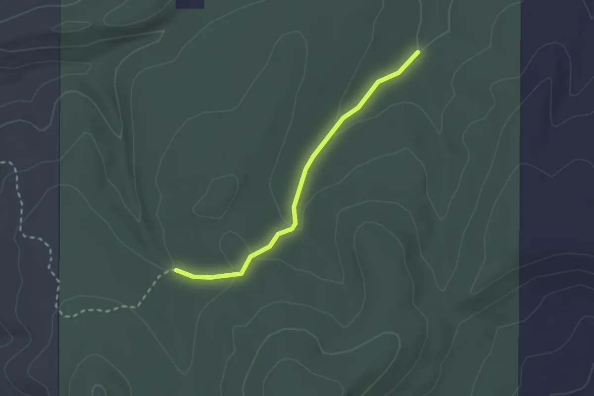
Easy · Trail
Squirrel Run East Trail
2.5 km · ↑ 81 m · 46 min
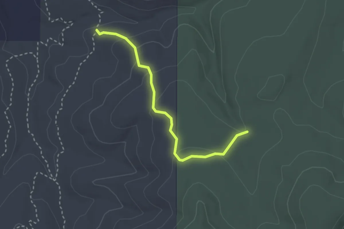
Expert · Trail
Squirrel Run Trail
3.0 km · ↑ 114 m · 58 min
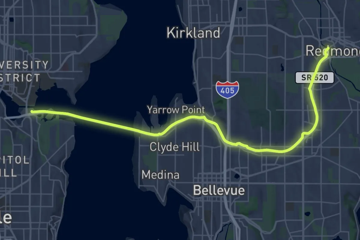
Medium · Trail
SR 520 Trail
17.8 km · ↑ 198 m · 4 h 52 min
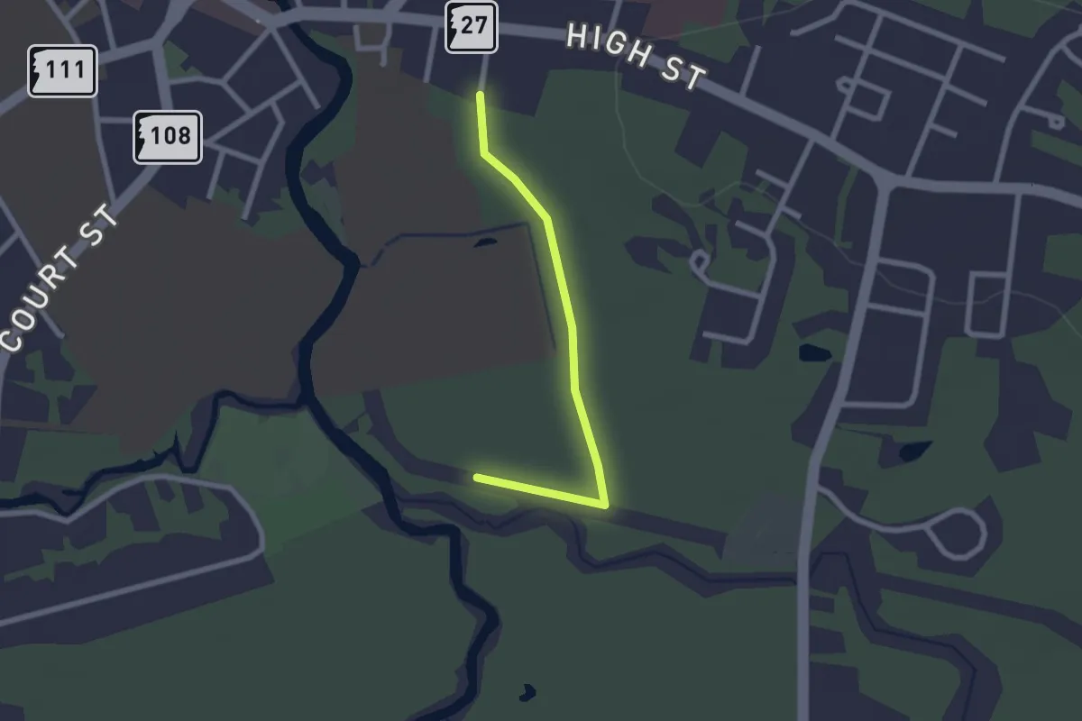
Easy · Trail
Stadium Trail
2.2 km · ↑ 4 m · 31 min
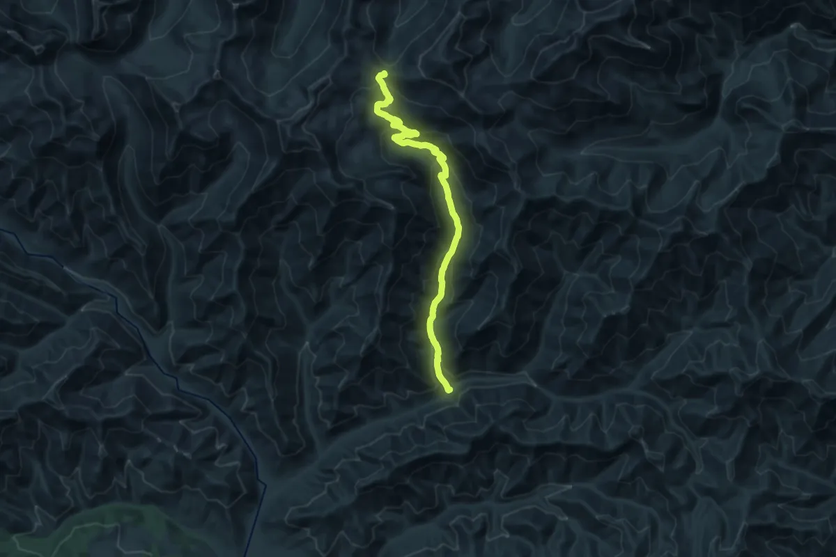
Demanding · Trail
Stafford Creek Trail
17.6 km · ↑ 932 m · 6 h 11 min
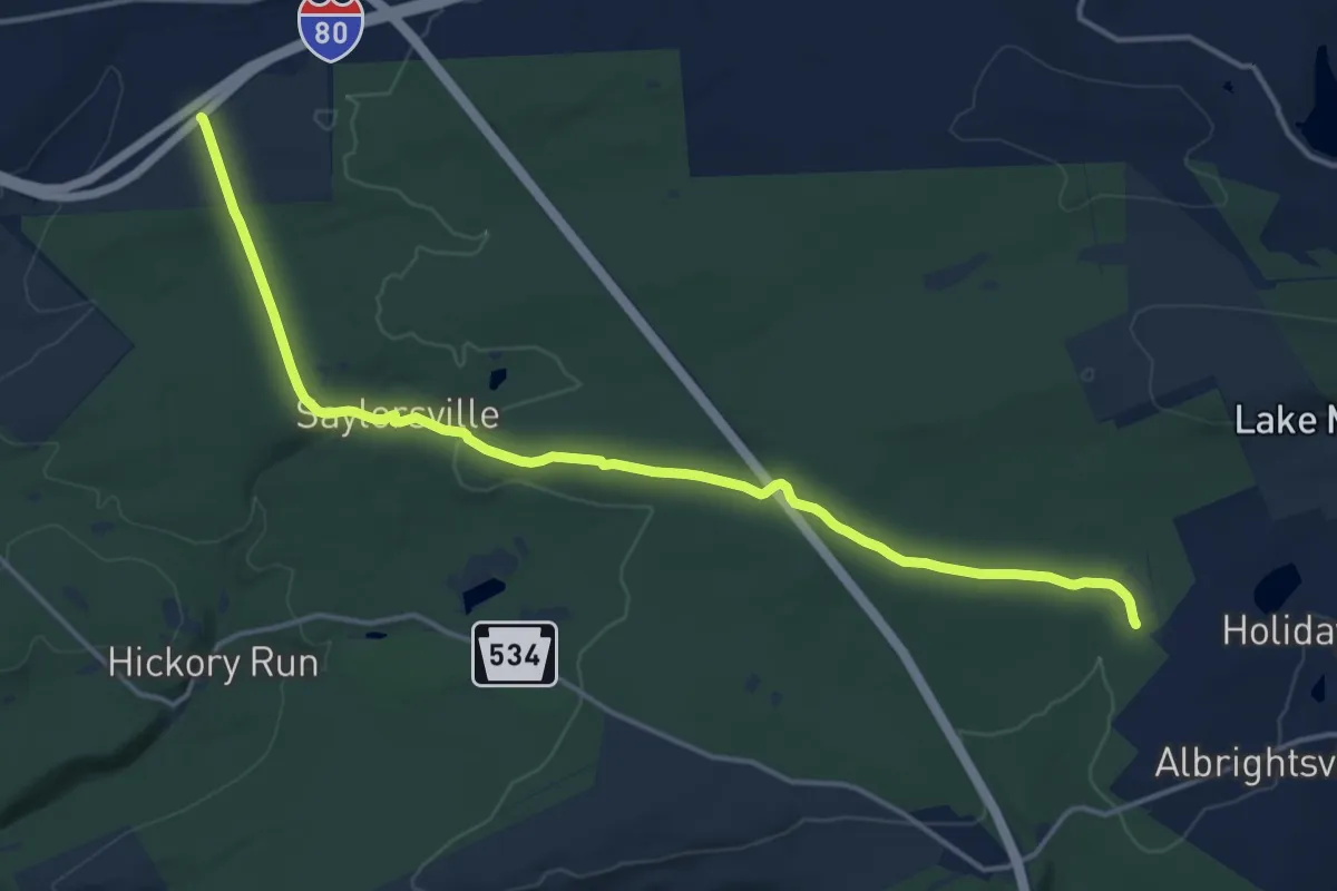
Demanding · Trail
Stage Trail
18.8 km · ↑ 277 m · 5 h 3 min
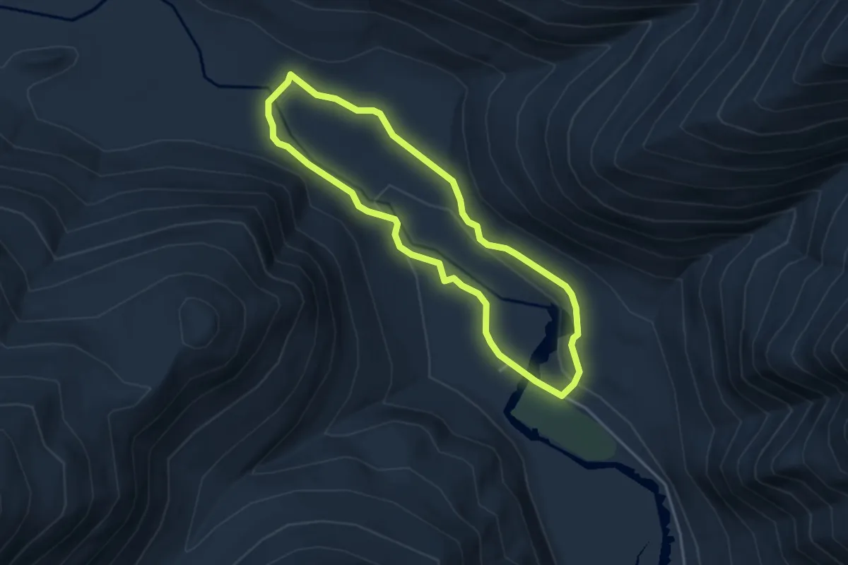
Easy · Trail
Staircase Rapids Loop Trail
3.4 km · ↑ 67 m · 59 min
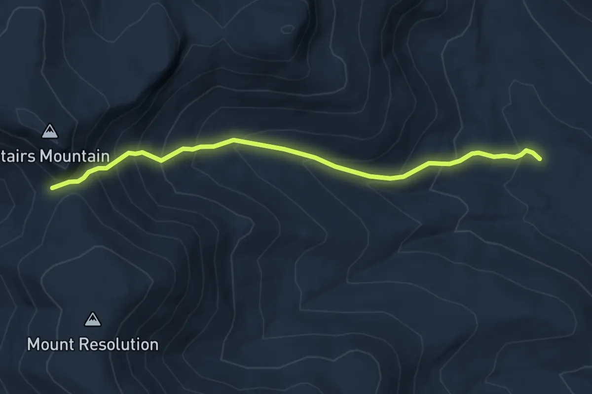
Medium · Trail
Stairs Col Trail
5.5 km · ↑ 511 m · 2 h 24 min
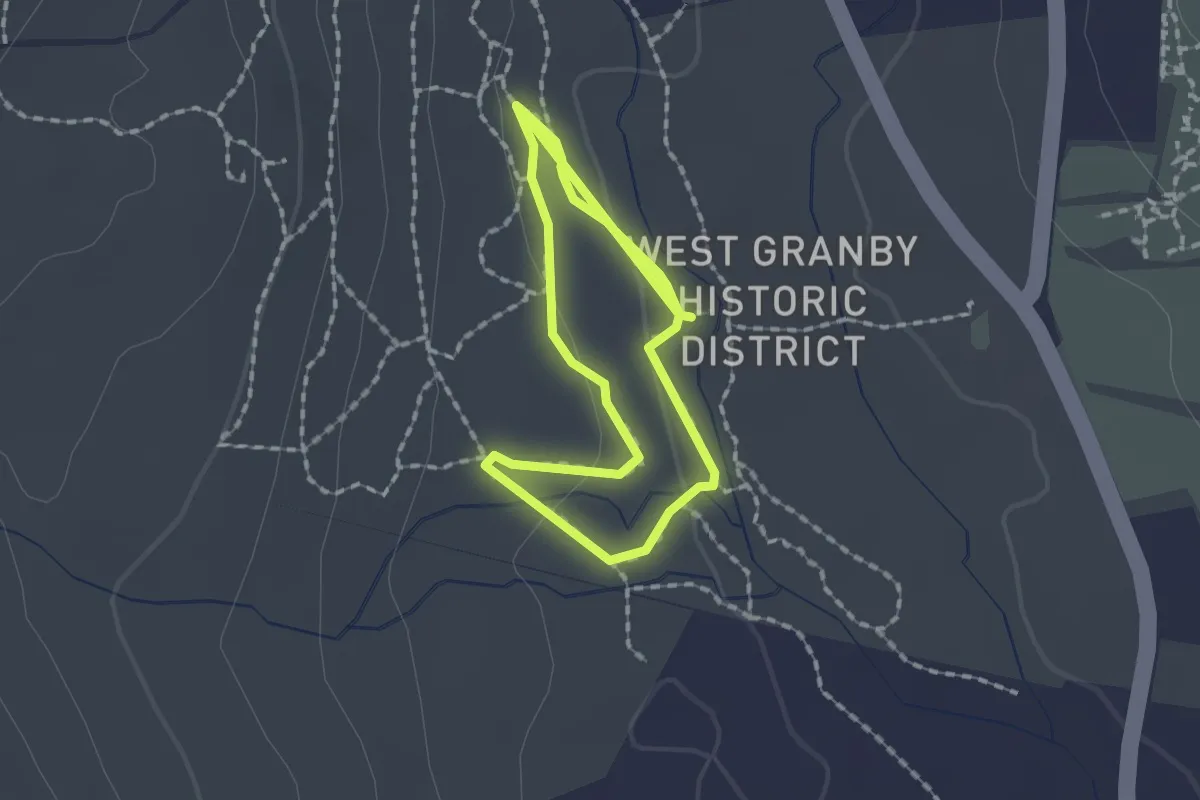
Easy · Trail
Stairs Loop Trail
3.1 km · ↑ 49 m · 51 min
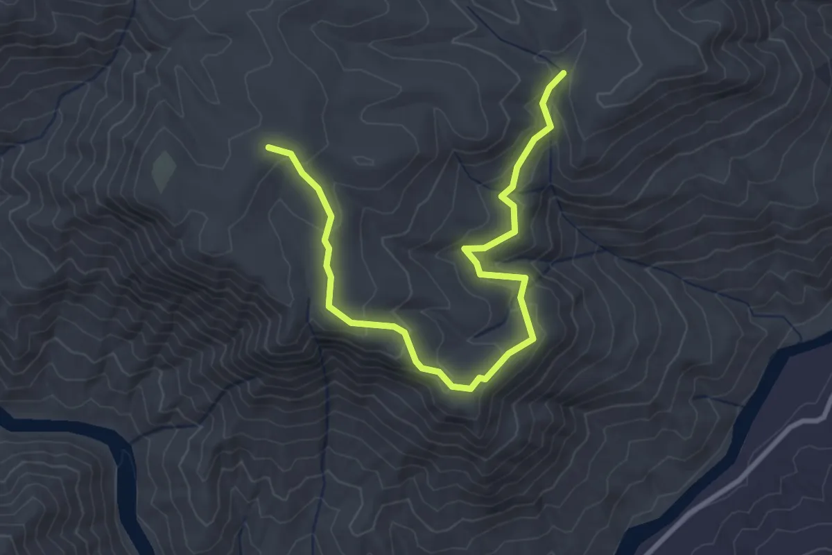
Easy · Trail
Stair Steps Falls
4.1 km · ↑ 202 m · 1 h 24 min
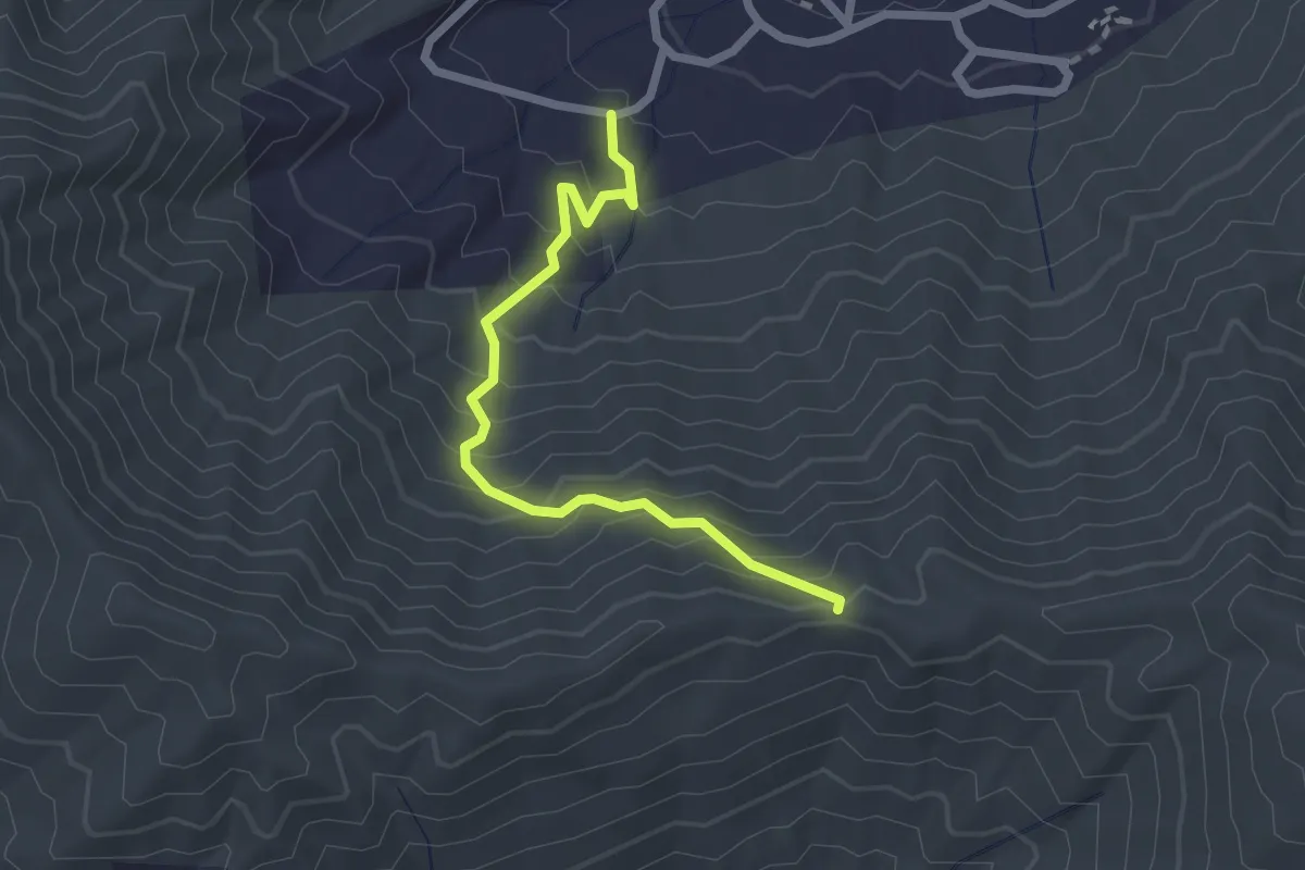
Easy · Trail
Stairway to Heaven Trail
2.6 km · ↑ 276 m · 1 h 13 min
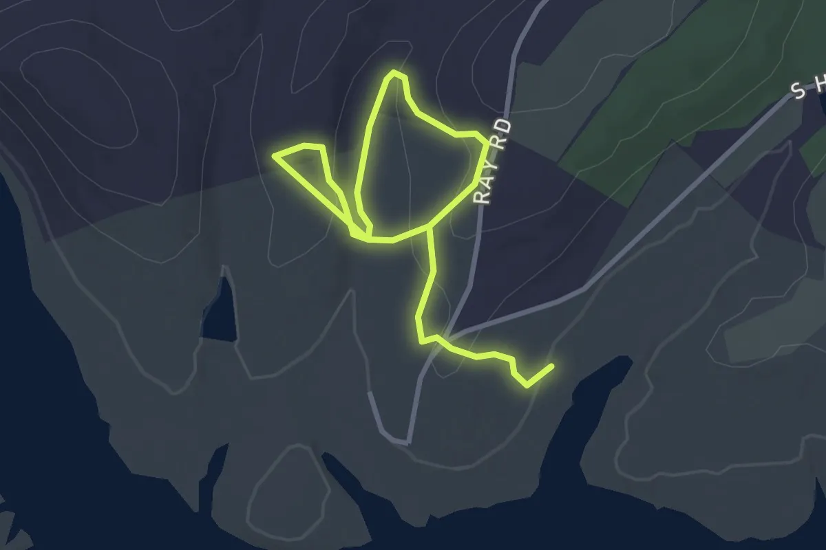
Easy · Trail
Stake Church Trail
4.4 km · ↑ 166 m · 1 h 24 min
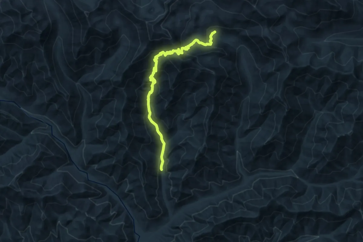
Demanding · Trail
Standup Trail
17.0 km · ↑ 1301 m · 6 h 50 min
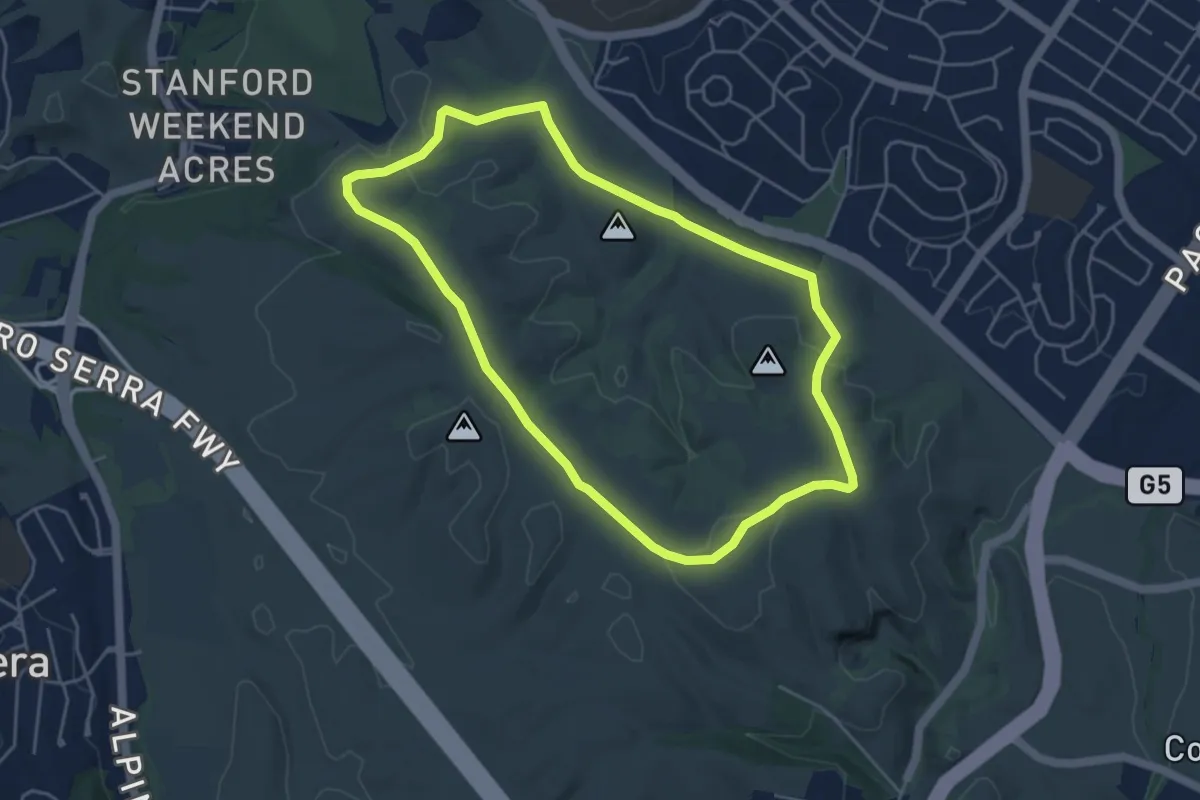
Easy · Trail
Stanford Dish Loop Trail
5.2 km · ↑ 135 m · 1 h 36 min
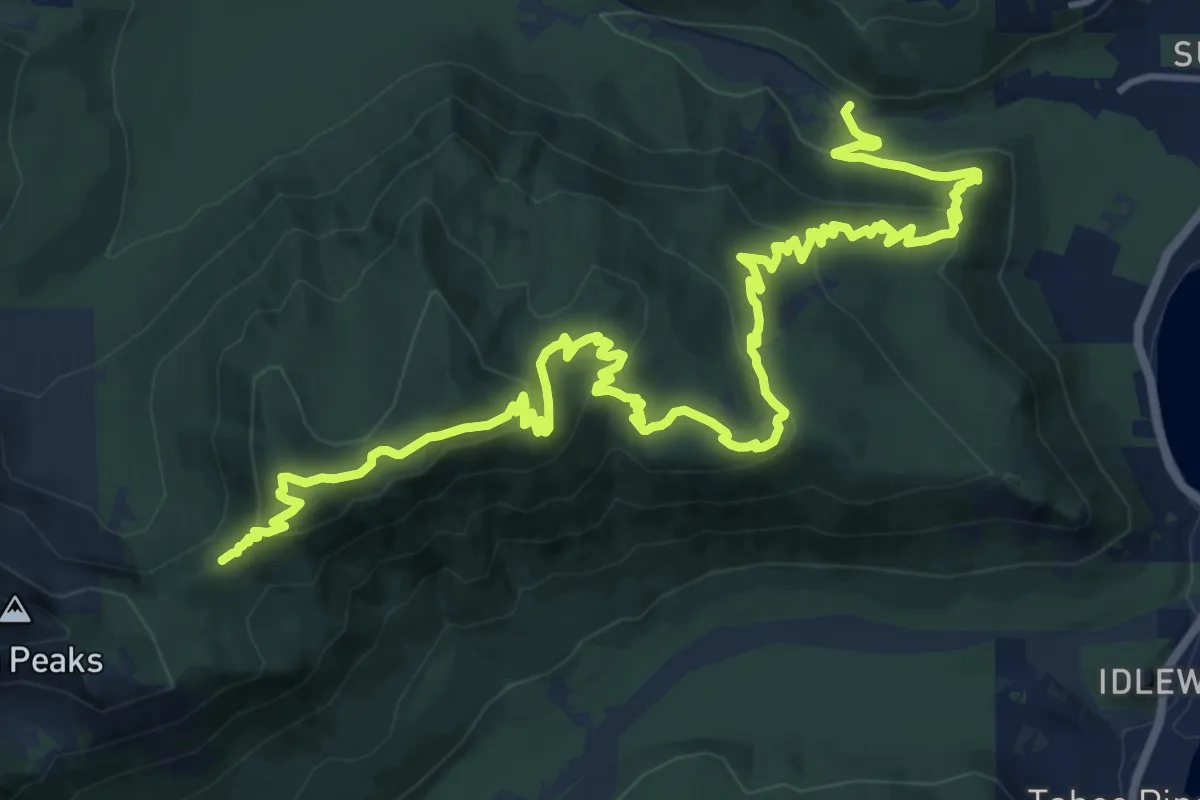
Demanding · Trail
Stanford Rock Trail
22.2 km · ↑ 712 m · 6 h 47 min
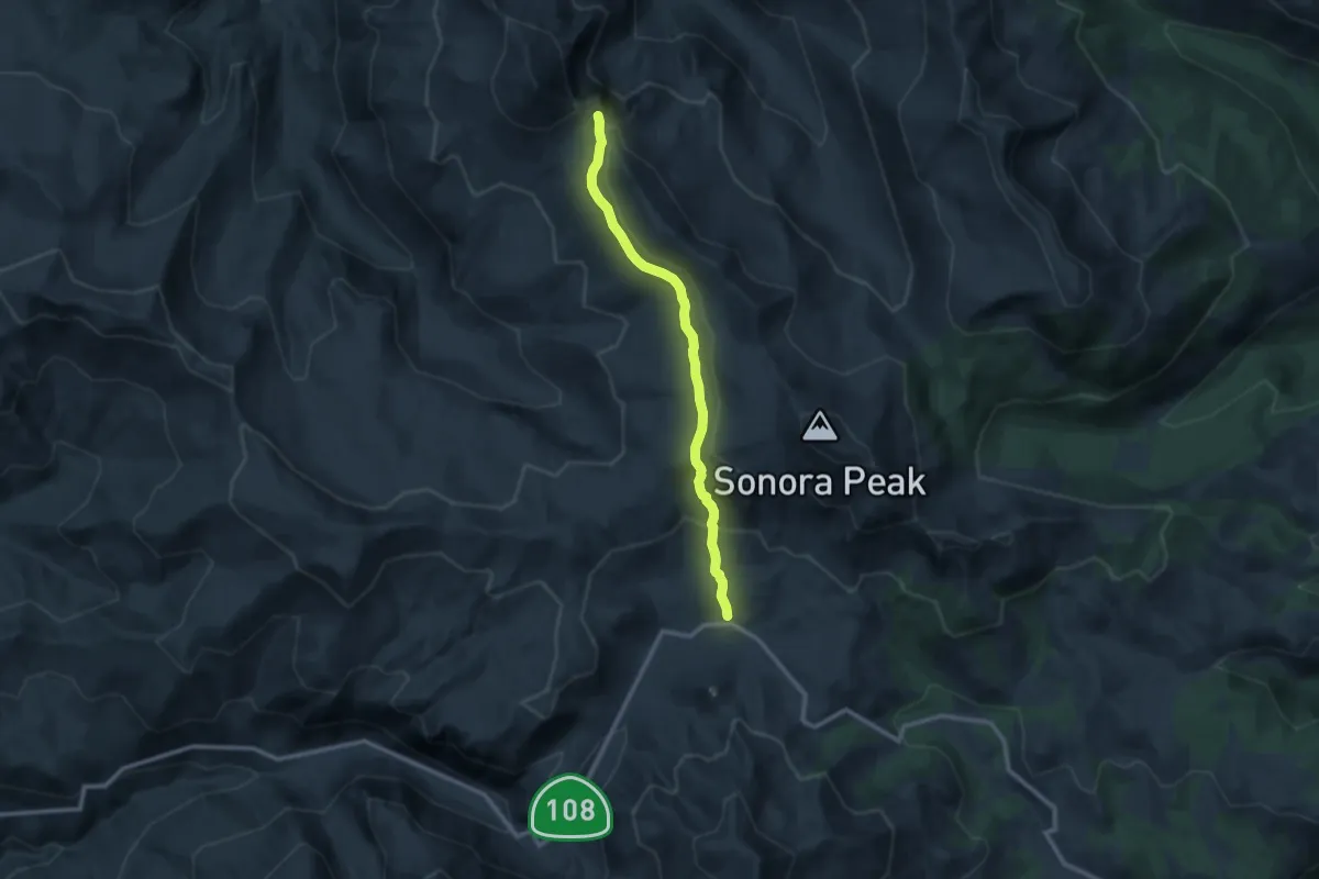
Medium · Trail
Stanislaus Peak Trail
11.0 km · ↑ 403 m · 3 h 28 min
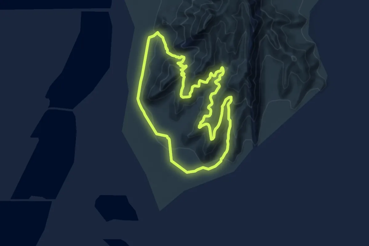
Medium · Trail
Stansbury Island Trail
15.2 km · ↑ 346 m · 4 h 33 min
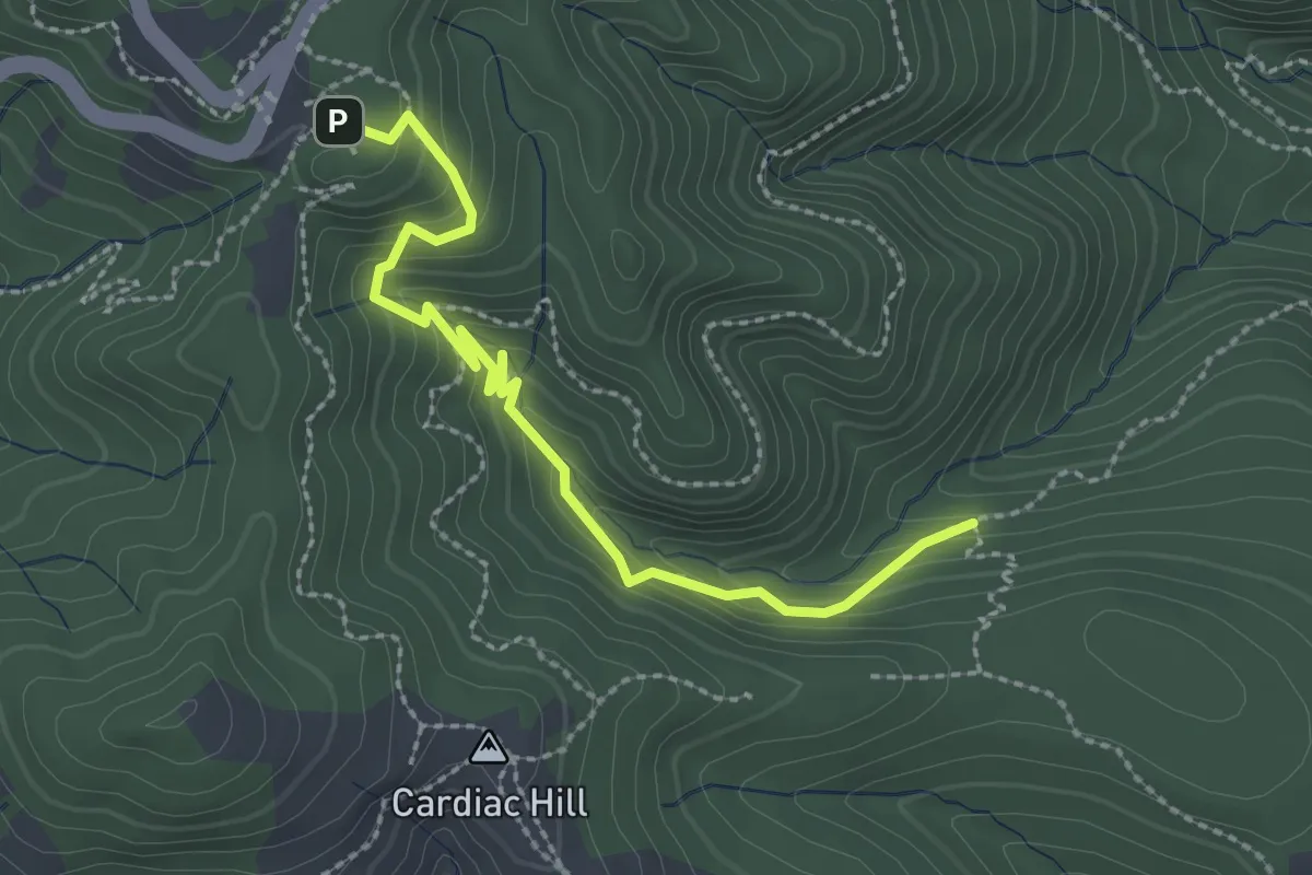
Easy · Trail
Stapleveldt Trail
3.0 km · ↑ 209 m · 1 h 9 min
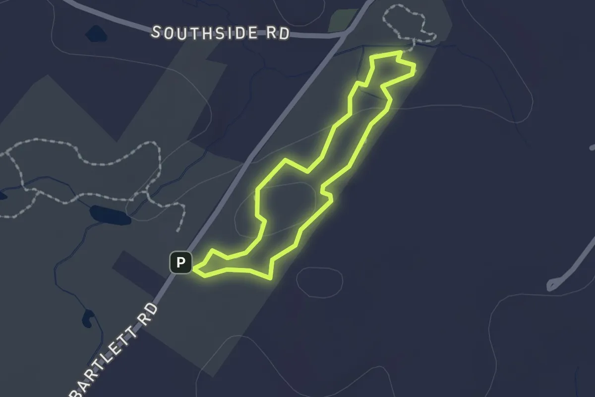
Easy · Trail
Starflower Loop
1.5 km · ↑ 20 m · 25 min
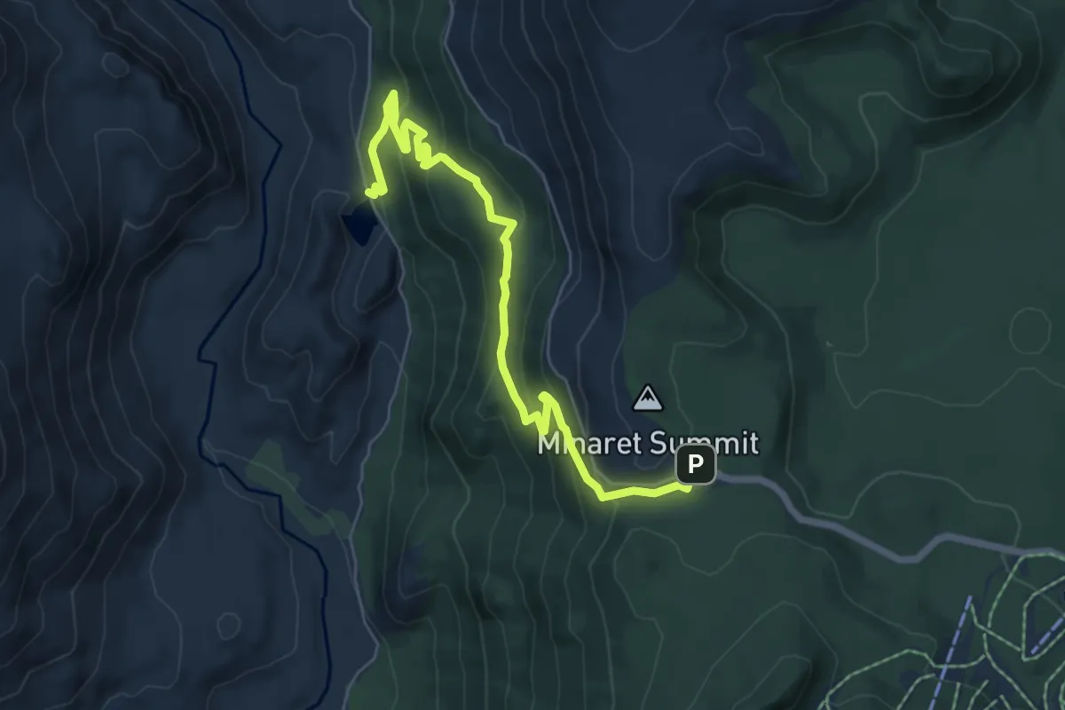
Medium · Trail
Starkweather Lake Trail
7.7 km · ↑ 390 m · 2 h 40 min
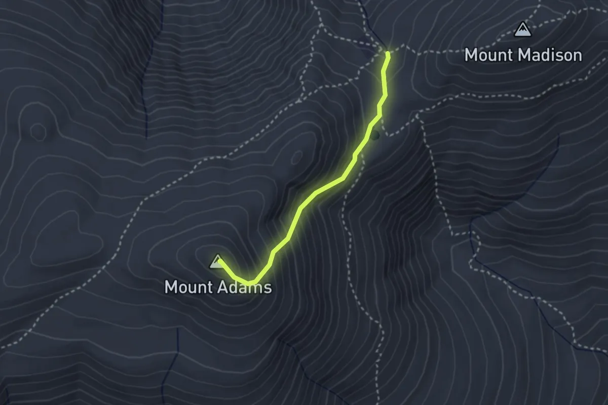
Easy · Summit
Star Lake Trail
2.6 km · ↑ 317 m · 1 h 17 min
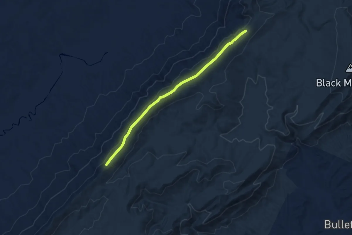
Medium · Trail
Starr Mountain Horse Trail
9.0 km · ↑ 175 m · 2 h 31 min
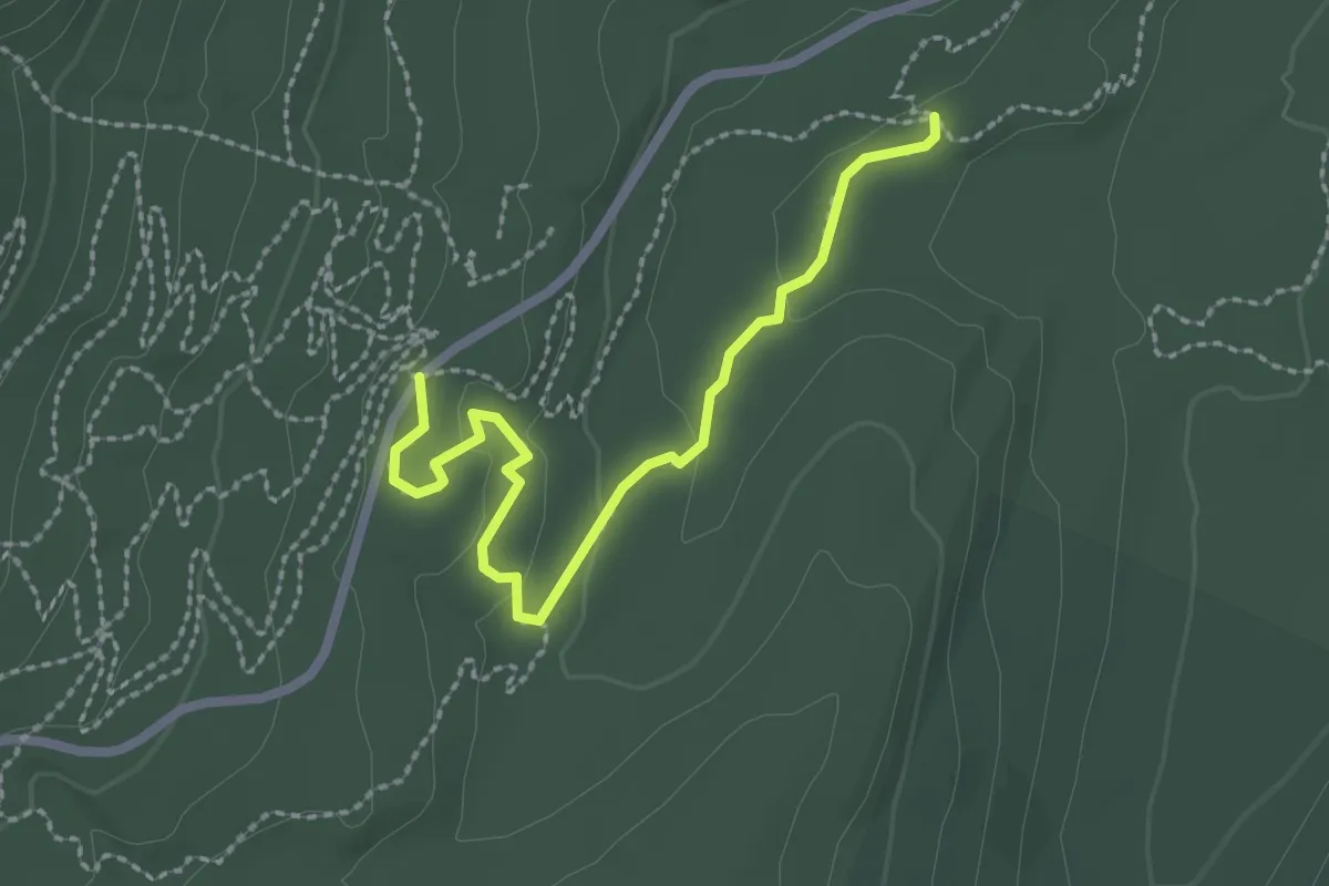
Easy · Trail
Start Me Up
2.8 km · ↑ 45 m · 45 min
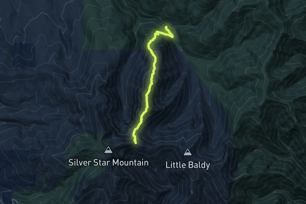
Demanding · Trail
Starway Trail
10.8 km · ↑ 997 m · 4 h 43 min
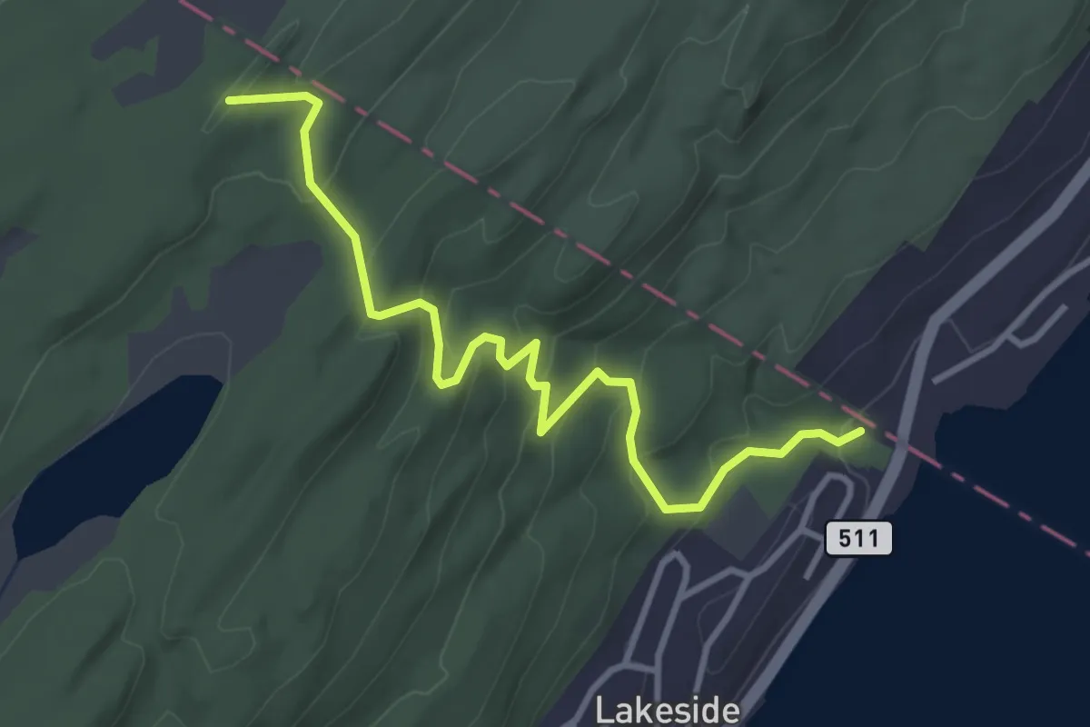
Easy · Trail
State Line Trail
4.0 km · ↑ 224 m · 1 h 26 min
Easy · Trail
State Line Trail
2.4 km · ↑ 96 m · 47 min
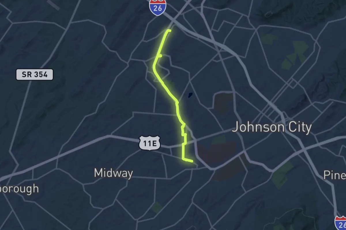
Medium · Trail
State of Franklin Linear trail
13.4 km · ↑ 264 m · 3 h 44 min
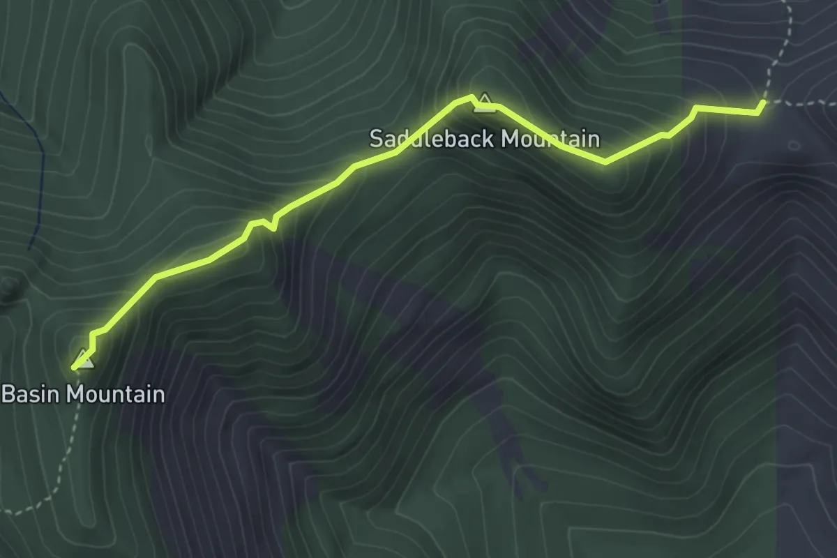
Expert · Summit
State Range Trail
3.9 km · ↑ 496 m · 1 h 59 min
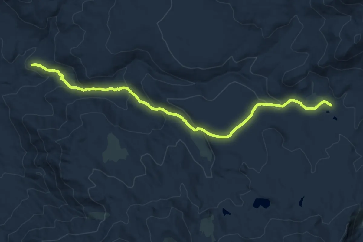
Medium · Trail
Statham Trail
15.8 km · ↑ 660 m · 5 h 10 min
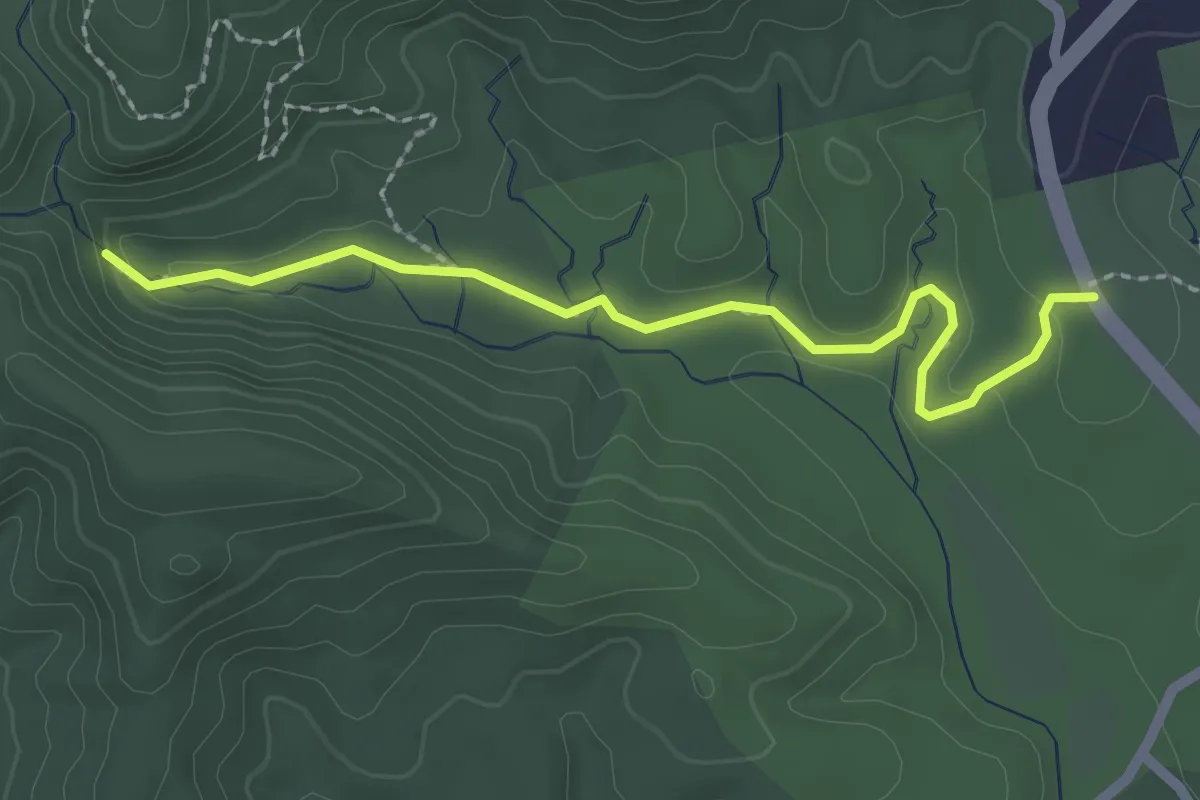
Easy · Trail
Station Cove Falls Trail
2.7 km · ↑ 38 m · 43 min
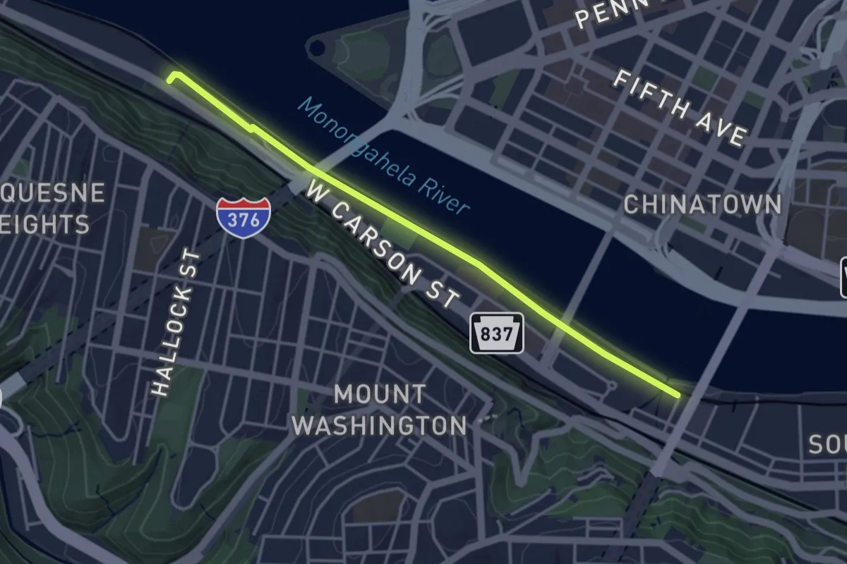
Easy · Trail
Station Square Trail
4.1 km · ↑ 9 m · 59 min
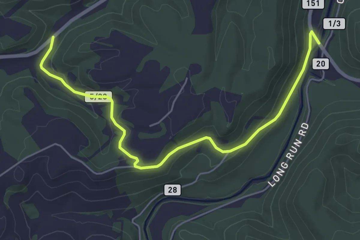
Easy · Trail
Staunton & Parkersburg Trail
6.2 km · ↑ 148 m · 1 h 47 min
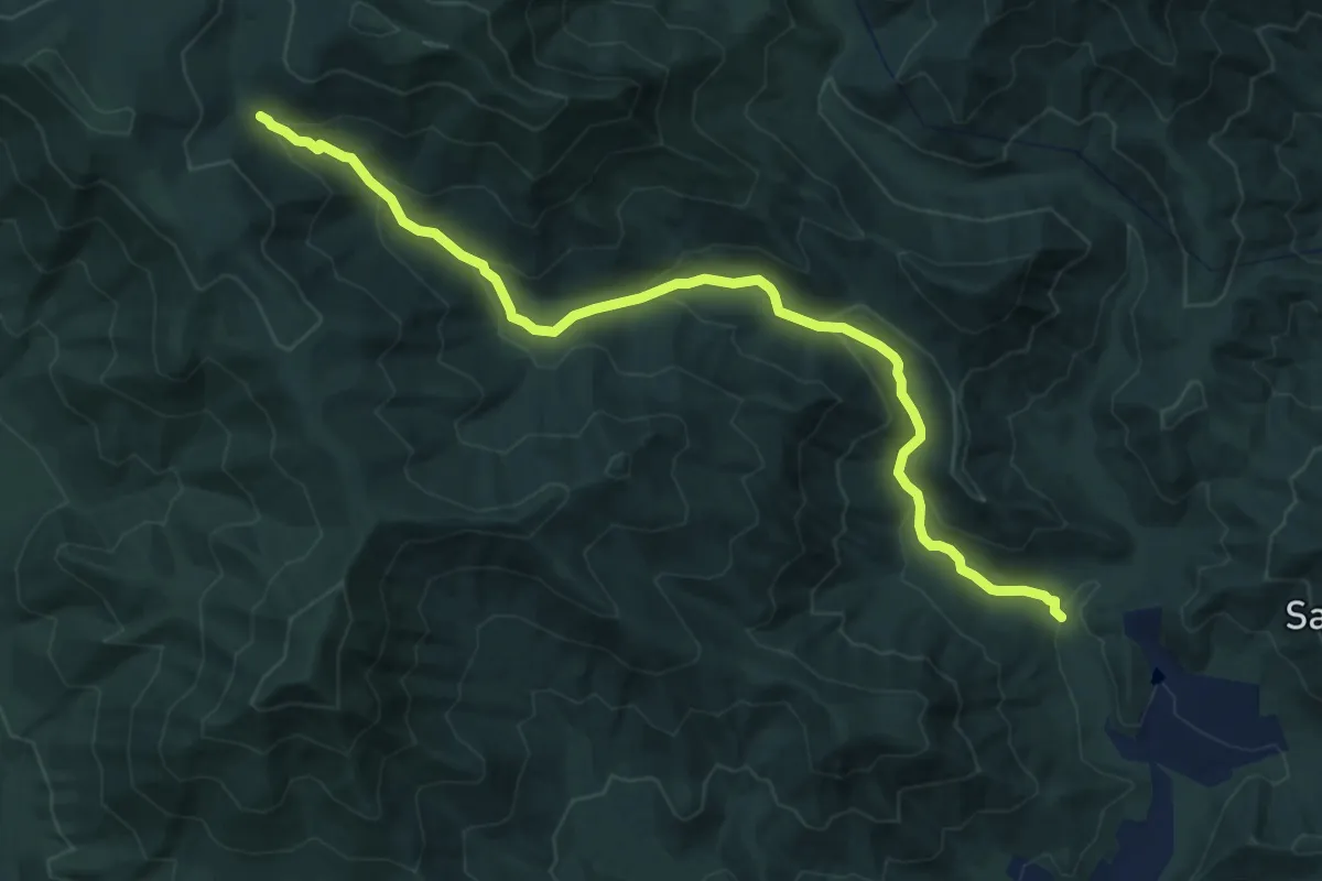
Medium · Trail
Staunton River Trail
12.3 km · ↑ 613 m · 4 h 14 min
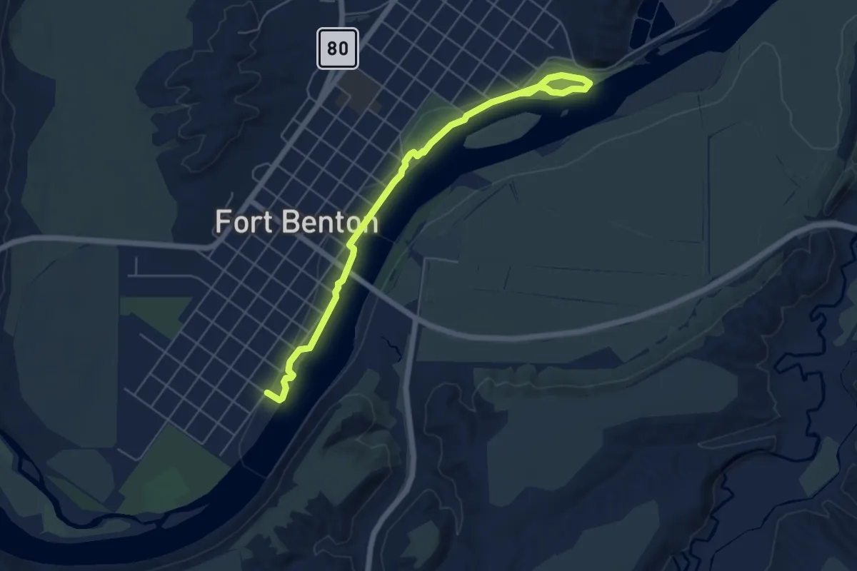
Easy · Trail
Steamboat Levee Walking Trail
3.0 km · ↑ 0 m · 45 min
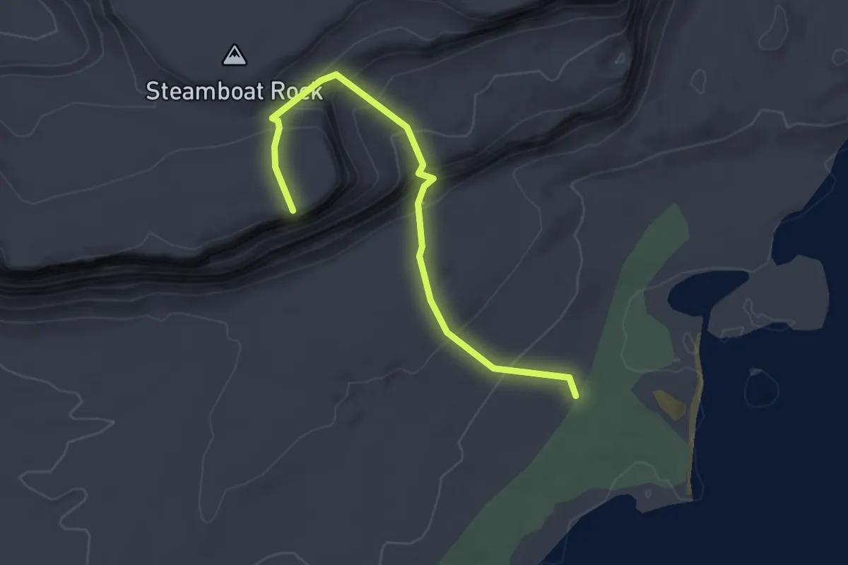
Easy · Trail
Steamboat Rock Butte
2.9 km · ↑ 216 m · 1 h 9 min
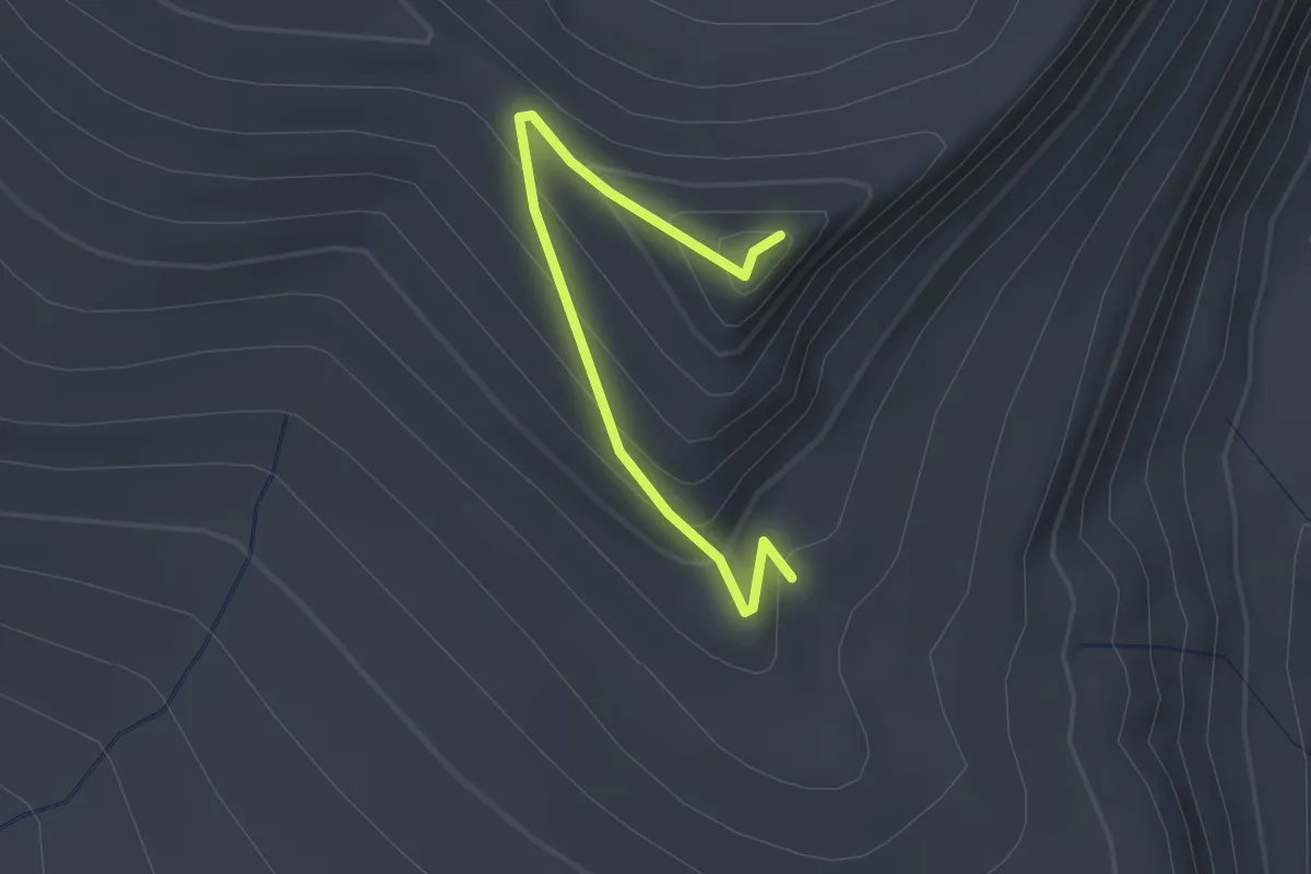
Easy · Trail
Steamboat Viewpoint Trail #14
2.2 km · ↑ 187 m · 55 min
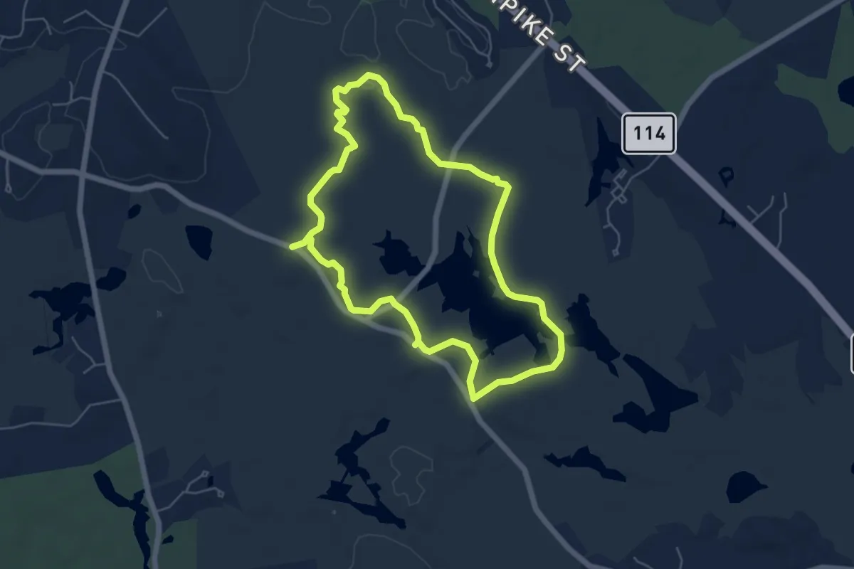
Easy · Trail
Stearns Pond Blue Loop
5.5 km · ↑ 26 m · 1 h 26 min
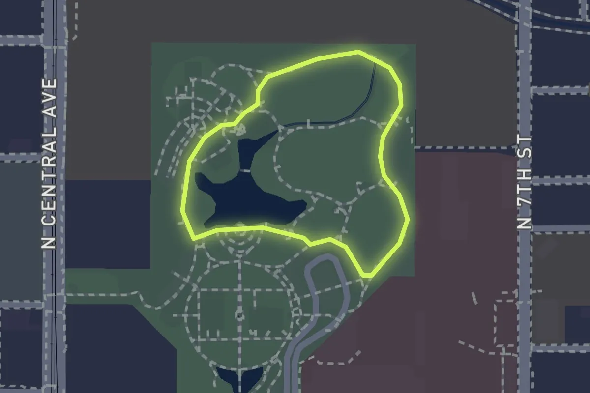
Easy · Trail
Steele Indian School Park Walking Path
1.3 km · ↑ 0 m · 20 min
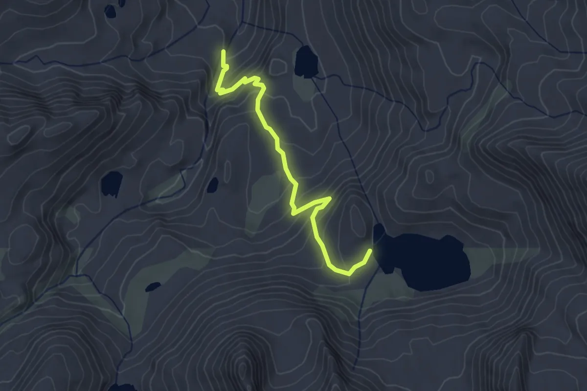
Easy · Trail
Steelhead Lake Trail
3.8 km · ↑ 262 m · 1 h 28 min