Trails in United States
10,367 hiking trails, each with its route, climb, walking time and grade.
All trails, page 182 of 216
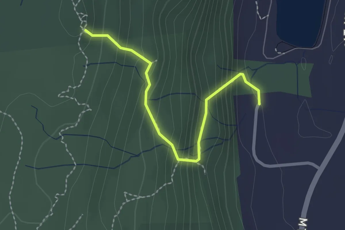
Easy · Trail
Steep Climb Trail
2.3 km · ↑ 189 m · 56 min
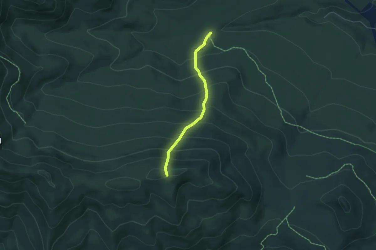
Medium · Trail
Steeple Ski Trail
3.7 km · ↑ 440 m · 1 h 50 min
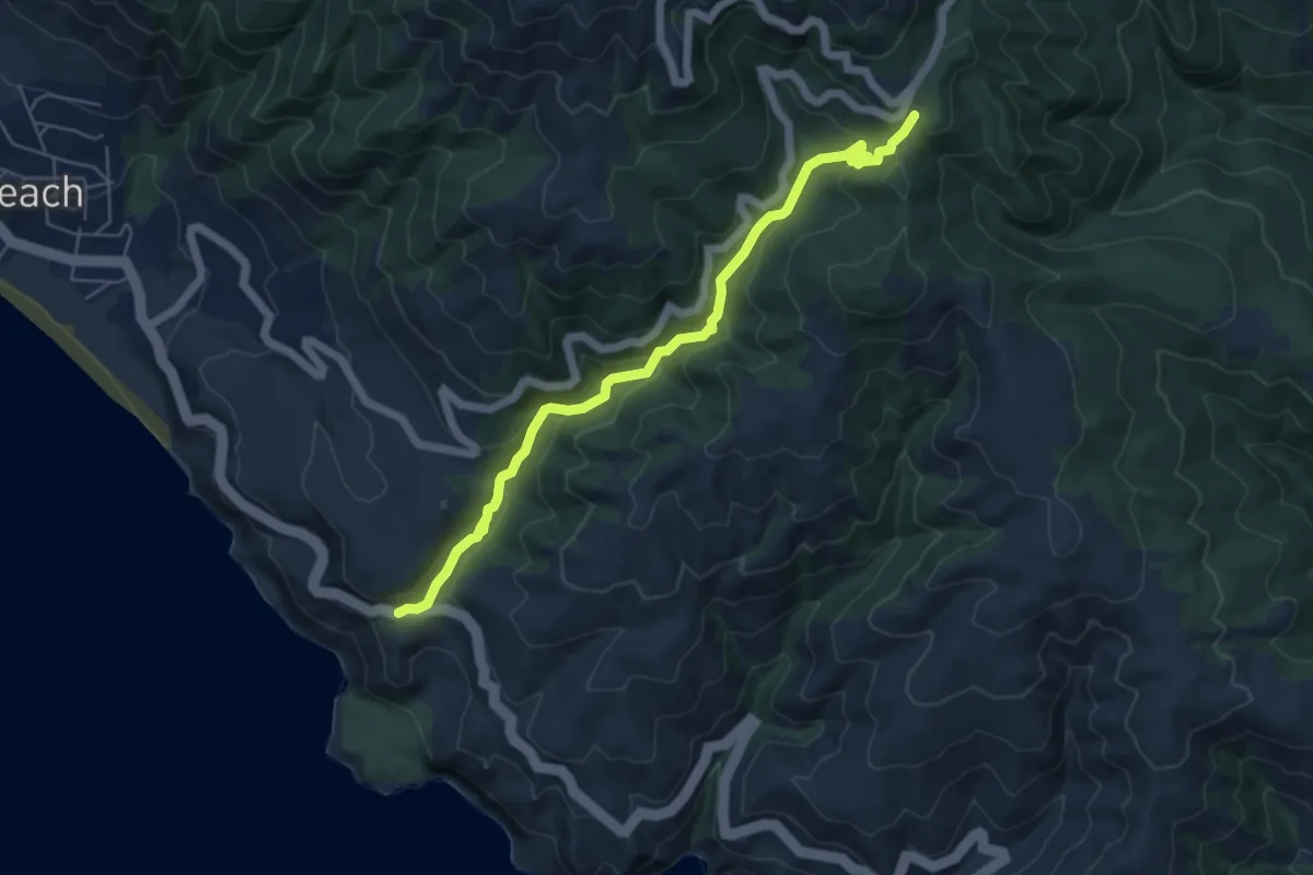
Medium · Trail
Steep Ravine Trail
6.6 km · ↑ 347 m · 2 h 18 min
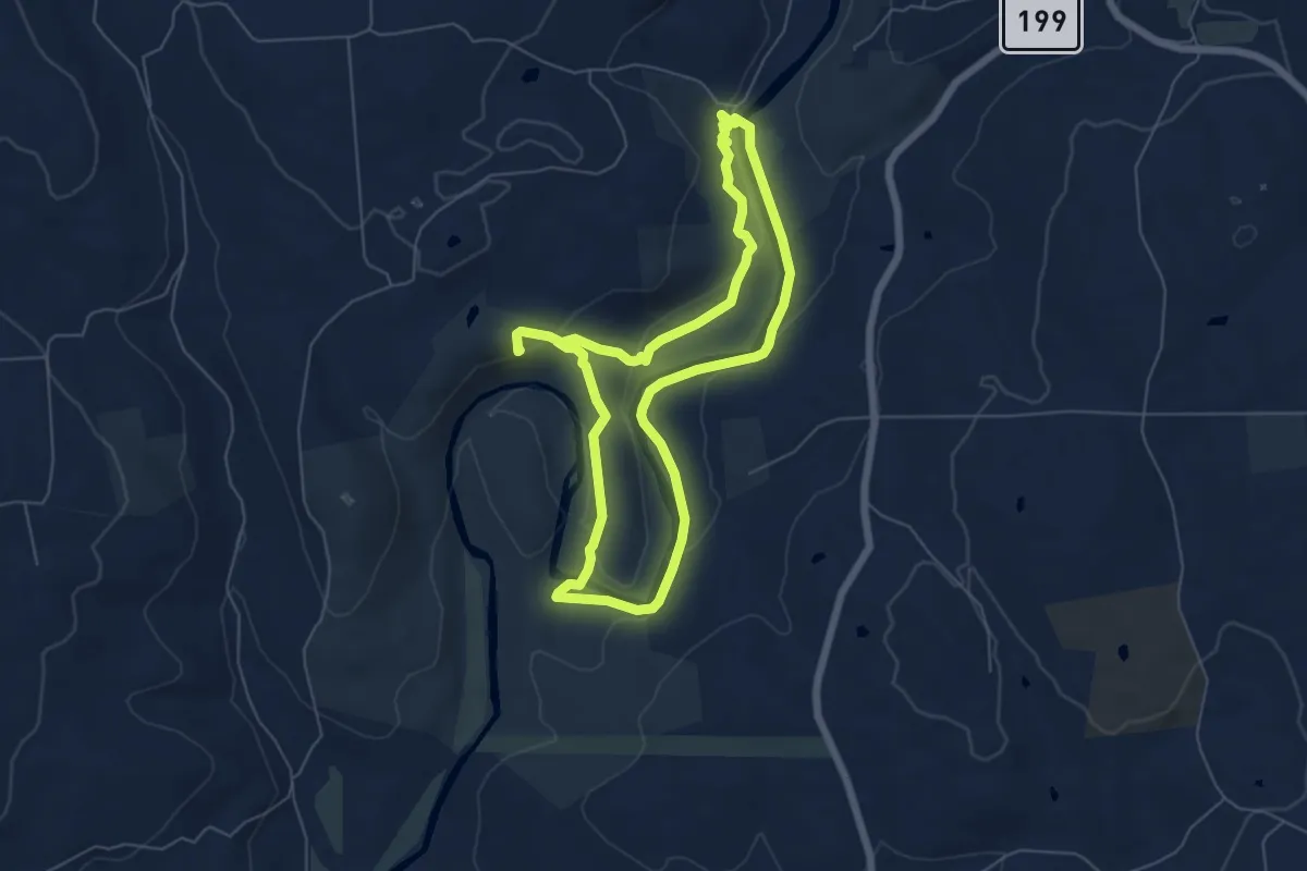
Easy · Summit
Steep Rock Loop
6.2 km · ↑ 164 m · 1 h 54 min
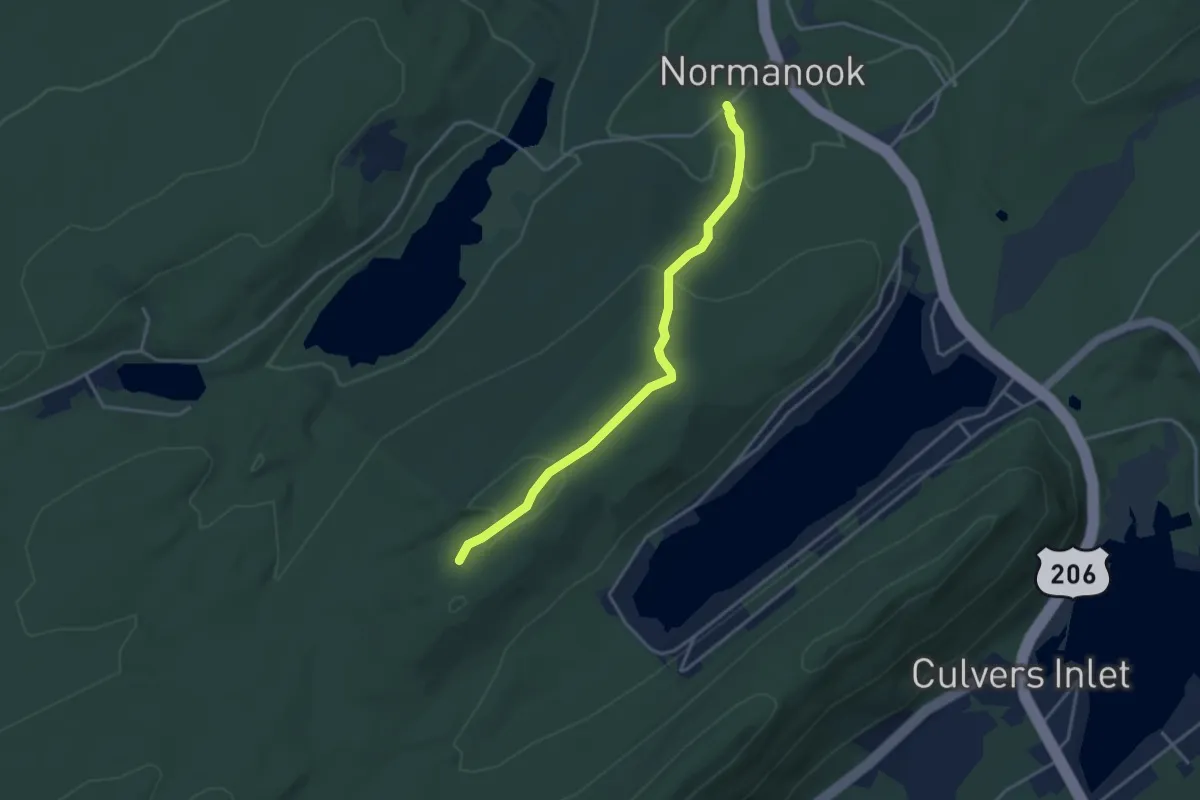
Easy · Trail
Steffen Trail
4.0 km · ↑ 130 m · 1 h 13 min
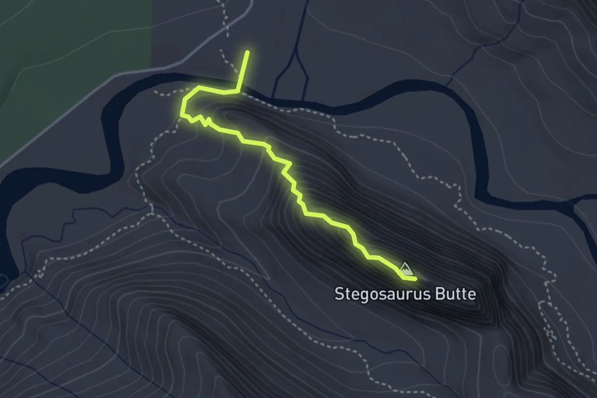
Medium · Summit
Stegosaurus Butte Trail
3.2 km · ↑ 354 m · 1 h 31 min
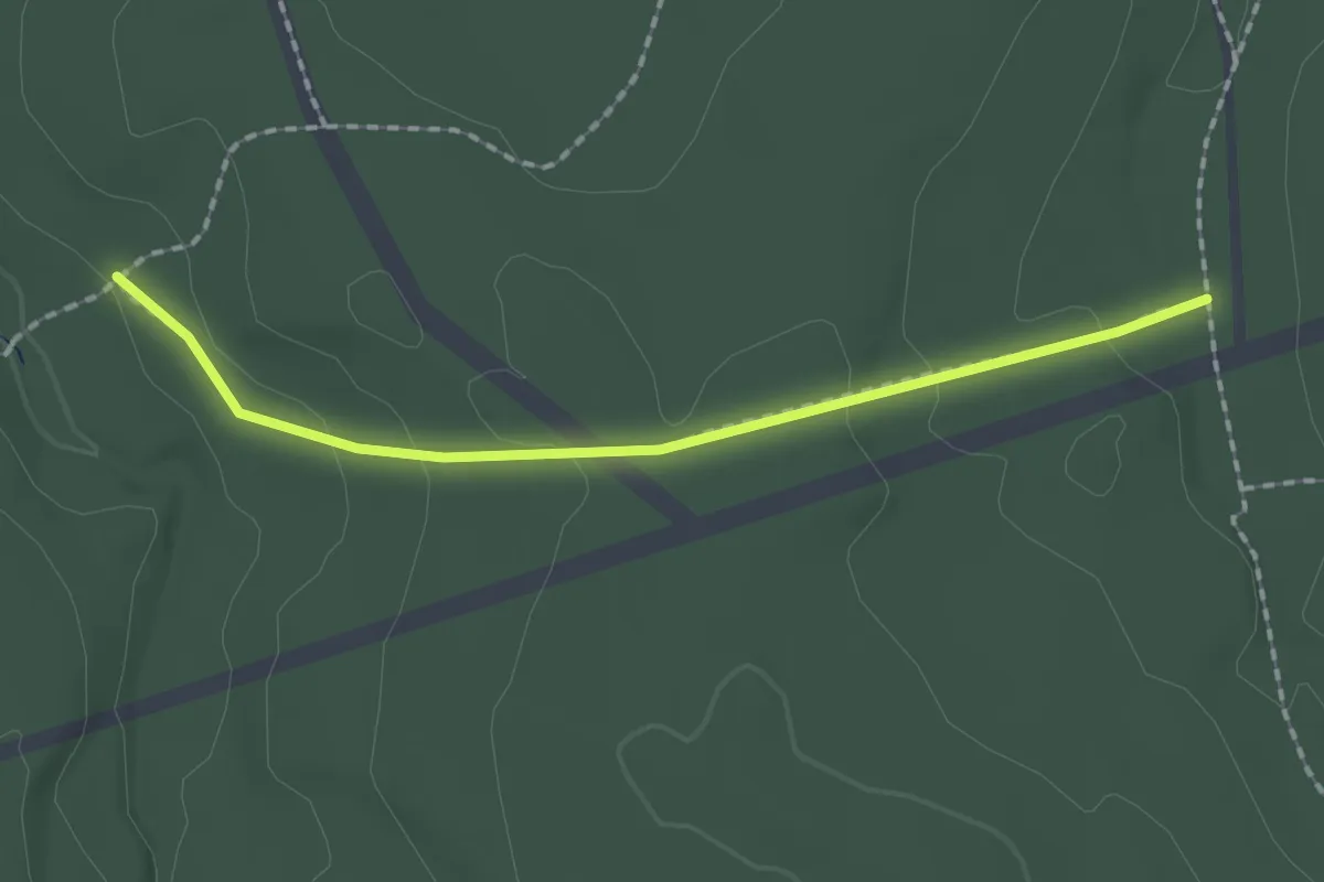
Easy · Trail
Stemwinder Trail
2.0 km · ↑ 58 m · 36 min
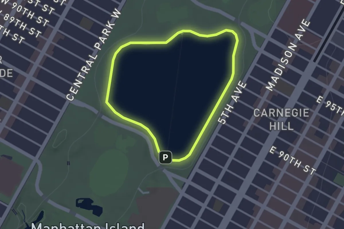
Easy · Trail
Stephanie and Fred Shuman Running Track
2.5 km · ↑ 0 m · 38 min
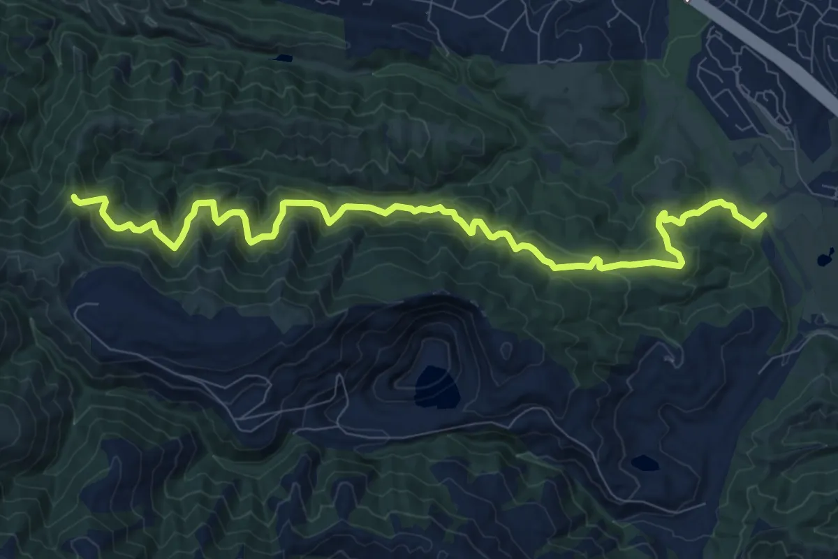
Medium · Trail
Stephen E. Abbors Trail
12.3 km · ↑ 597 m · 4 h 12 min
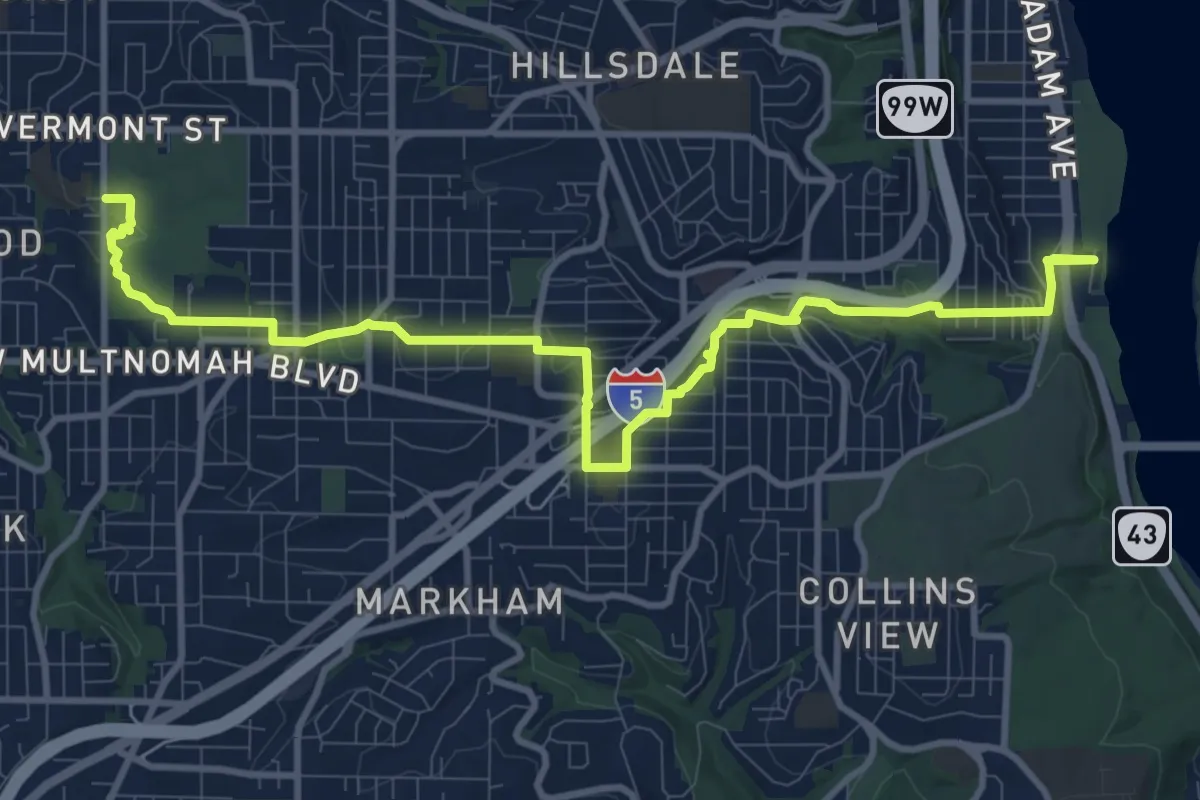
Medium · Trail
Stephens Creek Trail
12.8 km · ↑ 301 m · 3 h 41 min
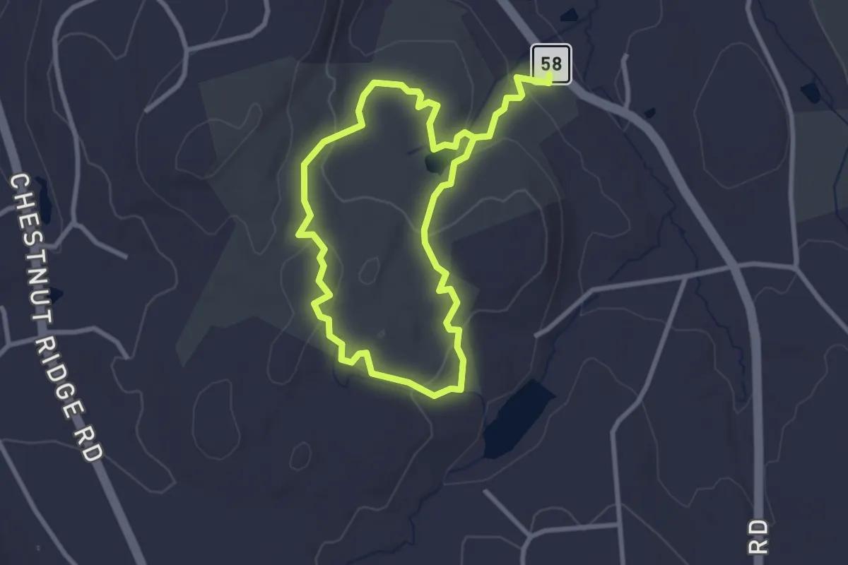
Easy · Trail
Stephenson Trail
2.7 km · ↑ 97 m · 52 min
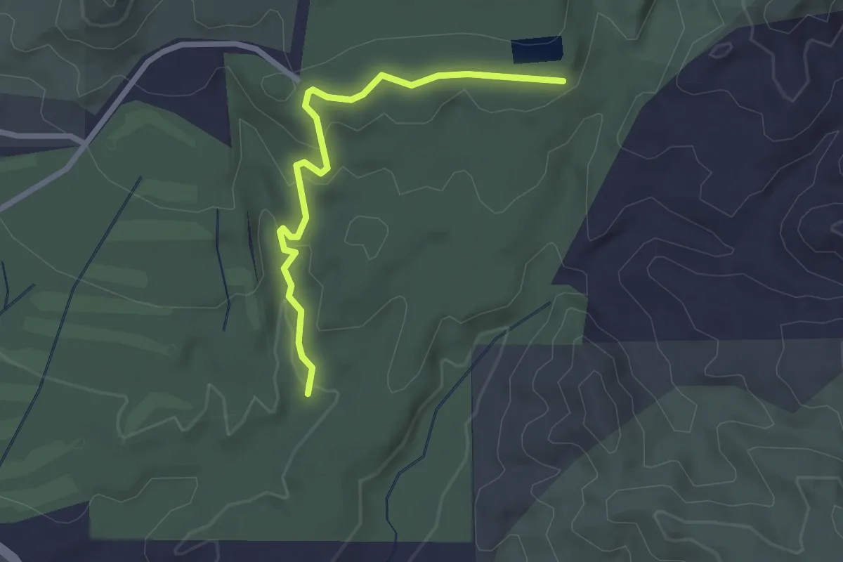
Easy · Trail
Stephens Ranch Spur Trail
2.8 km · ↑ 87 m · 51 min
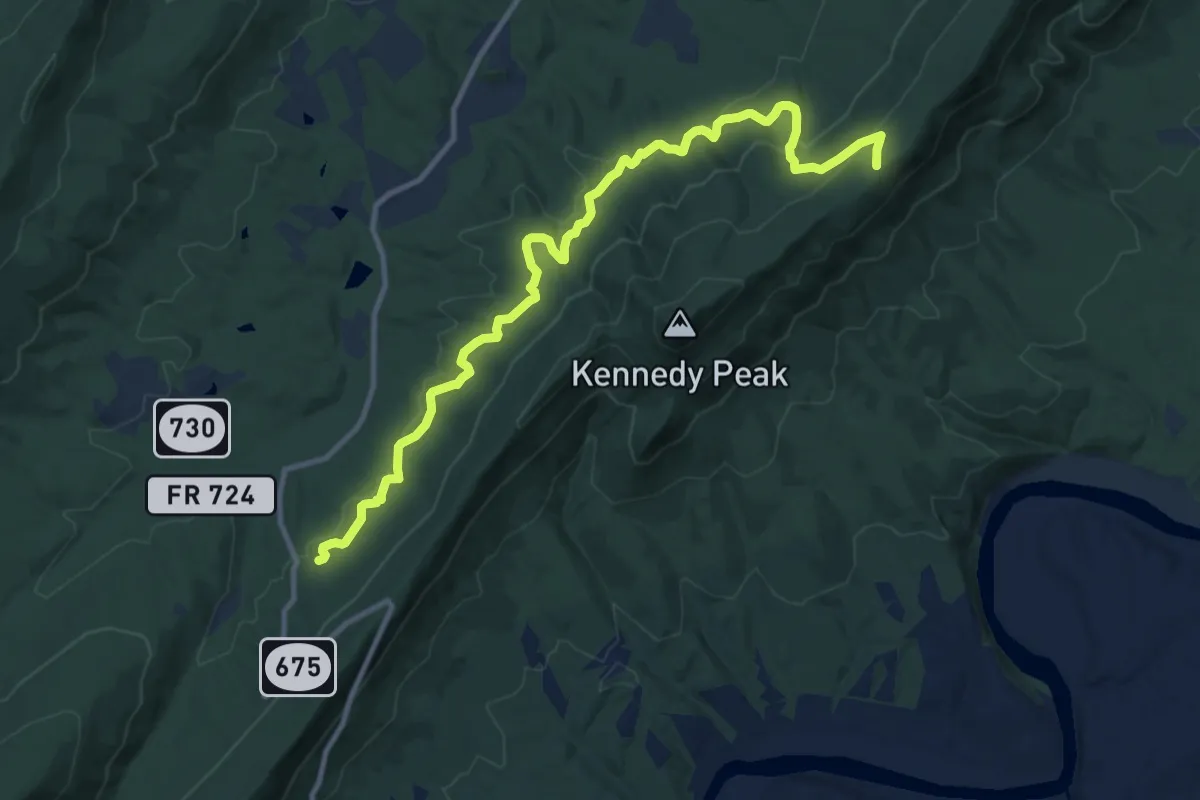
Medium · Trail
Stephens Trail
14.1 km · ↑ 385 m · 4 h 10 min
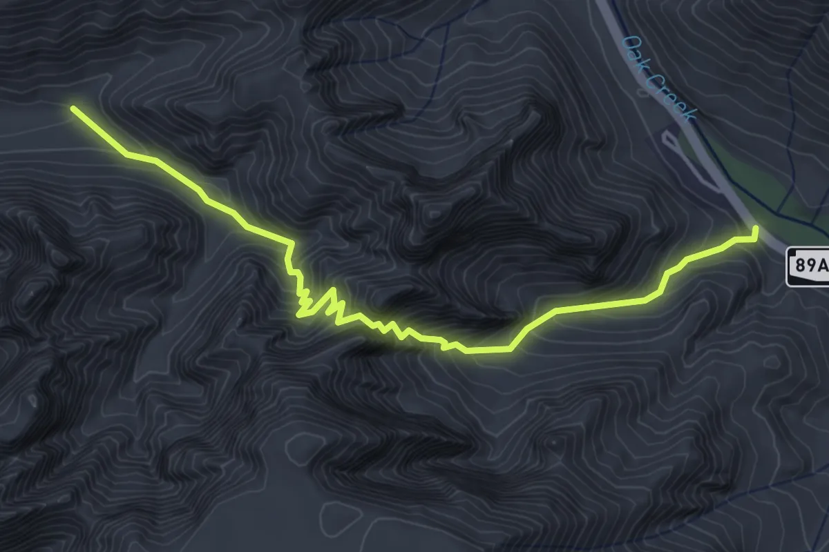
Expert · Trail
Sterling Pass #46
5.7 km · ↑ 600 m · 2 h 39 min
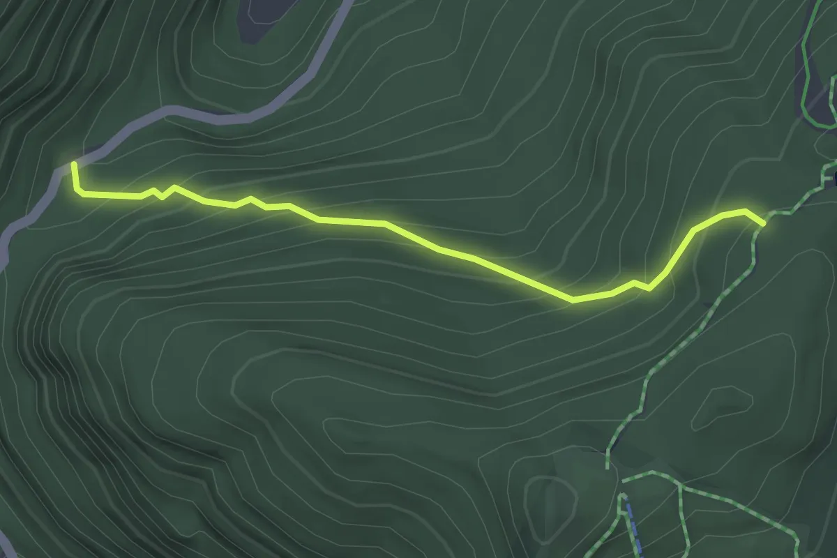
Easy · Trail
Sterling Pond Trail
2.9 km · ↑ 279 m · 1 h 18 min
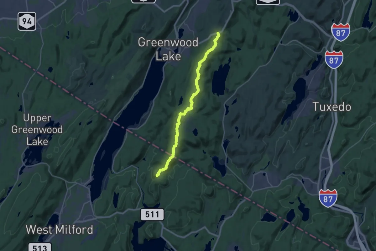
Demanding · Trail
Sterling Ridge Trail
20.8 km · ↑ 813 m · 6 h 41 min
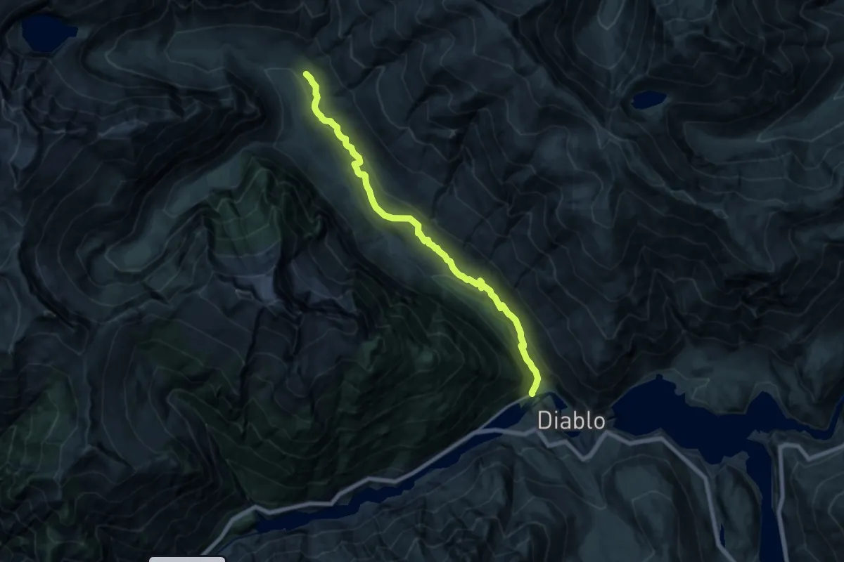
Medium · Trail
Stetattle Creek Trail
14.8 km · ↑ 596 m · 4 h 47 min
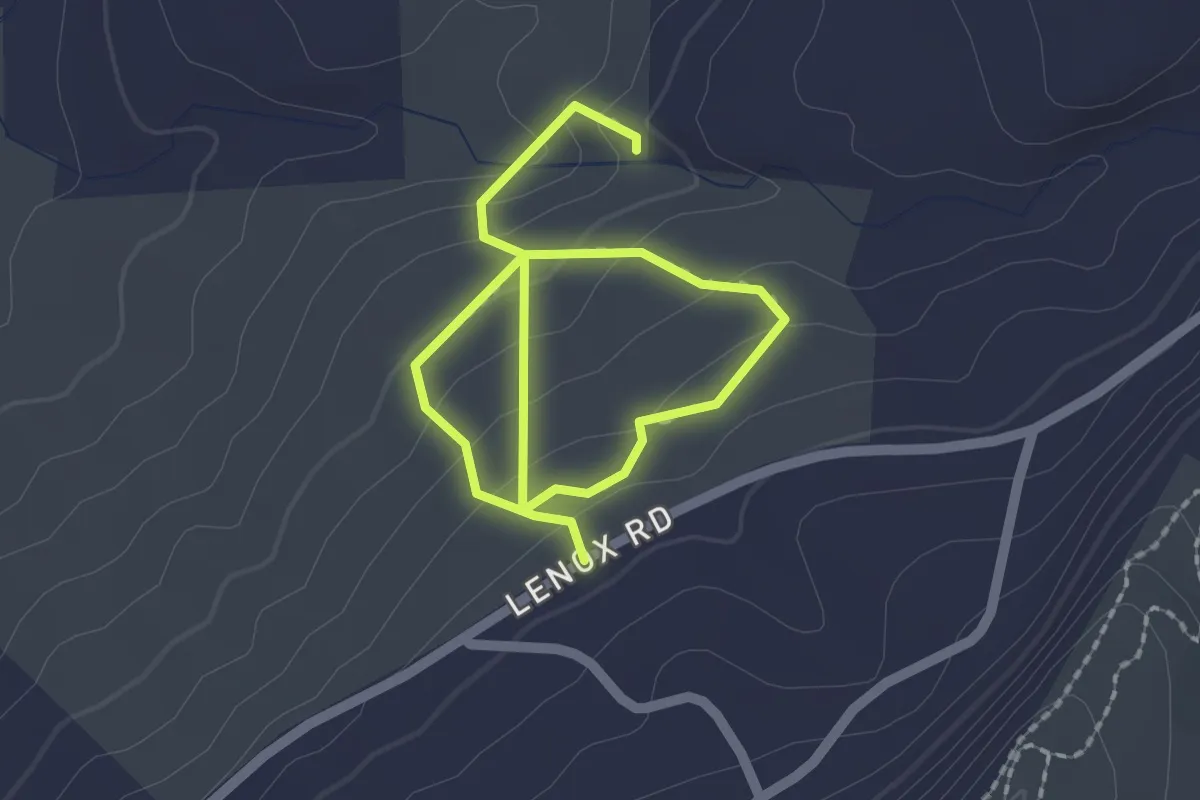
Easy · Trail
Stevens Glenn Loop Trail
3.1 km · ↑ 176 m · 1 h 7 min
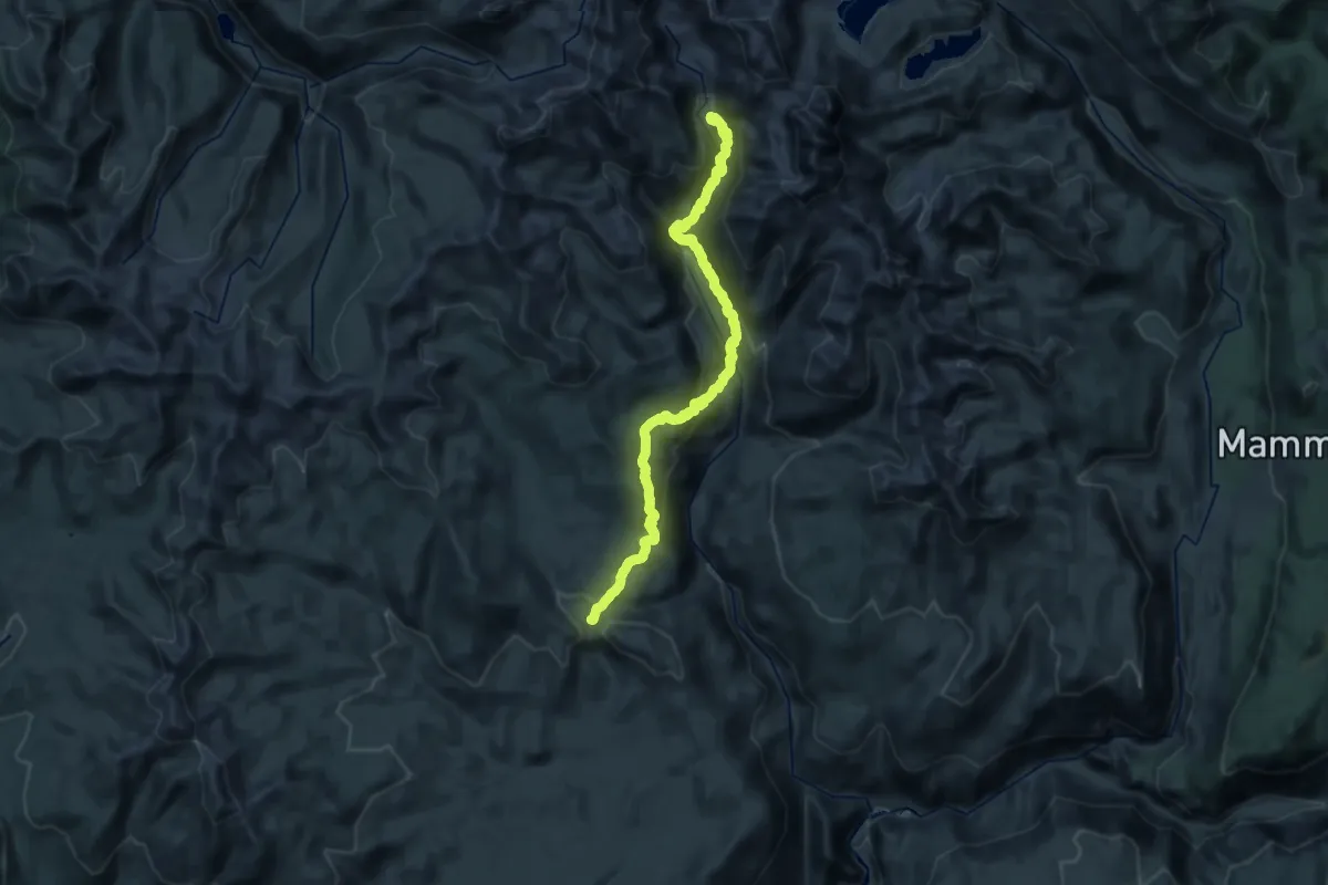
Demanding · Trail
Stevenson Trail
19.1 km · ↑ 1071 m · 6 h 49 min
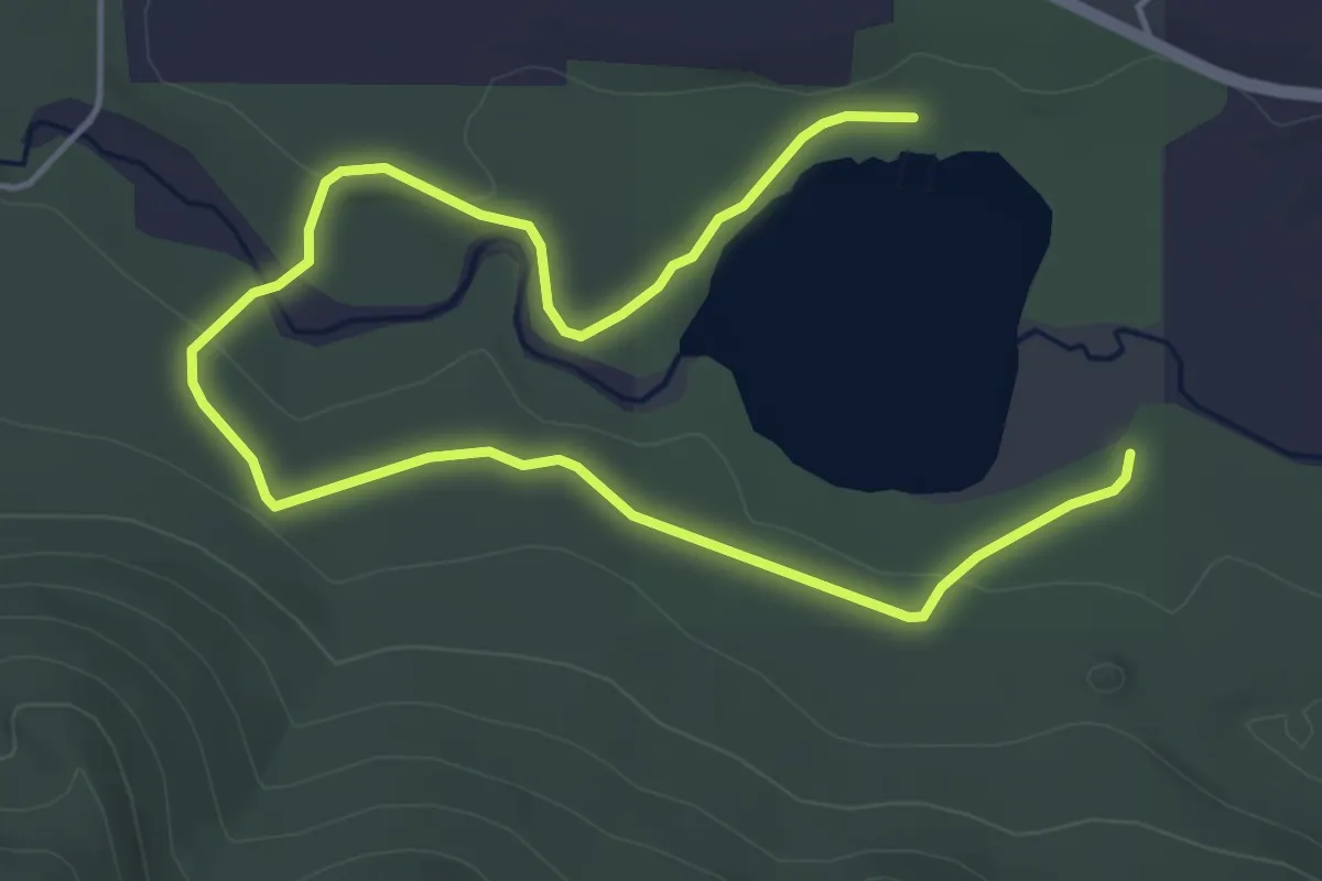
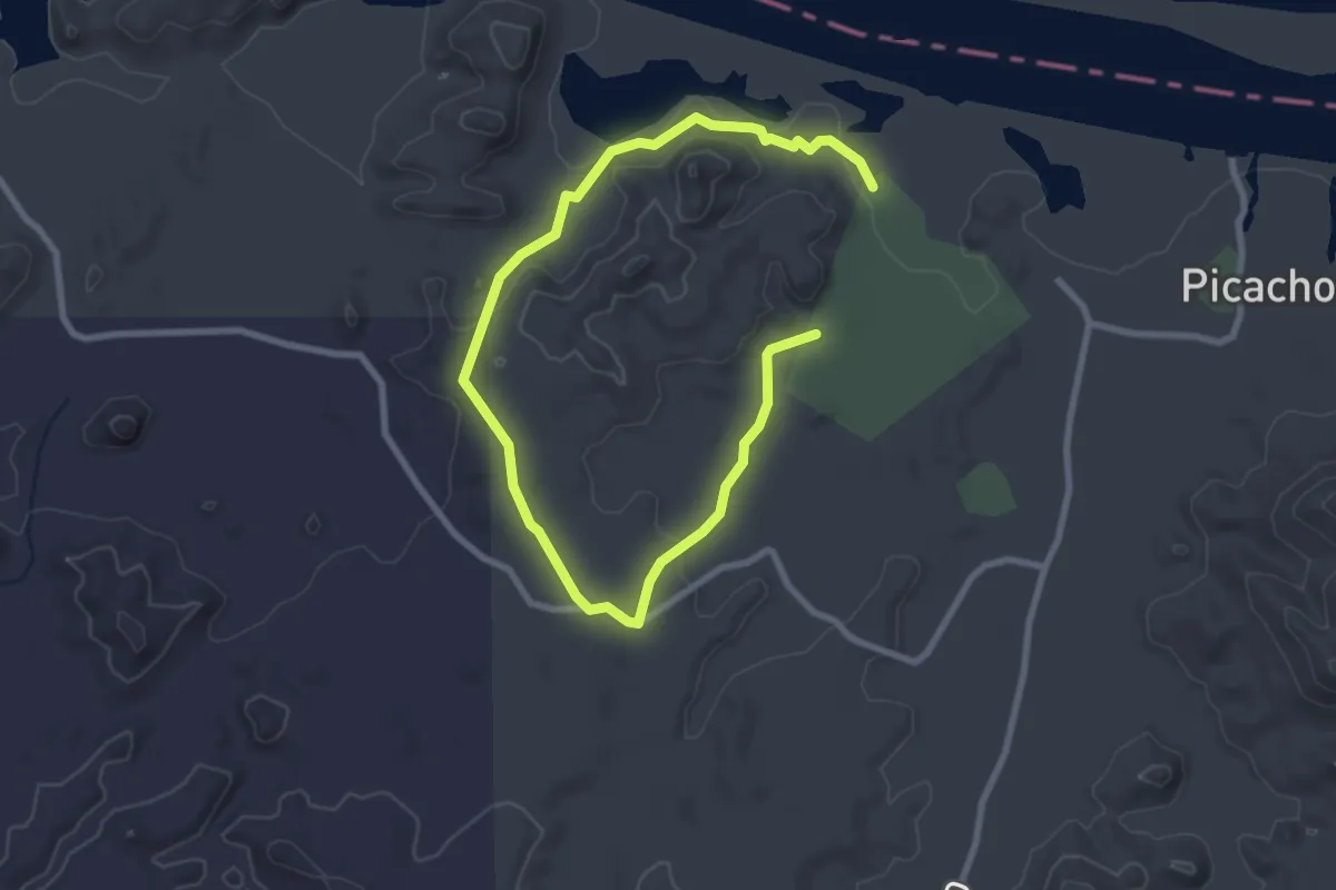
Easy · Trail
Stewardship Trail
6.5 km · ↑ 57 m · 1 h 40 min
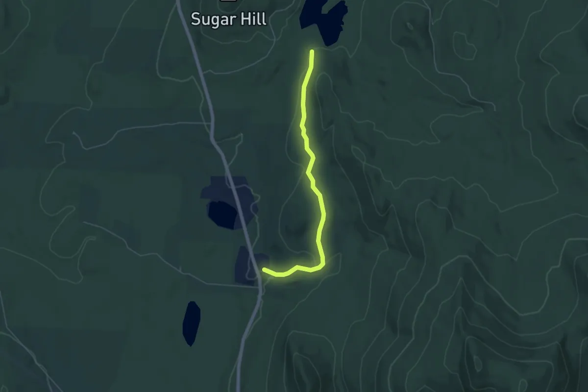
Easy · Trail
Stewart Lake Trail
4.7 km · ↑ 64 m · 1 h 15 min
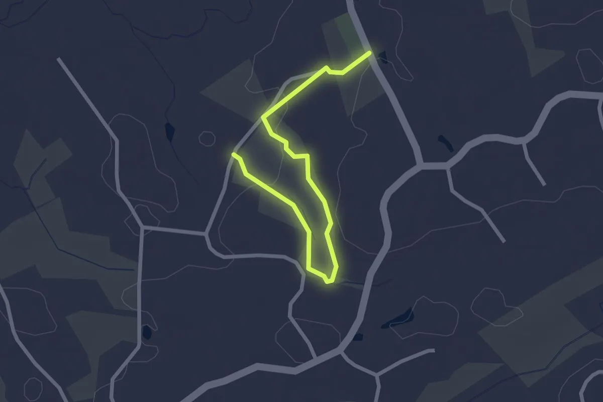
Easy · Trail
Stewart Trail
5.1 km · ↑ 109 m · 1 h 26 min
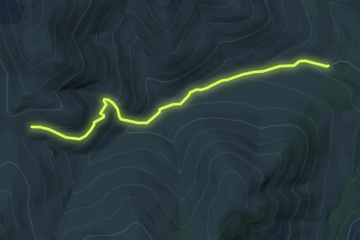
Easy · Trail
St. Francis Woods Trail
2.8 km · ↑ 72 m · 50 min
Medium · Trail
Stickpin Trail
6.3 km · ↑ 428 m · 2 h 25 min
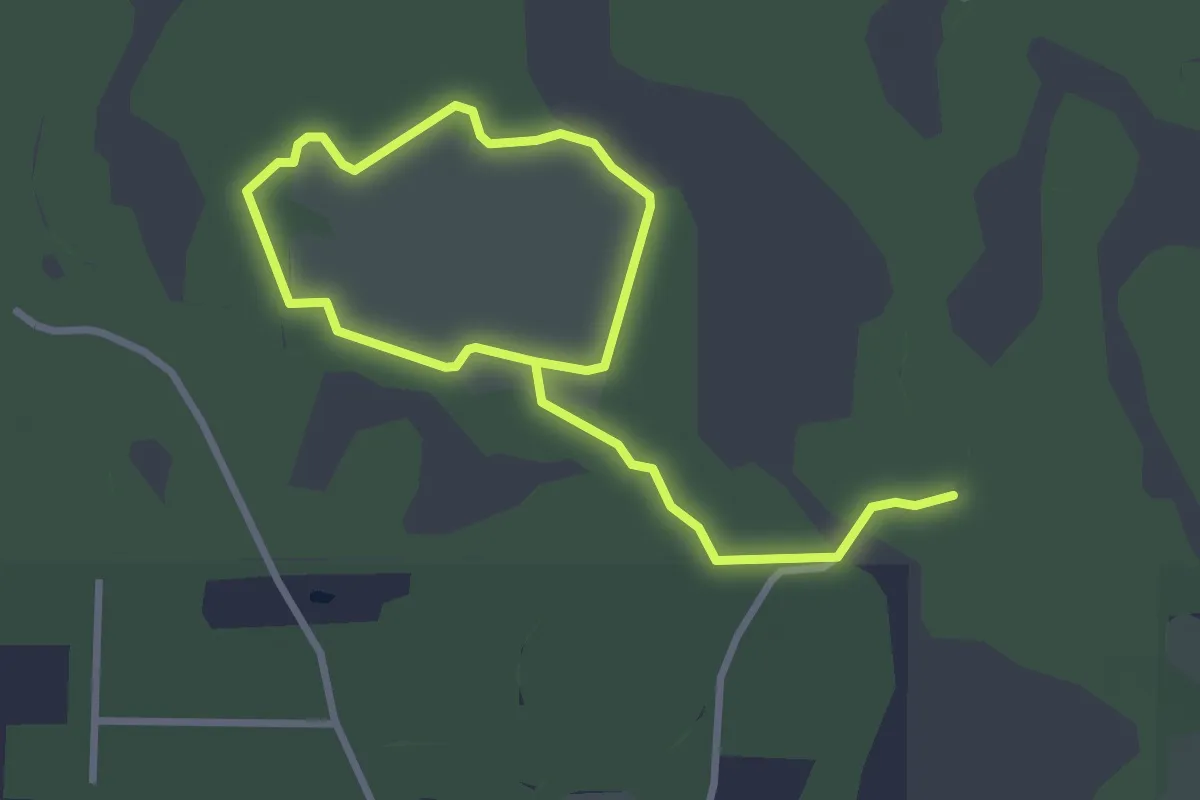
Easy · Trail
Still Branch Crossing
5.6 km · ↑ 0 m · 1 h 19 min
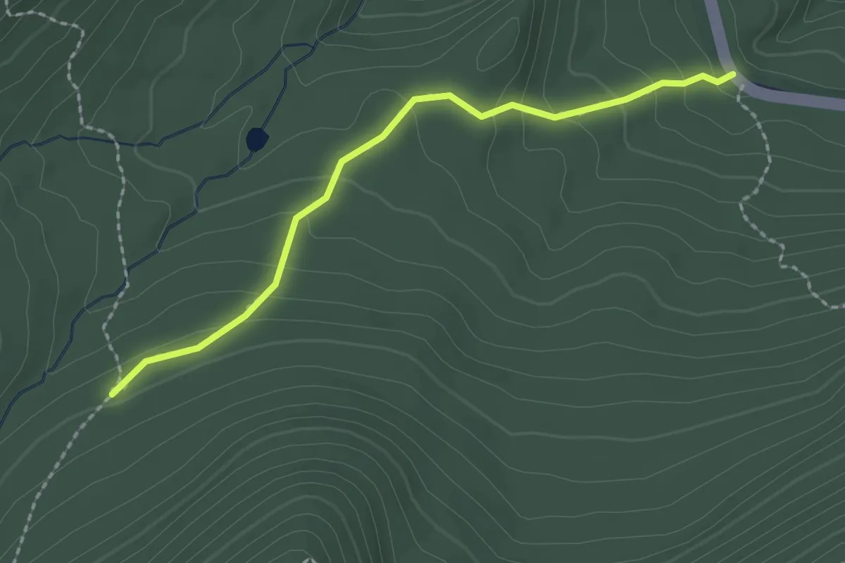
Easy · Trail
Stillman Spring Trail
2.2 km · ↑ 133 m · 49 min
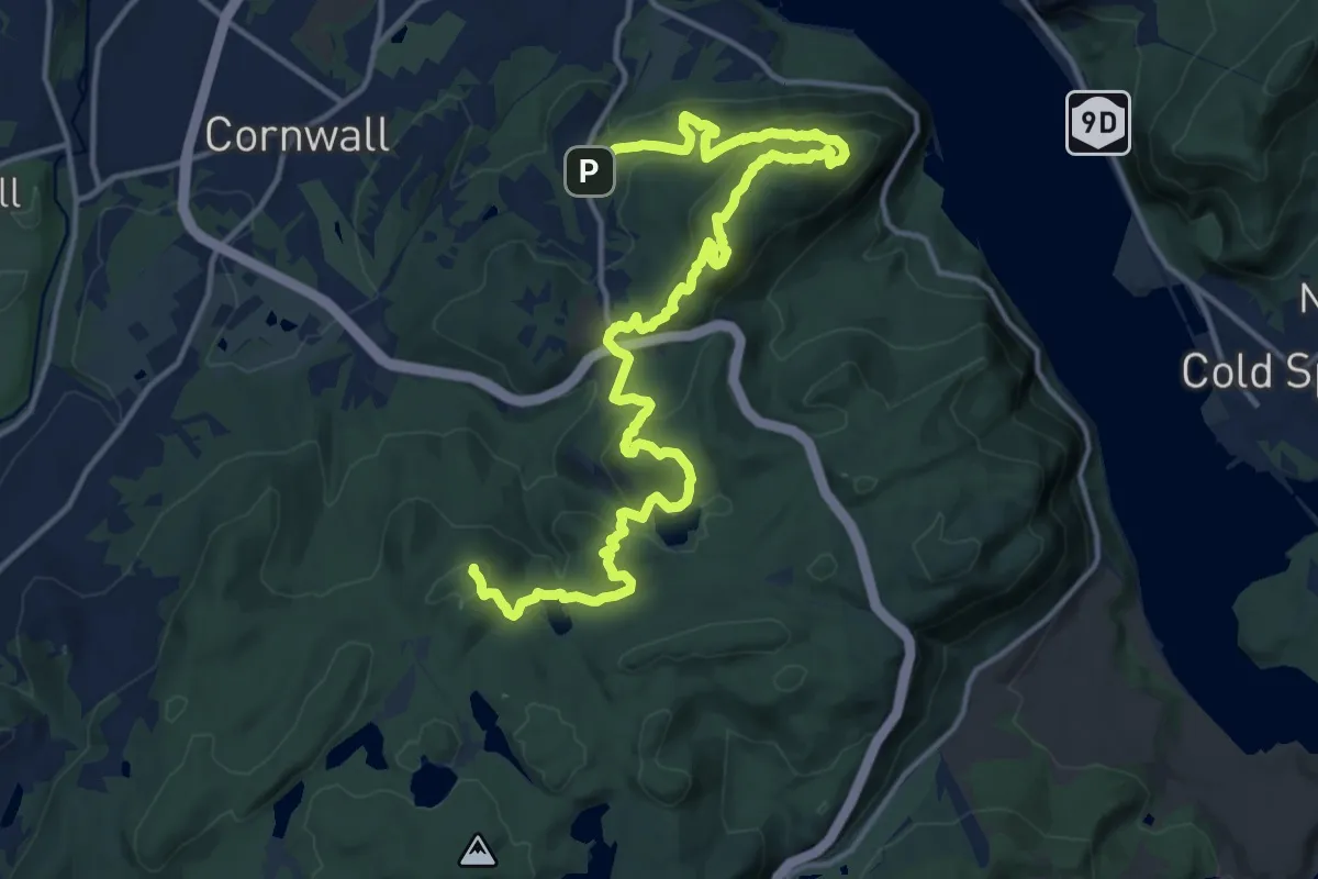
Demanding · Summit
Stillman Trail
20.6 km · ↑ 1189 m · 7 h 26 min
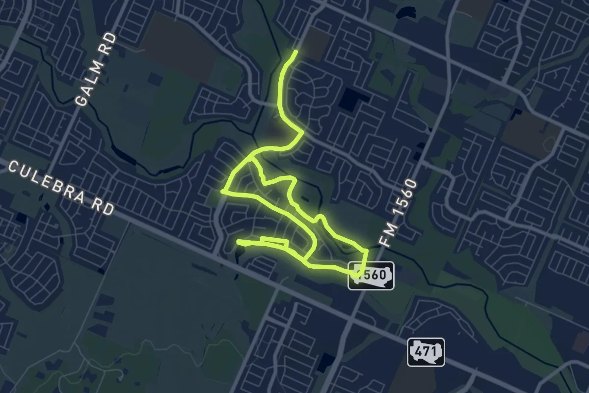
Medium · Trail
Stillwater Nature Trail
14.9 km · ↑ 39 m · 3 h 36 min
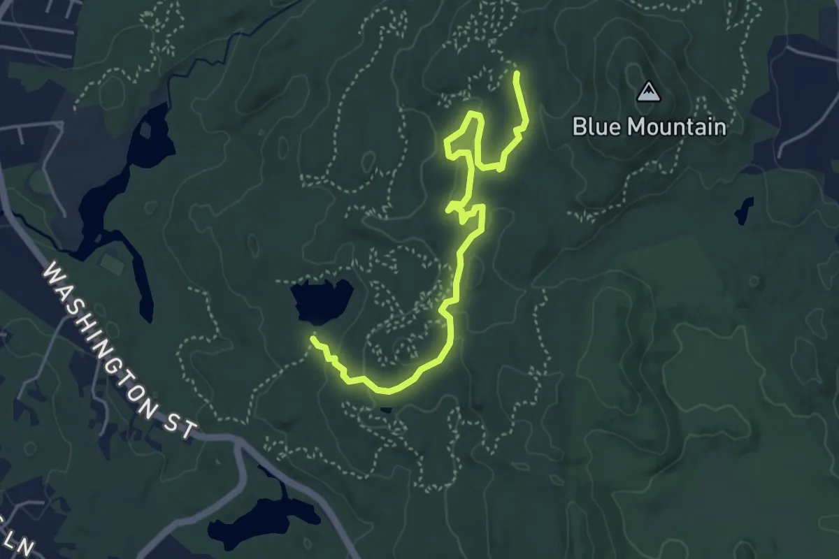
Easy · Trail
Stinger
5.1 km · ↑ 107 m · 1 h 26 min
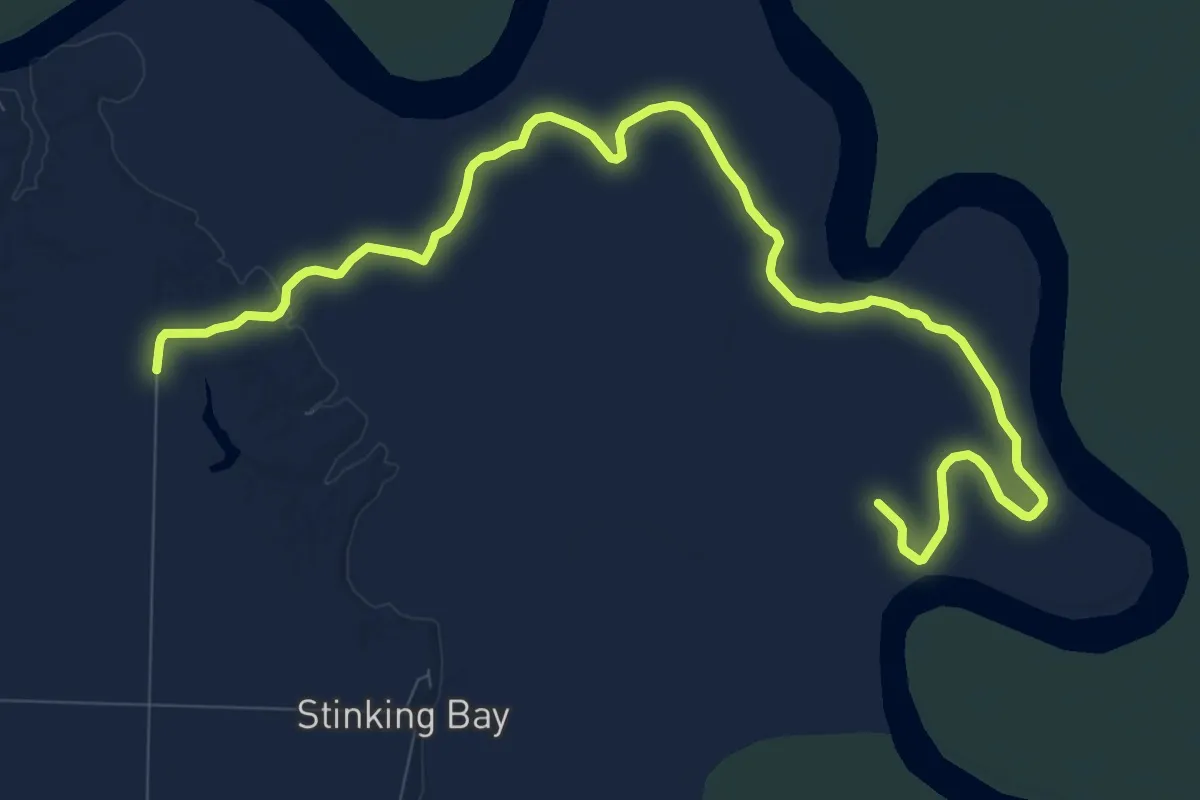
Medium · Trail
Stinking Bay Island Walking Trail
15.8 km · ↑ 13 m · 3 h 46 min
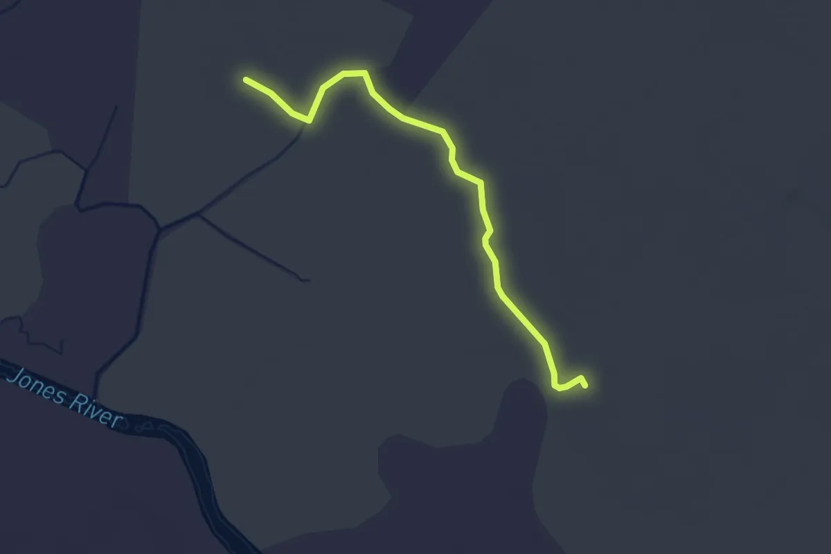
Easy · Trail
St. Jones Reserve Trail
3.3 km · ↑ 0 m · 47 min
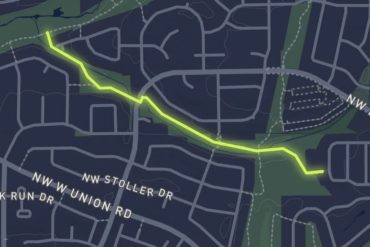
Easy · Trail
Stoller Creek Greenway
2.2 km · ↑ 18 m · 33 min
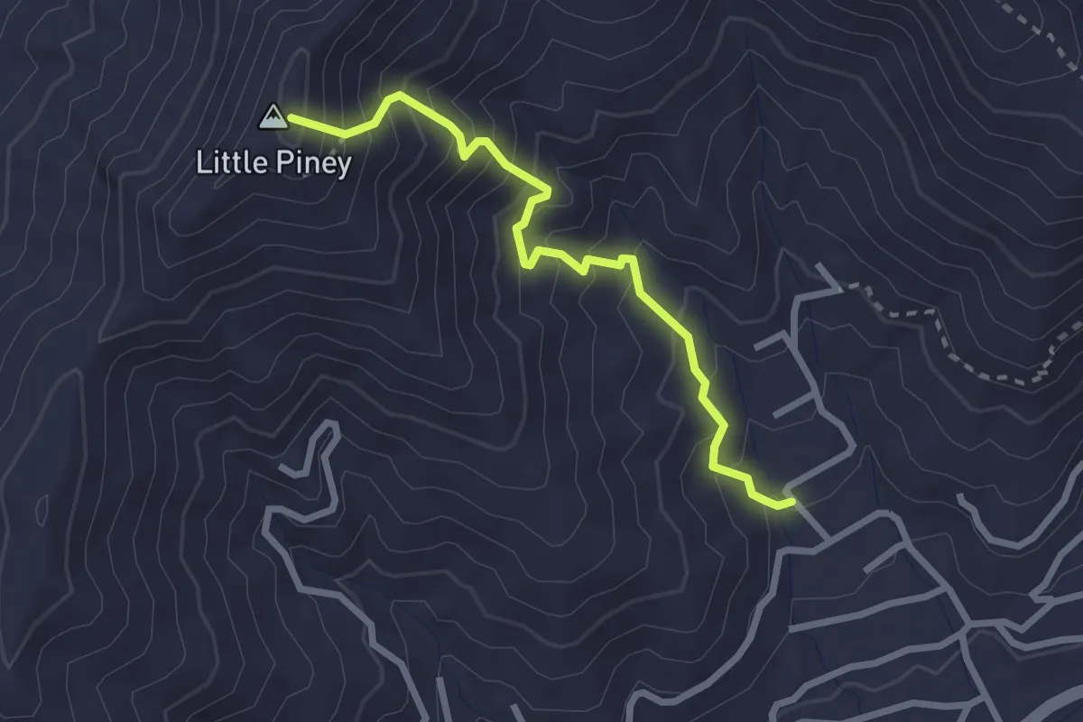
Demanding · Summit
Stomping Knob Trail
2.9 km · ↑ 363 m · 1 h 28 min
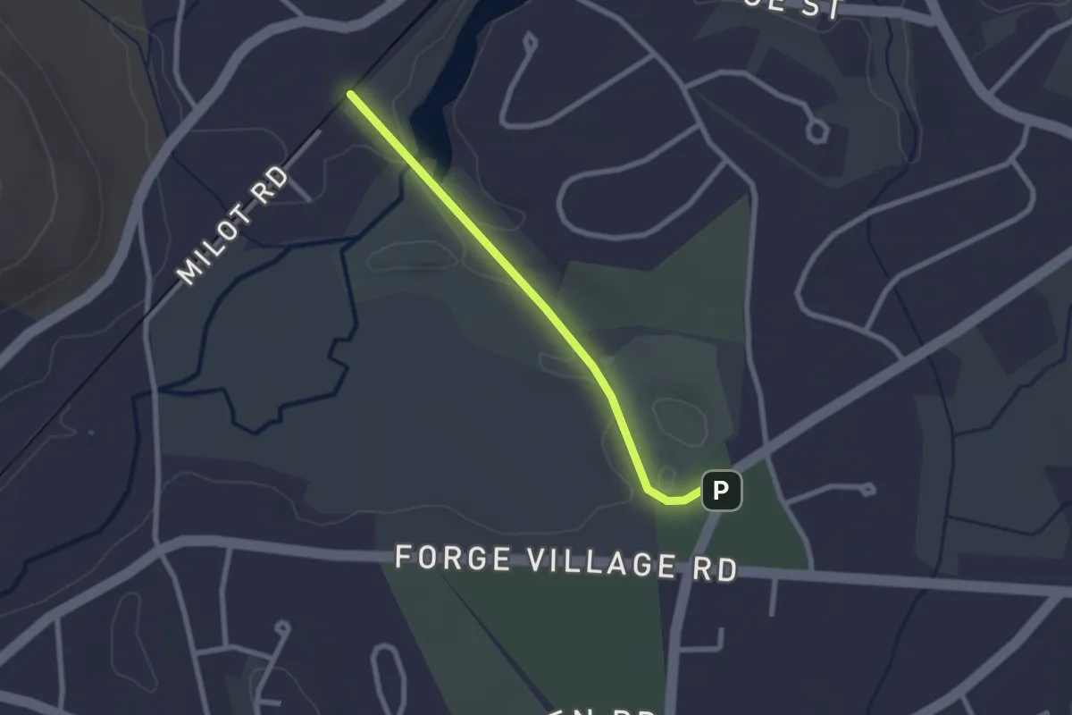
Easy · Trail
Stone Arch Bridge
2.3 km · ↑ 14 m · 35 min
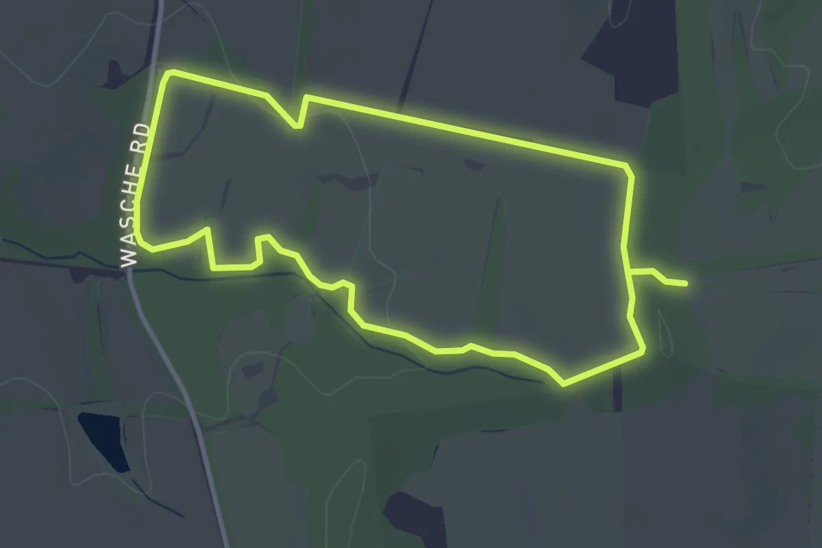
Easy · Trail
Stone Barn Loop
3.5 km · ↑ 27 m · 56 min
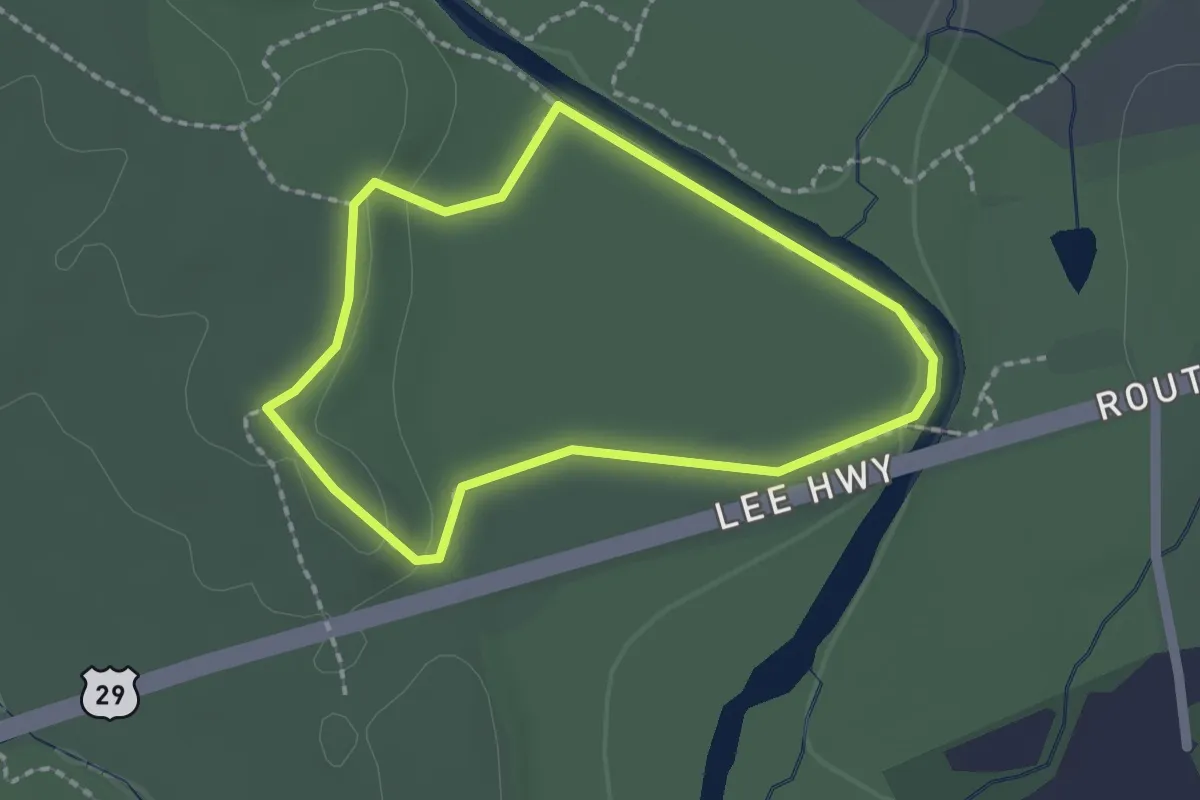
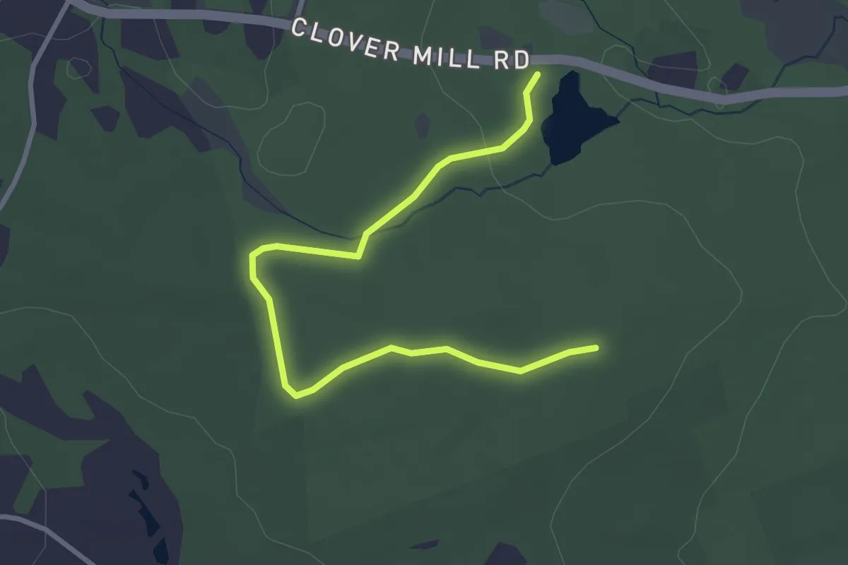
Easy · Trail
Stone Bridge Loop Trail
1.9 km · ↑ 18 m · 31 min
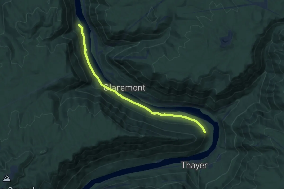
Easy · Trail
Stone Bridge Trail
3.6 km · ↑ 38 m · 55 min
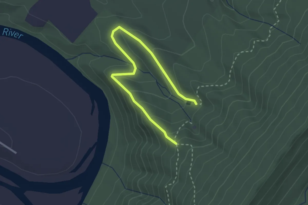
Medium · Trail
Stone Cliff Trail
9.2 km · ↑ 108 m · 2 h 24 min
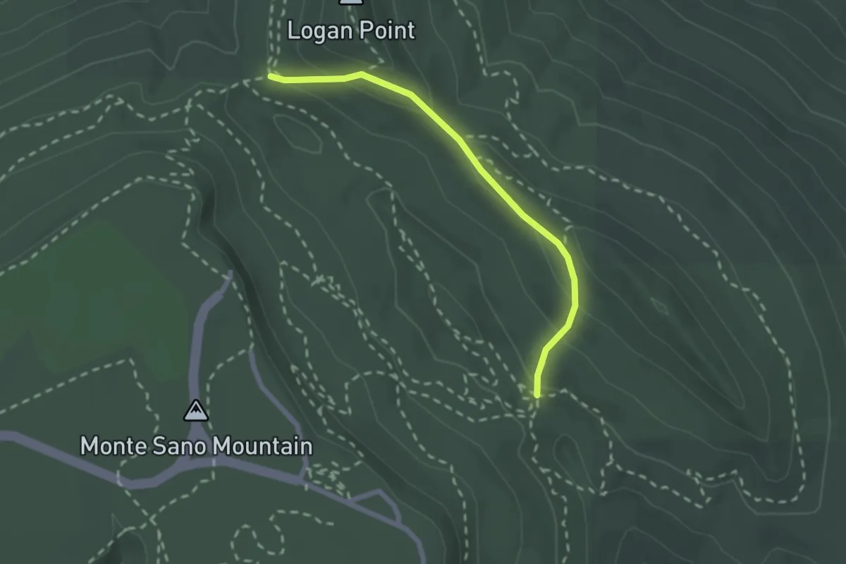
Easy · Trail
Stonecrop Ridge Trail
3.4 km · ↑ 179 m · 1 h 12 min
Medium · Trail
Stone Cuts Trail
2.4 km · ↑ 111 m · 49 min
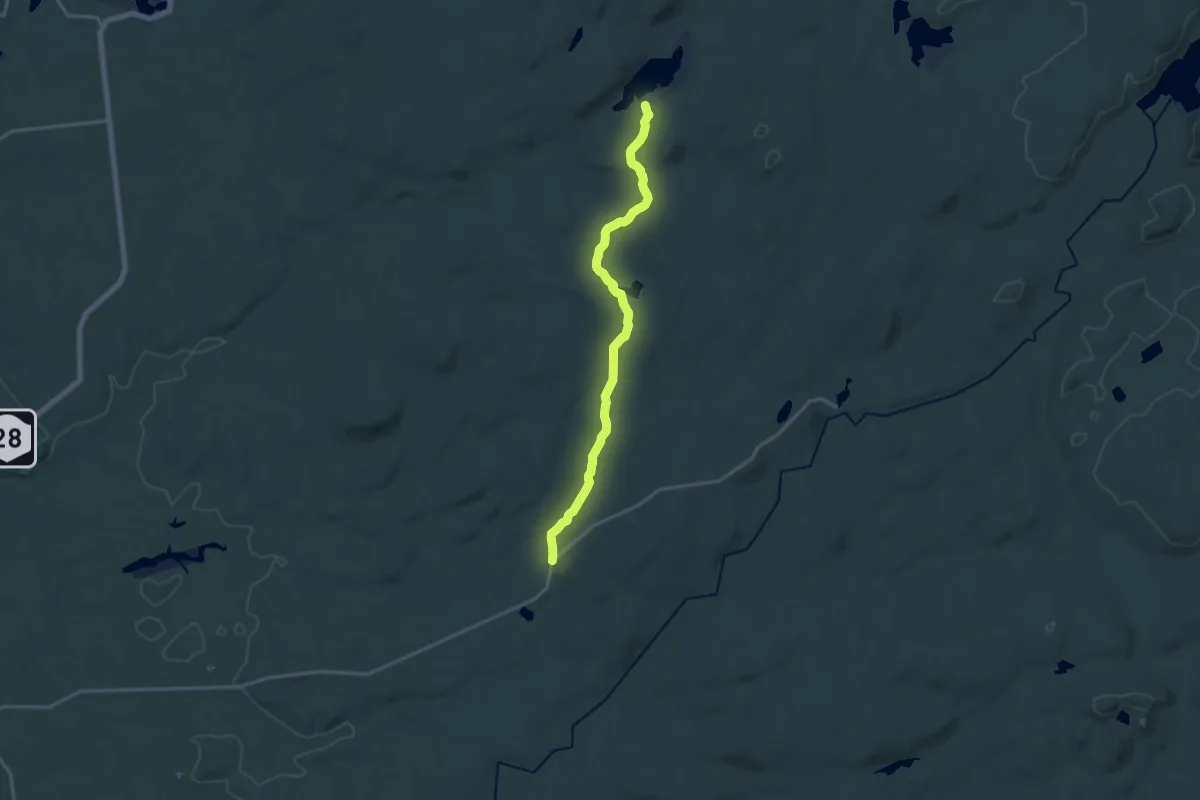
Medium · Trail
Stone Dam Trail
17.3 km · ↑ 244 m · 4 h 37 min
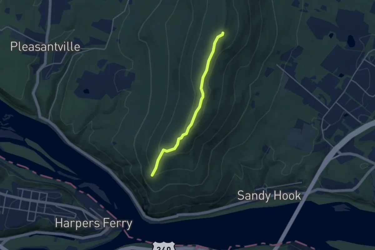
Easy · Summit
Stone Fort Trail
3.5 km · ↑ 154 m · 1 h 10 min
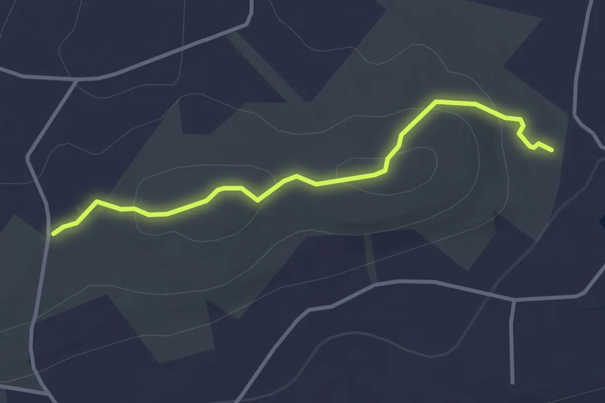
Easy · Trail
Stone Hill Trail - Yellow
3.3 km · ↑ 78 m · 57 min
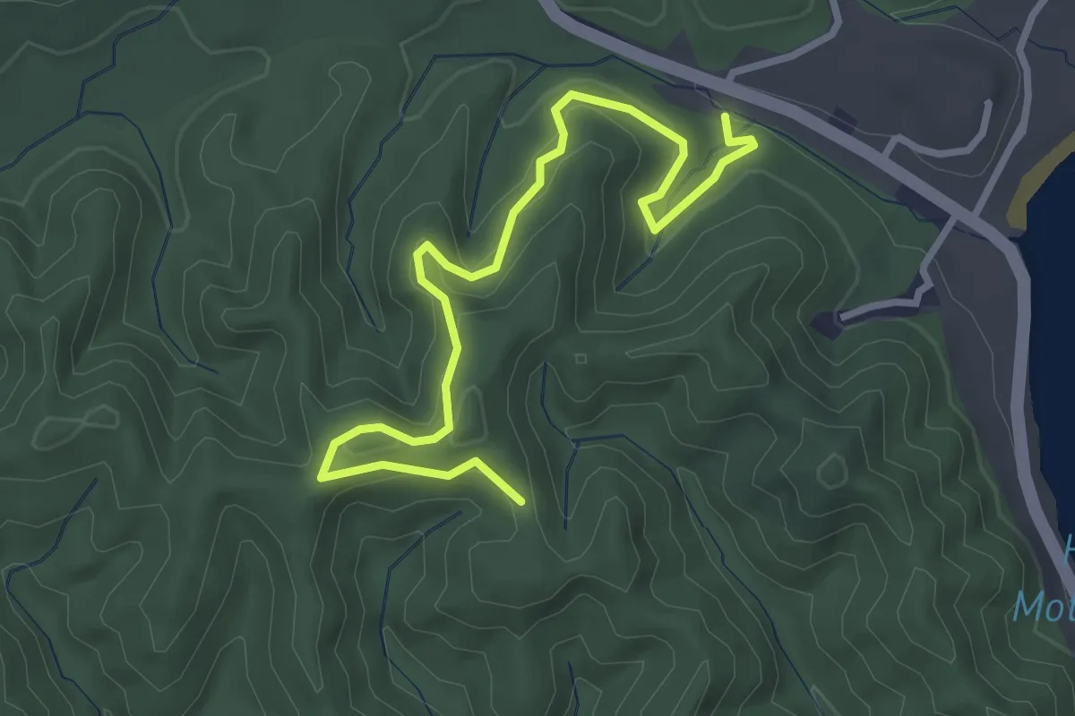
Easy · Trail
Stone Lick Trail
3.9 km · ↑ 147 m · 1 h 14 min
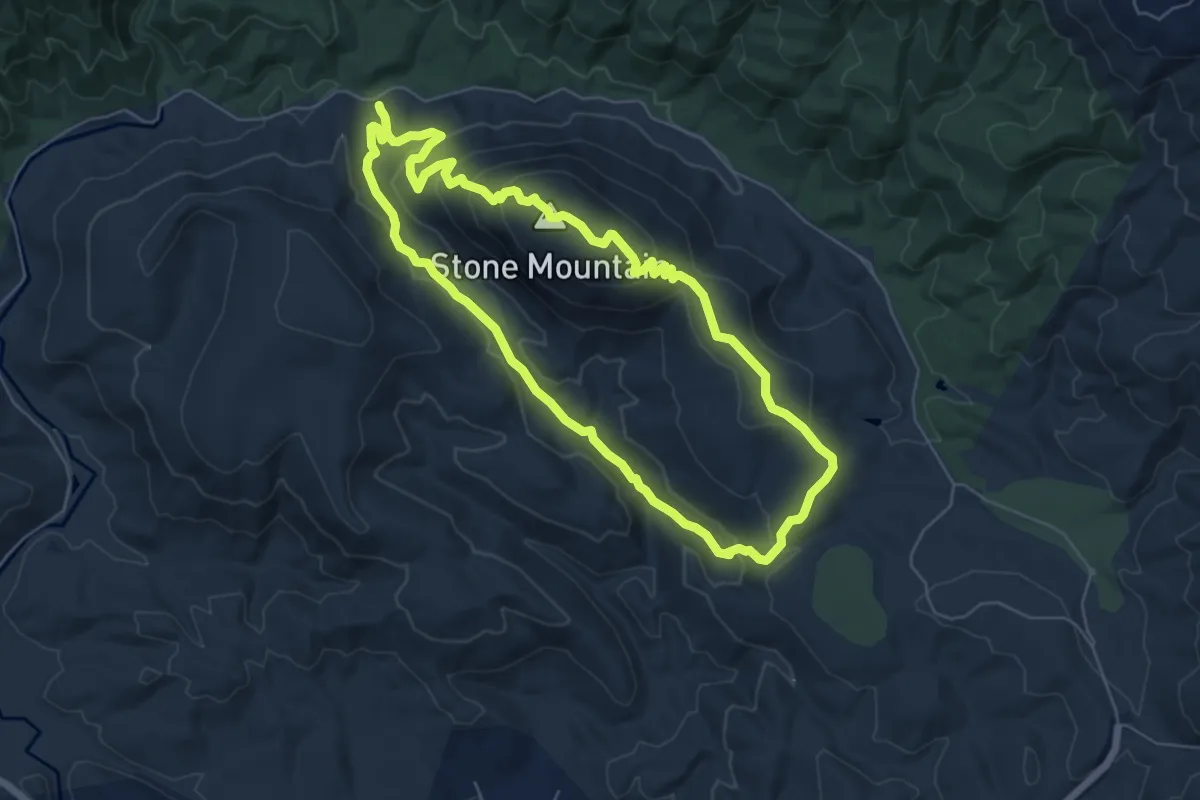
Demanding · Summit
Stone Mountain Loop Trail
6.8 km · ↑ 278 m · 2 h 19 min
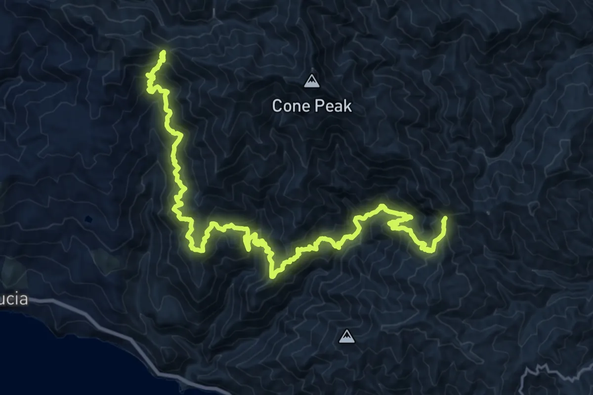
Demanding · Trail
Stone Ridge Trail
14.1 km · ↑ 1016 m · 5 h 47 min
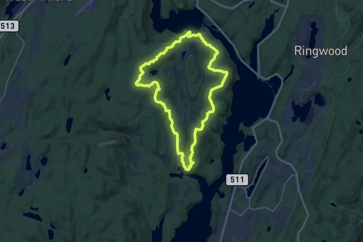
Medium · Summit
Stonetown Circular Trail
16.1 km · ↑ 791 m · 5 h 44 min
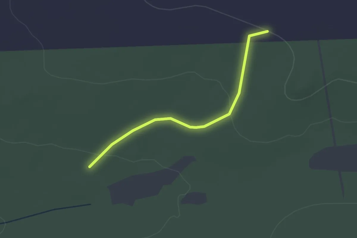
Easy · Trail
Stone Trail
3.1 km · ↑ 42 m · 49 min