Trails in United States
10,367 hiking trails, each with its route, climb, walking time and grade.
All trails, page 183 of 216
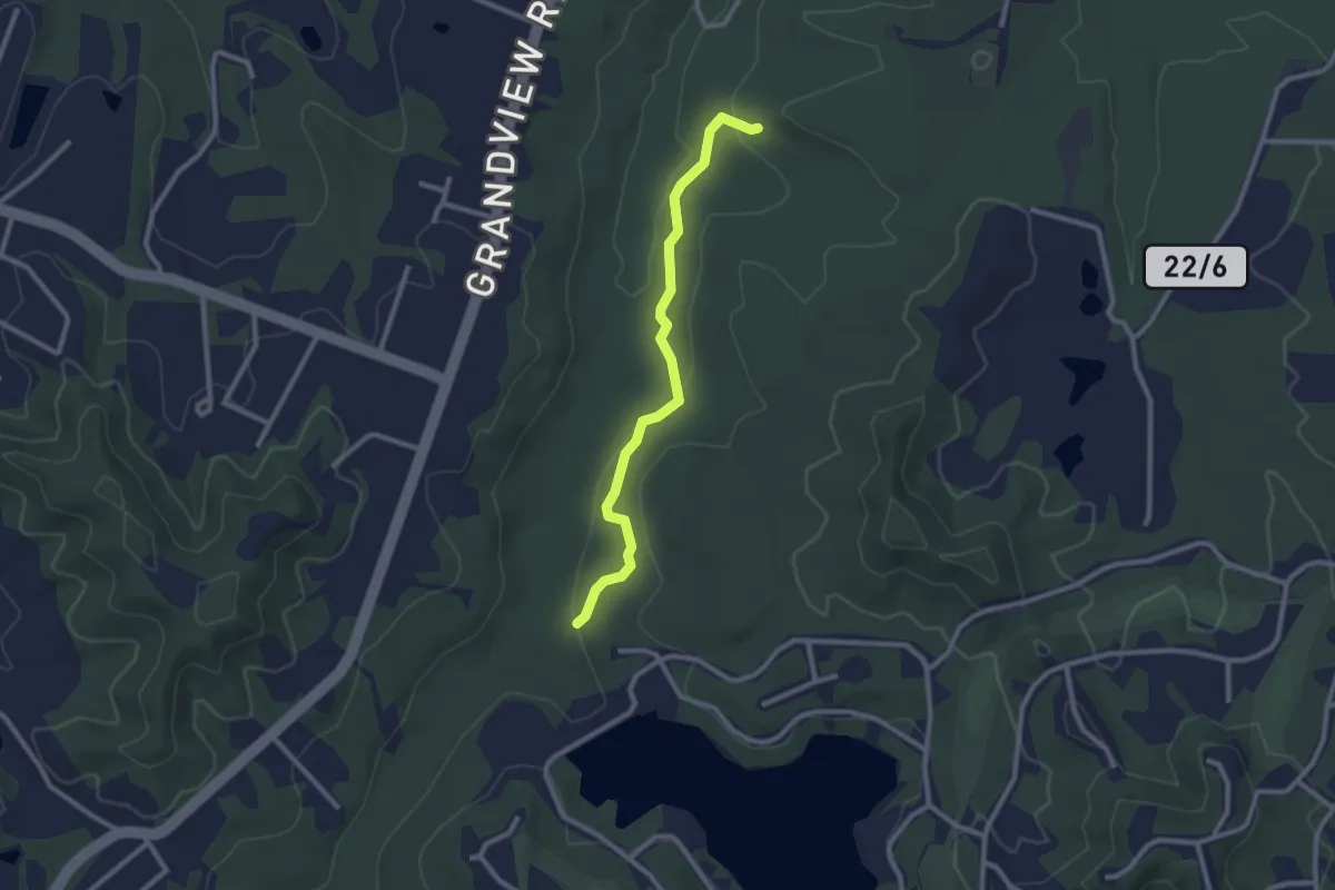
Easy · Trail
Stone Trough Trail
2.8 km · ↑ 63 m · 48 min
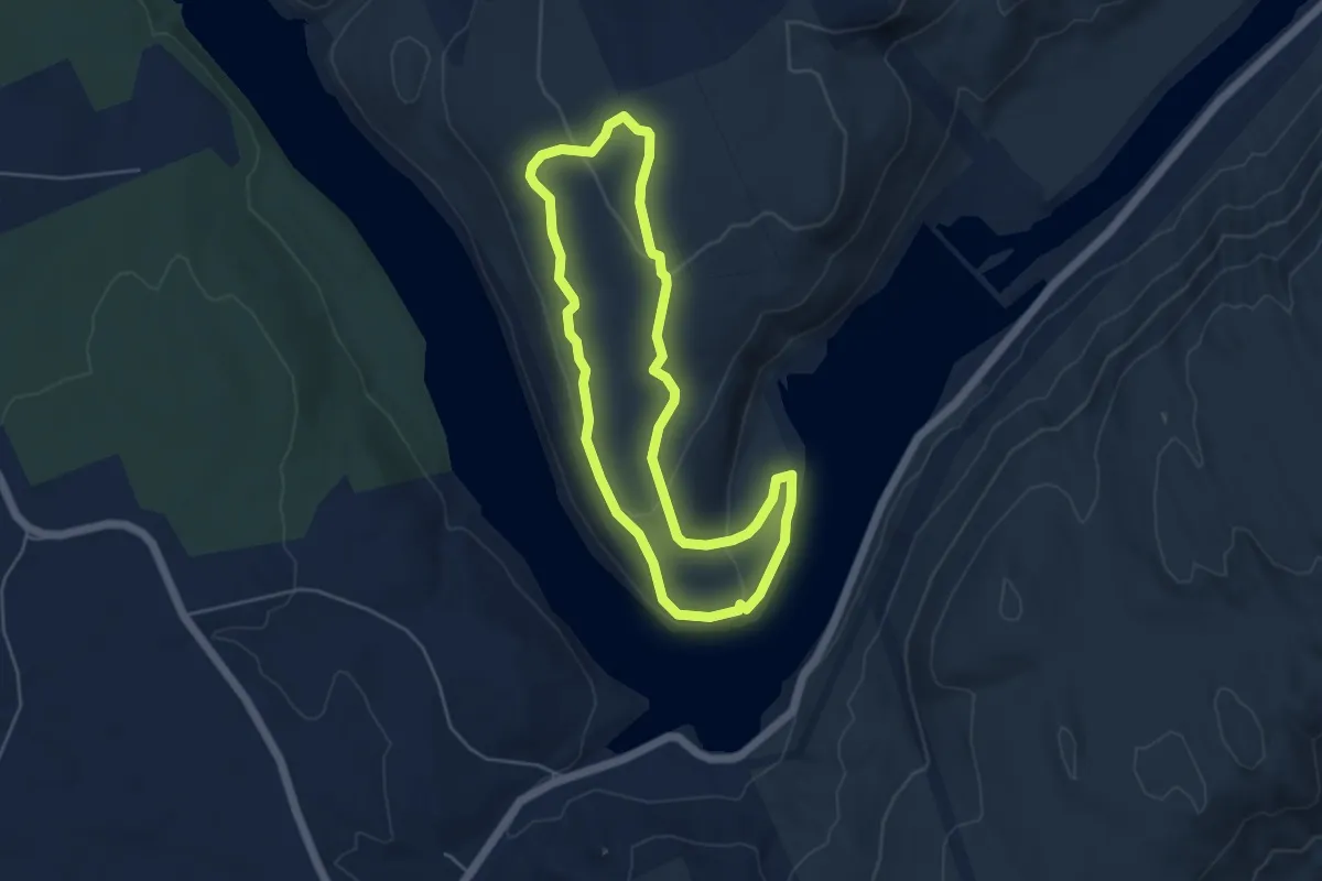
Easy · Trail
Stonewall Trail
4.9 km · ↑ 124 m · 1 h 30 min
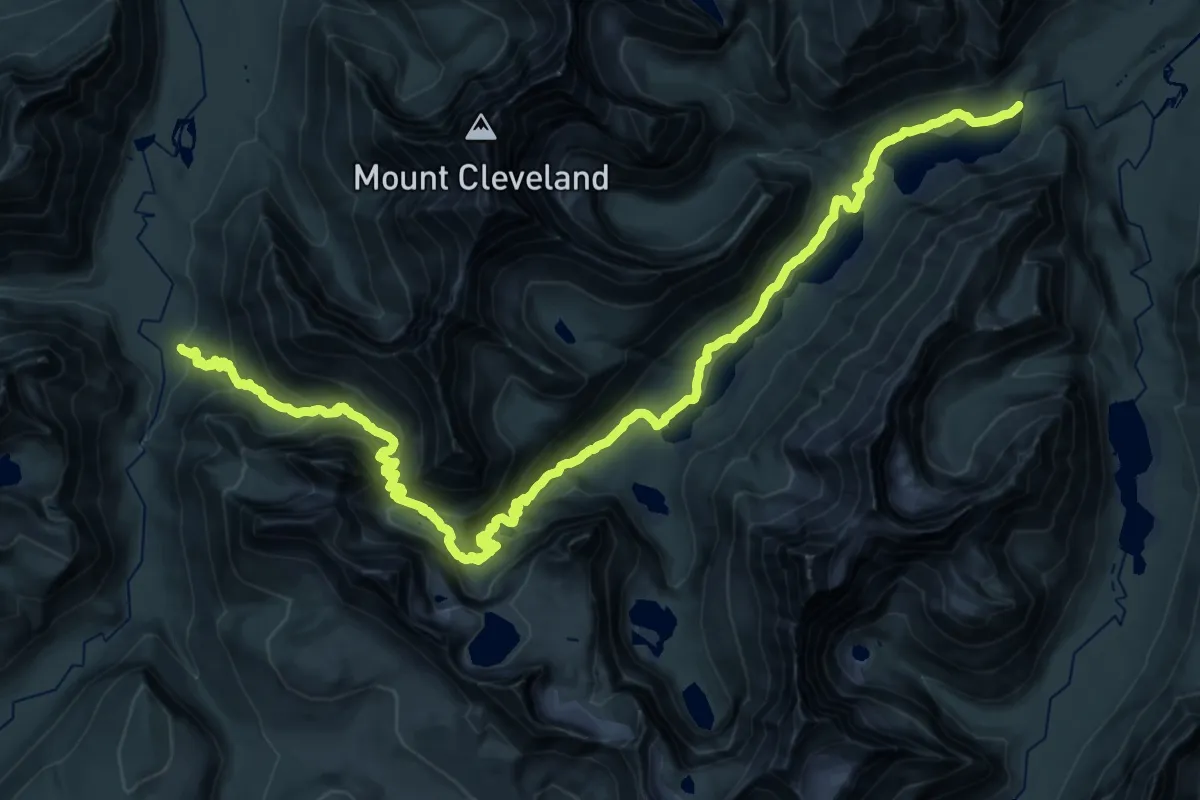
Demanding · Trail
Stoney Indian Pass Trail
20.9 km · ↑ 816 m · 6 h 57 min
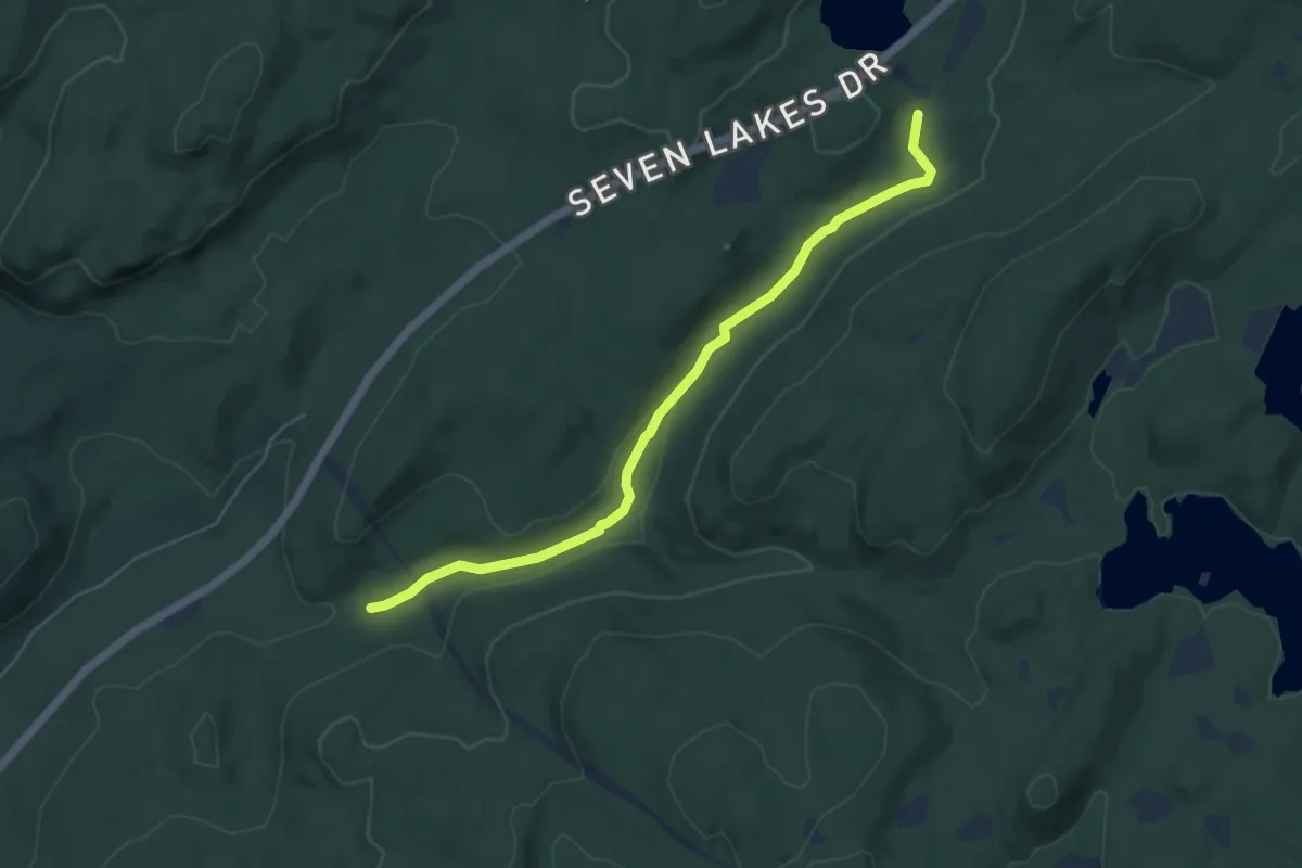
Easy · Trail
Stony Brook
5.8 km · ↑ 77 m · 1 h 32 min
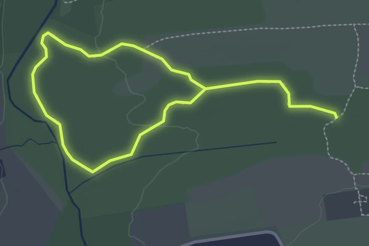
Easy · Trail
Stony Brook Trail
4.3 km · ↑ 4 m · 1 h 1 min
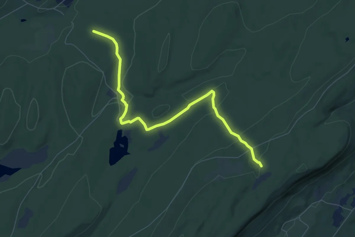
Medium · Trail
Stony Brook Trail
8.3 km · ↑ 191 m · 2 h 22 min
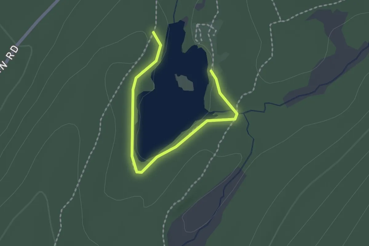
Easy · Trail
Stony Lake Trail
2.2 km · ↑ 4 m · 31 min
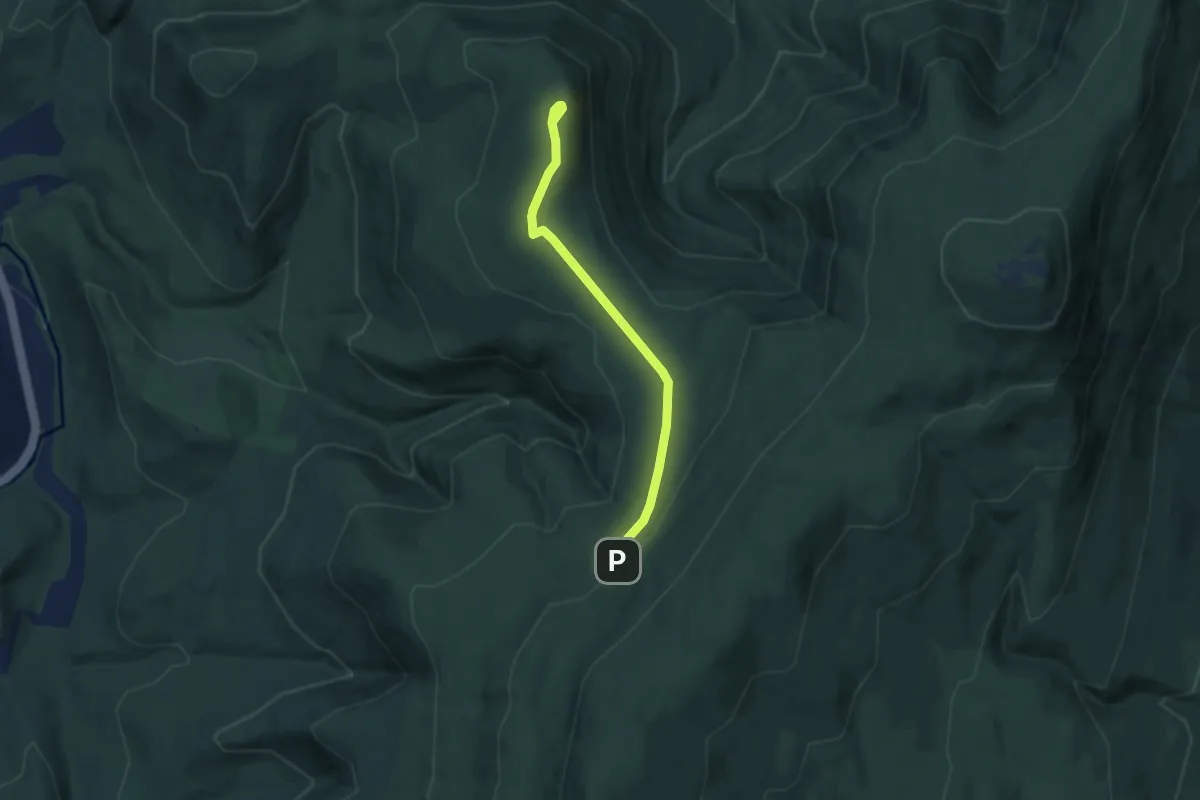
Easy · Summit
Stony Ledge
2.7 km · ↑ 63 m · 50 min
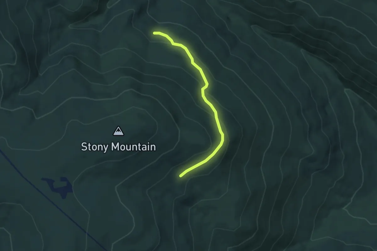
Easy · Trail
Stony Mountain Trail
3.5 km · ↑ 150 m · 1 h 9 min
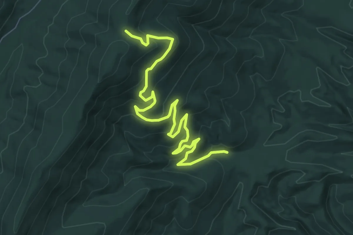
Medium · Trail
Stony Run Trail
9.4 km · ↑ 458 m · 3 h 13 min
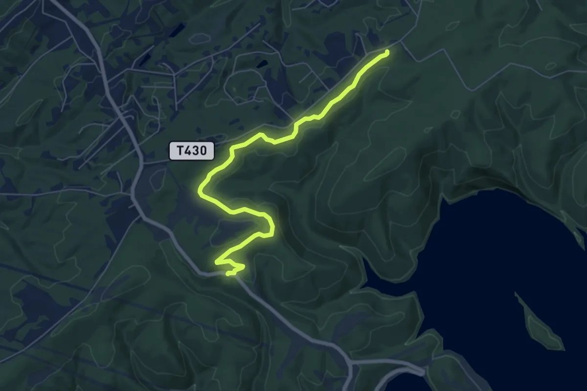
Easy · Trail
Stony Trail
7.4 km · ↑ 122 m · 2 h 1 min
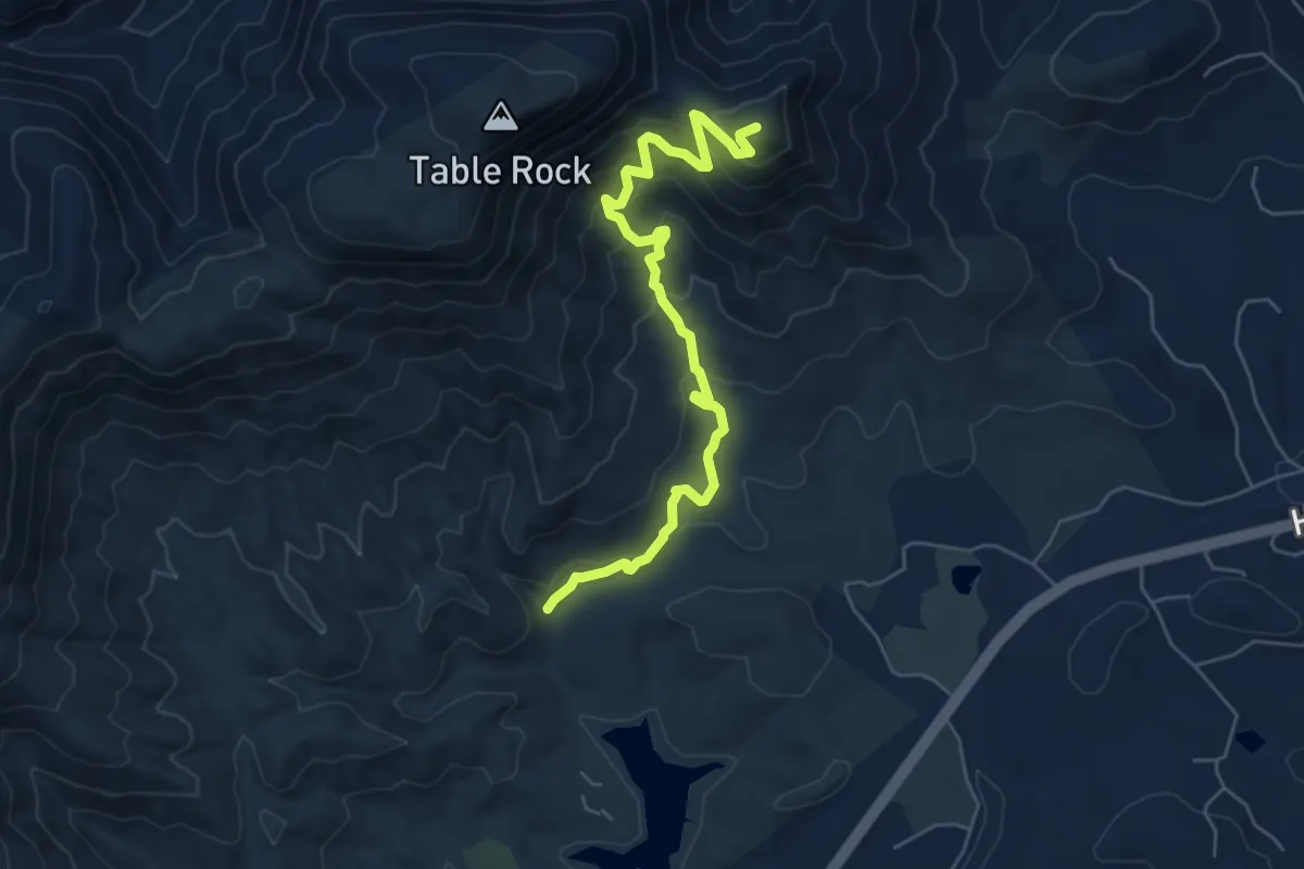
Medium · Summit
Stool Mountain Trail
7.2 km · ↑ 439 m · 2 h 39 min
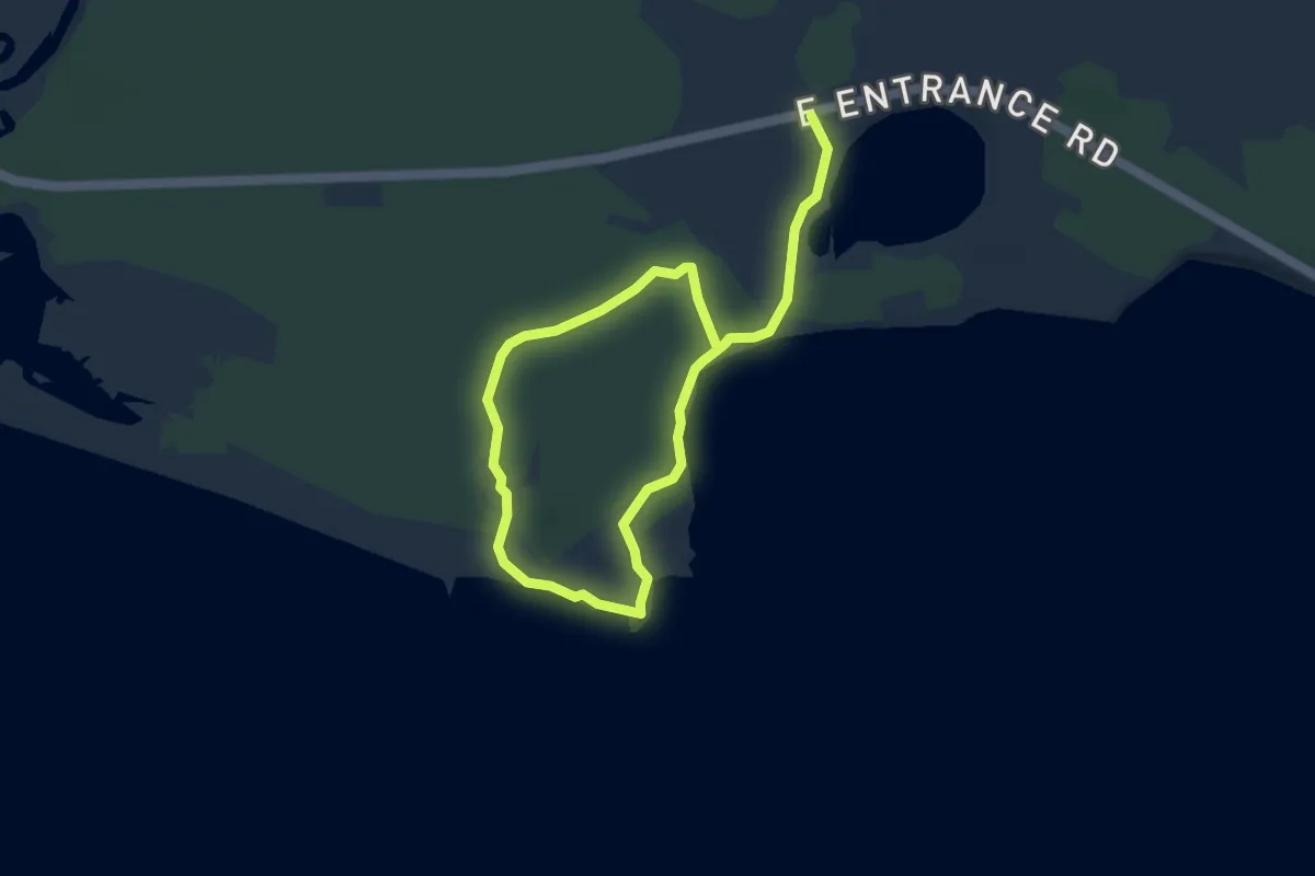
Easy · Trail
Storm Point Trail
6.5 km · ↑ 35 m · 1 h 36 min
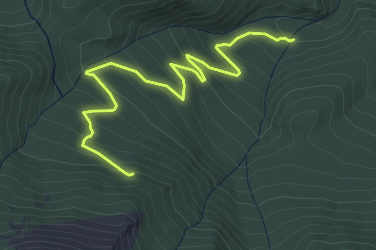
Demanding · Trail
Stormy Peaks B17 Crash Trail
7.2 km · ↑ 309 m · 2 h 23 min
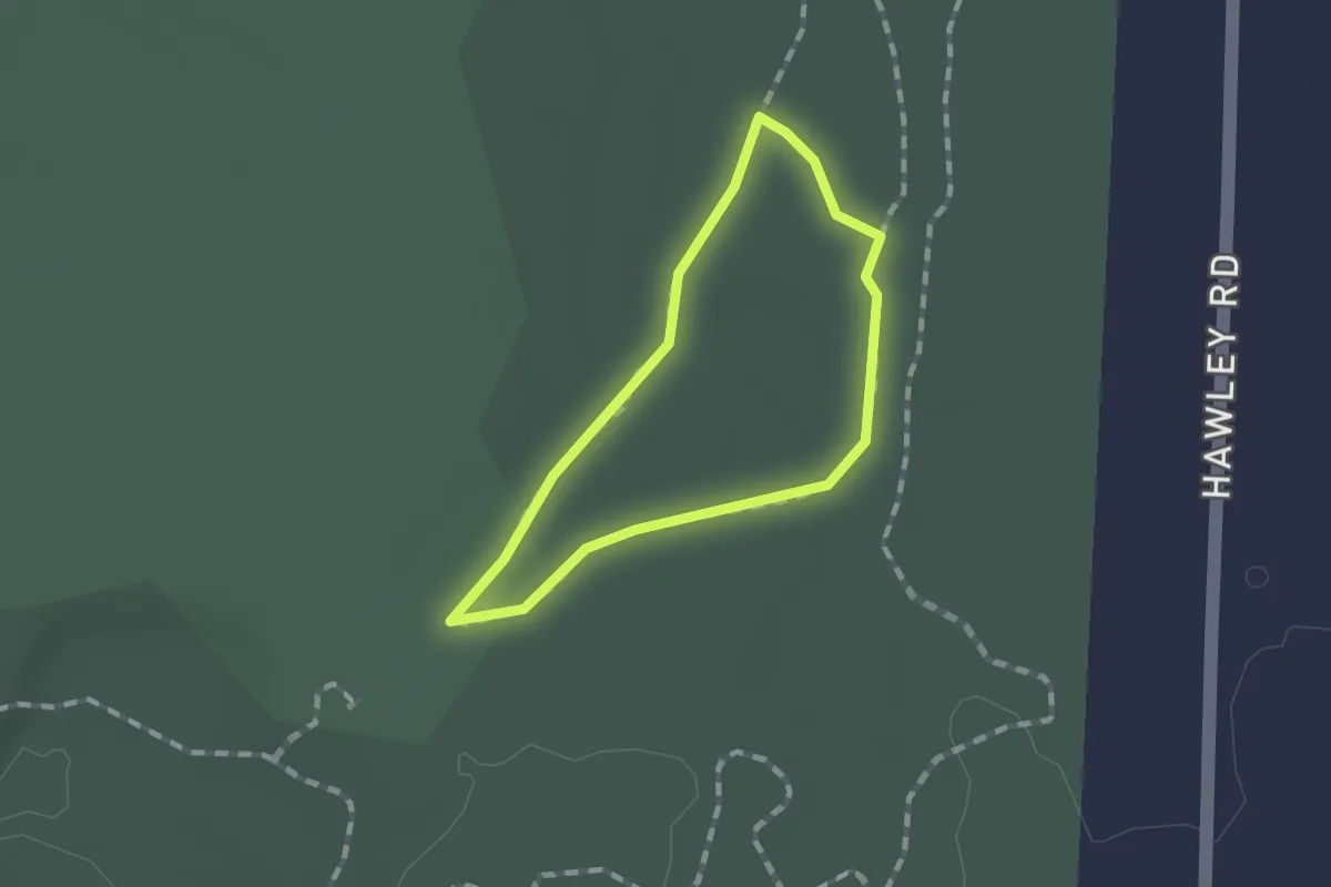
Easy · Trail
Storybook Trail
1.0 km · ↑ 0 m · 16 min
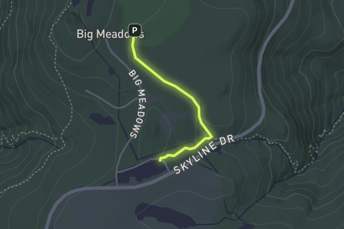
Medium · Trail
Story of the Forest Trail
2.8 km · ↑ 59 m · 47 min
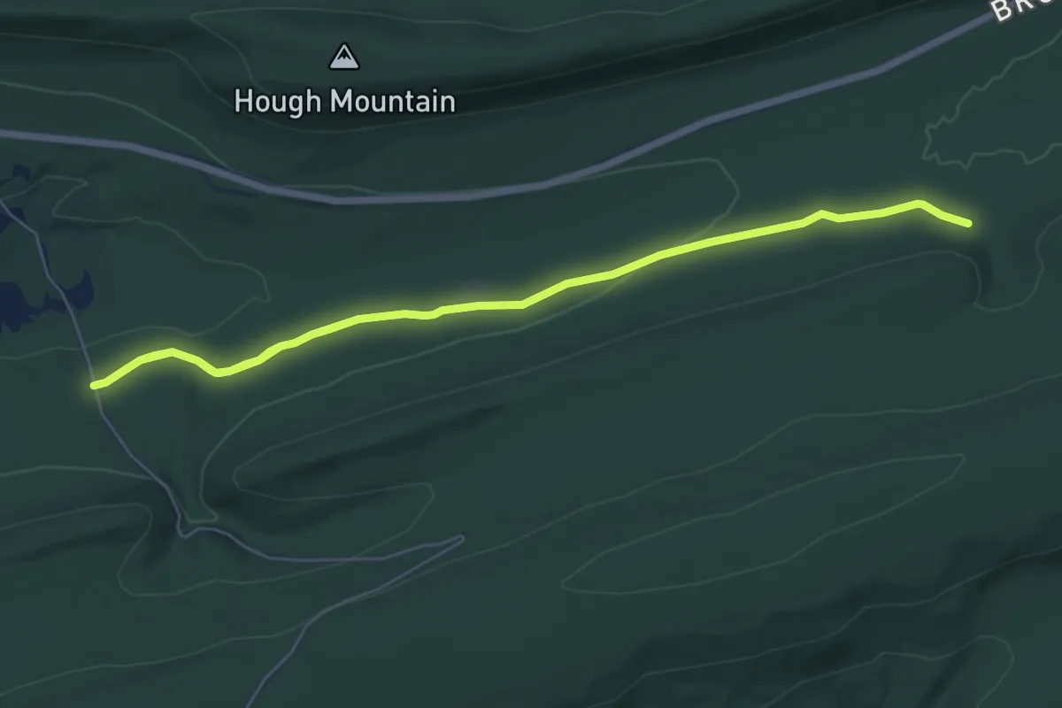
Medium · Trail
Stover Gap East Trail
9.3 km · ↑ 72 m · 2 h 21 min
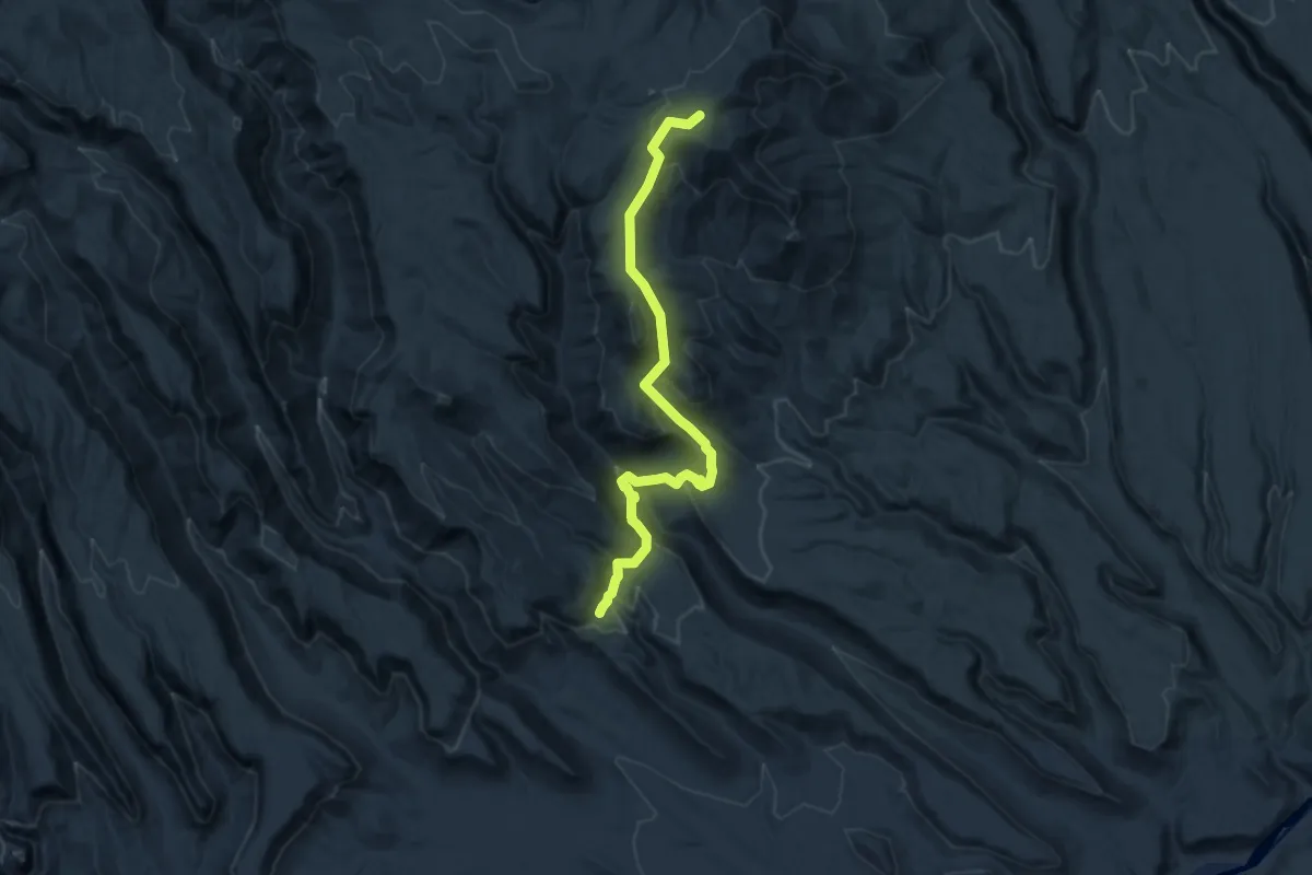
Demanding · Trail
St Peter's Dome Trail
16.1 km · ↑ 833 m · 5 h 36 min
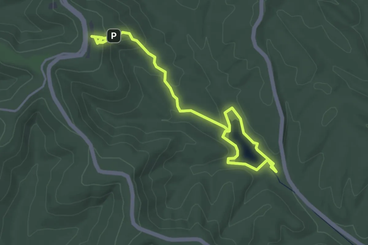
Easy · Trail
Strahl Lake Trail
5.0 km · ↑ 128 m · 1 h 27 min
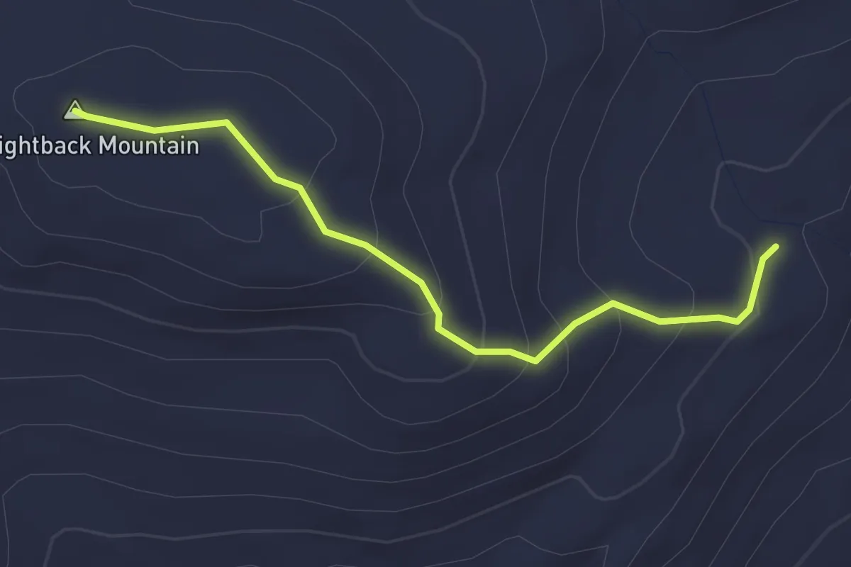
Easy · Summit
Straightback Mountain Trail
2.9 km · ↑ 182 m · 1 h 5 min
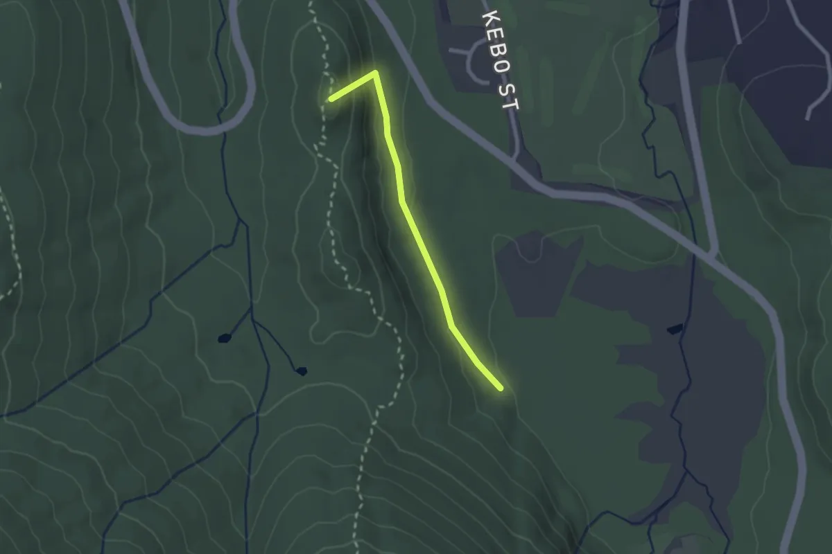
Easy · Summit
Stratheden Path
2.0 km · ↑ 102 m · 42 min
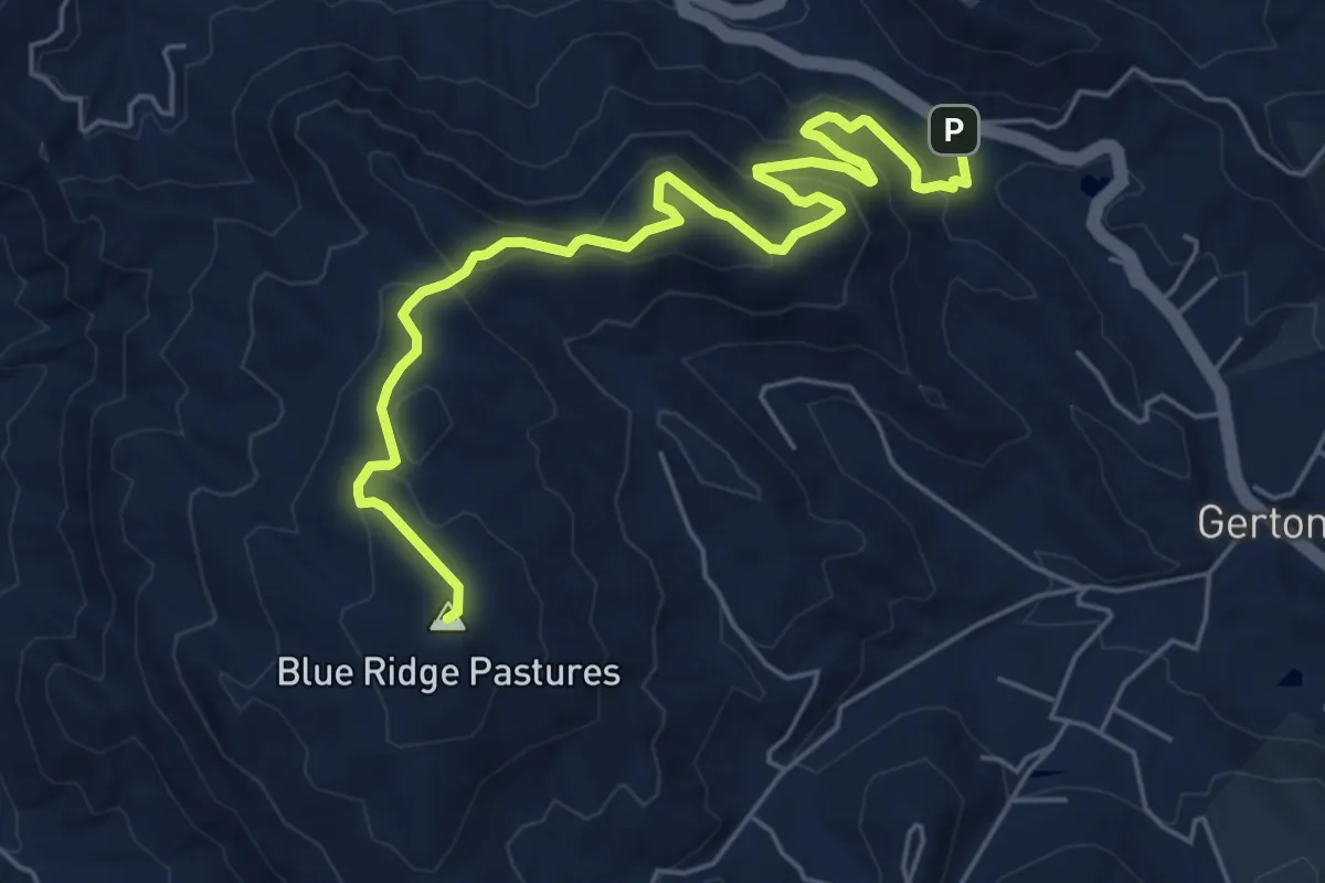
Medium · Summit
Strawberry Gap Trail
7.8 km · ↑ 383 m · 2 h 40 min
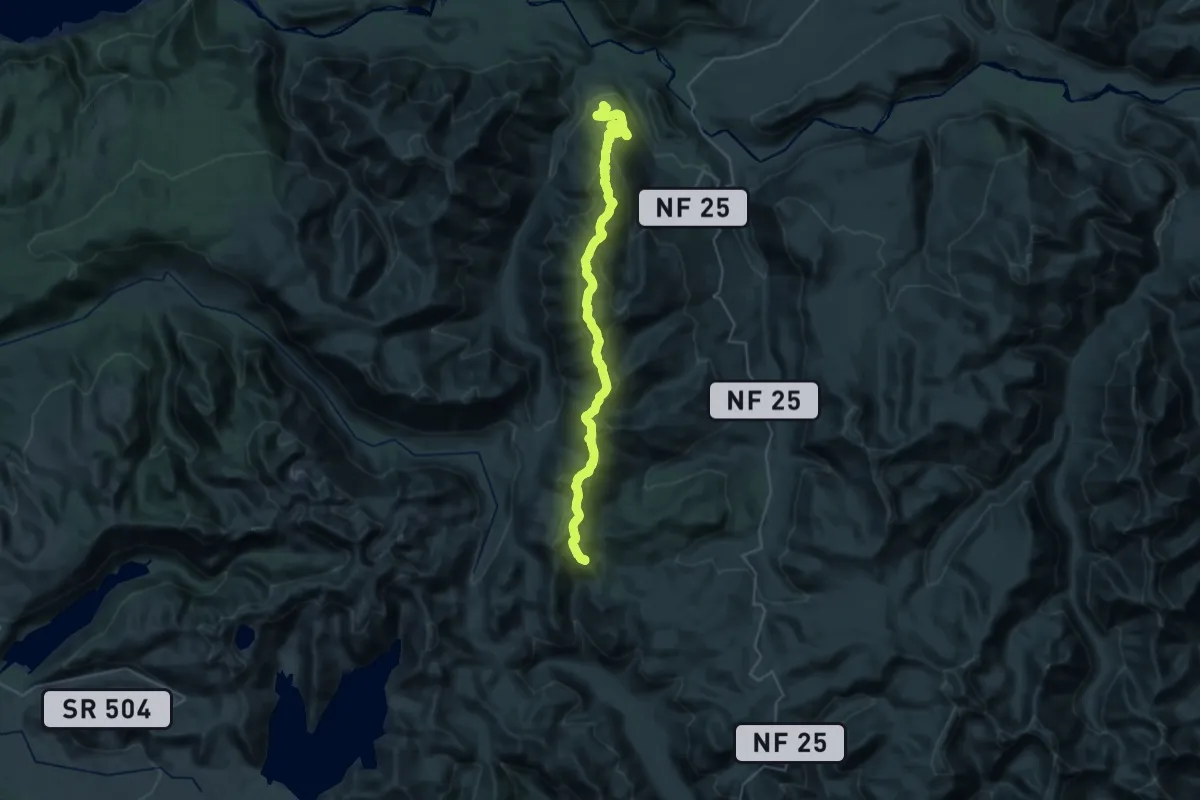
Medium · Trail
Strawberry Mountain Trail
18.0 km · ↑ 697 m · 6 h 24 min
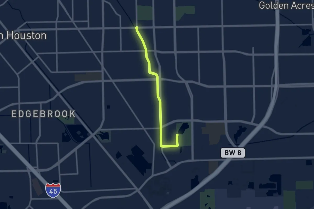
Medium · Trail
Strawberry Trail
9.1 km · ↑ 0 m · 2 h 9 min
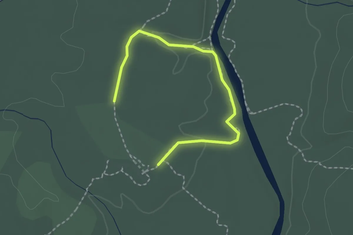
Easy · Trail
Stream Loop Trail
2.2 km · ↑ 22 m · 34 min
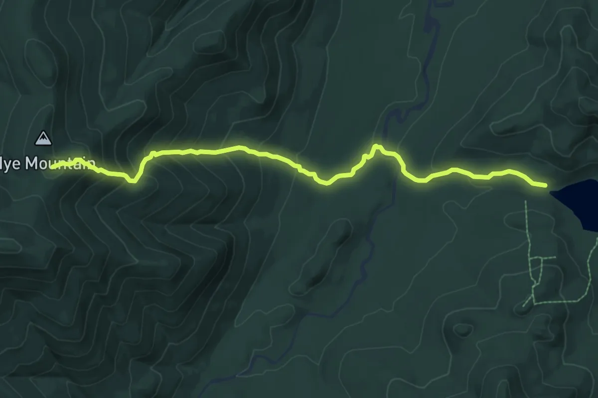
Medium · Summit
Street and Nye Trail
9.4 km · ↑ 641 m · 3 h 37 min
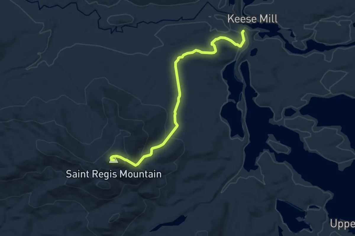
Medium · Summit
St. Regis Mountain Trail
9.9 km · ↑ 492 m · 3 h 24 min
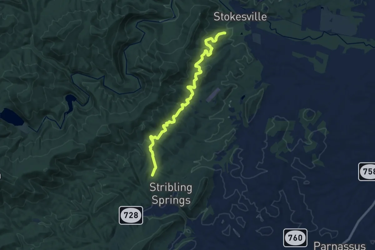
Medium · Trail
Stribling Springs Trail
14.1 km · ↑ 299 m · 3 h 58 min
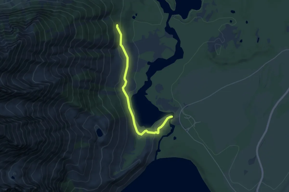
Easy · Trail
String Lake Trail
5.0 km · ↑ 101 m · 1 h 24 min
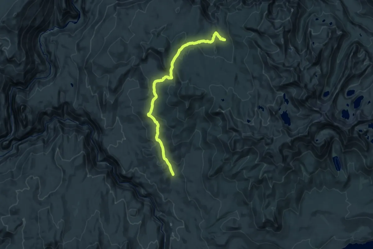
Medium · Trail
String Meadow Trail
13.9 km · ↑ 590 m · 4 h 33 min
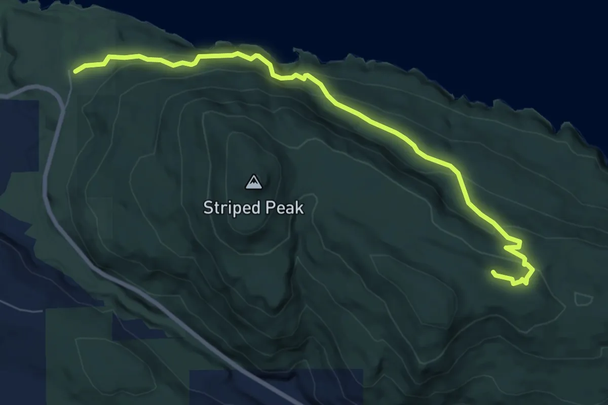
Medium · Trail
Striped Peak Trail
7.5 km · ↑ 367 m · 2 h 34 min
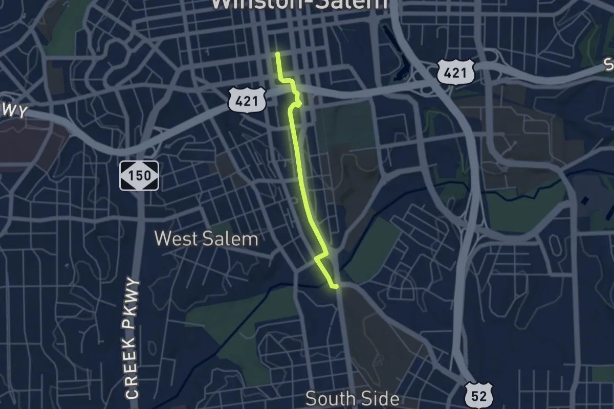
Easy · Trail
Strollway
4.2 km · ↑ 44 m · 1 h 5 min
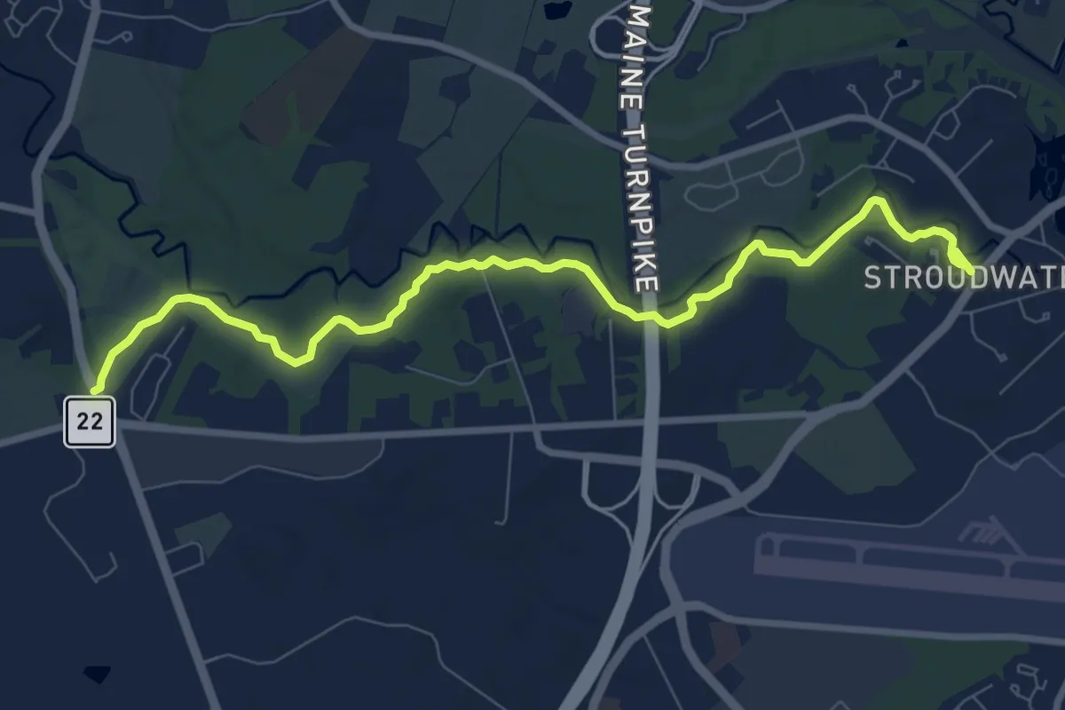
Medium · Trail
Stroudwater Trail
9.6 km · ↑ 95 m · 2 h 28 min
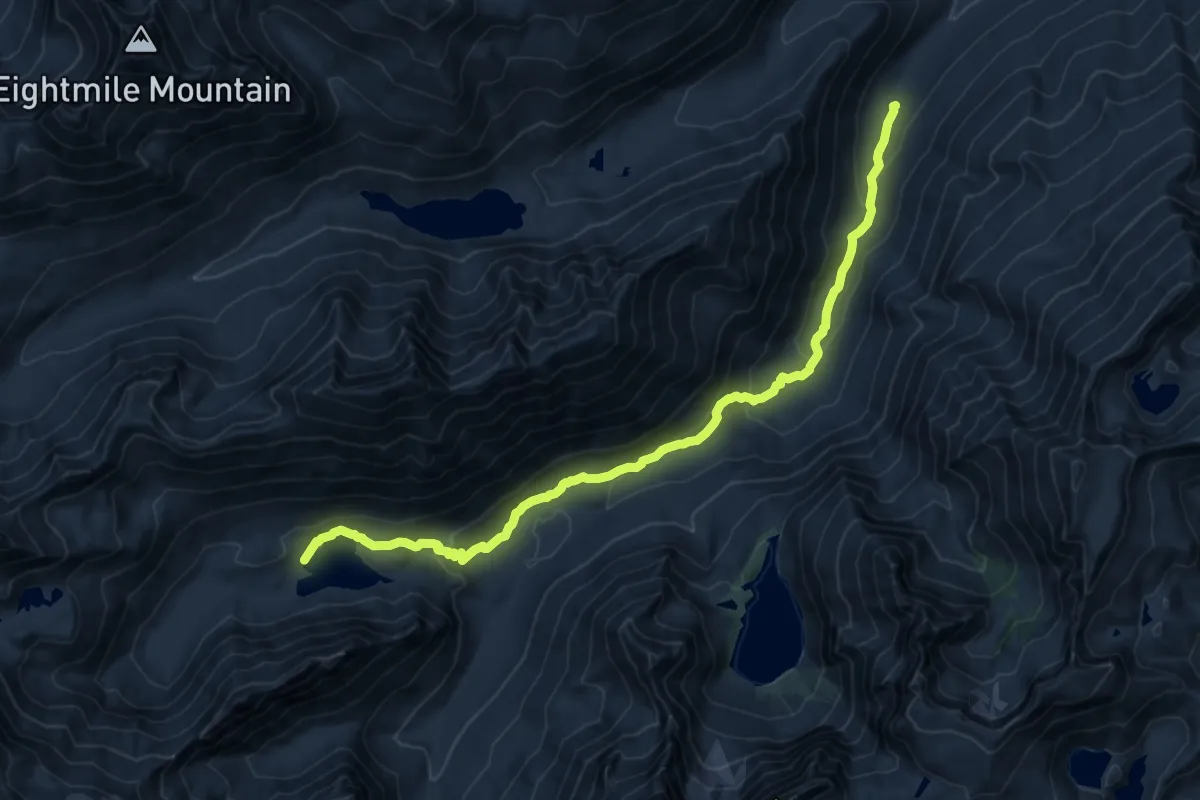
Medium · Trail
Stuart Lake Trail
14.2 km · ↑ 589 m · 4 h 38 min
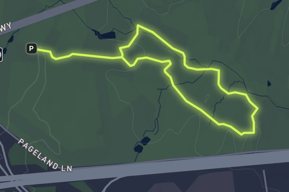
Easy · Trail
Stuart's Hill Loop
6.3 km · ↑ 41 m · 1 h 34 min
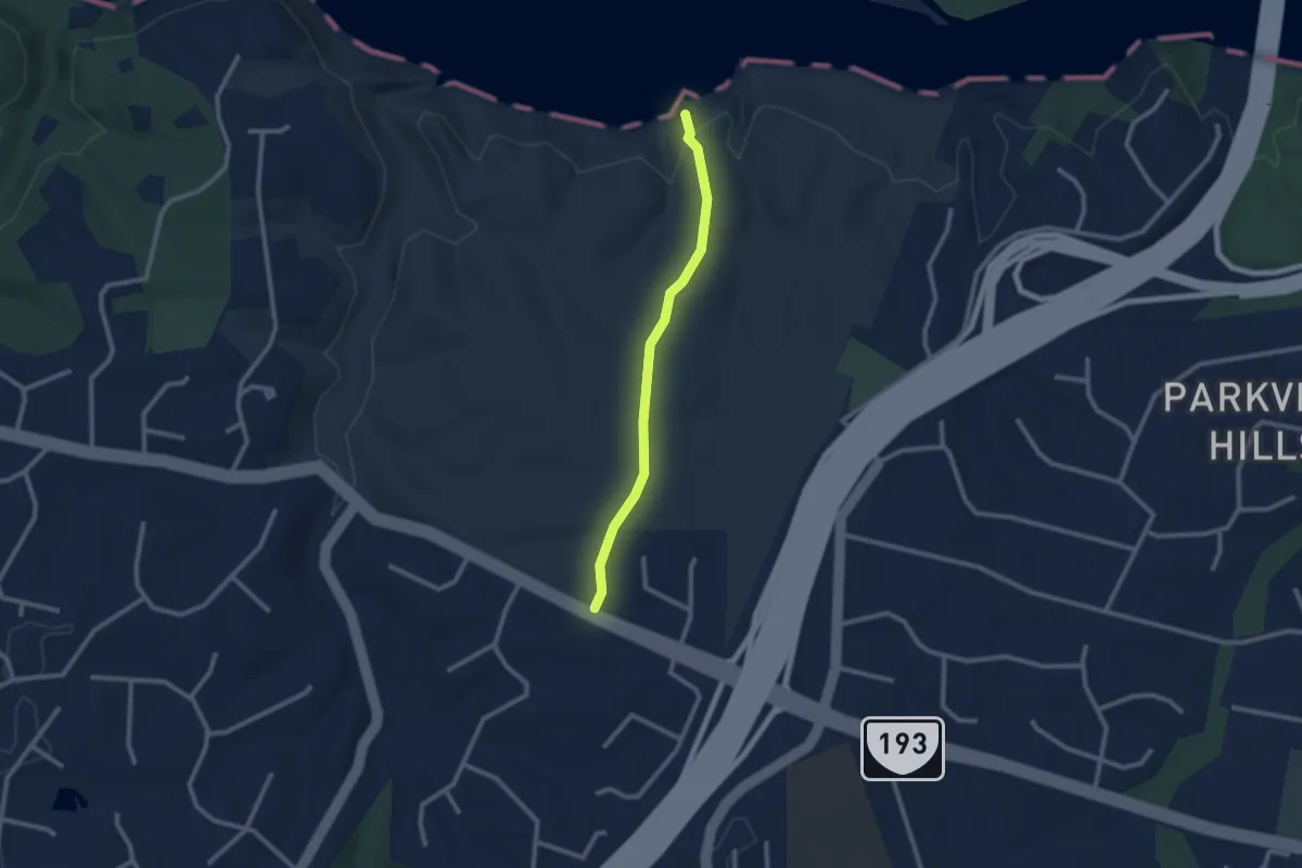
Easy · Trail
Stubblefield Falls Overlook
2.5 km · ↑ 74 m · 46 min
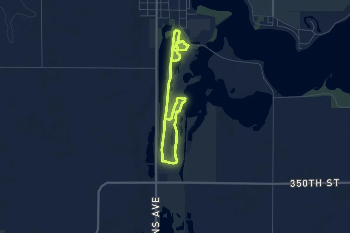
Medium · Trail
Stubb Severson Trail
9.4 km · ↑ 0 m · 2 h 13 min
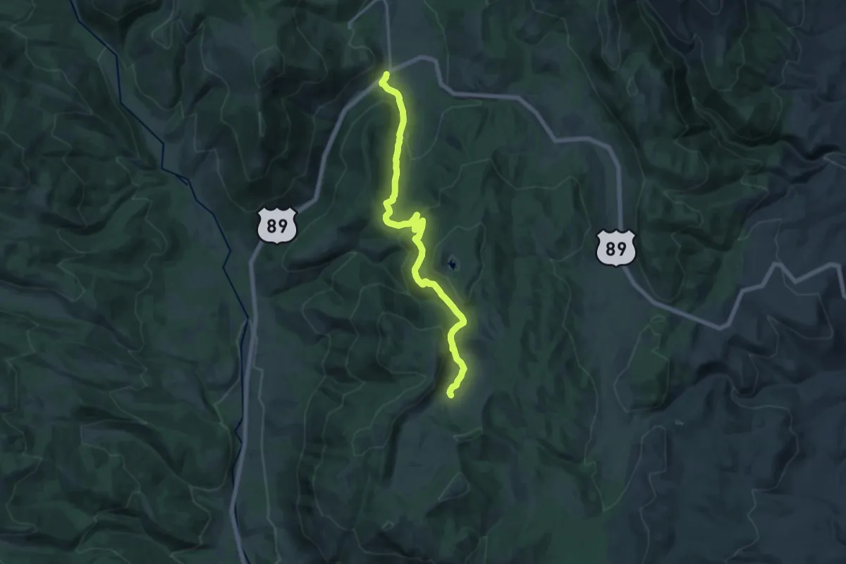
Medium · Trail
Stump Hollow Trail
16.3 km · ↑ 527 m · 5 h
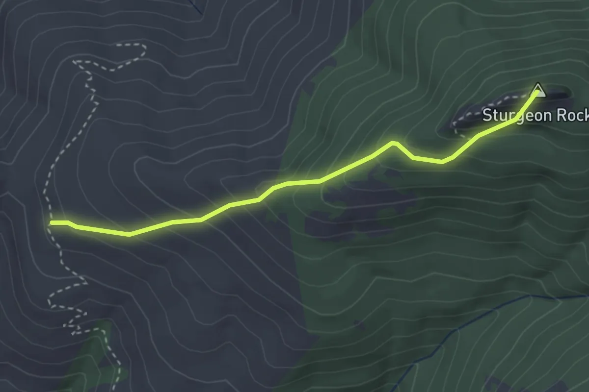
Easy · Summit
Sturgeon Rock Trail
3.1 km · ↑ 320 m · 1 h 25 min
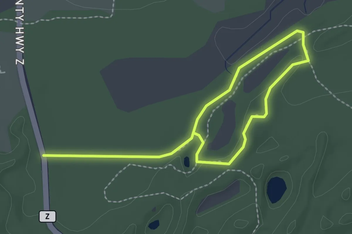
Easy · Trail
Stute Springs Nature Trail
3.4 km · ↑ 26 m · 51 min
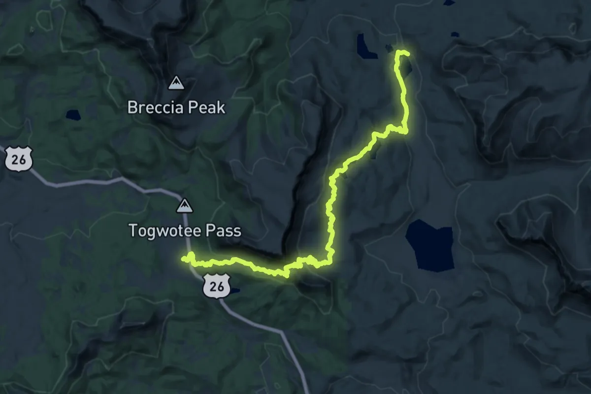
Demanding · Trail
Sublette Mountain CDT Alternate
25.8 km · ↑ 673 m · 7 h 34 min
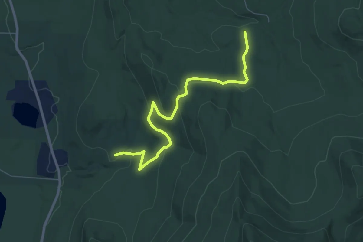
Easy · Trail
Sucker Brook - Blueberry Hill Trail
6.5 km · ↑ 167 m · 1 h 54 min
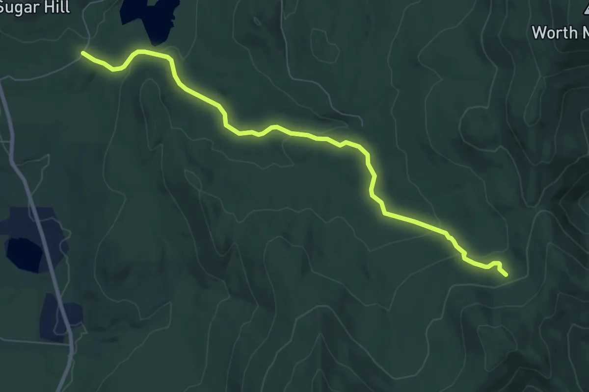
Medium · Trail
Sucker Brook Trail
8.1 km · ↑ 214 m · 2 h 22 min
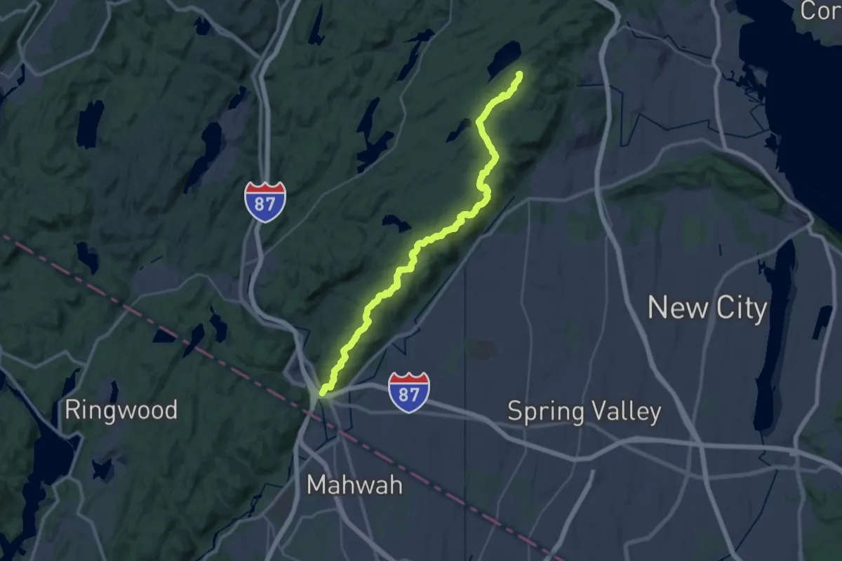
Demanding · Summit
Suffern - Bear Mountain Trail
35.3 km · ↑ 1401 m · 11 h 22 min
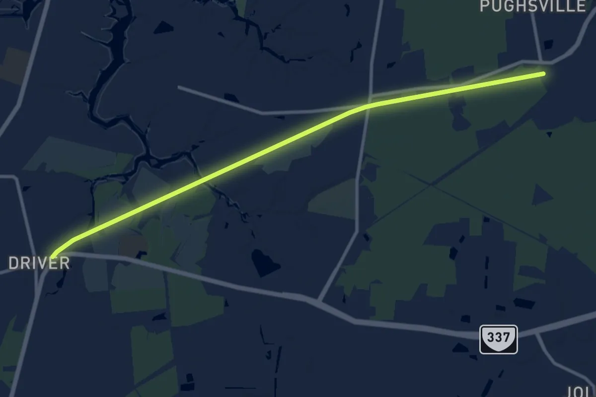
Medium · Trail
Suffolk Seaboard Coastline Trail
11.3 km · ↑ 0 m · 2 h 40 min
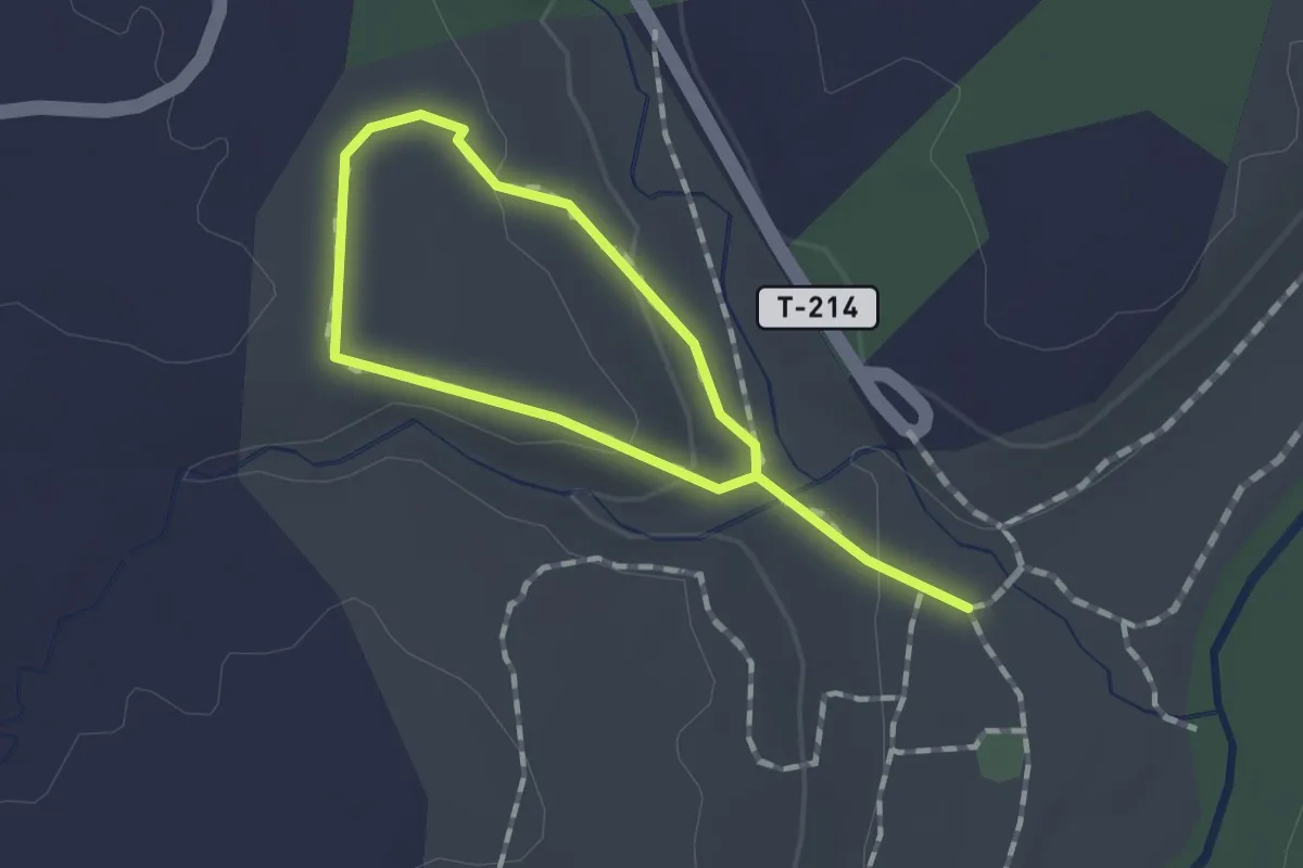
Easy · Trail
Sugar Bush Loop
2.0 km · ↑ 50 m · 35 min
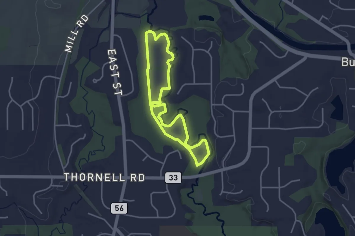
Easy · Trail
Sugar Bush Loop
3.0 km · ↑ 0 m · 46 min
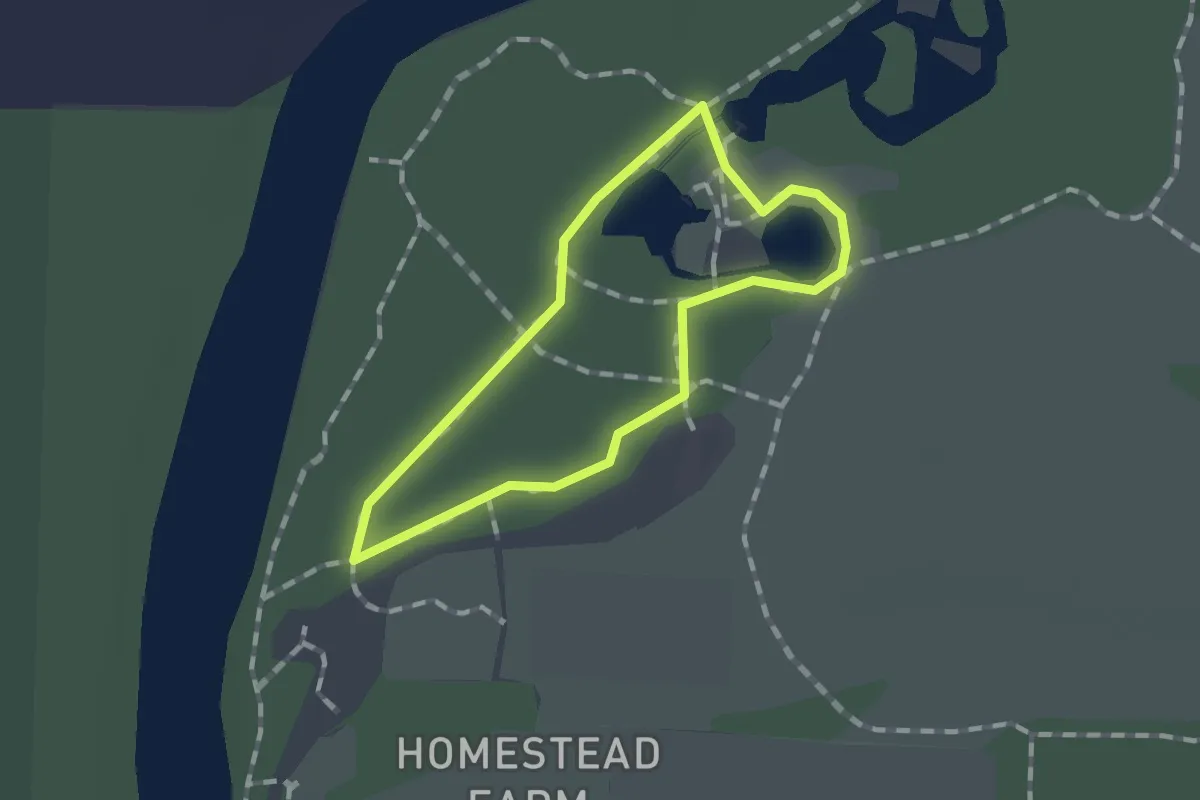
Easy · Trail
Sugar Bush Trail
1.0 km · ↑ 0 m · 15 min