Trails in United States
10,367 hiking trails, each with its route, climb, walking time and grade.
All trails, page 197 of 216
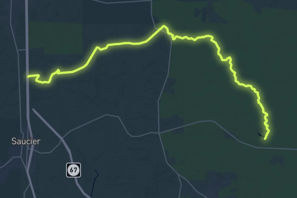
Demanding · Trail
Tuxachanie Trail
20.4 km · ↑ 92 m · 5 h 18 min
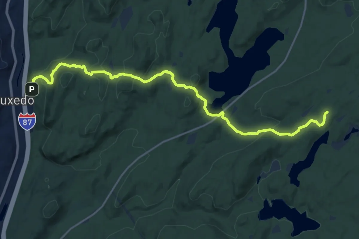
Medium · Summit
Tuxedo - Mt. Ivy Trail
14.5 km · ↑ 619 m · 4 h 46 min
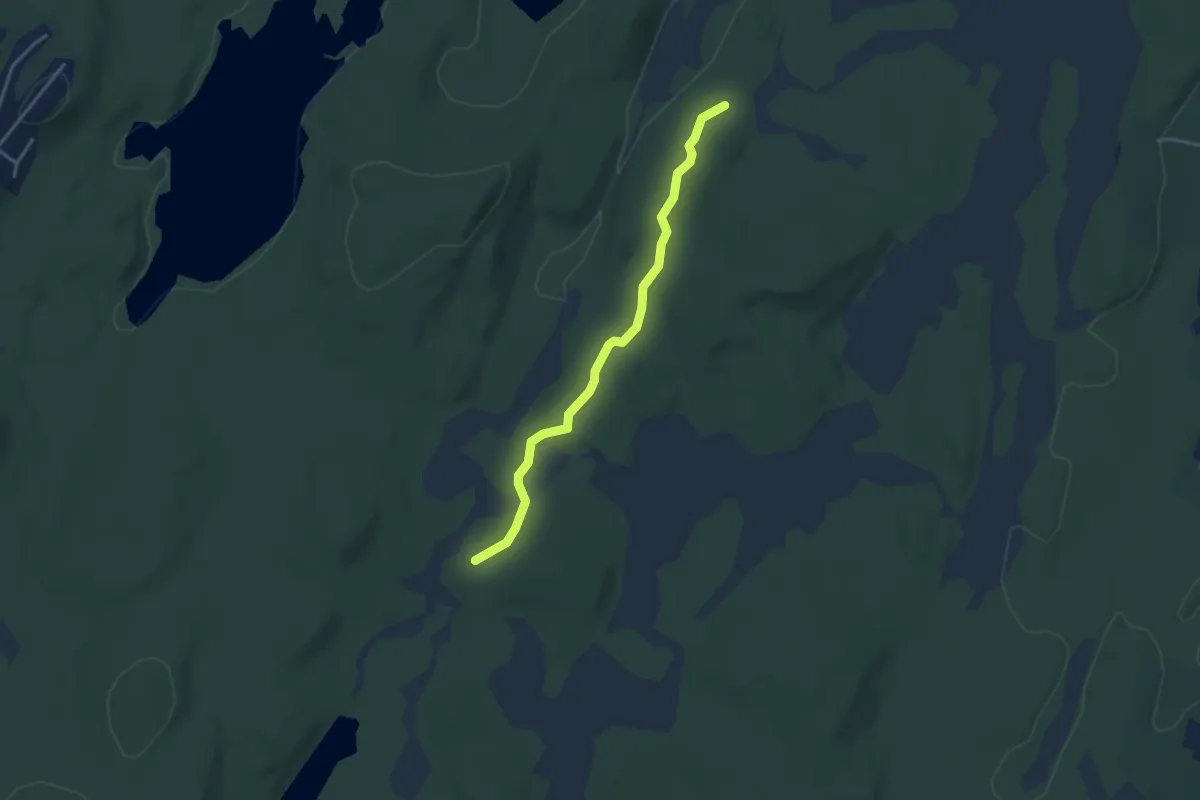
Easy · Trail
Twin Bridges Trail
3.7 km · ↑ 57 m · 1 h
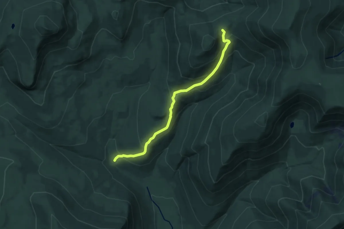
Medium · Cabin
Twin Brook Trail
7.6 km · ↑ 490 m · 2 h 51 min
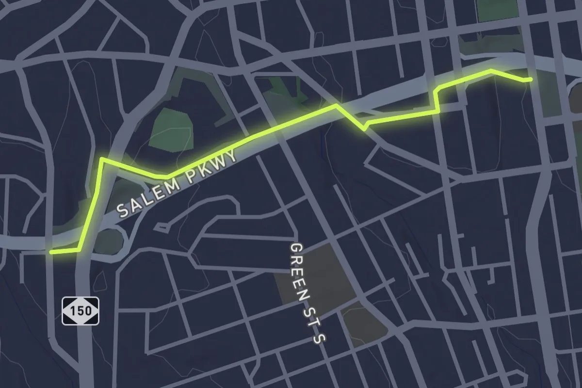
Easy · Trail
Twin City Trail
3.3 km · ↑ 66 m · 56 min
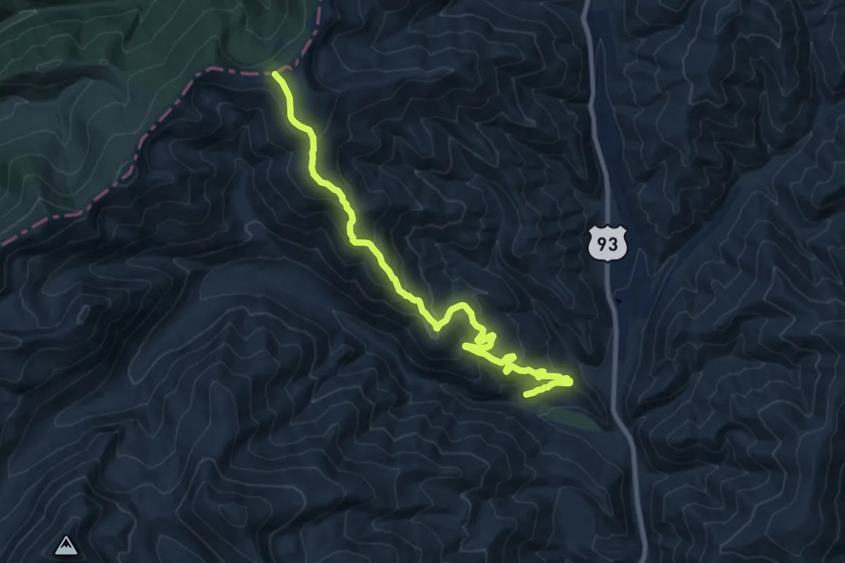
Demanding · Trail
Twin Creek Ridge Trail
16.9 km · ↑ 861 m · 5 h 51 min
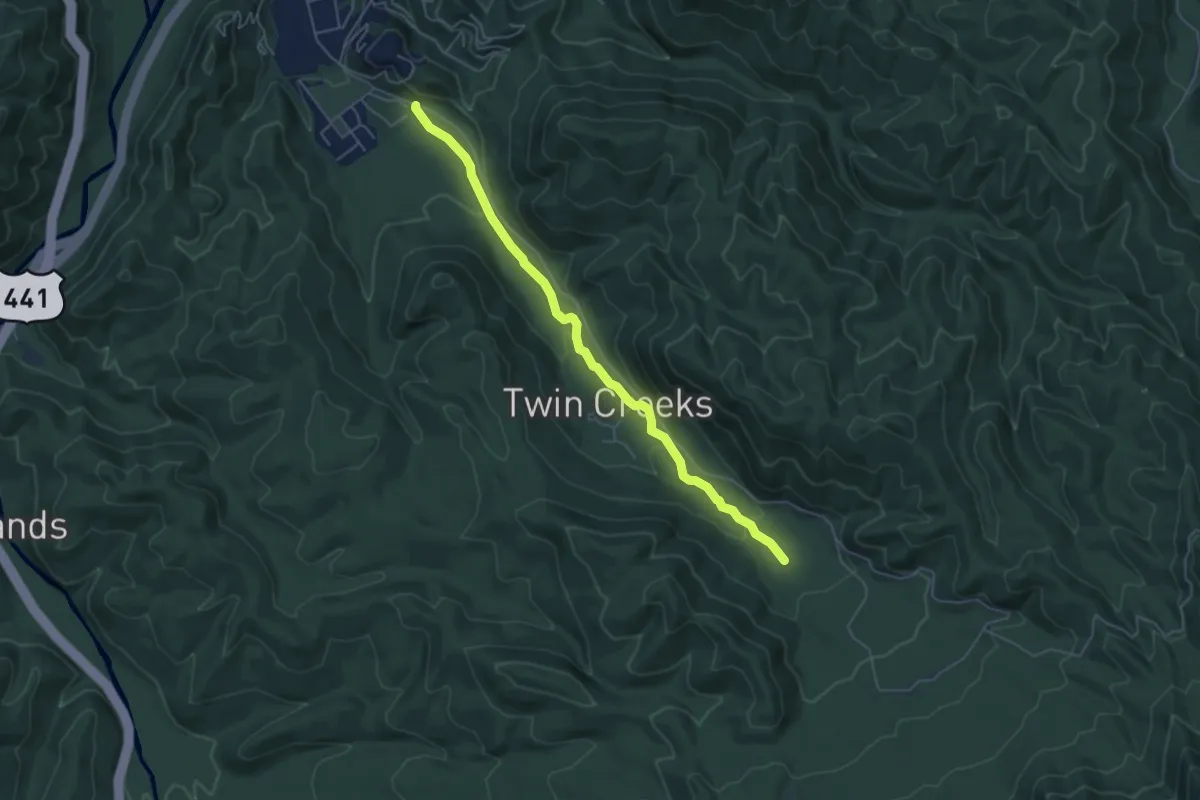
Easy · Trail
Twin Creeks Trail
5.9 km · ↑ 215 m · 1 h 52 min
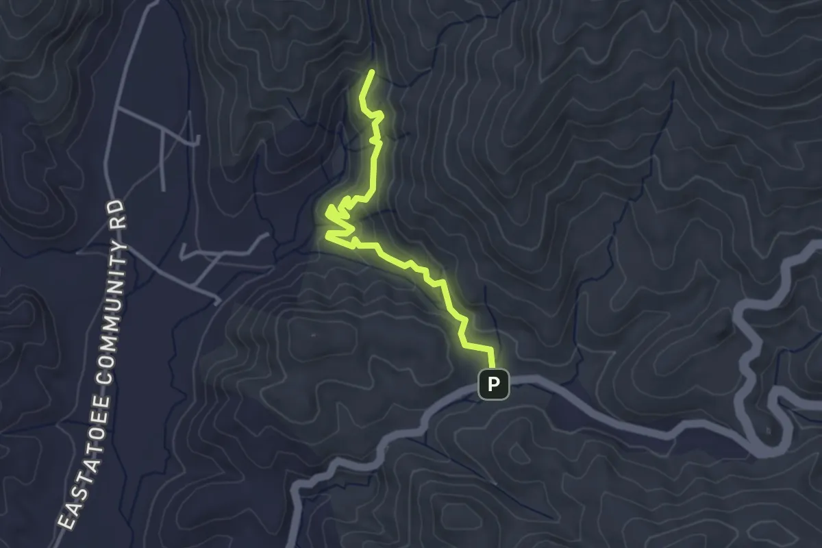
Easy · Trail
Twin Falls Trail
3.7 km · ↑ 147 m · 1 h 11 min
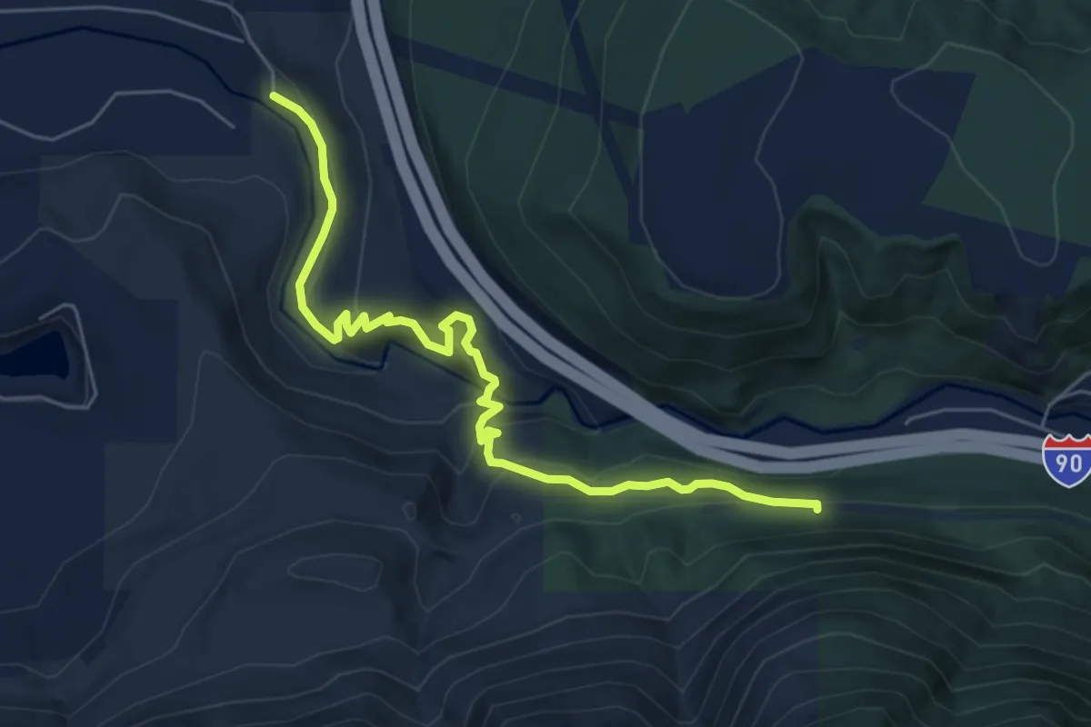
Medium · Trail
Twin Falls Trail
6.2 km · ↑ 397 m · 2 h 19 min
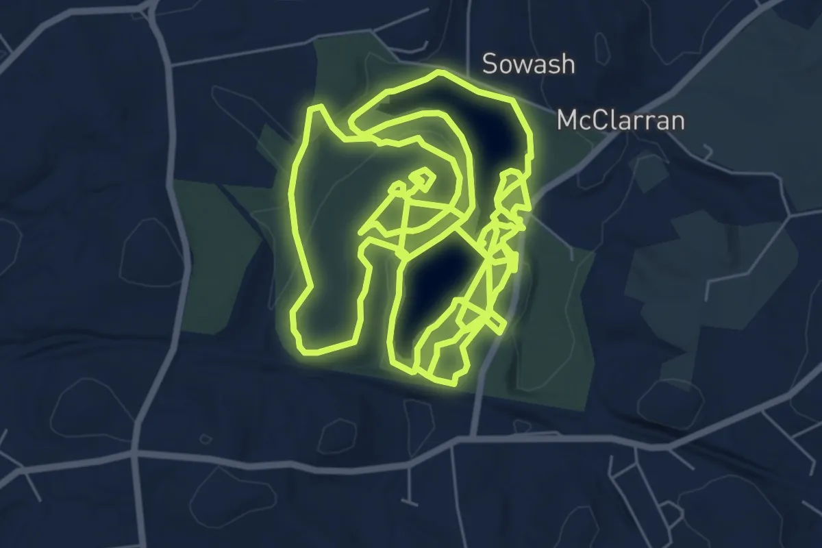
Medium · Trail
Twin Lakes Park Hiking
11.6 km · ↑ 178 m · 3 h 19 min
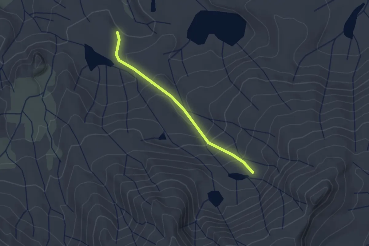
Easy · Trail
Twin Lakes Trail
2.7 km · ↑ 142 m · 57 min
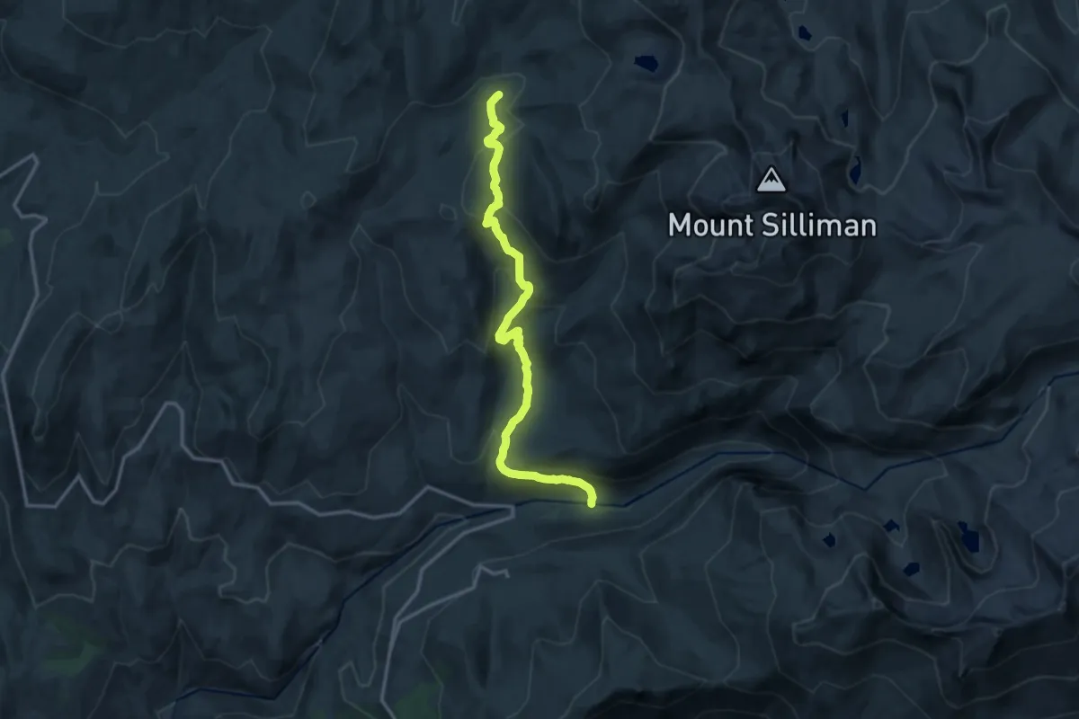
Medium · Trail
Twin Lakes Trail
15.8 km · ↑ 681 m · 5 h 12 min
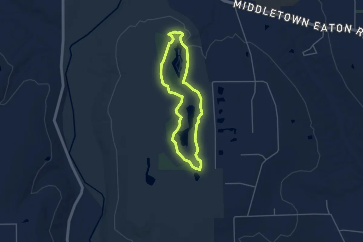
Easy · Trail
Twin Lakes Trail
3.2 km · ↑ 14 m · 50 min
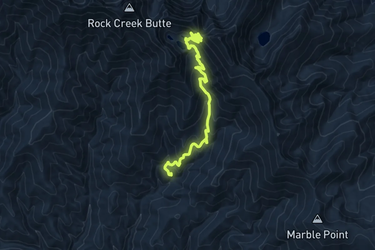
Demanding · Trail
Twin Lakes Trail
15.5 km · ↑ 933 m · 5 h 41 min
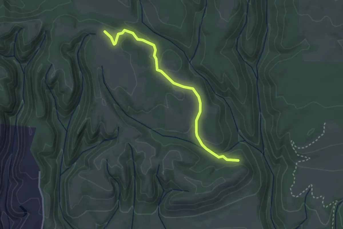
Easy · Trail
Twin Oaks Trail
3.5 km · ↑ 68 m · 58 min
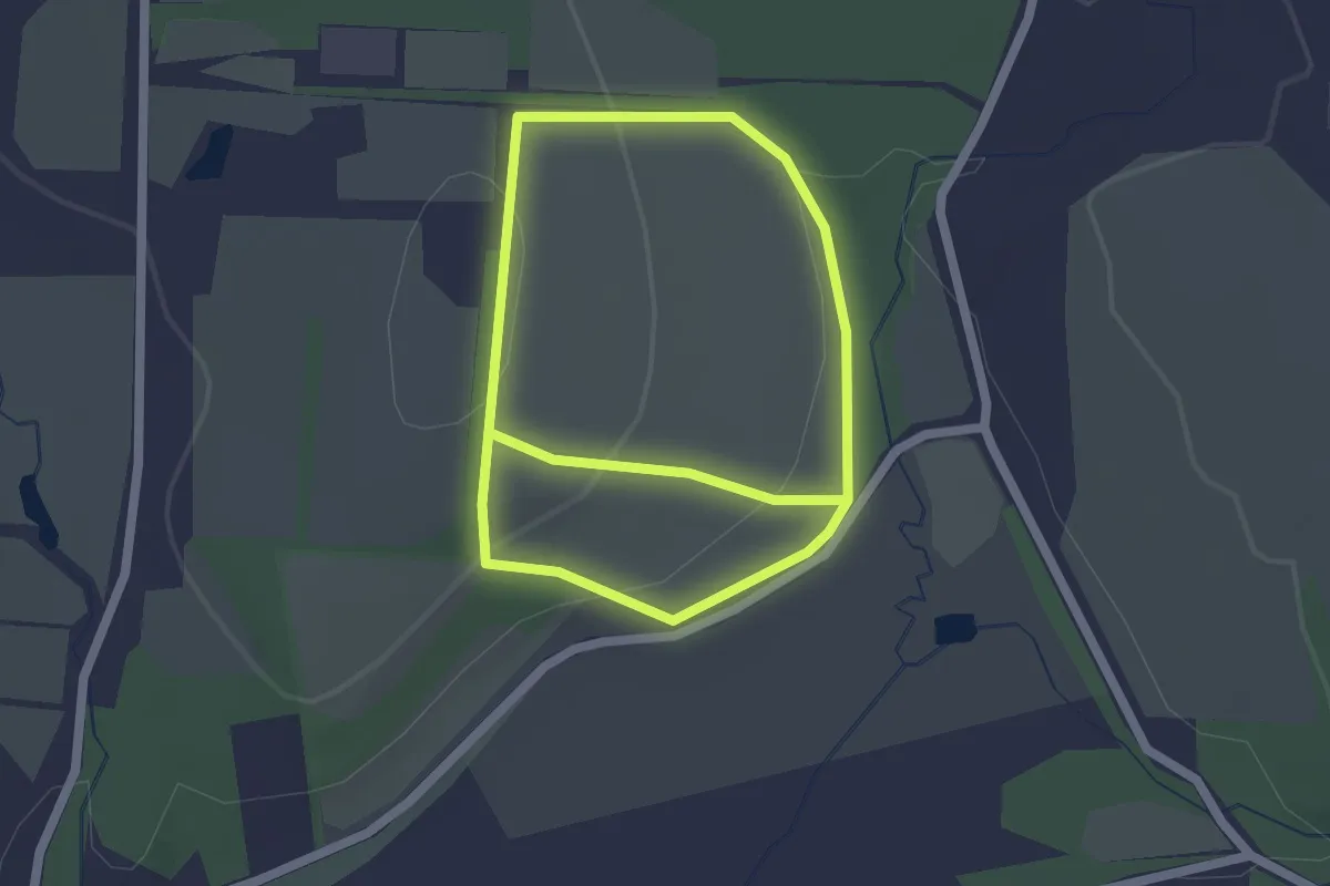
Easy · Trail
Twin Oaks Trails
4.0 km · ↑ 137 m · 1 h 14 min
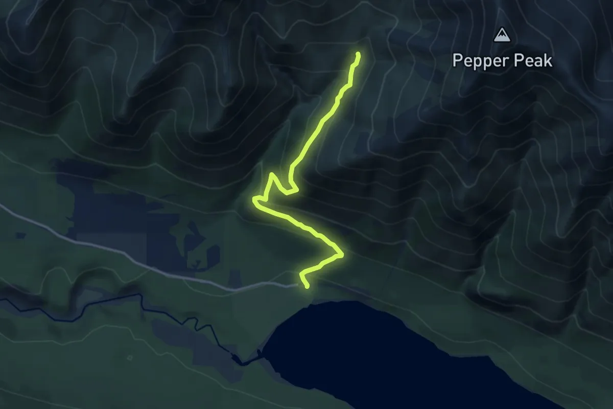
Medium · Trail
Twin Peaks Trail
8.3 km · ↑ 636 m · 3 h 20 min
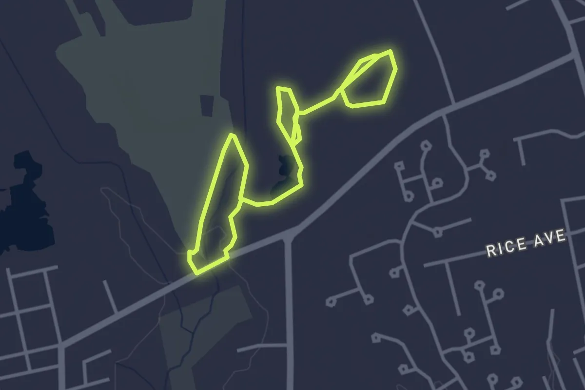
Easy · Trail
Twin Pond Trail
5.5 km · ↑ 13 m · 1 h 20 min
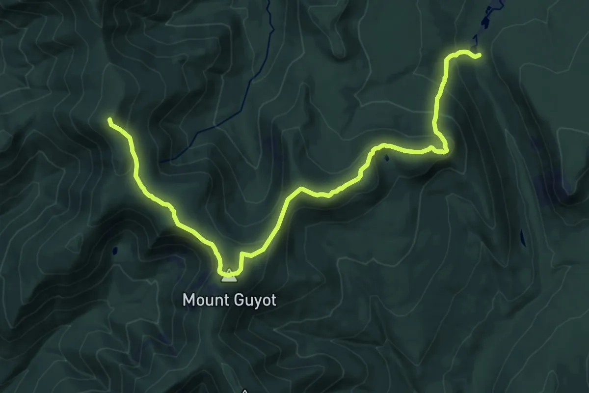
Demanding · Summit
Twinway
18.2 km · ↑ 1074 m · 6 h 37 min
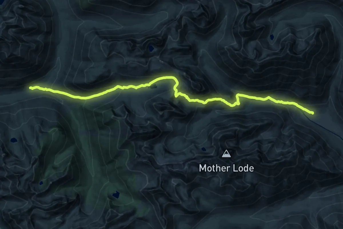
Medium · Trail
Twisp Pass Trail
13.7 km · ↑ 746 m · 5 h 3 min
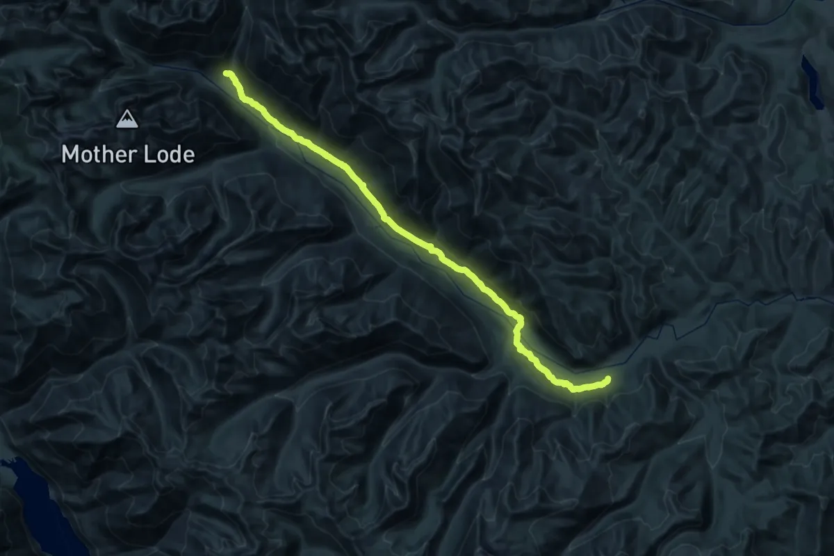
Demanding · Trail
Twisp River Trail
22.4 km · ↑ 669 m · 6 h 51 min
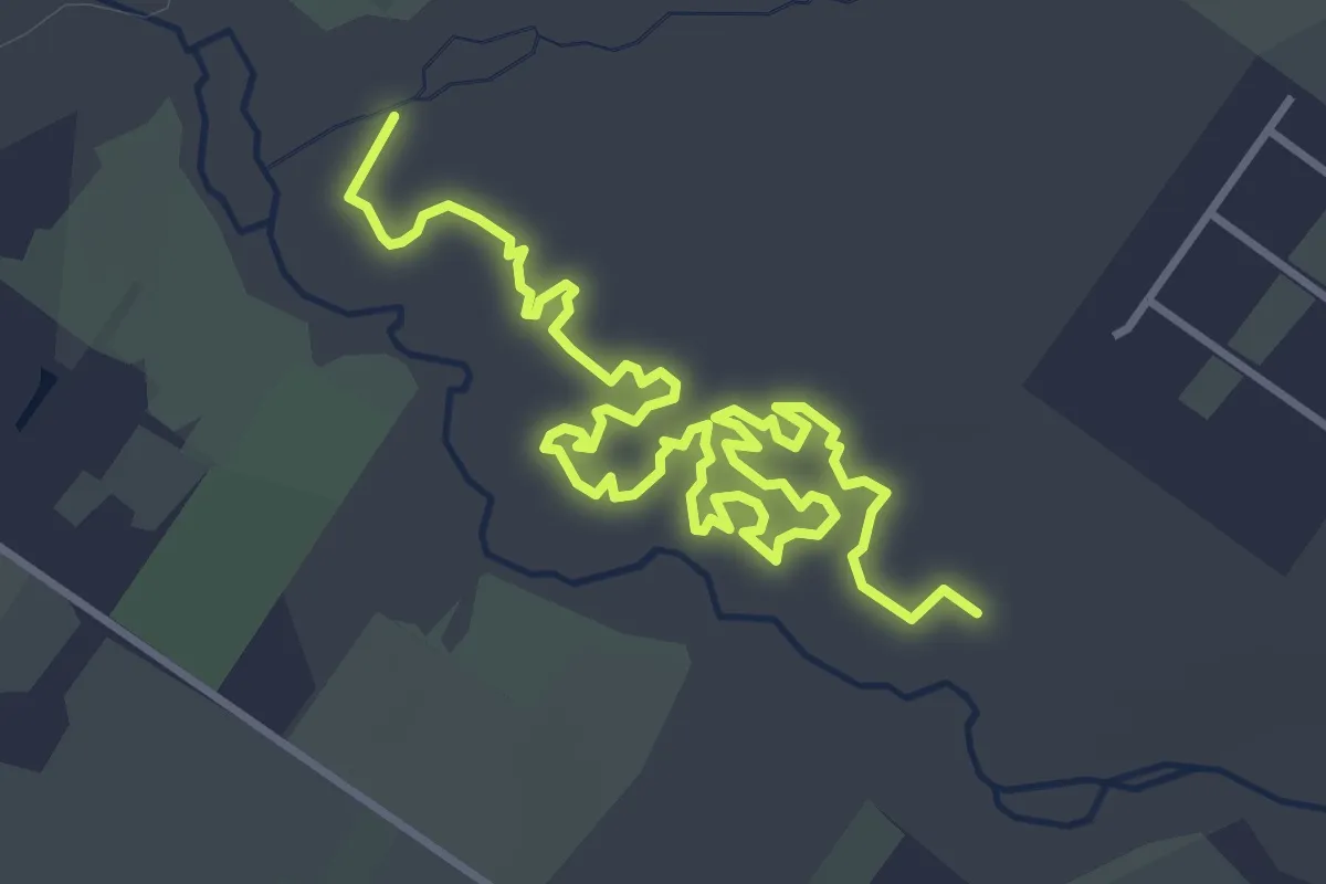
Easy · Trail
Twisty Trail
6.1 km · ↑ 9 m · 1 h 28 min
Easy · Trail
Two Bridges Trail
4.4 km · ↑ 134 m · 1 h 20 min
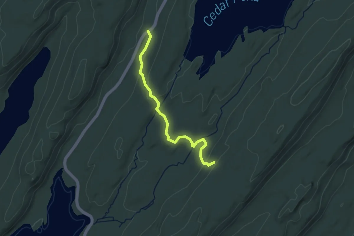
Easy · Trail
Two Brooks Trail
3.4 km · ↑ 89 m · 59 min
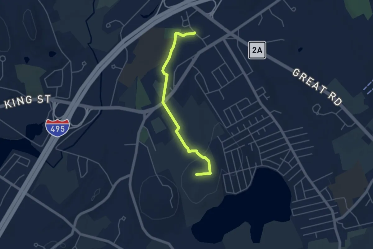
Easy · Summit
Two Brothers Trail
4.3 km · ↑ 67 m · 1 h 9 min
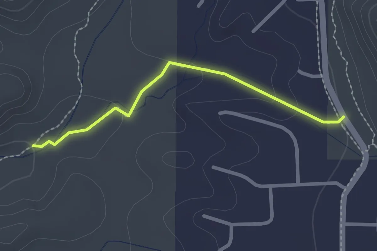
Easy · Trail
Two Fence #162A
2.2 km · ↑ 49 m · 38 min
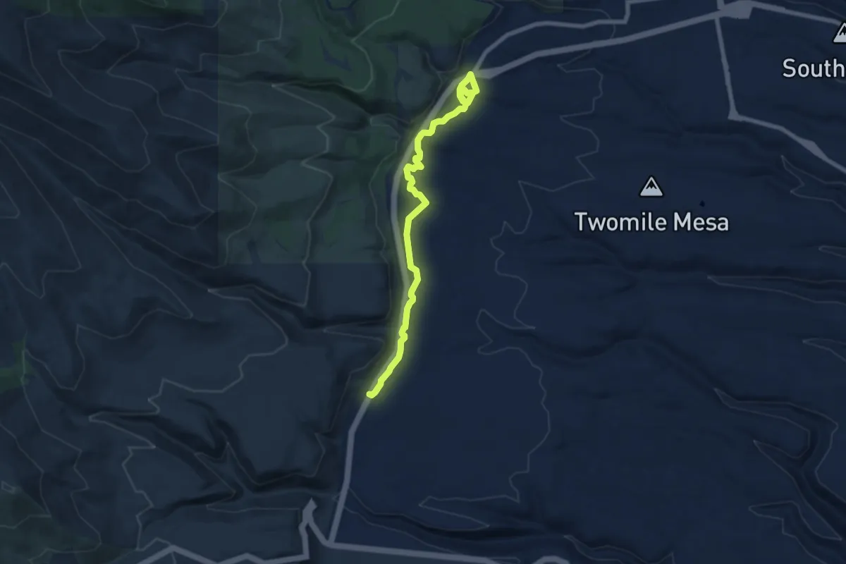
Medium · Trail
Two Mile Mesa Trail
8.8 km · ↑ 174 m · 2 h 27 min
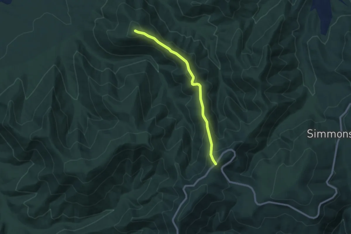
Medium · Trail
Twomile Ridge Trail
6.8 km · ↑ 454 m · 2 h 35 min
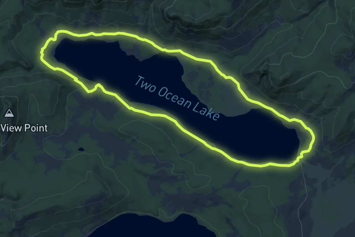
Medium · Trail
Two Ocean Lake Trail
10.0 km · ↑ 85 m · 2 h 42 min
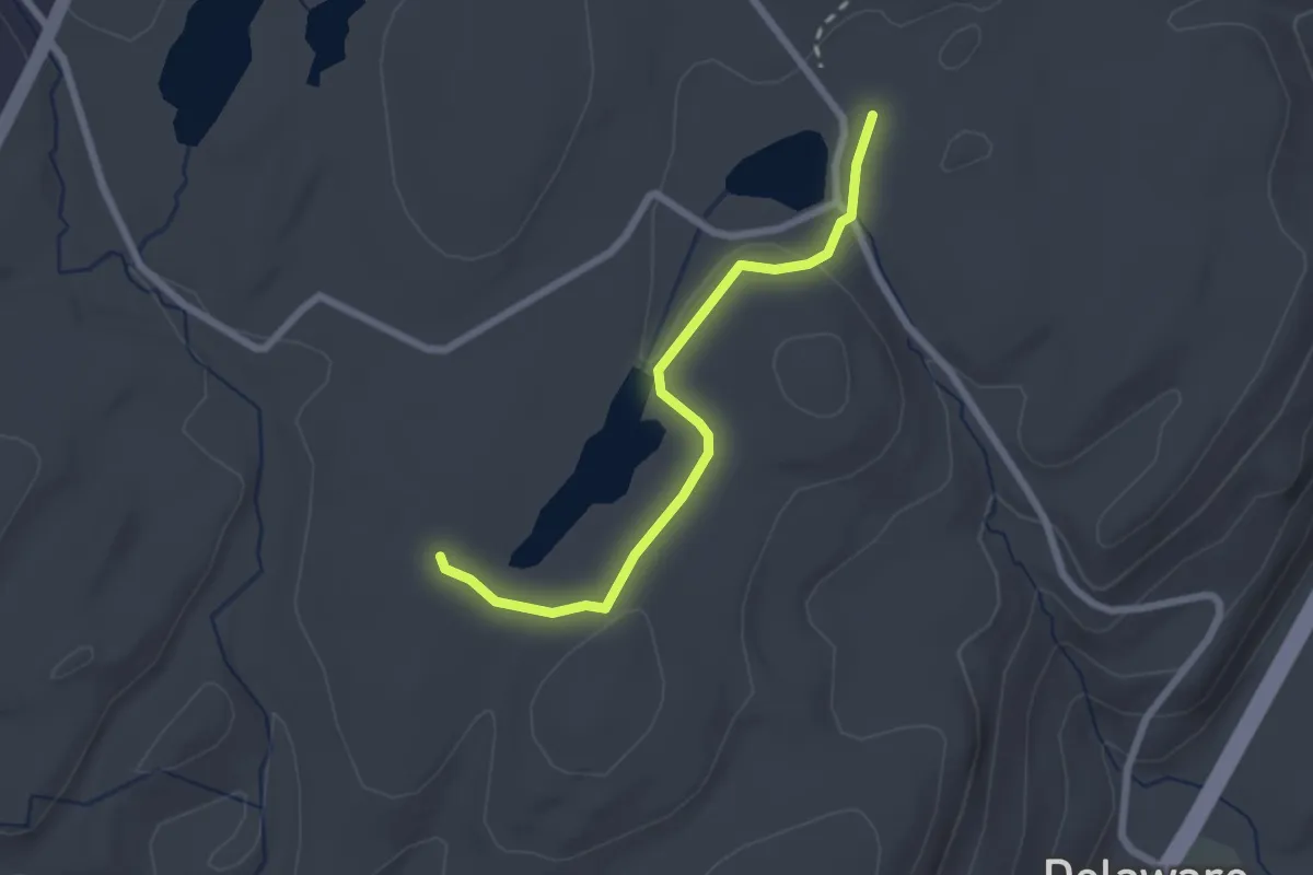
Easy · Trail
Two Ponds Trail
2.5 km · ↑ 38 m · 40 min
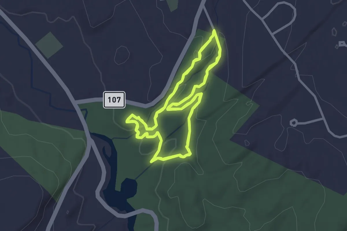
Easy · Trail
Two Ridges Trail
4.6 km · ↑ 155 m · 1 h 30 min
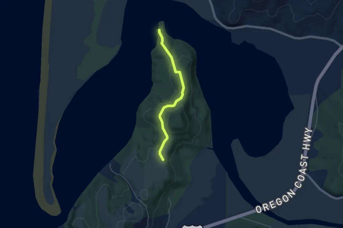
Easy · Trail
Two Rivers Trail
3.7 km · ↑ 128 m · 1 h 10 min
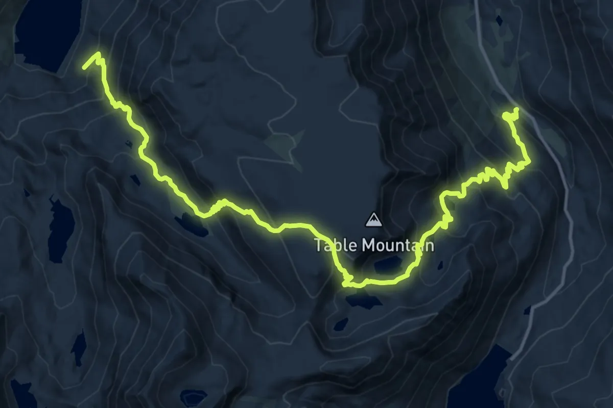
Demanding · Trail
Tyee Lakes Trail
20.3 km · ↑ 1442 m · 7 h 55 min
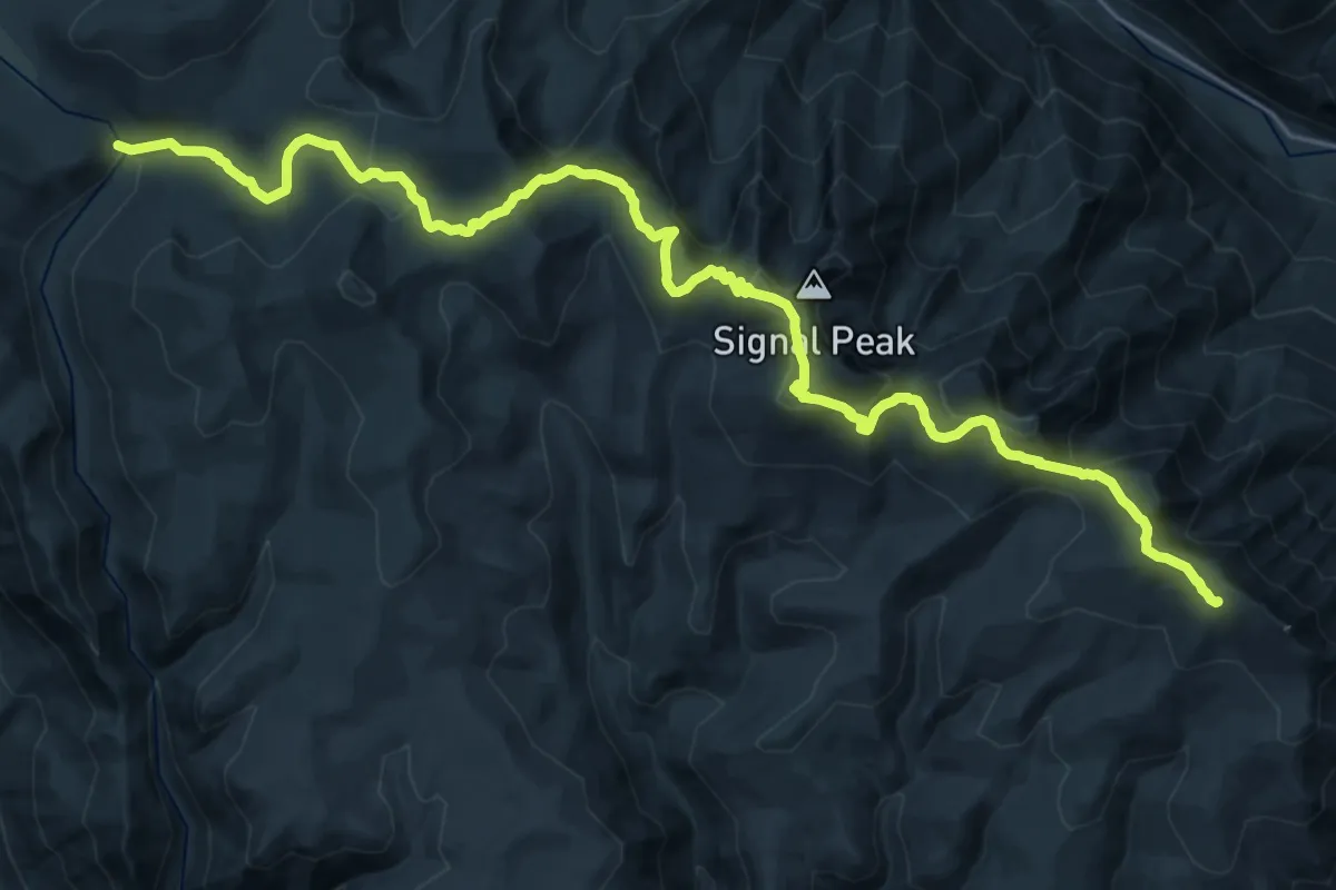
Demanding · Trail
Tyee Ridge Trail
14.6 km · ↑ 816 m · 5 h 15 min
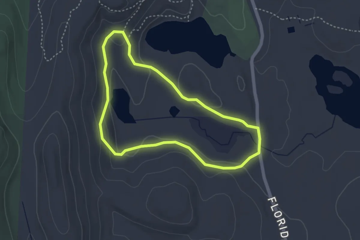
Easy · Trail
Tyler Swamp Loop
3.4 km · ↑ 53 m · 58 min
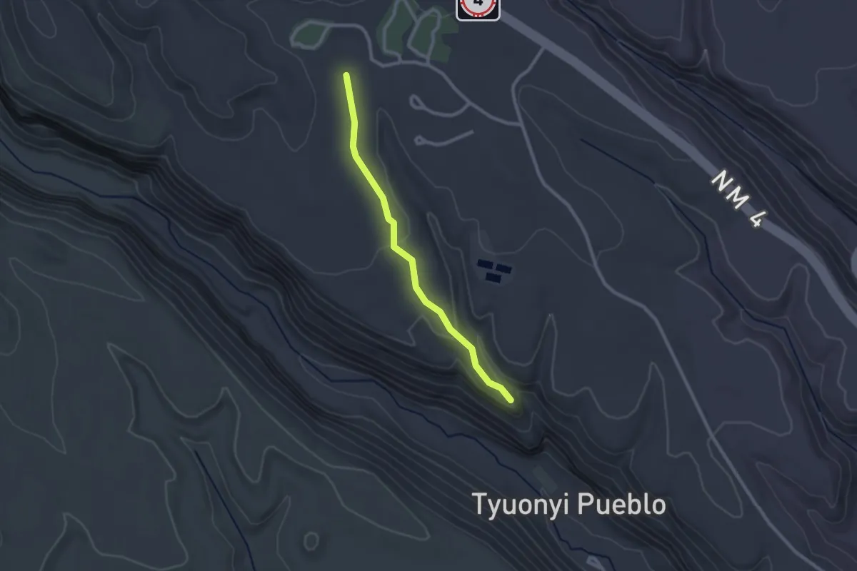
Easy · Trail
Tyuonyi Overlook Trail
2.6 km · ↑ 58 m · 44 min
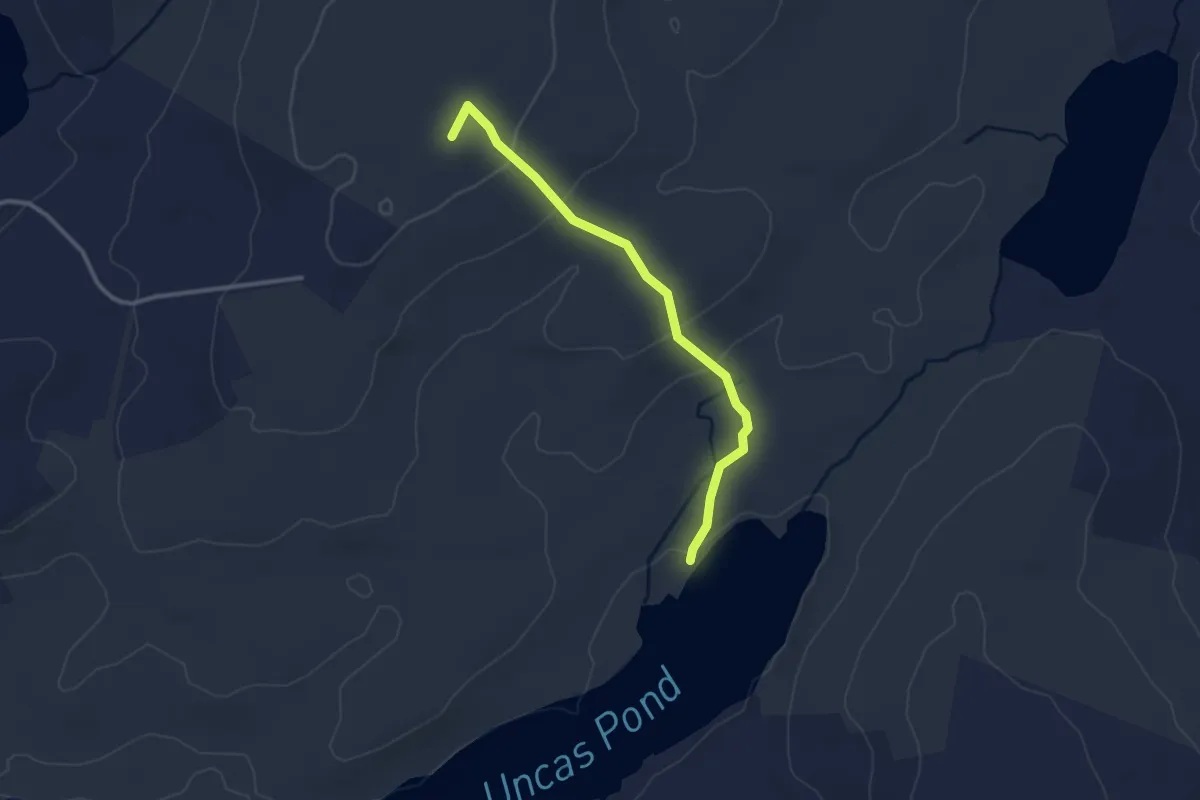
Easy · Summit
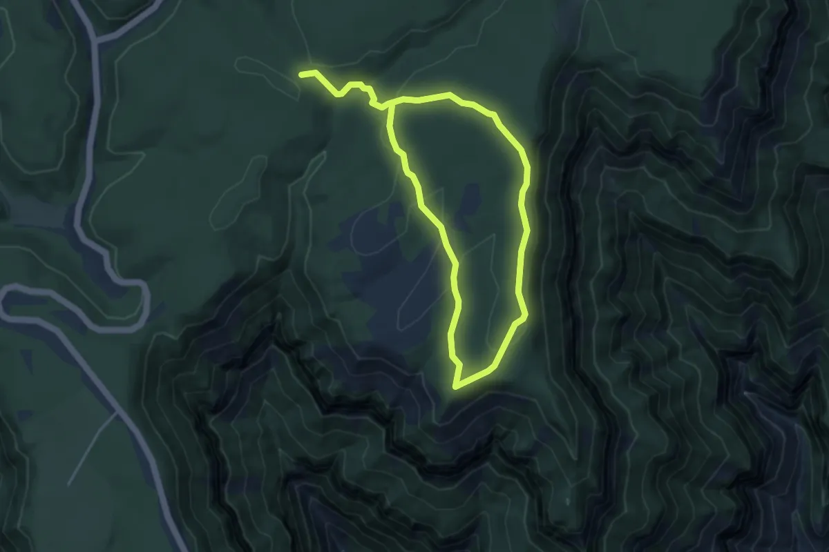
Uncas Pond Connector
3.0 km · ↑ 136 m · 1 h
Easy · Trail
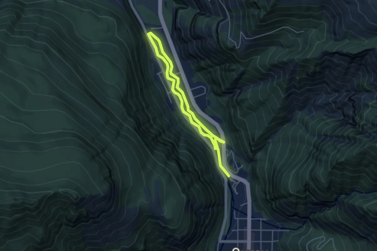
Uncle Jim Trail
3.8 km · ↑ 96 m · 1 h 10 min
Easy · Trail
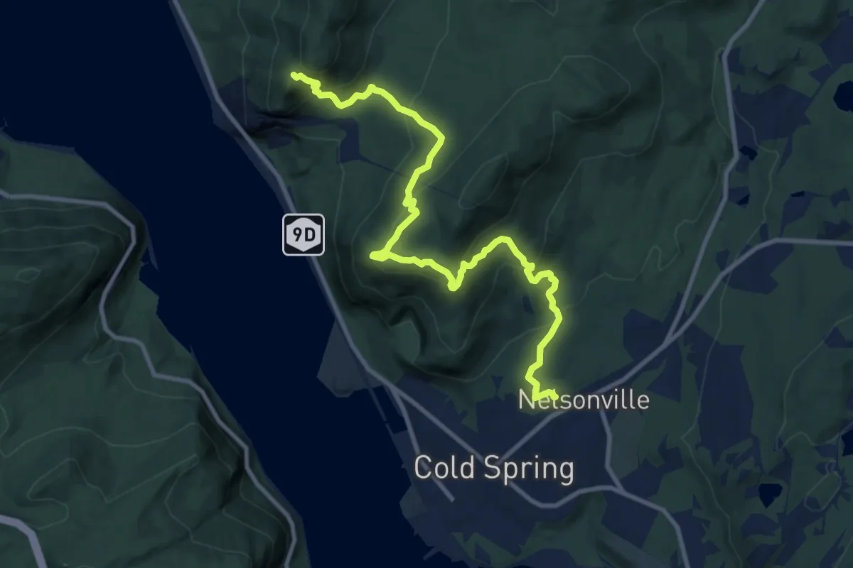
Uncompahgre River Walk Loop
3.5 km · ↑ 21 m · 55 min
Medium · Trail
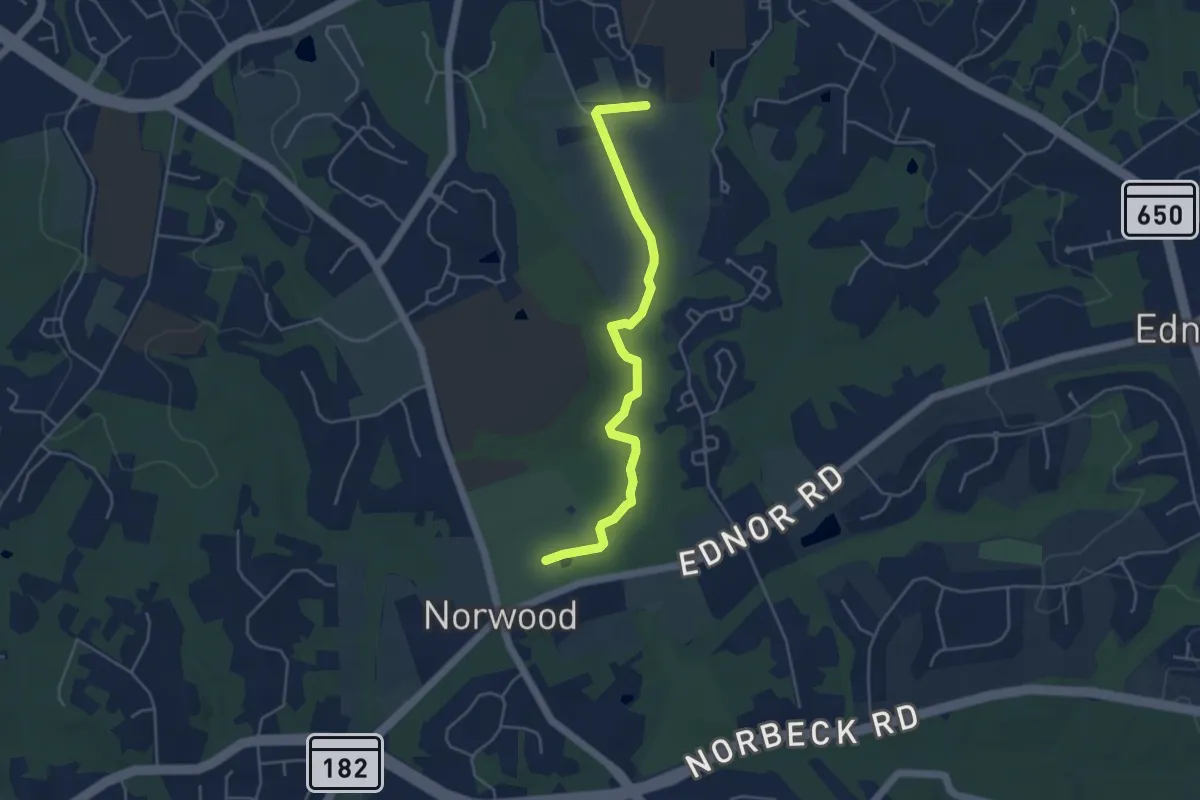
Undercliff Trail
11.5 km · ↑ 628 m · 4 h 5 min
Easy · Trail
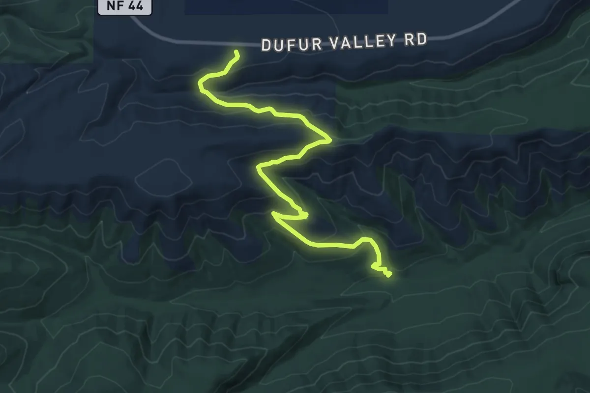
Underground Railroad Experience Trail
5.2 km · ↑ 49 m · 1 h 21 min
Medium · Trail
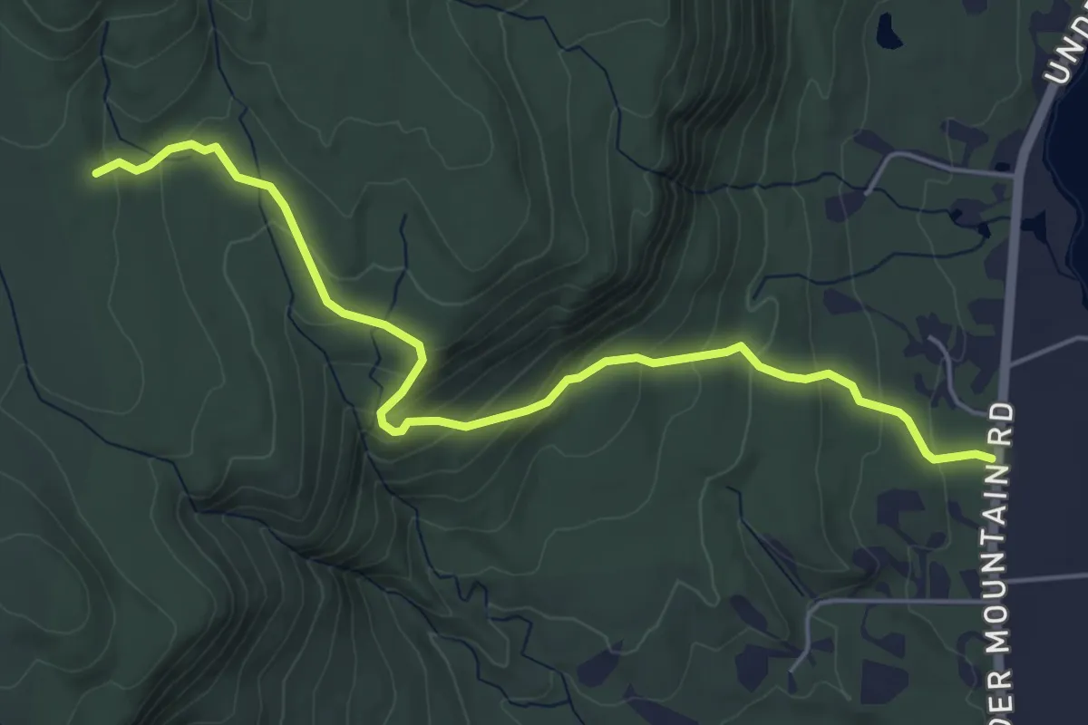
Underhill Trail
9.0 km · ↑ 430 m · 3 h 3 min
Easy · Trail
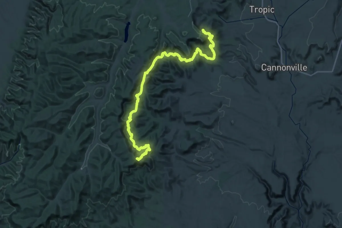
Undermountain Trail
5.8 km · ↑ 316 m · 2 h 4 min
Demanding · Summit
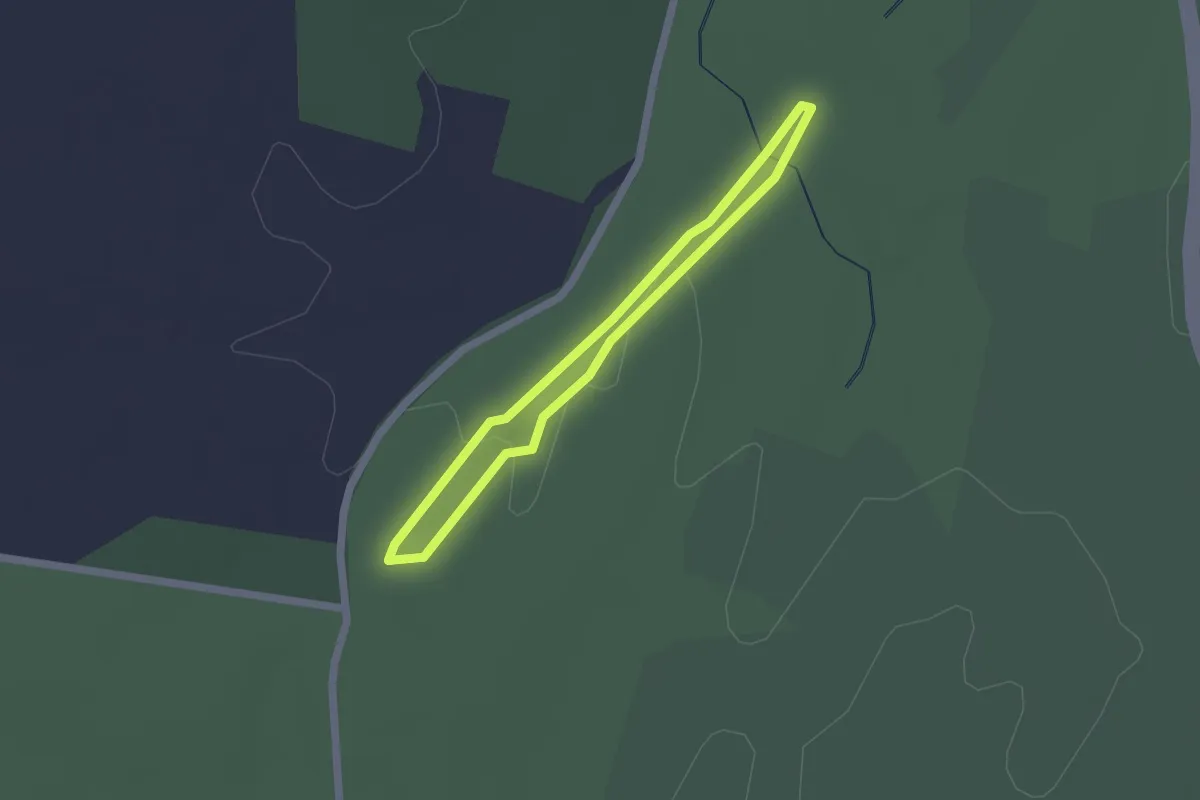
Under-the-Rim Trail
70.5 km · ↑ 3008 m · 23 h 10 min
Easy · Trail
Unfinished Railroad Loop Trail
1.7 km · ↑ 13 m · 28 min
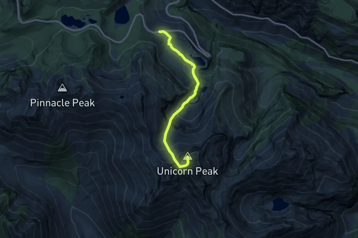
Expert · Summit
Unicorn Peak
7.3 km · ↑ 851 m · 3 h 34 min
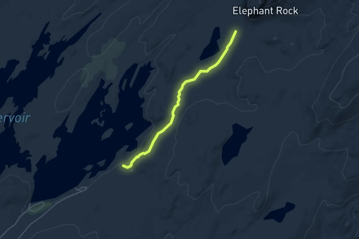
Easy · Trail
Union Rock Lake Trail
4.1 km · ↑ 51 m · 1 h 5 min
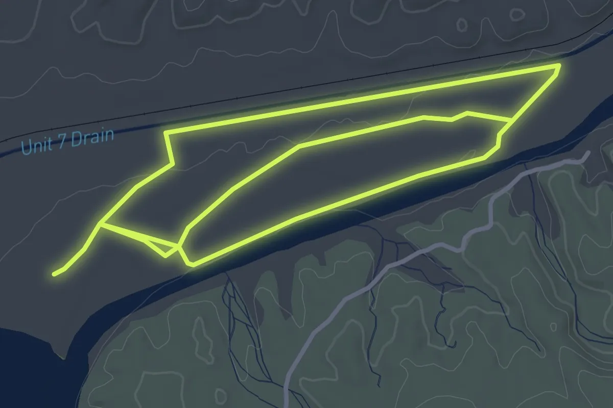
Medium · Trail
Unit B Birding Trail
8.1 km · ↑ 9 m · 1 h 56 min