Trails in United States
10,367 hiking trails, each with its route, climb, walking time and grade.
All trails, page 198 of 216
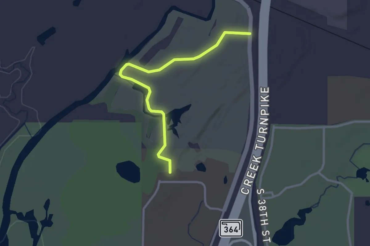
Easy · Trail
University Trail
3.2 km · ↑ 8 m · 47 min
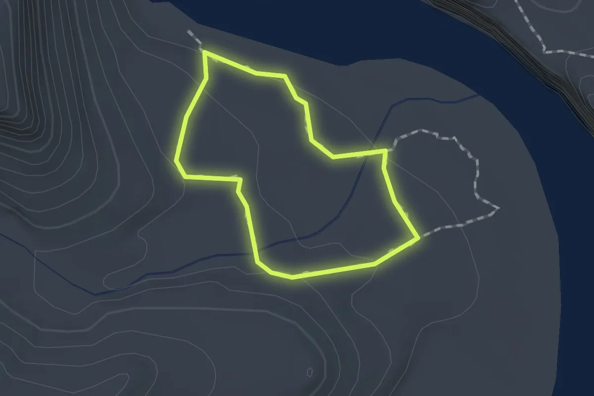
Easy · Trail
Unkar Delta Loop
1.2 km · ↑ 30 m · 22 min
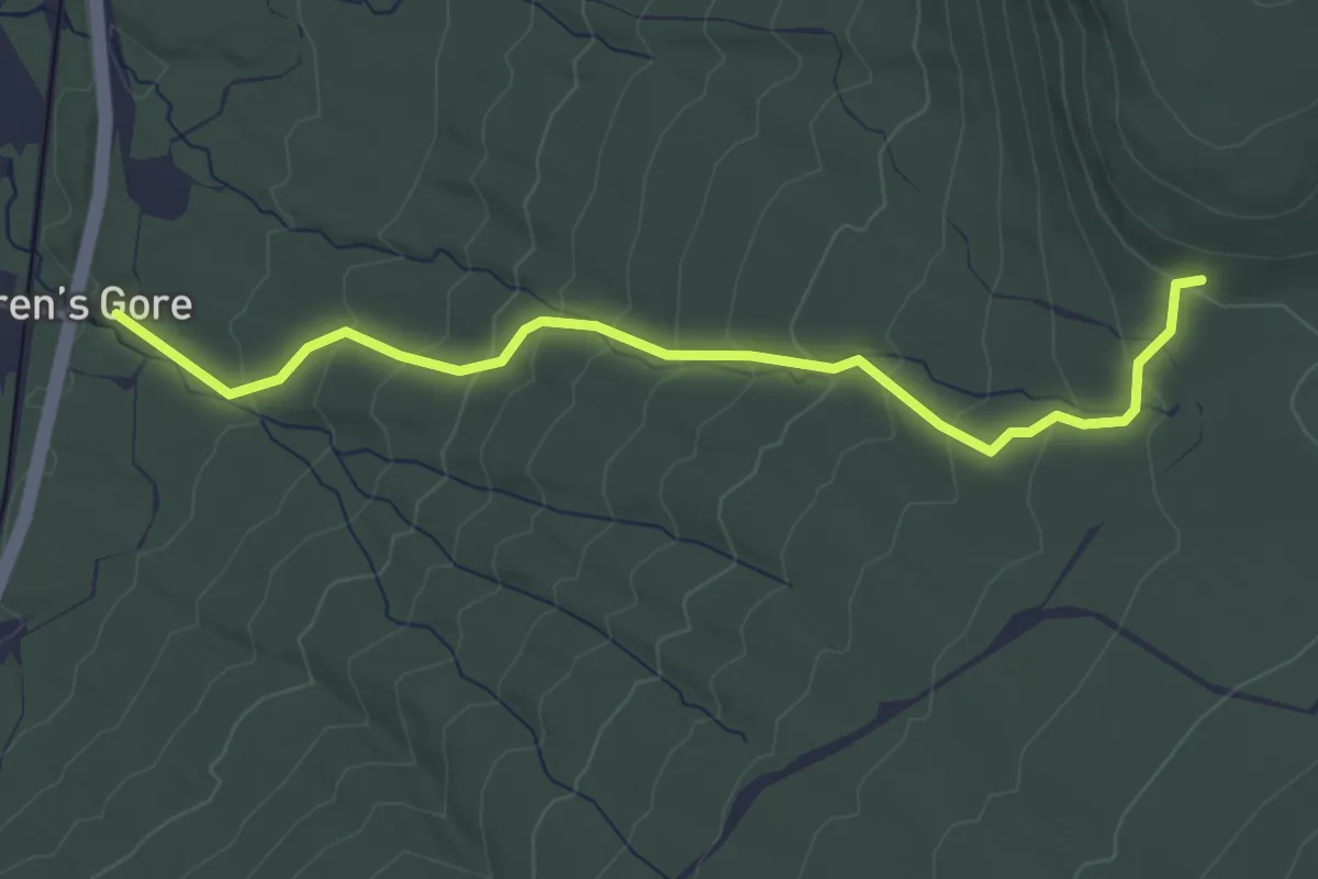
Easy · Trail
Unknown Pond Trail
3.6 km · ↑ 281 m · 1 h 28 min
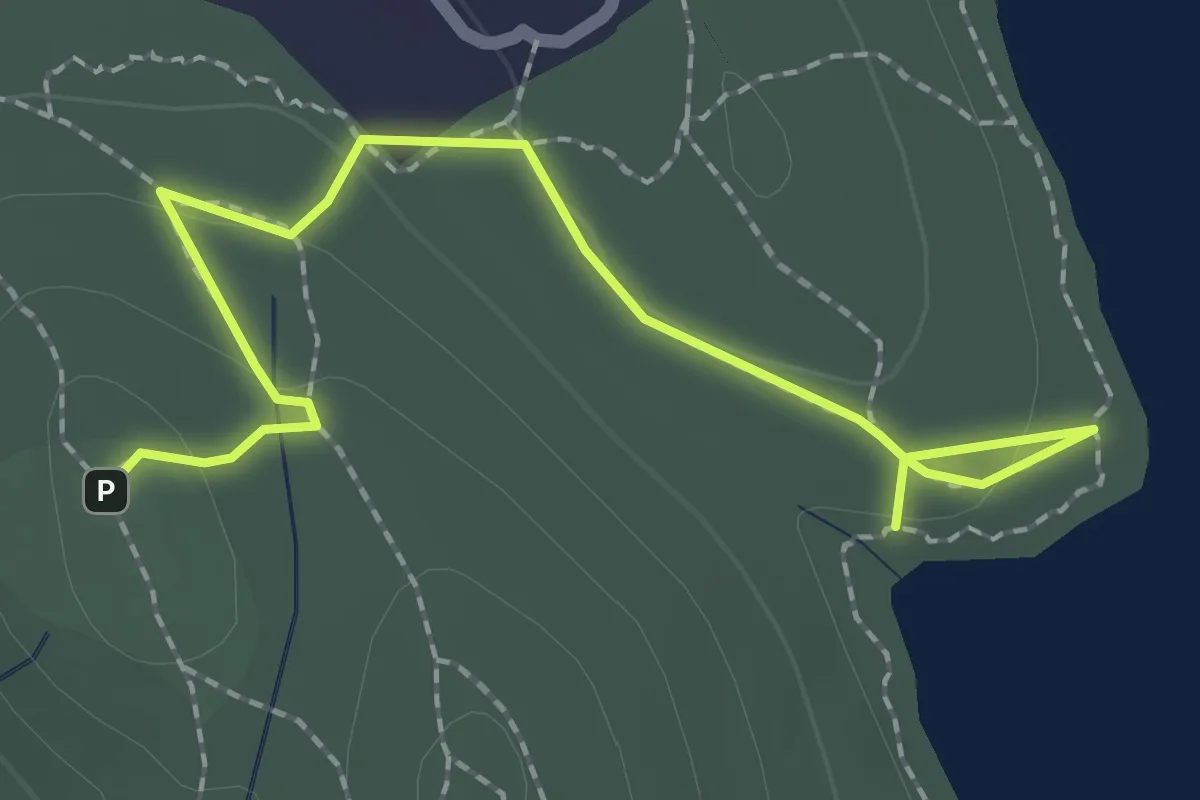
Easy · Trail
Unmarked Trail
2.6 km · ↑ 58 m · 44 min
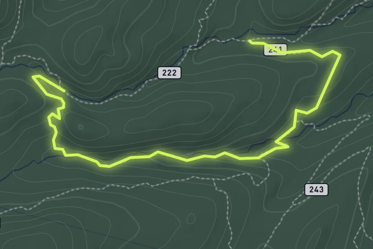
Easy · Trail
Un Poquito Trail
4.4 km · ↑ 114 m · 1 h 17 min
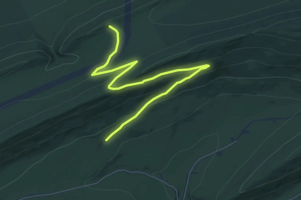
Medium · Trail
Up and Over Trail
9.1 km · ↑ 245 m · 2 h 41 min
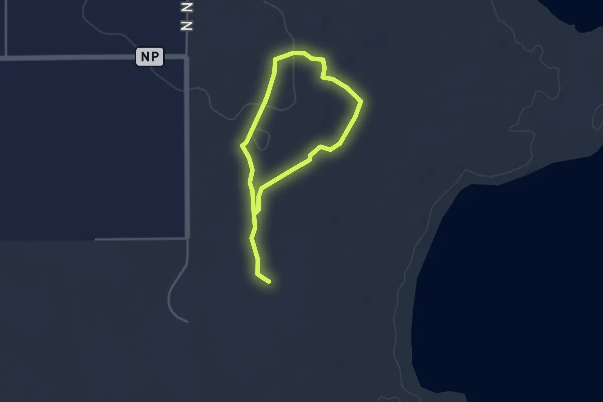
Easy · Trail
Upland
4.6 km · ↑ 36 m · 1 h 11 min
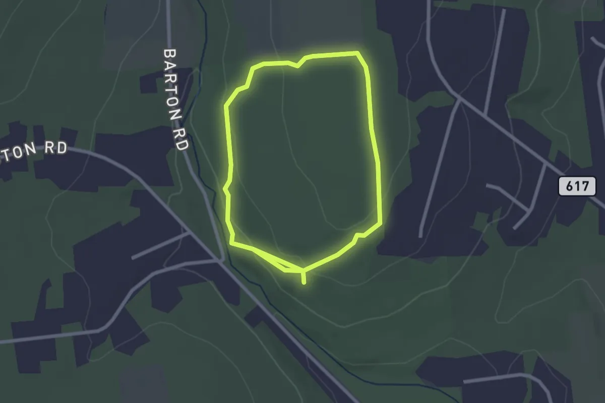
Easy · Trail
Uplands Trail
2.3 km · ↑ 65 m · 43 min
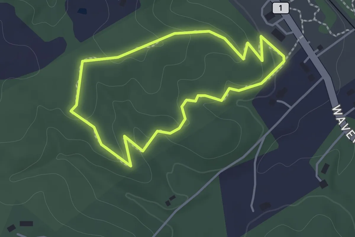
Easy · Trail
Uplands Trail Outer Loop
1.3 km · ↑ 55 m · 27 min
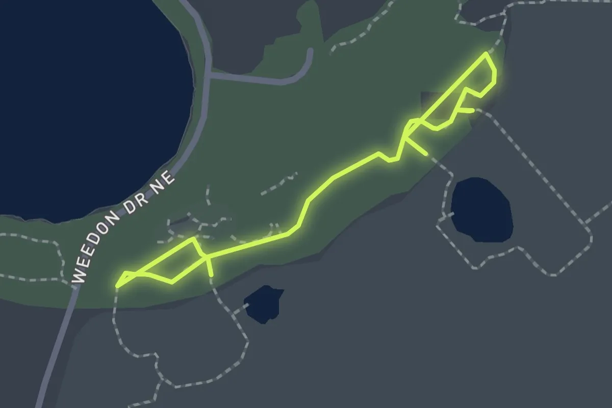
Easy · Trail
Upland Trail
3.0 km · ↑ 0 m · 43 min
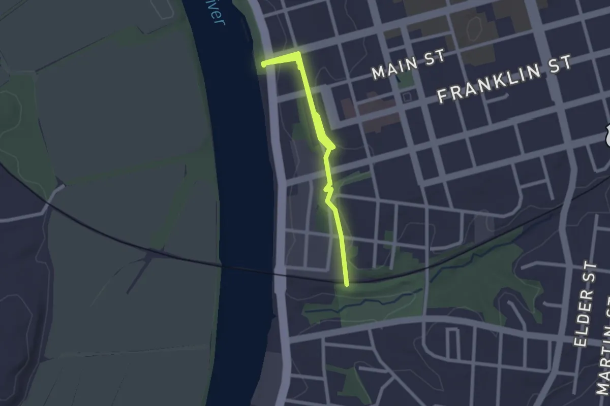
Easy · Trail
Upland Trail
3.2 km · ↑ 58 m · 52 min
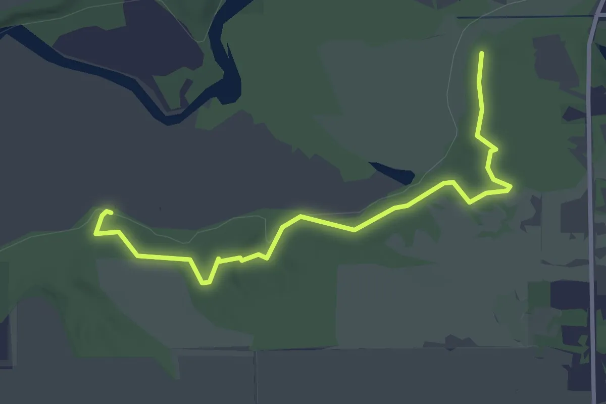
Easy · Trail
Upland Trail
3.3 km · ↑ 35 m · 52 min
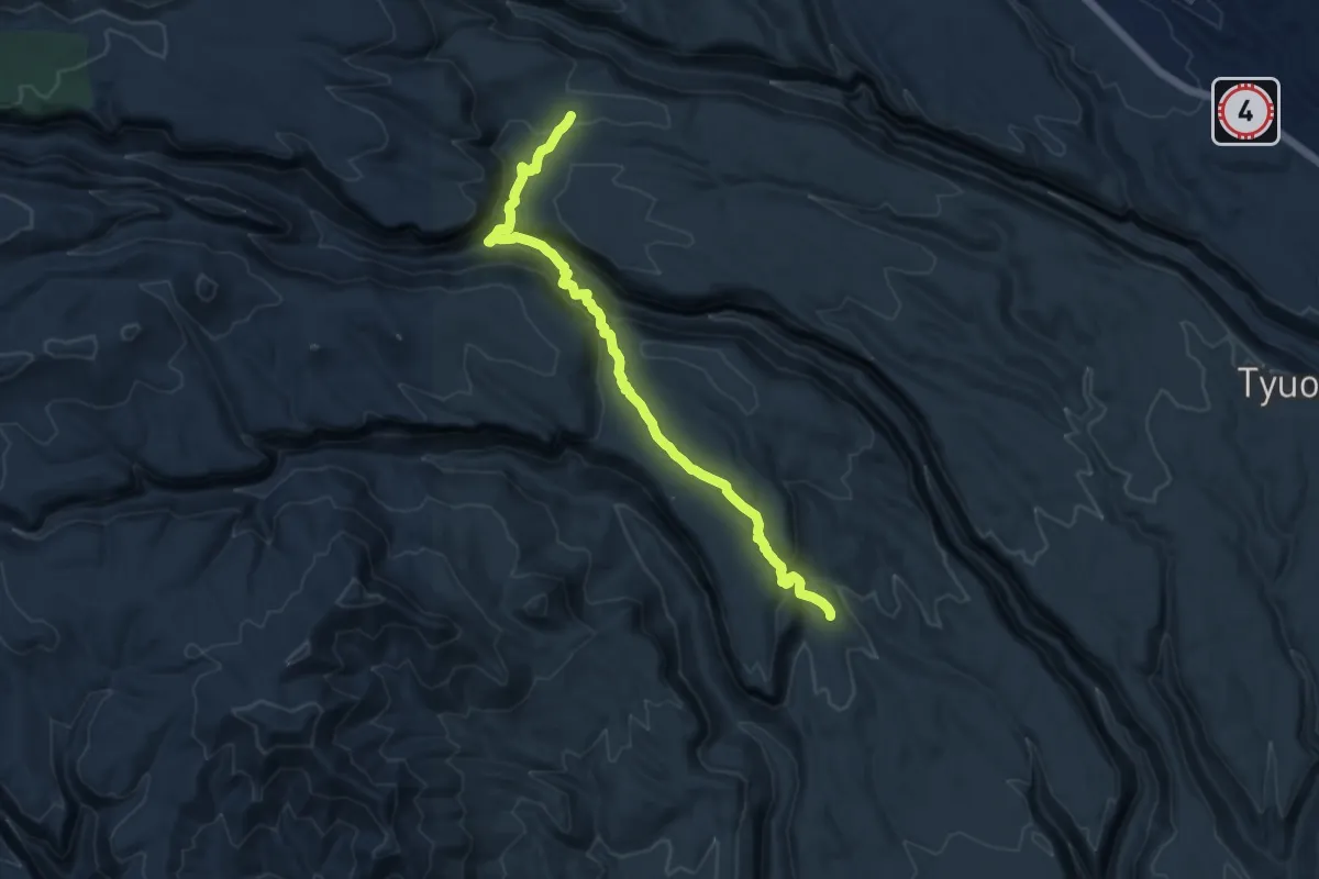
Medium · Trail
Upper Alamo Trail
12.4 km · ↑ 617 m · 4 h 15 min
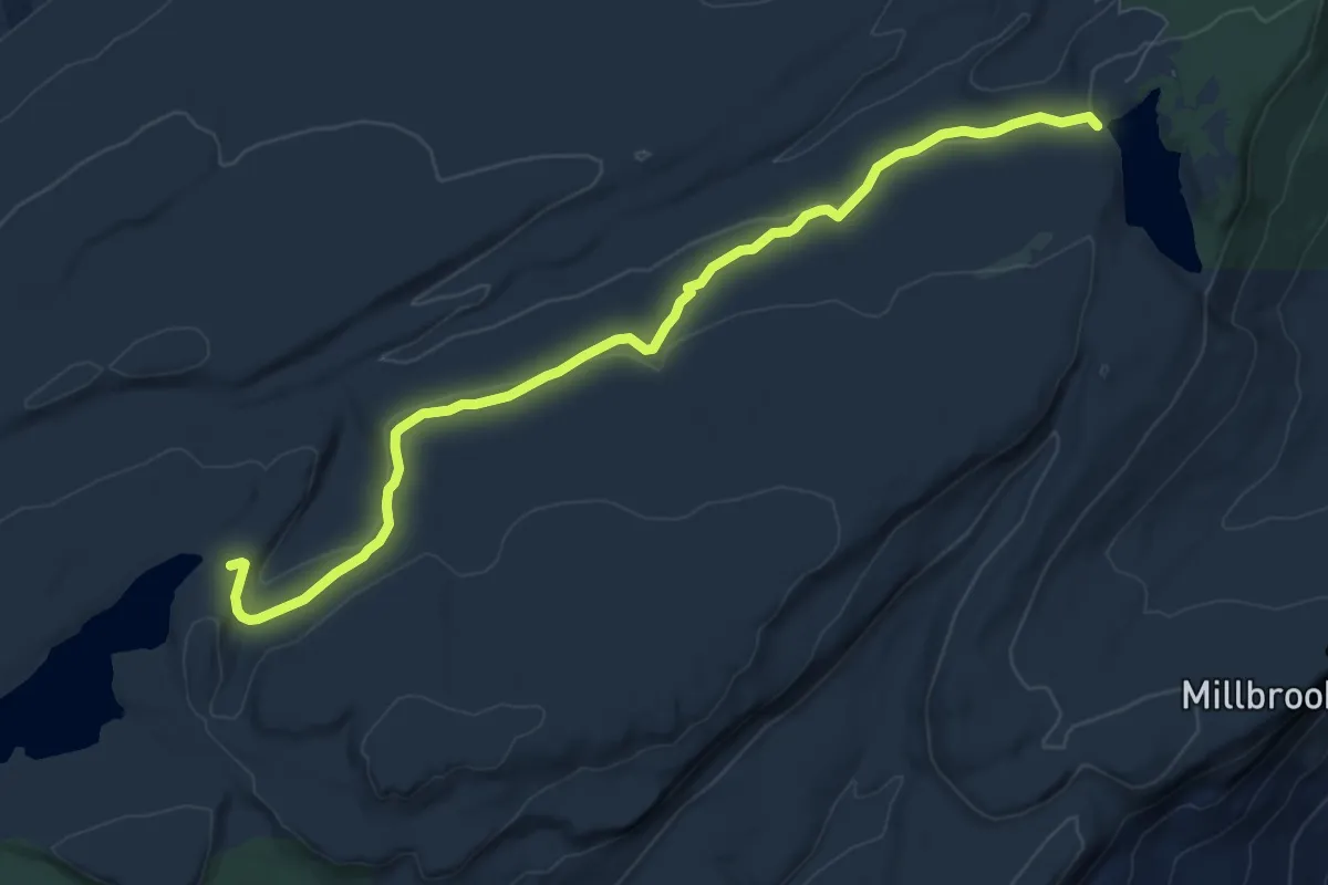
Medium · Trail
Upper Awosting Carriageway
9.7 km · ↑ 102 m · 2 h 31 min
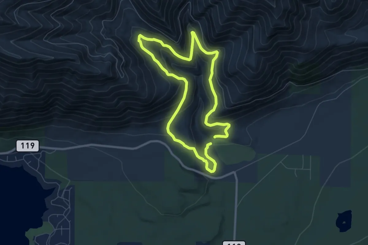
Easy · Trail
Upper Big Creek Loop Trail #827.1
6.4 km · ↑ 305 m · 2 h 15 min
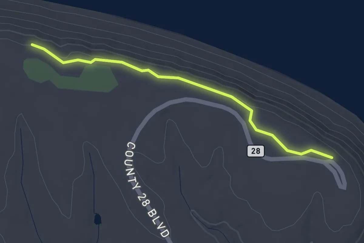
Easy · Trail
Upper Bluffside Trail
3.0 km · ↑ 37 m · 47 min
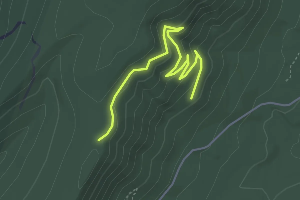
Easy · Trail
Upper Boy Scout
4.2 km · ↑ 126 m · 1 h 16 min
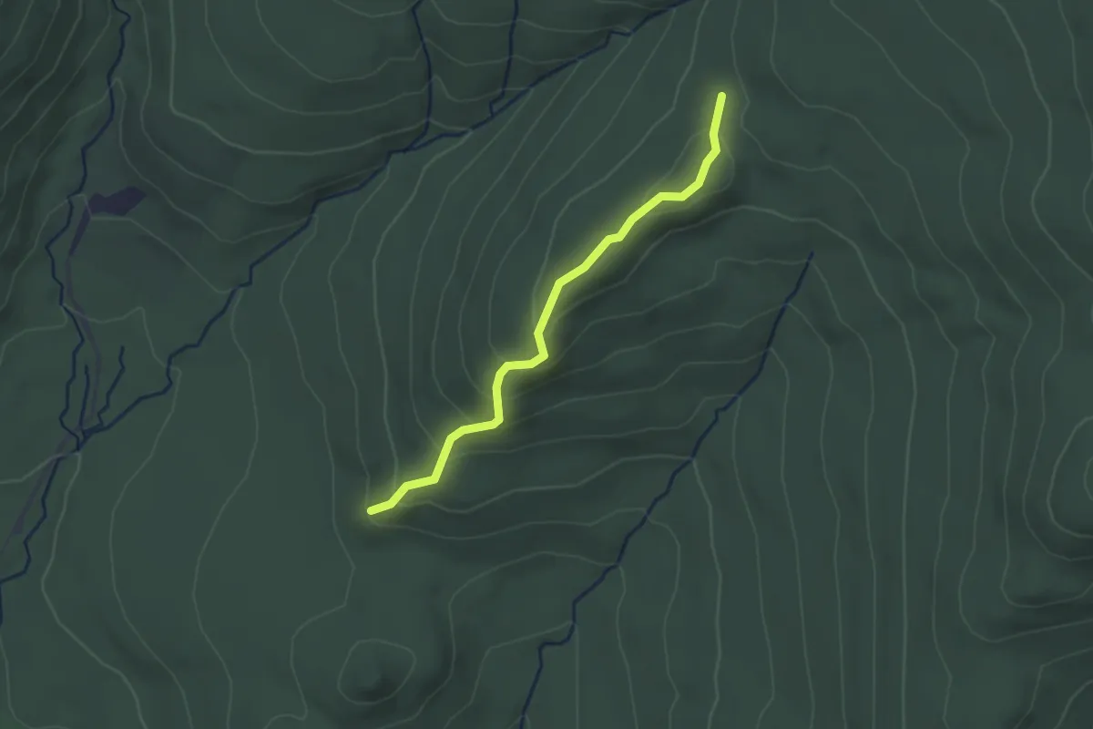
Easy · Trail
Upper Bridle Path
2.5 km · ↑ 149 m · 54 min
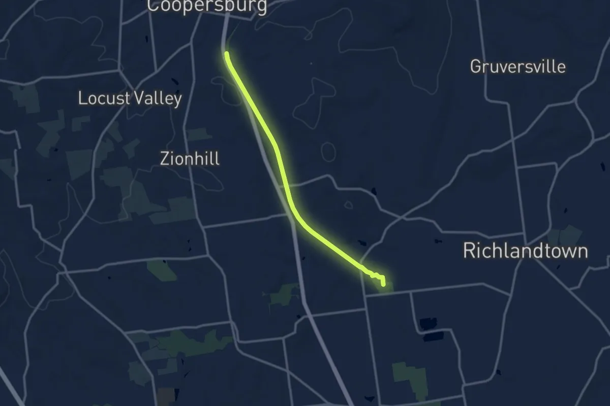
Medium · Trail
Upper Bucks Rail Trail
10.9 km · ↑ 53 m · 2 h 42 min
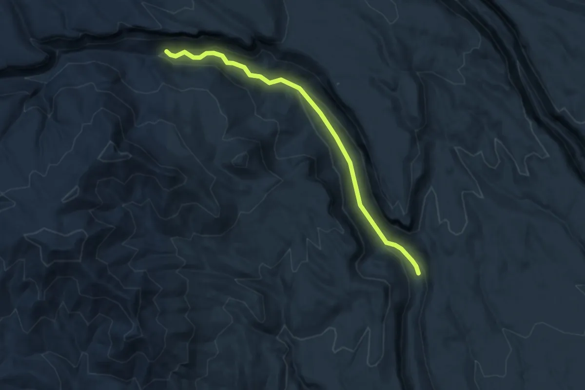
Medium · Trail
Upper Capulin Trail
8.5 km · ↑ 217 m · 2 h 28 min
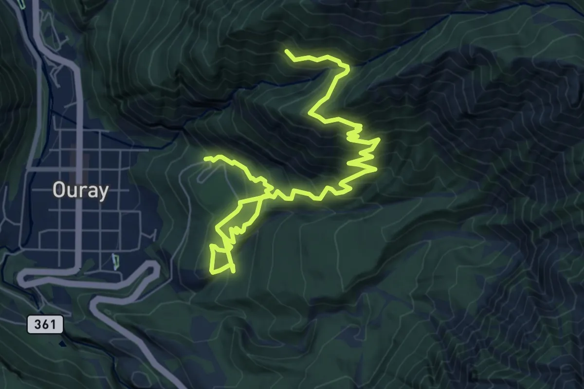
Demanding · Trail
Upper Cascade Falls Trail
10.6 km · ↑ 857 m · 4 h 21 min
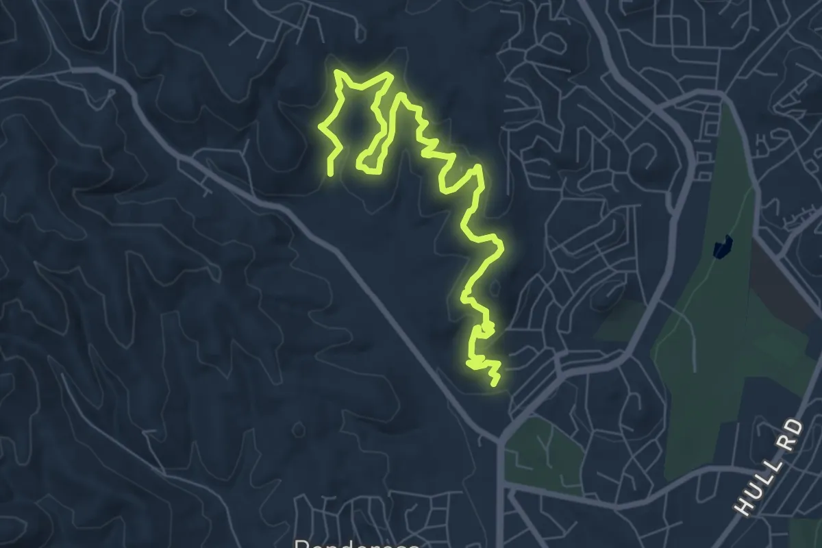
Medium · Trail
Upper Cedar Creek Trail
11.0 km · ↑ 254 m · 3 h 9 min
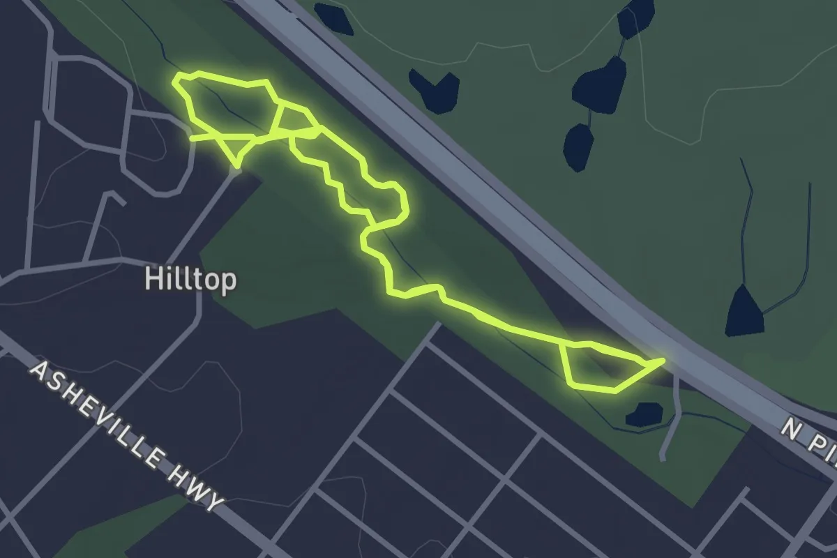
Medium · Trail
Upper Chinquapin Greenway
9.6 km · ↑ 58 m · 2 h 24 min
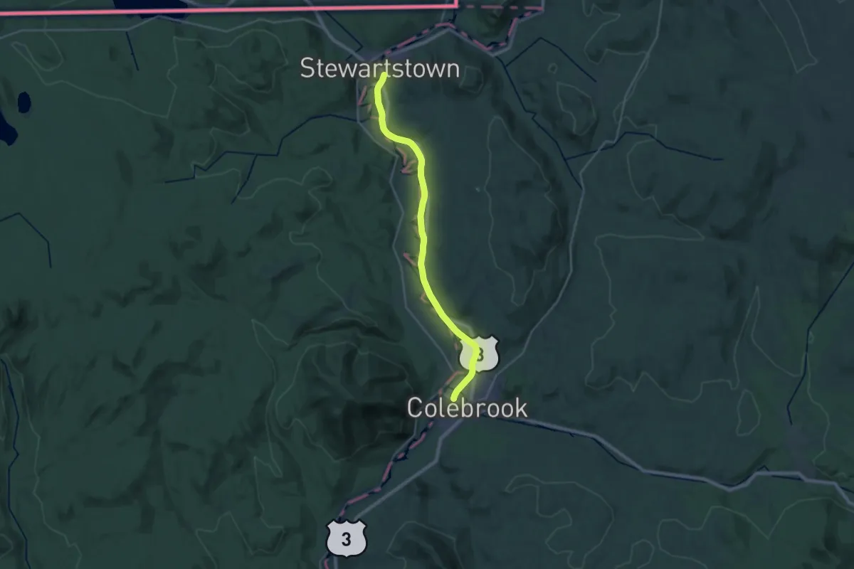
Demanding · Trail
Upper Coos Recreational Rail Trail
24.7 km · ↑ 51 m · 5 h 57 min
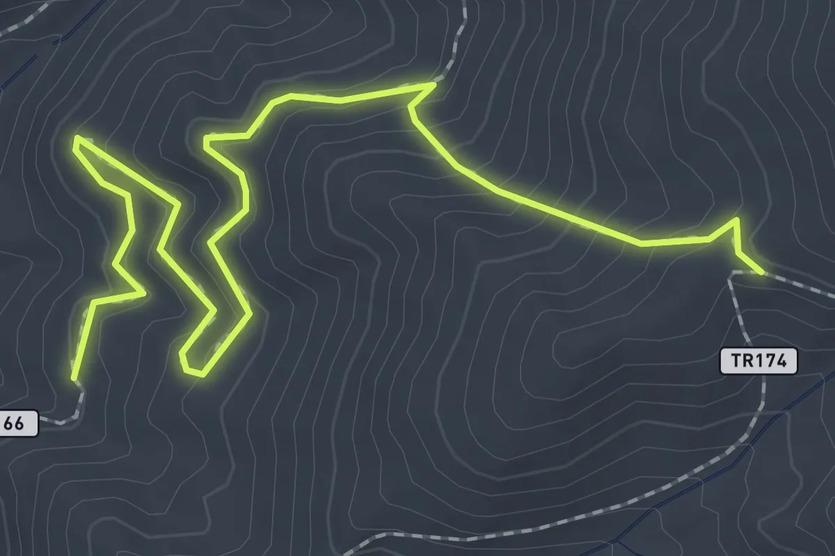
Easy · Trail
Upper Corner Rock Creek Trail
3.3 km · ↑ 228 m · 1 h 17 min
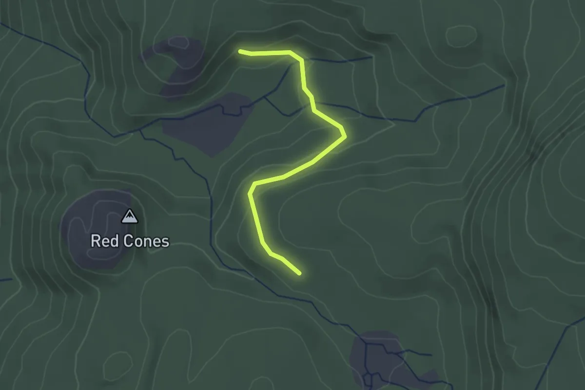
Easy · Trail
Upper Crater Meadows Trail
2.5 km · ↑ 87 m · 47 min
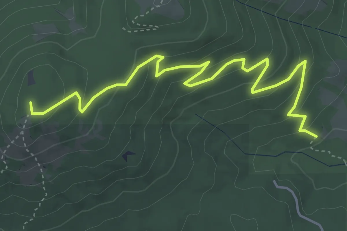
Easy · Summit
Upper Dan's Trail
5.0 km · ↑ 260 m · 1 h 45 min
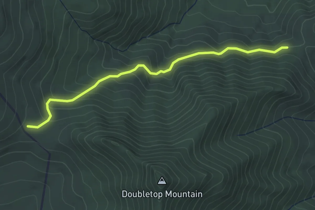
Easy · Trail
Upper Dark Hollow Trail
4.6 km · ↑ 260 m · 1 h 40 min
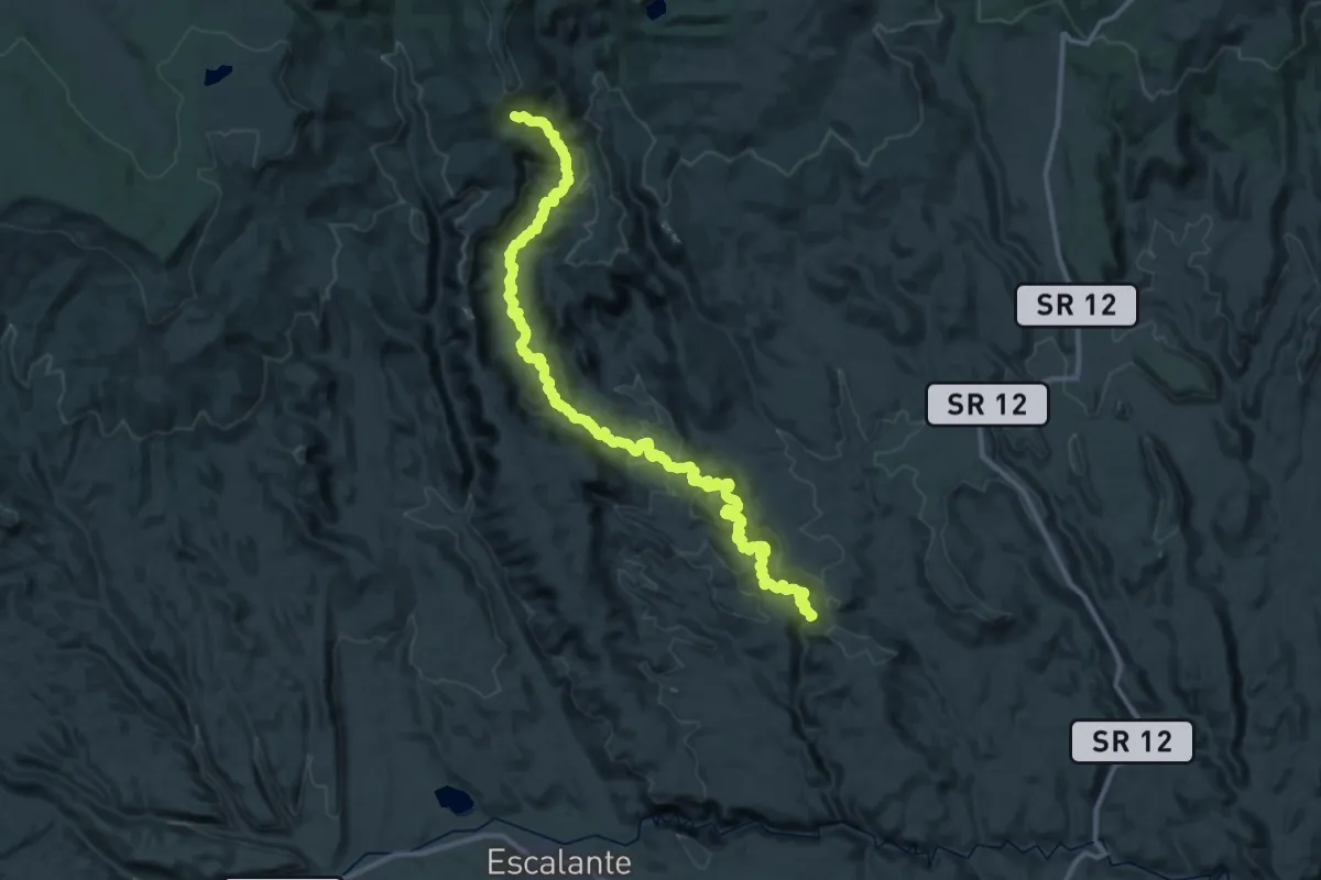
Demanding · Trail
Upper Death Hollow
29.1 km · ↑ 703 m · 9 h 18 min
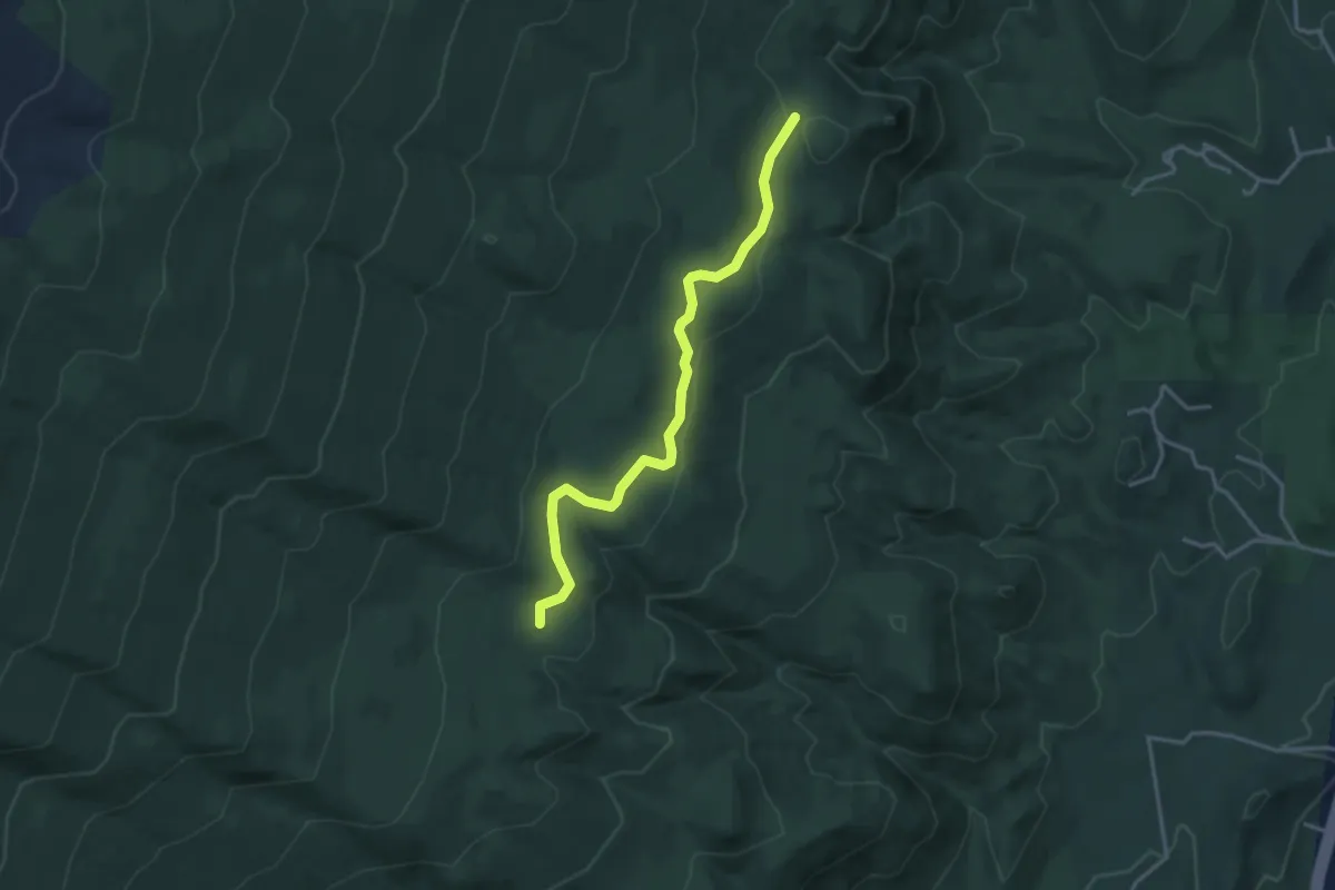
Medium · Trail
Upper Faulty Trail
4.1 km · ↑ 66 m · 1 h 6 min
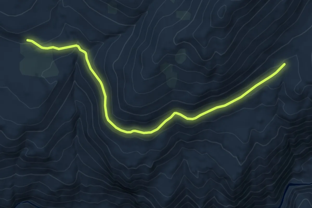
Medium · Trail
Upper French Trail
10.8 km · ↑ 293 m · 3 h 12 min
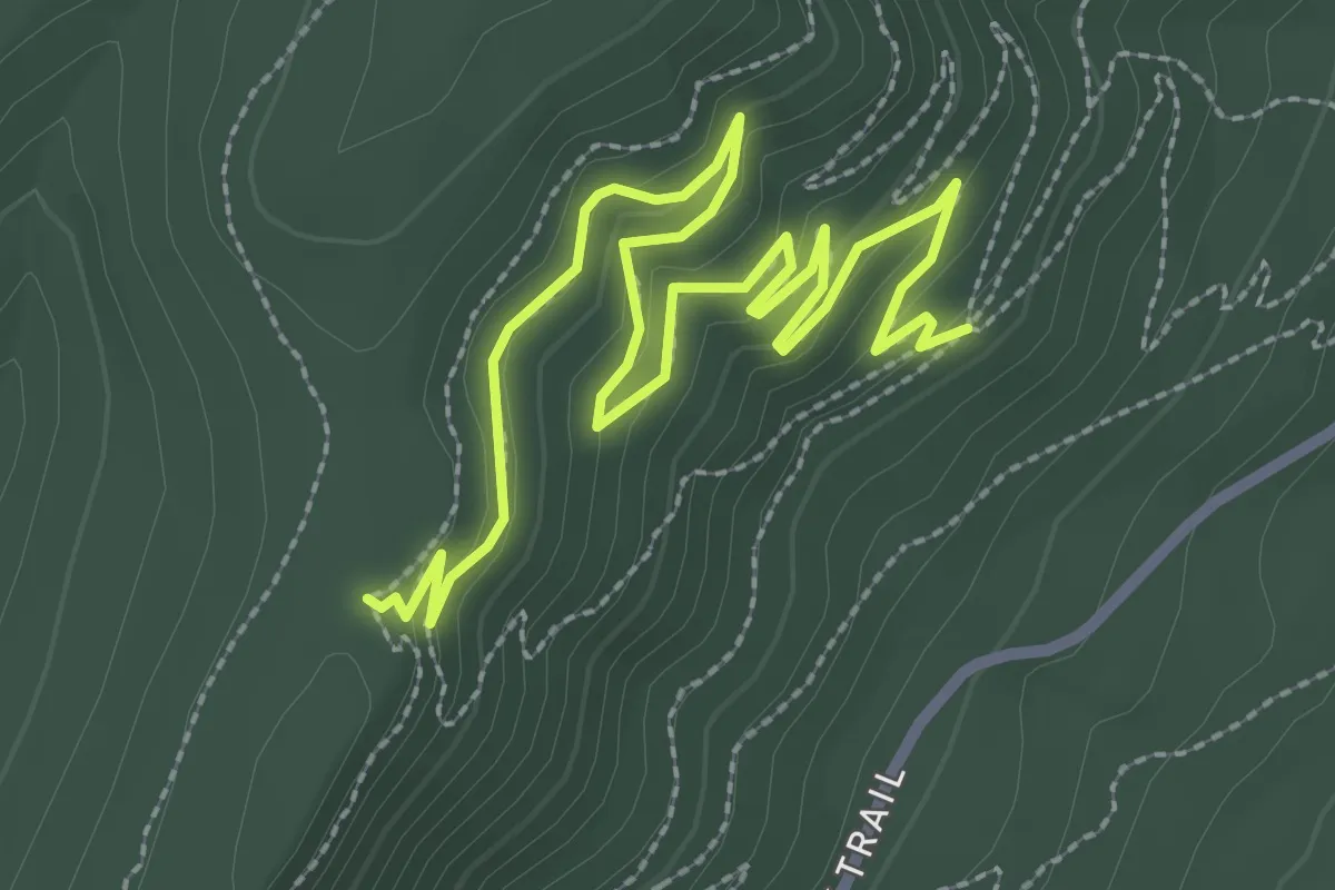
Easy · Trail
Upper Giddy-Up
4.3 km · ↑ 147 m · 1 h 20 min
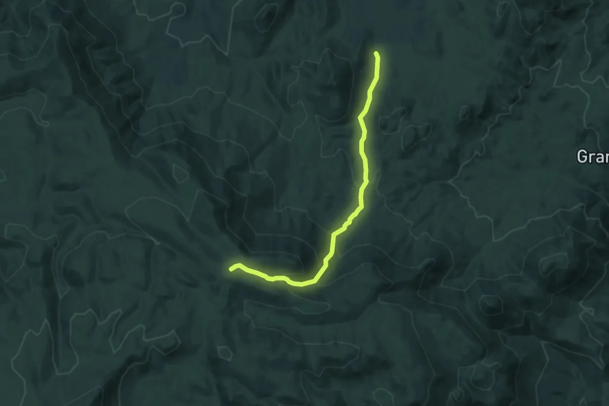
Medium · Trail
Upper Grant's Ranch Trail
7.0 km · ↑ 434 m · 2 h 36 min
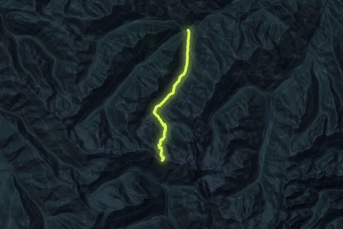
Demanding · Trail
Upper Gray Wolf River Trail
14.2 km · ↑ 1336 m · 5 h 49 min
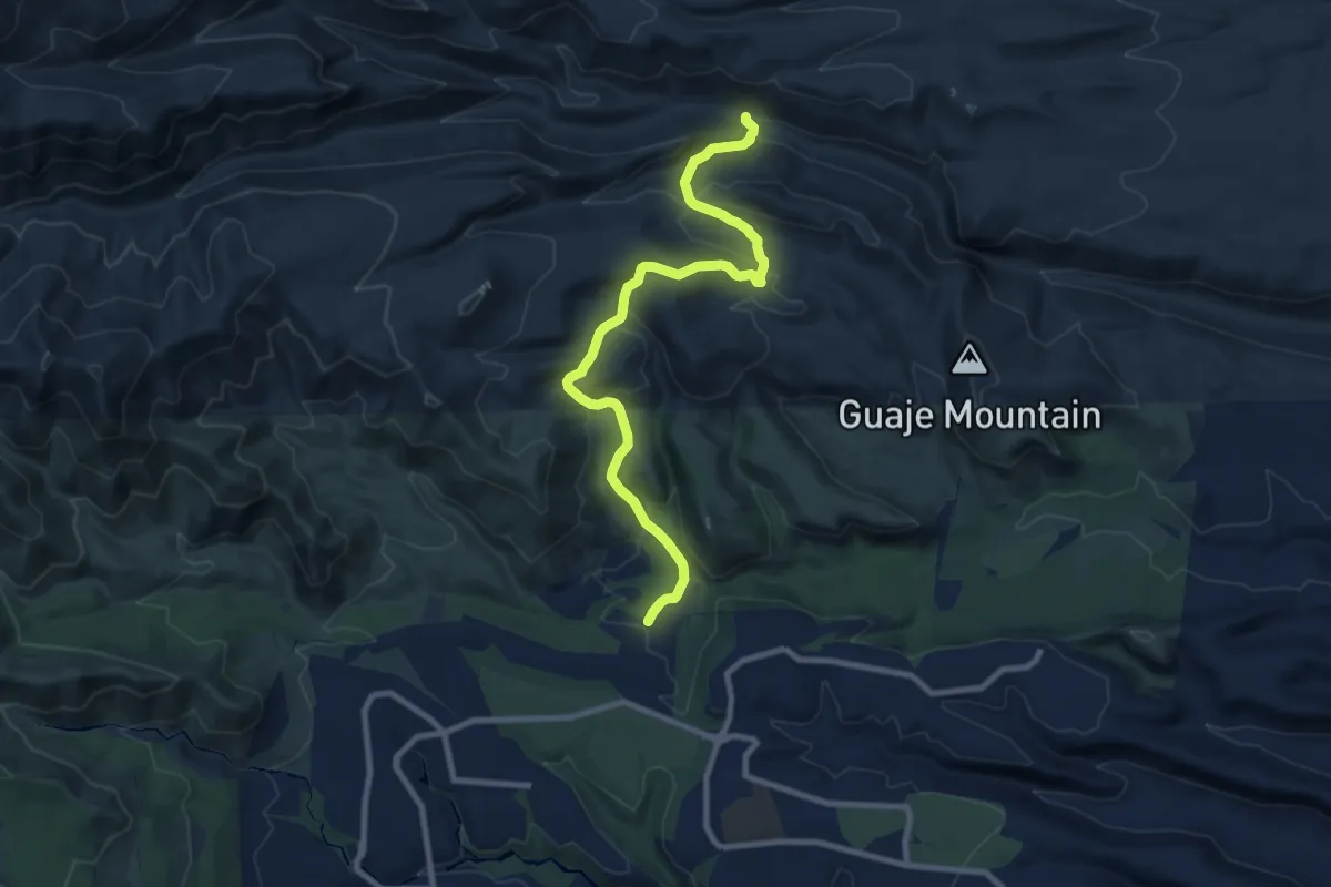
Medium · Trail
Upper Guaje Trail
11.4 km · ↑ 505 m · 3 h 47 min
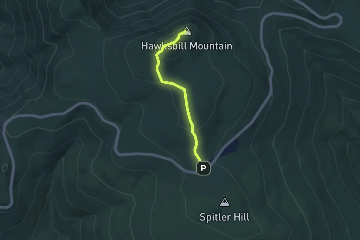
Medium · Summit
Upper Hawksbill Trail
3.4 km · ↑ 139 m · 1 h 6 min
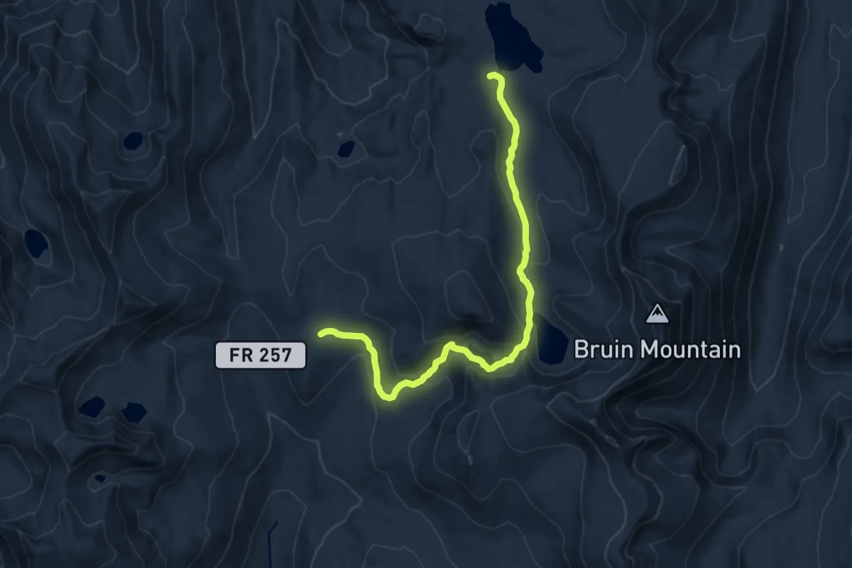
Medium · Trail
Upper Hazard/Hard Creek Basin Trail
13.1 km · ↑ 378 m · 3 h 55 min
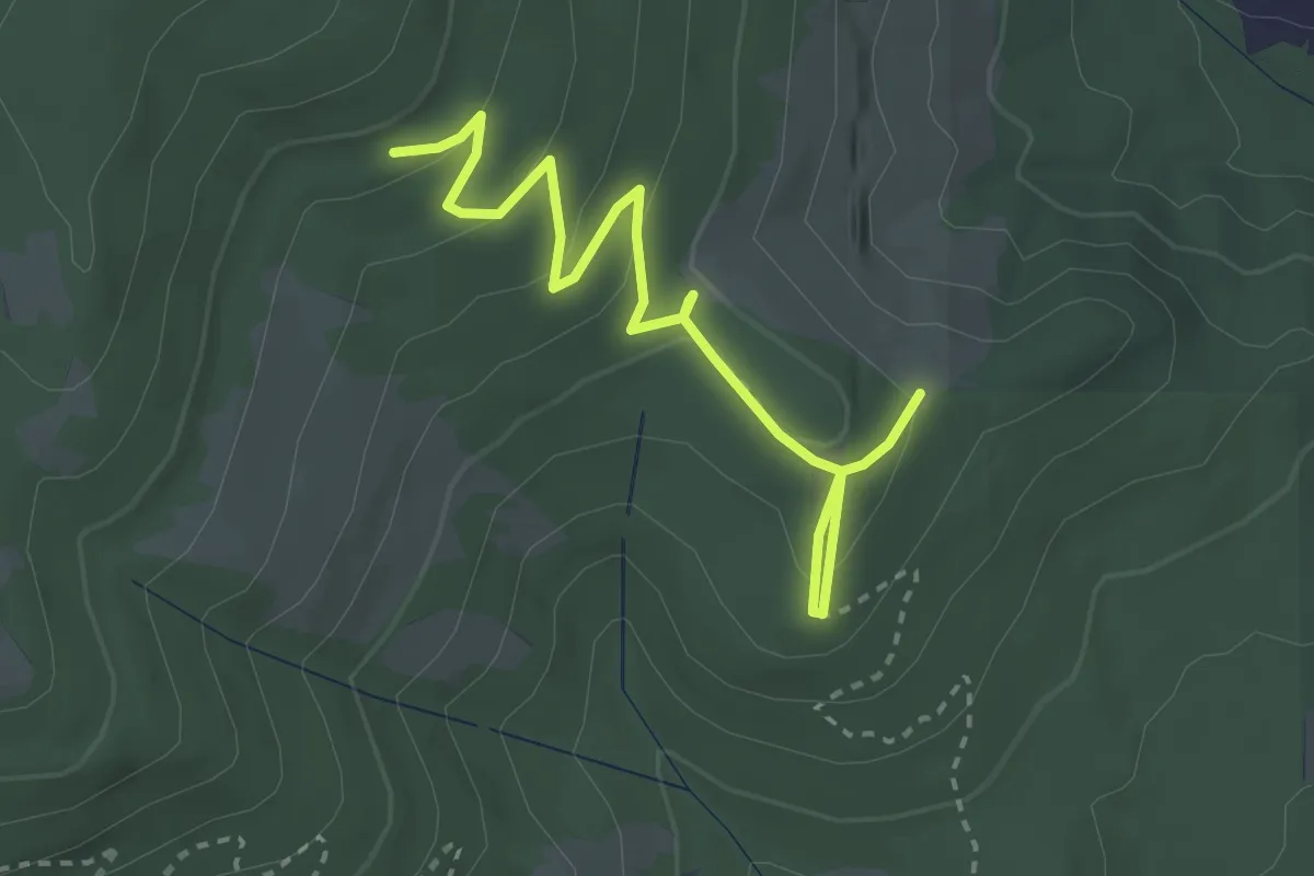
Easy · Trail
Upper Horse Trail
3.5 km · ↑ 148 m · 1 h 8 min
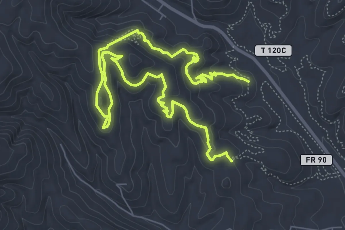
Medium · Trail
Upper Jerryatrics Trail
11.5 km · ↑ 326 m · 3 h 26 min
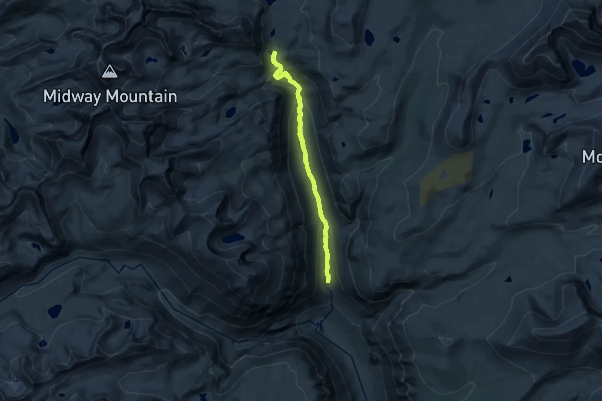
Medium · Trail
Upper Kern Canyon Trail
14.8 km · ↑ 587 m · 4 h 46 min
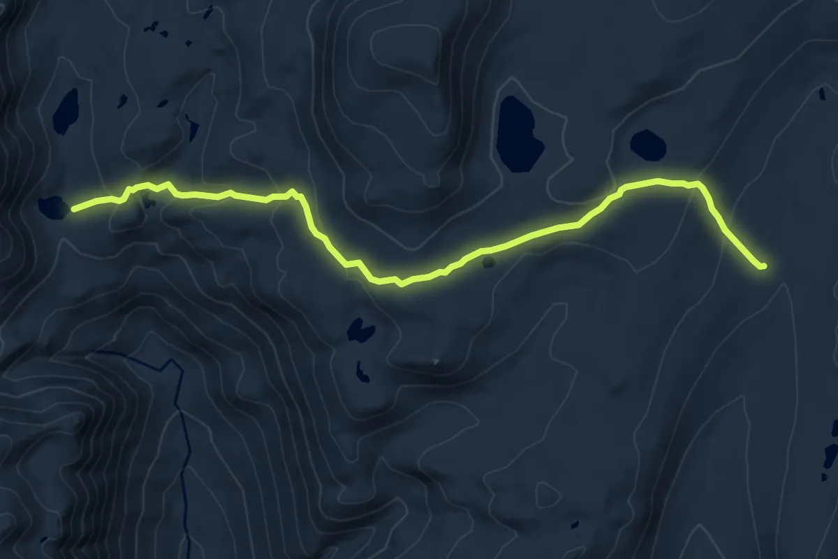
Medium · Trail
Upper Kern - Tyndall Cutoff
9.7 km · ↑ 454 m · 3 h 16 min
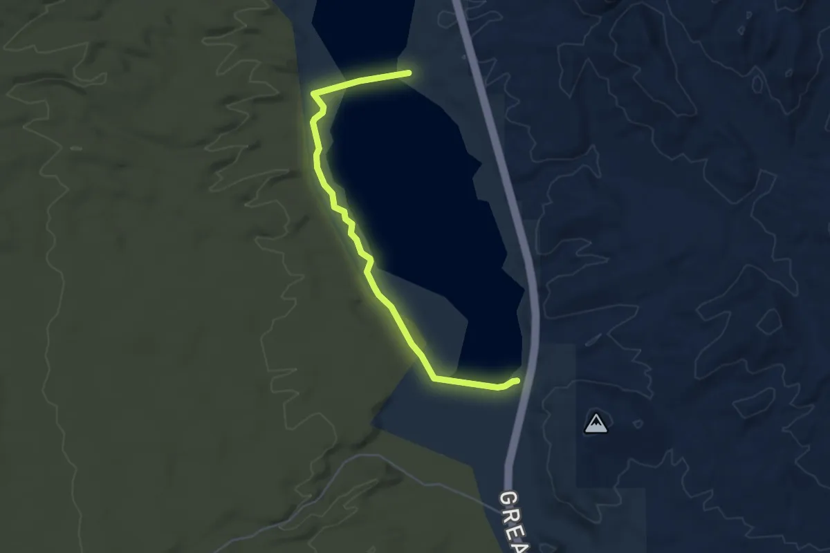
Easy · Trail
Upper Lake Trail
5.9 km · ↑ 38 m · 1 h 28 min
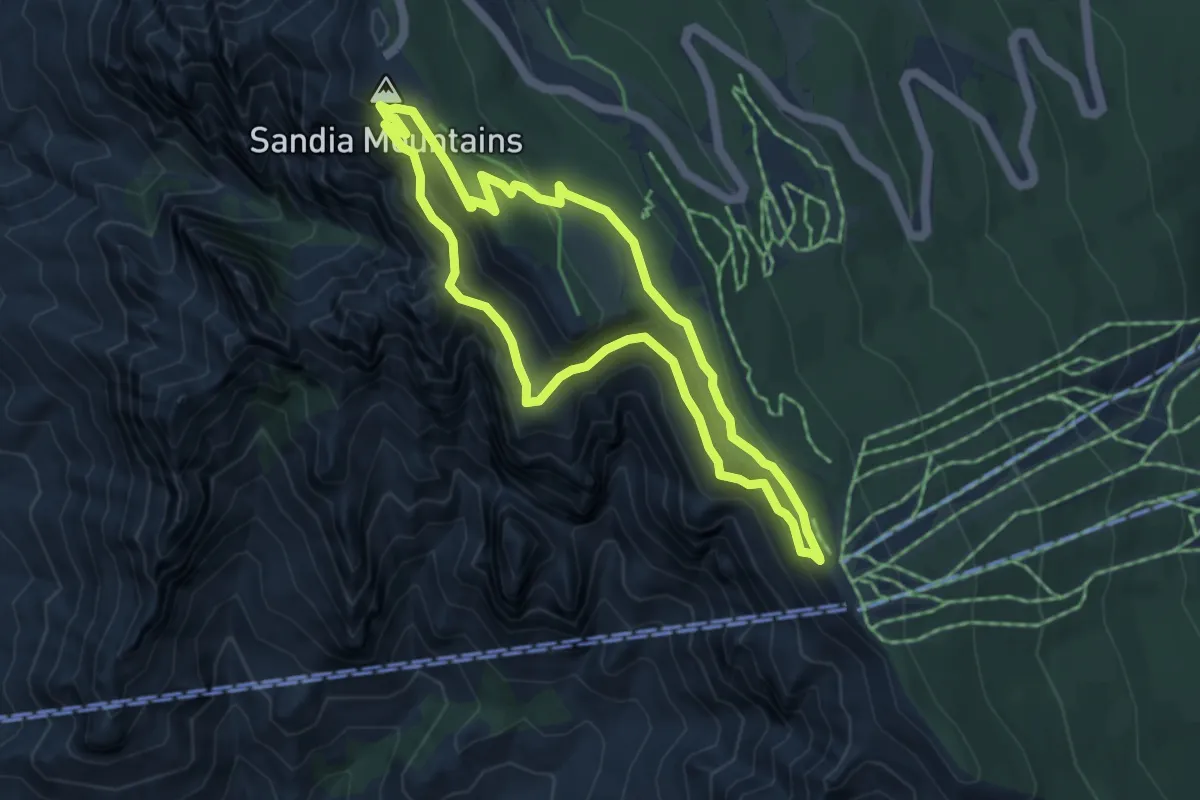
Demanding · Summit
Upper La Luz, Crest House Spur, Crest Loop Route
5.1 km · ↑ 270 m · 1 h 52 min
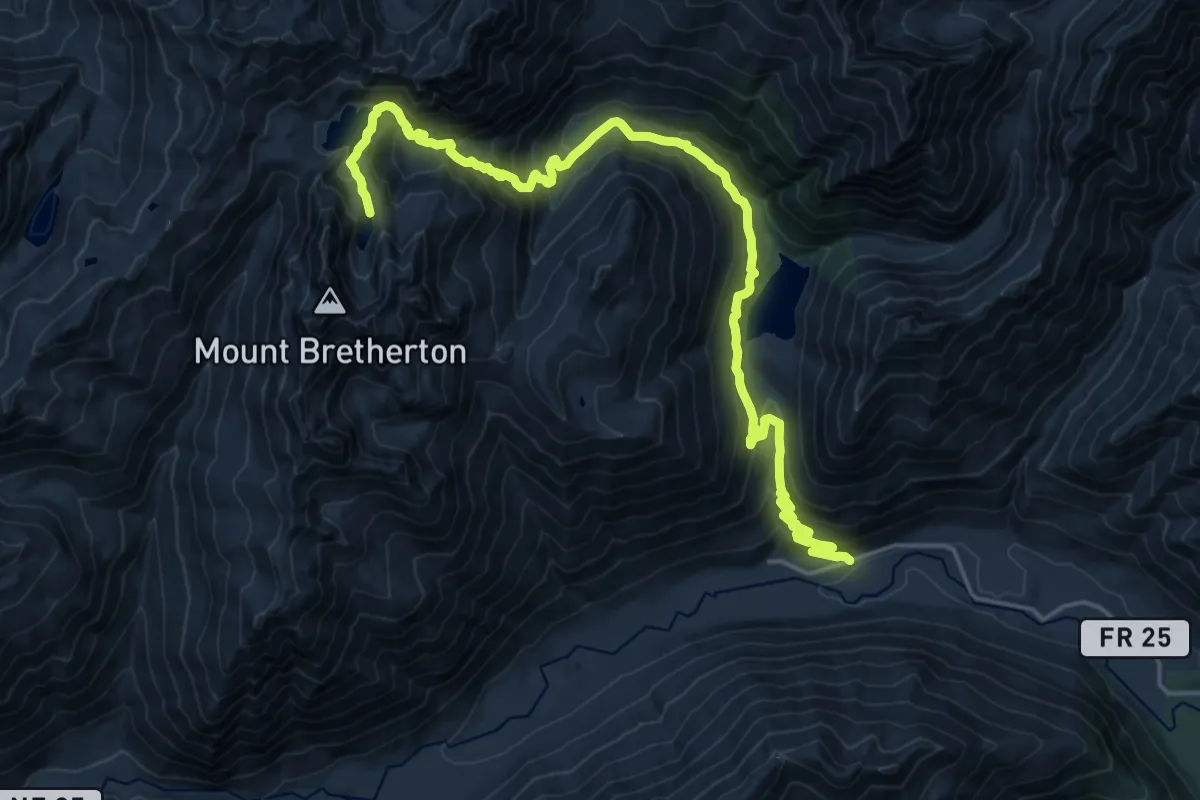
Expert · Trail
Upper Lena Lakes
10.9 km · ↑ 1467 m · 5 h 17 min
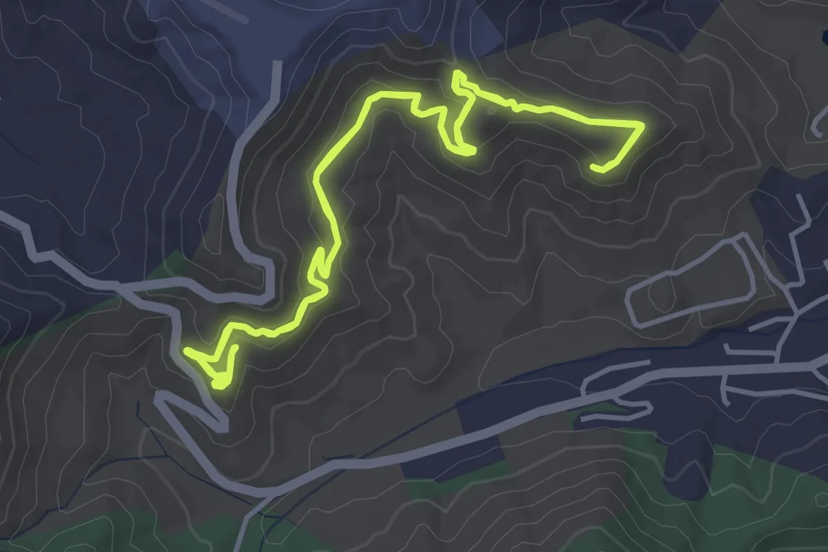
Easy · Trail
Upper Long Branch
5.2 km · ↑ 162 m · 1 h 39 min
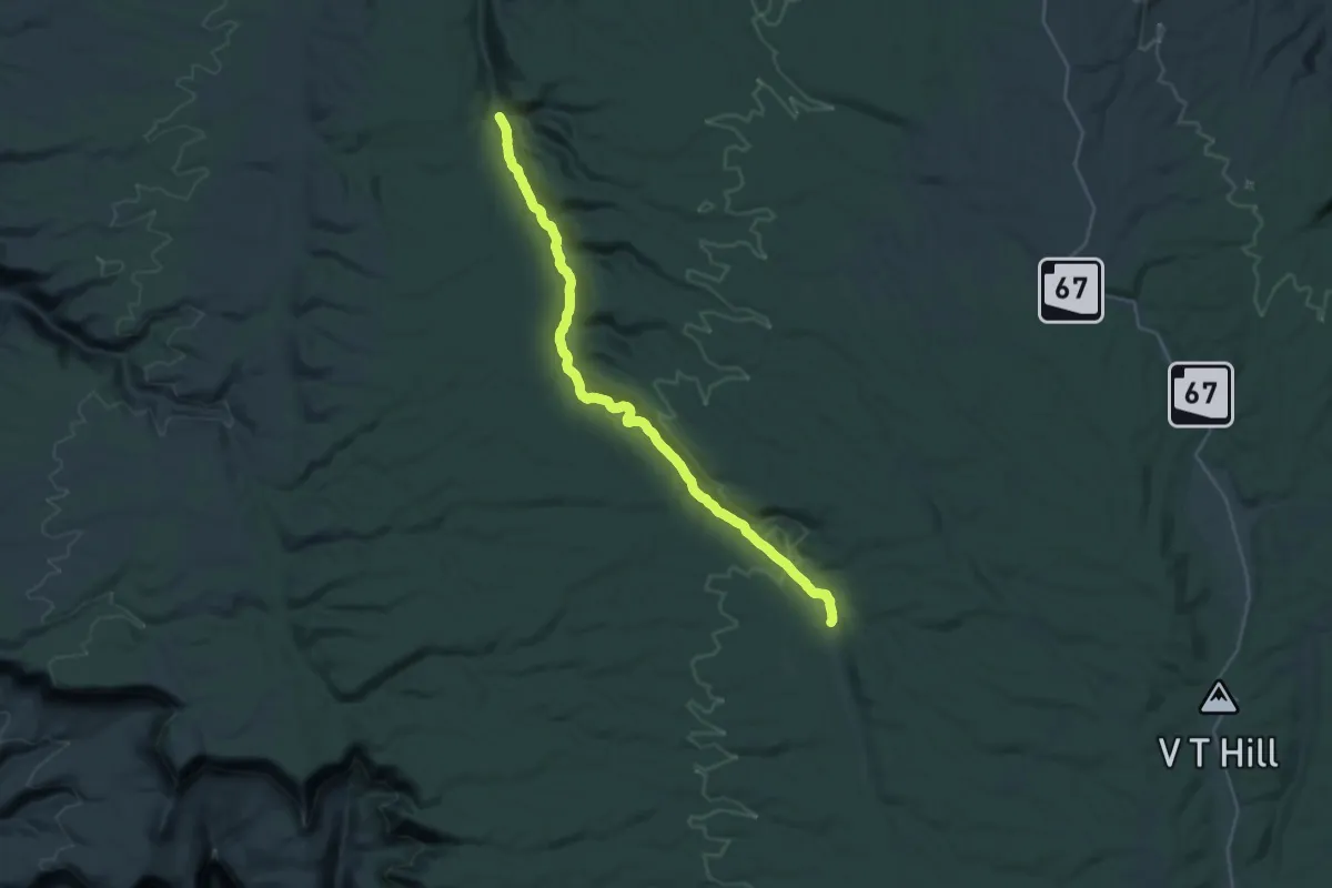
Demanding · Trail
Upper Lookout Canyon Trail #120
18.0 km · ↑ 15 m · 4 h 43 min
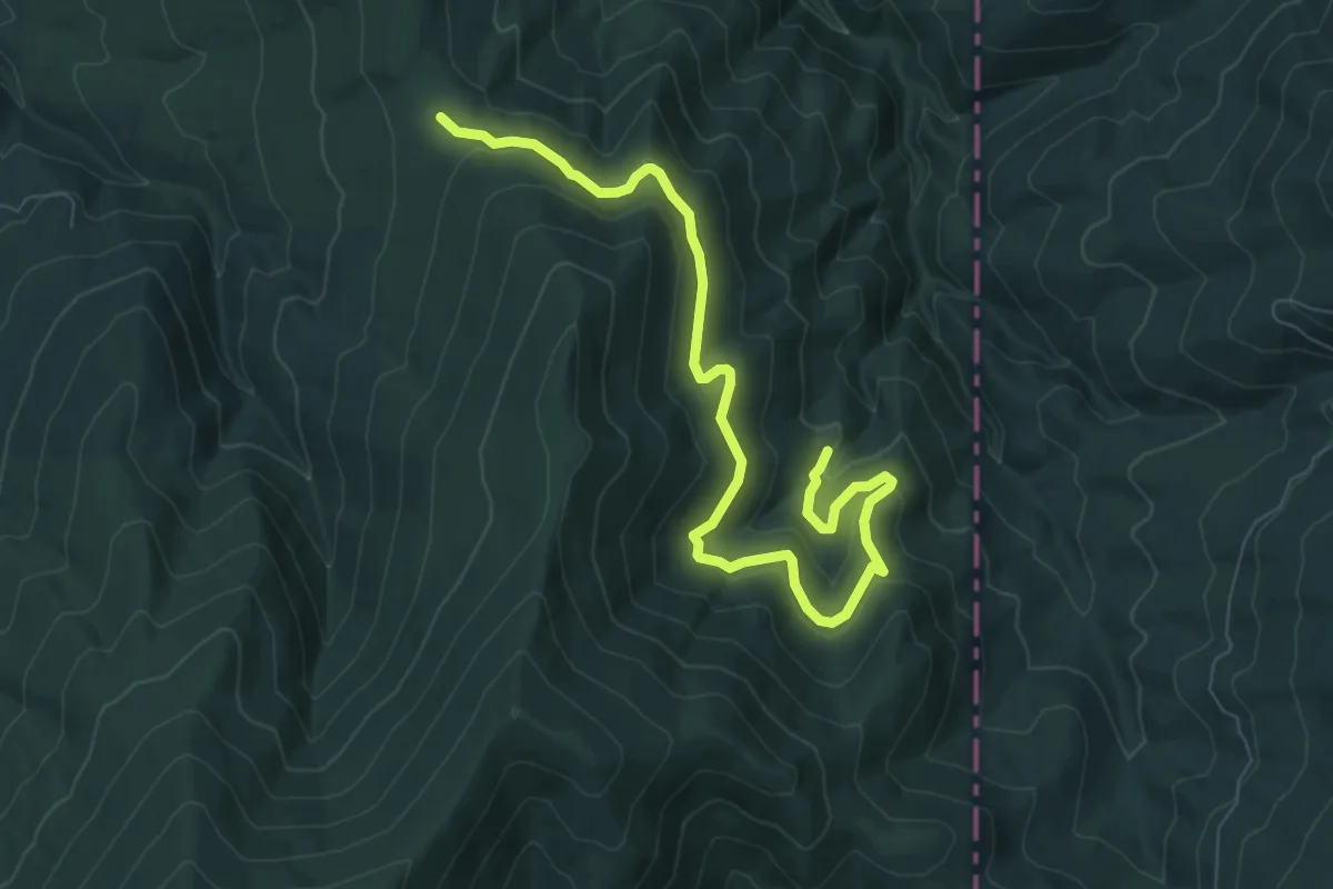
Medium · Trail
Upper Loop
8.7 km · ↑ 170 m · 2 h 25 min
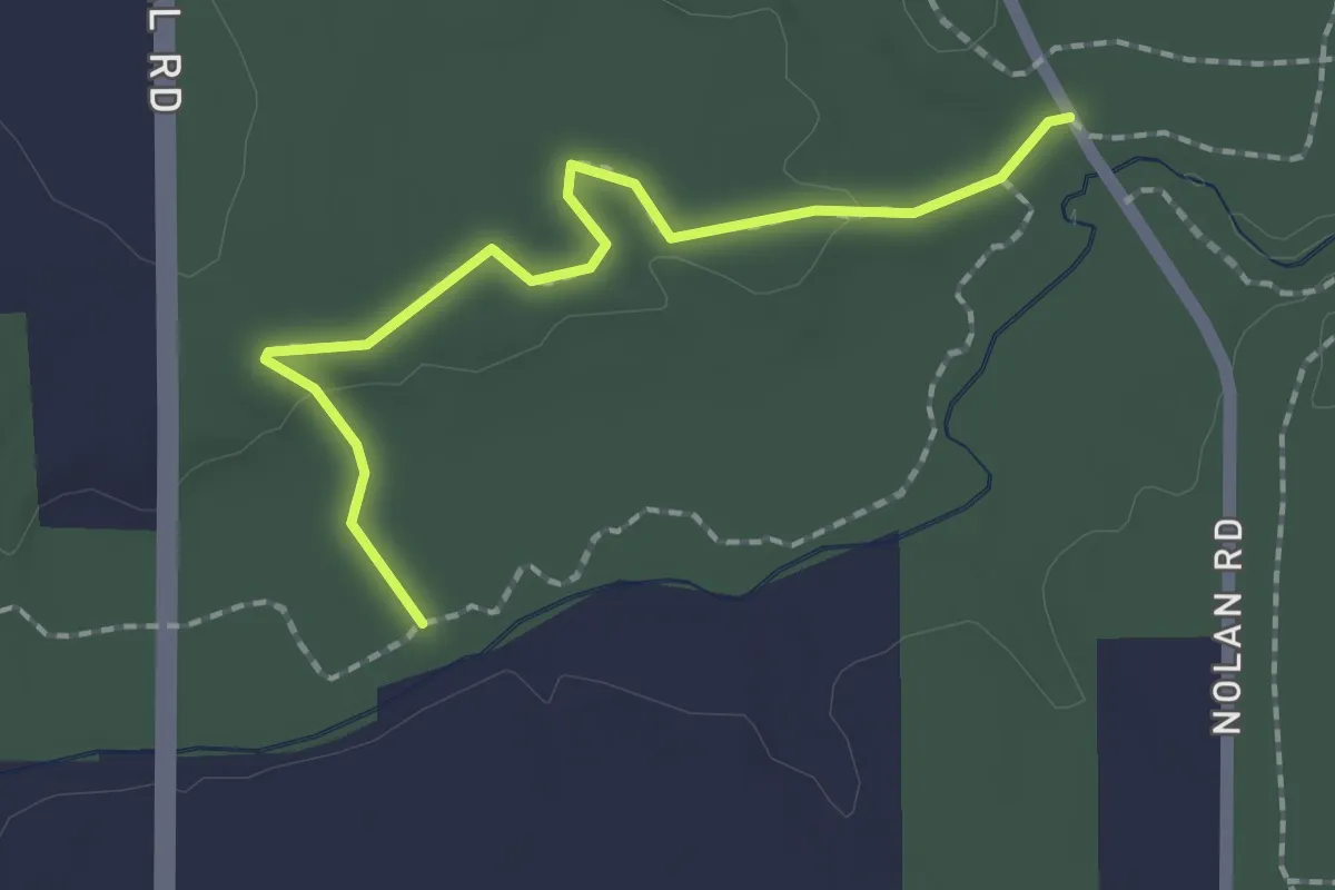
Easy · Trail
Upper Meadowlark Trail
2.1 km · ↑ 21 m · 33 min