Trails in United States
10,367 hiking trails, each with its route, climb, walking time and grade.
All trails, page 199 of 216
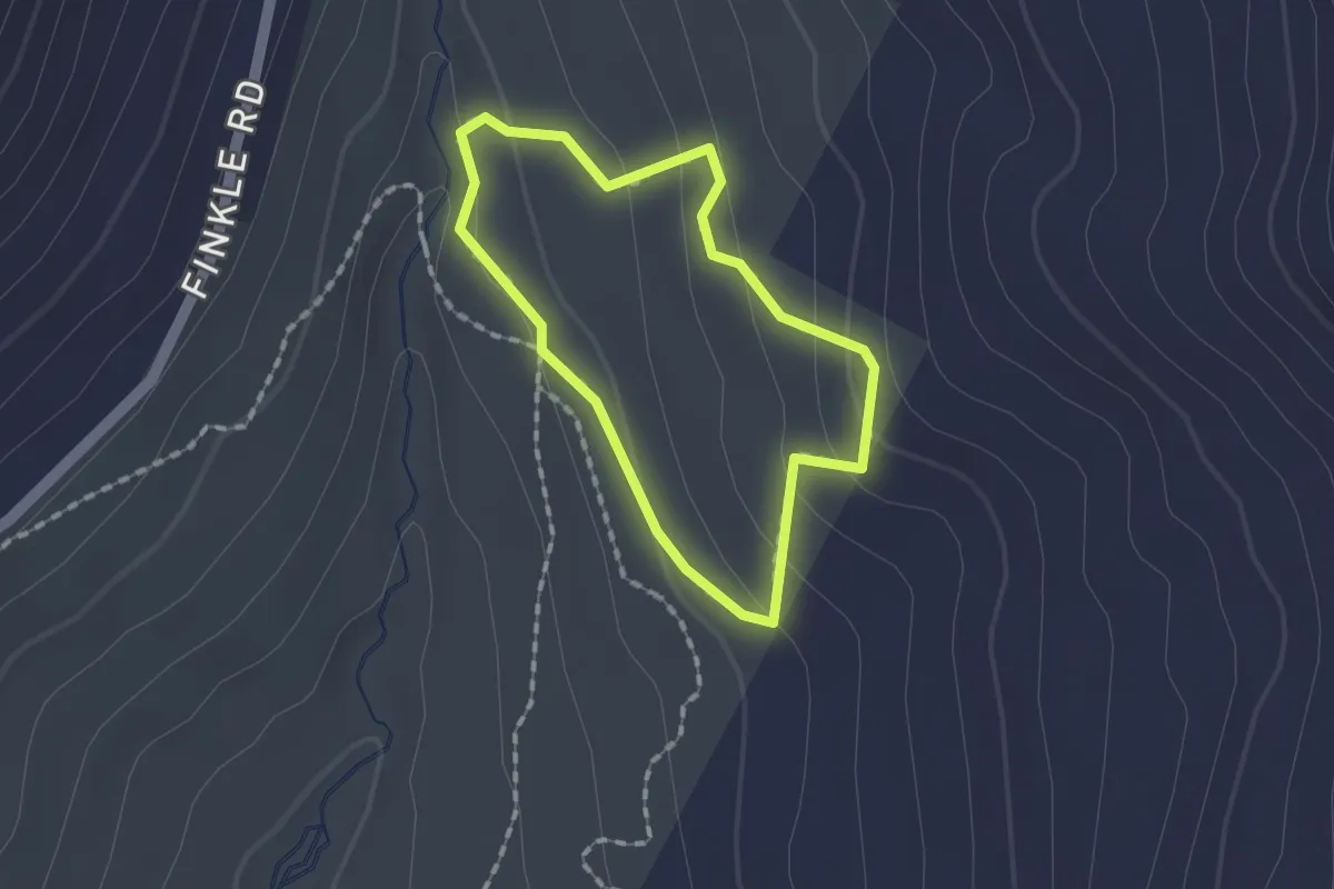
Easy · Trail
Upper Meadow Loop
1.4 km · ↑ 68 m · 29 min
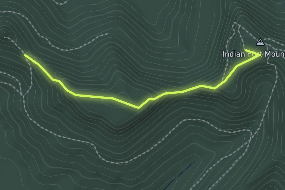
Easy · Summit
Upper Pinnacle Trail
2.1 km · ↑ 130 m · 46 min
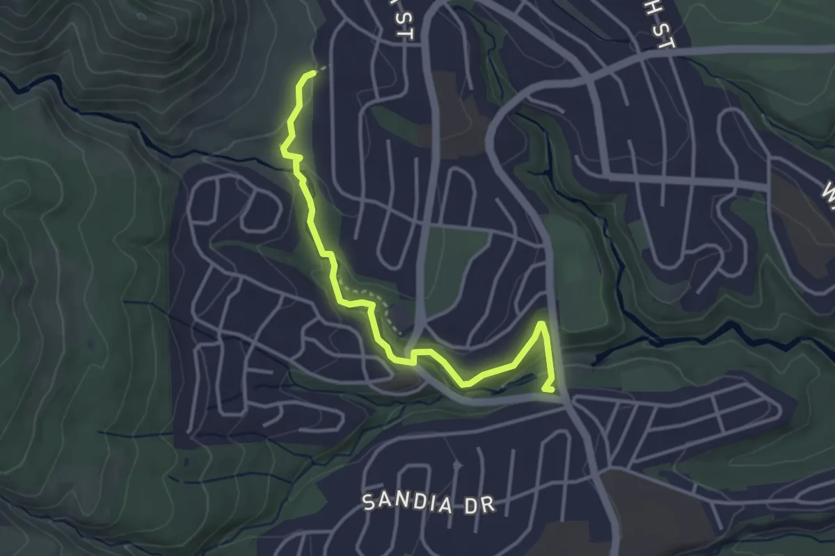
Medium · Trail
Upper Pueblo Trail
4.1 km · ↑ 128 m · 1 h 15 min
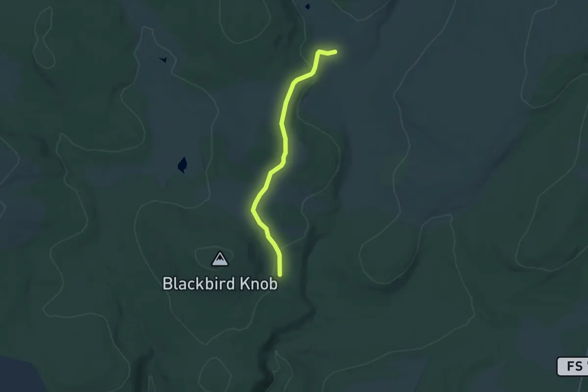
Easy · Trail
Upper Red Creek Trail
4.2 km · ↑ 74 m · 1 h 9 min
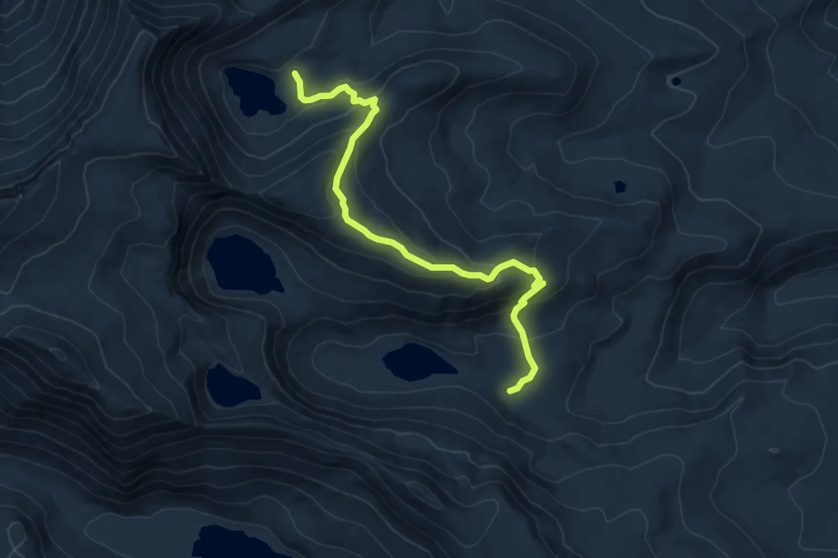
Medium · Trail
Upper Roaring Creek Trail
7.4 km · ↑ 444 m · 2 h 42 min
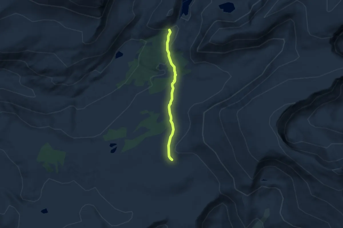
Easy · Trail
Upper Rock Creek Trail
5.2 km · ↑ 118 m · 1 h 28 min
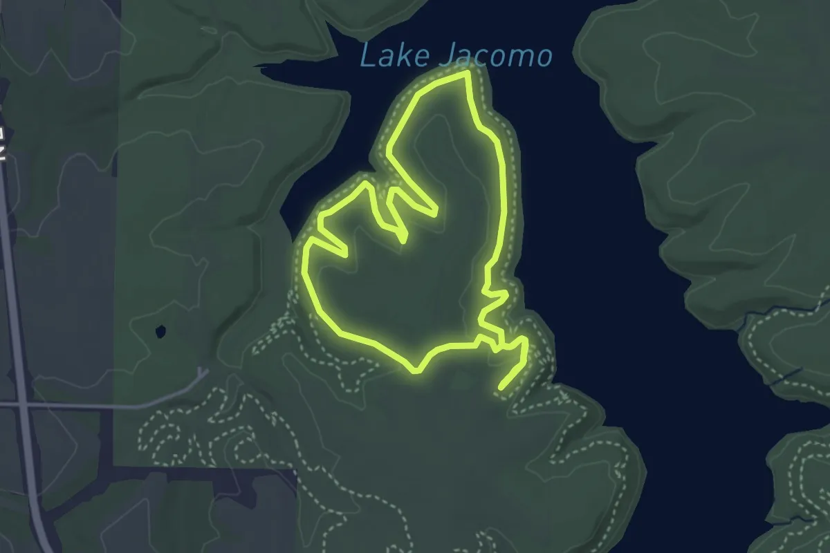
Easy · Trail
Upper Rock Ledges Loop
4.2 km · ↑ 42 m · 1 h 8 min
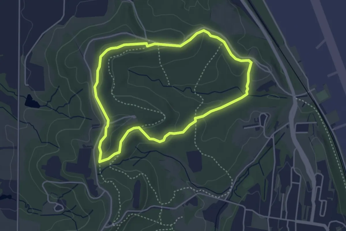
Easy · Summit
Upper Route
4.1 km · ↑ 88 m · 1 h 14 min
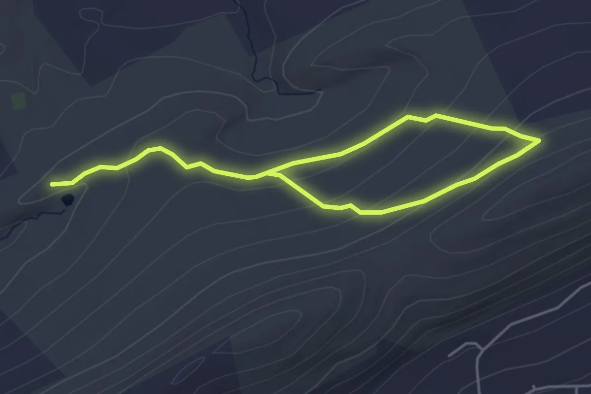
Easy · Trail
Upper Spring Trail
6.7 km · ↑ 200 m · 2 h
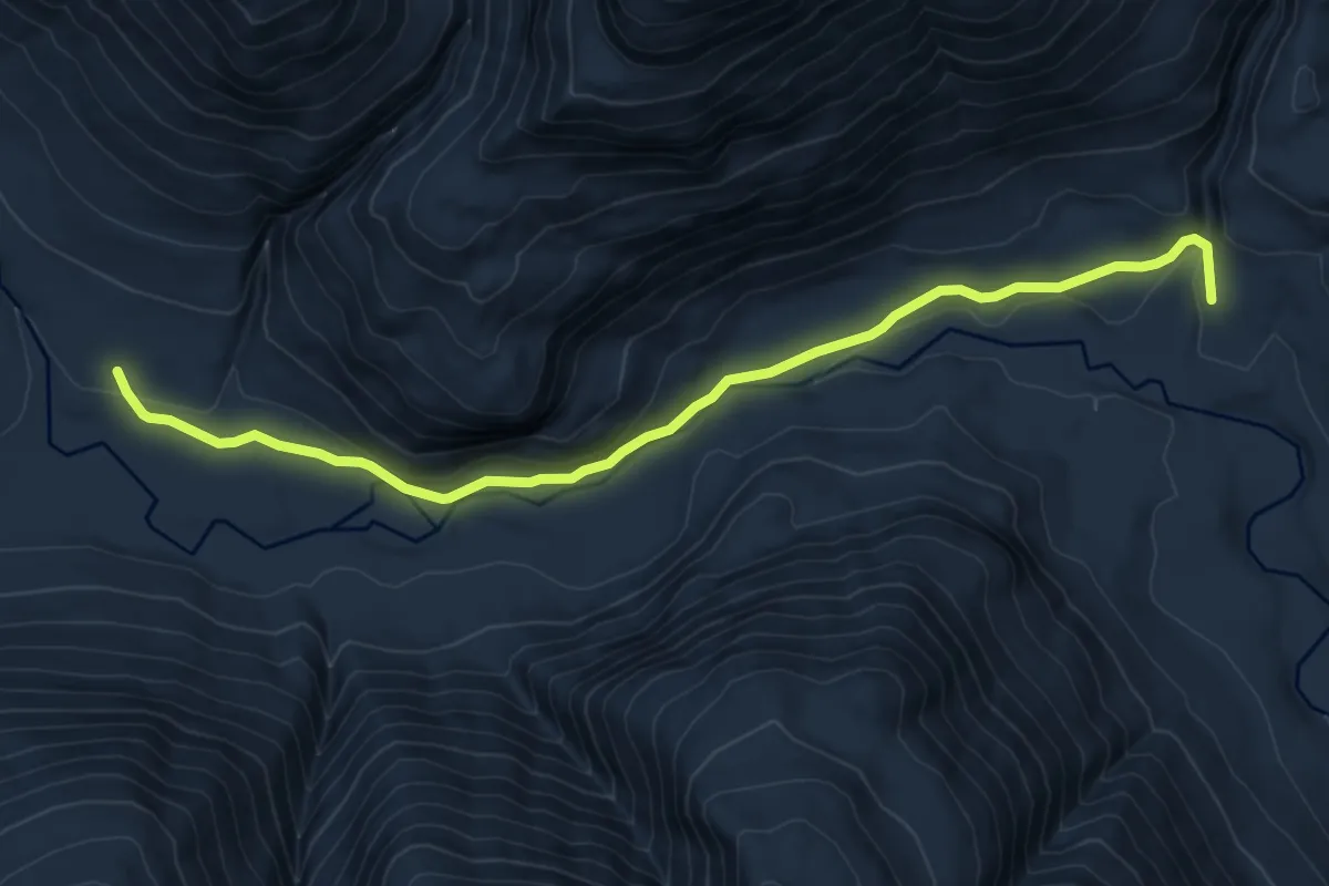
Medium · Trail
Upper Stehekin Valley Trail
8.3 km · ↑ 109 m · 2 h 11 min
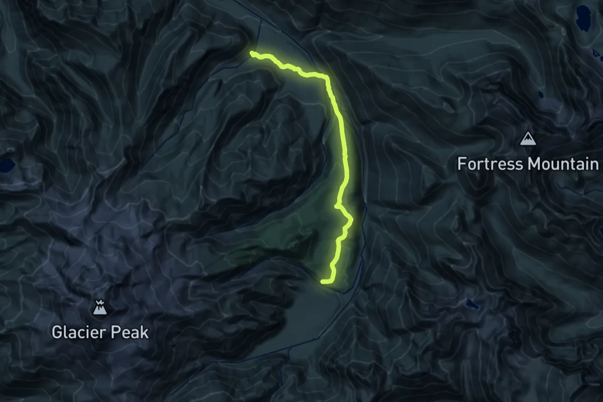
Demanding · Trail
Upper Suiattle River Trail
20.2 km · ↑ 710 m · 6 h 19 min
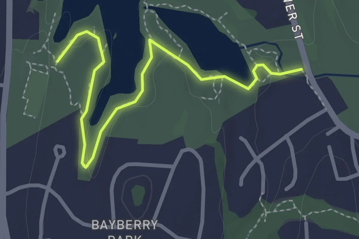
Easy · Trail
Upper Trail
2.7 km · ↑ 23 m · 41 min
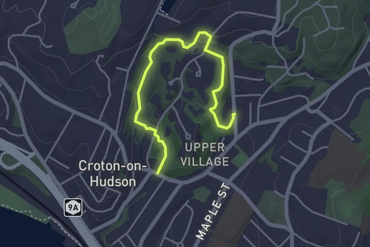
Easy · Trail
Upper Village Trail Loop
4.1 km · ↑ 151 m · 1 h 18 min
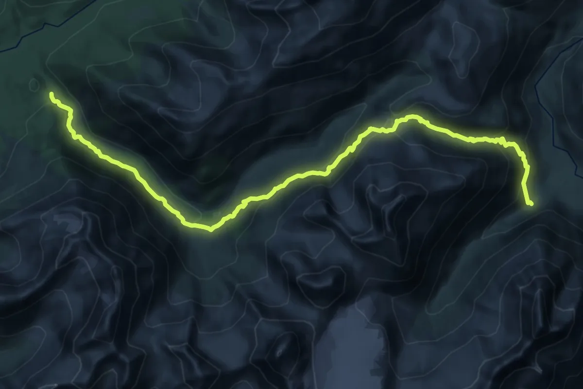
Medium · Trail
Upper Winner Creek Trail
12.8 km · ↑ 699 m · 4 h 42 min
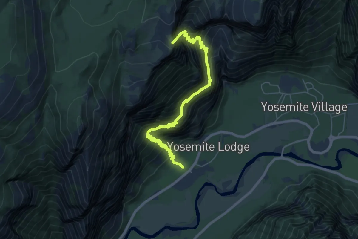
Demanding · Summit
Upper Yosemite Fall Trail
7.3 km · ↑ 1223 m · 4 h 23 min
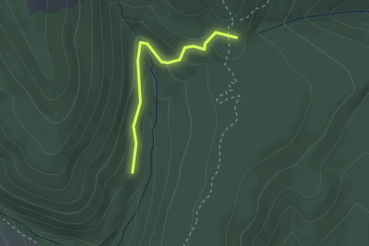
Easy · Trail
Uproute Trail
2.0 km · ↑ 82 m · 39 min
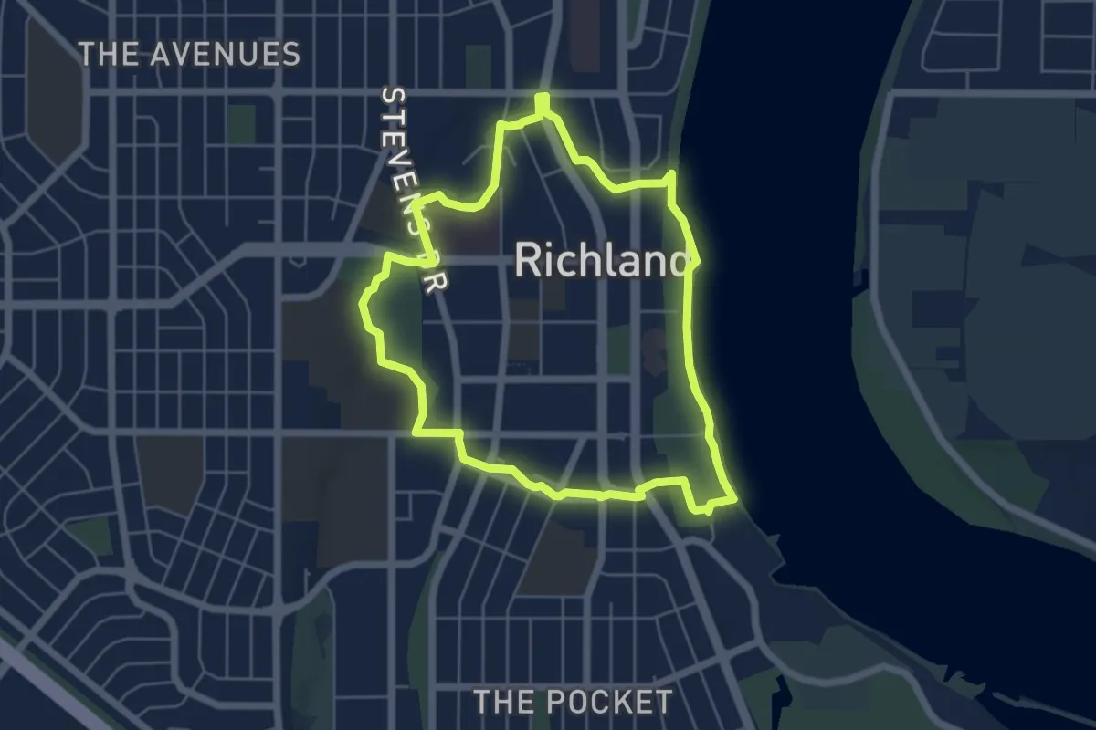
Easy · Trail
Urban Greenbelt Trail
5.2 km · ↑ 4 m · 1 h 19 min
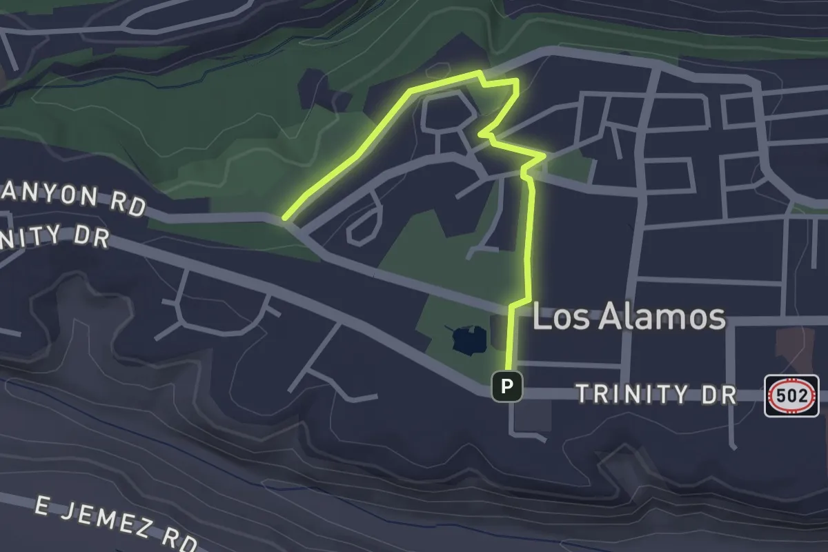
Easy · Trail
Urban Trail
3.1 km · ↑ 29 m · 47 min
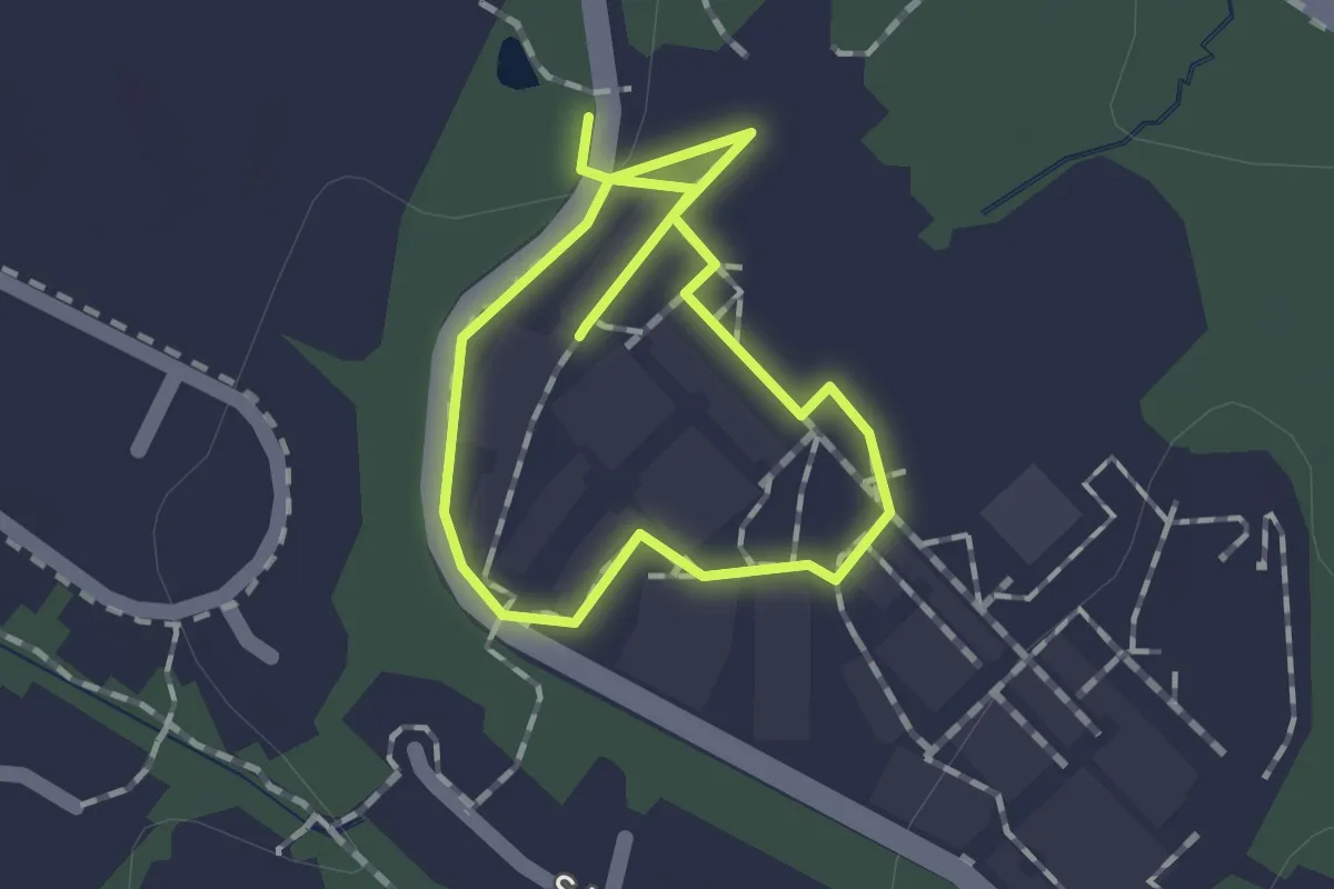
Easy · Trail
USGS Rock Garden Walk
1.2 km · ↑ 4 m · 18 min
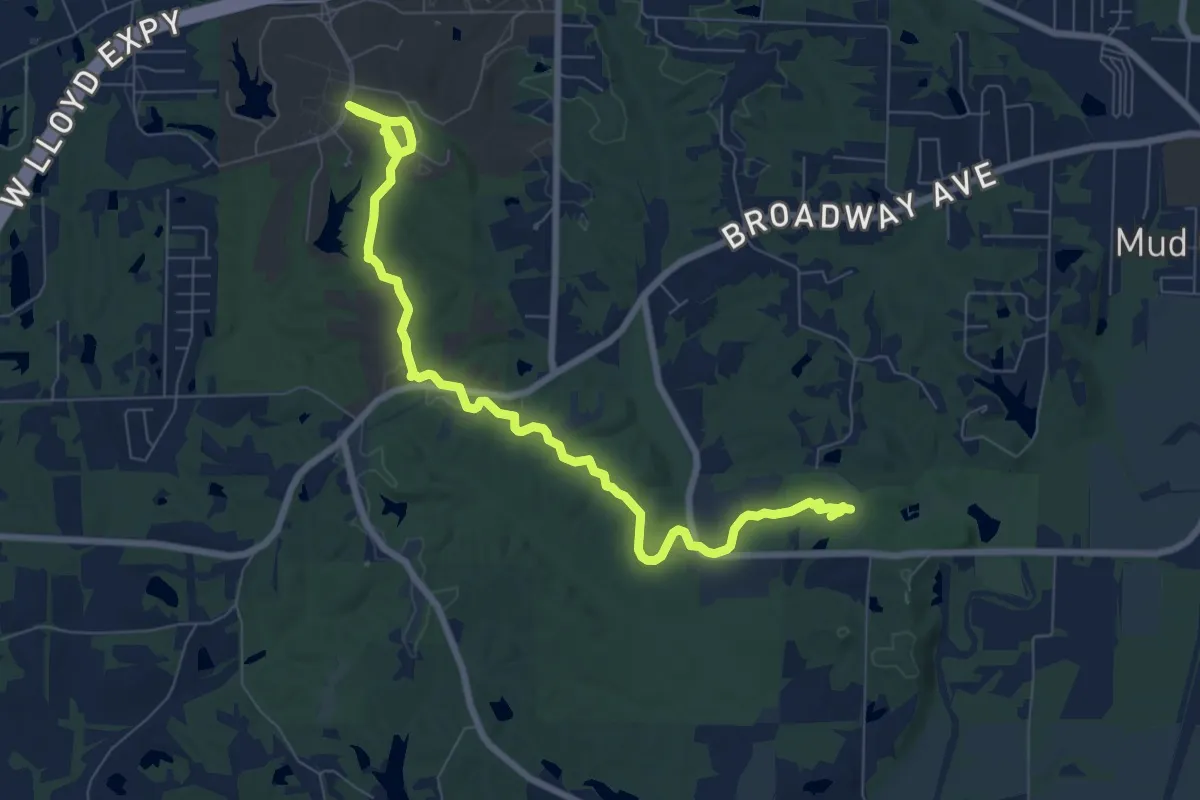
Medium · Trail
USI-Burdette Trail
10.8 km · ↑ 87 m · 2 h 44 min
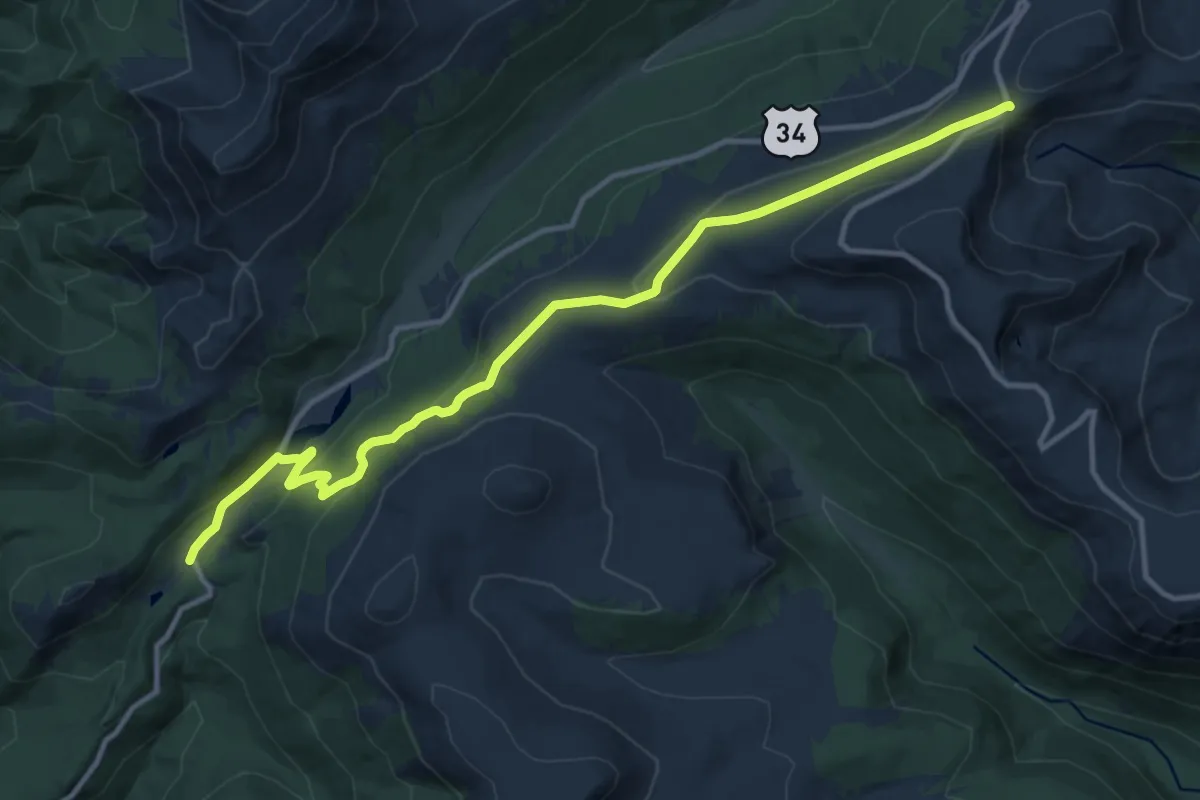
Medium · Trail
Ute Trail
14.7 km · ↑ 404 m · 4 h 20 min
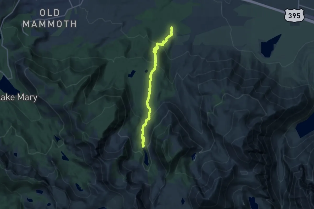
Medium · Trail
Valentine Lake Trail
14.5 km · ↑ 684 m · 4 h 54 min
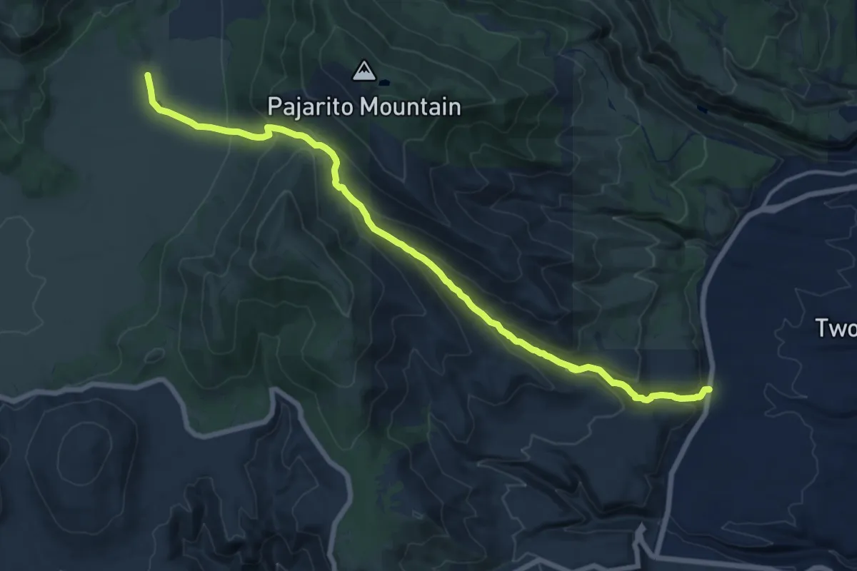
Demanding · Trail
Valle Trail
18.2 km · ↑ 830 m · 6 h 6 min
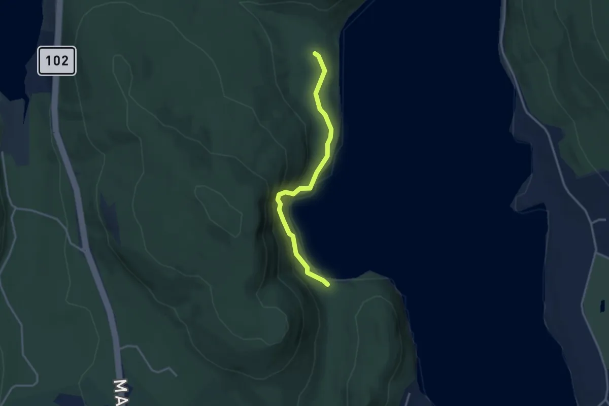
Easy · Trail
Valley Cove Trail
2.9 km · ↑ 121 m · 56 min
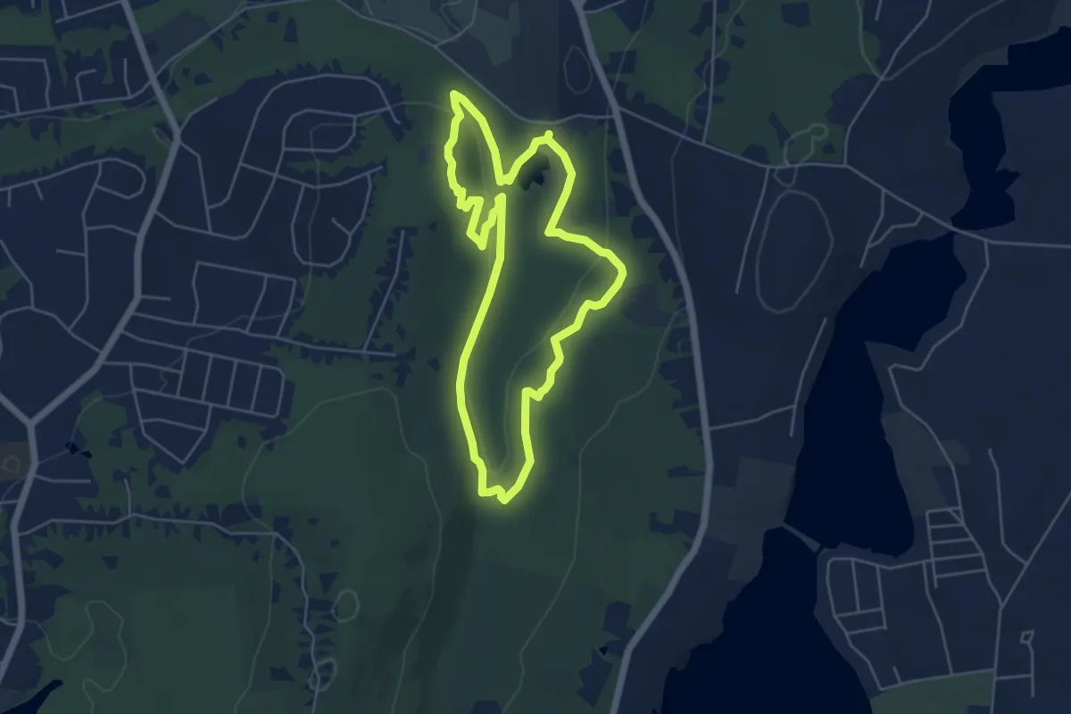
Easy · Trail
Valley Falls Loop Trail
5.4 km · ↑ 144 m · 1 h 39 min
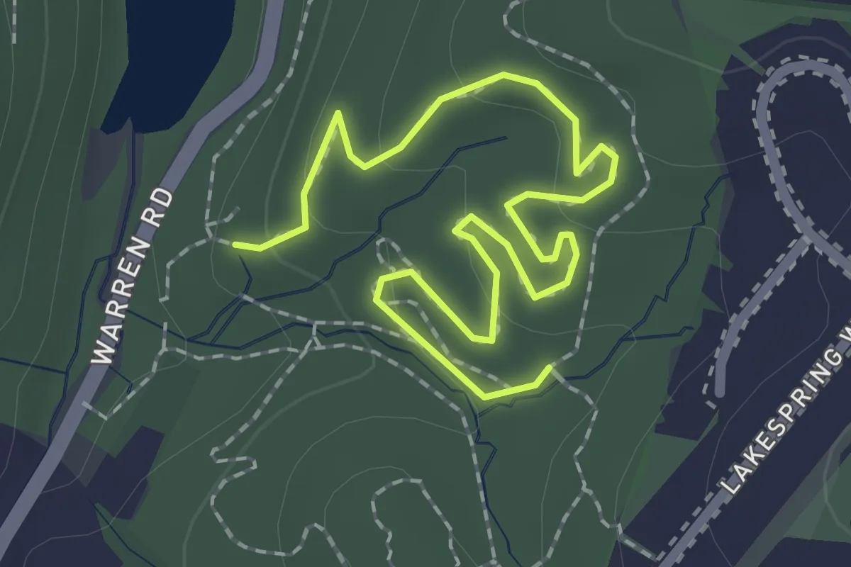
Easy · Trail
Valley of the Kings
2.9 km · ↑ 73 m · 50 min
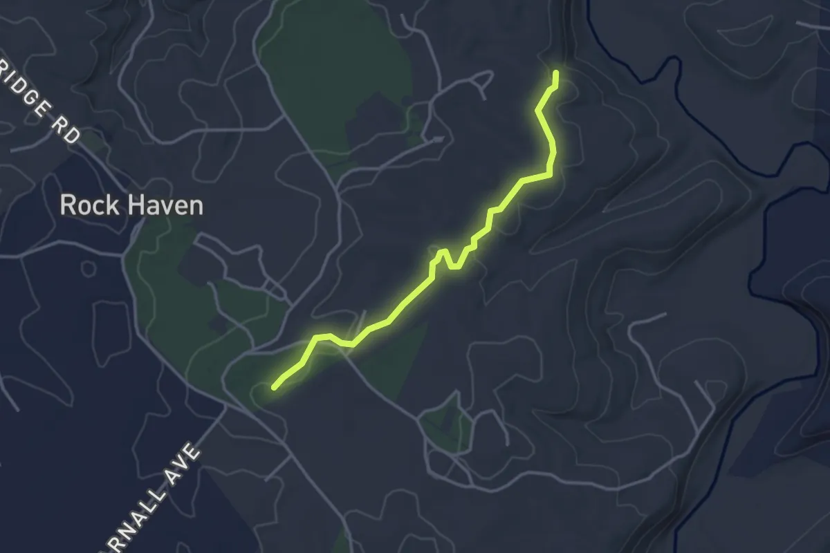
Easy · Trail
Valley Overlook Trail
3.6 km · ↑ 48 m · 58 min
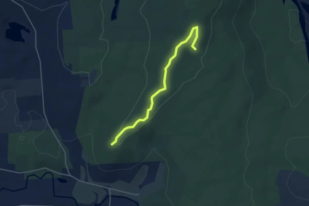
Easy · Trail
Valley Overlook Trail
3.6 km · ↑ 50 m · 57 min
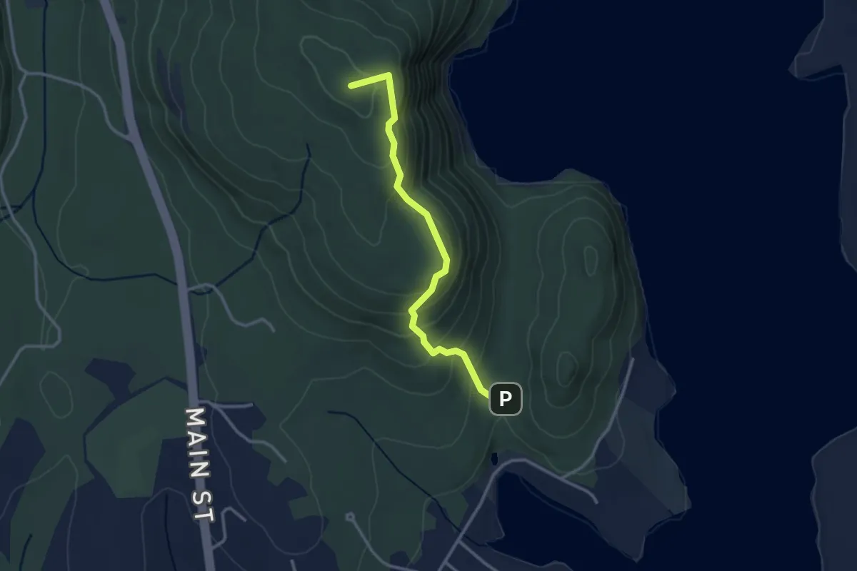
Easy · Summit
Valley Peak Trail
3.0 km · ↑ 186 m · 1 h 6 min
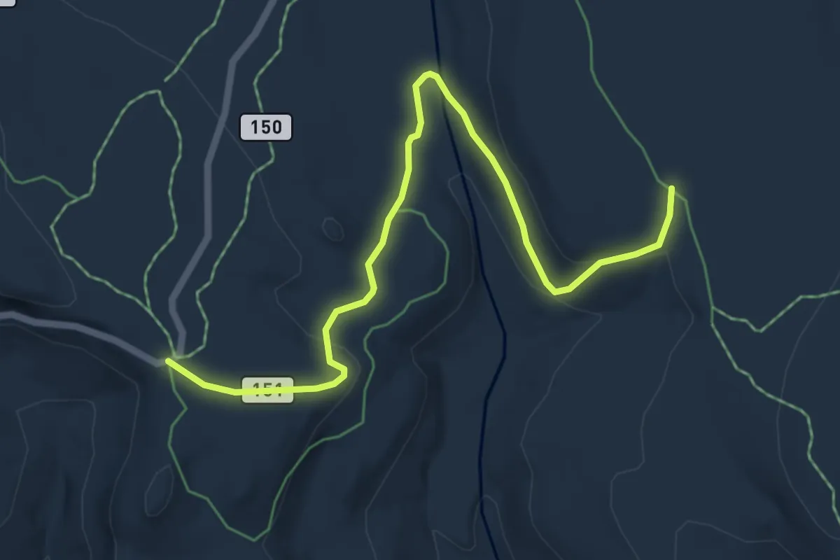
Easy · Trail
Valley Ski Trail #151
6.2 km · ↑ 183 m · 1 h 52 min
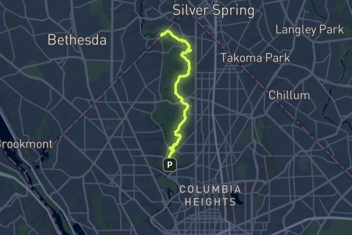
Medium · Trail
Valley Trail
17.3 km · ↑ 294 m · 4 h 43 min
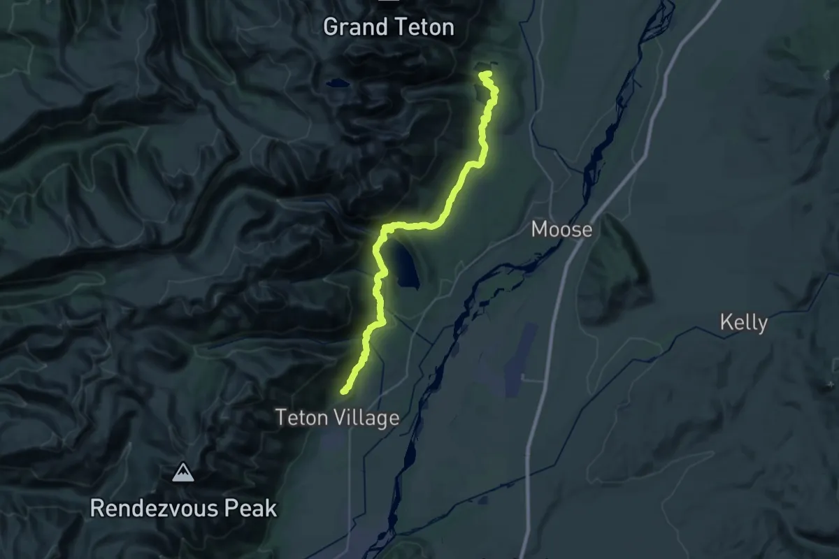
Demanding · Trail
Valley Trail
20.0 km · ↑ 532 m · 6 h 13 min
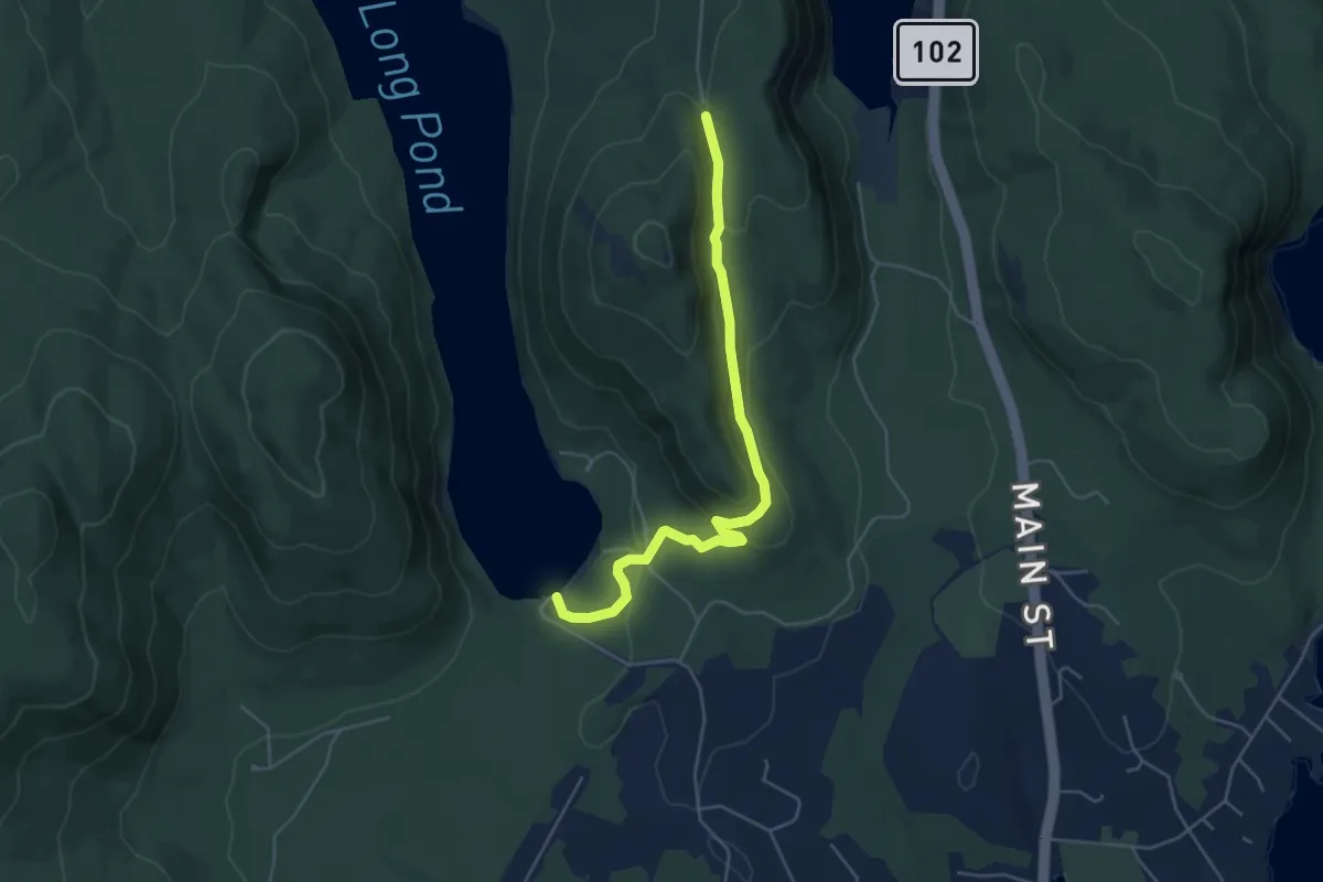
Easy · Trail
Valley Trail
5.2 km · ↑ 148 m · 1 h 33 min
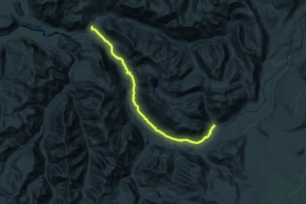
Demanding · Trail
Valley Trail #270
22.6 km · ↑ 569 m · 7 h 7 min
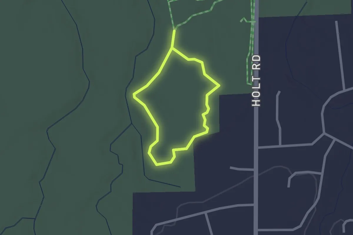
Easy · Trail
Valley View Trail
1.5 km · ↑ 9 m · 23 min
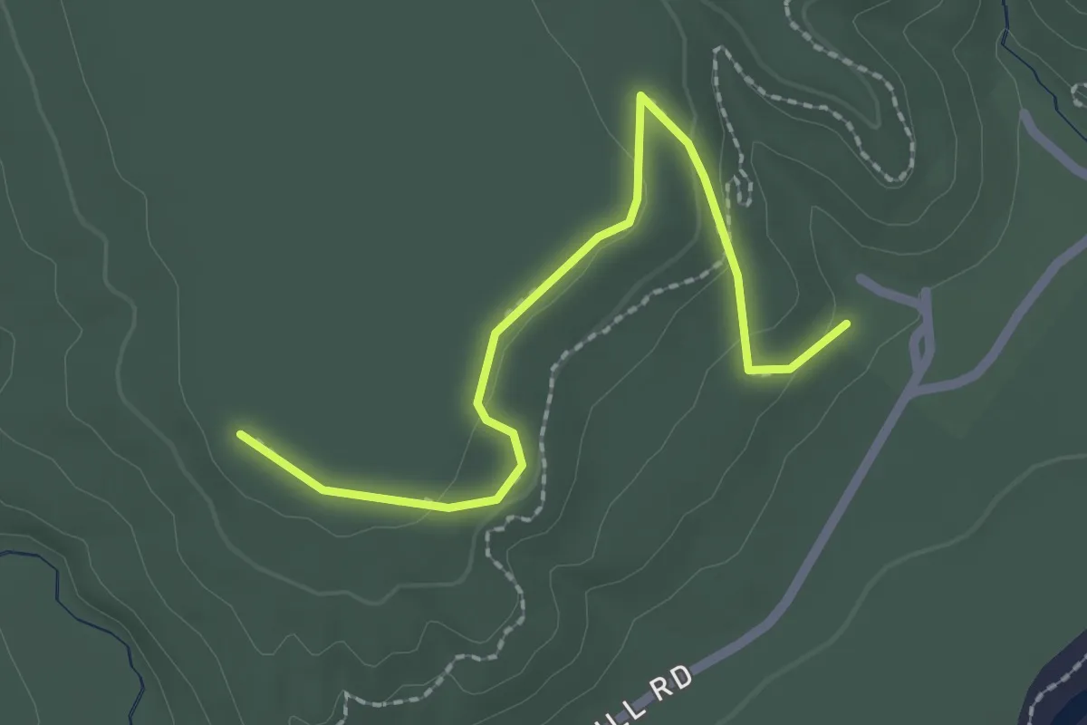
Easy · Trail
Valley View Trail
2.2 km · ↑ 61 m · 40 min
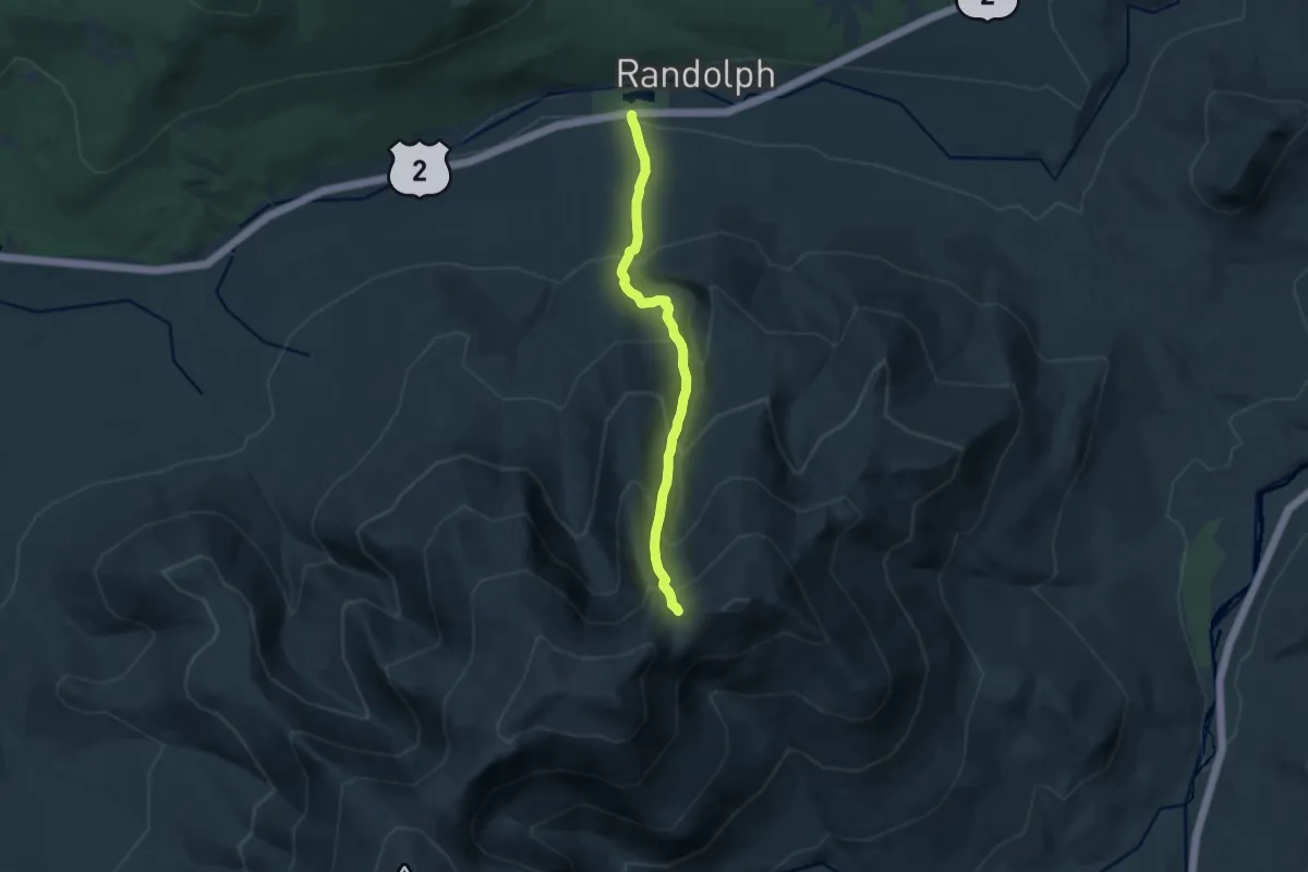
Demanding · Cabin
Valley Way
10.9 km · ↑ 1064 m · 4 h 53 min
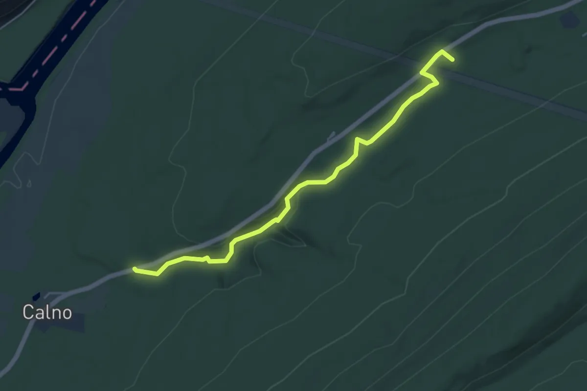
Easy · Trail
Van Campens Glen Trail
5.3 km · ↑ 101 m · 1 h 28 min
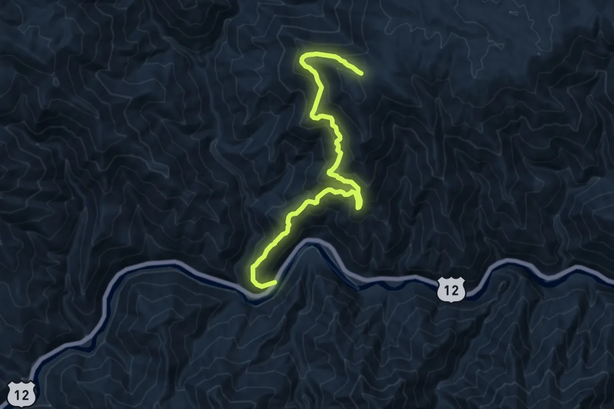
Demanding · Trail
Van Camp Trail
12.6 km · ↑ 871 m · 4 h 52 min
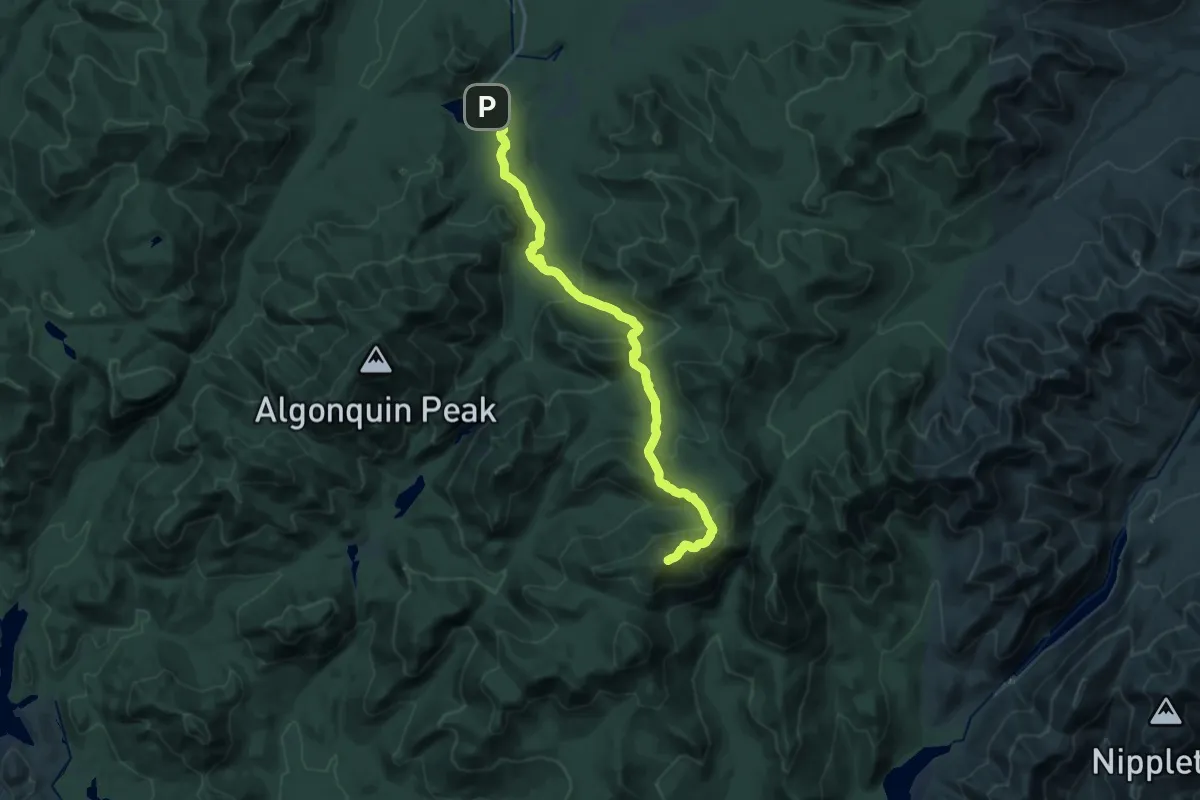
Demanding · Summit
Van Hoevenberg Trail
22.5 km · ↑ 1074 m · 7 h 38 min
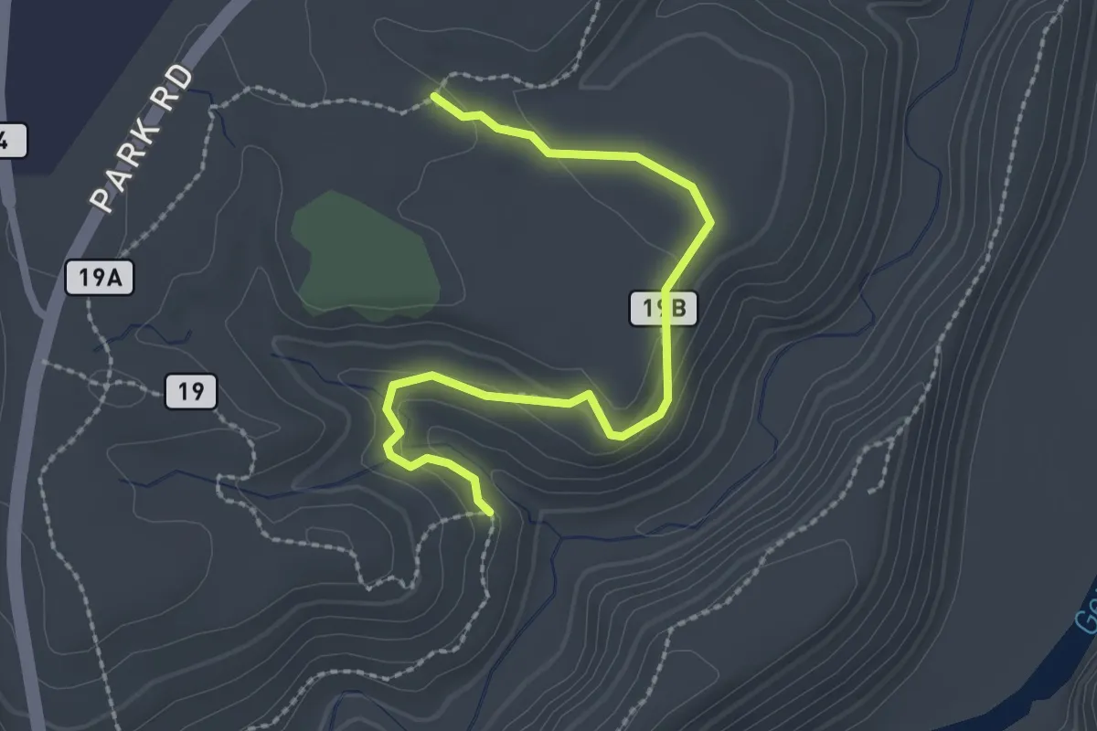
Easy · Trail
Vanished Village Trail
2.6 km · ↑ 94 m · 50 min
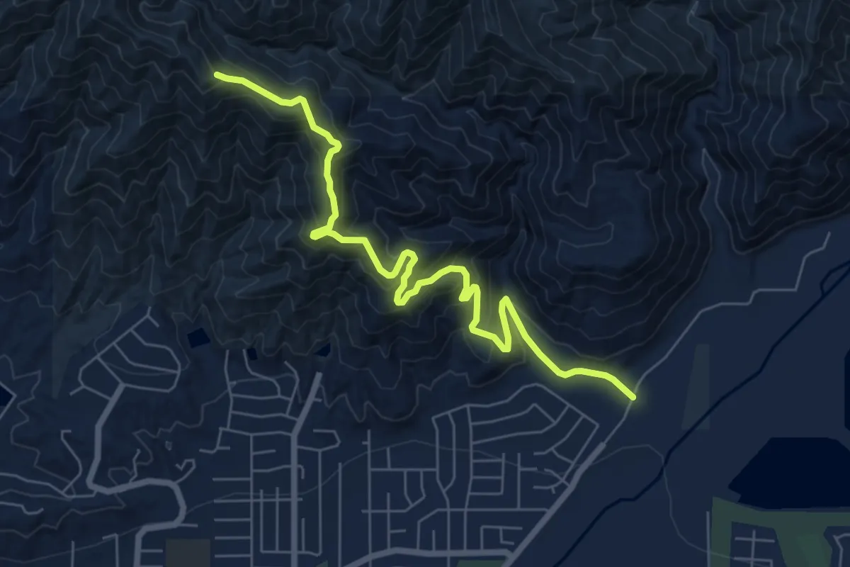
Medium · Trail
Van Tassel Trail
8.7 km · ↑ 546 m · 3 h 14 min
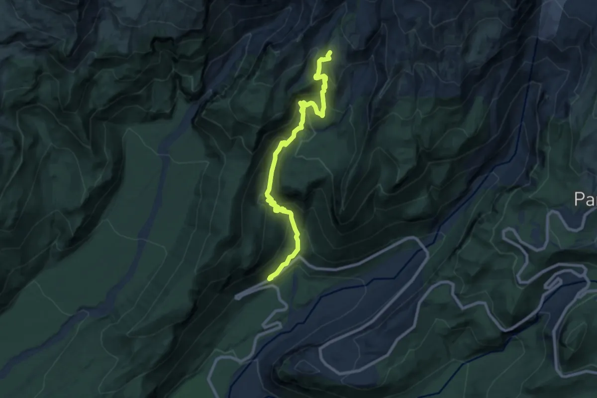
Medium · Trail
Van Trump Park
8.3 km · ↑ 673 m · 3 h 25 min
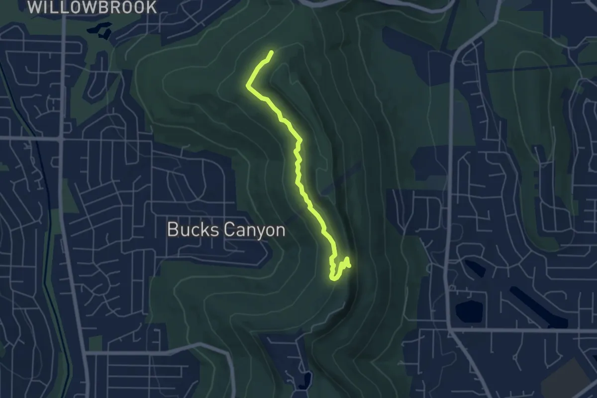
Easy · Trail
Varnedoe Trail
5.7 km · ↑ 123 m · 1 h 37 min
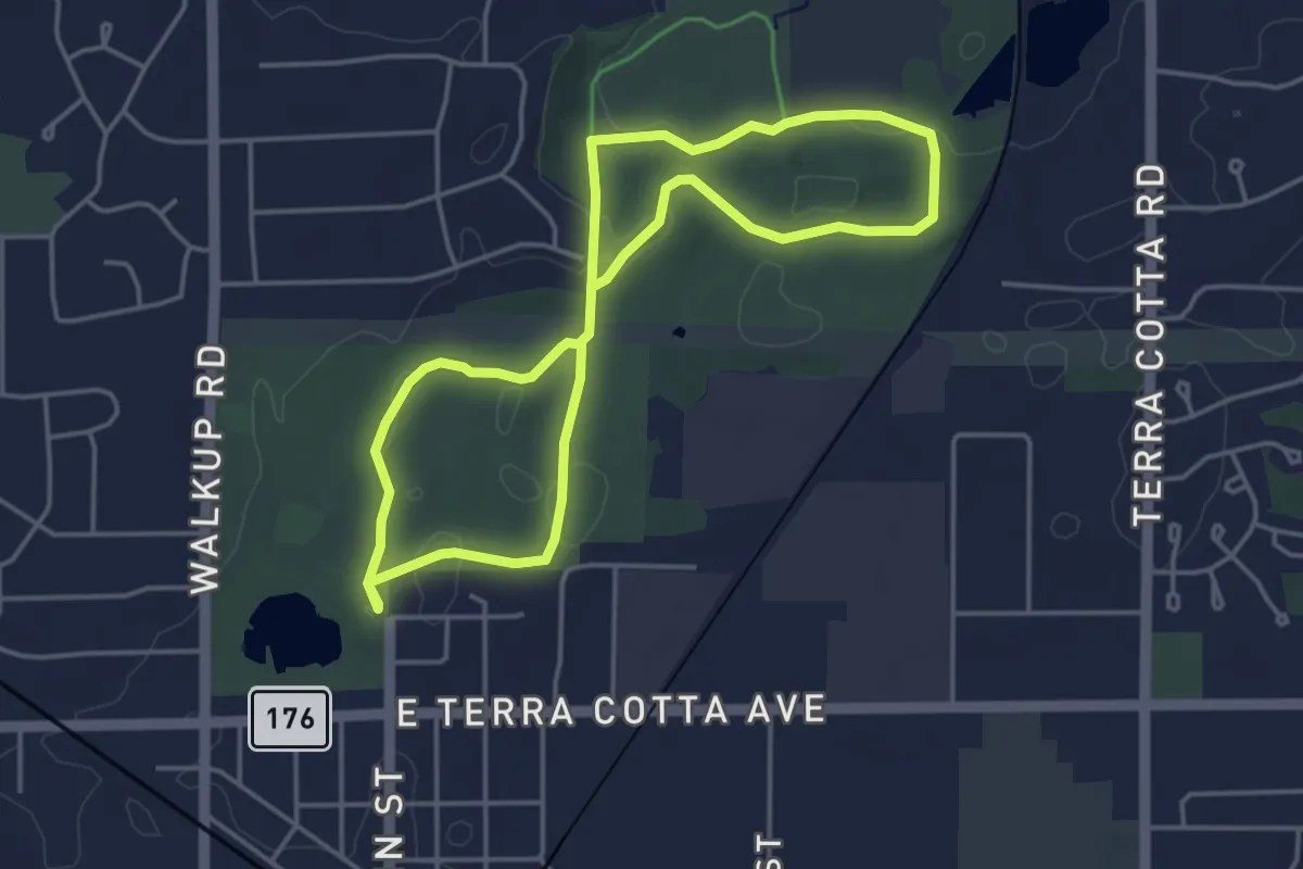
Easy · Trail
VA Sterne's Woods Trail
4.2 km · ↑ 61 m · 1 h 10 min
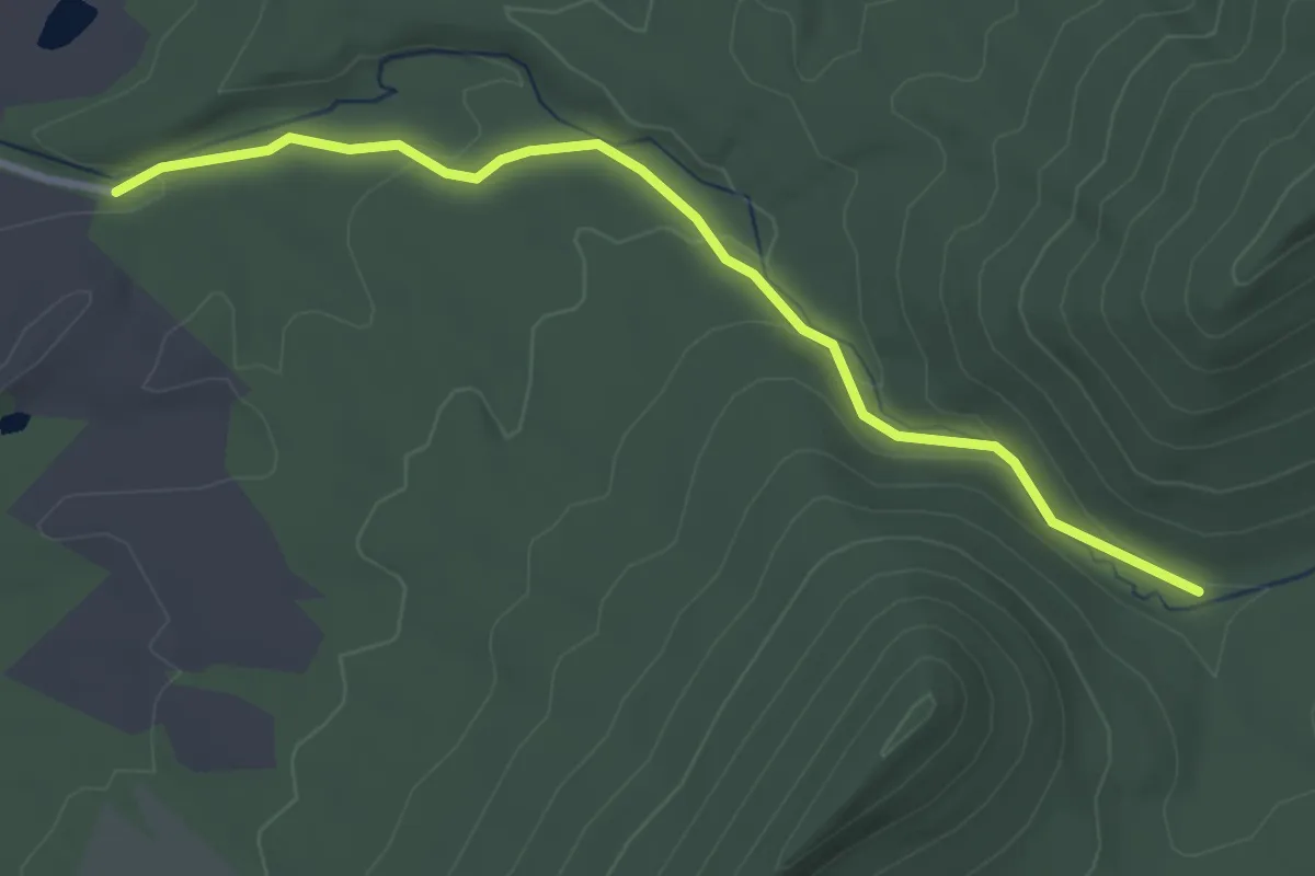
Easy · Trail
Veach Gap Trail
3.7 km · ↑ 101 m · 1 h 5 min
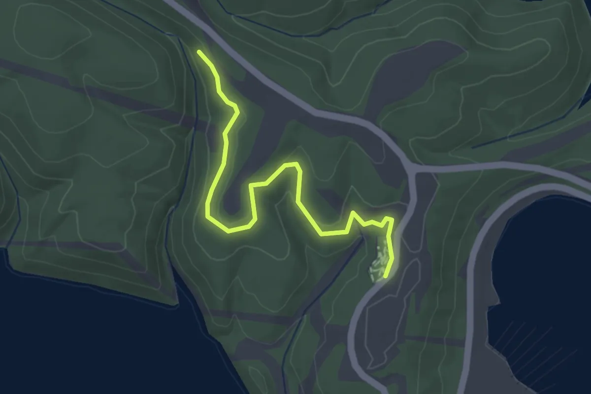
Easy · Trail
Vee Cee
3.5 km · ↑ 59 m · 57 min
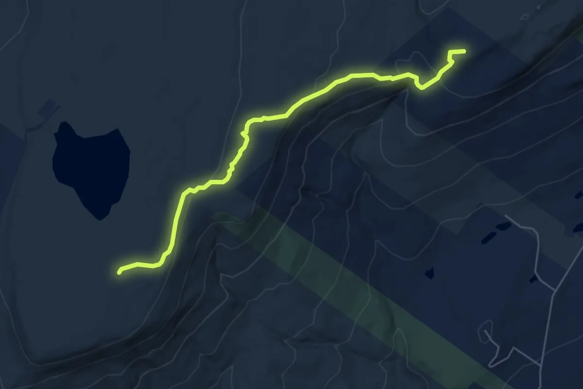
Easy · Trail
Verkeerderkill Falls Trail
6.4 km · ↑ 195 m · 1 h 56 min