Trails in United States
10,367 hiking trails, each with its route, climb, walking time and grade.
All trails, page 201 of 216
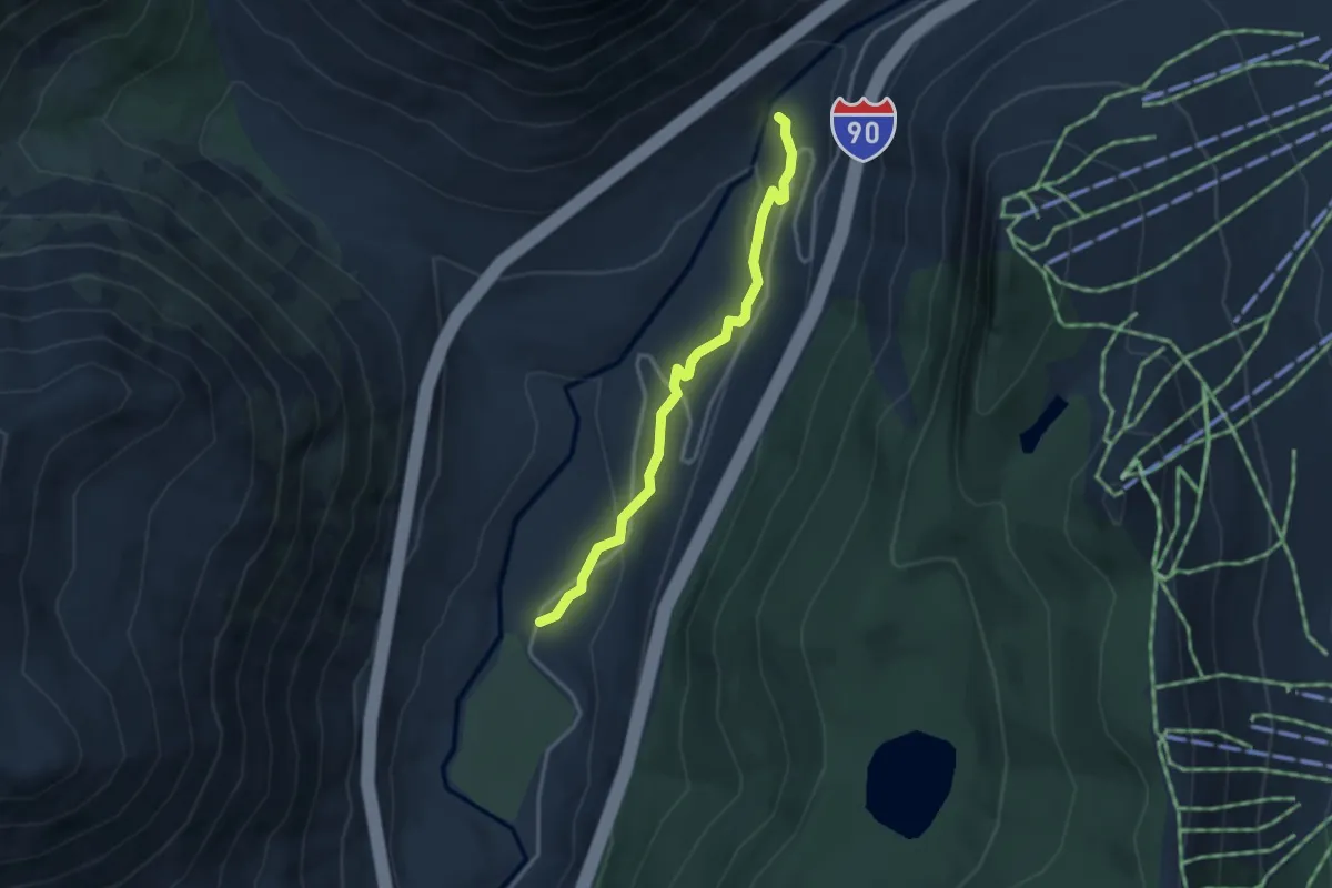
Easy · Trail
Wagon Road Trail
3.1 km · ↑ 96 m · 56 min
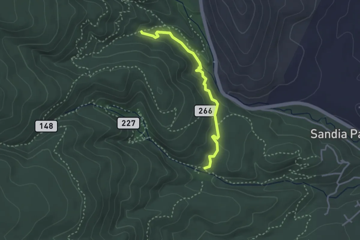
Easy · Trail
Wagon Trail
3.2 km · ↑ 92 m · 58 min
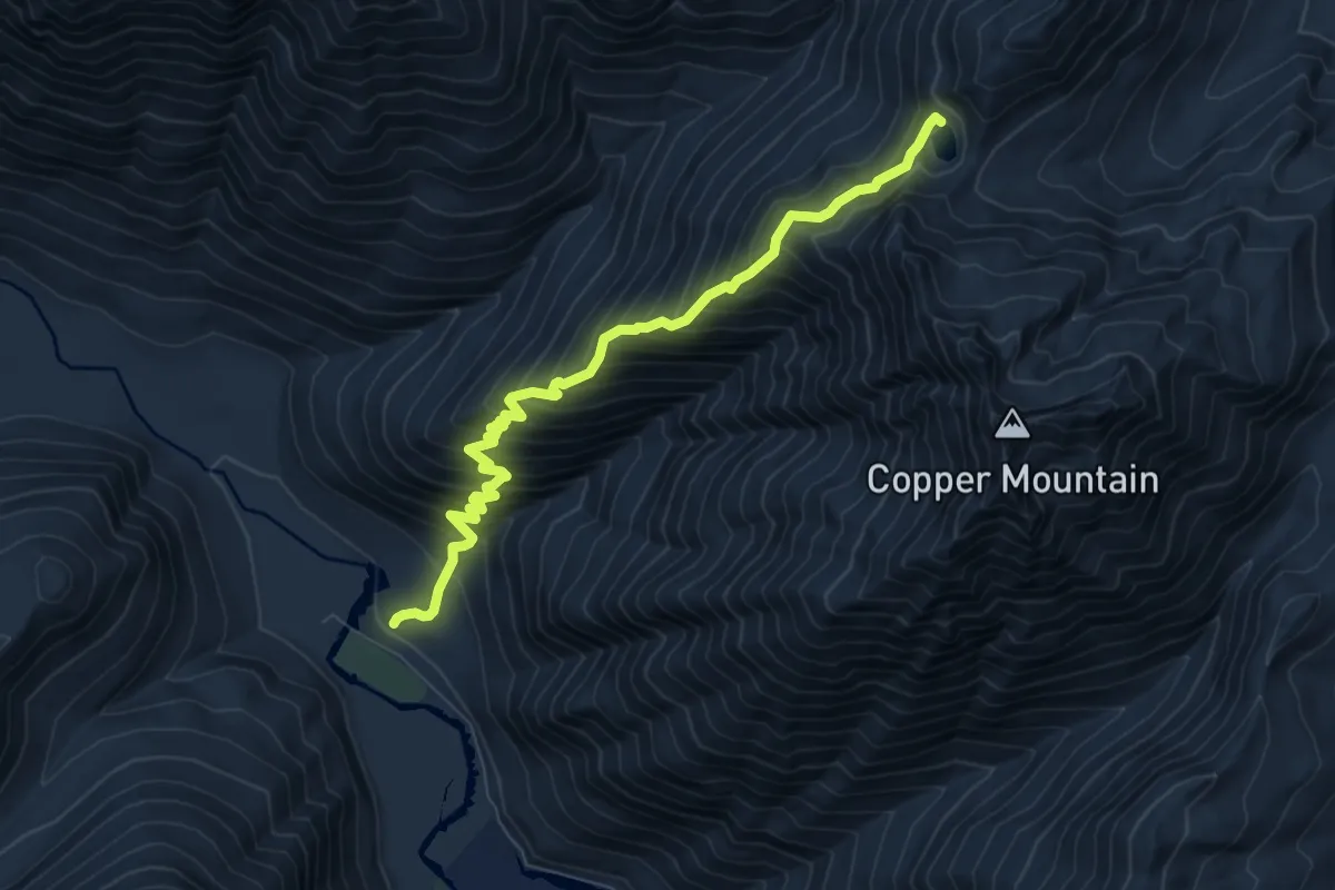
Demanding · Trail
Wagonwheel Lake Trail
8.2 km · ↑ 1046 m · 4 h 12 min
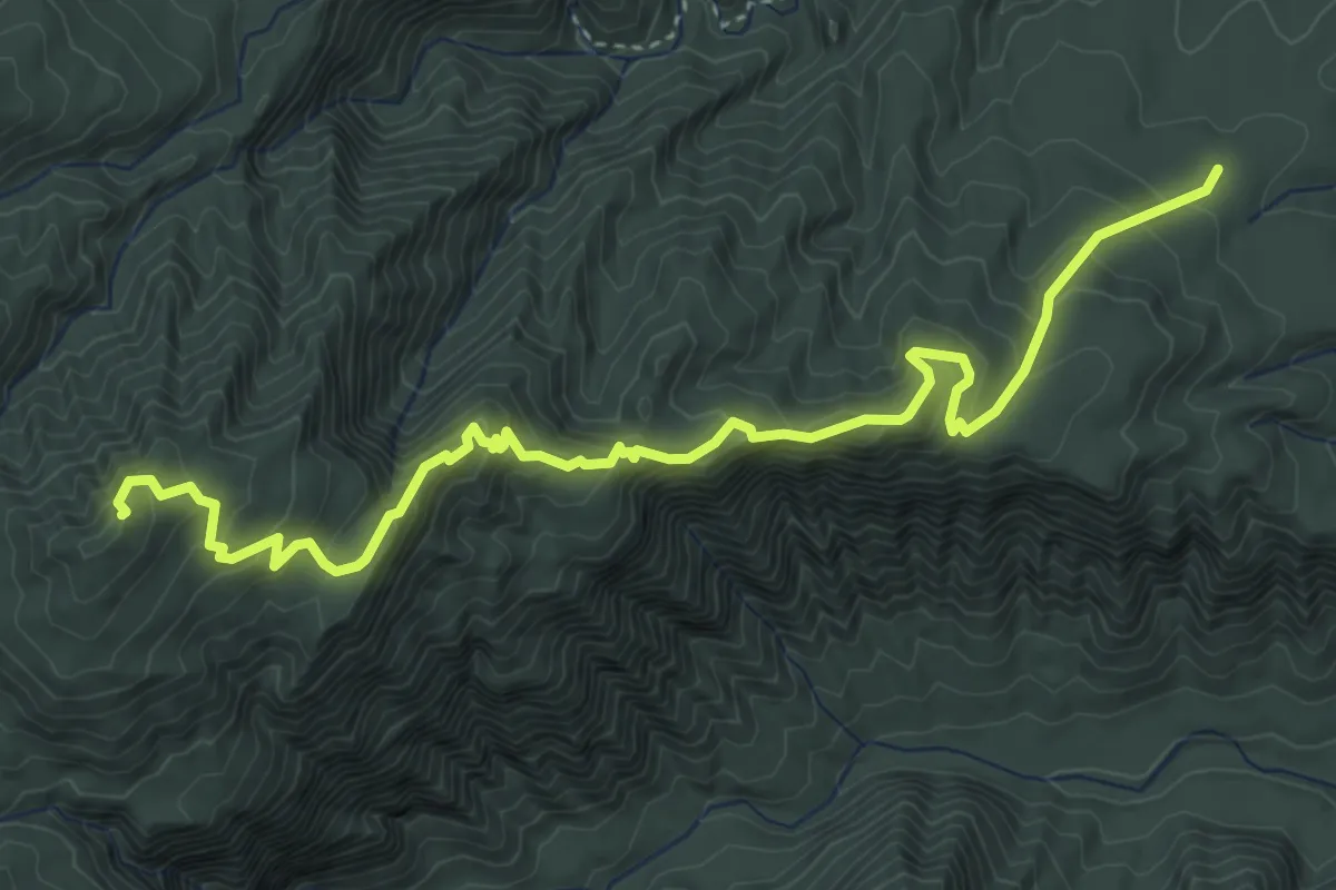
Medium · Summit
Waiheʻe Ridge Trail
6.5 km · ↑ 506 m · 2 h 38 min
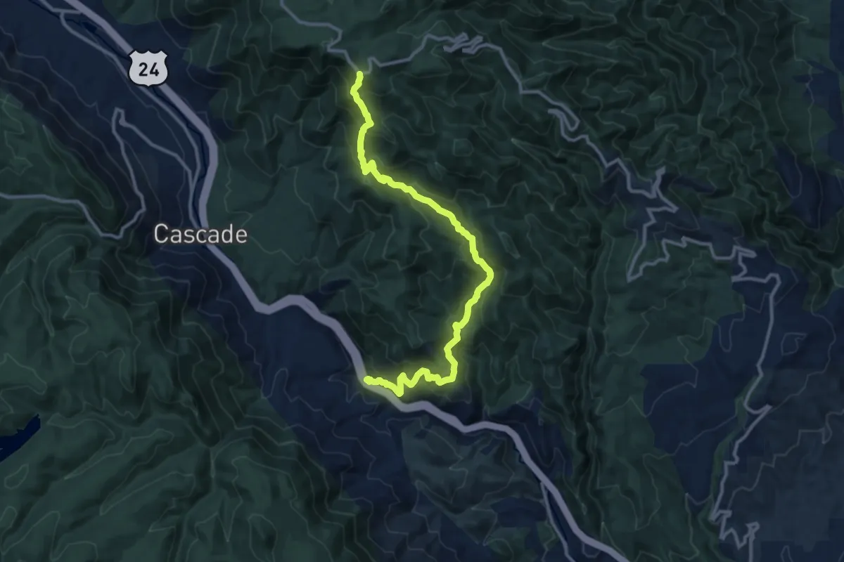
Medium · Trail
Waldo Canyon
13.6 km · ↑ 800 m · 4 h 56 min
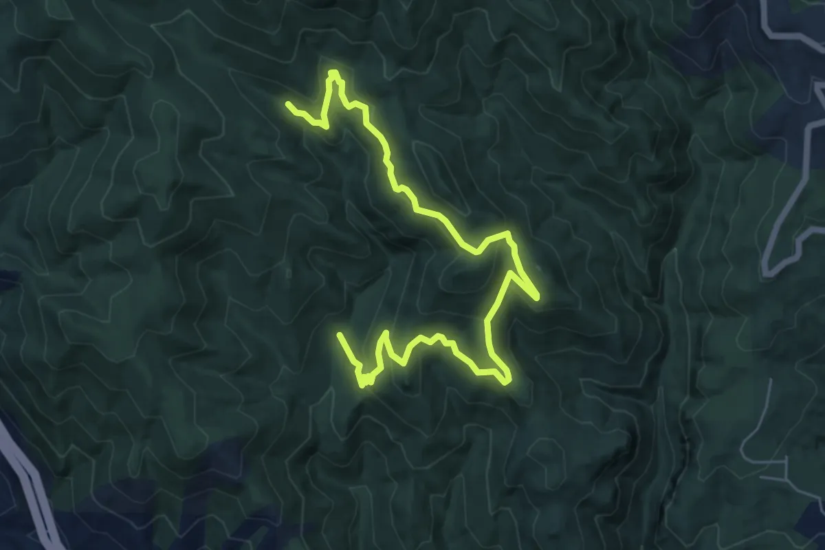
Medium · Trail
Waldo Canyon Loop
8.4 km · ↑ 318 m · 2 h 40 min
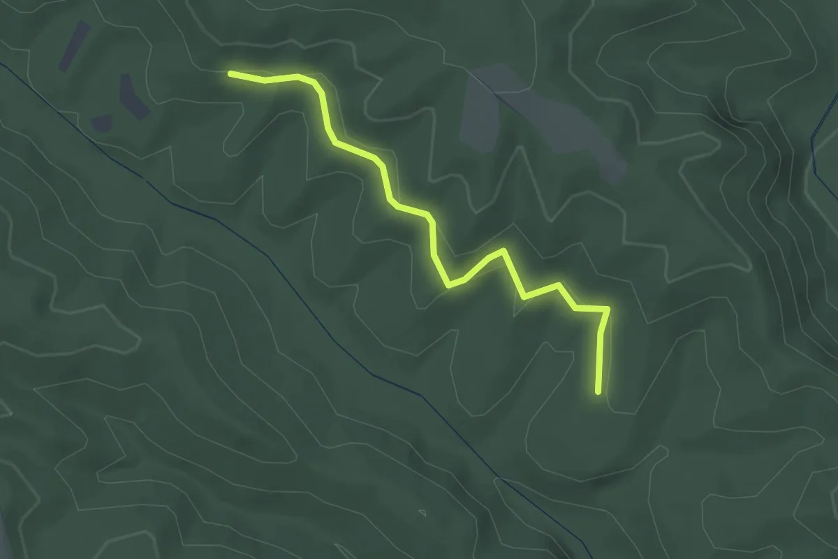
Easy · Trail
Waldron Spur Trail
2.4 km · ↑ 59 m · 41 min
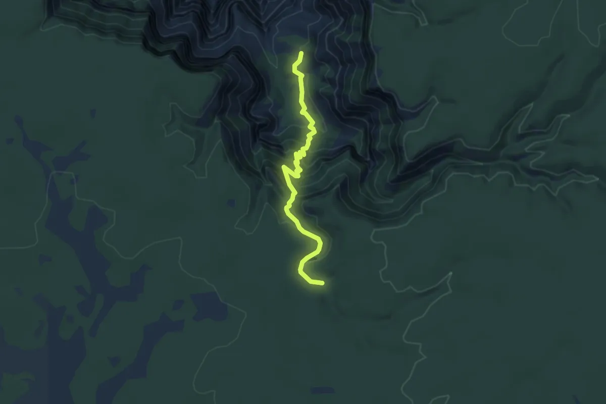
Medium · Trail
Waldron Trail
5.8 km · ↑ 353 m · 2 h 9 min
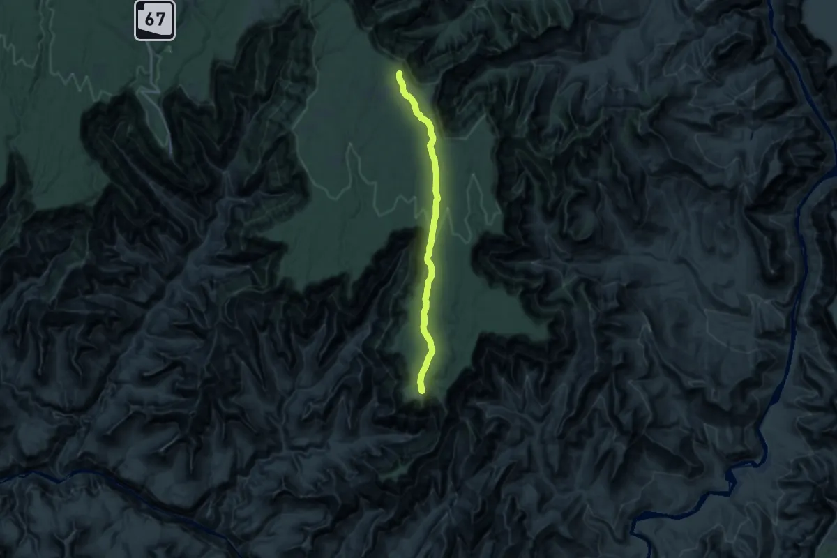
Demanding · Trail
Walhalla Glades Trail
23.3 km · ↑ 204 m · 5 h 57 min
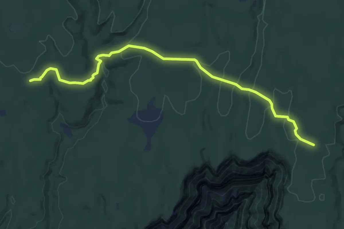
Medium · Trail
Walhalla Spur Trail
8.7 km · ↑ 214 m · 2 h 30 min
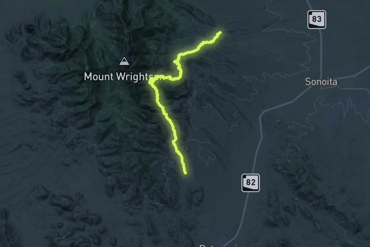
Demanding · Trail
Walker Canyon Trail
24.1 km · ↑ 852 m · 7 h 45 min
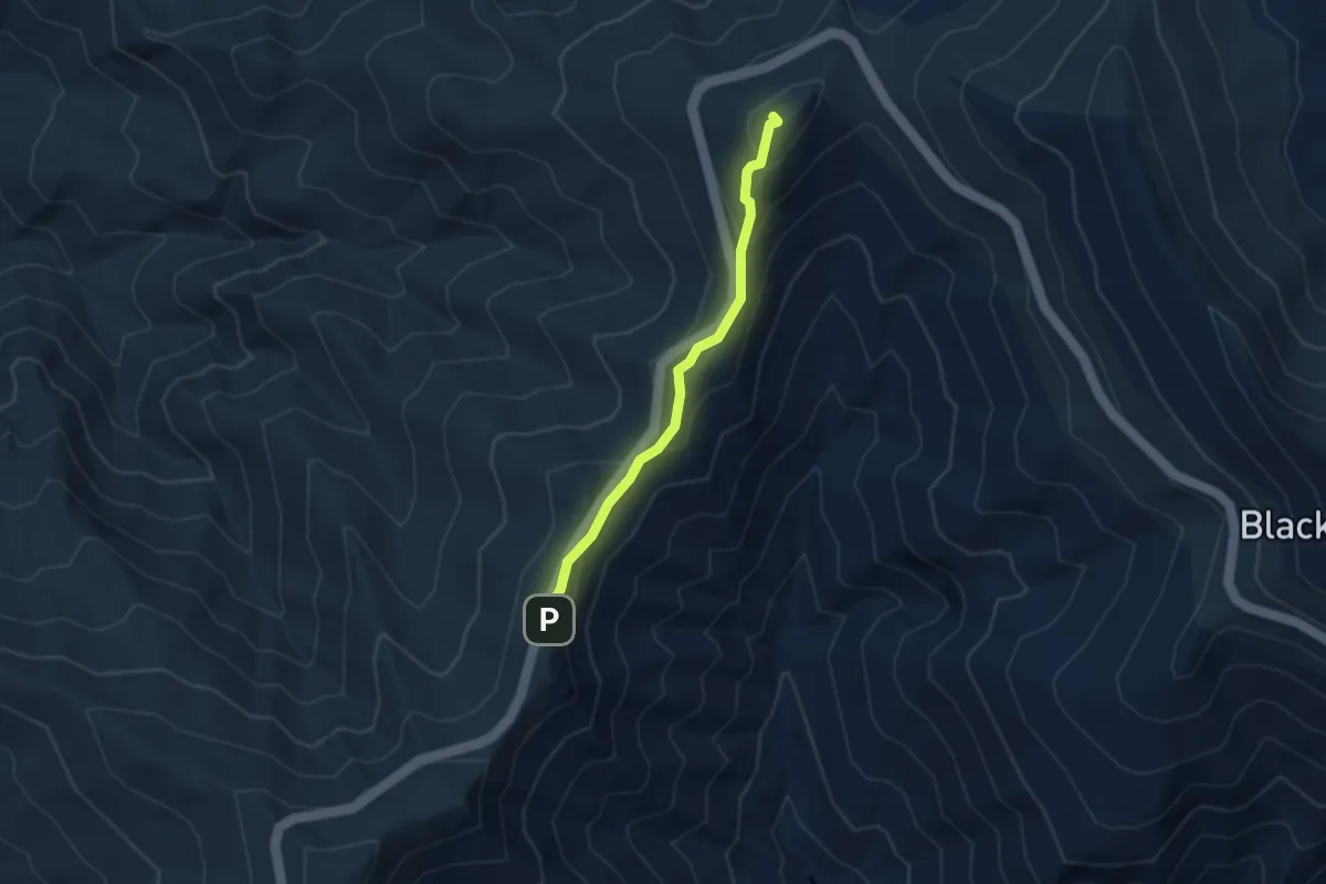
Medium · Summit
Walker Knob Overlook
3.3 km · ↑ 165 m · 1 h 9 min
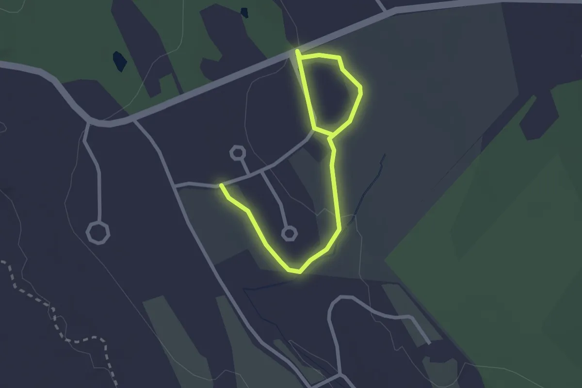
Easy · Trail
Walker Reserve Trail
3.0 km · ↑ 28 m · 46 min
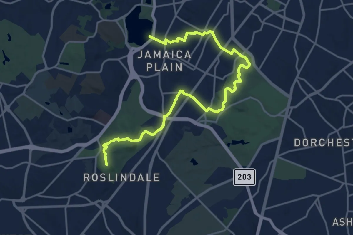
Medium · Summit
Walking City Trail Section 2
16.1 km · ↑ 198 m · 4 h 13 min
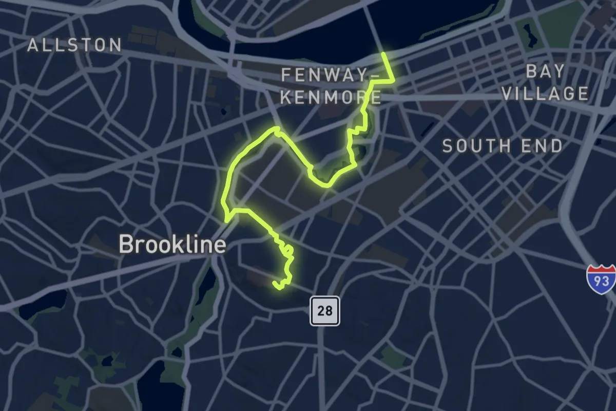
Medium · Summit
Walking City Trail Section 3
12.5 km · ↑ 62 m · 3 h 5 min
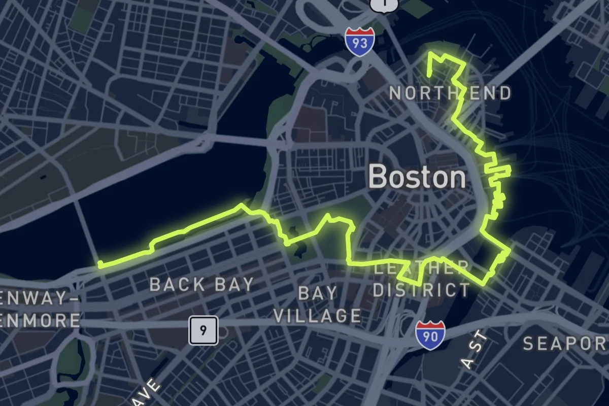
Medium · Summit
Walking City Trail Section 4
17.8 km · ↑ 103 m · 4 h 25 min
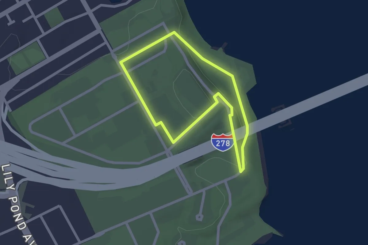
Easy · Trail
Walking Tour
2.0 km · ↑ 31 m · 33 min
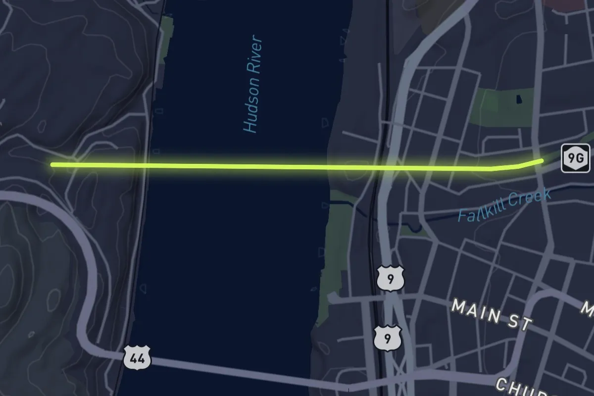
Easy · Trail
Walkway over the Hudson - hiking
4.1 km · ↑ 203 m · 1 h 25 min
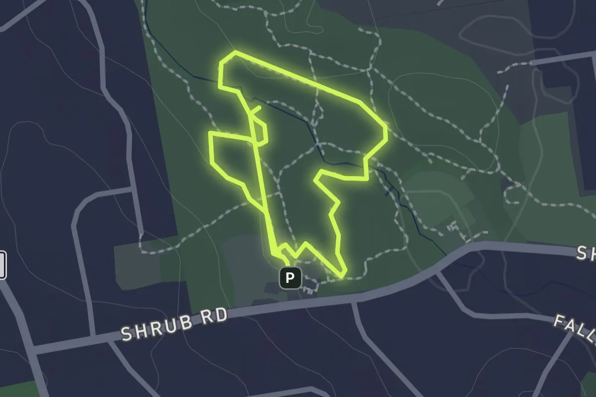
Easy · Trail
Wallace Barnes Accessible Nature Trail
3.9 km · ↑ 23 m · 58 min
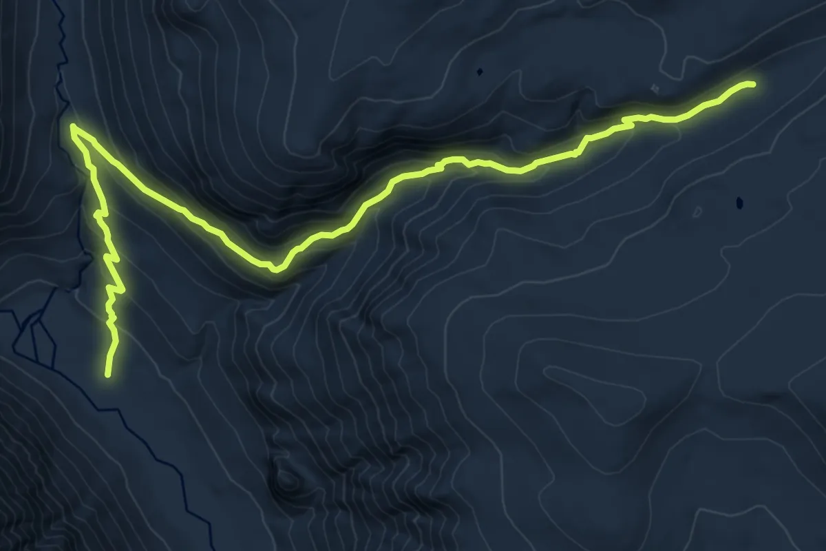
Medium · Trail
Wallace Creek Trail
13.7 km · ↑ 723 m · 4 h 48 min
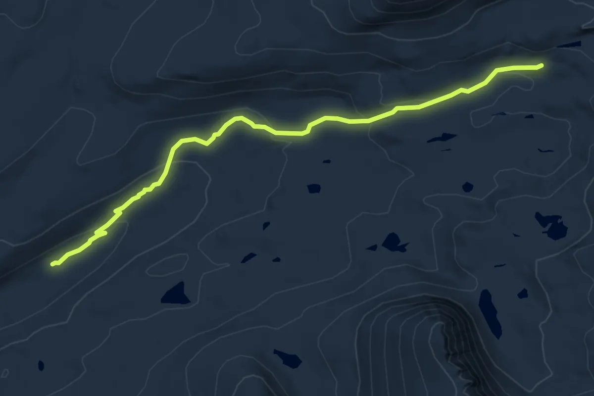
Medium · Trail
Wallace Lake Trail
8.5 km · ↑ 245 m · 2 h 32 min
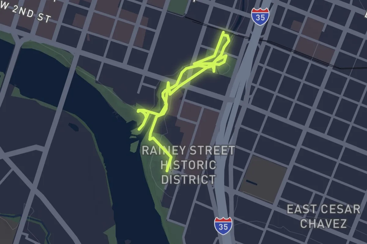
Easy · Trail
Waller Creek Greenbelt Trail
4.9 km · ↑ 29 m · 1 h 13 min
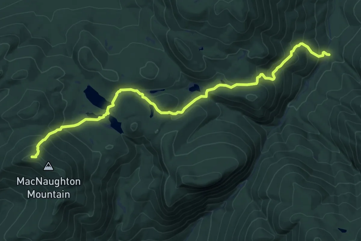
Medium · Summit
Wallface Ponds Trail
11.1 km · ↑ 655 m · 4 h 3 min
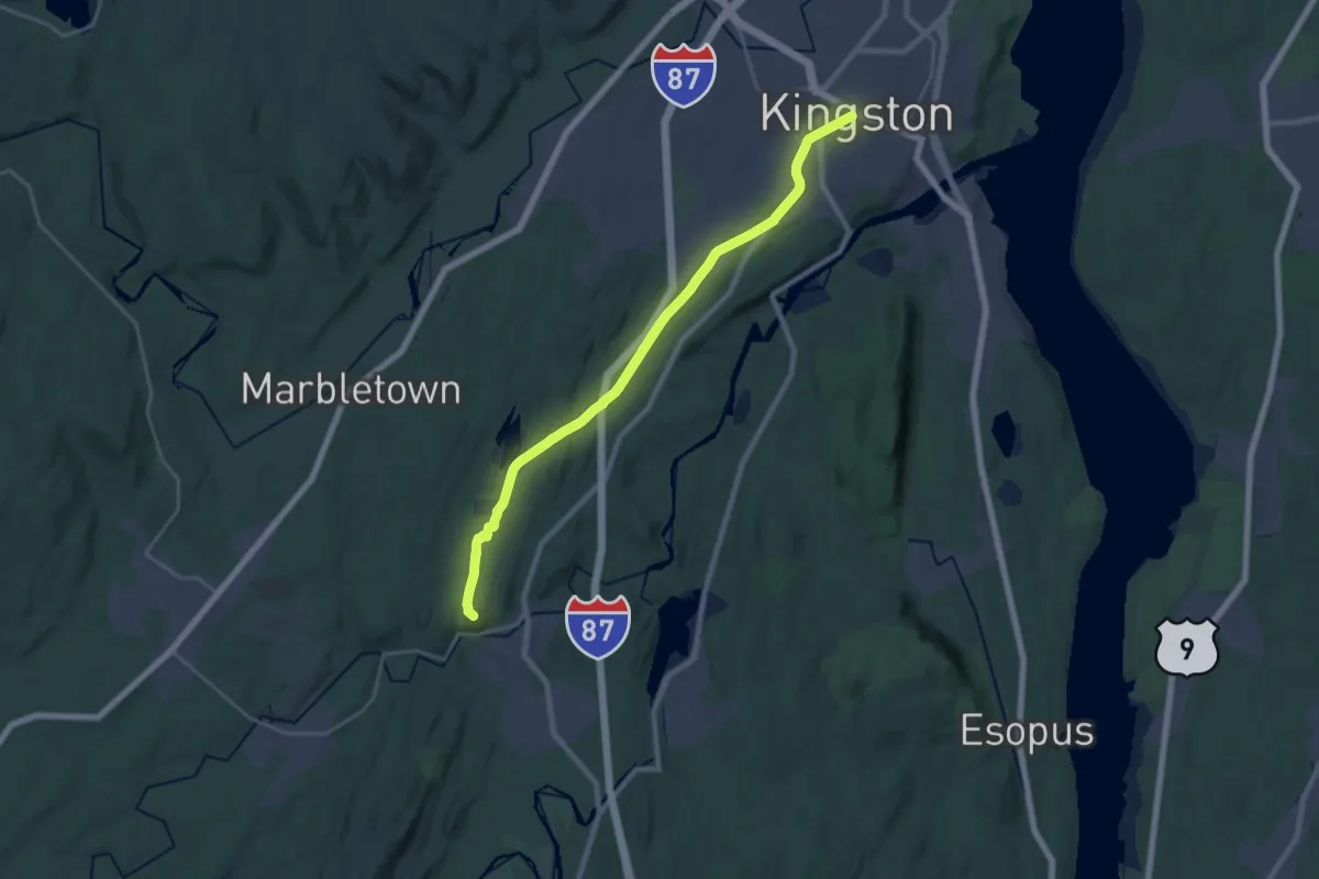
Demanding · Summit
Wallkill Valley Rail Trail - hiking
24.7 km · ↑ 277 m · 6 h 26 min
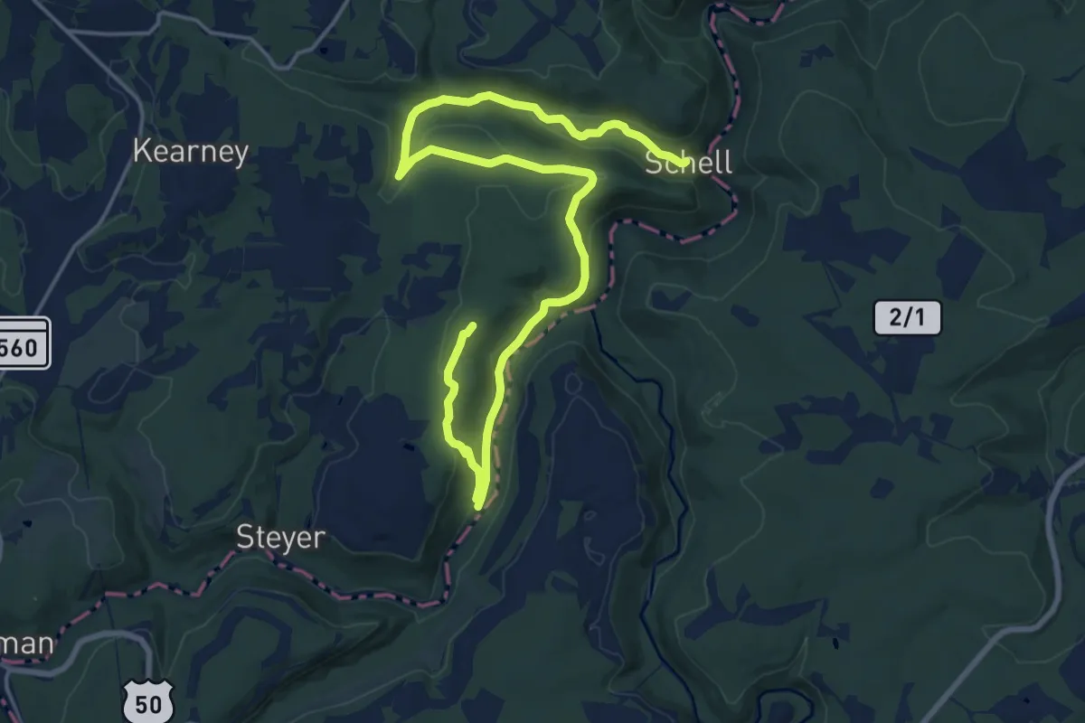
Demanding · Trail
Wallman Trails
26.0 km · ↑ 569 m · 7 h 22 min
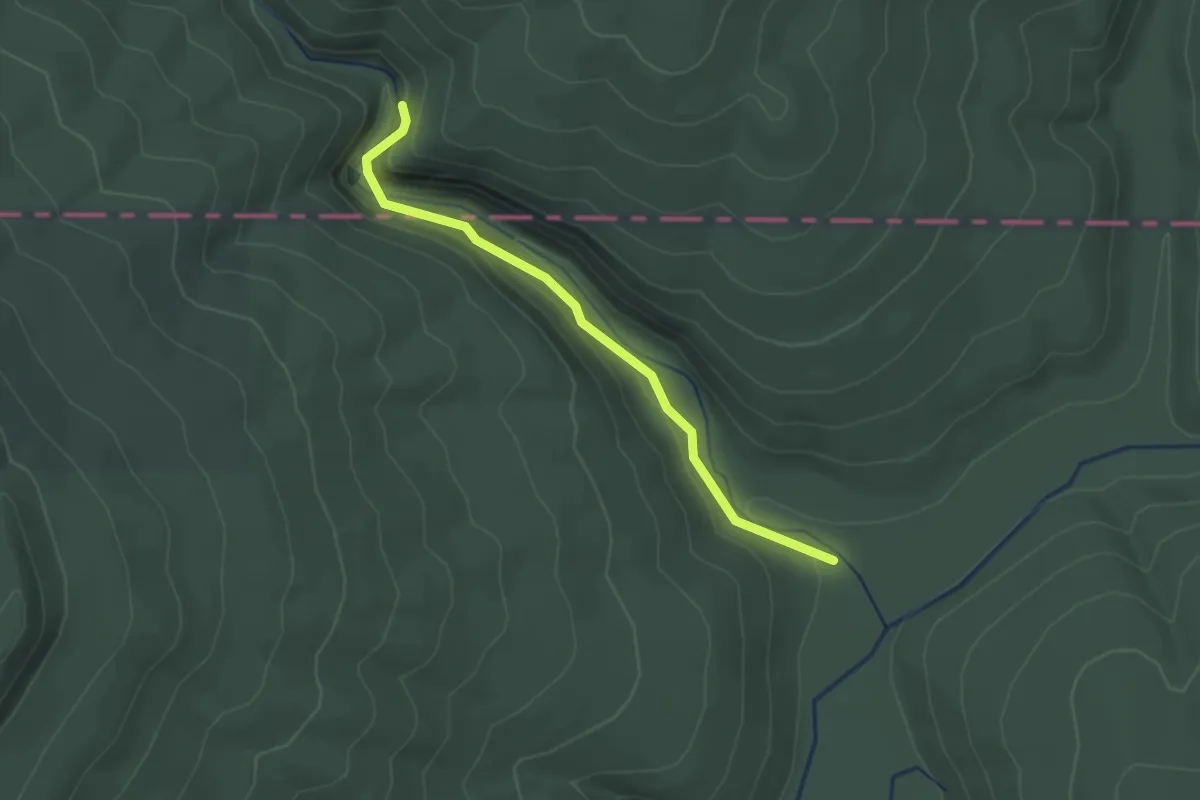
Easy · Trail
Walls Of Jericho Trail
2.4 km · ↑ 96 m · 47 min
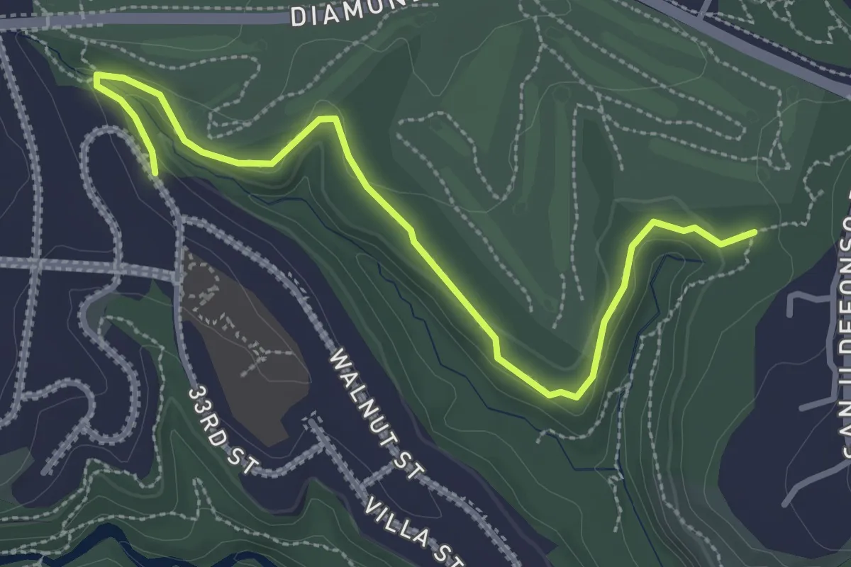
Easy · Trail
Walnut Canyon Rim Trail
3.8 km · ↑ 77 m · 1 h 4 min
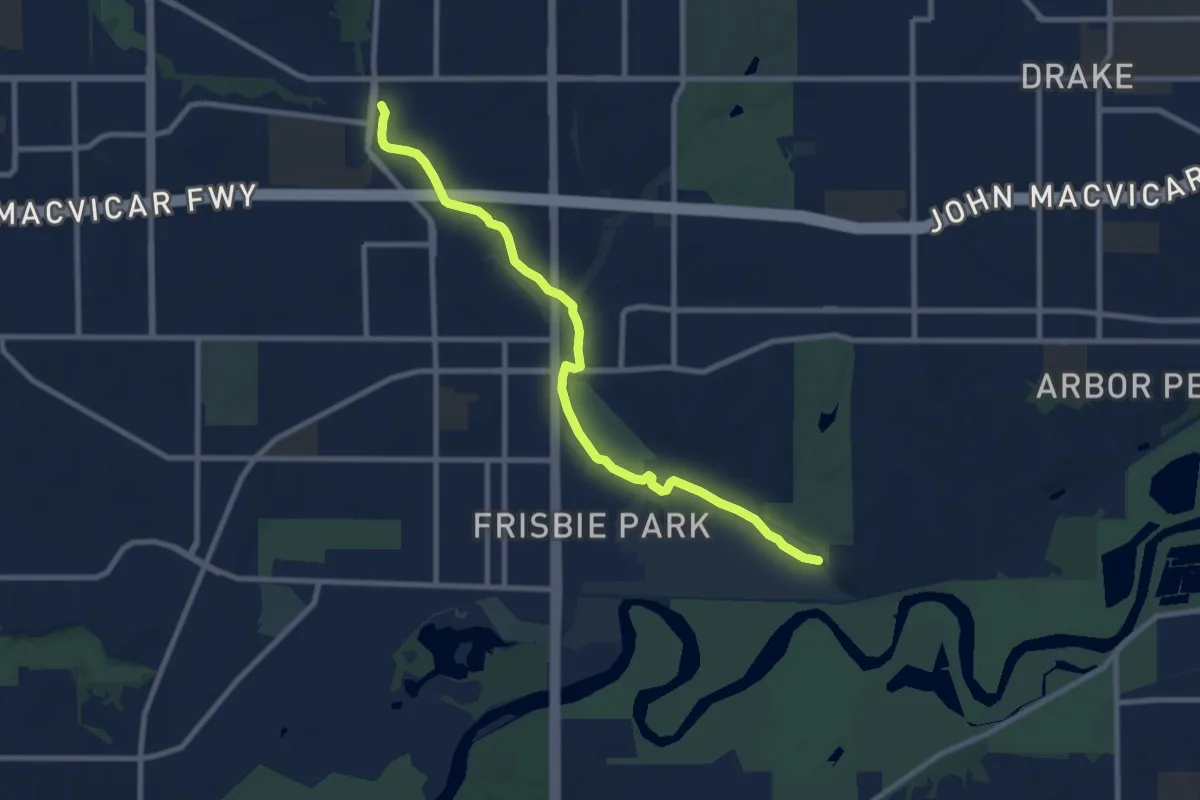
Medium · Trail
Walnut Creek Trail
10.2 km · ↑ 4 m · 2 h 25 min
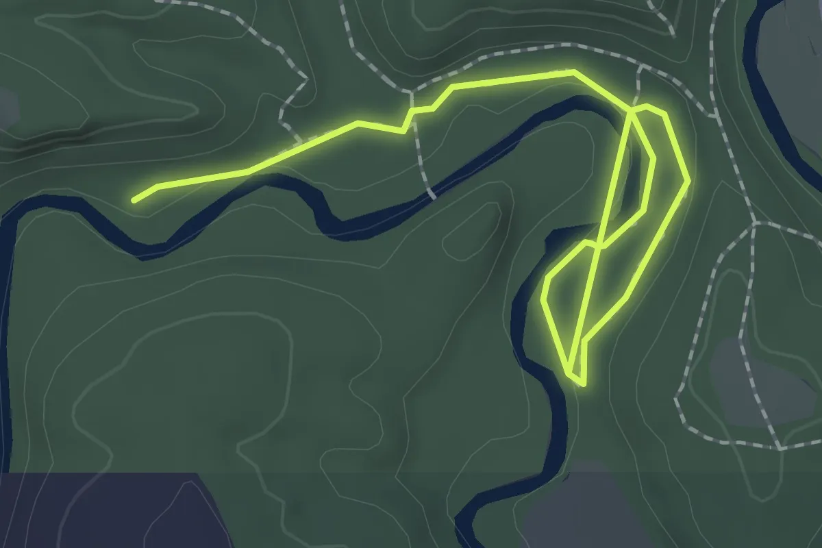
Easy · Trail
Walnut Trail
3.0 km · ↑ 15 m · 44 min
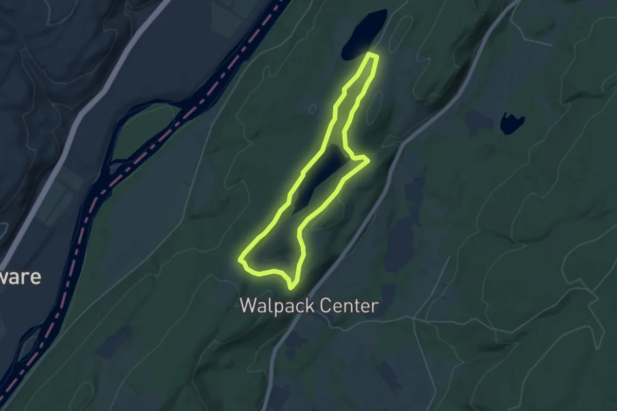
Easy · Trail
Walpack Ridge Trail
4.7 km · ↑ 87 m · 1 h 22 min
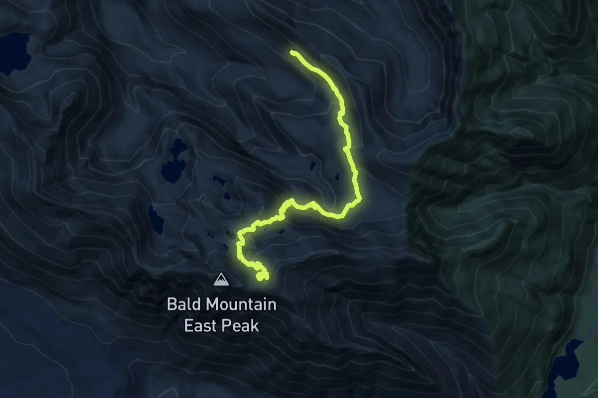
Medium · Trail
Walt Bailey Trail
11.7 km · ↑ 702 m · 4 h 16 min
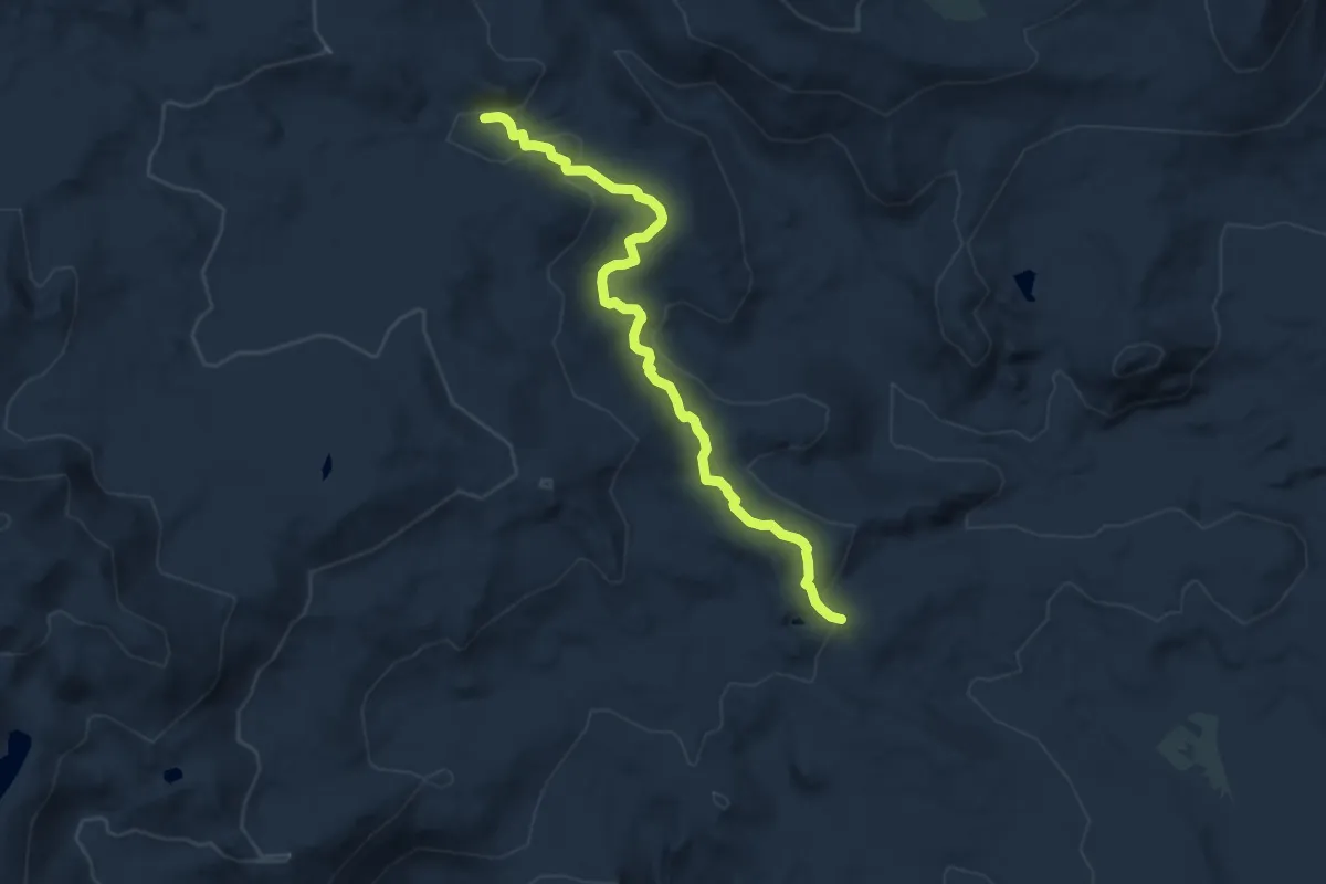
Medium · Trail
Walton Trail
8.7 km · ↑ 274 m · 2 h 40 min
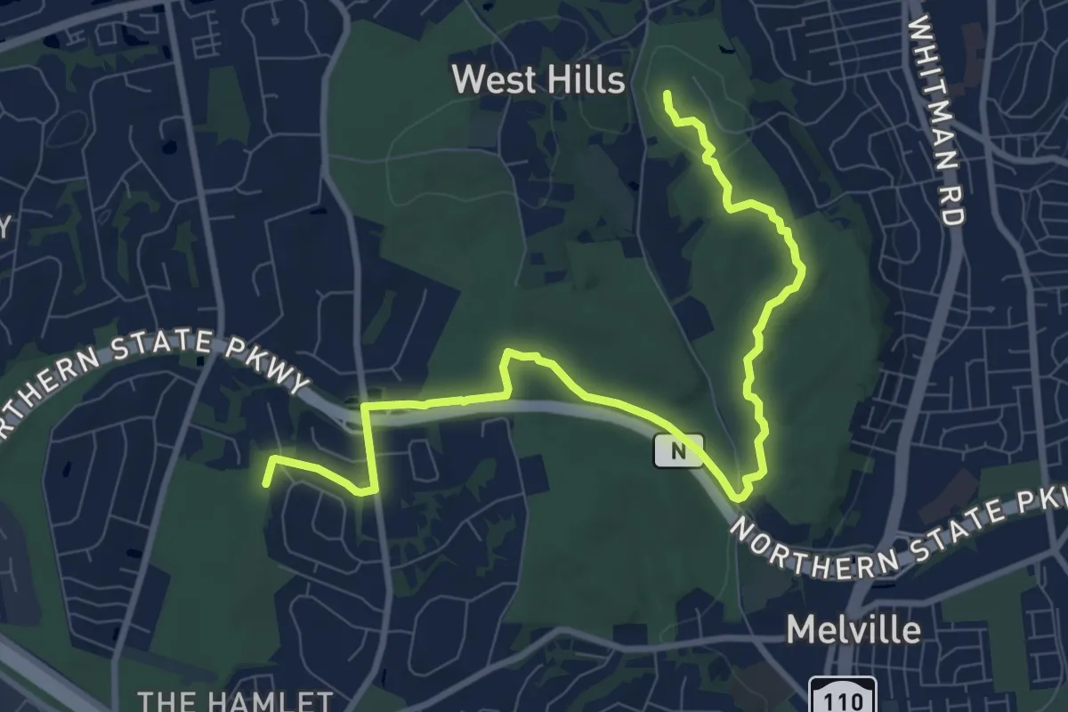
Medium · Summit
Walt Whitman Trail
11.6 km · ↑ 168 m · 3 h 6 min
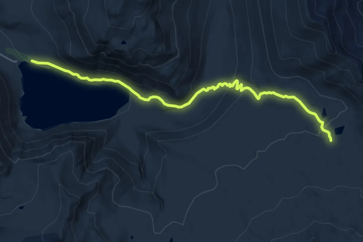
Medium · Trail
Walupt Lake Trail #101
13.7 km · ↑ 435 m · 4 h 10 min
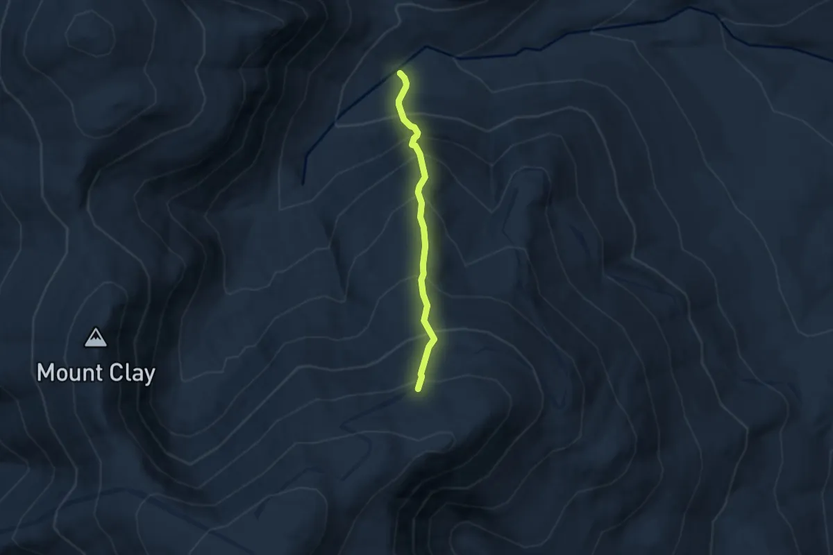
Medium · Trail
Wamsutta Trail
4.6 km · ↑ 664 m · 2 h 32 min
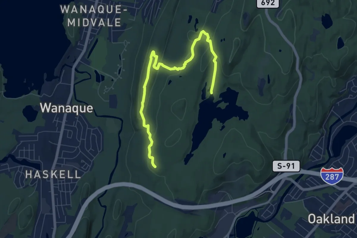
Medium · Trail
Wanaque Ridge Trail
9.6 km · ↑ 295 m · 2 h 54 min
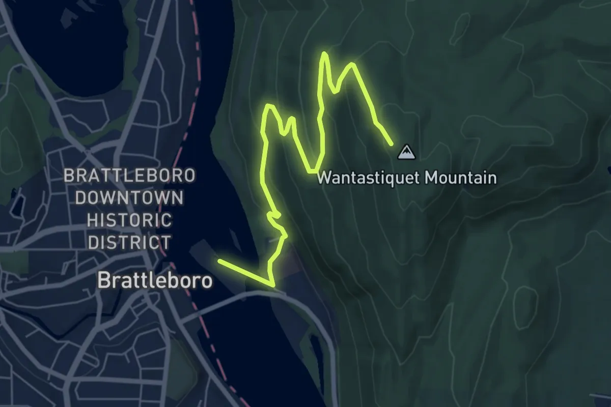
Medium · Trail
Wantastiquet-Monadnock Trail
7.3 km · ↑ 358 m · 2 h 30 min
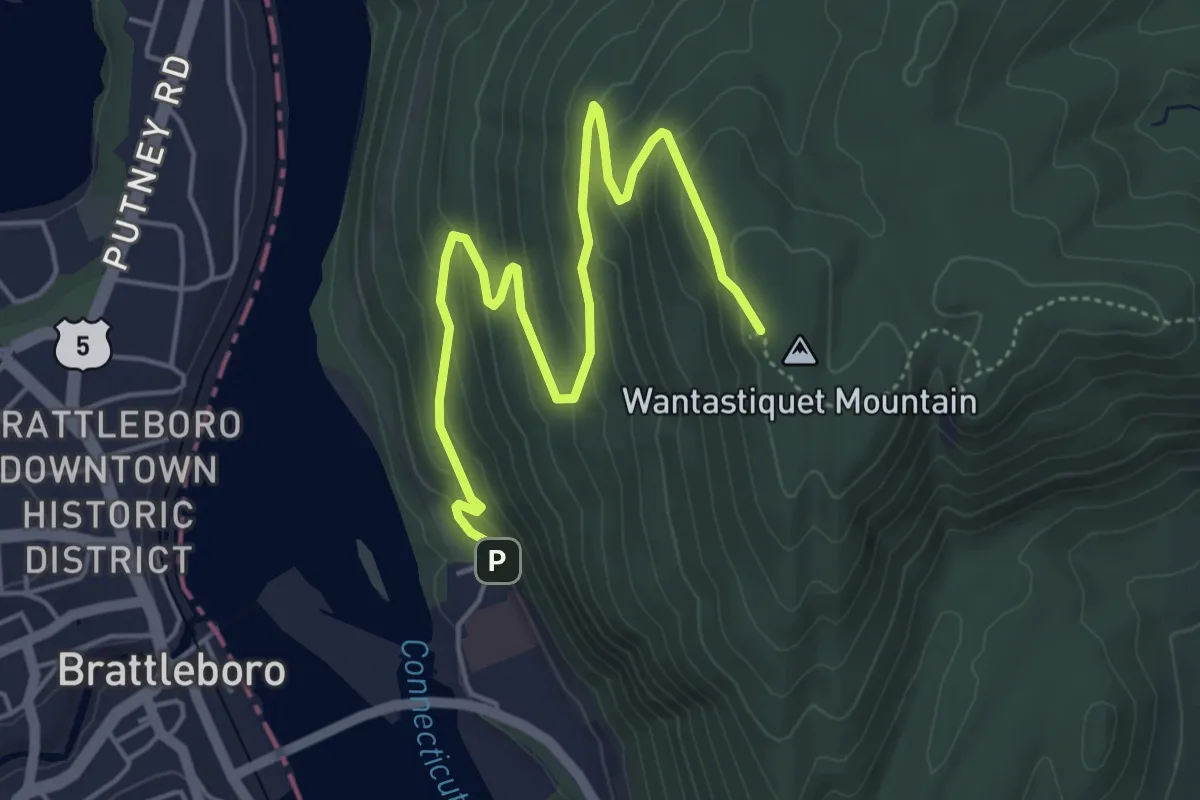
Medium · Trail
Wantastiquet Mountain Trail
6.1 km · ↑ 341 m · 2 h 10 min
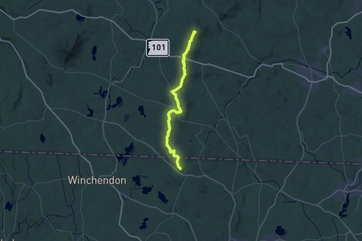
Demanding · Summit
Wapack Trail
58.1 km · ↑ 2292 m · 18 h 41 min
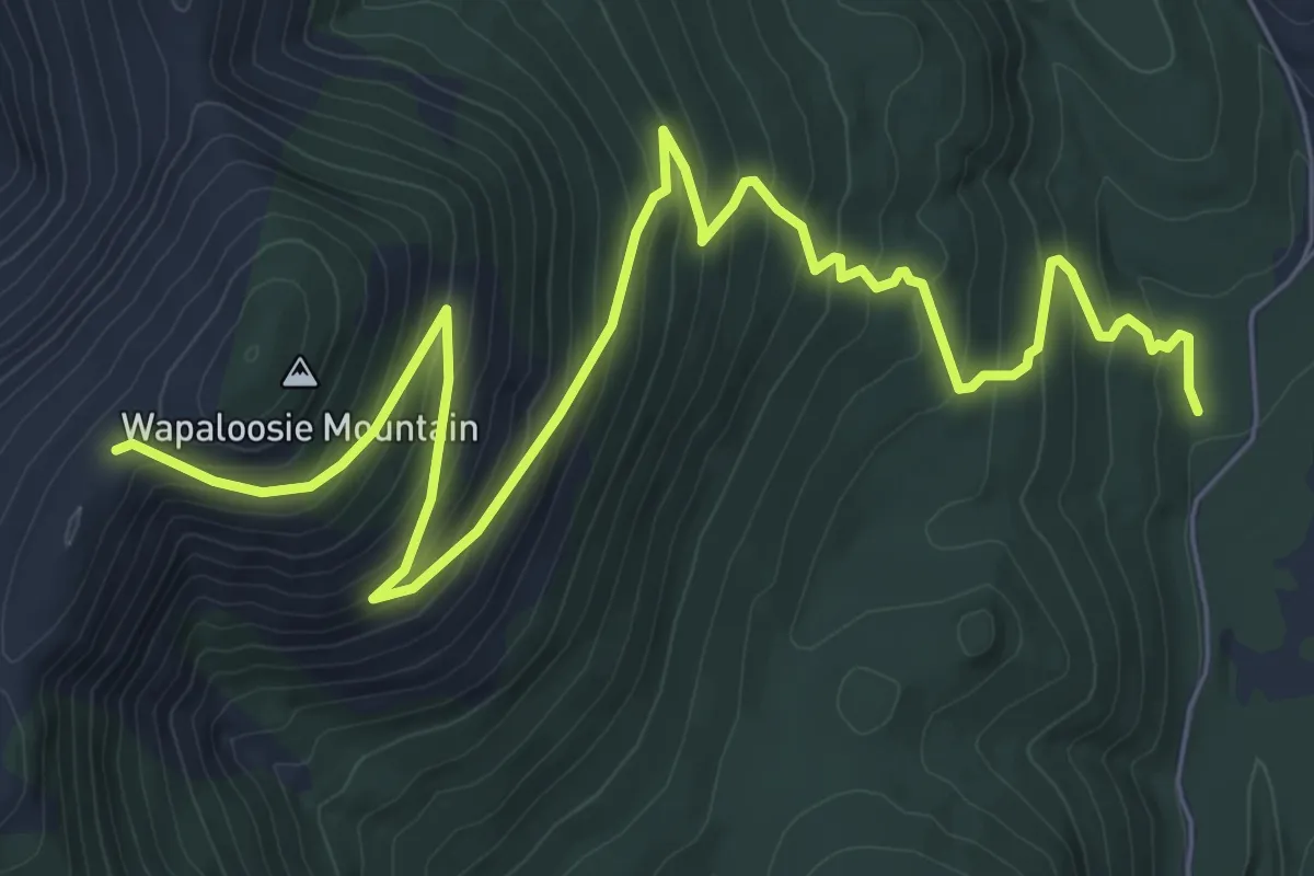
Medium · Trail
Wapaloosie
9.0 km · ↑ 568 m · 3 h 22 min
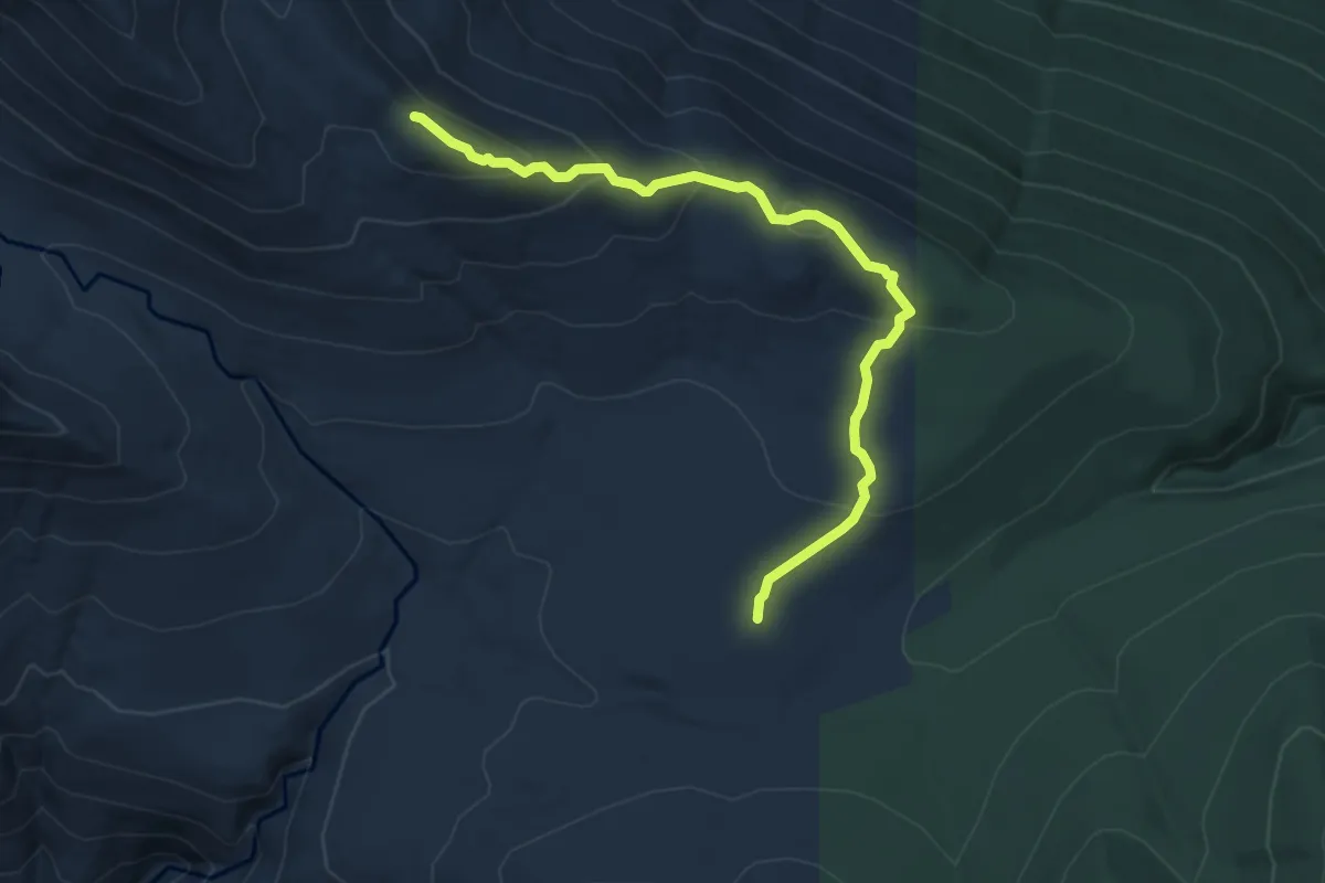
Easy · Trail
Waptus Burn Trail
5.5 km · ↑ 271 m · 1 h 52 min
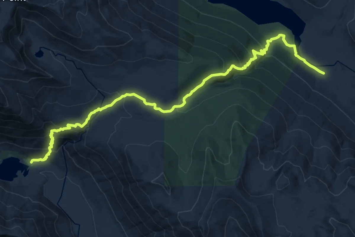
Demanding · Trail
Waptus Pass Trail
16.7 km · ↑ 950 m · 6 h
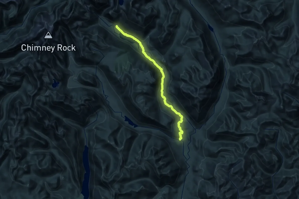
Medium · Trail
Waptus River Trail
16.6 km · ↑ 523 m · 5 h 11 min
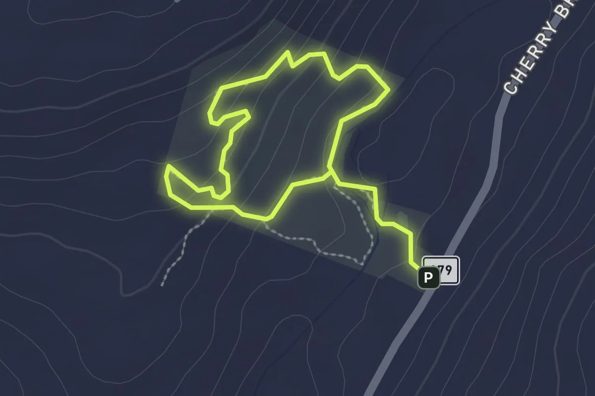
Easy · Trail
Waquaheag Trail
4.1 km · ↑ 177 m · 1 h 21 min
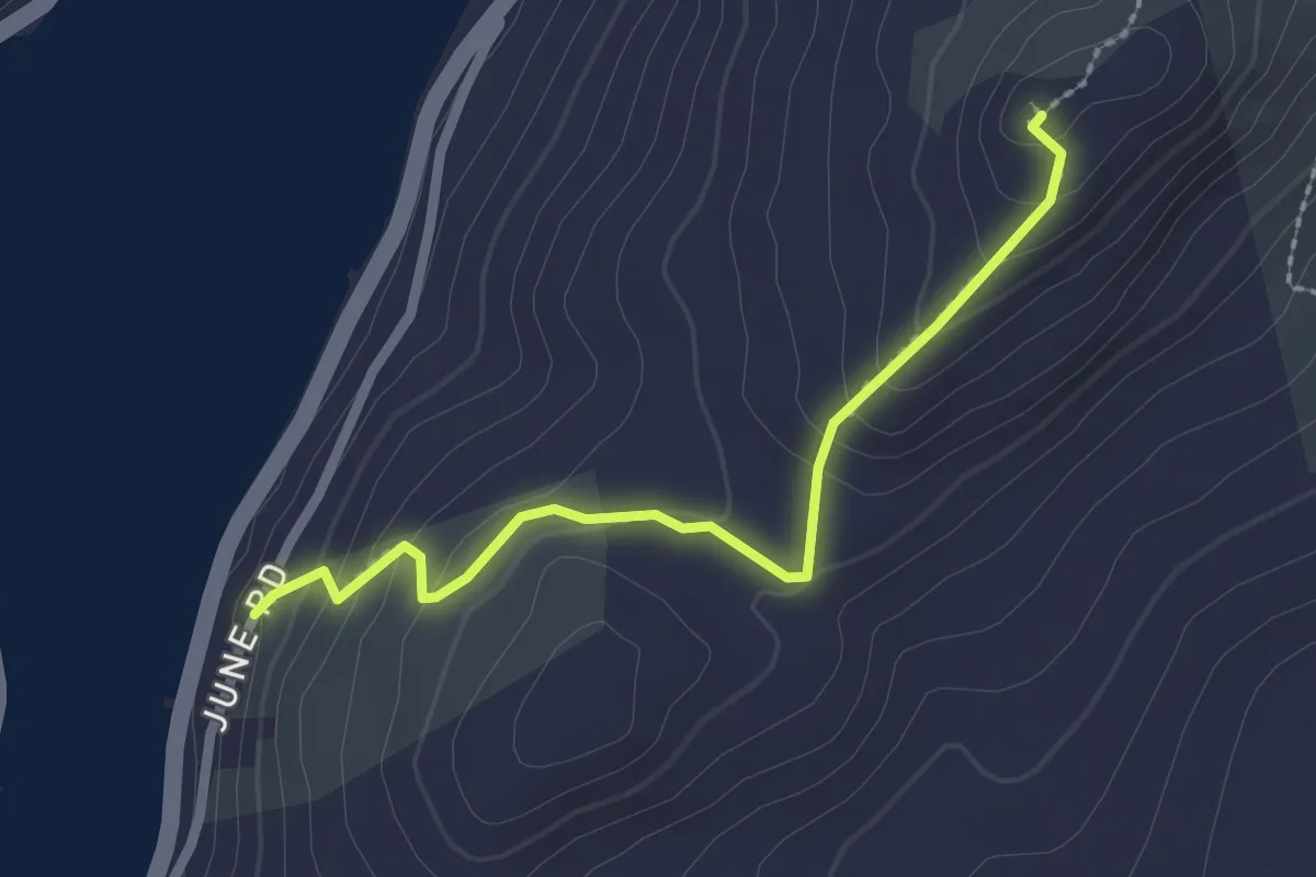
Easy · Trail
Waramaug Trail
2.5 km · ↑ 148 m · 54 min
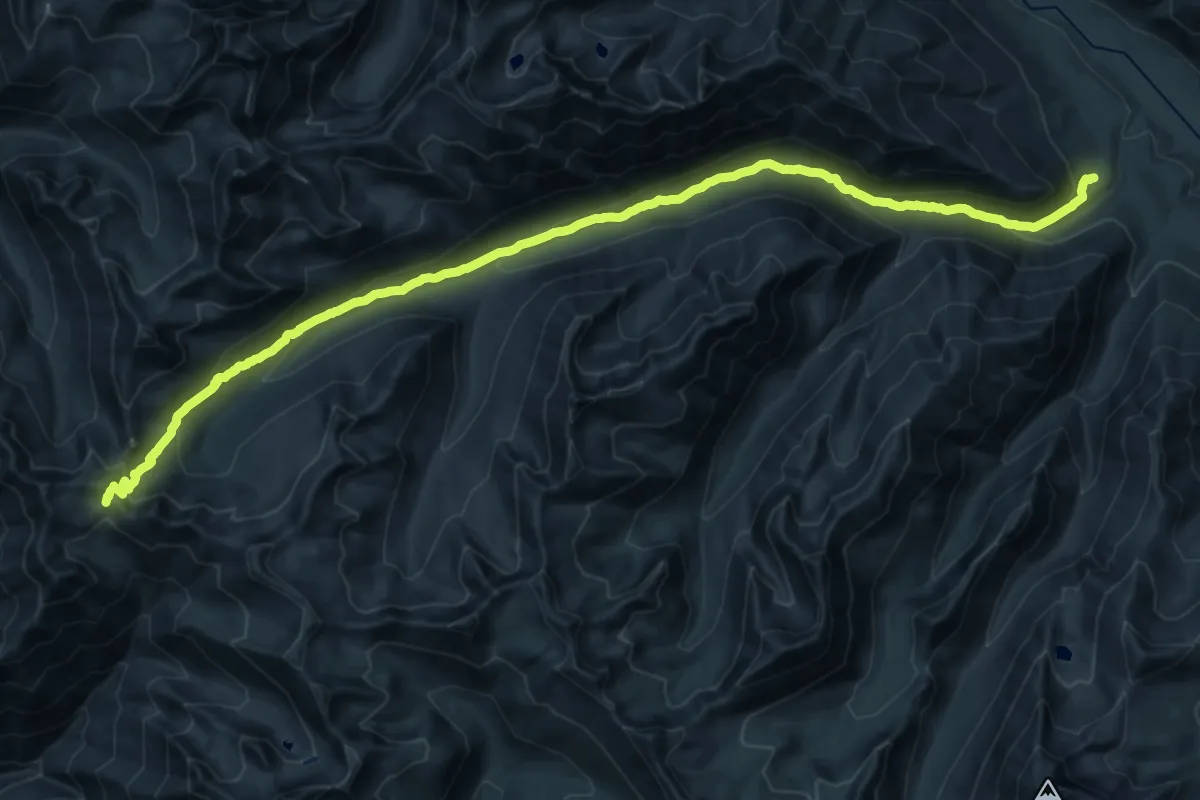
Demanding · Trail
War Creek Trail
15.3 km · ↑ 53 m · 4 h 30 min
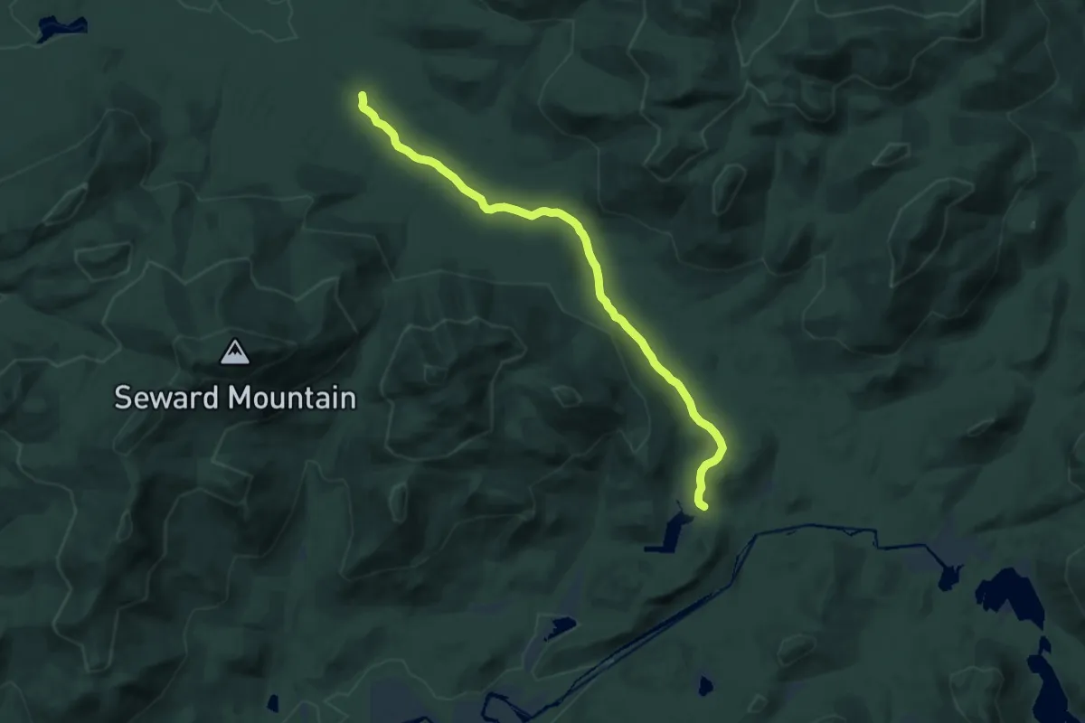
Medium · Trail
Ward Brook Truck Trail
13.4 km · ↑ 315 m · 3 h 50 min
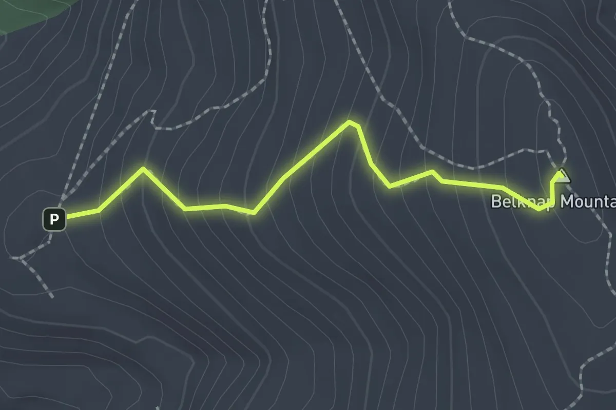
Easy · Summit
Warden's Trail
2.0 km · ↑ 202 m · 55 min