Trails in United States
10,367 hiking trails, each with its route, climb, walking time and grade.
All trails, page 202 of 216
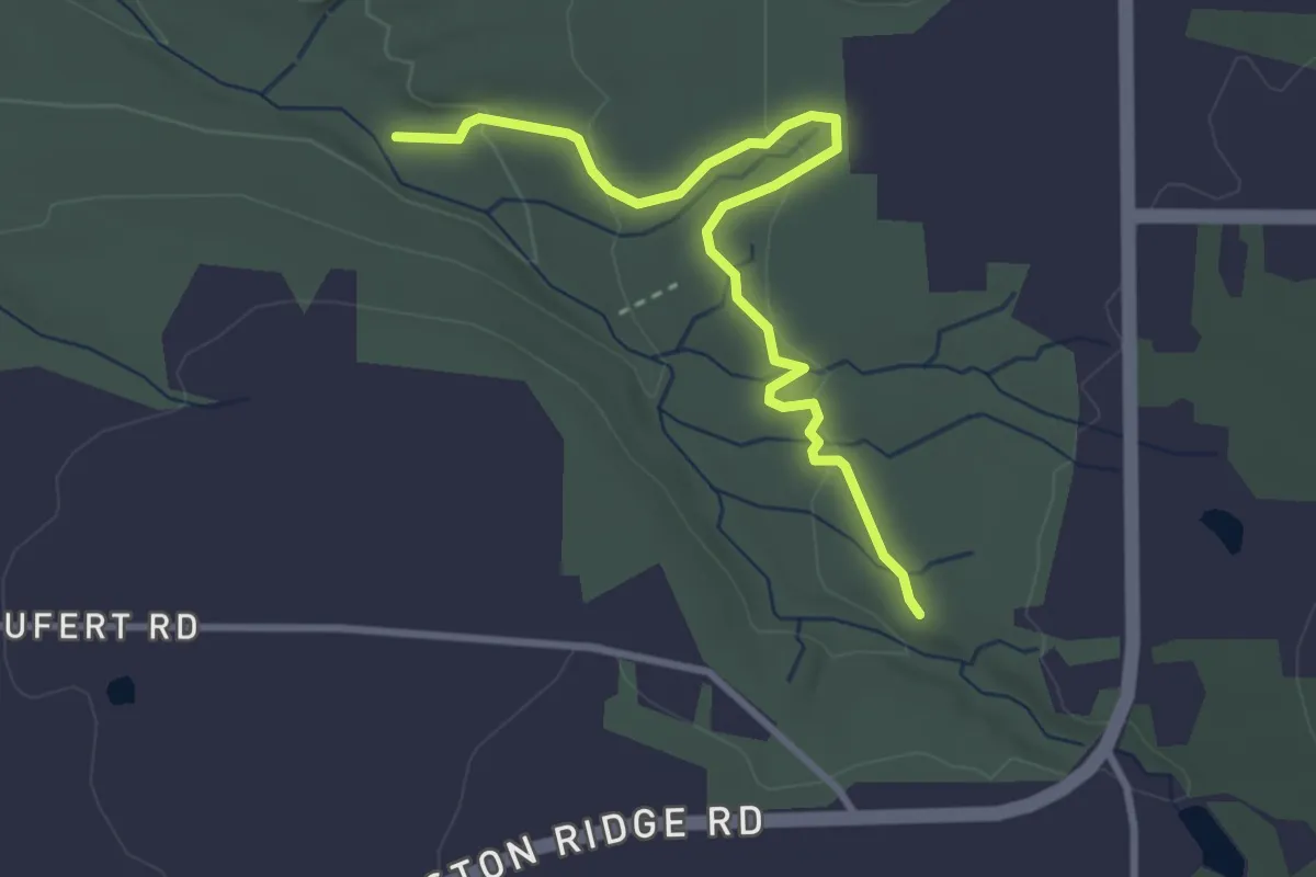
Easy · Trail
Ward Hill Trail
3.6 km · ↑ 85 m · 1 h 1 min
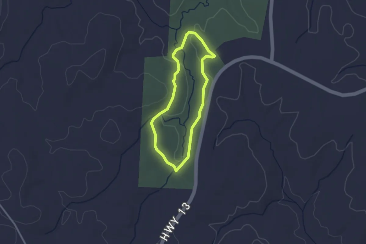
Easy · Trail
Ward Trail
2.3 km · ↑ 31 m · 39 min
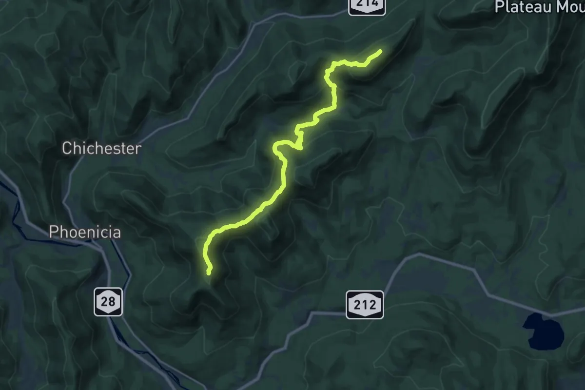
Demanding · Summit
Warner Creek Trail
19.7 km · ↑ 1051 m · 6 h 55 min
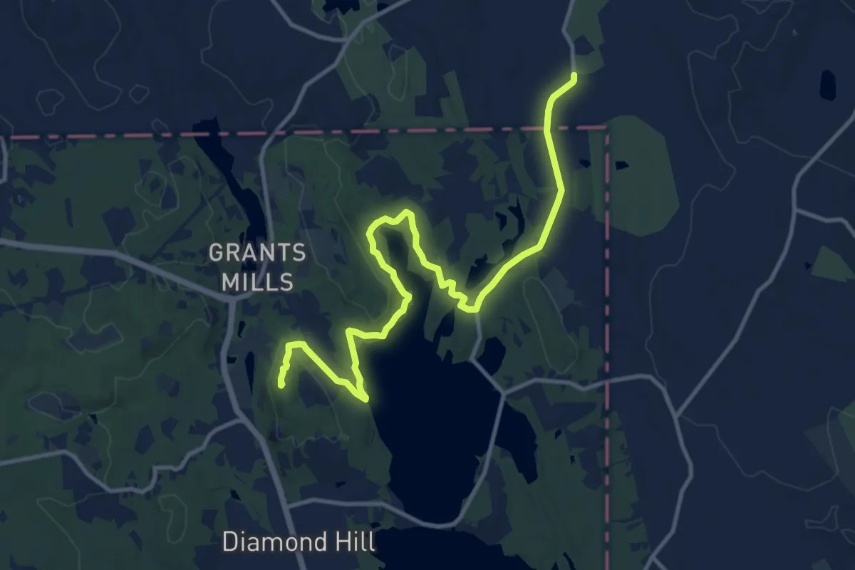
Medium · Summit
Warner Trail
14.1 km · ↑ 234 m · 3 h 50 min
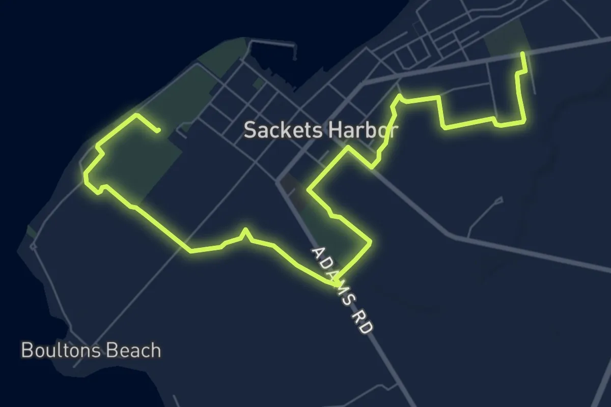
Medium · Trail
War of 1812 Bicentennial Trail
10.4 km · ↑ 16 m · 2 h 29 min
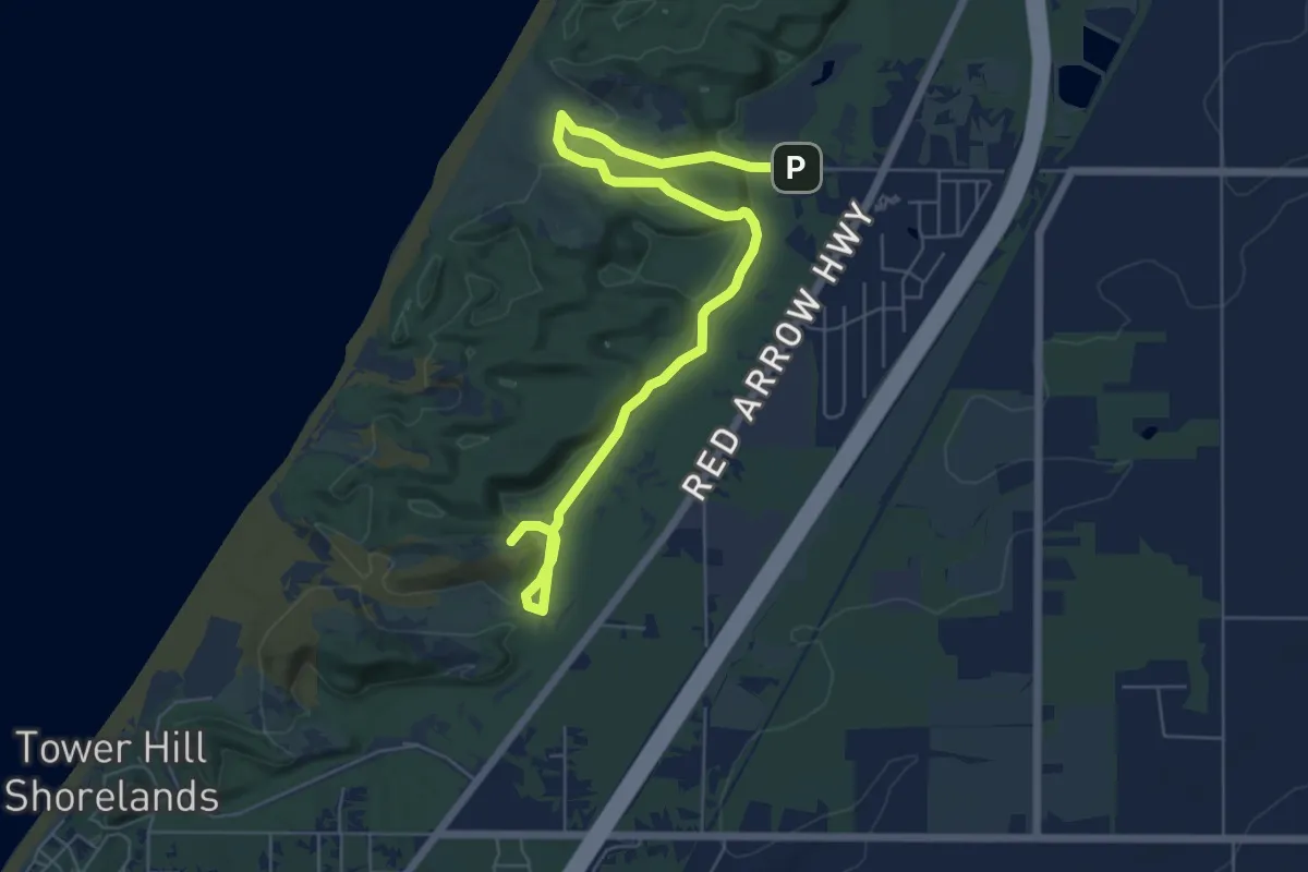
Medium · Summit
Warren Dunes Foot Trails
8.2 km · ↑ 194 m · 2 h 21 min
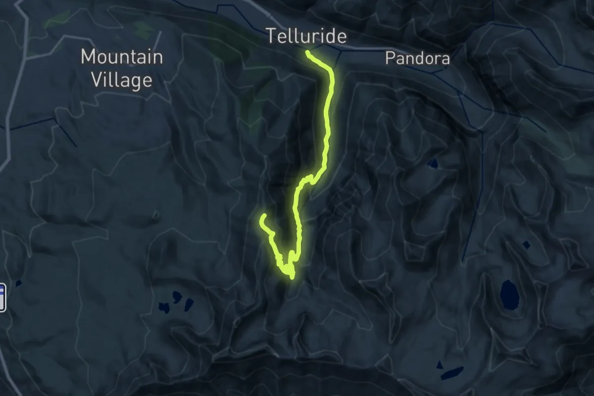
Demanding · Trail
Wasatch Descent
17.2 km · ↑ 1105 m · 6 h 27 min
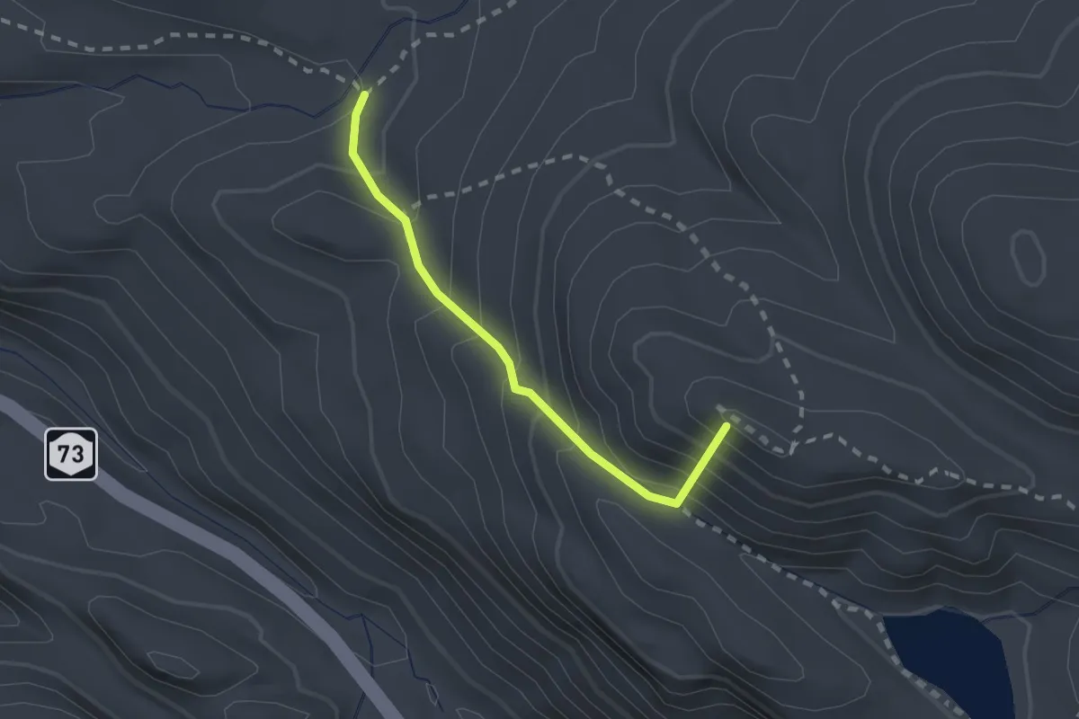
Easy · Summit
Washbowl Trail
1.9 km · ↑ 252 m · 1 h
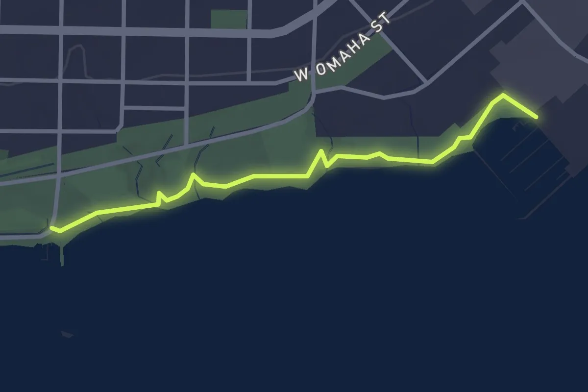
Easy · Trail
Washburn Lakefront Parkway
2.7 km · ↑ 9 m · 39 min
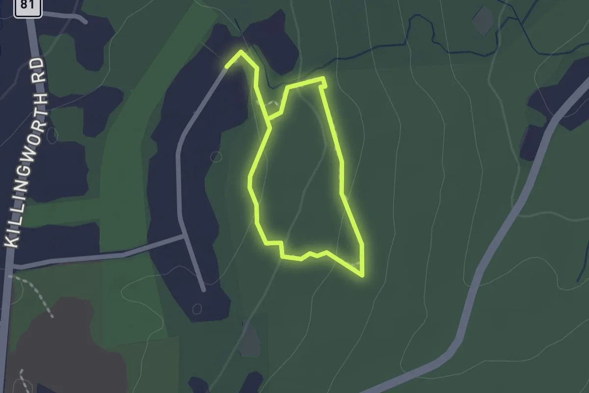
Easy · Trail
Washburn Trail
1.4 km · ↑ 36 m · 26 min
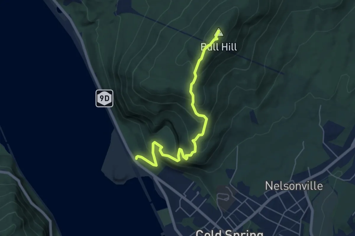
Medium · Summit
Washburn Trail
5.4 km · ↑ 420 m · 2 h 11 min
Easy · Trail
Washington Ditch Trail
7.2 km · ↑ 0 m · 1 h 48 min
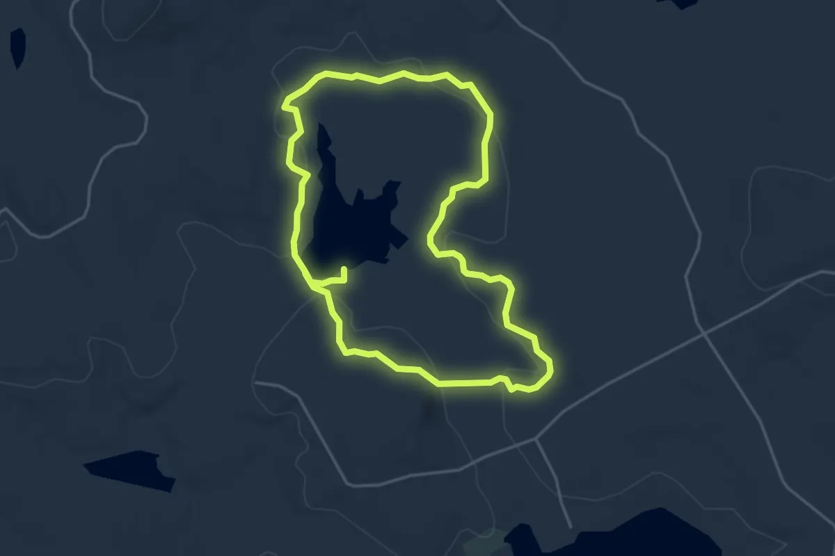
Easy · Trail
Washington Mountain Marsh Trail
4.2 km · ↑ 31 m · 1 h 7 min
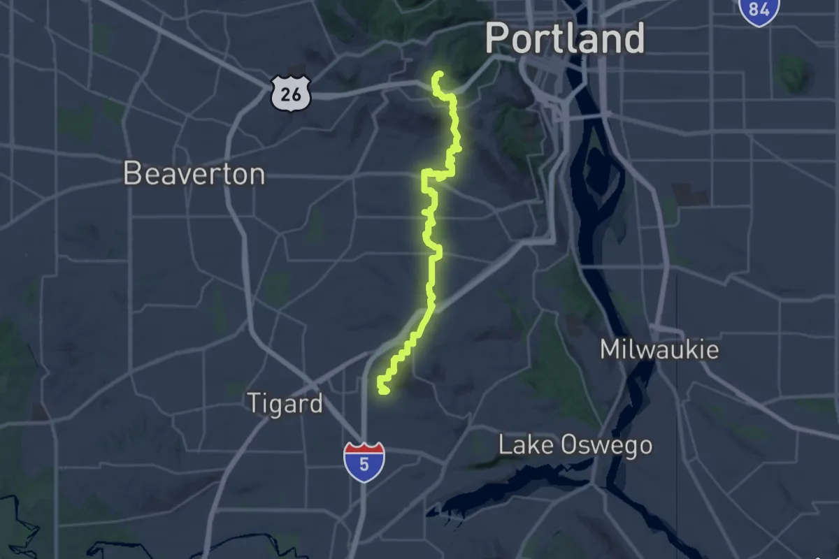
Medium · Trail
Washington Park to Lesser Park Trail
14.1 km · ↑ 326 m · 4 h 16 min
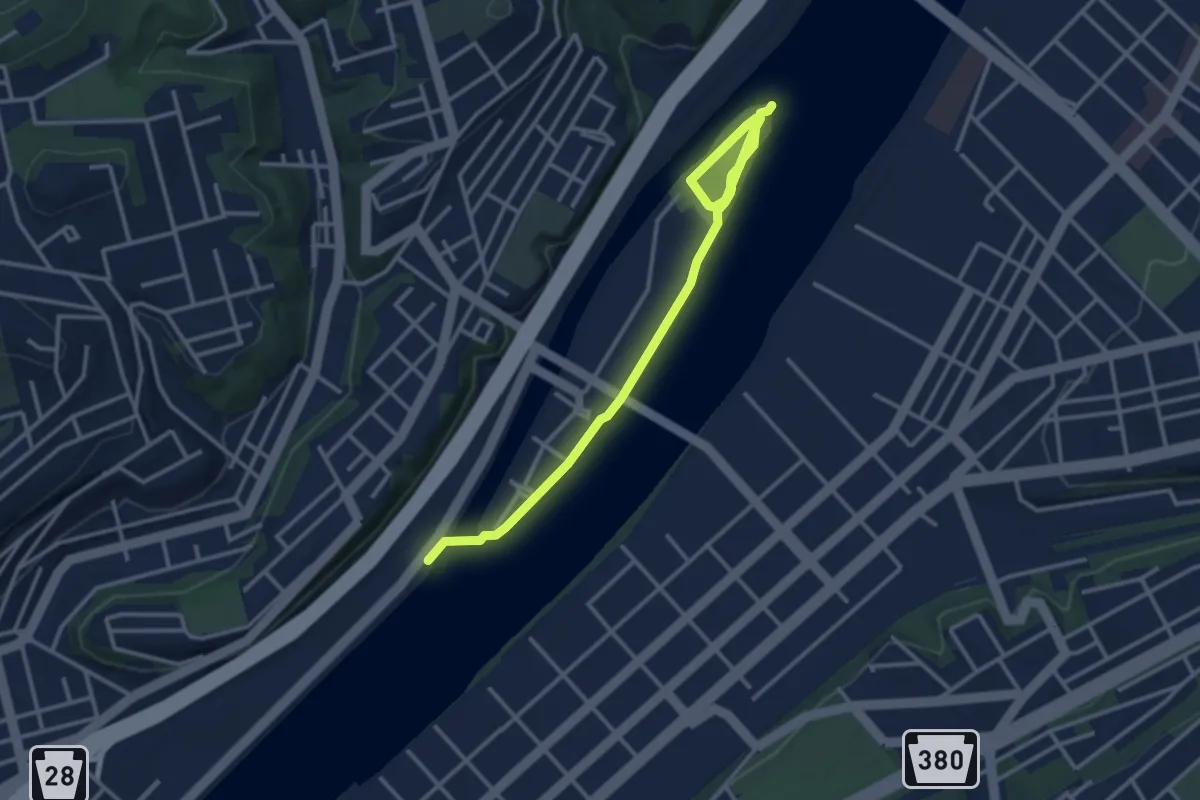
Easy · Trail
Washington's Landing Hiking
4.2 km · ↑ 16 m · 1 h 1 min
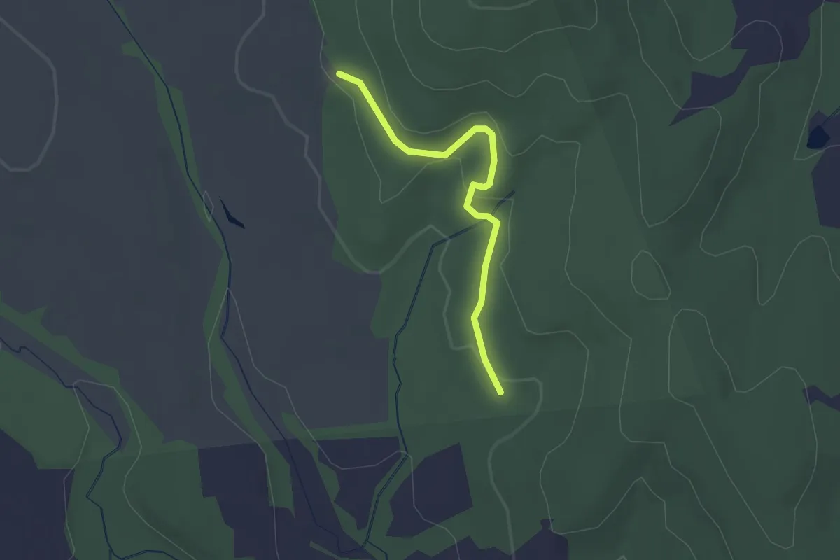
Easy · Trail
Washington's Ridge Trail
2.0 km · ↑ 55 m · 36 min
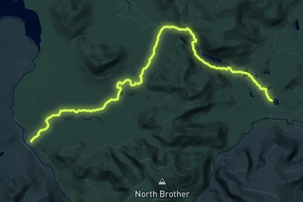
Demanding · Trail
Wassataquoik Lake Trail
21.0 km · ↑ 340 m · 5 h 58 min
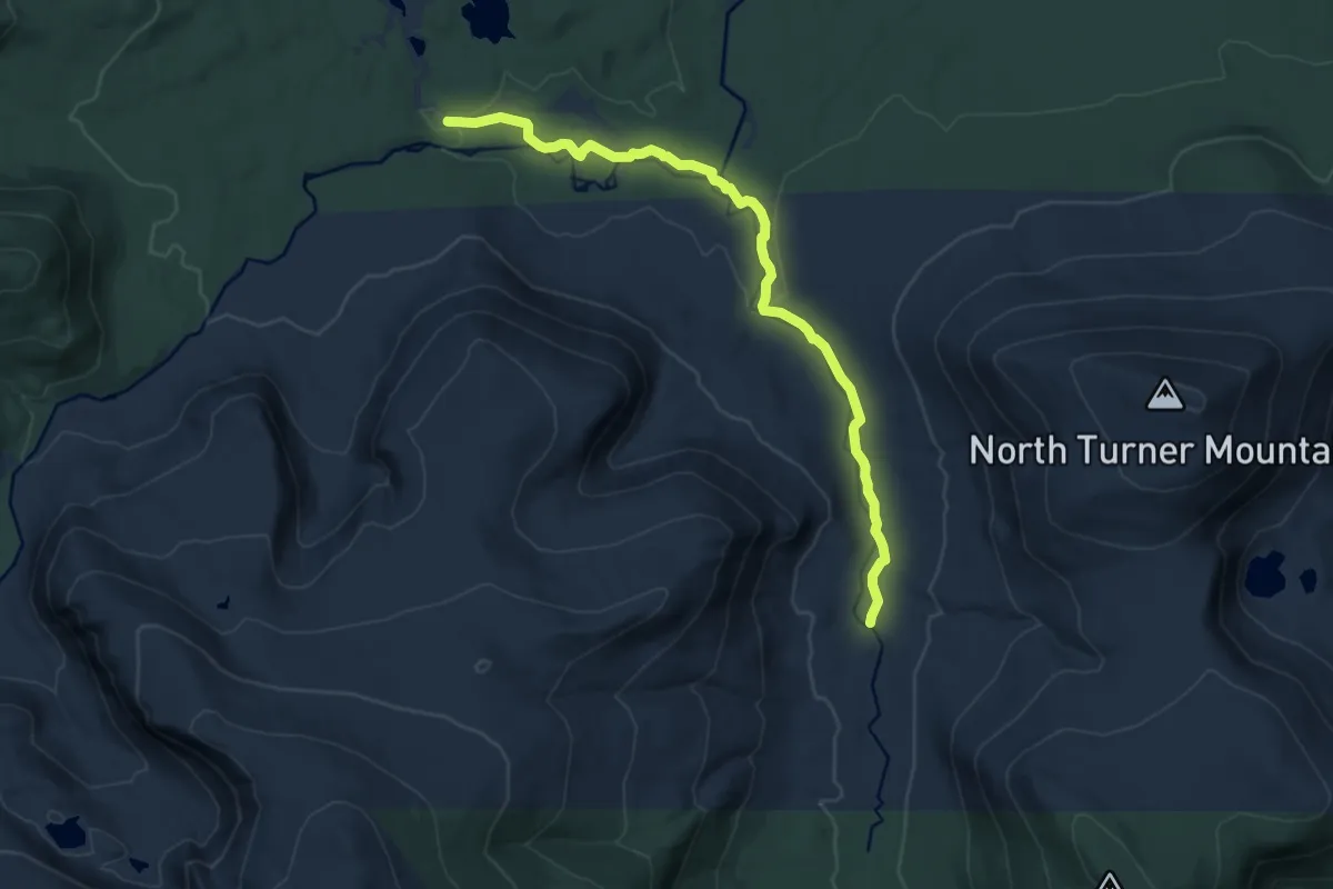
Medium · Trail
Wassataquoik Stream Trail
12.0 km · ↑ 94 m · 3 h 2 min
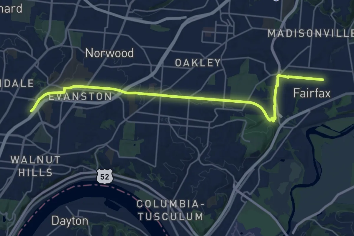
Demanding · Trail
Wasson Way
20.6 km · ↑ 167 m · 5 h 14 min
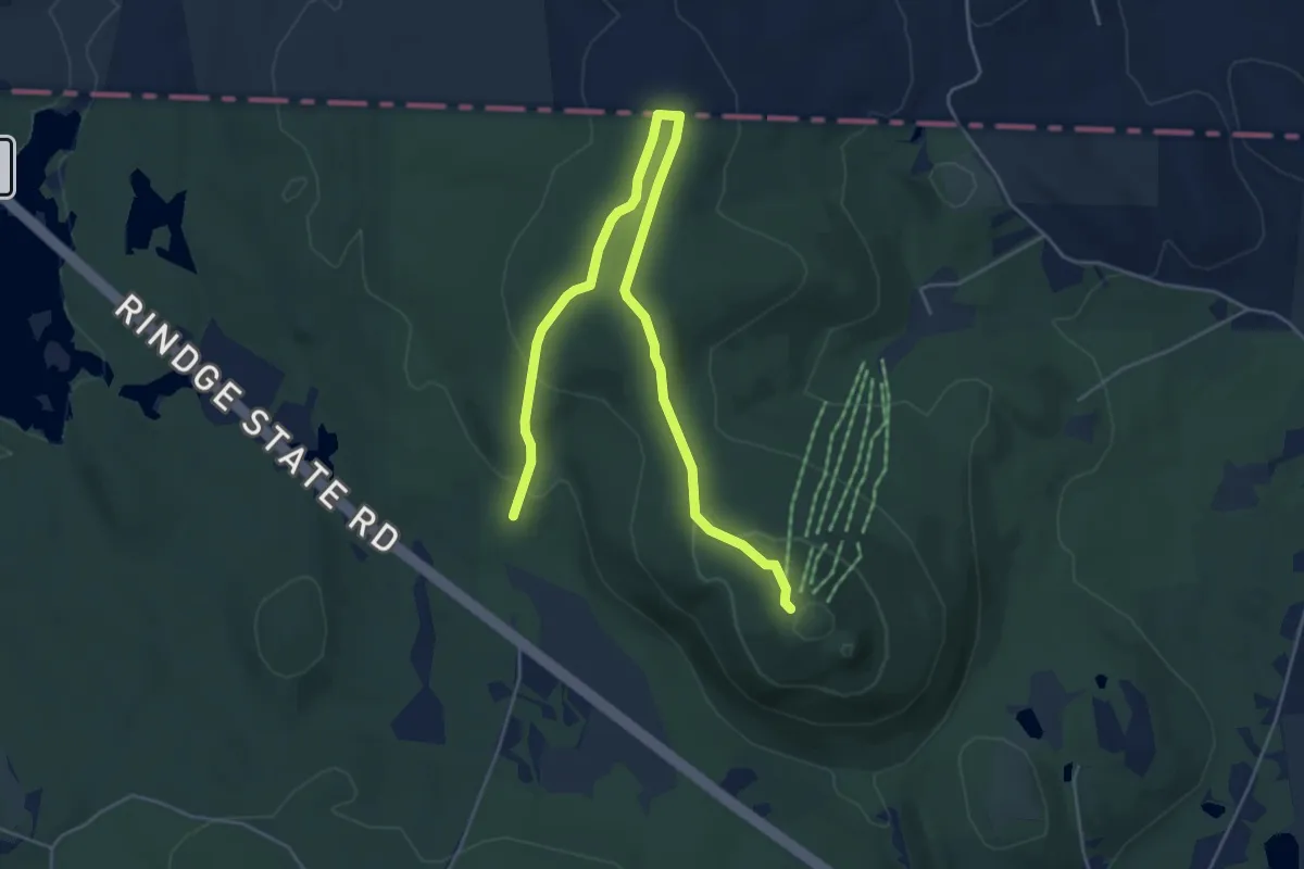
Easy · Trail
Watatic Summit
6.6 km · ↑ 252 m · 2 h 7 min
Easy · Trail
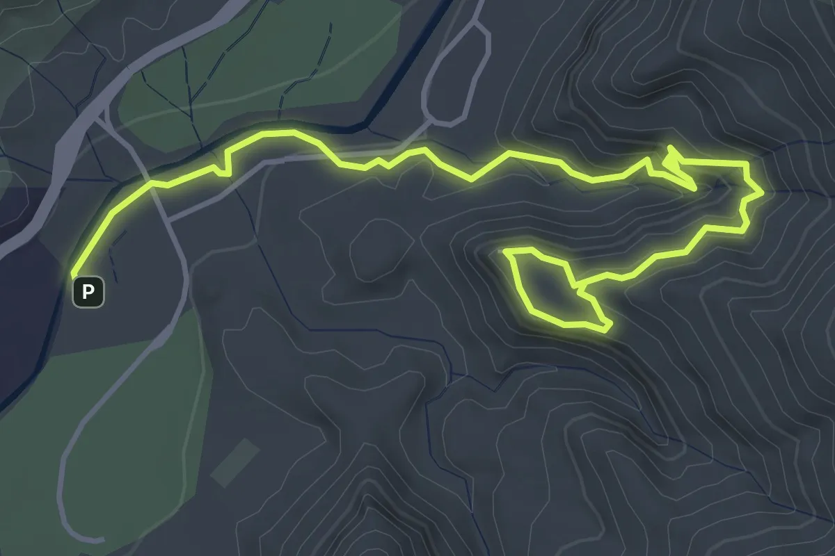
Watchman Trail
6.2 km · ↑ 263 m · 2 h 2 min
Easy · Trail
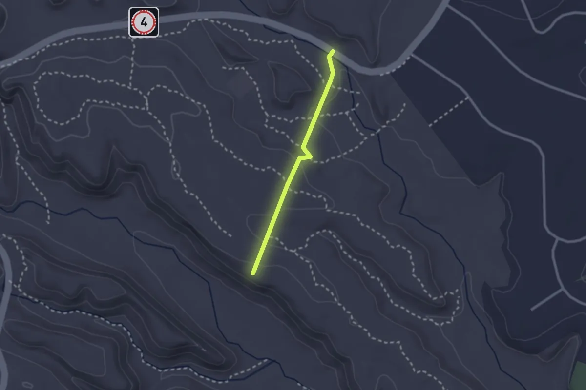
Water Canyon Overlook Trail
2.3 km · ↑ 44 m · 38 min
Demanding · Trail
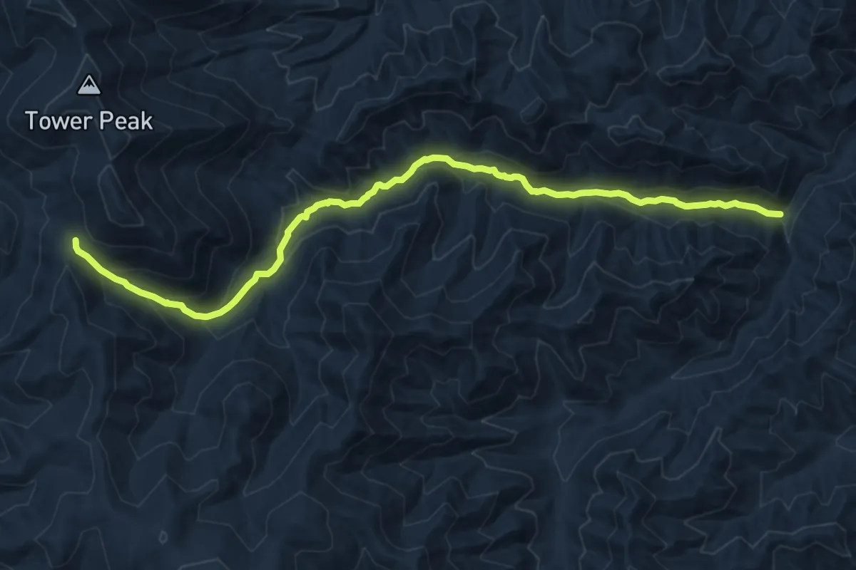
Water Canyon Trail
13.5 km · ↑ 685 m · 4 h 40 min
Easy · Trail
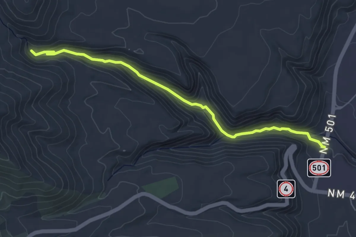
Water Canyon Trail
5.8 km · ↑ 199 m · 1 h 49 min
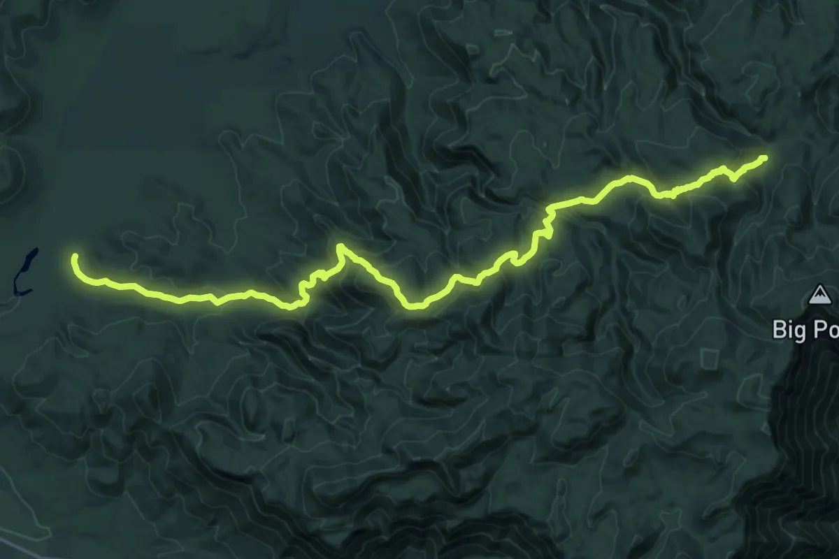
Demanding · Trail
Water Canyon Trail
12.3 km · ↑ 872 m · 4 h 43 min
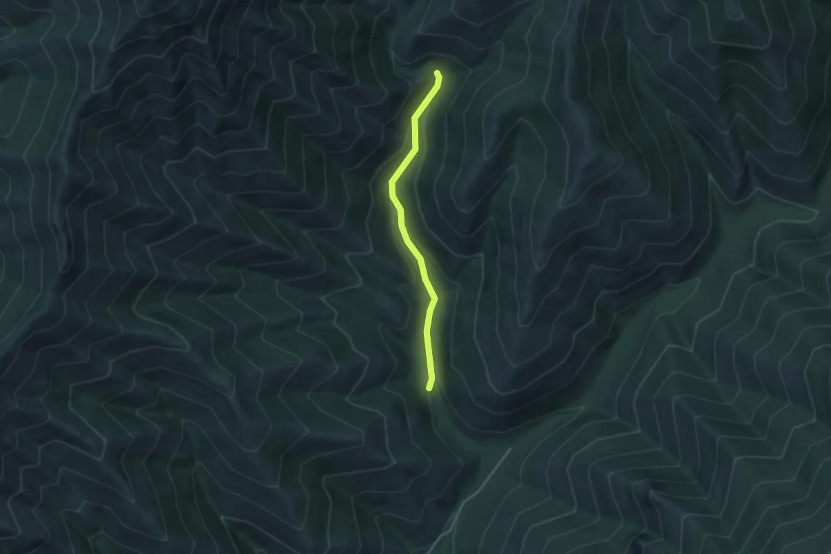
Easy · Trail
Water Canyon Trail
2.8 km · ↑ 117 m · 55 min
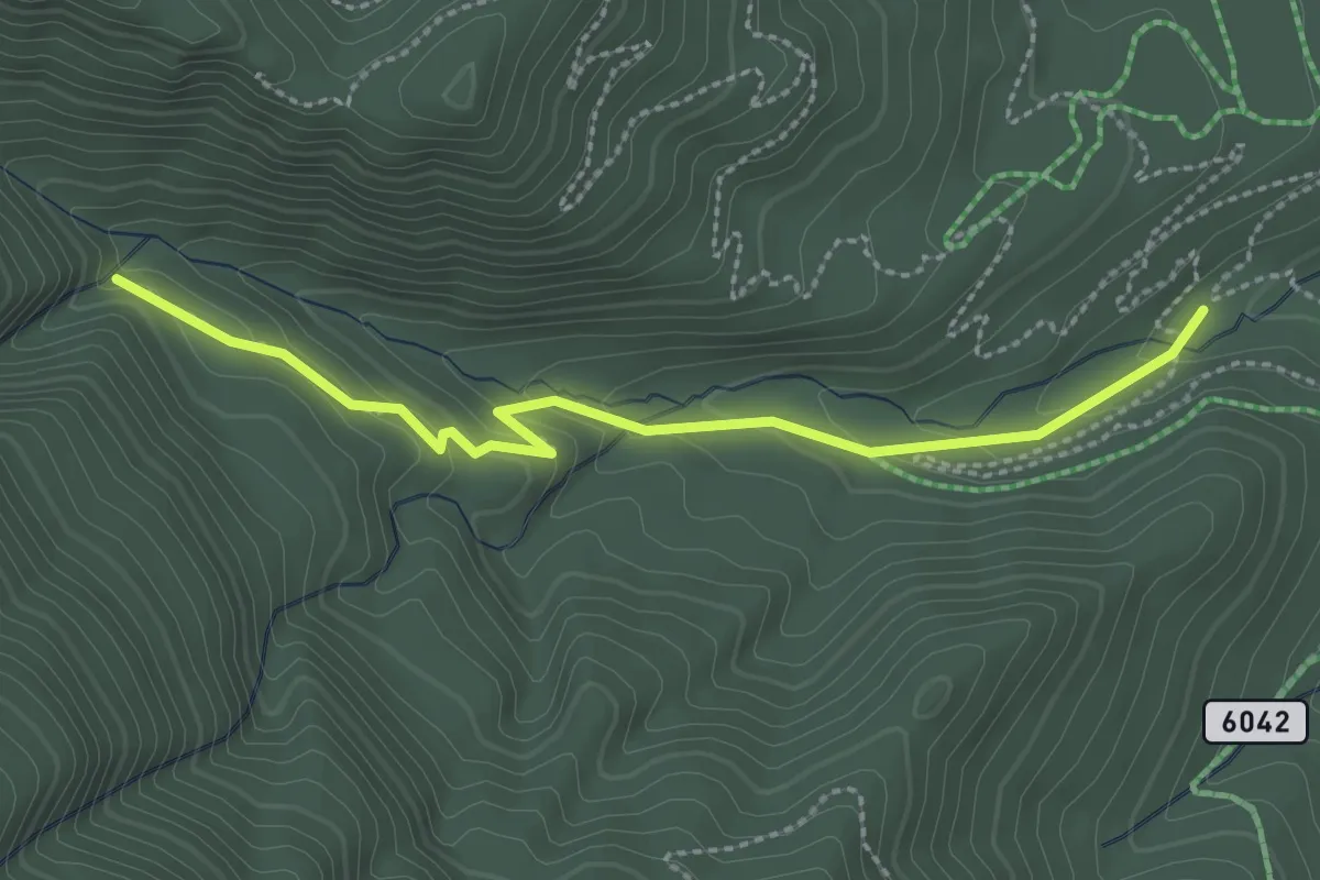
Easy · Trail
Waterfall Trail
2.9 km · ↑ 144 m · 59 min
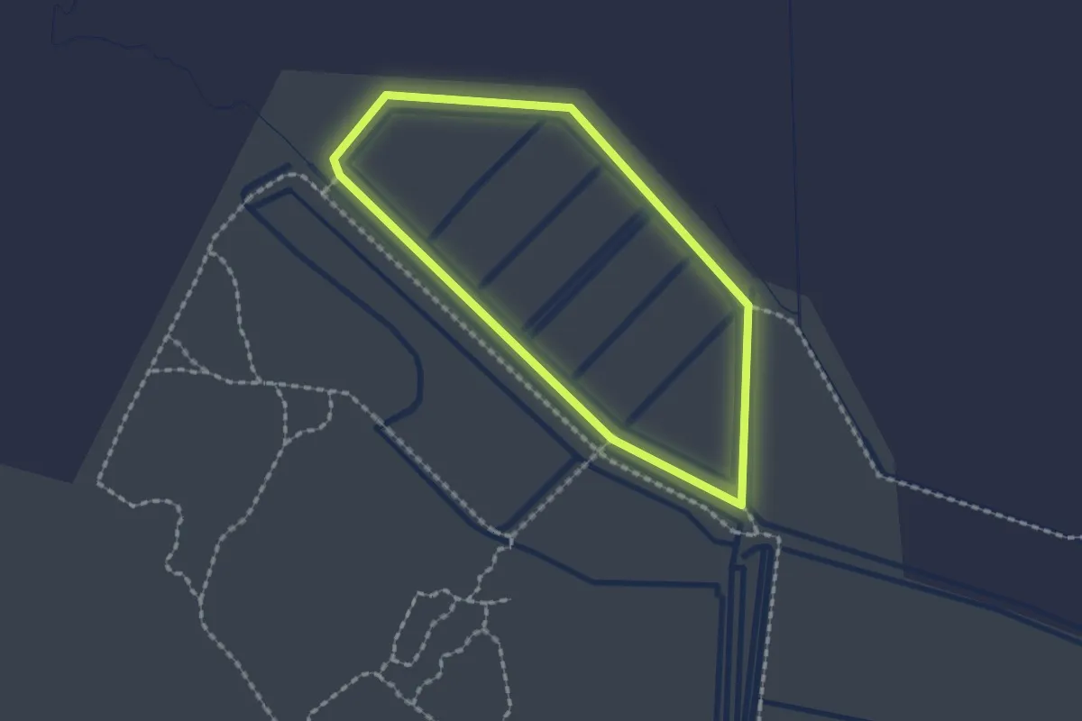
Easy · Trail
Waterfowl Trail
1.9 km · ↑ 0 m · 28 min
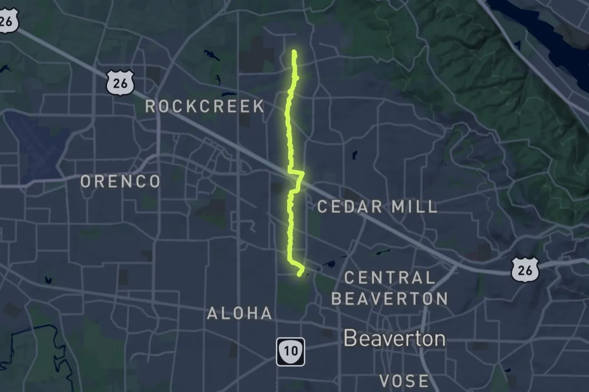
Demanding · Trail
Waterhouse Trail
18.0 km · ↑ 168 m · 4 h 38 min
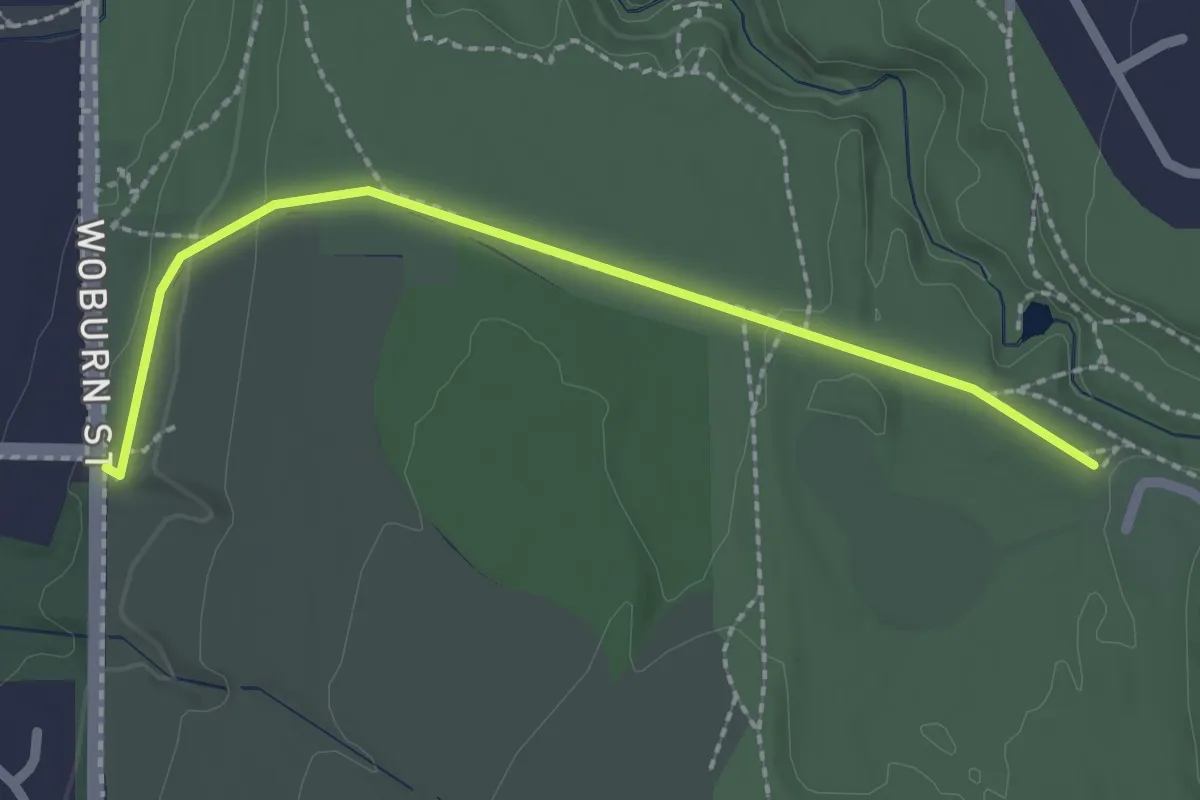
Easy · Trail
Waterline Trail
2.1 km · ↑ 35 m · 35 min
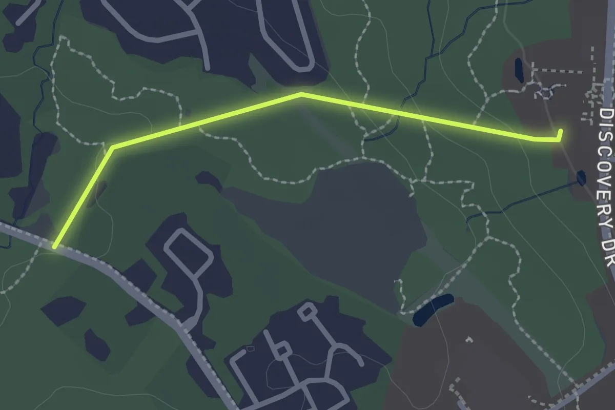
Easy · Trail
Water Line Trail
2.2 km · ↑ 36 m · 36 min
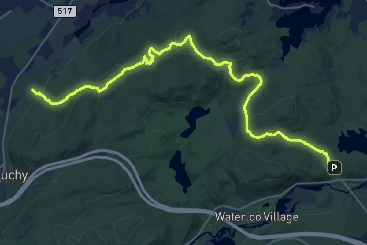
Medium · Trail
Waterloo-517 Trail
17.5 km · ↑ 496 m · 5 h 13 min
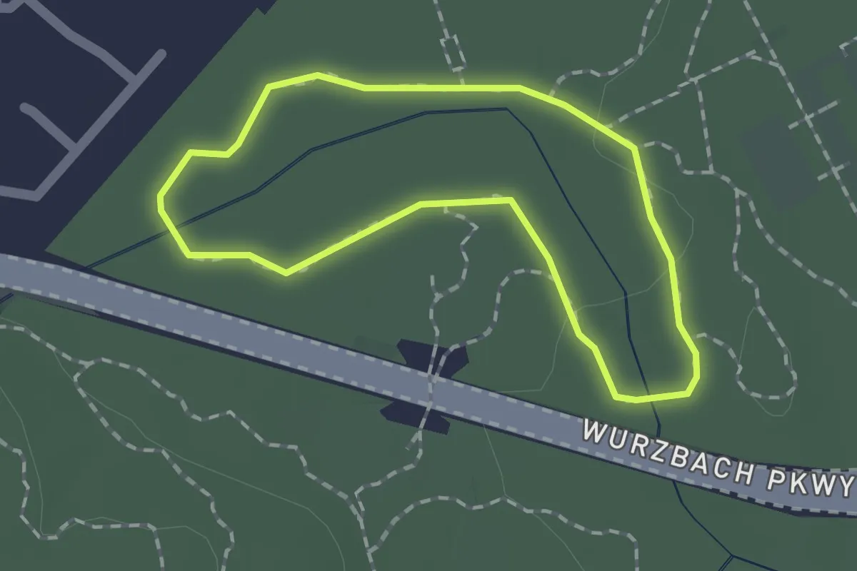
Easy · Trail
Water Loop Trail
1.6 km · ↑ 4 m · 25 min
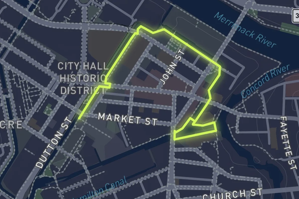
Easy · Trail
Waterpower Walk
3.4 km · ↑ 14 m · 50 min
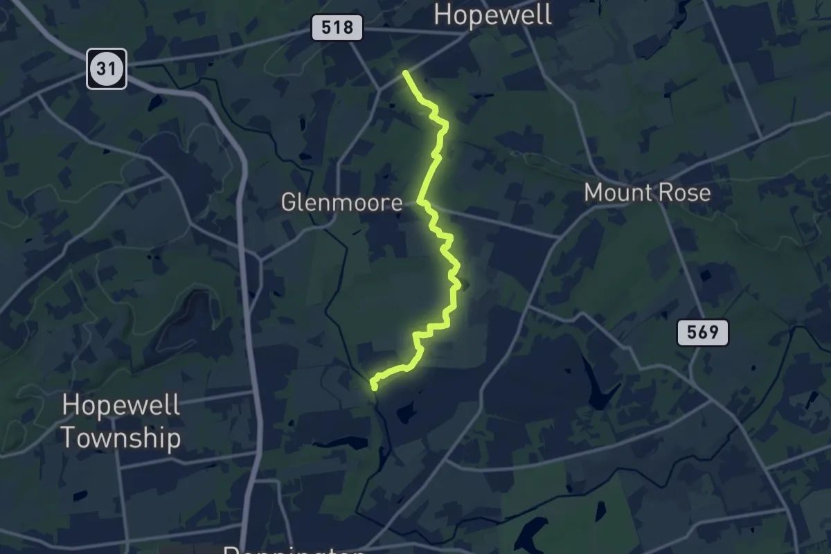
Medium · Trail
Watershed Trail
11.5 km · ↑ 103 m · 2 h 56 min
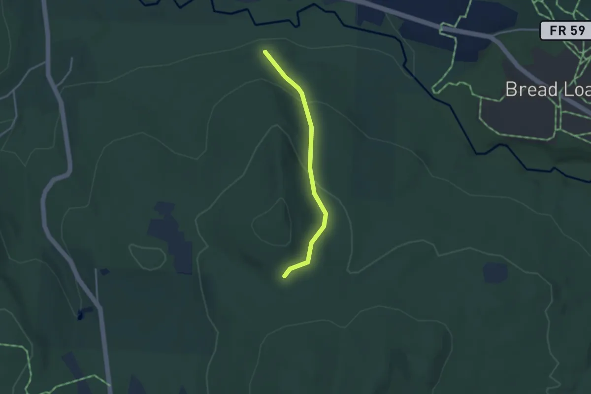
Easy · Trail
Water Tower North Star Trail
2.8 km · ↑ 105 m · 53 min
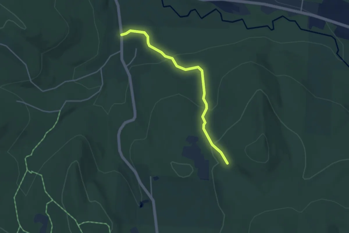
Easy · Trail
Water Tower Sundown Trail
3.6 km · ↑ 128 m · 1 h 7 min
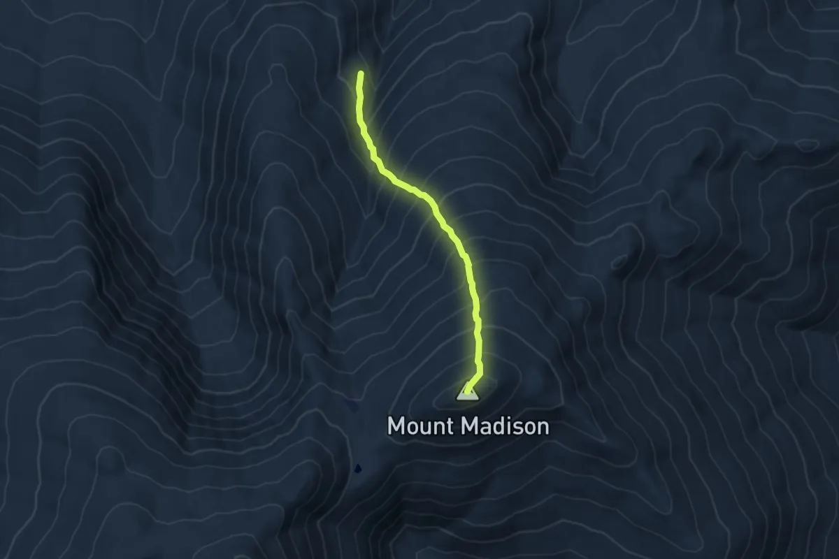
Medium · Summit
Watson Path
4.2 km · ↑ 668 m · 2 h 30 min
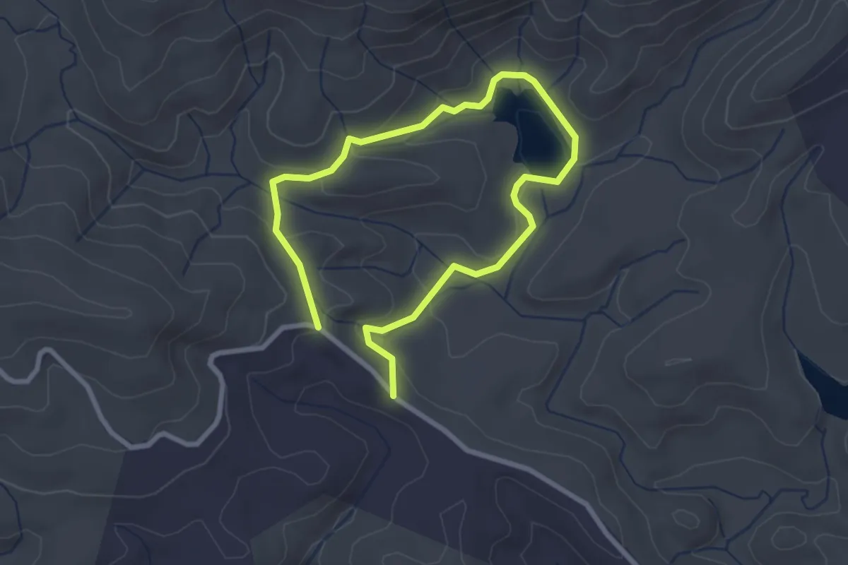
Easy · Trail
Wattacoo Pond Loop Trail
4.5 km · ↑ 138 m · 1 h 21 min
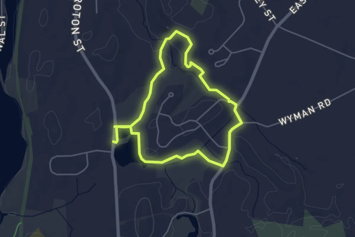
Easy · Trail
Wattles Pond Loop
3.6 km · ↑ 20 m · 56 min
Easy · Trail
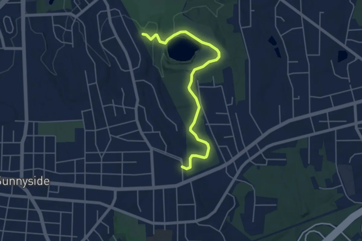
Waughton Connector Greenway
5.1 km · ↑ 51 m · 1 h 18 min
Medium · Trail
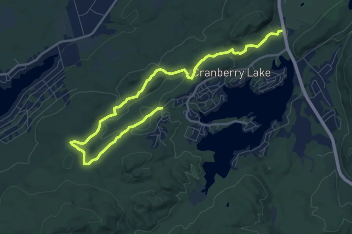
Waving Willie Trail
11.1 km · ↑ 264 m · 3 h 11 min
Demanding · Summit
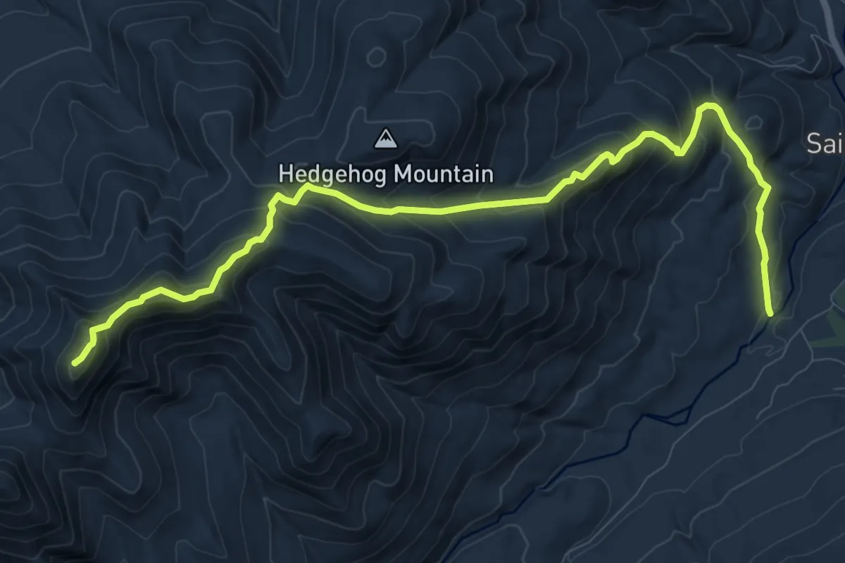
W.A. White Trail
12.1 km · ↑ 943 m · 4 h 53 min
Easy · Trail
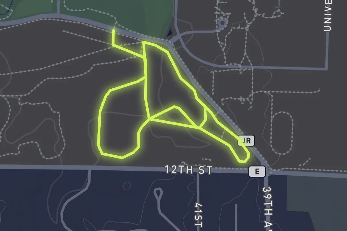
Wayne E. Dannehl National Cross Country Course
5.4 km · ↑ 45 m · 1 h 22 min
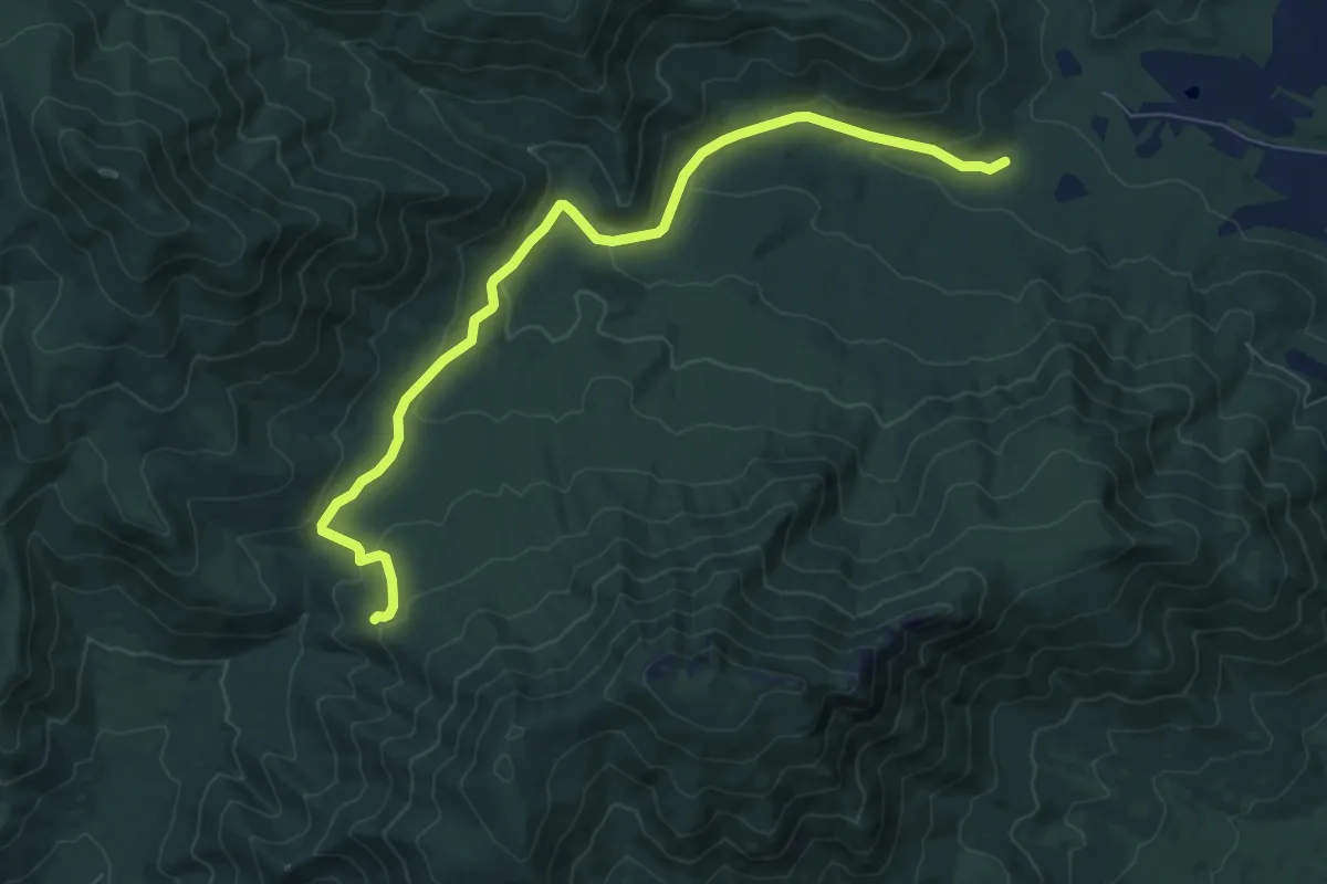
Medium · Trail
Weakley Hollow Fire Road
9.1 km · ↑ 311 m · 2 h 49 min
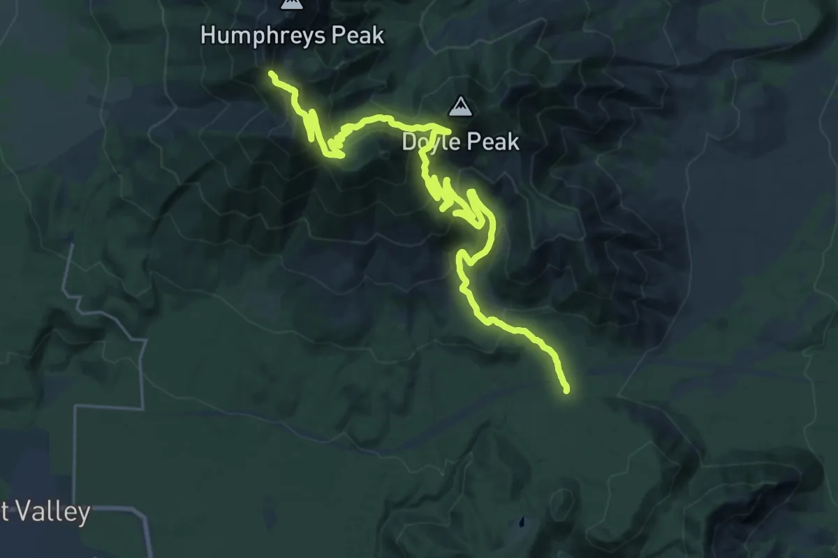
Demanding · Trail
Weatherford Trail #102
16.7 km · ↑ 1263 m · 6 h 20 min
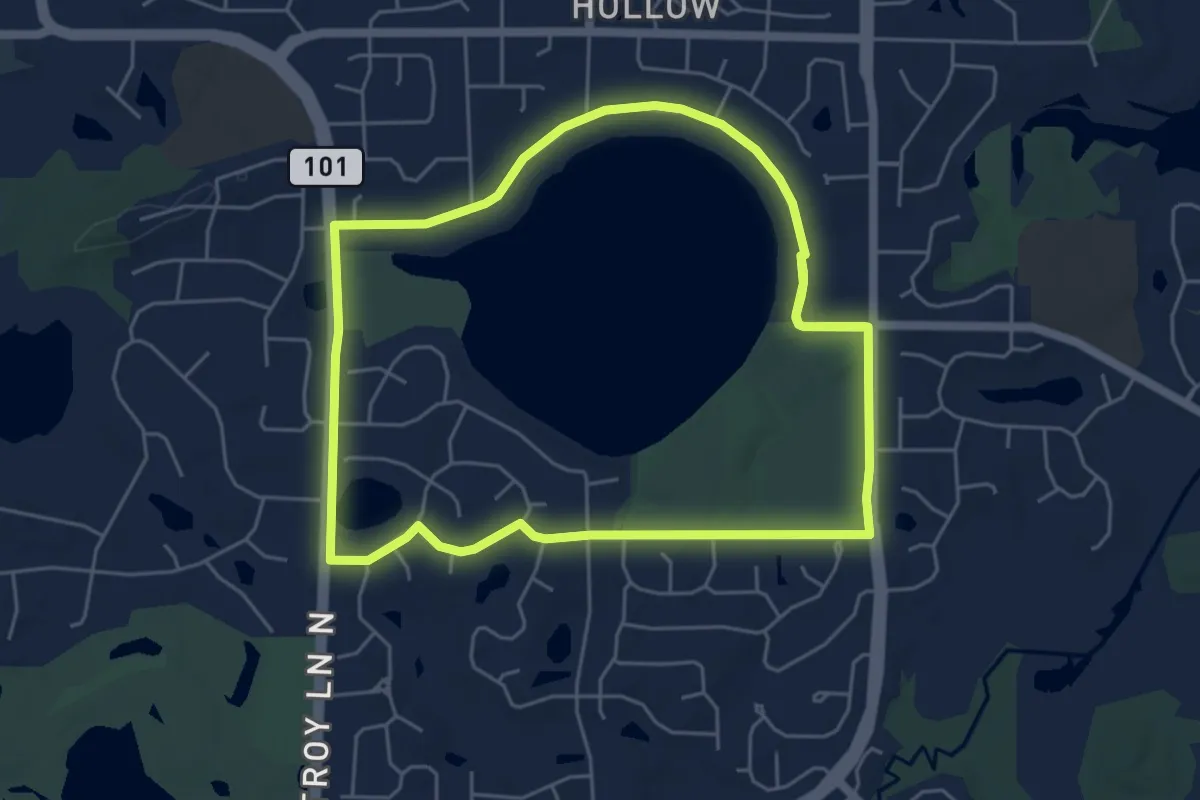
Easy · Trail
Weaver Lake Neighborhood Loop
5.6 km · ↑ 21 m · 1 h 28 min
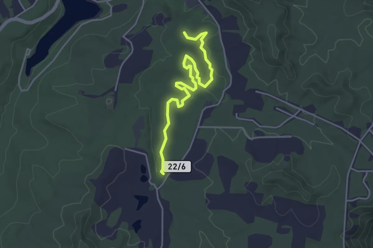
Easy · Trail
Weaver Way Trail
4.5 km · ↑ 47 m · 1 h 9 min