Trails in United States
10,367 hiking trails, each with its route, climb, walking time and grade.
All trails, page 203 of 216
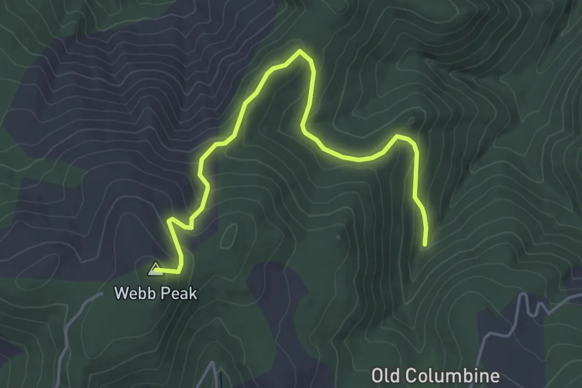
Easy · Summit
Webb Peak Trail #345
5.7 km · ↑ 311 m · 2 h 1 min
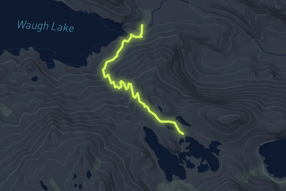
Easy · Trail
Weber Lake Trail
3.6 km · ↑ 210 m · 1 h 19 min
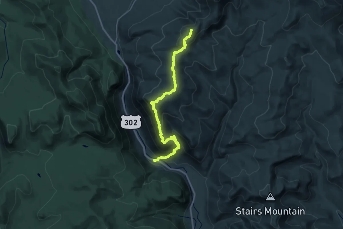
Demanding · Summit
Webster Cliff Trail
21.6 km · ↑ 1427 m · 8 h 11 min
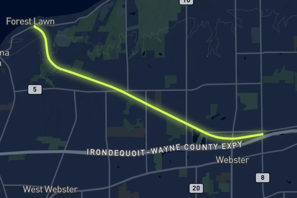
Medium · Trail
Webster Hojack Trail Walking
15.9 km · ↑ 48 m · 3 h 52 min
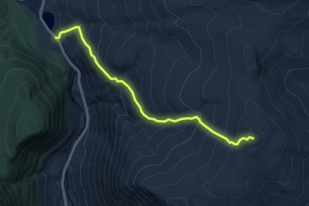
Medium · Summit
Webster-Jackson Trail
7.2 km · ↑ 683 m · 3 h 10 min
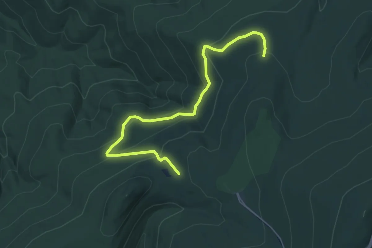
Easy · Trail
Weddlewood Trail
6.4 km · ↑ 297 m · 2 h 9 min
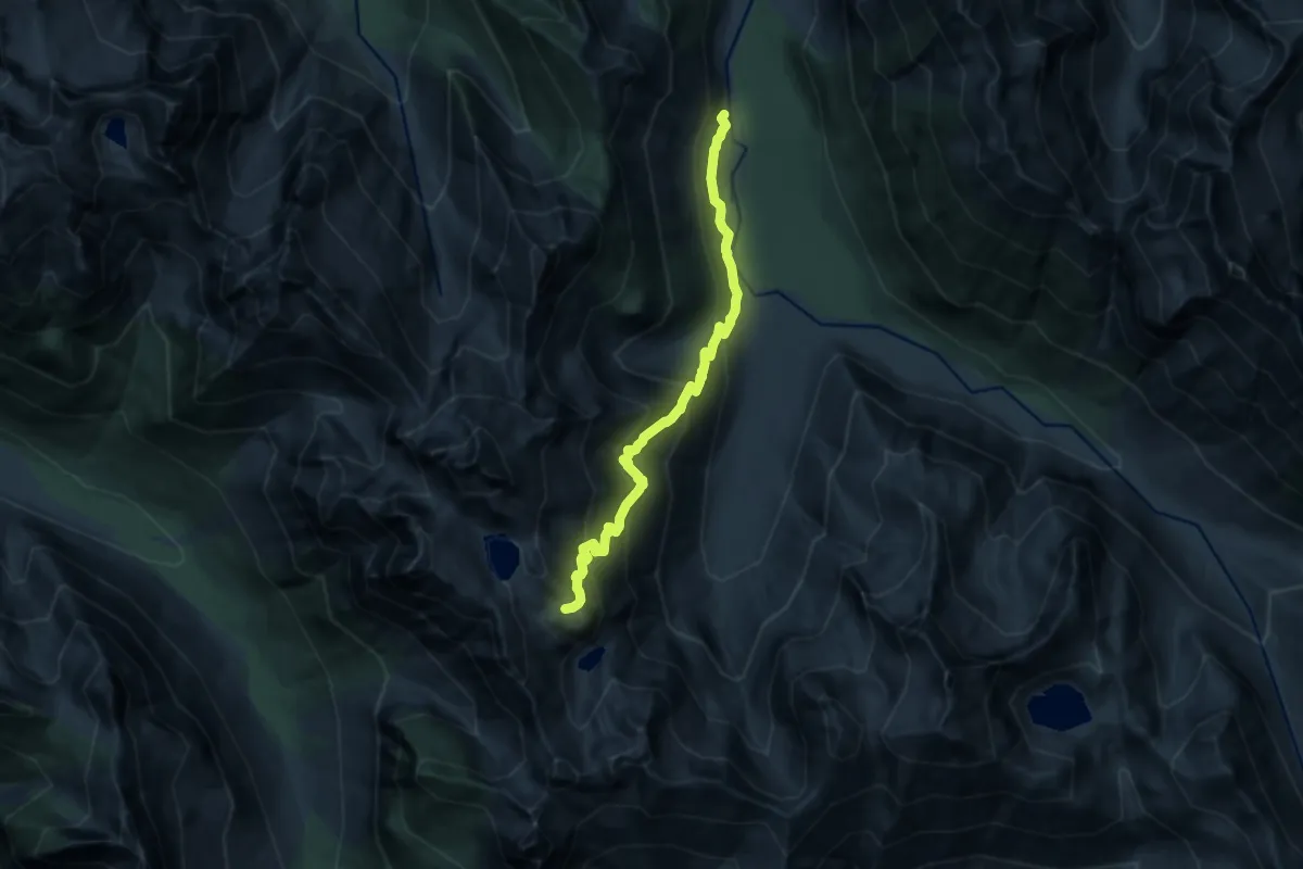
Demanding · Trail
Weden Creek (Gothic Basin) Trail
11.0 km · ↑ 924 m · 4 h 36 min
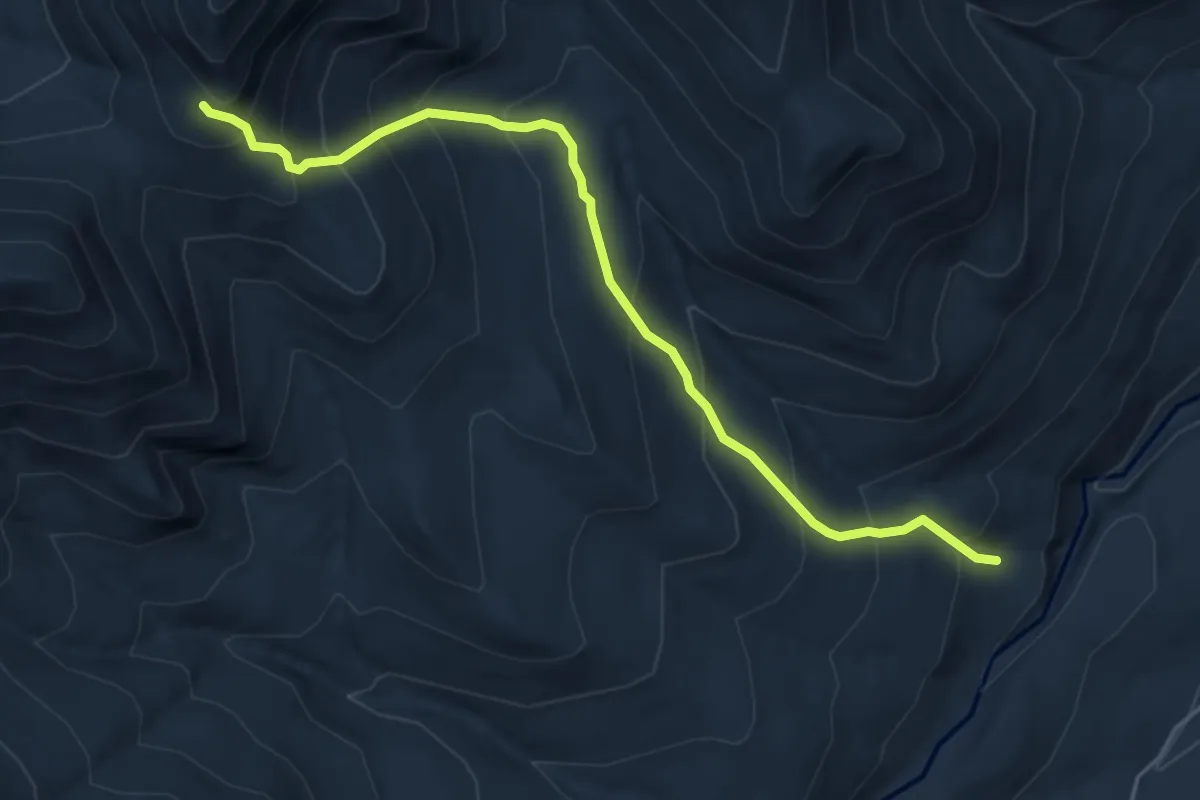
Medium · Trail
Wedge Brook Trail
5.0 km · ↑ 571 m · 2 h 26 min
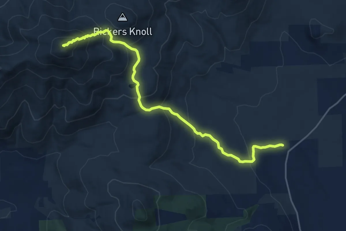
Demanding · Summit
Weeks Brook Trail
15.2 km · ↑ 828 m · 5 h 23 min
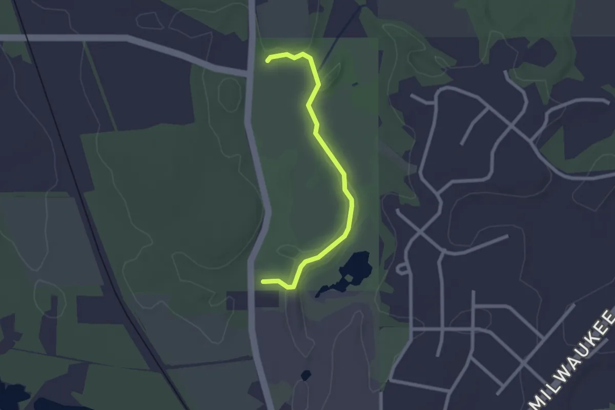
Easy · Trail
Wehmhoff Woods Trail
2.2 km · ↑ 20 m · 34 min
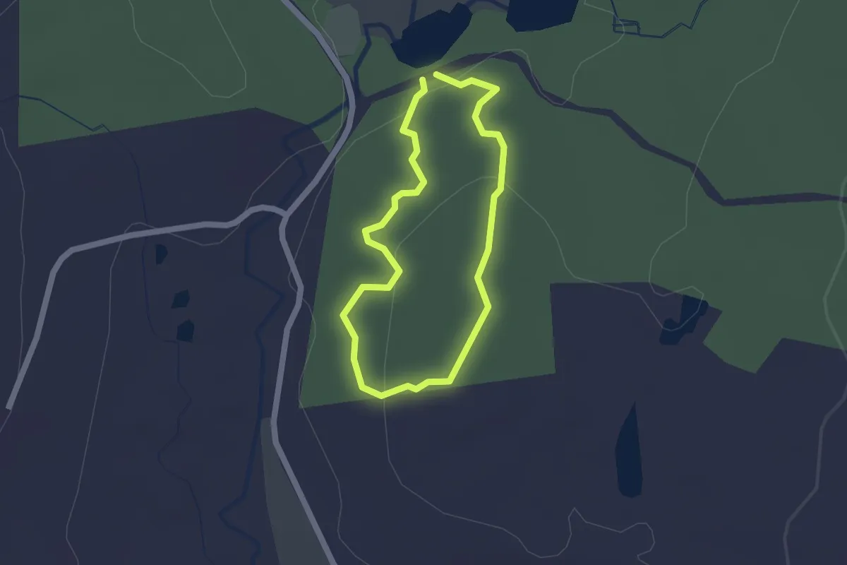
Easy · Trail
Weigold Trail
1.5 km · ↑ 47 m · 29 min
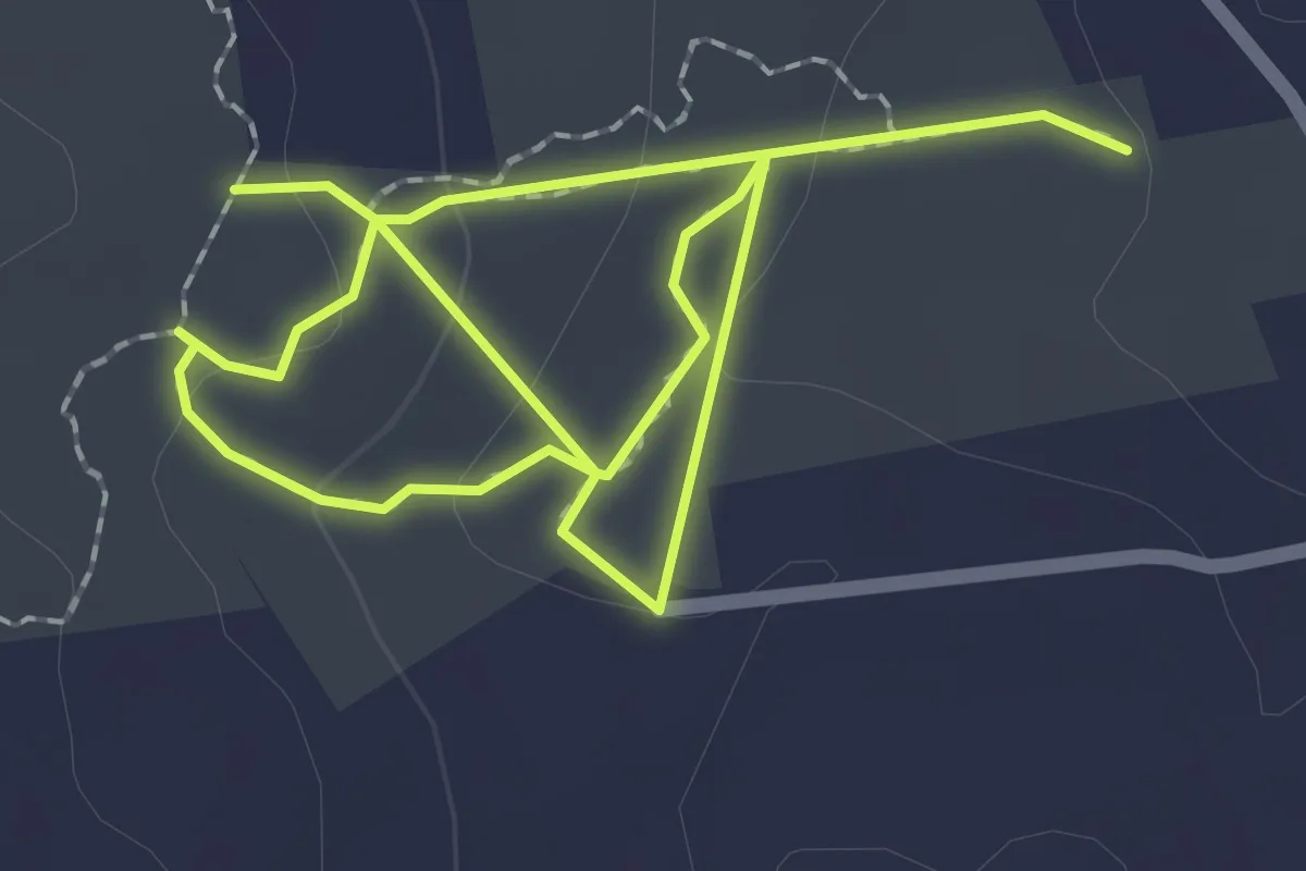
Easy · Trail
Weigold Trail
3.8 km · ↑ 136 m · 1 h 11 min
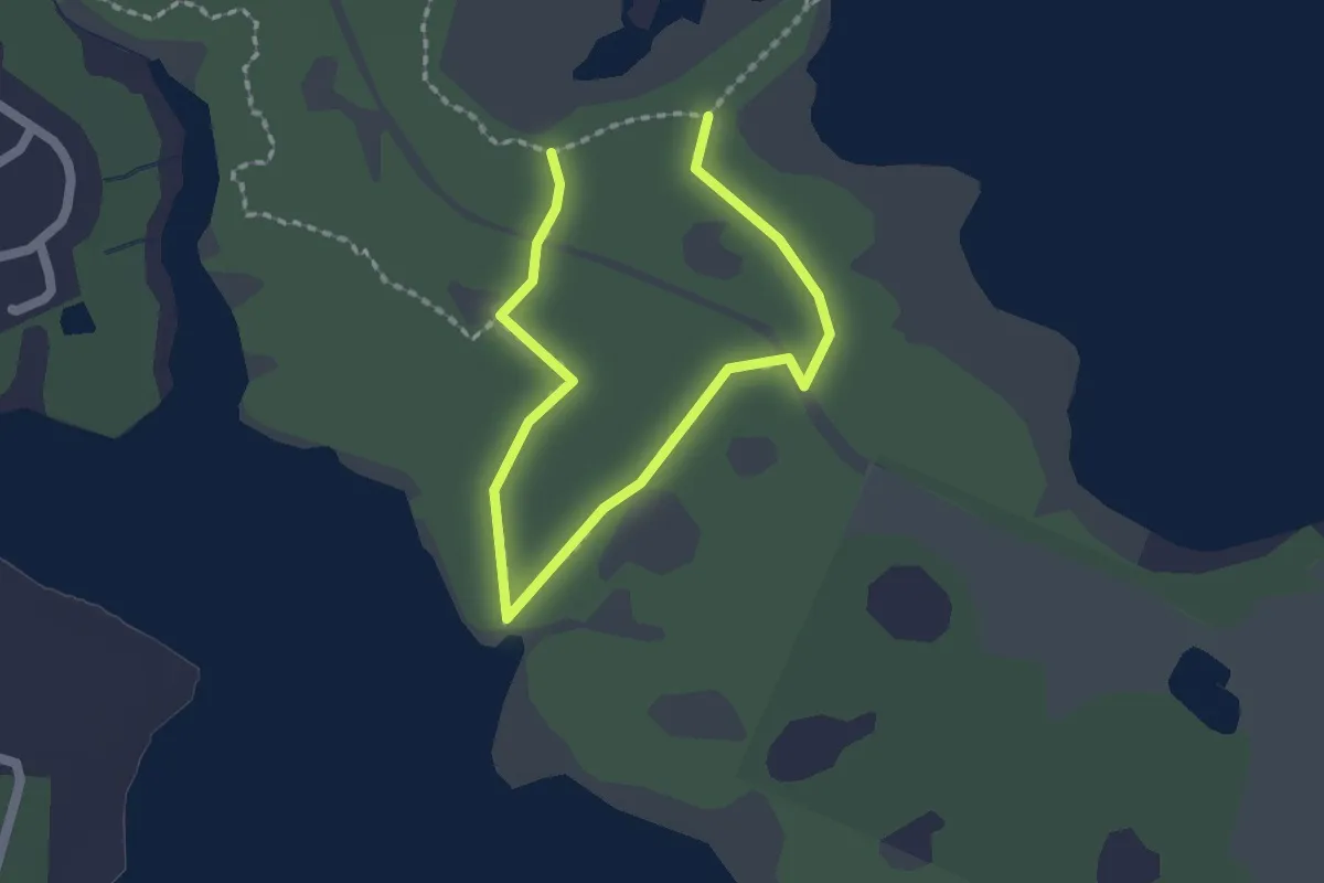
Easy · Trail
Weiskittel Trail
2.8 km · ↑ 17 m · 42 min
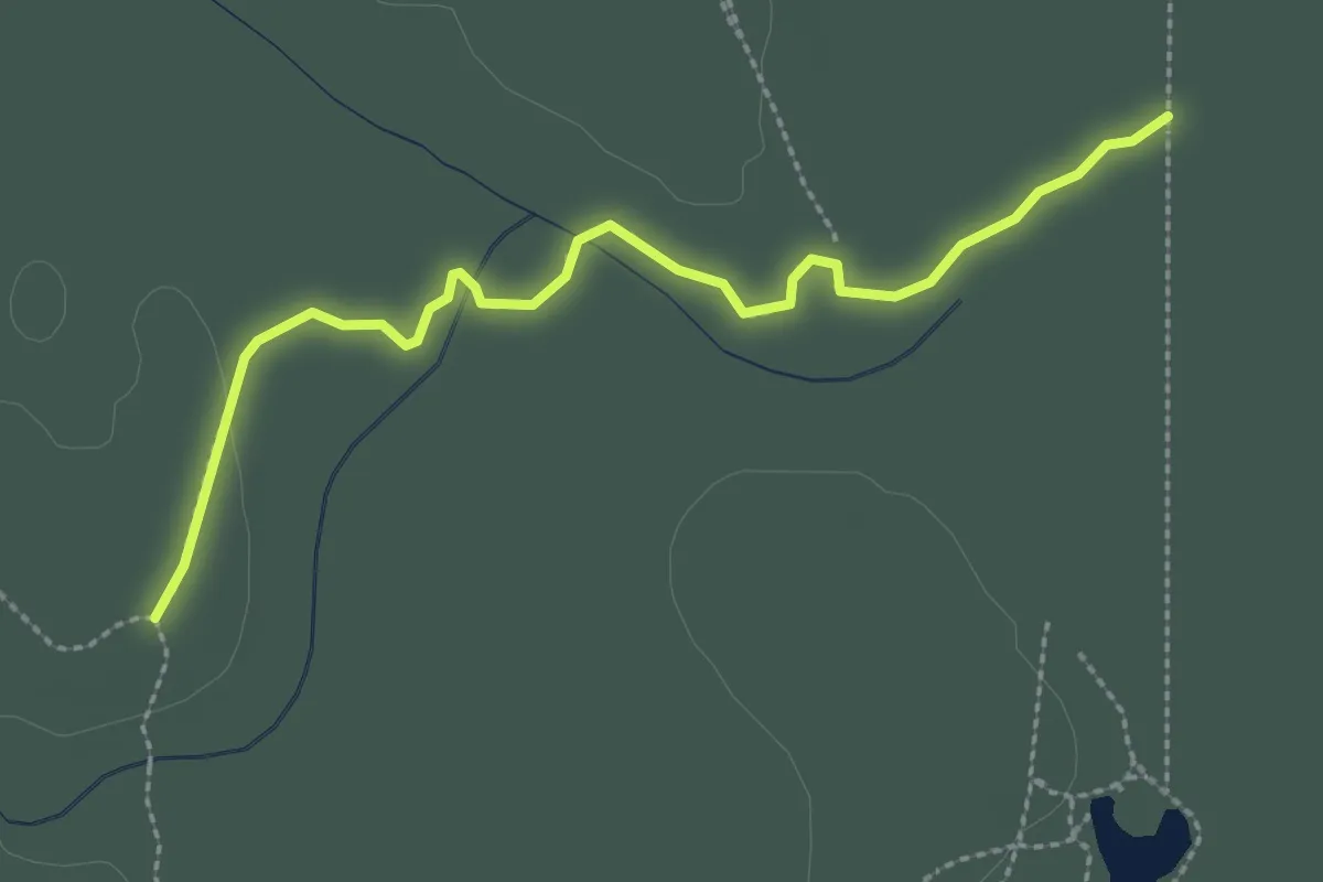
Easy · Trail
Wekiwa East-West Connector
3.6 km · ↑ 4 m · 51 min
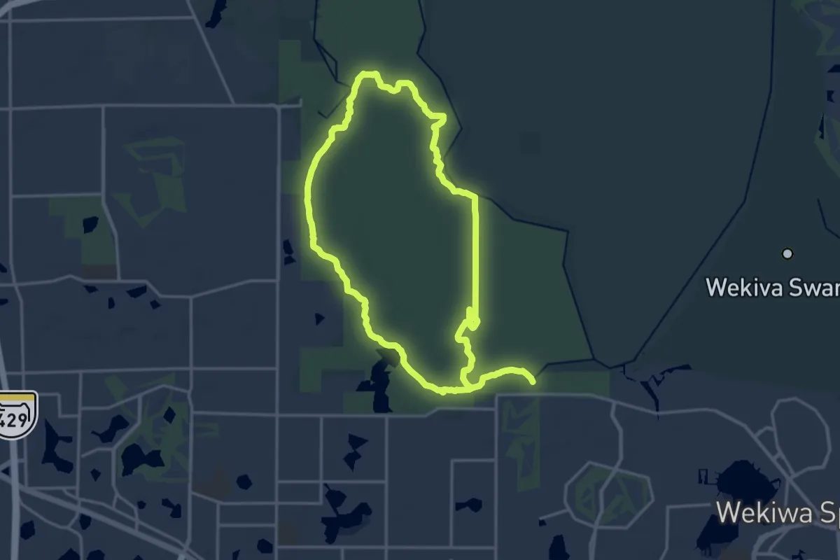
Demanding · Trail
Wekiwa Main Hiking Trail
18.7 km · ↑ 41 m · 4 h 46 min
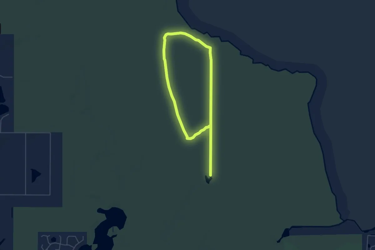
Medium · Trail
Wekiwa Mill Creek Loop
10.2 km · ↑ 8 m · 2 h 26 min
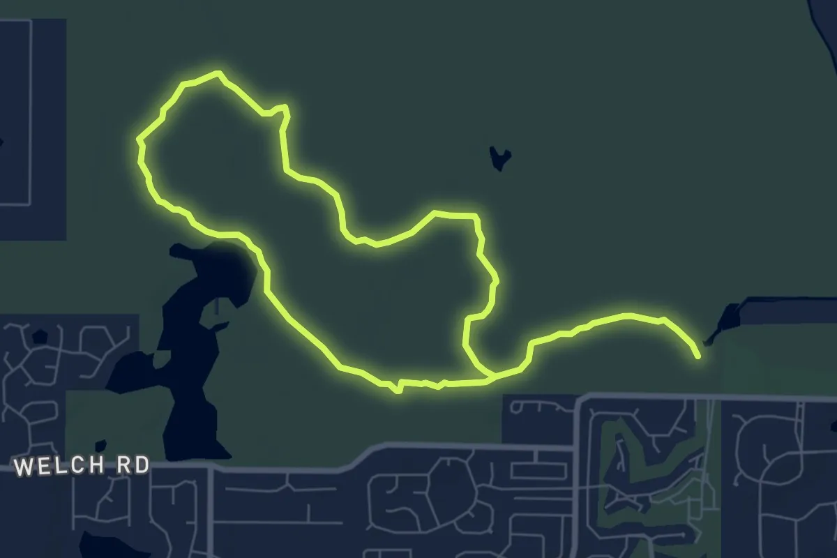
Medium · Trail
Wekiwa Volksmarch Trail
16.0 km · ↑ 58 m · 3 h 54 min
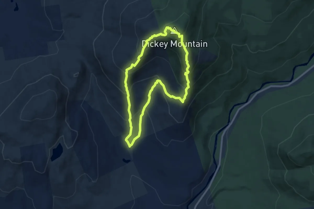
Medium · Summit
Welch-Dickey Loop Trail
6.4 km · ↑ 545 m · 2 h 47 min
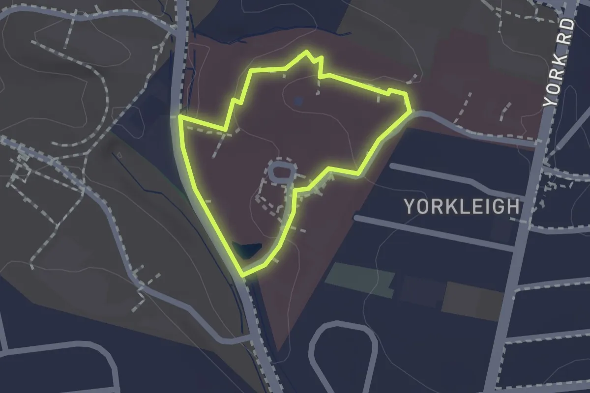
Easy · Trail
Wellness Walk
1.3 km · ↑ 18 m · 22 min
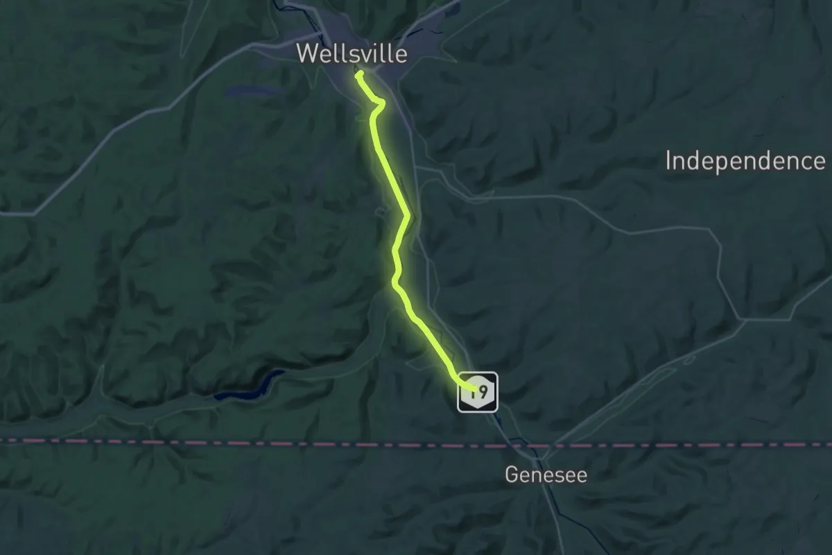
Demanding · Trail
Wellsville, Addison, and Galeton Rail Trail
26.1 km · ↑ 44 m · 6 h 15 min
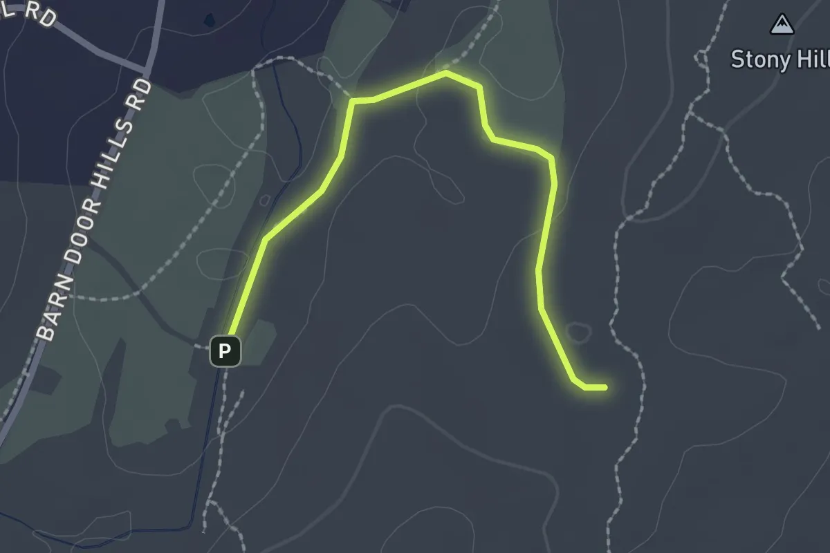
Easy · Trail
Werbitzkas Loop Trail
2.4 km · ↑ 19 m · 36 min
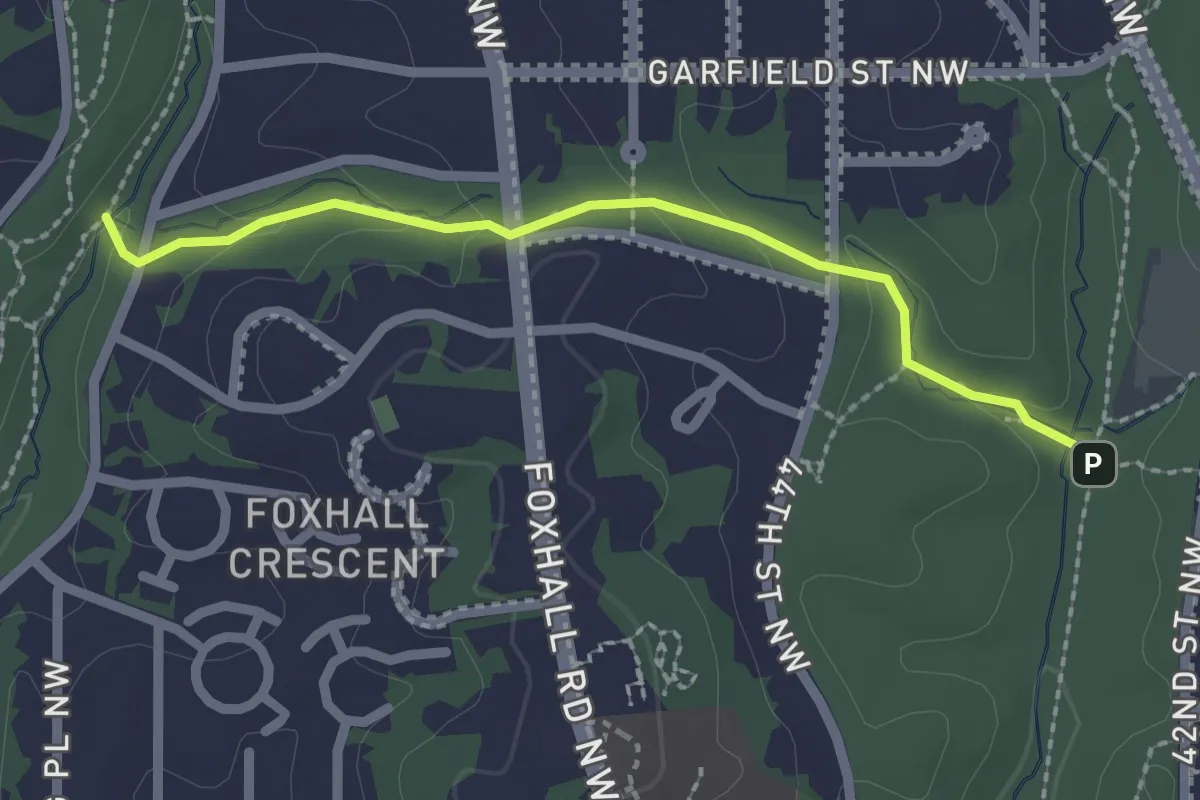
Easy · Trail
Wesley Heights Trail
2.4 km · ↑ 75 m · 44 min
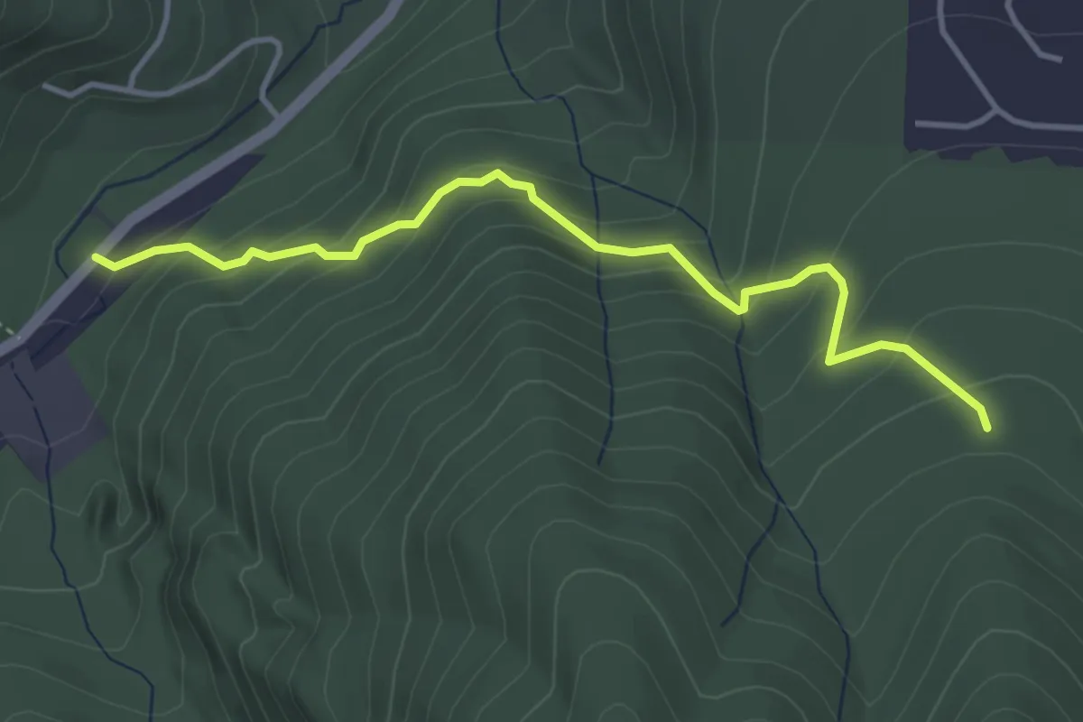
Easy · Trail
West Access Trail
3.9 km · ↑ 284 m · 1 h 32 min
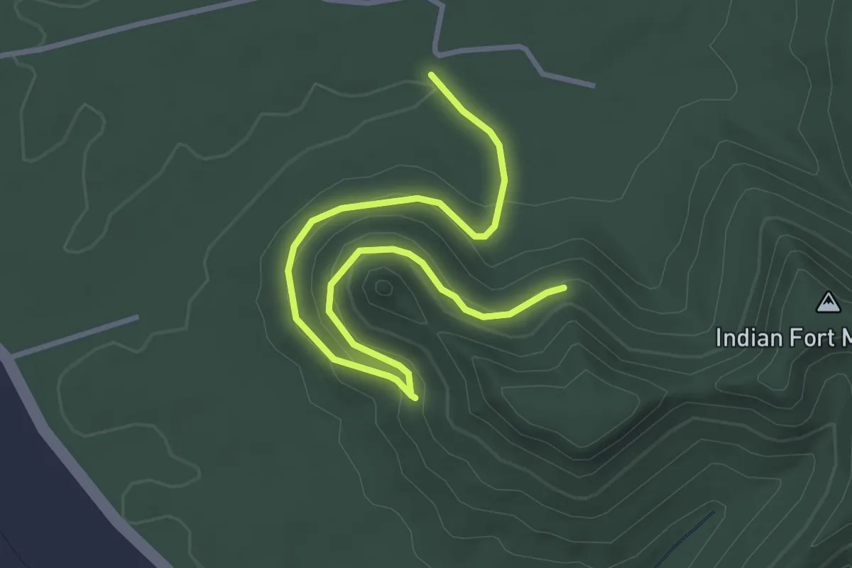
Easy · Trail
West Barton Trail
4.5 km · ↑ 157 m · 1 h 24 min
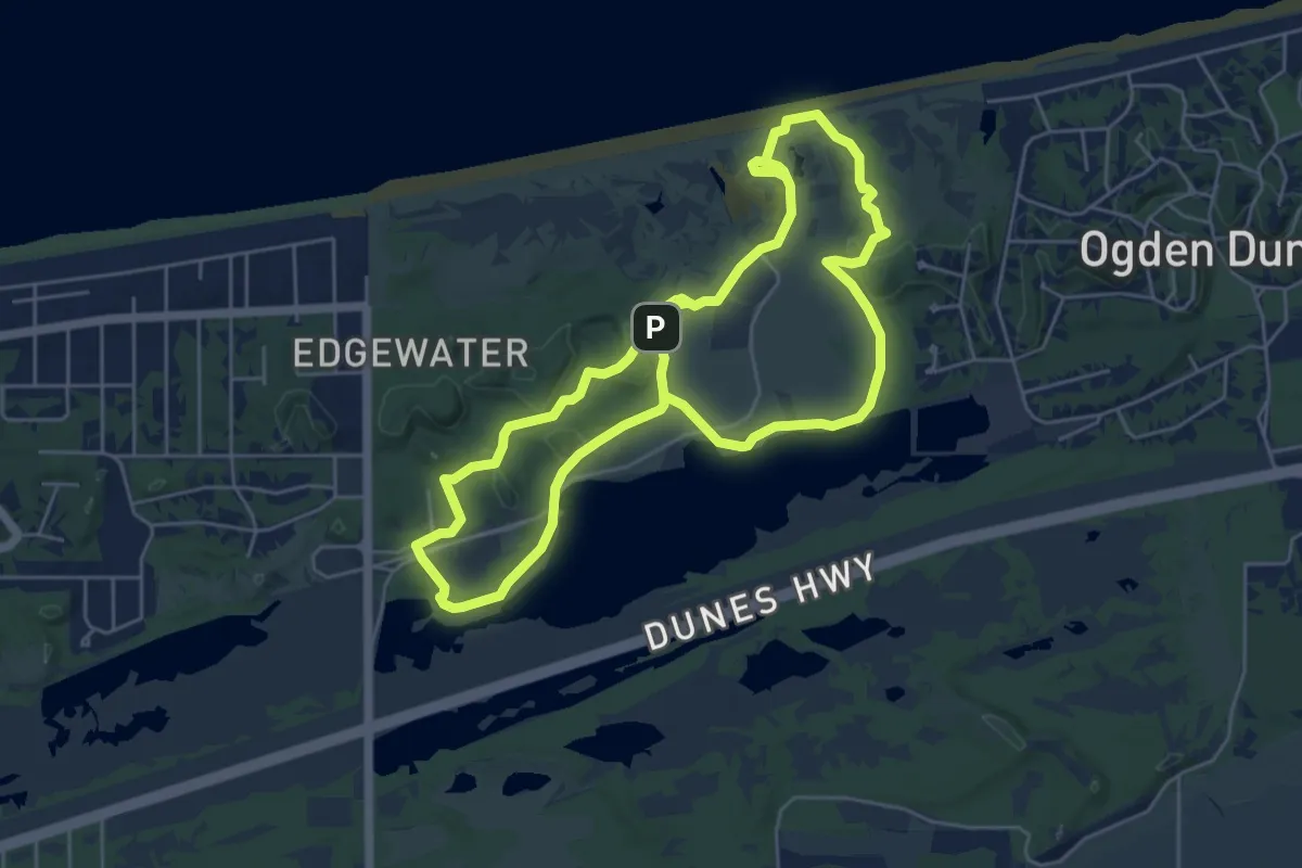
Easy · Trail
West Beach Trail - Three Loops
5.9 km · ↑ 79 m · 1 h 39 min
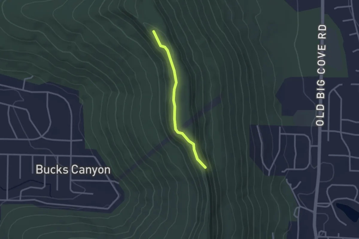
Easy · Trail
West Bluff Trail
2.5 km · ↑ 49 m · 42 min
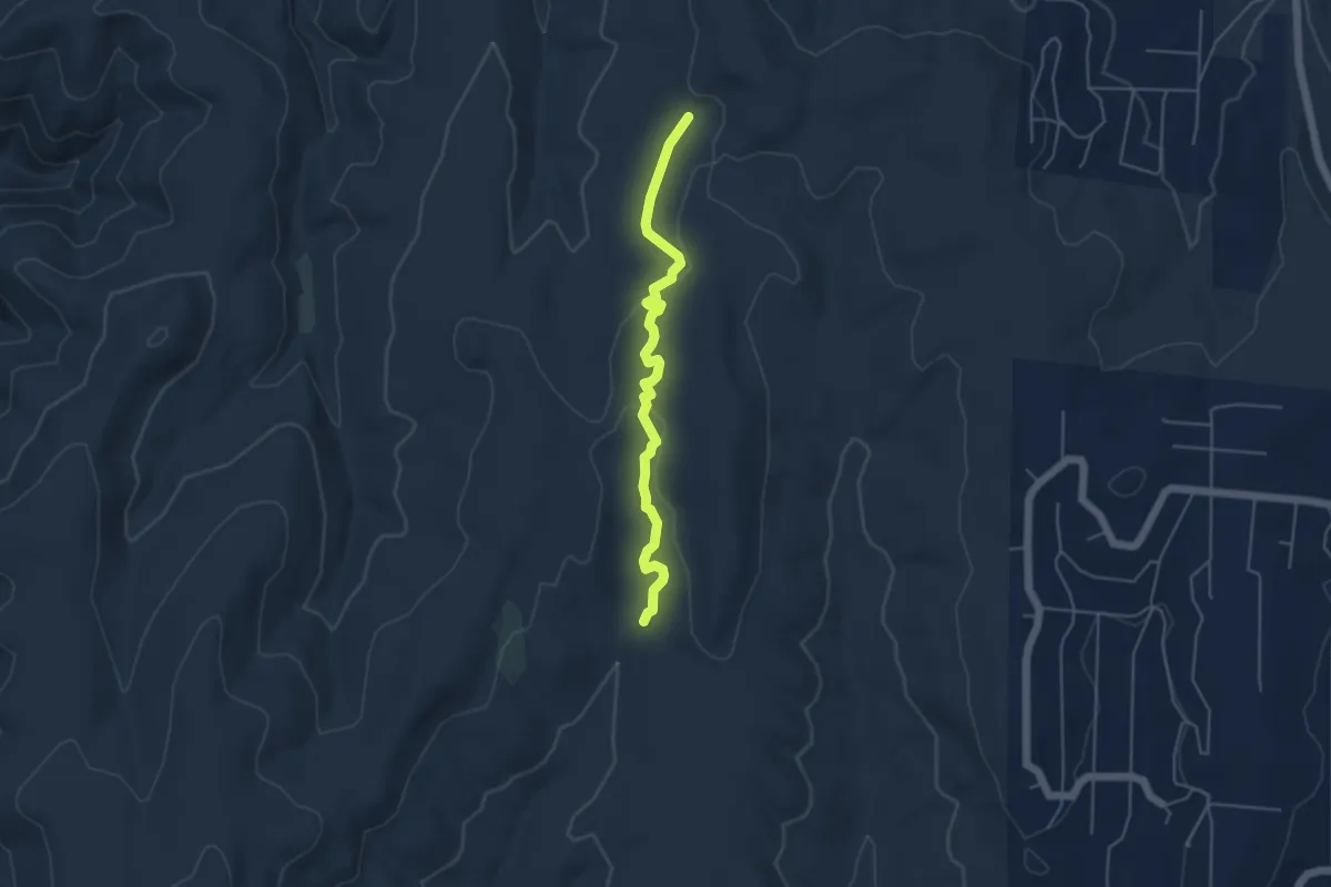
Medium · Trail
West Boundary Trail
5.5 km · ↑ 112 m · 1 h 33 min
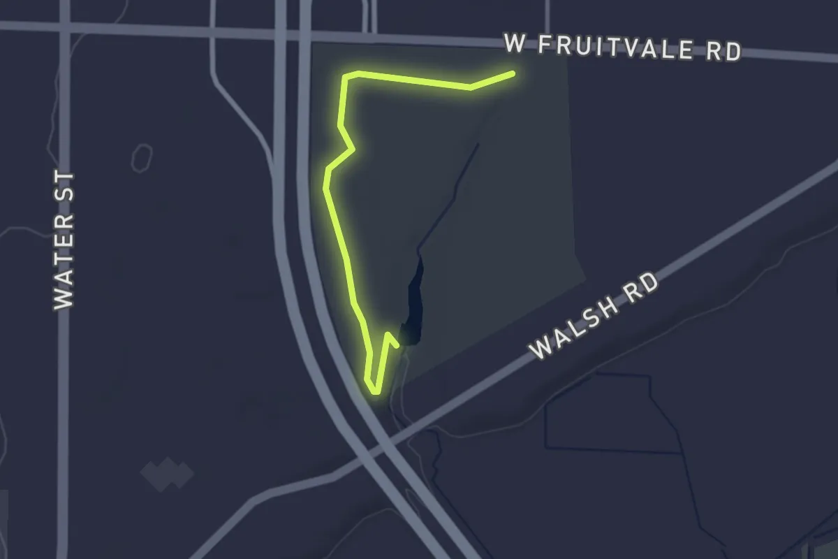
Easy · Trail
West Boundary Trail
2.9 km · ↑ 9 m · 43 min
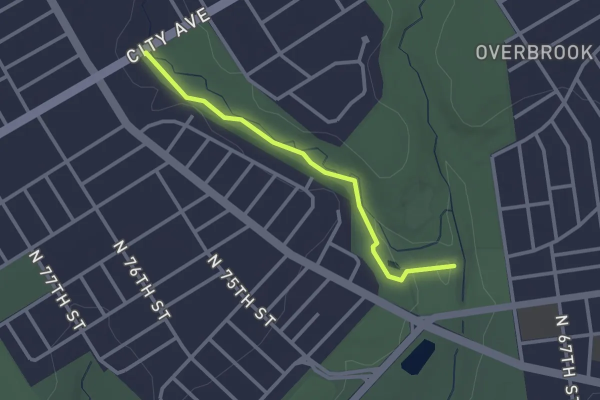
Easy · Trail
West Branch Trail
2.5 km · ↑ 17 m · 37 min
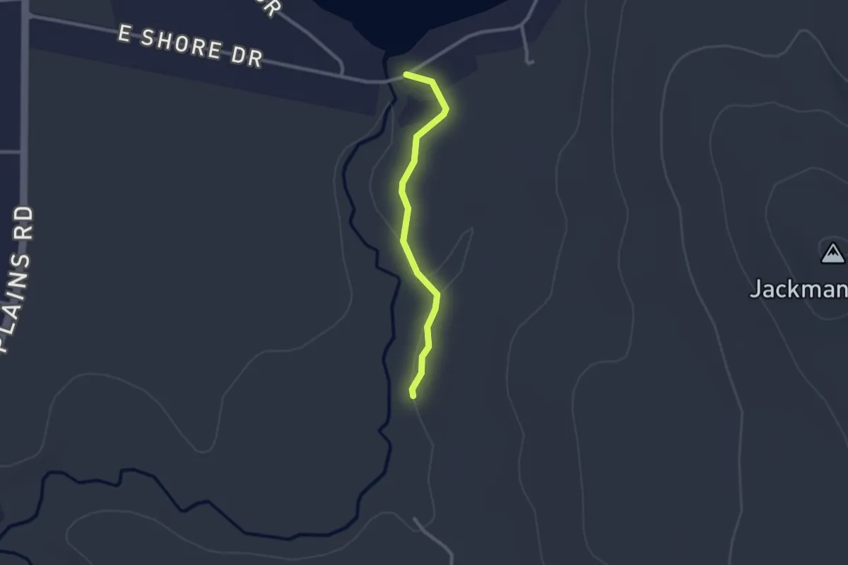
Easy · Trail
West Branch Trail
2.3 km · ↑ 0 m · 33 min
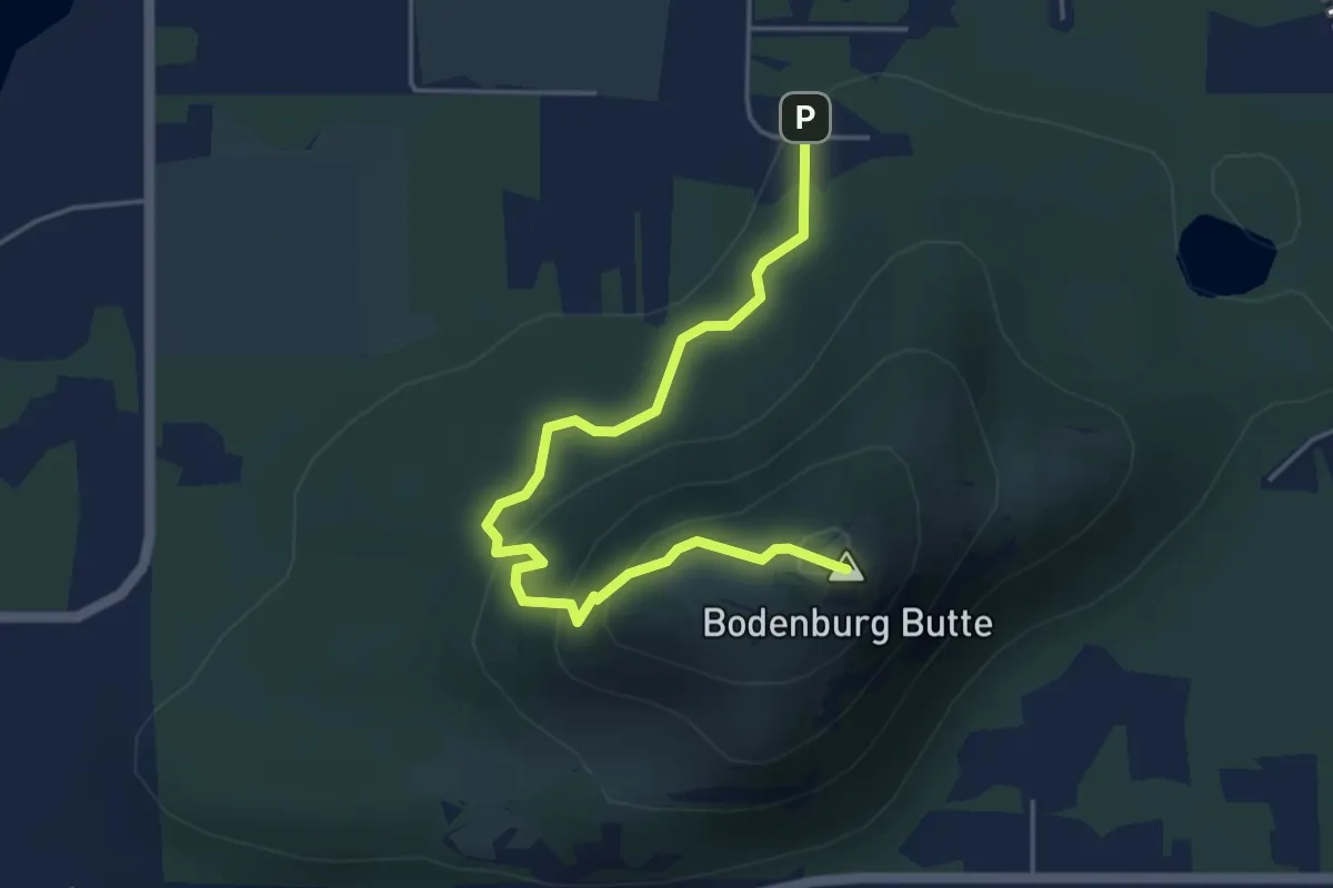
Easy · Summit
West Butte Trail
3.5 km · ↑ 217 m · 1 h 18 min
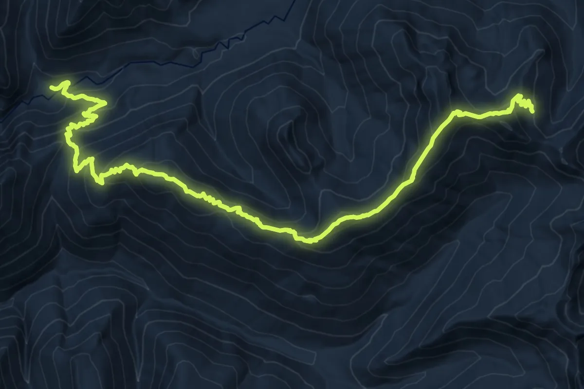
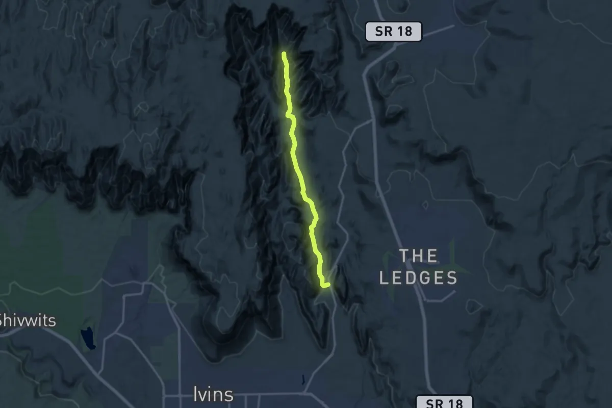
Demanding · Trail
West Cady Ridge Trail
12.8 km · ↑ 1107 m · 5 h 13 min
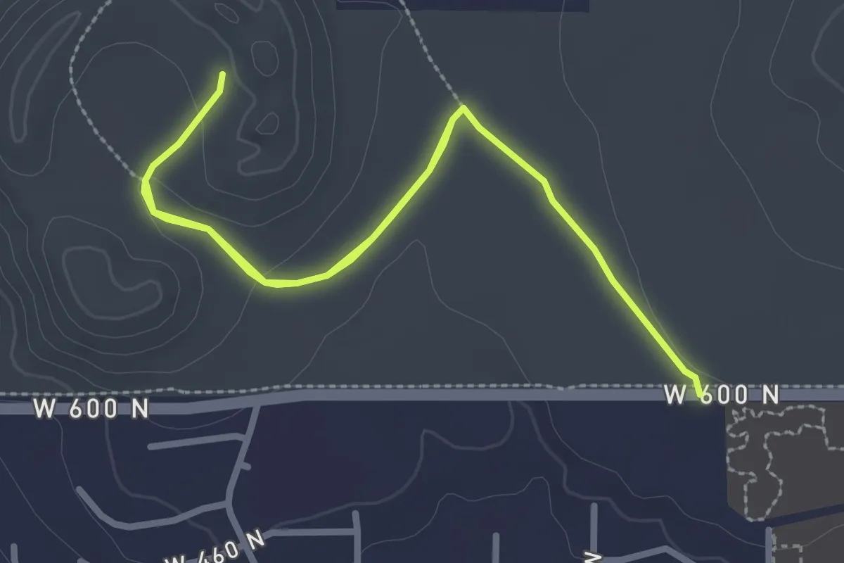
Medium · Trail
West Canyon Road
12.9 km · ↑ 138 m · 3 h 21 min
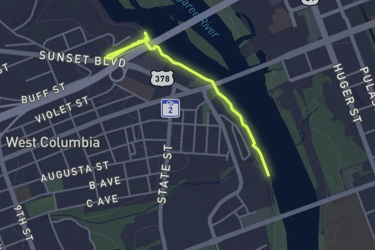
Easy · Trail
West Cinder Knoll
3.0 km · ↑ 34 m · 50 min
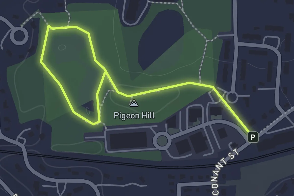
Easy · Trail
West Columbia Riverwalk
3.8 km · ↑ 24 m · 58 min
Easy · Trail
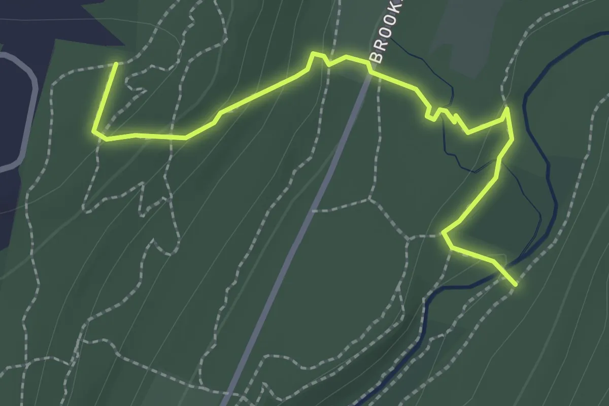
West Concord Park Suggested Walk
2.1 km · ↑ 20 m · 33 min
Easy · Trail
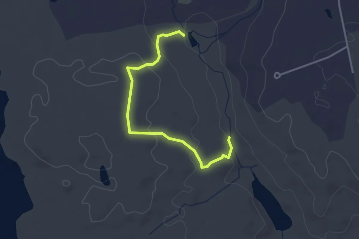
West Connector
2.8 km · ↑ 90 m · 52 min
Easy · Trail
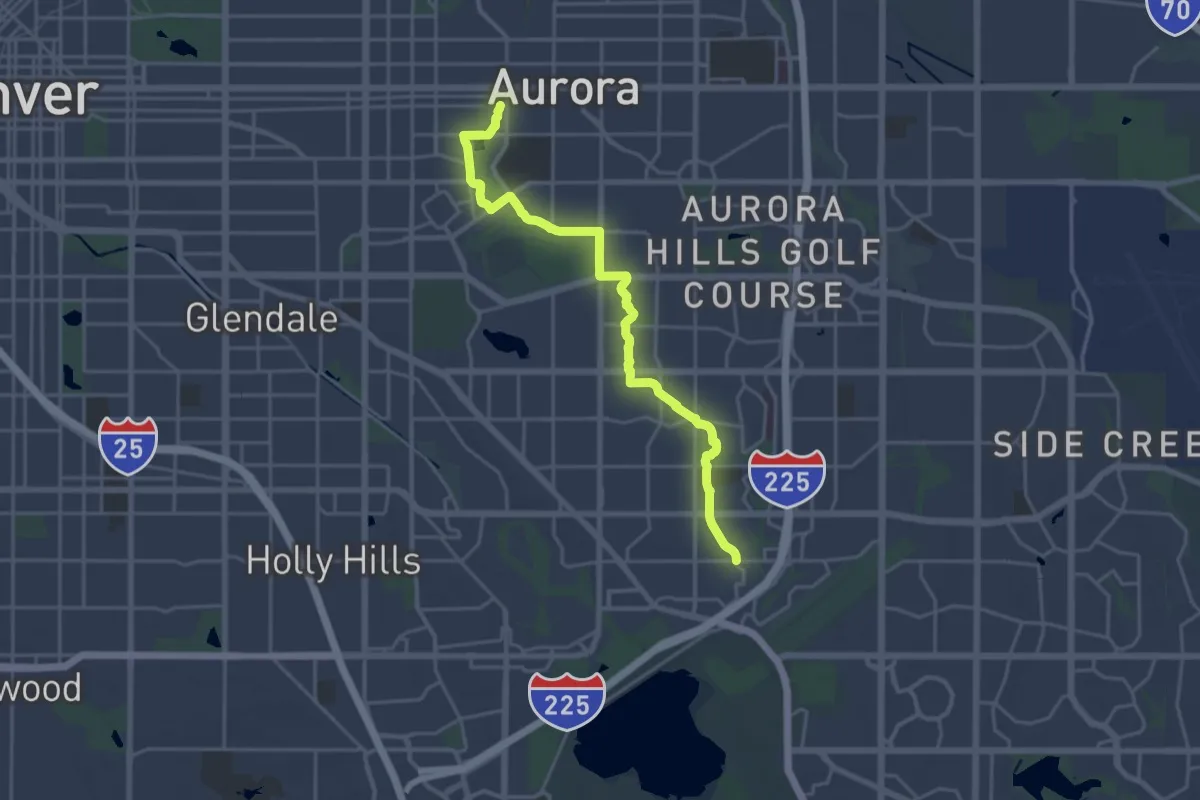
West Crest Trail
3.4 km · ↑ 129 m · 1 h 5 min
Demanding · Trail
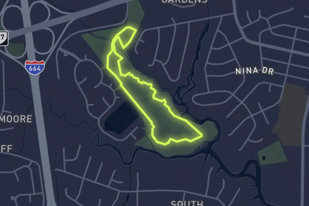
Westerly Creek Trail
24.6 km · ↑ 93 m · 6 h 1 min
Easy · Trail
Western Branch Park Walking Trail
3.1 km · ↑ 0 m · 47 min
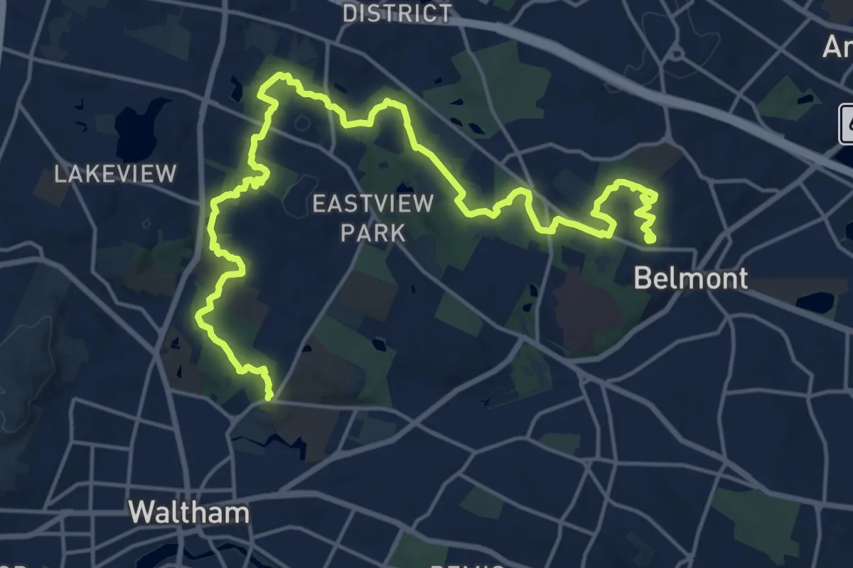
Demanding · Trail
Western Greenway
23.6 km · ↑ 323 m · 6 h 16 min
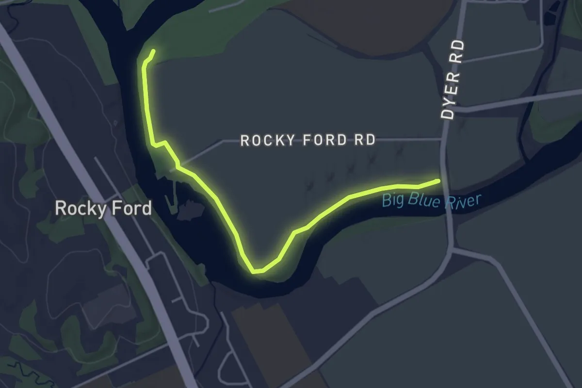
Easy · Trail
Western Heritage Trail
4.5 km · ↑ 0 m · 1 h 4 min
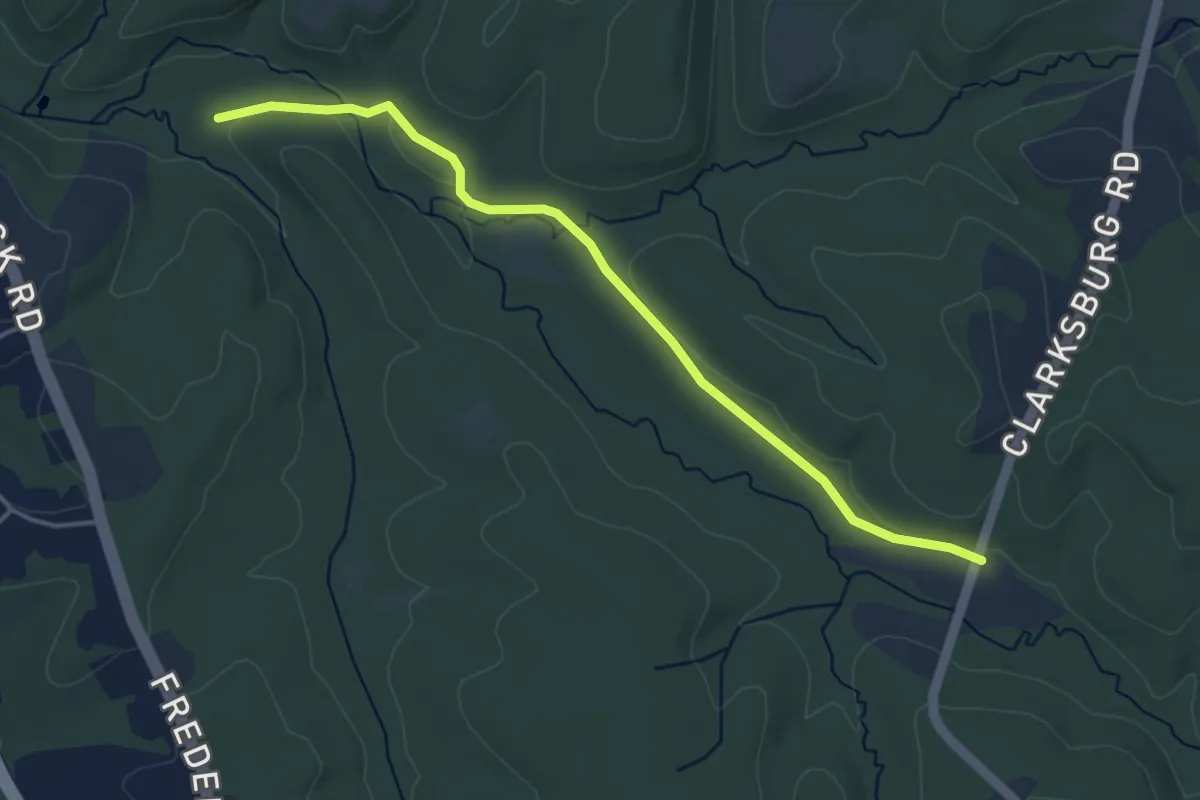
Easy · Trail
Western Piedmont Trail
4.7 km · ↑ 24 m · 1 h 10 min
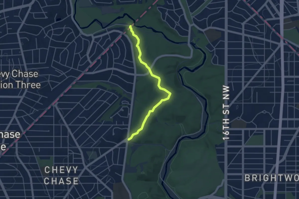
Easy · Trail
Western Ridge Trail
4.7 km · ↑ 117 m · 1 h 21 min
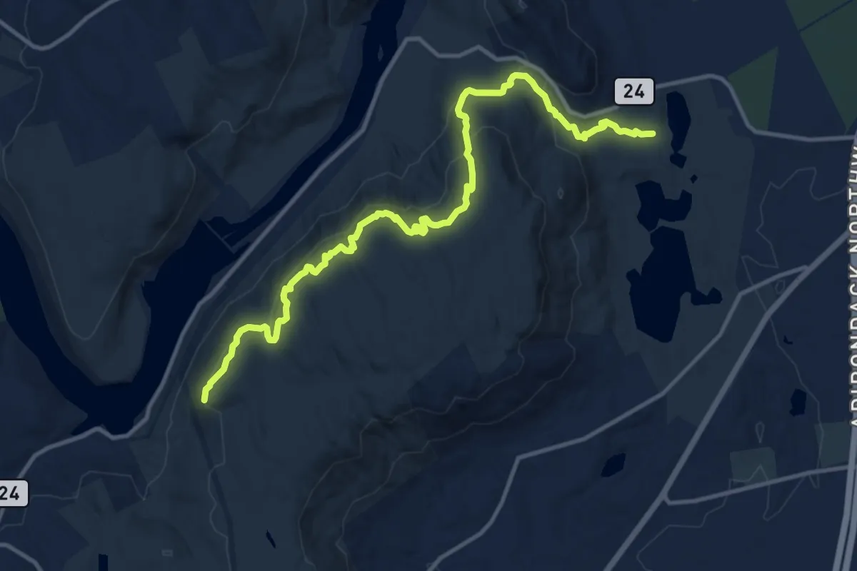
Medium · Trail
Western Ridge Trail
14.2 km · ↑ 557 m · 4 h 34 min
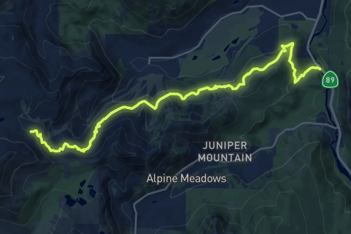
Medium · Trail
Western States Trail Olympic Valley
17.1 km · ↑ 797 m · 5 h 46 min
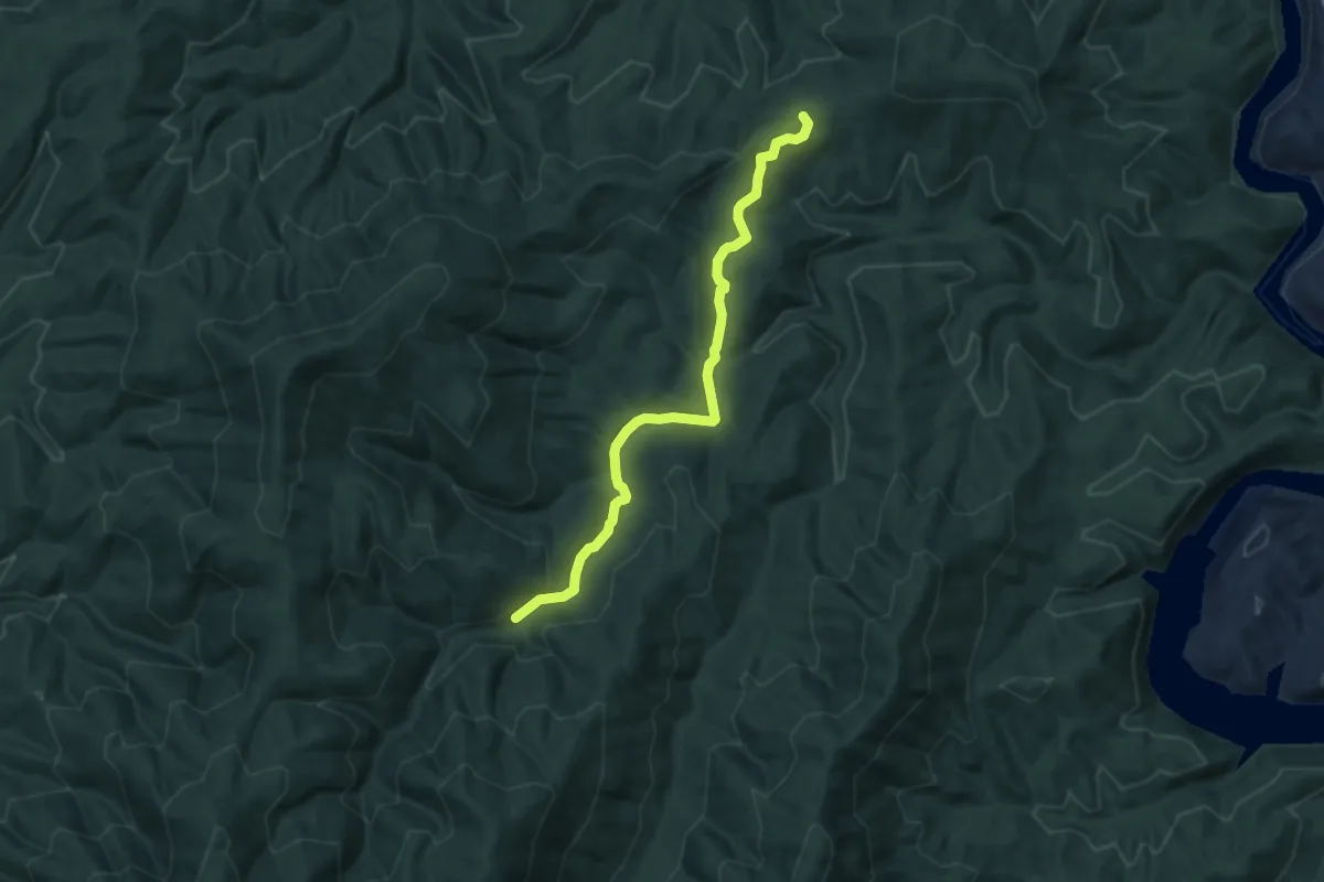
Easy · Trail
West Fork
7.0 km · ↑ 187 m · 2 h 4 min
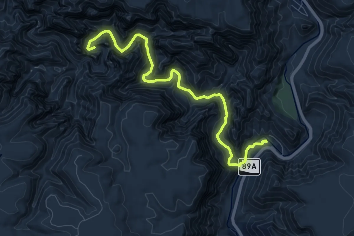
Medium · Trail
West Fork #108
10.4 km · ↑ 291 m · 3 h 5 min