Trails in United States
10,332 hiking trails, each with its route, climb, walking time and grade.
All trails, page 33 of 216
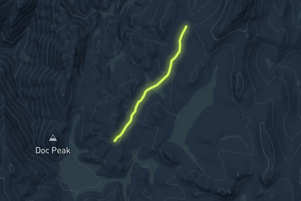
Easy · Trail
Casa Vieja Cutoff
5.2 km · ↑ 106 m · 1 h 28 min
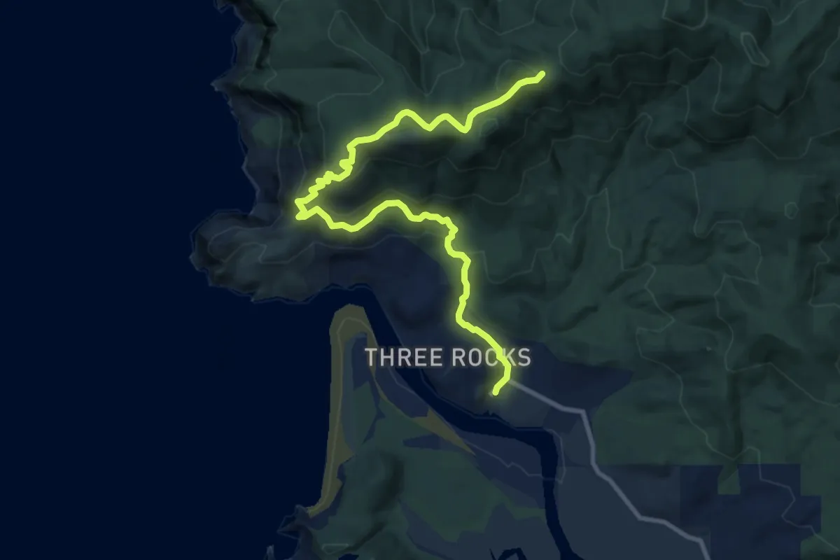
Medium · Trail
Cascade Head Trail
10.5 km · ↑ 433 m · 3 h 25 min
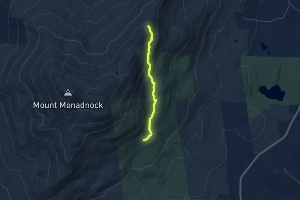
Easy · Trail
Cascade Link
4.1 km · ↑ 257 m · 1 h 32 min
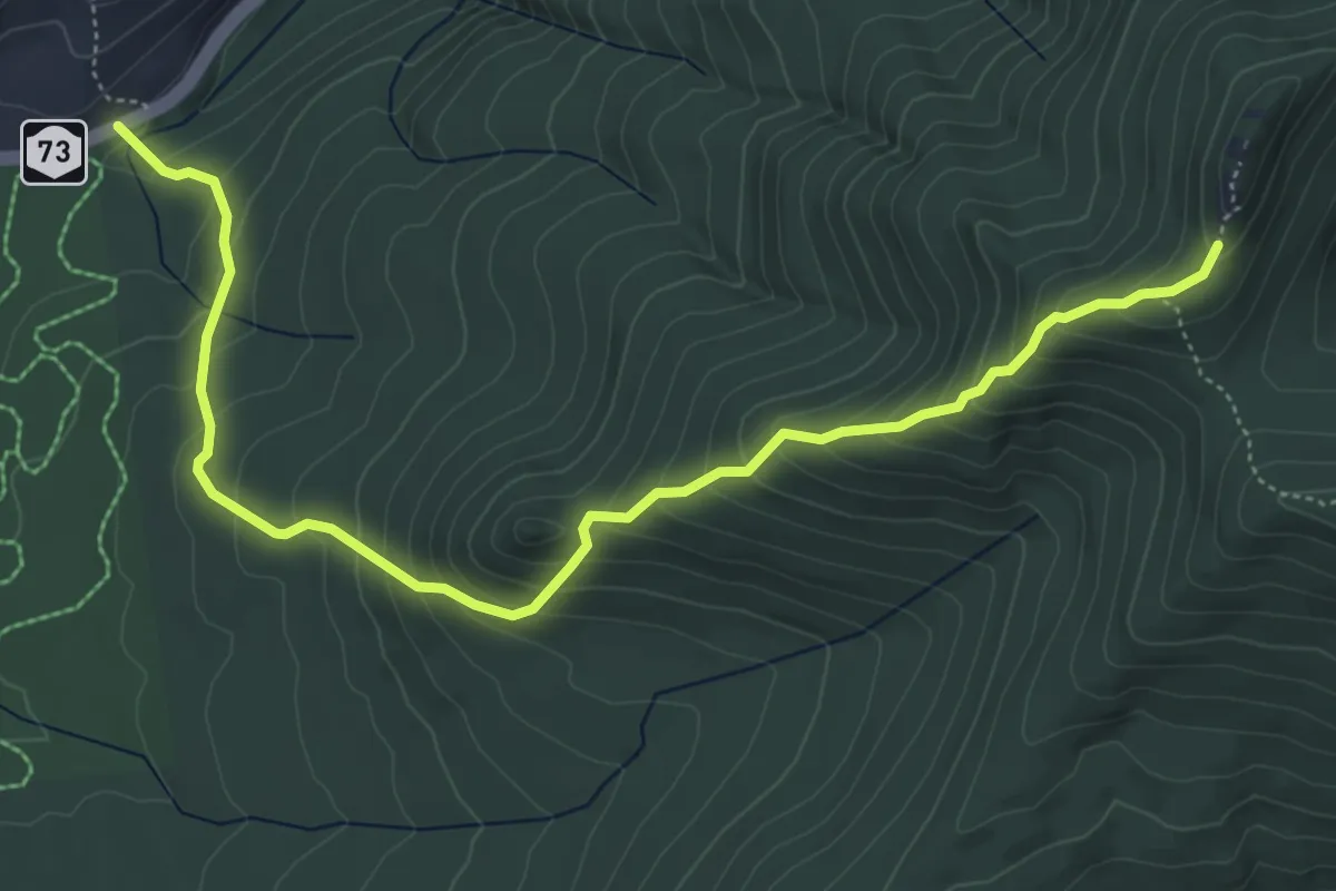
Medium · Trail
Cascade Mountain Trail
6.5 km · ↑ 548 m · 2 h 43 min
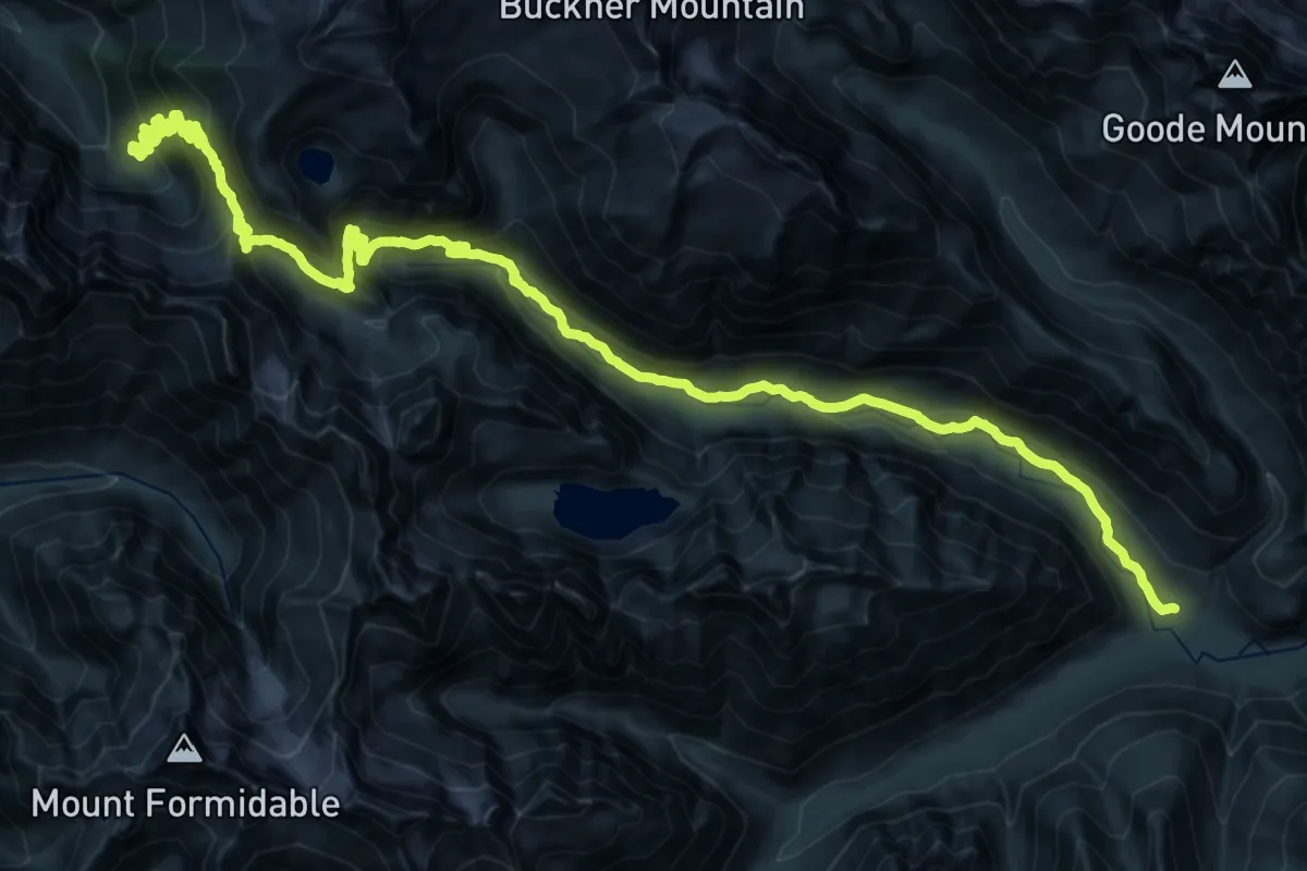
Demanding · Trail
Cascade Pass Trail
20.6 km · ↑ 1056 m · 7 h 14 min
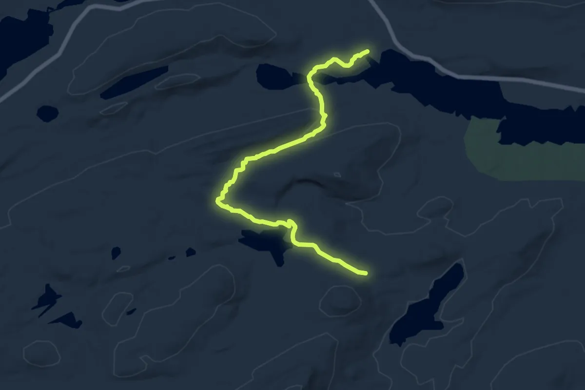
Medium · Trail
Cascade Pond Trail
11.1 km · ↑ 233 m · 3 h 7 min
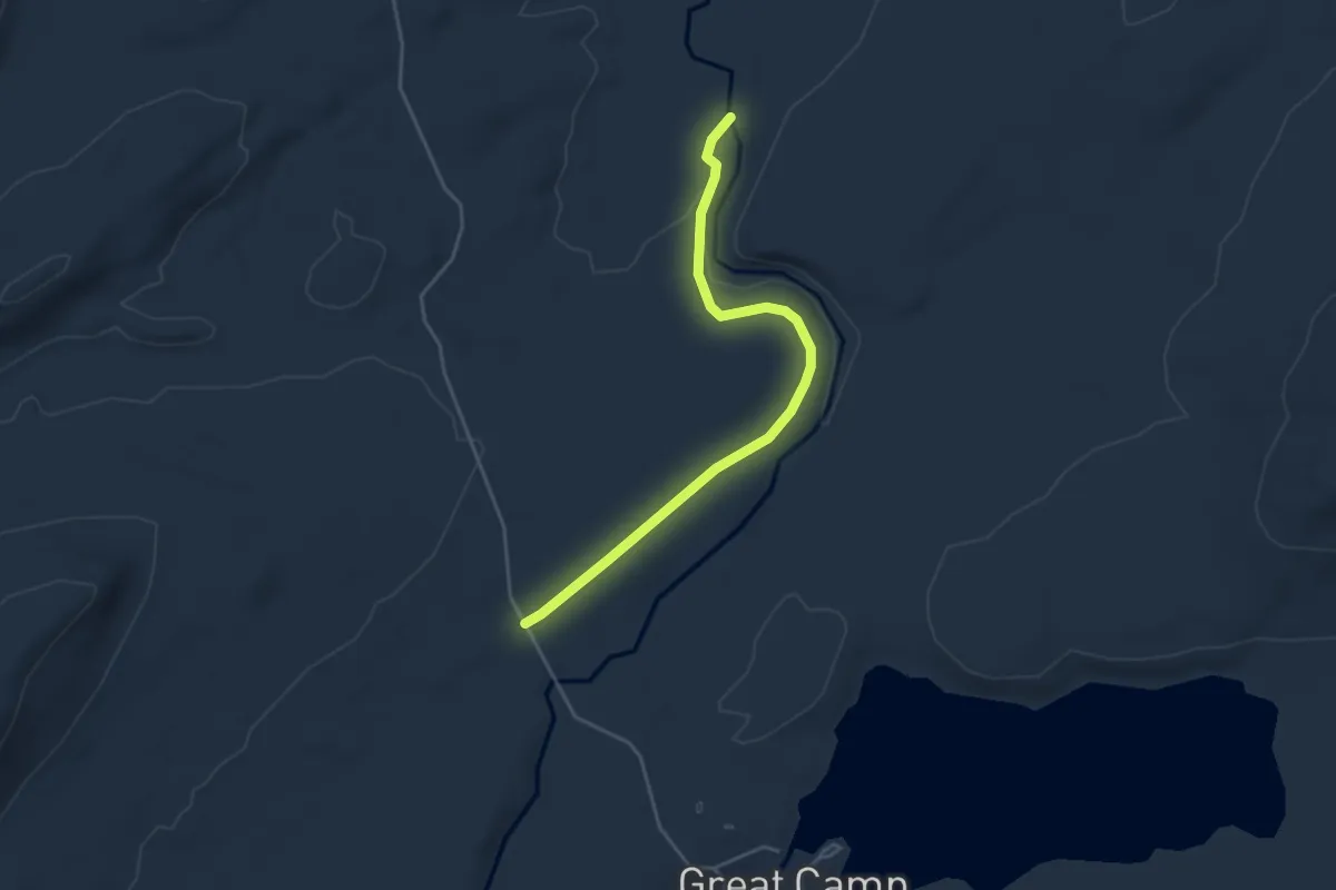
Easy · Trail
Cascades Trail
4.4 km · ↑ 56 m · 1 h 9 min
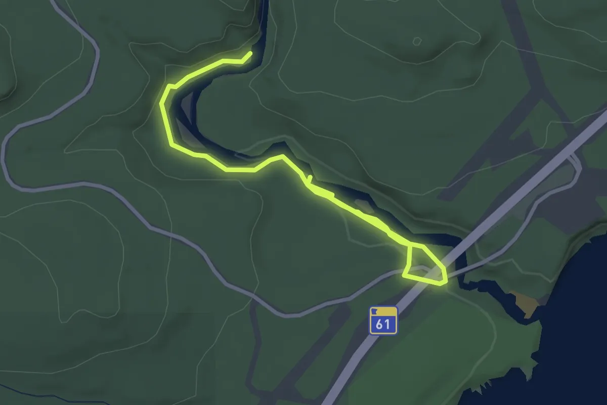
Easy · Trail
Cascades Trail
3.5 km · ↑ 54 m · 57 min
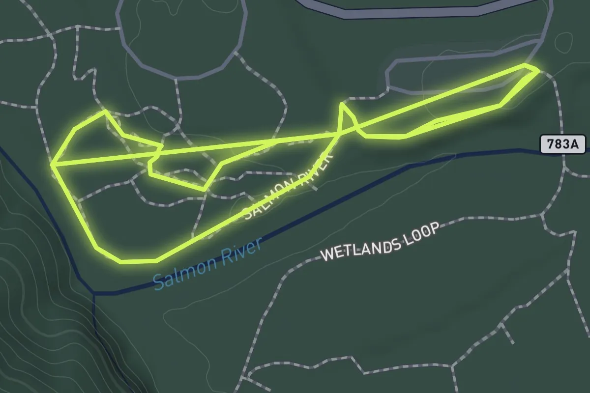
Easy · Trail
Cascade Streamwatch Trail
3.4 km · ↑ 34 m · 53 min
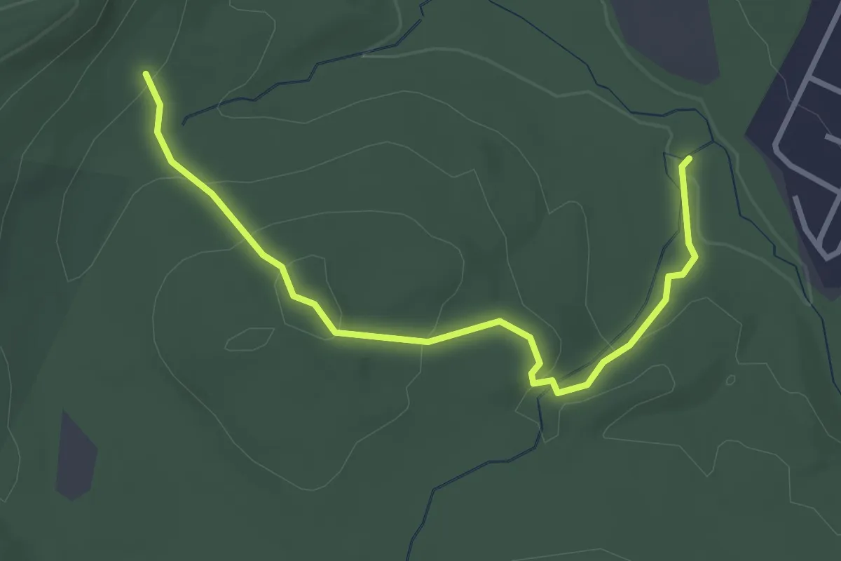
Easy · Trail
Cascade Trail
3.3 km · ↑ 144 m · 1 h 5 min
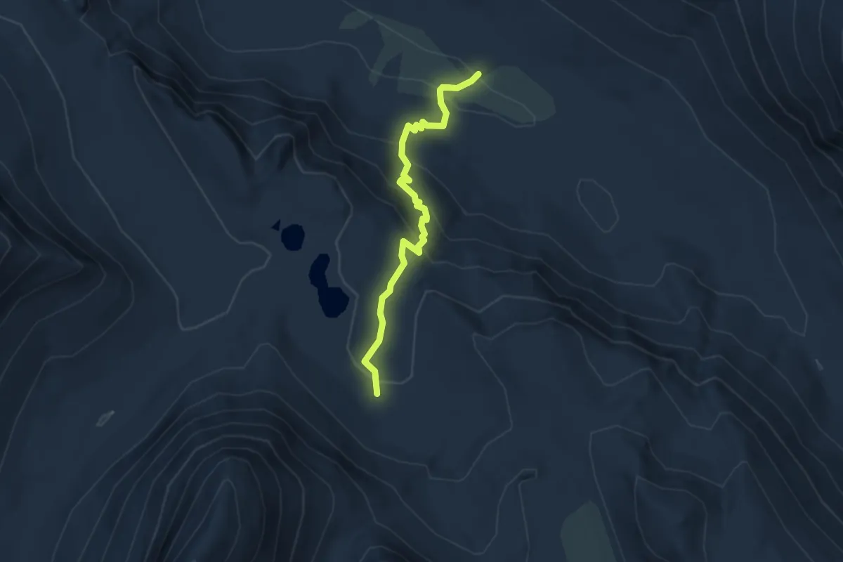
Easy · Trail
Cascade Valley Cutoff
3.6 km · ↑ 203 m · 1 h 18 min
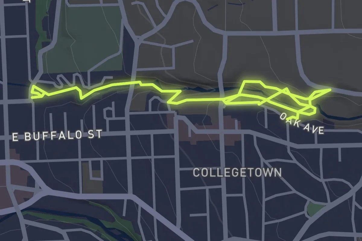
Easy · Trail
Cascadilla Gorge Trail
5.3 km · ↑ 214 m · 1 h 43 min
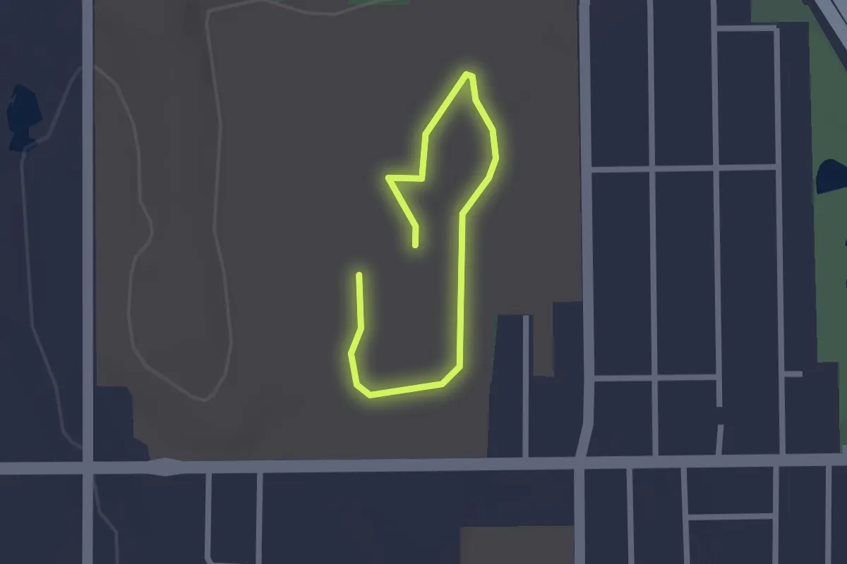
Easy · Trail
Cascara Loop
1.2 km · ↑ 0 m · 18 min
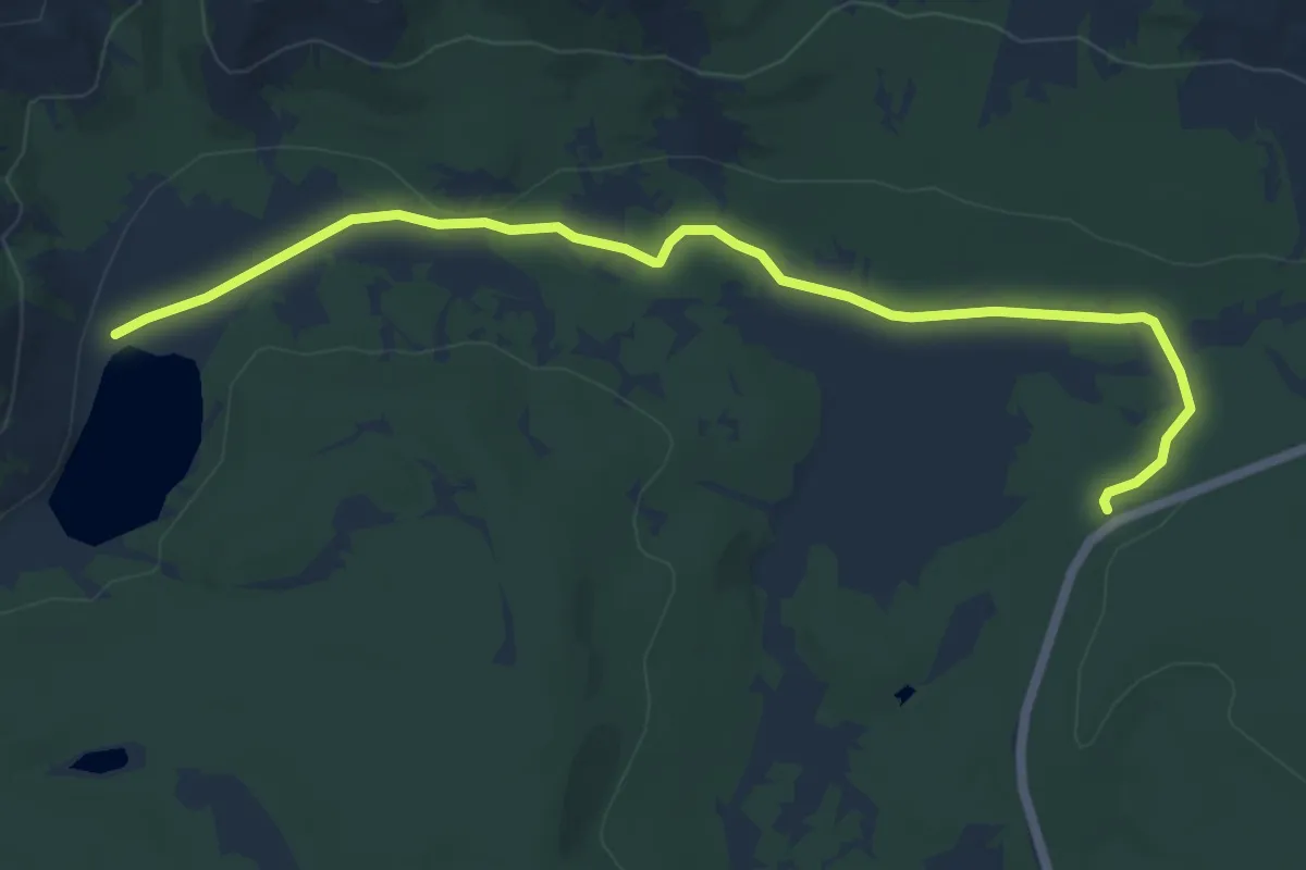
Easy · Trail
Casecade Lake Trail
6.8 km · ↑ 38 m · 1 h 41 min
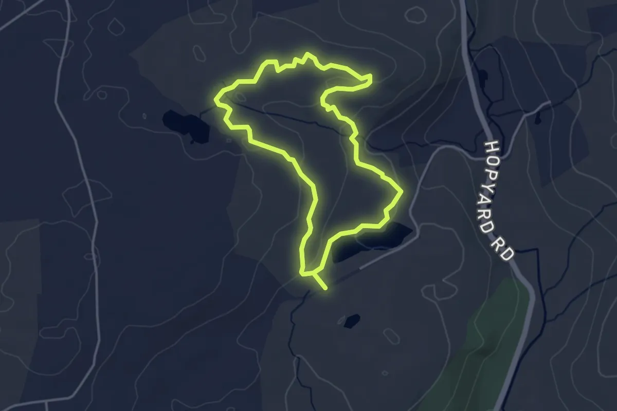
Easy · Trail
Casey's Trail
3.6 km · ↑ 97 m · 1 h 7 min
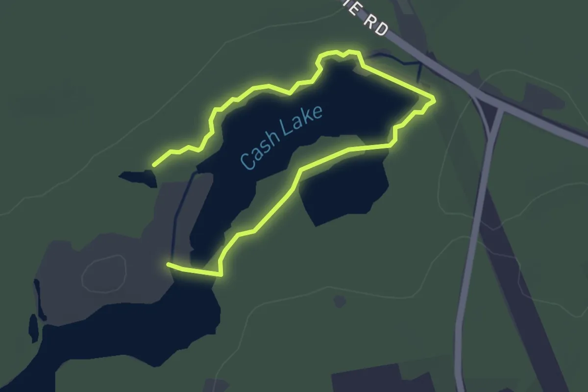
Easy · Trail
Cash lake Trail
4.8 km · ↑ 13 m · 1 h 9 min
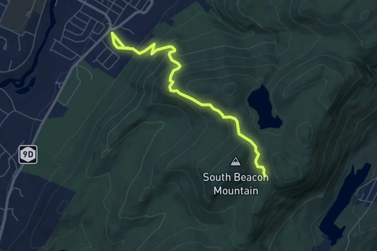
Medium · Trail
Casino Trail
6.7 km · ↑ 394 m · 2 h 26 min
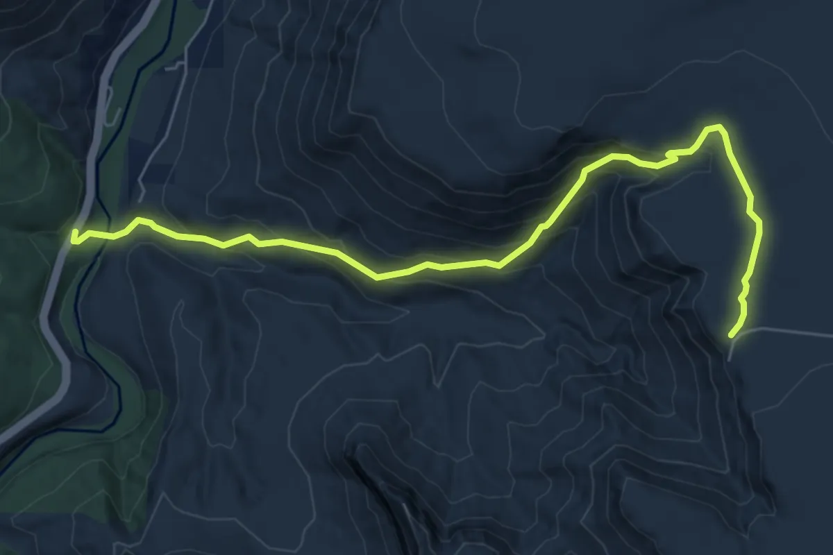
Medium · Trail
Casner Canyon #11
8.2 km · ↑ 512 m · 3 h 3 min
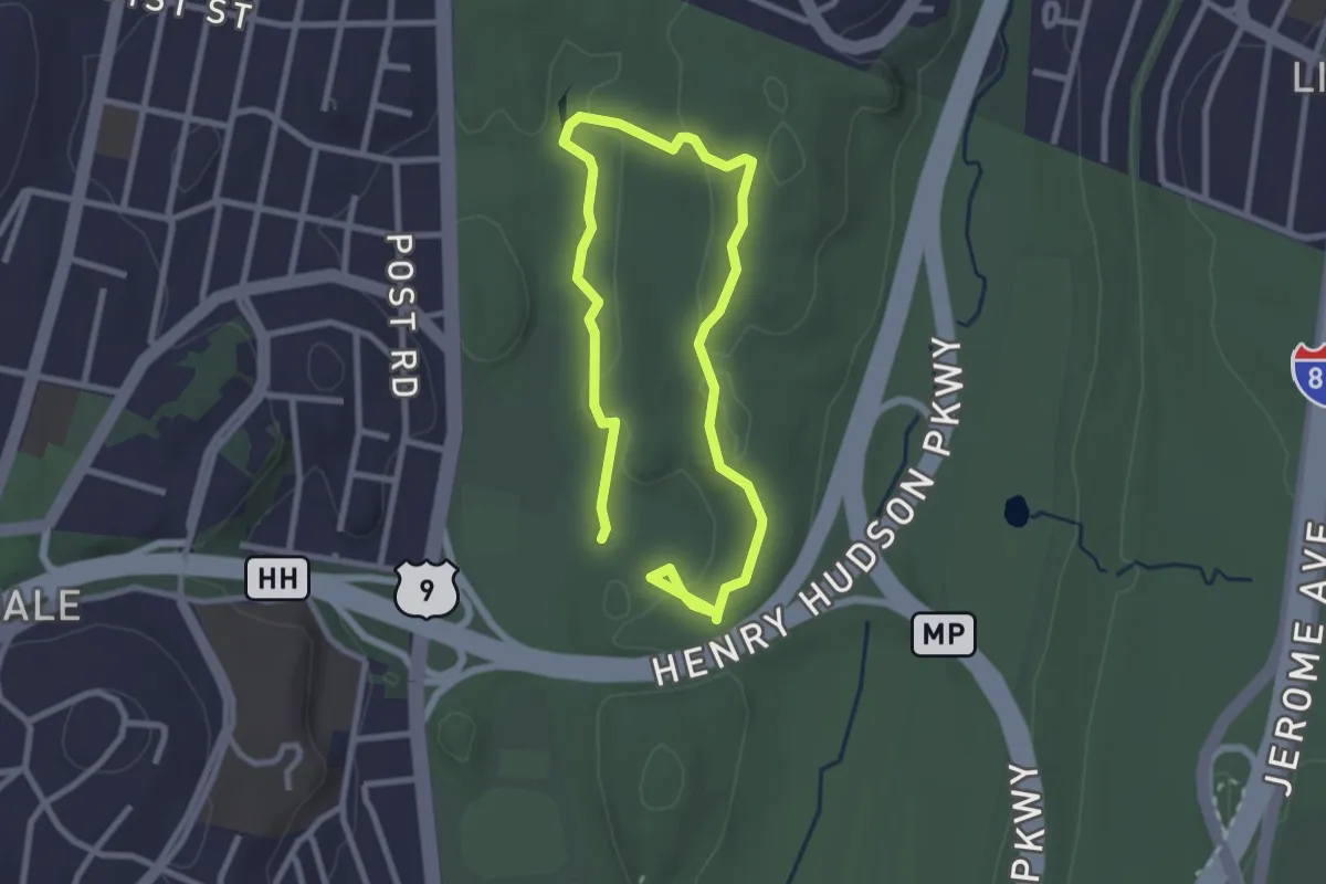
Easy · Trail
Cass Gallagher Nature Trail
4.7 km · ↑ 92 m · 1 h 18 min
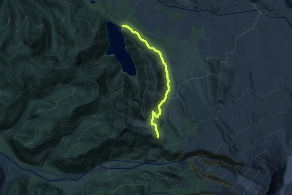
Medium · Trail
Castle Lake Trail
12.0 km · ↑ 623 m · 4 h 10 min
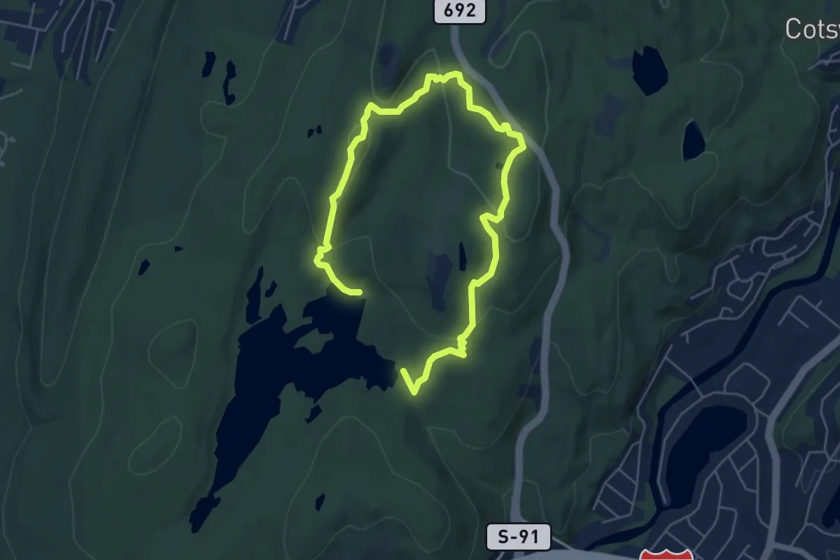
Medium · Trail
Castle Loop Trail
8.3 km · ↑ 300 m · 2 h 37 min
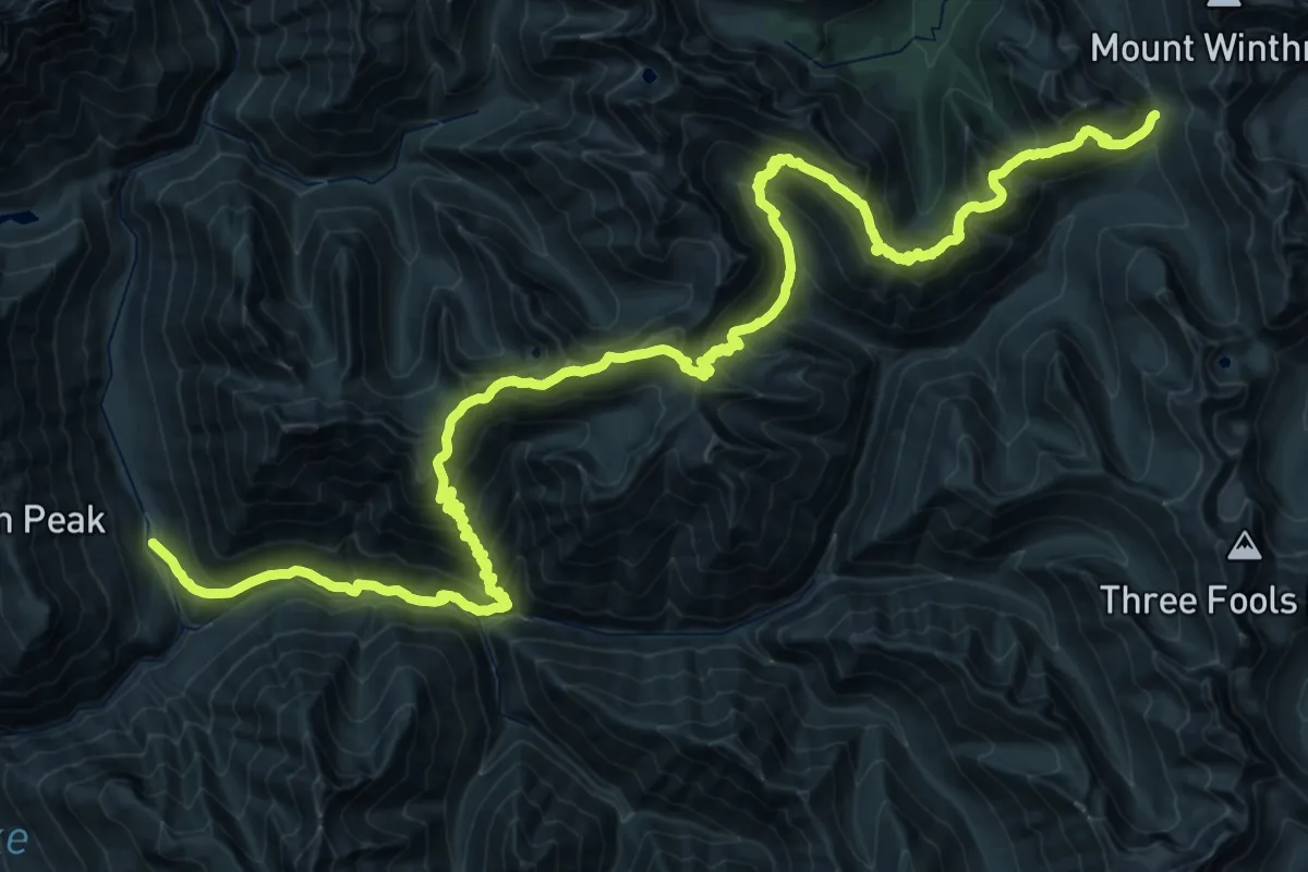
Demanding · Trail
Castle Pass
28.4 km · ↑ 1363 m · 10 h 35 min
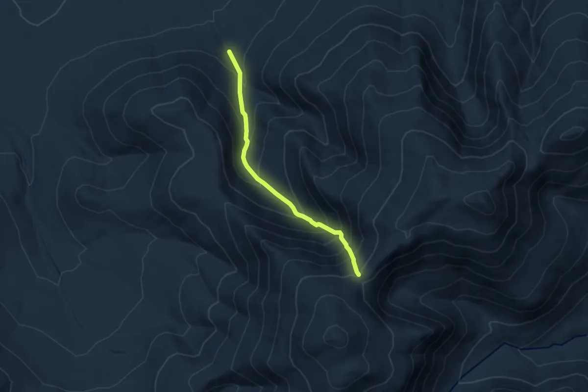
Demanding · Trail
Castle Ravine Trail
7.6 km · ↑ 847 m · 3 h 38 min
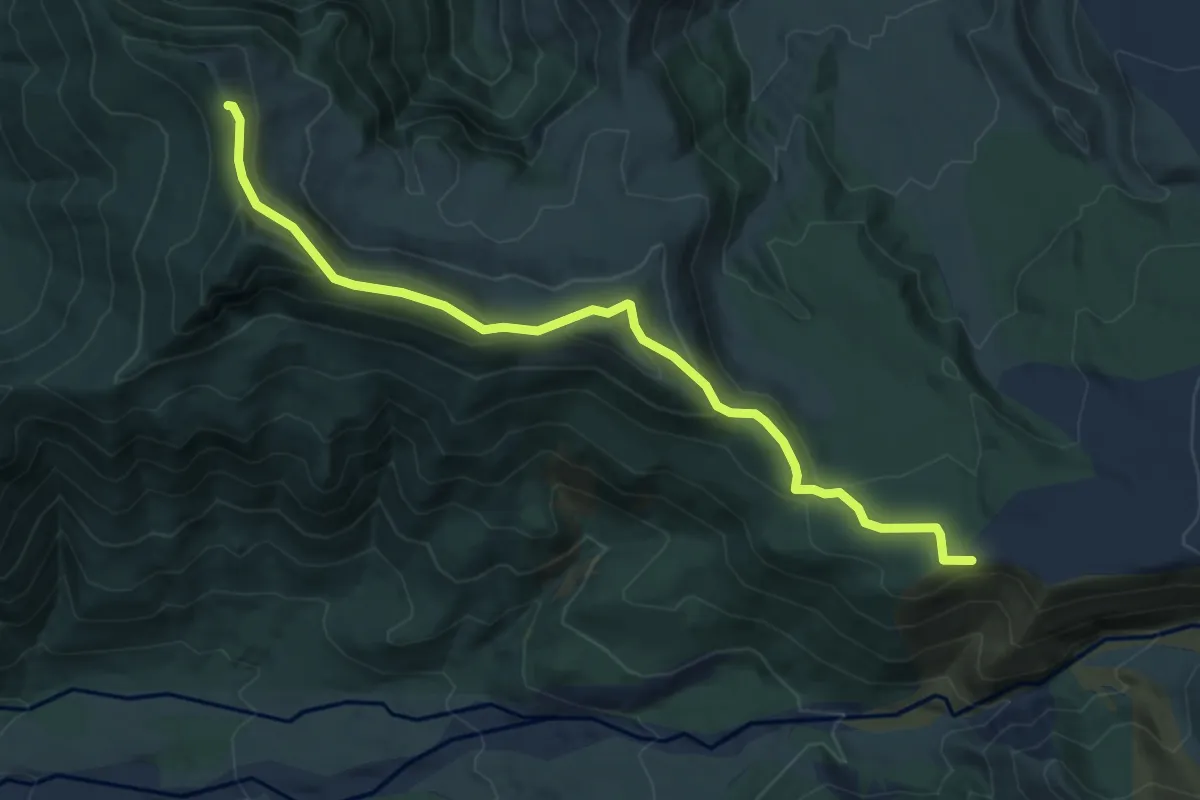
Easy · Trail
Castle Ridge Trail
5.8 km · ↑ 235 m · 1 h 53 min
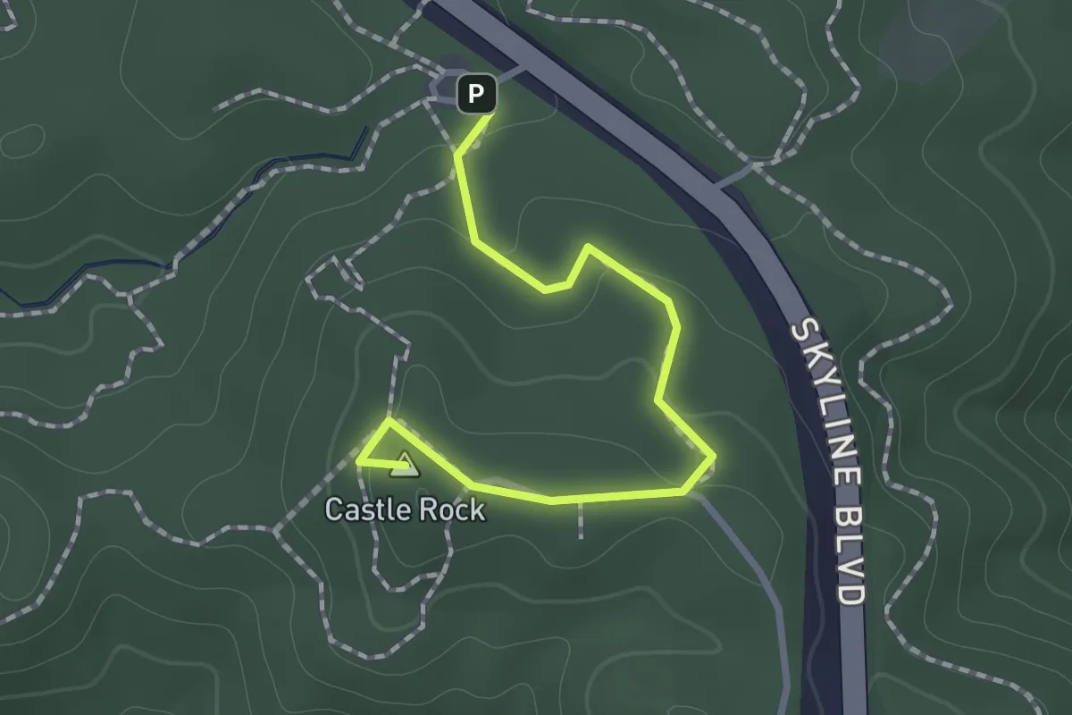
Easy · Summit
Castle Rock Trail
1.3 km · ↑ 58 m · 25 min
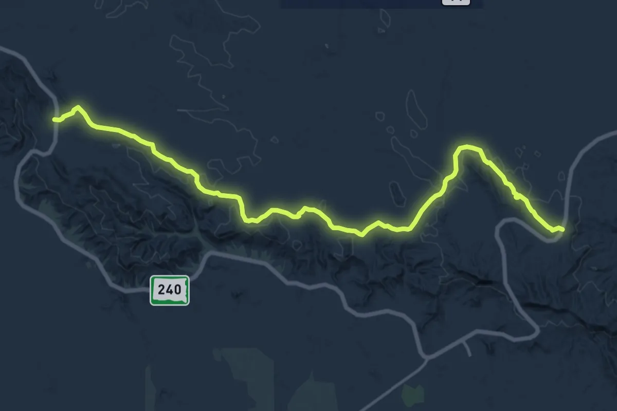
Medium · Trail
Castle Trail
16.4 km · ↑ 55 m · 4 h
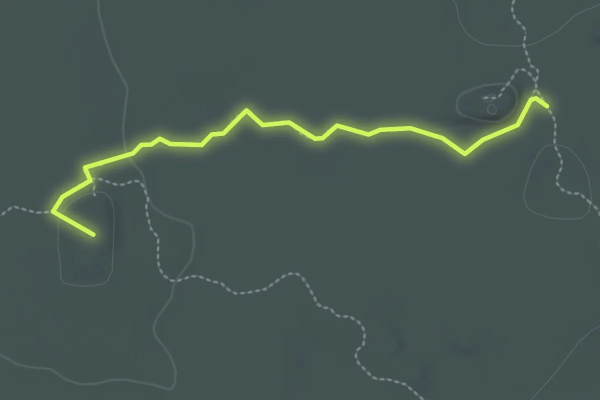
Easy · Summit
Castle Trail
2.7 km · ↑ 24 m · 42 min
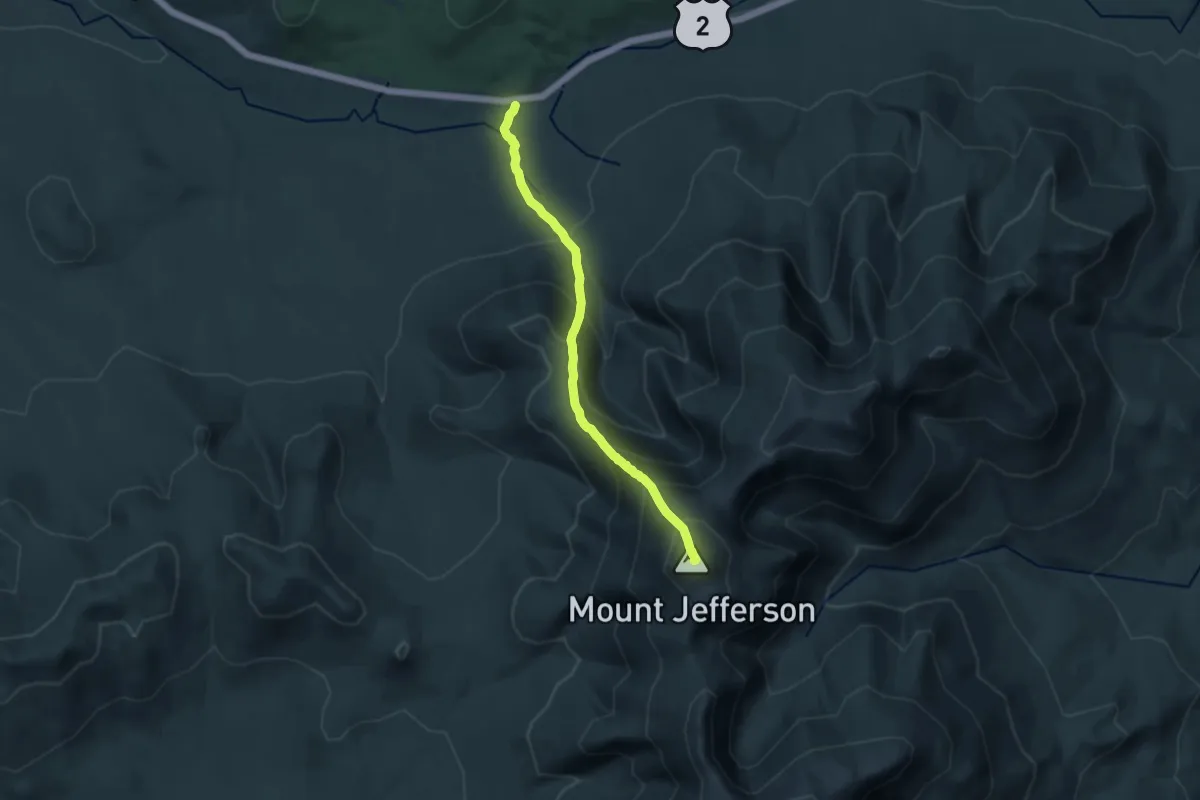
Demanding · Summit
Castle Trail
14.0 km · ↑ 1280 m · 6 h 5 min
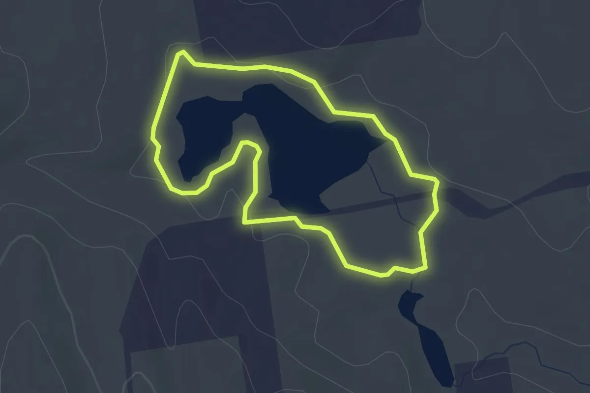
Easy · Trail
Castor Pond Loop Trail
2.6 km · ↑ 16 m · 41 min
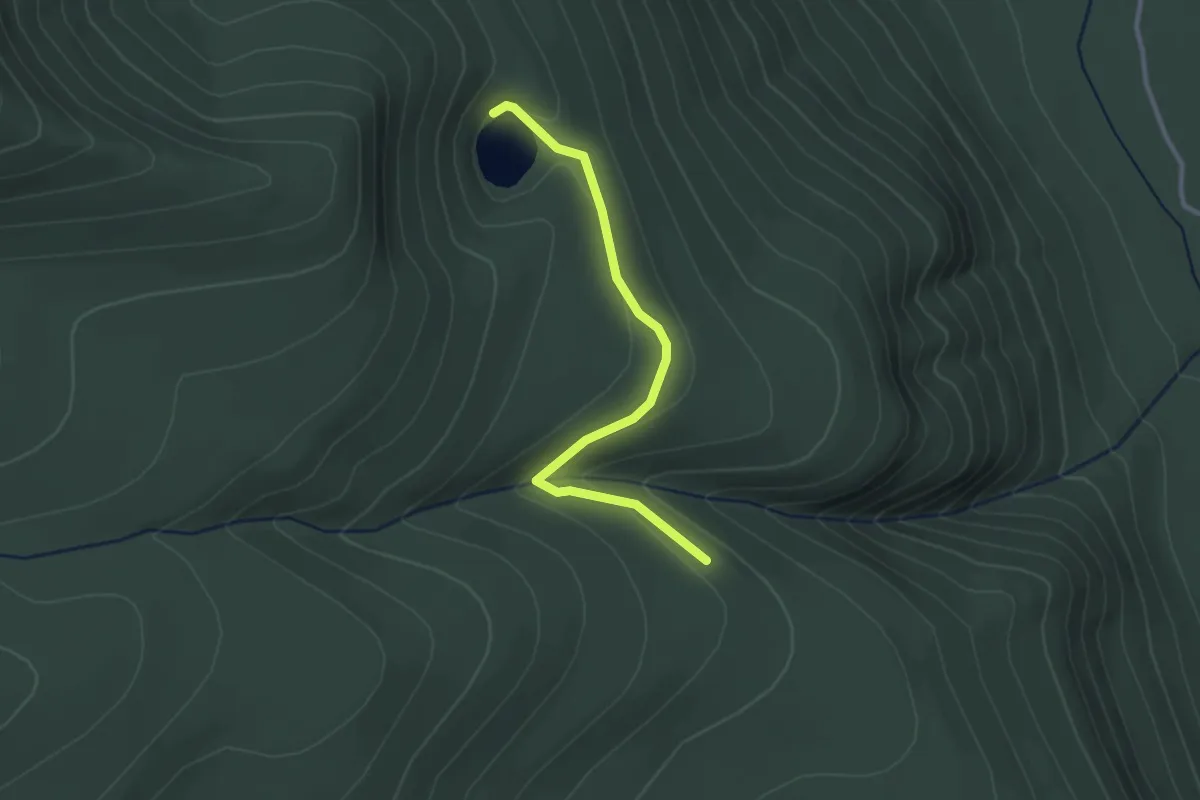
Easy · Trail
Catalpa Lake Trail
2.9 km · ↑ 55 m · 48 min
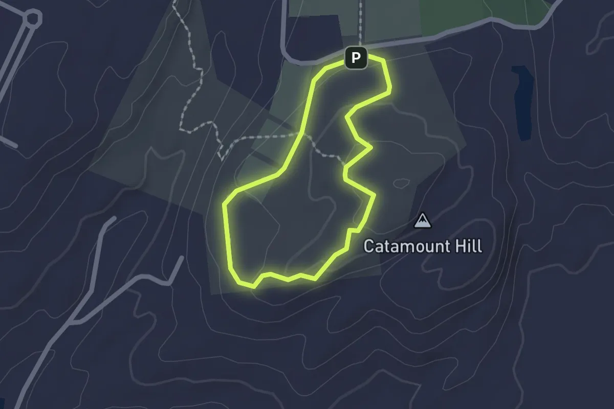
Easy · Summit
Catamount Hill Loop
1.5 km · ↑ 34 m · 27 min
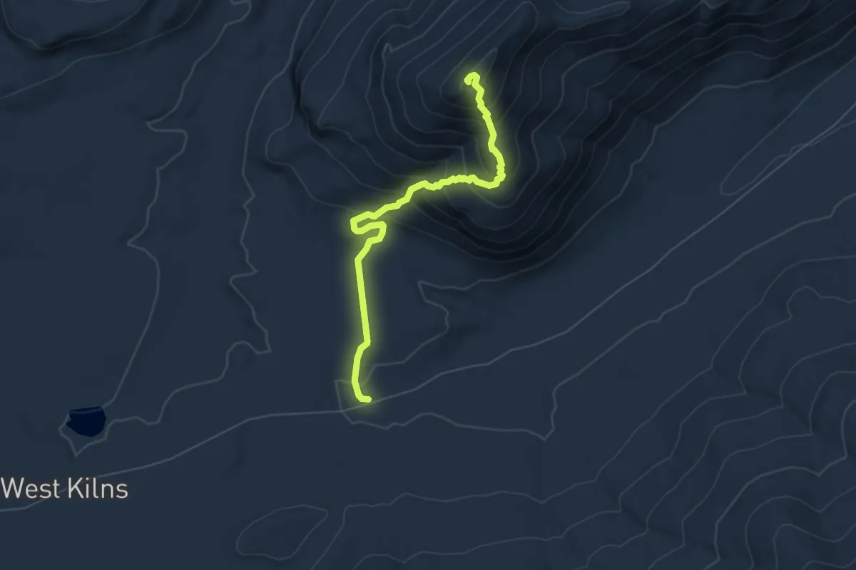
Medium · Summit
Catamount Mountain Trail
6.2 km · ↑ 487 m · 2 h 31 min
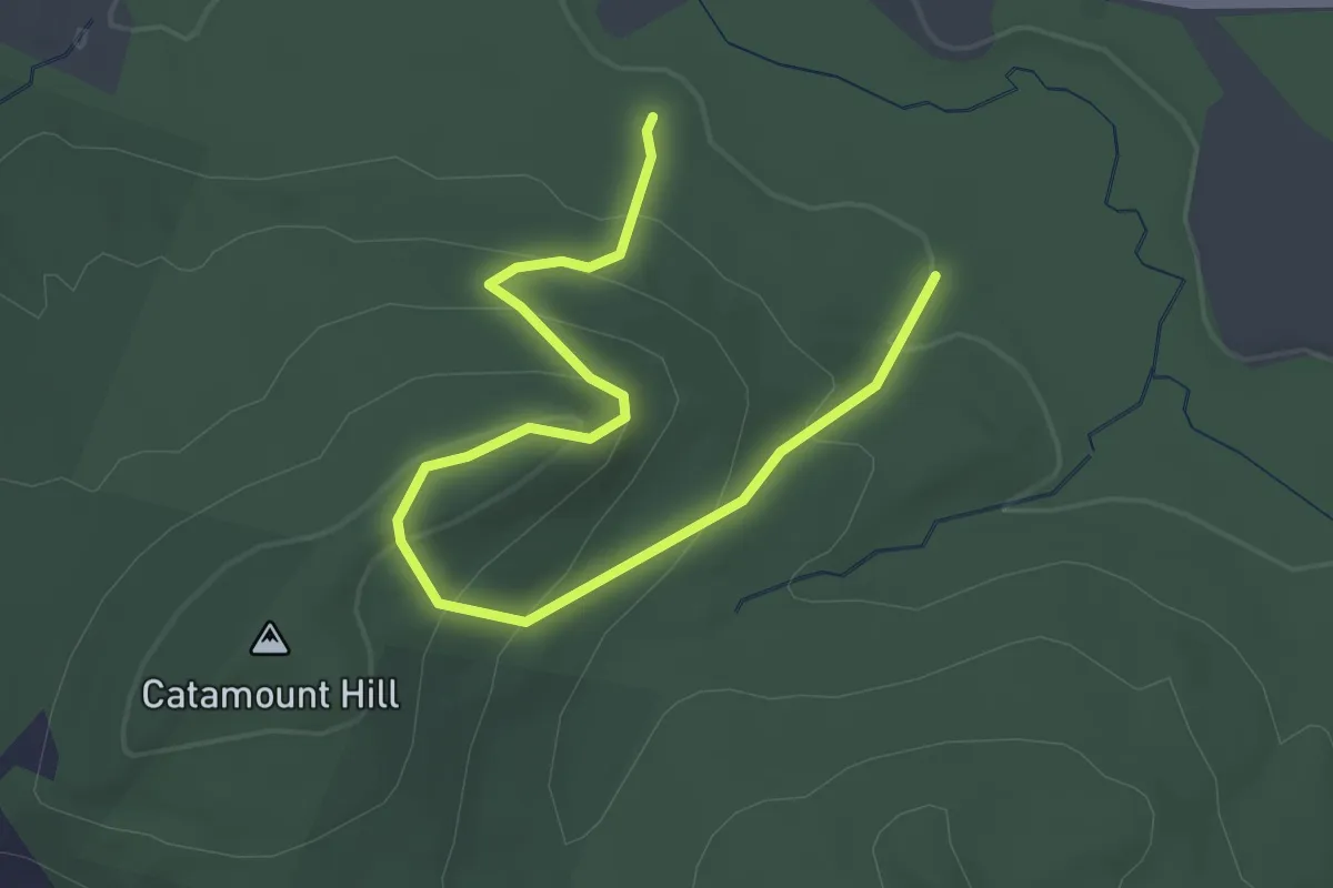
Easy · Trail
Catamount Trail
3.5 km · ↑ 207 m · 1 h 17 min
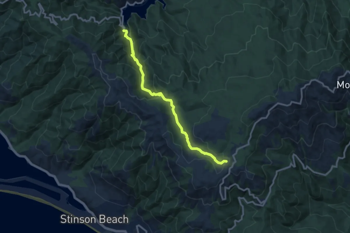
Medium · Trail
Cataract Trail
8.7 km · ↑ 412 m · 2 h 56 min
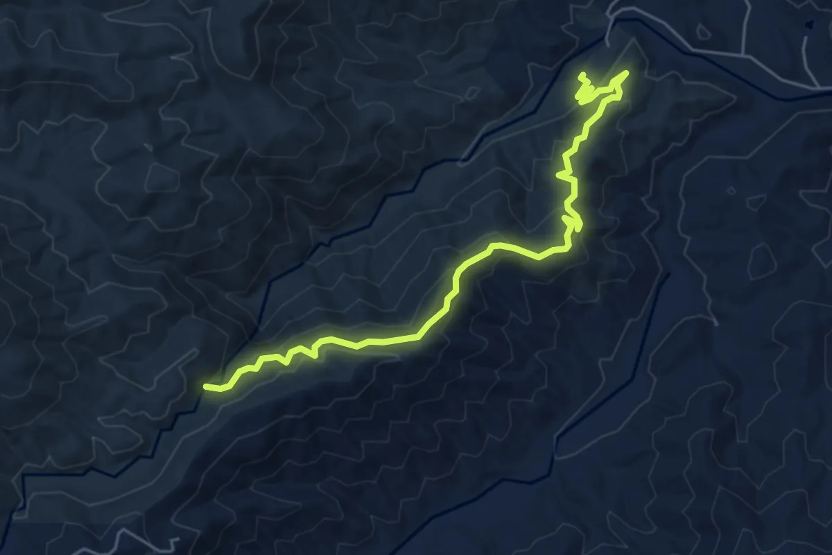
Medium · Trail
Catawba Falls Ridge Trail
6.7 km · ↑ 359 m · 2 h 21 min
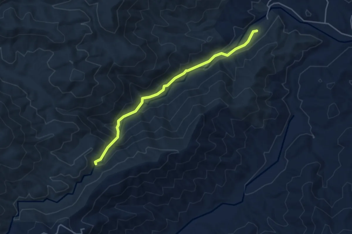
Easy · Trail
Catawba Falls River Trail
4.2 km · ↑ 240 m · 1 h 31 min
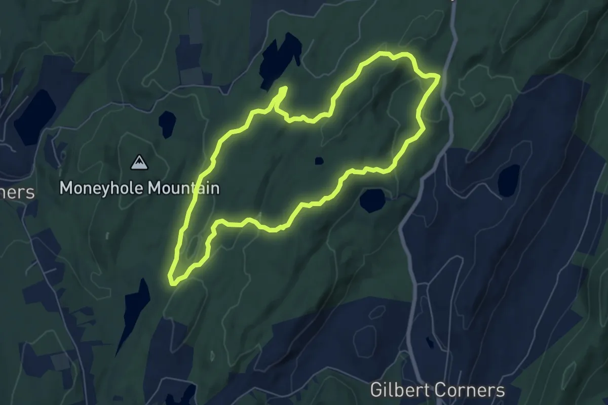
Easy · Trail
Catfish Loop
6.9 km · ↑ 185 m · 2 h 7 min
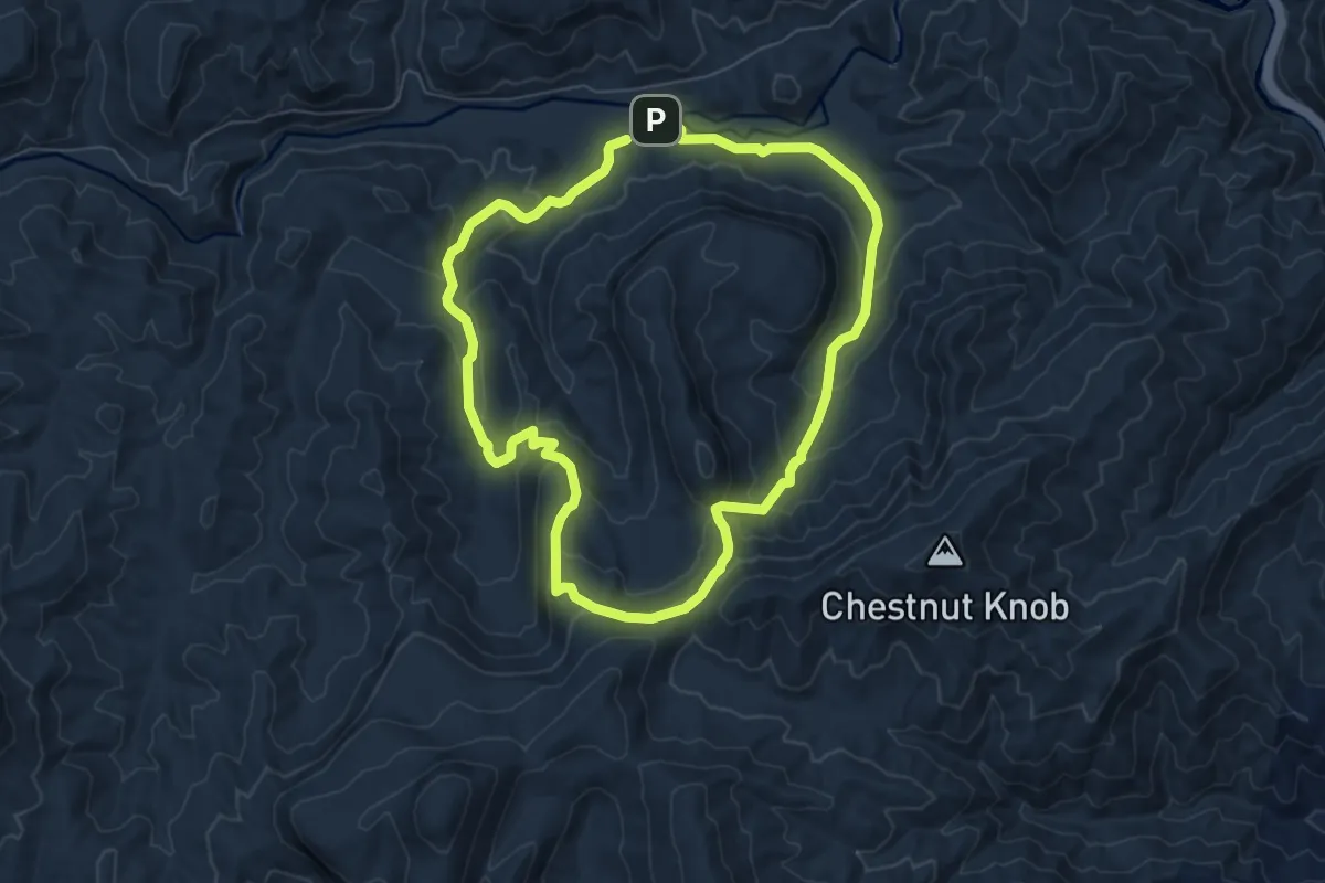
Medium · Trail
Cat Gap Loop Trail
14.3 km · ↑ 634 m · 4 h 46 min
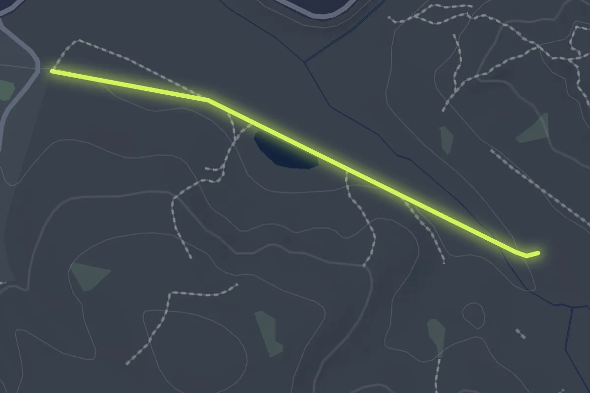
Easy · Trail
Cathedral Aisle
2.4 km · ↑ 4 m · 35 min
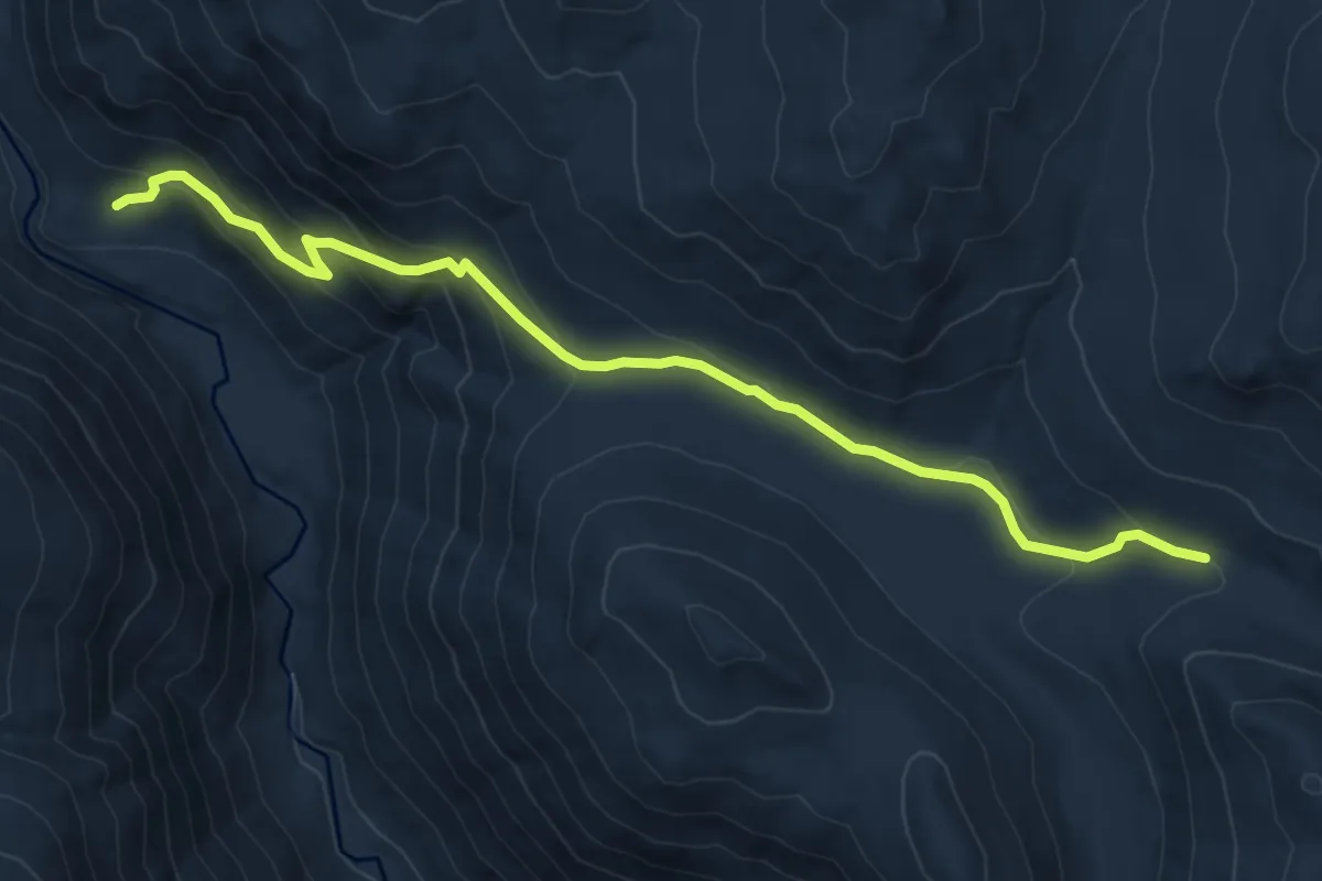
Medium · Trail
Cathedral Driveway Trail
7.5 km · ↑ 383 m · 2 h 36 min
Medium · Trail
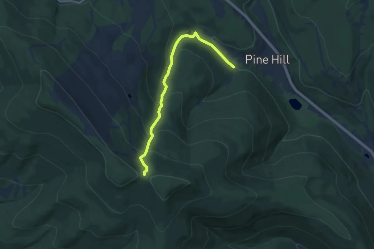
Cathedral Glen Trail
6.8 km · ↑ 491 m · 2 h 40 min
Easy · Trail
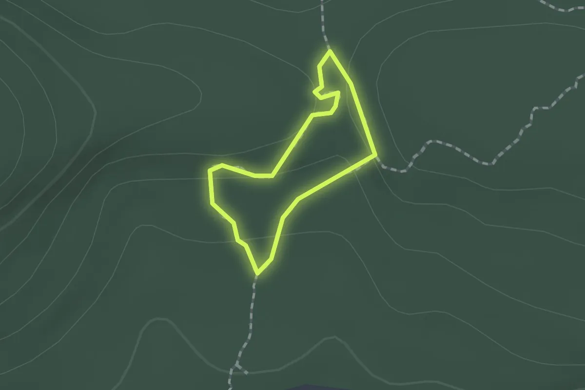
Cathedral Grove Loop Trail
1.0 km · ↑ 21 m · 17 min
Demanding · Trail
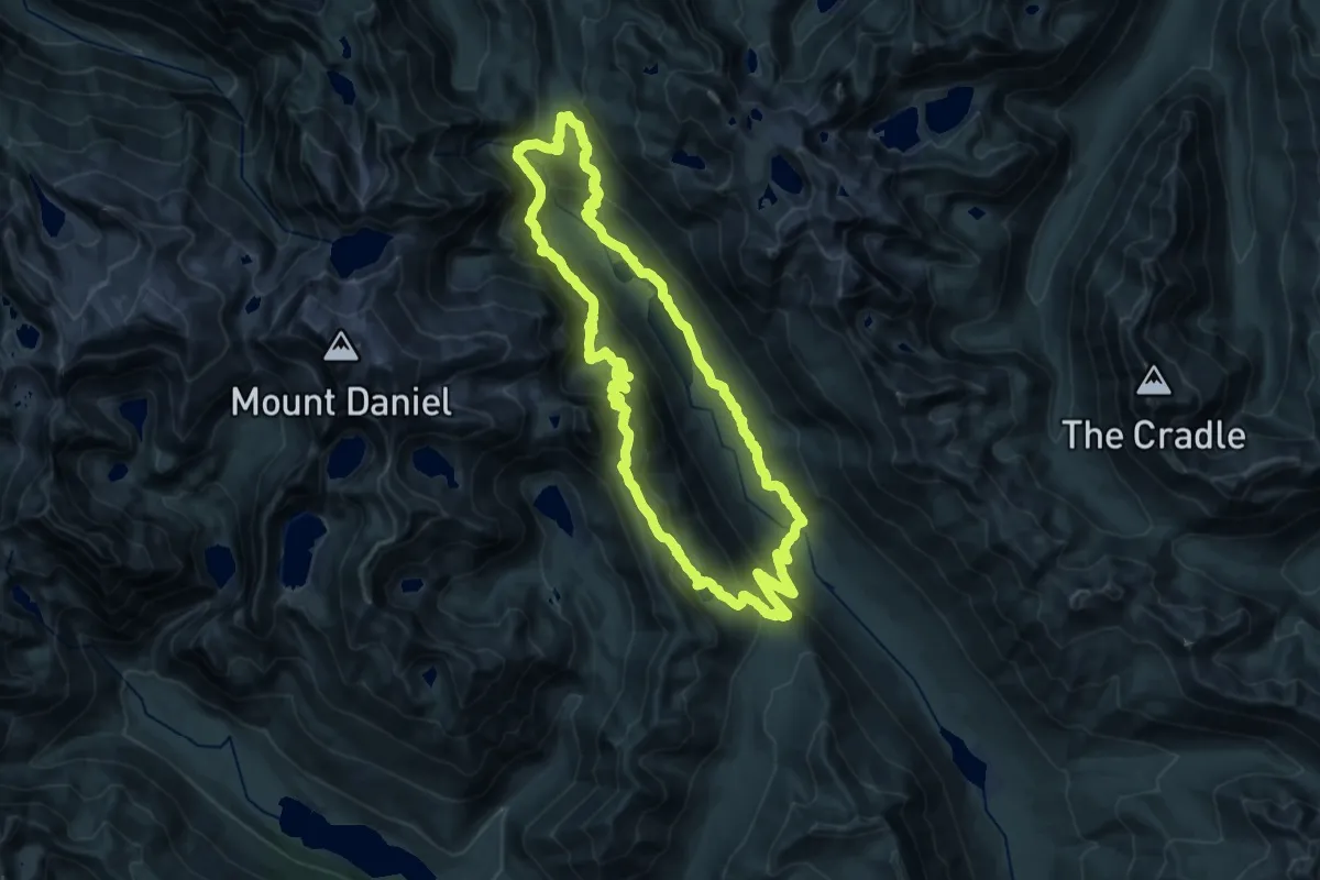
Cathedral Pass Loop
22.1 km · ↑ 991 m · 7 h 41 min
Medium · Trail
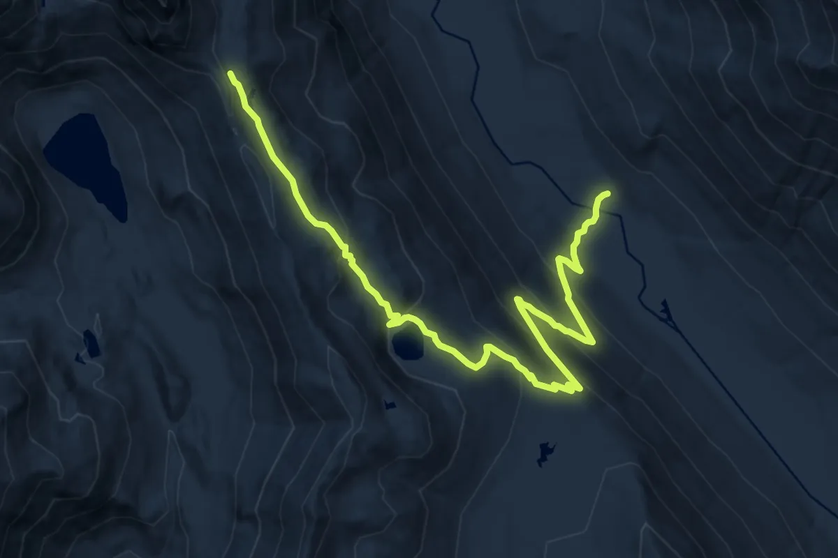
Cathedral Pass Trail
13.0 km · ↑ 691 m · 4 h 34 min
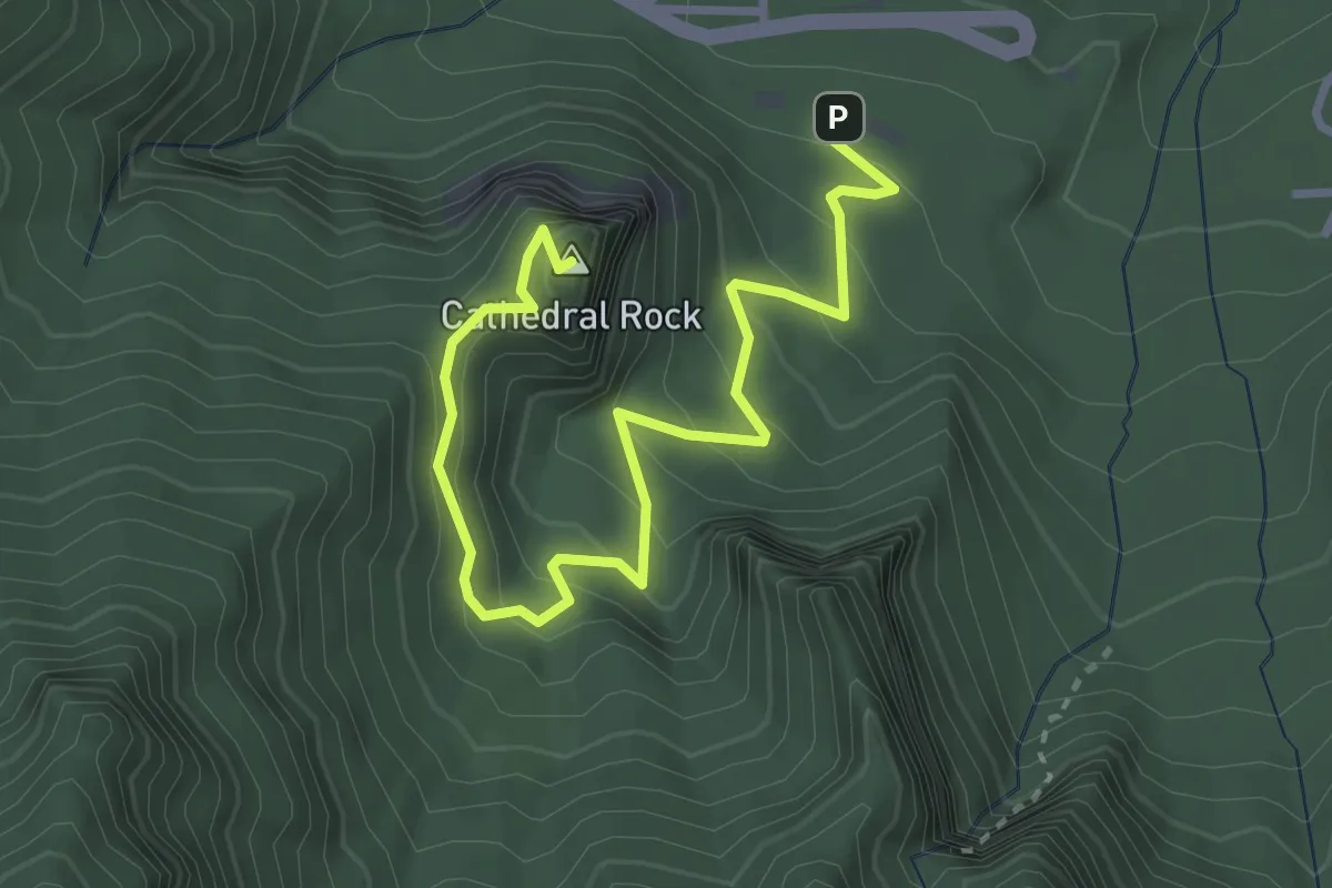
Easy · Summit
Cathedral Rock Trail
4.3 km · ↑ 303 m · 1 h 41 min
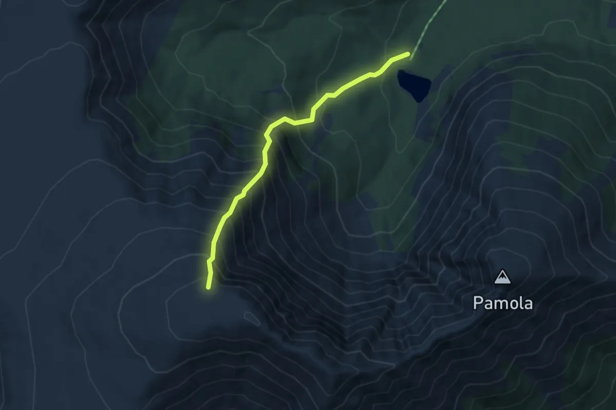
Medium · Trail
Cathedral Trail
3.4 km · ↑ 677 m · 2 h 16 min
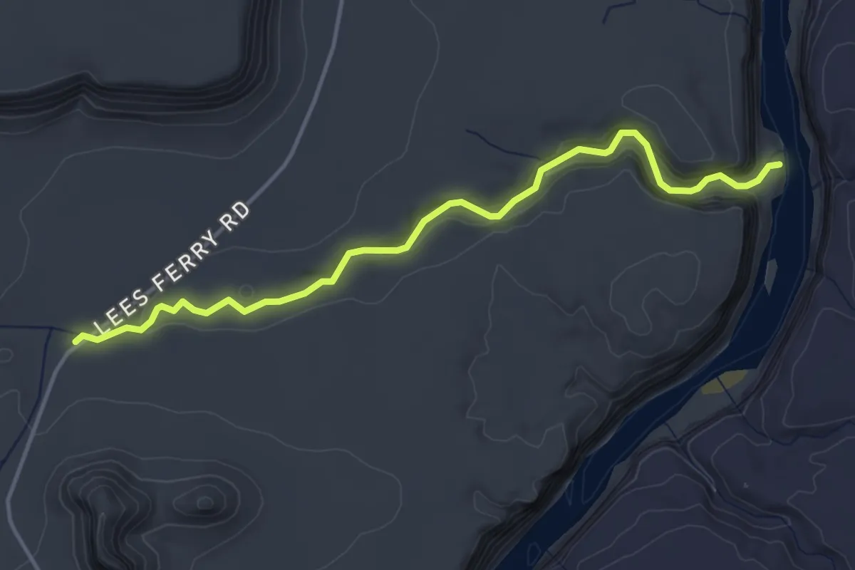
Easy · Trail
Cathedral Wash
5.0 km · ↑ 192 m · 1 h 35 min
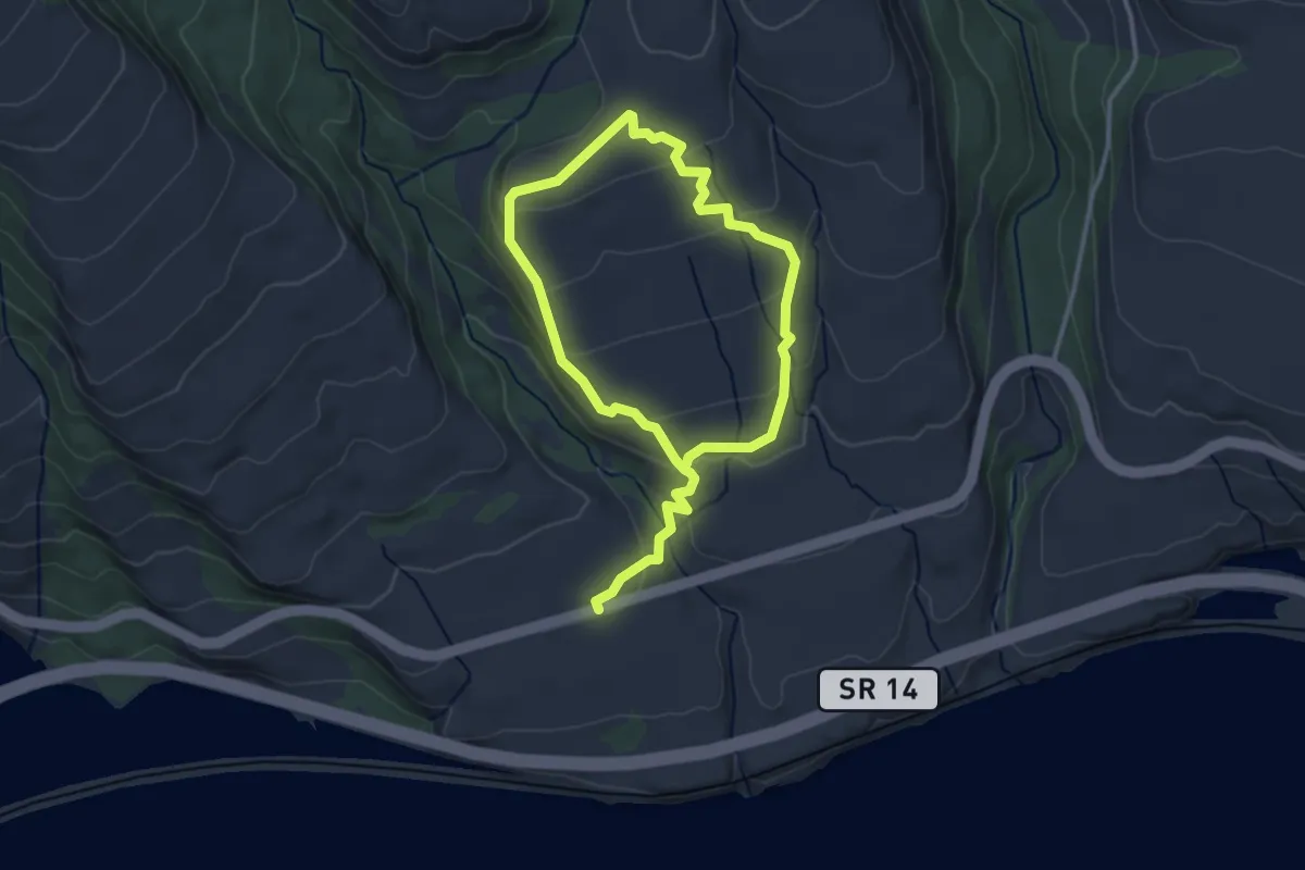
Easy · Trail
Catherine Creek North Loop
5.3 km · ↑ 217 m · 1 h 43 min