Trails in United States
10,332 hiking trails, each with its route, climb, walking time and grade.
All trails, page 34 of 216
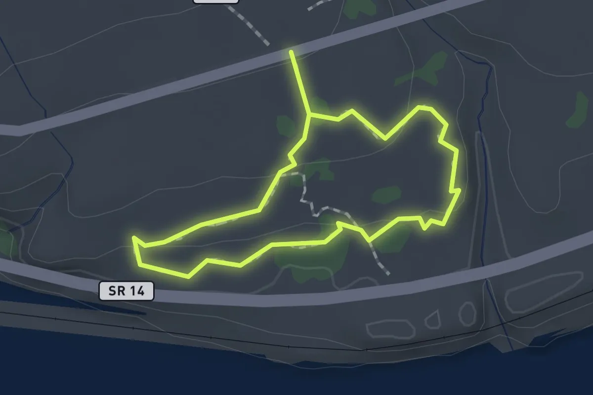
Easy · Trail
Catherine Creek South Loop
1.3 km · ↑ 18 m · 22 min
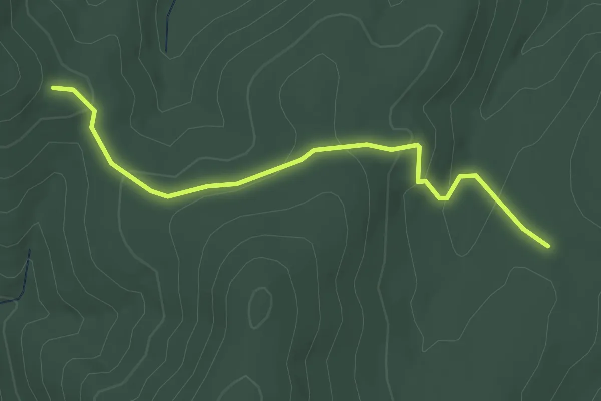
Easy · Trail
Catlett Mountain Trail
3.7 km · ↑ 148 m · 1 h 11 min
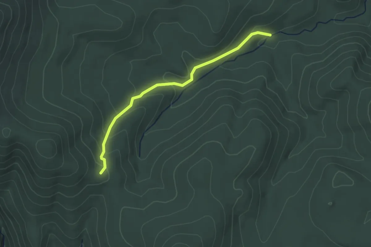
Easy · Trail
Catlett Spur Trail
3.4 km · ↑ 145 m · 1 h 7 min
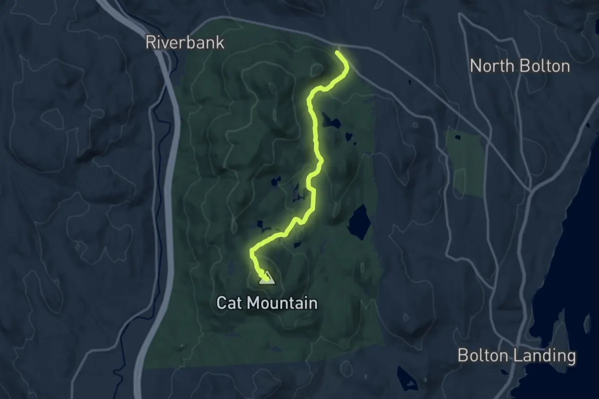
Medium · Summit
Cat Mountain Blue Trail
10.8 km · ↑ 404 m · 3 h 26 min
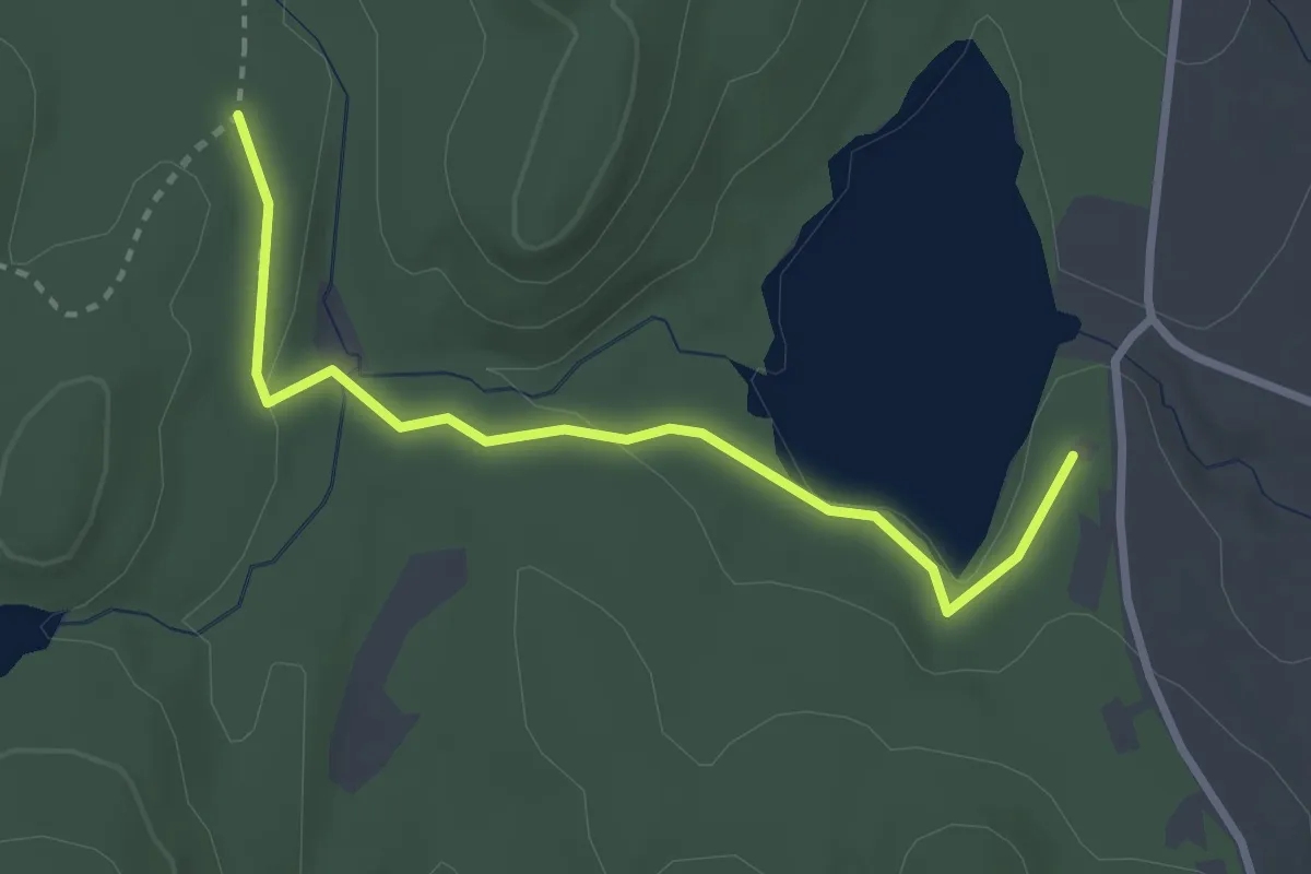
Easy · Trail
Cat Mountain Red Trail
1.5 km · ↑ 47 m · 28 min
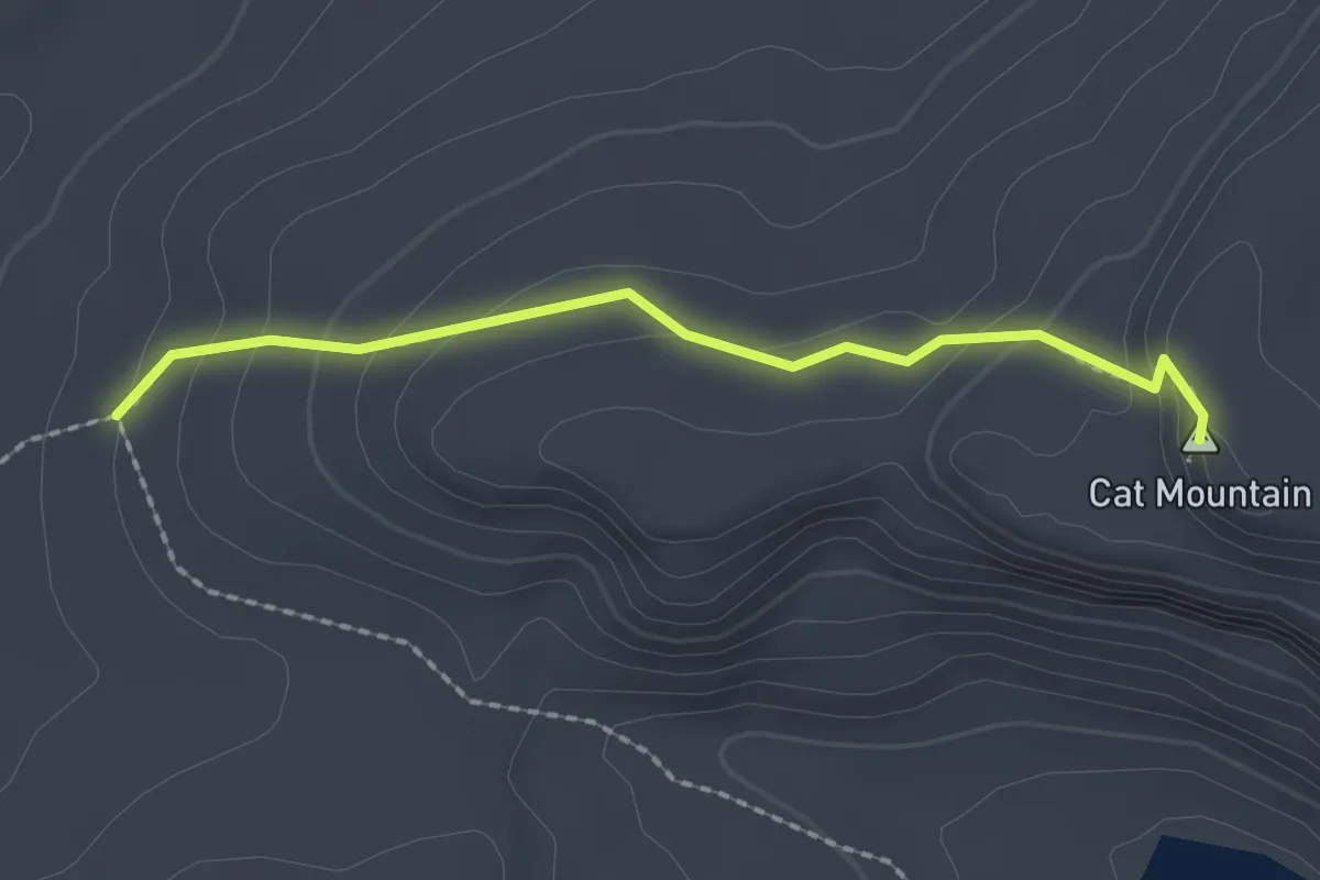
Easy · Summit
Cat Mountain Trail
2.0 km · ↑ 118 m · 44 min
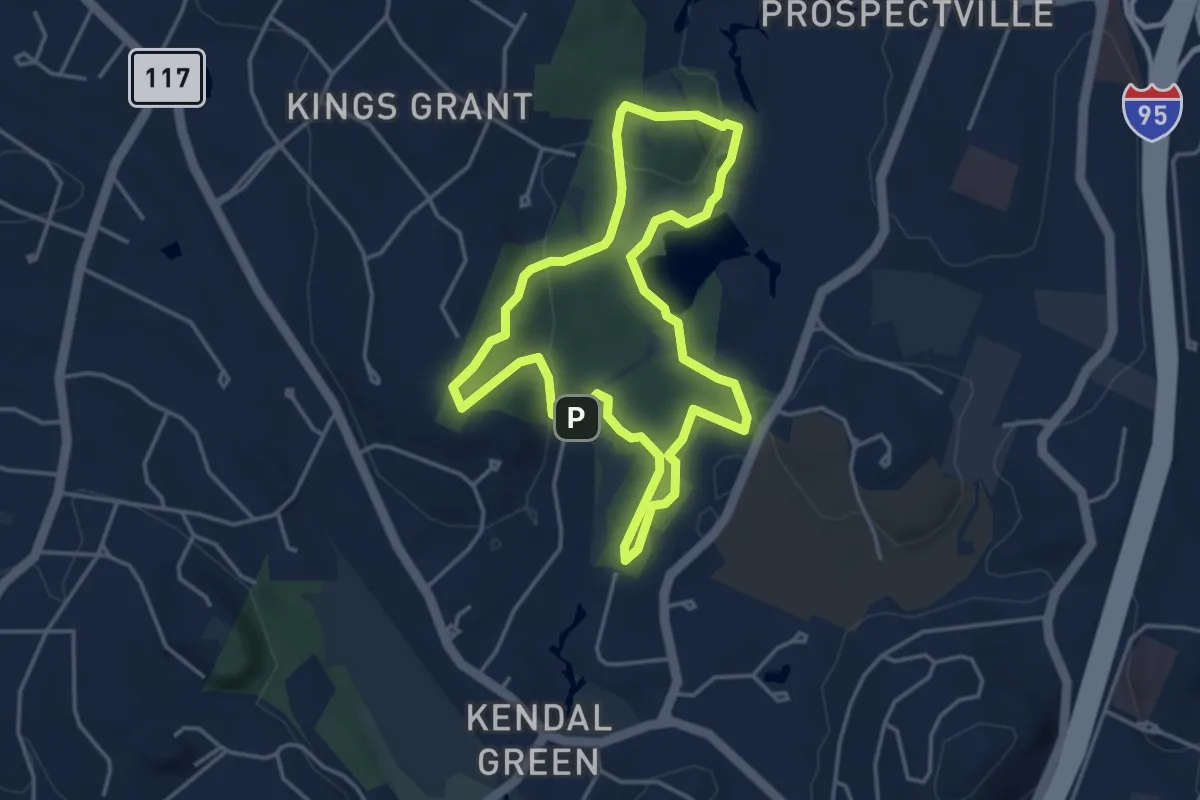
Easy · Summit
Cat Rock Loop
4.1 km · ↑ 79 m · 1 h 12 min
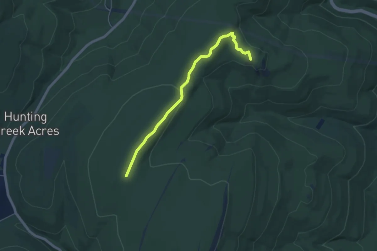
Medium · Summit
Cat Rock Trail
5.0 km · ↑ 115 m · 1 h 26 min
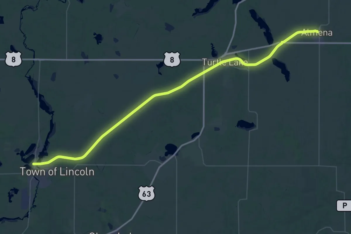
Demanding · Trail
Cattail State Trail
30.1 km · ↑ 70 m · 7 h 39 min
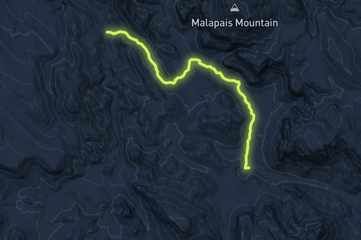
Medium · Trail
Cavalry Trail
10.1 km · ↑ 221 m · 2 h 51 min
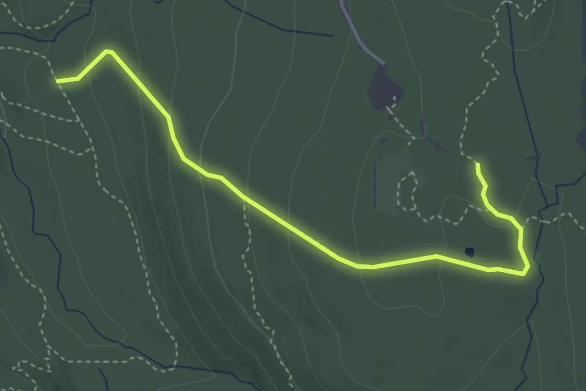
Easy · Trail
Cave Hole Trail
3.9 km · ↑ 158 m · 1 h 16 min
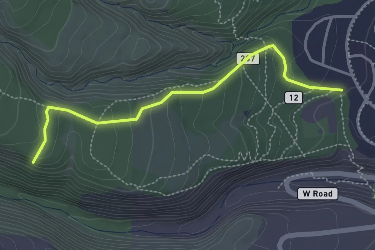
Easy · Trail
Cave of the Winds Trail
1.6 km · ↑ 136 m · 38 min
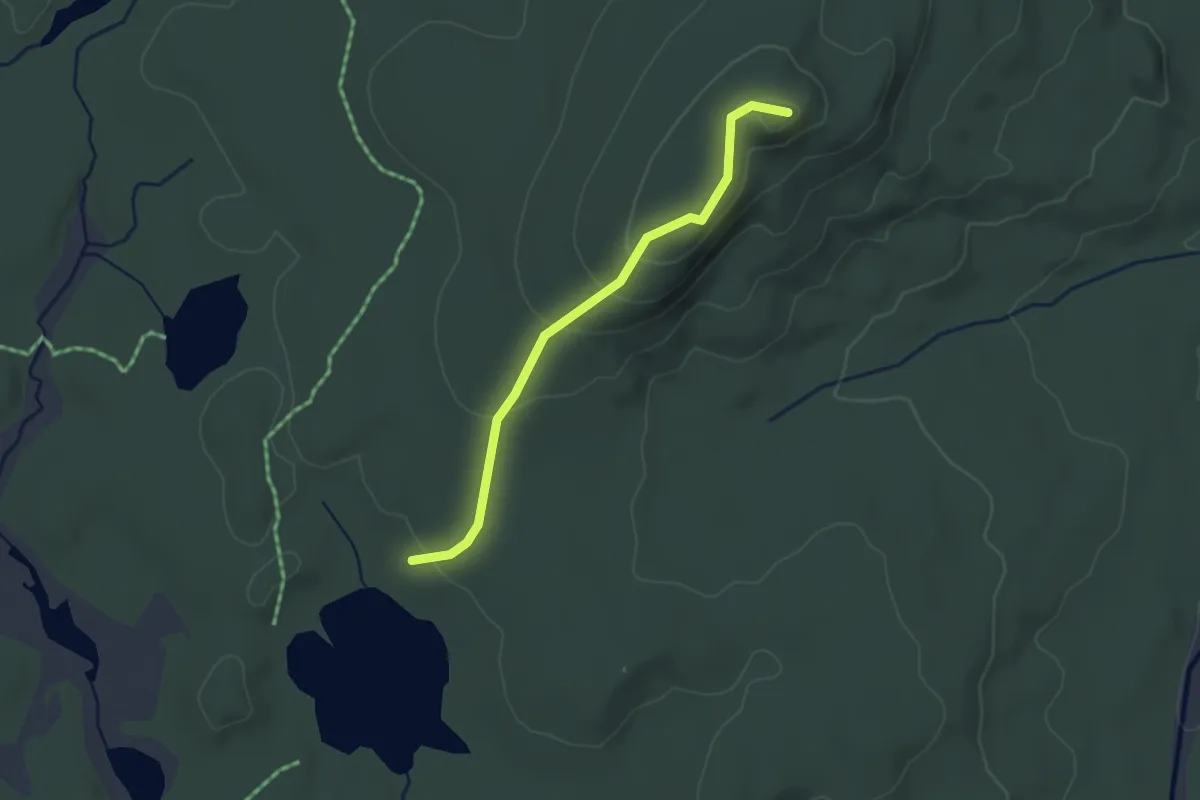
Easy · Trail
Caverly Lookout
2.7 km · ↑ 107 m · 52 min
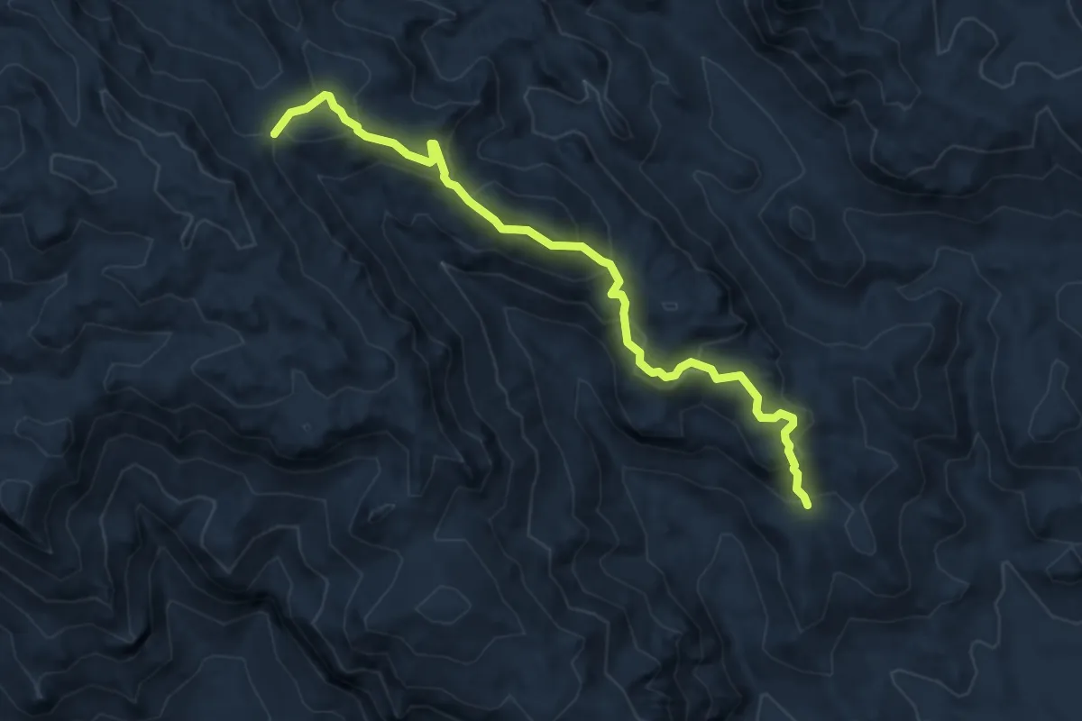
Medium · Trail
Cave Trail #233
5.7 km · ↑ 416 m · 2 h 14 min
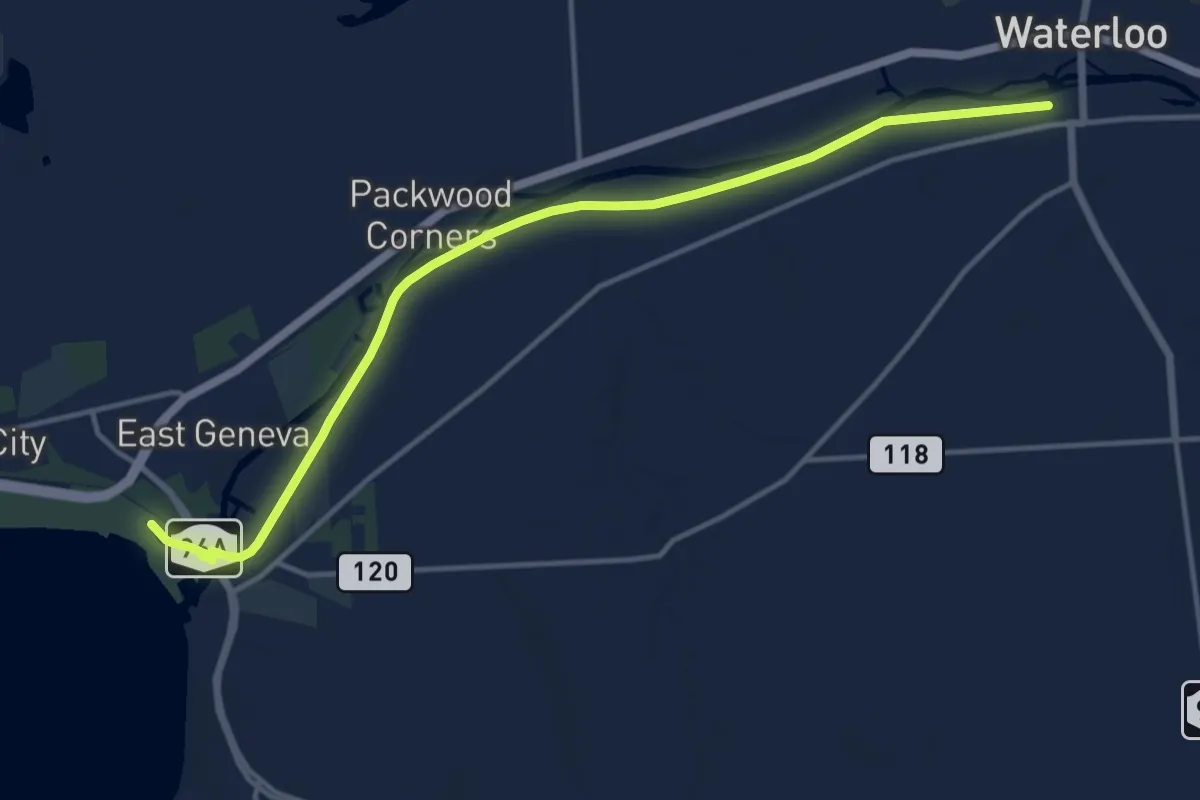
Medium · Trail
Cayuga-Seneca Canal Trail walking
15.8 km · ↑ 17 m · 3 h 47 min
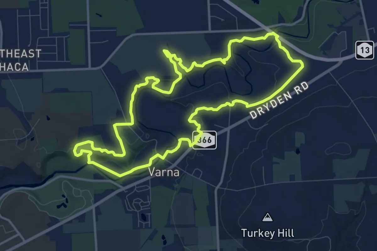
Medium · Trail
Cayuga Trail
10.9 km · ↑ 176 m · 3 h 6 min
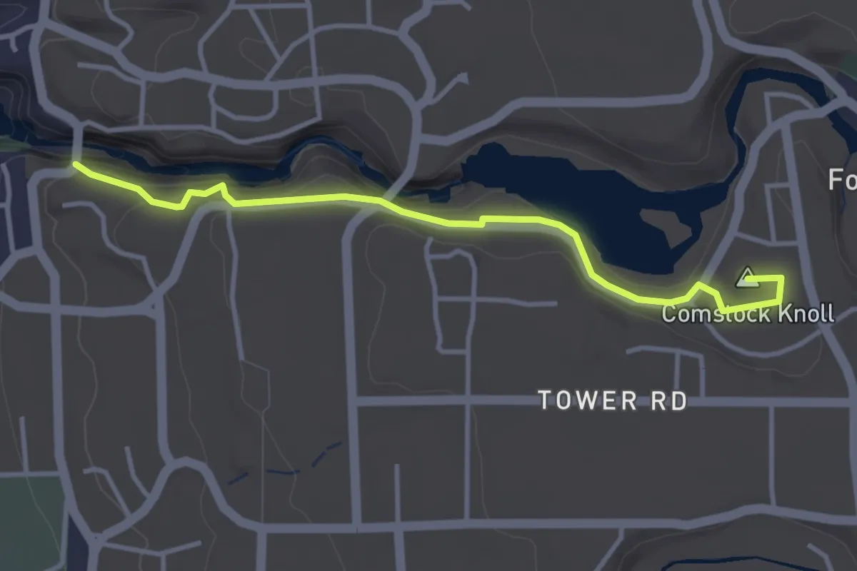
Easy · Summit
Cayuga Trail Extension
3.6 km · ↑ 148 m · 1 h 11 min
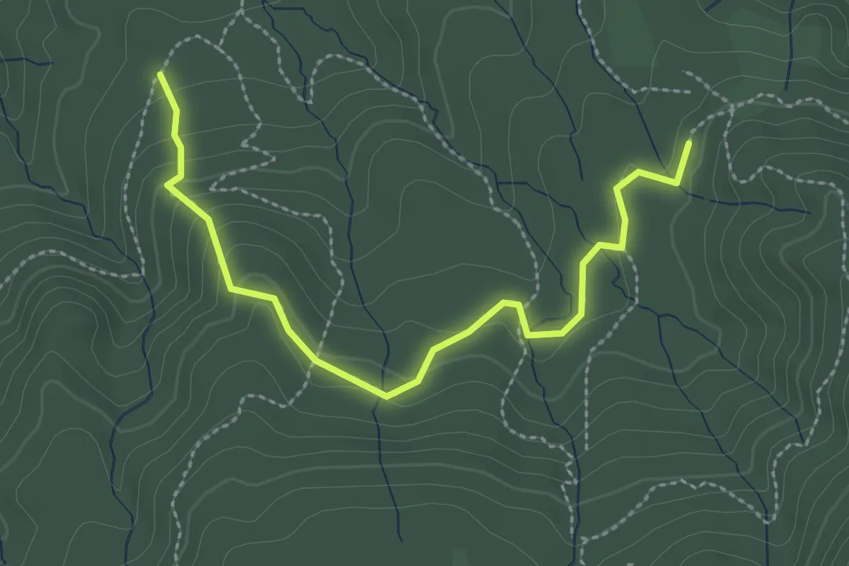
Easy · Trail
CC Boys Trail
3.1 km · ↑ 123 m · 1 h
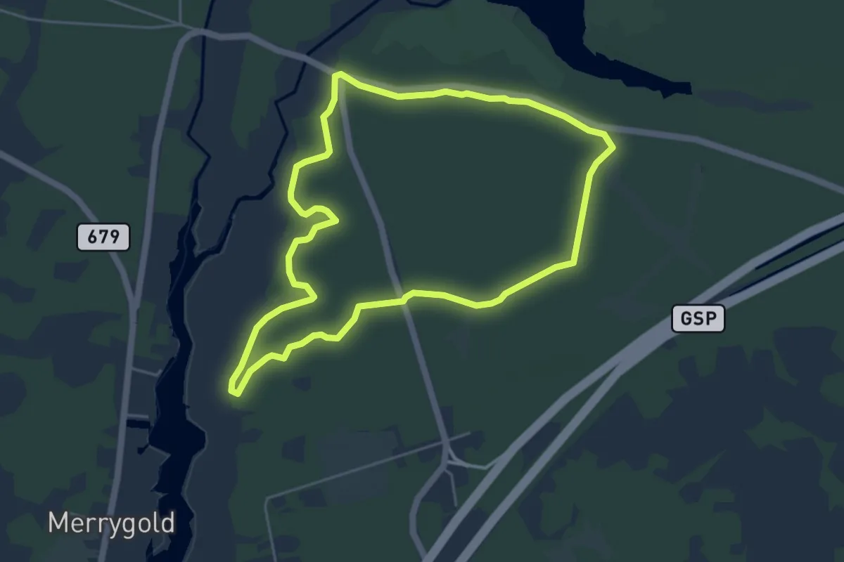
Easy · Trail
CCC (Orange) Trail
5.3 km · ↑ 5 m · 1 h 20 min
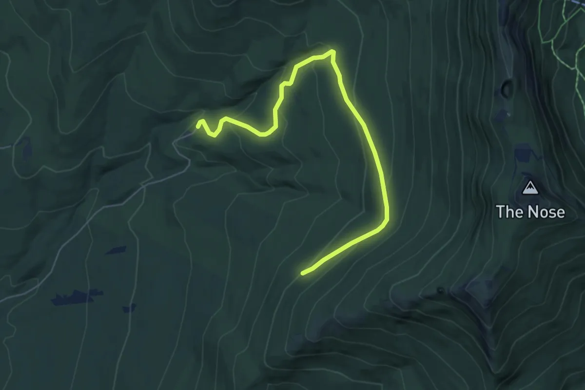
Easy · Trail
CCC Road
6.4 km · ↑ 303 m · 2 h 10 min
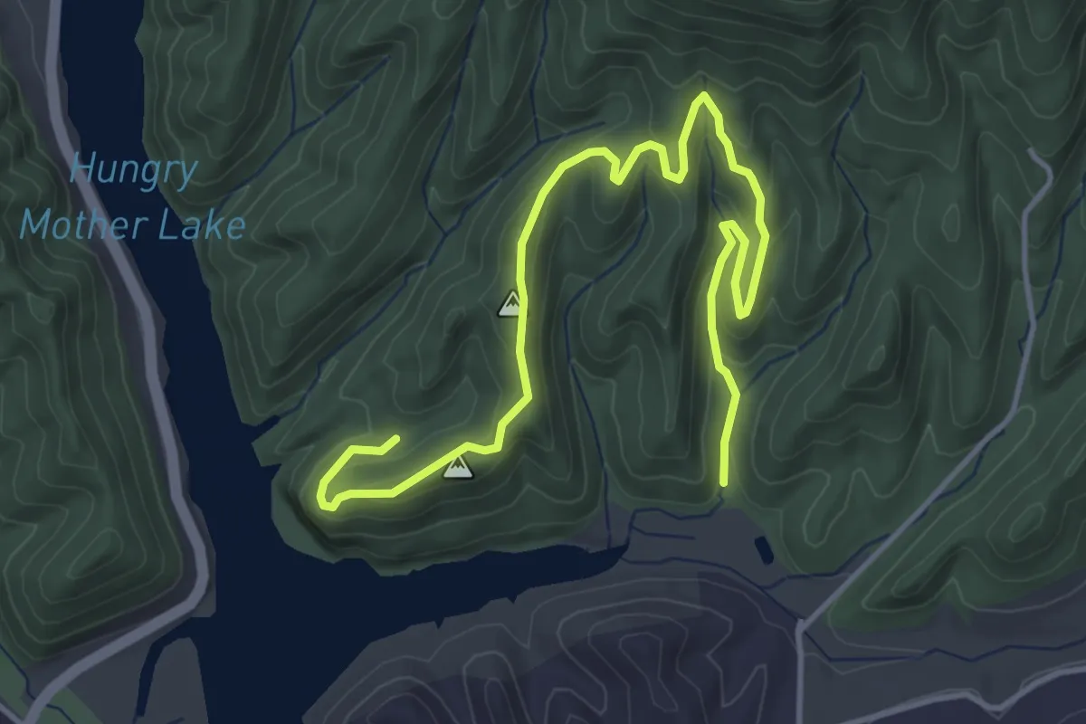
Easy · Trail
CCC Trail
6.1 km · ↑ 250 m · 1 h 58 min
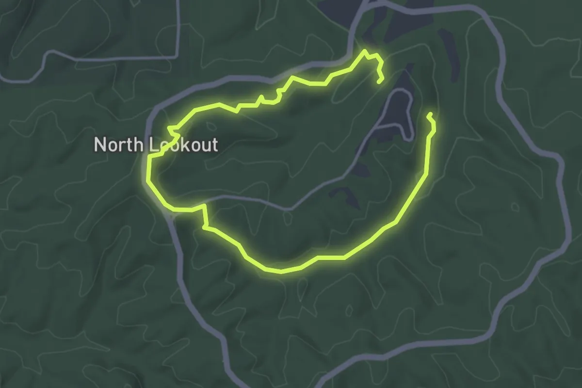
Easy · Trail
CCC Trail
6.2 km · ↑ 165 m · 1 h 50 min
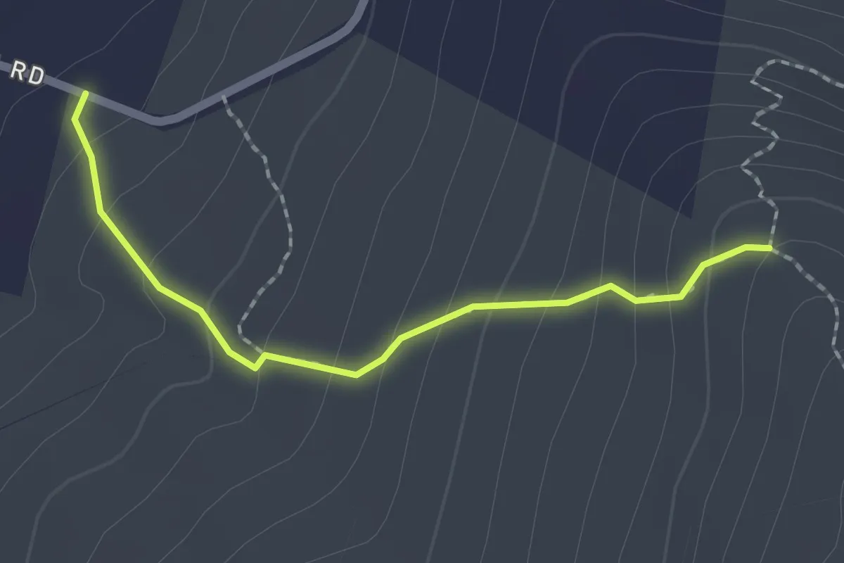
Easy · Trail
CCT Yellow Trail
2.1 km · ↑ 145 m · 48 min
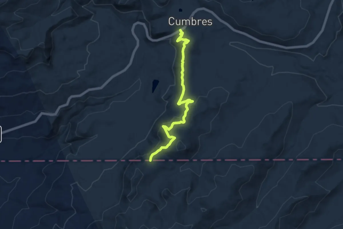
Medium · Trail
CDT - Colorado Section
9.3 km · ↑ 297 m · 2 h 51 min
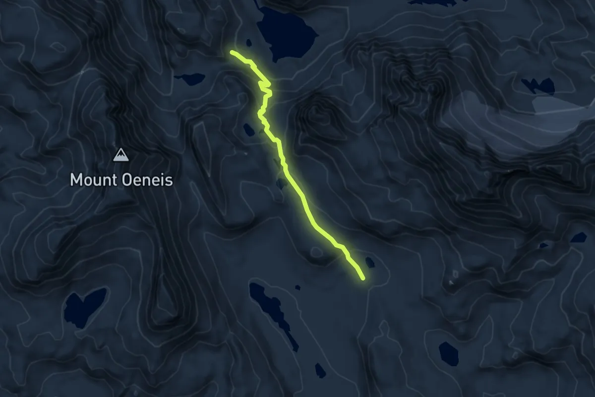
Demanding · Trail
CDT ha- Wyoming Alternates
4.9 km · ↑ 245 m · 1 h 42 min
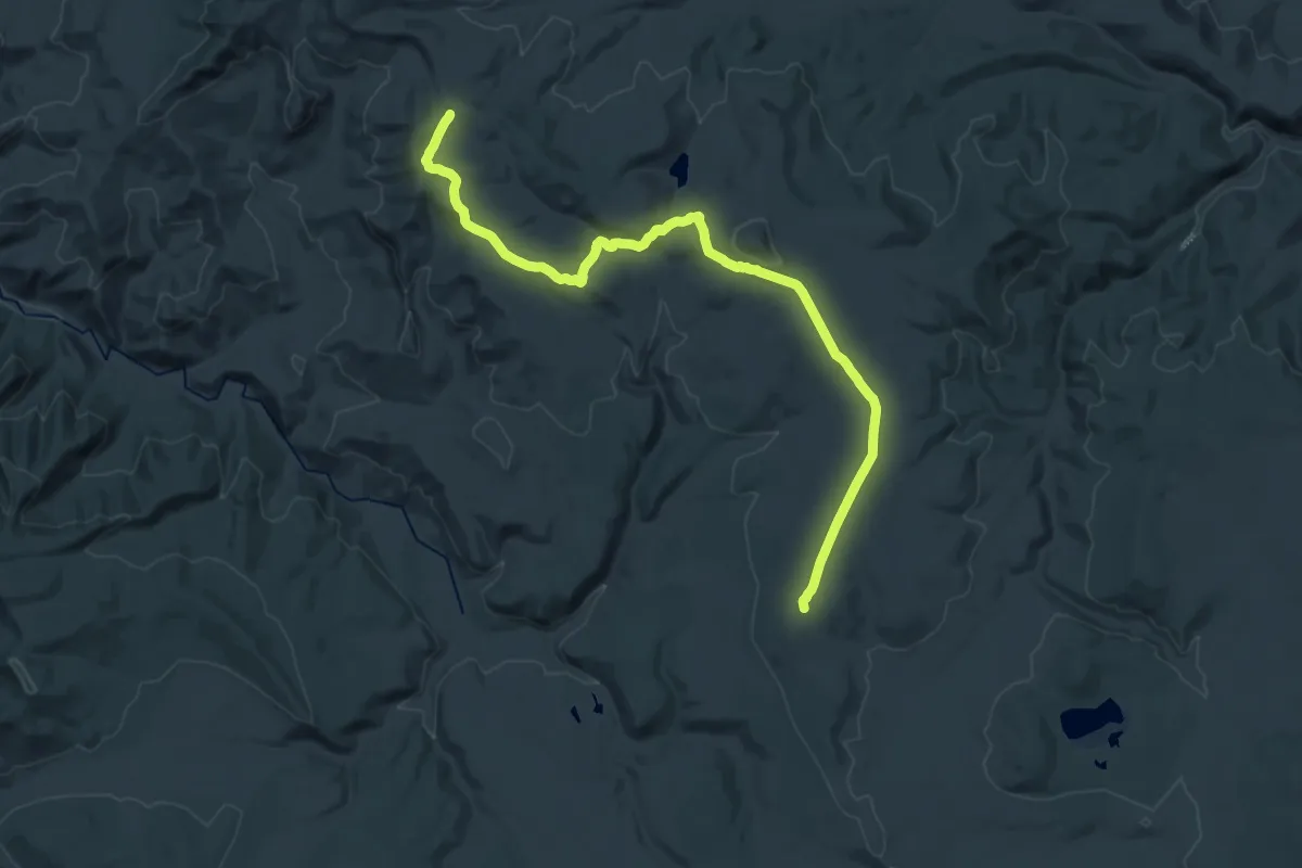
Medium · Trail
CDT hfjLW Lake of the Woods Alternate
14.9 km · ↑ 273 m · 4 h 21 min
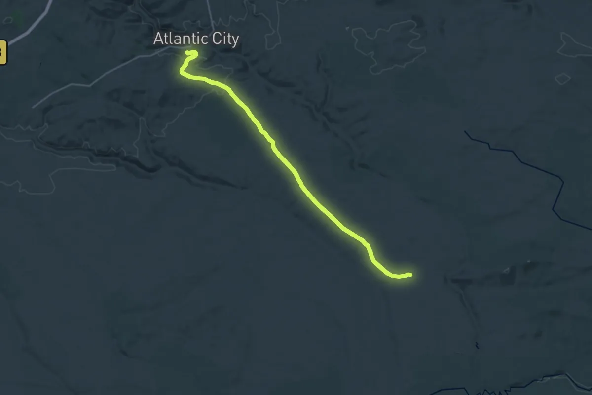
Demanding · Trail
CDT hje Riverview Road Alternate
23.4 km · ↑ 303 m · 6 h 11 min
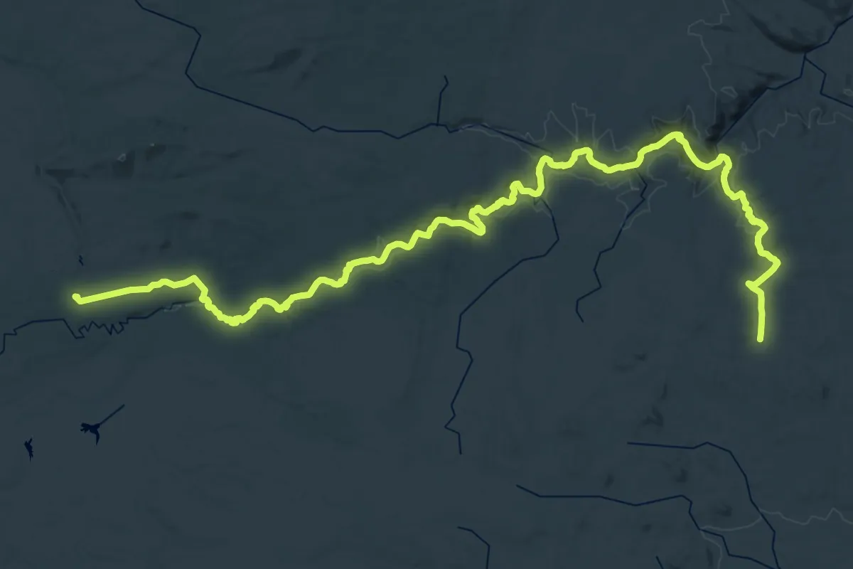
Demanding · Trail
CDT hjf Sweetwater River Route
28.5 km · ↑ 288 m · 7 h 44 min
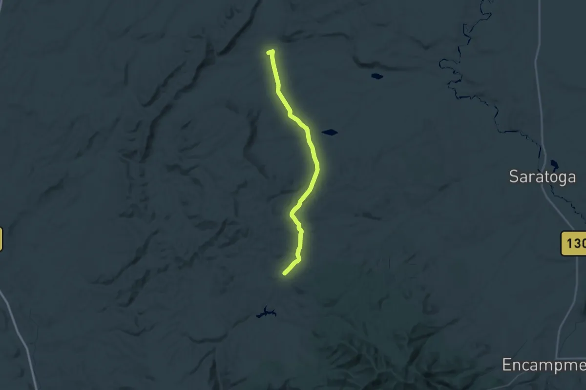
Demanding · Trail
CDT hmgXX Old route
37.3 km · ↑ 448 m · 10 h 24 min
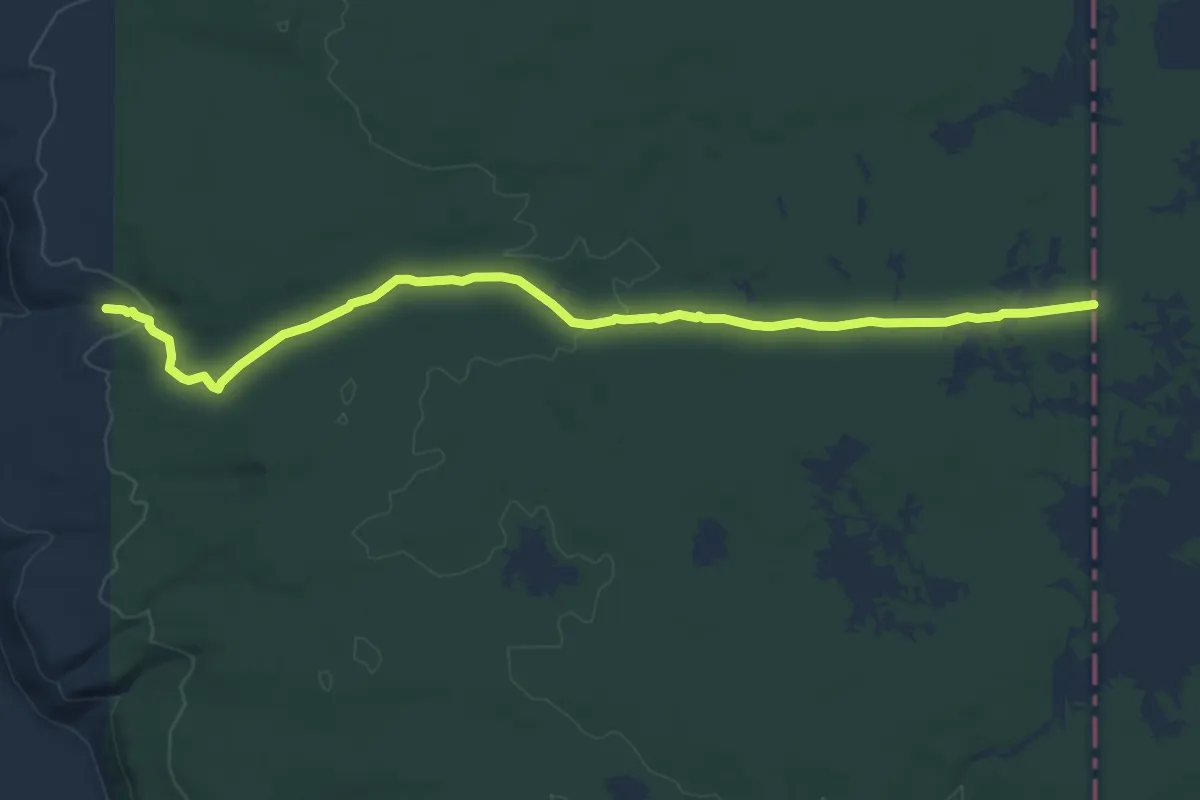
Medium · Trail
CDT - Idaho & Montana Section
8.6 km · ↑ 93 m · 2 h 14 min
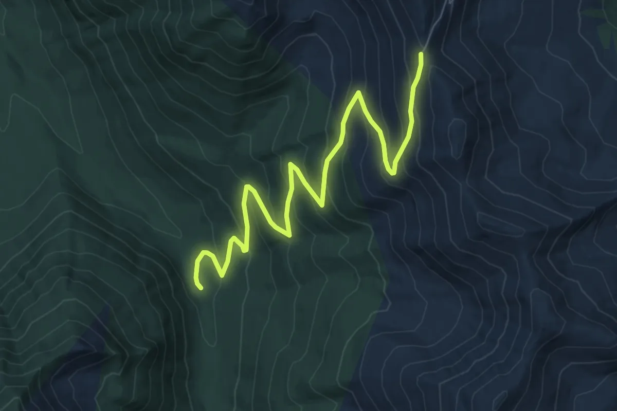
Medium · Trail
CDT iipST
9.1 km · ↑ 622 m · 3 h 30 min
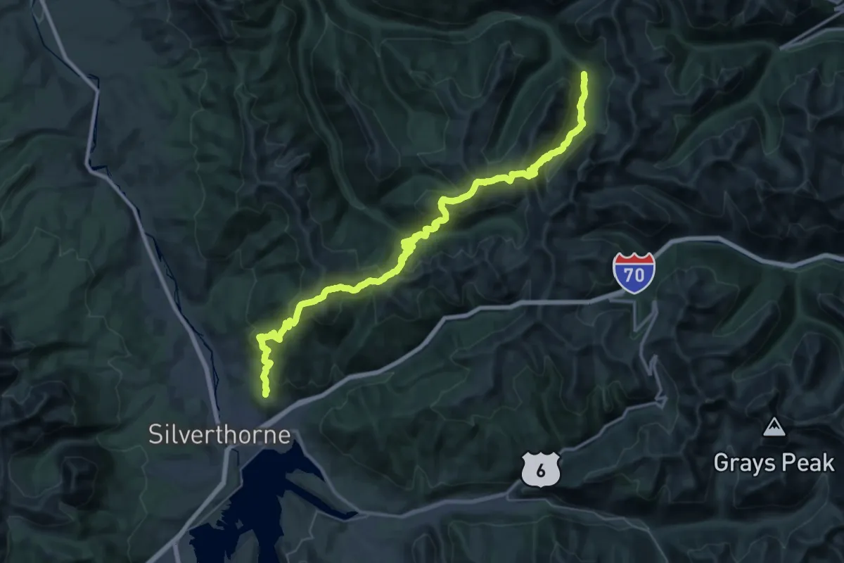
Demanding · Trail
CDT iiyST
27.6 km · ↑ 1361 m · 9 h 59 min
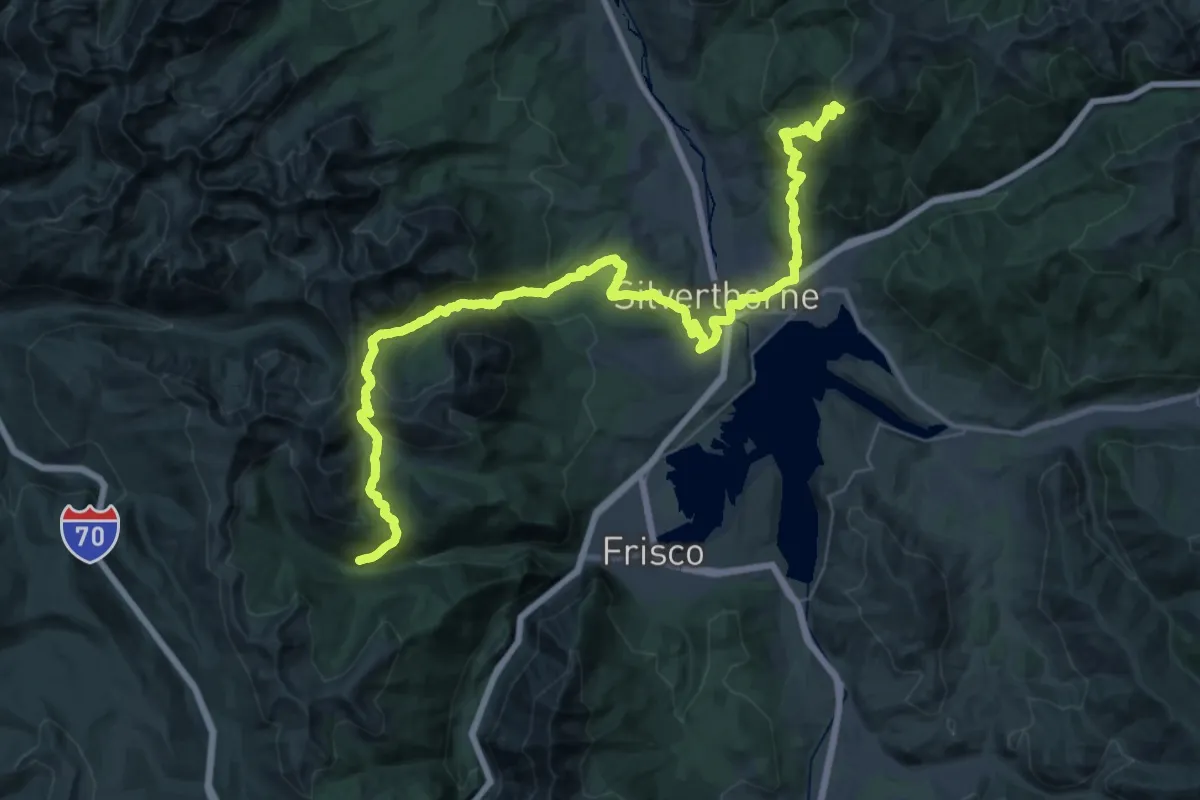
Demanding · Trail
CDT ilcST
28.4 km · ↑ 1443 m · 10 h 2 min
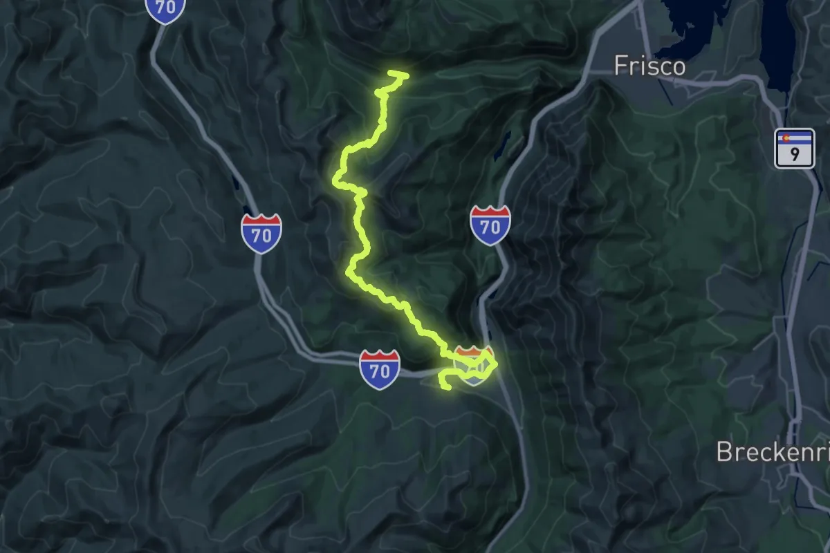
Demanding · Trail
CDT ilgST
17.5 km · ↑ 856 m · 6 h 10 min
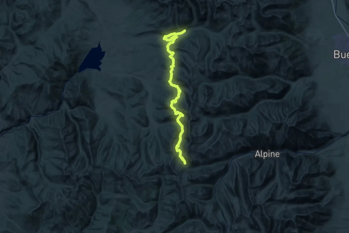
Expert · Summit
CDT in-xx Misc Old Route Alternates
67.7 km · ↑ 2215 m · 20 h 46 min
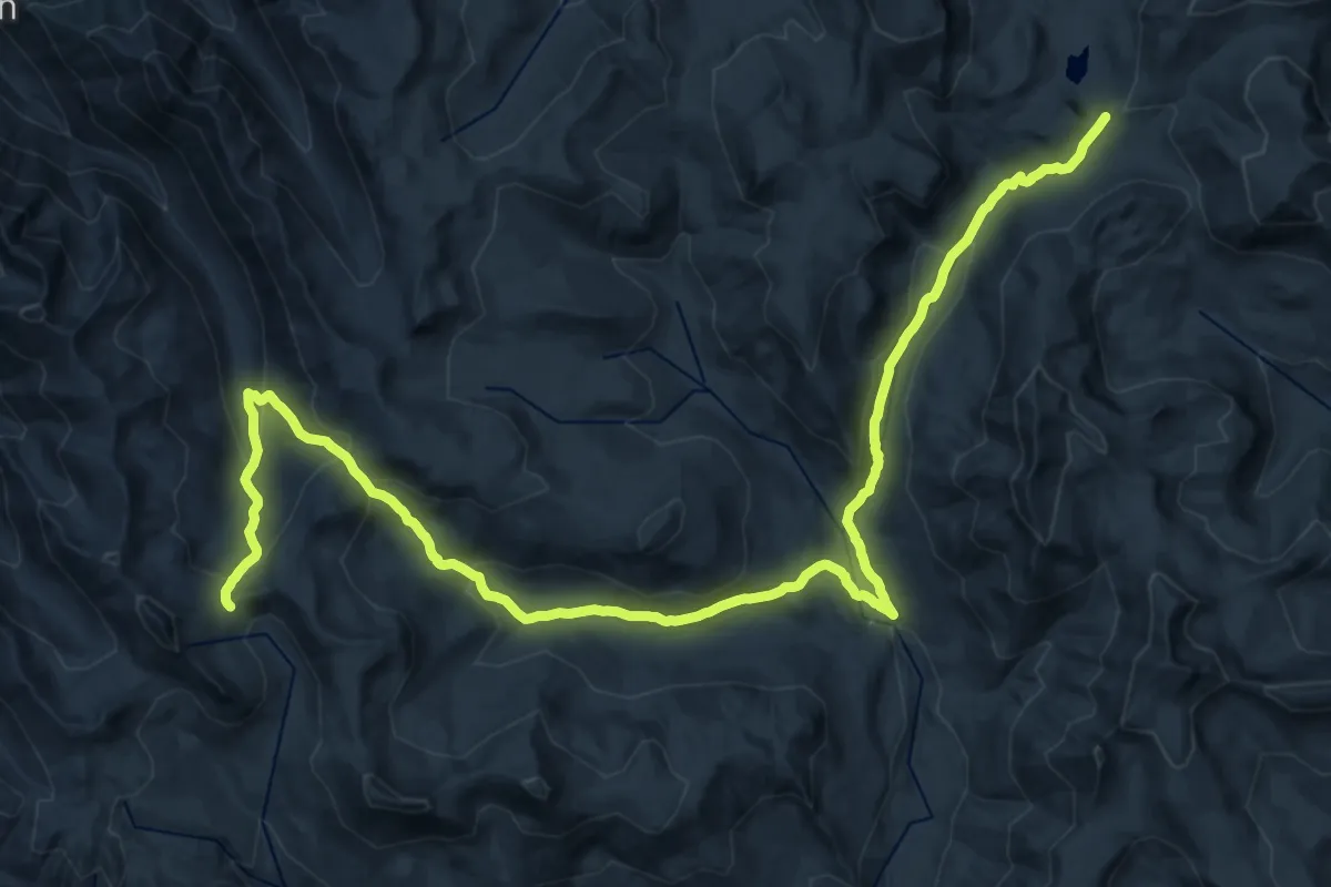
Medium · Trail
CDT ivfXX - Continental Divide NST - Old Route
16.8 km · ↑ 753 m · 5 h 47 min
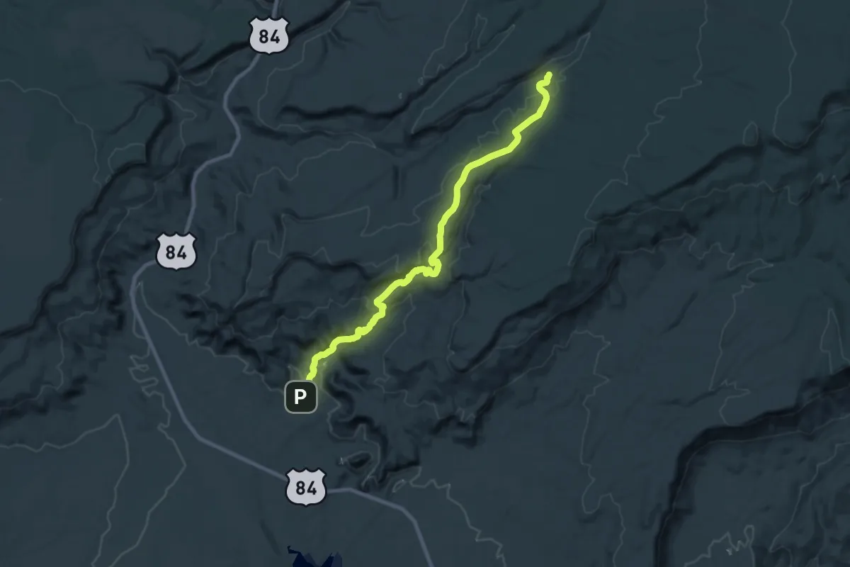
Demanding · Trail
CDT jefGH
26.7 km · ↑ 747 m · 7 h 56 min
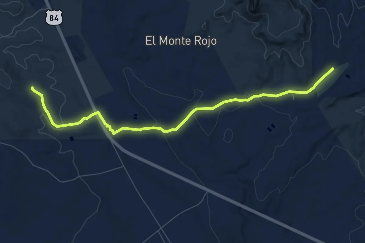
Medium · Trail
CDT jejGH
9.5 km · ↑ 143 m · 2 h 33 min
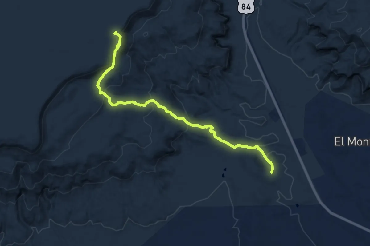
Medium · Trail
CDT jemGH
12.2 km · ↑ 443 m · 3 h 51 min
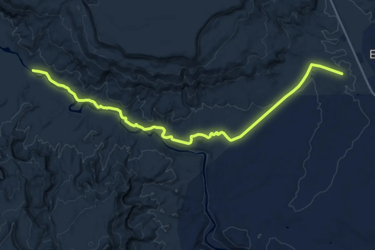
Demanding · Trail
CDT jeqGH Ghost Ranch Old route now alternate
25.1 km · ↑ 385 m · 6 h 46 min
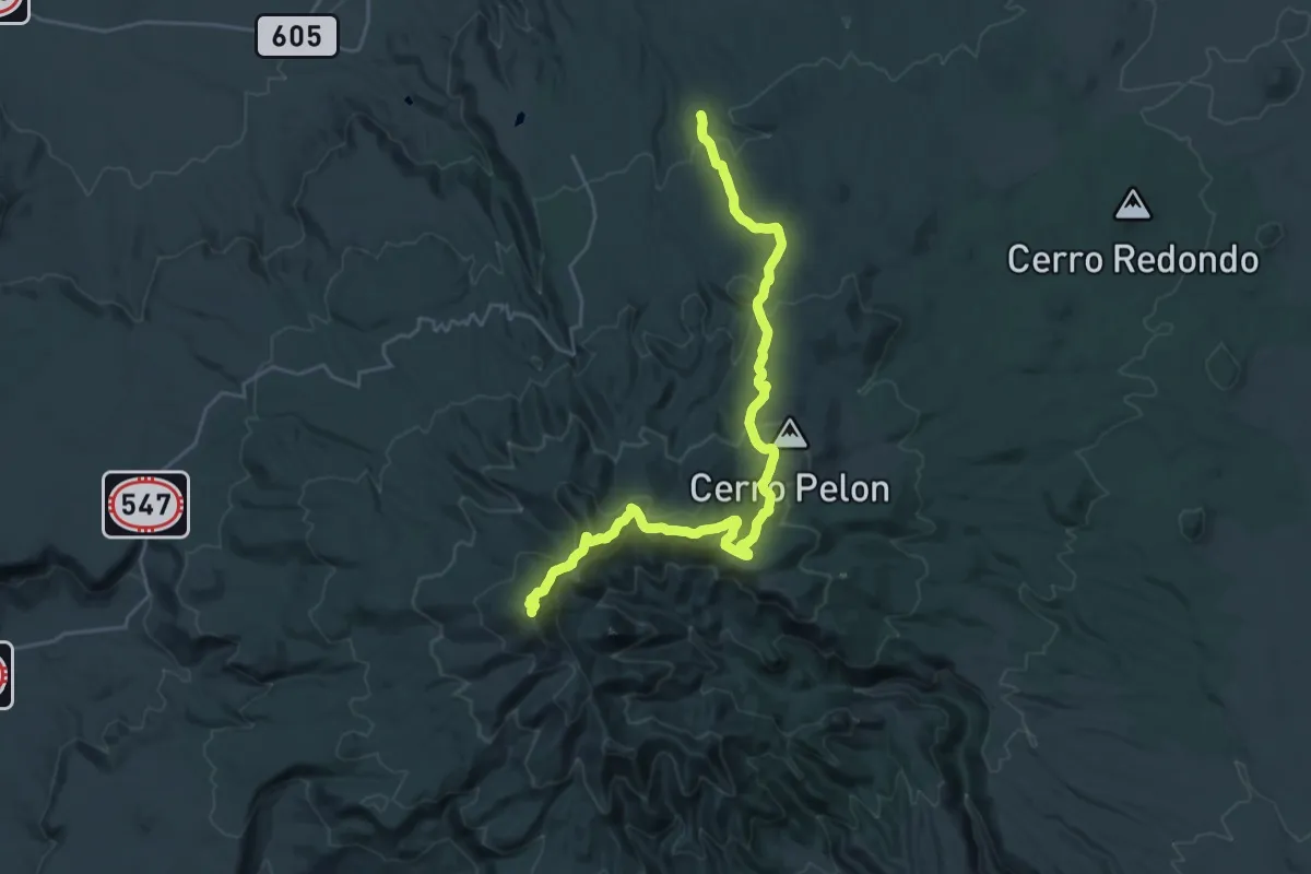
Demanding · Summit
CDT jhoMT
33.0 km · ↑ 1195 m · 10 h 23 min
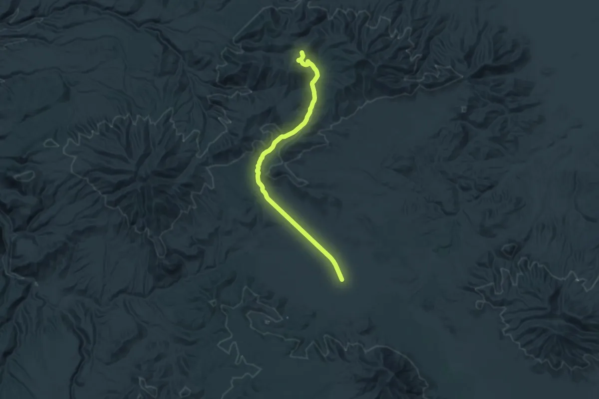
Demanding · Trail
CDT jmhGR
18.1 km · ↑ 489 m · 5 h 22 min
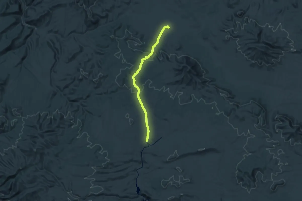
Demanding · Trail
CDT jmjGR
18.8 km · ↑ 204 m · 5 h 11 min
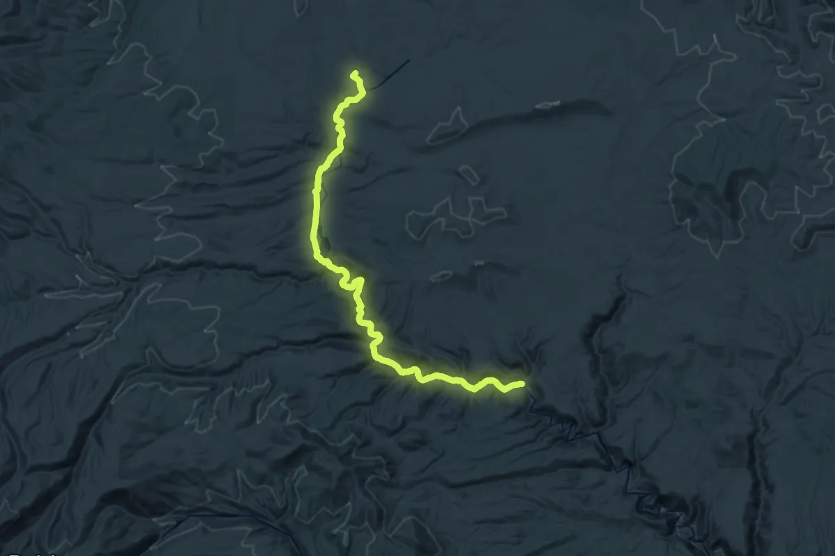
Demanding · Trail
CDT jmlGR
22.2 km · ↑ 85 m · 5 h 53 min
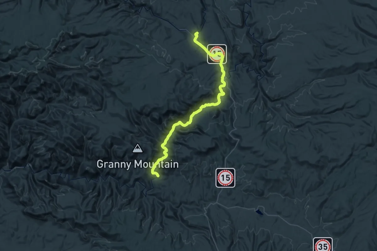
Demanding · Trail
CDT jofGR
28.4 km · ↑ 276 m · 7 h 46 min
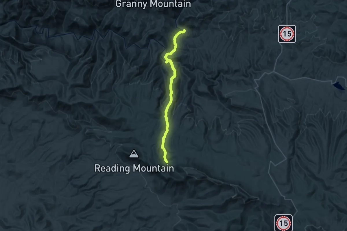
Medium · Trail
CDT joiGR
13.0 km · ↑ 140 m · 3 h 50 min
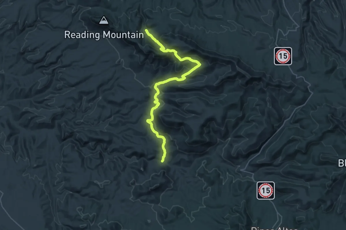
Medium · Trail
CDT jolGR
14.7 km · ↑ 744 m · 5 h 6 min
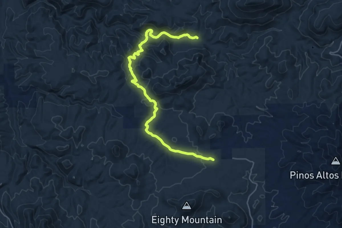
Demanding · Trail
CDT jooGR
21.1 km · ↑ 597 m · 6 h 17 min