Trails in United States
10,332 hiking trails, each with its route, climb, walking time and grade.
All trails, page 44 of 216
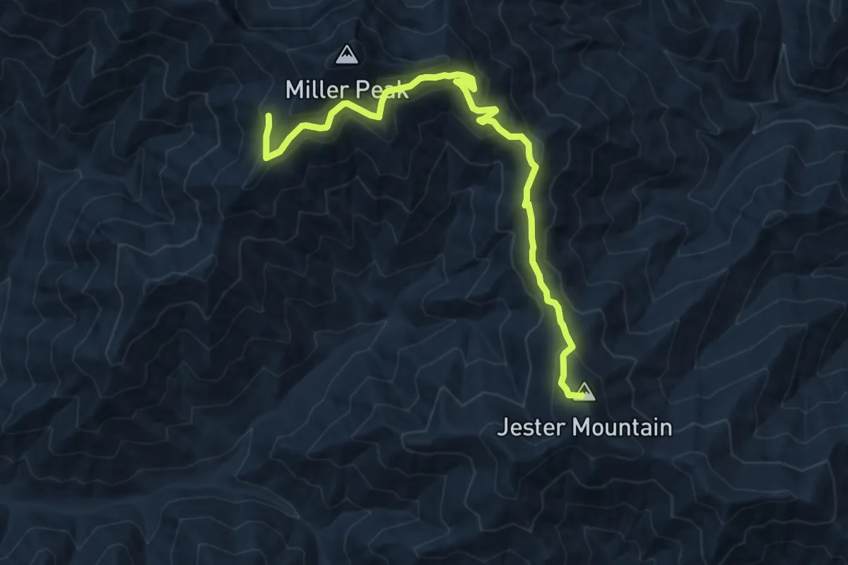
Medium · Summit
County Line Trail
10.9 km · ↑ 566 m · 3 h 48 min
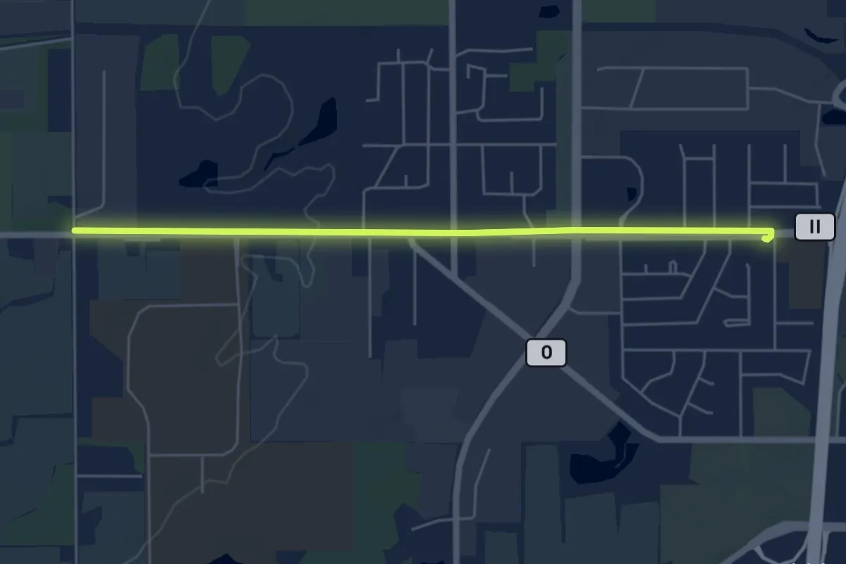
Easy · Trail
County Road II Trail
5.5 km · ↑ 17 m · 1 h 21 min
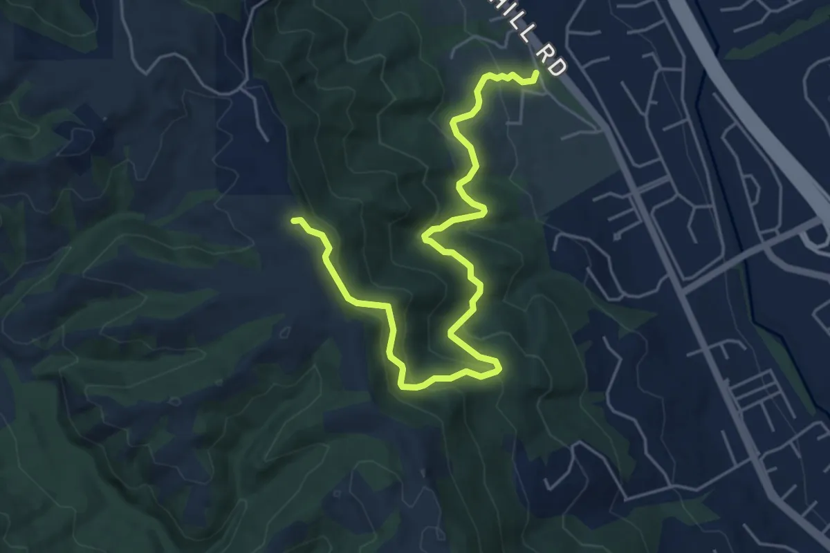
Medium · Trail
Courdet Trail
6.4 km · ↑ 345 m · 2 h 15 min
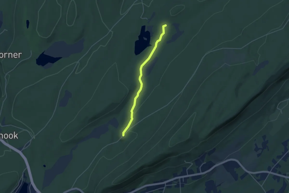
Easy · Trail
Coursen Trail
3.9 km · ↑ 41 m · 1 h 1 min
Easy · Trail
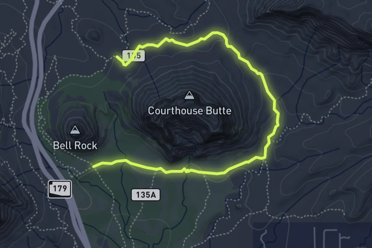
Courthouse Butte Loop #135
7.5 km · ↑ 110 m · 2 h
Easy · Trail
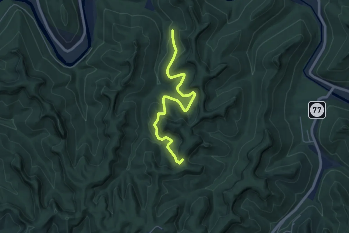
Courthouse Rock Trail #202
5.4 km · ↑ 190 m · 1 h 41 min
Easy · Trail
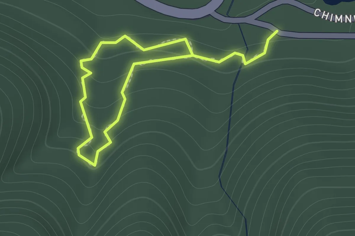
Cove Hardwood Nature Trail
1.0 km · ↑ 74 m · 25 min
Medium · Trail
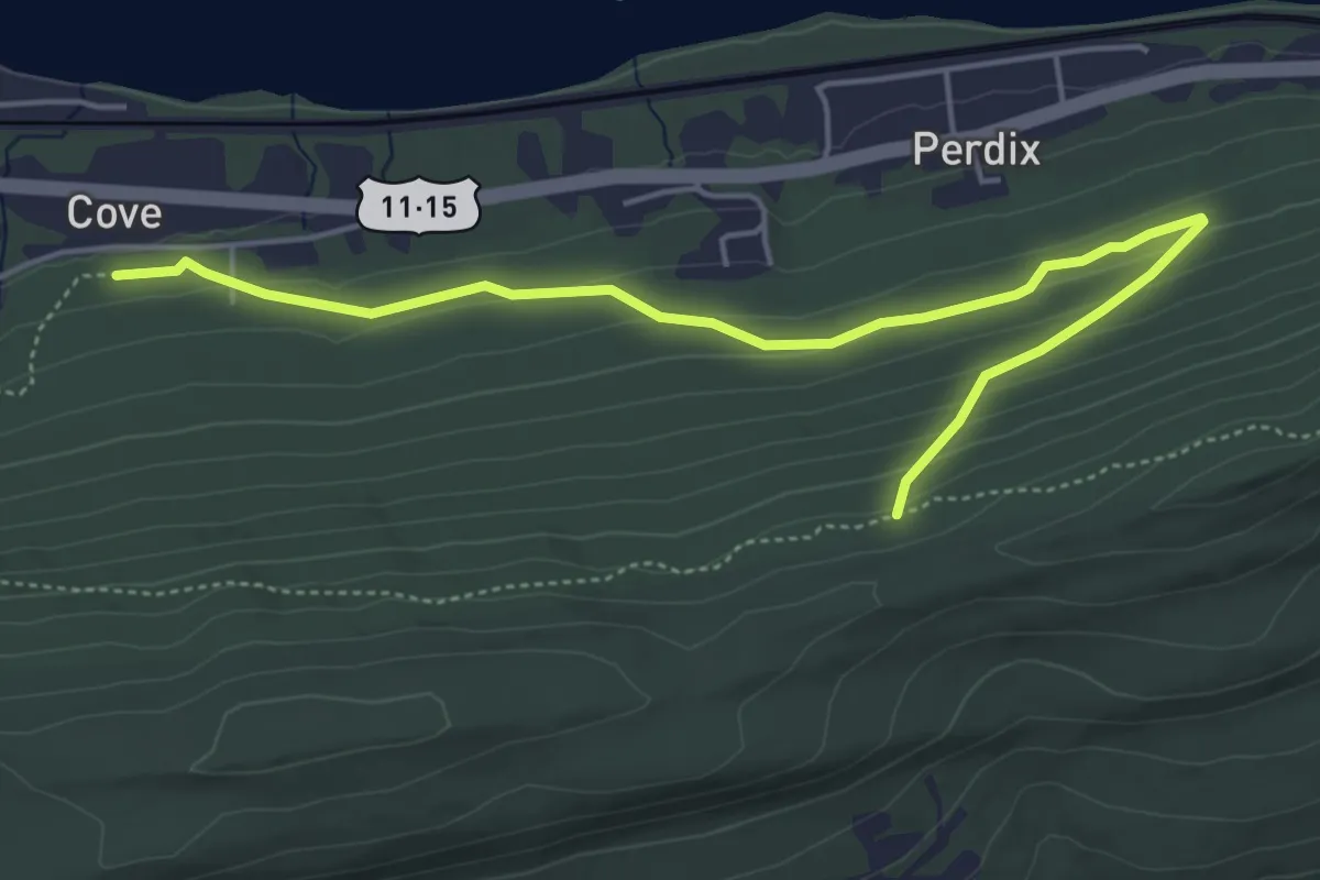
Cove Mountain Preserve
6.1 km · ↑ 215 m · 1 h 55 min
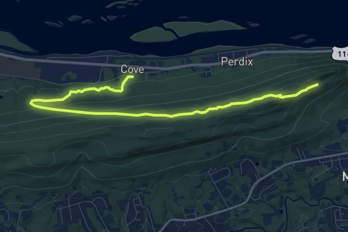
Medium · Trail
Cove Mountain Preserve
13.4 km · ↑ 388 m · 4 h
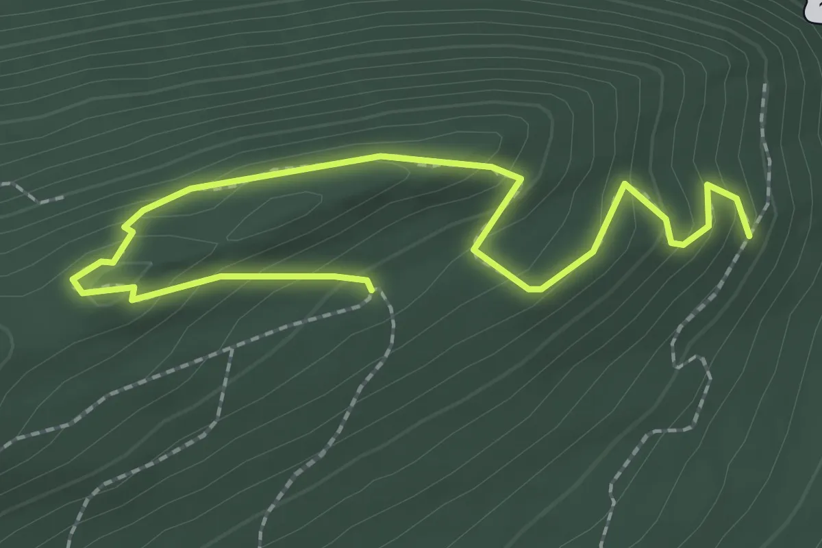
Medium · Trail
Cove Mountain Preserve
3.1 km · ↑ 207 m · 1 h 11 min
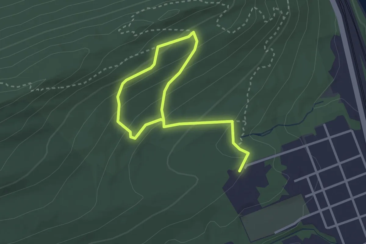
Medium · Trail
Cove Mountain Preserve
4.0 km · ↑ 226 m · 1 h 26 min
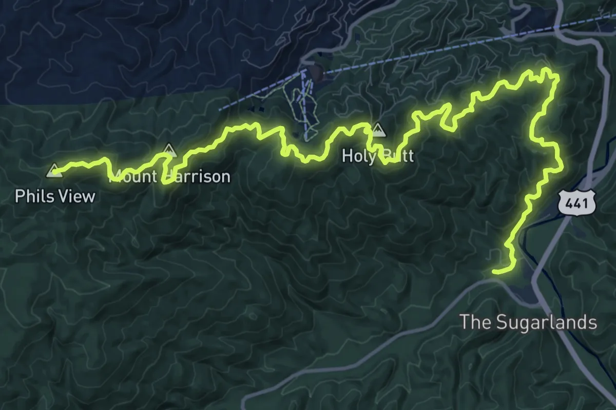
Demanding · Summit
Cove Mountain Trail
21.3 km · ↑ 862 m · 6 h 54 min
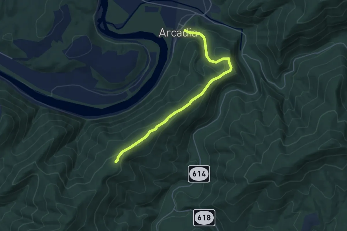
Easy · Trail
Cove Mountain Trail
5.3 km · ↑ 280 m · 1 h 51 min
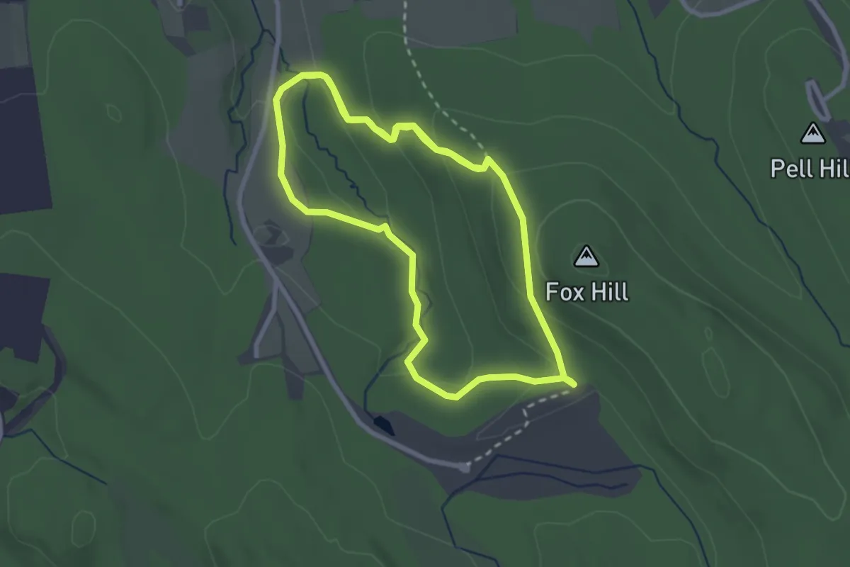
Easy · Trail
Covered Bridge
6.0 km · ↑ 243 m · 1 h 57 min
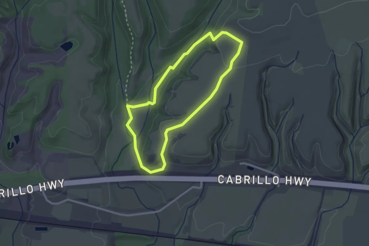
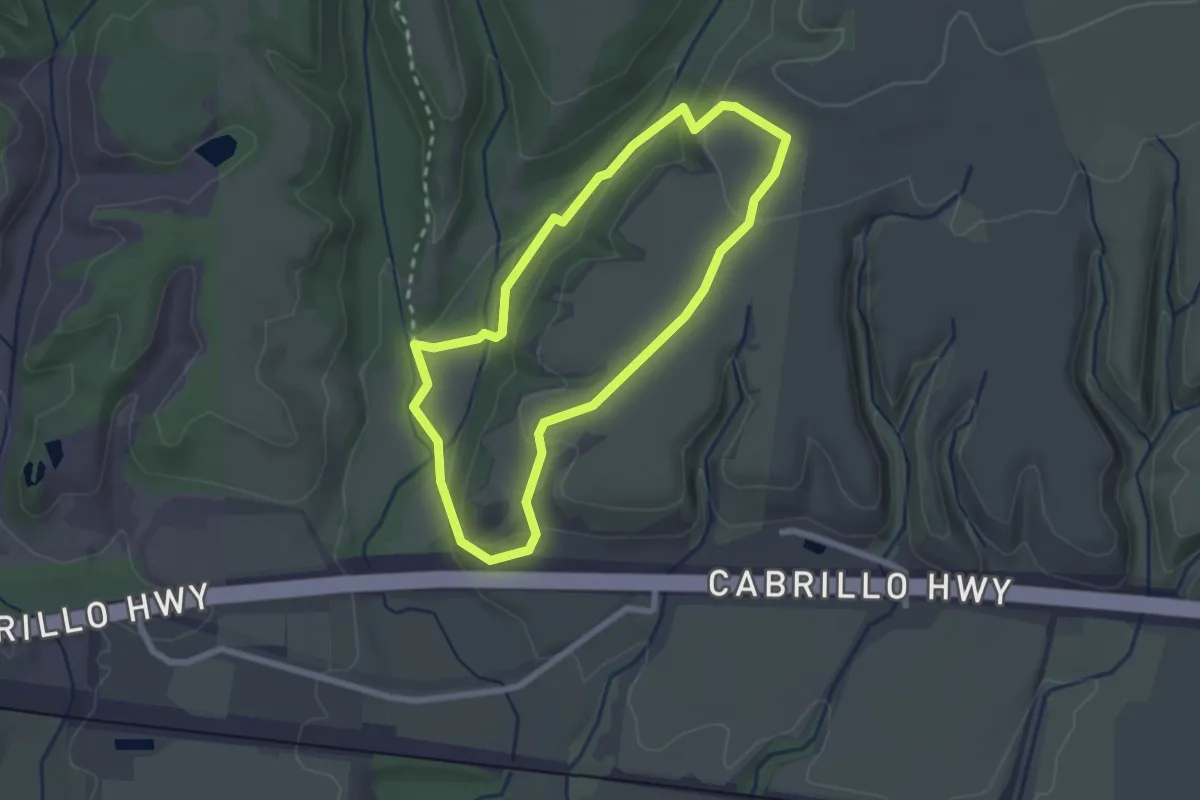
Easy · Trail
Cowboy Loop
2.5 km · ↑ 82 m · 48 min
Easy · Trail
Cowboy Loop
2.5 km · ↑ 82 m · 48 min
Easy · Trail
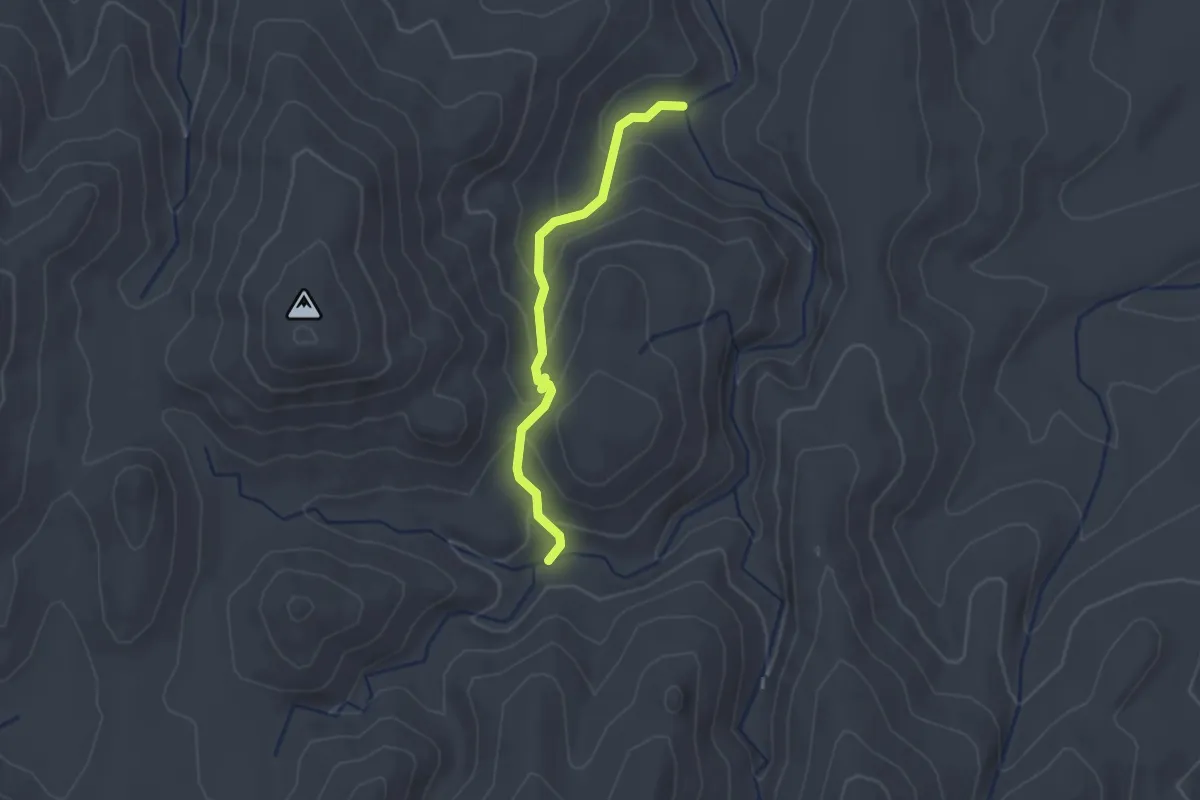
Cowboy Trail
2.2 km · ↑ 138 m · 49 min
Easy · Summit
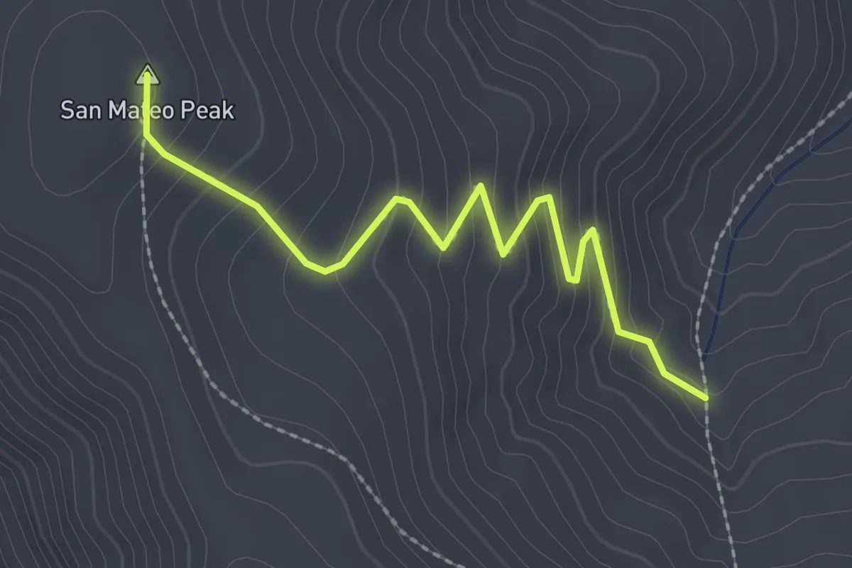
Cowboy Trail
2.9 km · ↑ 206 m · 1 h 7 min
Demanding · Trail
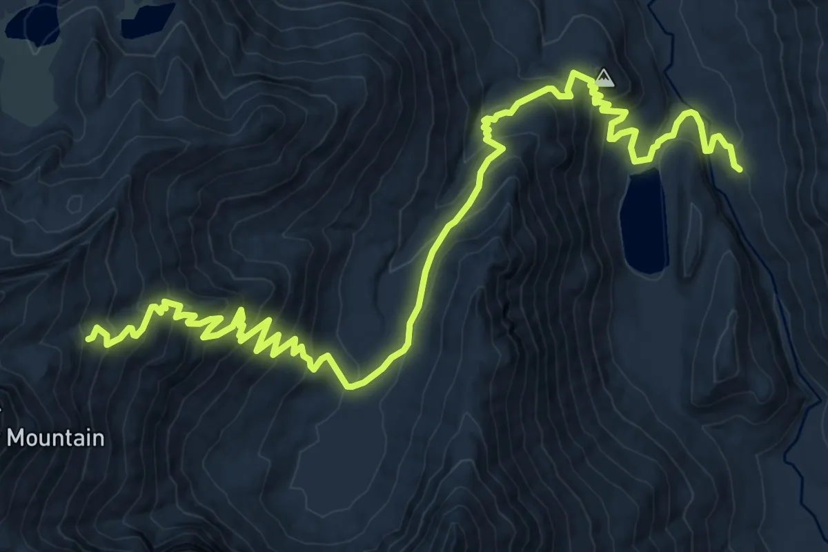
Cow Creek Trail
12.7 km · ↑ 969 m · 5 h 5 min
Medium · Trail
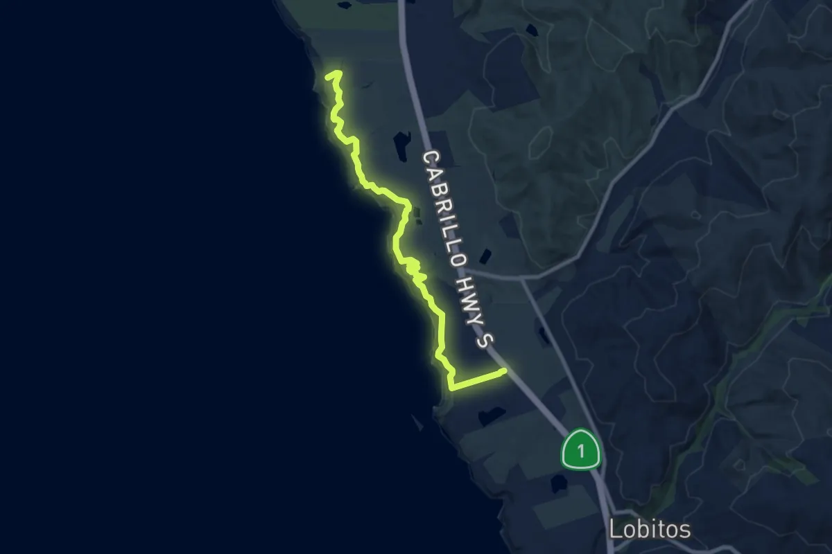
Cowell-Purisima Trail
9.7 km · ↑ 122 m · 2 h 33 min
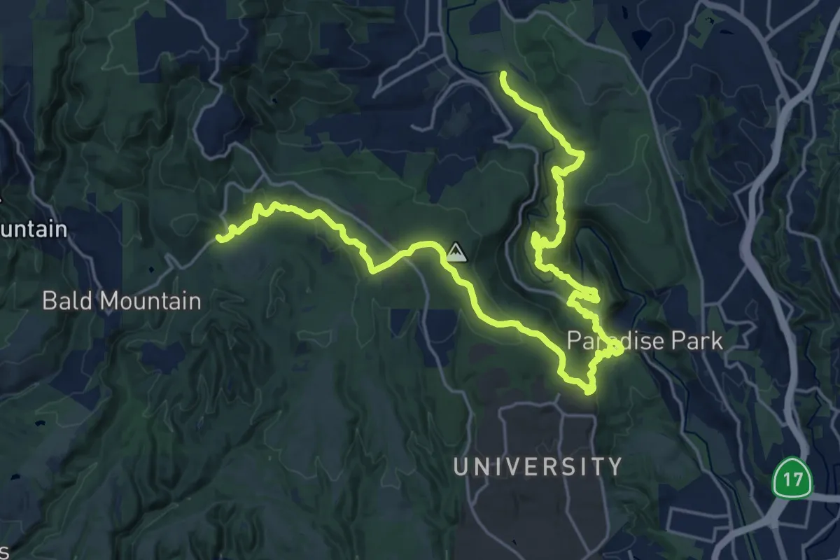
Medium · Trail
Cowell-Wilder Regional Trail
15.2 km · ↑ 685 m · 5 h 12 min
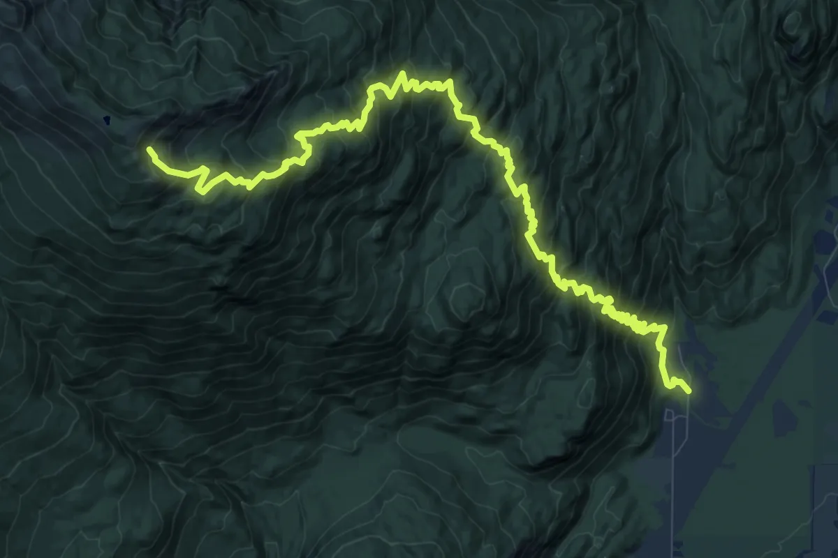
Demanding · Trail
Cow Heaven Trail
13.9 km · ↑ 1339 m · 6 h 11 min
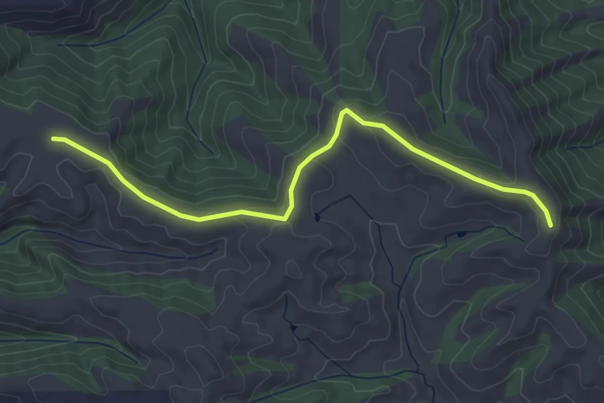
Easy · Trail
Cowing Trail
4.7 km · ↑ 120 m · 1 h 23 min
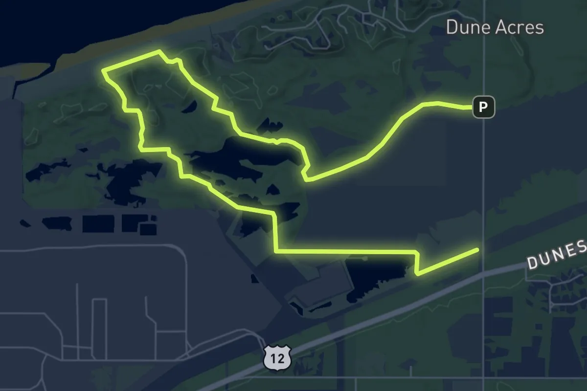
Easy · Trail
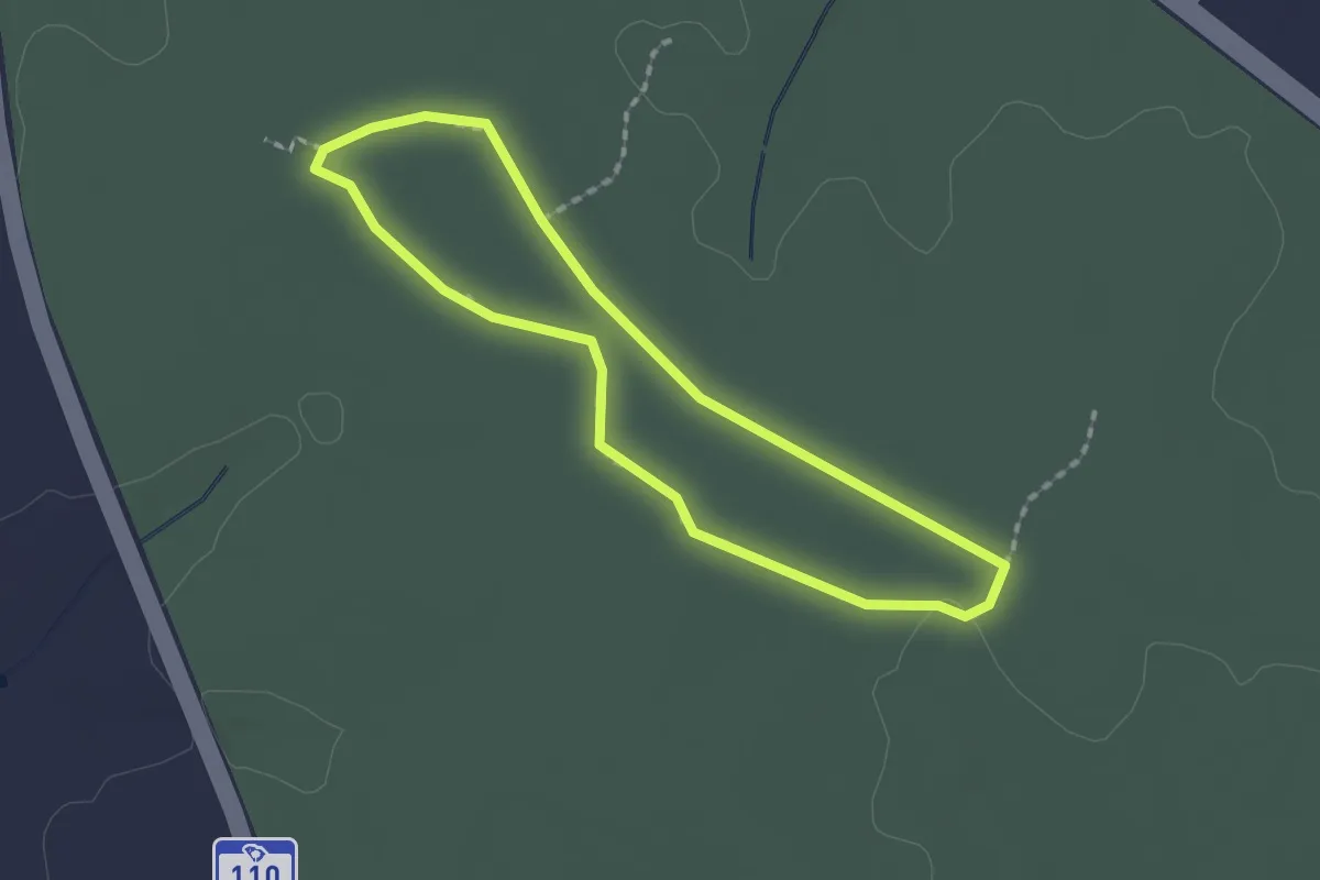
Cowles Bog Trail
6.4 km · ↑ 70 m · 1 h 45 min
Easy · Trail
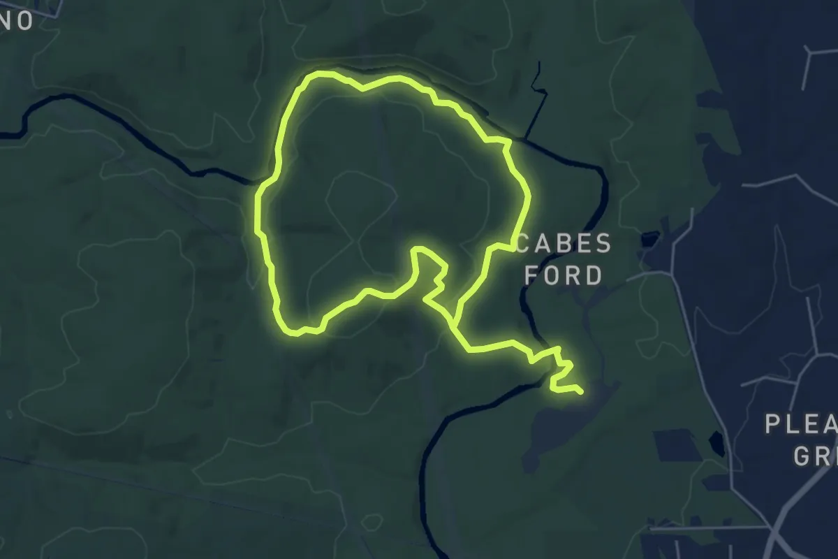
Cowpens Battlefield Trail
1.9 km · ↑ 4 m · 29 min
Medium · Trail
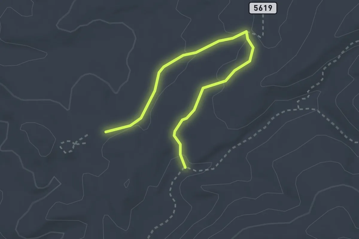
Cox Mountain Trail
11.3 km · ↑ 225 m · 3 h 9 min
Easy · Trail
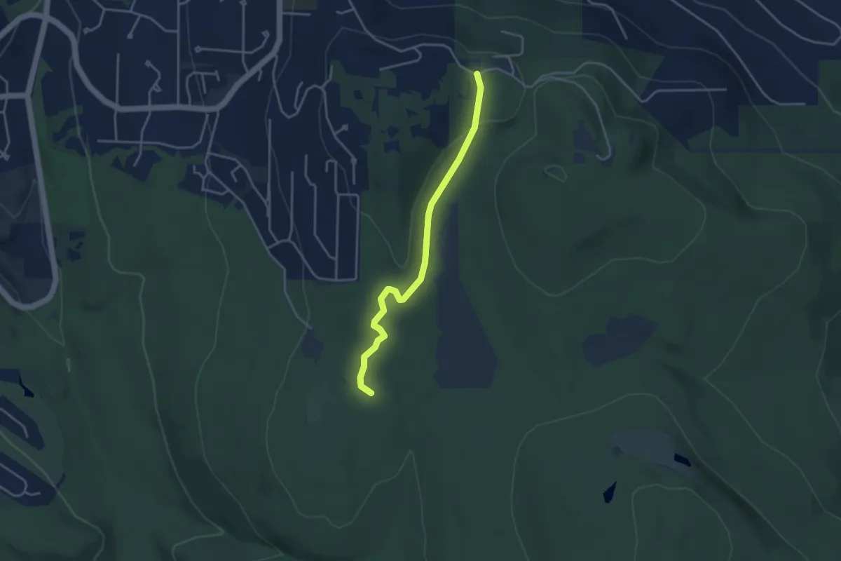
Coyote-Chamisoso Link
3.5 km · ↑ 61 m · 58 min
Easy · Trail
Coyote Creek Trail
3.5 km · ↑ 56 m · 56 min
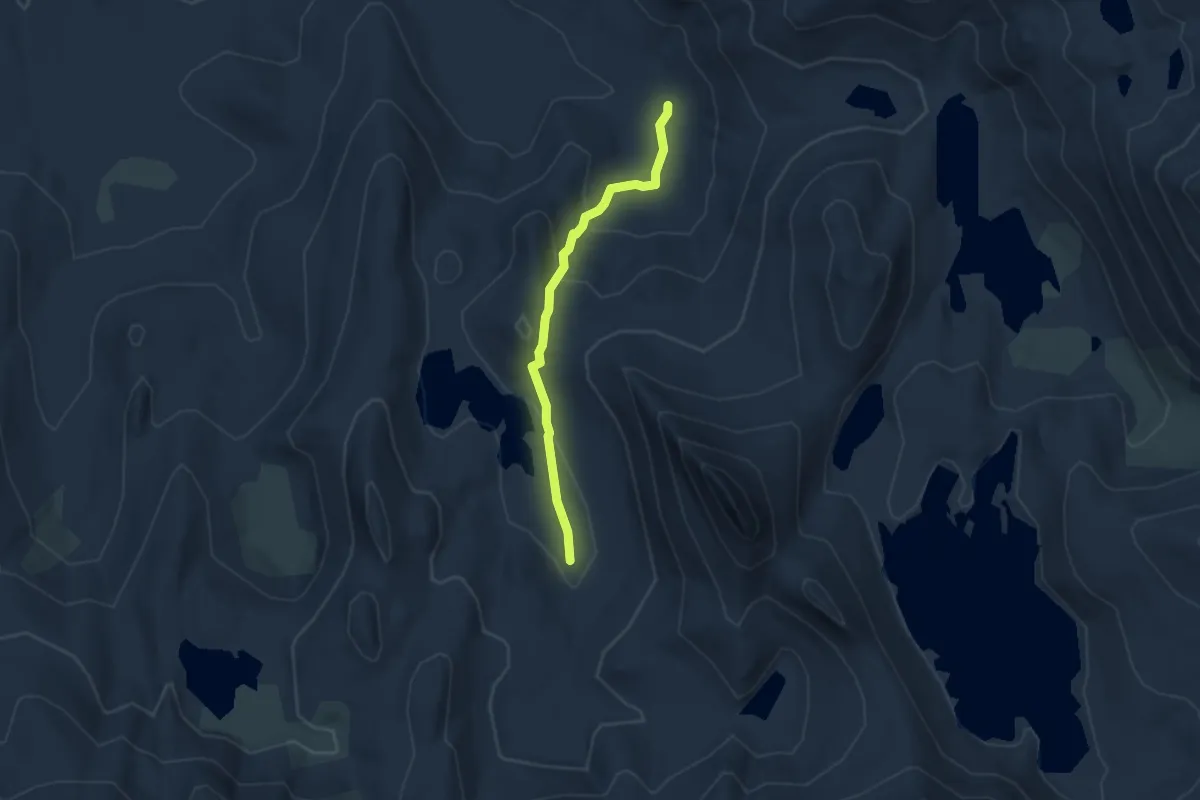
Easy · Trail
Coyote Cutoff
3.3 km · ↑ 171 m · 1 h 10 min
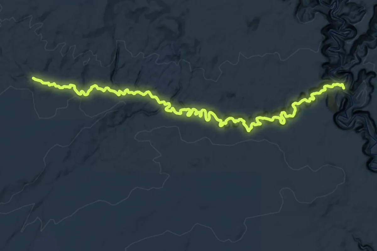
Demanding · Trail
Coyote Gulch
19.8 km · ↑ 1091 m · 7 h 24 min
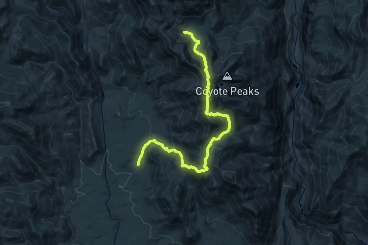
Medium · Trail
Coyote Lakes Trail
16.8 km · ↑ 693 m · 6 h 7 min
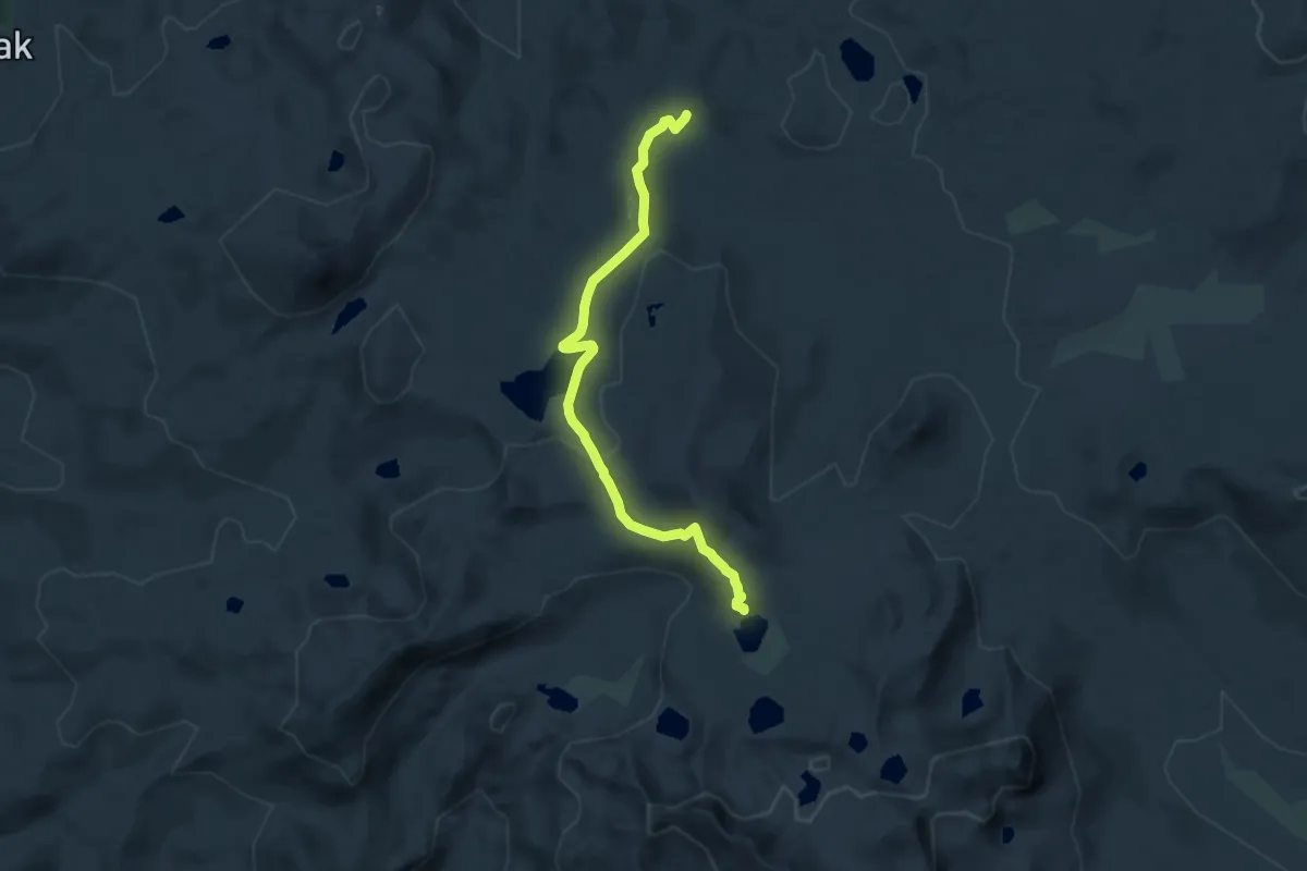
Medium · Trail
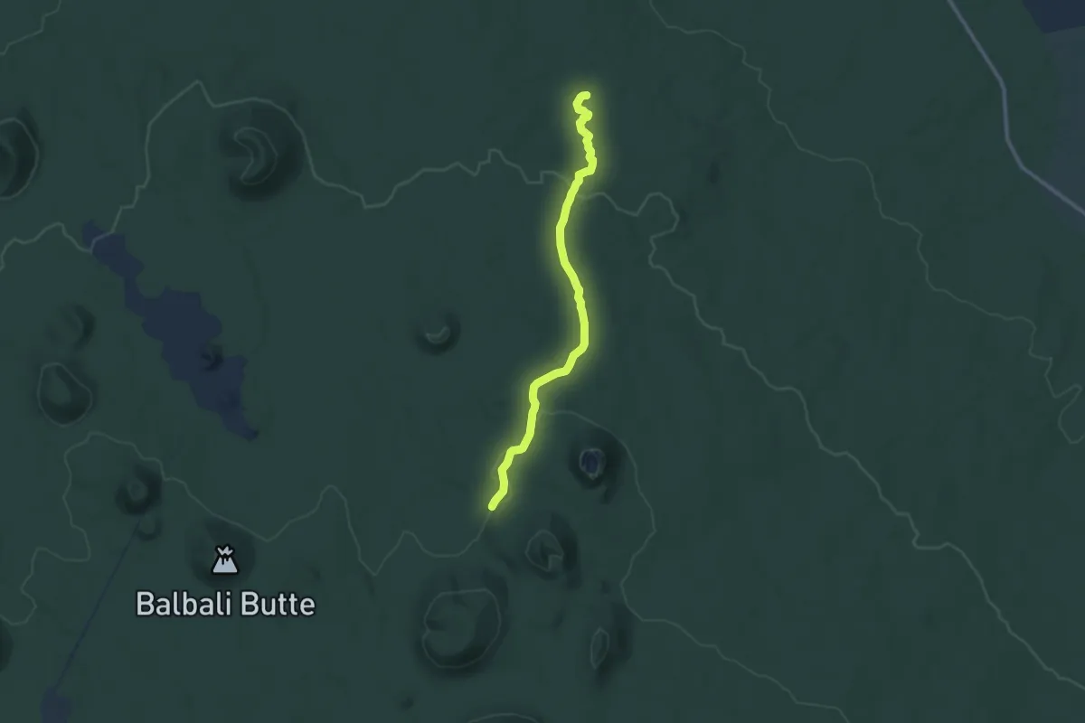
Coyote Lake Trail
13.6 km · ↑ 416 m · 4 h 6 min
Medium · Trail
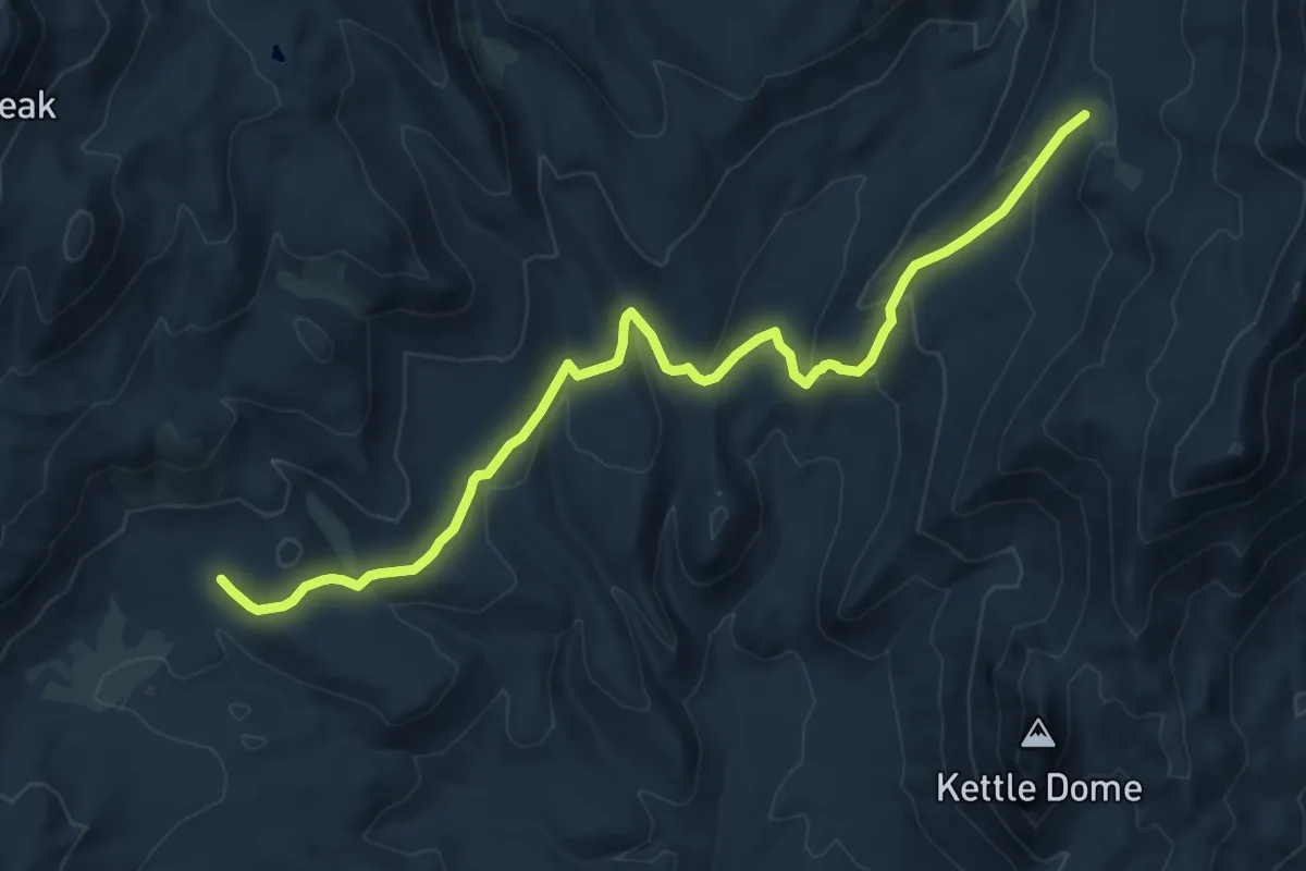
Coyote Loop Tech
9.8 km · ↑ 146 m · 2 h 38 min
Medium · Trail
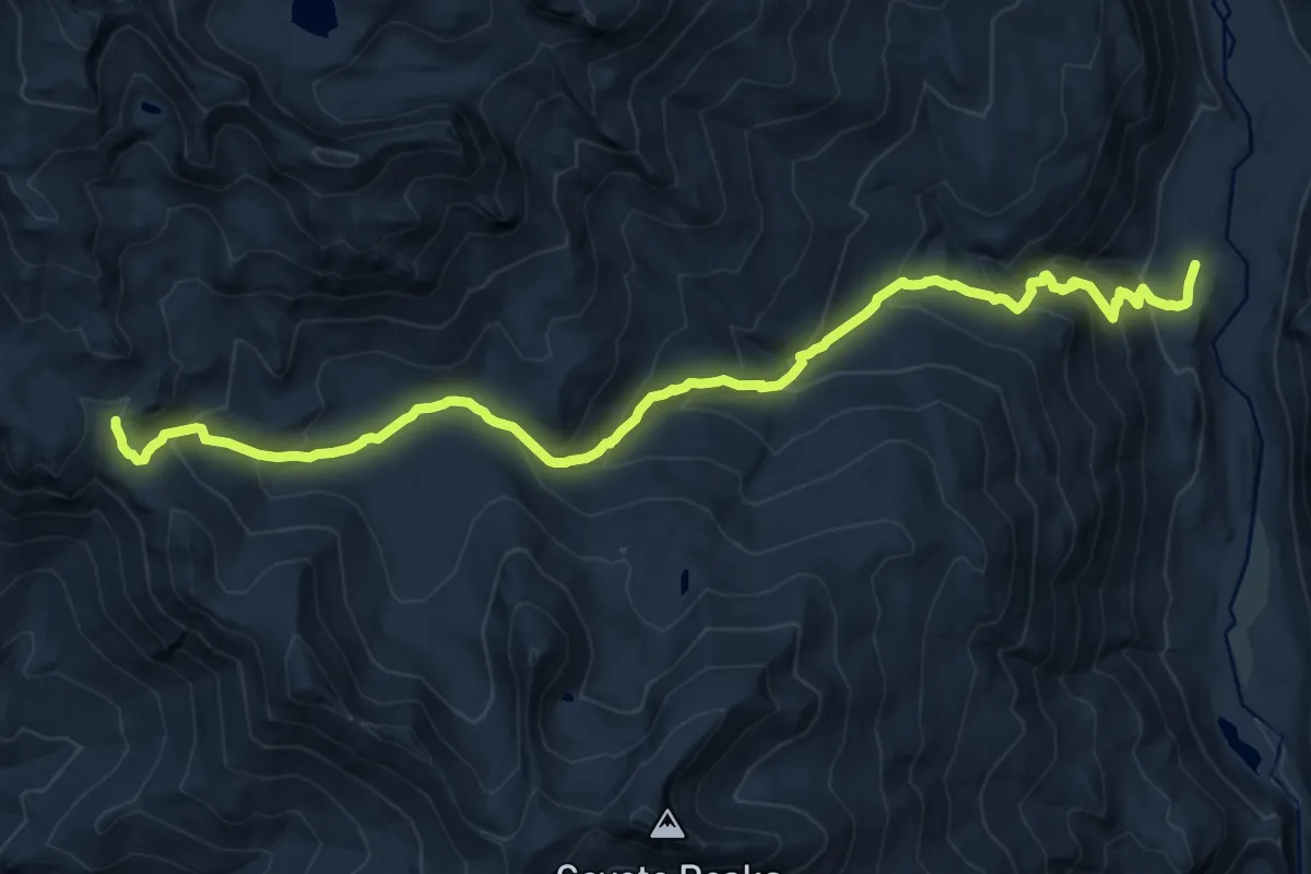
Coyote Pass Trail
16.8 km · ↑ 692 m · 5 h 28 min
Demanding · Trail
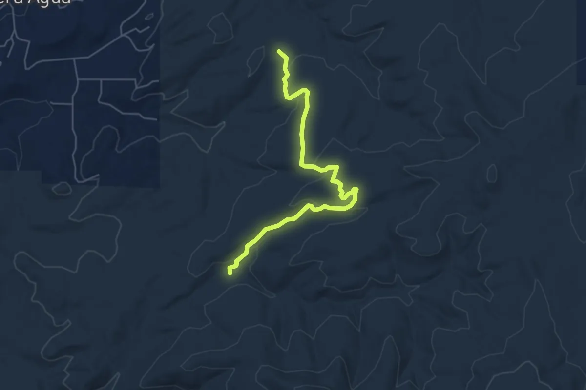
Coyote Pass Trail
17.8 km · ↑ 1139 m · 6 h 40 min
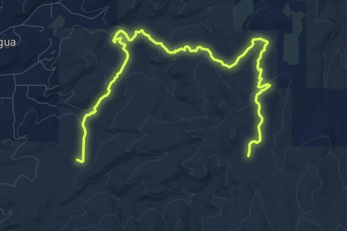
Medium · Trail
Coyote Split Trail
6.1 km · ↑ 157 m · 1 h 46 min
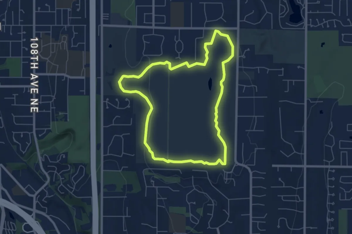
Medium · Trail
Coyote Trail
14.8 km · ↑ 343 m · 4 h 15 min
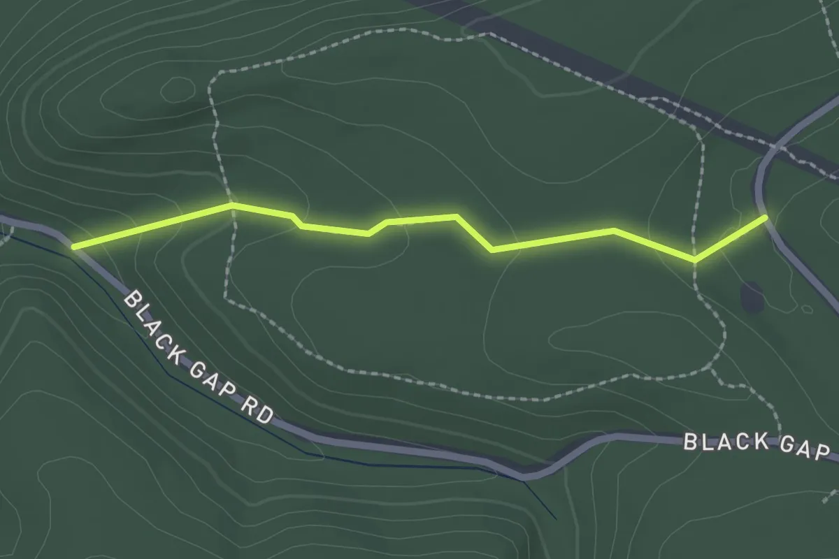
Easy · Trail
Coyote Trail
5.6 km · ↑ 54 m · 1 h 32 min
Easy · Trail
Crabapple Path
2.1 km · ↑ 77 m · 40 min
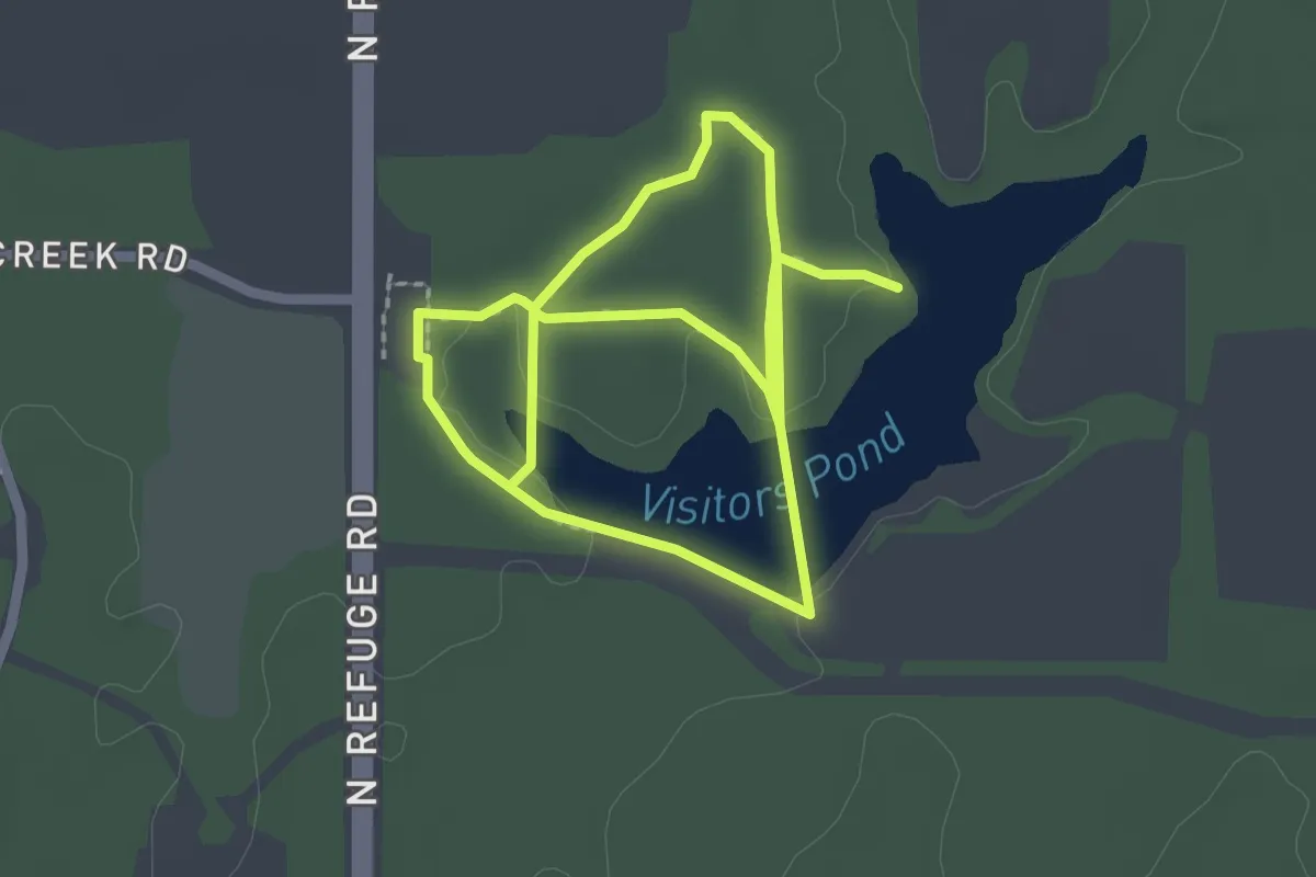
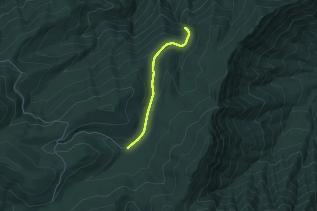
Easy · Trail
Crab Orchard Visitor Center Pond and Woodland Nature Trail
4.6 km · ↑ 17 m · 1 h 8 min
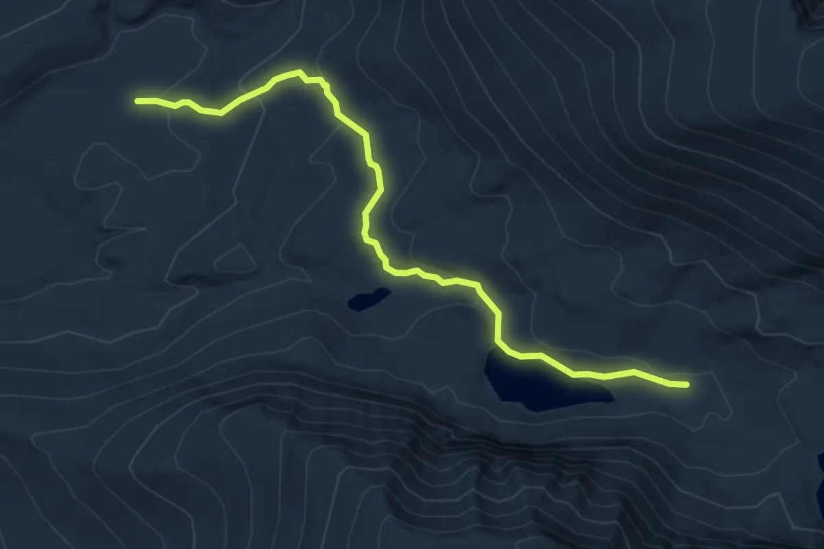
Easy · Trail
Crabtree Falls Trail
3.8 km · ↑ 145 m · 1 h 12 min
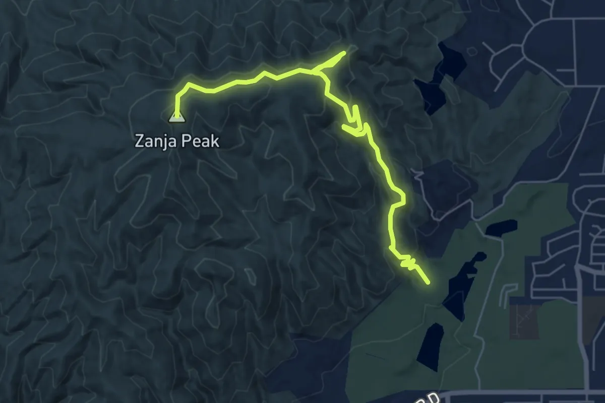
Easy · Trail
Crabtree Lakes Trail
6.6 km · ↑ 236 m · 2 h 4 min
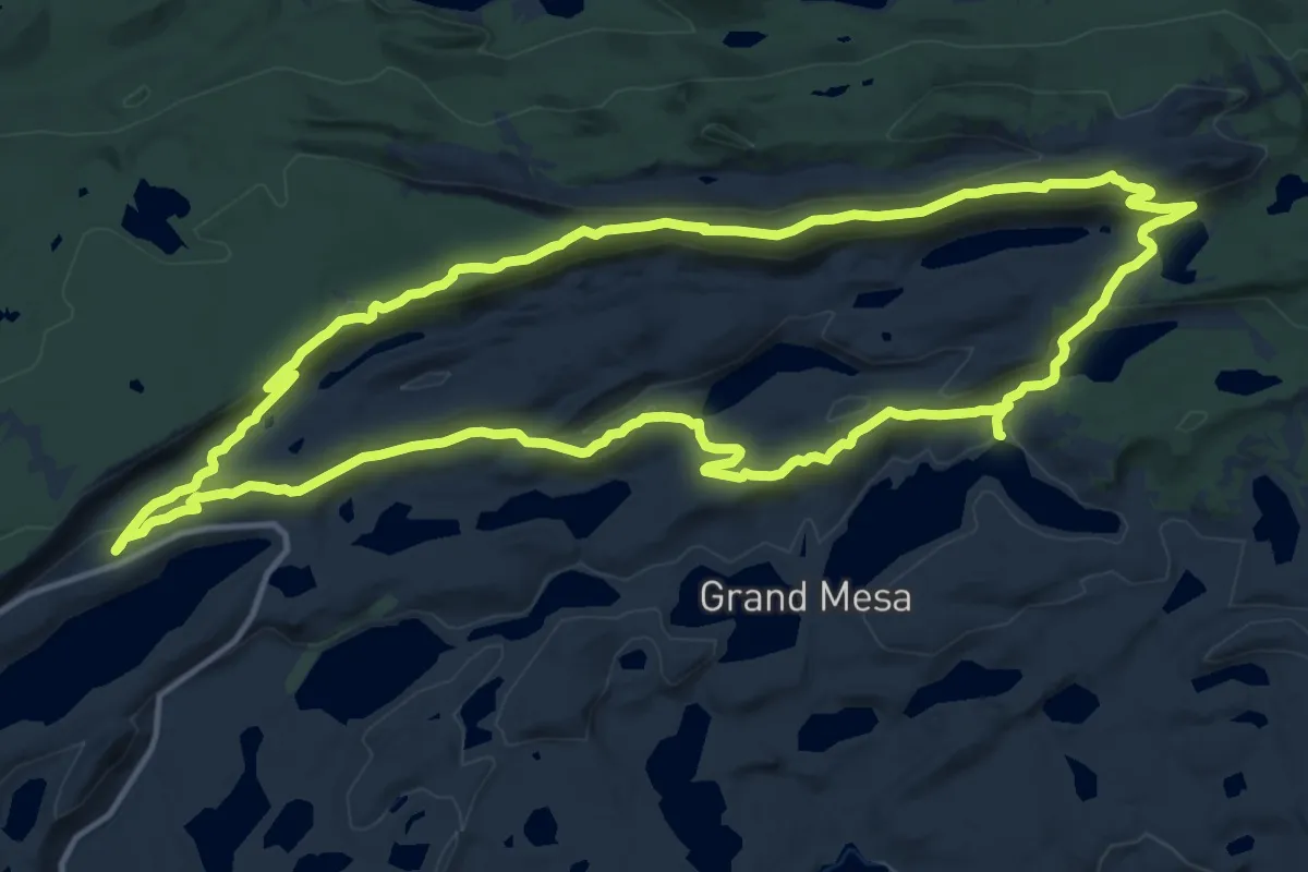
Medium · Summit
Crafton Hill Trails
7.4 km · ↑ 337 m · 2 h 29 min
Medium · Trail
Crag Crest National Recreation Trail
16.8 km · ↑ 503 m · 5 h 16 min
Easy · Trail
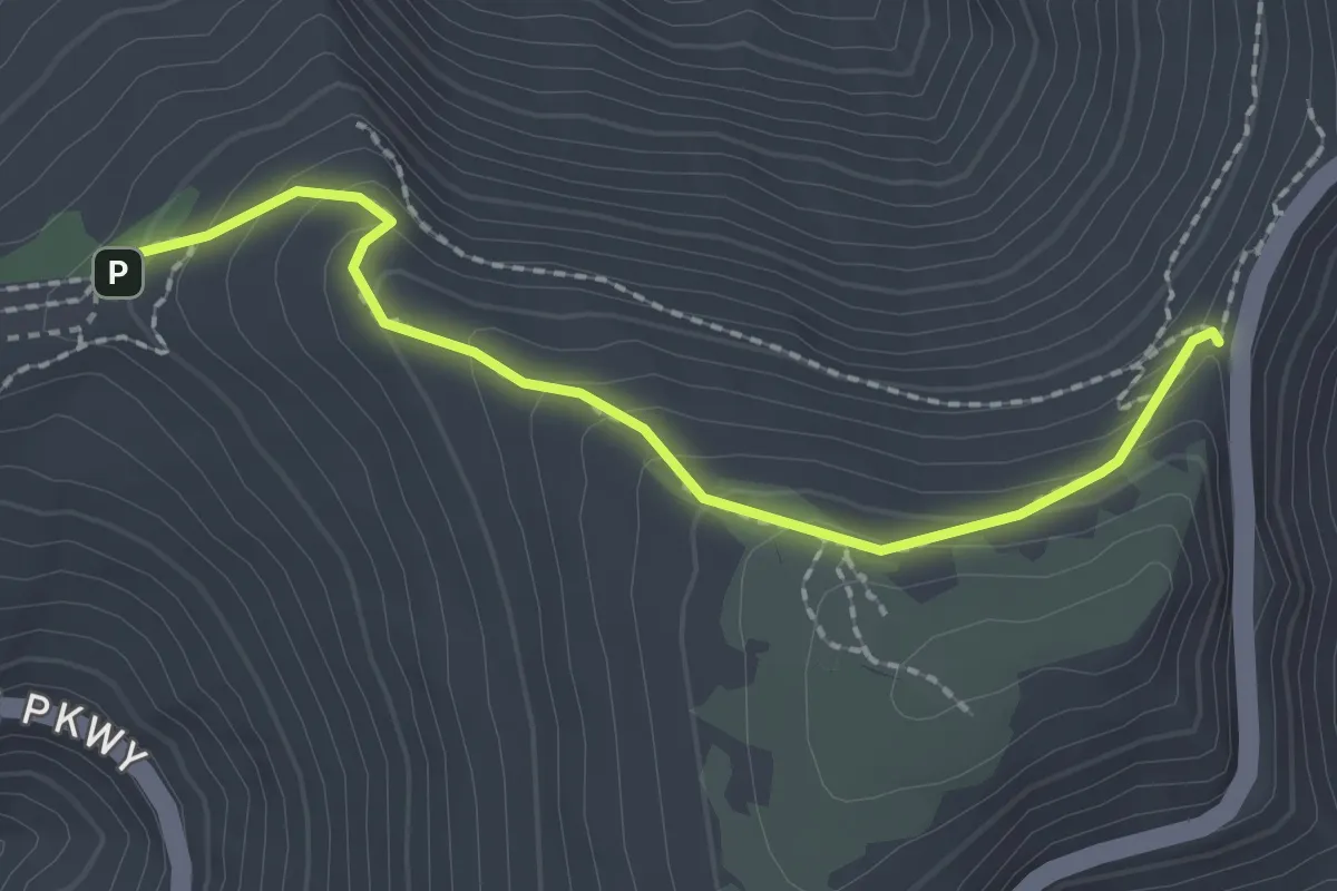
Craggy Gardens Trail
2.5 km · ↑ 158 m · 56 min
Medium · Summit
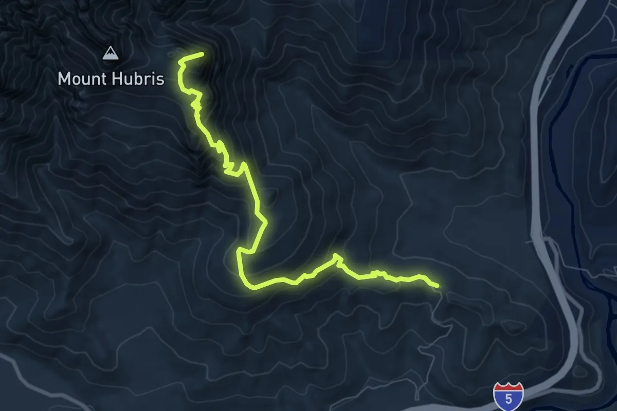
Crags Trail
8.9 km · ↑ 710 m · 3 h 39 min
Demanding · Trail
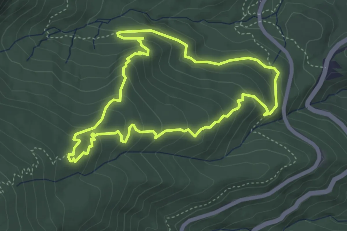
Cragway Loop
4.5 km · ↑ 273 m · 1 h 43 min
Demanding · Trail
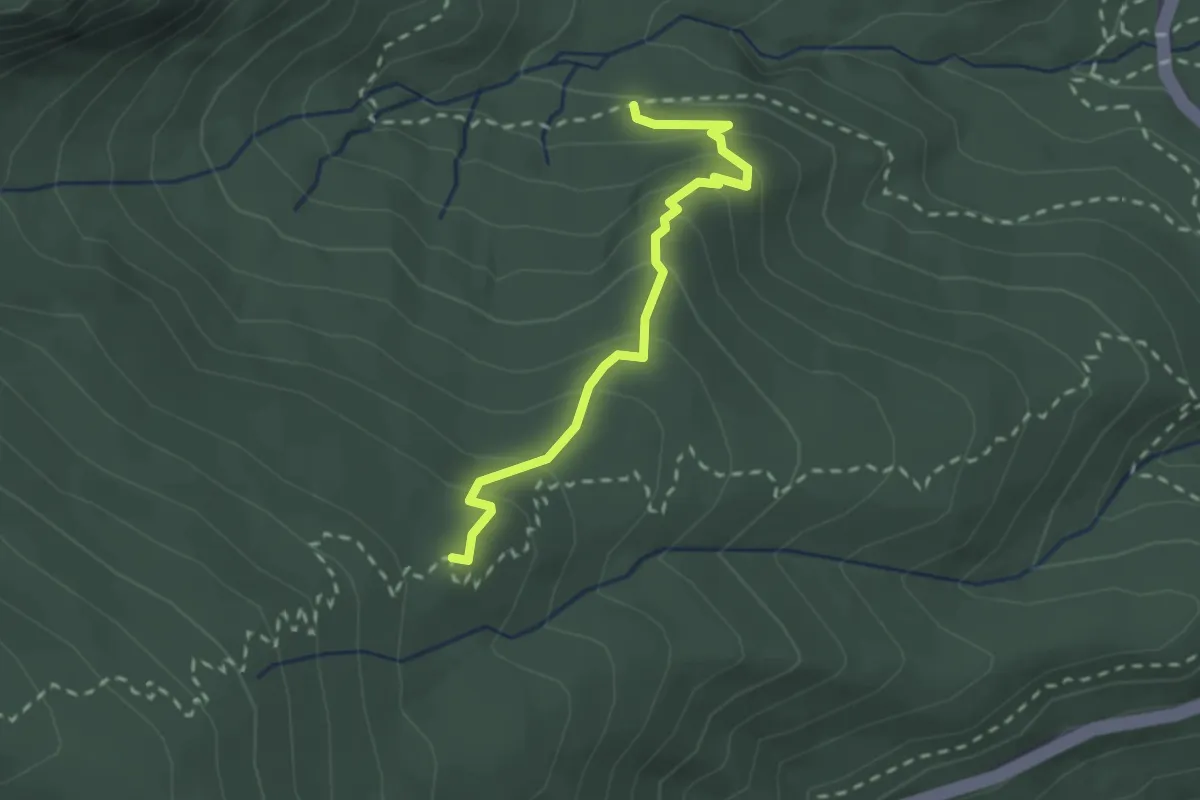
Cragway Trail
2.6 km · ↑ 203 m · 1 h 3 min