Trails in United States
10,332 hiking trails, each with its route, climb, walking time and grade.
All trails, page 45 of 216
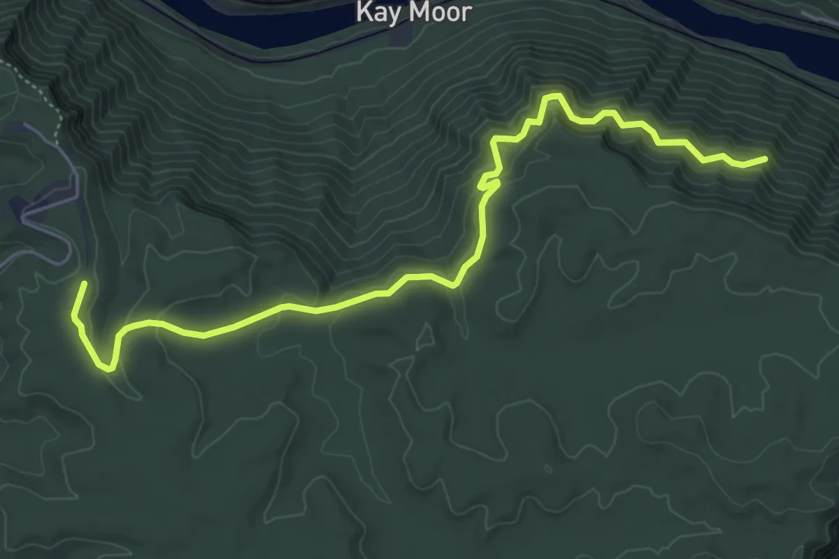
Easy · Trail
Craig Branch Trail
6.9 km · ↑ 231 m · 2 h 8 min
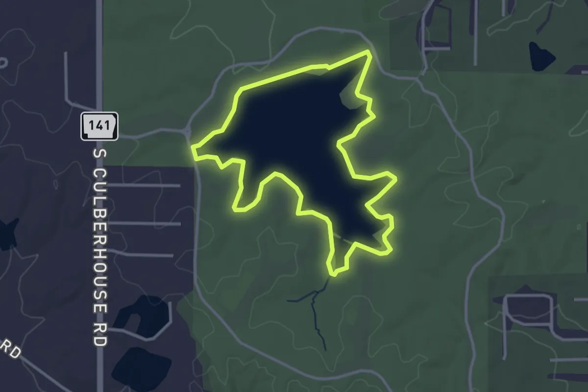
Easy · Trail
Craighead Forest Lake Loop
3.7 km · ↑ 0 m · 56 min
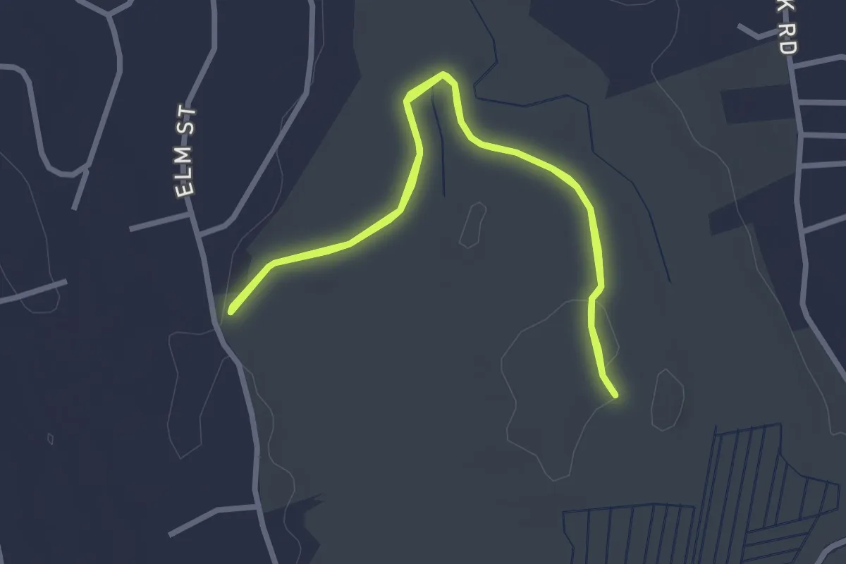
Easy · Trail
Cranberry Bog - Pennensula Trail
2.8 km · ↑ 0 m · 42 min
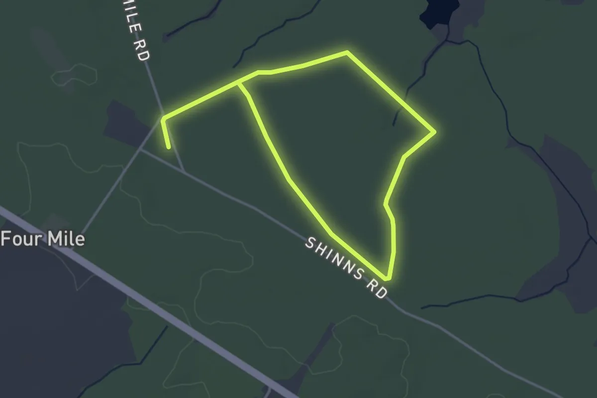
Easy · Trail
Cranberry Dot Trail (red/white)
6.4 km · ↑ 0 m · 1 h 31 min
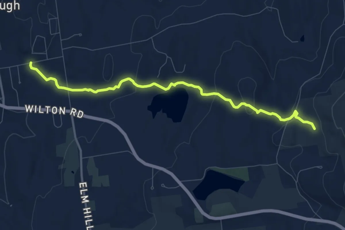
Medium · Trail
Cranberry Meadow Pond Trail
9.5 km · ↑ 287 m · 2 h 51 min
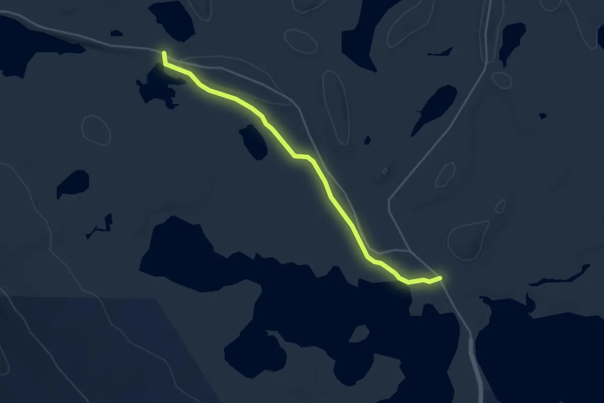
Easy · Trail
Cranberry Pond Trail
4.3 km · ↑ 21 m · 1 h 4 min
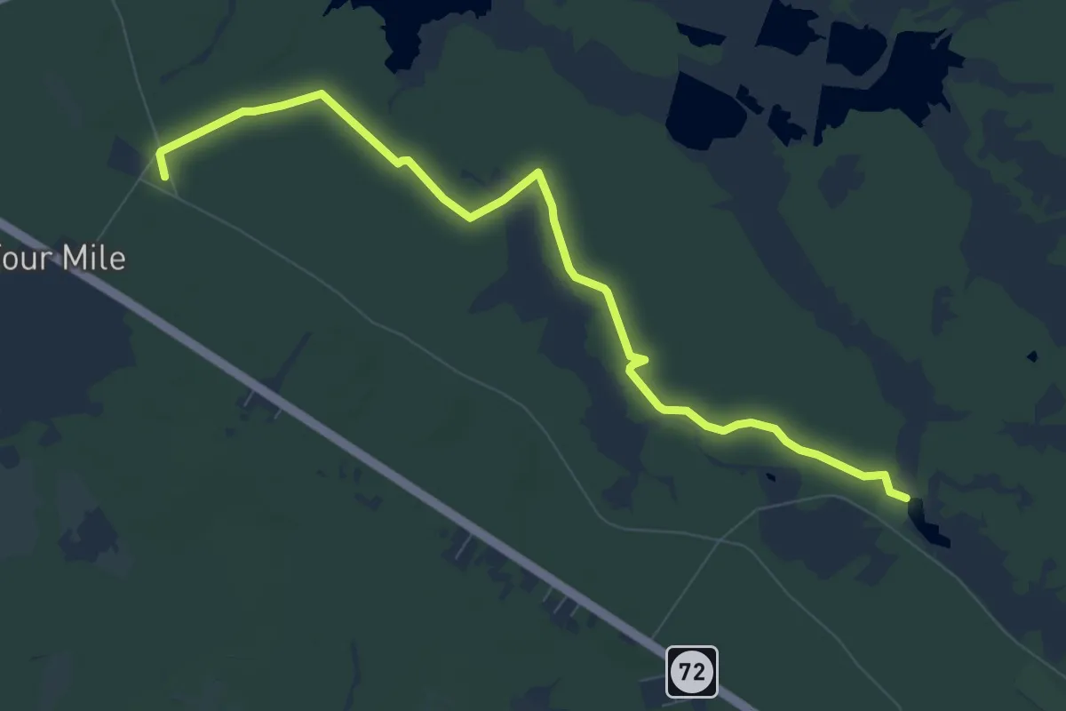
Medium · Trail
Cranberry Trail (red)
10.2 km · ↑ 8 m · 2 h 26 min
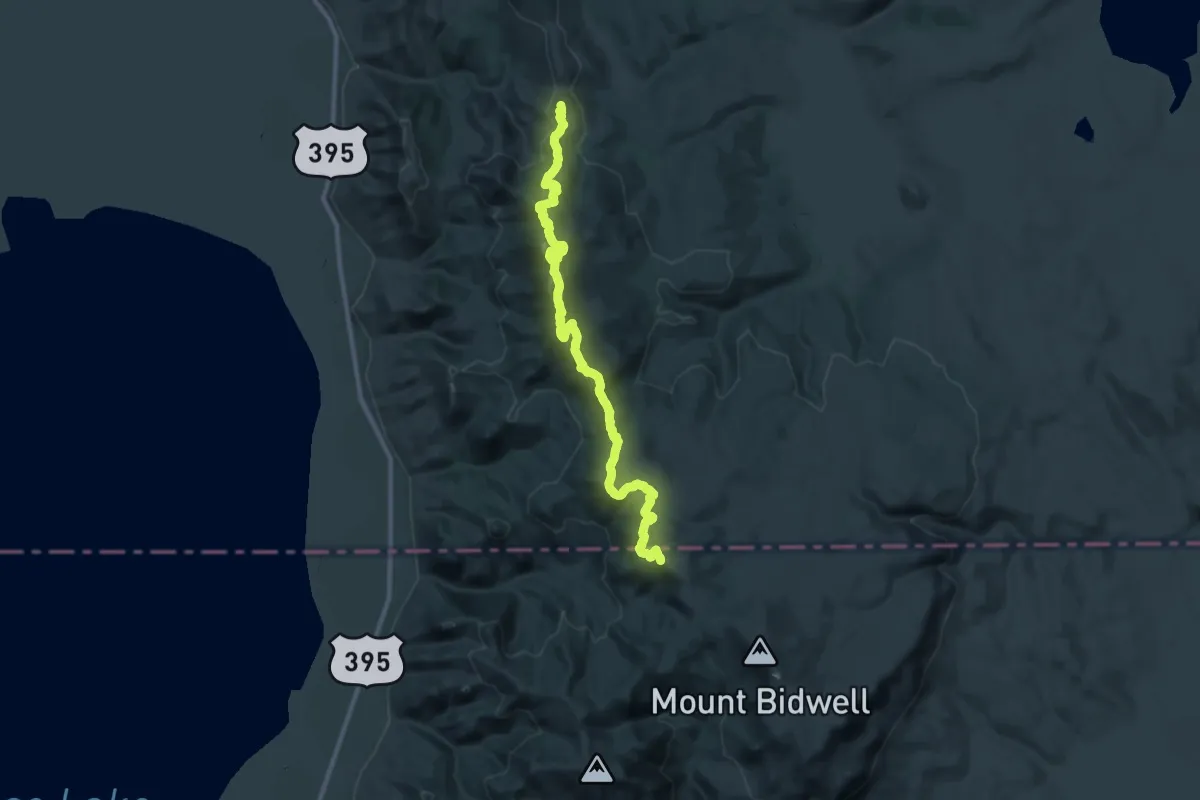
Demanding · Summit
Crane Mountain NRT
41.5 km · ↑ 1447 m · 12 h 56 min
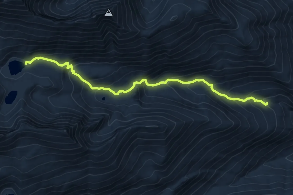
Medium · Trail
Crater Creek Trail
9.7 km · ↑ 611 m · 3 h 36 min
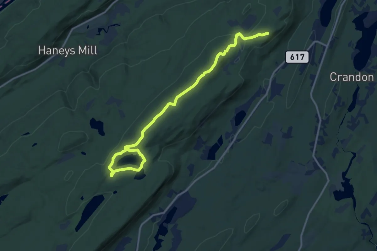
Medium · Summit
Crater Lake Loop Trail
12.4 km · ↑ 279 m · 3 h 32 min
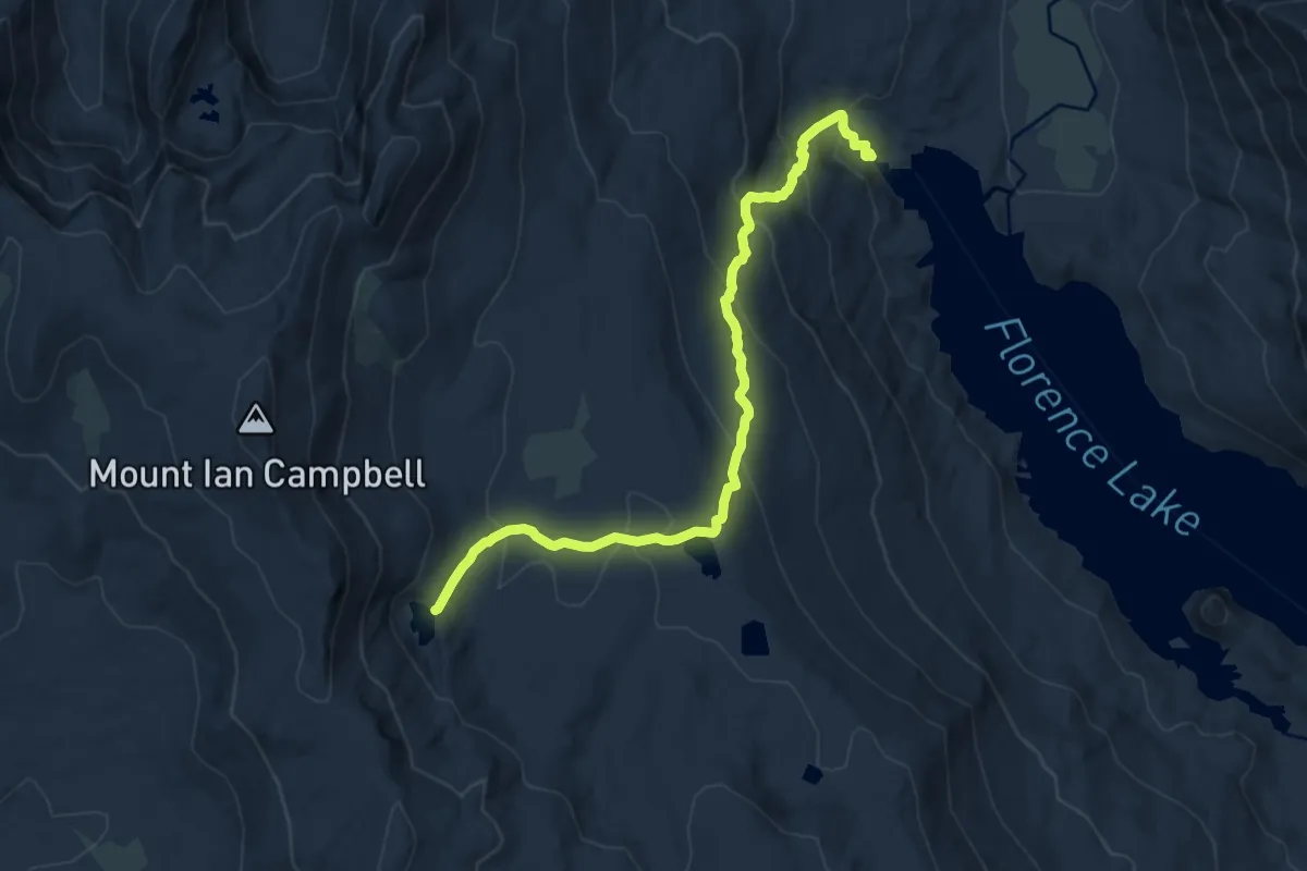
Medium · Trail
Crater Lake Trail
11.7 km · ↑ 634 m · 4 h 8 min
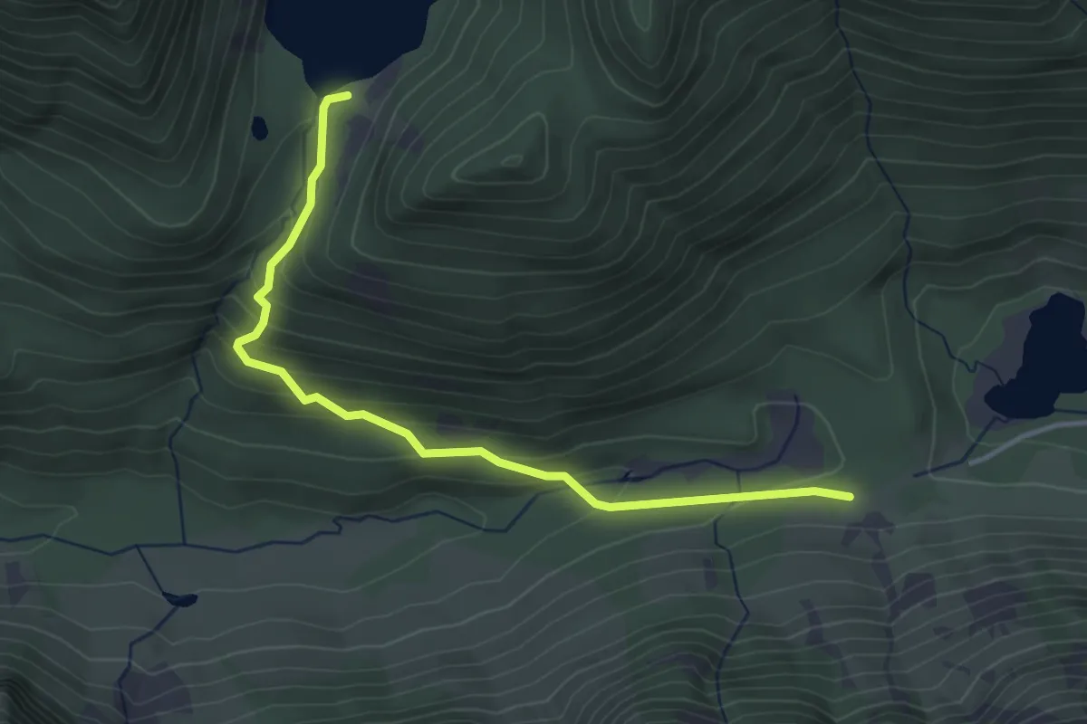
Easy · Trail
Crater Lake Trail
3.8 km · ↑ 219 m · 1 h 22 min
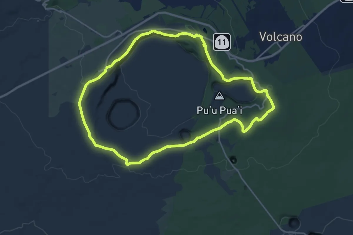
Demanding · Trail
Crater Rim Trail
18.1 km · ↑ 258 m · 5 h 5 min
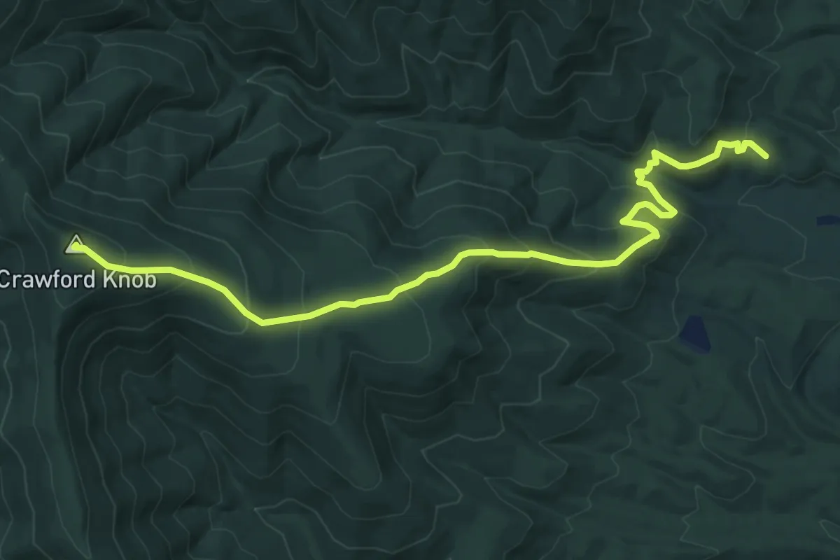
Medium · Summit
Crawford Knob Trail
8.6 km · ↑ 592 m · 3 h 18 min
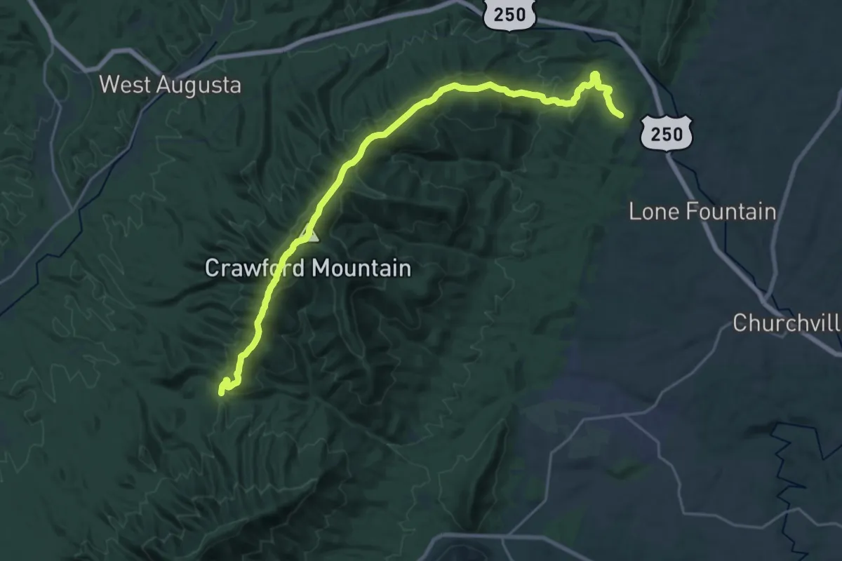
Medium · Trail
Crawford Mountain Trail
13.5 km · ↑ 514 m · 4 h 37 min
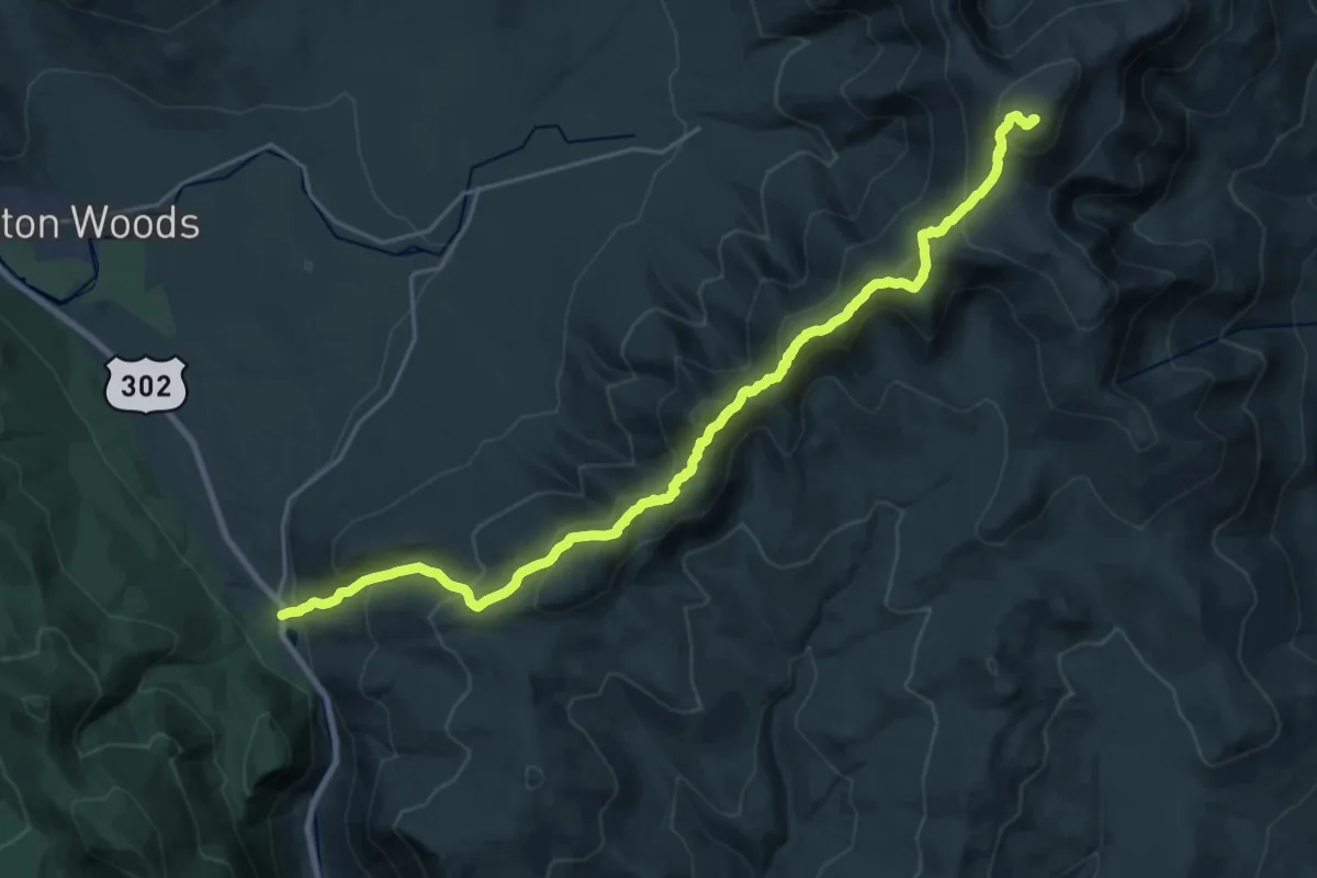
Demanding · Summit
Crawford Path
24.8 km · ↑ 1594 m · 9 h 19 min
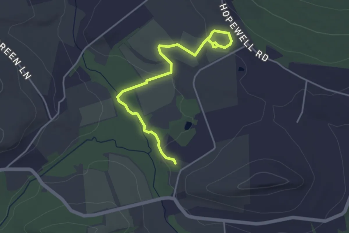
Easy · Trail
Creek & Chief’s Grove Trail
4.4 km · ↑ 42 m · 1 h 8 min
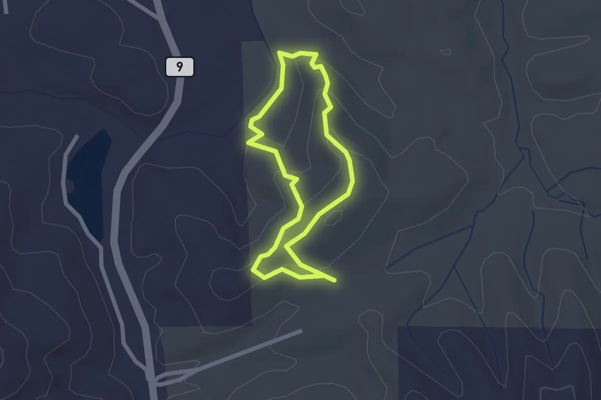
Easy · Trail
Creek Loop
2.0 km · ↑ 79 m · 40 min
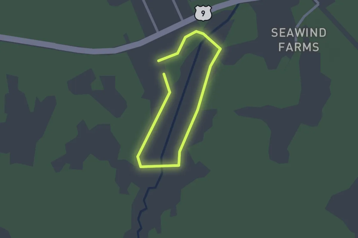
Easy · Trail
Creek Loop (Red-dot) Trail
1.4 km · ↑ 0 m · 22 min
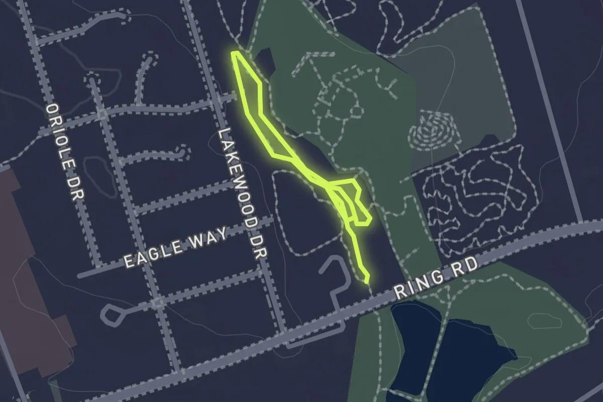
Easy · Trail
Creekside Loop
1.4 km · ↑ 4 m · 21 min
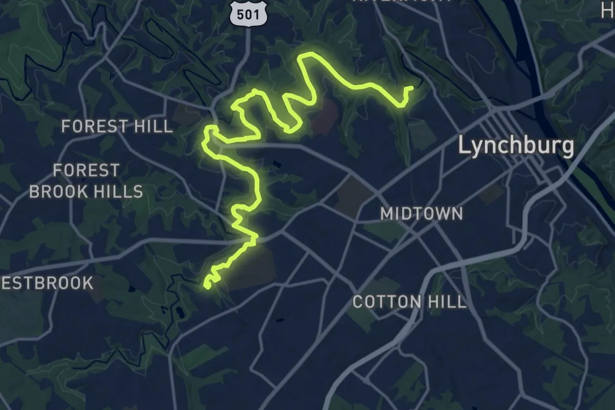
Demanding · Trail
Creekside Trail
20.6 km · ↑ 98 m · 5 h 4 min
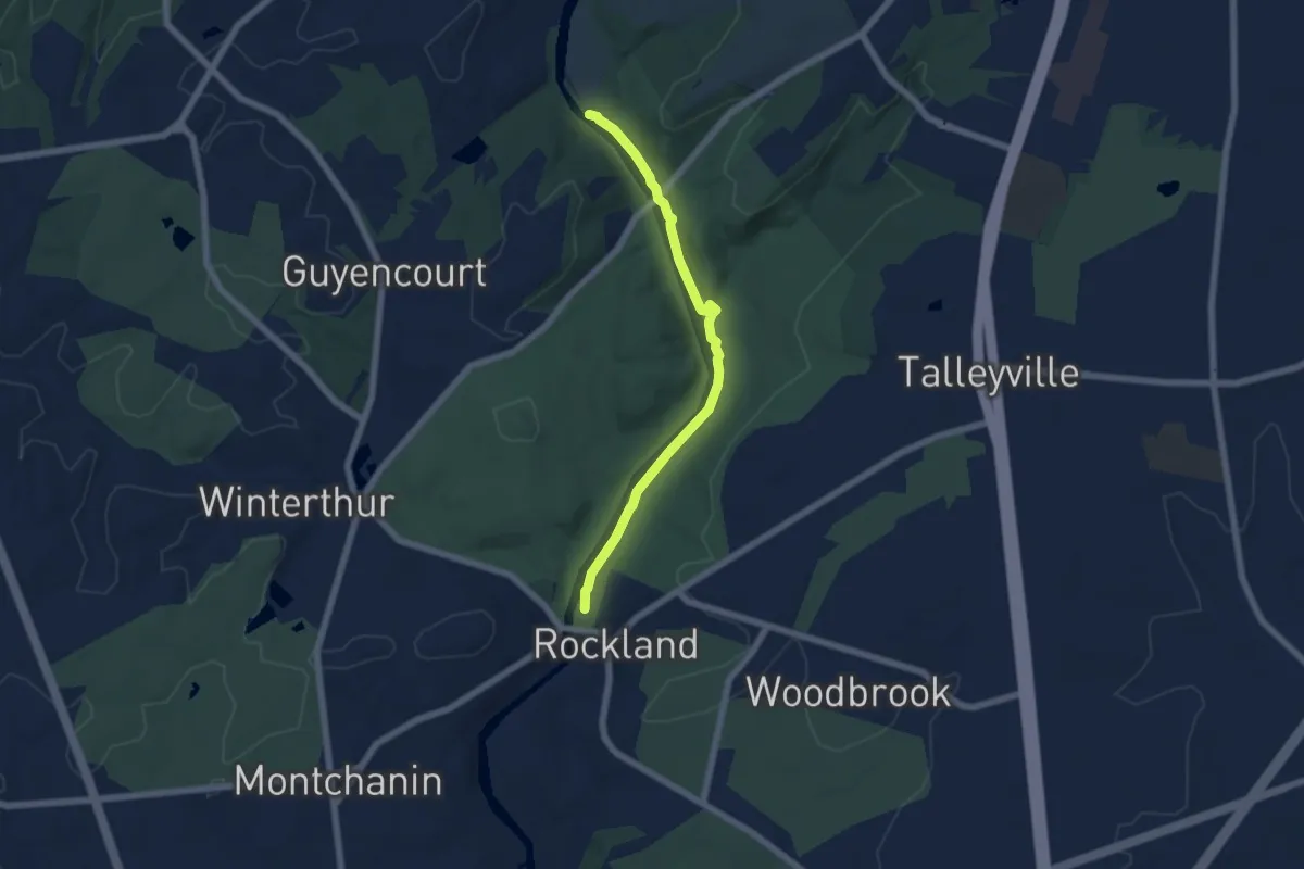
Easy · Trail
Creekside Trail
6.3 km · ↑ 0 m · 1 h 29 min
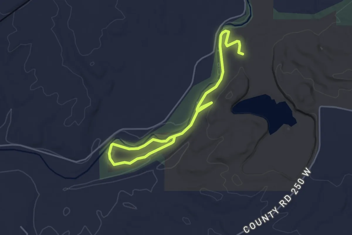
Easy · Trail
Creekside Trail
5.7 km · ↑ 38 m · 1 h 26 min
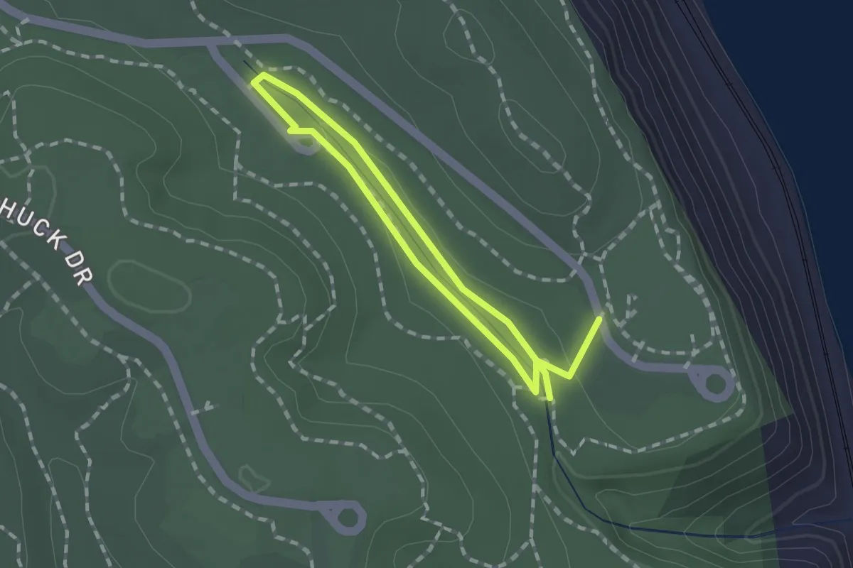
Easy · Trail
Creekside Trail
1.2 km · ↑ 9 m · 18 min
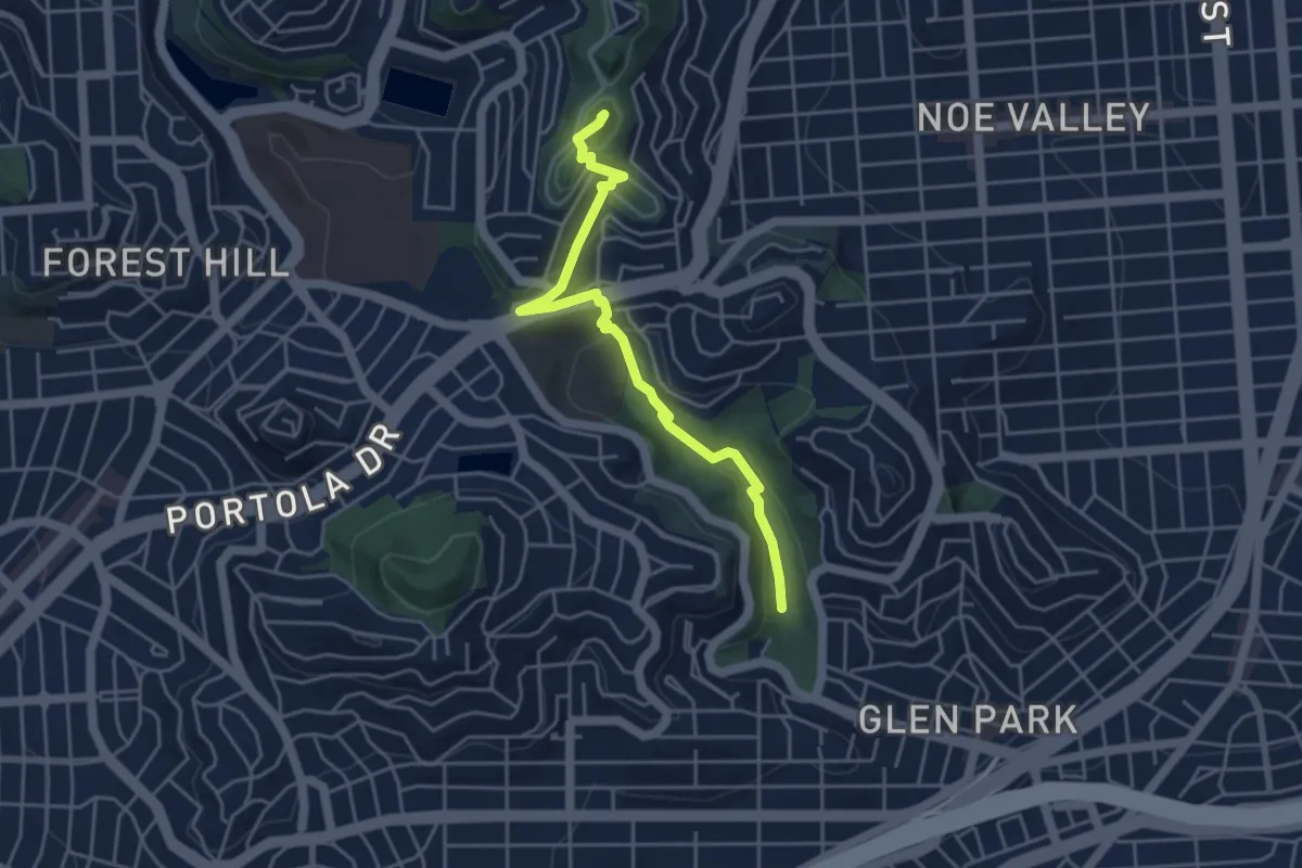
Easy · Summit
Creeks to Peaks
5.2 km · ↑ 194 m · 1 h 39 min
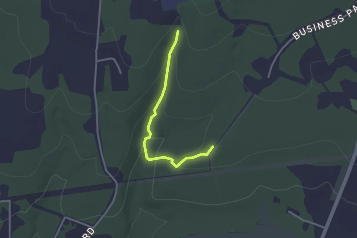
Easy · Trail
Creek Track (Meshach Browning PURPLE trail)
2.5 km · ↑ 89 m · 48 min
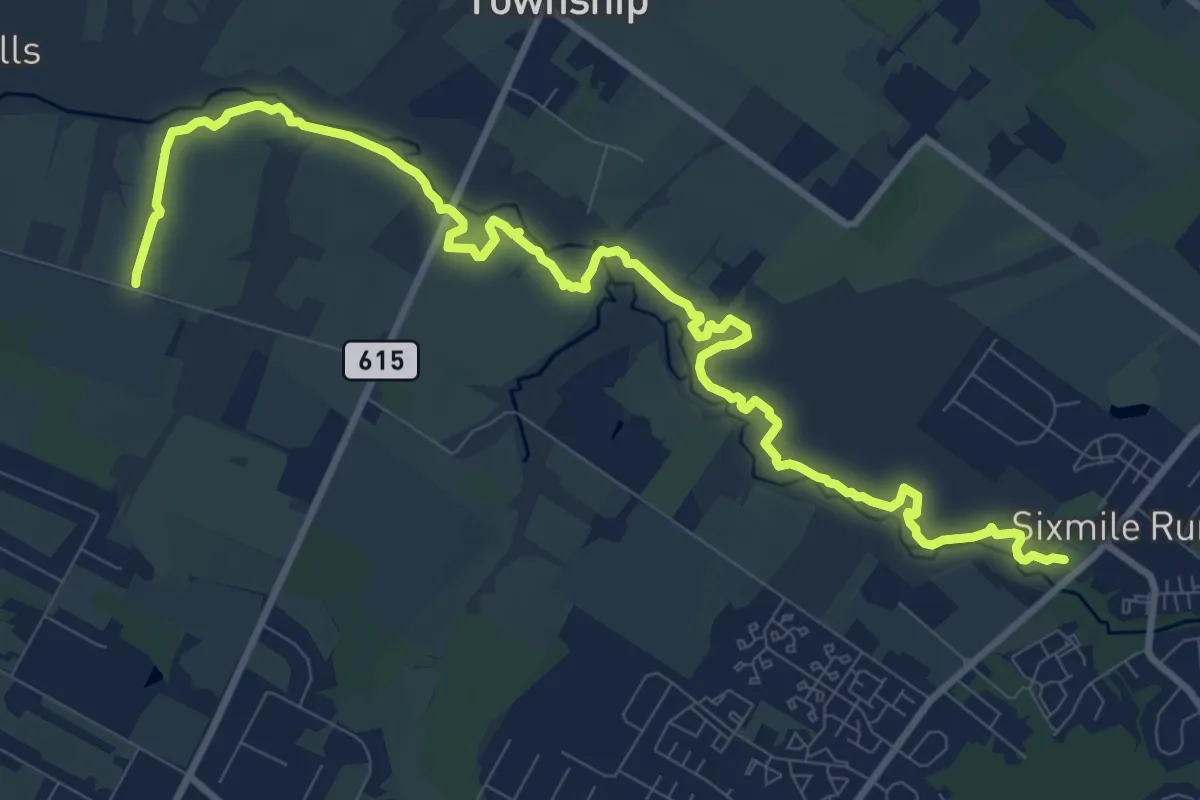
Medium · Trail
Creek Trail
14.0 km · ↑ 64 m · 3 h 27 min
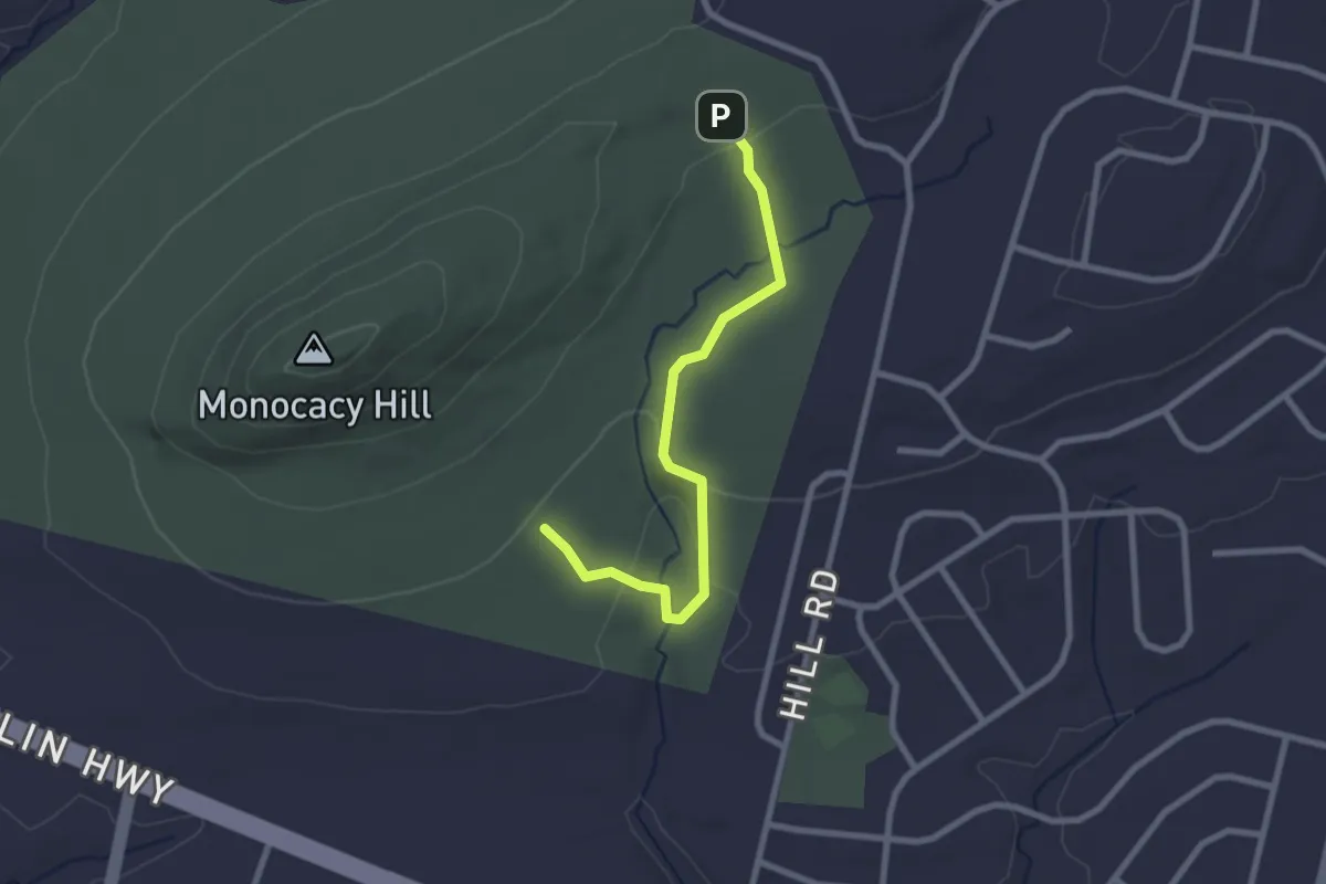
Easy · Trail
Creek Trail
2.8 km · ↑ 77 m · 49 min
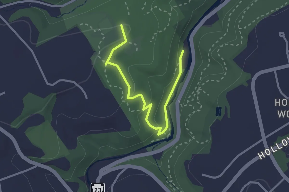
Easy · Trail
Creek Trail
2.8 km · ↑ 79 m · 50 min
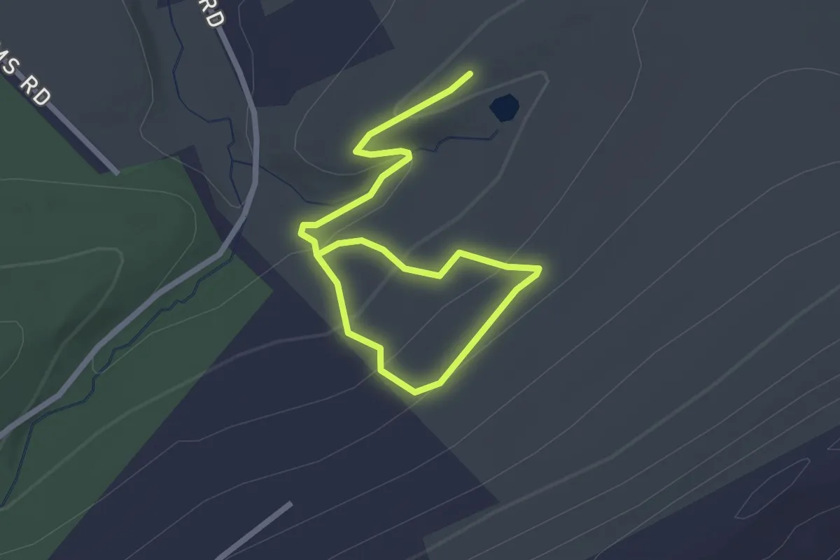
Easy · Trail
Creek Trail
3.5 km · ↑ 145 m · 1 h 9 min
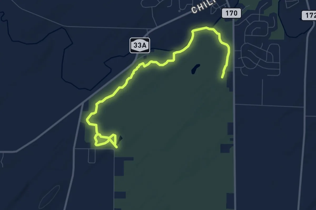
Medium · Trail
Creek Trail
10.9 km · ↑ 62 m · 2 h 43 min
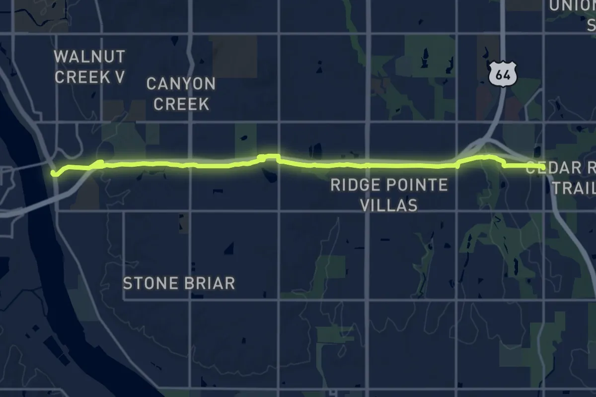
Demanding · Trail
Creek Turnpike Trail
20.3 km · ↑ 213 m · 5 h 16 min
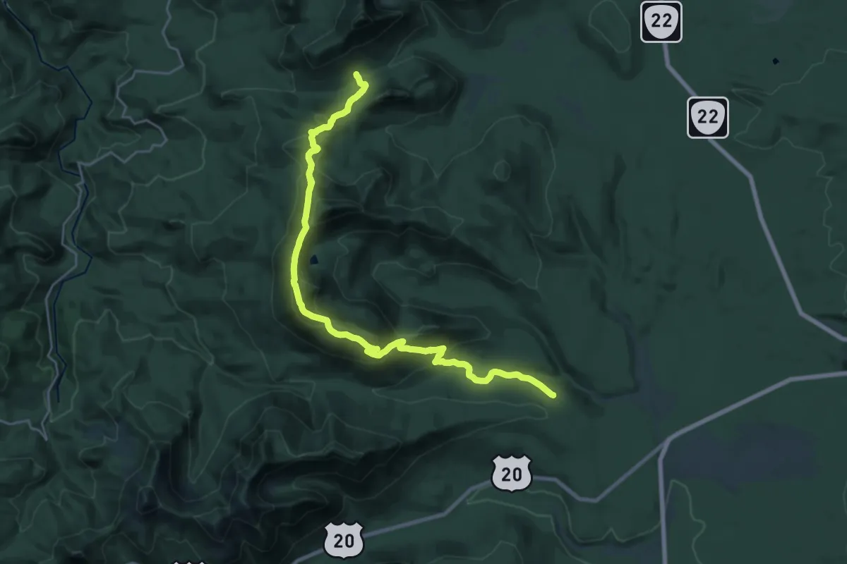
Medium · Trail
Crescent Mountain Trail
12.7 km · ↑ 694 m · 4 h 37 min
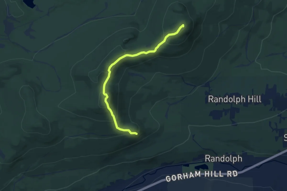
Medium · Summit
Crescent Ridge Trail
8.9 km · ↑ 638 m · 3 h 29 min
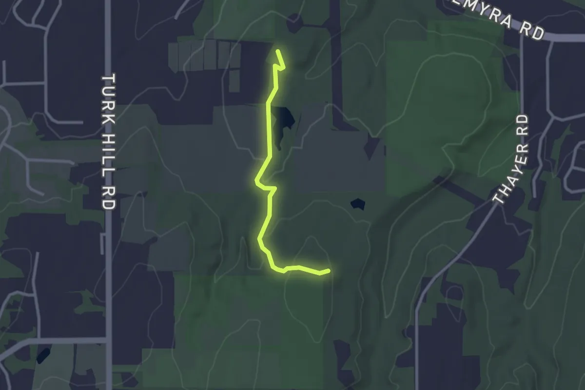
Easy · Trail
Crescent Trail (Blue Blazes)
2.3 km · ↑ 66 m · 41 min
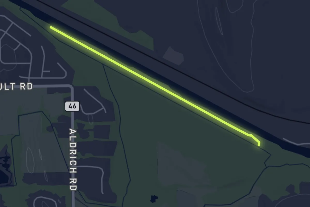
Easy · Trail
Crescent Trail (Blue Blazes)
4.0 km · ↑ 0 m · 57 min
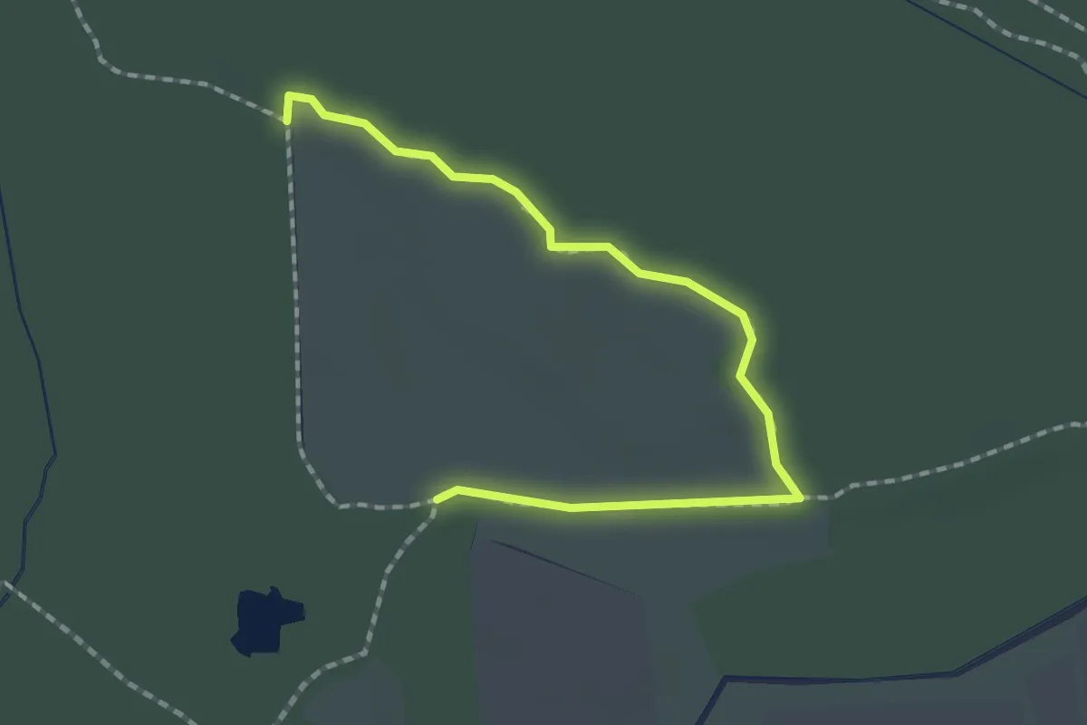
Easy · Trail
Crescent Trail (Blue Blazes)
2.1 km · ↑ 0 m · 30 min
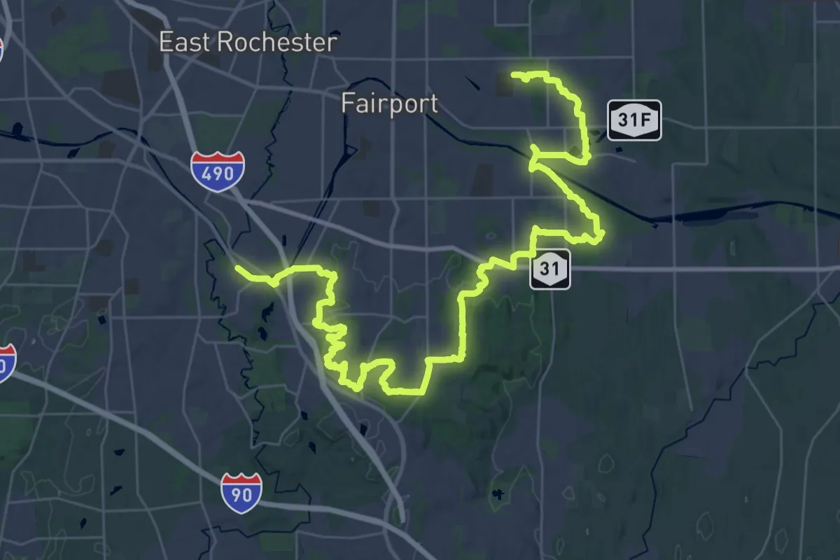
Demanding · Trail
Crescent Trail (Orange Blazes)
28.4 km · ↑ 430 m · 8 h 2 min
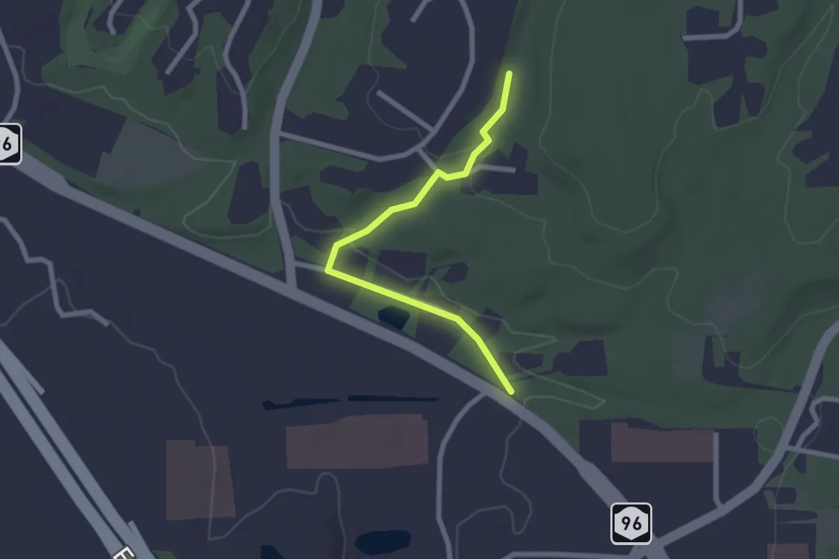
Easy · Trail
Crescent Trail (White Blazes)
2.2 km · ↑ 30 m · 35 min
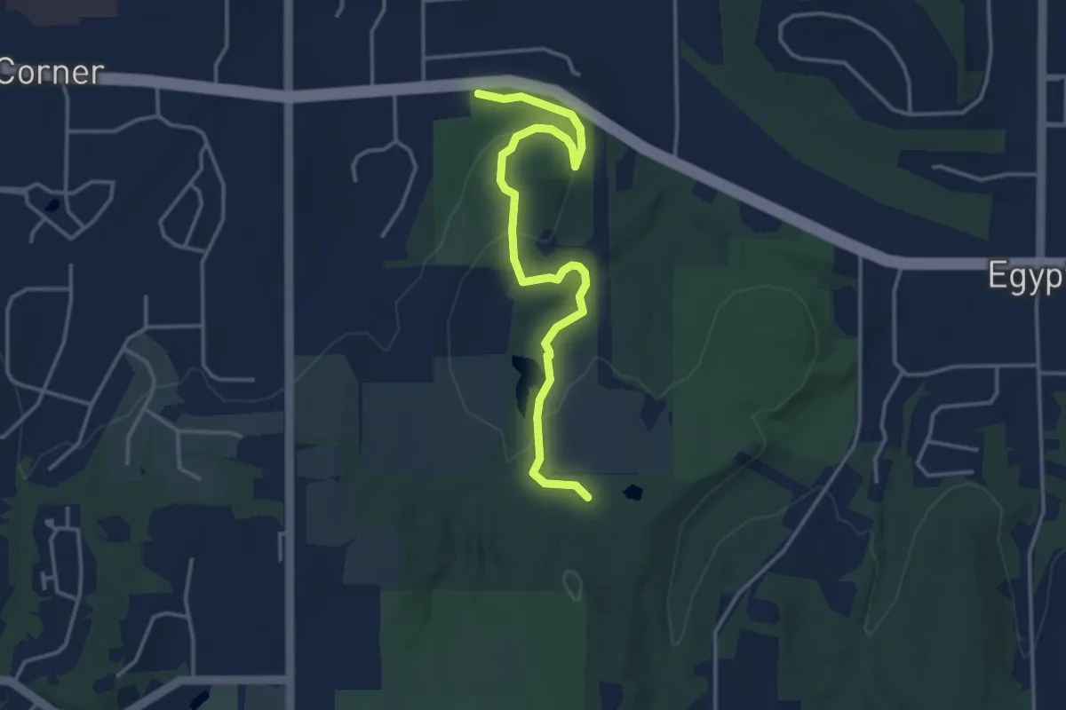
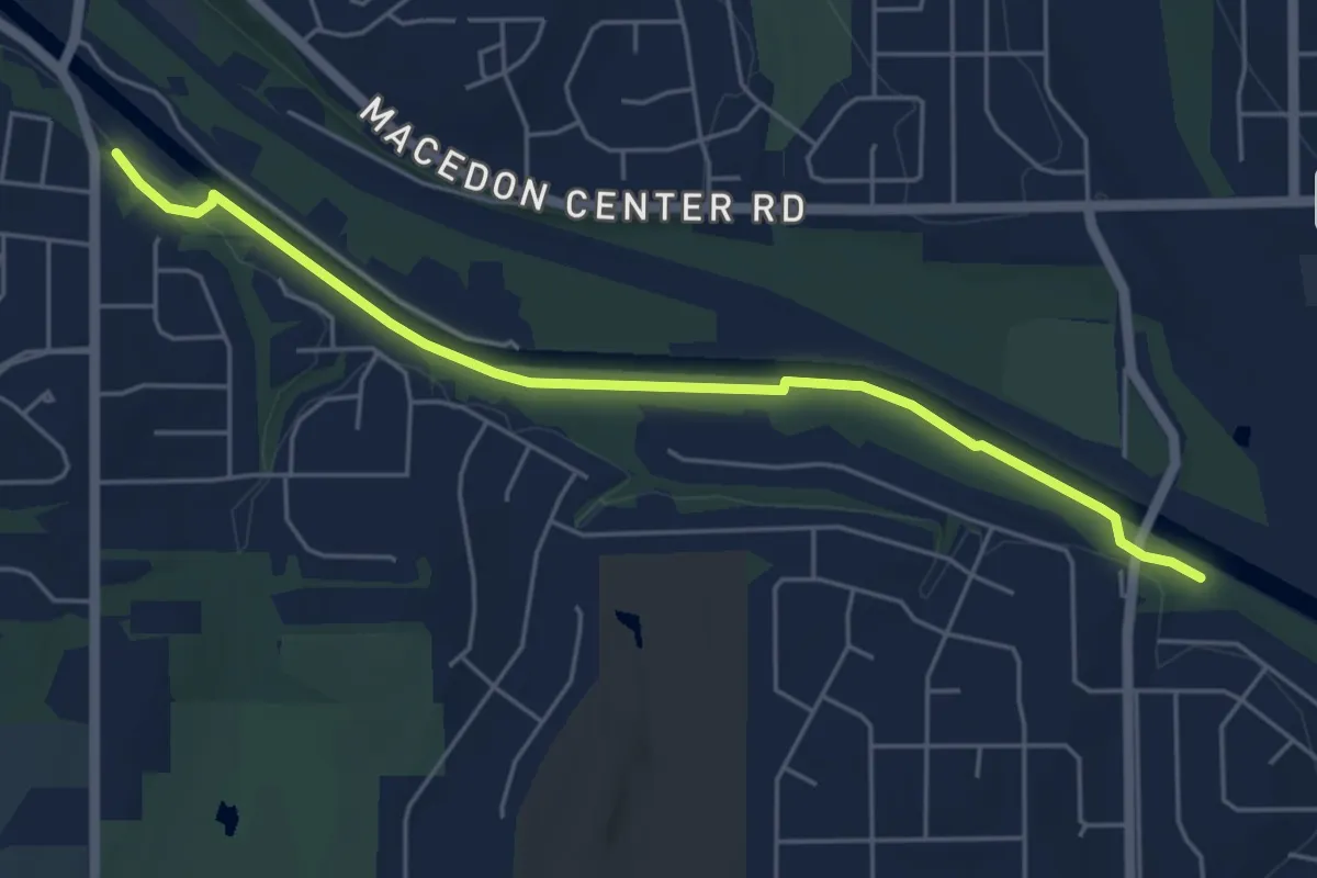
Easy · Trail
Crescent Trail (Yellow Blazes)
4.1 km · ↑ 116 m · 1 h 13 min
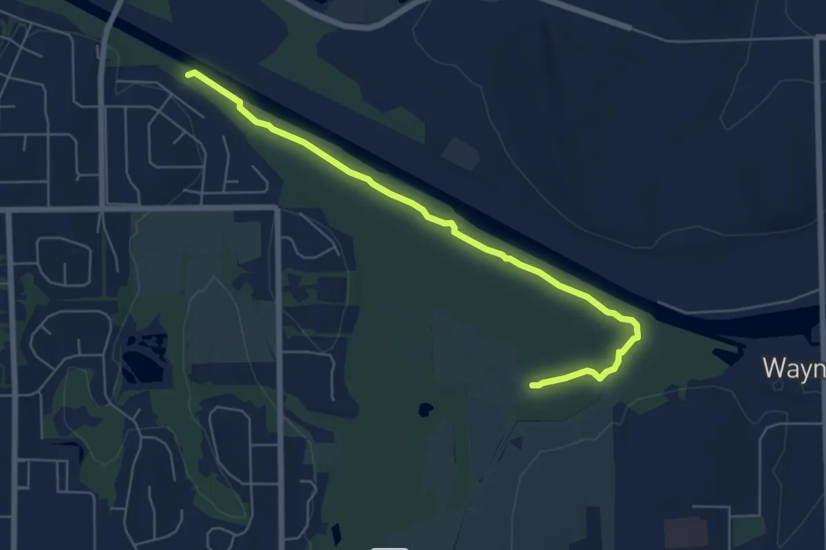
Easy · Trail
Crescent Trail (Yellow Blazes)
5.8 km · ↑ 19 m · 1 h 25 min
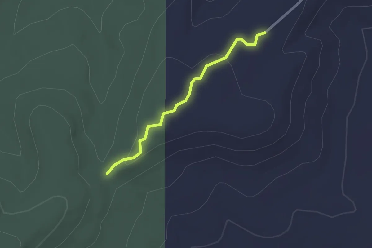
Easy · Trail
Crescent Trail (Yellow Blazes)
6.2 km · ↑ 0 m · 1 h 28 min
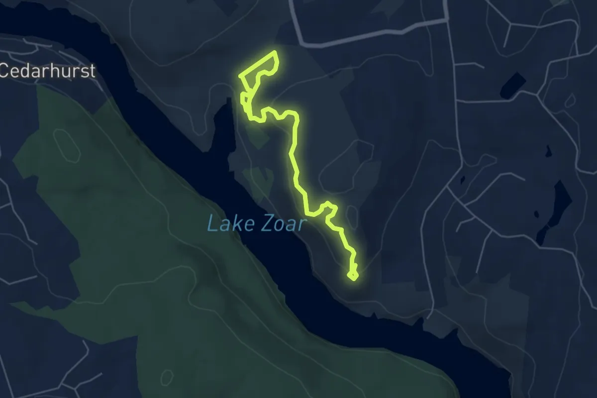
Easy · Trail
Cresta Vista Connector Trail
2.1 km · ↑ 50 m · 36 min
Easy · Trail
Crest Trail
6.7 km · ↑ 261 m · 2 h 9 min
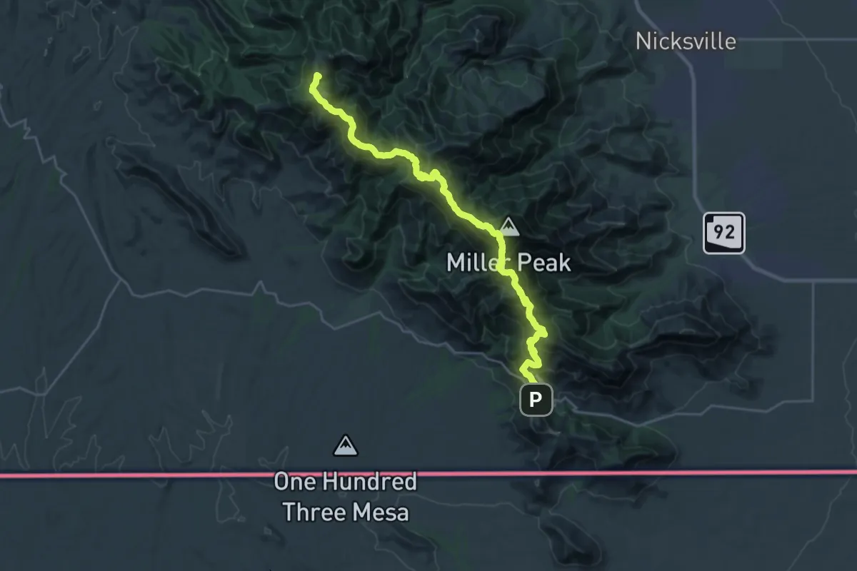
Demanding · Summit
Crest Trail #103
30.9 km · ↑ 1718 m · 11 h 1 min
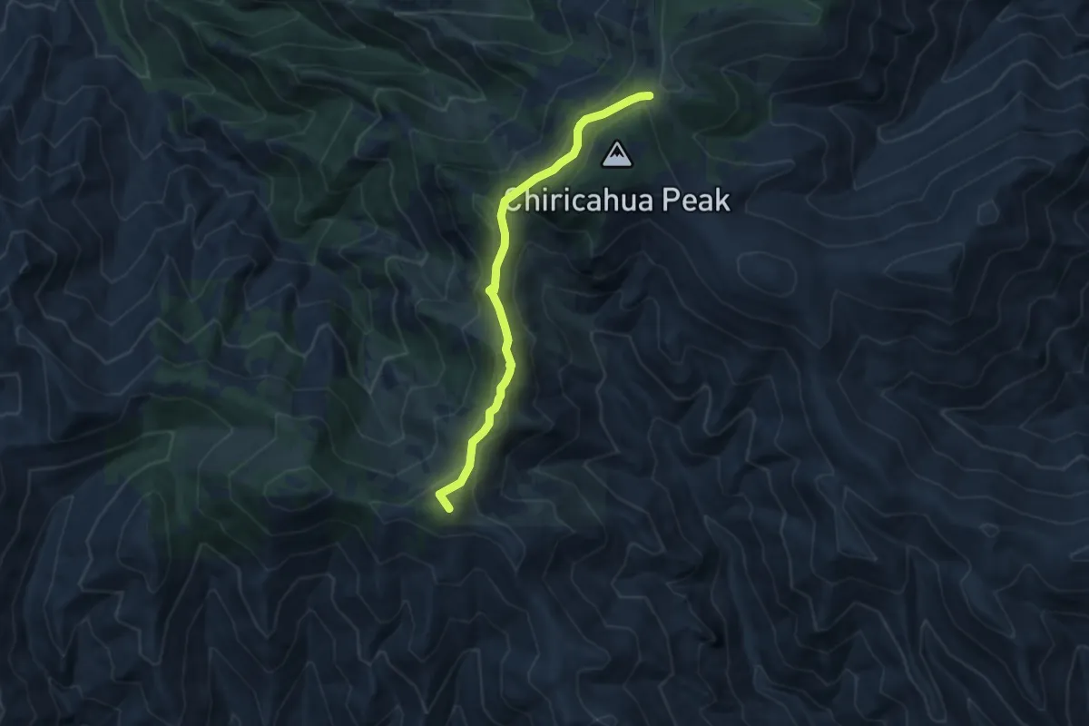
Medium · Summit
Crest Trail #270B
7.5 km · ↑ 323 m · 2 h 29 min
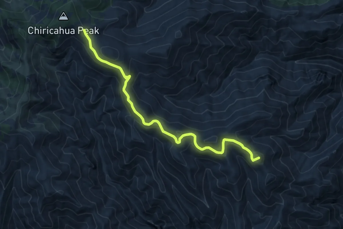
Medium · Summit
Crest Trail #270C
13.1 km · ↑ 482 m · 4 h 8 min
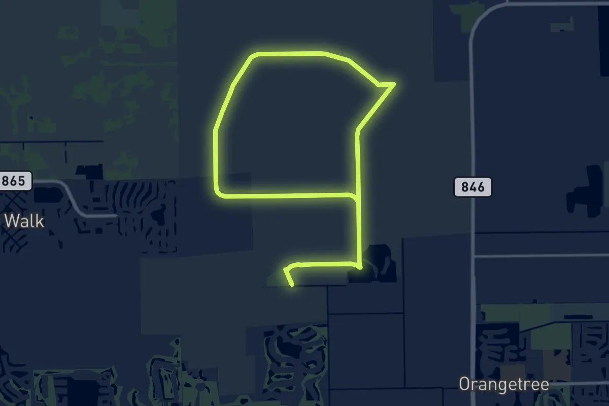
Demanding · Trail
CREW Bird Rookery Swamp Trail
31.3 km · ↑ 0 m · 7 h 23 min