Trails in United States
10,332 hiking trails, each with its route, climb, walking time and grade.
All trails, page 6 of 216
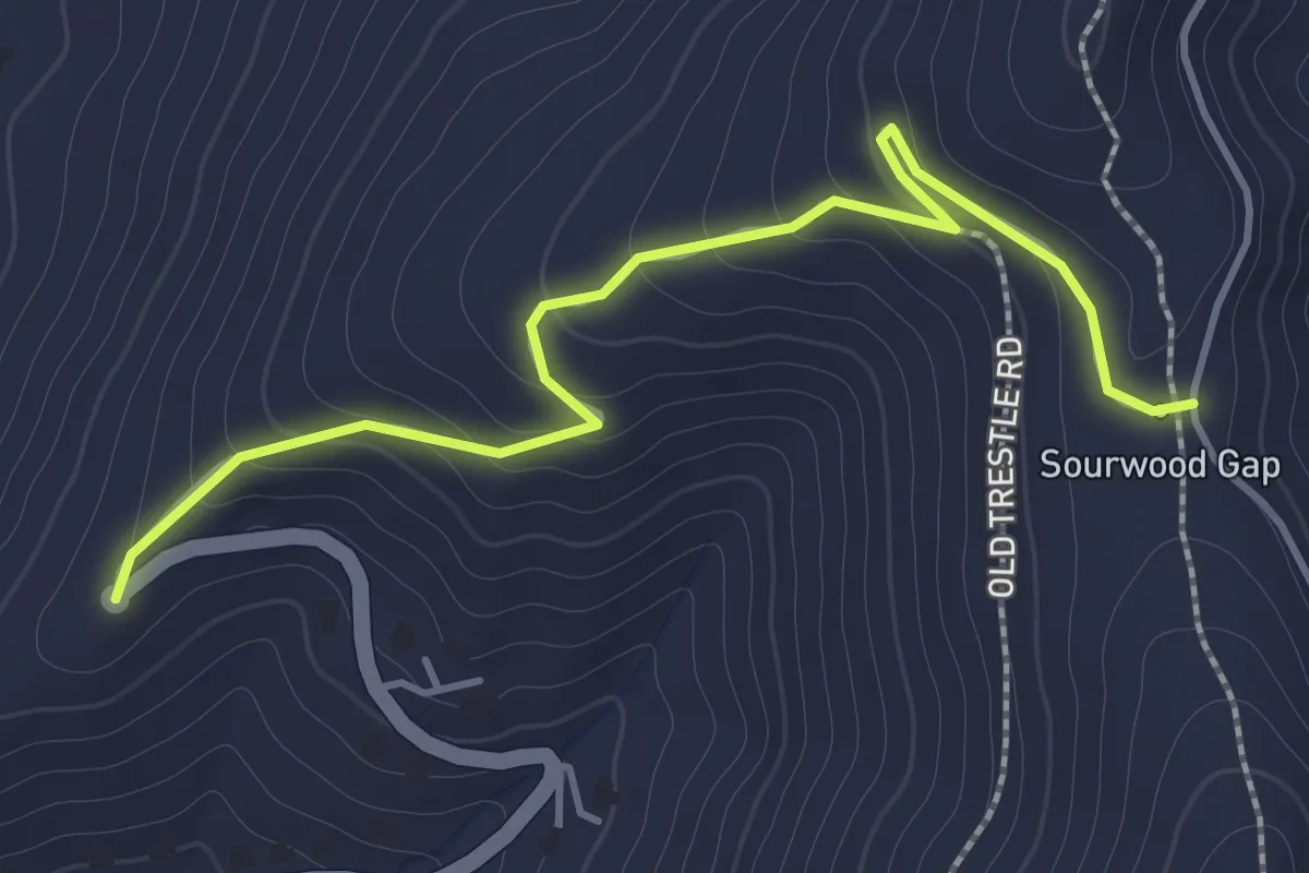
Easy · Trail
Appalachian Way
2.0 km · ↑ 149 m · 48 min
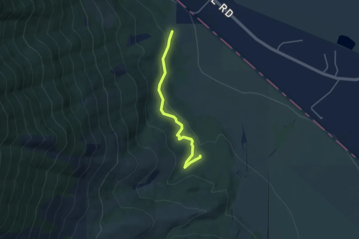
Easy · Trail
Appaloosa Trail
3.3 km · ↑ 109 m · 1 h 1 min
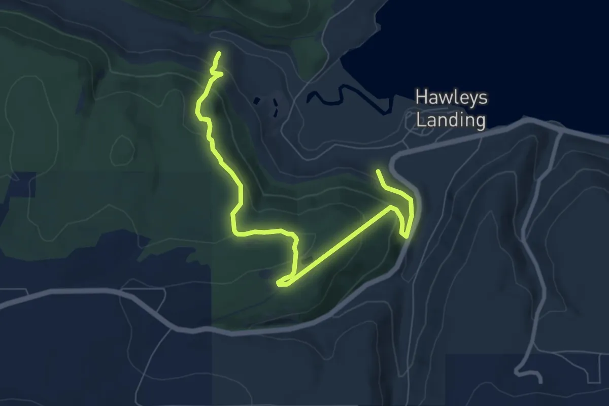
Medium · Trail
Appaloosa Trail
8.2 km · ↑ 371 m · 2 h 45 min
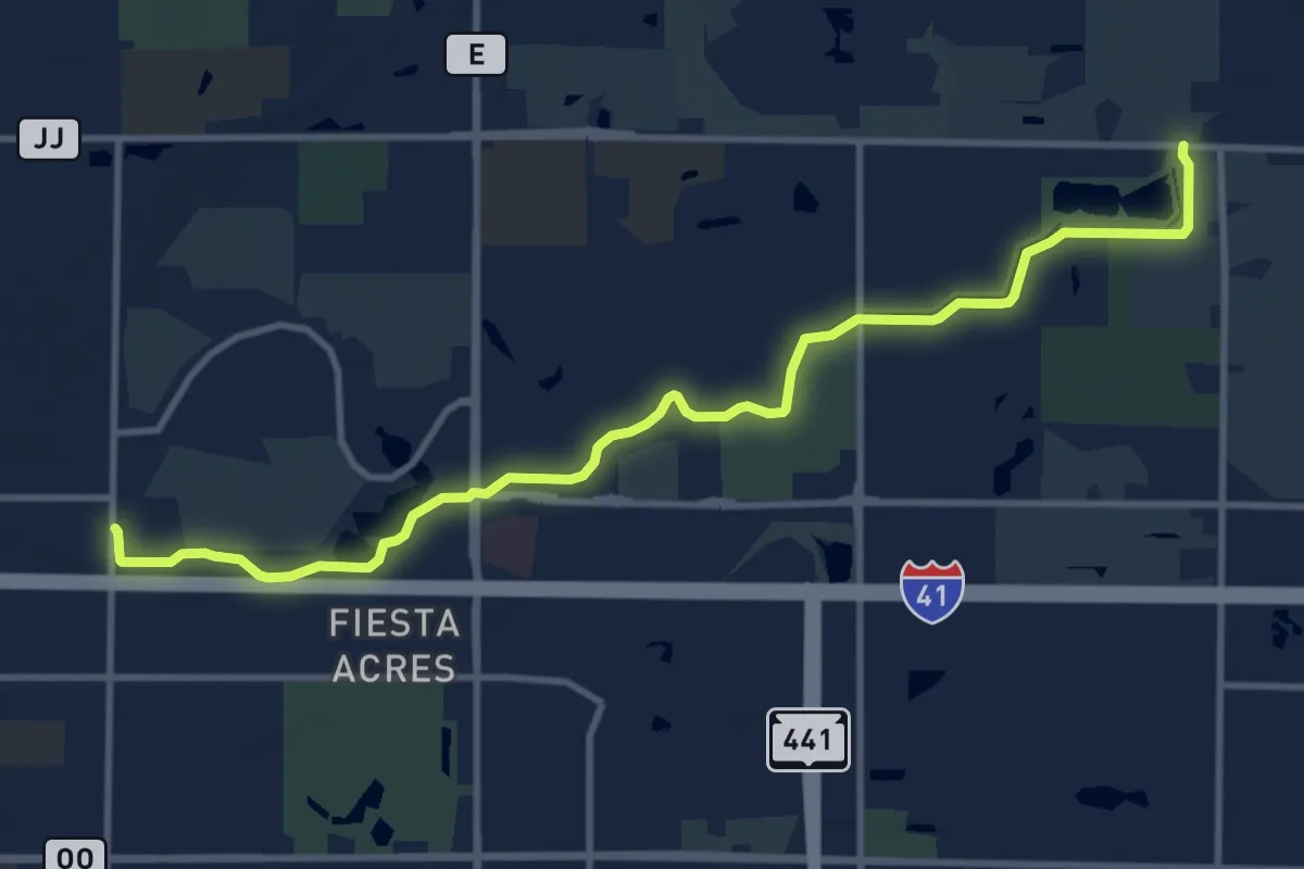
Medium · Trail
Apple Creek Trail
12.6 km · ↑ 16 m · 3 h
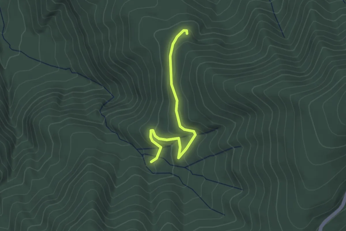
Easy · Trail
Apple Orchard Spur
3.2 km · ↑ 83 m · 57 min
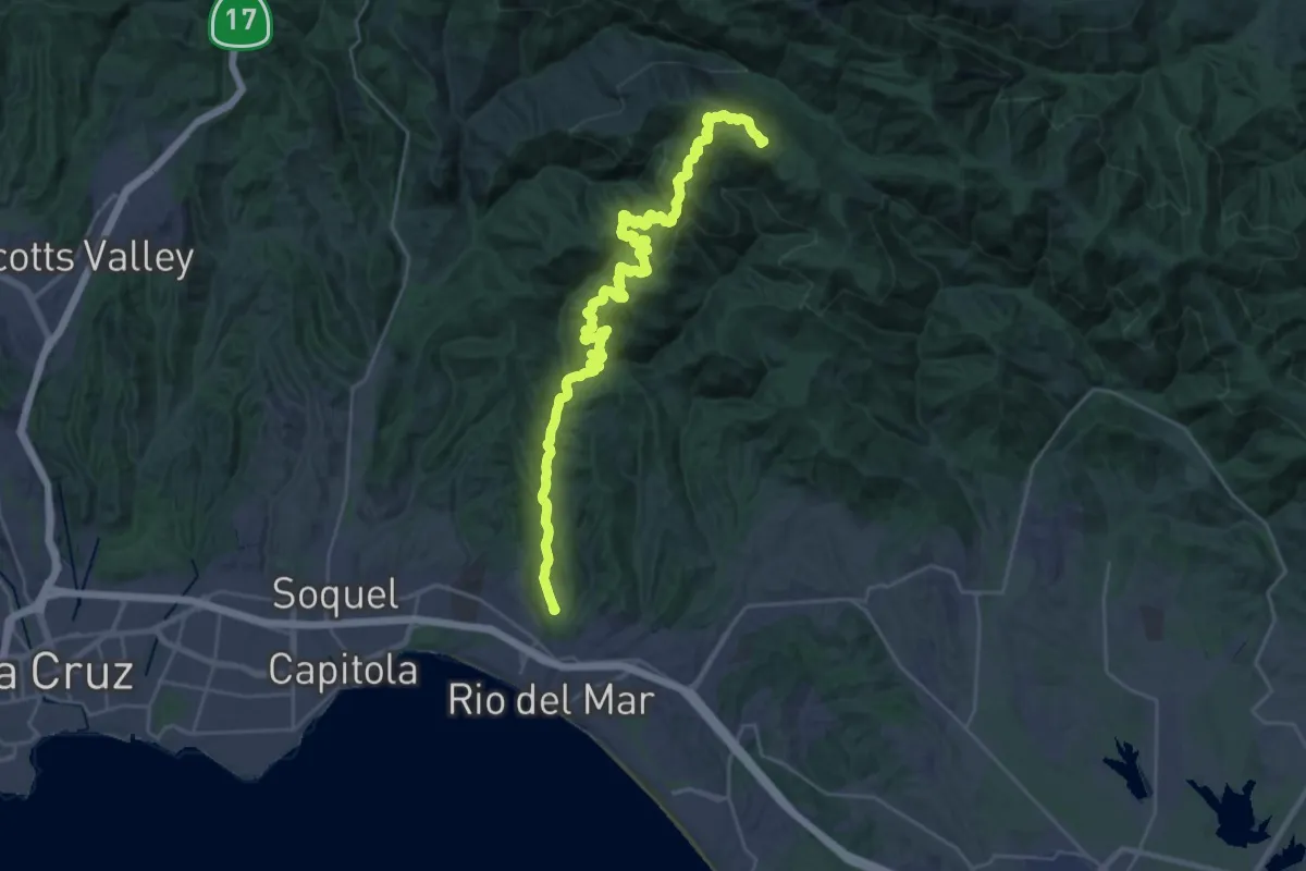
Demanding · Summit
Aptos Creek Fire Road
38.3 km · ↑ 1146 m · 11 h 31 min
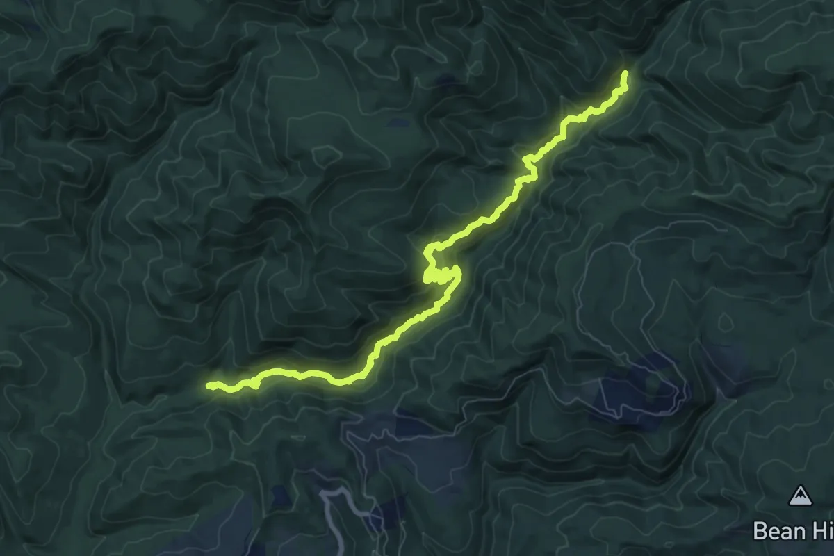
Medium · Trail
Aptos Creek Trail
11.4 km · ↑ 635 m · 4 h 4 min
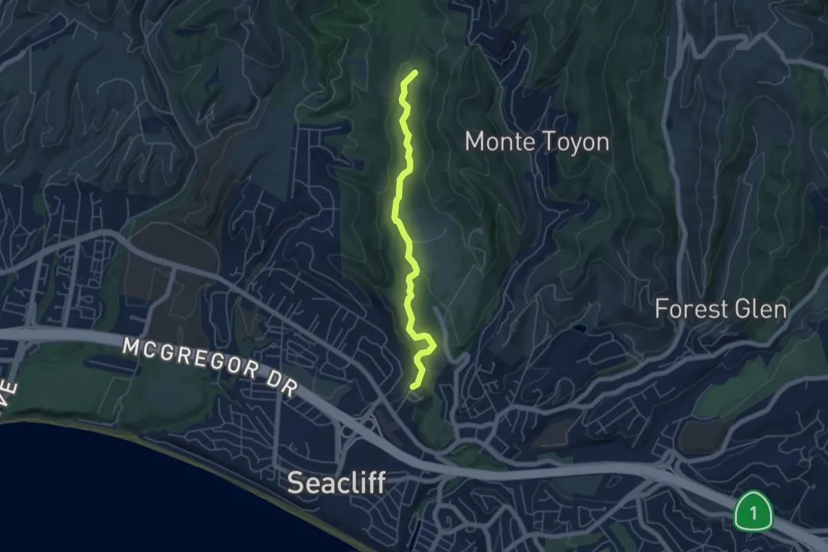
Easy · Trail
Aptos Rancho Trail
5.4 km · ↑ 130 m · 1 h 33 min
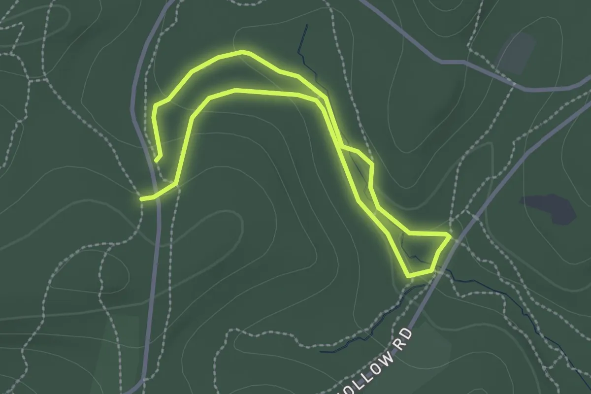
Easy · Trail
Aqueduct Trail
2.4 km · ↑ 46 m · 41 min
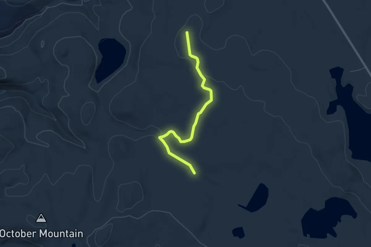
Easy · Trail
Aqueduct Trail
6.1 km · ↑ 49 m · 1 h 32 min
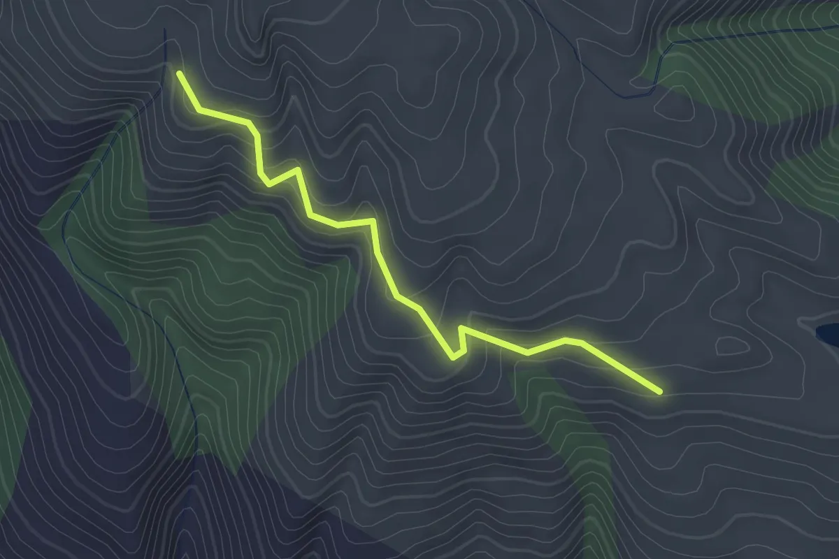
Easy · Trail
Aquila Trail
2.4 km · ↑ 118 m · 49 min
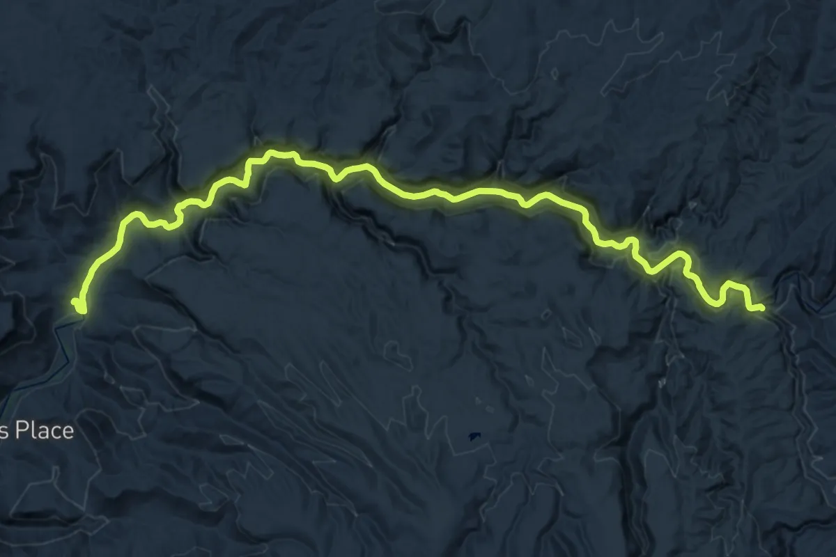
Medium · Trail
Aravaipa Canyon Trail
17.0 km · ↑ 378 m · 5 h 1 min
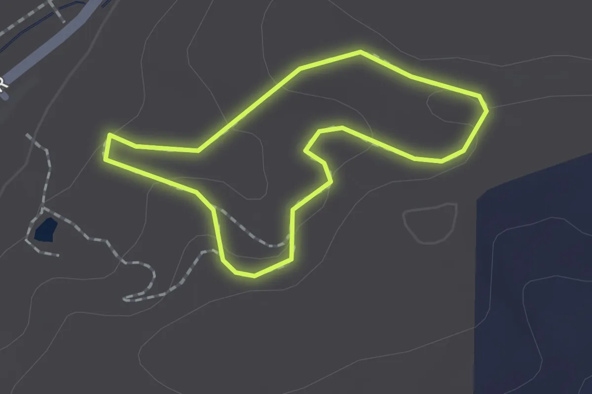
Easy · Trail
Arboretum Loop
1.3 km · ↑ 40 m · 25 min
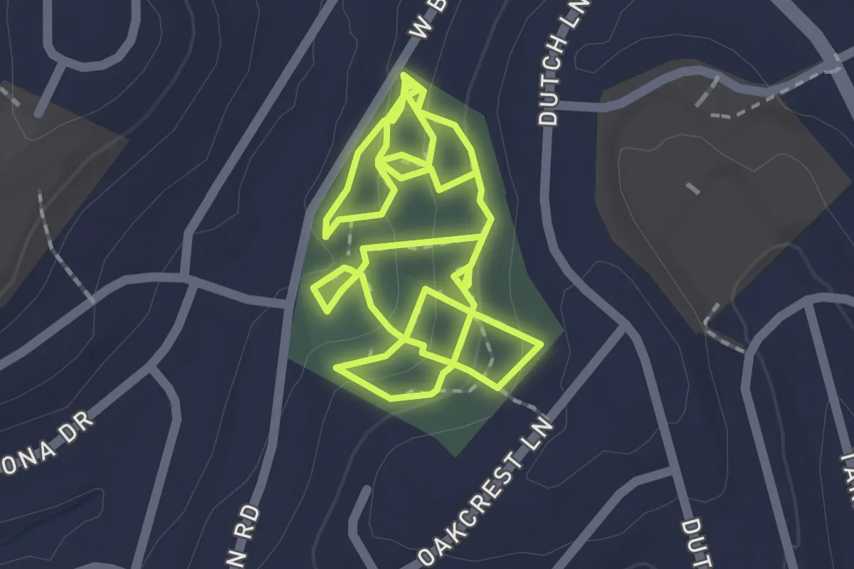
Easy · Trail
Arboretum Side Trails
2.1 km · ↑ 86 m · 43 min
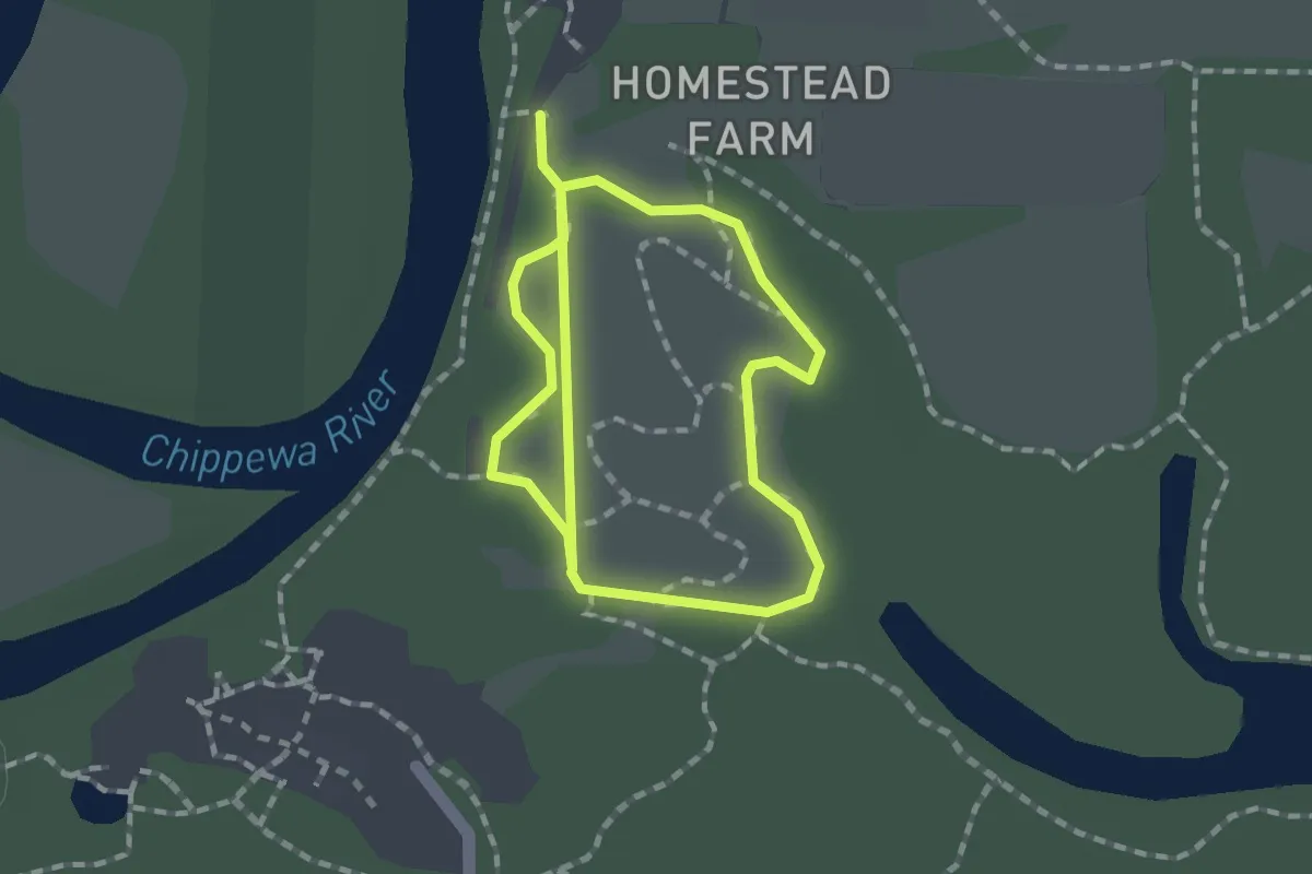
Easy · Trail
Arboretum Trail
2.9 km · ↑ 0 m · 41 min
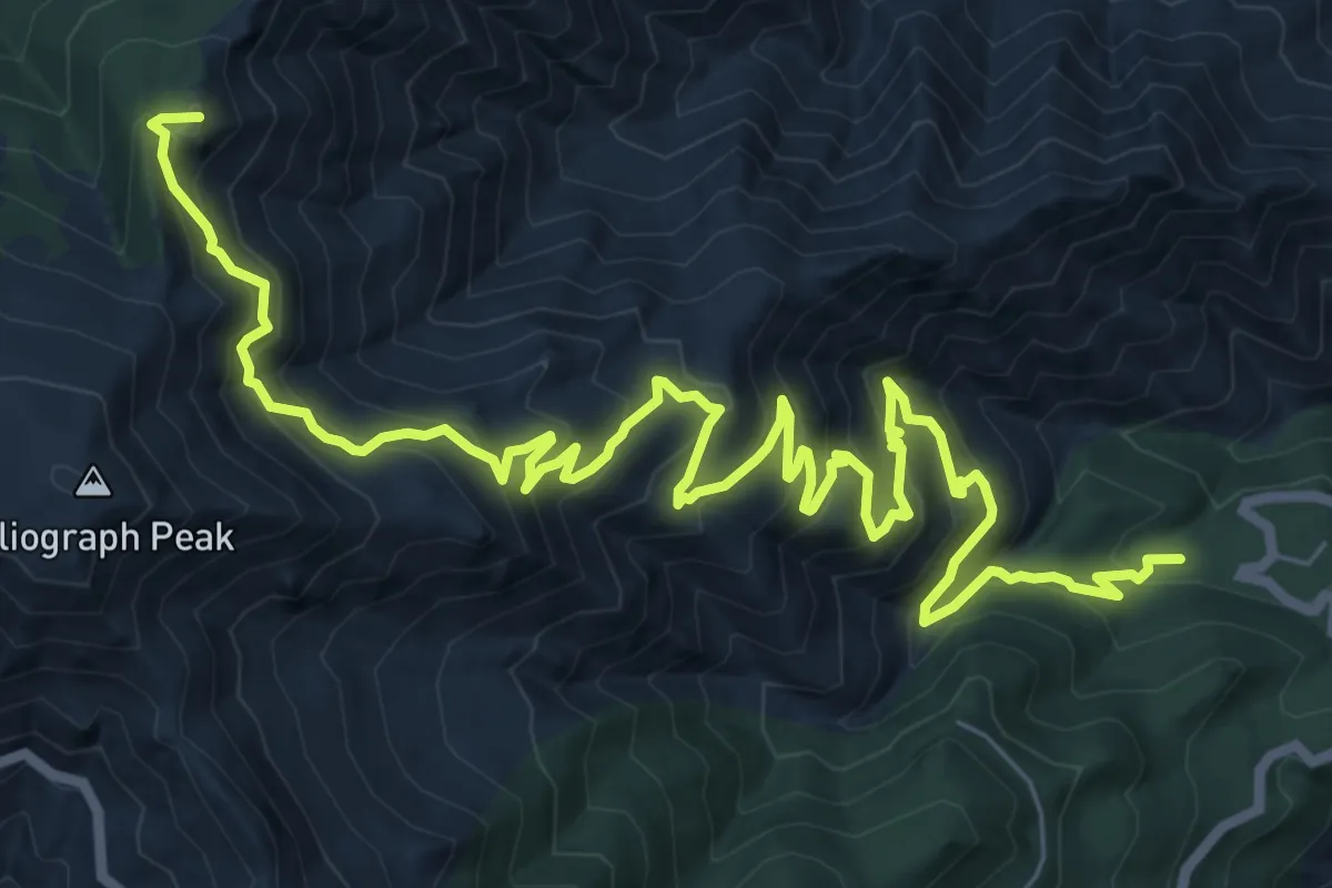
Demanding · Summit
Arcadia Trail #328
13.2 km · ↑ 904 m · 5 h 5 min
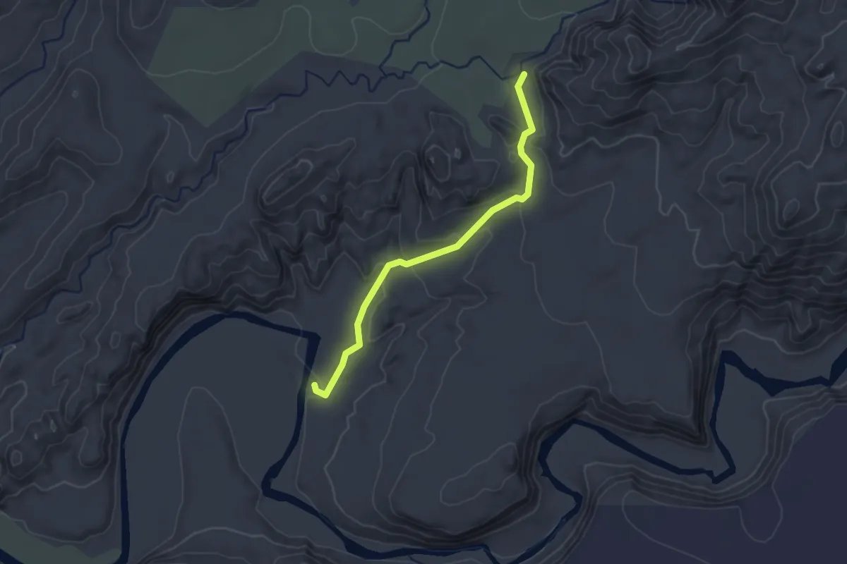
Easy · Trail
Arch
2.8 km · ↑ 109 m · 53 min
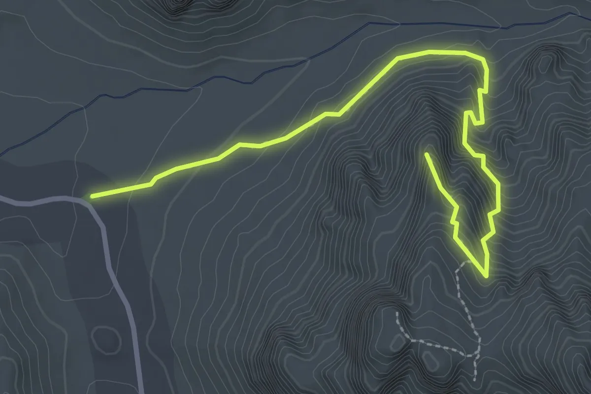
Expert · Trail
Arch Canyon Trail
3.9 km · ↑ 352 m · 1 h 41 min
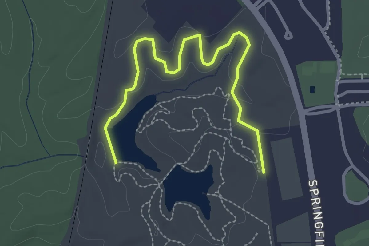
Easy · Trail
Archer Loop
3.5 km · ↑ 38 m · 54 min
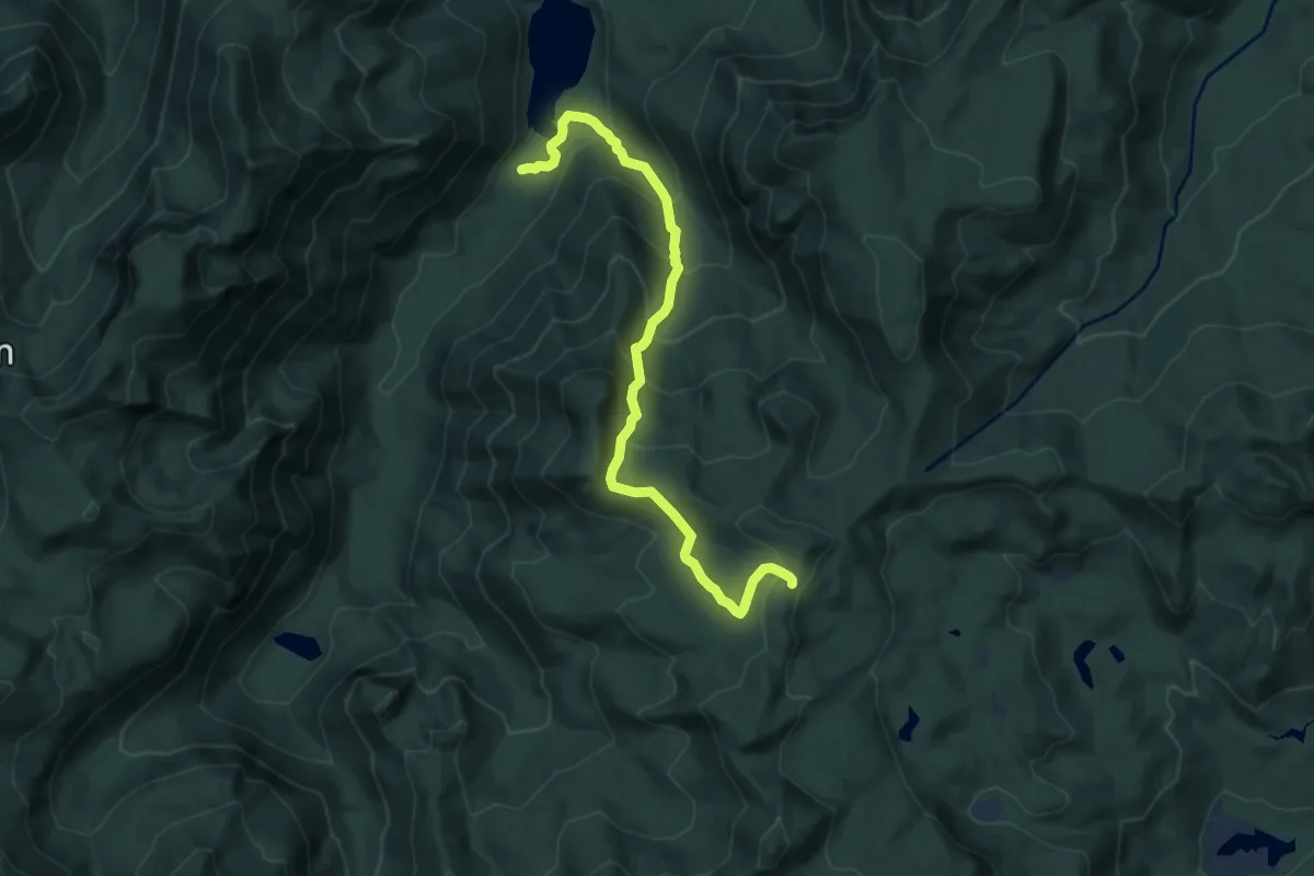
Medium · Trail
Arch Rock Trail
10.1 km · ↑ 704 m · 3 h 54 min
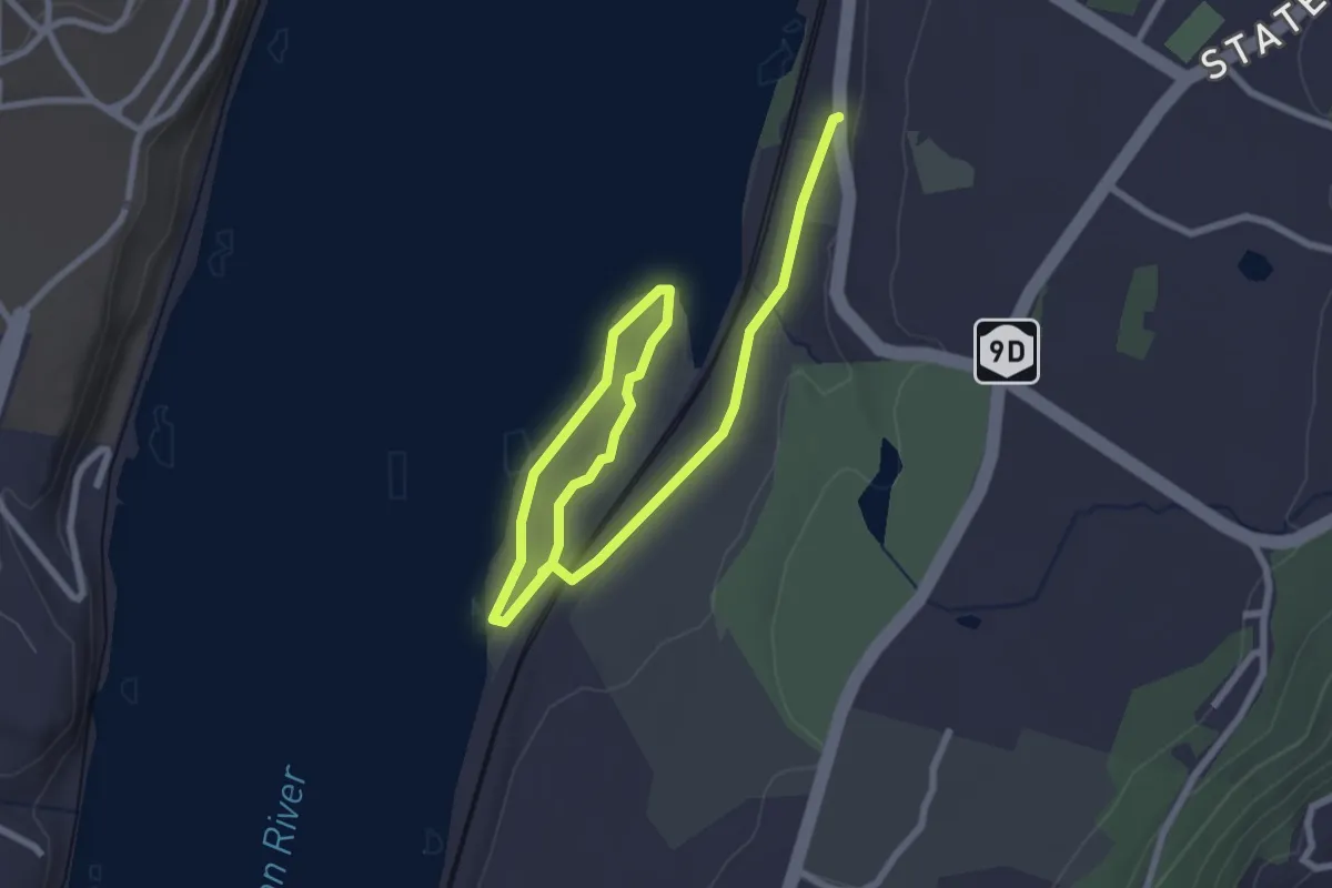
Easy · Trail
Arden Point Trail
4.4 km · ↑ 61 m · 1 h 10 min
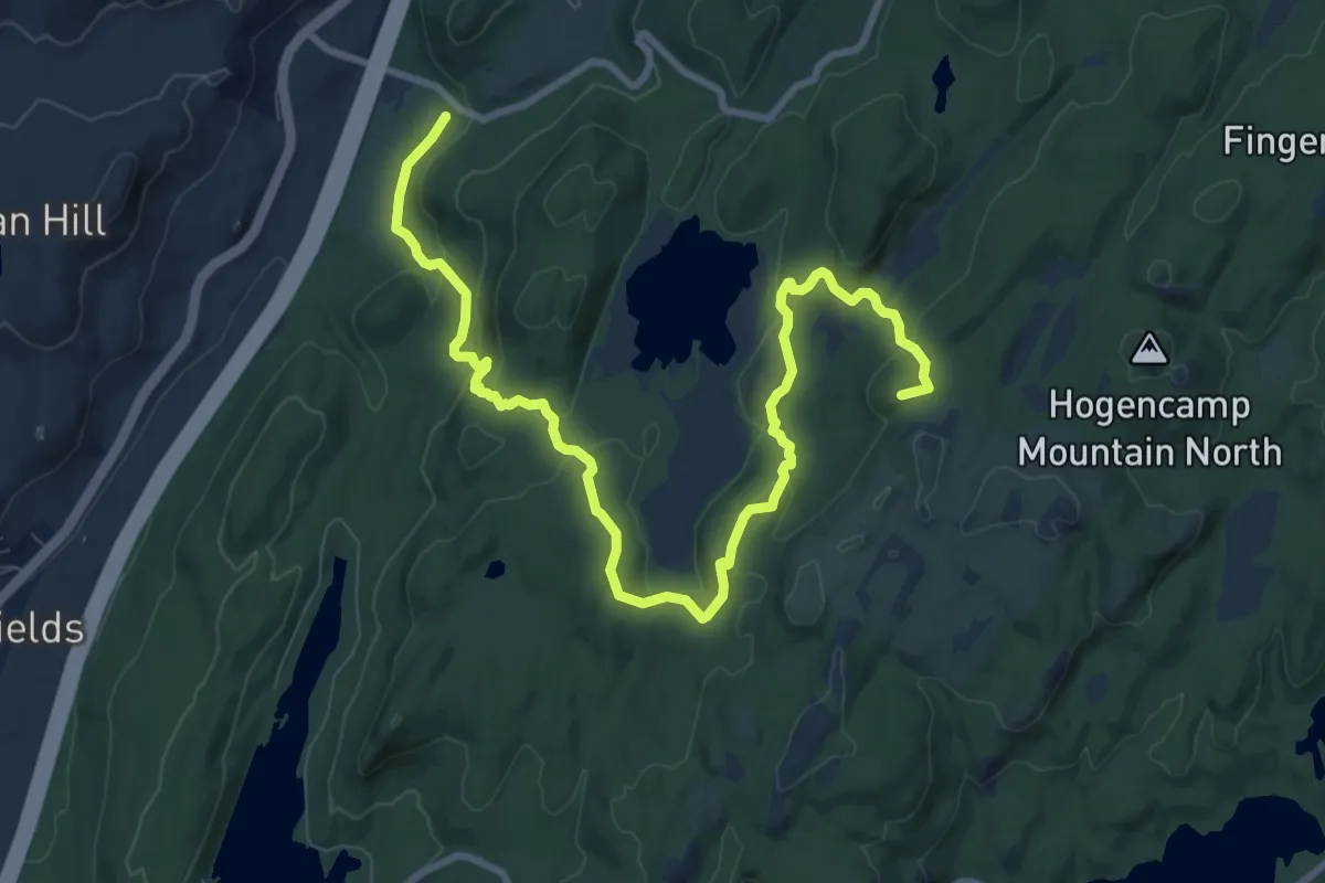
Medium · Summit
Arden - Surebridge Trail
12.1 km · ↑ 500 m · 3 h 56 min
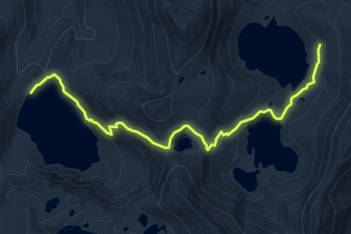
Medium · Trail
Ardeth Lake Trail
7.7 km · ↑ 367 m · 2 h 36 min
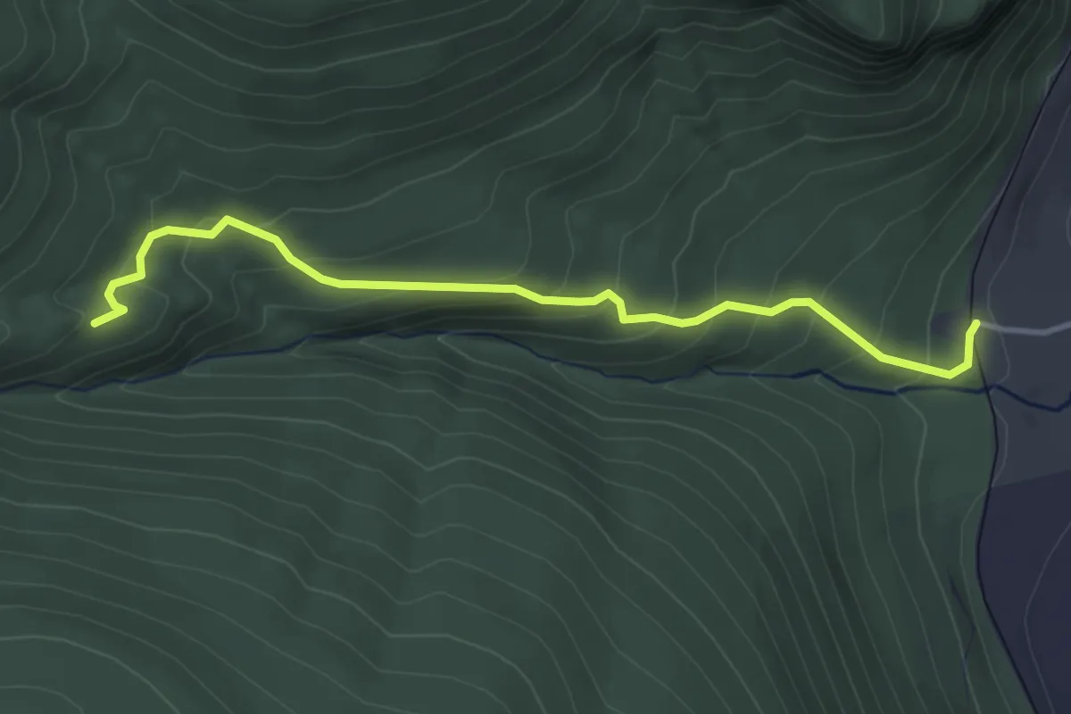
Easy · Trail
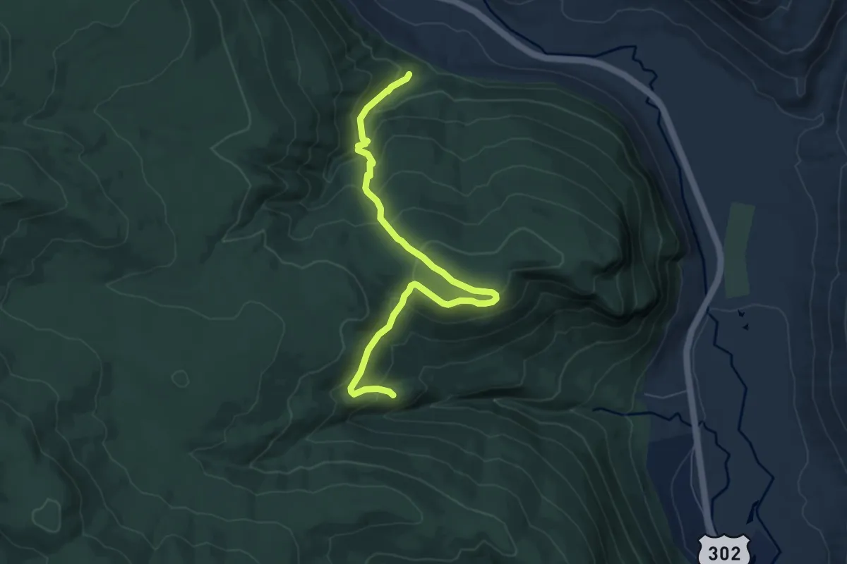
Arethusa Falls Trail
3.9 km · ↑ 260 m · 1 h 29 min
Medium · Trail
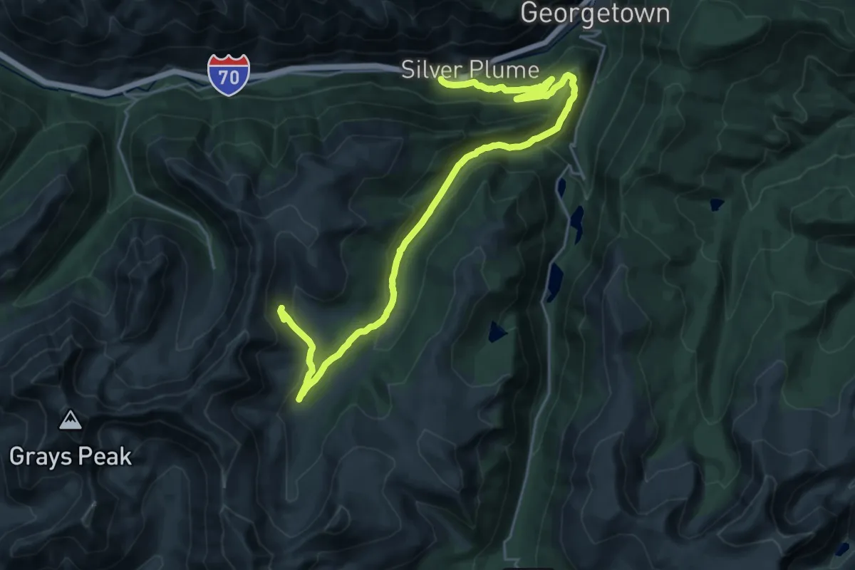
Arethusa-Ripley Falls Trail
7.7 km · ↑ 544 m · 3 h
Demanding · Trail
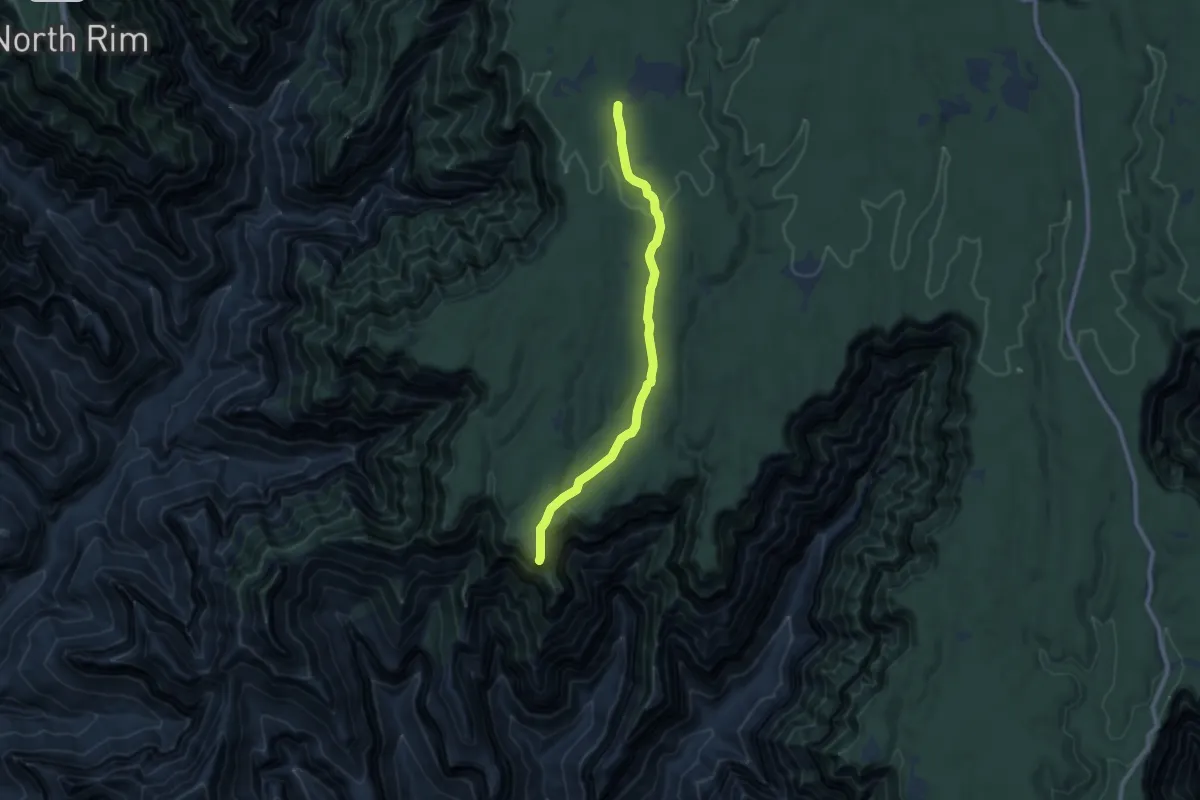
Argentine Central Railroad Grade Trail
16.0 km · ↑ 976 m · 5 h 40 min
Medium · Trail
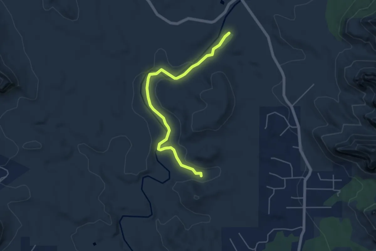
Ariel Point Trail
10.0 km · ↑ 141 m · 2 h 40 min
Easy · Trail
Arizona Cypress #203
5.4 km · ↑ 30 m · 1 h 21 min
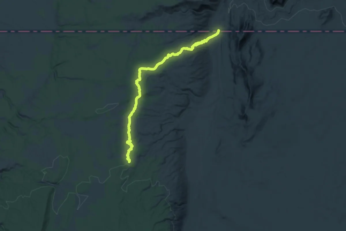
Medium · Trail
Arizona Trail
16.9 km · ↑ 628 m · 5 h 21 min
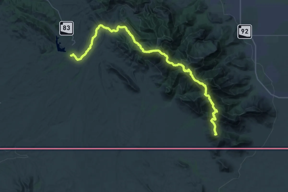
Demanding · Summit
Arizona Trail #1 Huachuca Mountains
60.0 km · ↑ 2717 m · 20 h 3 min
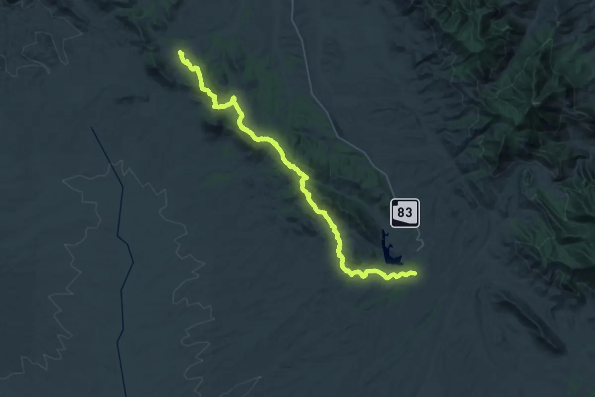
Demanding · Trail
Arizona Trail #2 Canelo Hills East
21.5 km · ↑ 648 m · 6 h 49 min
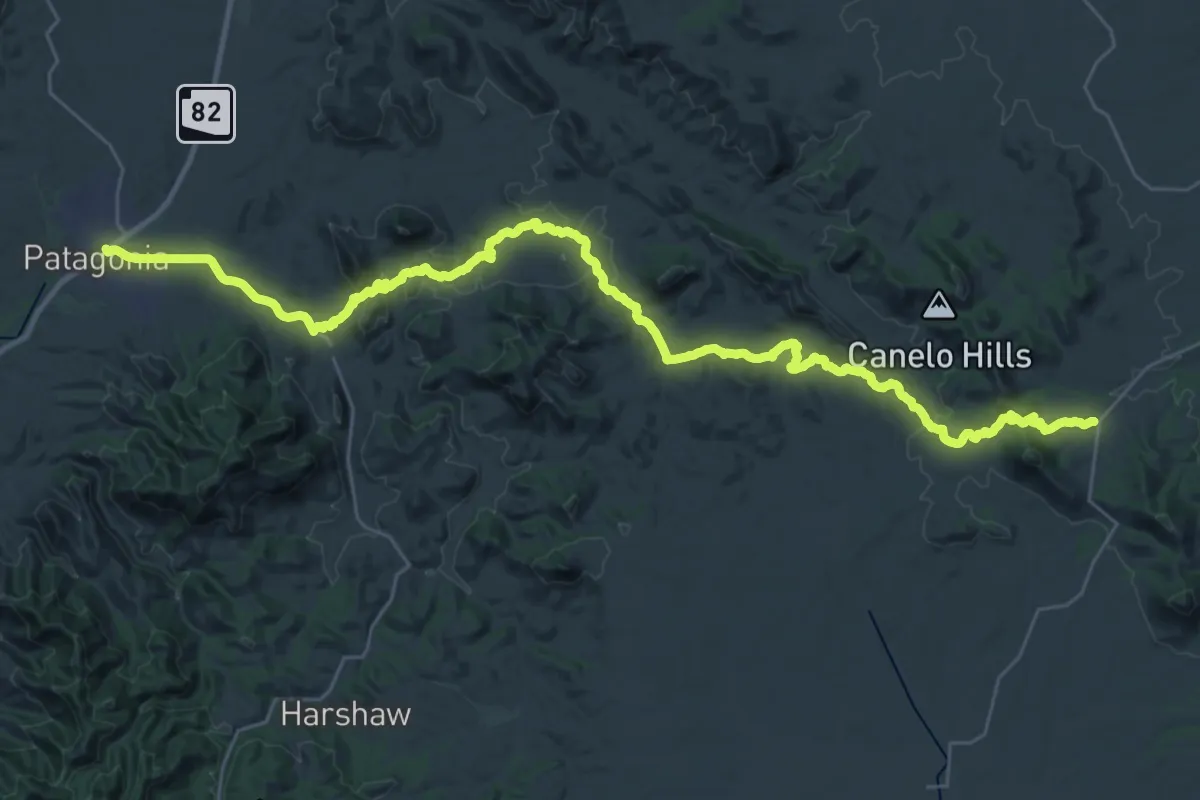
Demanding · Trail
Arizona Trail #3 Canelo Hills Wast
25.8 km · ↑ 344 m · 7 h 24 min
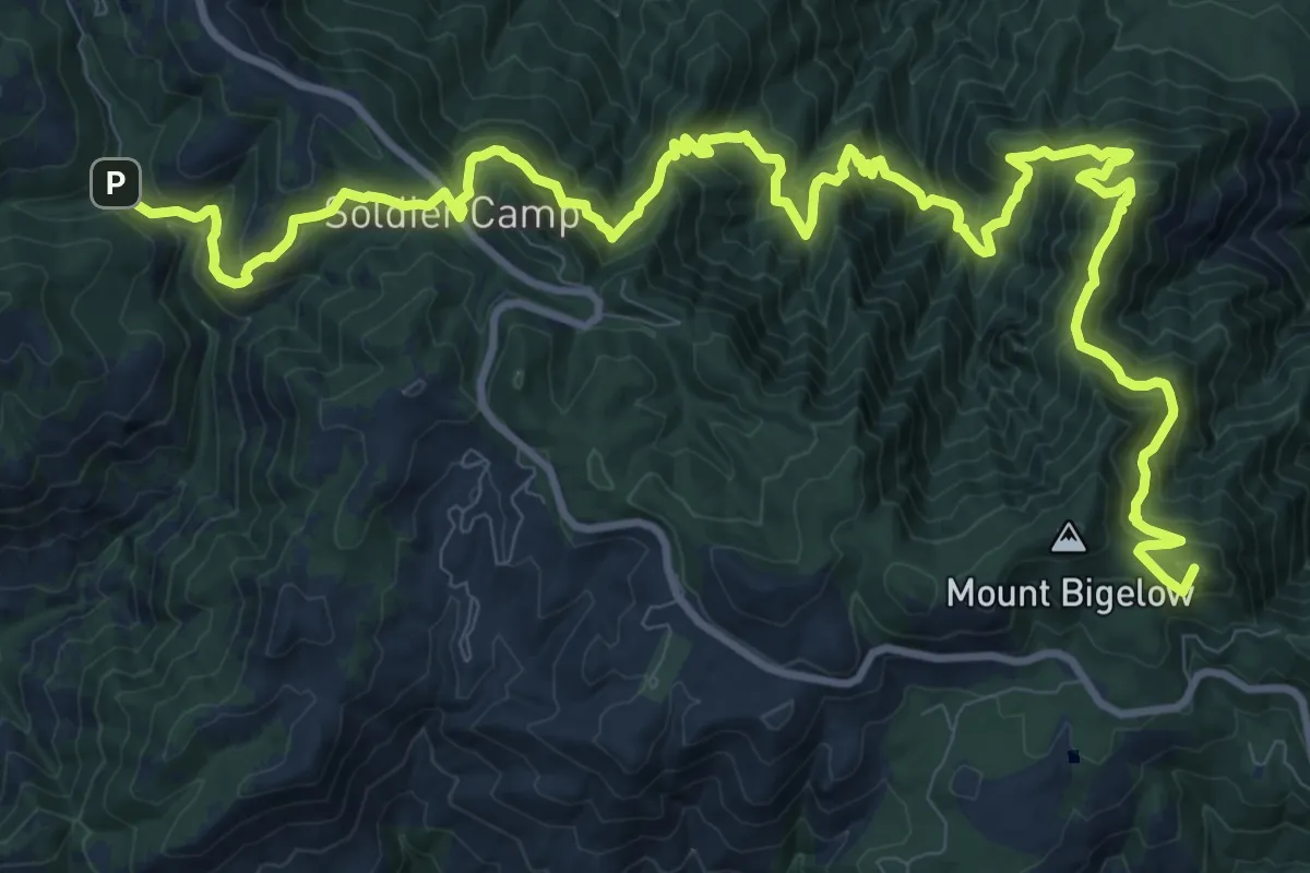
Demanding · Summit
Arizona Trail Pusch Ridge Wilderness Bypass
20.1 km · ↑ 1315 m · 7 h 36 min
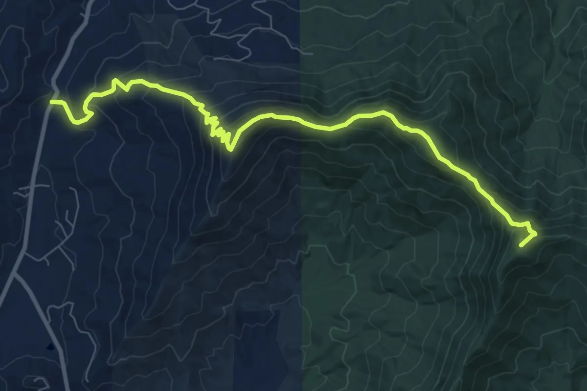
Demanding · Summit
Arkaquah Trail
10.1 km · ↑ 830 m · 4 h 11 min
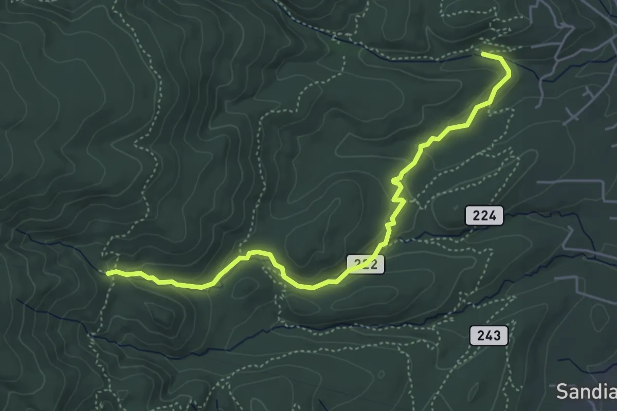
Easy · Trail
Armijo Trail
5.8 km · ↑ 218 m · 1 h 51 min
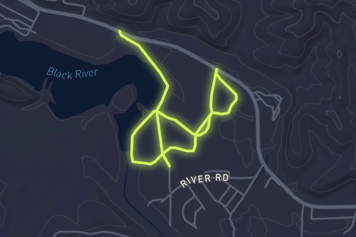
Easy · Trail
Army Corp of Engineers
6.7 km · ↑ 8 m · 1 h 36 min
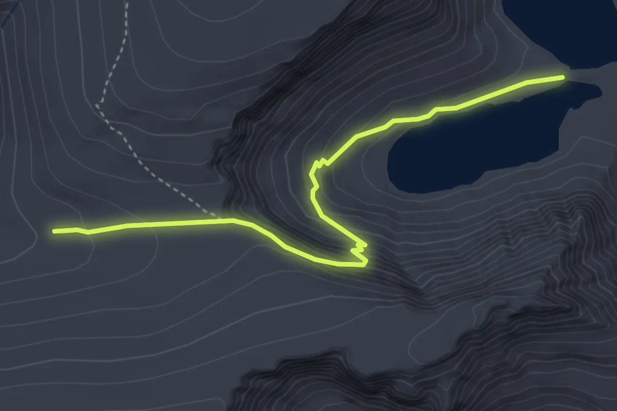
Medium · Trail
Army Pass Trail
4.8 km · ↑ 321 m · 1 h 50 min
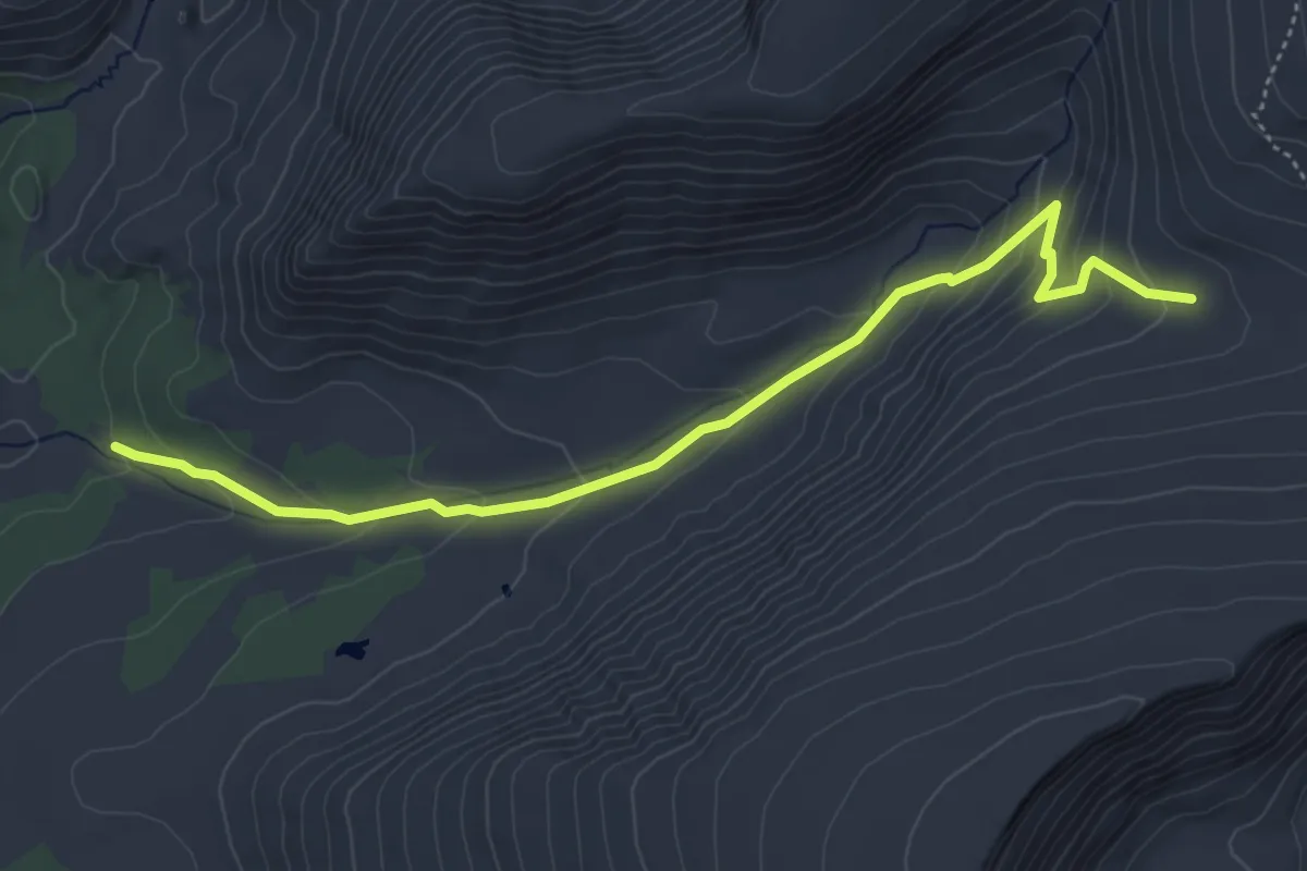
Easy · Trail
Army Pass Trail
5.9 km · ↑ 286 m · 2 h 1 min
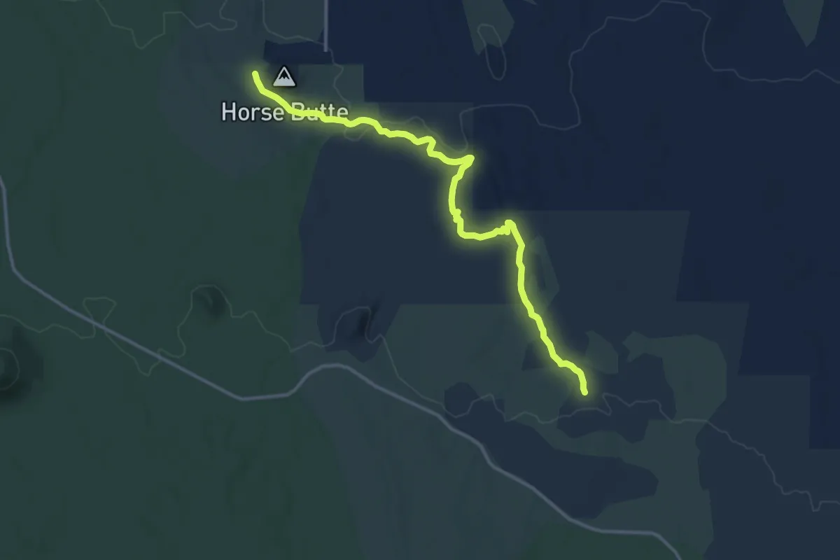
Medium · Trail
Arnold Ice Cave Trail Number 63
13.8 km · ↑ 152 m · 3 h 35 min
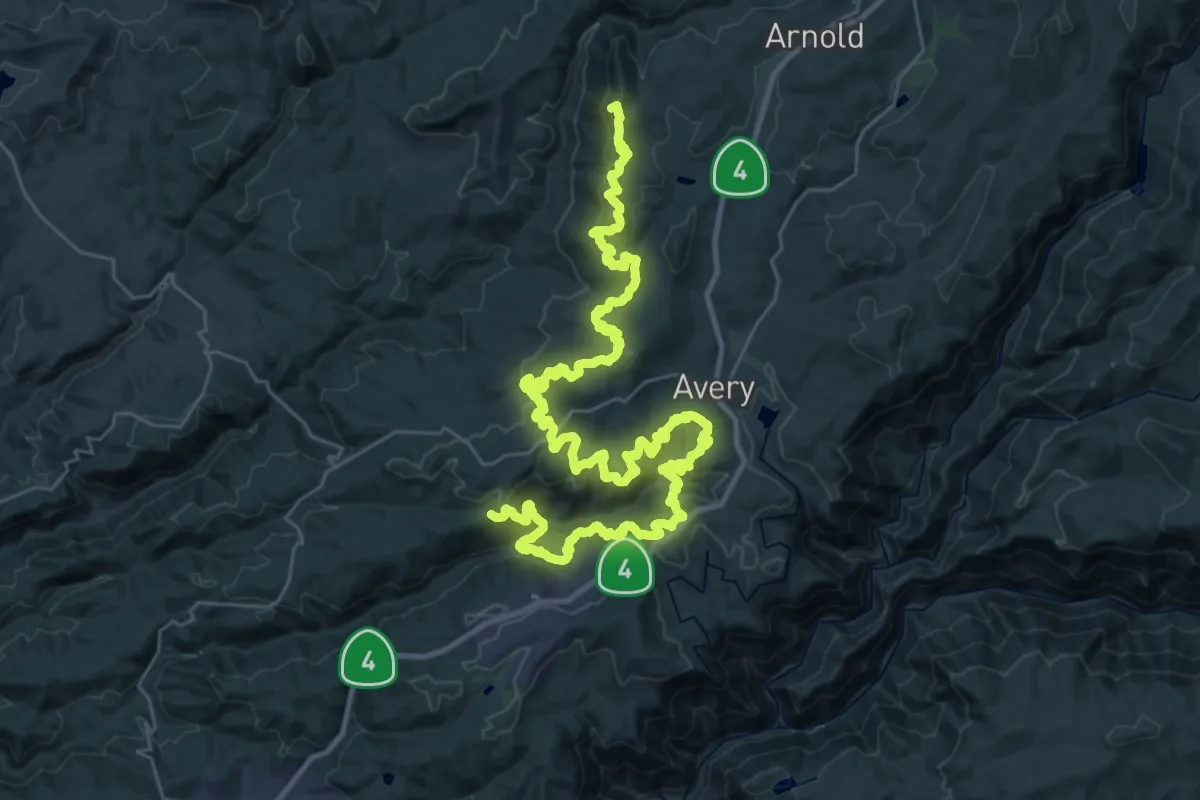
Demanding · Summit
Arnold Rim Trail
55.8 km · ↑ 2225 m · 18 h
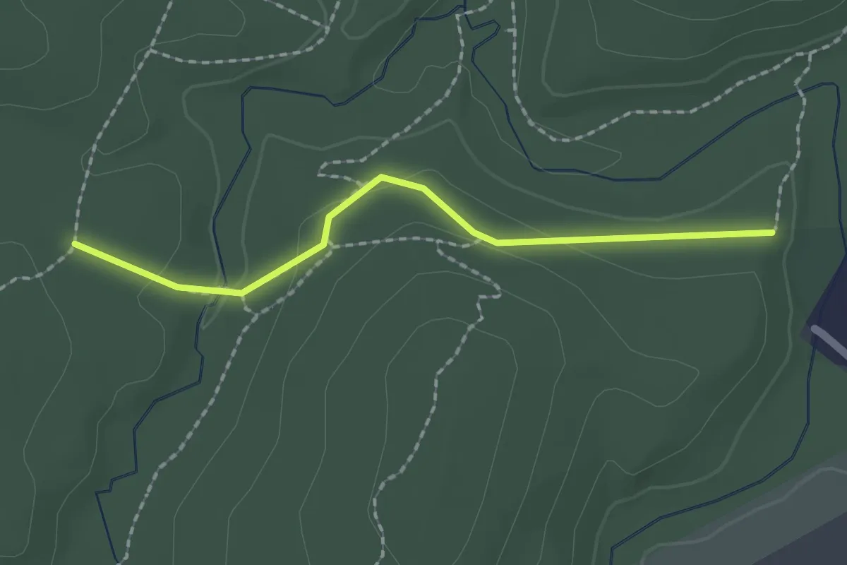
Easy · Trail
Arnold Trail
2.0 km · ↑ 42 m · 34 min
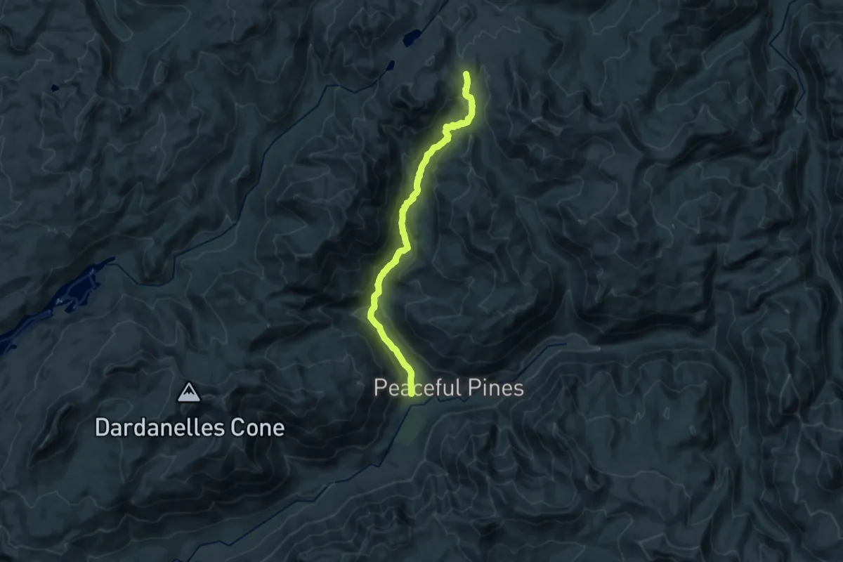
Demanding · Trail
Arnot Creek Trail
22.6 km · ↑ 849 m · 7 h 11 min
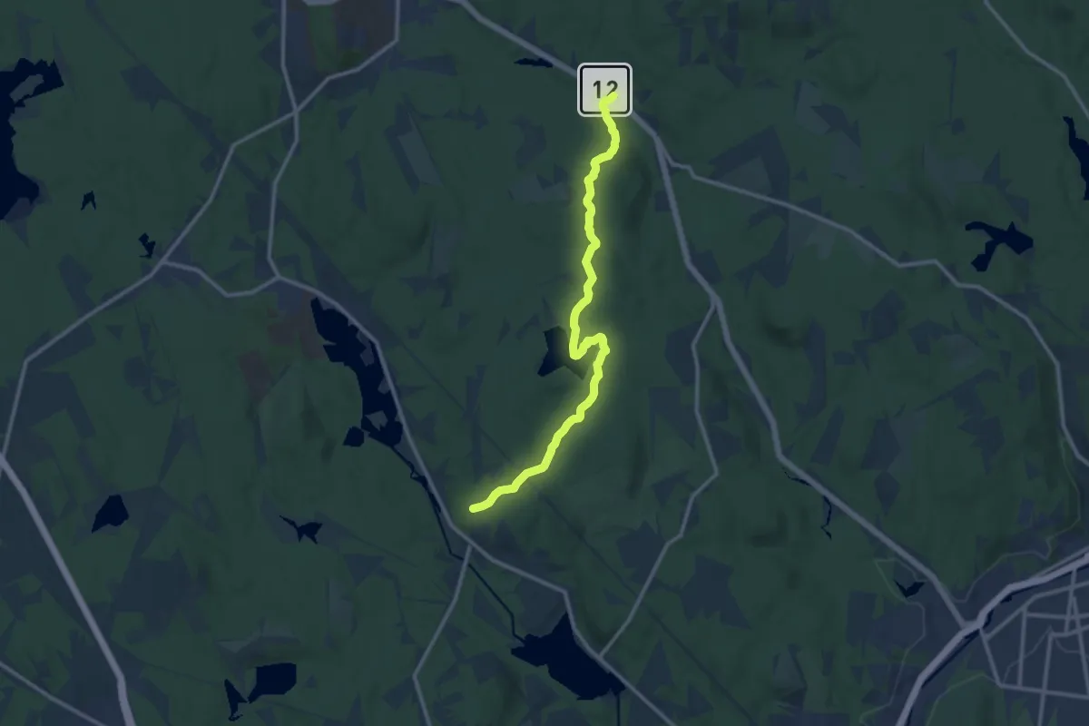
Medium · Trail
Around Muddy Pond
12.3 km · ↑ 149 m · 3 h 14 min
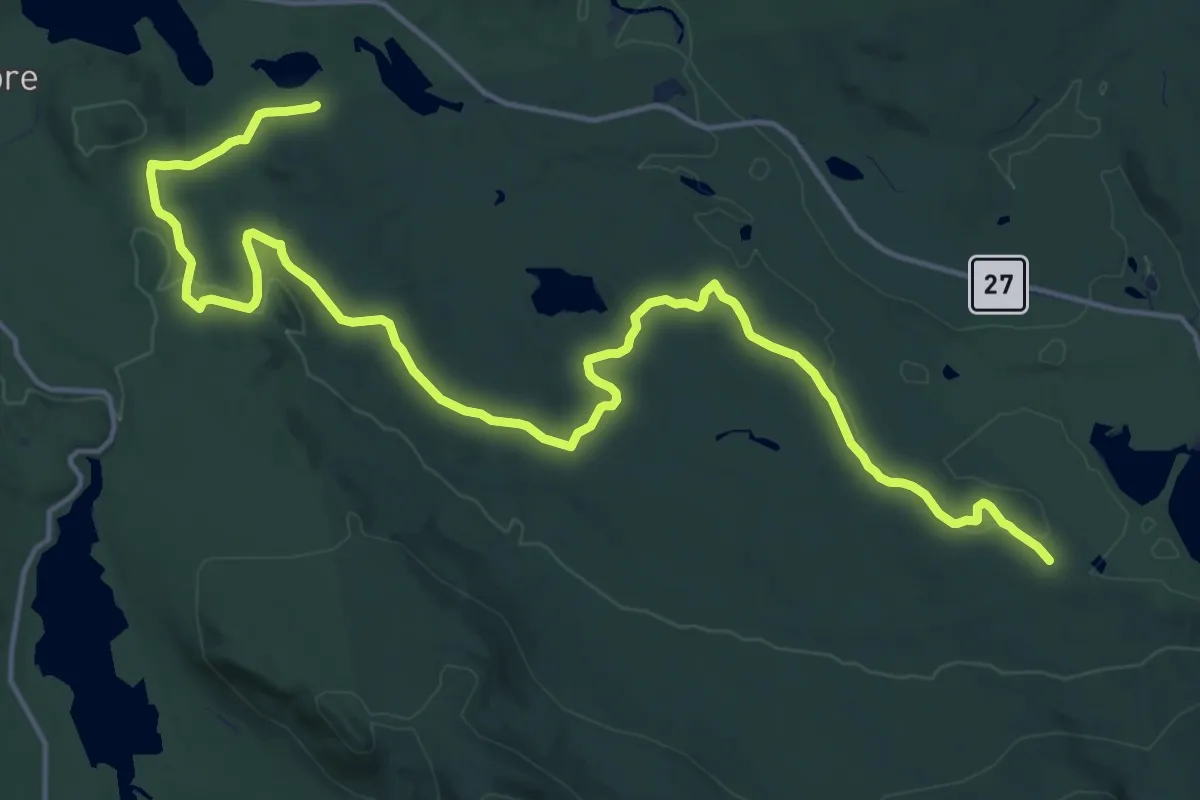
Demanding · Trail
Around Pond Trail
21.8 km · ↑ 220 m · 5 h 37 min
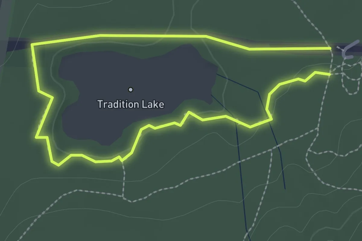
Easy · Trail
Around the Lake Trail
2.1 km · ↑ 5 m · 33 min
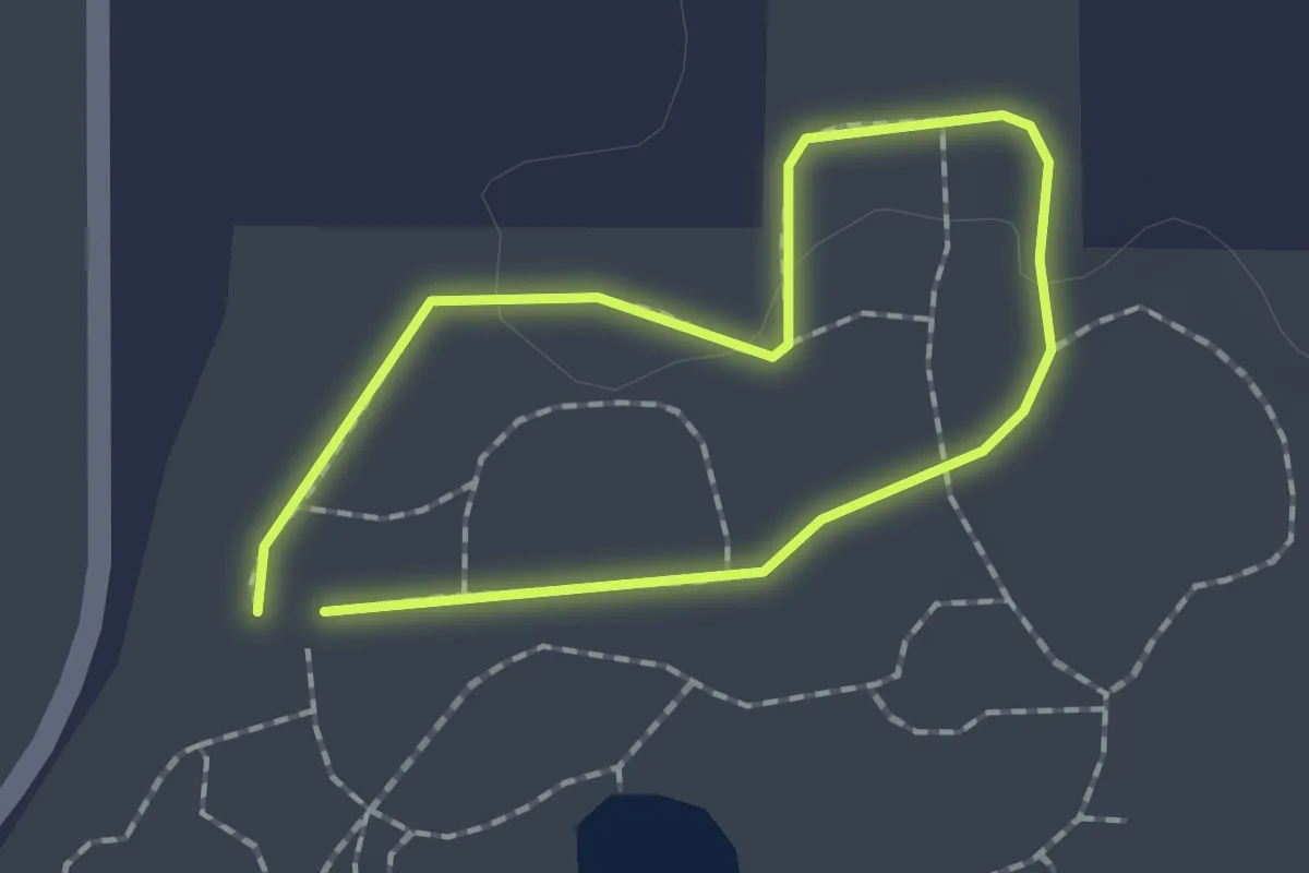
Easy · Trail
Arrowhead
1.4 km · ↑ 4 m · 21 min
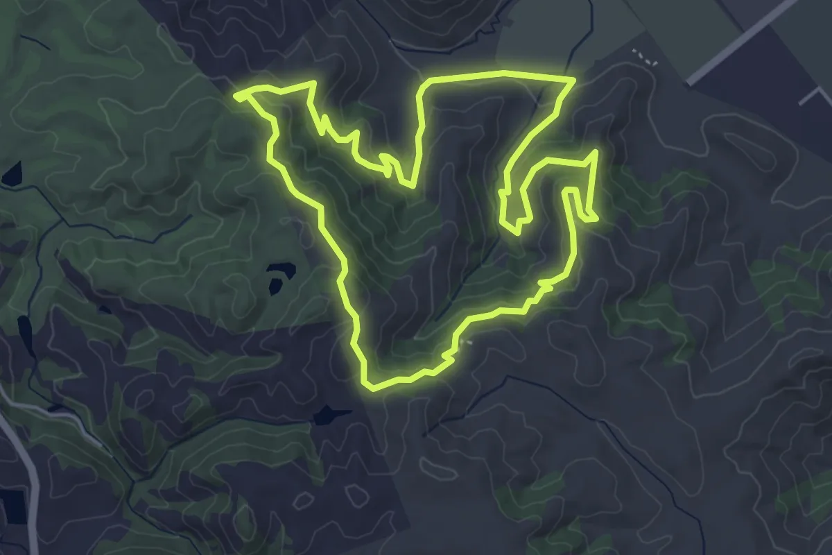
Easy · Trail
Arrowhead Loop Trail
5.5 km · ↑ 195 m · 1 h 48 min
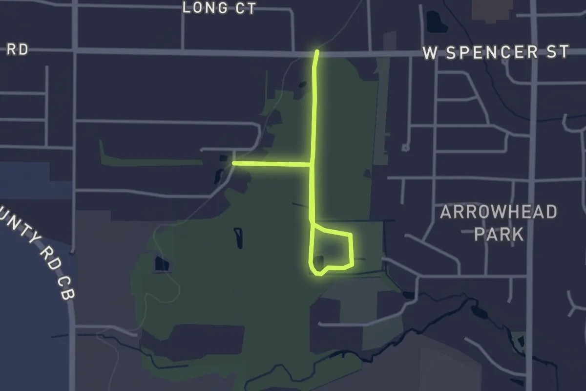
Easy · Trail
Arrowhead Park Trail
3.4 km · ↑ 4 m · 48 min