Trails in United States
10,332 hiking trails, each with its route, climb, walking time and grade.
All trails, page 7 of 216
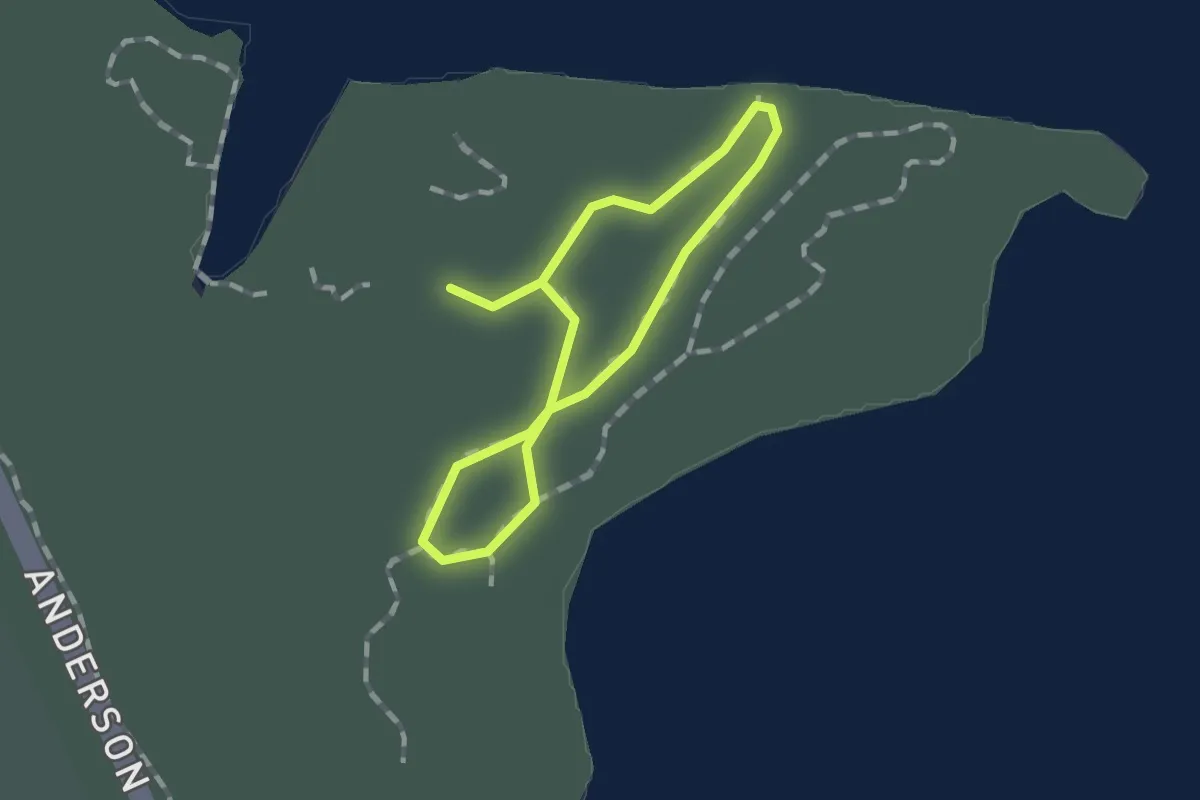
Easy · Trail
Arrowhead Self-Guided Nature Trail
1.1 km · ↑ 0 m · 16 min
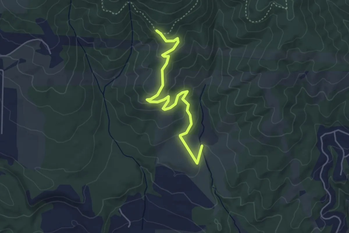
Easy · Trail
Arrowleaf West
4.1 km · ↑ 145 m · 1 h 16 min
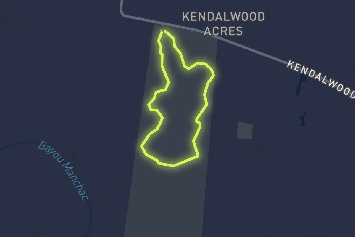
Easy · Trail
Arrowwod Trail
1.7 km · ↑ 0 m · 25 min
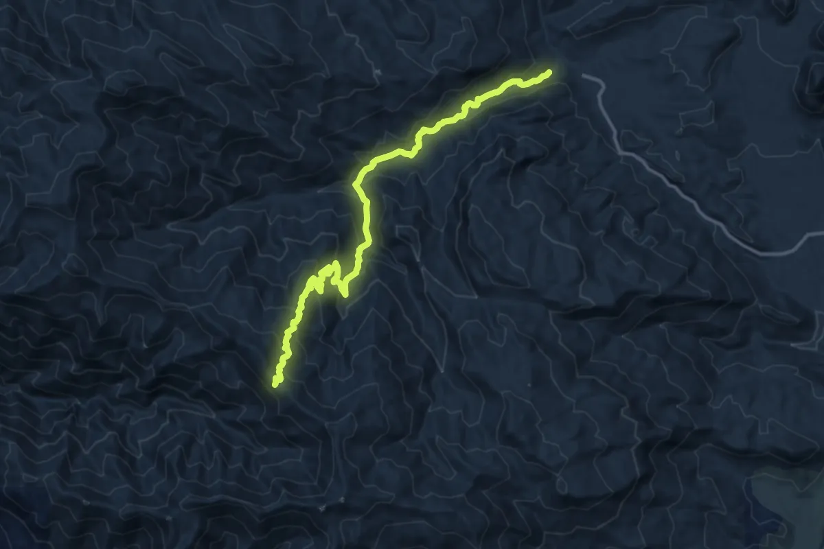
Medium · Trail
Arroyo Seco Trail
14.7 km · ↑ 799 m · 5 h 12 min
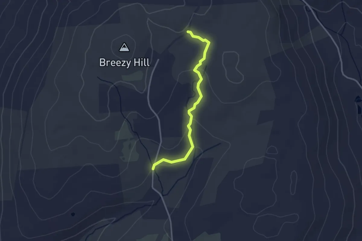
Easy · Trail
Arthur and Eunice Sweeton Trail
2.9 km · ↑ 84 m · 51 min
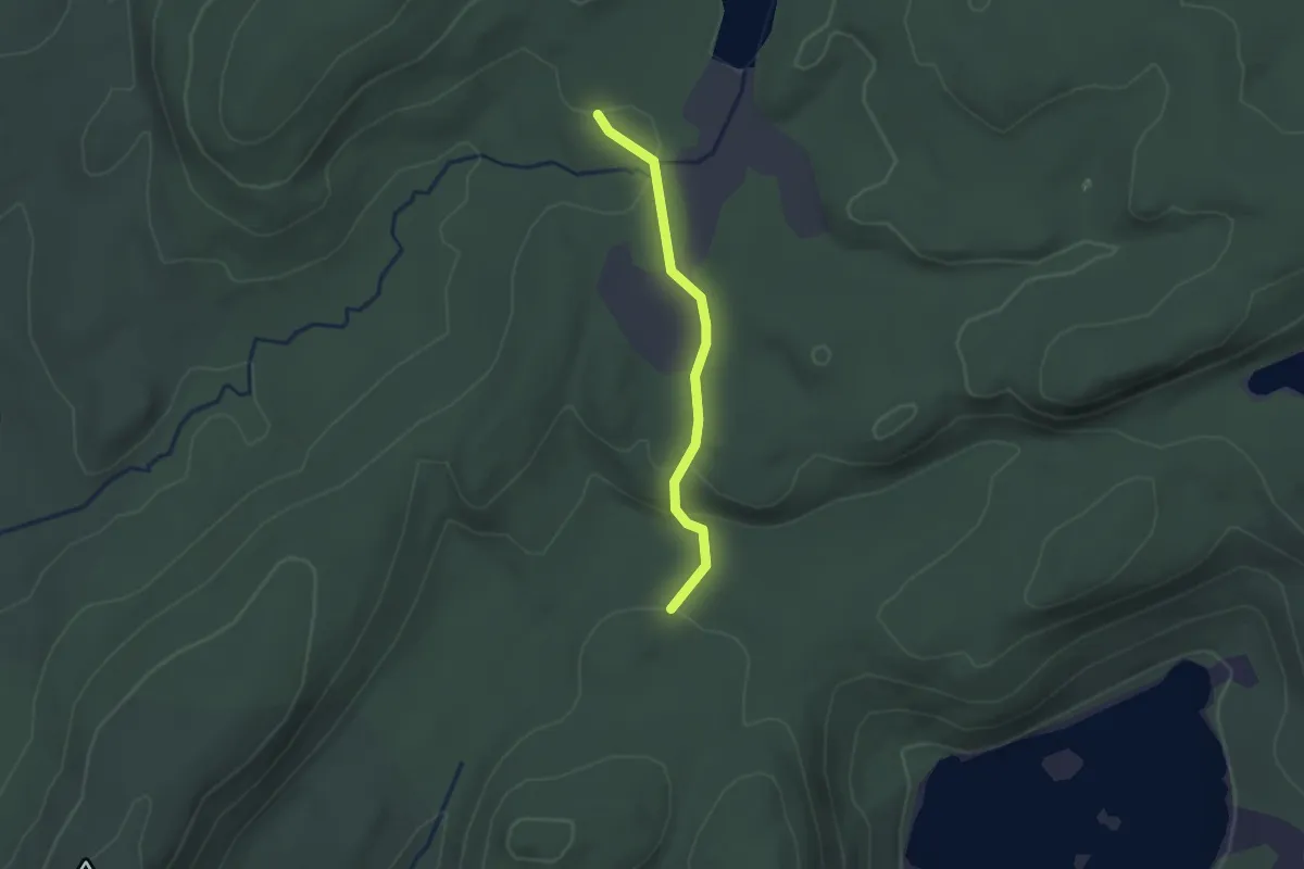
Easy · Trail
Arthur Trail
2.0 km · ↑ 32 m · 33 min
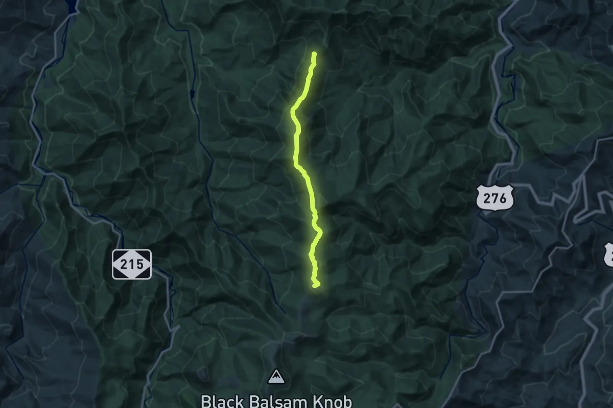
Medium · Summit
Art Loed Trail
13.0 km · ↑ 559 m · 4 h 16 min
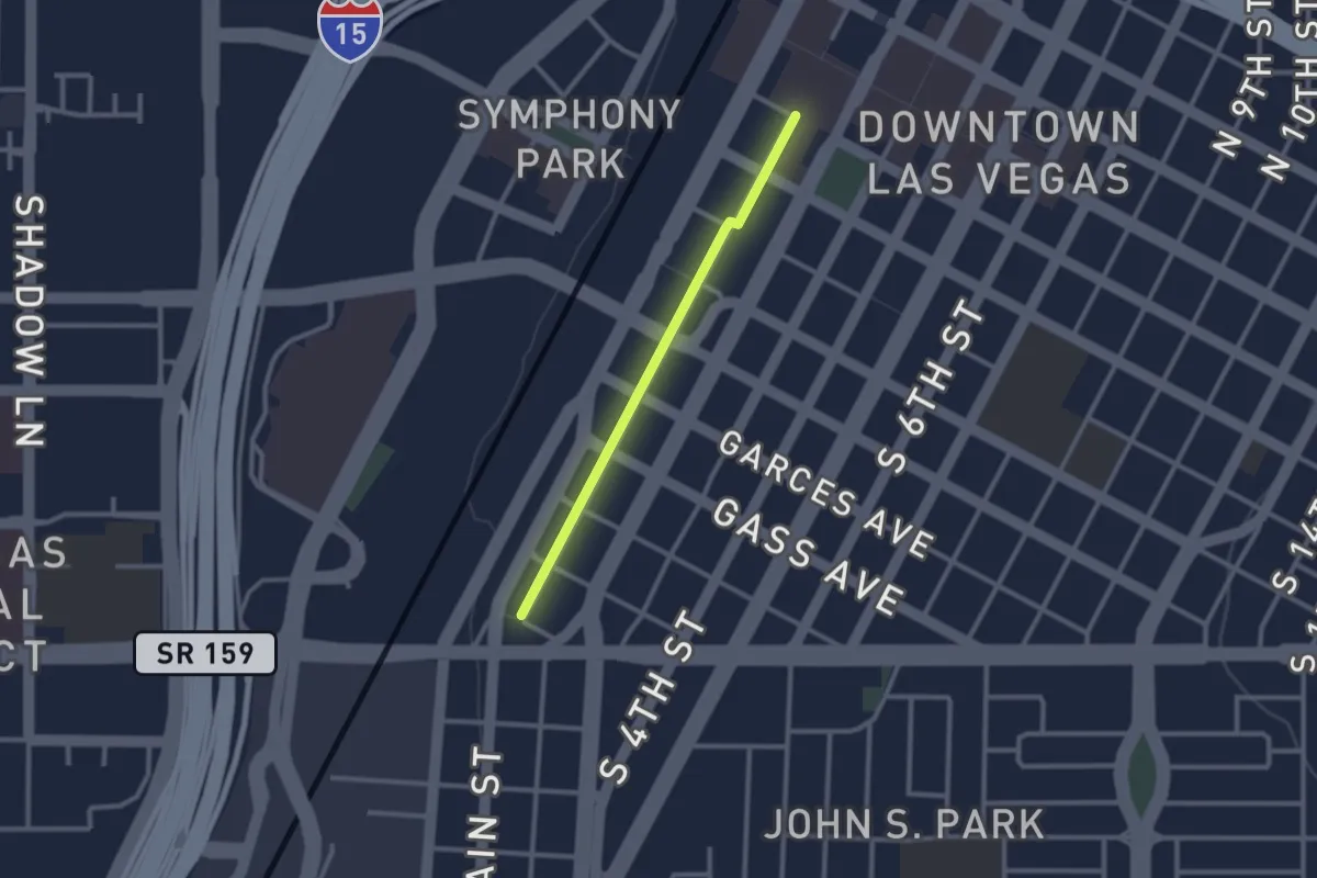
Easy · Trail
Arts Trail
2.7 km · ↑ 0 m · 38 min
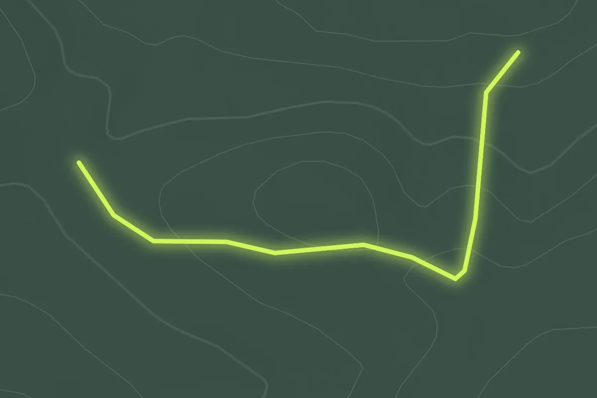
Easy · Trail
Asa Durst Pink Trail
2.0 km · ↑ 51 m · 35 min
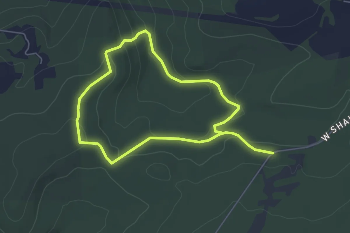
Medium · Trail
Asa Durst Red Trail
8.7 km · ↑ 201 m · 2 h 29 min
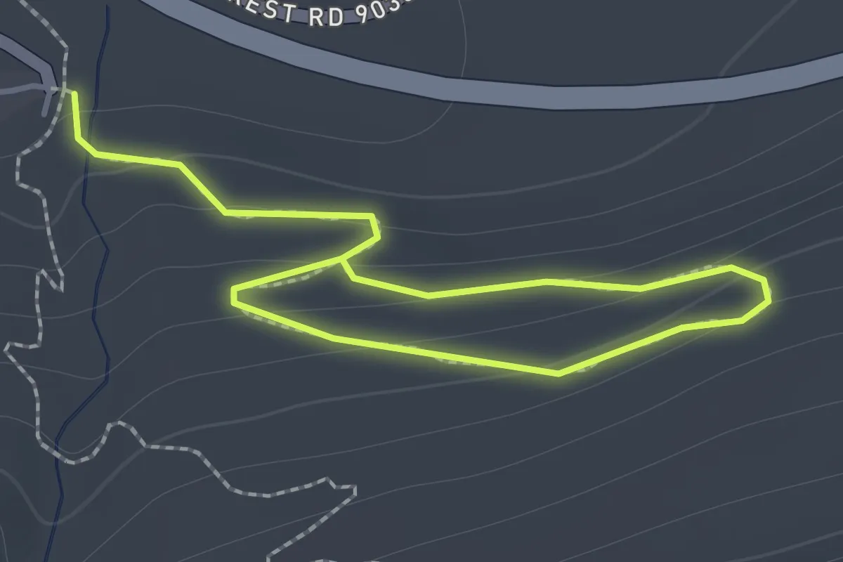
Easy · Trail
Asahel Curtis Nature Trail
2.0 km · ↑ 114 m · 43 min
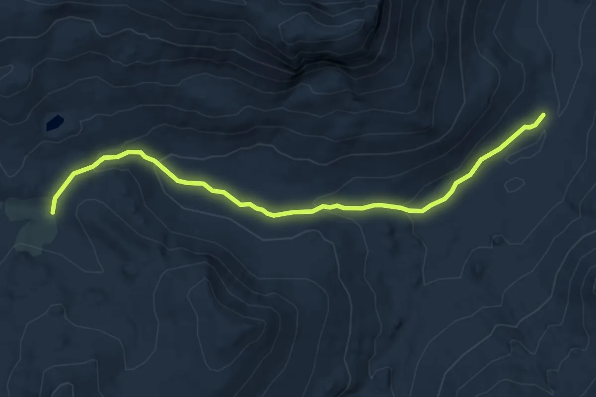
Easy · Trail
Asa Lake Trail
7.2 km · ↑ 240 m · 2 h 14 min
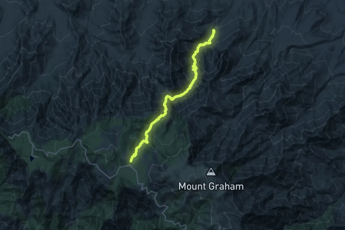
Demanding · Trail
Ash Creek Trail #307
10.6 km · ↑ 1542 m · 5 h 15 min
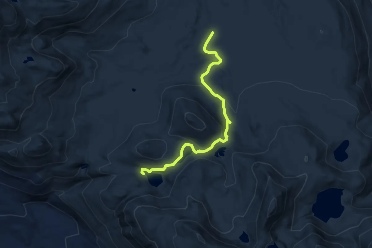
Medium · Trail
Ashland Lakes Trail
8.2 km · ↑ 255 m · 2 h 30 min
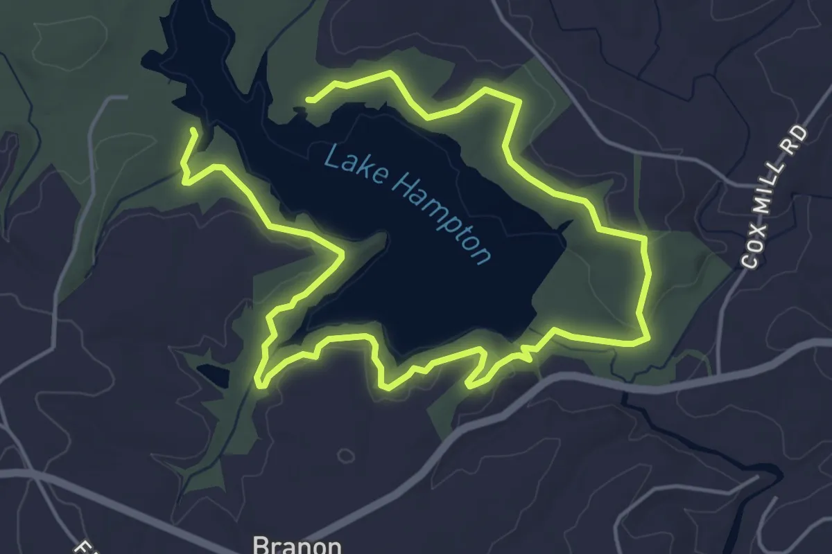
Medium · Trail
Ashley-Ladd Trail
9.7 km · ↑ 132 m · 2 h 34 min
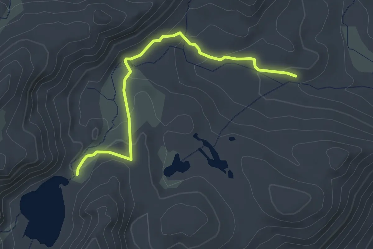
Easy · Trail
Ashley Lake Trail
3.6 km · ↑ 157 m · 1 h 11 min
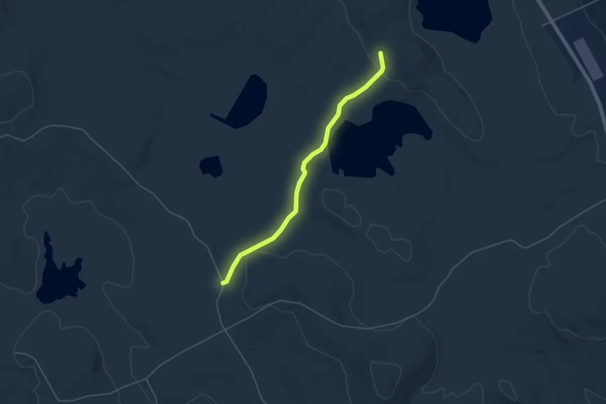
Easy · Trail
Ashley Trail
4.5 km · ↑ 108 m · 1 h 18 min
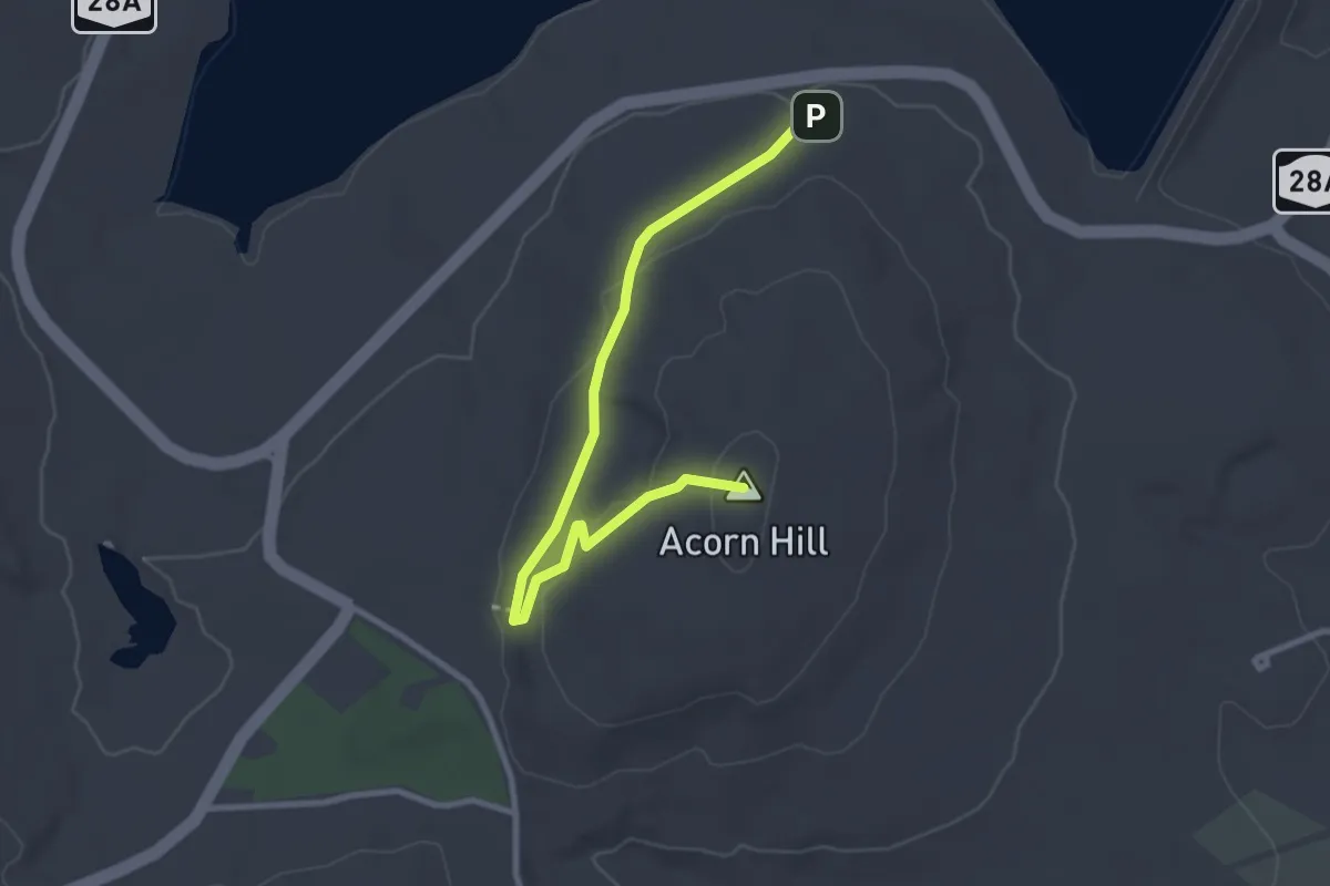
Easy · Summit
Ashokan Quarry Trail
3.3 km · ↑ 71 m · 56 min
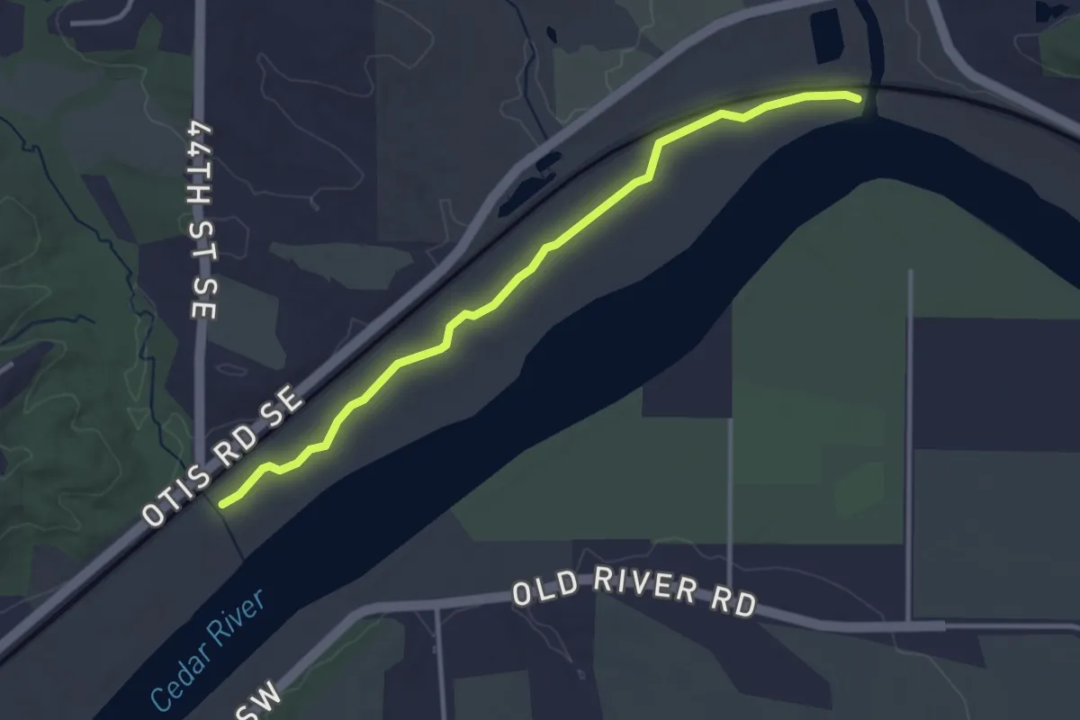
Easy · Trail
Ash Singletrack Trail
3.7 km · ↑ 0 m · 52 min
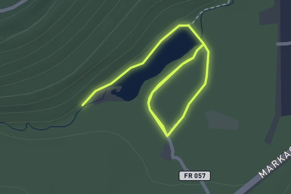
Easy · Trail
Aspen Mirror Trail
2.9 km · ↑ 0 m · 41 min
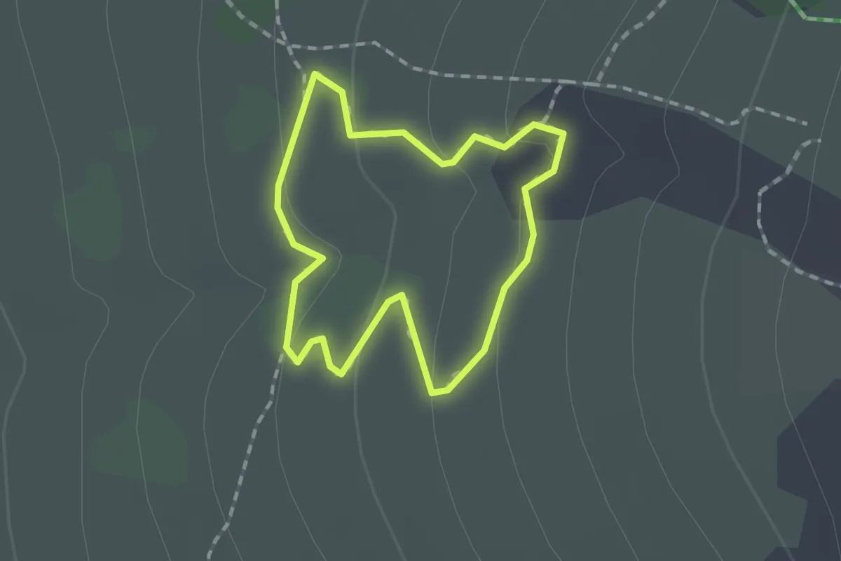
Easy · Trail
Aspen Nature Loop
1.4 km · ↑ 37 m · 26 min
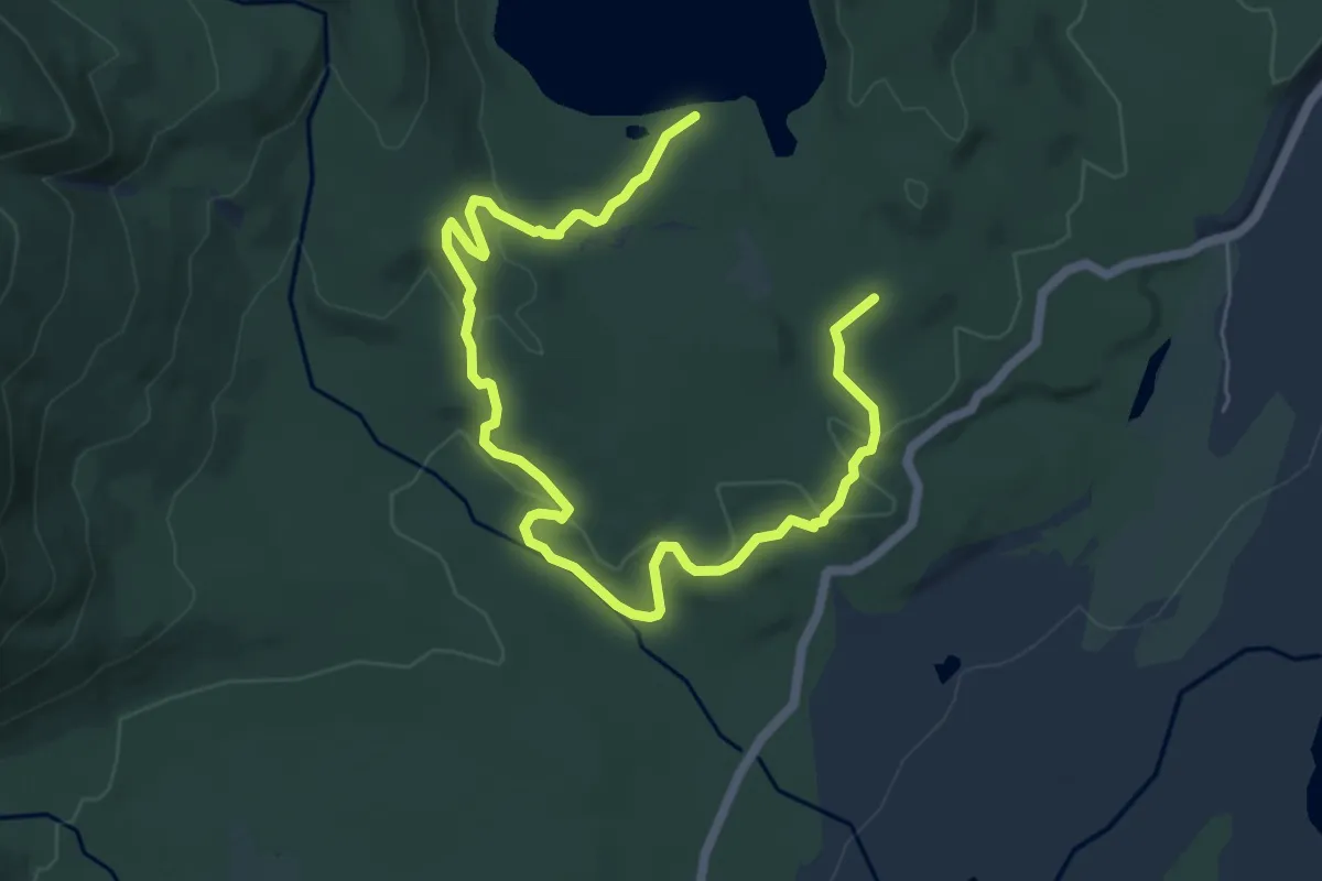
Medium · Trail
Aspen Ridge Trail
8.5 km · ↑ 254 m · 2 h 34 min
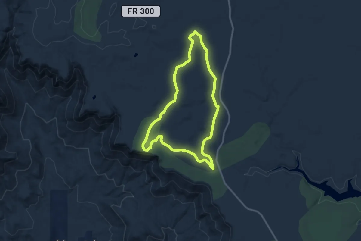
Medium · Trail
Aspen Trail 411
9.0 km · ↑ 71 m · 2 h 24 min
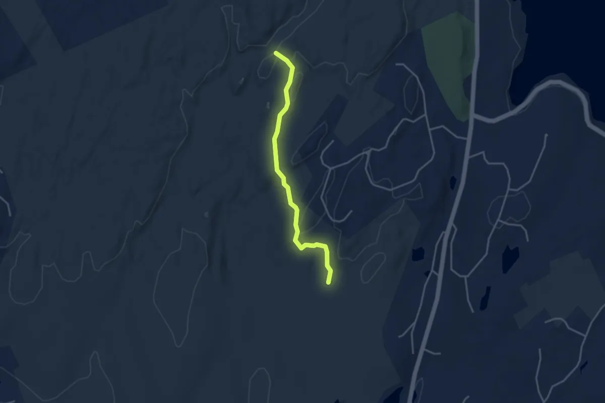
Easy · Trail
Aspetuck Trail
3.6 km · ↑ 43 m · 56 min
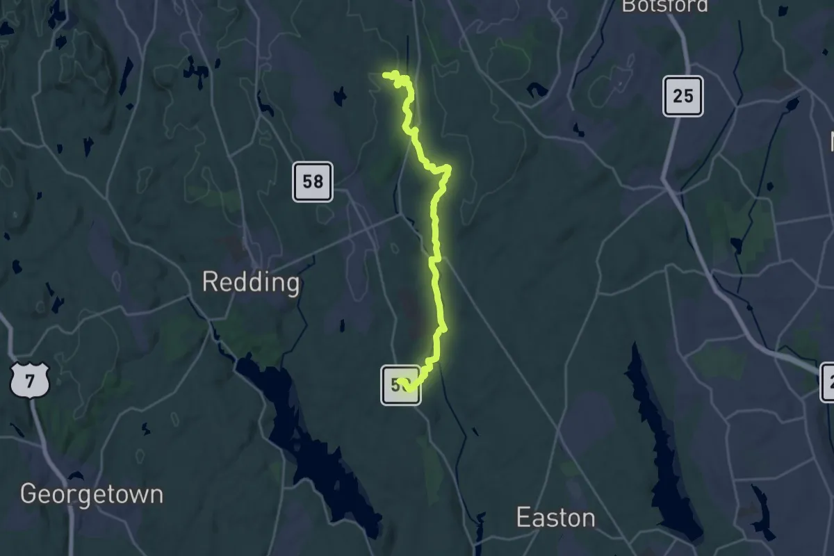
Demanding · Trail
Aspetuck Valley Trail
21.9 km · ↑ 370 m · 5 h 59 min
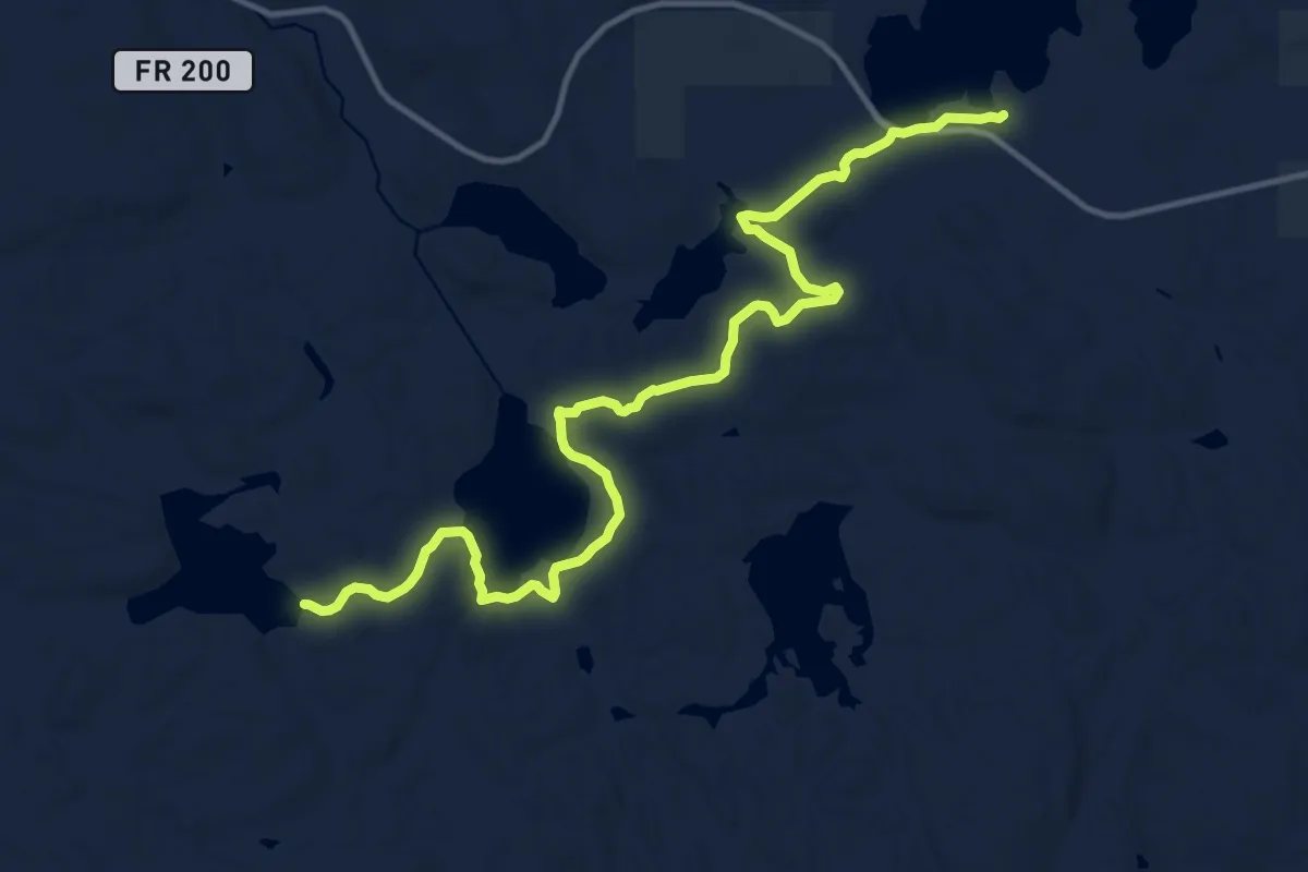
Medium · Trail
Astrid Trail
15.4 km · ↑ 198 m · 4 h 3 min
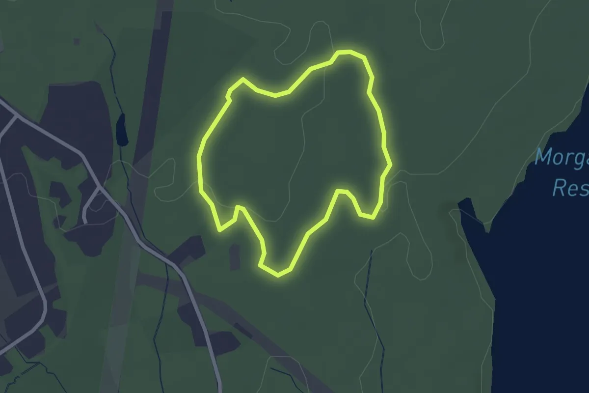
Easy · Trail
Atkinson Blue Trail
2.2 km · ↑ 39 m · 38 min
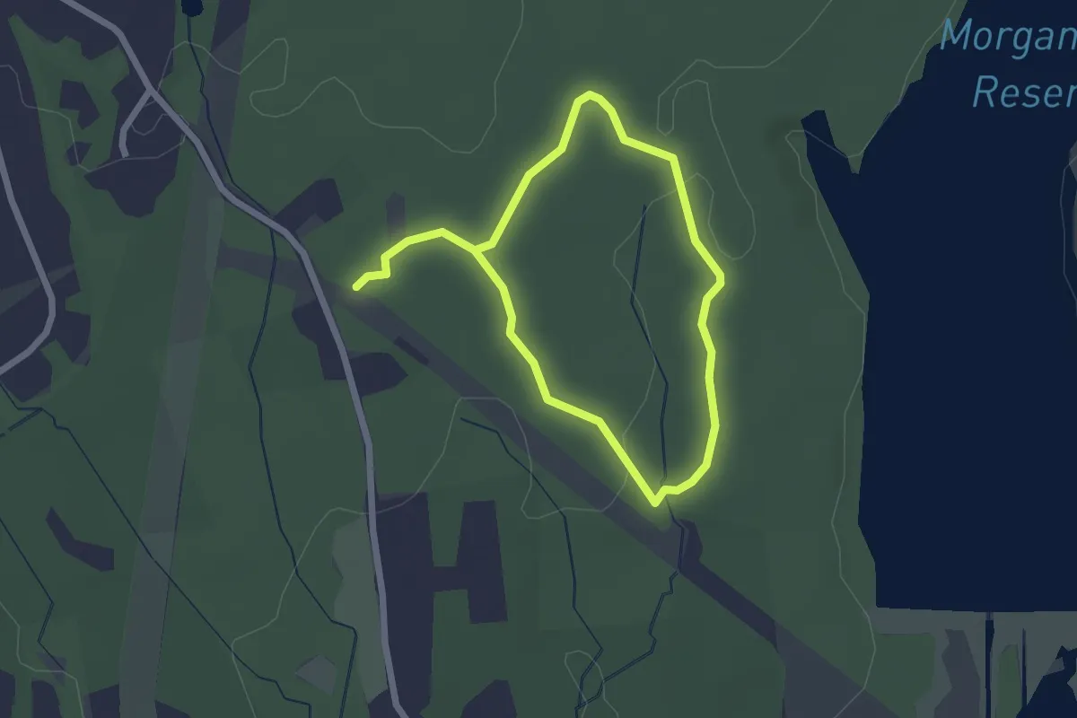
Easy · Trail
Atkinson Red Trail
3.8 km · ↑ 69 m · 1 h 2 min
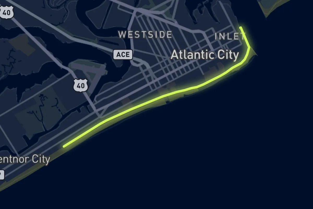
Medium · Trail
Atlantic City Boardwalk
12.0 km · ↑ 403 m · 3 h 43 min
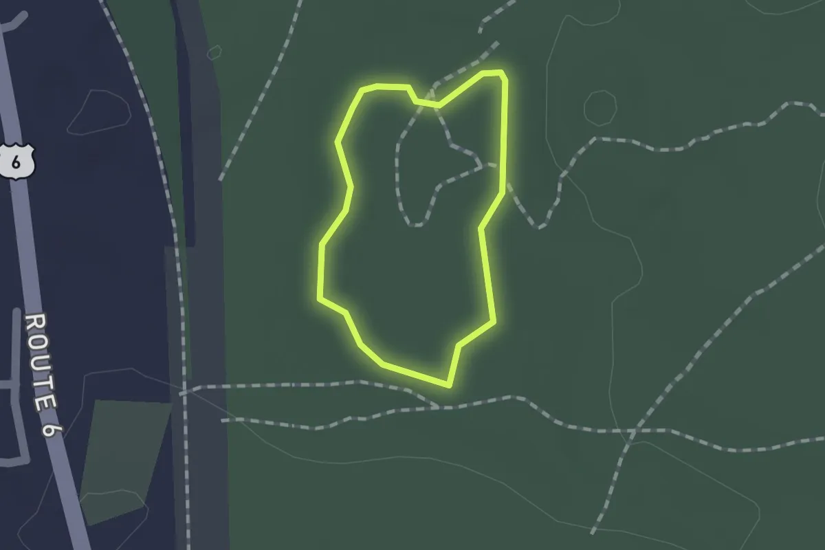
Easy · Trail
Atlantic White Cedar Swamp Trail
1.0 km · ↑ 0 m · 15 min
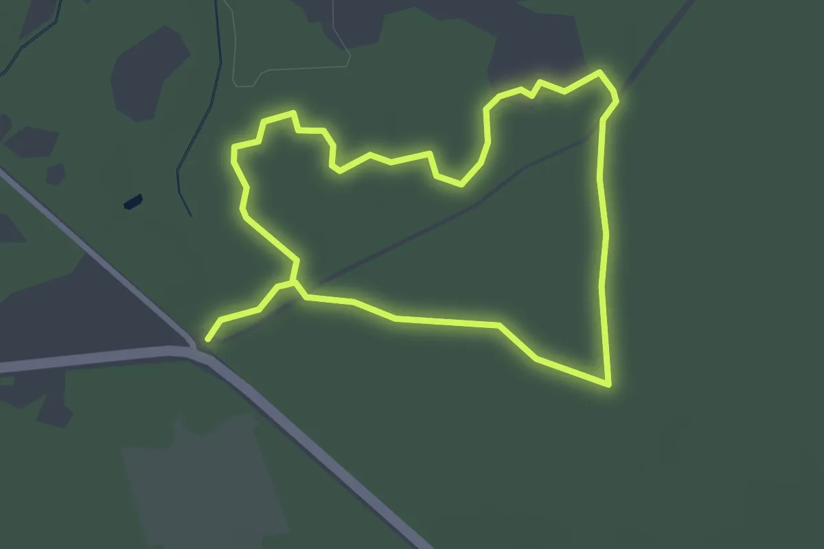
Easy · Trail
Atlantic White Cedar Trail
5.3 km · ↑ 8 m · 1 h 16 min
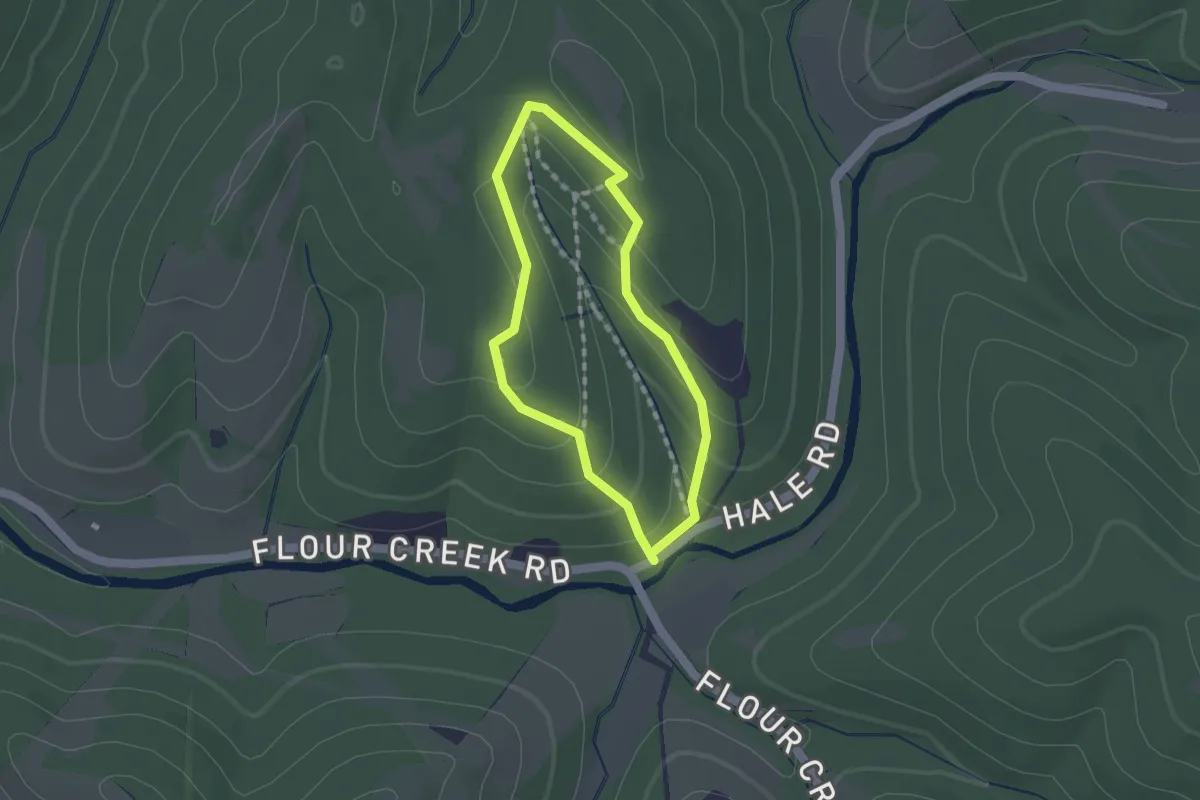
Easy · Trail
A-Trail
1.4 km · ↑ 63 m · 29 min
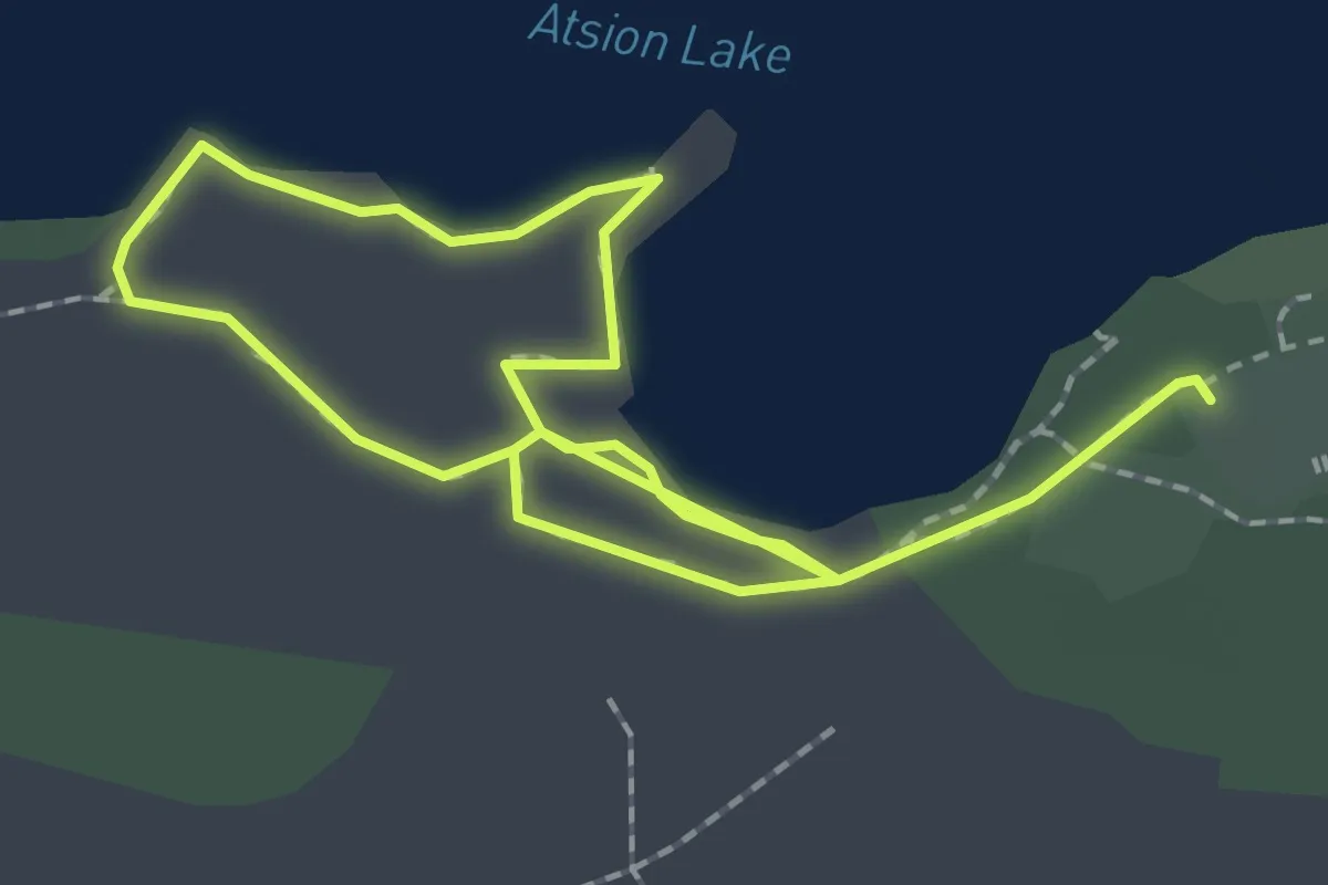
Easy · Trail
Atsion Lake Blue Trail
3.7 km · ↑ 0 m · 52 min
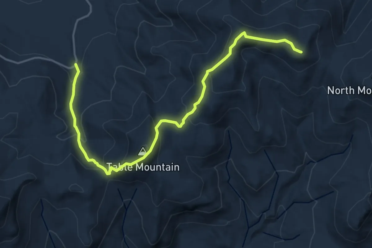
Demanding · Summit
Attitash Trail
13.7 km · ↑ 883 m · 5 h 8 min
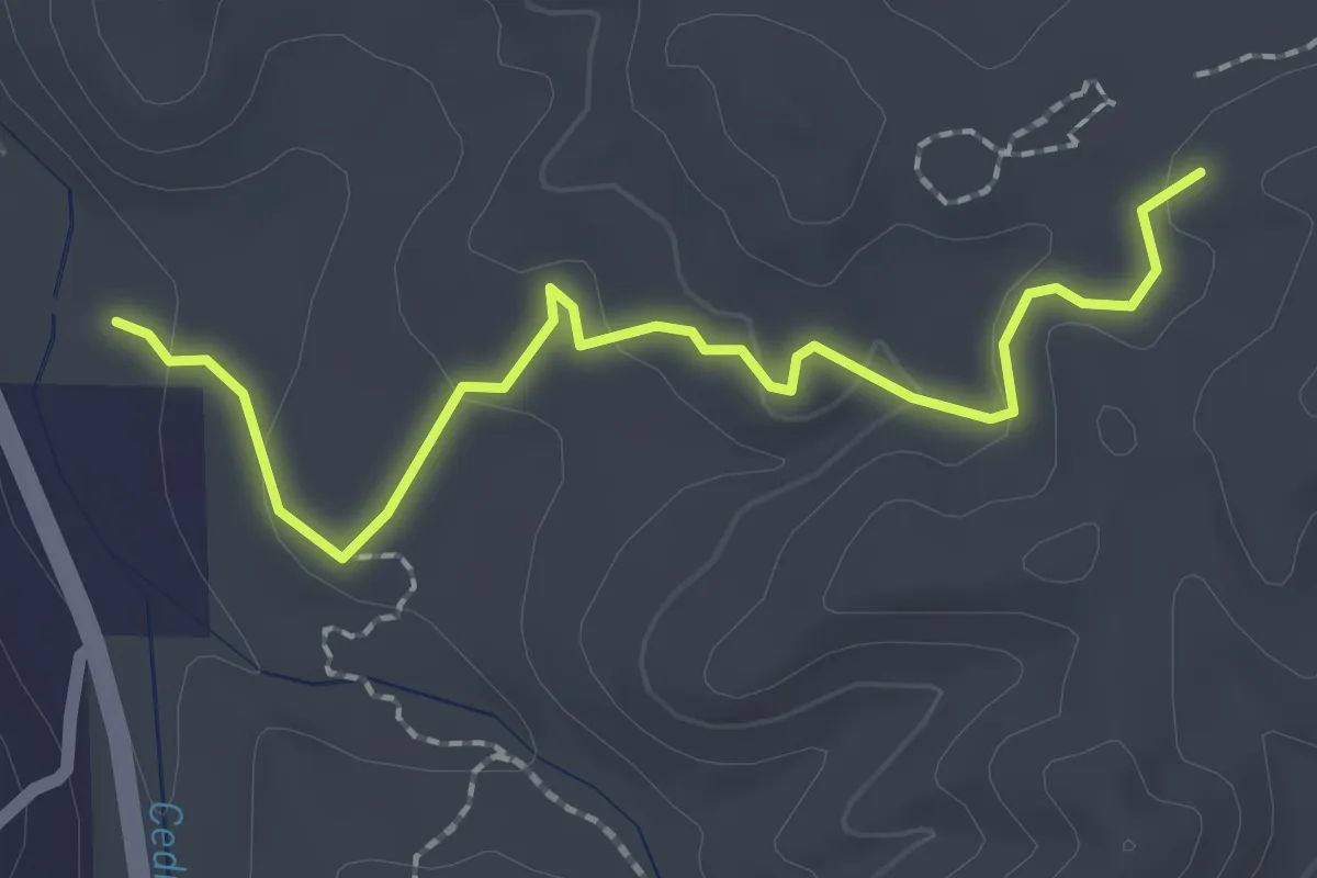
Easy · Trail
ATV Bypass Trail
2.7 km · ↑ 76 m · 48 min
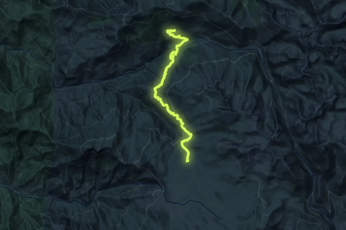
Medium · Trail
Atwell-Hockett Trail
17.0 km · ↑ 399 m · 5 h 25 min
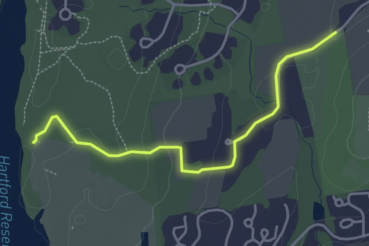
Easy · Trail
Auer Farm Connector Trail
3.3 km · ↑ 48 m · 53 min
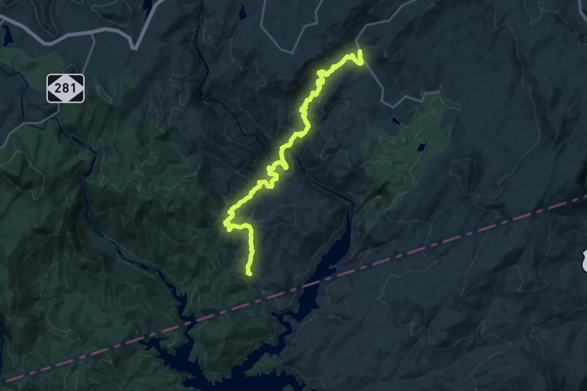
Demanding · Trail
Auger Hole Trail
22.0 km · ↑ 903 m · 7 h 10 min
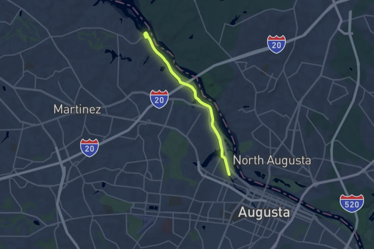
Medium · Trail
Augusta Canal Trail
17.9 km · ↑ 5 m · 4 h 15 min
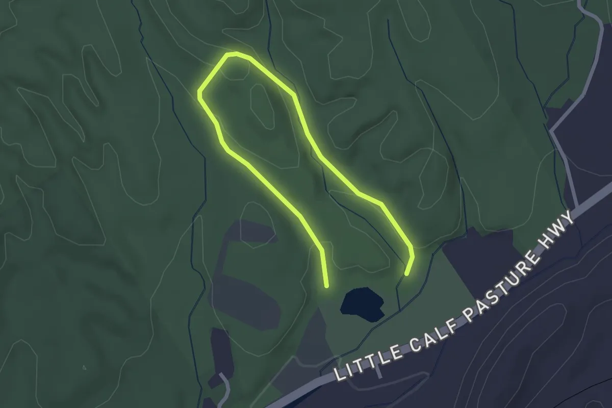
Easy · Trail
Augusta Springs Upland Trail
3.6 km · ↑ 97 m · 1 h 3 min
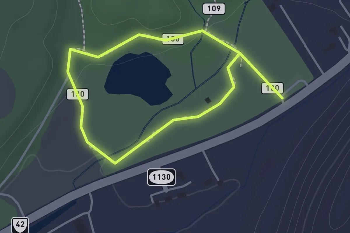
Easy · Trail
Augusta Springs Wetland Trail
1.1 km · ↑ 13 m · 18 min
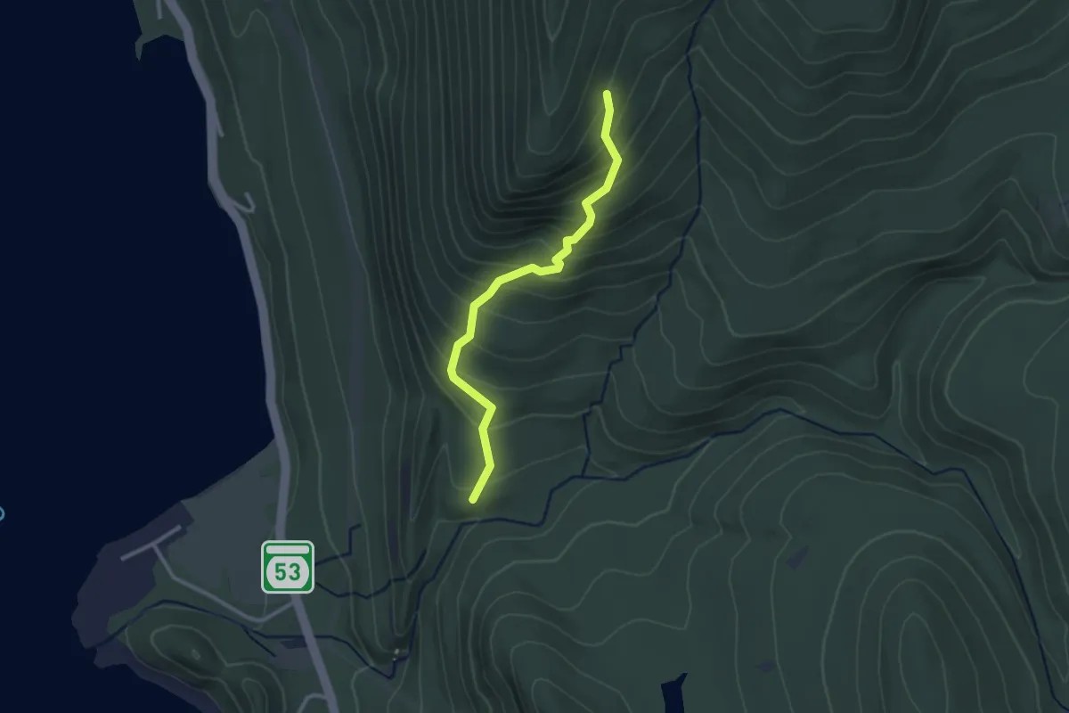
Easy · Trail
Aunt Jenny Trail
2.7 km · ↑ 270 m · 1 h 13 min
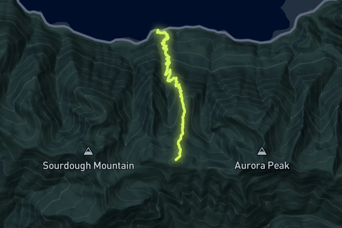
Demanding · Summit
Aurora Creek Primitive Trail
10.3 km · ↑ 1271 m · 5 h 12 min
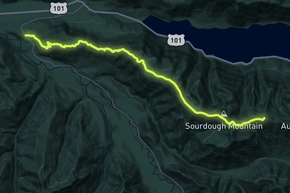
Demanding · Summit
Aurora Ridge Trail
31.1 km · ↑ 1804 m · 11 h 15 min
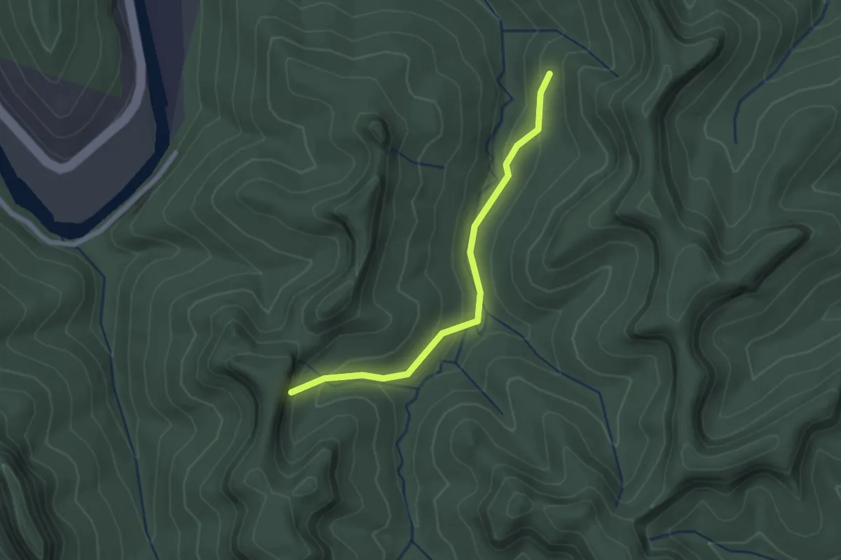
Easy · Trail
Auxier Branch Trail #203
2.3 km · ↑ 117 m · 47 min
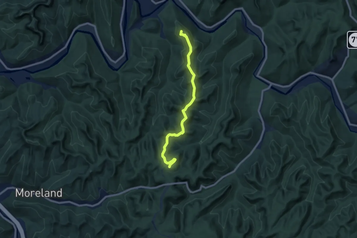
Medium · Summit
Auxier Ridge Trail #204
6.7 km · ↑ 365 m · 2 h 23 min
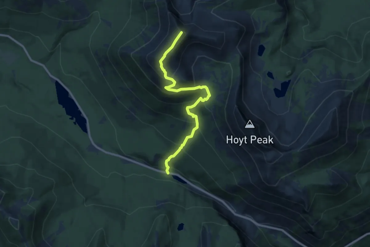
Medium · Summit
Avalance Peak Trail
7.3 km · ↑ 636 m · 3 h 6 min
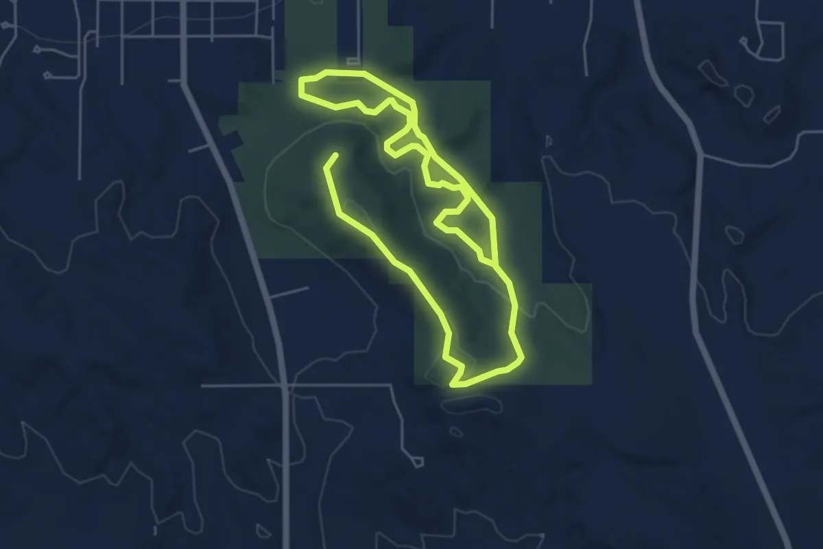
Medium · Summit
Avalanche Hiking Trails
9.6 km · ↑ 165 m · 2 h 37 min