Trails in United States
10,367 hiking trails, each with its route, climb, walking time and grade.
All trails, page 90 of 216
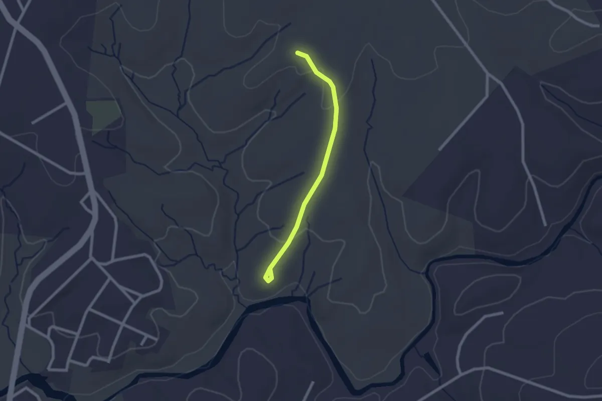
Easy · Trail
Hunt Club Trail
2.4 km · ↑ 33 m · 38 min
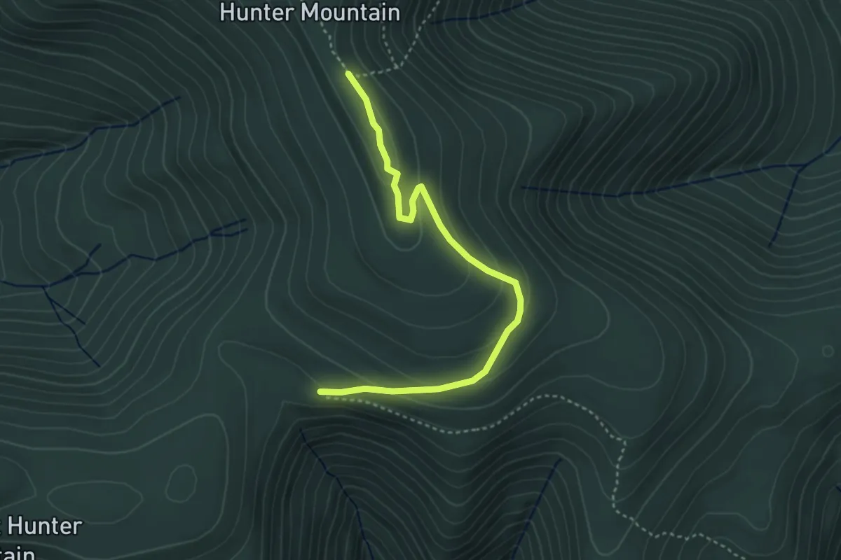
Medium · Trail
Hunter Mountain Trail
4.2 km · ↑ 147 m · 1 h 18 min
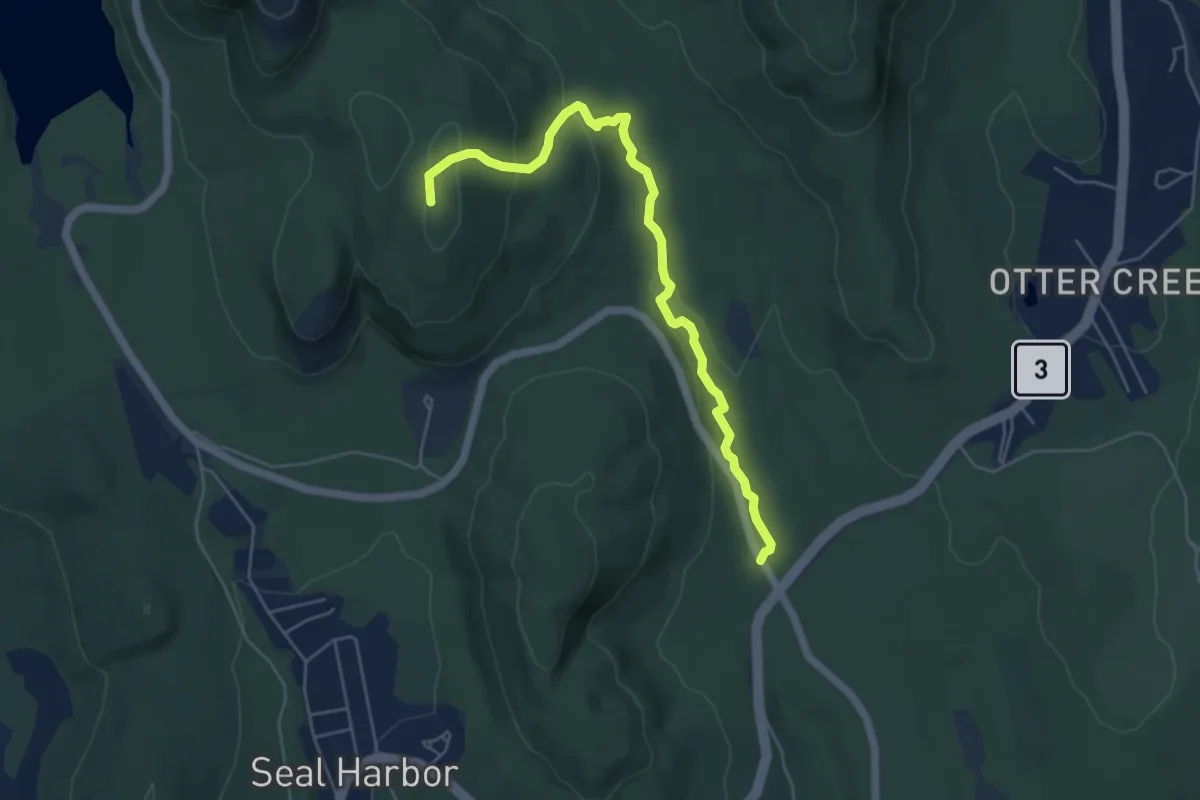
Easy · Summit
Hunters Brook Trail
5.6 km · ↑ 178 m · 1 h 43 min
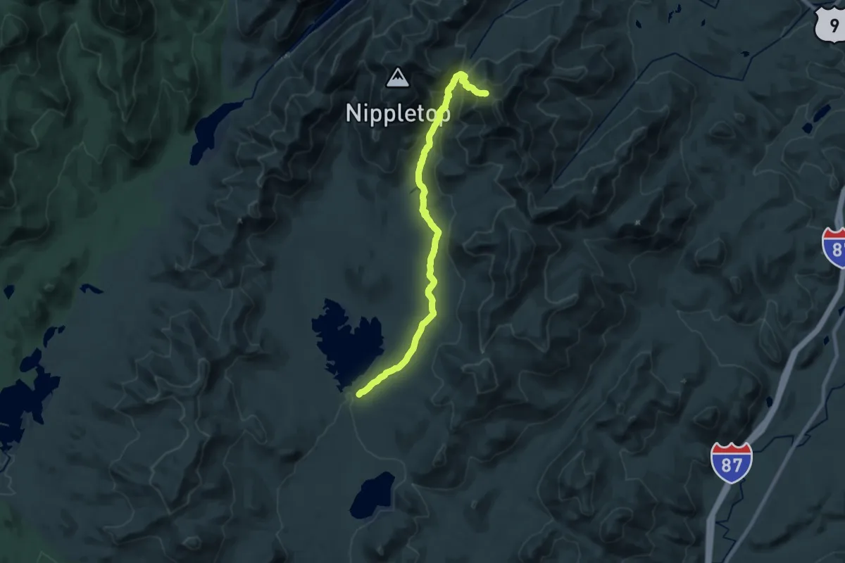
Demanding · Trail
Hunters Pass Trail
20.7 km · ↑ 980 m · 7 h 1 min
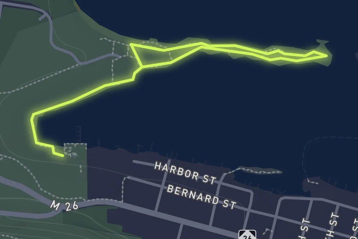
Easy · Trail
Hunter's Point Hiking Trail
2.0 km · ↑ 0 m · 30 min
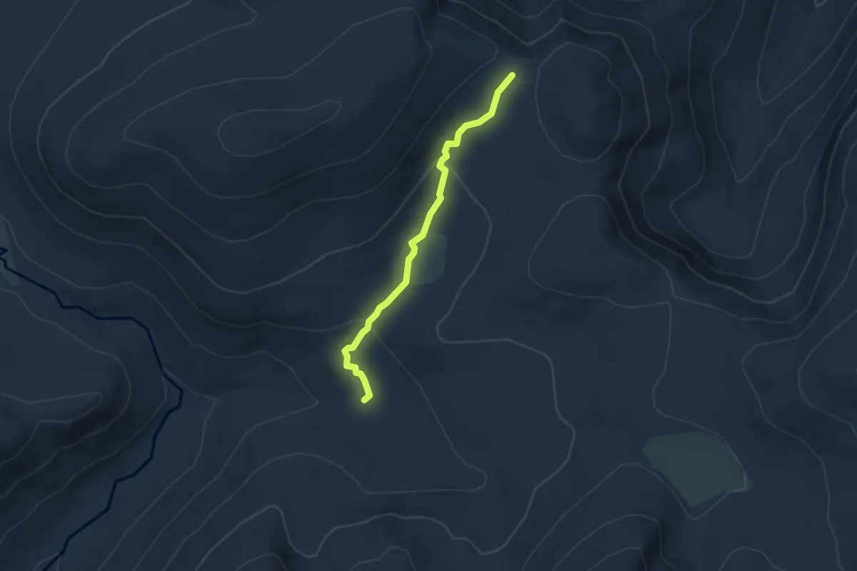
Easy · Trail
Hunters Trail
3.8 km · ↑ 124 m · 1 h 10 min
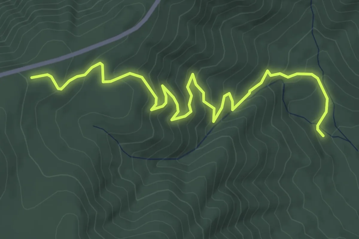
Medium · Trail
Hunting Creek Trail
6.3 km · ↑ 368 m · 2 h 17 min
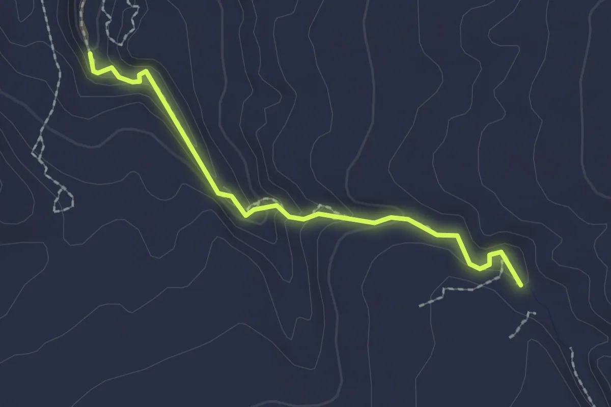
Easy · Trail
Huntress Canyon
2.2 km · ↑ 123 m · 47 min
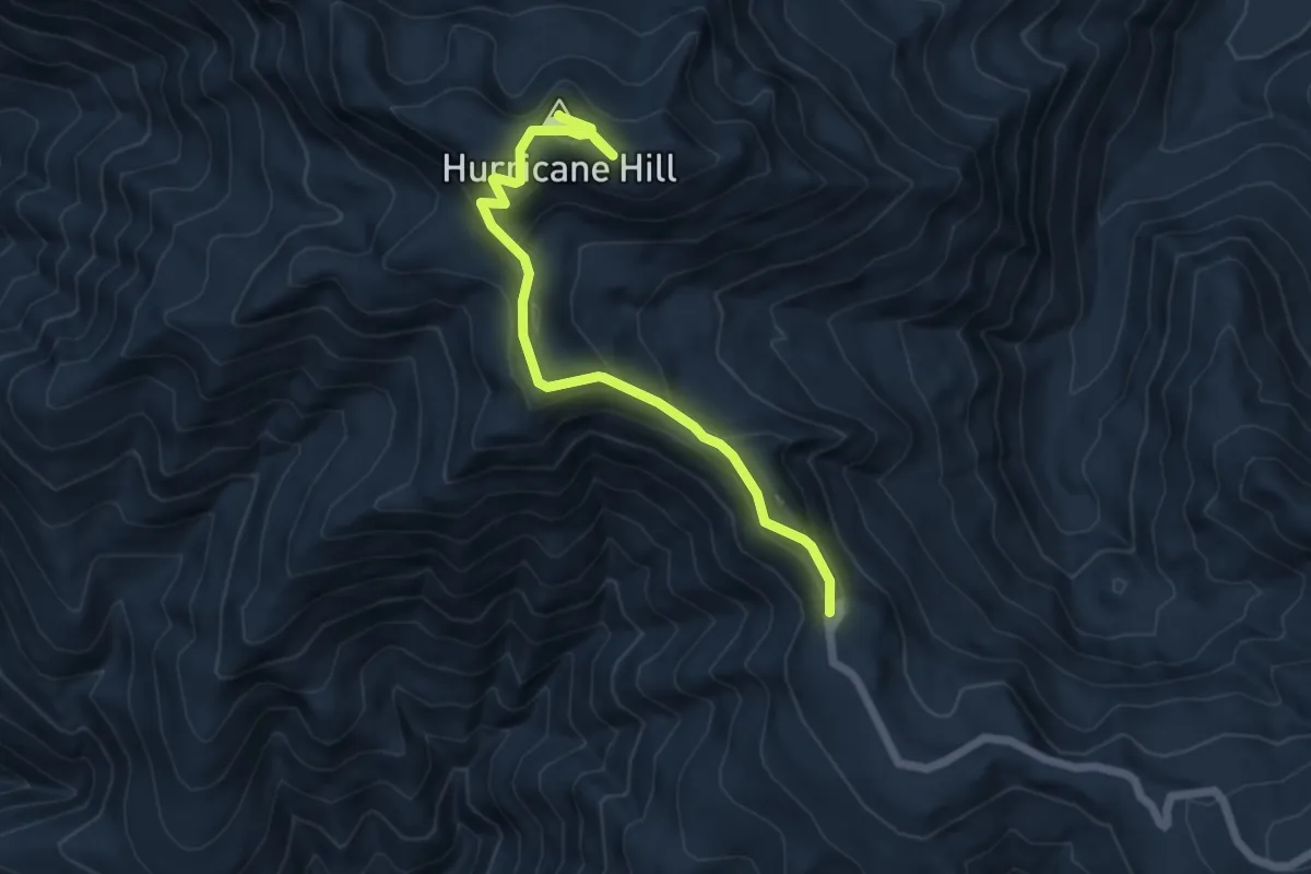
Medium · Summit
Hurricane Hill Nature Trail
5.8 km · ↑ 341 m · 2 h 7 min
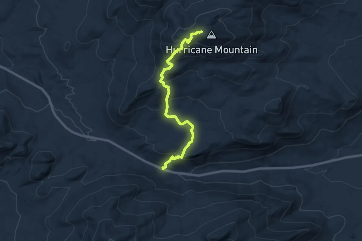
Medium · Trail
Hurricane Mountain Trail
8.9 km · ↑ 556 m · 3 h 18 min
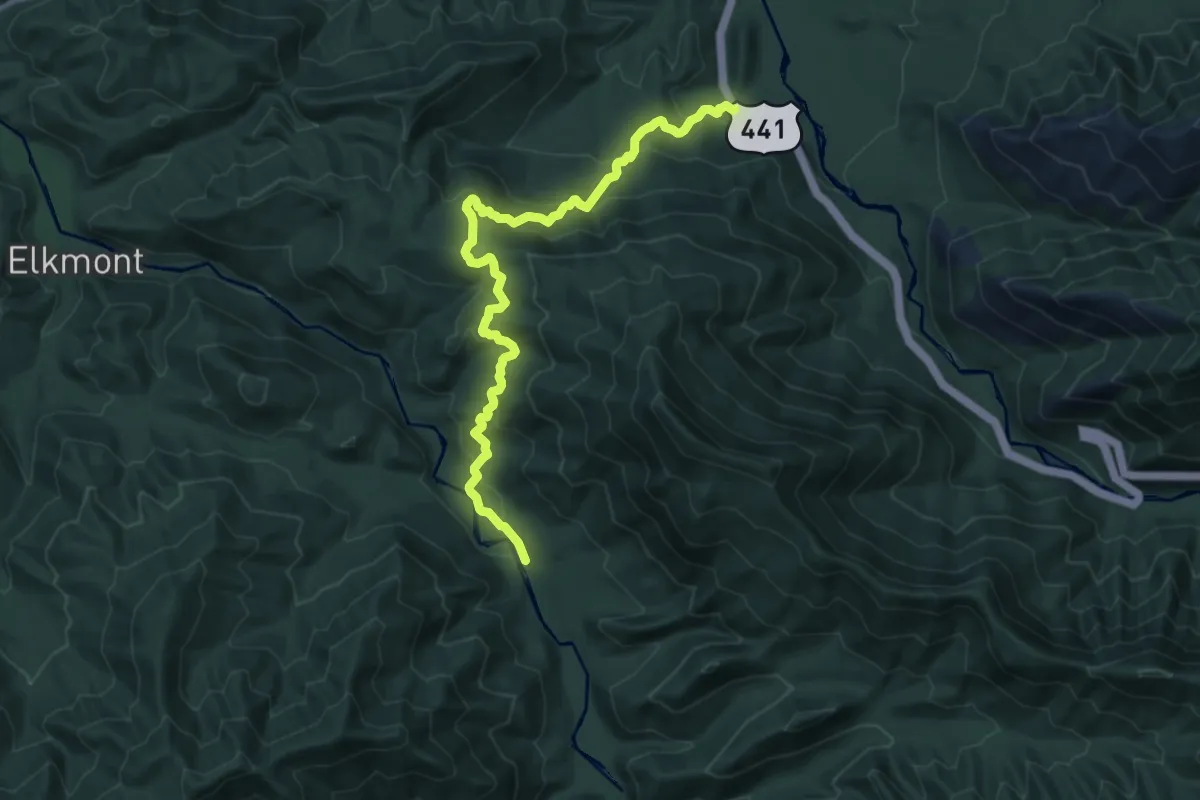
Medium · Trail
Huskey Gap Trail
13.0 km · ↑ 651 m · 4 h 30 min
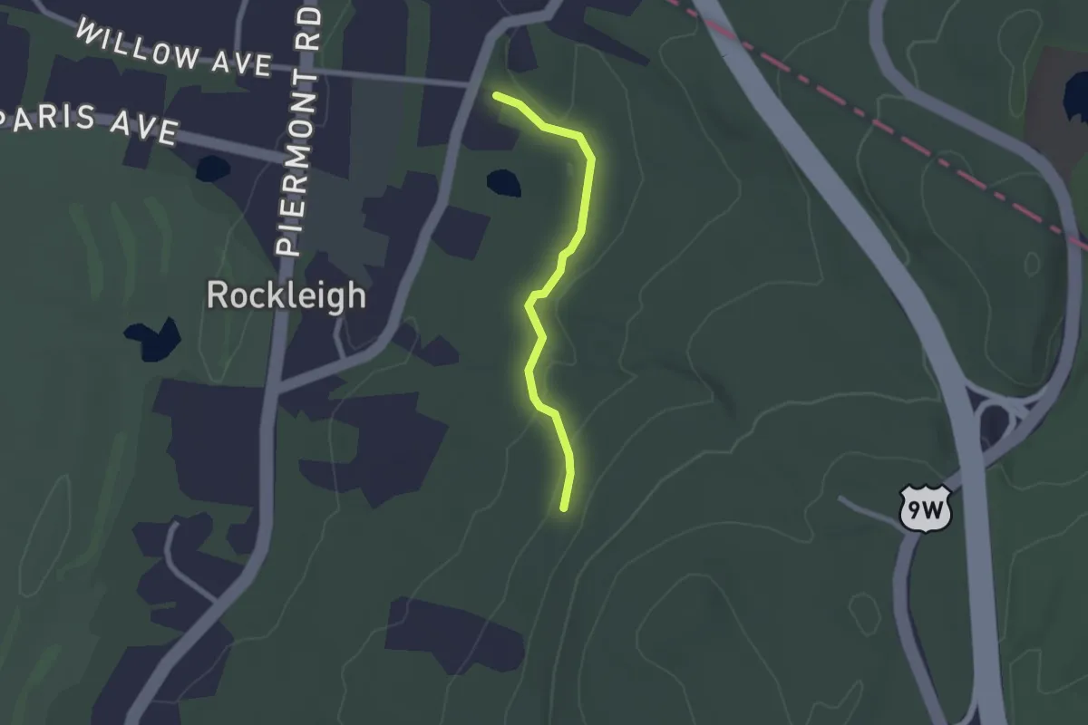
Easy · Trail
Hutcheon Trail
2.1 km · ↑ 41 m · 34 min
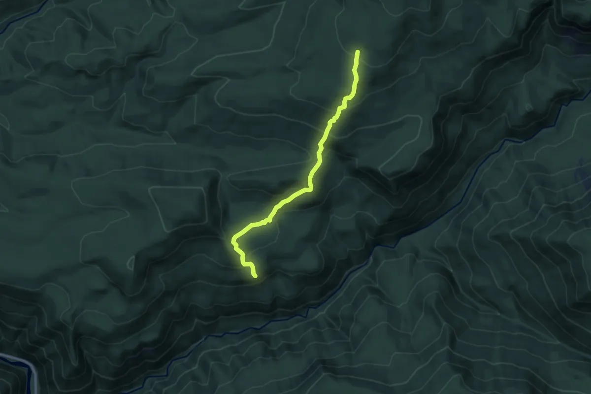
Medium · Trail
Huxley Lake Trail #521
8.8 km · ↑ 570 m · 3 h 18 min
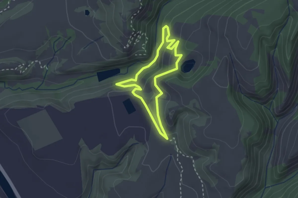
Easy · Trail
Huyya (Tree) Trail
2.3 km · ↑ 91 m · 47 min
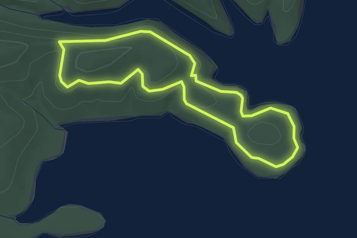
Easy · Trail
Hydro Loop
3.0 km · ↑ 42 m · 51 min
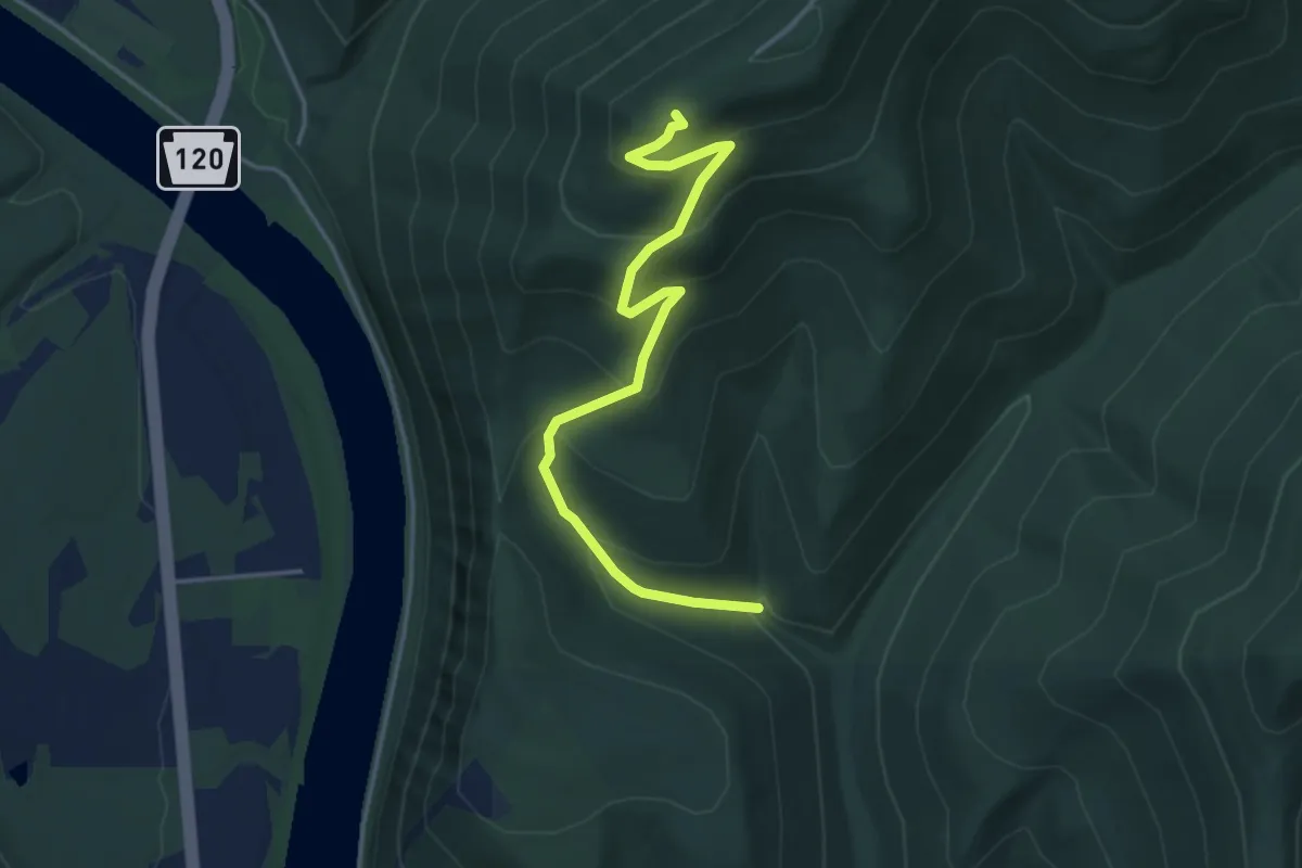
Medium · Trail
Hyner View Trail
4.6 km · ↑ 337 m · 1 h 48 min
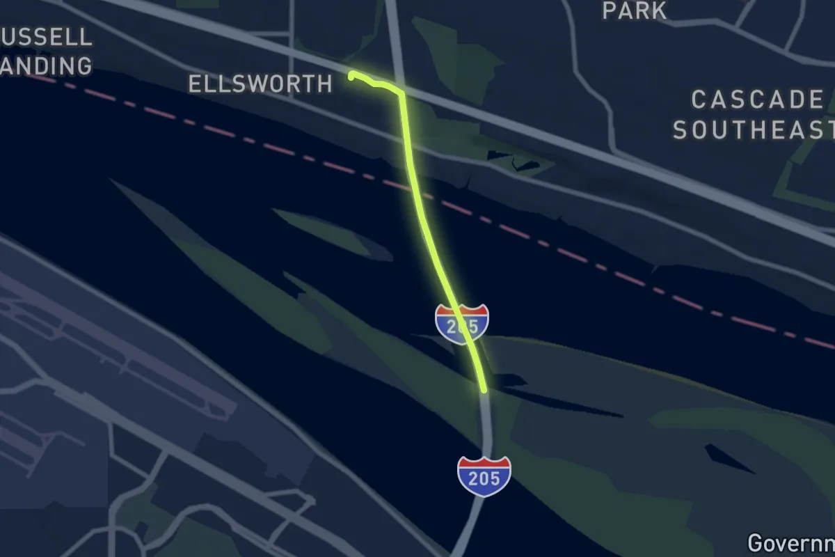
Easy · Trail
I-205 Multi-Use Path
5.2 km · ↑ 47 m · 1 h 19 min
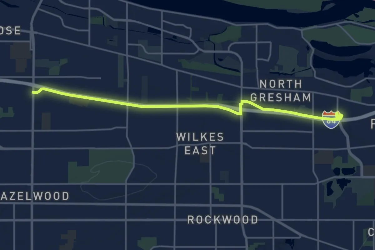
Medium · Trail
I-84 Trail
15.5 km · ↑ 63 m · 3 h 48 min
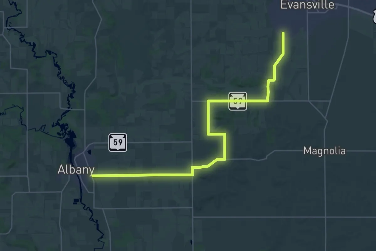
Medium · Trail
IAT - Albany-Evansville connection
17.2 km · ↑ 97 m · 4 h 32 min
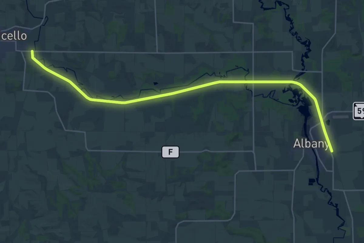
Demanding · Trail
IAT - Albany Segment
29.9 km · ↑ 8 m · 7 h 5 min
Medium · Trail
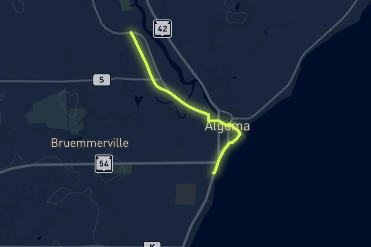
IAT - Algoma Segment
8.3 km · ↑ 9 m · 1 h 58 min
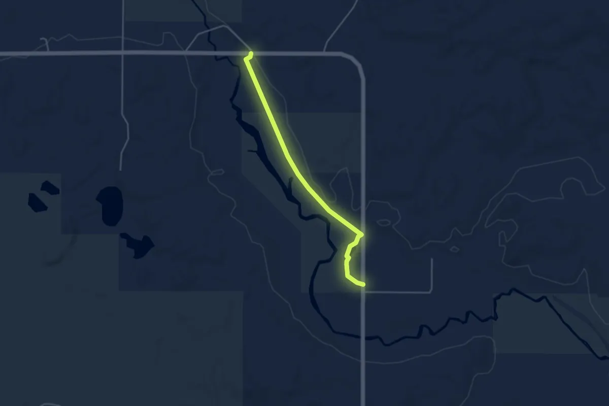
Easy · Trail
IAT - Alta Junction Segment
3.9 km · ↑ 0 m · 55 min
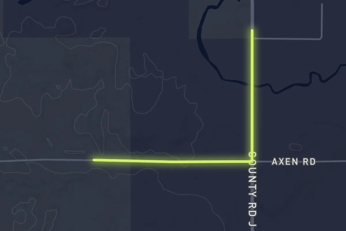
Easy · Trail
IAT - Alta Junction-Underdown connection
3.8 km · ↑ 20 m · 56 min
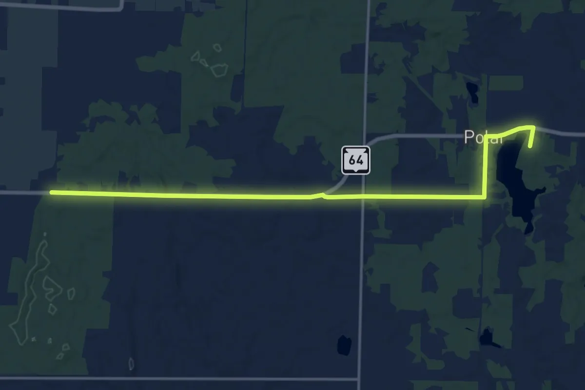
Medium · Trail
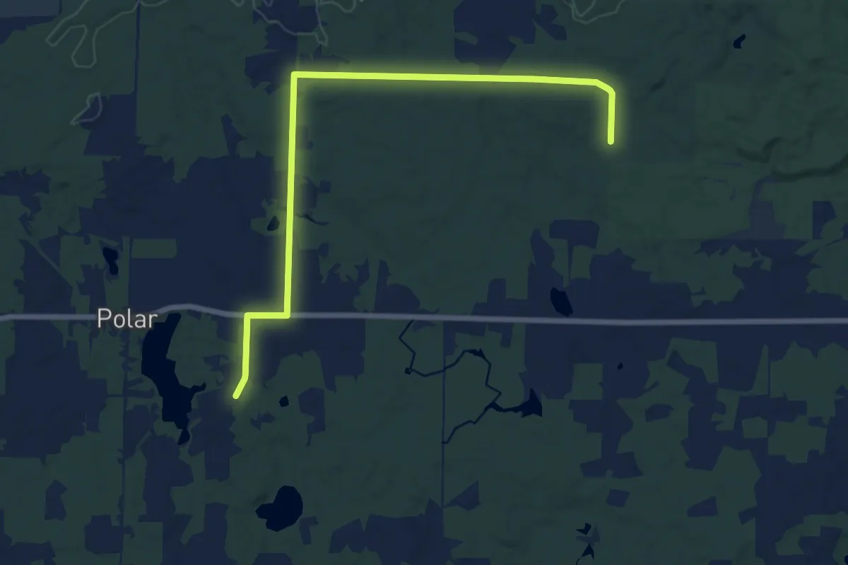
IAT - Antigo Heights connector
14.8 km · ↑ 72 m · 3 h 39 min
Medium · Trail
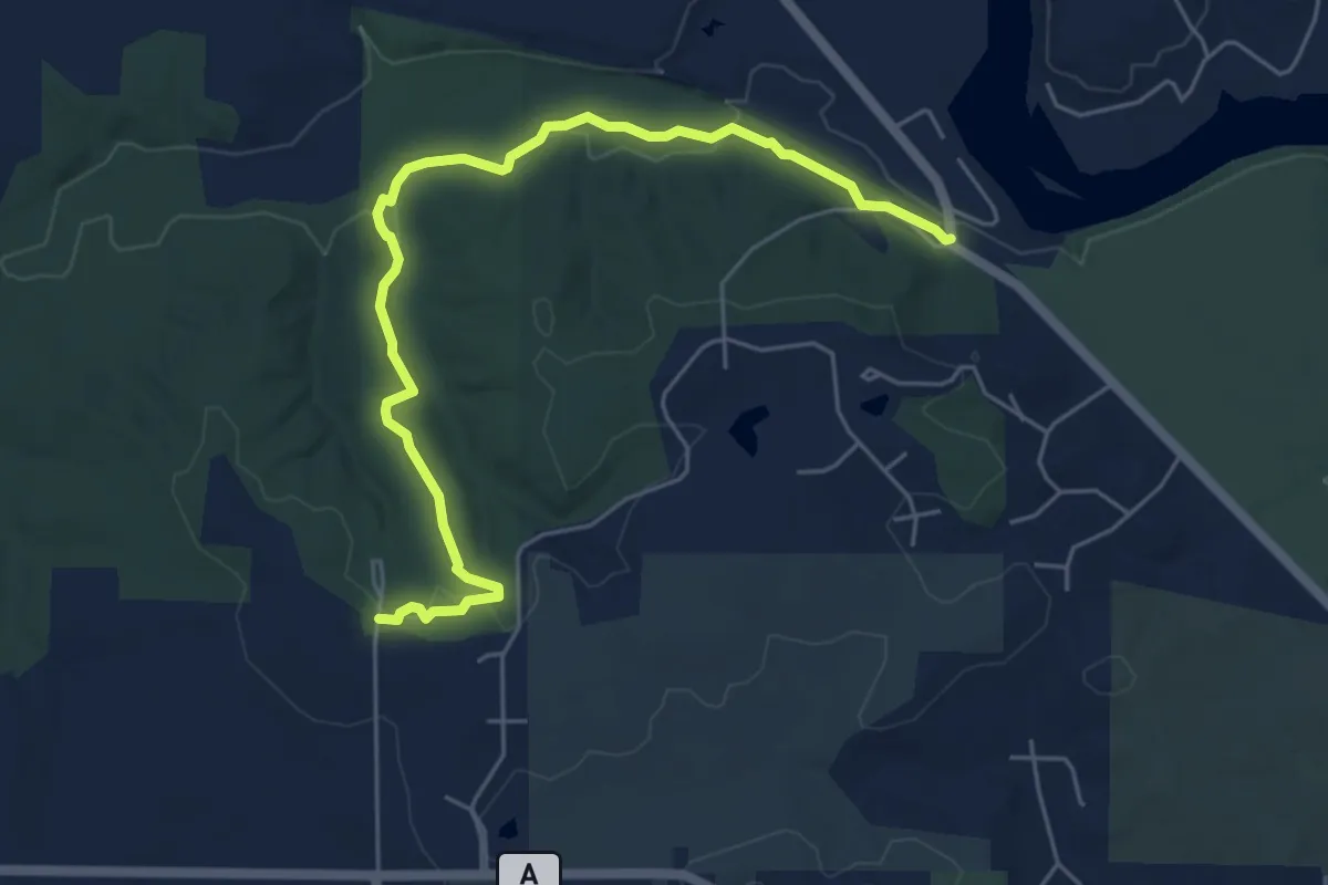
IAT - Antigo Heights-Kettlebowl connector
14.9 km · ↑ 103 m · 3 h 44 min
Easy · Trail
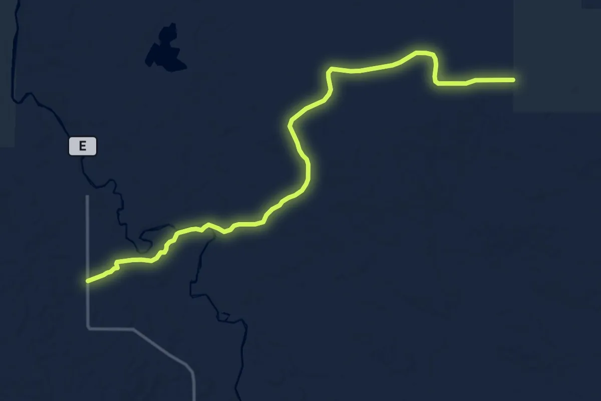
IAT - Arbor Ridge Segment
6.5 km · ↑ 78 m · 1 h 42 min
Medium · Trail
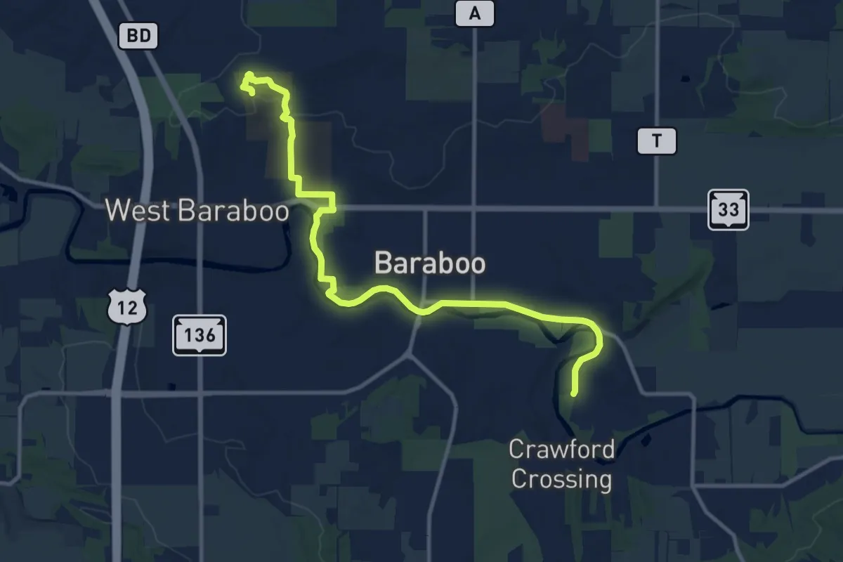
IAT - Averill-Kelly Creek Wilderness Segment
14.2 km · ↑ 75 m · 3 h 30 min
Medium · Trail
IAT - Baraboo Segment
12.8 km · ↑ 146 m · 3 h 20 min
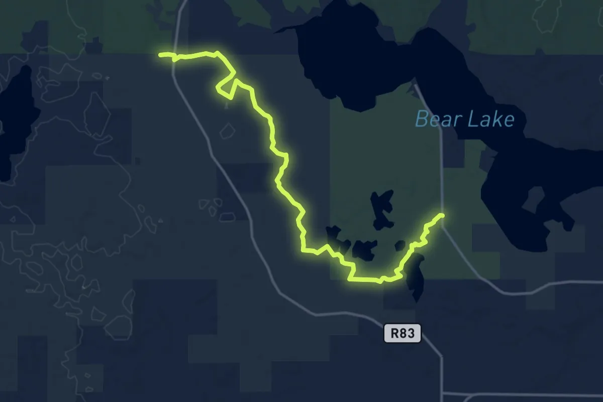
Medium · Trail
IAT - Bear Lake Segment
16.6 km · ↑ 64 m · 4 h 3 min
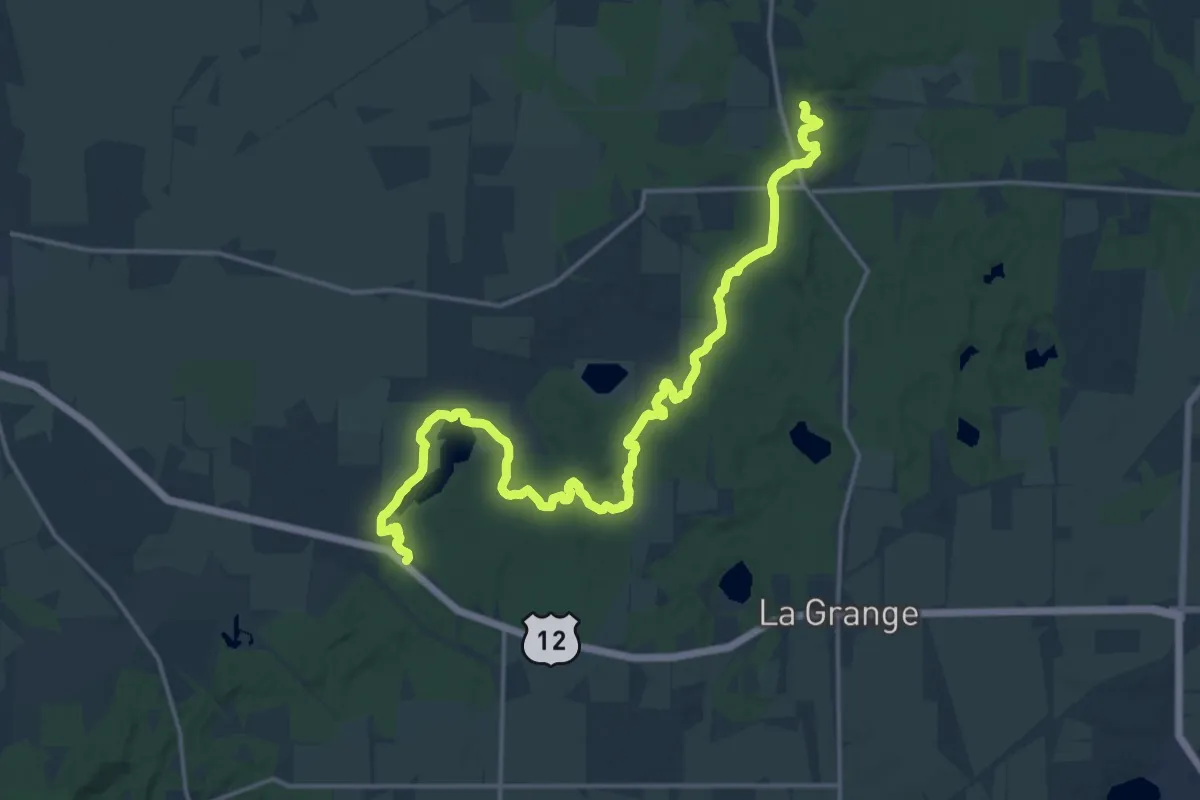
Demanding · Trail
IAT - Blackhawk Segment
21.2 km · ↑ 273 m · 5 h 35 min
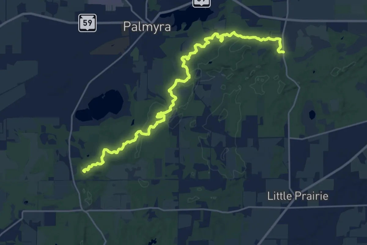
Demanding · Summit
IAT - Blue Spring Lake Segment
20.7 km · ↑ 399 m · 5 h 45 min
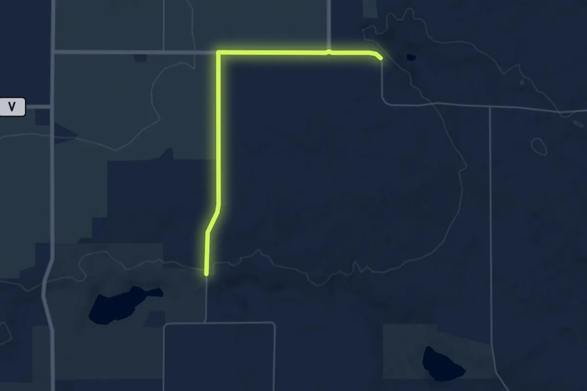
Easy · Trail
IAT - Bohn Lake-Deerfield connection
5.7 km · ↑ 25 m · 1 h 24 min
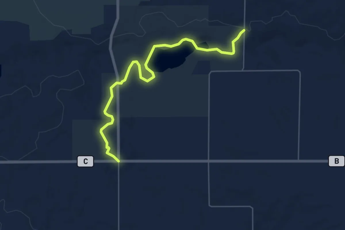
Easy · Trail
IAT - Bohn Lake Segment
5.7 km · ↑ 43 m · 1 h 27 min
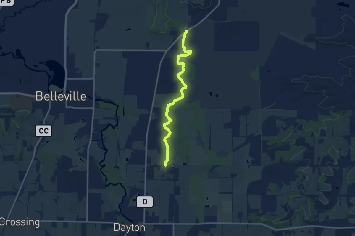
Medium · Trail
IAT - Brooklyn Wildlife Segment
10.5 km · ↑ 76 m · 2 h 38 min
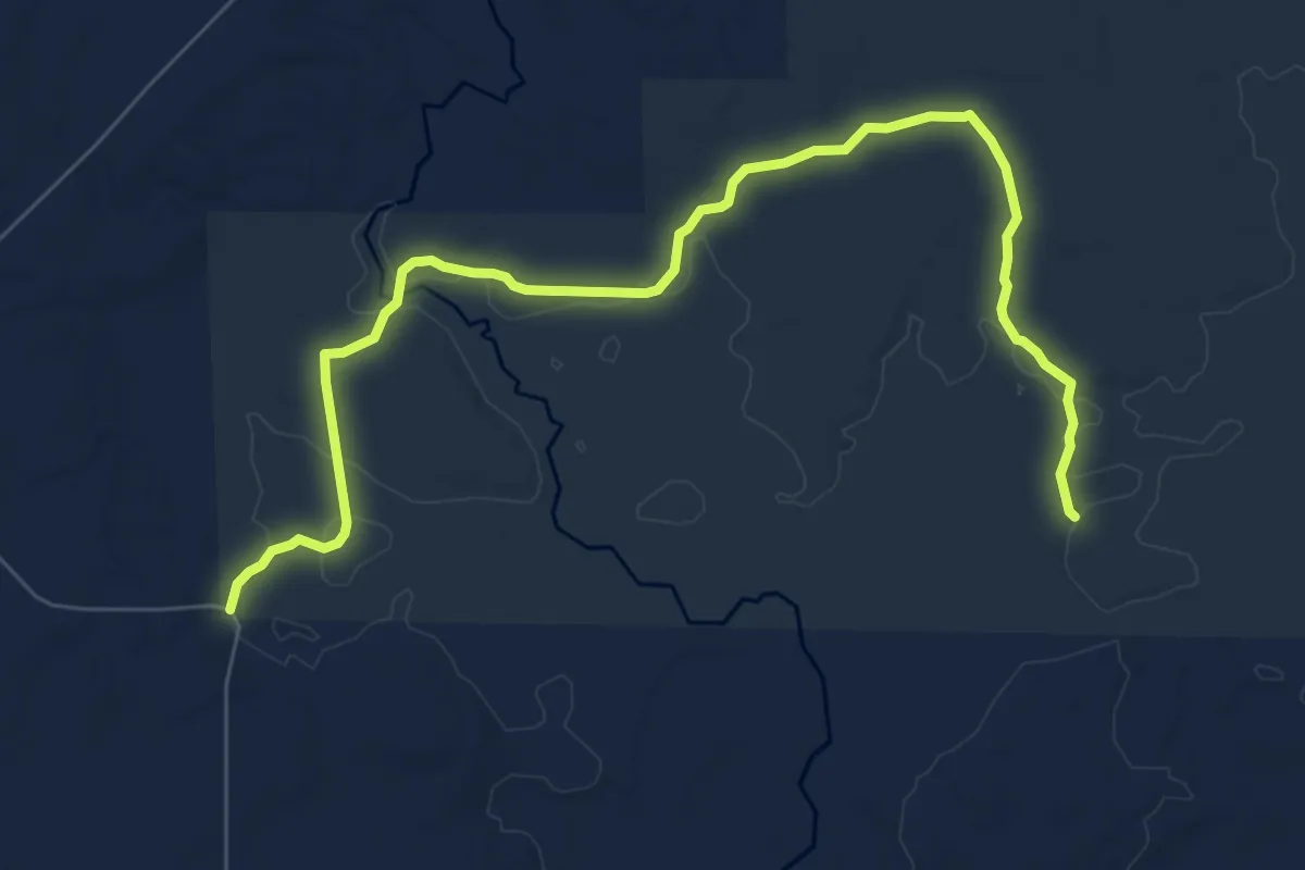
Medium · Trail
IAT - Camp 27 Segment
9.1 km · ↑ 50 m · 2 h 15 min
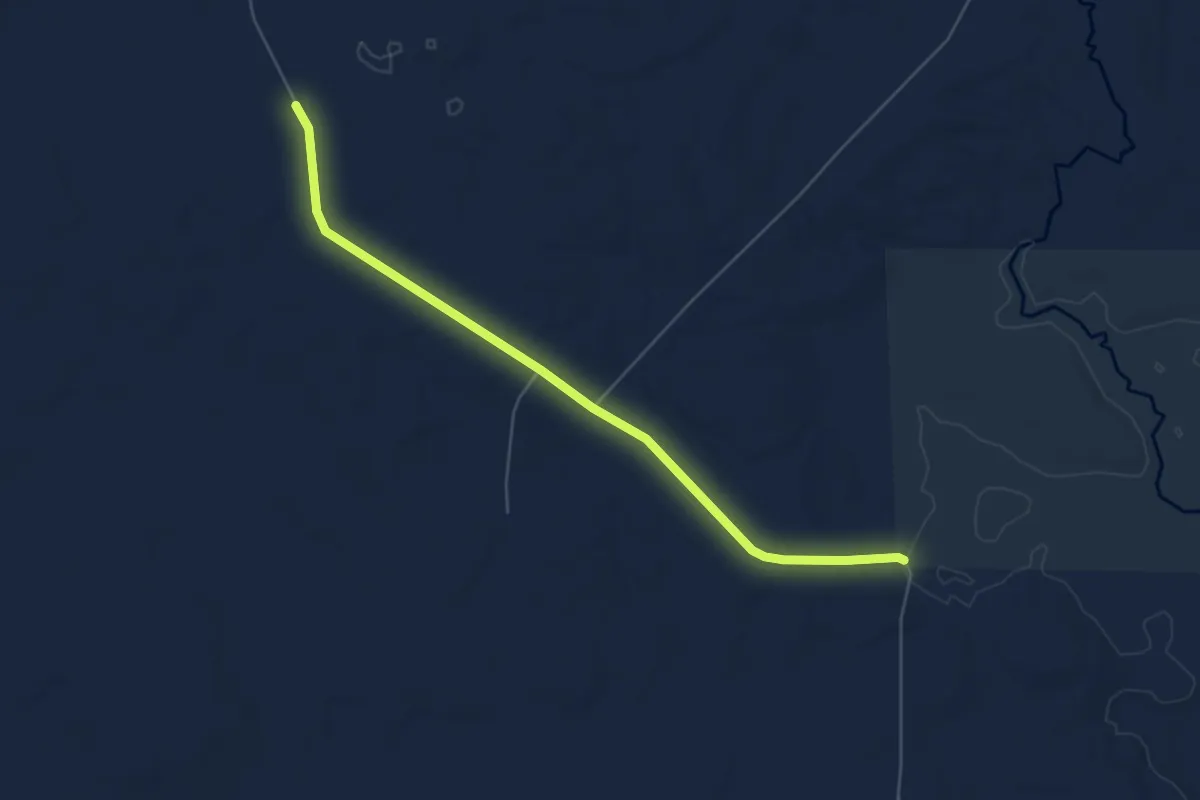
Easy · Trail
IAT - Camp 27-Tiberland Wilderness connection
6.0 km · ↑ 53 m · 1 h 32 min
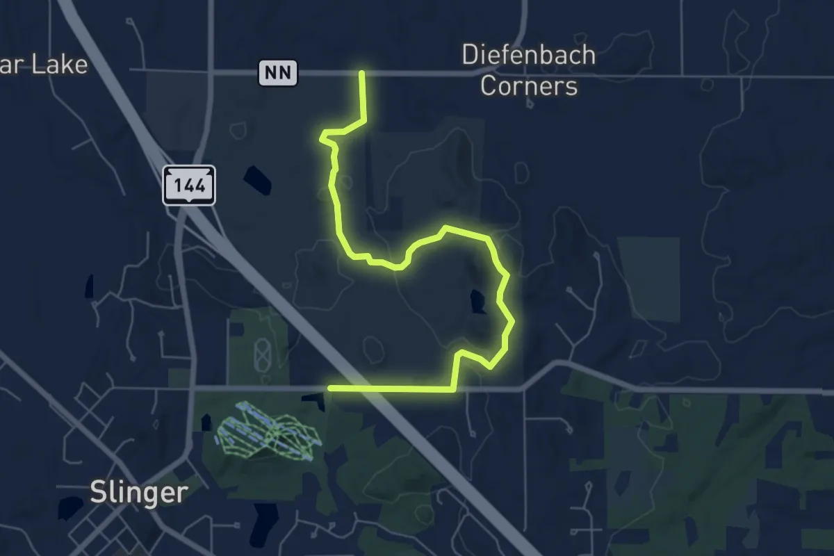
Easy · Trail
IAT - Cedar Lakes Segment
7.4 km · ↑ 77 m · 1 h 55 min
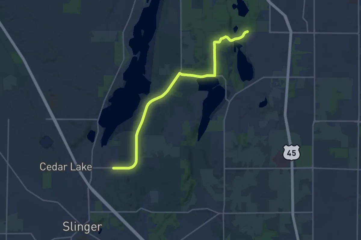
Medium · Trail
IAT - Cedar Lakes-West Bend connection
17.4 km · ↑ 173 m · 4 h 29 min
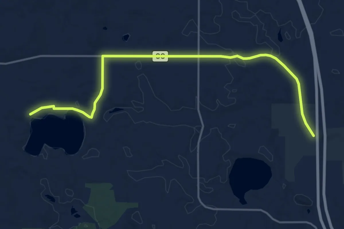
Medium · Trail
IAT - Chaffee Creek connection
13.2 km · ↑ 68 m · 3 h 16 min
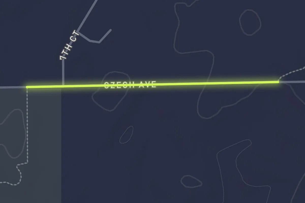
Easy · Trail
IAT - Chaffee Creek-Wedde Creek connection
2.2 km · ↑ 0 m · 31 min
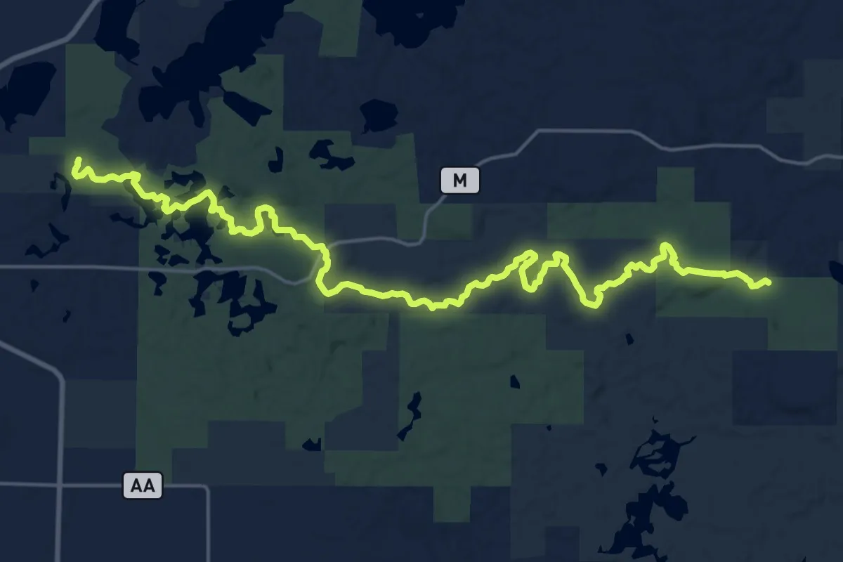
Demanding · Trail
IAT - Chippewa Moraine Segment
24.9 km · ↑ 298 m · 6 h 32 min
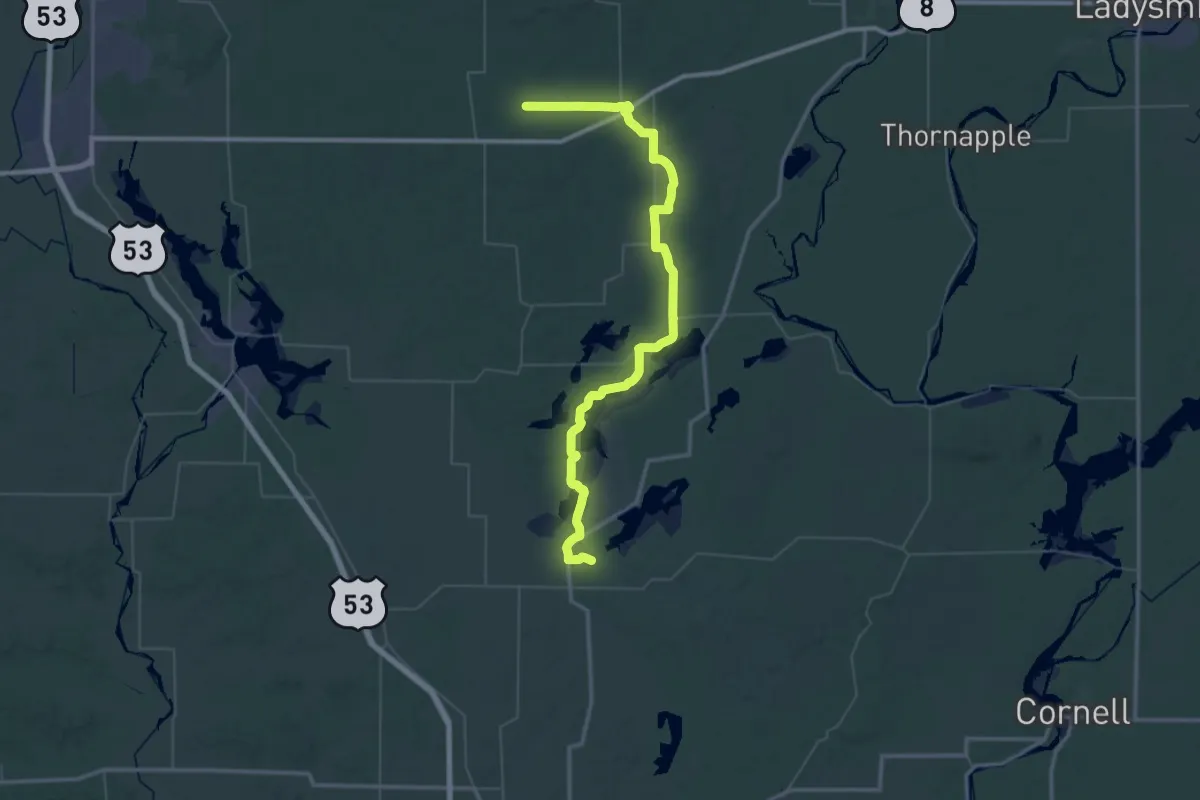
Demanding · Trail
IAT - Chippewa Moraine-Southern Blue Hills connection
34.2 km · ↑ 165 m · 8 h 53 min
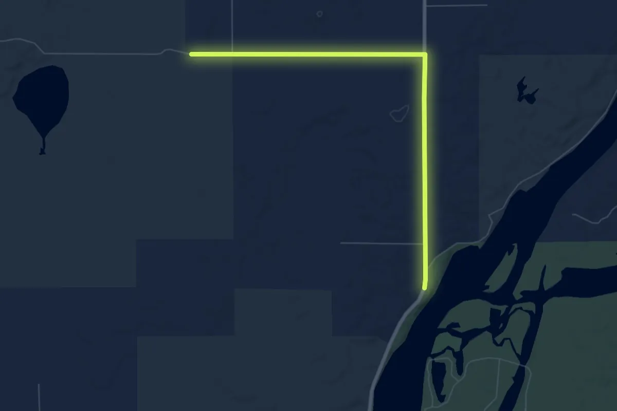
Easy · Trail
IAT - Chippewa River-Firth Lake connection
7.7 km · ↑ 35 m · 1 h 54 min
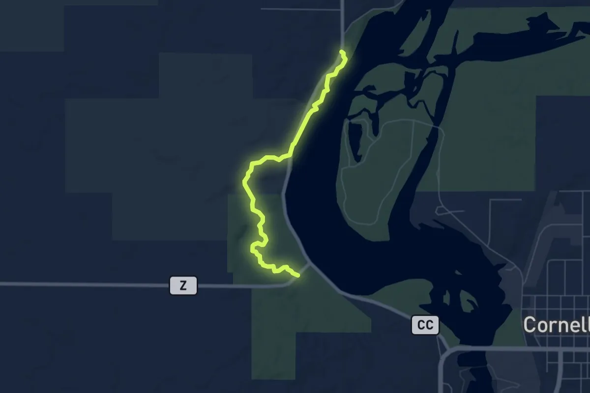
Easy · Trail
IAT - Chippewa River Segment
6.0 km · ↑ 83 m · 1 h 36 min
Easy · Trail
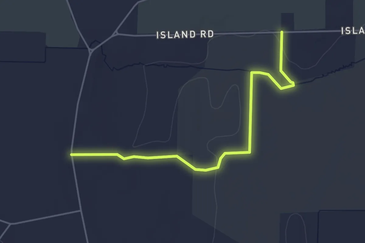
IAT - Clover Valley Segment
5.1 km · ↑ 14 m · 1 h 14 min
Medium · Trail
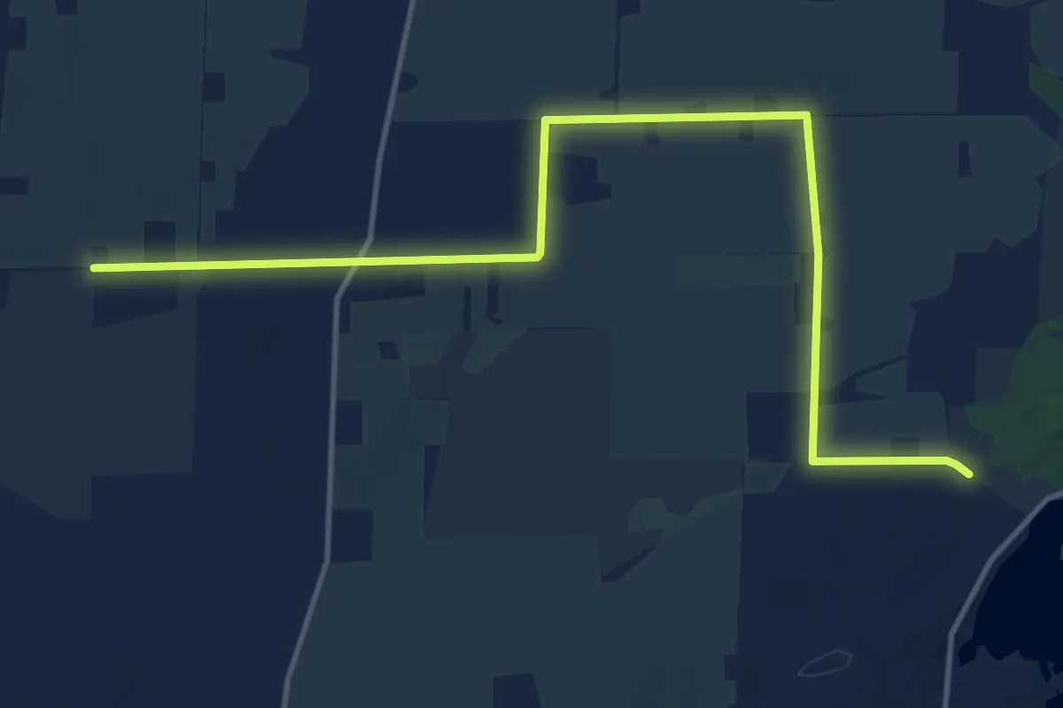
IAT - Clover Valley-Whitewater Lake connection
15.7 km · ↑ 51 m · 3 h 49 min
Easy · Trail
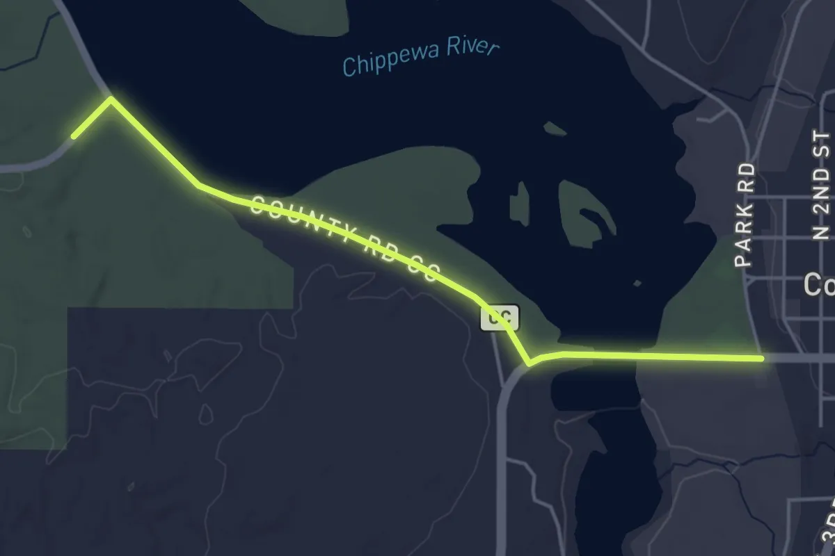
IAT - Cornell-Chippewa River connection
4.6 km · ↑ 17 m · 1 h 7 min
Easy · Trail
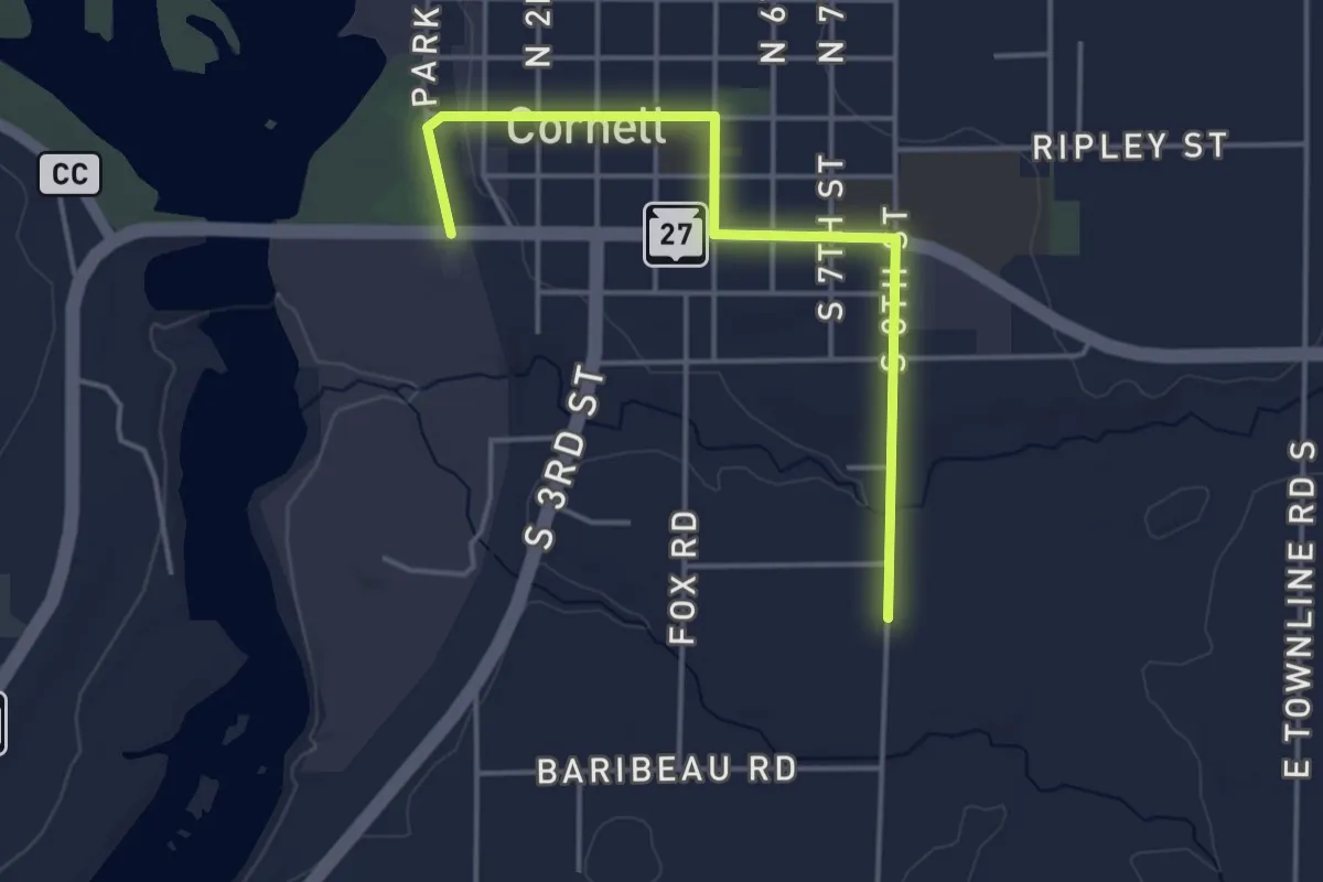
IAT - Cornell Segment
4.3 km · ↑ 37 m · 1 h 5 min