Trails in United States
10,367 hiking trails, each with its route, climb, walking time and grade.
All trails, page 91 of 216
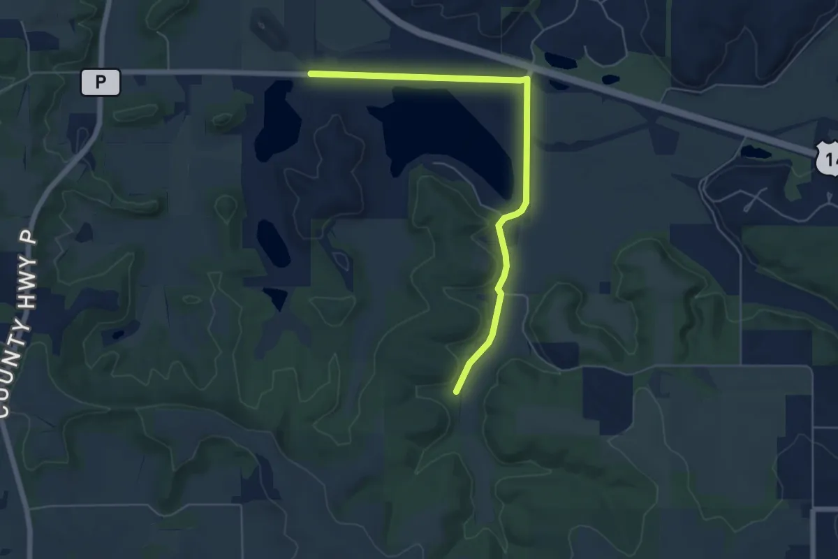
Easy · Trail
IAT - Cross Plains connection
6.3 km · ↑ 22 m · 1 h 32 min
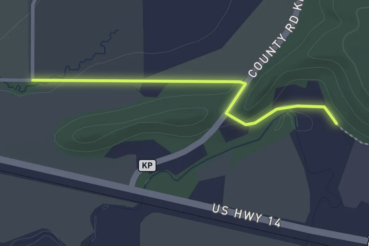
Easy · Trail
IAT - Cross Plains-Table Bluff connection
2.1 km · ↑ 22 m · 32 min
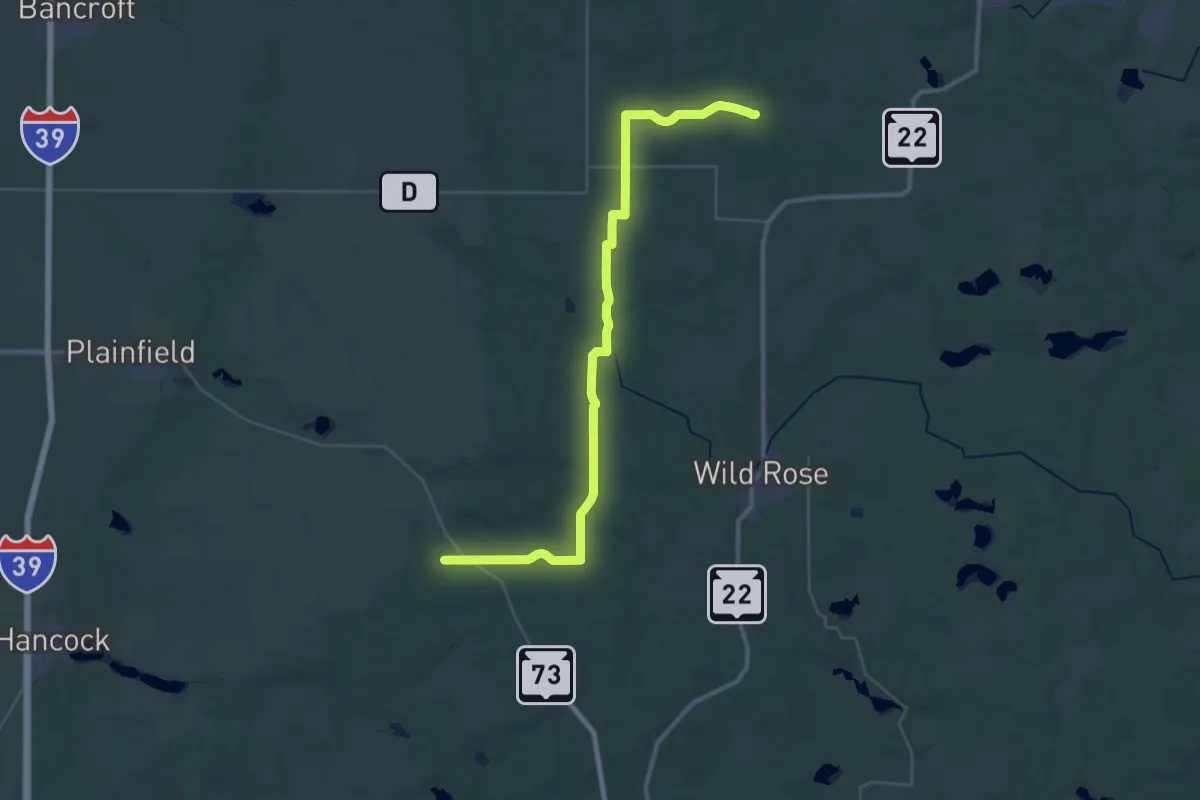
Demanding · Trail
IAT - Deerfield-Emmons Creek connection
23.6 km · ↑ 143 m · 6 h 14 min
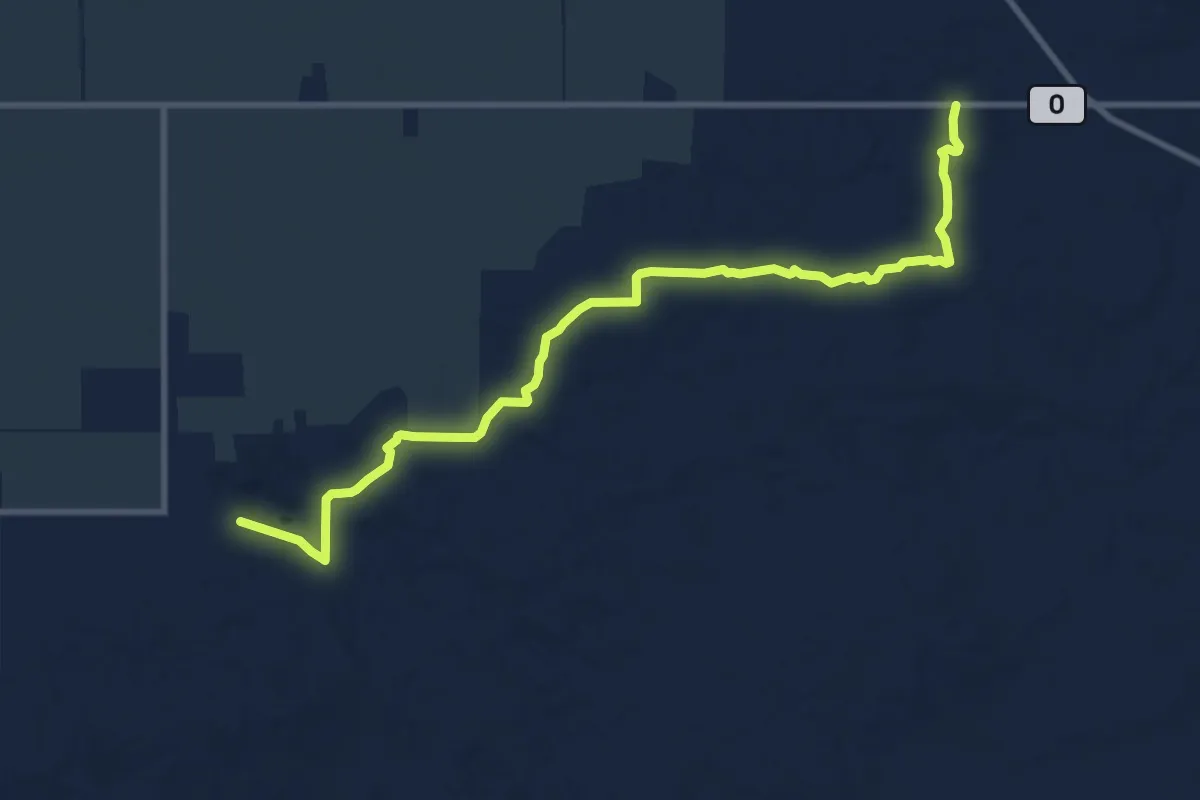
Medium · Trail
IAT - Deerfield Segment
11.4 km · ↑ 117 m · 2 h 57 min
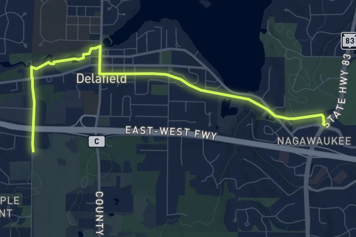
Medium · Trail
IAT - Delafield Segment
10.4 km · ↑ 86 m · 2 h 38 min
Medium · Trail
IAT - Dells of the Eau Claire-Plover River connector
11.2 km · ↑ 50 m · 2 h 46 min
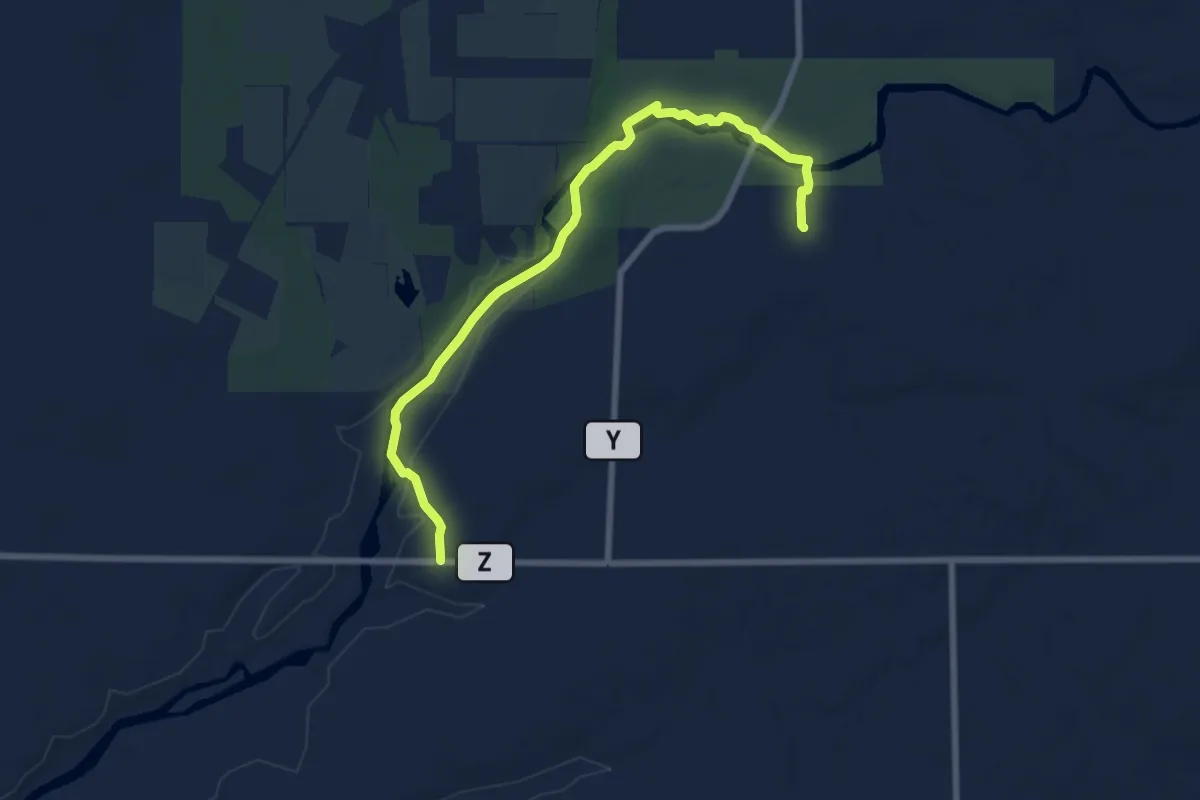
Medium · Trail
IAT - Dells of the Eau Claire Segment
8.2 km · ↑ 65 m · 2 h 4 min
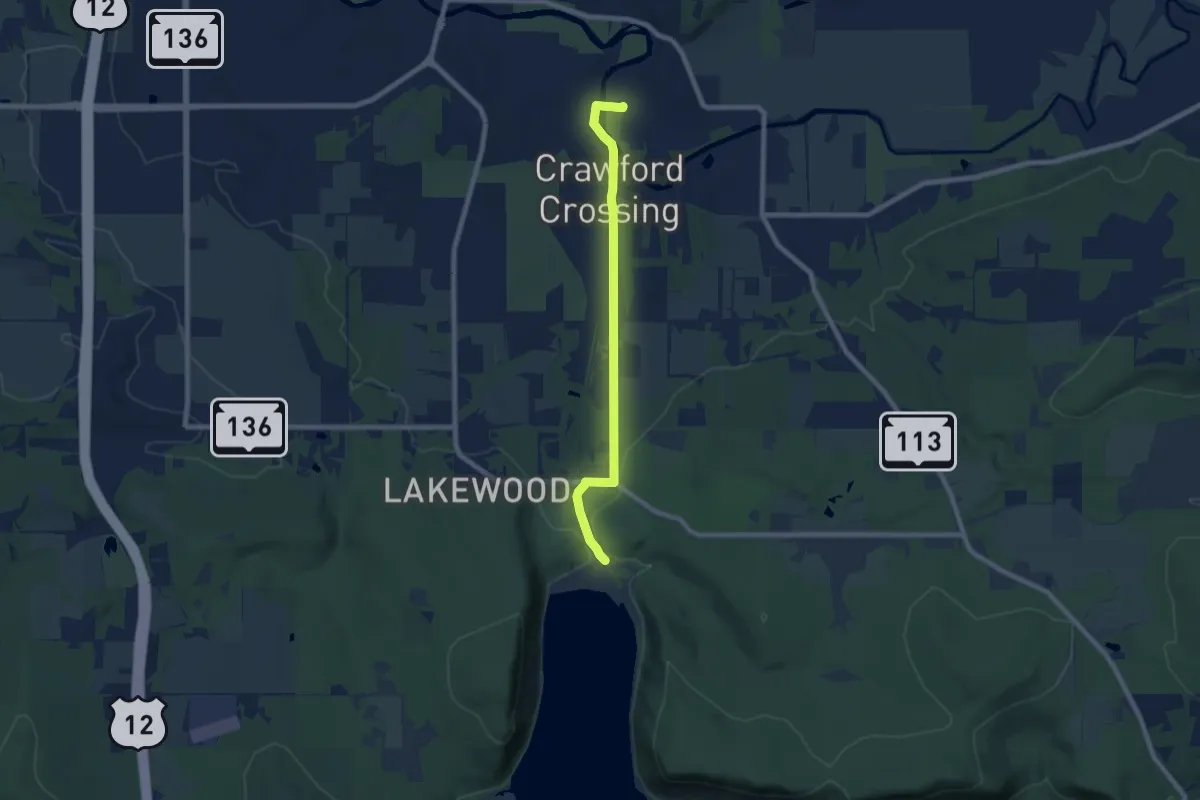
Easy · Trail
IAT - Devil's Lake-Baraboo connection
8.0 km · ↑ 63 m · 2 h 1 min
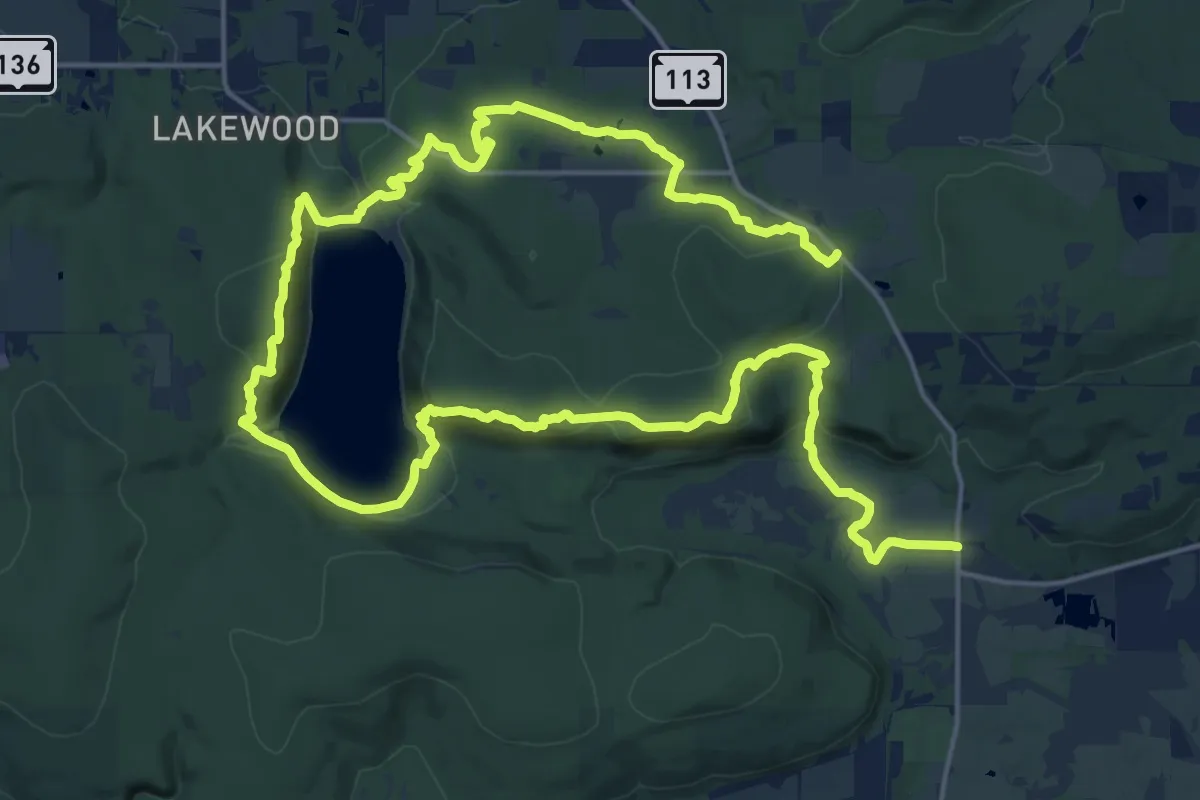
Medium · Trail
IAT - Devil's Lake Segment
17.1 km · ↑ 534 m · 5 h 22 min
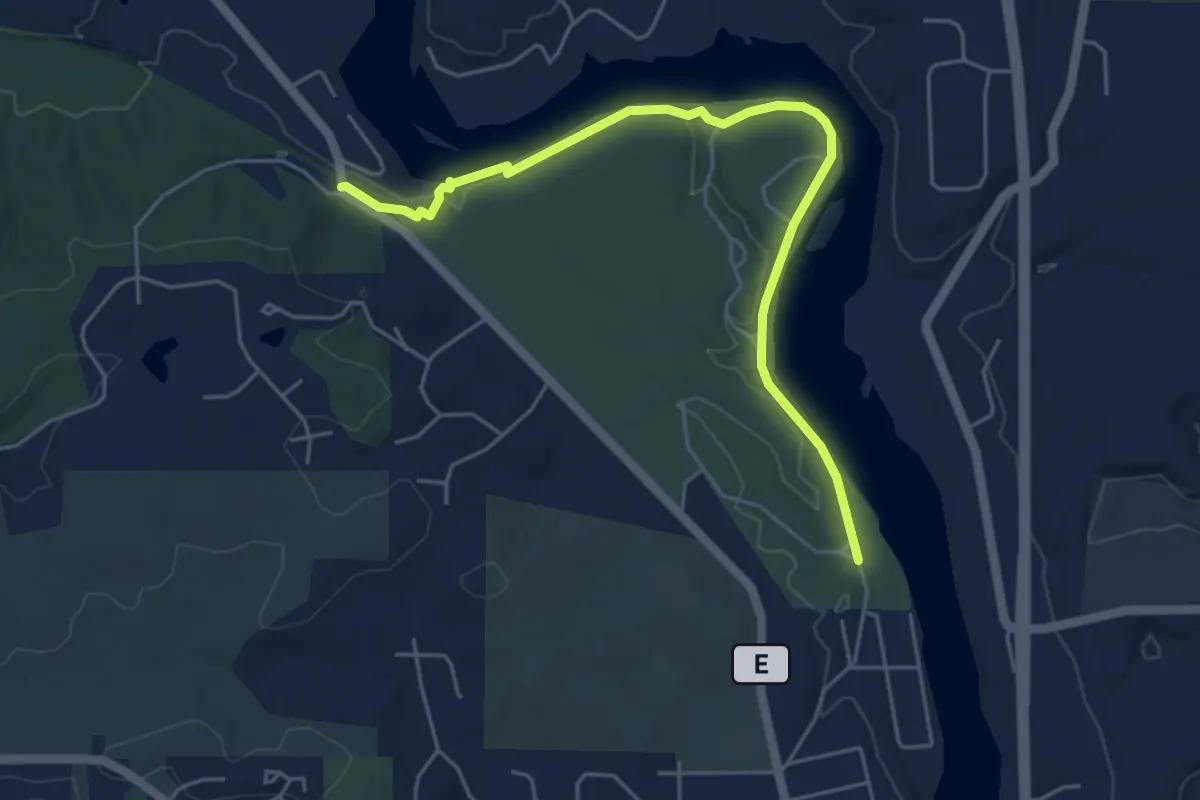
Easy · Trail
IAT - Devil's Staircase Segment
5.8 km · ↑ 53 m · 1 h 29 min
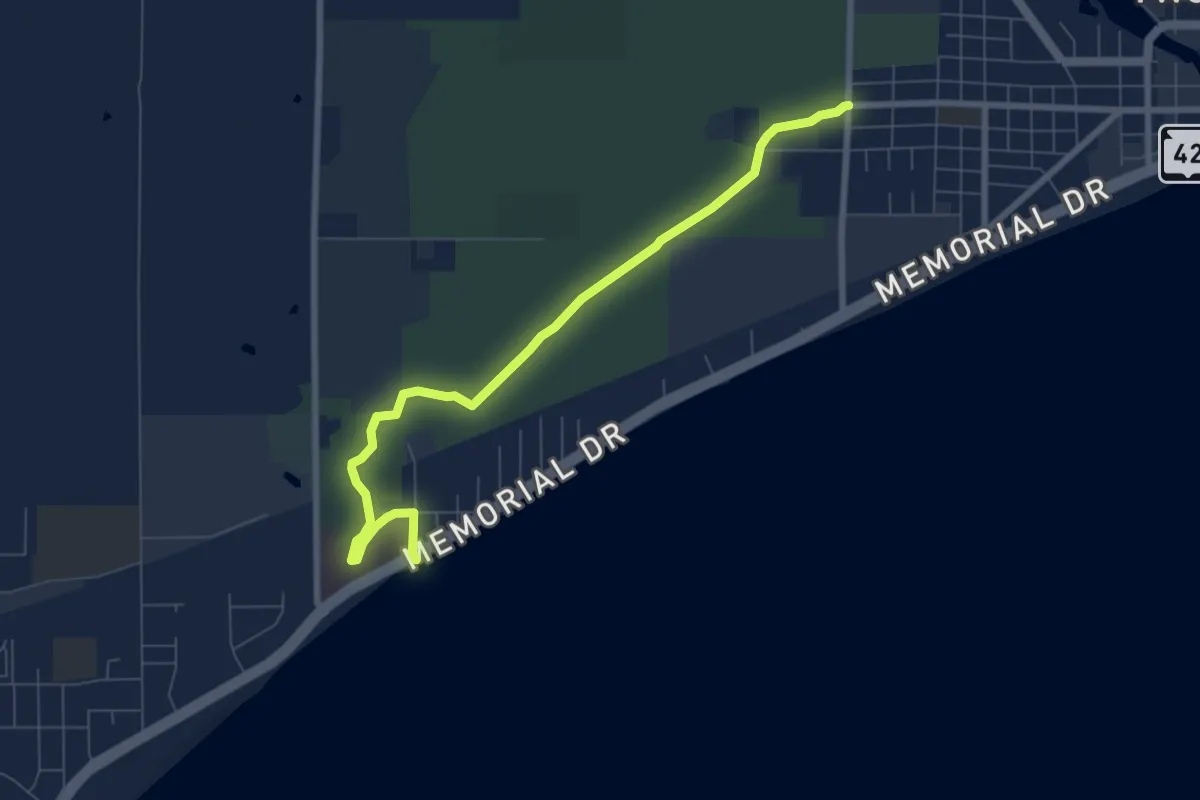
Medium · Trail
IAT - Dunes Segment
8.3 km · ↑ 0 m · 1 h 57 min
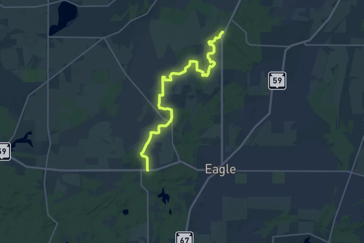
Medium · Trail
IAT - Eagle Segment
17.5 km · ↑ 83 m · 4 h 19 min
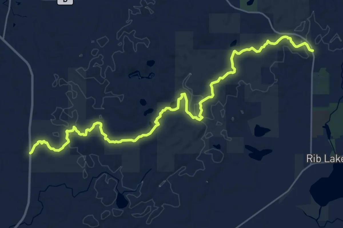
Demanding · Trail
IAT - East Lake Segment
22.3 km · ↑ 445 m · 6 h 14 min
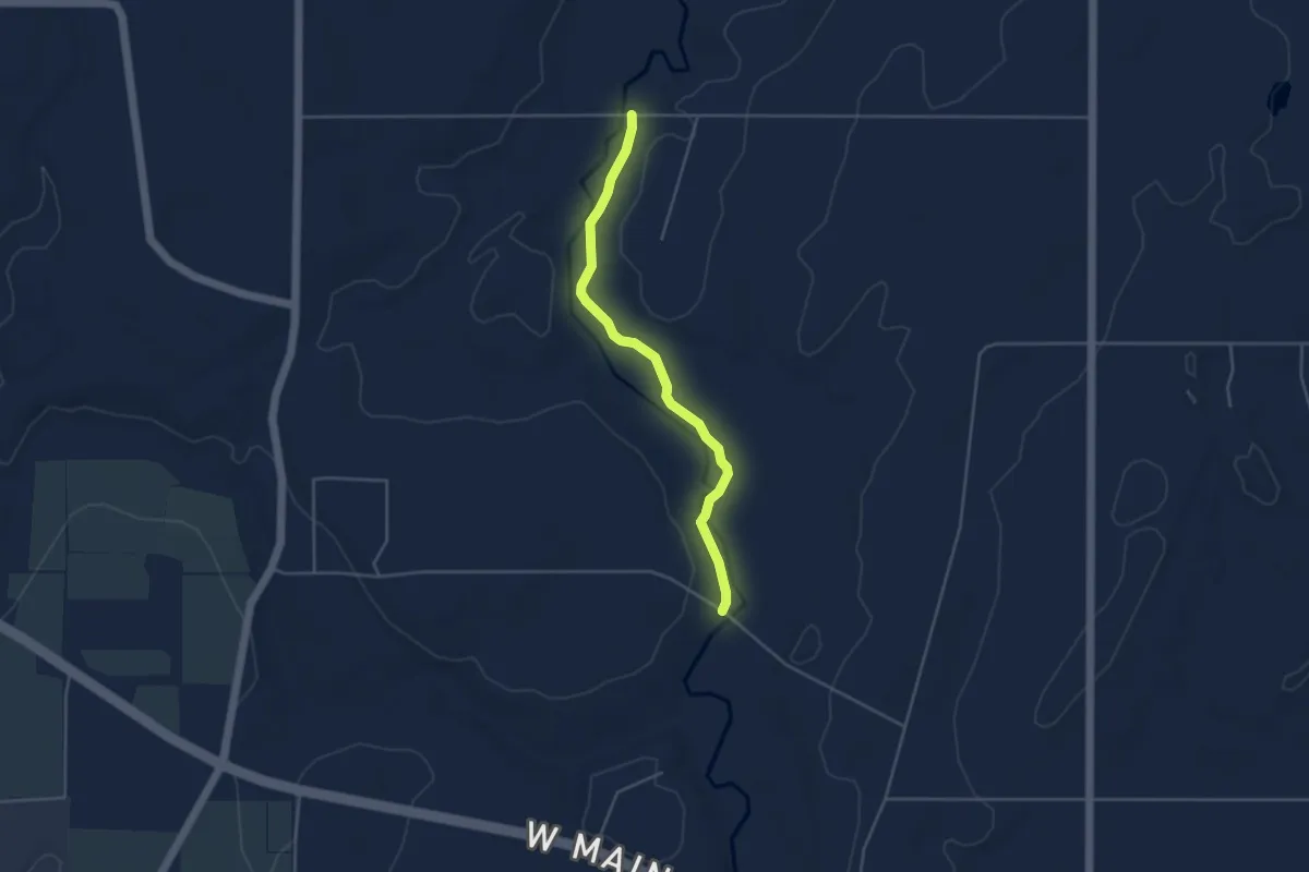
Easy · Trail
IAT - East Twin River Segment
4.2 km · ↑ 10 m · 1 h
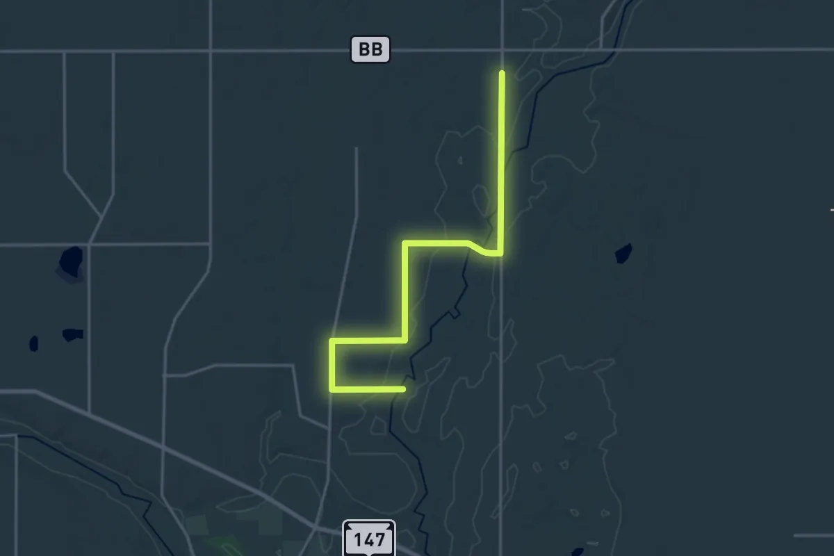
Demanding · Trail
IAT - East Twin River-Tisch Mills connection
18.8 km · ↑ 133 m · 4 h 44 min
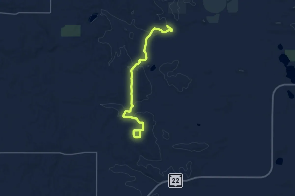
Medium · Trail
IAT - Emmons Creek Segment
13.4 km · ↑ 120 m · 3 h 25 min
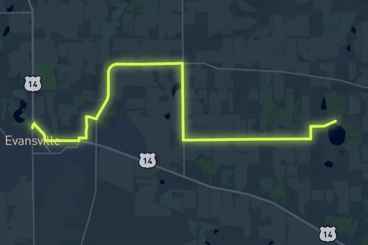
Demanding · Trail
IAT - Evansville-Gibbs Lake connection
30.3 km · ↑ 82 m · 7 h 20 min
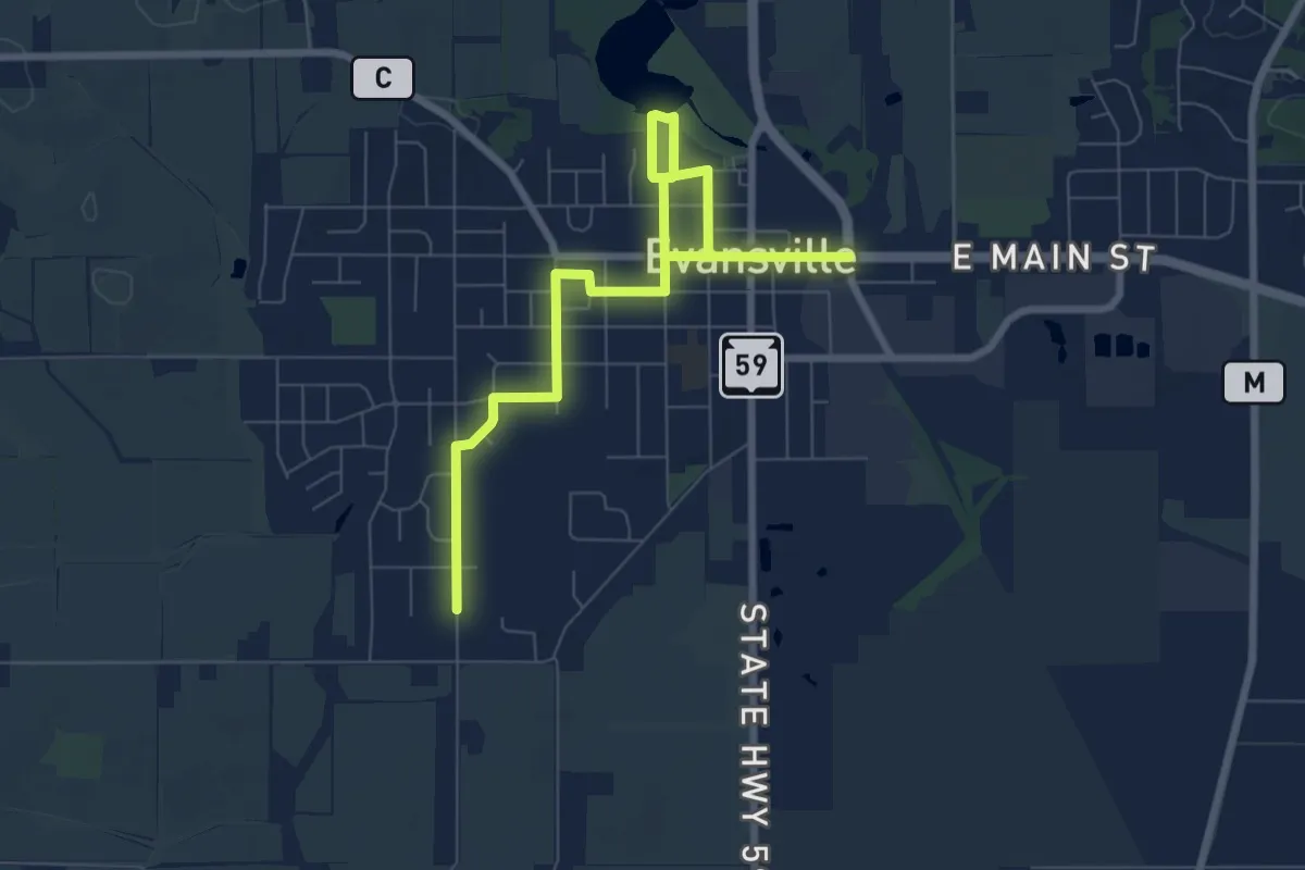
Medium · Trail
IAT - Evansville Segment
9.5 km · ↑ 28 m · 2 h 18 min
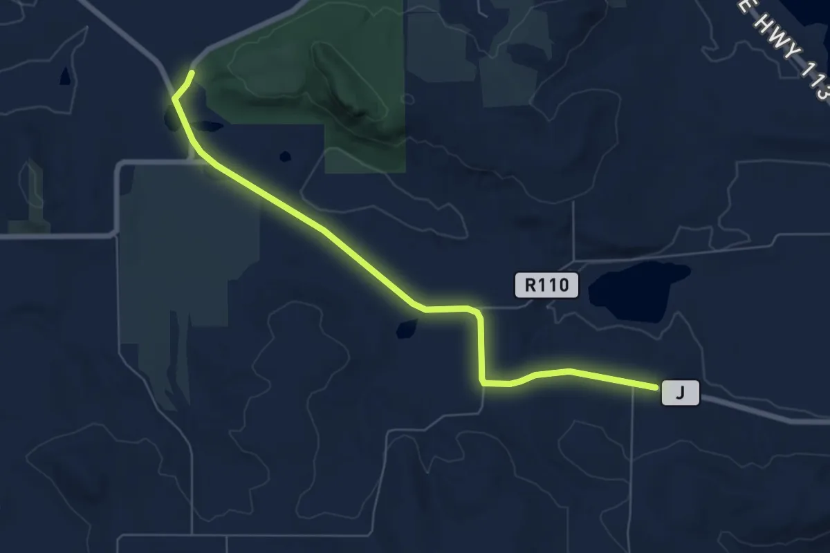
Easy · Trail
IAT - Fern Glen-Gibraltar Rock connection
7.2 km · ↑ 47 m · 1 h 48 min
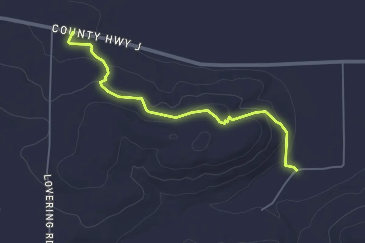
Easy · Trail
IAT - Fern Glen Segment
4.1 km · ↑ 140 m · 1 h 16 min
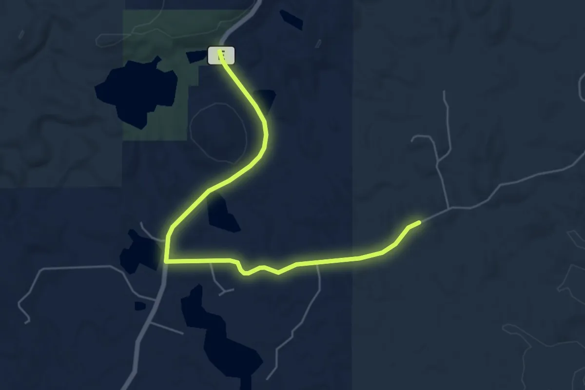
Easy · Trail
IAT - Firth Lake-Harwood Lakes connection
5.8 km · ↑ 61 m · 1 h 29 min
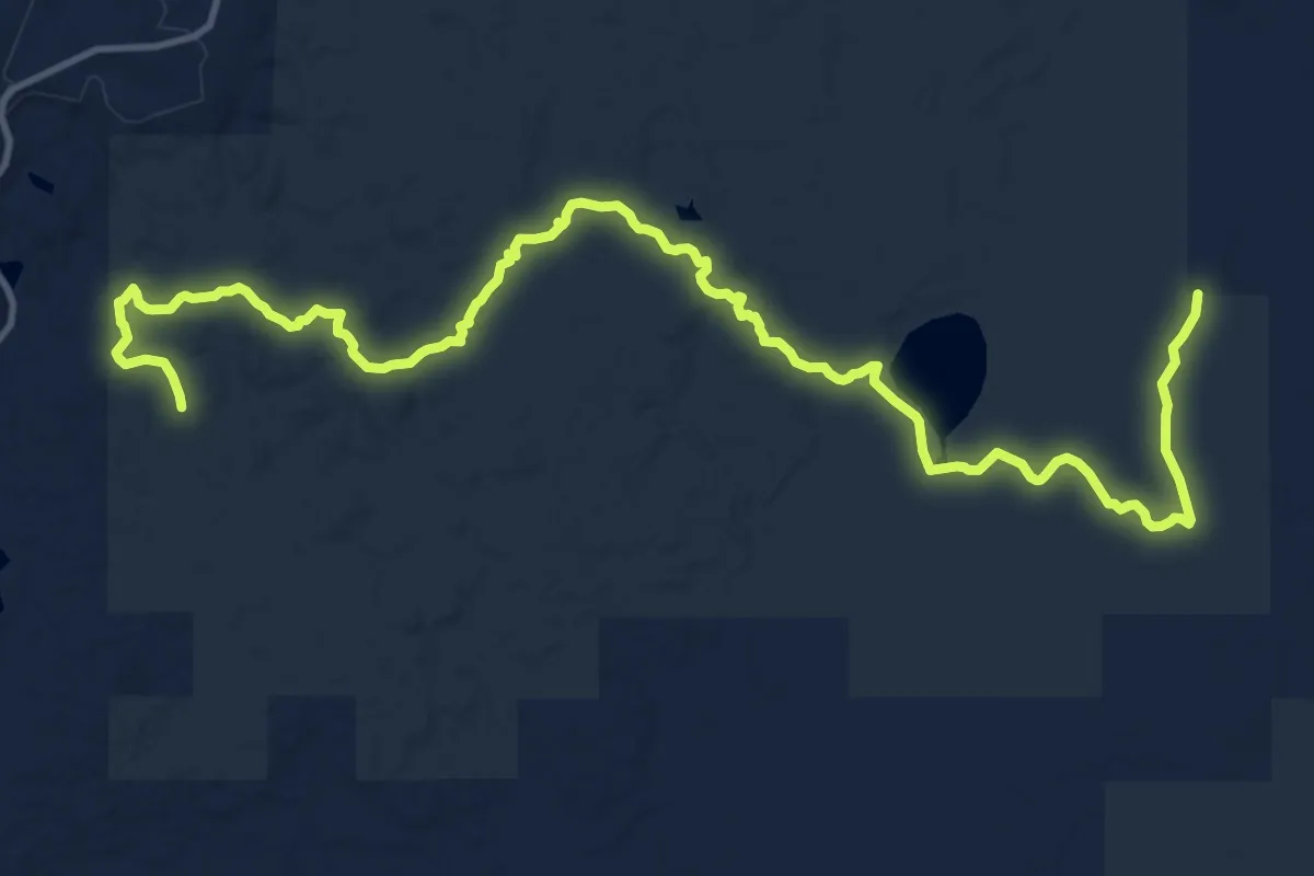
Demanding · Trail
IAT - Firth Lake Segment
18.7 km · ↑ 174 m · 4 h 47 min
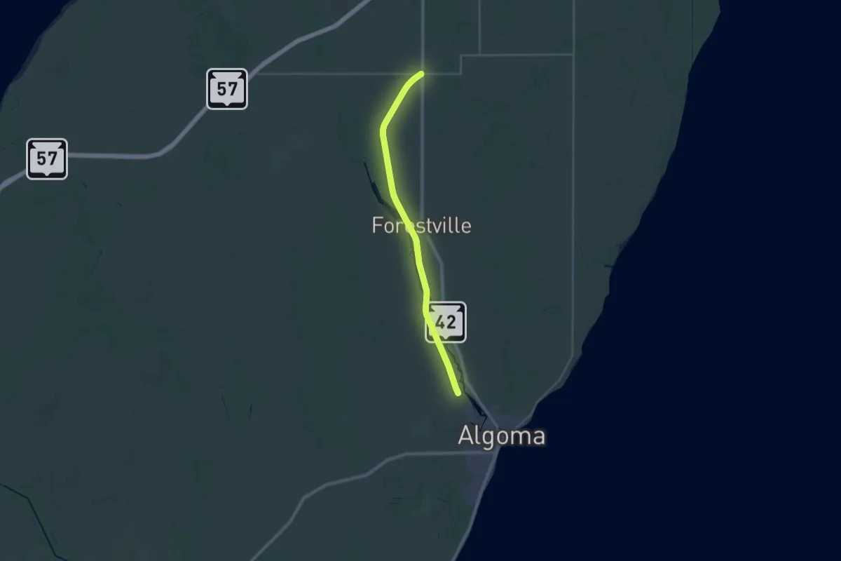
Demanding · Trail
IAT - Forestville Segment
29.4 km · ↑ 37 m · 7 h 1 min
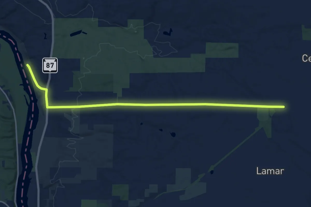
Medium · Trail
IAT - Gandy Dancer-Saint Croix Falls connection
14.5 km · ↑ 194 m · 3 h 50 min
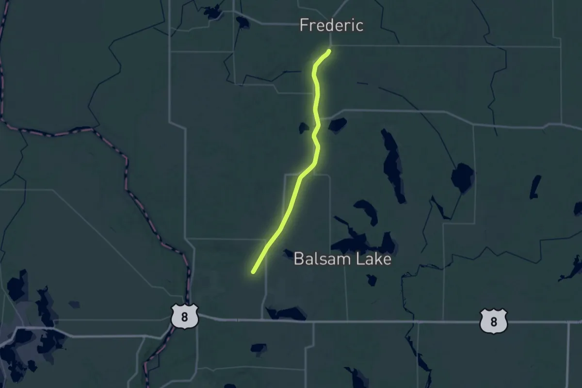
Demanding · Trail
IAT - Gandy Dancer Segment
24.4 km · ↑ 38 m · 6 h 11 min
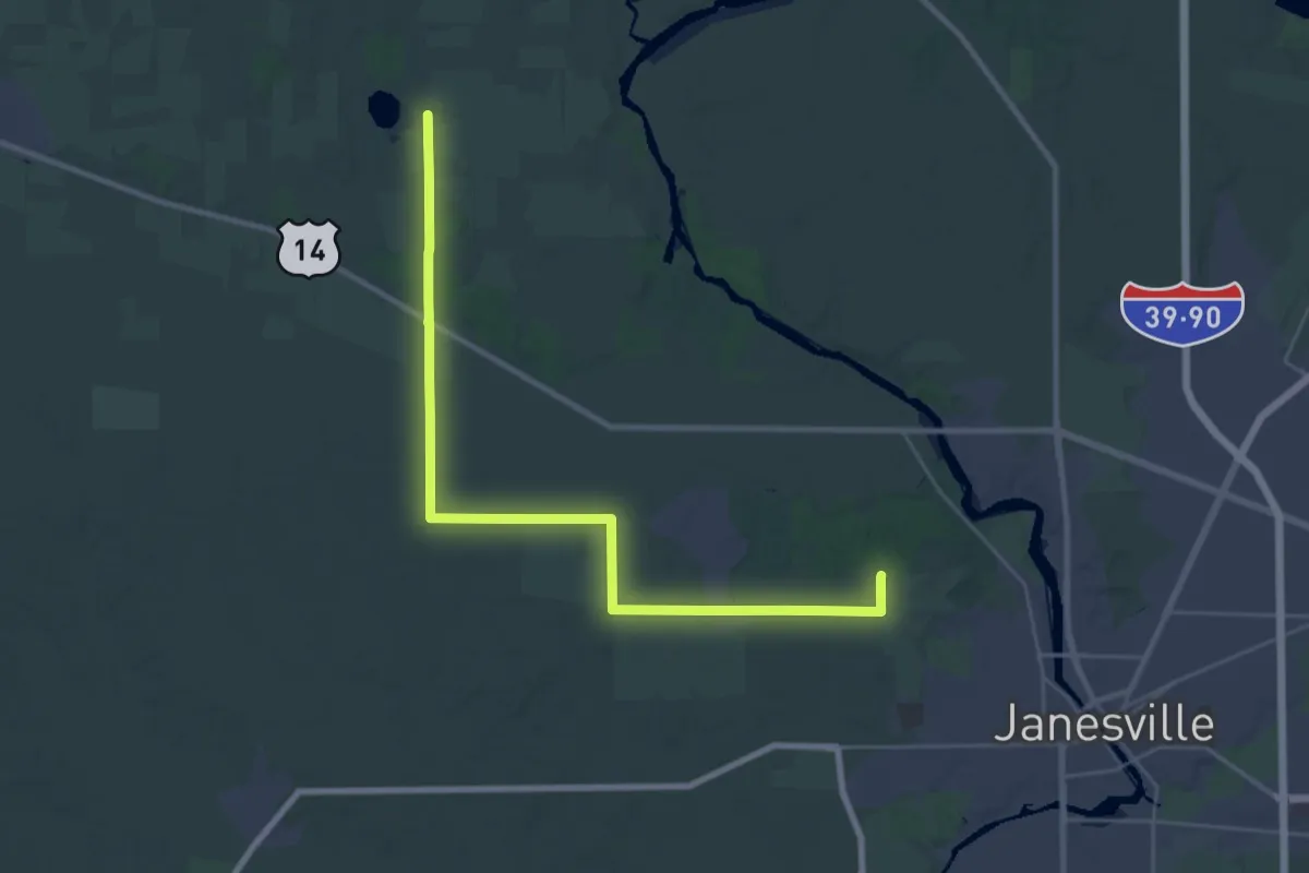
Medium · Trail
IAT - Gibbs Lake-Arbor Ridge connection
17.6 km · ↑ 106 m · 4 h 38 min
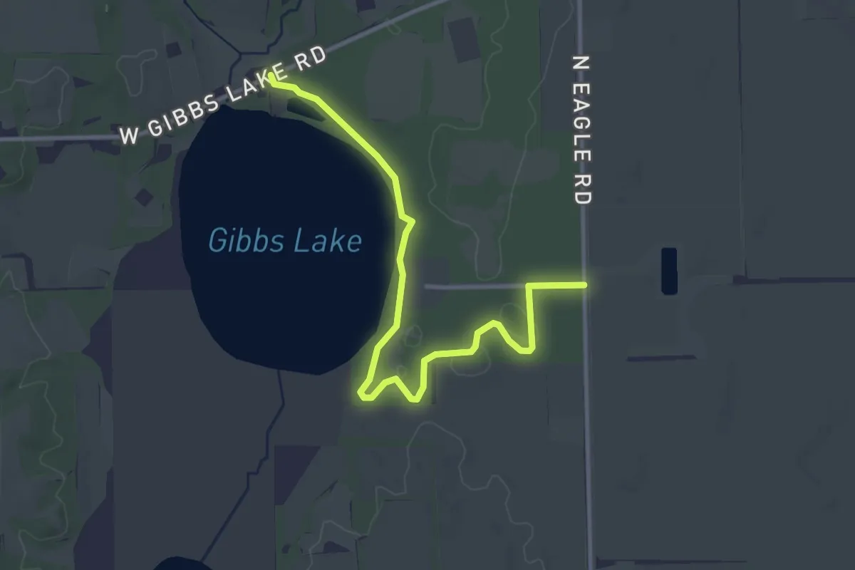
Easy · Trail
IAT - Gibbs Lake Segment
4.0 km · ↑ 10 m · 59 min
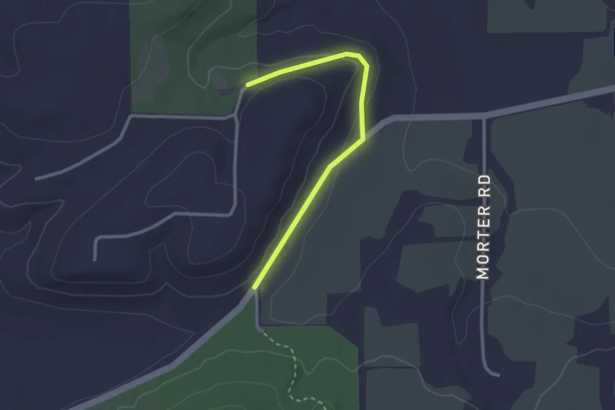
Easy · Trail
IAT - Gibraltar Rock connection
2.5 km · ↑ 52 m · 42 min
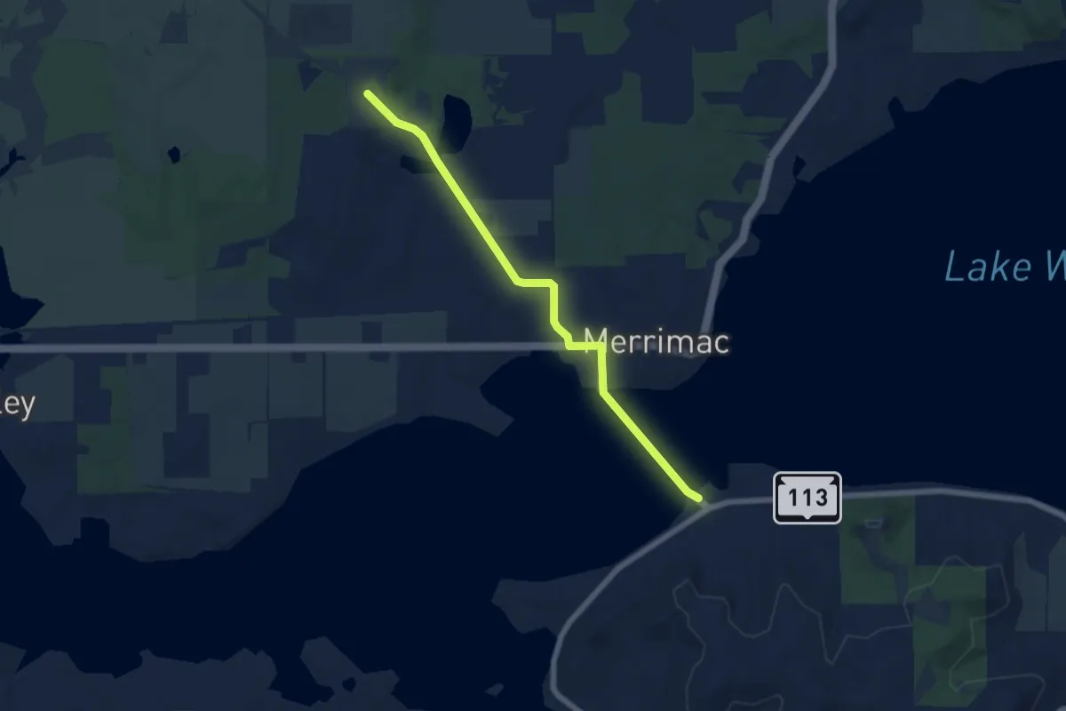
Easy · Trail
IAT - Gibraltar Rock-Merrimac connection
6.4 km · ↑ 51 m · 1 h 37 min
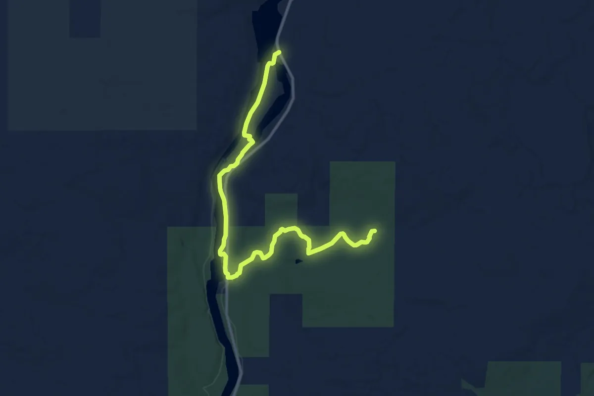
Medium · Trail
IAT - Grandfather Falls Segment
12.4 km · ↑ 93 m · 3 h 8 min
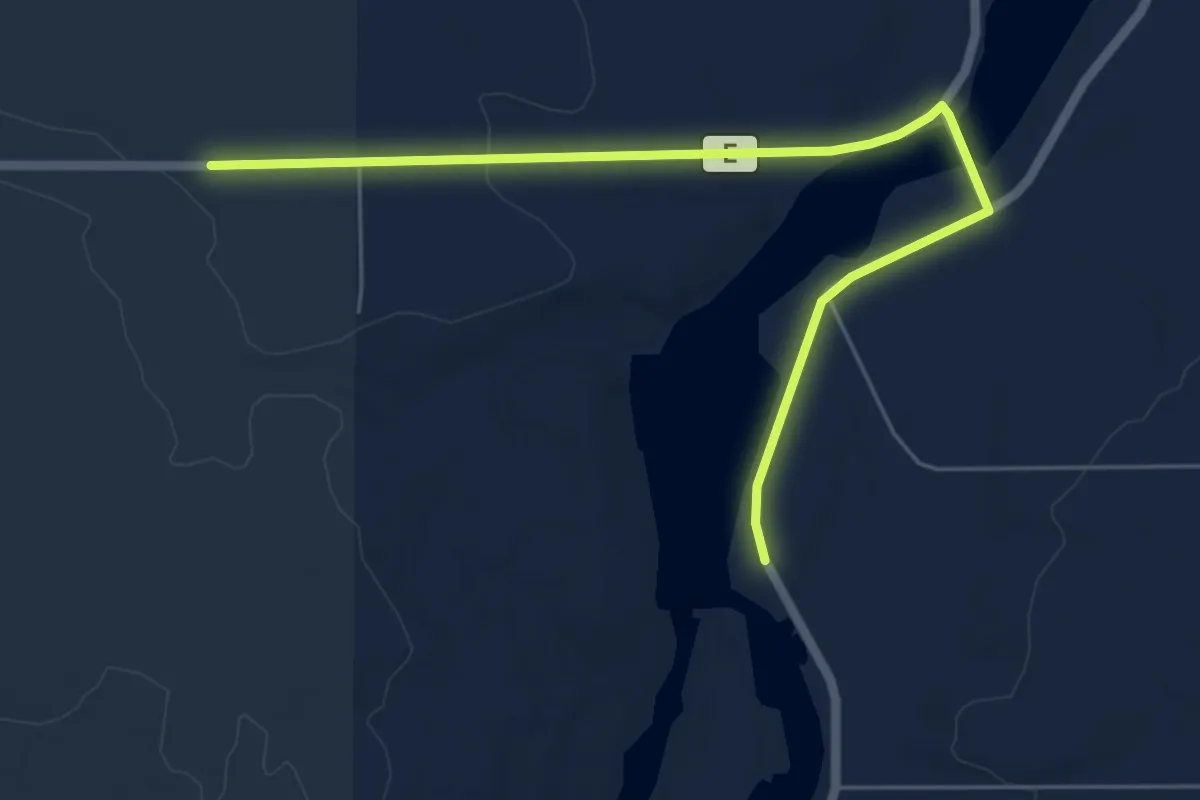
Easy · Trail
IAT - Grandfather Falls-Turtle Rock connection
6.7 km · ↑ 40 m · 1 h 40 min
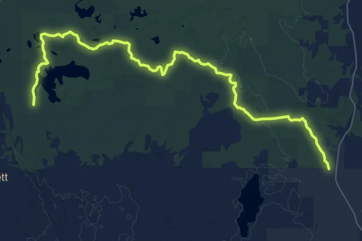
Demanding · Trail
IAT - Grassy Lake Segment
26.7 km · ↑ 163 m · 6 h 39 min
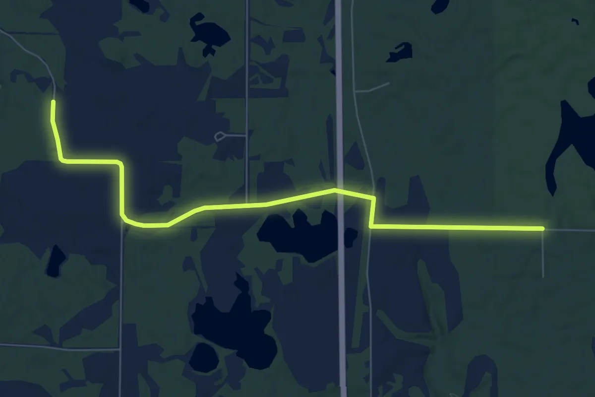
Medium · Trail
IAT - Grassy Lake-Timberland Hills Segment
8.1 km · ↑ 41 m · 2 h
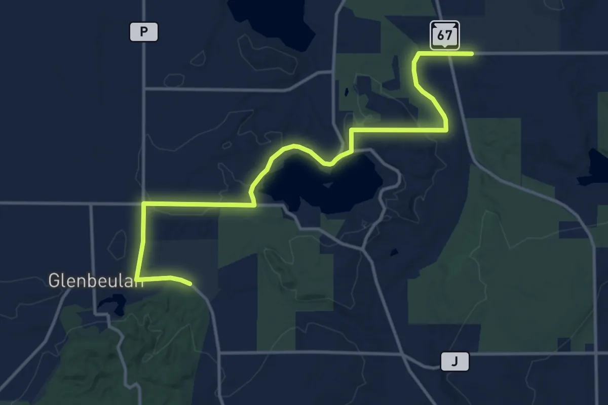
Medium · Trail
IAT - Greenbush-LaBudde Creek connection
13.6 km · ↑ 158 m · 3 h 33 min
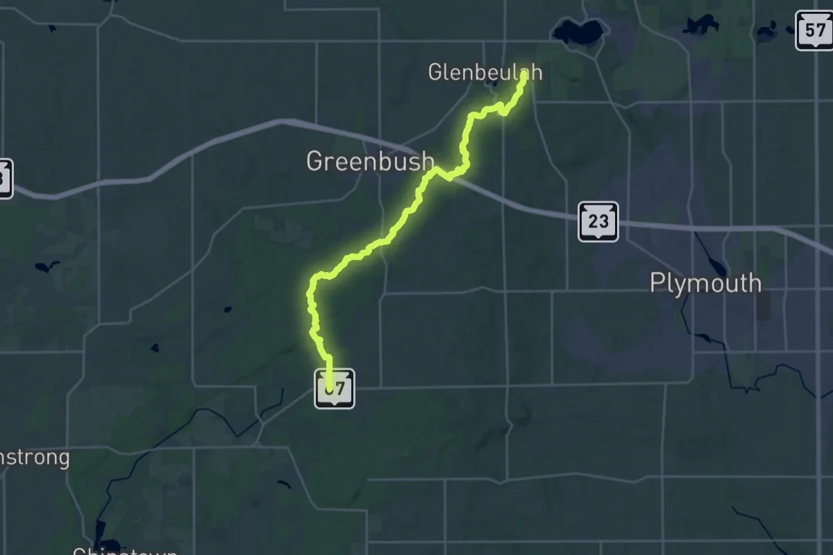
Demanding · Trail
IAT - Greenbush Segment
26.6 km · ↑ 517 m · 7 h 24 min
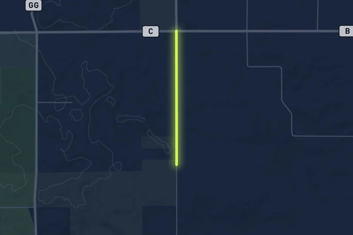
Easy · Trail
IAT - Greenwood-Bohn Lake connection
3.1 km · ↑ 20 m · 46 min
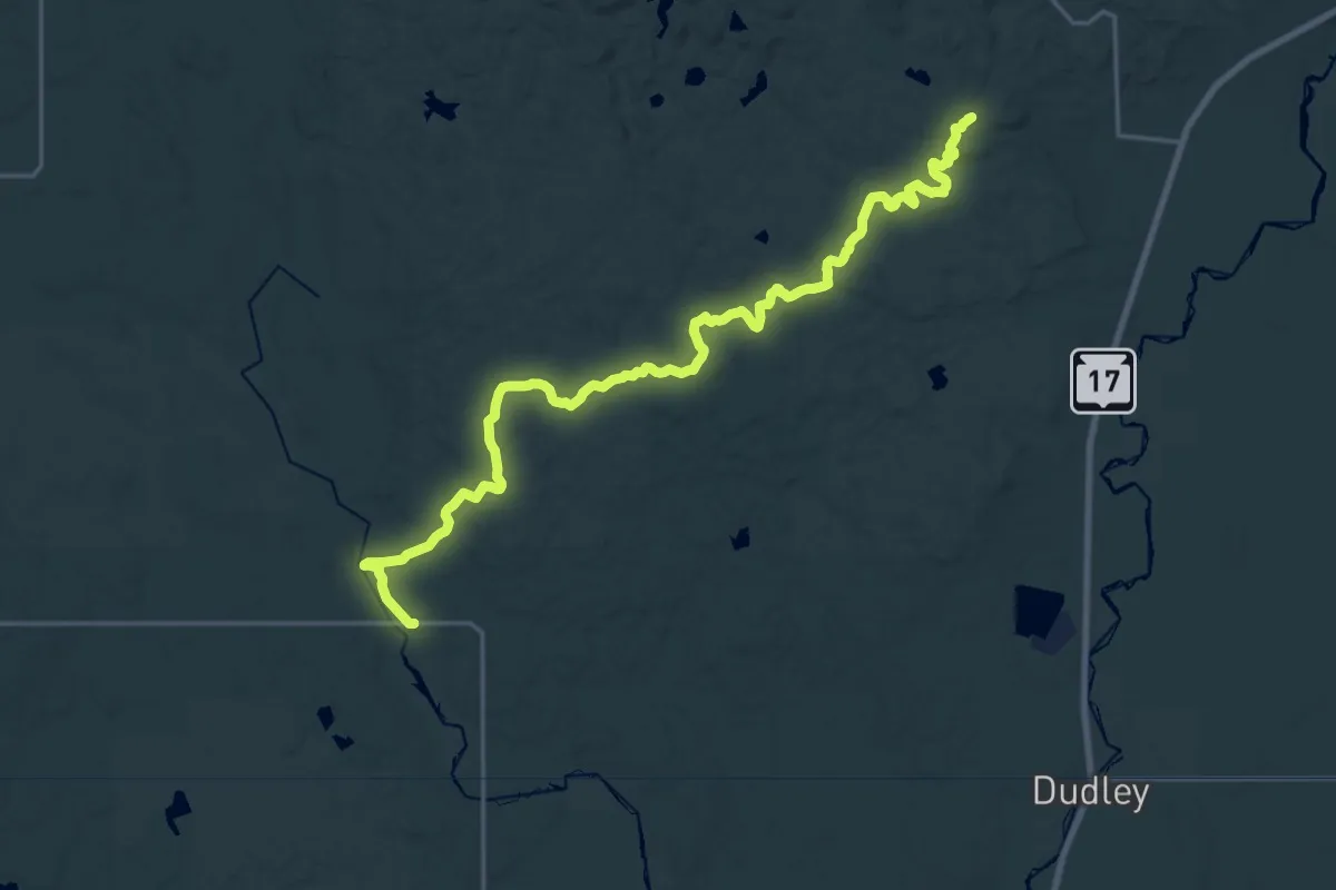
Demanding · Summit
IAT - Harrison Hills Segment
25.5 km · ↑ 413 m · 6 h 55 min
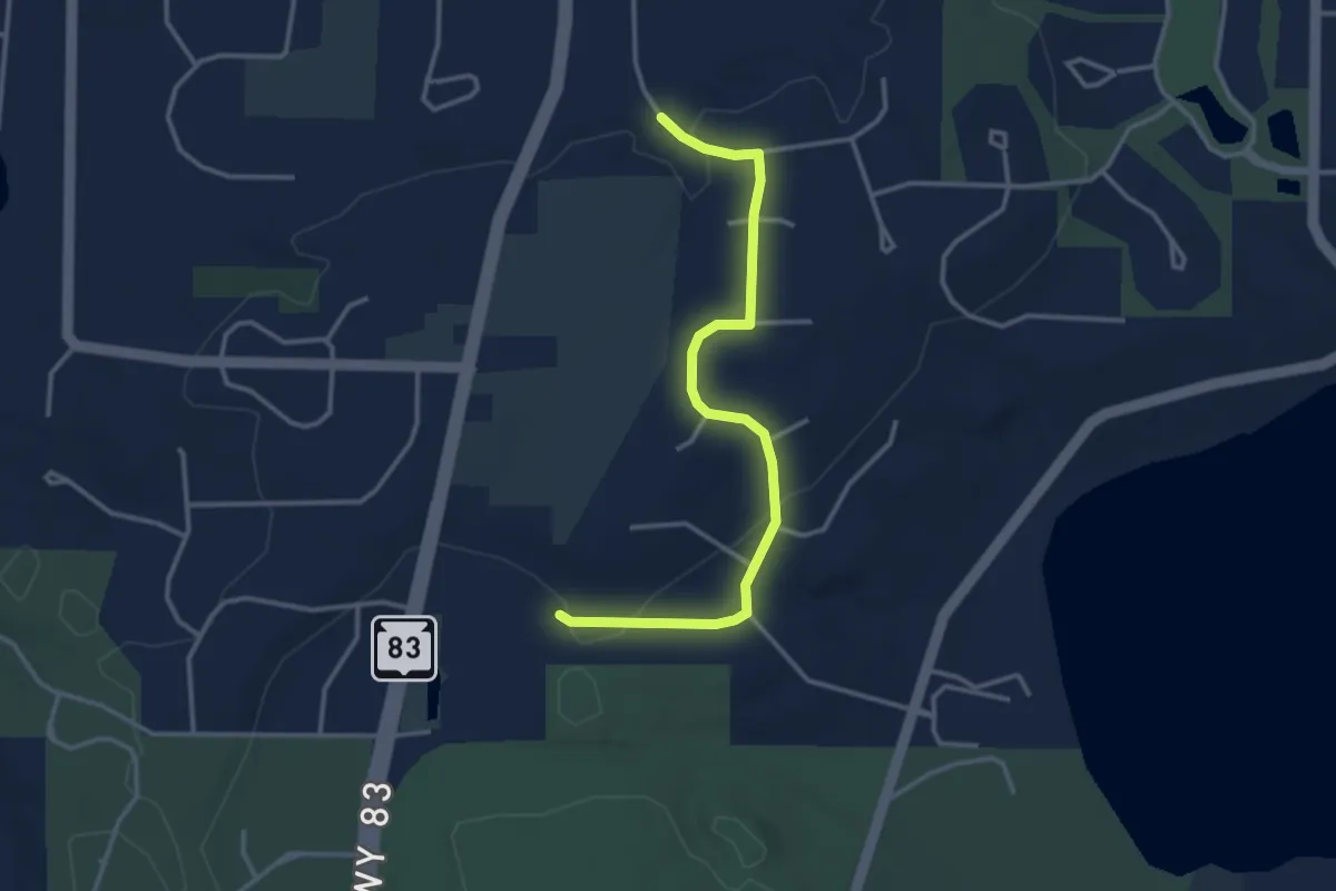
Easy · Trail
IAT - Hartland connection
3.7 km · ↑ 46 m · 58 min
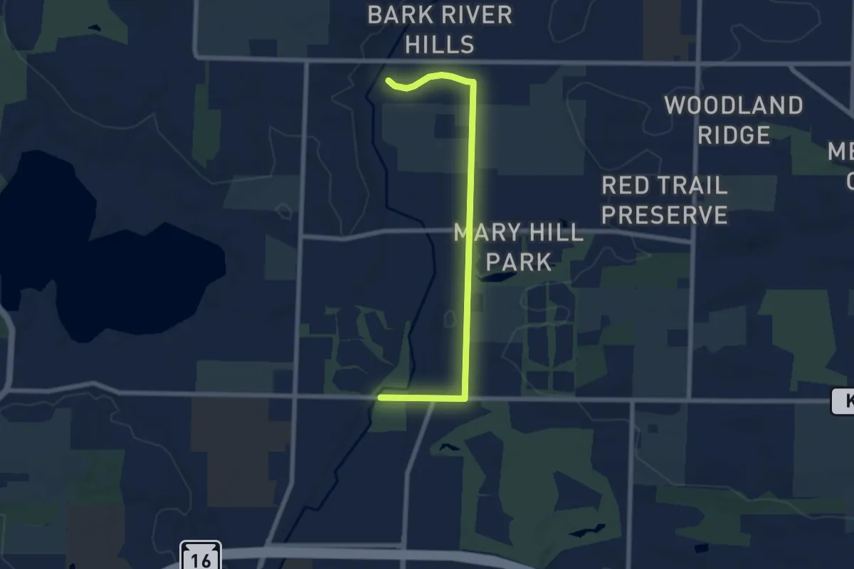
Easy · Trail
IAT - Hartland-Merton connection
7.1 km · ↑ 27 m · 1 h 43 min
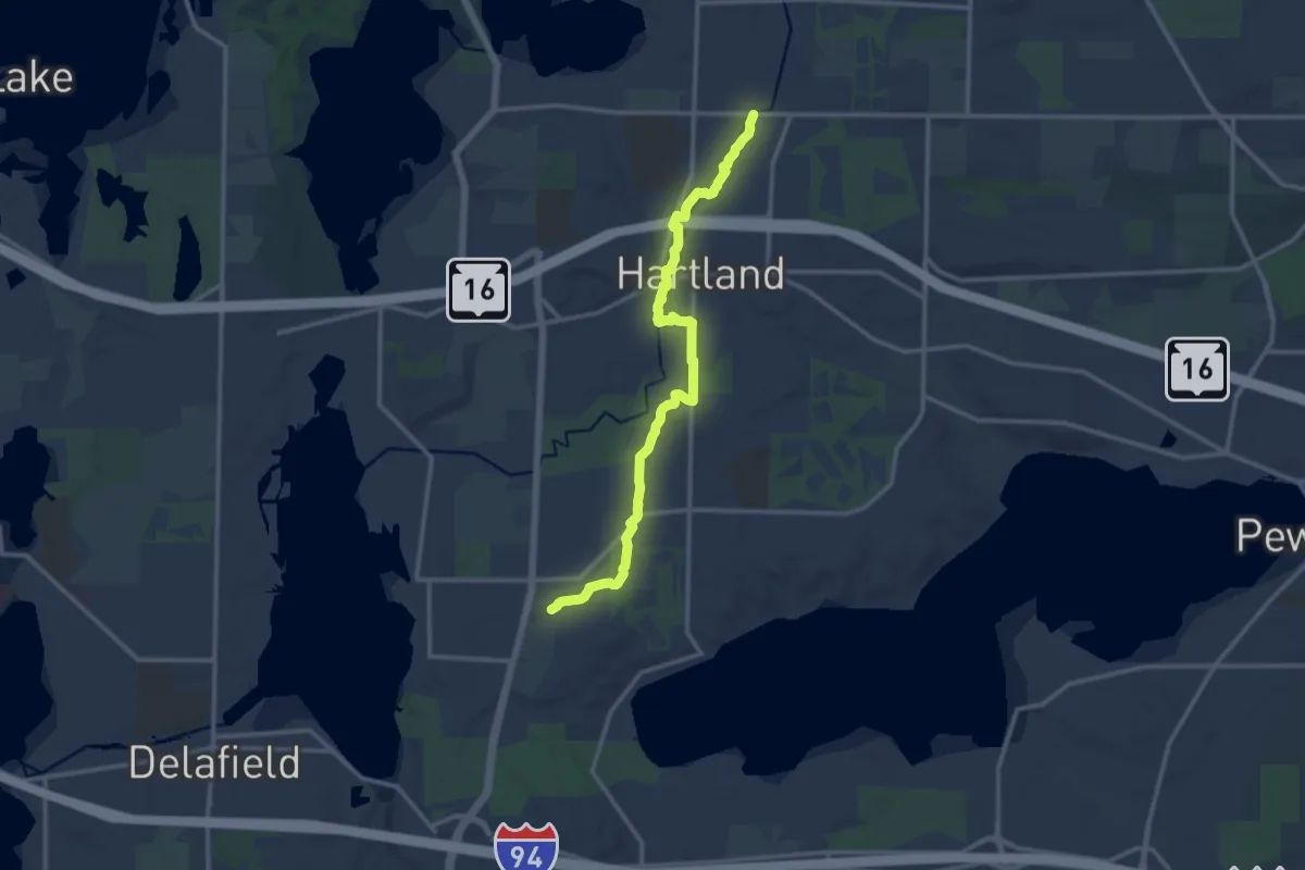
Medium · Trail
IAT - Hartland Segment
14.6 km · ↑ 76 m · 3 h 36 min
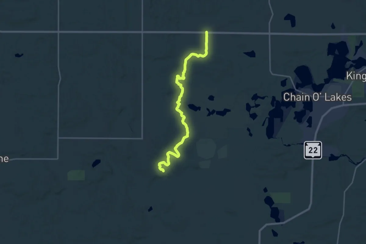
Medium · Trail
IAT - Hartman Creek Segment
16.7 km · ↑ 246 m · 4 h 29 min
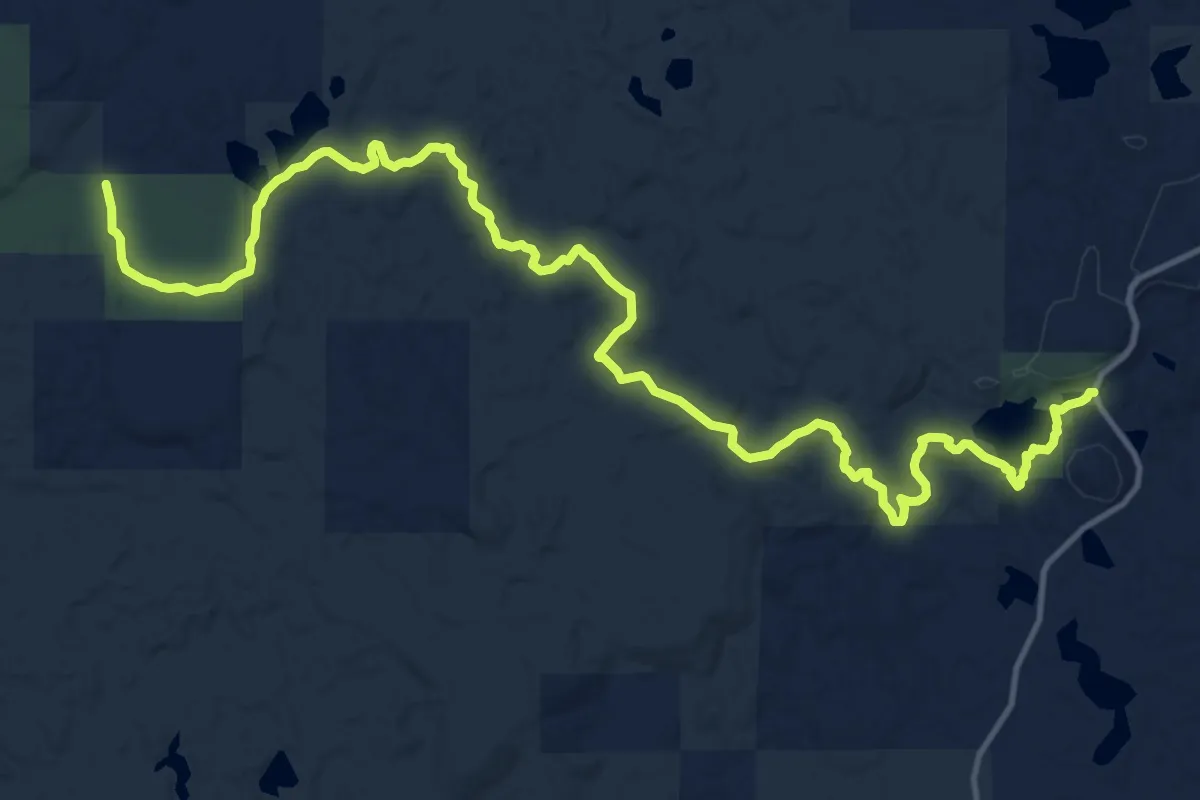
Demanding · Trail
IAT - Harwood Lakes Segment
19.2 km · ↑ 293 m · 5 h 10 min
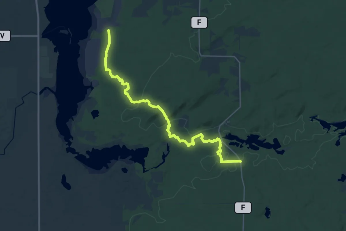
Demanding · Trail
IAT - Hemlock Creek Segment
21.9 km · ↑ 209 m · 5 h 37 min
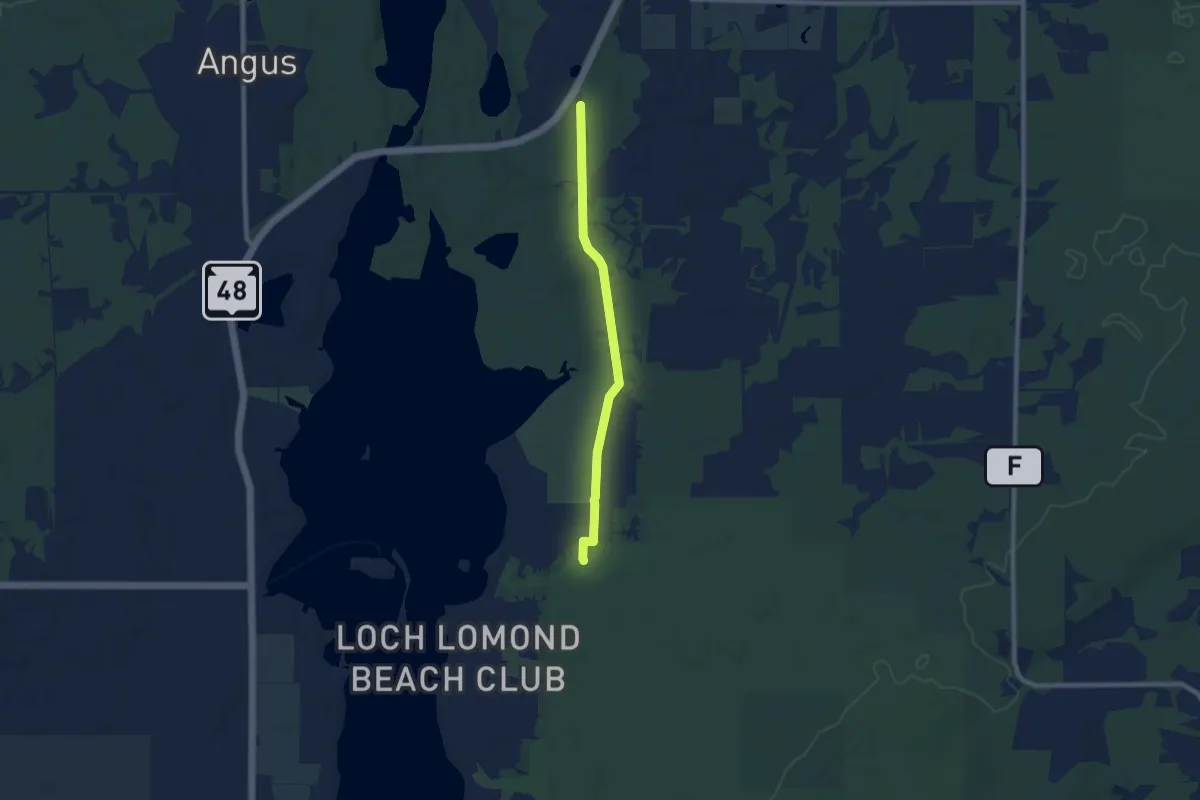
Easy · Trail
IAT - Hemlock Creek-Tuscobia connection
7.7 km · ↑ 44 m · 1 h 55 min
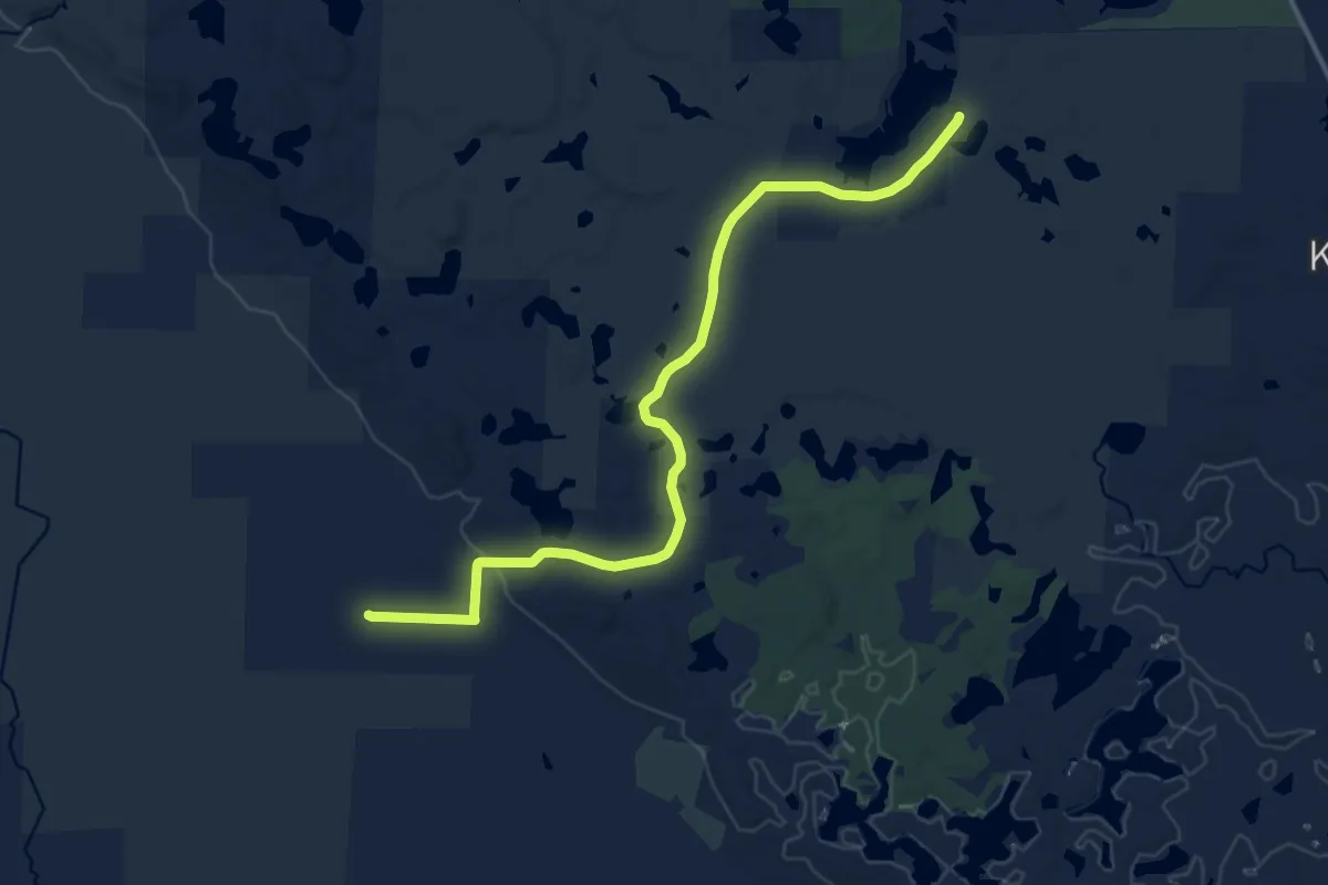
Medium · Trail
IAT - Highland Lakes connection
14.7 km · ↑ 61 m · 3 h 37 min
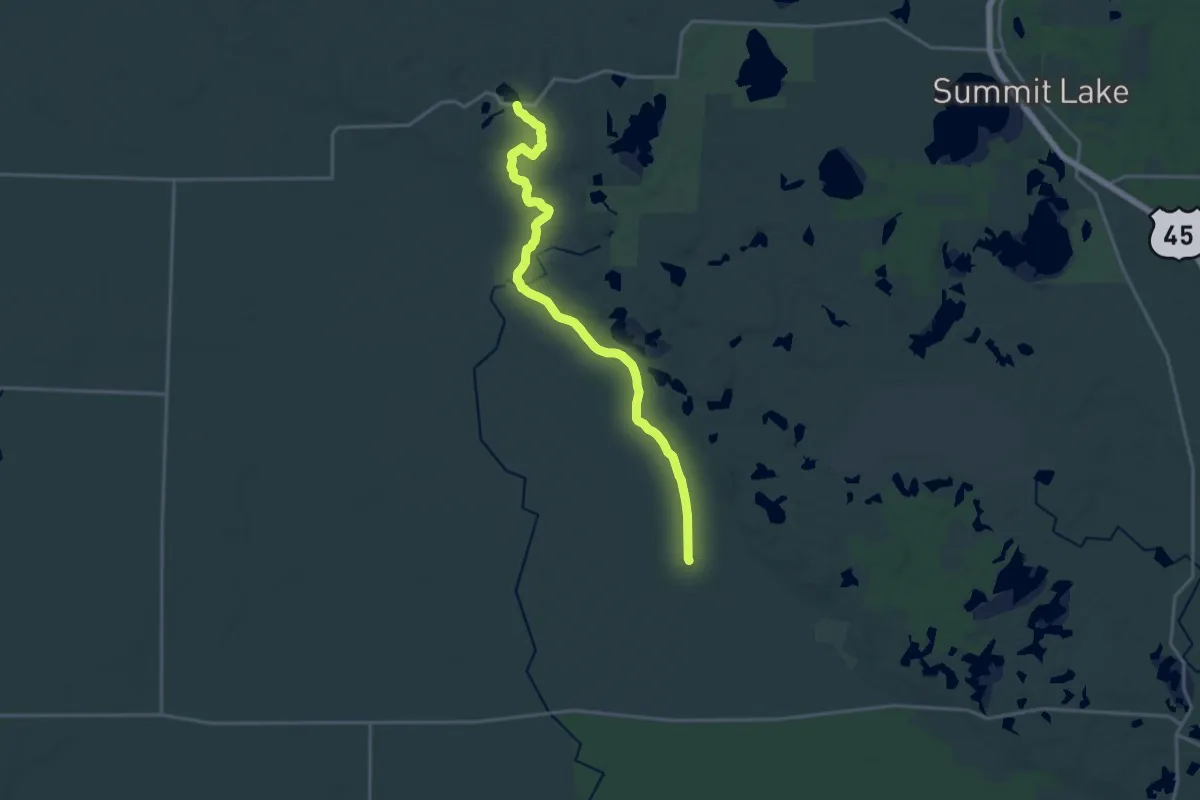
Demanding · Trail
IAT - Highland Lakes Segment
18.9 km · ↑ 123 m · 4 h 44 min
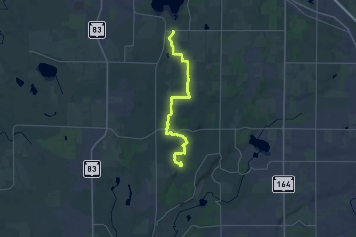
Demanding · Trail
IAT - Holy Hill Segment
22.1 km · ↑ 387 m · 6 h 3 min
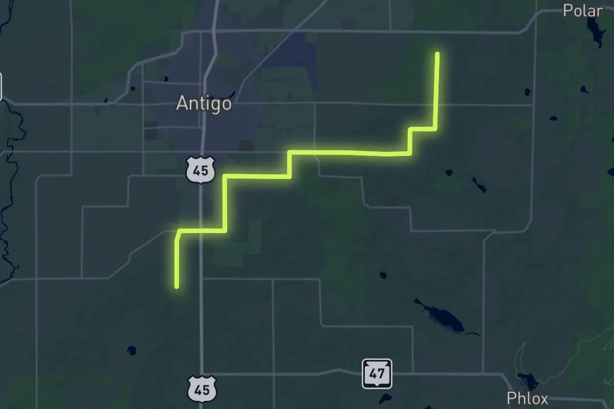
Medium · Trail
IAT - Ice Override-Antigo Heights connector
16.4 km · ↑ 50 m · 4 h 14 min