Trails in United States
10,367 hiking trails, each with its route, climb, walking time and grade.
All trails, page 92 of 216
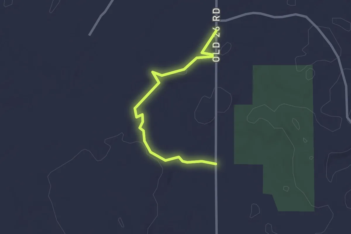
Easy · Trail
IAT - Ice Override Segment
2.3 km · ↑ 19 m · 35 min
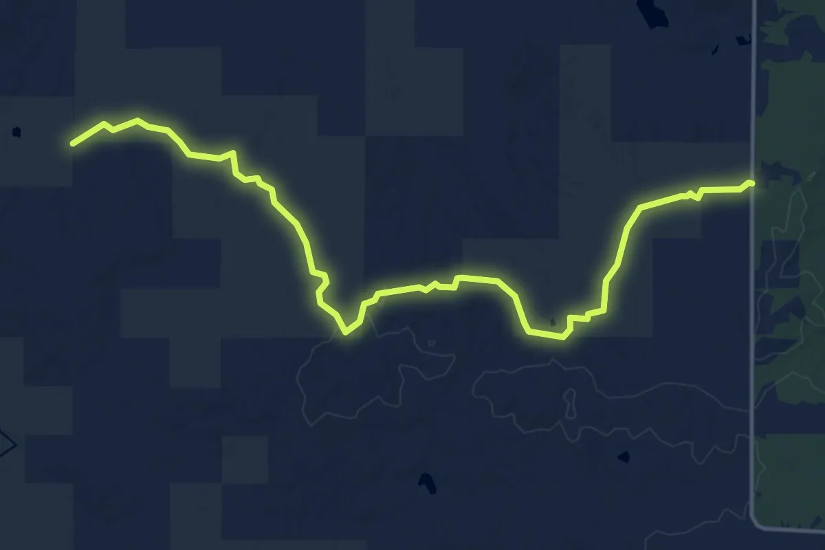
Medium · Trail
IAT - Indian Creek Segment
16.5 km · ↑ 204 m · 4 h 20 min
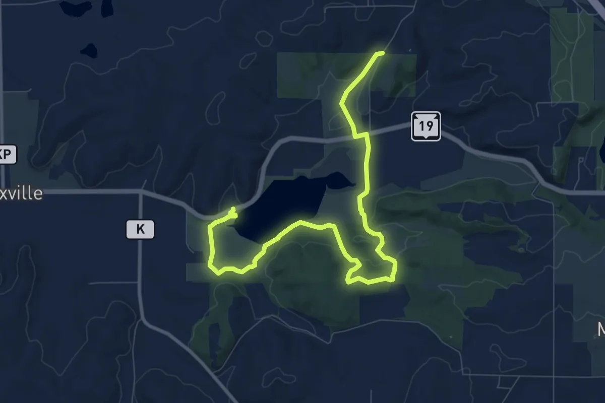
Medium · Trail
IAT - Indian Lake Segment
11.3 km · ↑ 164 m · 3 h 1 min
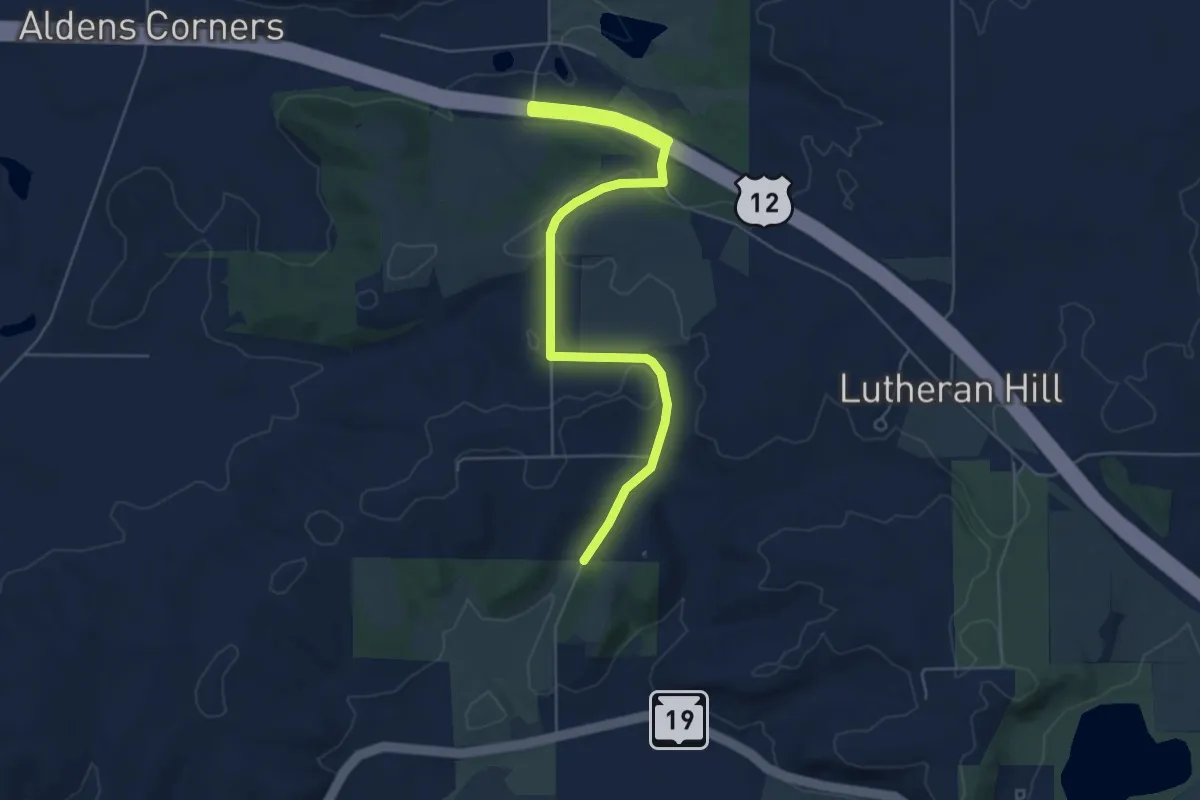
Easy · Trail
IAT - Indian Lake-Springfield Hill connection
7.3 km · ↑ 154 m · 2 h 4 min
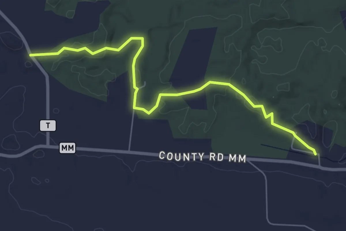
Easy · Trail
IAT - Iola Ski Hill Segment
6.1 km · ↑ 102 m · 1 h 40 min
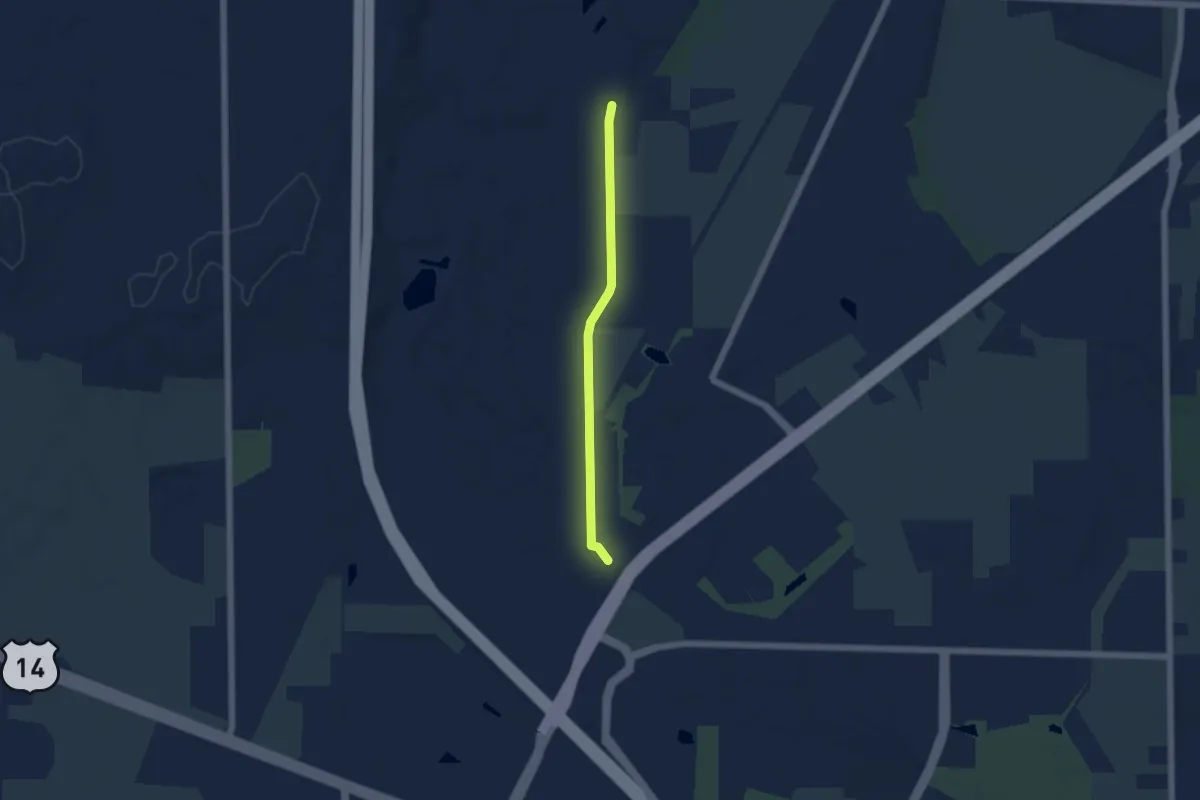
Easy · Trail
IAT - Janesville-Janesville to Milton connection
4.8 km · ↑ 21 m · 1 h 11 min
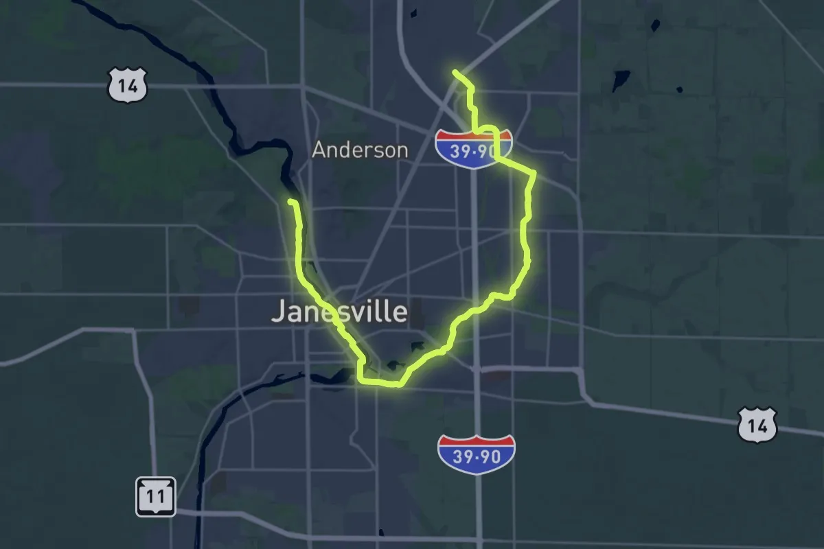
Medium · Trail
IAT - Janesville Segment
16.6 km · ↑ 16 m · 4 h 13 min
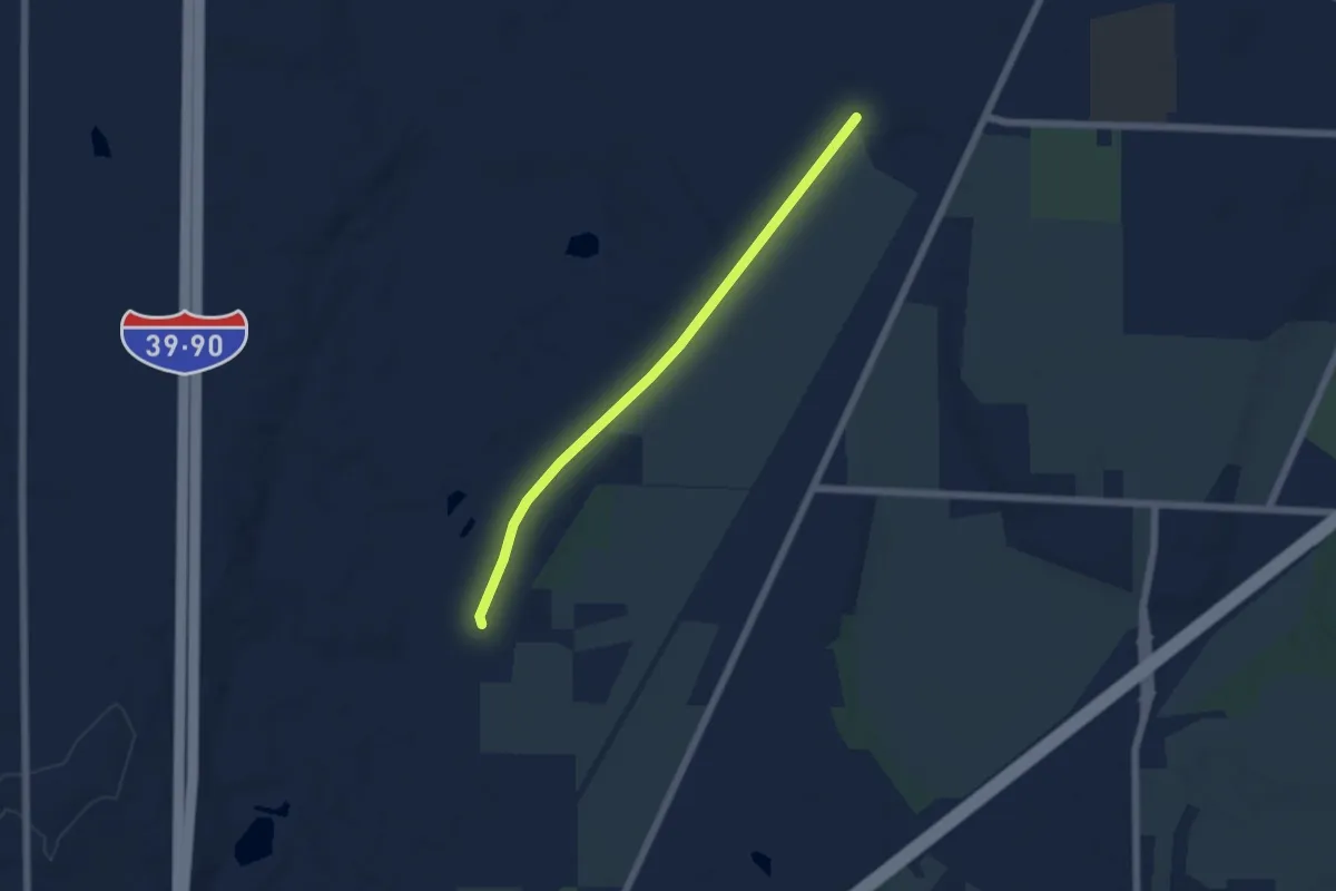
Easy · Trail
IAT - Janesville to Milton Segment
5.5 km · ↑ 5 m · 1 h 19 min
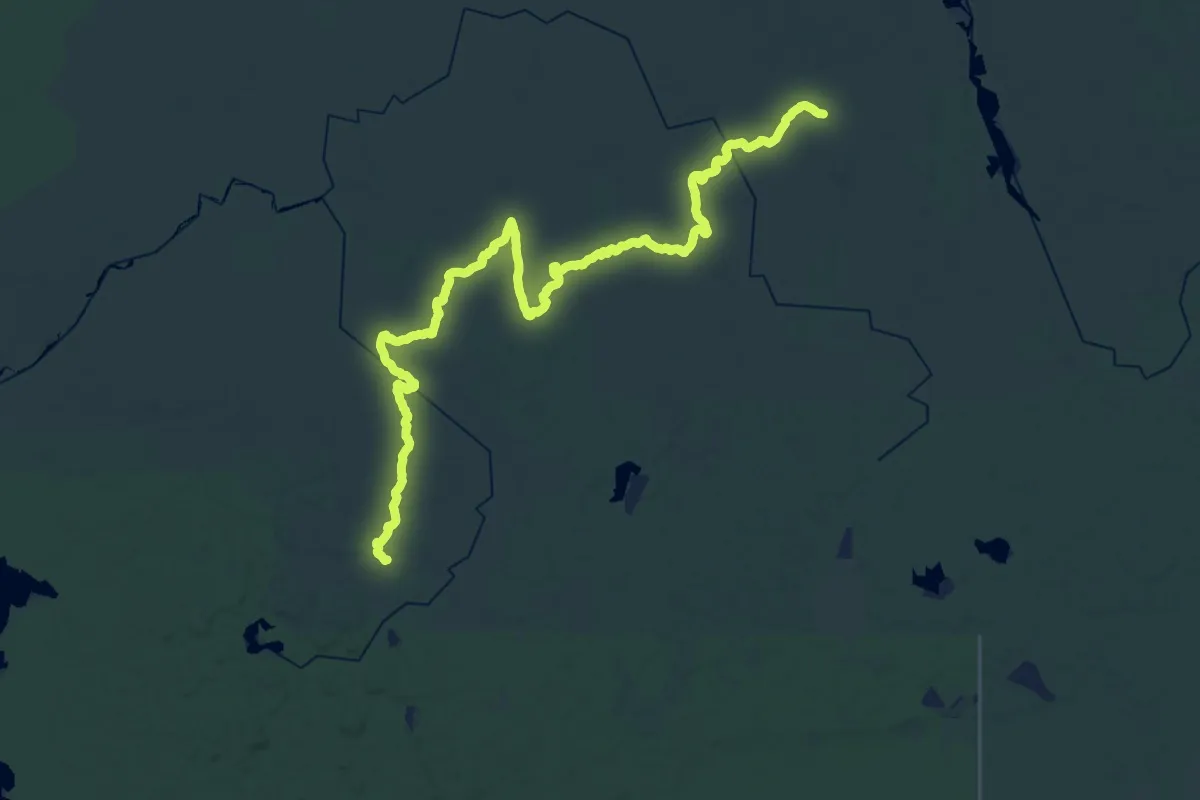
Demanding · Trail
IAT - Jerry Lake Segment
23.1 km · ↑ 130 m · 6 h 3 min
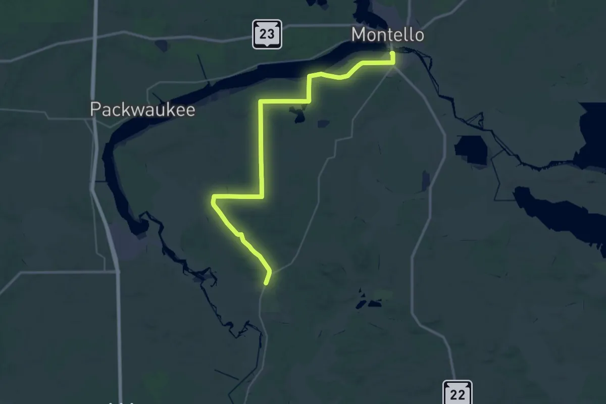
Demanding · Trail
IAT - John Muir Park-Montello connection
18.1 km · ↑ 113 m · 4 h 46 min
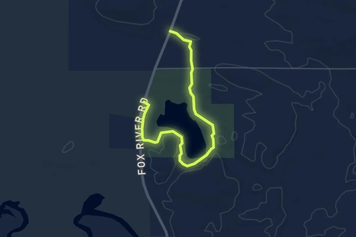
Easy · Trail
IAT - John Muir Park Segment
5.8 km · ↑ 19 m · 1 h 25 min
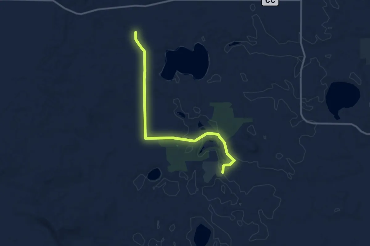
Medium · Trail
IAT - Karner Blue-Chaffee Creek connection
9.7 km · ↑ 73 m · 2 h 27 min
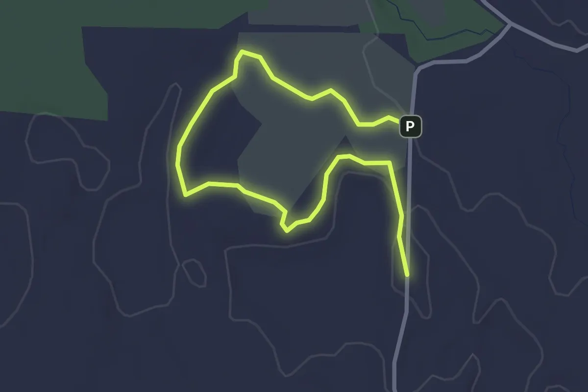
Easy · Trail
IAT - Karner Blue Segment
3.7 km · ↑ 17 m · 54 min
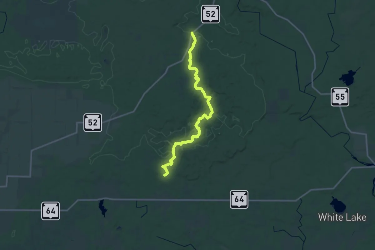
Medium · Trail
IAT - Kettlebowl Segment
16.2 km · ↑ 243 m · 4 h 33 min
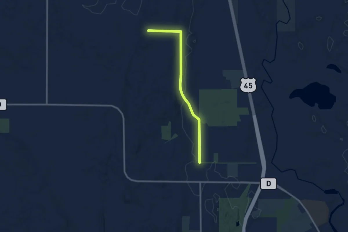
Easy · Trail
IAT - Kewaskum connection
7.2 km · ↑ 65 m · 1 h 51 min
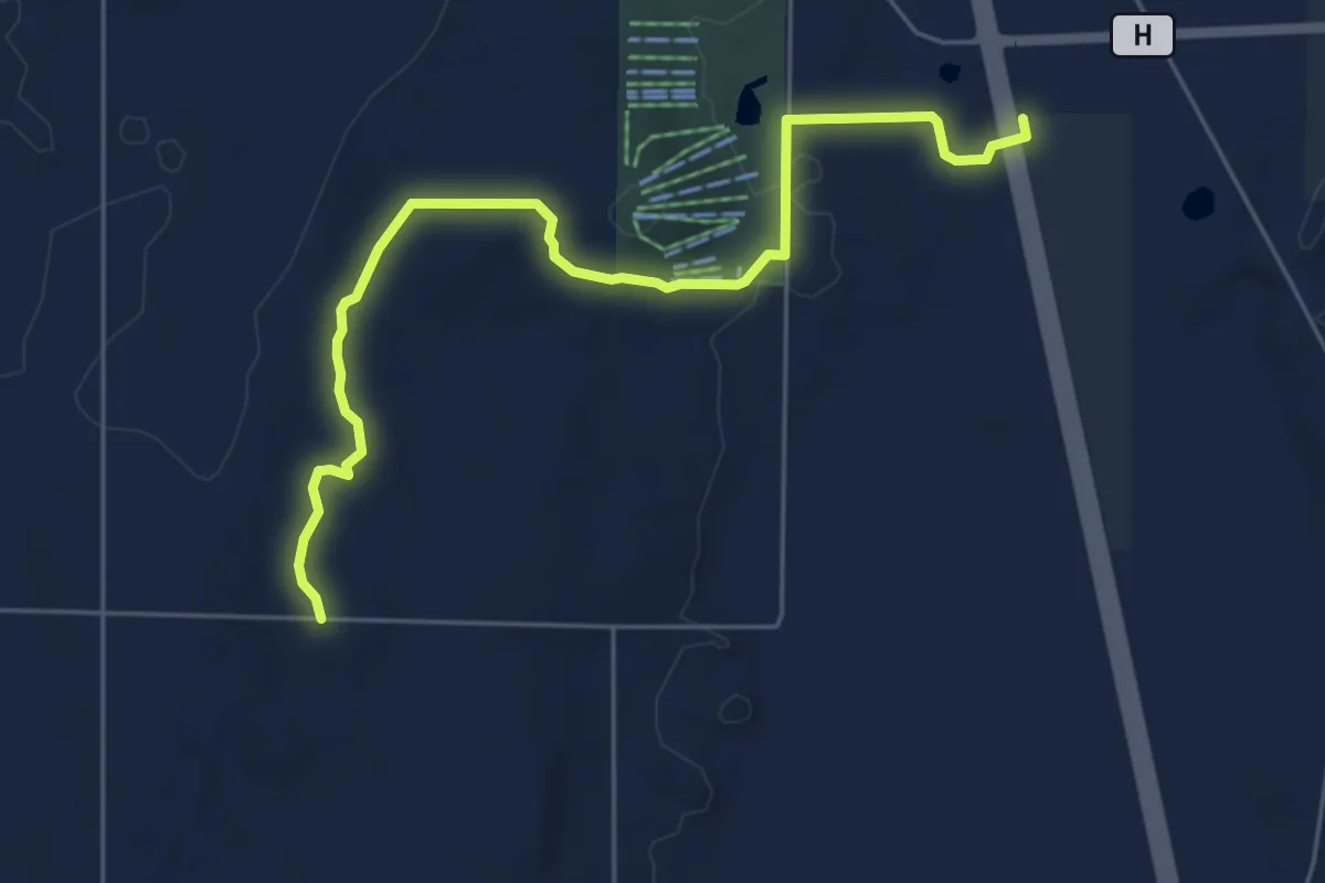
Easy · Trail
IAT - Kewaskum Segment
6.5 km · ↑ 121 m · 1 h 48 min
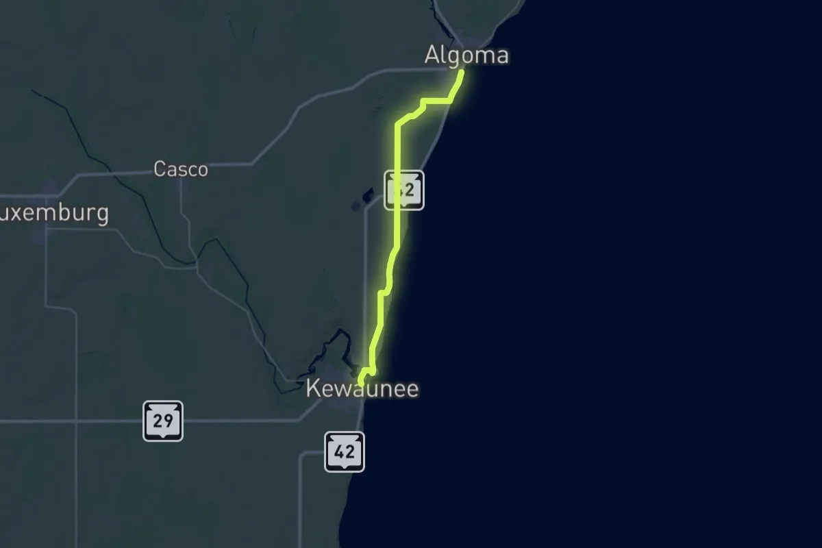
Demanding · Trail
IAT - Kewaunee River-Algoma connection
19.0 km · ↑ 62 m · 4 h 53 min
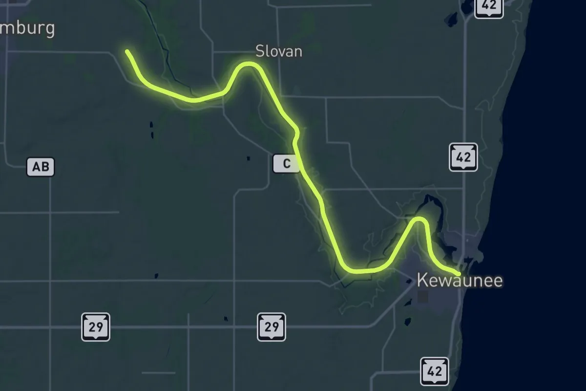
Demanding · Trail
IAT - Kewaunee River Segment
20.1 km · ↑ 18 m · 5 h 5 min
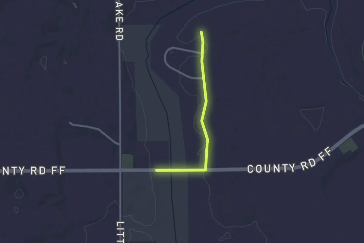
Easy · Trail
IAT - LaBudde Creek connection
2.2 km · ↑ 13 m · 32 min
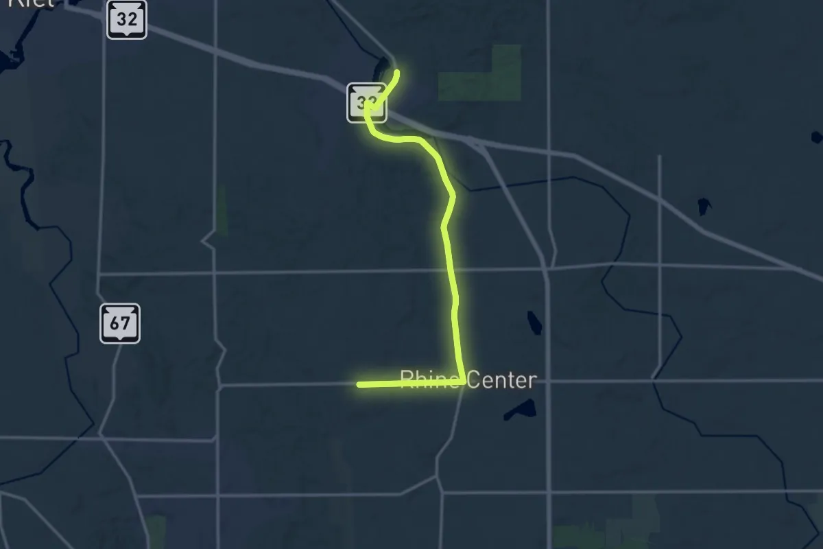
Medium · Trail
IAT - LaBudde Creek-Walla Hi connection
14.2 km · ↑ 103 m · 3 h 34 min
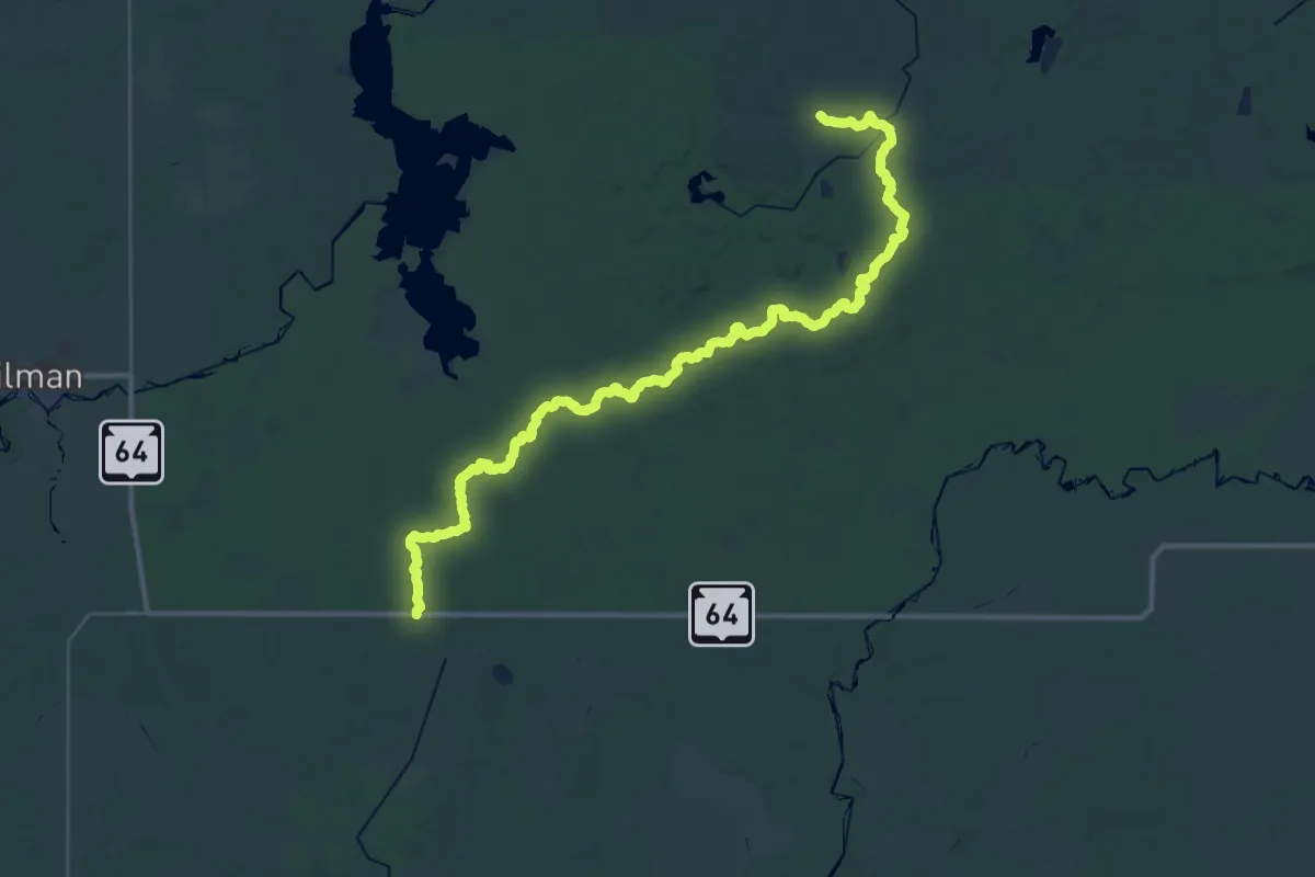
Demanding · Trail
IAT - Lake Eleven Segment
24.1 km · ↑ 255 m · 6 h 36 min
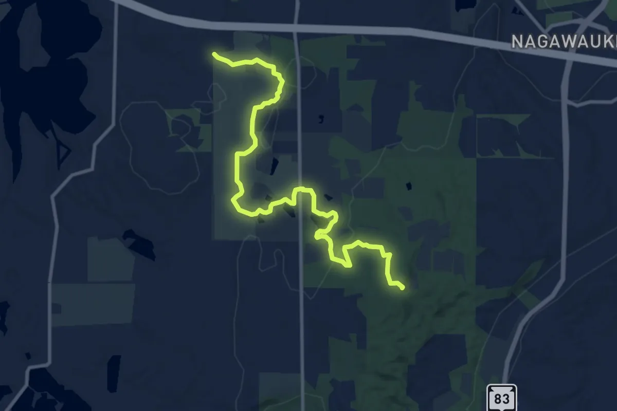
Medium · Summit
IAT - Lapham Peak Segment
11.0 km · ↑ 154 m · 2 h 57 min
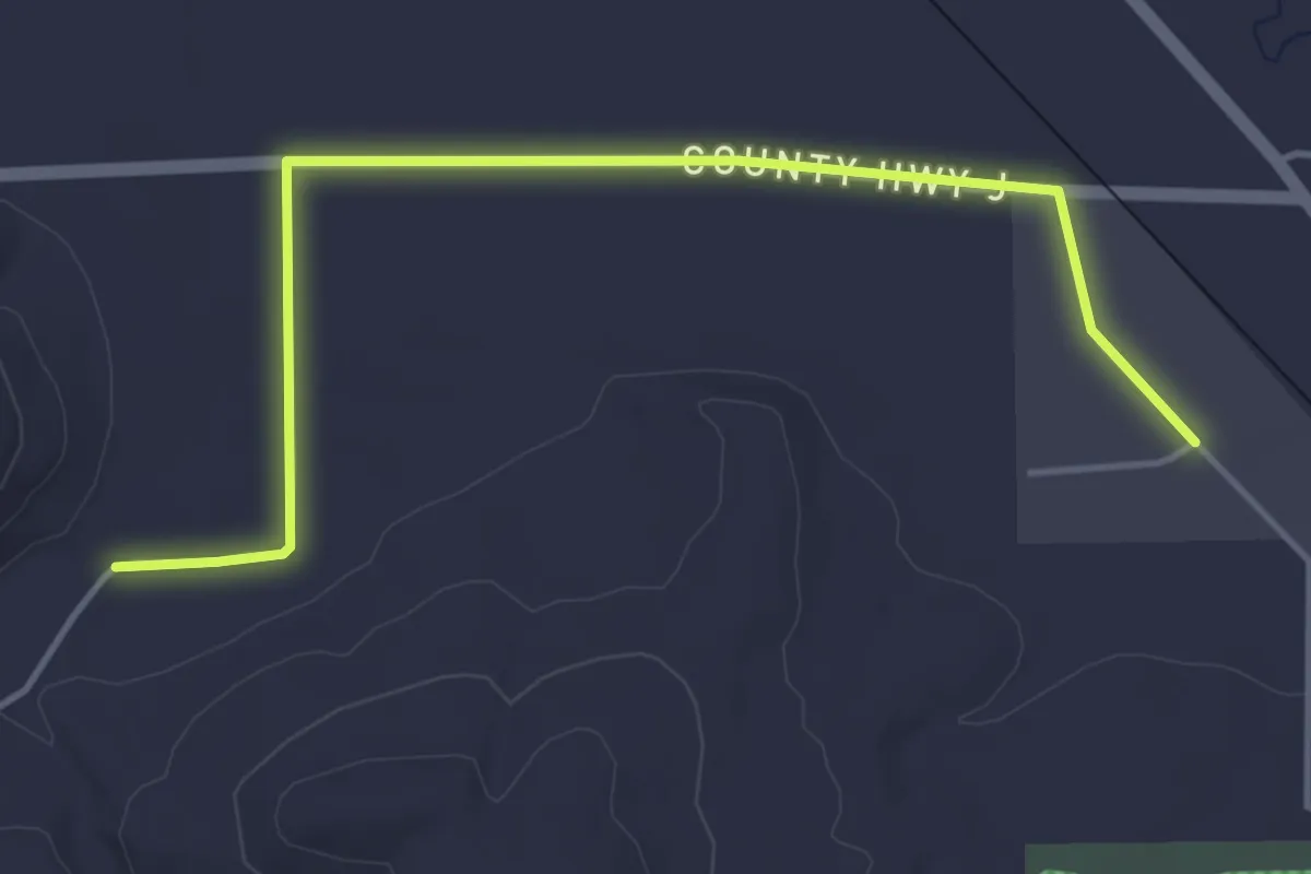
Easy · Trail
IAT - Lodi-Fern Glen connection
5.0 km · ↑ 4 m · 1 h 12 min
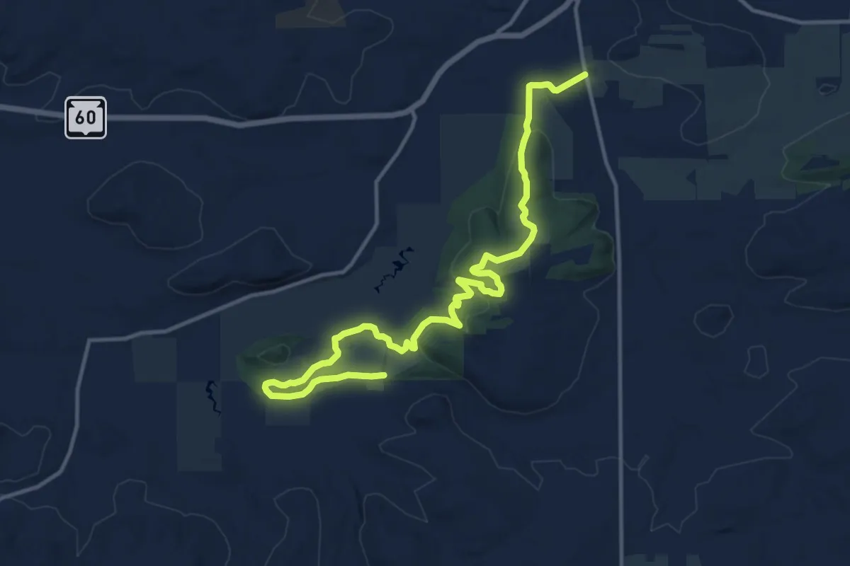
Medium · Trail
IAT - Lodi Marsh Segment
15.8 km · ↑ 366 m · 4 h 31 min
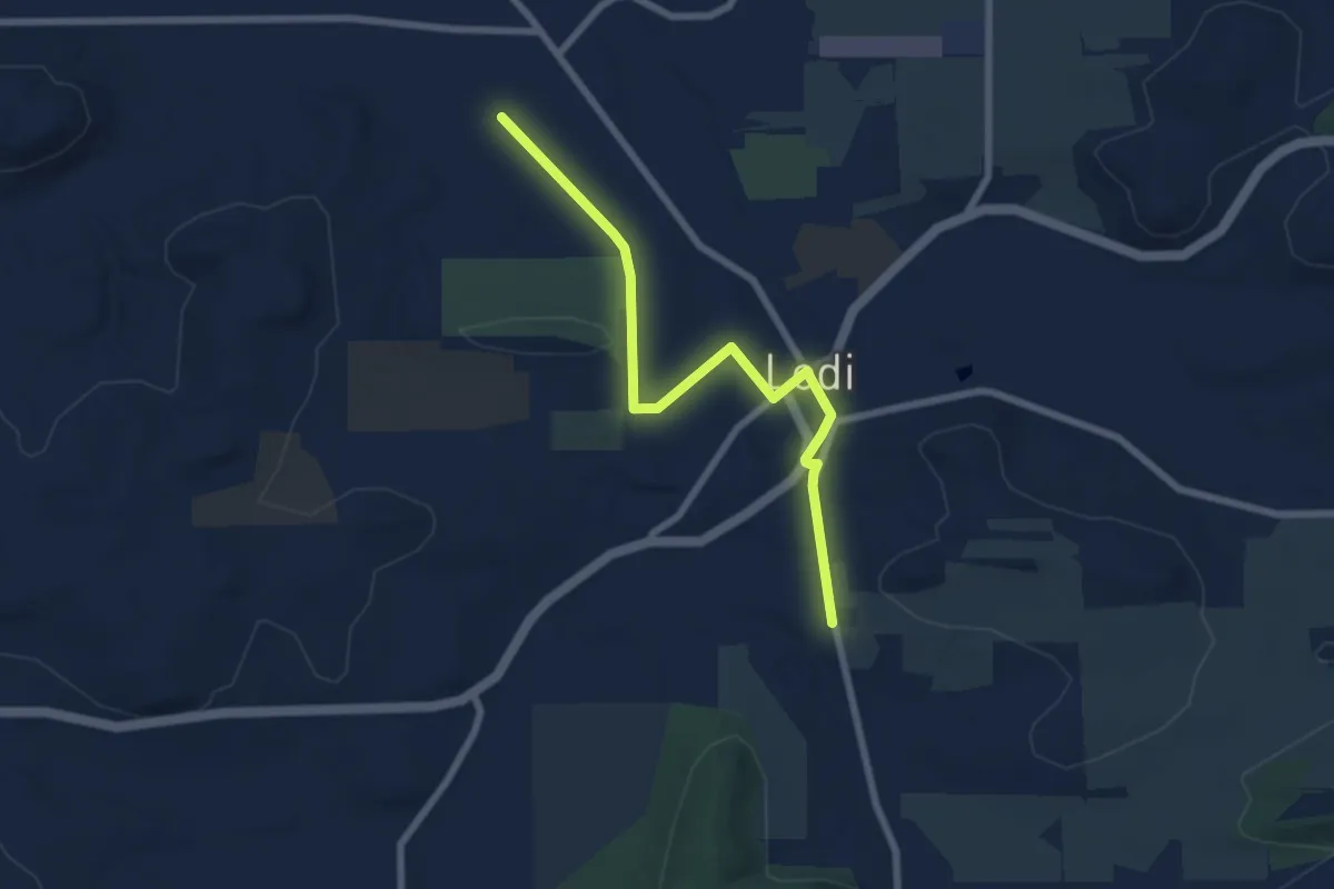
Easy · Trail
IAT - Lodi Segment
7.4 km · ↑ 97 m · 1 h 58 min
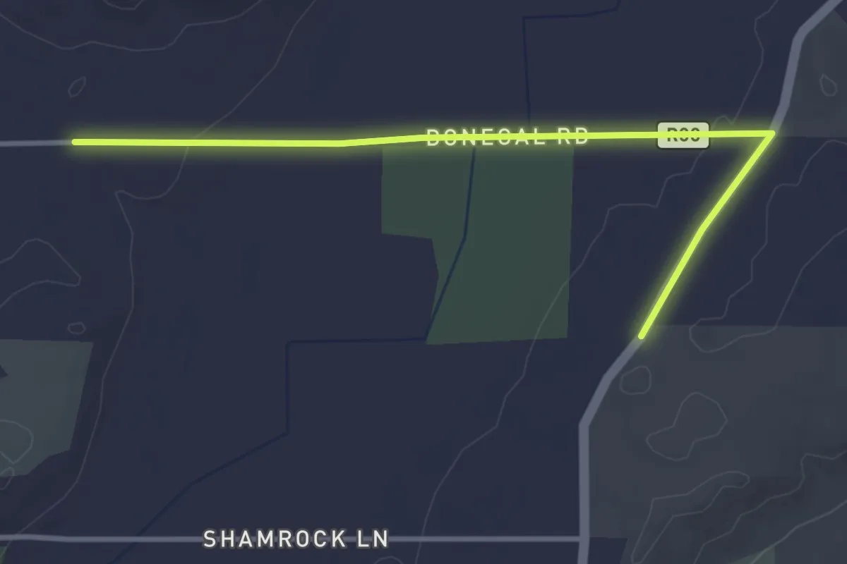
Easy · Trail
IAT - Loew Lake-Holy Hill connection
3.8 km · ↑ 52 m · 1 h 1 min
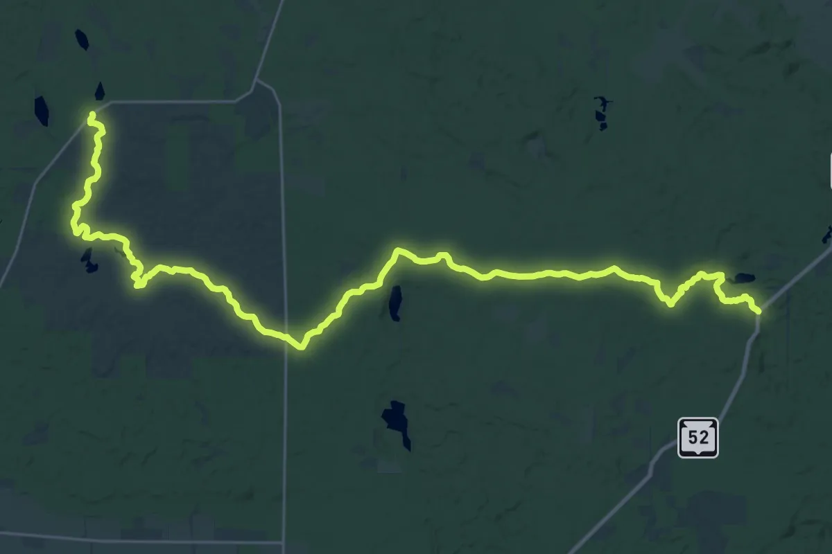
Demanding · Trail
IAT - Lumbercamp Segment
19.0 km · ↑ 104 m · 4 h 58 min
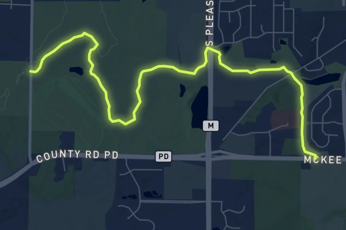
Medium · Trail
IAT - Madison Segment
9.6 km · ↑ 128 m · 2 h 32 min
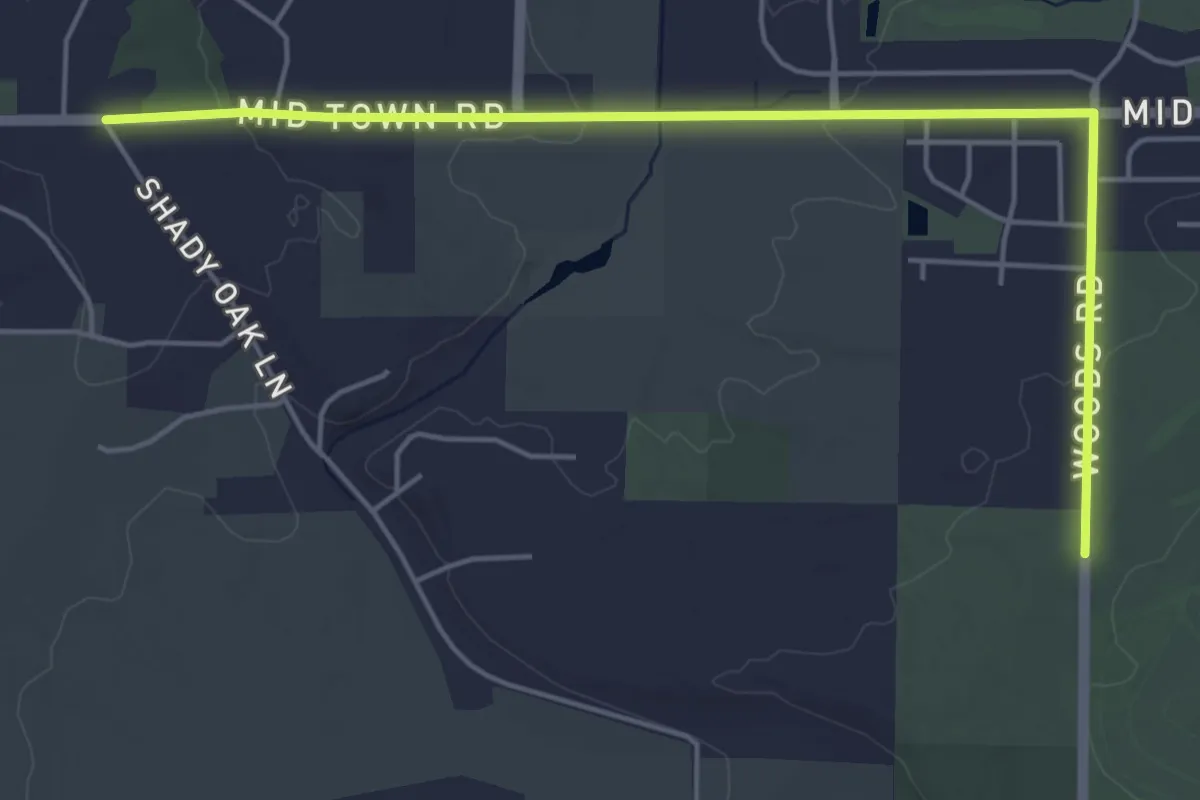
Easy · Trail
IAT - Madison-Valley View connection
5.9 km · ↑ 77 m · 1 h 34 min
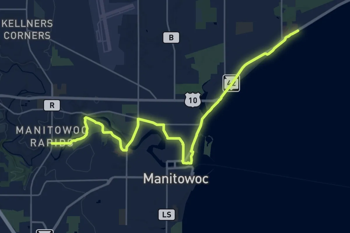
Demanding · Trail
IAT - Manitowoc Segment
23.6 km · ↑ 75 m · 5 h 44 min
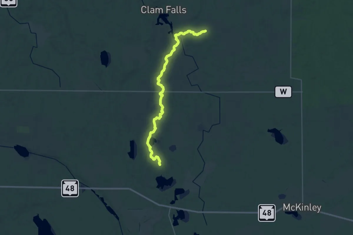
Demanding · Trail
IAT - McKenzie Creek Segment
27.8 km · ↑ 438 m · 7 h 30 min
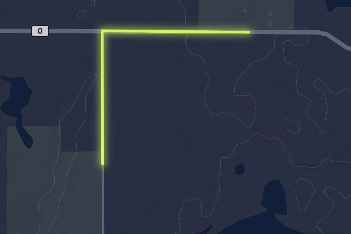
Easy · Trail
IAT - McKinzie Creek-Pine Lake connection
2.3 km · ↑ 20 m · 35 min
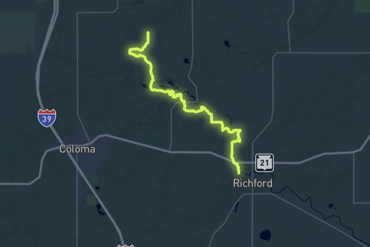
Demanding · Trail
IAT - Mecan River Segment
23.4 km · ↑ 177 m · 5 h 55 min
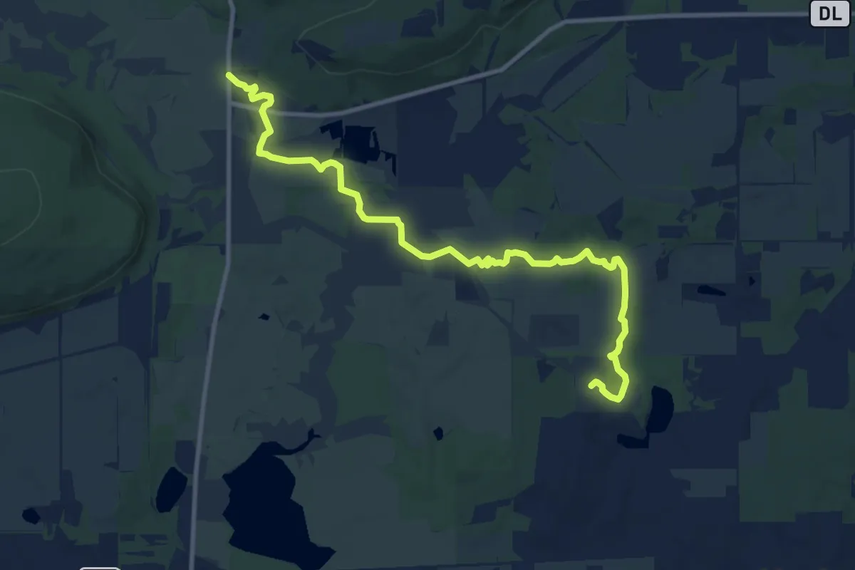
Medium · Trail
IAT - Merrimac Segment
11.6 km · ↑ 120 m · 3 h
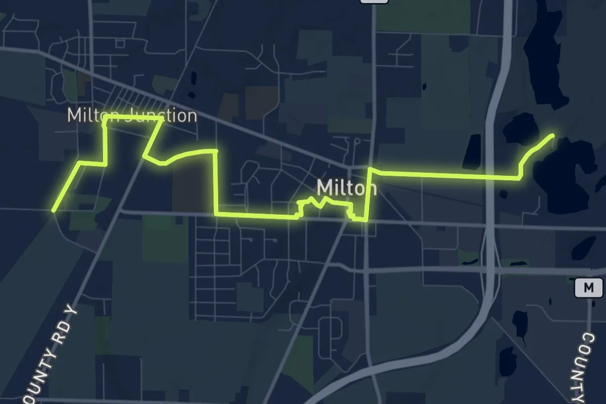
Medium · Trail
IAT - Milton Segment
14.0 km · ↑ 35 m · 3 h 23 min
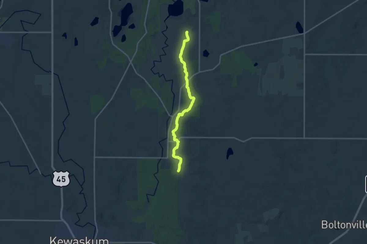
Medium · Trail
IAT - Milwaukee River (Fon du Lac County) Segment
13.3 km · ↑ 159 m · 3 h 30 min
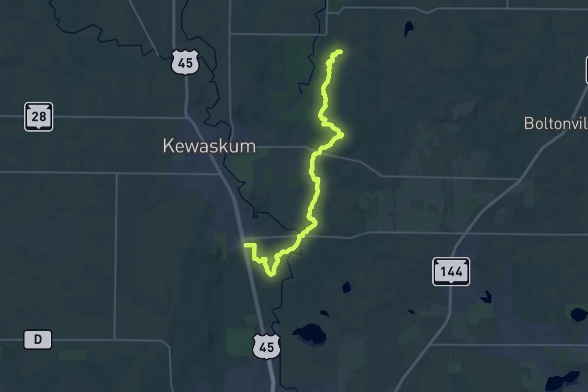
Demanding · Trail
IAT - Milwaukee River (Washington County) Segment
21.5 km · ↑ 264 m · 5 h 39 min
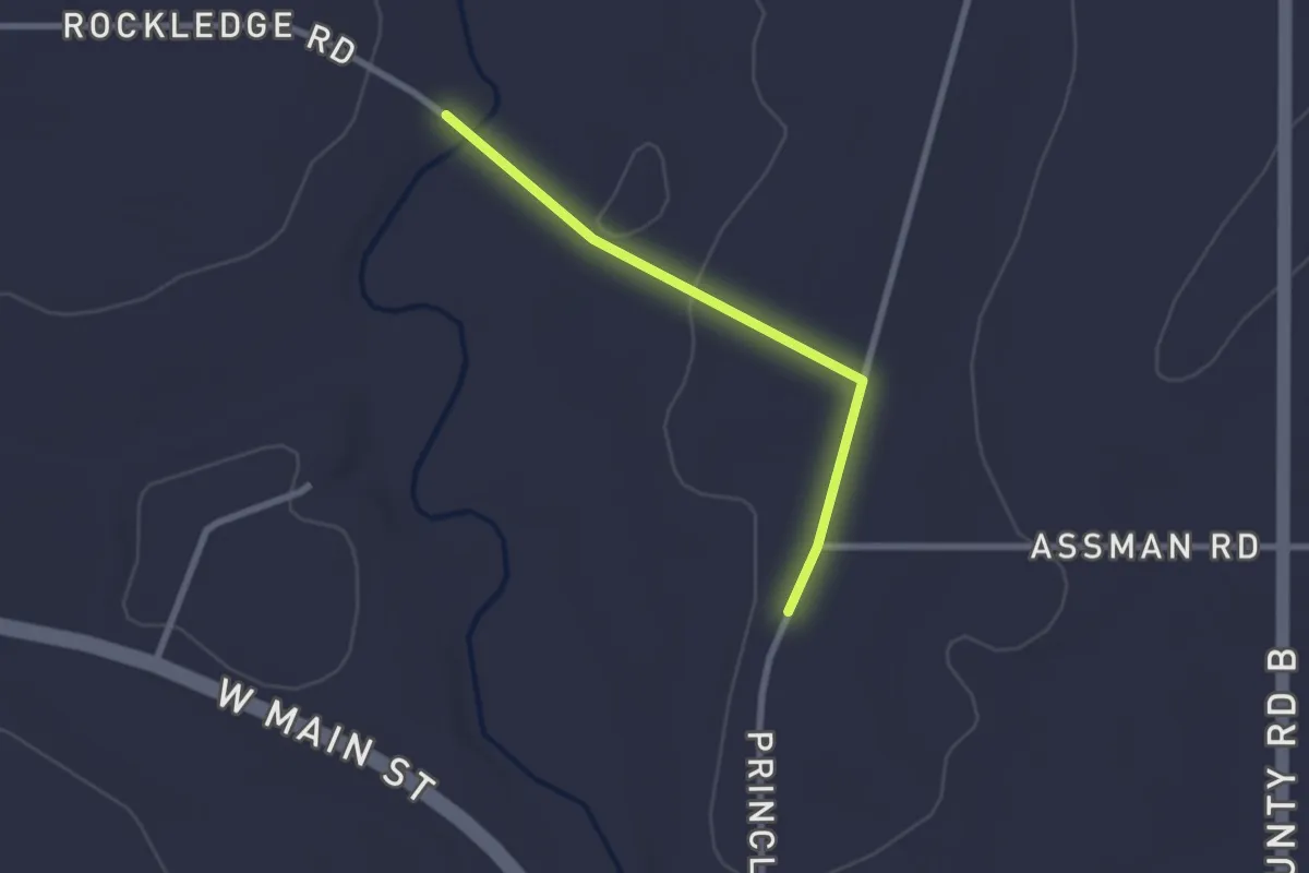
Easy · Trail
IAT - Mishicot-East Twin River connection
2.3 km · ↑ 23 m · 35 min
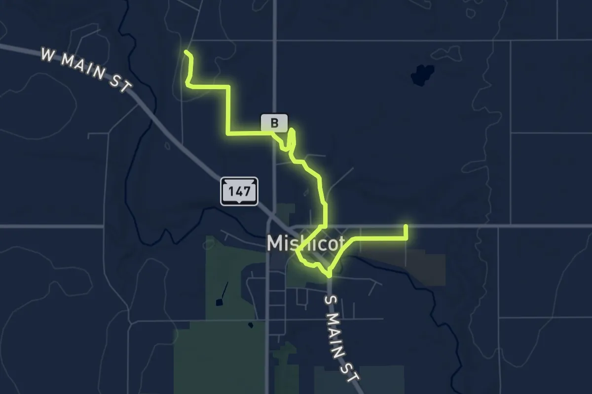
Medium · Trail
IAT - Mishicot Segment
9.1 km · ↑ 43 m · 2 h 14 min
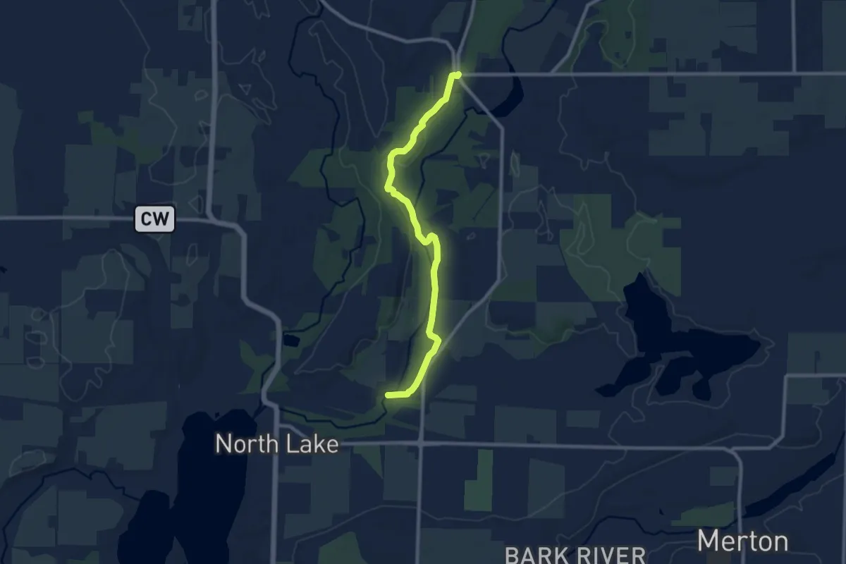
Medium · Trail
IAT - Monches Segment
9.4 km · ↑ 103 m · 2 h 27 min
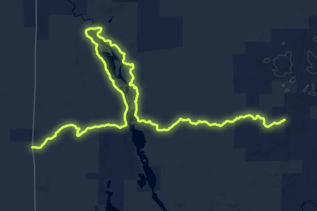
Medium · Trail
IAT - Mondeaux Esker Segment
17.9 km · ↑ 129 m · 4 h 47 min
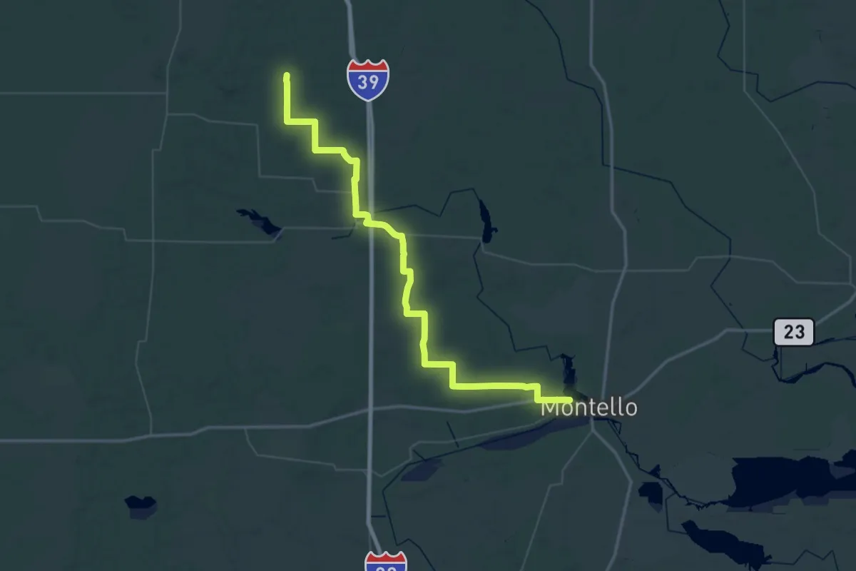
Demanding · Trail
IAT - Montello-Karner Blue connection
34.1 km · ↑ 228 m · 9 h
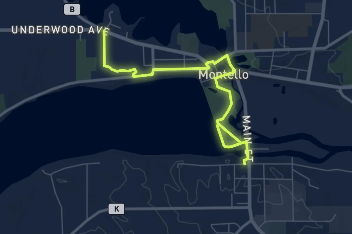
Easy · Trail
IAT - Montello Segment
7.7 km · ↑ 17 m · 1 h 52 min
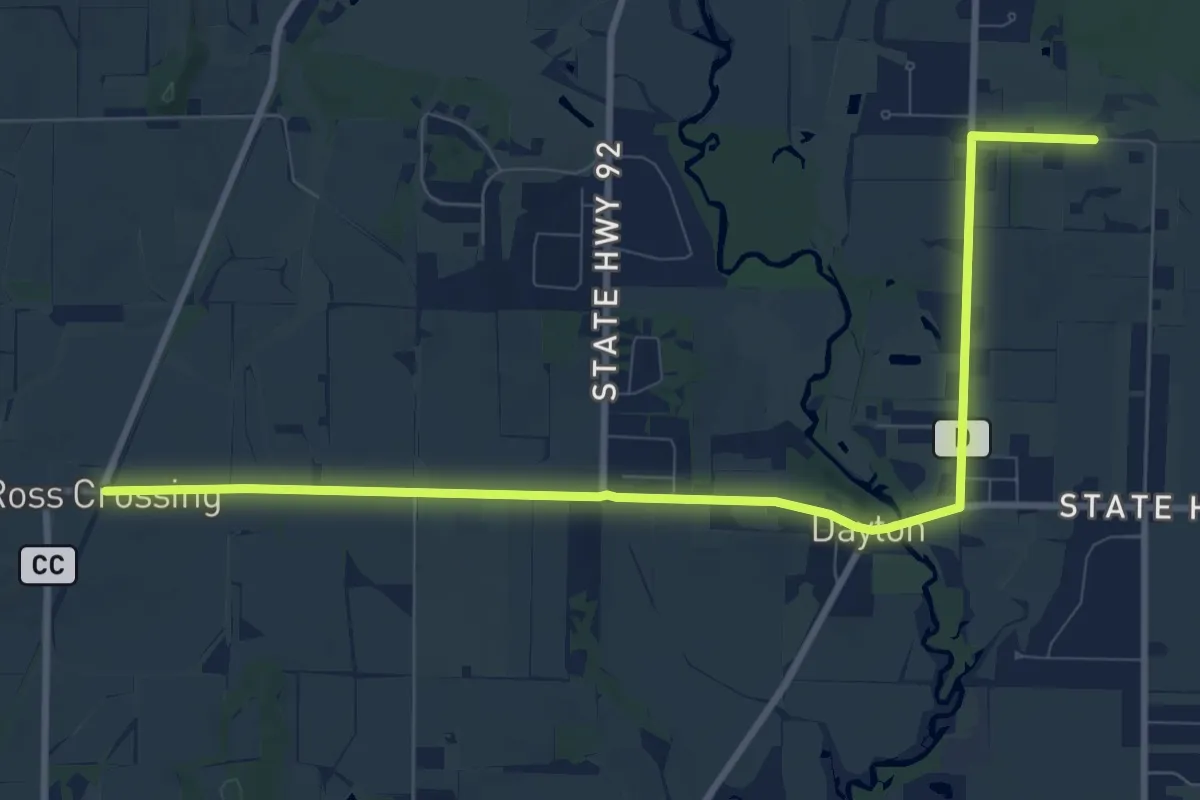
Medium · Trail
IAT - Monticello-Brooklyn Wildlife connection
11.9 km · ↑ 60 m · 2 h 57 min
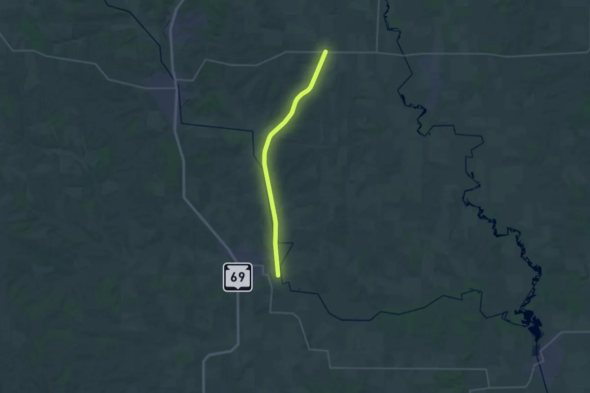
Demanding · Trail
IAT - Monticello Segment
21.2 km · ↑ 137 m · 5 h 18 min
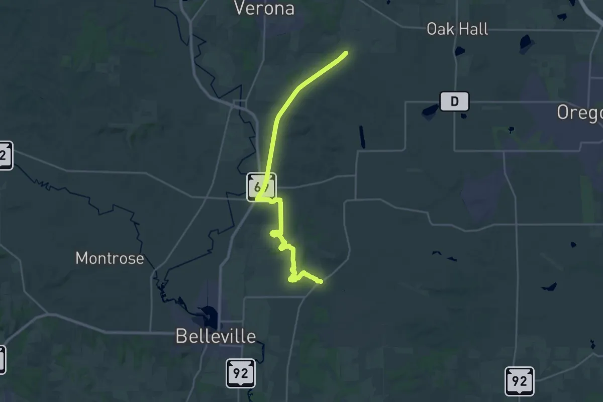
Demanding · Trail
IAT - Montrose Segment
23.9 km · ↑ 243 m · 6 h 10 min
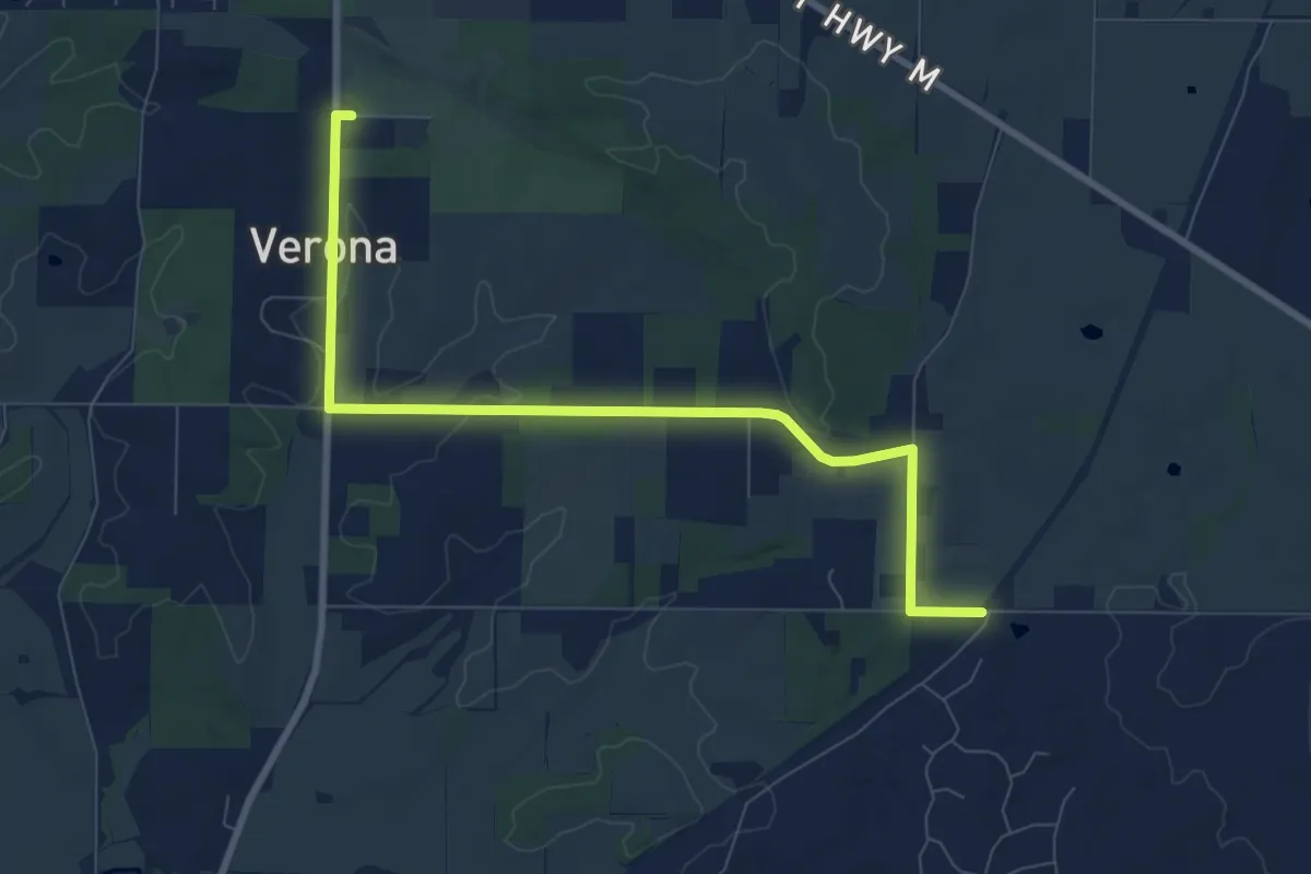
Medium · Trail
IAT - Montrose-Verona connection
9.3 km · ↑ 128 m · 2 h 29 min
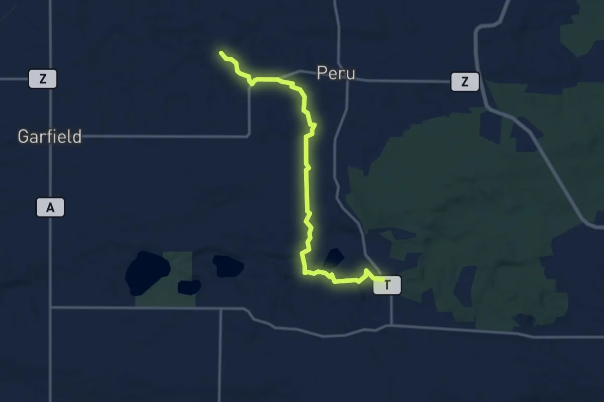
Medium · Trail
IAT - New Hope Segment
11.5 km · ↑ 222 m · 3 h 12 min