Trails in United States
10,367 hiking trails, each with its route, climb, walking time and grade.
All trails, page 93 of 216
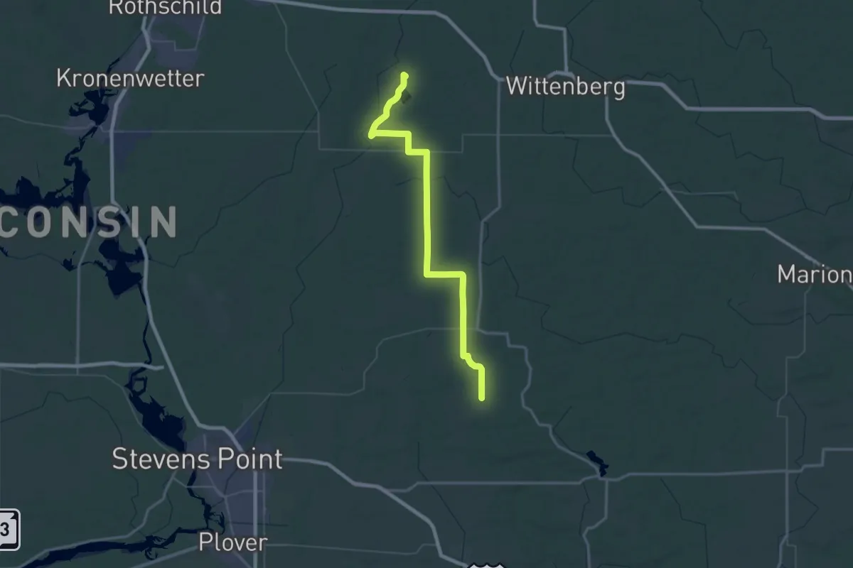
Demanding · Trail
IAT - New Hope-White Cedar connector
39.5 km · ↑ 150 m · 10 h 11 min
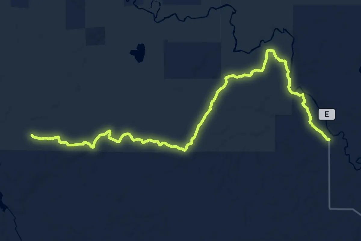
Demanding · Trail
IAT - New Wood Segment
21.0 km · ↑ 51 m · 5 h 4 min
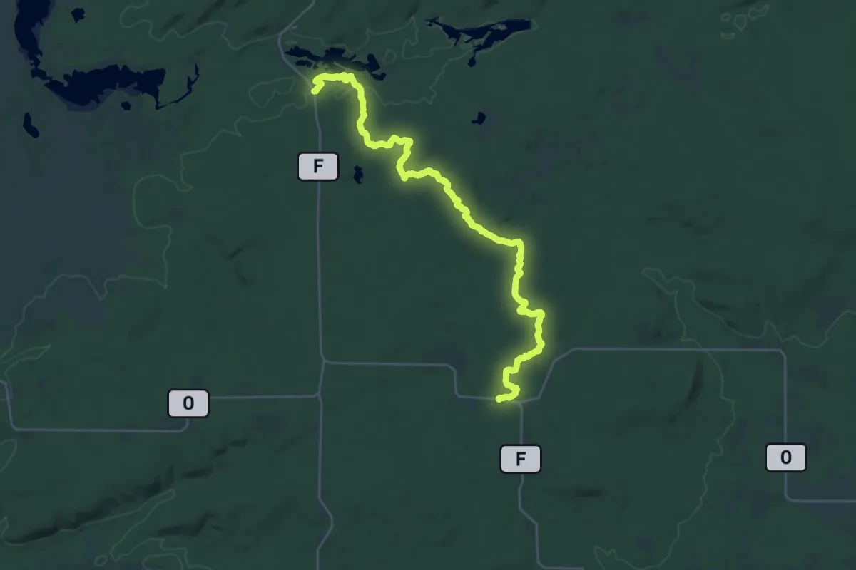
Demanding · Trail
IAT - Northern Blue Hills Segment
30.0 km · ↑ 346 m · 7 h 50 min
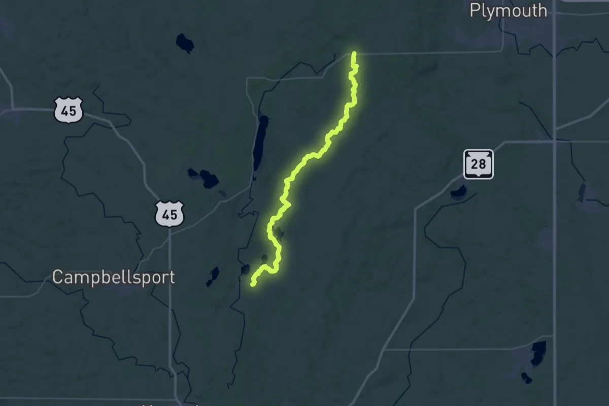
Demanding · Trail
IAT - Parnell Segment
21.5 km · ↑ 258 m · 5 h 56 min
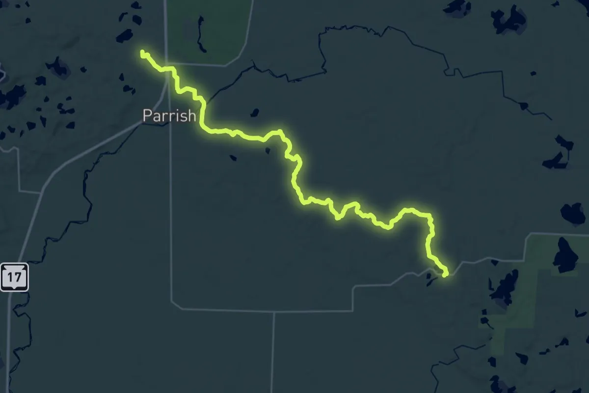
Demanding · Summit
IAT - Parrish Hills Segment
34.7 km · ↑ 395 m · 9 h 2 min
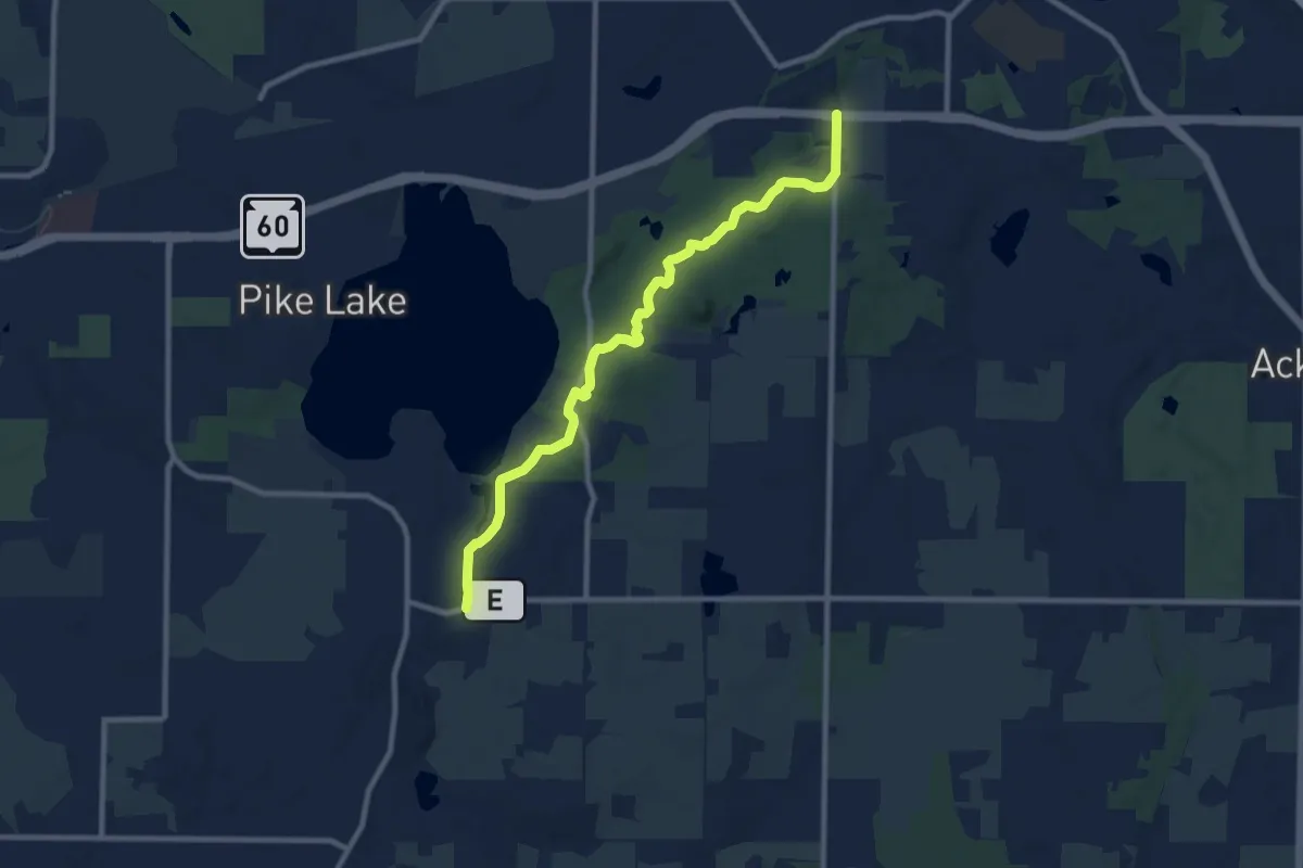
Medium · Trail
IAT - Pike Lake Segment
10.2 km · ↑ 141 m · 2 h 43 min
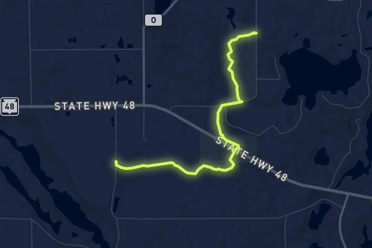
Medium · Trail
IAT - Pine Lake Segment
9.2 km · ↑ 87 m · 2 h 22 min
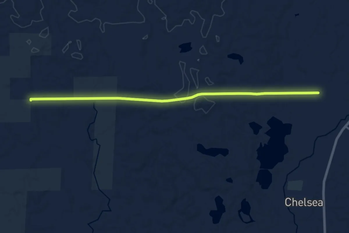
Medium · Trail
IAT - Pine Line-Mondeaux Esker connection
10.8 km · ↑ 96 m · 2 h 46 min
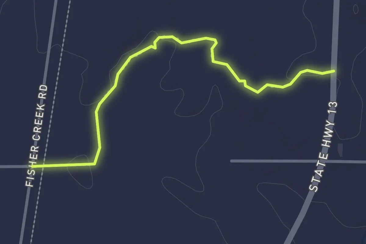
Easy · Trail
IAT - Pine Line Segment
2.9 km · ↑ 9 m · 42 min
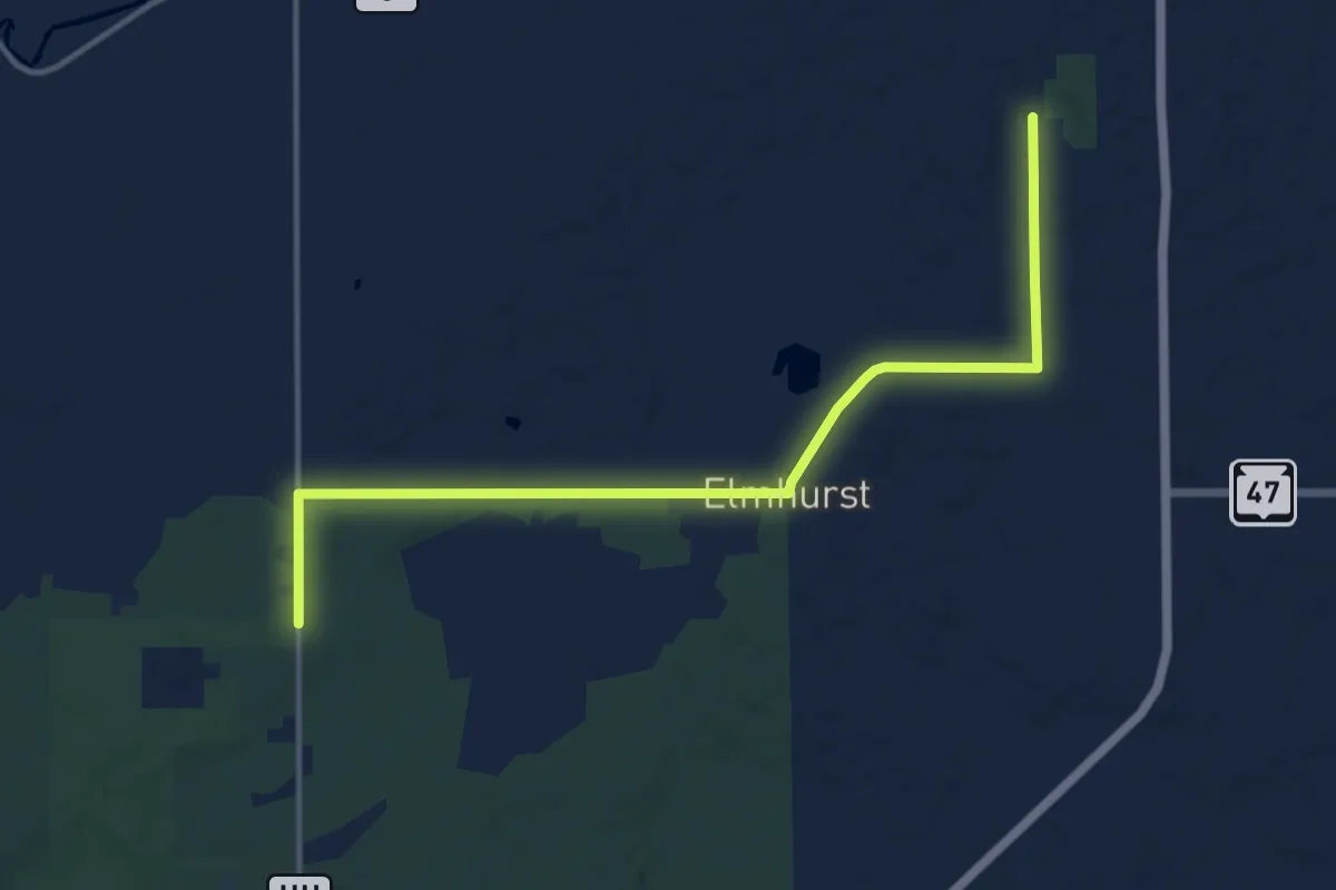
Medium · Trail
IAT - Plover River-Ice Override connector
15.2 km · ↑ 65 m · 3 h 43 min
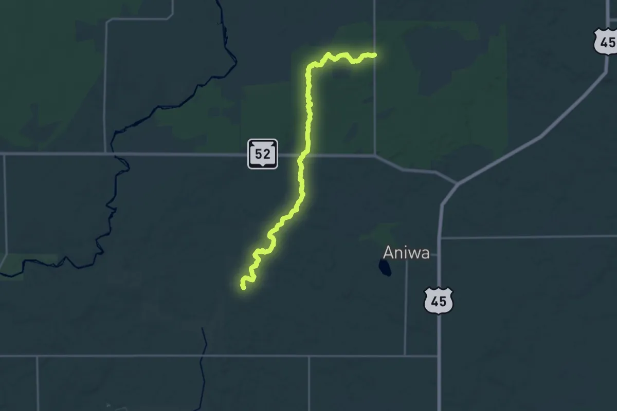
Demanding · Trail
IAT - Plover River Segment
18.2 km · ↑ 145 m · 4 h 37 min
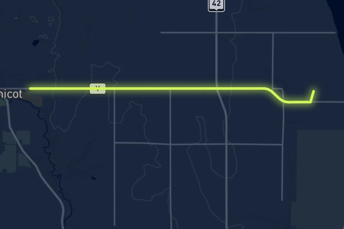
Medium · Trail
IAT - Point Beach-Mishicot connection
16.9 km · ↑ 74 m · 4 h 10 min
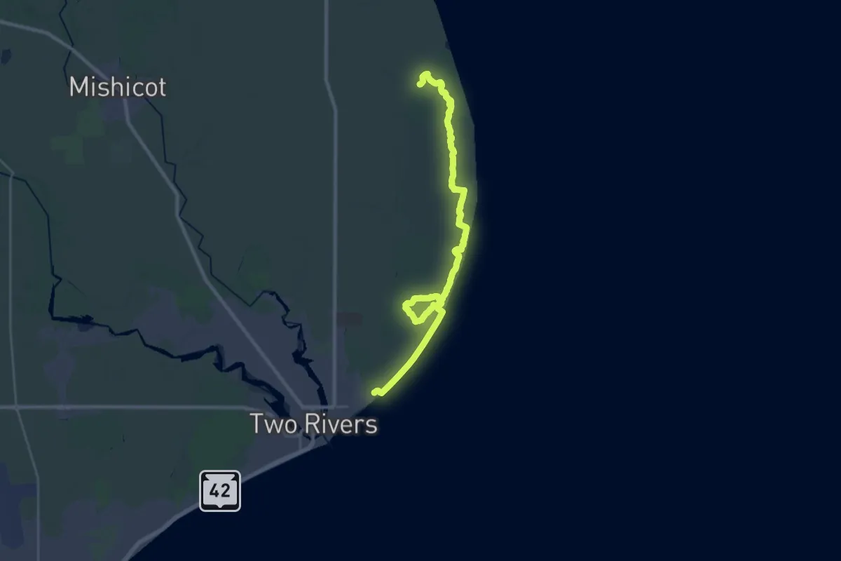
Demanding · Trail
IAT - Point Beach Segment
30.8 km · ↑ 13 m · 7 h 18 min
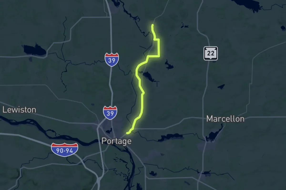
Demanding · Trail
IAT - Portage Canal-John Muir Park connection
19.9 km · ↑ 93 m · 5 h 11 min
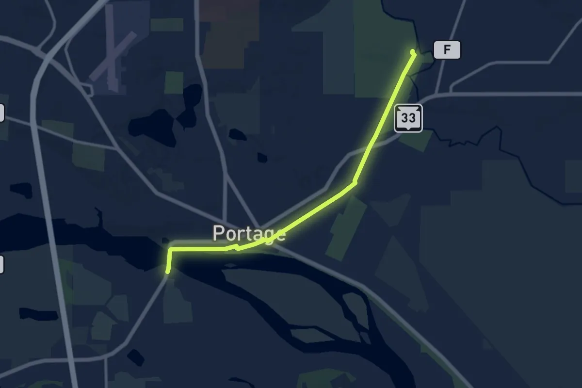
Medium · Trail
IAT - Portage Canal Segment
9.6 km · ↑ 15 m · 2 h 17 min
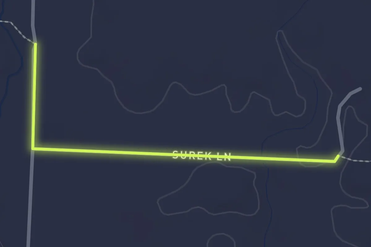
Easy · Trail
IAT - Rib Lake connection
2.2 km · ↑ 0 m · 31 min
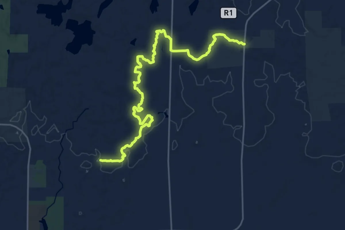
Demanding · Trail
IAT - Rib Lake Segment
18.0 km · ↑ 91 m · 4 h 27 min
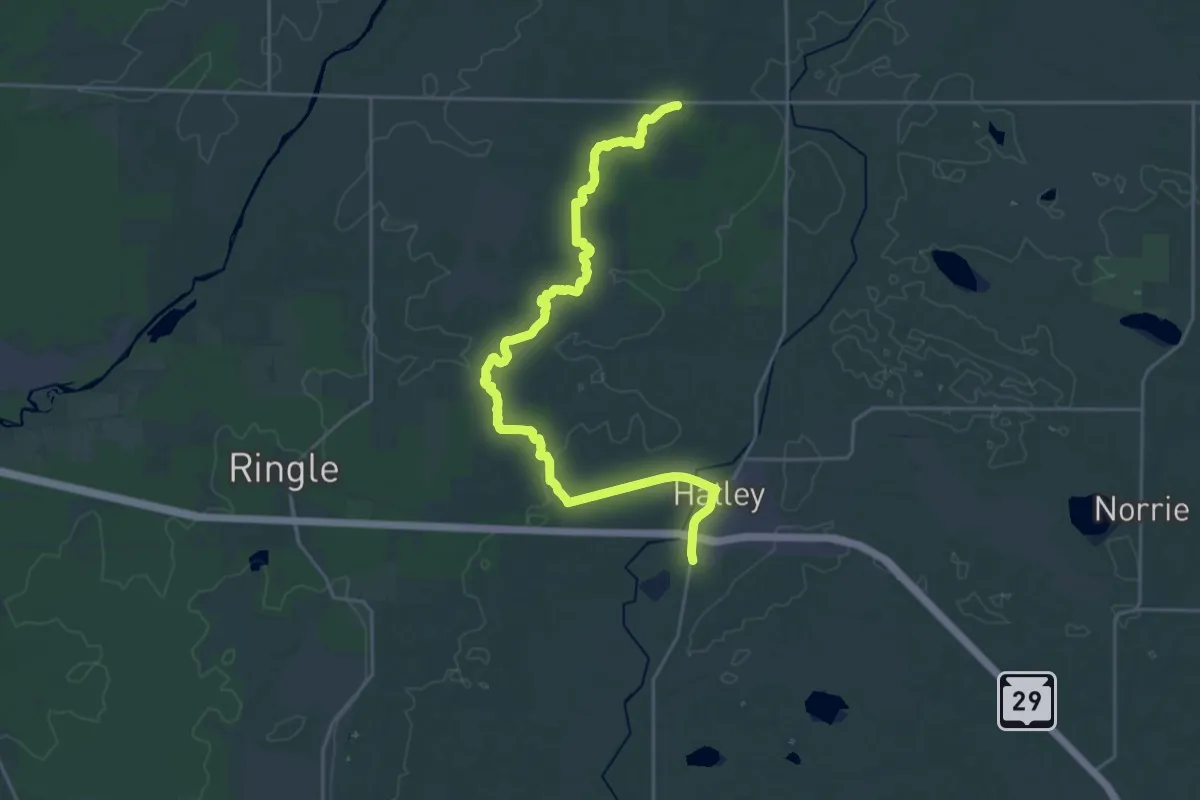
Demanding · Trail
IAT - Ringle Segment
27.9 km · ↑ 187 m · 6 h 59 min
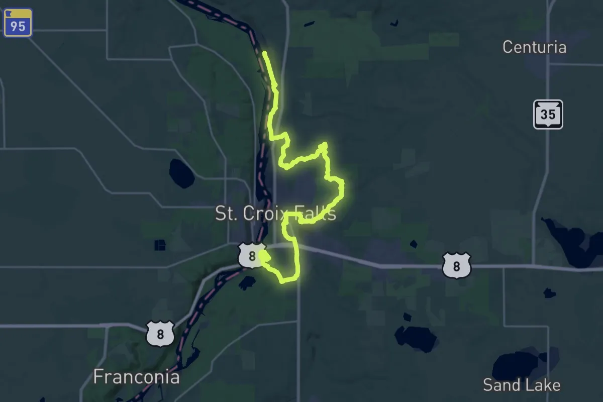
Demanding · Trail
IAT - Saint Croix Falls Segment
27.9 km · ↑ 513 m · 7 h 42 min
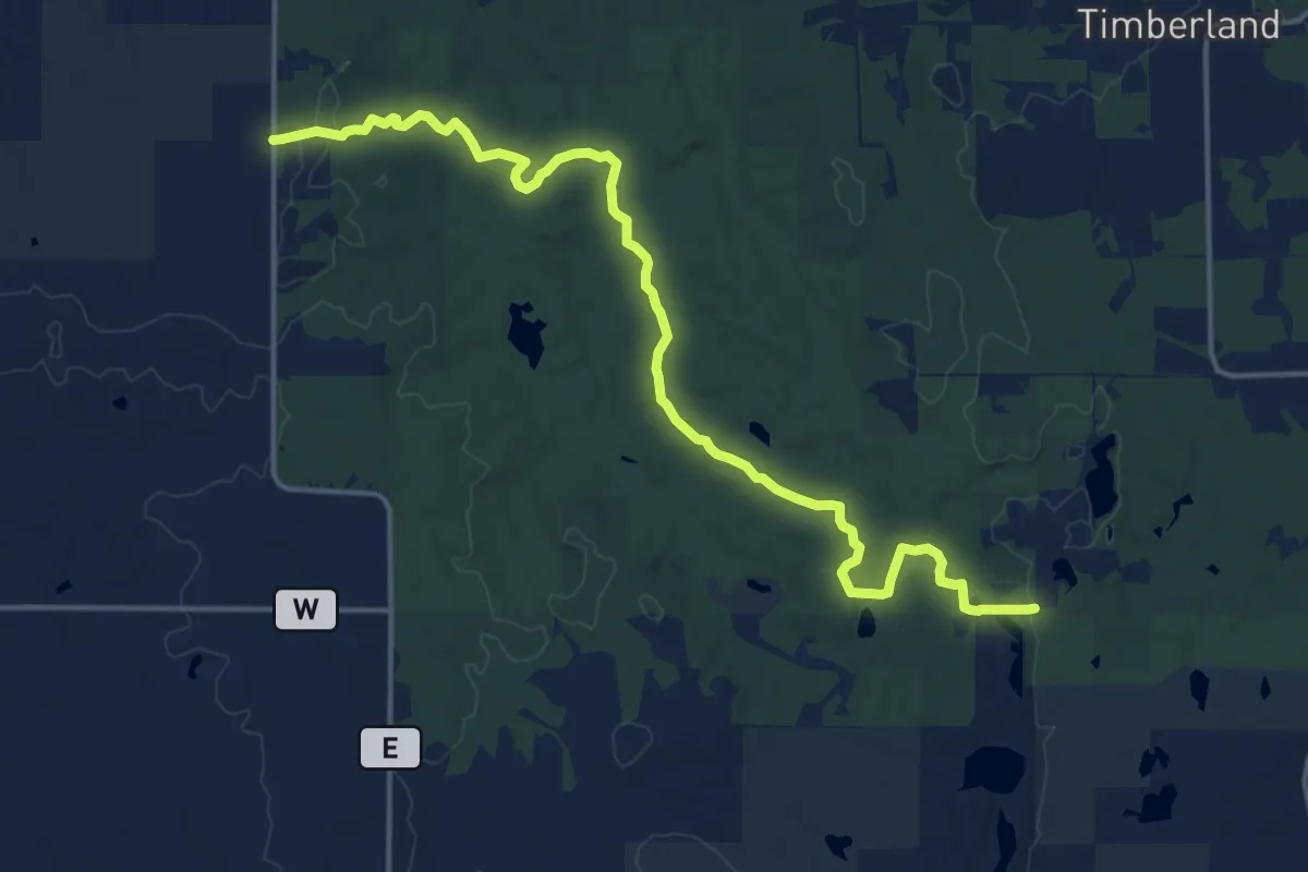
Medium · Trail
IAT - Sand Creek Segment
17.9 km · ↑ 241 m · 4 h 45 min
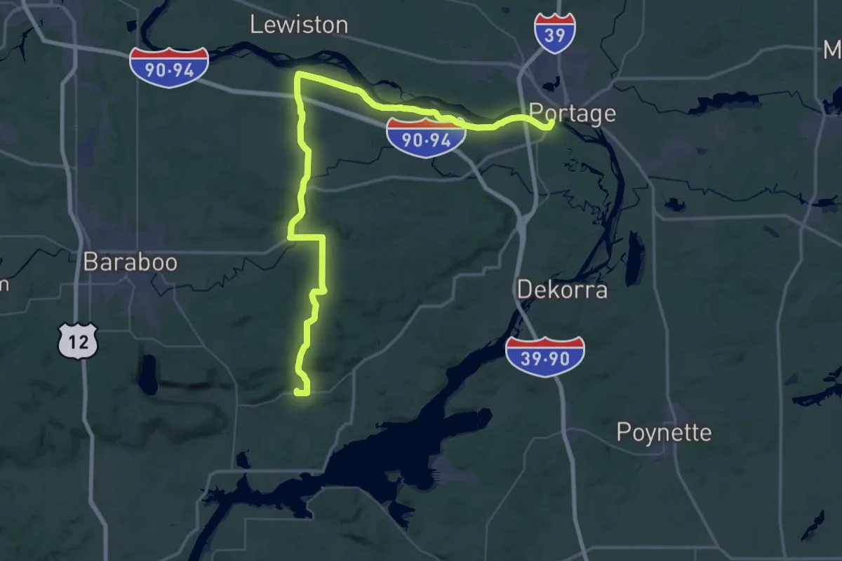
Demanding · Trail
IAT - Sauk Point-Portage Canal connection
34.6 km · ↑ 274 m · 9 h 14 min
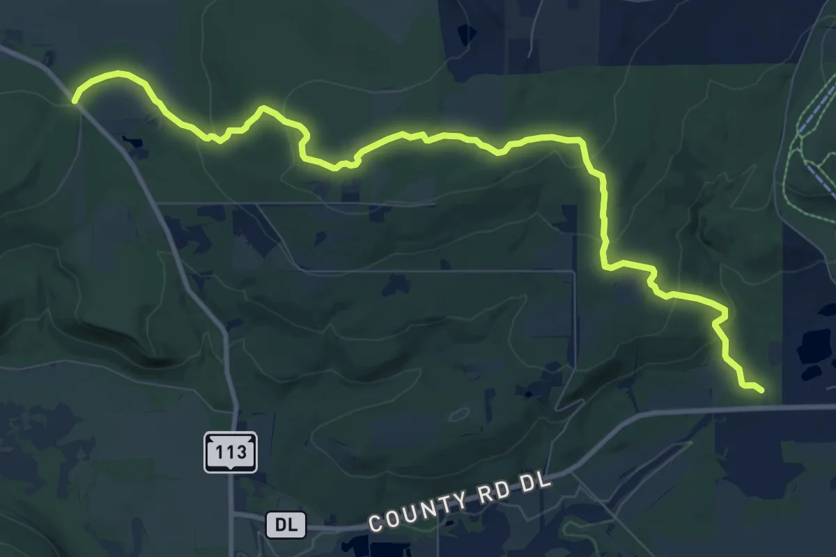
Medium · Trail
IAT - Sauk Point Segment
11.9 km · ↑ 288 m · 3 h 26 min
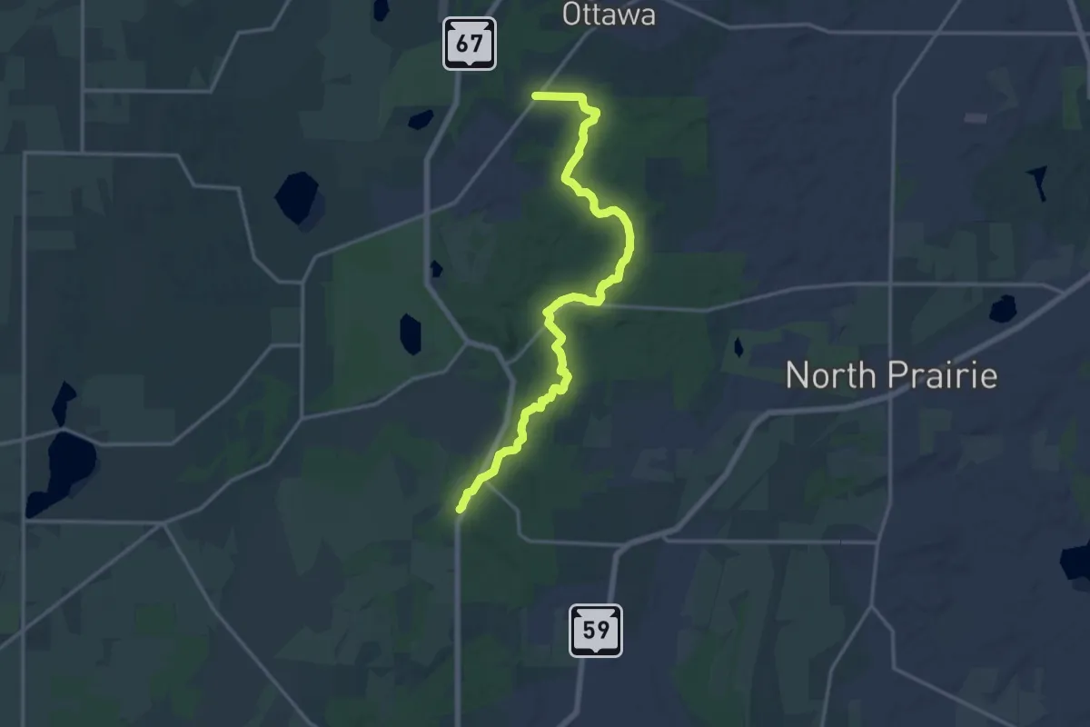
Medium · Trail
IAT - Scuppernong Segment
17.2 km · ↑ 256 m · 4 h 37 min
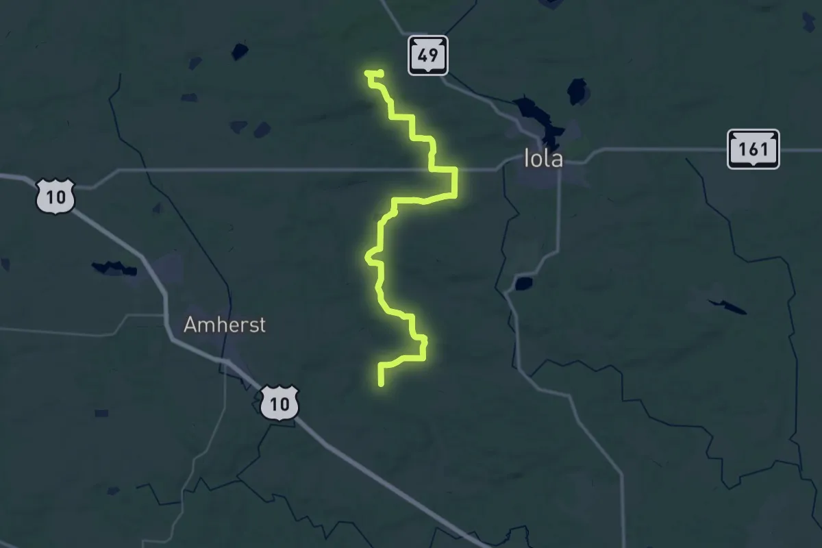
Demanding · Trail
IAT - Skunk and Foster Lakes-Iola Ski Hill connector
21.2 km · ↑ 135 m · 5 h 34 min
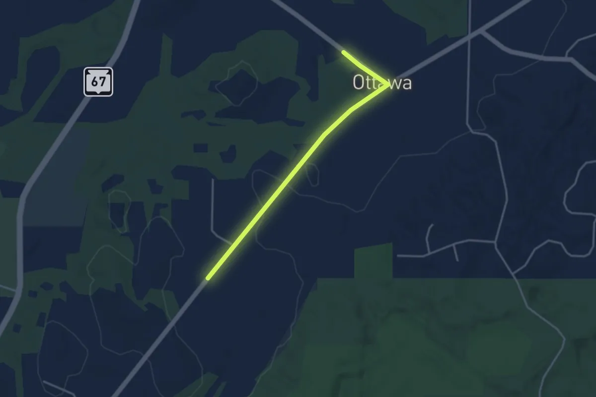
Easy · Trail
IAT - Skuppernong-Waterville connection
3.5 km · ↑ 15 m · 51 min
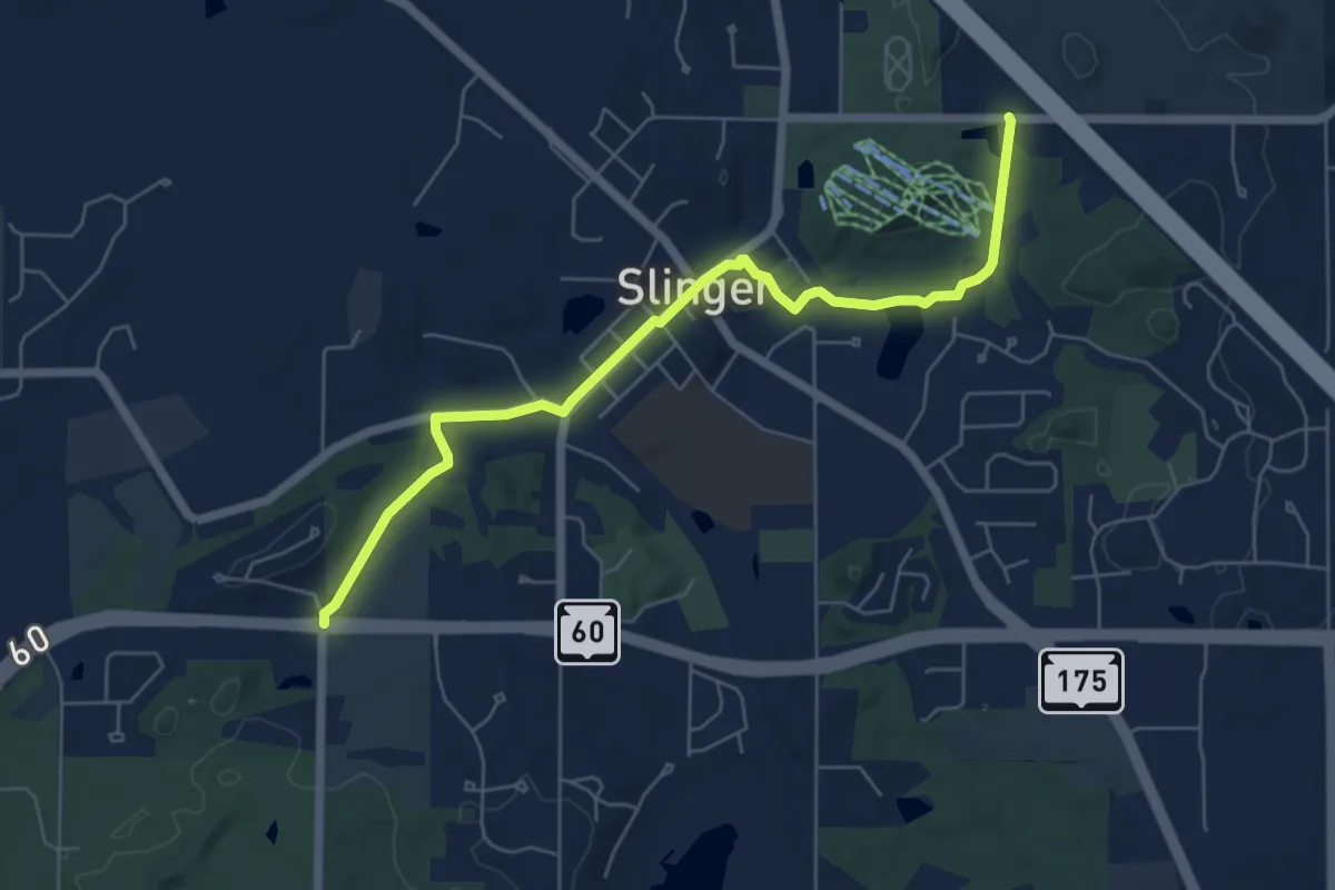
Easy · Trail
IAT - Slinger Segment
6.7 km · ↑ 38 m · 1 h 40 min
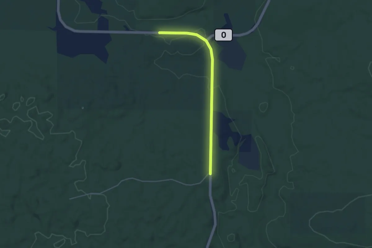
Easy · Trail
IAT - Southern Blue Hills-Northern Blue Hills connection
3.7 km · ↑ 38 m · 57 min
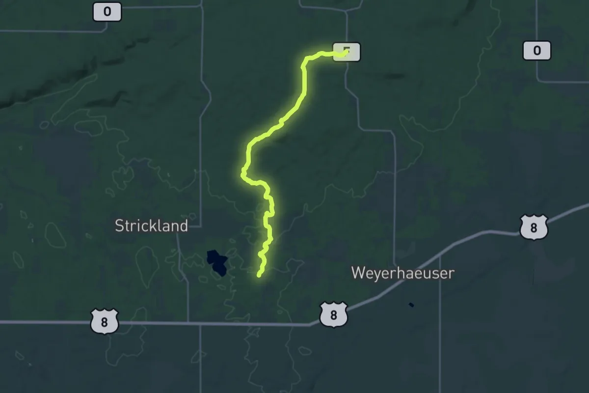
Demanding · Trail
IAT - Southern Blue Hills Segment
22.2 km · ↑ 331 m · 5 h 58 min
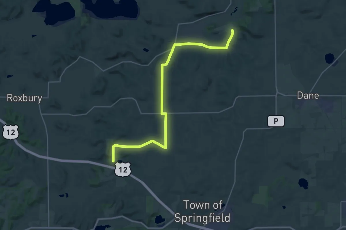
Demanding · Trail
IAT - Springfield Hill-Lodi Marsh connection
25.2 km · ↑ 281 m · 6 h 33 min
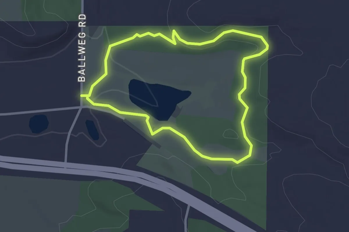
Easy · Trail
IAT - Springfield Hill Segment
2.6 km · ↑ 39 m · 43 min
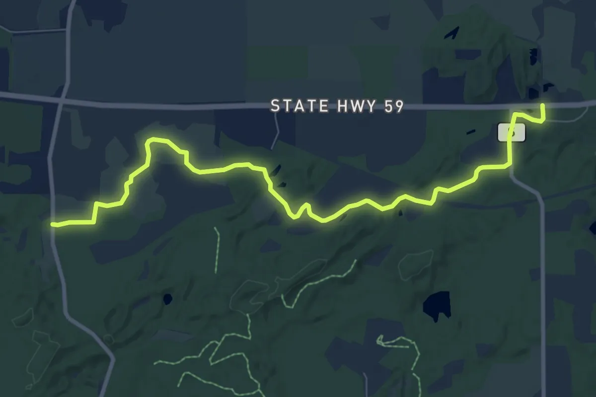
Medium · Trail
IAT - Stony Ridge Segment
9.6 km · ↑ 70 m · 2 h 25 min
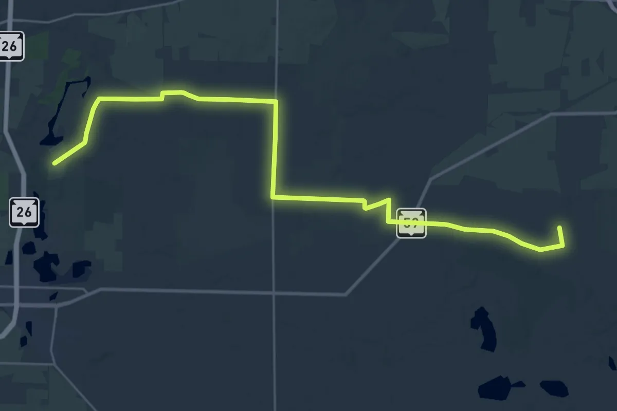
Demanding · Trail
IAT - Storrs Lake-Clover Valley connection
29.9 km · ↑ 127 m · 7 h 19 min
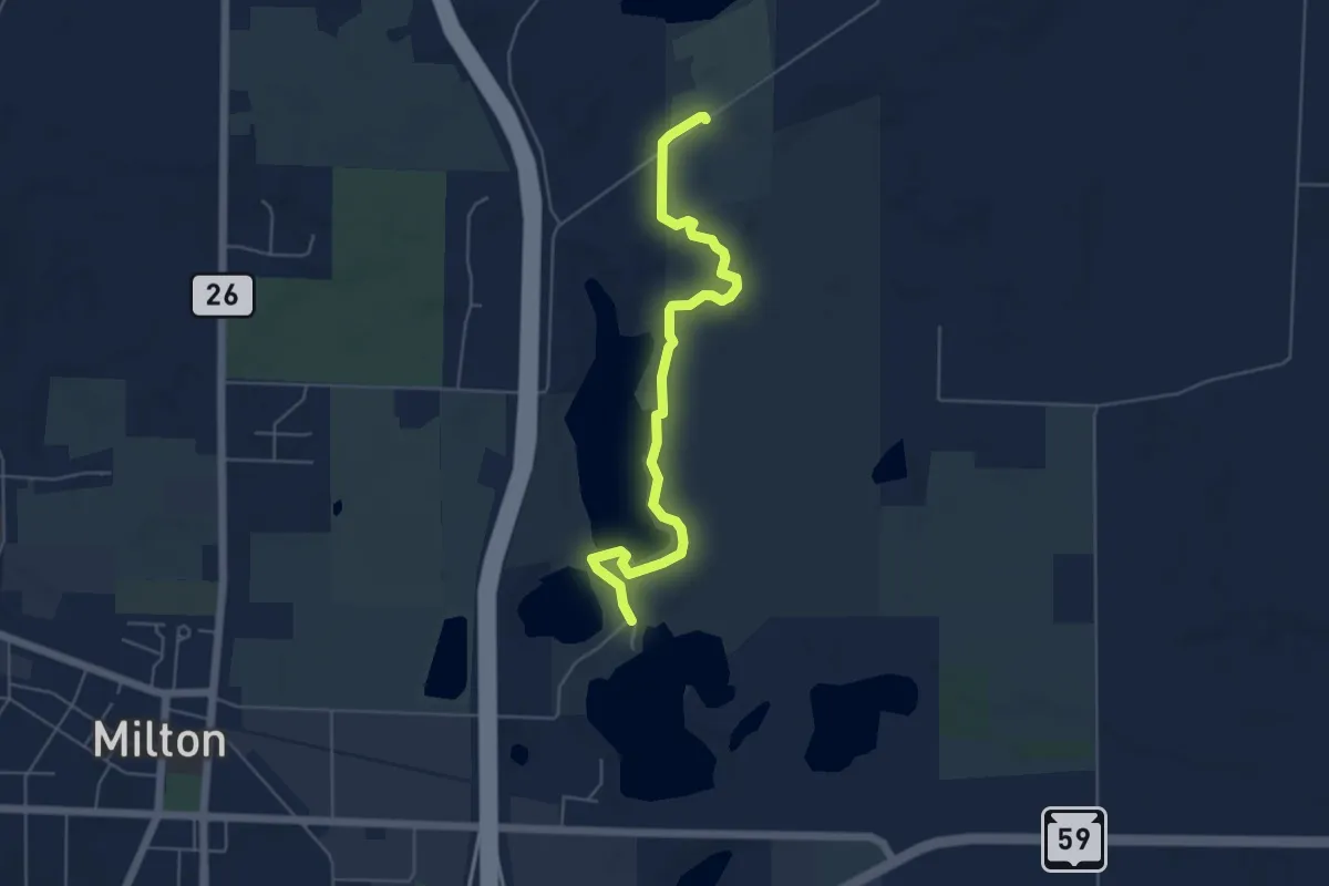
Easy · Trail
IAT - Storrs Lake Segment
5.9 km · ↑ 22 m · 1 h 27 min
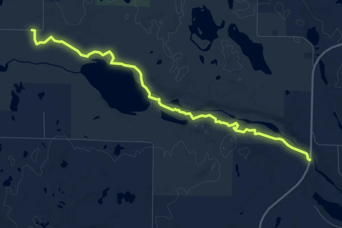
Medium · Trail
IAT - Straight Lake Segment
11.2 km · ↑ 138 m · 2 h 57 min
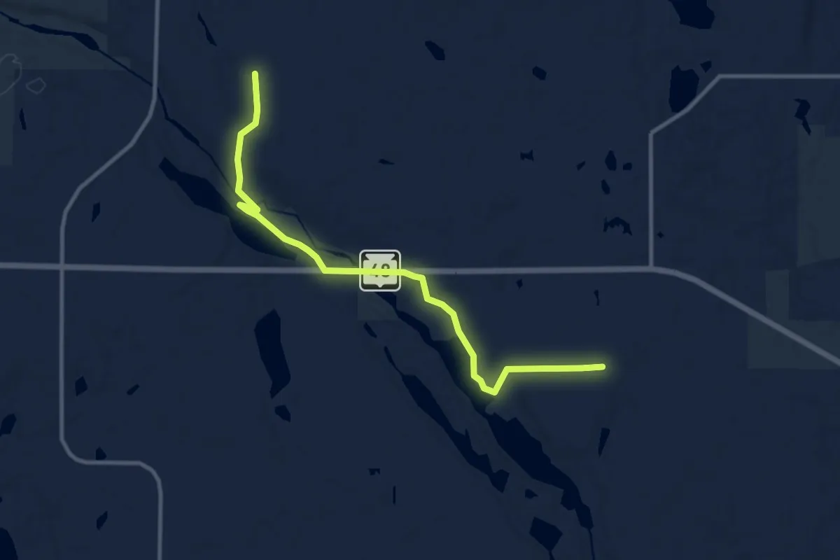
Medium · Trail
IAT - Straight River Segment
10.5 km · ↑ 106 m · 2 h 43 min
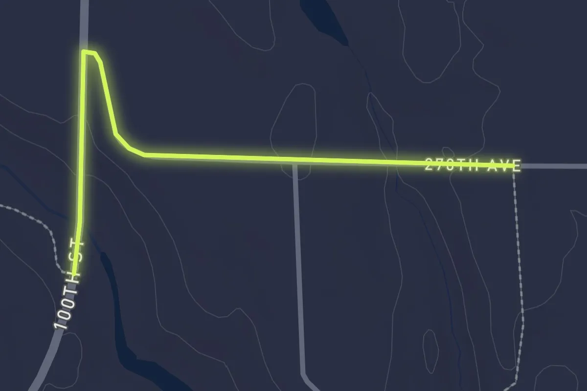
Easy · Trail
IAT - Straight River-Straight Lake connection
2.7 km · ↑ 41 m · 43 min
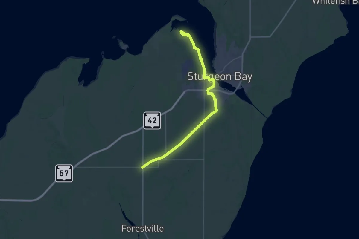
Demanding · Trail
IAT - Sturgeon Bay Segment
22.7 km · ↑ 75 m · 5 h 50 min
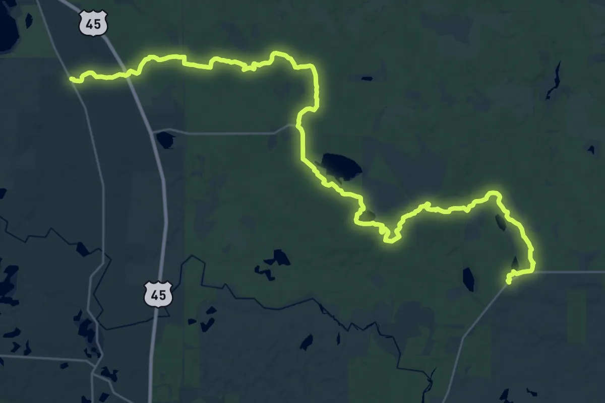
Demanding · Trail
IAT - Summit Moraine Segment
18.6 km · ↑ 81 m · 4 h 50 min
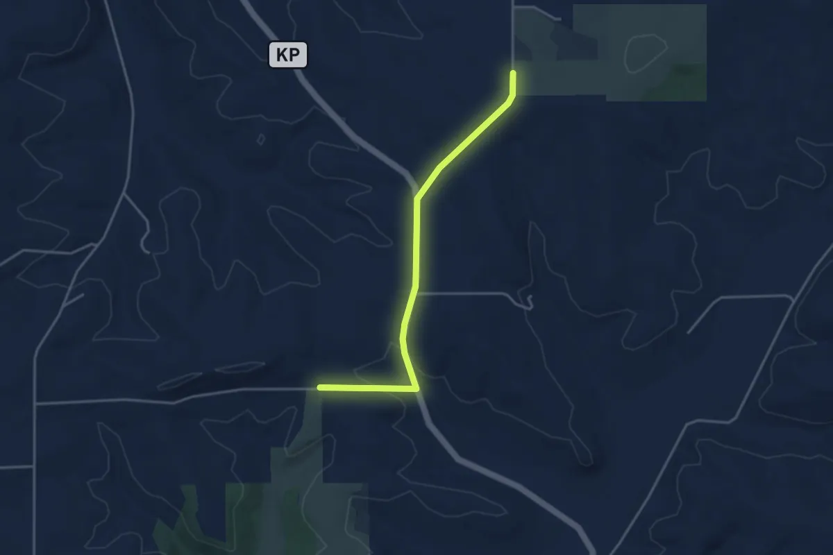
Easy · Trail
IAT - Table Bluff connection
3.8 km · ↑ 96 m · 1 h 6 min
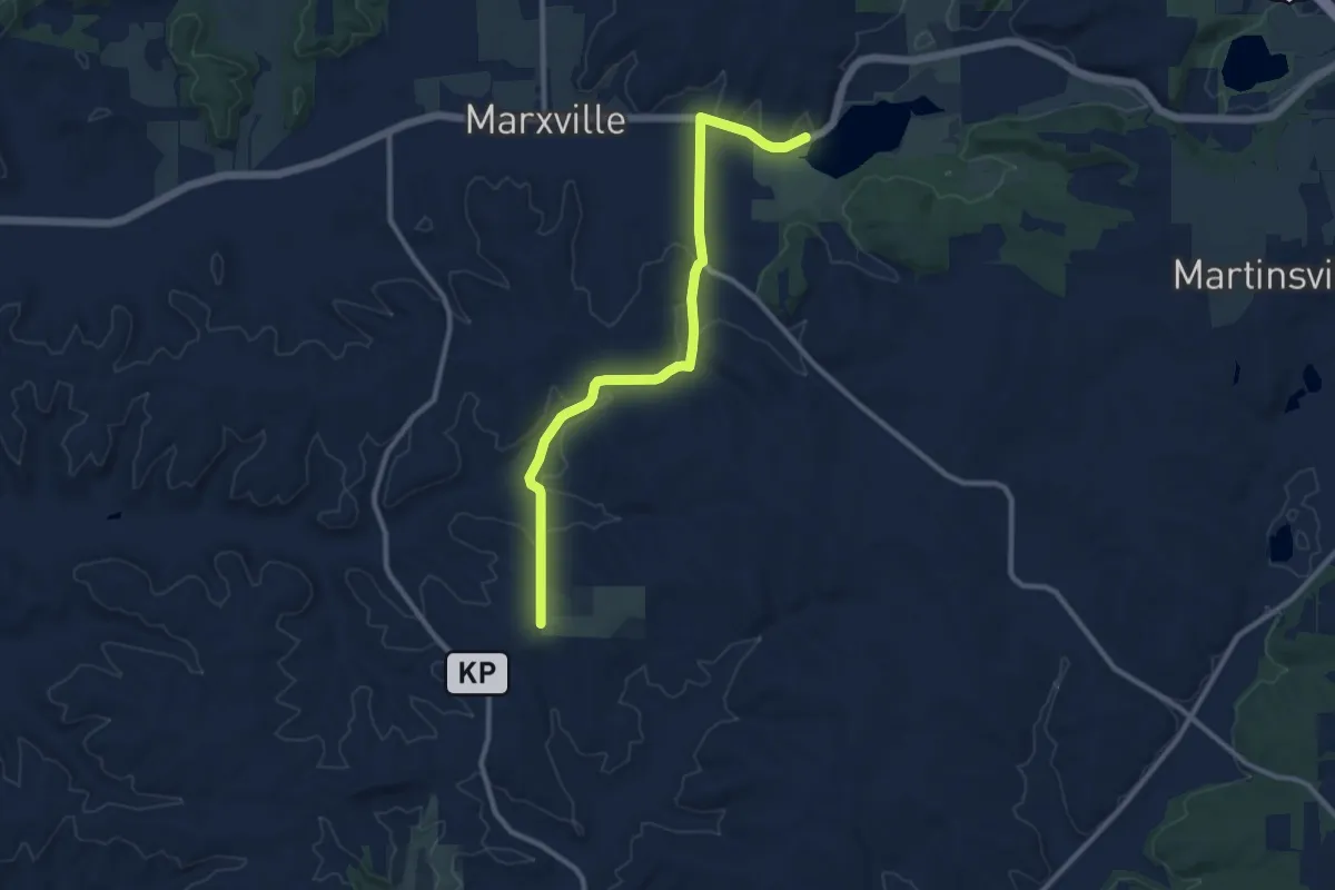
Medium · Trail
IAT - Table Bluff-Indian Lake connection
11.4 km · ↑ 185 m · 3 h 6 min
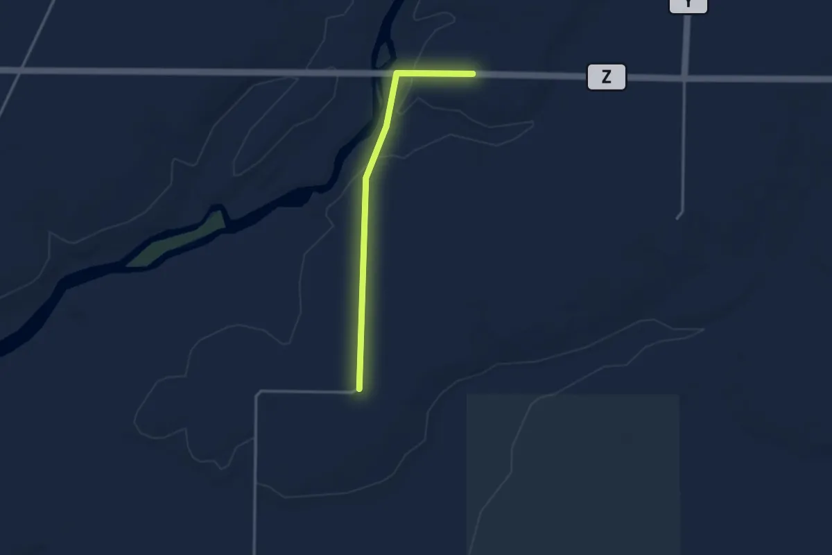
Easy · Trail
IAT - Thornapple Creek-Dells of the Eau Claire connector
3.0 km · ↑ 21 m · 45 min
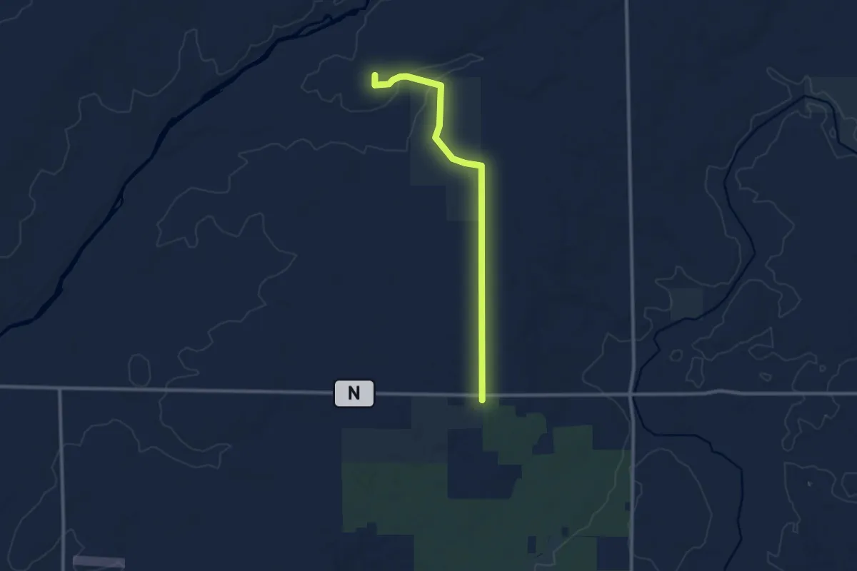
Medium · Trail
IAT - Thornapple Creek Segment
9.7 km · ↑ 72 m · 2 h 27 min
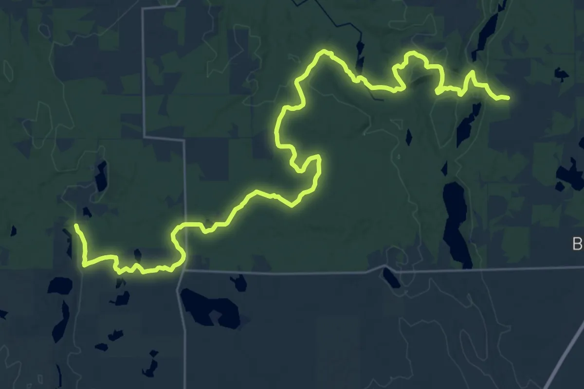
Medium · Trail
IAT - Timberland Hills Segment
17.2 km · ↑ 175 m · 4 h 40 min
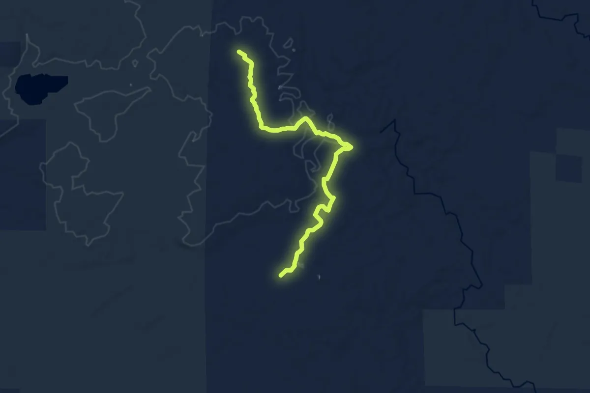
Medium · Trail
IAT - Timberland Wilderness Segment
11.7 km · ↑ 73 m · 2 h 55 min
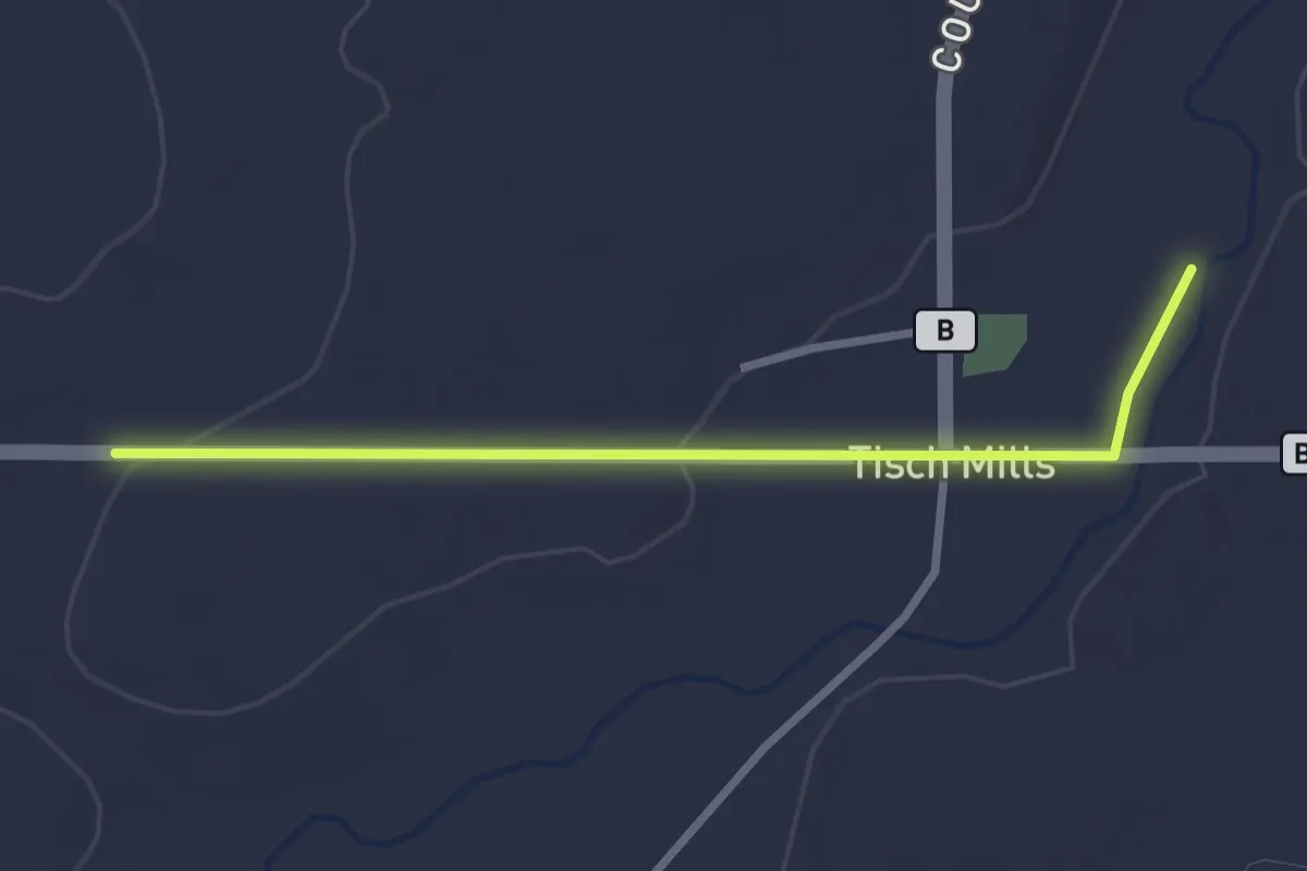
Easy · Trail
IAT - Tisch Mills connection
2.8 km · ↑ 22 m · 43 min
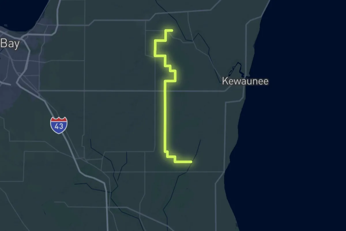
Demanding · Trail
IAT - Tisch Mills-Kewaunee River connection
32.6 km · ↑ 157 m · 8 h 29 min
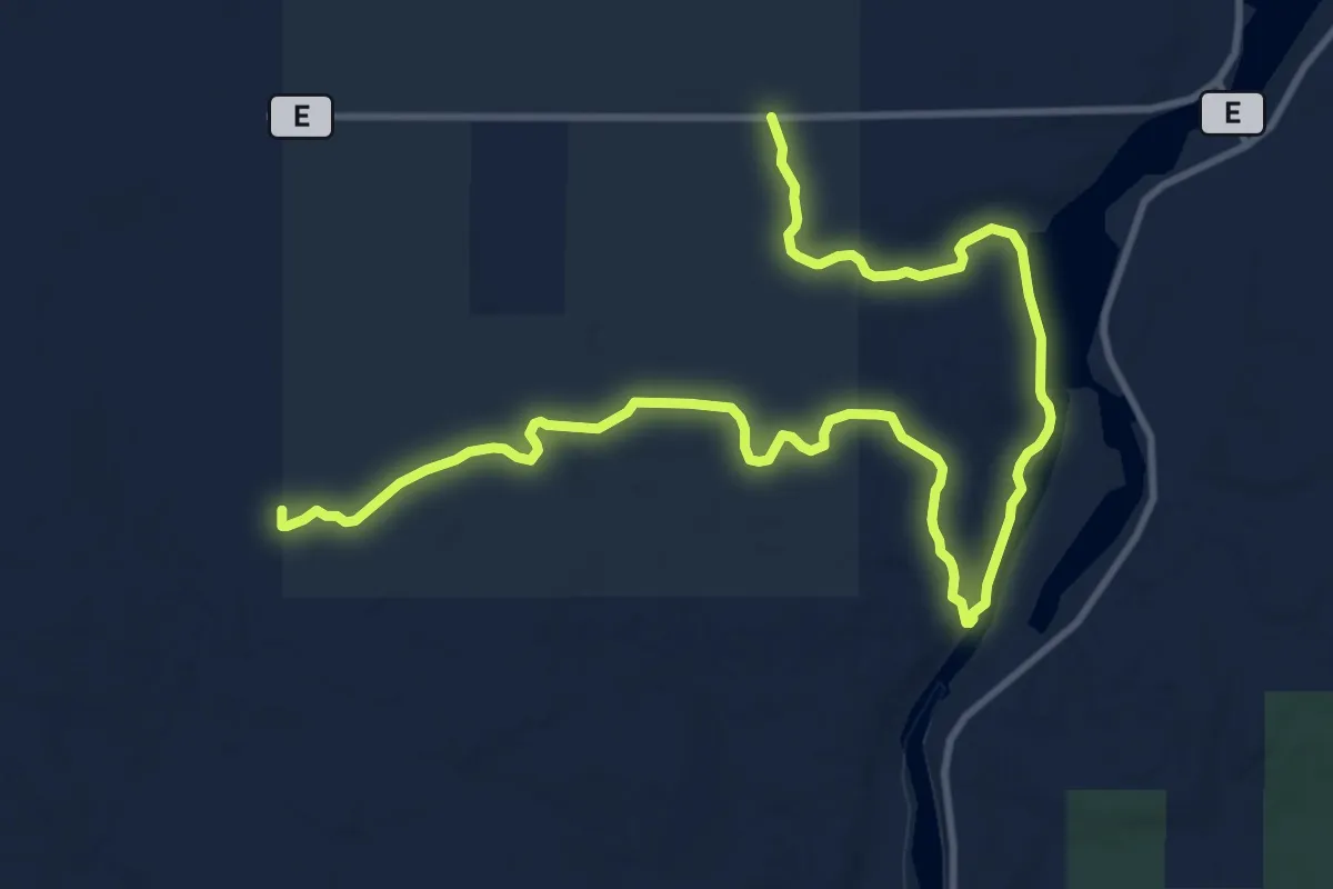
Medium · Trail
IAT - Turtle Rock Segment
15.5 km · ↑ 130 m · 3 h 57 min
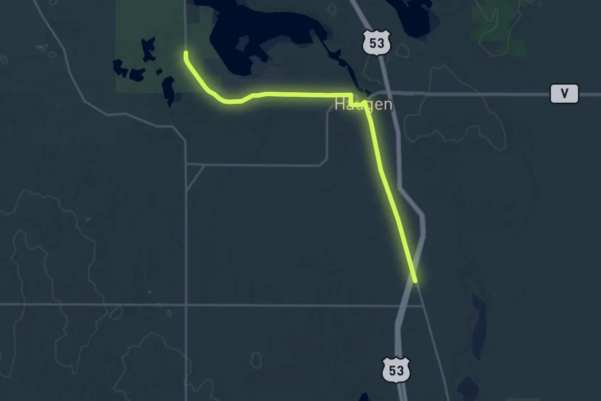
Demanding · Trail
IAT - Tuscobia-Bear Lake connection
18.2 km · ↑ 63 m · 4 h 26 min