Trails in United States
10,367 hiking trails, each with its route, climb, walking time and grade.
All trails, page 94 of 216
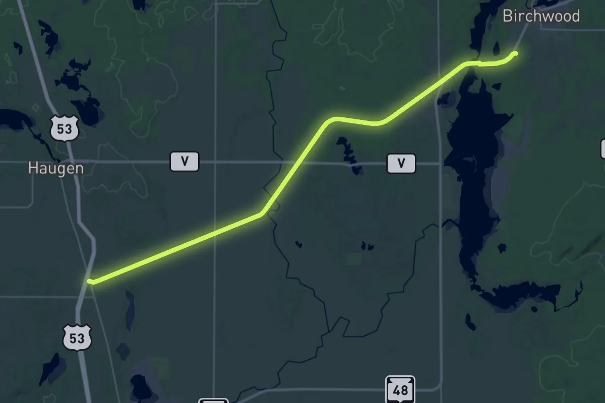
Demanding · Trail
IAT - Tuscobia Segment
18.1 km · ↑ 50 m · 4 h 38 min
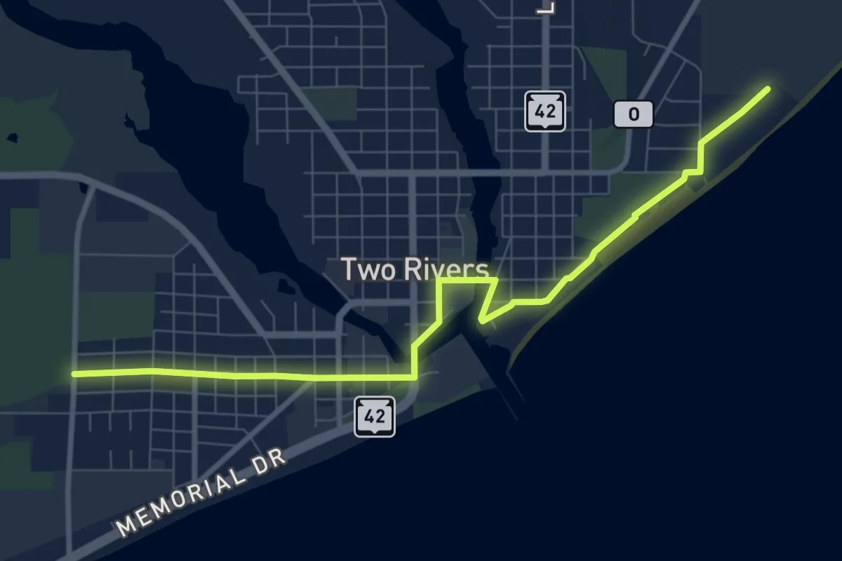
Medium · Trail
IAT - Two Rivers Segment
9.7 km · ↑ 9 m · 2 h 18 min
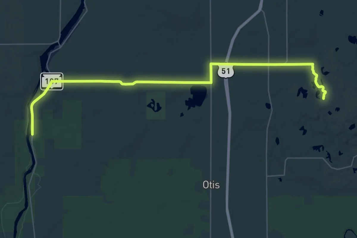
Medium · Trail
IAT - Underdown-Grandfather Falls connection
16.7 km · ↑ 95 m · 4 h 25 min
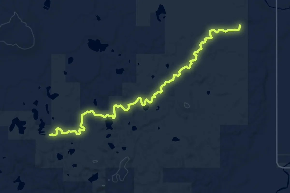
Demanding · Trail
IAT - Underdown Segment
19.1 km · ↑ 327 m · 5 h 13 min
Medium · Trail
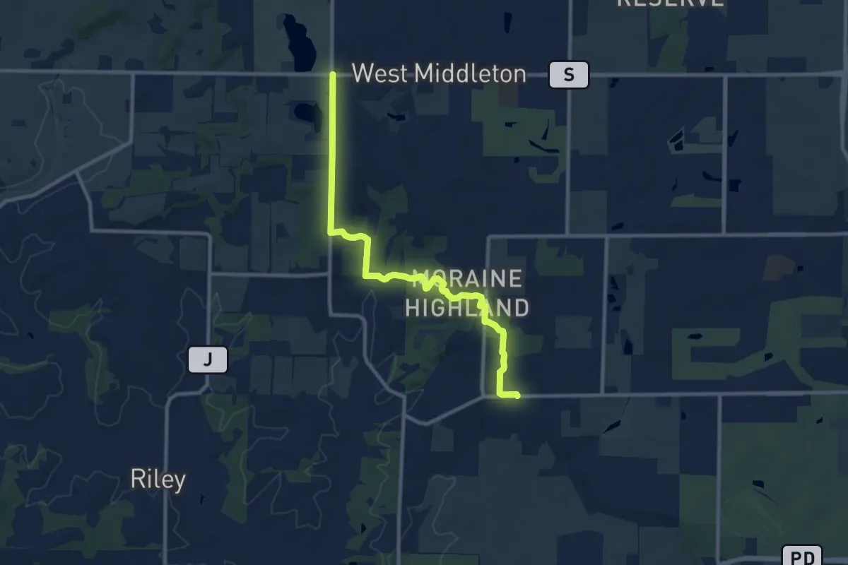
IAT - Valley View Segment
10.5 km · ↑ 185 m · 2 h 52 min
Demanding · Trail
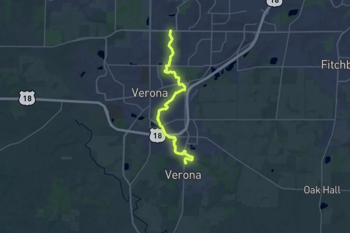
IAT - Verona Segment
20.1 km · ↑ 198 m · 5 h 11 min
Easy · Trail
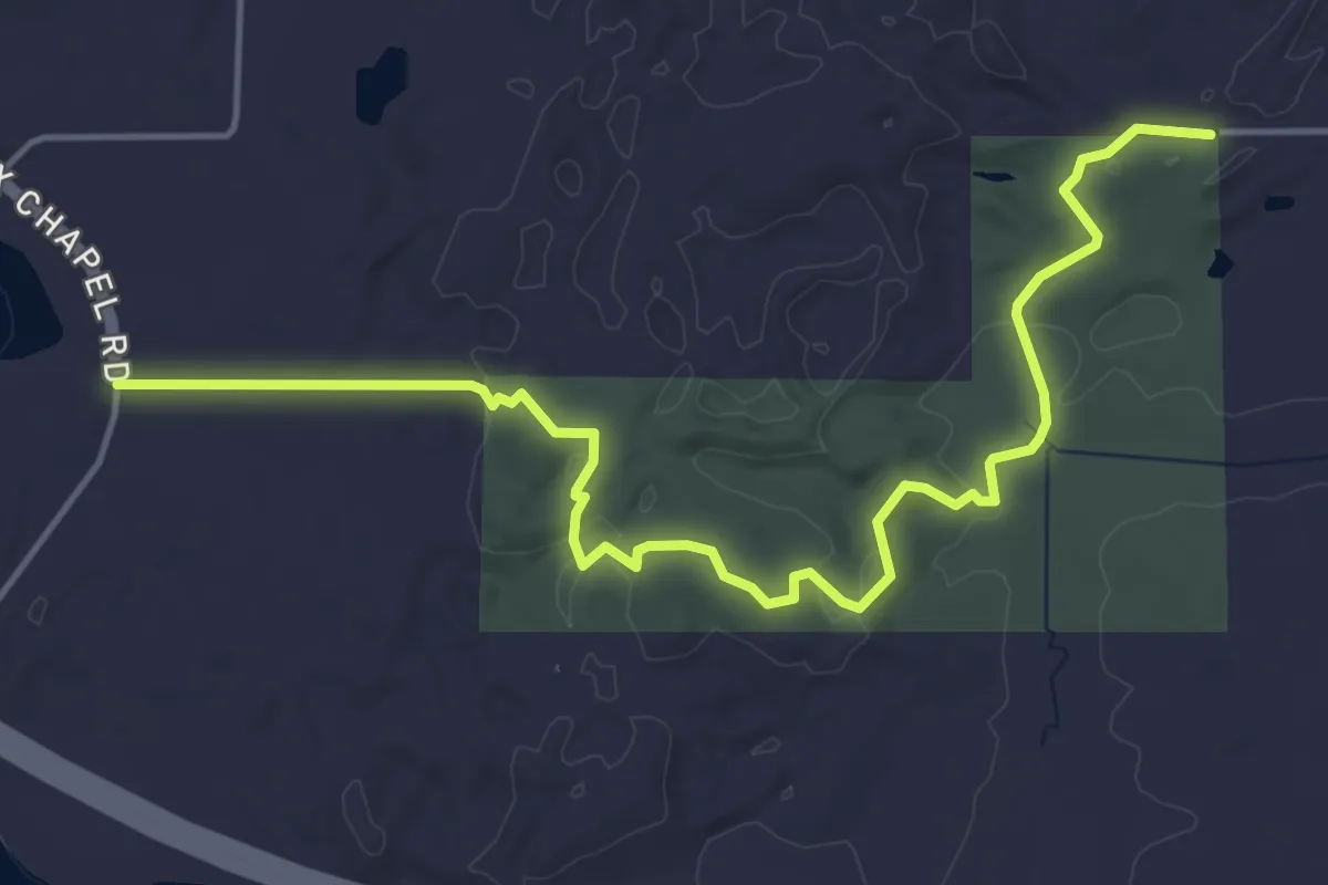
IAT - Walla Hi Segment
6.0 km · ↑ 116 m · 1 h 40 min
Easy · Trail
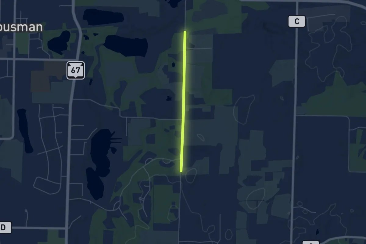
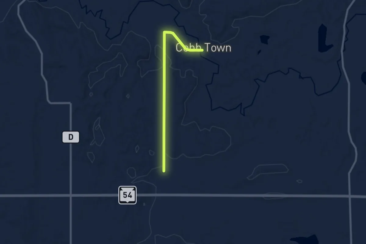
IAT - Waterville connection
4.0 km · ↑ 27 m · 1 h
Easy · Trail
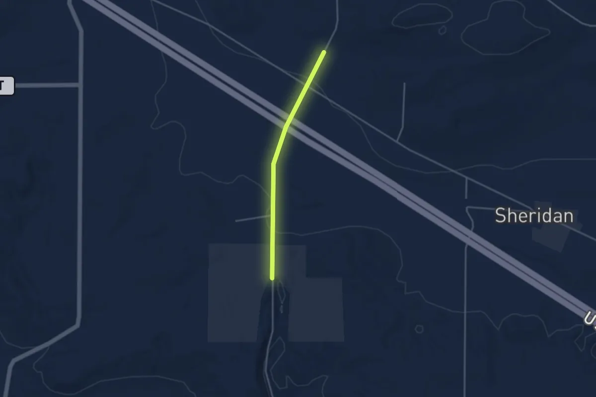
IAT - Waupaca River connection
6.4 km · ↑ 51 m · 1 h 37 min
Easy · Trail
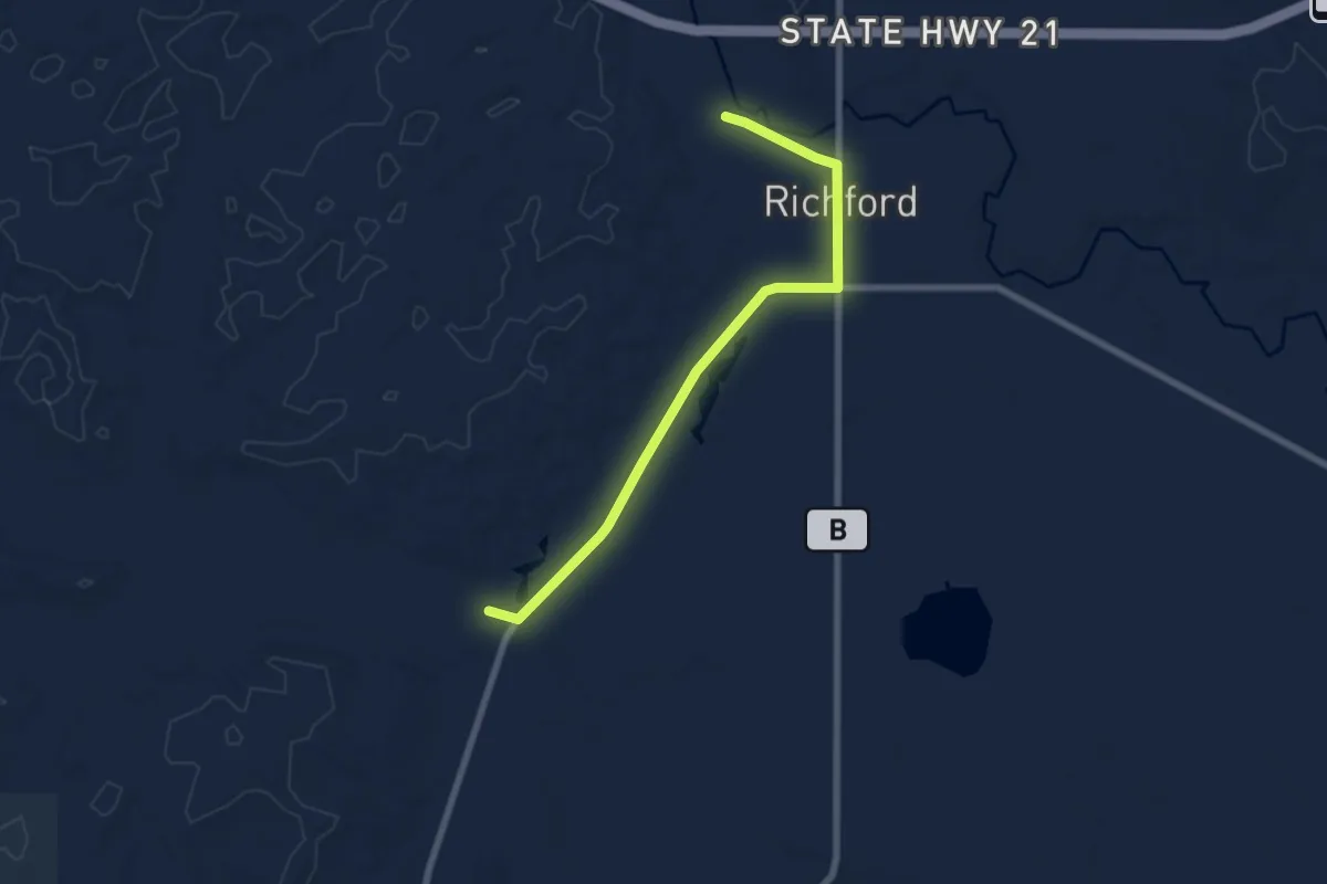
IAT - Waupaca River-Skunk and Foster Lakes connector
3.0 km · ↑ 22 m · 45 min
Easy · Trail
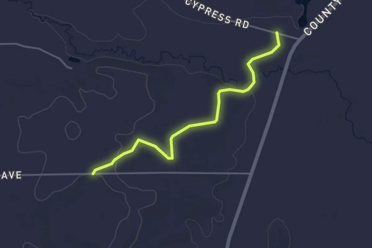
IAT - Wedde Creek-Mecan River connection
7.3 km · ↑ 0 m · 1 h 43 min
Easy · Trail
IAT - Wedde Creek Segment
3.7 km · ↑ 33 m · 57 min
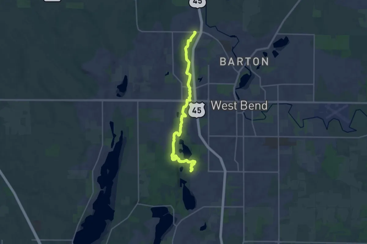
Demanding · Trail
IAT - West Bend Segment
18.8 km · ↑ 277 m · 5 h 2 min
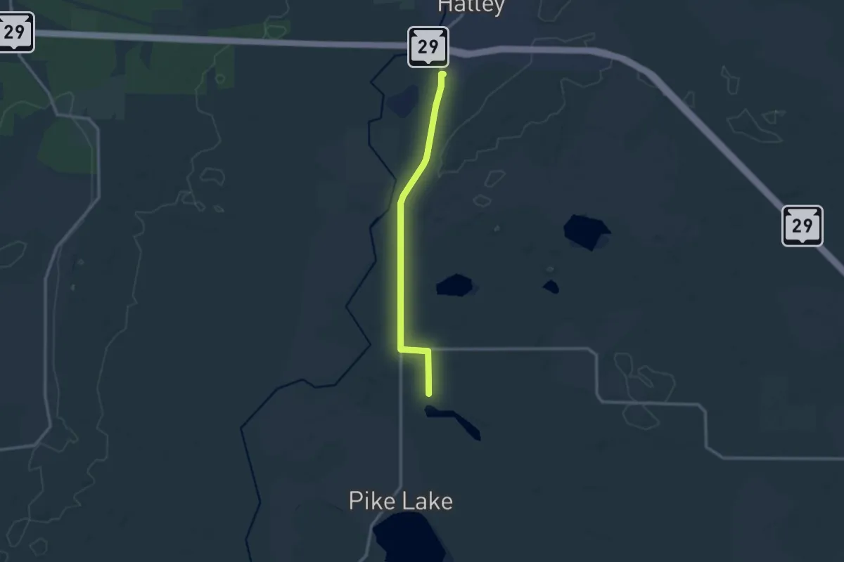
Medium · Trail
IAT - White Cedar-Ringle connector
10.5 km · ↑ 26 m · 2 h 31 min
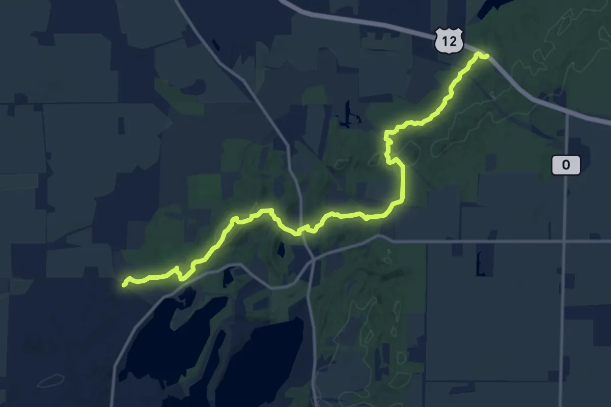
Medium · Trail
IAT - Whitewater Lake Segment
14.1 km · ↑ 261 m · 3 h 53 min
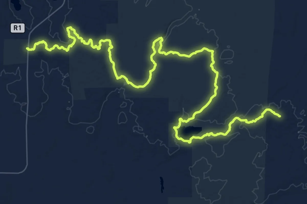
Demanding · Trail
IAT - Wood Lake Segment
21.2 km · ↑ 229 m · 5 h 48 min
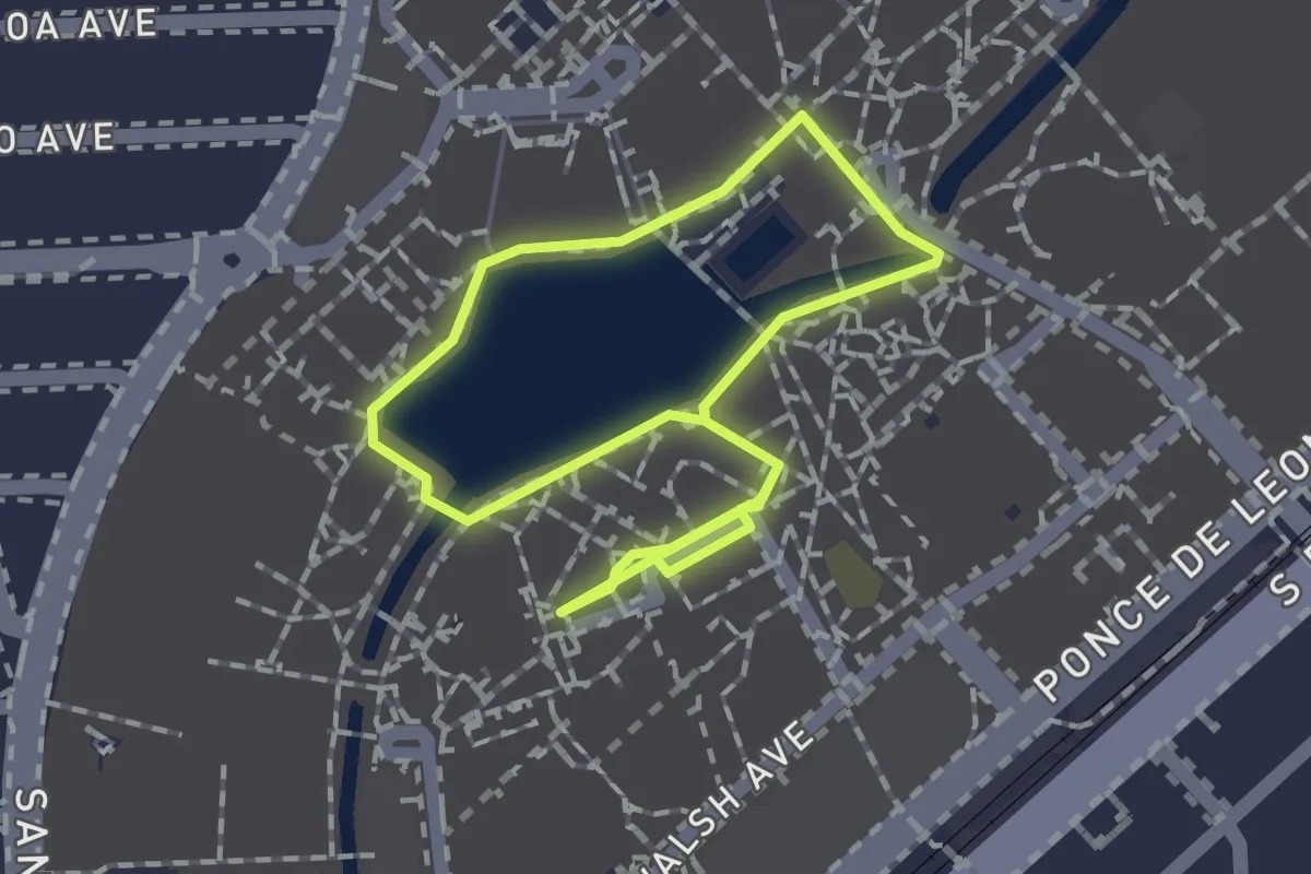
Easy · Trail
Ibis Trail Osceola Loop
1.8 km · ↑ 0 m · 28 min
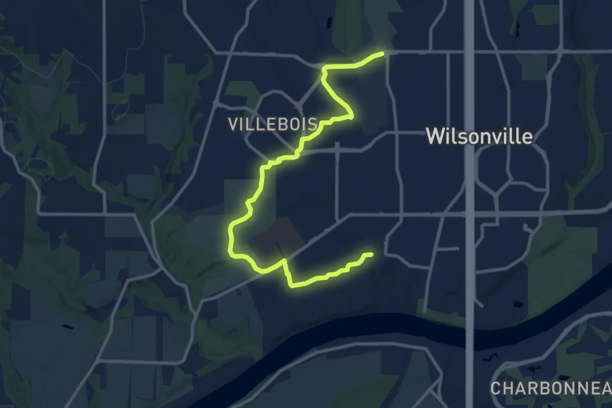
Medium · Trail
Ice Age Tonquin Trail
10.5 km · ↑ 40 m · 2 h 34 min
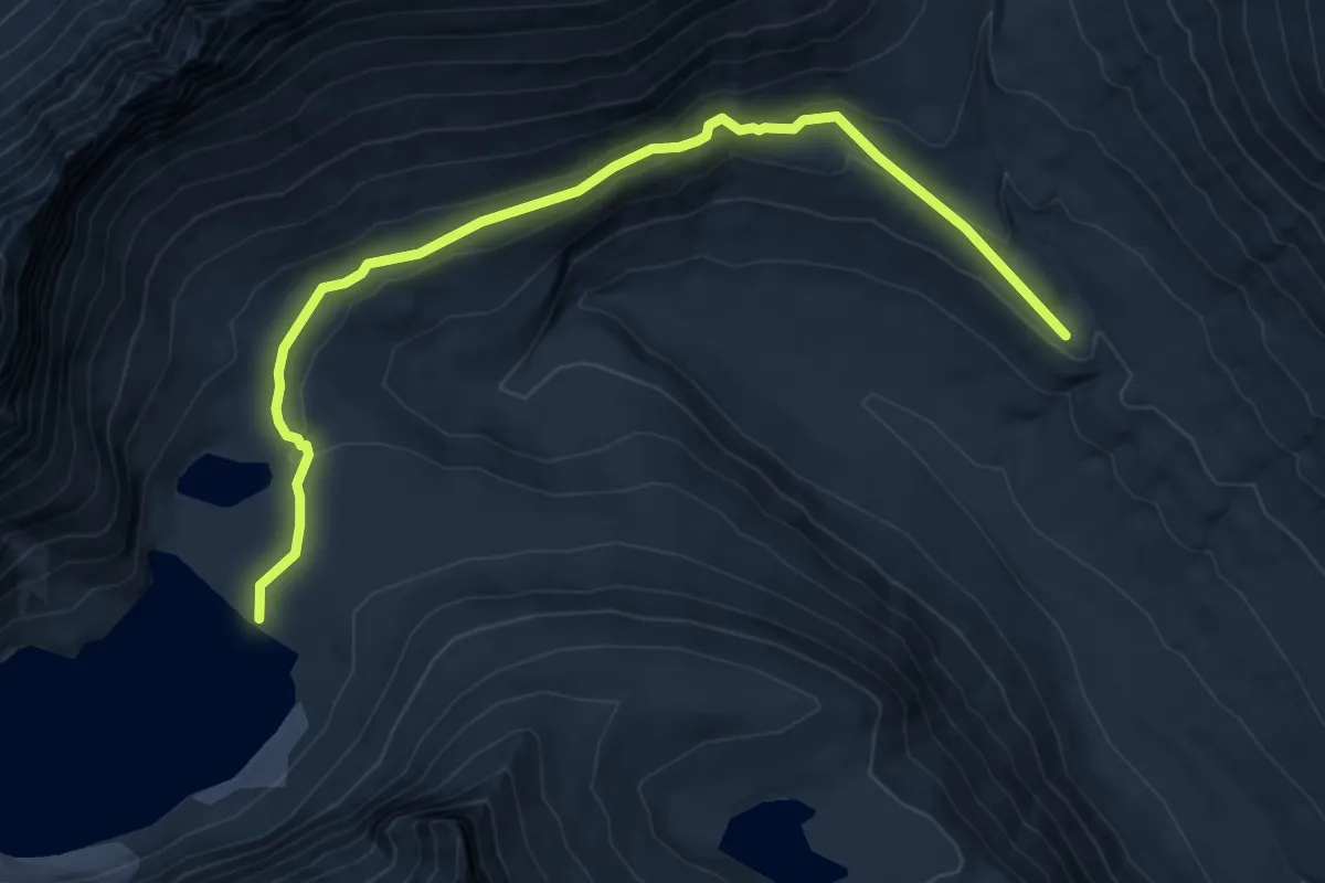
Easy · Trail
Iceberg Lake Trail
6.7 km · ↑ 203 m · 2 h 1 min
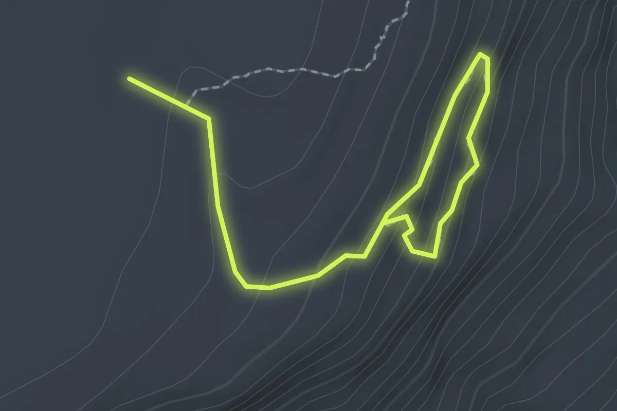
Easy · Trail
Ice Cave Access
2.7 km · ↑ 144 m · 57 min
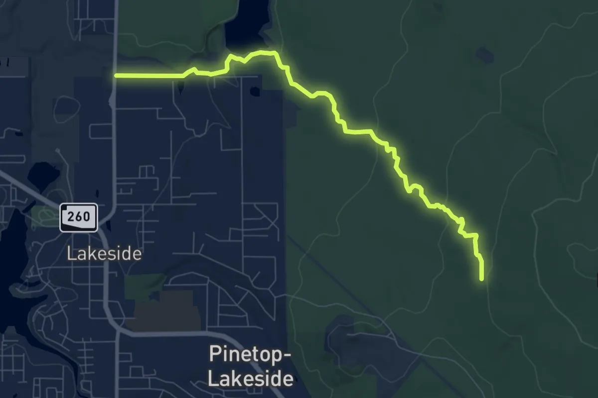
Medium · Trail
Ice Cave Trail
10.7 km · ↑ 182 m · 2 h 55 min
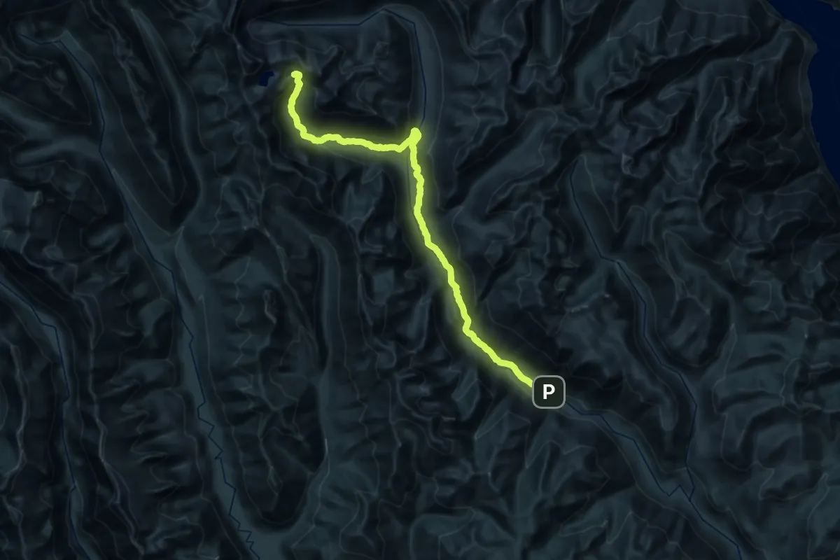
Expert · Trail
Ice Creek Trail
20.8 km · ↑ 1338 m · 7 h 33 min
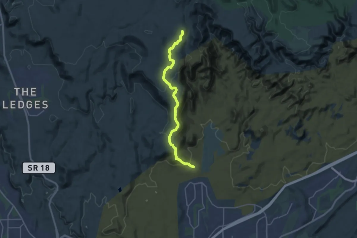
Demanding · Trail
Ice House
18.2 km · ↑ 544 m · 5 h 28 min
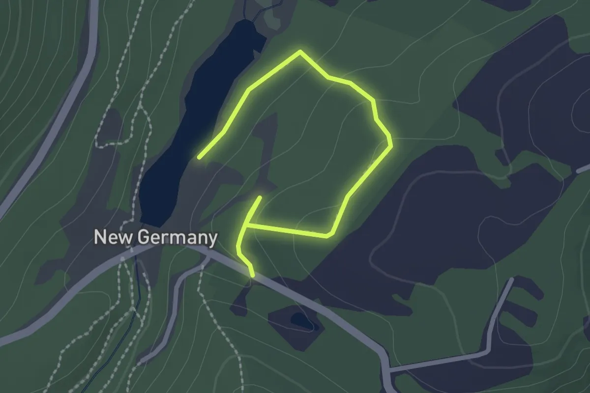
Easy · Trail
Ice House Loop
2.8 km · ↑ 56 m · 47 min
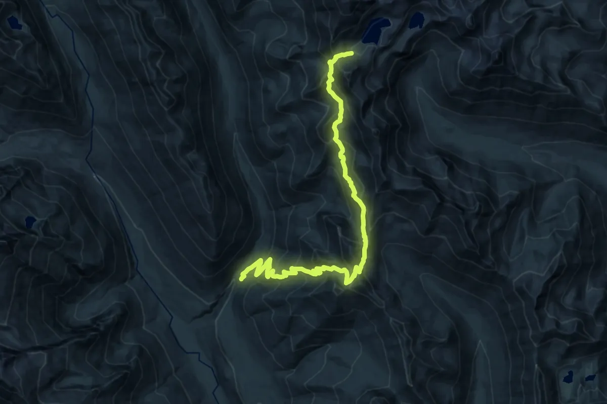
Expert · Trail
Ice Lakes via Phelps Creek
11.4 km · ↑ 1577 m · 5 h 42 min
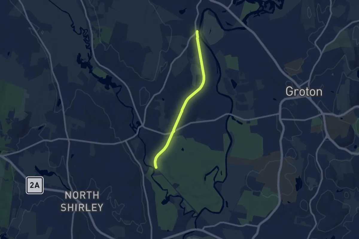
Medium · Trail
Ice Line Trail
8.1 km · ↑ 9 m · 1 h 56 min
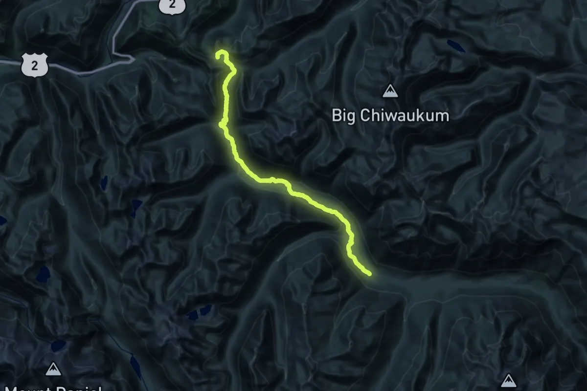
Demanding · Trail
Icicle Creek Trail
19.1 km · ↑ 796 m · 6 h 11 min
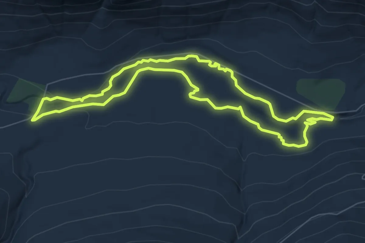
Easy · Trail
Icicle Gorge Trail
6.4 km · ↑ 112 m · 1 h 50 min
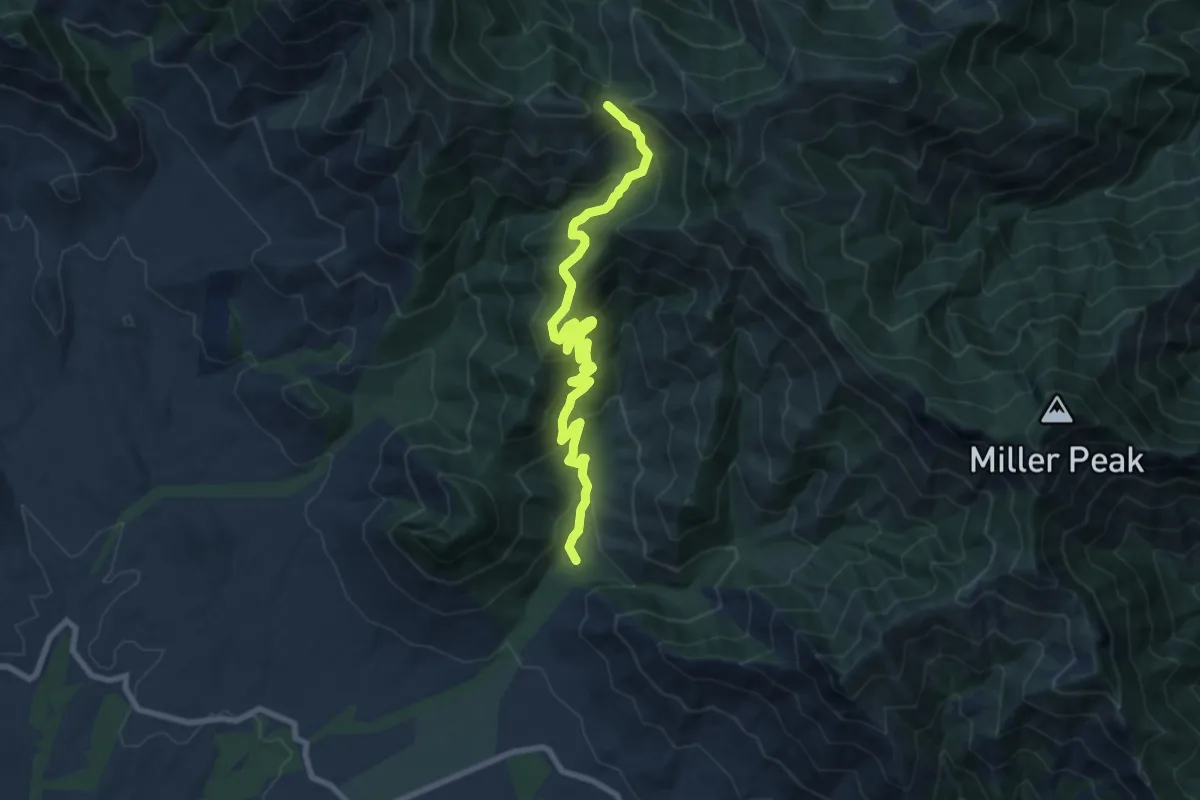
Medium · Trail
Ida Canyon Trail #110
11.1 km · ↑ 662 m · 4 h 3 min
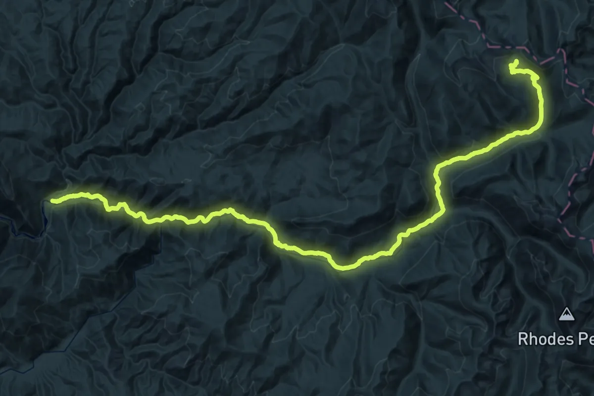
Demanding · Trail
Idaho Centenial Trail
33.7 km · ↑ 1381 m · 10 h 57 min
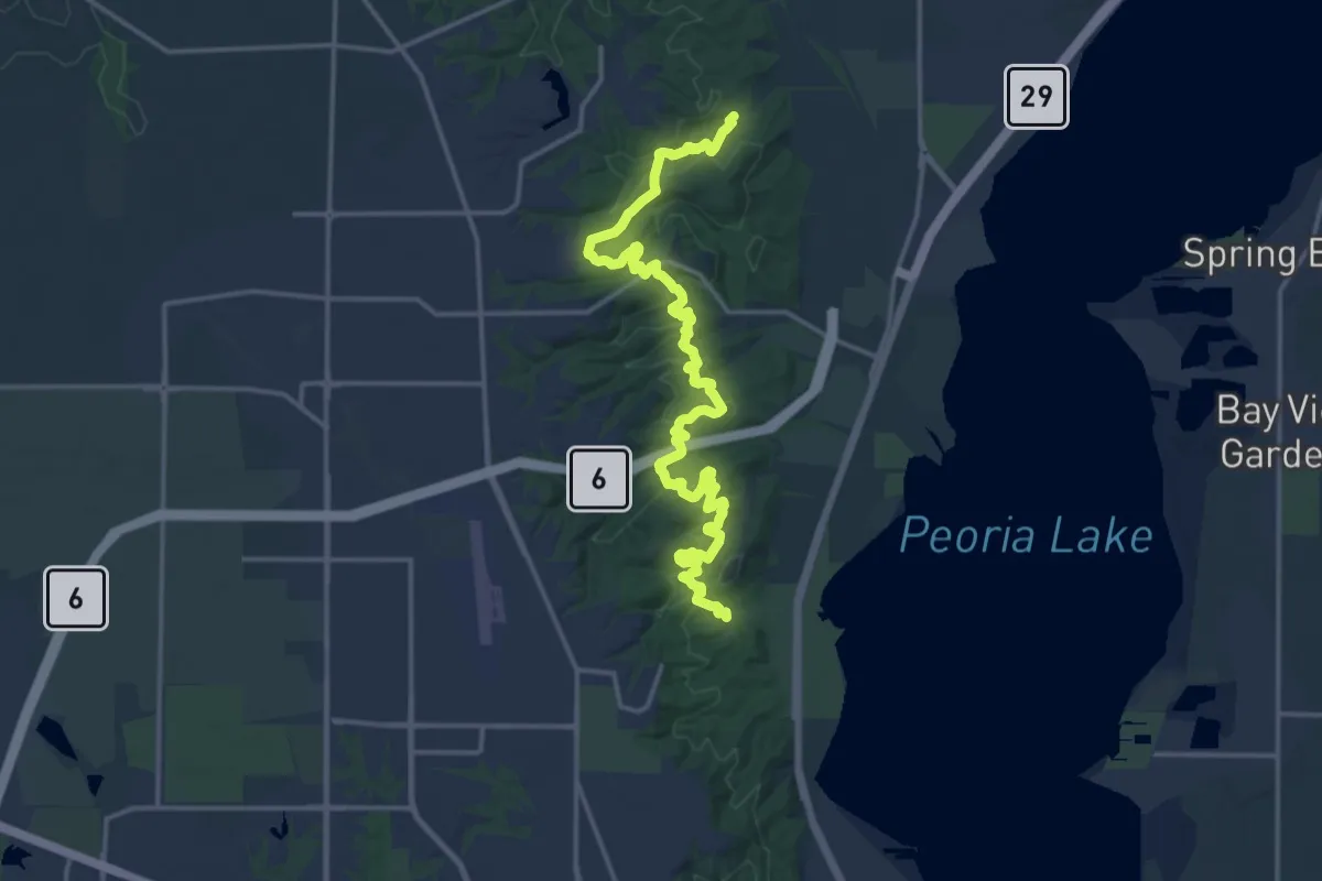
Demanding · Trail
Illinois River Bluff Trail
22.0 km · ↑ 851 m · 7 h 3 min
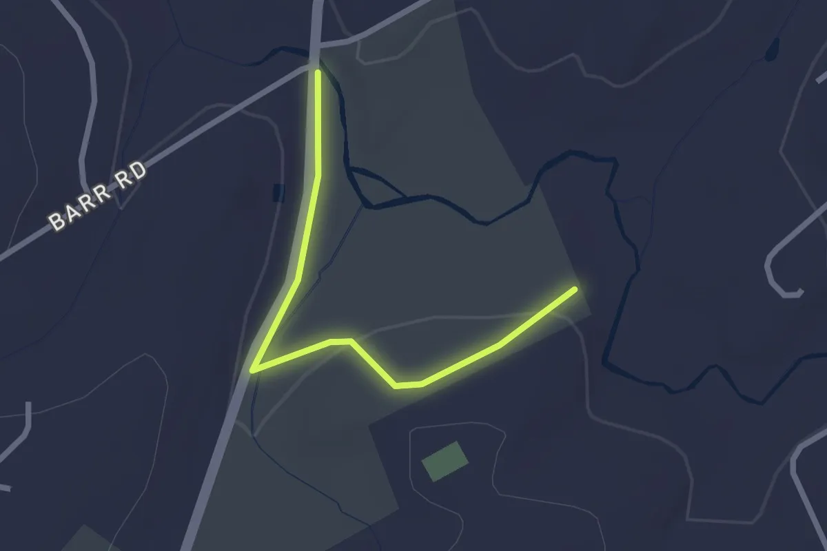
Easy · Trail
Important Bird Area Hike
2.5 km · ↑ 45 m · 41 min
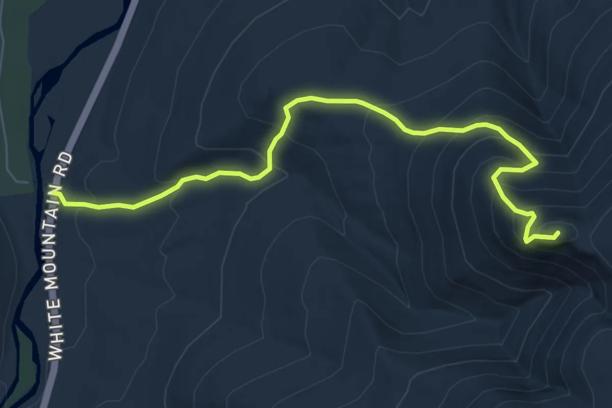
Medium · Summit
Imp Trail
6.9 km · ↑ 613 m · 2 h 57 min
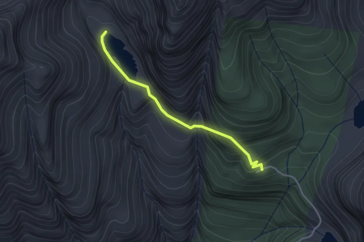
Easy · Trail
Independence Lake Trail
2.7 km · ↑ 260 m · 1 h 12 min
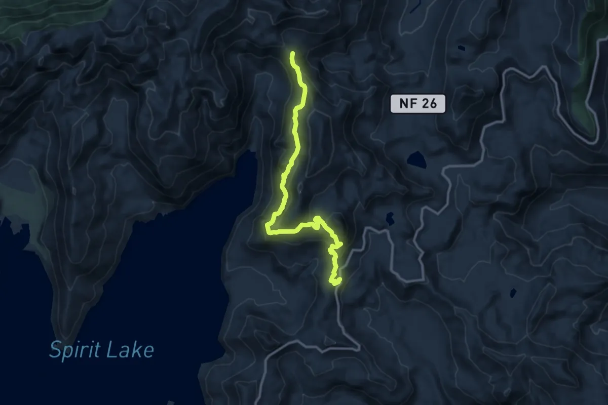
Medium · Trail
Independence Pass Trail
10.5 km · ↑ 523 m · 3 h 37 min
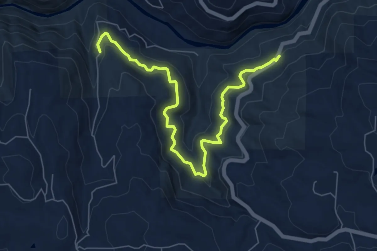
Easy · Trail
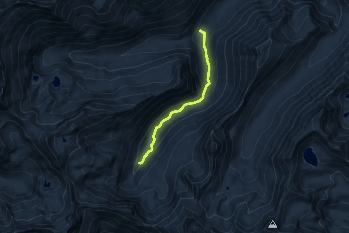
Independence Trail
7.5 km · ↑ 227 m · 2 h 15 min
Medium · Trail
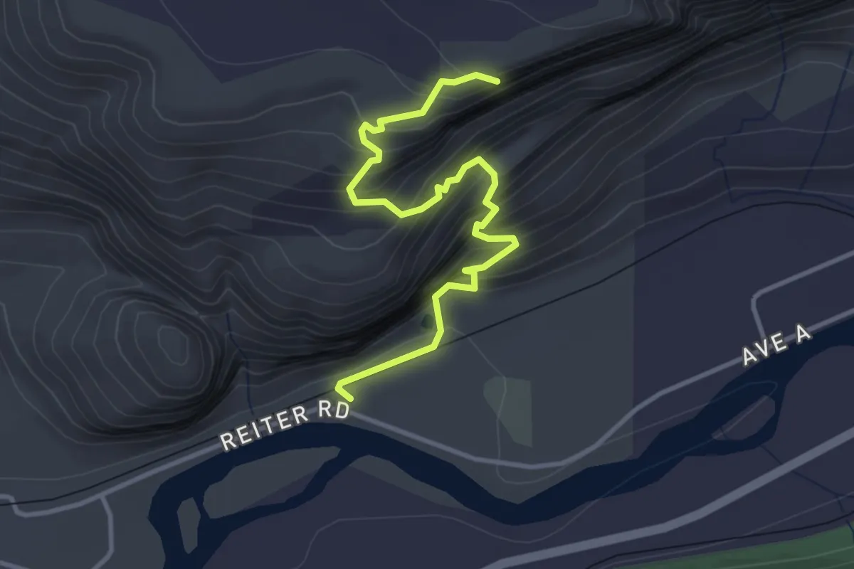
Index Creek Trail
8.2 km · ↑ 297 m · 2 h 35 min
Medium · Trail
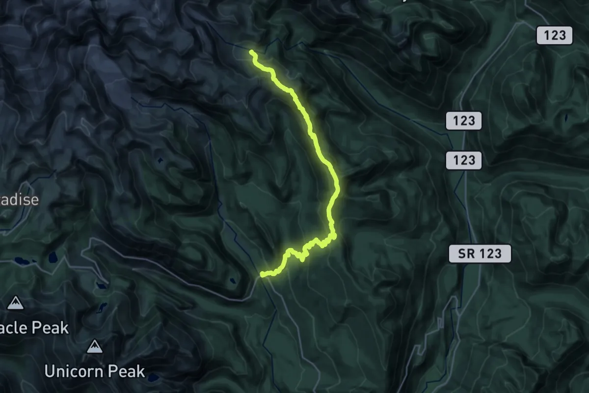
Index Town Wall Trail
3.7 km · ↑ 433 m · 1 h 48 min
Demanding · Trail
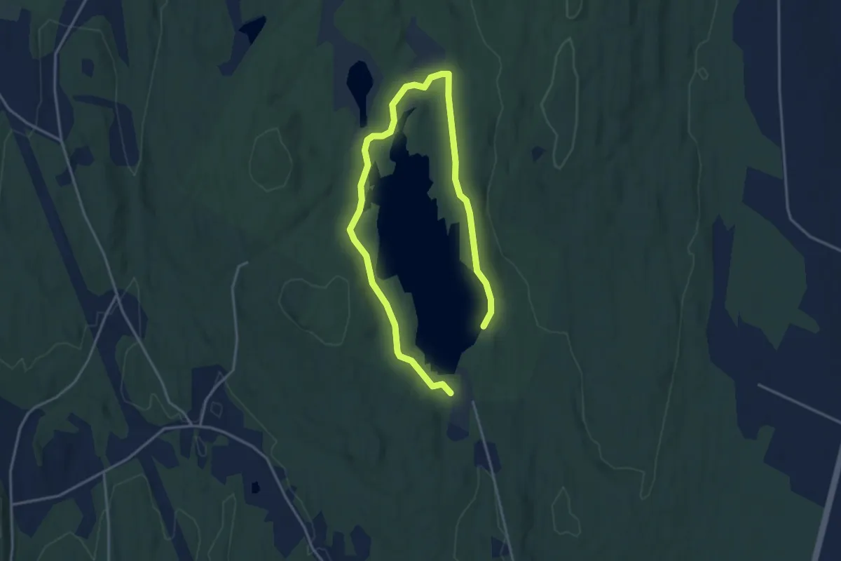
Indian Bar Trail
11.5 km · ↑ 1044 m · 4 h 49 min
Easy · Trail
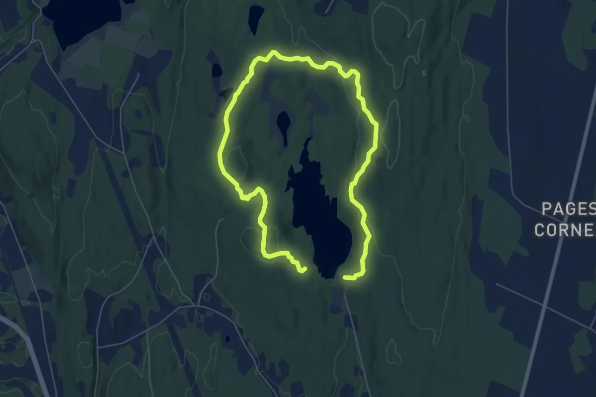
Indian Brook Loop Trail
5.5 km · ↑ 94 m · 1 h 30 min
Medium · Trail
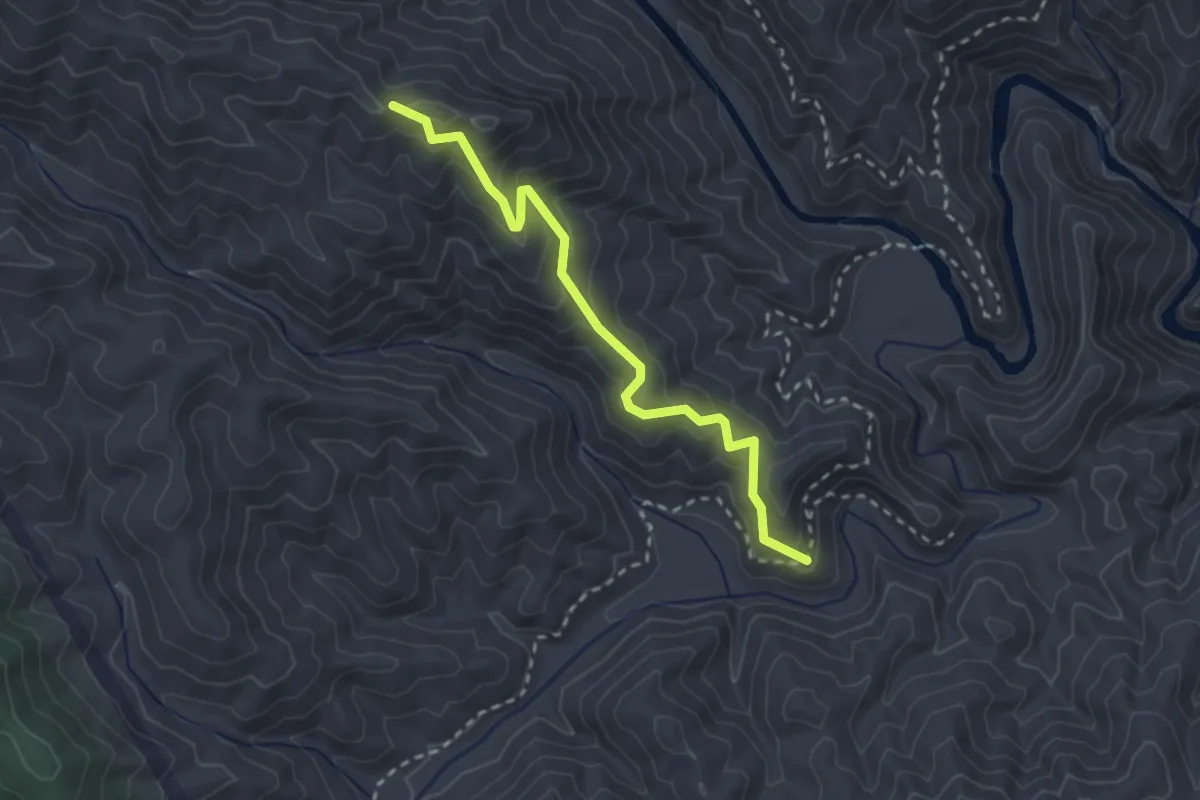
Indian Brook Outer Loop
10.1 km · ↑ 305 m · 3 h 2 min
Medium · Trail
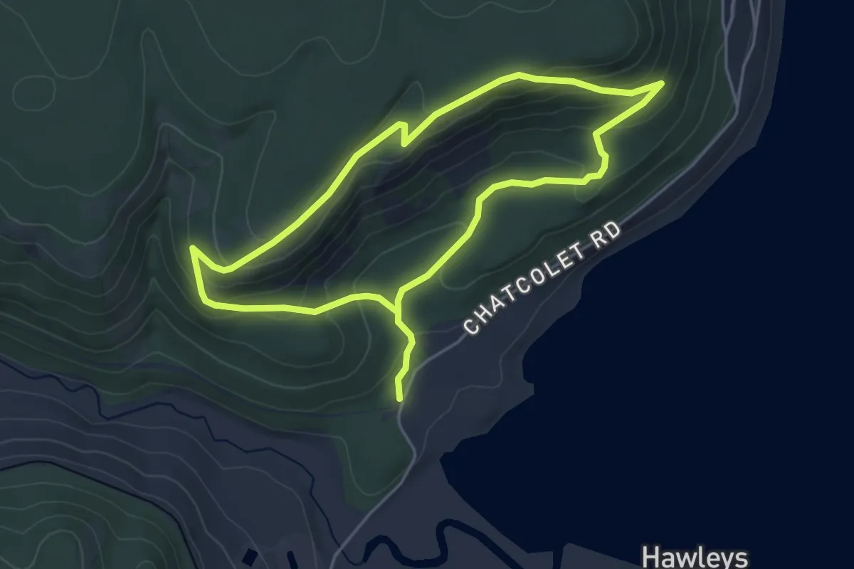
Indian Camp Trail
3.1 km · ↑ 214 m · 1 h 11 min
Easy · Trail
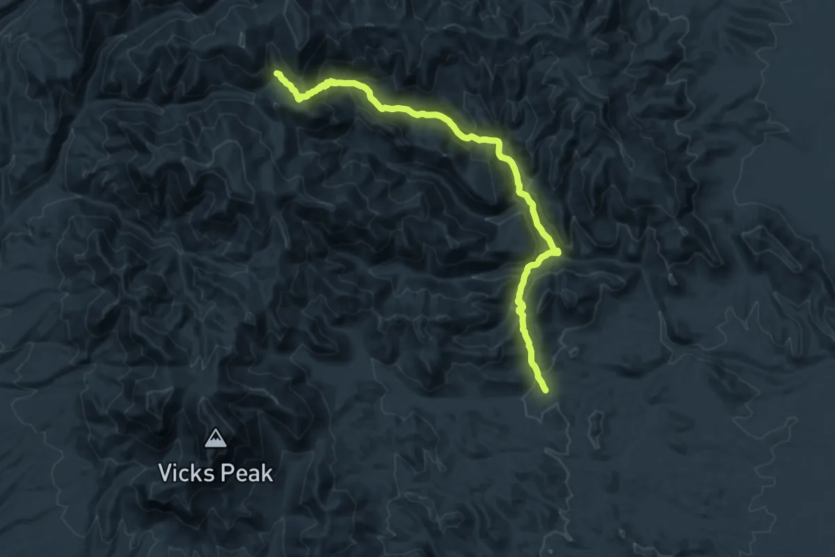
Indian Cliffs Trail
4.0 km · ↑ 165 m · 1 h 21 min
Demanding · Trail
Indian Creek Trail
13.7 km · ↑ 1199 m · 5 h 39 min
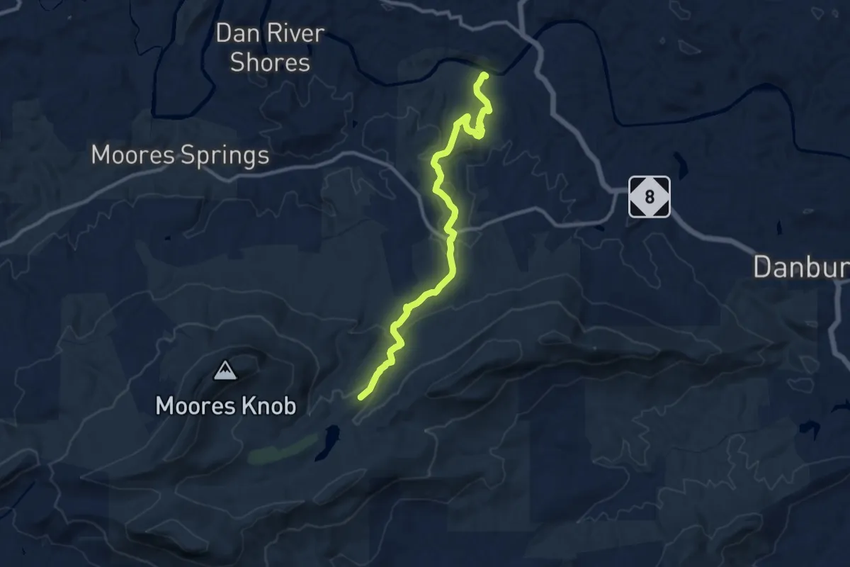
Medium · Trail
Indian Creek Trail
11.5 km · ↑ 353 m · 3 h 28 min
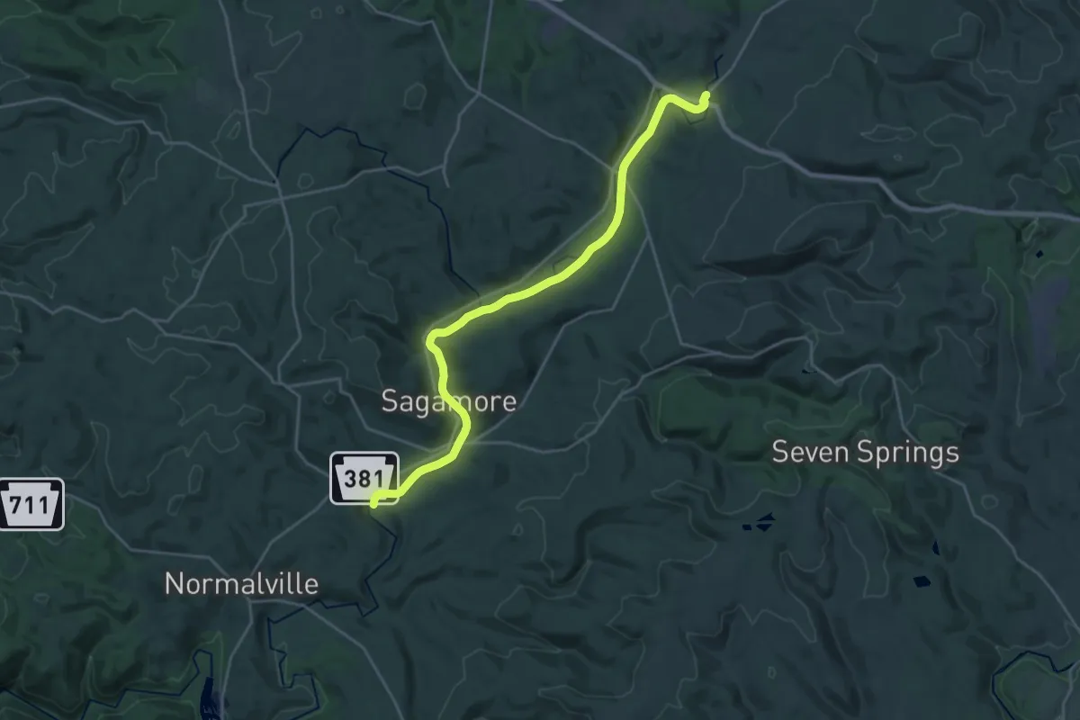
Demanding · Trail
Indian Creek Valley Trail
26.8 km · ↑ 94 m · 6 h 32 min
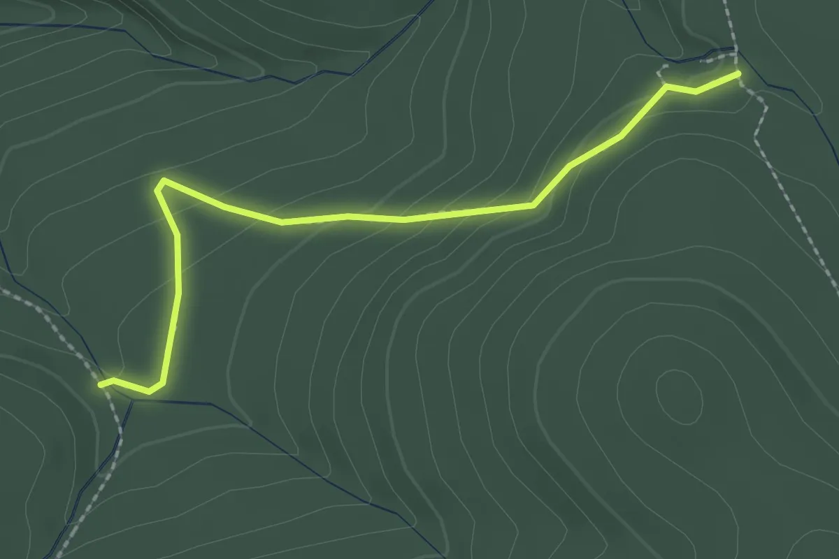
Easy · Trail
Indian Falls- Lake Arnold Crossover Trail
2.4 km · ↑ 110 m · 48 min
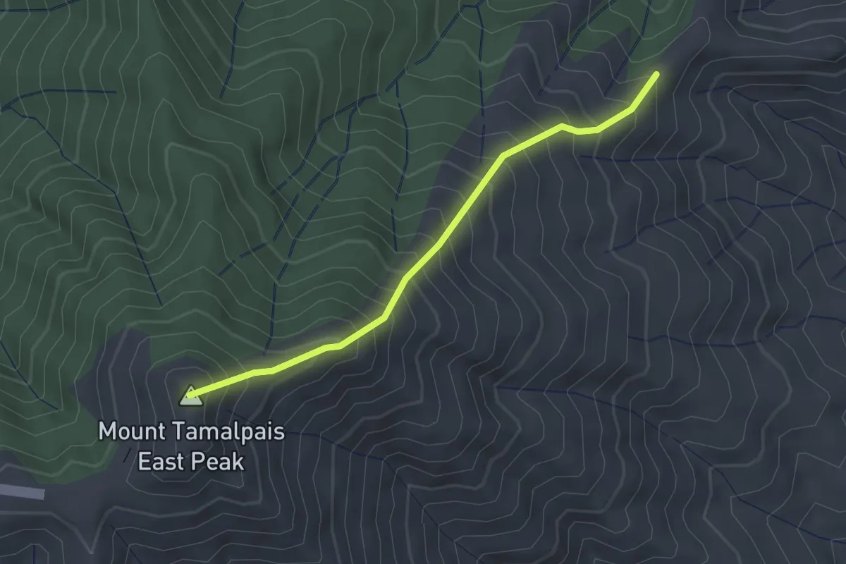
Medium · Summit
Indian Fire Trail
2.3 km · ↑ 411 m · 1 h 25 min